Tag Archives: Derwent River

Last weekend Hobart focused on the Derwent River

Last week I posted information in advance of the Royal Hobart Regatta and the Australian Wooden Boat Festival both of which celebrated Hobart’s water-based history on and in relation to the Derwent River.

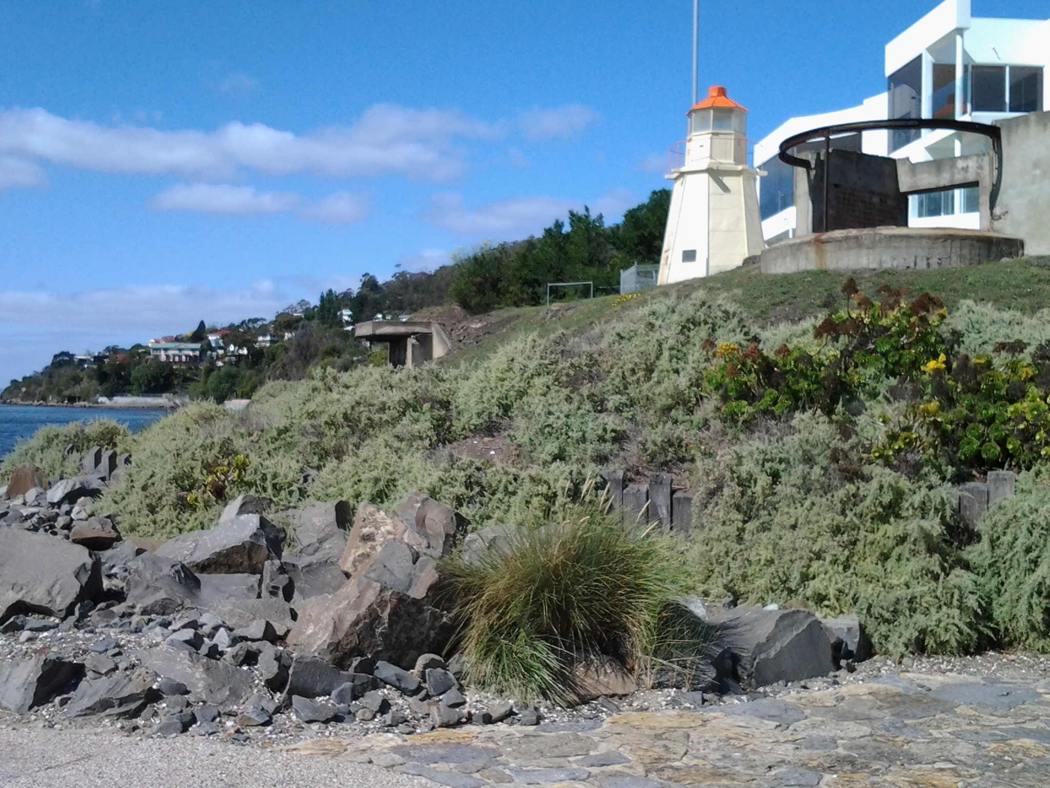
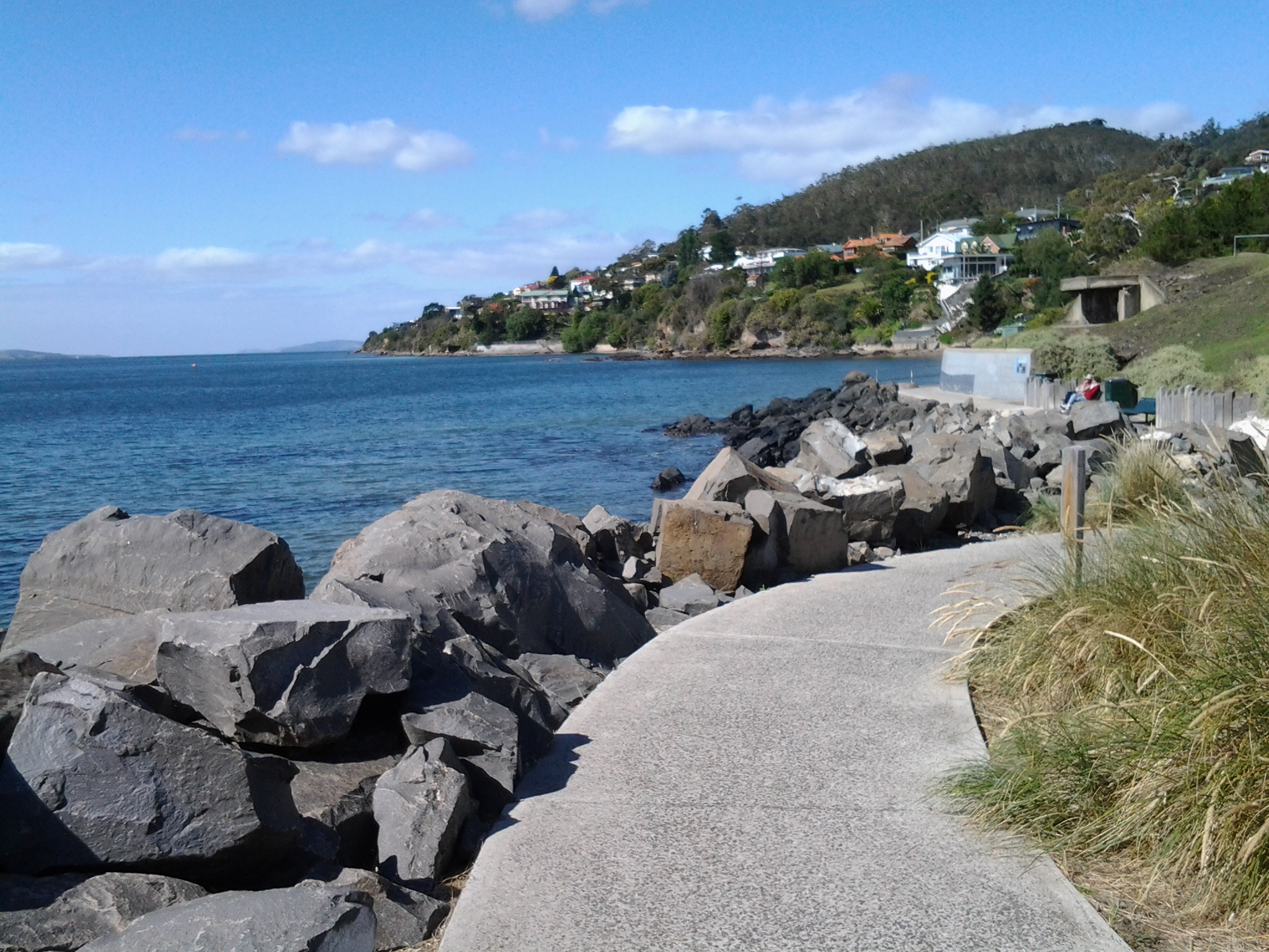
On Friday afternoon, the Parade of Sails offered a flotilla of yachts and sailing ships which manoeuvred to the starting point of John Garrow Light and then headed upriver to Sullivans Cove at the wharf in Hobart. Followers may recall that, on an earlier stage of my walk along the Derwent River, I passed the John Garrow navigation light in Lower Sandy Bay when I reached Blinking Billy Point.

Last Friday I thought that a raised vantage point would give me a great view of the Parade of Sails, so I joined with neighbours from their balcony to watch.  I saw hundreds of marine craft sailing up the river on a heavenly blue sky day. The wind pushed them quickly upriver to Sandy Bay and then they seemed to stall. The sails congregated en masse close to shore between Wrest Point Hotel Casino and the suburb of Battery Point.

20150206_123340

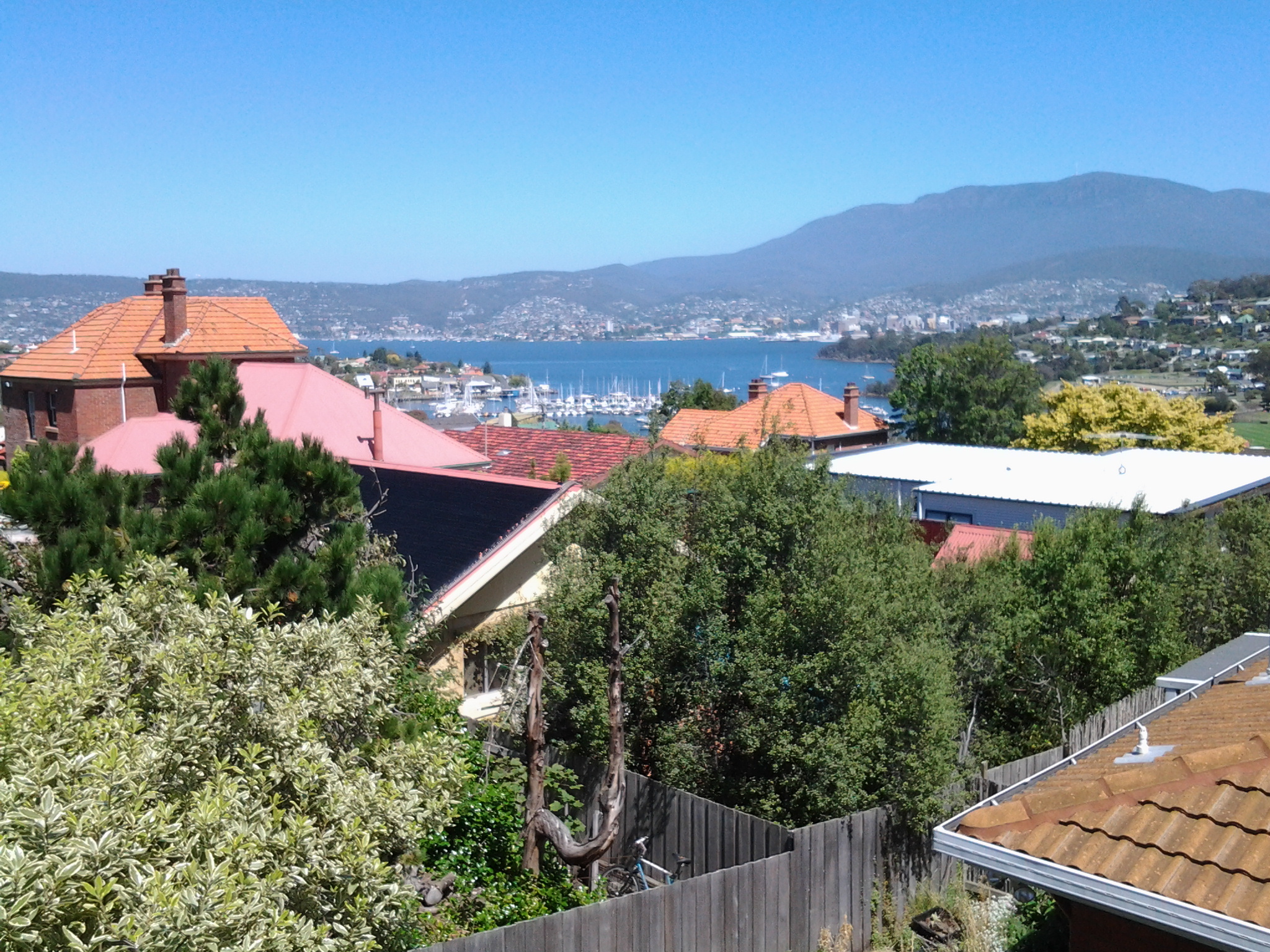
This was so far away and unless you enlarge my photos you will believe there were few vessels on the Derwent River that day.  When not much forward movement happened, I realised that the finishing time for the Parade of Sails was 1.30pm but it wasn’t yet 1pm. Therefore, I presumed the ships decided to wait so the grand entrance/arrival into the Hobart docks could be on time.

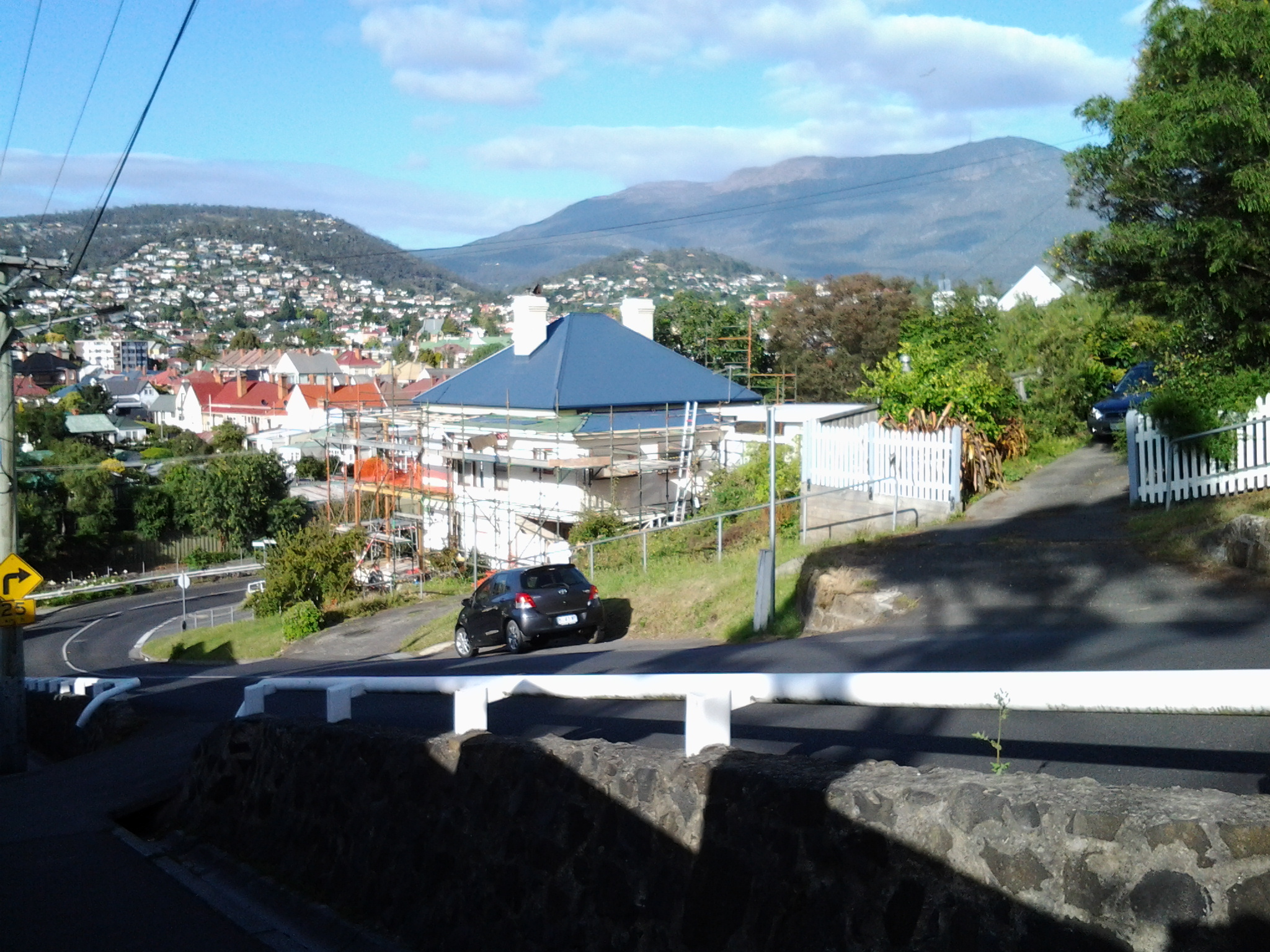
On Monday I watched a swooping display from 4 synchronised planes, the Roulettes. They flew in complex formations around the city, across Mount Wellington and along the Derwent River, spewing steam behind to mark their athletic twists and turns.

It was a packed weekend and the media provided spectacular views of all the activities.  Have a look and consider being around when these events are held next time.

The Royal Hobart Regatta site is at: http://www.royalhobartregatta.com/

The Australian Wooden Boat Festival site is at: http://www.australianwoodenboatfestival.com.au/home

Colourful media coverage of this year’s events include:

The ebb and flow of the Derwent River against the Alum Cliffs

I made a 25 second video of the seemingly gentle movement on the surface of the Derwent River as it moved backwards and forwards to and from the Alum Cliffs, as seen through dry forest. It was rather hypnotic and I can now see the video would have been more powerful if longer.

To see South of Hinsby Beach with waves on the Derwent River Tasmania go to : https://www.youtube.com/watch?v=MdnLETfiRWA

Taroona’s coastline as experienced on Stage 11 of my walk along the Derwent River

The last leg of this Stage was the most interesting because I made discoveries which delighted me deeply.

At 12.18pm, I left my Channel Highway resting spot and walked downhill toward the people-free Taroona High School (closed for school holidays). Close to the bottom of the hill I could see the tops of boathouses and a ‘beach’ to my right so I took a dogleg to Melinga Place on my right and continued downhill.

20150119_122623

I didn’t know this existed. Mostly a rocky shore, a little sand, edged by a mown green lawn.  Serene.  Across the Derwent River, I could see Gellibrand Point at the north of the South Arm peninsula.

20150119_122608

Walking southwards it wasn’t long before I entered the foreshore bushland on an easy-to-walk dirt track.

20150119_122632 20150119_123039

Later I found this had a name: the Taroona Foreshore Track. At one point the ‘track’ passed over a ‘beach’ of shells and rocks then returned to dirt and rose up over areas raised above the water.

20150119_123407 20150119_123610

An onshore breeze kept me moving.  Every so often, steep trails descended to the rocky shore but I realised that staying on the track would be more comfortable than rock hopping the edge of the River.

When I walked through a grove of trees that were obviously different, I was delighted to read an information panel which informed me this was an “unusual and isolated stand of blackwoods.  Acacia melanoxylon.”  The species is also known as Sally wattle, lightwood, hickory, mudgerabah, Tasmanian blackwood or black wattle. Their rough bark seemed as if it would flake off in small pieces but it was toughly attached.

20150119_124053 20150119_124059

At 12.46pm I looked back northward and could still see the boathouses near the High School.

Looking back to boathouses below Taroona HS

A couple of minutes later I reached Crayfish Point where I noticed craypot markers bobbing in the Derwent River as evidence that fishing for crayfish/lobster was taking place.  However, a sign seemed to indicate this was part of fisheries research by the University of Tasmania.

20150119_124945

Brilliant orange lichen sprawled across some of the rocks.  Huge Pied Cormorants rested on rocks with water lapping at their feet.  This was one of those brilliant days when all the superlatives in the world seem inadequate.

It was near here that an information panel enlightened me about some of the native vegetation.  Now I can identify not only Pigface which I love, but also Bower Spinach and Grey Saltbush. Why I didn’t take photos of the real thing while I was walking I cannot say. Daft!  So I have Googled for images:  If you type in Bower Spinach Tasmania Images, up comes a suite of pictures showing this fleshy leaved plant.  Try something similar to find images of the softly grey coloured Grey Saltbush.

When I reached the start of Taroona Beach at 12.53pm, I looked up the hill and in the distance I could see the Shot Tower that had been built in 1870 (the Shot Tower, a major tourist attraction, is normally accessible from the Channel Highway).

The Batchelor’s Grave Historic Site, just above the foreshore of Taroona Beach, was a surprise.  Wikipedia provides the information that this is “the grave of a young sailor, Joseph Batchelor, who died on the sailing ship Venus in the Derwent Estuary in 1810, and was buried ashore on 28 January 1810. It is reputed to be the oldest European grave in Tasmania”. I am amazed at this idea.  I cannot imagine that many Europeans didn’t die and were buried in Van Diemens Land before 1810 – however, maybe this is the only stone grave marker left from early in the 19th century.

20150119_125452 20150119_125441

Taroona Beach is backed by Taroona Park with pleasant picnicking facilities and public toilets.

20150119_125327 20150119_125918

I left at 1.06pm and walked along Niree Parade for a couple of minutes until the Taroona Foreshore Track restarted.

Within moments I arrived at Hinsby Beach, which was the find of the day as far as I am concerned. Isolated.  Small.  Tree edged. Calm.  Small wave break.  A few boathouses.  A family beach with a few swimmers and sun bathers.  Located at the end of the River edge before the steep Alum Cliffs which flow for 3 or four kilometres to Kingston.

20150119_131323 20150119_131402

I soaked in the atmosphere before starting uphill on a public access walkway at 1.22pm, under shady bushes with lush surrounding ground cover. The track connected to the bottom of Hinsby Road. At the top of Hinsby Road the Channel Highway flowed by. As I arrived at bus stop 30 at 1.36pm, a Metro bus came by on which I made the trip back into Hobart. Half an hour later I was in the city and ready to make the bus trip back home in Bellerive.  I walked in the door at 2.40pm after an exhilarating day when my feet didn’t want to carry me, but I insisted and they persisted. This really is a wonderful part of the world.

From Lower Sandy Bay to Cartwright Park Reserve and beyond on Stage 11

After leaving breezy Blinking Billy Point, I arrived back on the main road (Sandy Bay Road) at 10.20am, and turned left ready to continue my southward walk.

I was aware the Alexandra Battery once stood in all its glory, waiting to defend Hobart Town from invaders, on the large hill on the other side of the road. Construction on this site commenced around 1880 using stone from the dismantled Battery Point batteries. The heartfelt need of 19th century locals to defend the Derwent River and the new settlements from Russian invasion along its edges has never seemed necessary to me. When I read the following Wikipedia entry I could only think about how fear feeds off misunderstandings. “On 11 May 1870, the corvette Boyarin appeared at the Derwent River and rumours spread in Hobart that a Russian invasion was almost a certainty. The reason for the appearance of the Russian warship was humanitarian in nature; the ship’s purser was ill and Captain Serkov gained permission to hospitalise Grigory Belavin and remain in port for two weeks to replenish supplies and give the crew opportunity for some shore leave. The ship’s officers were guests at the Governor’s Ball held in honour of the birthday of Queen Victoria, and The Mercury (newspaper) noted that the officers were gallant and spoke three languages including English and French. The following day a parade was held, and the crew of the Boyarin raised the Union Jack (the colonys’ ‘national’ flag) on its mast and fired a 21-gun salute in honour to the British queen. This was reciprocated by the town garrison which raised the Russian Naval flag of Saint Andrew and fired a salute in honour of Tsar Alexander II. After the death of Belavin, permission was given to bury him on shore, and his funeral saw the attendance of thousands of Hobart residents, and the locals donated funds to provide for a headstone on his grave. In gratitude of the welcome and care given by the Hobart citizenry, Captain Serkov presented the city with two mortars from the ship, which still stand at the entrance to the Anglesea Barracks. When the Boyarin left Hobart on 12 June, a military band onshore played God Save the Tsar, and the ship’s crew replied by playing God Save the Queen (then our national anthem).”

Alexandra Battery is currently a public access park with some of the original structures embedded in the landscape.  I imagine the view along and across the Derwent River would be spectacular, but since visiting the site would have moved me away from the water, I simply walked on and made a mental note to come back another time and have a close look.  This hill would provide an easily accessible location on which to watch the dying stages of the first Sydney to Hobart Yacht race yachts surging towards the finish line.  I must remember that at the end of this year.

By 10.25am I was continuing past the junction of Sandy Bay Road with Churchill Ave a major thoroughfare wandering across the lower slopes of Mount Nelson.  All the time I was inspecting houses and gardens.  I cannot imagine why an old fashioned red telephone box is now pride of place at the top of entrance stairs to this house.

20150119_102631

I seriously contemplated popping over to this pub (Riverview Inn) for a glass of cold wine, but restrained myself.  I am surprised with my self-discipline that I have passed a great number of good ‘watering holes’ but have not deviated from the walk – so far.

20150119_104012

Twenty minutes later I reached Pearce’s Park.  I had never realised before but there are two bits of this Park located either side of the road but with quite some distance between them down the road. Rather strange.  The sign at the Park on the Derwent River side declared it was created to become ‘a window to the River Derwent’.

20150119_104733

An excellent idea to break the relentless strip of residences hogging the river’s edge.  I could look across the Derwent River to Trywork Point south of the suburb of Tranmere on the eastern shore.  Sulphur Crested Cockatoos screeched somewhere behind me.  The day seemed so beautiful.

Around 11am I stood at the entrance to the Cartwright Park Reserve.  This parkland swept downhill through open forest and a cleared area with flitting cheeky Wrens, before arriving on a rocky shore of the Derwent River near Cartwright Creek.  The last part of this informal track was a mix of slippery dirt and pebbles and intrusive tree roots like bad varicose veins rippling through the surface – the track was not for those with poor balance or walking limitations.  And the range of rocks on the shore were most unstable and required great care to navigate safely. I learnt this area was settled by the brothers who established the Grange Estate (around the corner in Taroona) in the 1820s. It all seems so long ago, and I can’t help thinking how isolated the area would have been. Beautiful yes, but remote from Hobart Town.  I wonder if the settlers reached the area by boats or whether it was a horse riding trip.  Did they bring in provisions with teams of bullocks.

Once I was stepping across the foreshore rocks it was clear that the track had come to an end. However, because I never like to retrace my steps unless I absolutely must, I stumbled on.  I wondered if I could get back to a road or a track if I continued. I aimed at reaching a tiny smidgin of sand and then decided I would walk up a set of weathered wooden steps next to a blue-doored boathouse.  Was this private property? There were no signs declaring restricted access. It certainly wasn’t clear at the bottom of the steps what the status of the steps was, so I felt it wasn’t unreasonable for me to climb up and find out more.  As it turned out, I walked through someone’s garden (quite lovely) and eventually let myself out through a security gate onto Grange Avenue.  Thankfully no guard dogs were in attendance. The time was 11.20am.

If I had stayed on the main road I would have seen the signs indicating I was leaving the City of Hobart and changing into the Municipality of Kingborough.  As it was, all I knew was that I was leaving Lower Sandy Bay and entering into the suburb of Taroona – and enjoying every moment.

Blinking Billy Point, Lower Sandy Bay next to the Derwent River

Continuing Stage 11 of my walk along the Derwent River, I walked the foreshore from Long Beach towards Blinking Billy Point. Looking northwards, the crescent of Long Beach stretched before me.

20150119_100336

I passed a new set of public toilets around 10am and ten minutes later I was walking around Blinking Billy Point.

20150119_101600

This was an area to which Charles Darwin (http://www.biography.com/people/charles-darwin-9266433) walked from Sullivans Cove (my starting point for this Stage of the walk) in February 1836. The area’s local government has remembered the occasion with an information plaque.

20150119_101336

Out in the water is a marker for water craft: the John Garrow Light (established in 1953).  I have known this was a marker used in the Sydney to Hobart Yacht race but I had never known where it was located.  Now I know: almost east of the Blinking Billy old lighthouse.  According to http://www.maritimetas.org/sites/all/files/maritime/nautical_news_winter_2002.pdf, John Garrow was a Sandy Bay pastry-cook, who lived in Bath St. Battery Point and died 1924. This begs the question – how did a nautical navigation tool come to be named after someone that seemingly had no connection with the Derwent?

I noticed that the Point has old defence structures embedded in the cliff. I learned that these were an adjunct to the huge hill behind with the remnants of the 19th century Alexandra Battery.

20150119_100941

20150119_101150  20150119_101159

Looking down the Derwent River through the glitter of the distance to the eastern shore, I could pick out Trywork Point (the southernmost tip of land before Ralphs Bay begins) and Gellibrand Point (the northern most point of the South Arm peninsula) both providing the ‘gateposts’ to Ralphs Bay. Previously, I explored these distant Points on Stage 2 and 3 of my walk.

20150119_100933

Then I looked back to Long Beach from Blinking Billy Point with Mount Wellington in the distance. How peaceful the world seemed.

20150119_100704

Despite the promises of a short beach in Geography Bay after the Blinking Billy Point, I knew better than to have expectations that continuing my walk on the foreshore was possible. The Sandy Bay Foreshore Track finishes at Blinking Billy Point.

20150119_101600

Some years ago a friend and I tried to walk the rocky shore southwards from Blinking Billy Point but, as the tide came in, there came a moment when we couldn’t move forward or backwards.  I remembered we scrambled up through someone’s property; the people were not at home and we let ourselves out onto the street hoping no alarm systems would be alerted. We were lucky that day.

Based on that memory, I knew it was not worth proceeding any further and retraced my steps around Blinking Billy Point until I could walk up to Sandy Bay Road.

Battery Point on Stage 11 of my walk along the Derwent River

Many websites provide information about the very old suburb of Battery Point; for example, read http://www.batterypoint.net/; http://en.wikipedia.org/wiki/Battery_Point,_Tasmania; or http://www.hobartcity.com.au/community/arts_and_culture/public_art/battery_point

I walked as close to the Derwent River as I could and therefore did not wind around the cute streets with their changing architecture, and I was not on the hunt for historical landmarks within the suburb. A morning’s meander through the streets can be very instructive but a walk close to the foreshore also has its attractions. Besides, every street in Battery Point is interesting.

Having left Salamanca and the Castray Esplanade, I walked to the River and along a pathway. When I reached the A J White Park I looked around and absorbed some of the contemporary sculptural forms which were sited there.

20150119_075652 20150119_075552 20150119_075450

At 7.55am I turned up and away from the water because continuing access around the few rocks jutting out of the water was not possible. At 7.58am I turned left at Clarke Ave and at 8.03am I turned left at Marine Terrace.

A few minutes later, as I approached Derwent Lane which led to a dead-end down at the water (with previous knowledge I decided it was not worth the effort of walking down and then straight back up) a woman stopped and questioned me. ‘What are you writing?’ she wanted to know. Her body frame relaxed when I explained my project. I didn’t need to be told that the issue of public access to the foreshore is a very sore and contested point in this suburb as homeowners are feeling increased pressure to agree to a boardwalk being built in front of their very expensive and private homes  – residents believe they purchased sole and permanent access to the high tide mark. Undoubtedly the woman was wondering whether I had been commissioned to do another survey or some other work without community consultation.

If you are following in my footsteps, then the path southwards continues by walking along Napoleon Street. Either side of the road I enjoyed the spectacle of exceptional houses of many vintages and styles.

20150119_080926 20150119_080931 20150119_081054

Eventually I stepped down an extremely steep part of Napoleon Street and could see Mount Wellington to my right and Mount Nelson to my left with great clarity.

20150119_081413 20150119_081326

At the bottom of the street I crossed the Sandy Bay Rivulet and arrived at the Errol Flynn Reserve.

20150119_081611 20150119_081658

The Rivulet runs out into Short Beach which edges the Derwent River at this point.

20150119_081621

I had left the suburb of Battery Point and arrived in the suburb of Sandy Bay and it was only 8.15am.

Starting off for Hunter St Hobart on last Monday’s Stage 11 of the walk along the Derwent River

Despite having a severe dislike of getting out of bed early, I always try and ‘get on the road’ as early as possible for my walks in case the weather changes for the worse during the day – the earlyish starts give me all the chances in the world to walk as far as I can. It was no different last Monday. I left home not long after 6.30am (yes I know many of you would still have been snoring) and bussed into Hobart. I walked down to the intersection with the major thoroughfare at Davey St and Evans St near the wharf area. Looking around, notable landmarks for locals surrounded me.

The chimney of the beautiful 19th century sandstone Gasworks now reinvented into a HOGS restaurant and a bottle shop, sits on one corner.

20150119_071455

A warehouse-like building for Tas Ports on another corner.

20150119_071434

The apartment block for residents and tourists known as Zero Davey on another.

20150119_071441 20150119_071510

The concert hall of the Tasmanian Symphony Orchestra at one end of the Grand Chancellor Hotel on the other.

20150119_071542

By 7.15am I had walked to the intersection of Hunter St with Davey St. There are a considerable number of information boards along this street providing lots of information about the history of the area. This was the area where the first European settlers started the colony after giving up on Risdon Cove on the eastern shore of the River.

20150119_071708 20150119_071713 20150119_072250

One side of the street is lined with buildings many of which were built in the 19th century.

20150119_071801 20150119_072104 20150119_072334

The other side of the street has the wharf space which is normally used by fishing boats: for example, the crayfish/lobster boats. Look at how silken soft the water is. Wonderfully colourful.

20150119_071815 20150119_071829

I left Hunter St at 7.25am at the intersection with the Franklin Wharf street that extends parallel to the waters of the Derwent River. If you were to walk along Hunter St and not be note taking and clicking photographs, it would take you a maximum of two minutes to walk.  But if you want to stop and look and read then allow longer.

Yesterday I walked Stage 11 from Hunter St in Hobart city to Hinsby Beach south of Taroona

The goal of my walk along the Derwent River for Stage 11 was to start at my last stopping point, Hunter St at the wharf in Hobart on the western shore of the Derwent River, and continue to Kingston in the local government area of Kingborough.  But I did not get that far.  My feet said enough was enough once I found the delightful and almost hidden Hinsby Beach.

20150119_131327

Over future posts, I will write up the stories of the walk, what I saw and what I experienced, but for now it’s enough to say that I am continuing with this massive project to walk both sides of the Derwent between the mouth and Bridgewater, and then onwards to Lake St Clair.

The day was sunny with a bright blue sky, Mount Wellington was clear, and a cool breeze featured through much of the day – making it perfect walking weather.

Yesterday I covered 8 kilometres of the length of the Derwent River on the western shore (making 30 kms in total on the western shore), and walked approximately 13kilometres (making a total of 143 kms to date) to achieve that distance. This distance also takes in the streets and paths on which I walked that led to dead ends so that I needed to retrace my footsteps.

The highlights of the walk include discovering the road next to Taroona High School is a public access route which took me down to the Derwent River to a row of colourful boathouses, getting off the main road at places like Cartwright Park Reserve, and seeing the Alum Cliffs in all their majesty.  My next walk will start along the top of these.

20150119_125317

It was a revelation to watch the eastern shore and to see the suburbs and beaches on which I walked in the early stages of my walk. The day started with my being roughly opposite Bellerive and finished with my being opposite Gellibrand Point at the northern tip of South Arm.  The photo below, taken from Hinsby Beach, looks across the Derwent River to Opossum Bay Beach.

20150119_131757

I intend my next walk will start from Hinsby Beach and continue to Blackmans Bay.  But before then I need to record the details of yesterday’s walk.  So my walk for Stage 12 could be a week or more away.

Queens Battery

One of the great things about my walk along the Derwent River is that I find sites I did not know existed and I also discover new information. The location of the Queens Battery under the current site of the Cenotaph and Regatta Grounds within the broader area of the Queens Domain is one such item.

The Tasmanian Museum and Art Gallery have created a short video which uses photographs from its historic collection. See www.youtube.com/watch?v=hVEGkgDZMMg

From my time in an earlier stage of the walk, at the Kangaroo Bluff Fort at Bellerive, I knew that Hobart established a series of defensive posts along the Derwent River. Built in the 19th century by the British colonials who settled here, these defence services were designed to counteract their worries about protecting trading ships and then later concerns that Russian forces might invade (I ask you – really? At the other end of the earth!!!! Was this ever likely?).

Wikipedia informs me that … between 1804 and 1942 there were 12 permanent defensive positions constructed in the Hobart region. The start of construction of the Queen’s Battery began in 1838, named in honour of HRH Queen Victoria who was on the throne at the time of the fort’s construction. This was expected to be the grandest of forts and prominently overlook the entrance to Sullivans Cove; however the full plans were never developed. The battery was delayed by funding problems, and  not completed until 1864. The Queens Battery remained in operation until the 1920s. The excavation of the site in 1992 revealed the hot shot oven and the metal parts for rolling the shot were preserved. The oven and archaeological trenches were filled in at the request of the RSL (Returned Services League). The cannon was never fired in anger.”

Location: https://www.google.com.au/maps/vt/data=U4aSnIyhBFNIJ3A8fCzUmaVIwyWq6RtIfB4QKiGq_w,RxhryNB7L5JOppJVjT-1-R9cFyBVxNXF90HhgNOerRCLFKA0zhnI73KC6M5MNa5q95GGnBSCATceYGtWfCO0Xbhedz4BfgEB94Q8t3utHEcf2IzasqMYwzgOJWcTExF5GUO4ledjJPLwKg

Hobart’s Regatta Grounds and Cenotaph; missing Macquarie Point but reaching Hobart’s Sullivans Cove.

Leaving the navy depot on the edge of the Derwent River, I realised the distance to Hunter St and the beginning of Sullivans Cove in Hobart was not far.  That seemed like a perfect finishing destination for Stage 10 of my walk along the Derwent River, so onwards I plodded.

The ex-navy depot sits immediately next to the Regatta Grounds so I reached the Regatta Stand, set up for the annual audiences, very quickly – by 4.10pm.

20150109_160021

Hobart’s Regatta has a long history.  According to http://www.soldierswalk.org.au/walk_domain.html , “The Hobart Regatta is the nation’s second oldest and commenced in 1838 and has been staged every year since, bar two. A grandstand was built in 1877 and replaced by the John Colvin Stand in 1919-20.”  History and photos (including some of Queen Elizabeth visiting) can be seen at http://www.royalhobartregatta.com/History.html.

The day had become bleak and windswept. The area was empty of people and movement. Nevertheless, I continued walking along the dismal disused railway line and passed empty wood chopping competition blocks.

20150109_161232 20150109_161747

Eventually I was stopped from walking to Macquarie Point on the Derwent River by a high fence with locked gates.  I did my best to continue walking around and as far as I could. But it was useless to think I could get much closer to the Point.  It simply was not accessible to walkers like me.

20150109_161339

I clambered up a weedy section and eventually climbed over a lower fence until I was standing on the lower grounds of the Cenotaph, a monument commemorating the men and women who have died in various wars. This is a significant site in Hobart on our nationally celebrated ANZAC Day each April 25th. As I began to leave, the time was 4.18pm.

20150109_161810 20150109_162043 20150109_162225 20150109_162155

I walked around the Cenotaph,

20150109_162351

down an avenue onto the Highway opposite the Aquatic Centre, then turned left and continued until I reached the Grand Chancellor Hotel, which sits opposite the end of Hunter St, at 4.38pm.  A bus stop was nearby and within moments I was on a bus travelling back to the eastern shore to my home in Bellerive.  I felt like I was glowing from the achievement of having covered so much territory and history during this Stage 10 of my walk along the Derwent River. It had been a marvellous day!

From the Tasman Bridge to Hobart’s old navy depot

Walking from Cornelian Bay towards the city of Hobart and under the Tasman Bridge was something I had not done for a few years. In the past I could see signs of homeless people using areas under the bridge but not this time. I had a sense that some sort of industrial bridge work was in progress and that the authorities would be around and about here frequently.

20150109_152735  20150109_153103

From the Tasman Bridge into the city I remained on the bike path where I was continually vigilant for cyclists riding fast and hard – to help them and to help myself, I stayed firmly to the left of the path so they could whip by.

20150109_153134

I looked over Ross Bay and across the Derwent River to the shores of previously walked suburbs such as Montagu Bay and Rosny.

 20150109_153023  20150109_153050

I looked down the river and could vaguely see the isthmus joining the South Arm peninsula to the mainland of Tasmania; an area where I walked during Stage 1 and 2 of my walk along the Derwent River.

20150109_153056

I continued along the bike path heading towards the old navy depot near the Hobart Regatta Grounds.

20150109_154621

I passed two large tug boats resting at their berths.

20150109_154926

It did not seem to take a long time and much walking before I could look back and see the Tasman Bridge was growing considerably smaller again.

20150109_155228

Uphill on my right, occasionally through the trees I could glimpse parts of the 19th century sandstone block Government House.  Further information about the House can be read at http://www.govhouse.tas.gov.au/. The flag was flying high indicating the Governor was in residence.

20150109_153126  20150109_153944

Tasmania’s new Governor is our first female Governor. Her Excellency Professor The Honourable Kate Warner AM, Governor of Tasmania was sworn into service on 9 December 2014.

At 3.55pm I had arrived at McVilly Drive which crossed my path. On the rise to my right, grandiose circus tents filled my view and I could hear a performance was underway with the booming voice of a ringmaster surrounded by pumping pop music.

20150109_155515

I discovered a family of powerful Clydesdale horses corralled by electric wire fences and comfortably grazing on the lawns around the other side of the circus.

20150109_162654

A different boom startled me. I realised a large ship somewhere close was blowing its ‘trumpet’. I was close to the main Hobart port. A seaplane flew overhead presumably with a load of tourists enjoying the view.

I turned left at McVilly Drive and instead of walking down to the water where I could see there would be no further access southwards, I chose to walk to the right along the metal sleepers of the disused railway line behind a cluster of old white painted buildings, which had started their lives as a navy depot.  Once past the back of the old buildings I walked downhill, watched a cluster of fishermen not yet catching any fish, and turned left and walked northwards along a road leading to an entrance to the navy depot.

Currently known as Huon Quays and located at 17 McVilly Drive, Hobart, you can refer to photographs at http://www.realcommercial.com.au/property-land+development-tas-hobart-501343663 and see that this set of old buildings could be sold for a hotel development.  First built in 1914 as a naval depot, the building includes a ‘Drill Hall’ (major function centre) ‘Club Huon’ (19 rooms for backpackers), ‘Commandants House’ (residence, bar and lounge) plus offices, amenities block, store rooms and night quarters. Originally this was the home port for the navy ship HMAS Huon and the drill hall was constructed for navel cadets.  According to http://www.soldierswalk.org.au/walk_domain.html, the site “served as an important training centre and home dock for a number of small naval vessels until the base was de-commissioned in 1994. The oldest remaining buildings date from 1912-13.”

What I saw on my walk was:

20150109_160405 20150109_160435 20150109_160439

I realise that with increased visitor numbers to Tasmania, accommodation can be difficult to find at times of festivals, special concerts and important sporting events, and that therefore Hobart needs more hotels. However the thought of this rather pretty building being demolished to make way for a less interesting building worries me.  But perhaps the new owners might create something in keeping with the site’s heritage. I will watch with interest.  I left at 4.07pm to continue my walk.

From Windermere to McCarthy’s Point via Coonewarre Bay on my 9th walk along the Derwent River

The track from Windermere southwards was not signposted but with hunches I found a well walked and easy informal track, the start of which was rather obscure.

20141125_141924

20141125_142038

More black swans swimming.

20141125_142042

I loved the tall stand of pine trees which featured on one part of the track to Connewarre Bay.

20141125_143150

This was my first view of Connewarre Bay with the backdrop of prominent Mount Wellington.

20141125_143336

Once near the houses with their lawns extending to the water’s edge, I came across a wonderful piece of rustic furniture to be enjoyed by walkers such as myself. The wood’s soft grey weathered tones were immensely attractive.

20141125_143454

Further along, I came across a large family of what I think were Eurasian Coots – black feathered with white bills. My books suggest these birds are found on fresh water lakes and swamps. The Derwent River, at this distance from the sea, apparently still has a saltiness from the daily tidal flows. Perhaps my identification is incorrect. Anyway this family weren’t sure whether to scurry from the shore onto the water and ‘escape’ from me or not.

20141125_143827

I continued walking around the Bay towards McCarthy’s Point.

20141125_144259  20141125_144256  20141125_144422

It took half an hour reaching McCarthy’s Point from Windermere. I loved the view across the Derwent River towards the suburb of Otago Bay with Mount Direction behind.

20141125_144425

Major milestone achieved on 8th stage of my walk along the Derwent River

Originally, I decided to walk the length of Tasmania’s Derwent River without research, foreknowledge of the challenges, and without determining the possible milestones.

With hindsight, actually starting the walk and reaching the Bridgewater Bridge were my two main milestones held subconsciously and not recognised at the time.

In late August this year I started at the southern tip of the South Arm peninsula (Cape Direction) and today I have not only reached the Bridgewater Bridge but crossed it and started the walk back towards the mouth of the Derwent River on the western shore.

I am rather amazed that such a thing is possible; to walk such a distance in this day and age and to do so for pleasure doesn’t seem quite real. And yet it is truly possible, even when my feet feel permanently crippled and I want to crawl. Just one foot after the other and it doesn’t matter how long it takes me to put one foot in front of the other. It only matters that I keep doing it. And then and only then can such milestones as today’s be achieved.  And celebrated, which I am about to do.

I was also mindful that today Australia marked the ANZAC soldiers killed and injured in the World Wars and others more recently with Remembrance ceremonies and a minute’s silence across the nation at 11am (on the 11th day of the 11th month). I have nothing to complain about and only much for which to be grateful. The photo below was taken close to the Bridgewater Bridge on the eastern shore.

20141111_131254

Over the coming days, I will write detailed postings of today’s walks through the suburbs of Old Beach, Herdsmans Cove, Bridgewater and starting into Granton South; the areas that I have passed and the trails that I have followed. For now it is enough to know that I have walked yet again, and the countryside and cityside has simply rolled along beside me.

Today I was away from home for almost 9 hours partly because the walking area was relatively difficult to access and leave from by public transport. Some waiting and bus changes were required. Of these hours, just under 5 hours were involved with walking from the starting point in Old Beach to the start of the Bridge, and 1/2 hour was involved from the Granton end of the Bridgewater causeway until I jumped on a bus somewhere in Granton South. Including crossing the Bridge, I walked approximately 16 kms.  Approximately 14 and1/4 kms on the eastern shore, and 3/4 km on the western shore by the Derwent River. So far I have walked 93 kilometres.

At the end of the 7th stage of my walk I had covered 34kms of the length of the Derwent River. Add another 4.5kms for today’s 8th stage and the total distance from the mouth of the Derwent River to the Bridge on the eastern shore is 38.5 kms as ‘a crow might fly’ more or less straight down the centre of the River (by my reckoning – perhaps others will argue). The length covered today of the Derwent River from the Bridge southwards on the western shore is about 1/2km.

Before each stage of my walks along the Derwent River, I have been somewhat nervous about how everything will go and how my body will hold up, yet there has never been any event or location that has turned out to be a problem. My walks have been ‘smooth sailing’. This morning I was particularly anxious because of the less savoury activities of some of the people who live in Herdsmans Cove and Bridgewater. I was also thinking about Tasmania’s ‘ice’ epidemic and remembering that some addicts can go for 7 or more days without sleep and therefore can be totally irrational. I was hoping not to encounter any unpleasantness and I didn’t. So I am delighted to report that today’s walk was safe, beautiful and calm. Quite marvellous in its simplicity.

The photo below is a close up of wattle blossom. The seductive heady perfume surrounded me most of the day.

20141111_103716

Rocks 240 million years old – 7th stage of my walk along the Derwent River

Having left Otago Bay and now walking along the Derwent River edge of the East Derwent Highway, the green hills soon disappeared. I calculated that to have entered the Highway from Otago Bay Road and stayed on it would have cut half an hour off the walk, at least.  Once a little way north, I looked back to the river edge near the end of Murtons Road and reflected on the insanity of the path I chose. I like the photo below because I can see where I have just been at the water’s edge in the distance. In addition, I am seeing one side of Mount Wellington with the awareness that once I travel inland further, this will disappear from sight.

As I continued the walk, over the Highway was a wall of rock which continued for a while.

20141031_120644

When I spotted an interpretative sign installed on the rocks, I crossed the road to investigate.  The rocks and ground were teeming with Portuguese Millipedes crawling over the surface looking for a mate.  Rain encourages them to get on the move and, trust me, they were moving.  Thankfully they are completely harmless to humans.

I arrived at the sign at 12.15pm and was glad to be able to read some geological information that was related to the fauna which was living 240 million years ago. This was the time when the Paleozoic era was in transition to the Mesozoic era.  Dinosaurs were dominant in the later period, while in the earlier time, fish, insects, spiders and shells developed.  It seems that increasingly large water creatures were around at the time when these sandstone rocks were formed.

20141031_121240

Once walking along the river again, I stopped to admire the views in all directions.  Looking back, Mount Direction rose up (I knew it sat just behind the Bowen Bridge where I had walked earlier in the day). The rural nature of the area below the small mountain is evident closer to the water’s edge.

20141031_122945

By 12.25pm, I had passed a sign indicating I had reached the locale of Old Beach, and I’d stopped and looked at the headland containing the Cadbury’s chocolate factory on the western side of the Derwent River.

20141031_122520

Walking beside the guard rail on the water side for safety, rather than the road side, was not an easy experience.  Also, it was not safe in parts especially where the slippery gravel dropped down to the water side. Nevertheless I persisted where I could and, after brushing beneath a wattle tree, came out the other side perfumed. A clean sweet smell. Very refreshing. On the rocks, a lone Pied Oyster Catcher wobbled away nervously.  I could see his future meals through the clear water.

Around some more corners, and I arrived at Cassidy’s Bay.

The race that stops the nation is being run today: the Melbourne Cup has a Derwent River connection

The first Tuesday in November is never a public holiday across Australia (although residents of the state of Victoria enjoy a day off) however it is the day when at 3pm, regardless of whether someone is at home, at work, or in the pub, they will be watching the Melbourne Cup.

I wondered whether I could find any connections between this world famous thoroughbred horse race (a 3,200 metre race for three-year-olds and over. It is the richest “two-mile” handicap in the world. One of the prizes is a large gold Cup) and my walk along the Derwent River.

I was pleased (and immensely surprised) to discover that the clean power generated by some of the waters from the upper reaches of our Derwent River has been supplied to the Victorian Racing Committee.  The Melbourne Cup event and all others at Flemington are powered by our Derwent River. Amazing!

At best, the other connections are slim.

  • Currently Australia has a horse named Derwent which is racing today in Sydney, but this horse is not part of the Melbourne Spring horse racing carnival.
  • There are endless Melbourne Cup luncheons and parties in the Greater Hobart Area along the Derwent River including one at the Derwent Sailing Squadron.
  • Hobart’s main race course is at Elwick (Tasmanian Racing Club) in the northern suburbs with a view across the Derwent River: live races will be run there today and big screens have been set up around the facilities for racegoers to flock to and watch the Melbourne Cup mid-afternoon.
  • In early October the actual physical Emirates Melbourne Cup was brought to Tasmania to generate publicity for the great event today. I was surprised to read the following “The $185,000 Emirates Melbourne Cup came bitingly close to a Tasmanian Devil at the Tasmanian Devil Conservation Park, found religion at Port Arthur Historic Site, took in the sights from the Tasmanian Air Adventures Seaplane and cruised the Derwent River with Pennicott Wilderness Journeys.” on the website http://southerntasmania.com.au/news/68/20/Cup-Fever-Hits-DST/.  I guess I shouldn’t say “it’s only a cup for heaven’s sake!”

Do you want to know more, or to see a photo of the Cup, then go to http://www.melbournecup.com/.

You can watch the race online at http://www.racingnetwork.com.au/