Tonight, local media reported that 12000 people took a walk, approximately one kilometre long across the new bridge, earlier today. Tomorrow the bridge will be open and functional for vehicular traffic but today our feet were the means for propulsion. I made the historic walk with a couple of others and we did a little more than expected. We walked across the bridge from the Granton/city to the Bridgewater side, then down and under the bridge before walking up onto the one pathway designed as part of the bridge. From there we walked back to where we began, caught a shuttle bus and returned to the bridge-walk hub. This was located in and around the very large engineering shed in which many parts of the new bridge had been constructed. Free sizzling sausages on soft white bread with dollops of tomato or barbeque sauce were handed out to all comers as part of the celebration.
The day was blessed with a glorious open sky where clouds were lifted high up; clouds that didn’t promise rain. The following photos suggest the sky was heavy but it is the camera lens that has darkened the images – so take no notice of any sombreness.

We started our walk opposite this wall of stone exposed by the excavations. Cars were travelling on the old road and old bridge today.

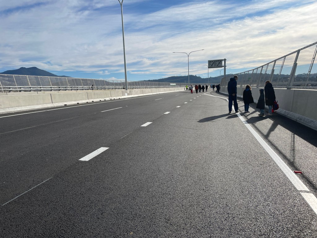
I looked back along the new road towards Hobart.

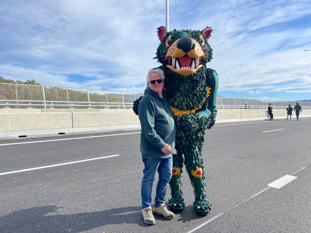
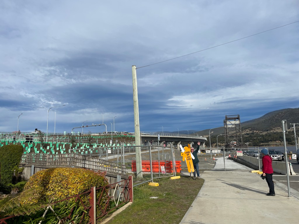
The Tassie Devil was on hand to cuddle strangers.

We marvelled at these expansion constructions in the road.

We also noted the expansion panels on the vertical edges of the mesh bridge enclosures.
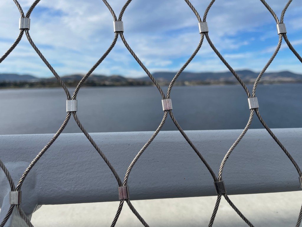
I was surprised the mesh was constructed of flexible wire.

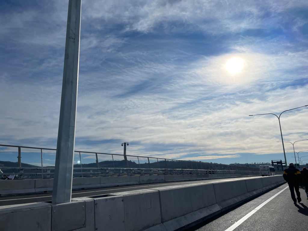
We noted the cameras on a pole.


The structure of the old bridge, originally opened in 1946, loomed over the landscape.
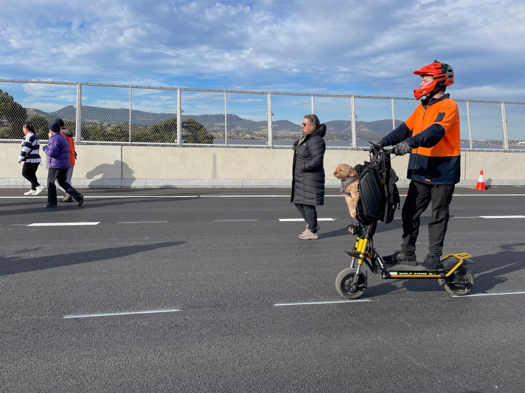
There is always one! Dogs and bikes etc were banned but … this little fellow was cute and he travelled well.

My two fellow walkers posing as site workers!
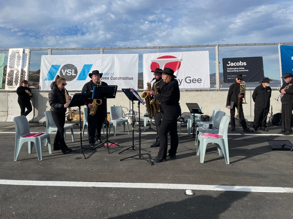

The musicians were at the northern end of the bridge and close to the bus pick up point. Instead of catching the bus at that point, we continued and walked under the bridge and up the other side.


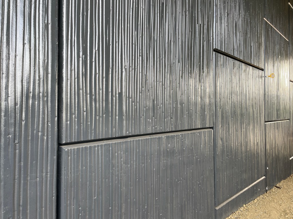
The concrete walls with their shiny paint finish were very impressive – and puzzling. What sort of paint was used?

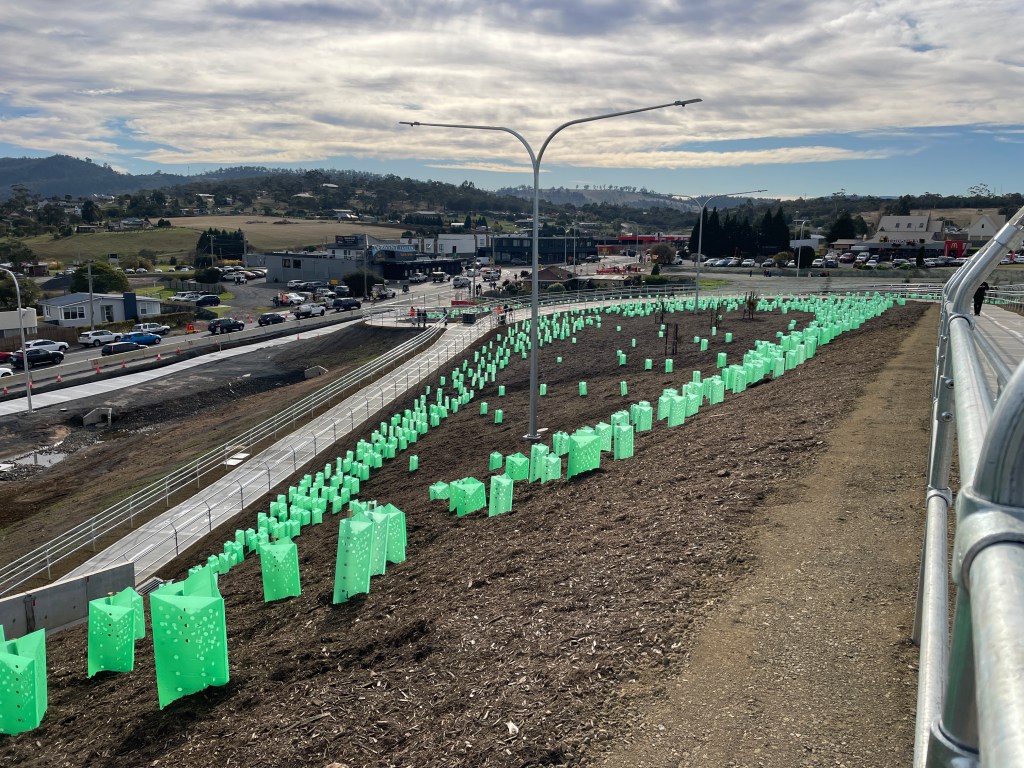
The number of plantings was impressive.
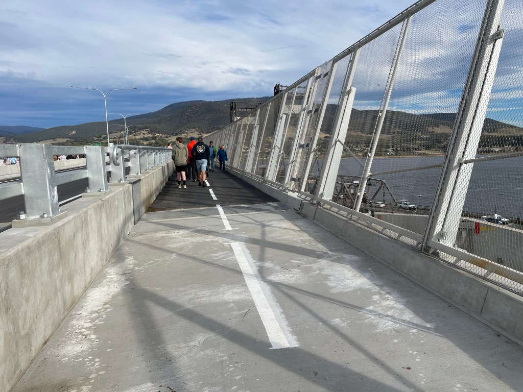
The three metre wide pathway offered adequate space for bikes, walkers and prams etc

The construction of the ‘railing’ which separated the pathway from the road was exceptionally sturdy – suggested excellent protection from road accidents.
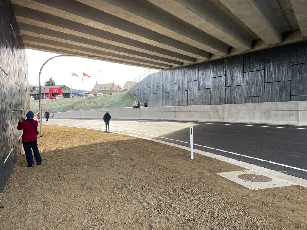
Eventually we bussed back to our parking point.


In the bridge-walk hub a stall displayed the variety of native plants that have been added around the bridge.
This was a once-in-a-lifetime experience; a historic moment. Over a decade ago, when I walked from the mouth to the source of the Derwent River, I walked across the old bridge. It is only right and proper that I walked across the new bridge.
I learnt today that the River Derwent is also known as timtumili minanya in the palawa kani language. At one end of the many feeder roads to the new bridge the aboriginal name is inscribed deeply into the concrete walls.
May everyone who travels across the new Bridgewater Bridge in the future, travel safely!

 How could I have got it so wrong! Thankfully, the error has been drawn to my attention and you can now revisit the blog posts knowing I reached Pierson’s and not Pearson’s Point. The two blog posts that contain the outstanding error are titled:
 I took the photo above at the northern end of Marrawah Beach in north west Tasmania. The rock ahead is part of Mt Cameron West.
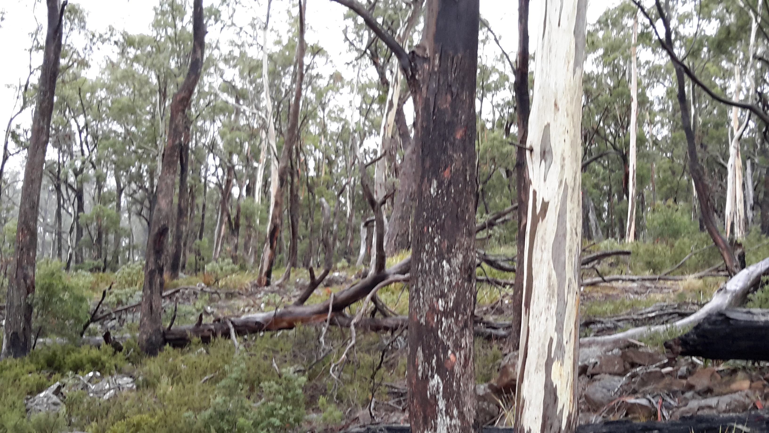
 The photo above shows some of the tall straight trees in the Dismal Swamp/Tasmanian Forest Adventures precinct.
 I loved the drama of these ancient well-worn rocks and tufted grasses on the coast at wind swept West Point, north west Tasmania.