Near the mouth of the Derwent River on its eastern shore, a natural phenomenon has been sparkling at night. Glorious!
See two stories with the most wonderful photographs, and a short video, at:

Near the mouth of the Derwent River on its eastern shore, a natural phenomenon has been sparkling at night. Glorious!
See two stories with the most wonderful photographs, and a short video, at:
A Californian fiction writer M.P. Zarrella offered the opinion ‘nature is cheaper than therapy’. Since then, her point of view has spawned posters, cushion covers, and T shirts such as:
 and
and 
The use of this comment spread until people couldn’t help themselves …
 and
and 
Thinking about whether nature is cheaper (with the inference of ‘better’ than therapy), I have been inspired to trawl through my walking-the-derwent photos.
Here are a few favourite natural scenes clicked during Stages 1-6 of my walks along the eastern shore of the Derwent River. Most of these images spent time as my computer screen background where they lifted my spirits daily.

Iron Pot off the southern end of South Arm peninsula

Driftwood beach shack on Pot Bay Beach, South Arm peninsula
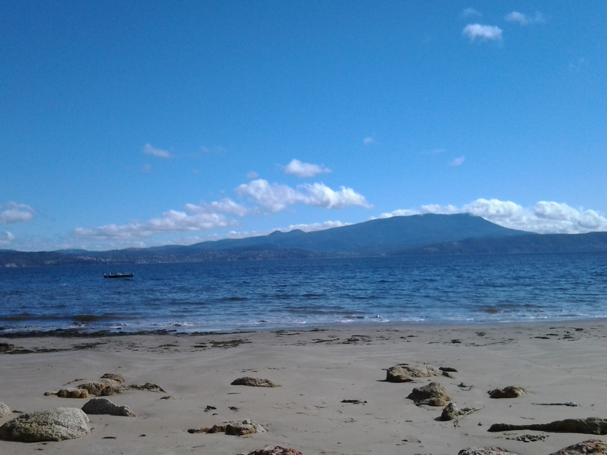
Mount Wellington across the Derwent River from South Arm Beach
Looking northwards into the gigantic Derwent Harbour from Gellibrand Point at the northern end of the South Arm peninsula.
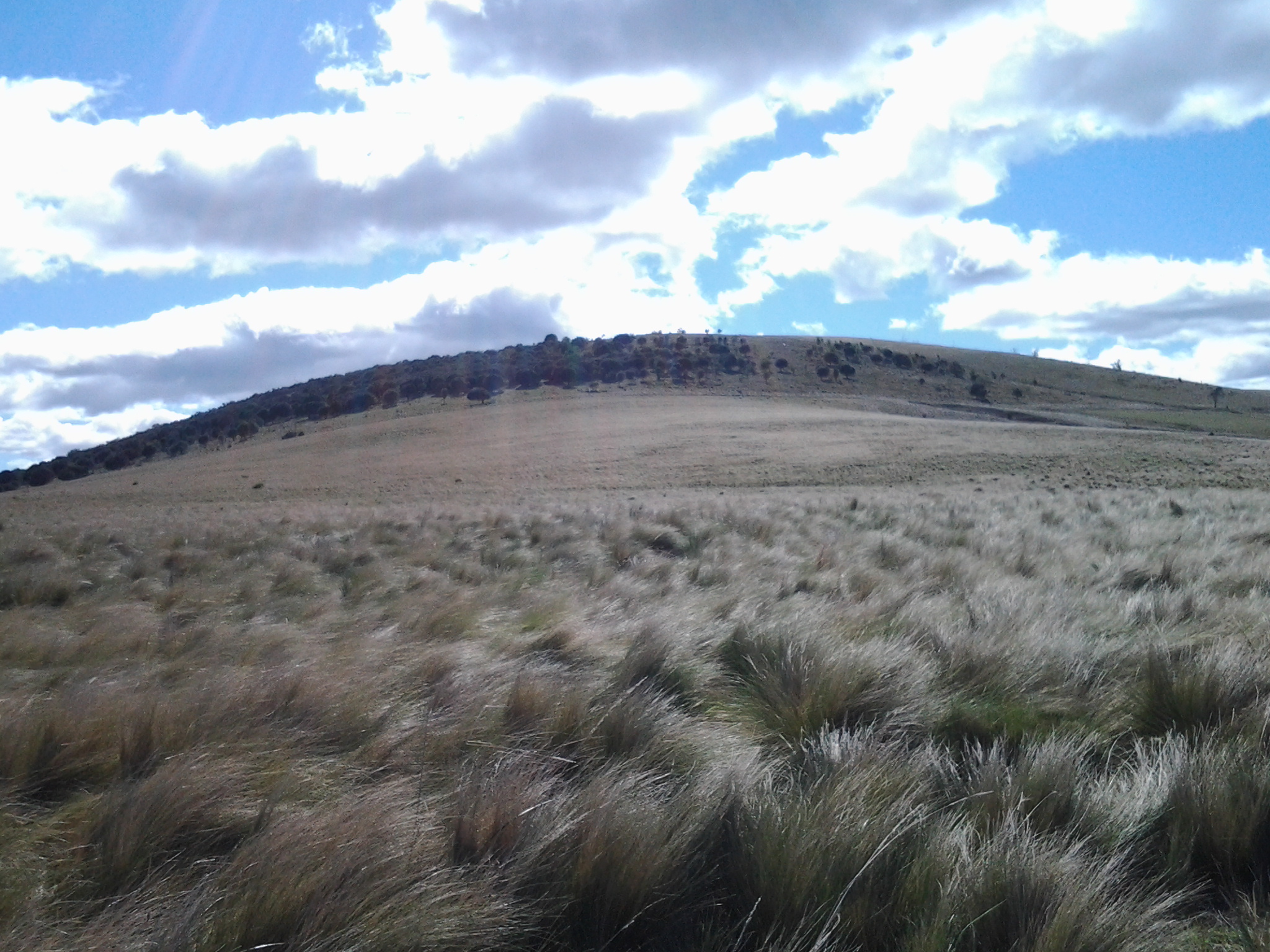
Looking uphill from Trywork Point

Lichen on rocks at Tranmere Point

Little Howrah Beach

Looking southwards along Bellerive Beach

The suburb of Sandy Bay across the Derwent River through the casuarina trees from Rosny Point

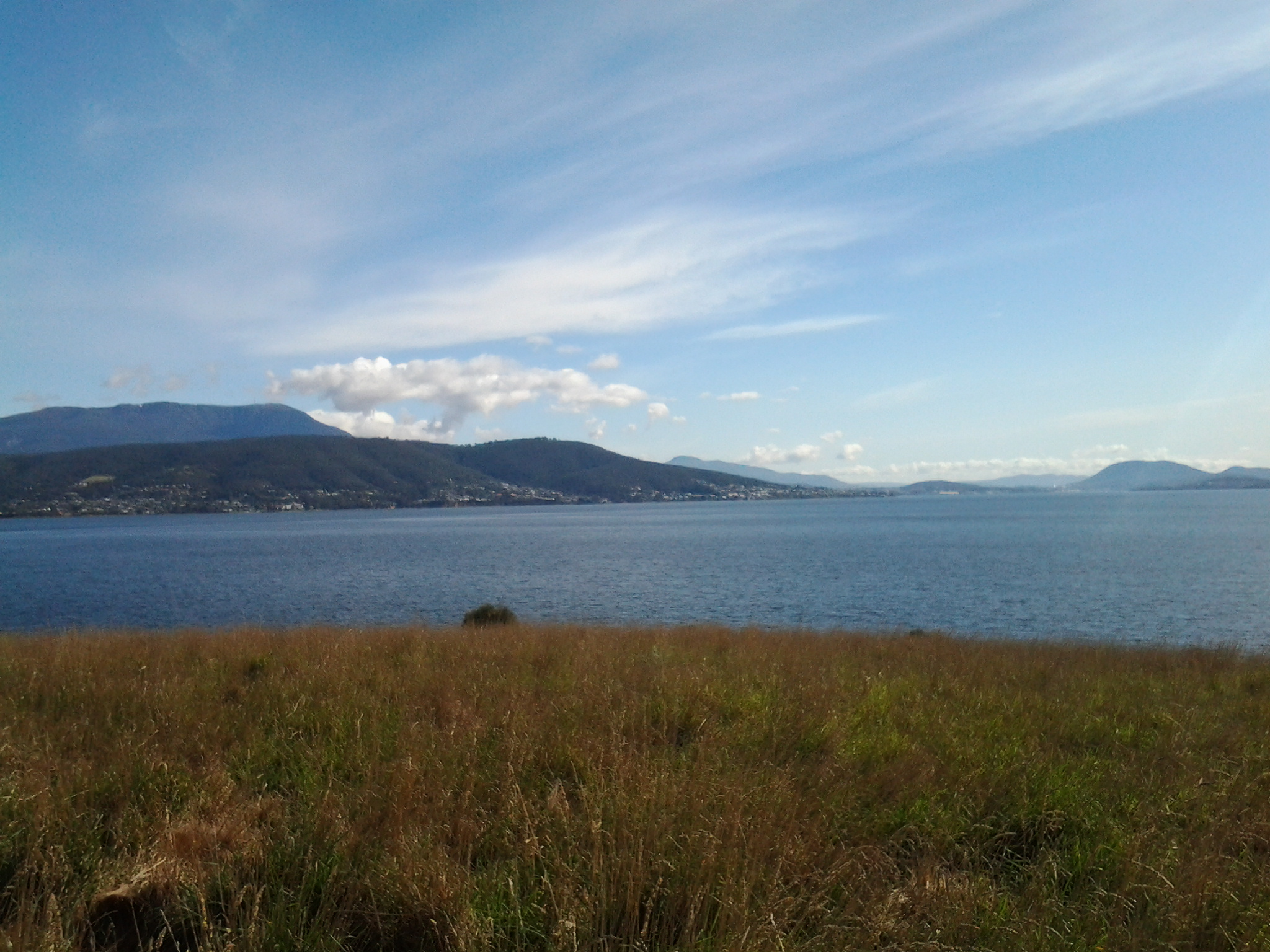
Tranquil Geilston Bay looking toward Mount Wellington

Bedlam Walls Point
Shag Bay

Native flowers in the East Risdon State Reserve
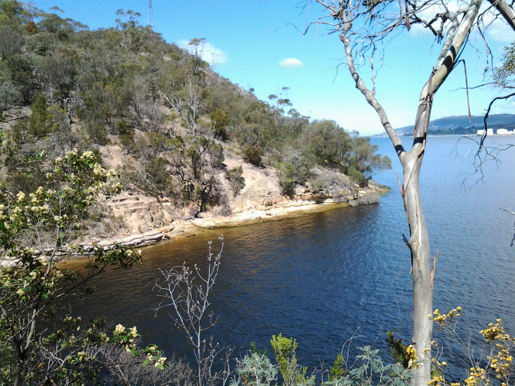
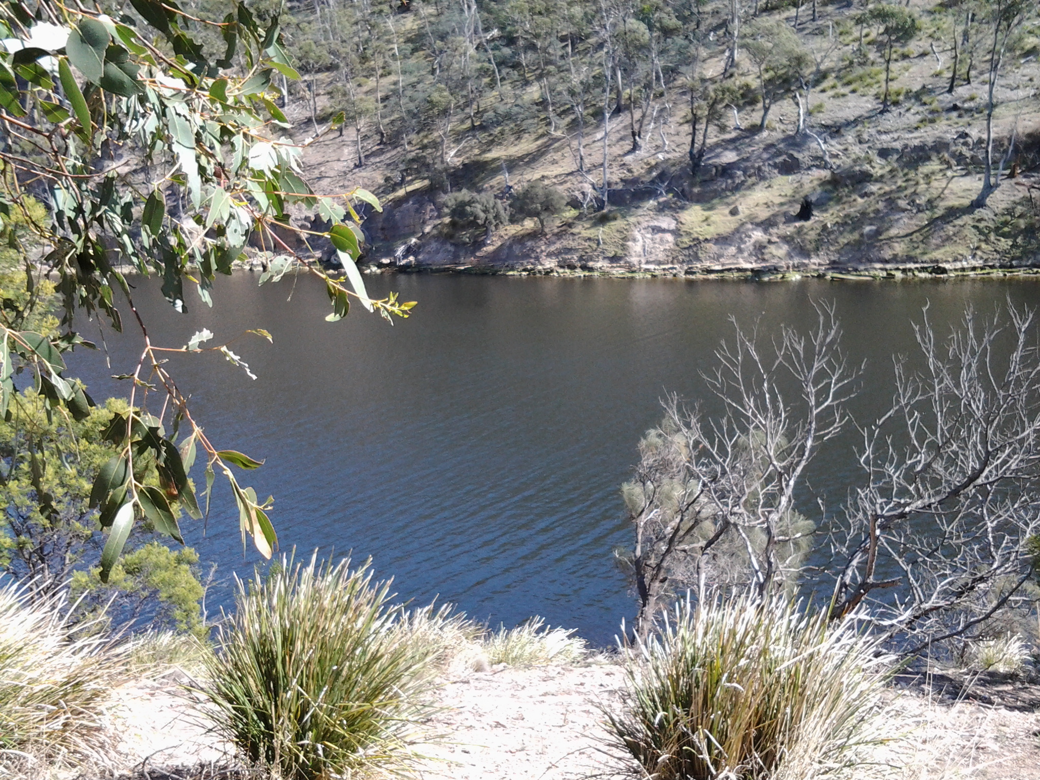
Tommys Bight
Whenever the weather is deteriorating outside my window, by looking at these photographs from the first 6 of 14 walking stages, I ‘revisit’ the various locations and feel most uplifted. No therapy needed here.
The south of Tasmania is crossed by trunk roads, regional freight roads and regional access roads, including six of the highways for walking on when walking from the mouth of the Derwent River to the source.

2. On the eastern shore of the Derwent from Geilston Bay to Bridgewater Bridge it was the East Derwent Highway which felt the plod of my feet occasionally during stages 5 -8 of my walk.
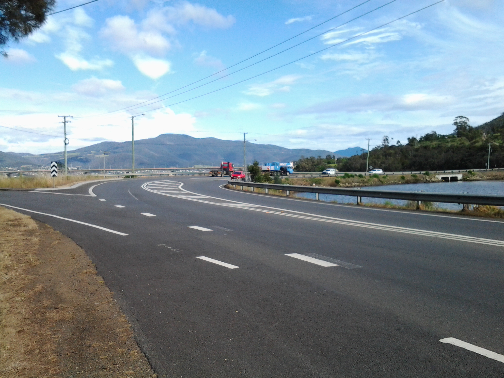


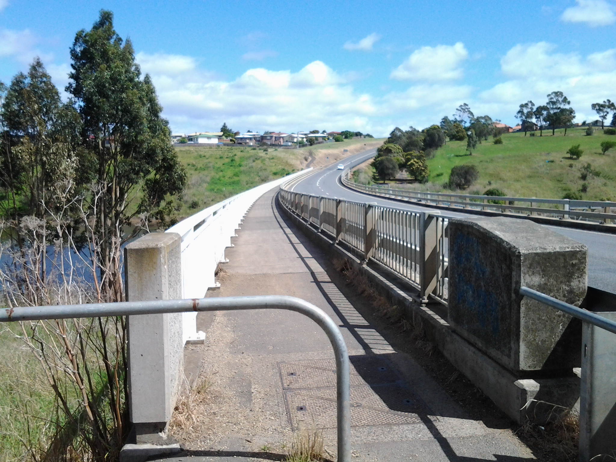
3. Once I reached Bridgewater on Stage 9, the highway crossing the Bridge was the Midland or Midlands Highway (sometimes referred to as the Heritage Highway).
4. Some of Stage 12 of my walk on the western shore towards the mouth of the Derwent River, included a couple of kilometres on the Channel Highway.
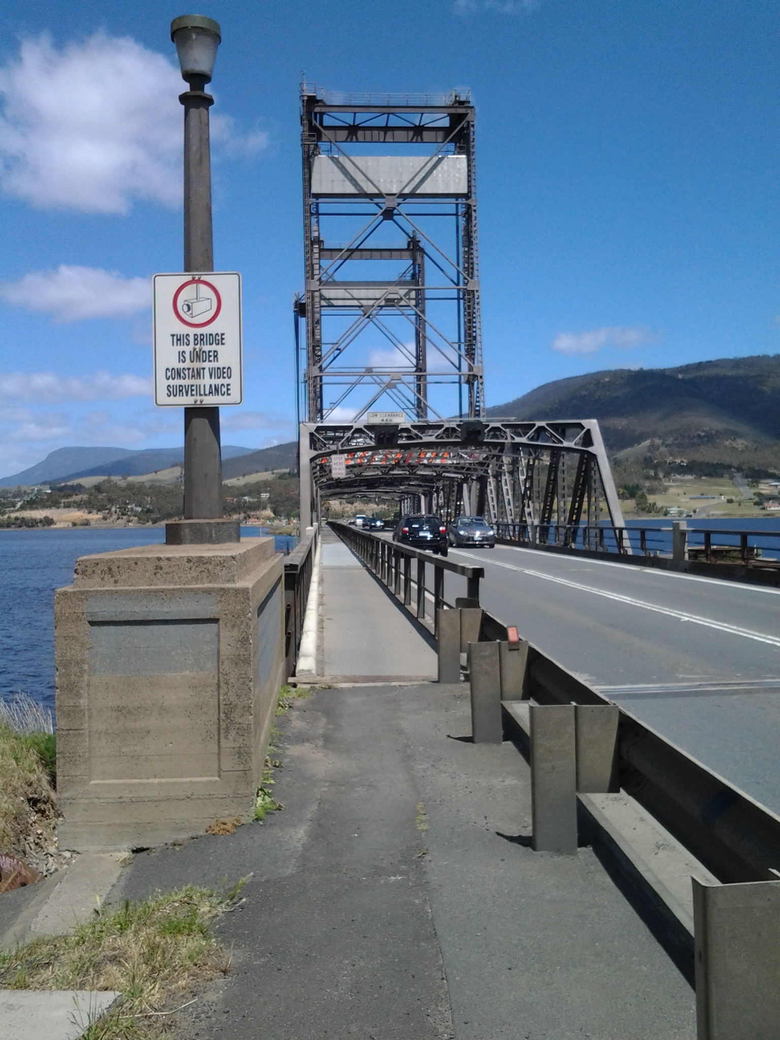
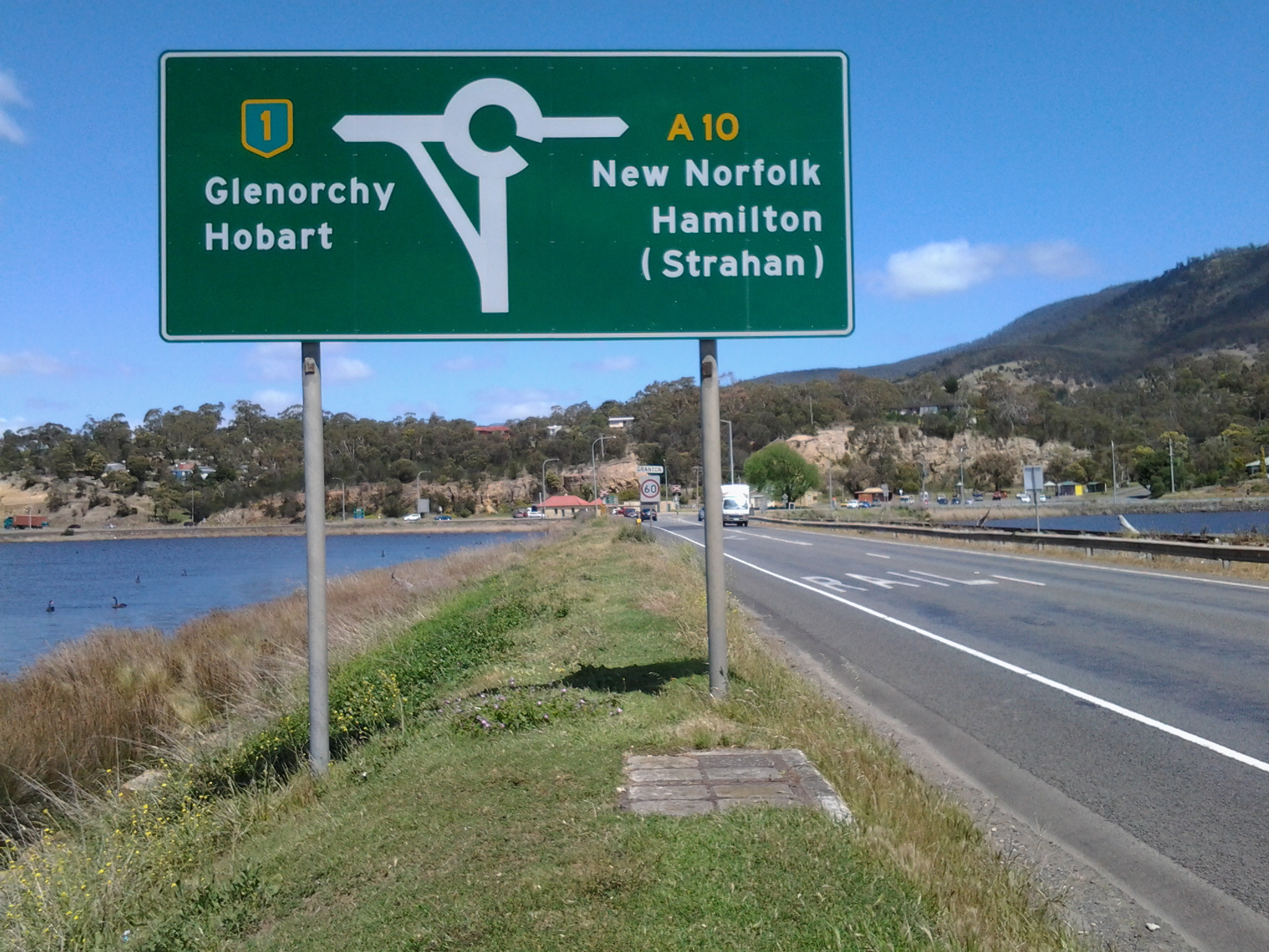
5. At the start of Stage 14 I will walk on the last few metres of the Brooker Highway, the main highway which extends from the centre of Hobart city to the Bridgewater Bridge at Granton. For the first time, at the Bridgewater Bridge, this Highway edges the Derwent River.
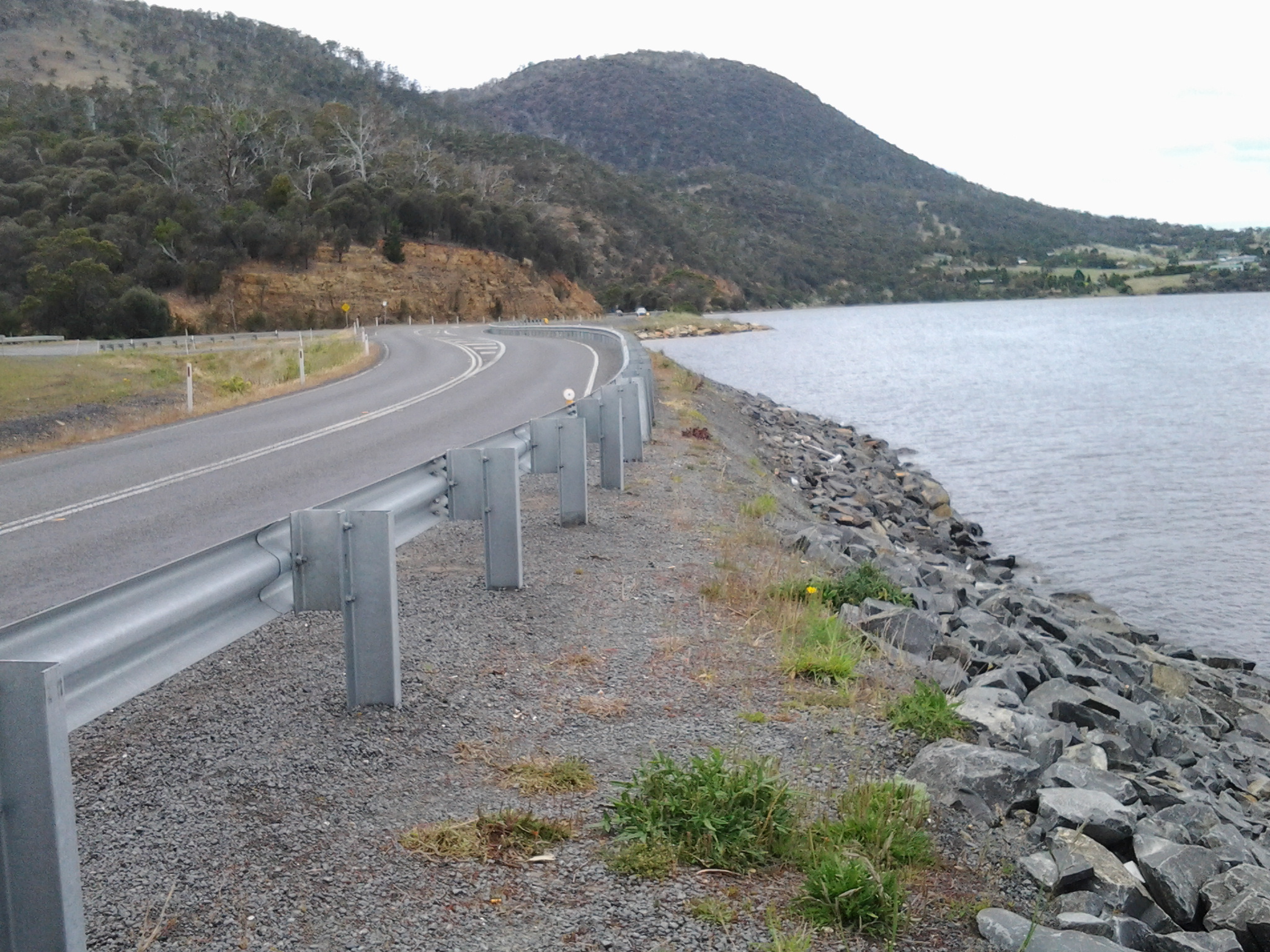
6. Immediately after the highway intersection with the Bridge, the Lyell Highway commences. From Granton until I reach the source, the Derwent River winds closest to the Lyell Highway, the highway which extends west to the town of Queenstown (which is overshadowed by the copper bearing Mount Lyell). This highway will be my life line in terms of accessing public buses.
Continuing Stage 11 of my walk along the Derwent River, I walked the foreshore from Long Beach towards Blinking Billy Point. Looking northwards, the crescent of Long Beach stretched before me.
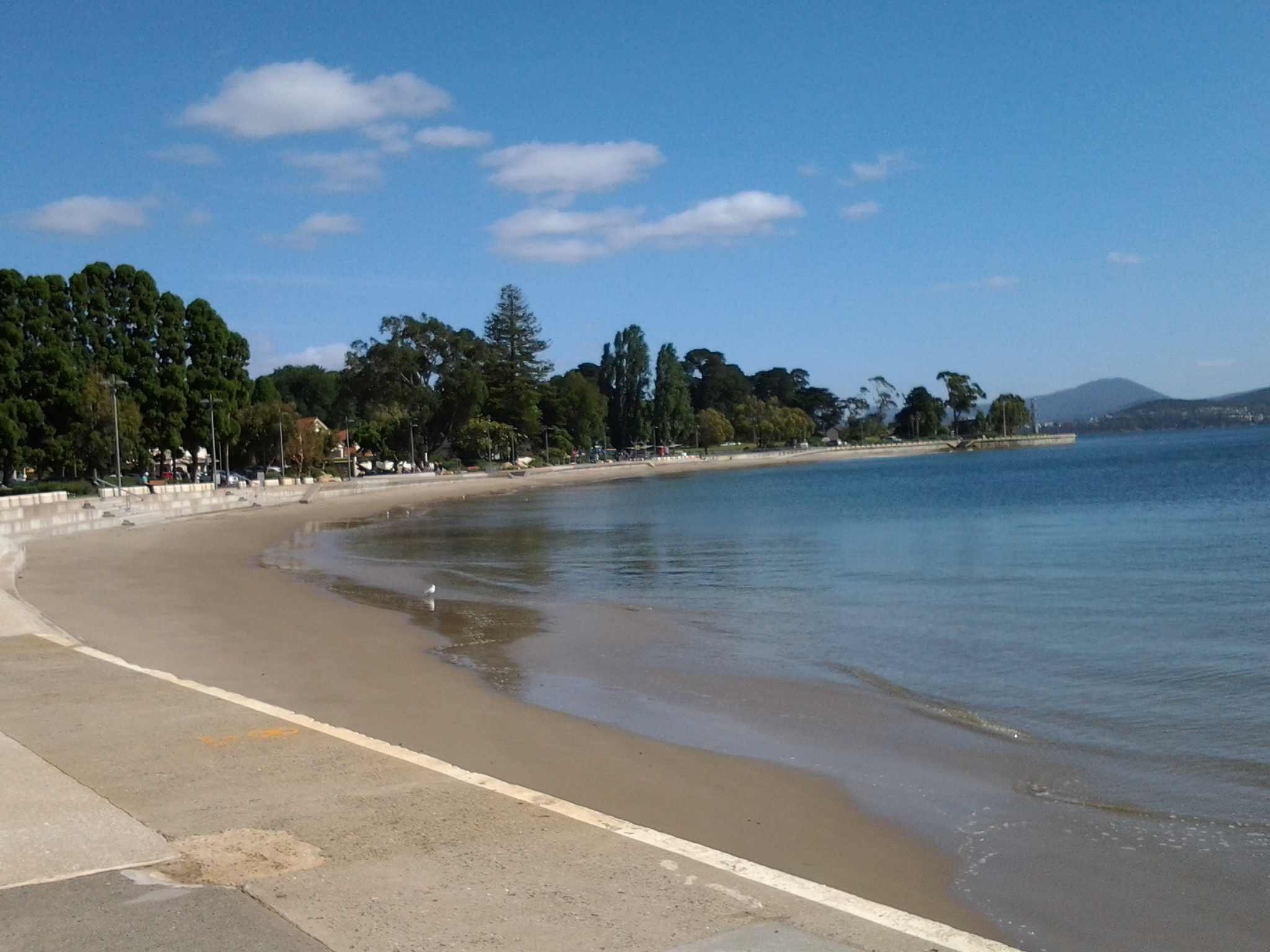
I passed a new set of public toilets around 10am and ten minutes later I was walking around Blinking Billy Point.
This was an area to which Charles Darwin (http://www.biography.com/people/charles-darwin-9266433) walked from Sullivans Cove (my starting point for this Stage of the walk) in February 1836. The area’s local government has remembered the occasion with an information plaque.

Out in the water is a marker for water craft: the John Garrow Light (established in 1953). I have known this was a marker used in the Sydney to Hobart Yacht race but I had never known where it was located. Now I know: almost east of the Blinking Billy old lighthouse. According to http://www.maritimetas.org/sites/all/files/maritime/nautical_news_winter_2002.pdf, John Garrow was a Sandy Bay pastry-cook, who lived in Bath St. Battery Point and died 1924. This begs the question – how did a nautical navigation tool come to be named after someone that seemingly had no connection with the Derwent?
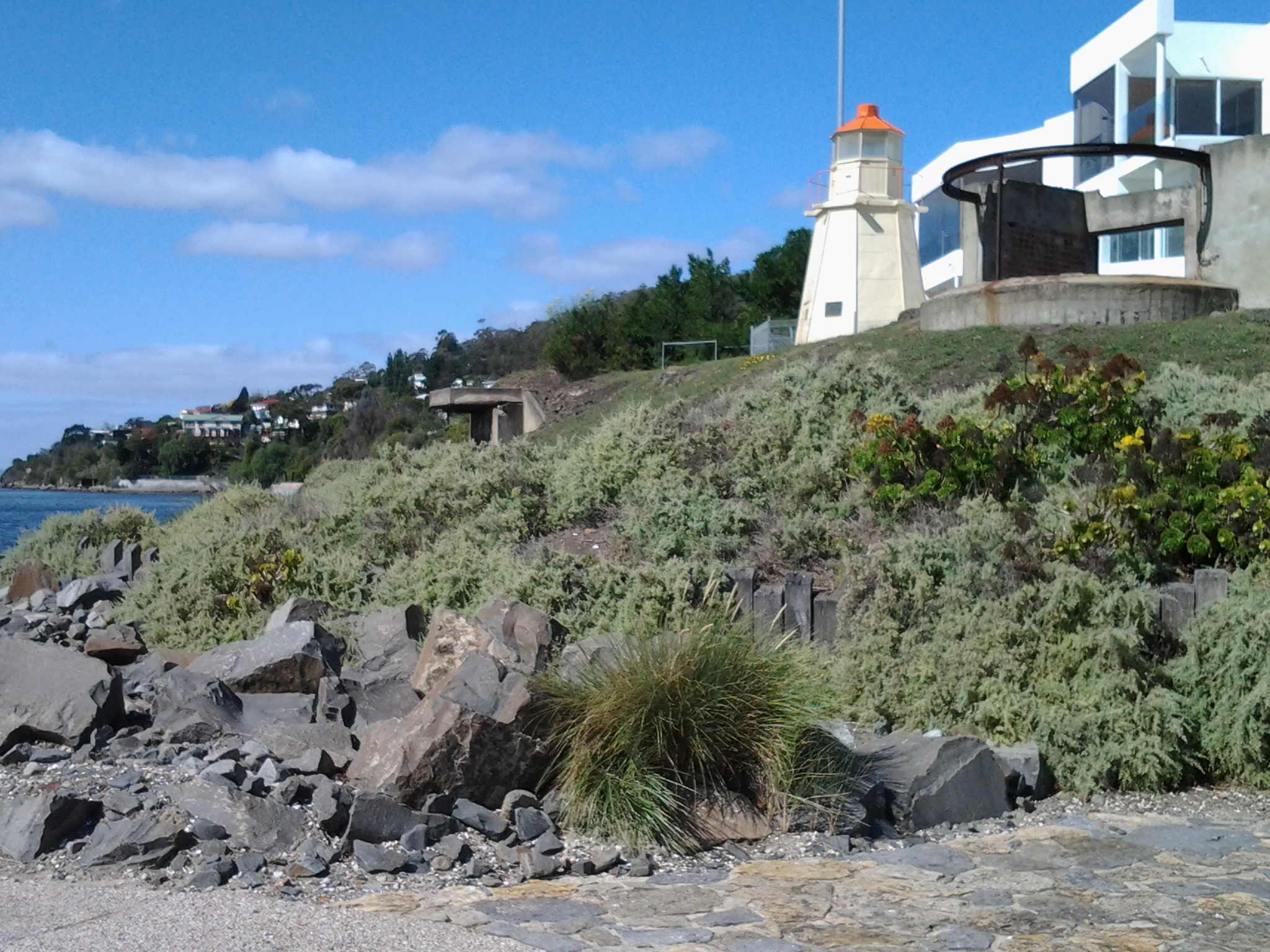
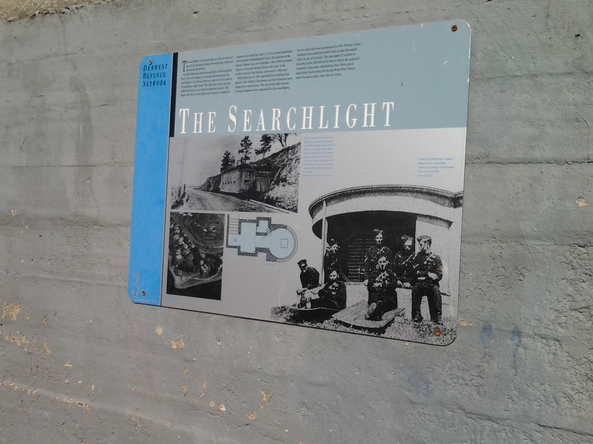
I noticed that the Point has old defence structures embedded in the cliff. I learned that these were an adjunct to the huge hill behind with the remnants of the 19th century Alexandra Battery.
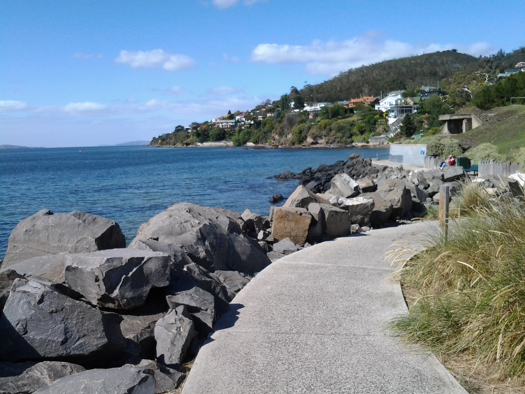

Looking down the Derwent River through the glitter of the distance to the eastern shore, I could pick out Trywork Point (the southernmost tip of land before Ralphs Bay begins) and Gellibrand Point (the northern most point of the South Arm peninsula) both providing the ‘gateposts’ to Ralphs Bay. Previously, I explored these distant Points on Stage 2 and 3 of my walk.

Then I looked back to Long Beach from Blinking Billy Point with Mount Wellington in the distance. How peaceful the world seemed.

Despite the promises of a short beach in Geography Bay after the Blinking Billy Point, I knew better than to have expectations that continuing my walk on the foreshore was possible. The Sandy Bay Foreshore Track finishes at Blinking Billy Point.
Some years ago a friend and I tried to walk the rocky shore southwards from Blinking Billy Point but, as the tide came in, there came a moment when we couldn’t move forward or backwards. I remembered we scrambled up through someone’s property; the people were not at home and we let ourselves out onto the street hoping no alarm systems would be alerted. We were lucky that day.
Based on that memory, I knew it was not worth proceeding any further and retraced my steps around Blinking Billy Point until I could walk up to Sandy Bay Road.
Visiting Turkey, Italy, Morocco and Hungary
Hotels in Launceston to 1900
The ribbon that separates the eastern and western shores of Hobart, Tasmania's capital city
The ribbon that separates the eastern and western shores of Hobart, Tasmania's capital city
Beautiful wilderness locations and more
Keeping track of our adventures.
Travel and Photography
The ribbon that separates the eastern and western shores of Hobart, Tasmania's capital city
From Hobart to Hobart via four continents
Nature + Health
Solo hiking is an amazing challenge. Let's go... and keep going!
Sharing Inspiration from the Wild
My soul explores where my mind wanders...
A Hundred Years from Philadelphia to New Hampshire
Following her writing dreams
Ariadne's Clew - the Ship's bLog: sailing Tasmania with the Stoneman family
My life's aspirations, inspirations and a little bit about running :)
We are about to embark on great change, we are moving to Tasmania.
Our everyday adventures
