Tag Archives: 19th century

Where will I find authentic and reliable information about Tasmania’s aborigines prior to 1803?

This question has been asked because I am not concerned with researching European settlement or its impact on Tasmania’s indigenous population.

It seems that three categories of information sources might be used for my study:

  1. the written/printed word,
  2. material anthropology, and
  3. oral histories. Such histories might exist in association with the continuance of authentic movements such as dance and sound making.

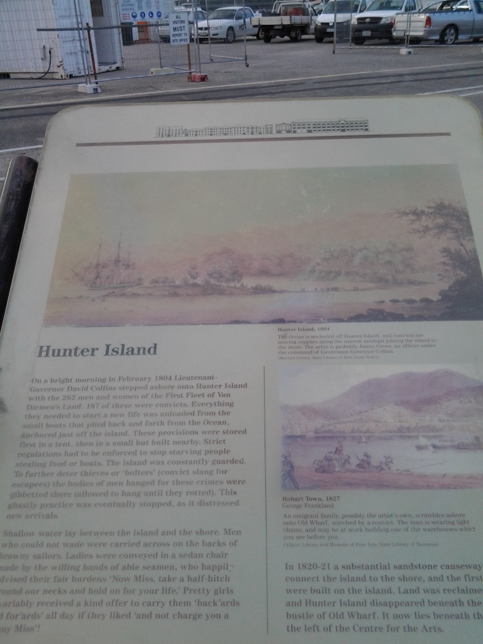
As stated in an earlier post, the original settlers in Van Diemen’s Land, the descendants of non-indigenous peoples, and other non-indigenous people have left historical written/printed documentation. In addition, exploring visitors to this island before European settlement made written records. Each of these writers will have their own perspective, and so my challenge will be to remember what they write is not necessarily a fact. This means I will need supporting and corroborating evidence of other kinds; material artefacts and/or oral histories.  I do not expect to find any early 19th century documentation written by Tasmanian aborigines – but I would be very excited to read such records if I should find them.

James Joyce, in his essay “Fantasy Island” (Manne, 2003, Whitewash Black Inc. Agenda, Melbourne) refuted the evidence of Keith Windshuttle’s book (2002, Fabrication of Aboriginal History: Volume One, Van Diemen’s Land 1803-1847 Macleay Press, Sydney) when he declared ‘Windshuttle can impose his contemporary conclusions on Van Diemen’s Land history only by limiting the selection of sources …’.  Joyce’s position reminds me to stay focused and to explore broadly.

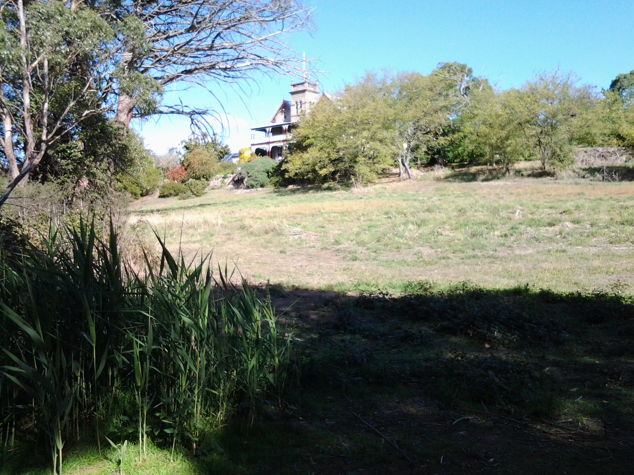
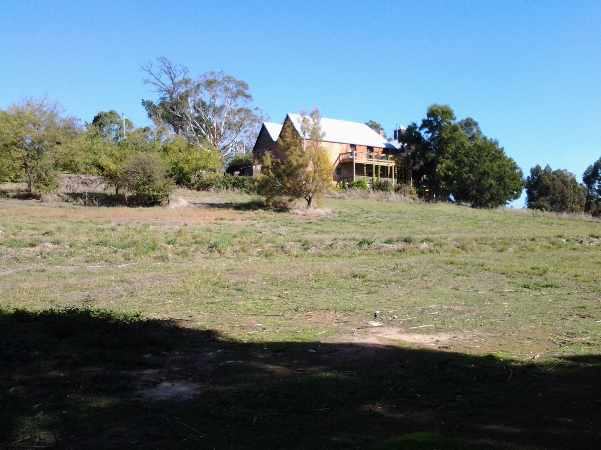
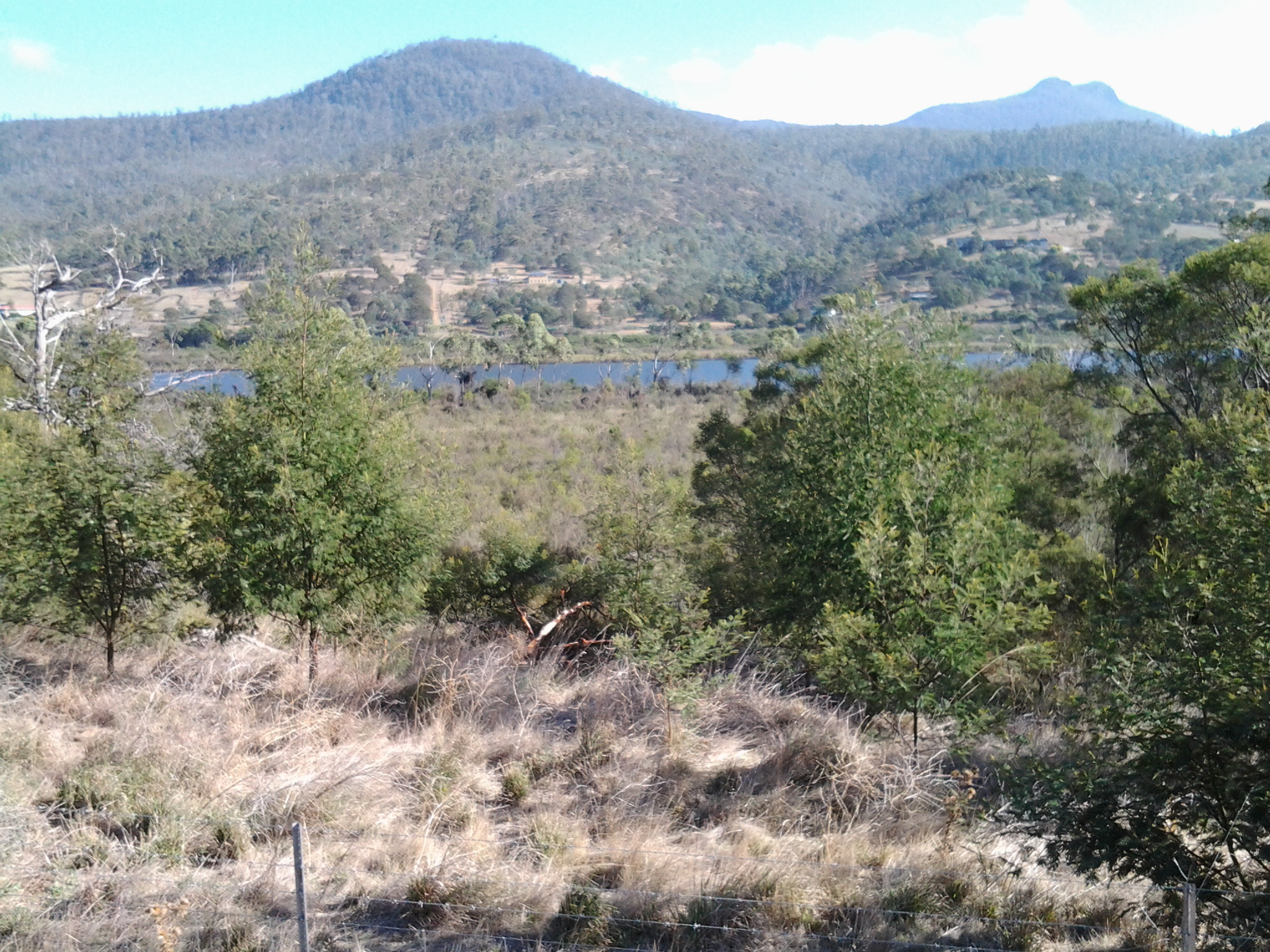
At the moment, I have started working through a mountain of freely available reference material seeking clues as to what I might need to follow up with careful research.  As yet, I have found very little that pertains to the Derwent River. These are early days during which I will come to an understanding of the limitations and challenges of my project.

Tynwald Estate buildings came into view when I walked Stage 14 along the Derwent River

Twenty minutes later after leaving the boat ramp, I spotted what seemed to be the ruins of a 19th century building and more recent structures.

20150413_132254 20150413_132520

These are located at the end of Tynwald Street, a road which comes off the Lyell Highway. I suspect one of these buildings is the remains of an 1820 granary that formed part of the estate of Tynwald House (http://www.tynwaldtasmania.com/history/).  I continued downhill along the track until I was at river level again.  A little further along,when I looked up through the trees, I could see the stately and elaborate Tynwald House, built in the 1830s and now operating as an accommodation and restaurant facility.  Trip Advisor contains more information http://www.tripadvisor.com.au/Hotel_Review-g504312-d1045373-Reviews-Tynwald_Willow_Bend_Estate-New_Norfolk_Tasmania.html

20150413_132835 20150413_132938

Further along I could see the remains of Tynwald estate’s Oast House (a building designed for kilning  or drying hops as part of the beer brewing process), now a Museum.

20150413_132941 20150413_133109

The landscape was stunningly beautiful along this walk.

Around Windy Point on Stage 14 of my walk along the Derwent River

Despite having driven and been driven along this patch of the Lyell Highway many times, its shape and character were not well known to me. I guess I have always looked out at the Derwent River and more or less disregarded the land.

The area jutting into the River, causing it to curve from a north west to western orientation, has been labelled Windy Point. I reached the start of this about 8.20 and it was another 15 minutes of walking before I reached its western end. There was some wind and when blowing my dribbling nose, the icy breeze flattened my handkerchief across my face. I sought visual distractions against the cold. A magnificent old gum tree amidst a range of exotic plants was a grand surprise.

20150413_081138

On one hill to my left were half a dozen dappled sheep with twins on their teats.  Sometimes their heads were black or brown but most fascinating was the dinner plate sized brown woollen shapes across their otherwise beige woollen bodies. I was too cold to take a photo of this sight.

In parts, the flowing river was a distance from the road.  Between the highway and the clear water, marshy water plants grew profusely, and access to the River was impossible.  The photo below looks across the Derwent River to Mt Dromedary in the distance and Mt Terra in the left  foreground.

20150413_095018

During my walk around Windy Point, at 8.30am I passed the road turn-off leading to Stefano Lubiana wines and noted there was a Derwent Valley Link bus stop on the highway – which, if you are a tourist without transport, would allow you easy access to the winery and the odd glass or two of some special liquid. I didn’t stop and visit – drinking at such an early hour didn’t seem like a good idea.

20150413_082819

Ten minutes later at 8.40am I was passing the road turn-off to the Derwent Estate Wines.

20150413_083657

I was surprised as I passed the estate to see what seems like late 19th century buildings nestled into the hill.  While the website explains: ‘the historic Mt Nassau property has been in the current owner’s family since 1913, I can find no information about these buildings which appear to be an earlier architectural style.  More research required.

20150413_084136

Opposite, in the River and its edging long grasses, white faced herons, coots, ducks and black swans were at home.

20150413_082210 20150413_082826

The day was offering truly magical sights aided by the intense blue of the sky and the water.

Starting off for Hunter St Hobart on last Monday’s Stage 11 of the walk along the Derwent River

Despite having a severe dislike of getting out of bed early, I always try and ‘get on the road’ as early as possible for my walks in case the weather changes for the worse during the day – the earlyish starts give me all the chances in the world to walk as far as I can. It was no different last Monday. I left home not long after 6.30am (yes I know many of you would still have been snoring) and bussed into Hobart. I walked down to the intersection with the major thoroughfare at Davey St and Evans St near the wharf area. Looking around, notable landmarks for locals surrounded me.

The chimney of the beautiful 19th century sandstone Gasworks now reinvented into a HOGS restaurant and a bottle shop, sits on one corner.

20150119_071455

A warehouse-like building for Tas Ports on another corner.

20150119_071434

The apartment block for residents and tourists known as Zero Davey on another.

20150119_071441 20150119_071510

The concert hall of the Tasmanian Symphony Orchestra at one end of the Grand Chancellor Hotel on the other.

20150119_071542

By 7.15am I had walked to the intersection of Hunter St with Davey St. There are a considerable number of information boards along this street providing lots of information about the history of the area. This was the area where the first European settlers started the colony after giving up on Risdon Cove on the eastern shore of the River.

20150119_071708 20150119_071713 20150119_072250

One side of the street is lined with buildings many of which were built in the 19th century.

20150119_071801 20150119_072104 20150119_072334

The other side of the street has the wharf space which is normally used by fishing boats: for example, the crayfish/lobster boats. Look at how silken soft the water is. Wonderfully colourful.

20150119_071815 20150119_071829

I left Hunter St at 7.25am at the intersection with the Franklin Wharf street that extends parallel to the waters of the Derwent River. If you were to walk along Hunter St and not be note taking and clicking photographs, it would take you a maximum of two minutes to walk.  But if you want to stop and look and read then allow longer.