Tag Archives: Hunter St

Walking along the wharves of Sullivans Cove, Hobart

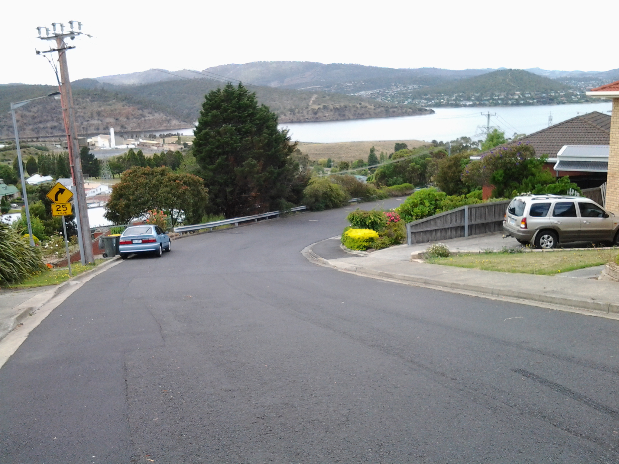
On Stage 11, after walking along Hunter St, I turned right to walk along the Franklin Wharf street, and had the Derwent River on my left and an enclosure for fishing and other vessels to my right. The morning was fresh, the sun was shining and it was all together delightful. Not many people around. The mountain, clearly visible, looked down on the centre of Hobart and over the wharves. Clouds were reflected serenely in the water.

20150119_072745 20150119_072147

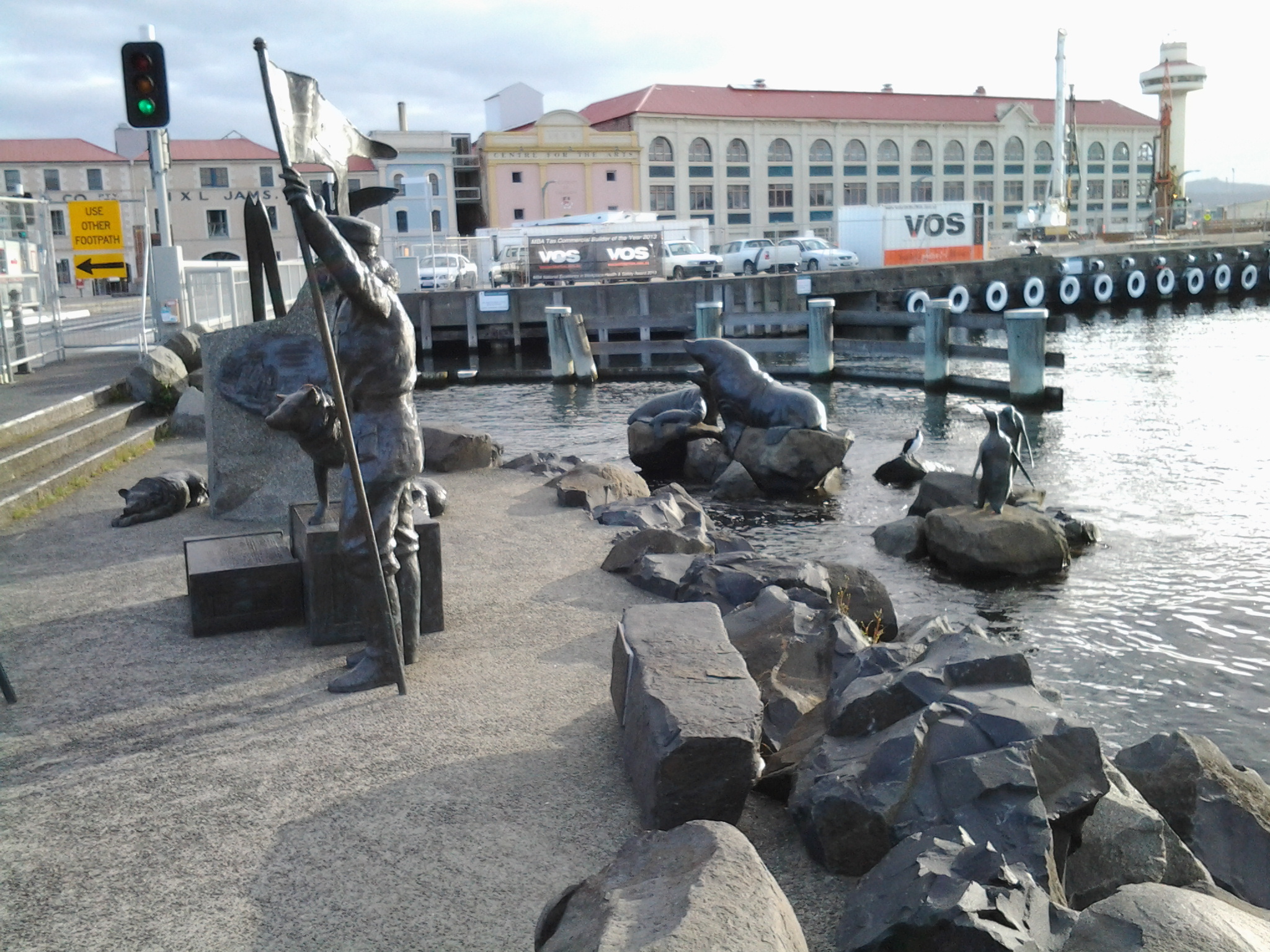
A family of bronze sculptures, perched life-like on rocks on the River side, is much loved by visitors.

20150119_072515 20150119_072503

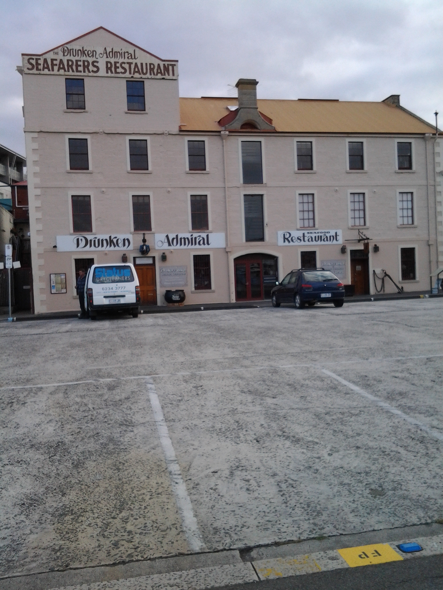
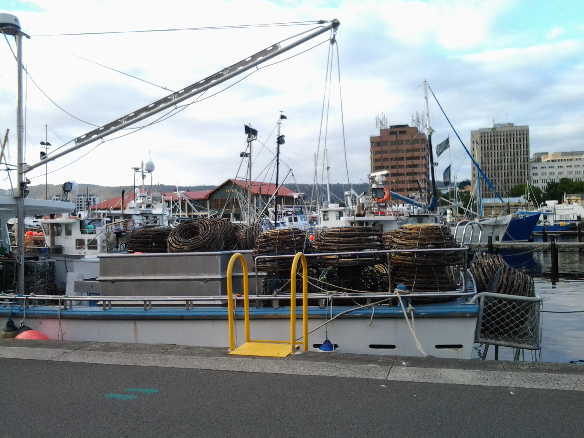
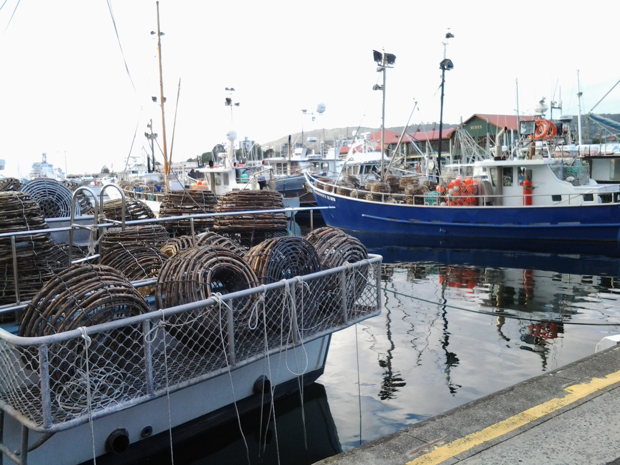
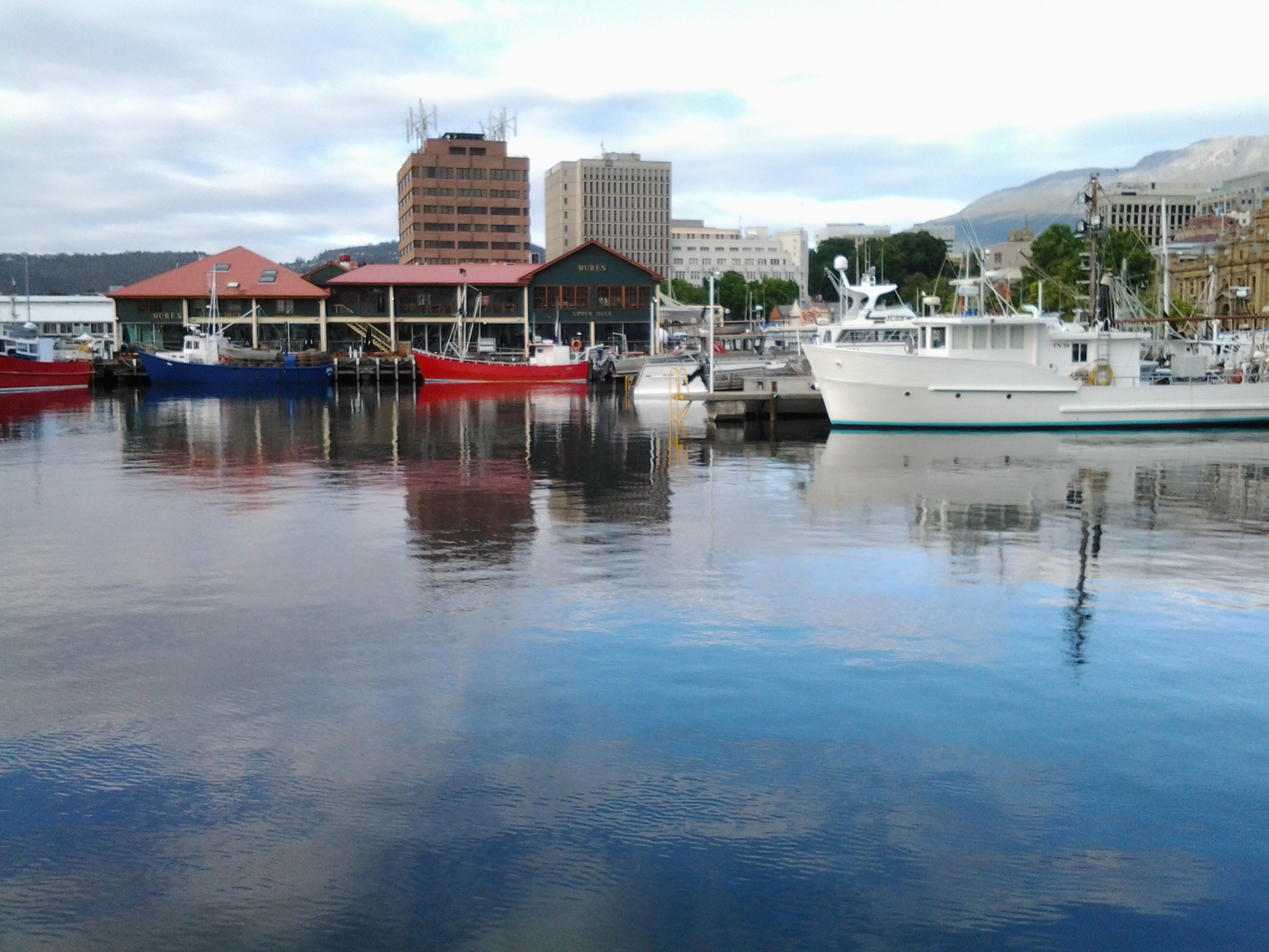
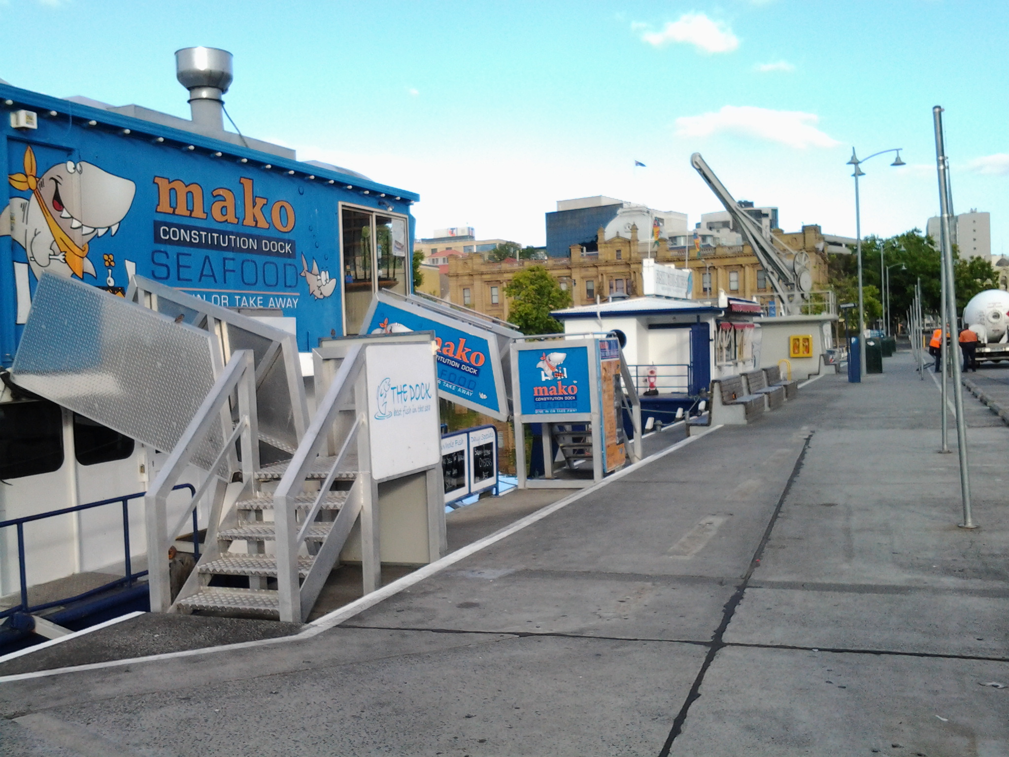
Passing Mures fish restaurant on my right, I continued on until I could see the row of floating fish shops selling fresh and cooked fish and other seafood.

20150119_072706 20150119_072651

A minute later, I was standing on the celebration platform used when the Sydney to Hobart Yacht race boats arrive. I looked across to Elizabeth Pier which contains accommodation, conference facilities and a number of eateries (where sitting outside is such a pleasure).  In the photo below the ‘tall-ship’ replica Lady Nelson sits outside the T42 restaurant.

20150119_072901

Opposite Elizabeth St pier, a number of buildings of different architectural styles and vintages line part of the street. Continuing to the other side of the Elizabeth St pier, a second tall ship, the Windward Bound offers sailing trips.

20150119_073148 20150119_073111

On the next pier after the one in the photo above, a couple of the contemporary camouflaged MONA ferries sat either side within the slightly mobile surface of beautiful glassy water.  Taking a trip on these ferries down the Derwent to and from MONA (Museum of New and Old Art) located in the suburb of Berriedale (I walked through that on recent Stages) helps you to see parts of Hobart you would not normally see, and it gives you a perspective on the distances over which the Greater Hobart Area sprawls. It is interesting to reflect on the two extremes of water vessel technology, when you look at the 19th century sailing ship close by a state-of-the-art catamaran.

20150119_073231

These starting sections of my Stage 11 were colourful and tranquil. It’s a free, easy, stroll along the waterfront and there is much to see looking out onto the side of the Derwent River. The next posting on this blog will look at landmarks on the non-River side of the streets.

Starting off for Hunter St Hobart on last Monday’s Stage 11 of the walk along the Derwent River

Despite having a severe dislike of getting out of bed early, I always try and ‘get on the road’ as early as possible for my walks in case the weather changes for the worse during the day – the earlyish starts give me all the chances in the world to walk as far as I can. It was no different last Monday. I left home not long after 6.30am (yes I know many of you would still have been snoring) and bussed into Hobart. I walked down to the intersection with the major thoroughfare at Davey St and Evans St near the wharf area. Looking around, notable landmarks for locals surrounded me.

The chimney of the beautiful 19th century sandstone Gasworks now reinvented into a HOGS restaurant and a bottle shop, sits on one corner.

20150119_071455

A warehouse-like building for Tas Ports on another corner.

20150119_071434

The apartment block for residents and tourists known as Zero Davey on another.

20150119_071441 20150119_071510

The concert hall of the Tasmanian Symphony Orchestra at one end of the Grand Chancellor Hotel on the other.

20150119_071542

By 7.15am I had walked to the intersection of Hunter St with Davey St. There are a considerable number of information boards along this street providing lots of information about the history of the area. This was the area where the first European settlers started the colony after giving up on Risdon Cove on the eastern shore of the River.

20150119_071708 20150119_071713 20150119_072250

One side of the street is lined with buildings many of which were built in the 19th century.

20150119_071801 20150119_072104 20150119_072334

The other side of the street has the wharf space which is normally used by fishing boats: for example, the crayfish/lobster boats. Look at how silken soft the water is. Wonderfully colourful.

20150119_071815 20150119_071829

I left Hunter St at 7.25am at the intersection with the Franklin Wharf street that extends parallel to the waters of the Derwent River. If you were to walk along Hunter St and not be note taking and clicking photographs, it would take you a maximum of two minutes to walk.  But if you want to stop and look and read then allow longer.

Yesterday I walked Stage 11 from Hunter St in Hobart city to Hinsby Beach south of Taroona

The goal of my walk along the Derwent River for Stage 11 was to start at my last stopping point, Hunter St at the wharf in Hobart on the western shore of the Derwent River, and continue to Kingston in the local government area of Kingborough.  But I did not get that far.  My feet said enough was enough once I found the delightful and almost hidden Hinsby Beach.

20150119_131327

Over future posts, I will write up the stories of the walk, what I saw and what I experienced, but for now it’s enough to say that I am continuing with this massive project to walk both sides of the Derwent between the mouth and Bridgewater, and then onwards to Lake St Clair.

The day was sunny with a bright blue sky, Mount Wellington was clear, and a cool breeze featured through much of the day – making it perfect walking weather.

Yesterday I covered 8 kilometres of the length of the Derwent River on the western shore (making 30 kms in total on the western shore), and walked approximately 13kilometres (making a total of 143 kms to date) to achieve that distance. This distance also takes in the streets and paths on which I walked that led to dead ends so that I needed to retrace my footsteps.

The highlights of the walk include discovering the road next to Taroona High School is a public access route which took me down to the Derwent River to a row of colourful boathouses, getting off the main road at places like Cartwright Park Reserve, and seeing the Alum Cliffs in all their majesty.  My next walk will start along the top of these.

20150119_125317

It was a revelation to watch the eastern shore and to see the suburbs and beaches on which I walked in the early stages of my walk. The day started with my being roughly opposite Bellerive and finished with my being opposite Gellibrand Point at the northern tip of South Arm.  The photo below, taken from Hinsby Beach, looks across the Derwent River to Opossum Bay Beach.

20150119_131757

I intend my next walk will start from Hinsby Beach and continue to Blackmans Bay.  But before then I need to record the details of yesterday’s walk.  So my walk for Stage 12 could be a week or more away.

Hobart’s Regatta Grounds and Cenotaph; missing Macquarie Point but reaching Hobart’s Sullivans Cove.

Leaving the navy depot on the edge of the Derwent River, I realised the distance to Hunter St and the beginning of Sullivans Cove in Hobart was not far.  That seemed like a perfect finishing destination for Stage 10 of my walk along the Derwent River, so onwards I plodded.

The ex-navy depot sits immediately next to the Regatta Grounds so I reached the Regatta Stand, set up for the annual audiences, very quickly – by 4.10pm.

20150109_160021

Hobart’s Regatta has a long history.  According to http://www.soldierswalk.org.au/walk_domain.html , “The Hobart Regatta is the nation’s second oldest and commenced in 1838 and has been staged every year since, bar two. A grandstand was built in 1877 and replaced by the John Colvin Stand in 1919-20.”  History and photos (including some of Queen Elizabeth visiting) can be seen at http://www.royalhobartregatta.com/History.html.

The day had become bleak and windswept. The area was empty of people and movement. Nevertheless, I continued walking along the dismal disused railway line and passed empty wood chopping competition blocks.

20150109_161232 20150109_161747

Eventually I was stopped from walking to Macquarie Point on the Derwent River by a high fence with locked gates.  I did my best to continue walking around and as far as I could. But it was useless to think I could get much closer to the Point.  It simply was not accessible to walkers like me.

20150109_161339

I clambered up a weedy section and eventually climbed over a lower fence until I was standing on the lower grounds of the Cenotaph, a monument commemorating the men and women who have died in various wars. This is a significant site in Hobart on our nationally celebrated ANZAC Day each April 25th. As I began to leave, the time was 4.18pm.

20150109_161810 20150109_162043 20150109_162225 20150109_162155

I walked around the Cenotaph,

20150109_162351

down an avenue onto the Highway opposite the Aquatic Centre, then turned left and continued until I reached the Grand Chancellor Hotel, which sits opposite the end of Hunter St, at 4.38pm.  A bus stop was nearby and within moments I was on a bus travelling back to the eastern shore to my home in Bellerive.  I felt like I was glowing from the achievement of having covered so much territory and history during this Stage 10 of my walk along the Derwent River. It had been a marvellous day!

Yesterday I completed Stage 10 of my sequential walk along the Derwent River

The goal for Stage 10 was to start at my last stopping point, MONA in the middle of Berriedale on the western shore of the Derwent River, and continue to Lutana the last suburb of the City of Glenorchy before the City of Hobart starts. But I went further.  Much further.  Almost much further than my feet could take me.  I walked to Hobart.

Over future posts I will write up the stories of the walk, what I saw and what I experienced, but for now it’s enough to say that I am continuing with this massive project to walk both sides of the Derwent between the mouth and Bridgewater, and then onwards to Lake St Clair. Once I get walking it is always so addictive.  Even when my feet feel crippled, I say to myself … ‘go just a little bit further. What else will I be able to see with fresh eyes?’

The day was gloomy with a cloudy sky, and Mount Wellington had veils of clouds covering at least part of its prominence most of the day. But it didn’t rain and so was perfect for walking.  However, the weather ensured the photographs were without sunshine.

Yesterday I covered 12 kilometres of the length of the Derwent River on the western shore (making 22 kms in total on the western shore), and walked approximately 19 kilometres (making a total of 130 kms to date) to achieve that distance. This distance also takes in the streets and paths on which I walked that led to dead ends so that I needed to retrace my footsteps.

Of the many highlights of the walk, I saw the building that once started life as Rosetta Cottage, and powerful Clydesdale horses with their large hairy feet.

20150109_162649

I surprised a friend still in pyjamas when I went visiting for the first time in my walks. The hot cups of tea were most welcome.

I am always excited when I walk the striped edged boardwalks of GASP (Glenorchy Arts and Sculpture Park) or pass the boatsheds of Cornelian Bay and it was no different yesterday.  See the photos below for a taste of the colour.

20150109_084404  20150109_145335

I very much enjoyed looking at the eastern shore where I had walked during past stages and seeing the landscape from a different perspective.  I felt it made the Greater Hobart Area seem undeveloped in a way which is quite amazing for a capital city. For example, Bedlam Walls on the eastern shore from the western shore of the Derwent River, in the photo below.

20150109_123940

From comments I have received, I know my walks are inspiring others to think about what they might do. Even if you choose not to walk, perhaps you can set yourself other challenges.

My next walk will start at Hunter St at Sullivans Cove on the wharf in Hobart and probably extend to Kingston.  But before then I need to record the details of yesterday’s walk.