
Many websites provide information about the very old suburb of Battery Point; for example, read http://www.batterypoint.net/; http://en.wikipedia.org/wiki/Battery_Point,_Tasmania; or http://www.hobartcity.com.au/community/arts_and_culture/public_art/battery_point
I walked as close to the Derwent River as I could and therefore did not wind around the cute streets with their changing architecture, and I was not on the hunt for historical landmarks within the suburb. A morning’s meander through the streets can be very instructive but a walk close to the foreshore also has its attractions. Besides, every street in Battery Point is interesting.
Having left Salamanca and the Castray Esplanade, I walked to the River and along a pathway. When I reached the A J White Park I looked around and absorbed some of the contemporary sculptural forms which were sited there.


At 7.55am I turned up and away from the water because continuing access around the few rocks jutting out of the water was not possible. At 7.58am I turned left at Clarke Ave and at 8.03am I turned left at Marine Terrace.
A few minutes later, as I approached Derwent Lane which led to a dead-end down at the water (with previous knowledge I decided it was not worth the effort of walking down and then straight back up) a woman stopped and questioned me. ‘What are you writing?’ she wanted to know. Her body frame relaxed when I explained my project. I didn’t need to be told that the issue of public access to the foreshore is a very sore and contested point in this suburb as homeowners are feeling increased pressure to agree to a boardwalk being built in front of their very expensive and private homes – residents believe they purchased sole and permanent access to the high tide mark. Undoubtedly the woman was wondering whether I had been commissioned to do another survey or some other work without community consultation.
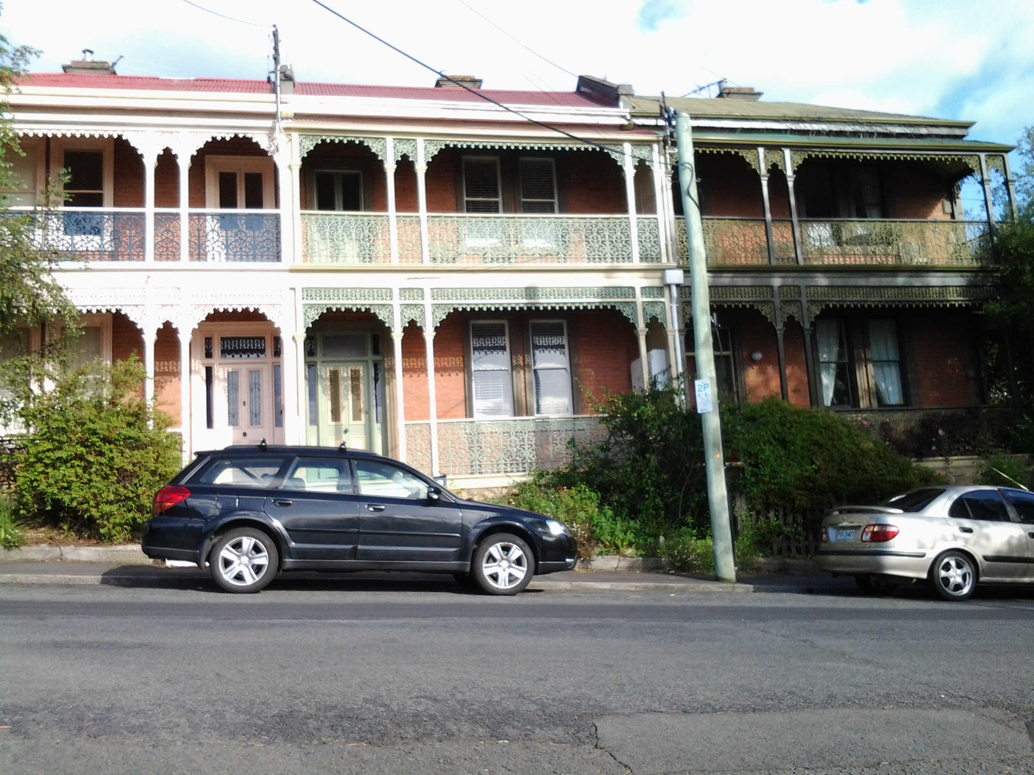
If you are following in my footsteps, then the path southwards continues by walking along Napoleon Street. Either side of the road I enjoyed the spectacle of exceptional houses of many vintages and styles.


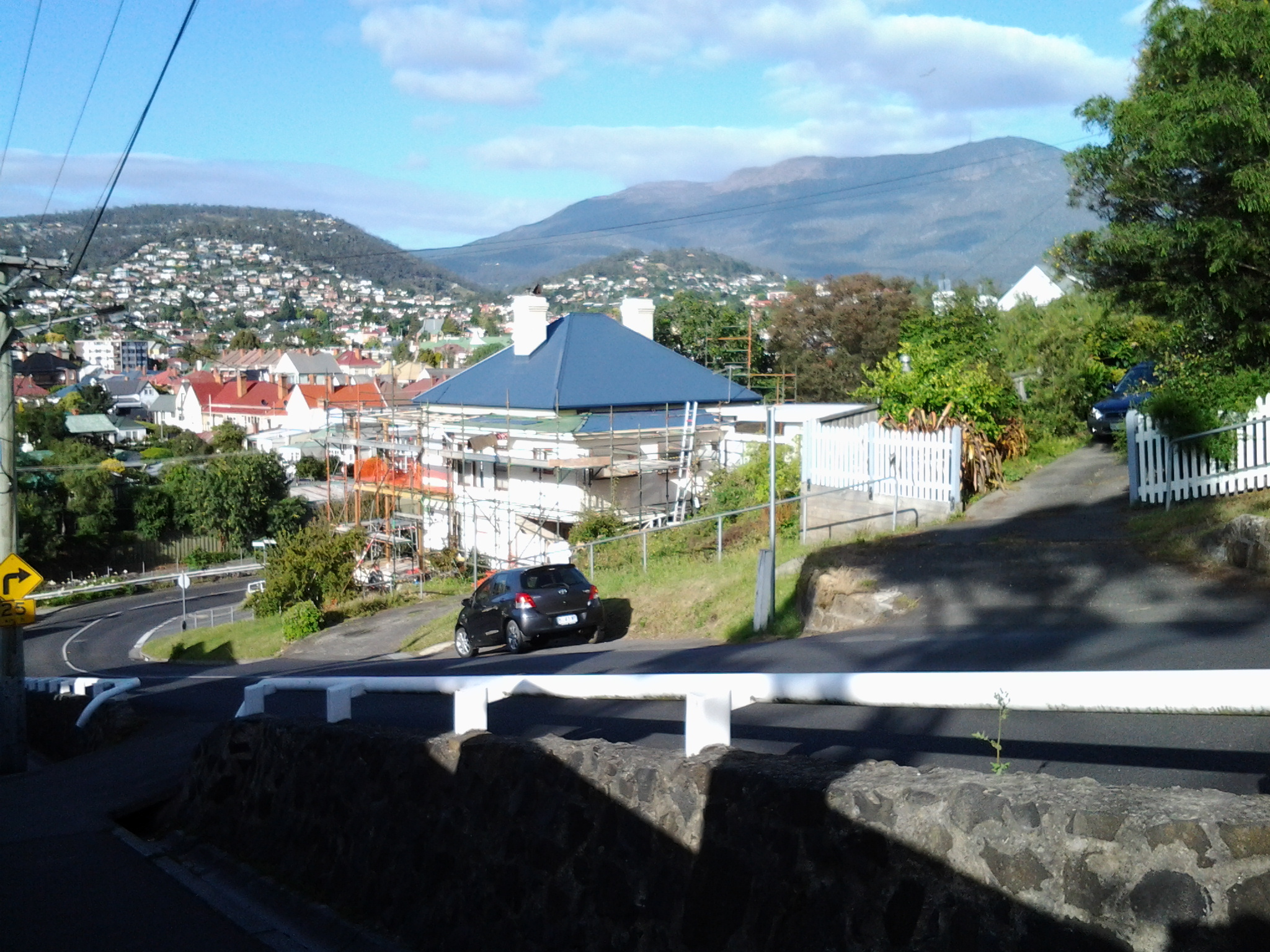
Eventually I stepped down an extremely steep part of Napoleon Street and could see Mount Wellington to my right and Mount Nelson to my left with great clarity.

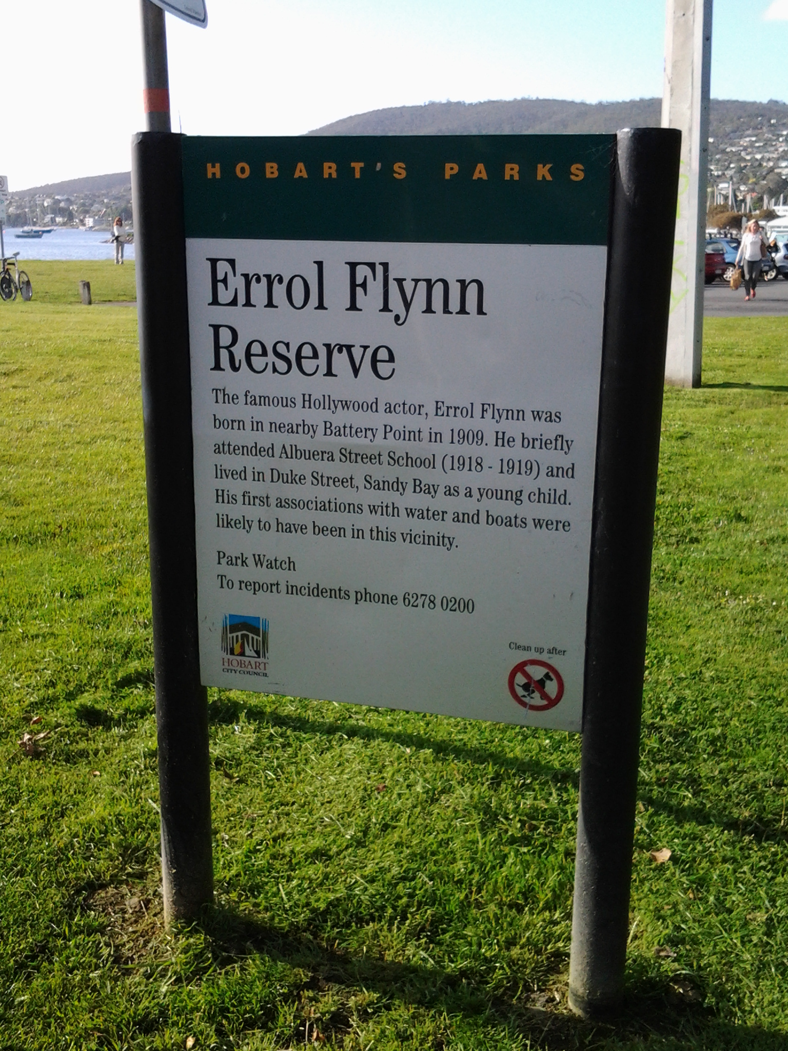
At the bottom of the street I crossed the Sandy Bay Rivulet and arrived at the Errol Flynn Reserve.
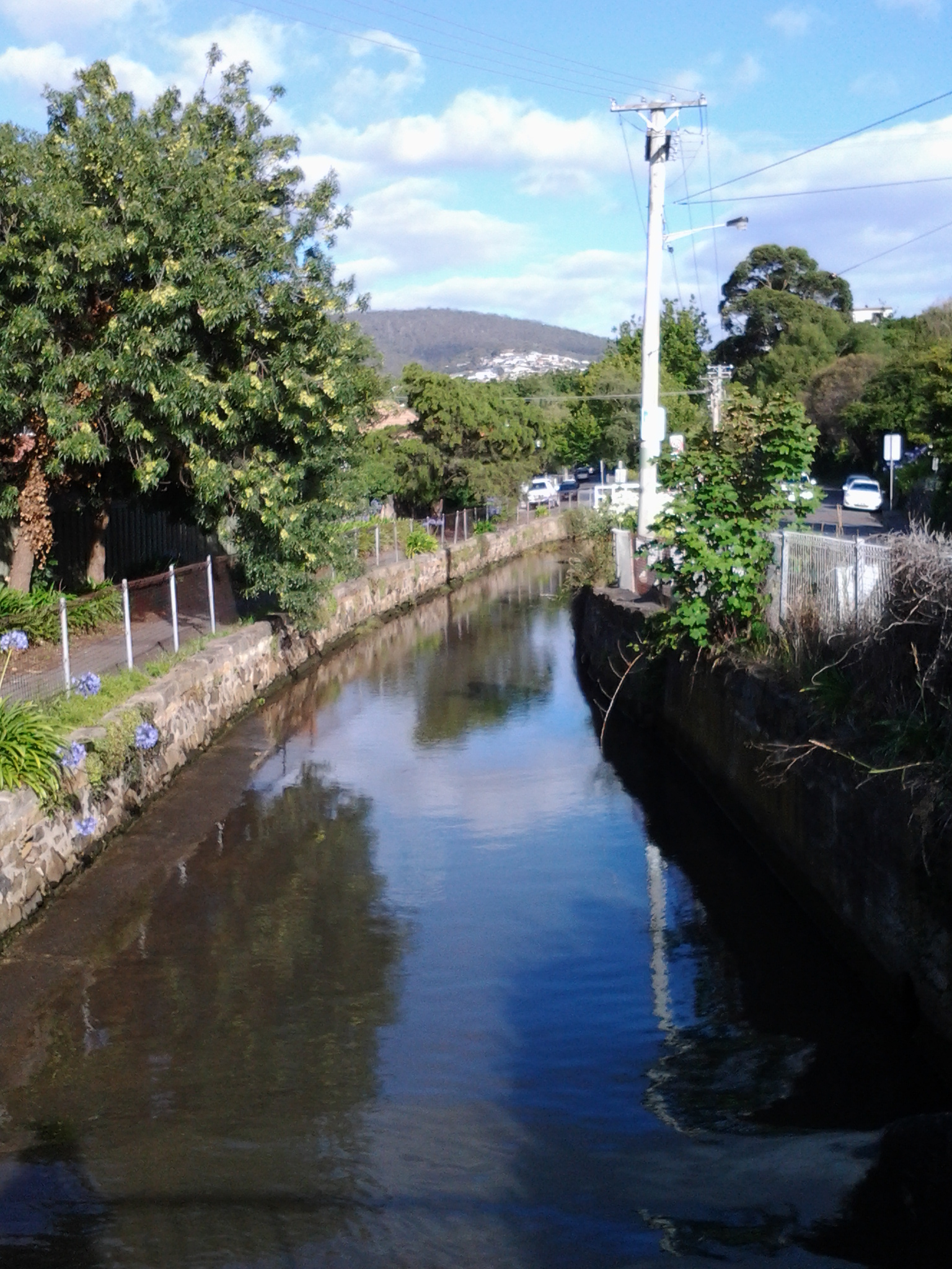
The Rivulet runs out into Short Beach which edges the Derwent River at this point.

I had left the suburb of Battery Point and arrived in the suburb of Sandy Bay and it was only 8.15am.
