Tag Archives: South Arm peninsula

Nudging into Blackmans Bay on Stage 12 of my walk along the Derwent River

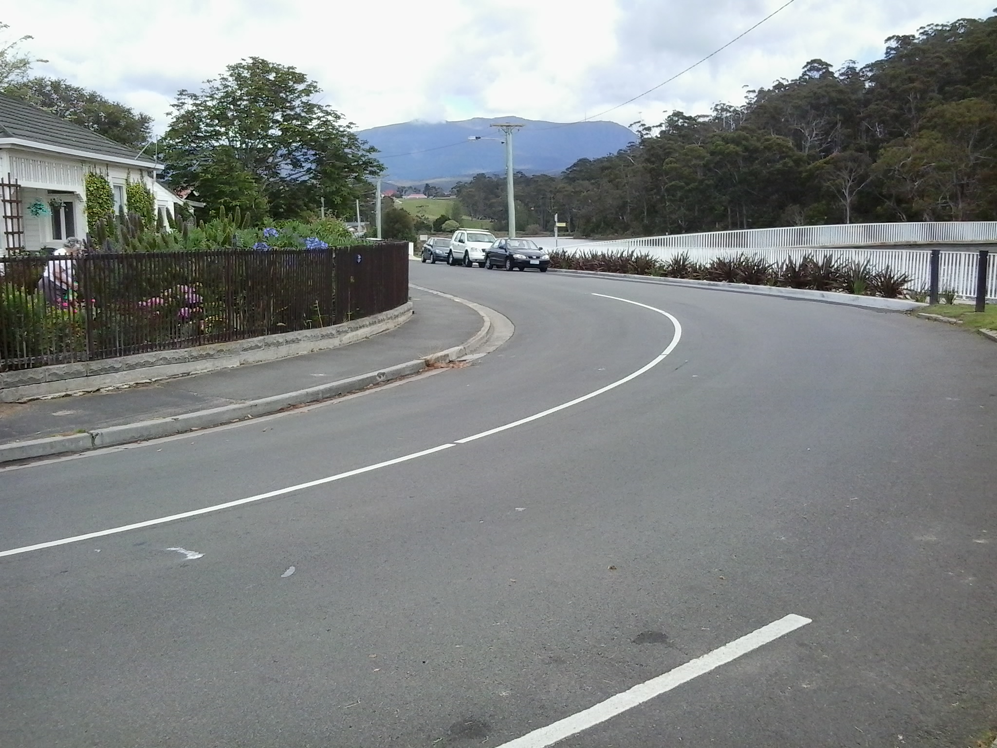
At 3pm I turned left onto Roslyn Ave having walked up from Boronia Beach. Within 10 minutes I could see Blackmans Bay Beach.

20150202_150926

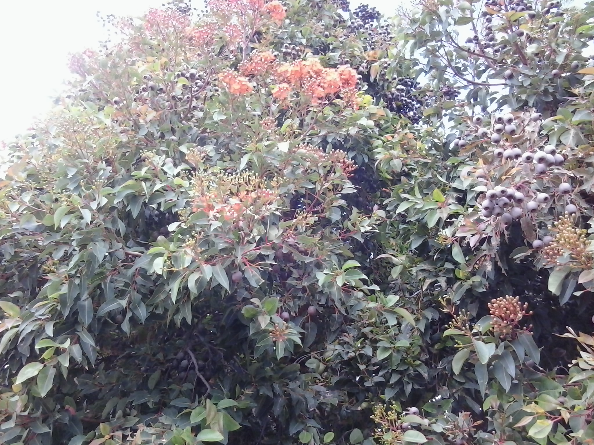
Five minutes later I turned left at Blowhole Road in search of a Blowhole. The road was narrow with no pathway and limited edges on which to walk.  Wattle trees were blooming and I passed an apple orchard laden with red globes. Flowering gums are spectacular at the moment.

20150202_150406

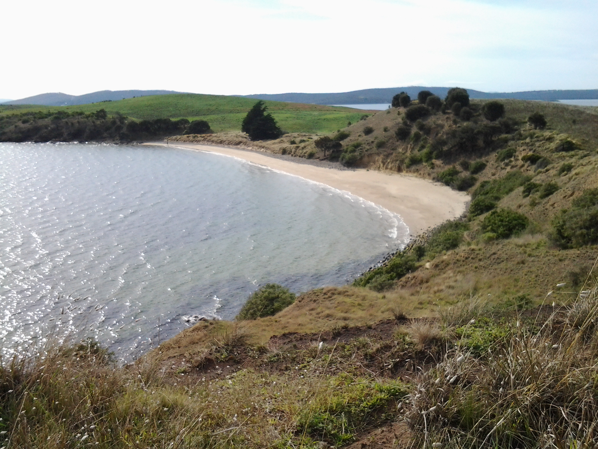
I reached the Blowhole sign, which indicated the entrance to a small park on a hill at the northern end of Blackmans Bay Beach, at 3.22 pm.

20150202_152145 20150202_152210

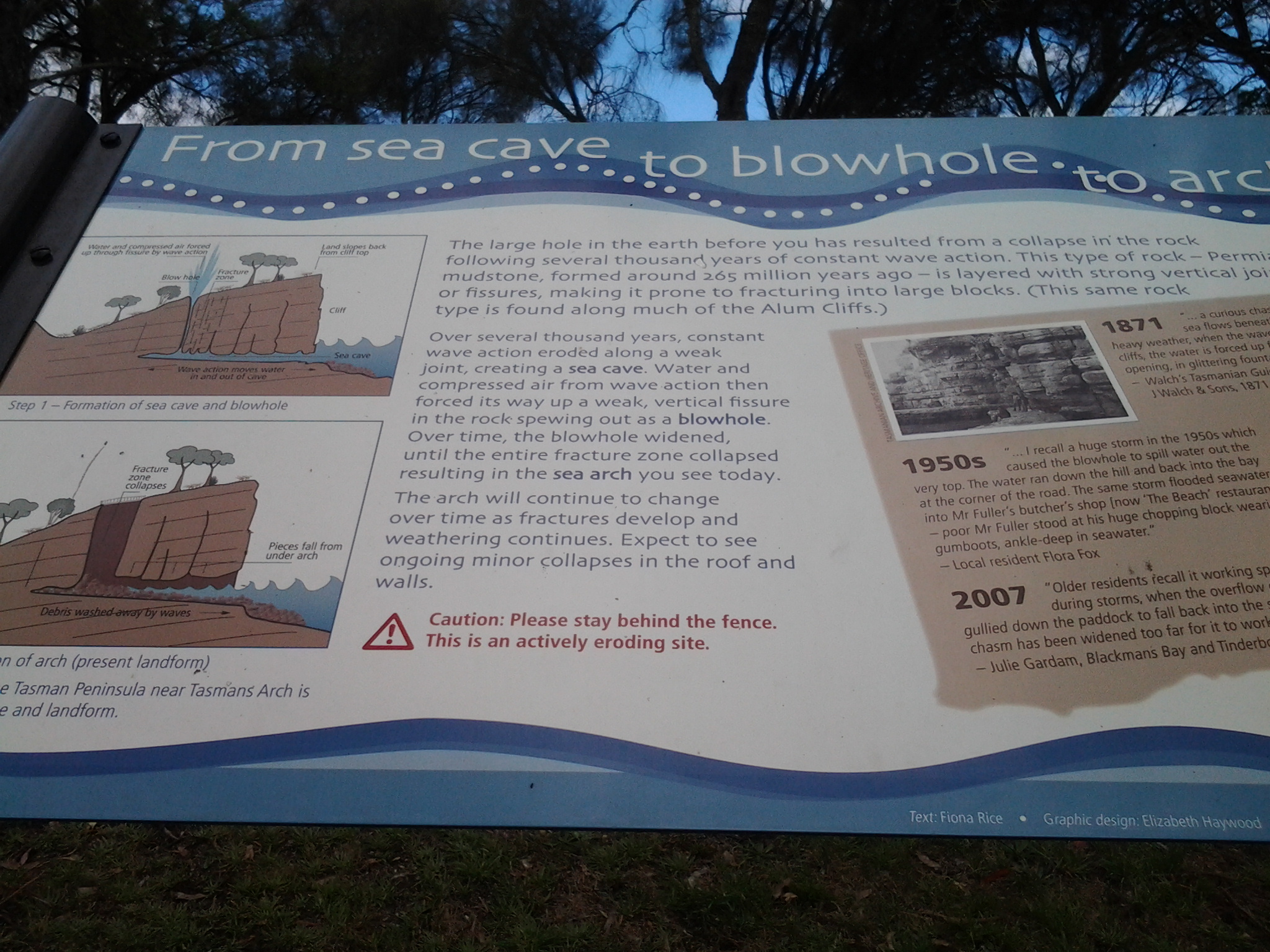
The weather wasn’t gusty and so the water ebbed and flowed rhythmically but undramatically beneath a rock bridge. There was no blowing of water through the gap.

20150202_152241

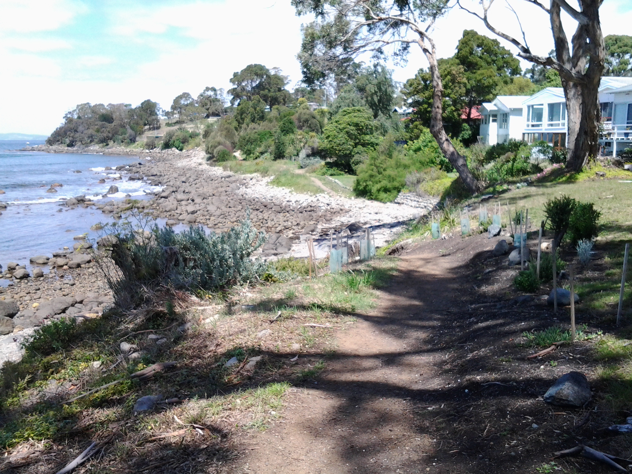
I continued down hill.

20150202_152611 20150202_153012

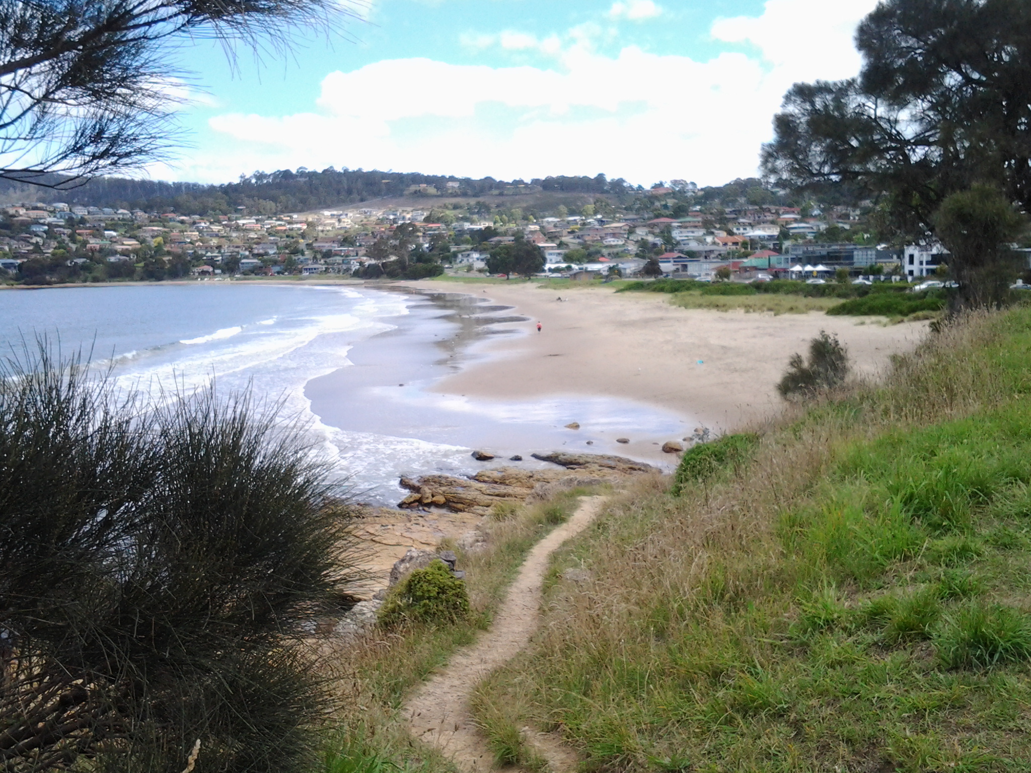
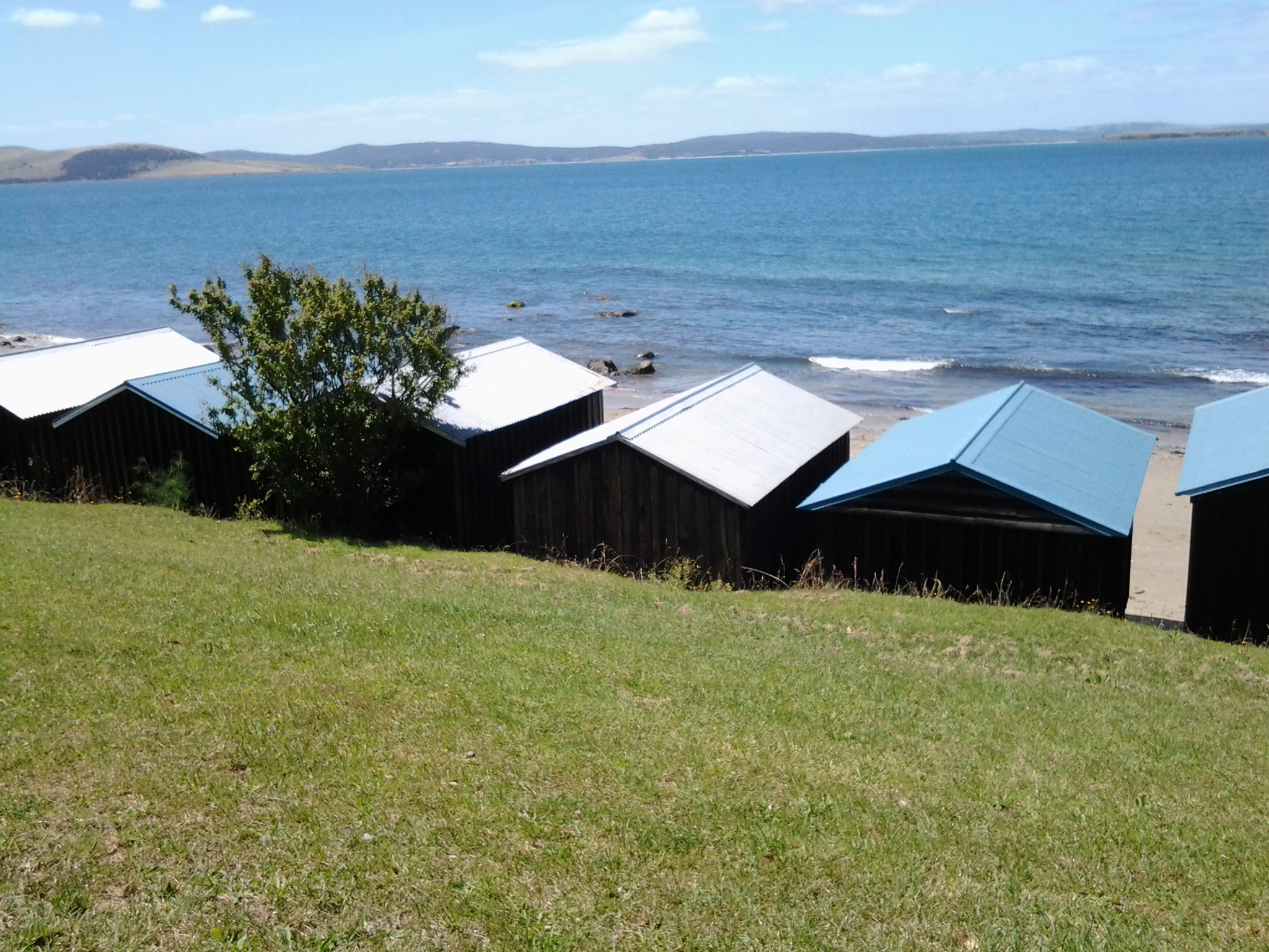
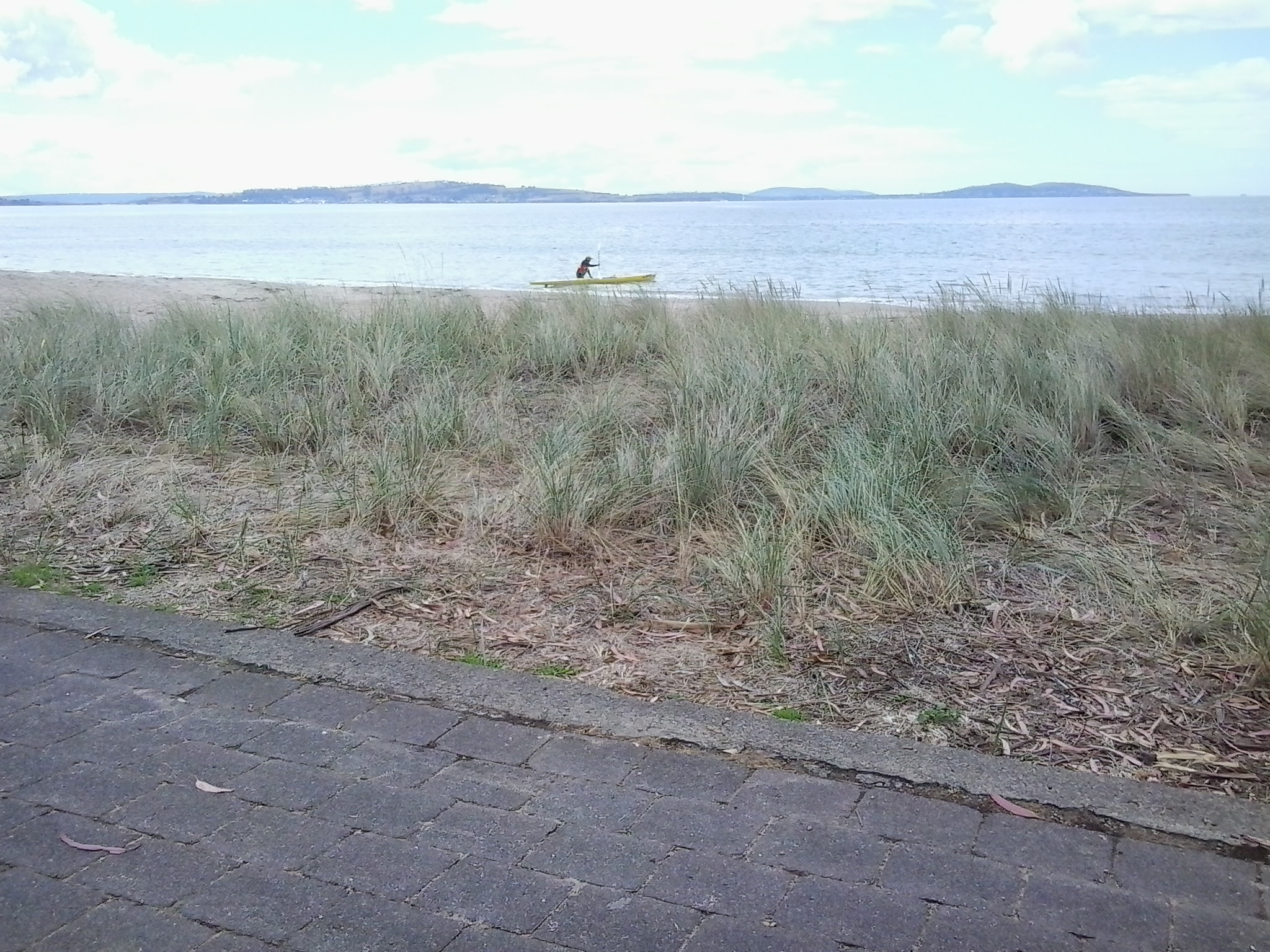
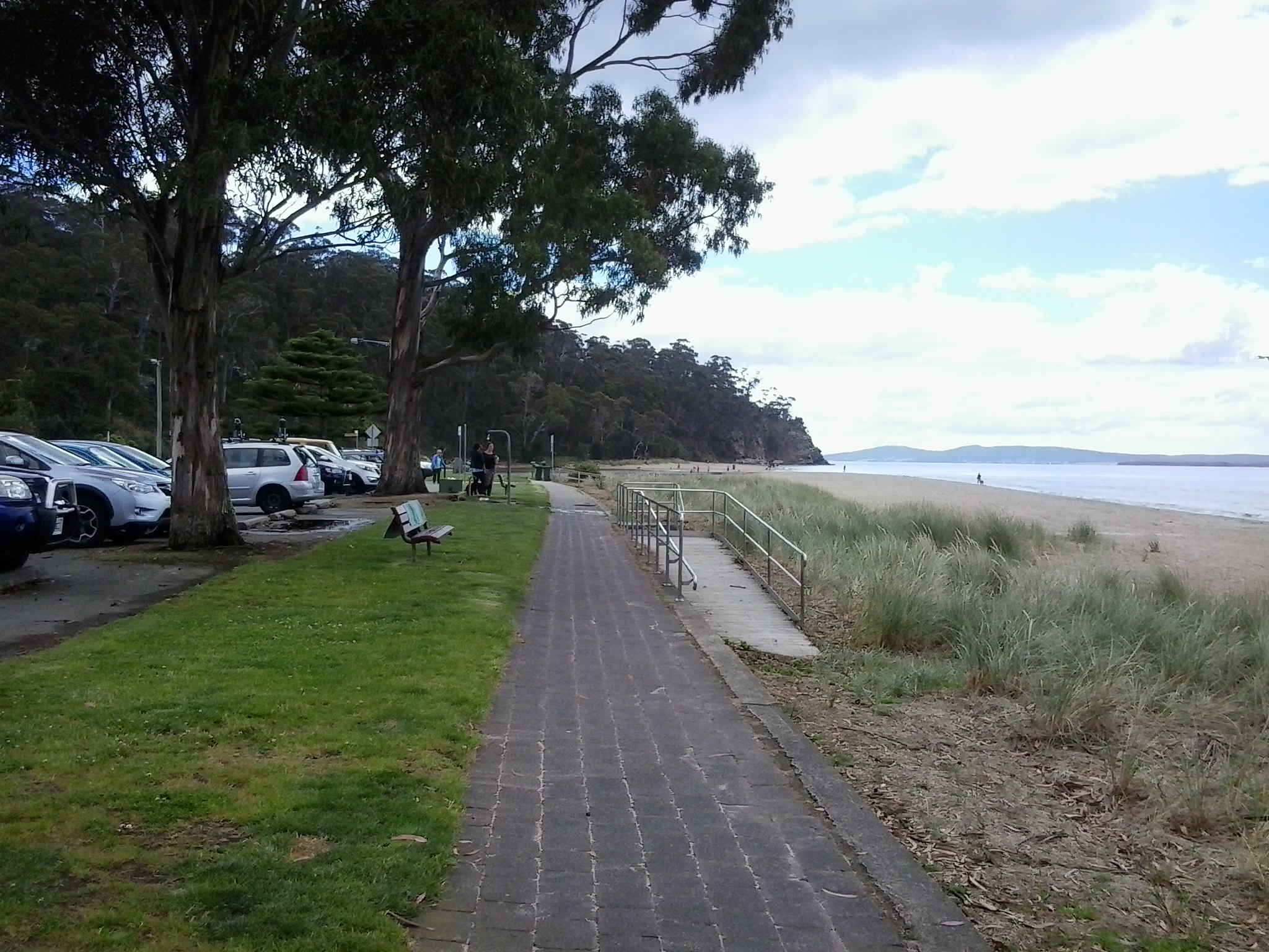
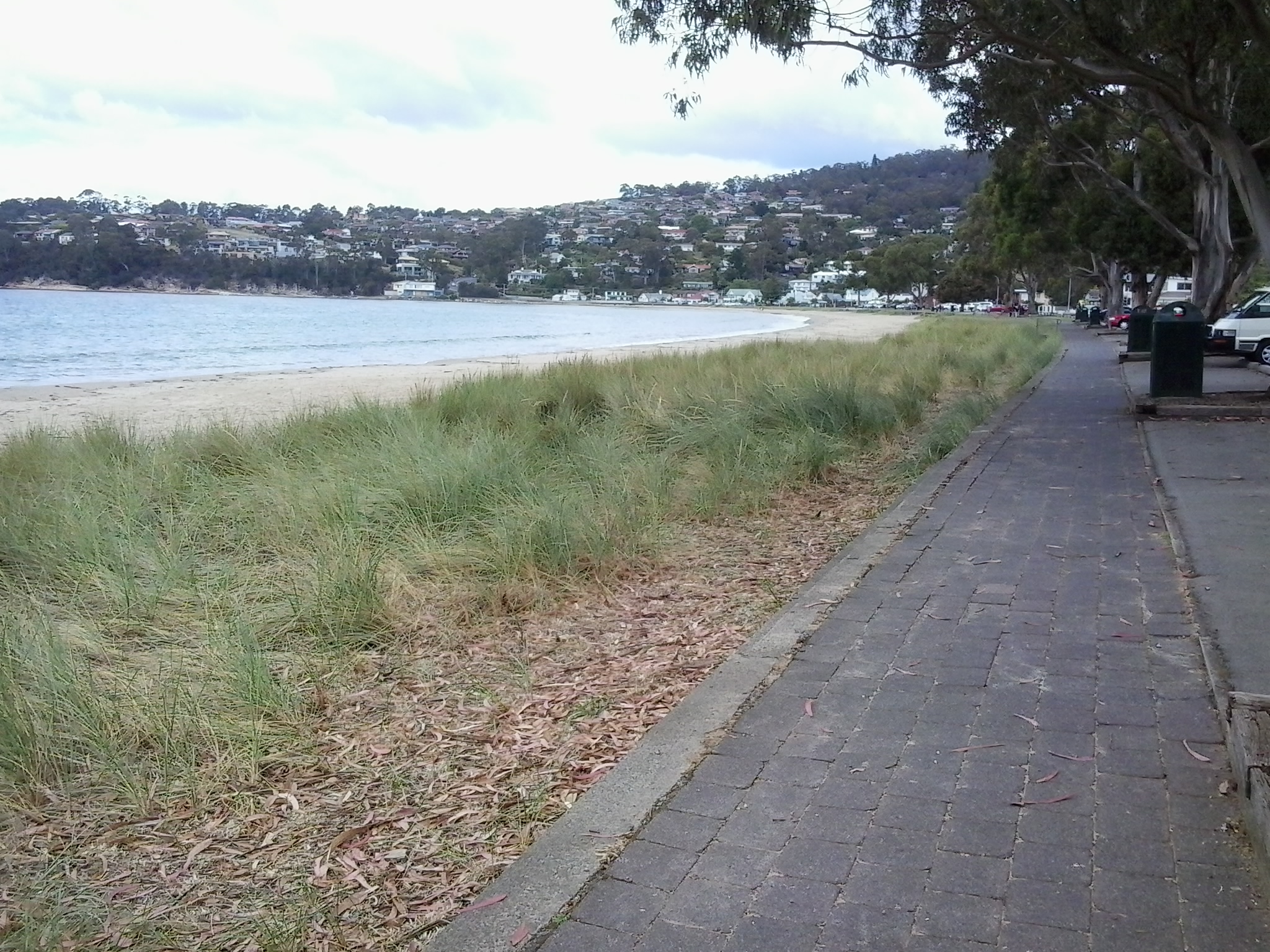
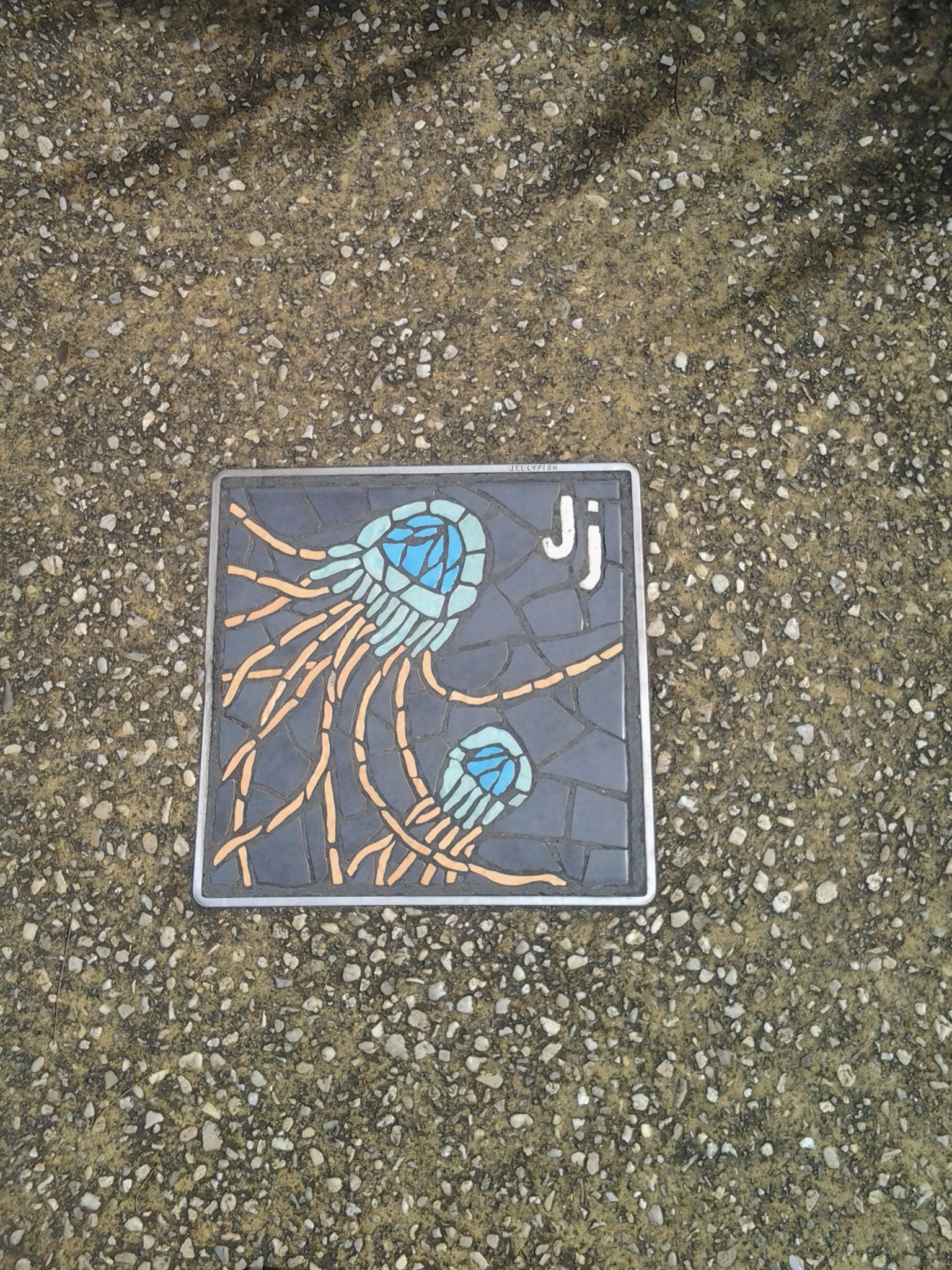
I reached beach level at 3.34pm and proceeded to walk on the path beside Ocean Esplanade. Inset into the pavement were handmade tiles and mosaics presumably made by community effort.  These were similar to those impressed into the footpath in parts of Kingston.

20150202_153808 20150202_153822

A little way along the Esplanade public toilets and a kid’s playground provided useful amenities.

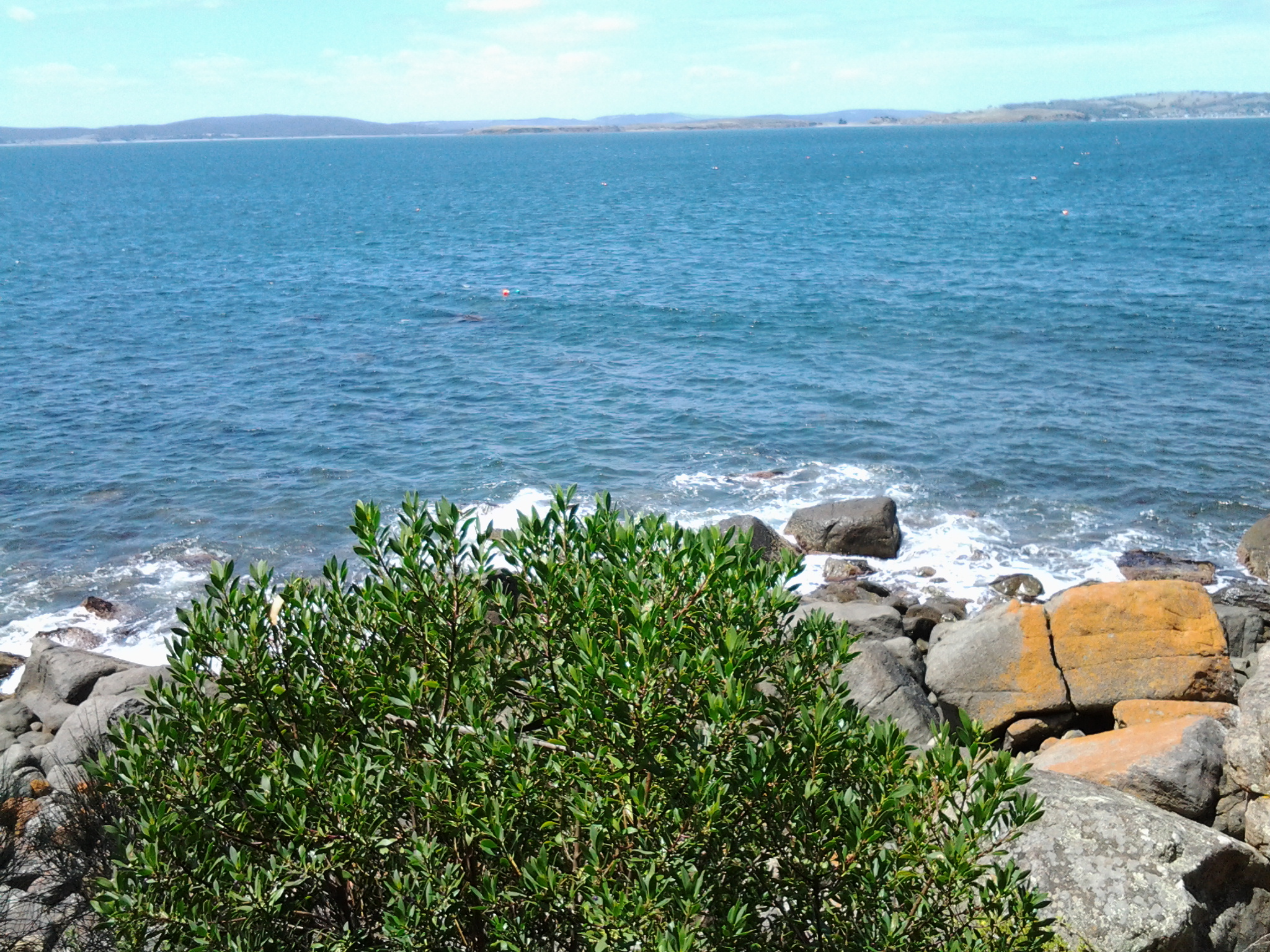
I decided to stop, look, listen and smell. Looking over the Derwent River to the South Arm peninsula and around about me watching people enjoying the beach and surrounds, listening to the seagulls calling, and smelling the salty air kept me seated for 10 minutes. I had walked two thirds of the way along Blackmans Bay Beach and it seemed a reasonable place to stop for Stage 12.  So I headed for  a bus stop.  I found one by turning into Hazell St and then into Wells Parade.  As I arrived at the stop, a Metro bus came over the hill in the distance.  Wonderful timing.  It was 4pm. The experiences of the day had been rich. I enjoyed the bus trip back into Hobart via the main Kingston shopping centre, and then the southern outlet highway. The view when we came to the top of the final hill is majestic (please ignore the dirty bus windows in the photos below).

20150202_161915 20150202_162002 20150202_162024

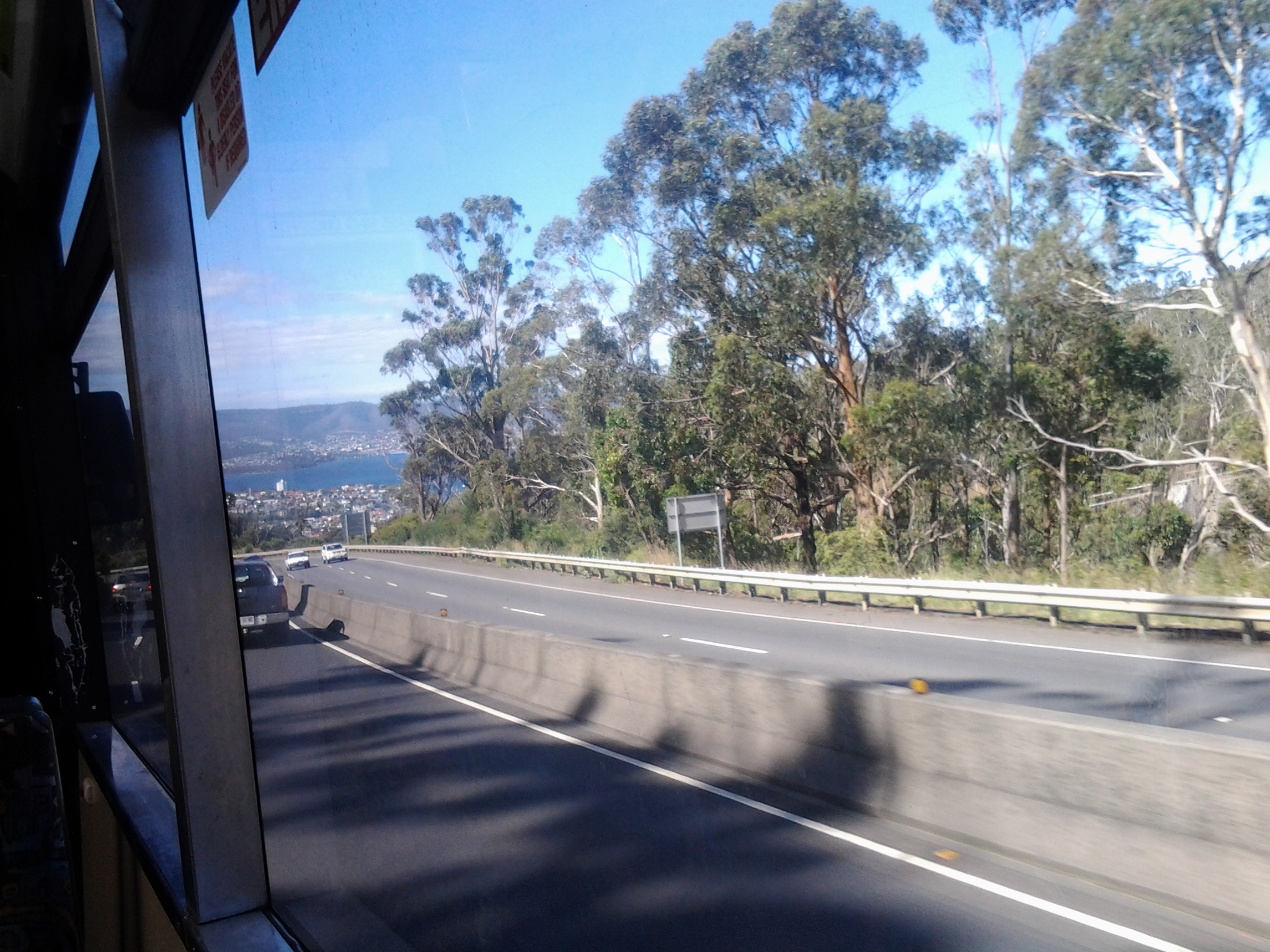
Some of Hobart and the eastern shore suburbs are laid out below with the blue Derwent River flowing between. Always stunning. After half an hour on the bus I arrived in Hobart city, then headed off for my Bellerive bus and was home before 5pm.  All together a brilliant day.  Stage 12 was complete!  Because of personal commitments and what I have seen in the weather forecast, I do not expect to walk Stage 13 until next week.

Taroona’s coastline as experienced on Stage 11 of my walk along the Derwent River

The last leg of this Stage was the most interesting because I made discoveries which delighted me deeply.

At 12.18pm, I left my Channel Highway resting spot and walked downhill toward the people-free Taroona High School (closed for school holidays). Close to the bottom of the hill I could see the tops of boathouses and a ‘beach’ to my right so I took a dogleg to Melinga Place on my right and continued downhill.

20150119_122623

I didn’t know this existed. Mostly a rocky shore, a little sand, edged by a mown green lawn.  Serene.  Across the Derwent River, I could see Gellibrand Point at the north of the South Arm peninsula.

20150119_122608

Walking southwards it wasn’t long before I entered the foreshore bushland on an easy-to-walk dirt track.

20150119_122632 20150119_123039

Later I found this had a name: the Taroona Foreshore Track. At one point the ‘track’ passed over a ‘beach’ of shells and rocks then returned to dirt and rose up over areas raised above the water.

20150119_123407 20150119_123610

An onshore breeze kept me moving.  Every so often, steep trails descended to the rocky shore but I realised that staying on the track would be more comfortable than rock hopping the edge of the River.

When I walked through a grove of trees that were obviously different, I was delighted to read an information panel which informed me this was an “unusual and isolated stand of blackwoods.  Acacia melanoxylon.”  The species is also known as Sally wattle, lightwood, hickory, mudgerabah, Tasmanian blackwood or black wattle. Their rough bark seemed as if it would flake off in small pieces but it was toughly attached.

20150119_124053 20150119_124059

At 12.46pm I looked back northward and could still see the boathouses near the High School.

Looking back to boathouses below Taroona HS

A couple of minutes later I reached Crayfish Point where I noticed craypot markers bobbing in the Derwent River as evidence that fishing for crayfish/lobster was taking place.  However, a sign seemed to indicate this was part of fisheries research by the University of Tasmania.

20150119_124945

Brilliant orange lichen sprawled across some of the rocks.  Huge Pied Cormorants rested on rocks with water lapping at their feet.  This was one of those brilliant days when all the superlatives in the world seem inadequate.

It was near here that an information panel enlightened me about some of the native vegetation.  Now I can identify not only Pigface which I love, but also Bower Spinach and Grey Saltbush. Why I didn’t take photos of the real thing while I was walking I cannot say. Daft!  So I have Googled for images:  If you type in Bower Spinach Tasmania Images, up comes a suite of pictures showing this fleshy leaved plant.  Try something similar to find images of the softly grey coloured Grey Saltbush.

When I reached the start of Taroona Beach at 12.53pm, I looked up the hill and in the distance I could see the Shot Tower that had been built in 1870 (the Shot Tower, a major tourist attraction, is normally accessible from the Channel Highway).

The Batchelor’s Grave Historic Site, just above the foreshore of Taroona Beach, was a surprise.  Wikipedia provides the information that this is “the grave of a young sailor, Joseph Batchelor, who died on the sailing ship Venus in the Derwent Estuary in 1810, and was buried ashore on 28 January 1810. It is reputed to be the oldest European grave in Tasmania”. I am amazed at this idea.  I cannot imagine that many Europeans didn’t die and were buried in Van Diemens Land before 1810 – however, maybe this is the only stone grave marker left from early in the 19th century.

20150119_125452 20150119_125441

Taroona Beach is backed by Taroona Park with pleasant picnicking facilities and public toilets.

20150119_125327 20150119_125918

I left at 1.06pm and walked along Niree Parade for a couple of minutes until the Taroona Foreshore Track restarted.

Within moments I arrived at Hinsby Beach, which was the find of the day as far as I am concerned. Isolated.  Small.  Tree edged. Calm.  Small wave break.  A few boathouses.  A family beach with a few swimmers and sun bathers.  Located at the end of the River edge before the steep Alum Cliffs which flow for 3 or four kilometres to Kingston.

20150119_131323 20150119_131402

I soaked in the atmosphere before starting uphill on a public access walkway at 1.22pm, under shady bushes with lush surrounding ground cover. The track connected to the bottom of Hinsby Road. At the top of Hinsby Road the Channel Highway flowed by. As I arrived at bus stop 30 at 1.36pm, a Metro bus came by on which I made the trip back into Hobart. Half an hour later I was in the city and ready to make the bus trip back home in Bellerive.  I walked in the door at 2.40pm after an exhilarating day when my feet didn’t want to carry me, but I insisted and they persisted. This really is a wonderful part of the world.

Kingston Beach, Tasmania

I found a tiny laneway, squeezed between residential properties, which extended from Roslyn Avenue near where I was staying in Kingston, down to Kingston Beach.  The downward stroll took 6 minutes and, later, the return trundle uphill took 10 minutes.  The easy accessibility to the beautiful foreshore is an asset for locals.  I loved the closeness of the lush vegetation along the pathway and then the openness of the Beach extending before me once I reached the Esplanade.

The morning was overcast with a moderate breeze, but the weather did not deter families, groups of children or a kayaker from enjoying the beach and water.

In the photo below the lone kayaker sets off to enjoy a paddle. The land which can be seen across the Derwent River is the South Arm peninsula. Standing on Kingston Beach, I could identify key points along that piece of land which I had walked during Stage 1 and 2: Gellibrand Point, Opossum Bay, South Arm, and Fort Direction Hill.

Kayaker

I followed a path along the foreshore northwards to Browns River and then I retraced my steps. Looking towards the mouth of Browns River as it enters the Derwent River.

Pathway along Derwent at KB

At Browns River, one side of Mount Wellington looms in the distance.

end of Kingston beach road

Kingston Beach and Browns River are located within the municipality of Kingborough as part of the Greater Hobart Area. In the photo below the waters of Browns River can be seen meeting the Derwent River.

Sign

Nearby I discovered a plaque (photo below) and its message surprised me. Browns River was named in 1804 (you can read more about Robert Brown at https://www.forestrytas.com.au/assets/0000/0185/tasfor_12_10.pdf).  From the reports of my earlier walks in this blog, you might recall that Risdon Cove was established as the first white/non indigenous settlement (on the eastern shore, and quite a few kilometres upstream from the mouth of the Derwent River) in September 1803. I find it quite extraordinary that within months of the first white settlement (in fact Brown named the River in April 1804), despite the difficulties of making a new home in this foreign land, new arrivals were off and about checking and naming other edges of the Derwent River. It wasn’t until July 1804 that the area around Sullivans Cove (the site for the central part of the current city of Hobart) was set up for permanent residency. Sullivans Cove is much much closer to Browns River than Risdon Cove, so Brown had a long way to paddle.

Browns River plaque

The photo below looks back towards the centre of Kingston Beach from the Browns River northern end.

kb 2

I loved the trees and was especially impressed by one of the flowering gum trees next to the foreshore walkway.

gum blossom

The stroll from the one end of Kingston Beach to the other takes about 15-20 minutes and represents approximately 1 kilometre of the Derwent River’s length.  Immensely pleasant.  If you haven’t enjoyed this part of the Greater Hobart Area, or it’s a while since you have travelled here, then I strongly recommend you make a visit.

Fish and chip shops, cafes, a sad looking motel and Duncan’s Beachfront Motel Hotel are located across from the beach.  Some readers might know Slim Dusty’s song ‘I’d like to have a drink with Duncan’ (refer to http://www.lyrics007.com/Slim%20Dusty%20Lyrics/Duncan%20Lyrics.html for more information). Jo will recall the hilarious fiasco at a fashion parade in Darwin when this music coincided with a bridal dress being shown on the cat walk.  I wonder who Kingston’s pub is named after? Anyone know?

shops and cyclists  Motel  Duncans pub

Along the street travelling away from the beach towards Hobart, you will pass an assortment of outlets including hair salons, service stations, a community hall and, very surprisingly, the Wafu Works which is a shop selling vintage authentic Japanese fabrics.

Japanese Wafu Works  Japanese fabric shop

Simple street art in the form of inset mosaic panels have been incorporated in the pavements.

Mosaic in pavement  Street mosaic in pavement

This part of Greater Hobart is very attractive, and I am vowing to visit more often.

Stage 2 on 4/9/2014 Mary Ann Bay Email 6 of 14

From the communications Tower, I followed the reasonably flat four-wheel drive track north eastwards by the edge of the river and ten minutes later I was able to look down from a high cliff towards Mary Ann Bay.

20140904_101830

For a short while a solitary man stepped briskly along its short length. Despite the children stopping and starting as they took in the sights along the way, the group caught up with me as I looked down at the beach end of the very long and faceted Mary Ann Bay. These were relaxed country kids who said their ‘hellos’.  I had forgotten such differences exist between the city and country. Their openness reminded me of my experience on a Marquesas Island last year, when having talked to a primary school class one day, and then travelling to a remote part of the island the following day, a young girl came up to me in the car where I was sitting, simply to say hello. With each of our halting use of the French language (the Marquesan’s speak a Marquesan language as their first language and only French, the national language, occasionally) we were able to work out why she was greeting me. She had remembered me from the class room, and the country thing to do was always to acknowledge people you know, however slightly. But I have gone off at a tangent … back to the walk and to Mary Ann Bay.

After glorying in the views of the undulations of this part of the South Arm peninsula, the expanses of the Derwent River and the sparkles of the western shore, I had the choice to continue on the four-wheel drive track up and over a hill or follow a single track through tall wet grass that skirted the cliff edge. No contest. I avoid hills when I can.  Of course I had no idea where this track would go or whether I would need to retrace my steps. But all was well, and the track gave great views before curving around downhill from the main track. Quite quickly I found myself back joining the main track after it had dropped down from the hill. It was only 10.25 am and I had been walking for an hour and a quarter.

I continued for a few minutes along the main track until I reached a very steep hill for a 4 wheel drive to descend. Having owned a 4 wheel drive and enjoyed off road adventures in the Northern Territory, I know that if I had come across such a serious drop I would have been taking lots of very deep breaths and may have even prayed in what would be a swift if not hair-raising sliding descent.  On my walk down the hill, I avoided the slippery earth and enjoyed a safe descent courtesy of clumps of grass. Soon after this, I continued on and passed the sandy track that could have taken me onto the beach end of Mary Ann Bay.