Tag Archives: wattle

Bushy Park’s Sports Oval

Bushy Park’s sports arena was a typical rural affair; a large expanse of featureless green, a toilet block, a tiny visitor building (‘geez mate it’s starting to rain let’s go and stand under the verandah’), a track, and not much more.  No football goal sticks in sight.

20150918_113424

Barbed wire fences prevented me entering this area and therefore I could not walk to and then walk by the river. I continued along the road, and turned right at the T-junction. A left turn would have taken me away from the Derwent River to Glenora, Mount Field National Park and further afield to Strathgordon and Lake Gordon.  By turning right I was on the way to the day’s destination of Gretna.

20150918_113856

The local hops growing association seems to own the Bushy Park sports oval and offers ‘day use’ only from this entrance point on the road to Gretna.

20150918_114143 20150918_114147

Looking back along the road:

20150918_114000

Looking forward along the road:

20150918_114035

This glorious afternoon was improved by the sensational golden blossoms of this wattle tree:

20150918_113757

Fruit trees further than the eye could see

After enjoying the river edge for a short while, I arrived at a demarcation line. From that fence, I could see a tiny portion of 700 acres of cherry orchards before it extended over hills and was lost from my view.  While the fences were impassable an ordinary gate fastener made it easy for me to enter the paddock.

20150917_120701 20150917_120706 20150917_120856

Soon I arrived back at the river edge; in the photo above the river was flowing on the other side of the prominent evergreen tree. After walking a short while, I rested in the deep shadows of a giant wattle tree for a lunch break and enjoyed the smooth rush of the water.

20150917_113621 20150917_122225

This was the property of Reid’s Fruits. The Reid’s family’s website proudly announces they grow ‘undoubtedly the best Tasmanian cherries!’  What I saw were trees still dormant, others beginning to bud and a few showing their first blossom. It will be near Christmas and into the New Year before the bountiful harvests reach our tables and make it overseas.

20150917_124443

Golden acacias

In our Tasmanian bush and in the suburbs Spring is evidenced by the budding and blooming of the early flowering native acacias. Last year, I included photographs of a few different varieties of these trees, commonly known as wattles, in various blog posts. Over the weekend during a suburban ramble, I was delighted to come across the early awakenings of a couple of wattle trees.

In my photo below, on the lower left of the image you can see some ‘open’ flower balls. As yet I have not been able to identify this acacia tree: it looked something like an Acacia Riceana otherwise known as the Arching Wattle, but it was not a prickly bush so this means it is another variety of the 950 species of acacias.

 2015-08-08 10.01.54

Wattles have been known and used by Australia’s indigenous population for thousands of years as an excellent food source. According to WildSeed Tasmania  , the Acacia mearnsii ‘Black Wattle’ is one of a number of local wattle trees which have edible seeds suitable for flour production and for medicinal uses of its bark. More information can be read at Bush Tucker Edible Acacias. The Australian Native Food Industry says the edible parts are ‘Seed – the seed is harvested, then roasted and can be ground or sold whole. The flowers (without stalks) can also be used, typically in pancakes, scones and scrambled eggs or omelettes.’ This website also contains information about the nutritional value: wattle seed is a high energy source, contains a wide range of minerals and provides valuable fibre to the diet. The seed pods appear in the first part of the year so, when I am walking along the Derwent in the first three months of 2016, I will remember this readily available food source.

Finding cooked produce containing wattle seed in cafes or restaurants is not unusual. Native Tastes of Australia lists many recipes for mouthwatering cakes, pies, meat dishes and much more.

Another revision: naturally therapeutic images from stages 7-10

I can’t help myself. Having reviewed my favourite images from the first half a dozen stages of my walk along the Derwent River, I felt compelled to continue looking through my collection from the subsequent walks.  I have chosen photos showing aspects of both the natural and man-made world and I believe all will prompt thinking about the Derwent River, Hobart and its suburbs, and the natural environment. My selection of the images with the most memorable impact for me, from stages 7-10, are given below.

20141031_094126

From the eastern shore looking northwards towards the Bowen Bridge, with a couple of black swans on the river.

20141031_100200

Two plaques ‘opened’ by two great Australian prime ministers near the Bowen Bridge.

20141031_104822

The rusting raw-edged remains of a ship, the Otago, at Otago Bay.

20141031_113132

My enjoyment of any family’s black sheep.

20141031_123000

Heading into Old Beach and gradually leaving Mount Wellington behind.

20141031_132519

The gloominess of the approaching storm when I reached Old Beach.

20141111_092342 20141111_092805

The pleasures of well-made pathways, thanks to local government.

Green Point from new Old Beach

Looking northward across the Jordon River to Greens Point.

20141111_103700 20141111_121906

The glories of native flora. In these instances, it was blooming wattle and a spectacular stand of eucalyptus/gum trees which attracted my attention.

20141111_120752

The remains and the signs of a burnt out car on a back track.

20141111_130523

Knowing that it is still possible to have a laugh when walking.

20141111_131133

Arriving at the Bridgewater Bridge.

20141111_134311

Walking on the western shore of the Derwent River for the first time during this project.

20141125_095438

The house of one of first European settlers, James Austin, at Austins Ferry.

20141125_115047

At Dogshear Point, walking around the Claremont golf course, with the thwacking sound of hit balls crossing the greens.

20141125_110906

Reaching Cadbury’s chocolate manufacturing factory in Claremont.

20141125_143454

The hand-hewn rustic style seat near Connewarre Bay.

20150109_074126
Passing MONA somewhat camouflaged as it nestles into a tiny hill against the Derwent River.

20150109_081644

The mosaics along the foreshore.

20150109_101243

The jumble of boats and boat houses at Prince of Wales Bay.

Hoon tyre marks

Road mark making in Lutana.

20150109_132008

Cornelian Bay’s oil tanks up close.

20150109_153103

The Tasman Bridge.

20150109_155515

The circus had come to town.

20150109_161747

The emptiness of an arena of stands waiting to be filled during wood chopping competitions.

20150109_161339

Reaching the ‘end of the line’ on arrival in Hobart city.

The Suncoast Headlands Walking Track south from Blackmans Bay

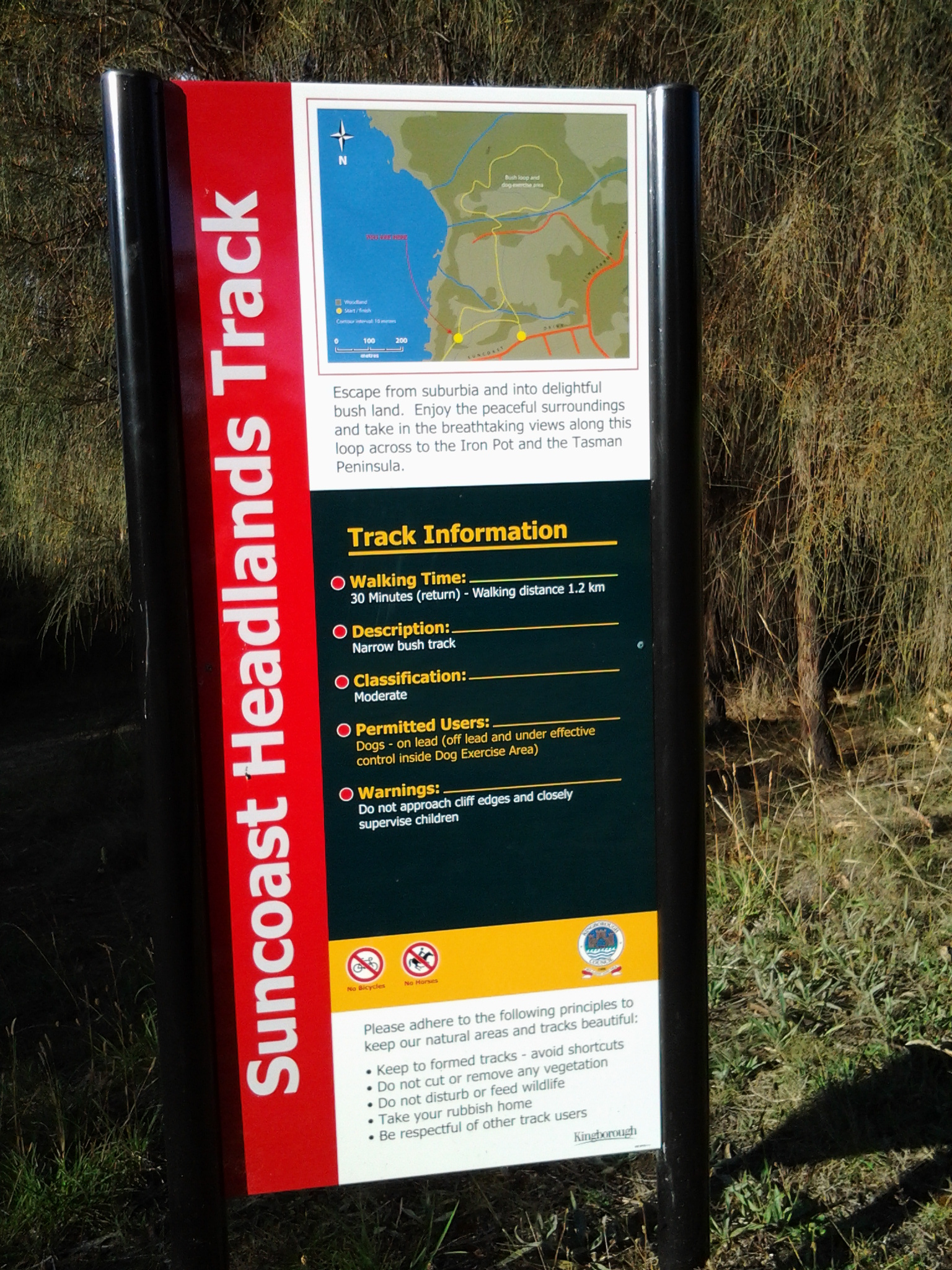
A few minutes before 8am on Stage 13, I started walking on the Suncoast Headlands Walking Track.  Initially, the track ran directly next to the Blackmans Bay Beach and then began to rise up onto the headland and continue between fenced private houses and the Derwent River. The early part of the track was directly west and so I had strong sunlight straight into my eyes, temporarily blinding me from looking at the surrounding vegetation as I walked.

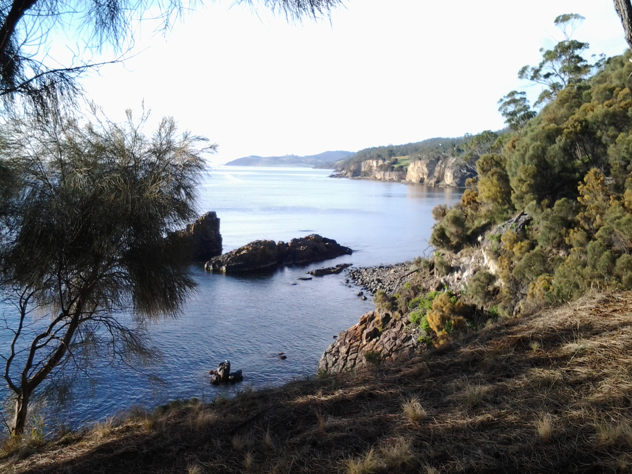
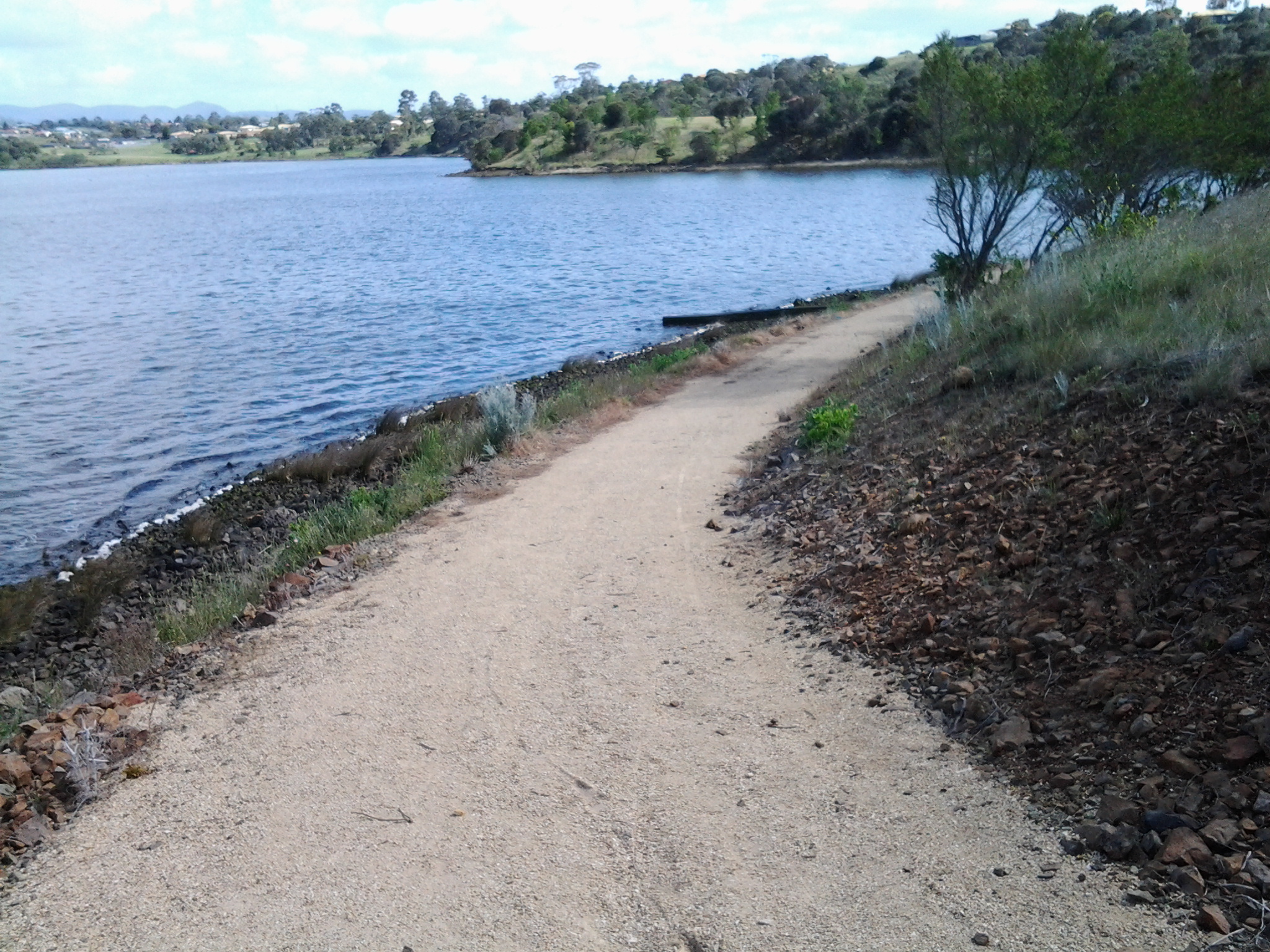
Just after 8am the track turned right and I looked down into a rock edged bay.

20150224_081200

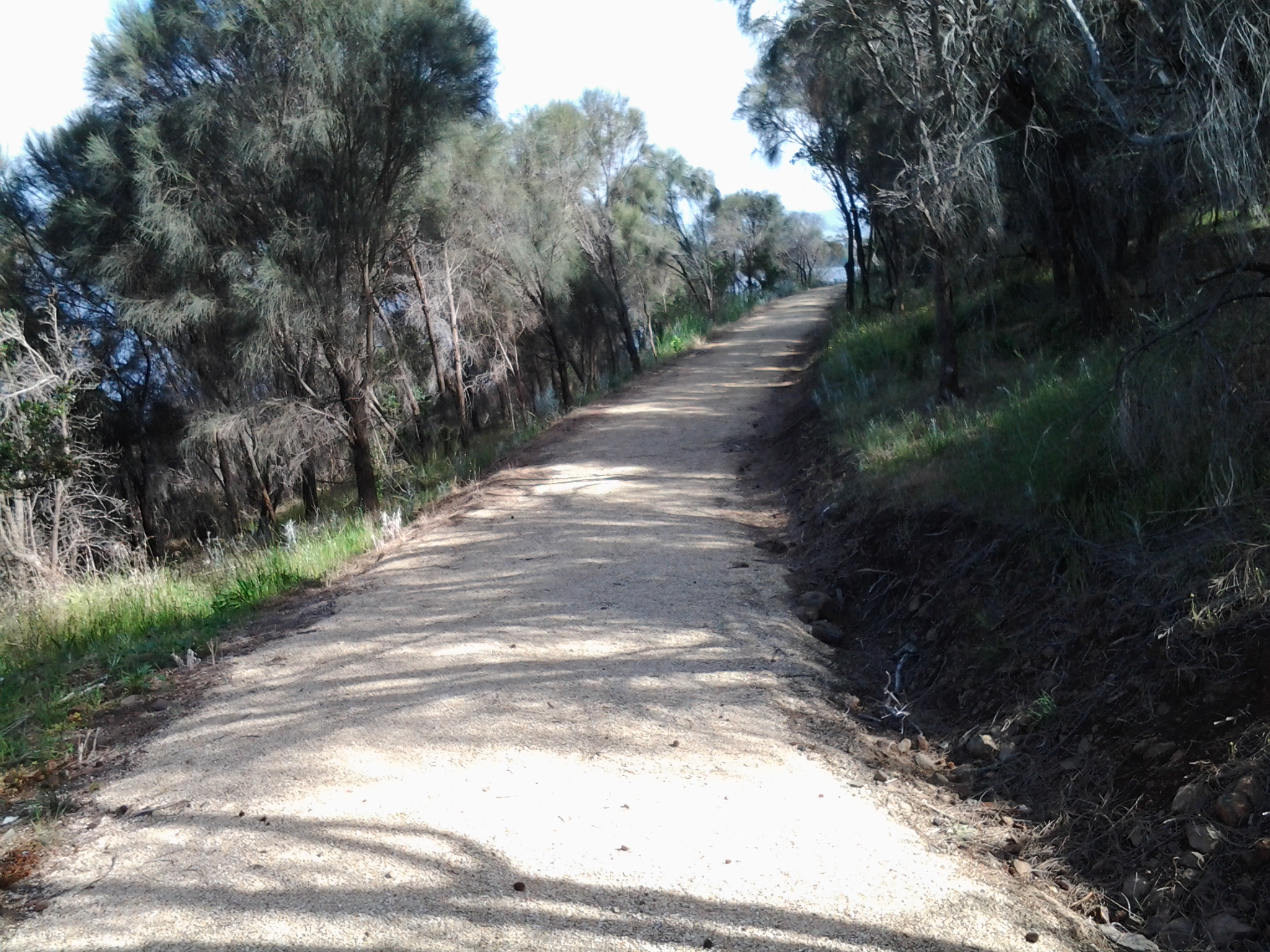
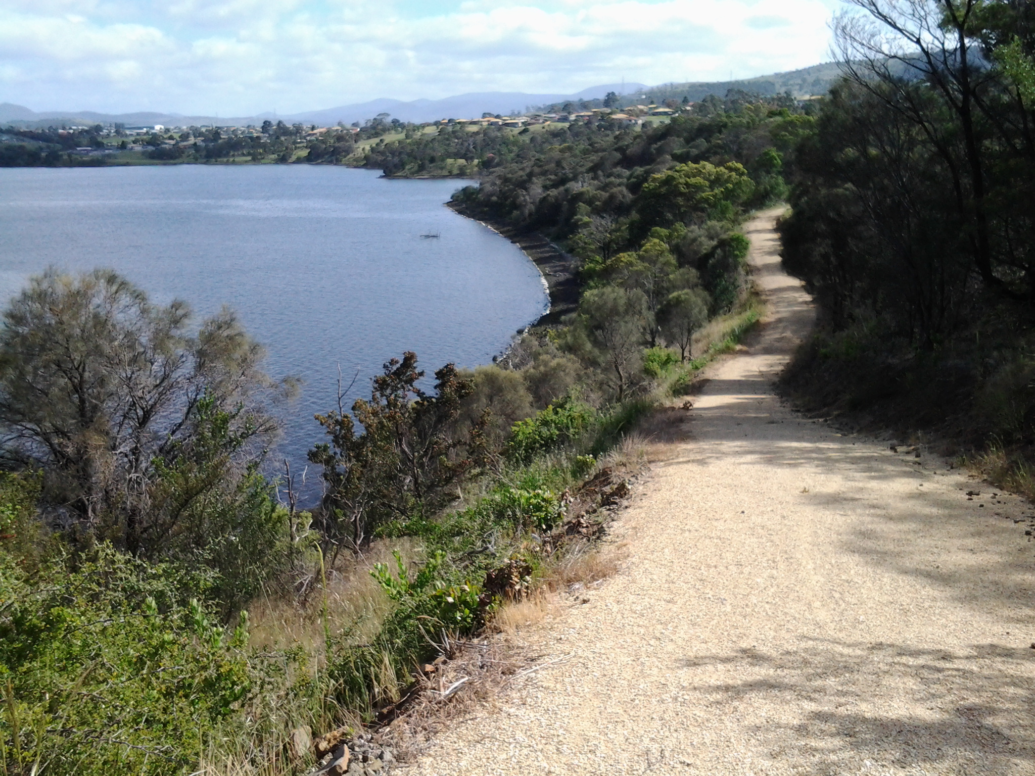
At this point the track was fenced on the River side to prevent walkers slipping over the edge of the cliff. Later on the track was fenced intermittently. I walked up and up higher onto the headland.

20150224_081454

Occasionally I passed tracks leading back into suburban streets.

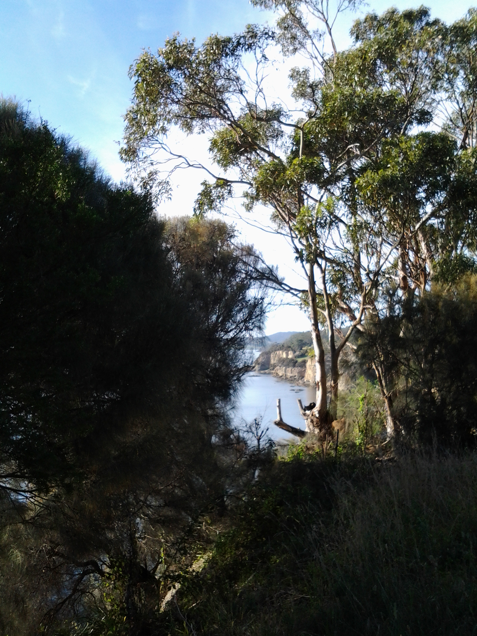
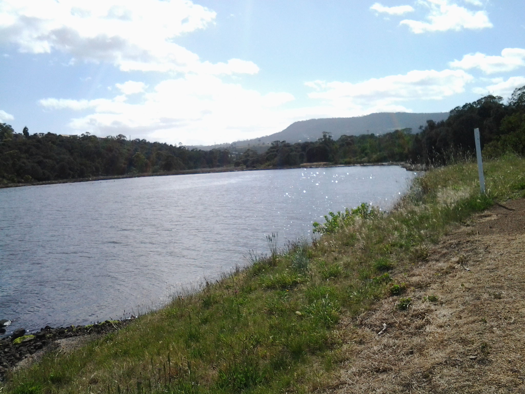
At 8.13 am I caught a view of some curvy hills in the Tinderbox area headlands way in the far distance.

20150224_081802

At 8.21 am I reached a second Suncoast Headlands Walking Track sign which indicated where the path lay.

20150224_081942

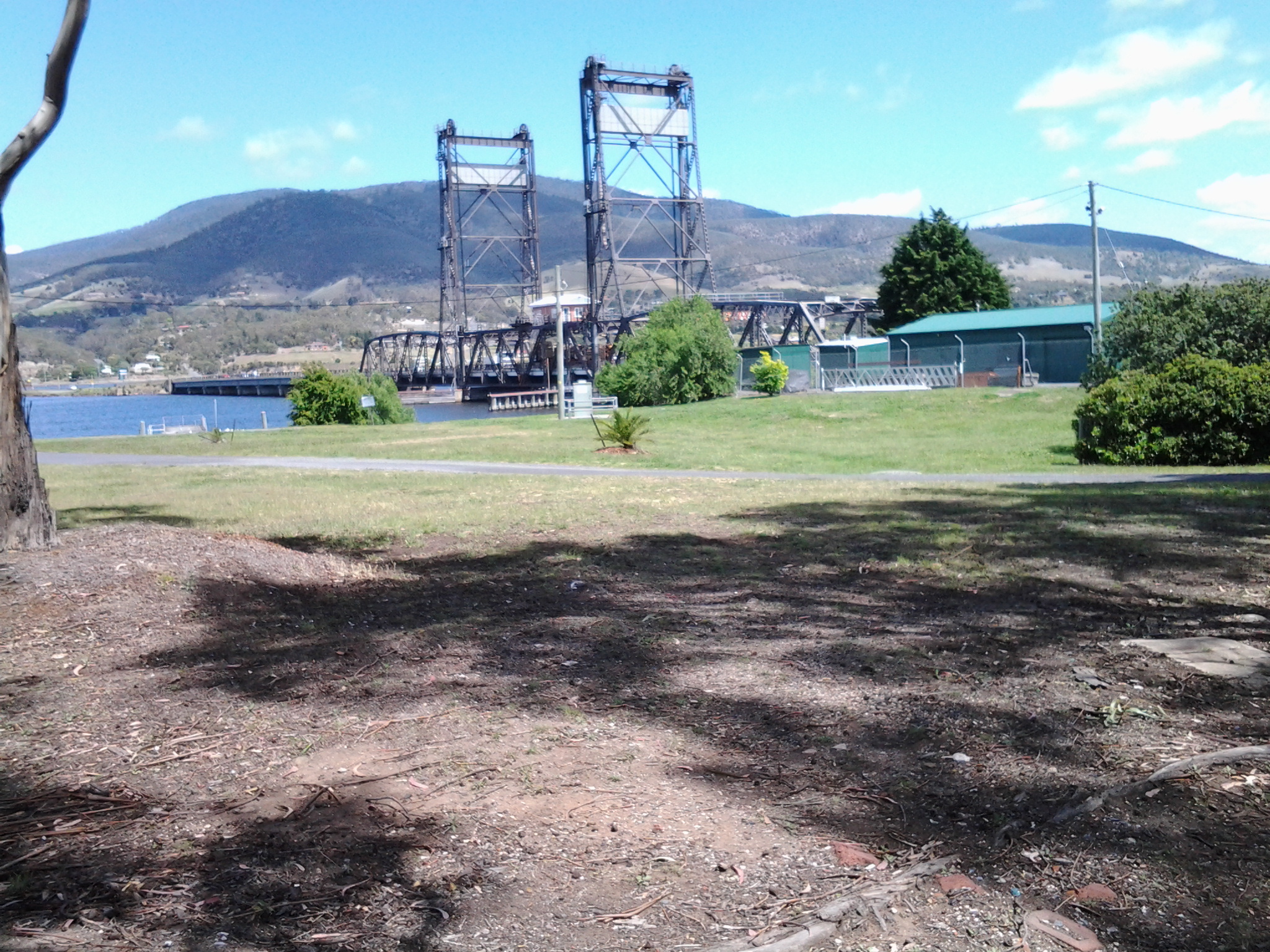
However there were no clearly discernible paths across large expanses of mown grass.  I did the best I could and soon found myself at the Sewage Treatment Plant on the edge of the Derwent.  For a short while I followed a track down to the rocky shore, but at a certain point it was clear that if I reached the water level (and the descent didn’t look anything but potentially dangerous), there would be no way up on the other side of the Treatment Plant.  I retraced my steps. Then I tried to walk along the fence line in front of the Plant, but I soon found this way was impassable.  Wily blackberry canes thwarted further progress. The steep drop to the shore was frightening. And more Kookaburras were laughing. Ha. Ha. Ha. H. H. H. H. Ha. Ha.  So, again I retraced my steps and decided to walk inland along and around the Sewage Treatment Plant’s fence line. There was a semblance of a track on my new route, but obviously I had missed the main ‘thoroughfare’.

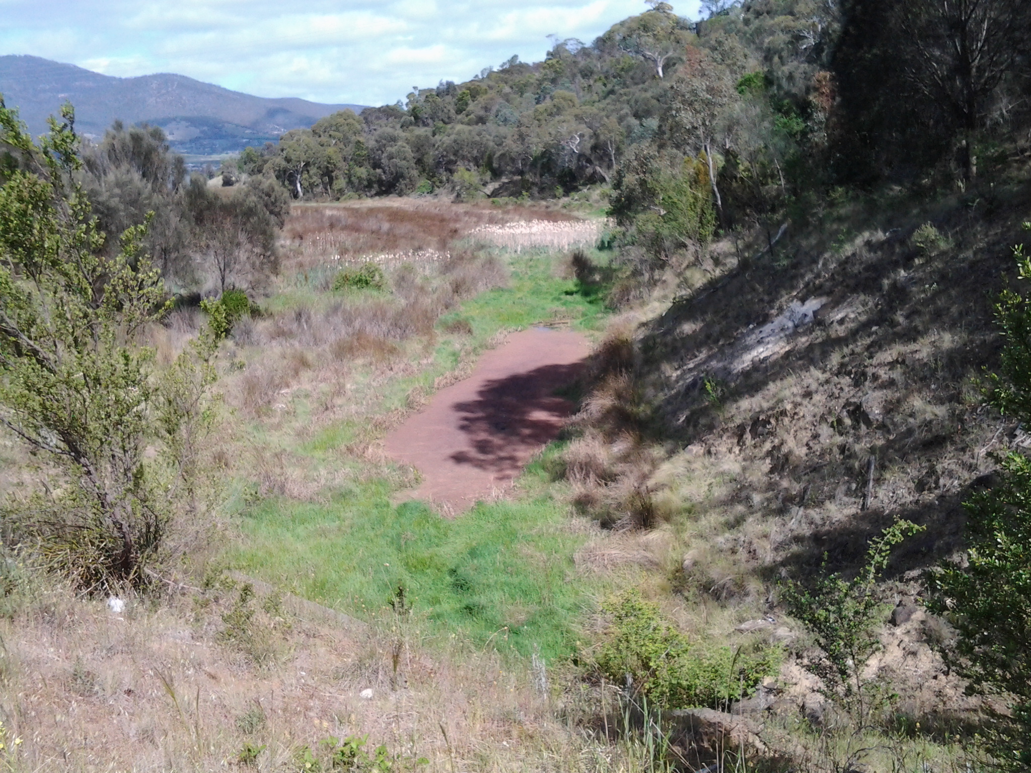
I was glad to have walked this way because, for a part of it, I enjoyed moist mosses softly cushioning each footstep.  These mosses were bright lime green in colour.  Soon afterwards, I walked across an area where tall grasses had recently been slashed making it easy to continue.  Of course I did not know where I was going track-wise so, with the sun as my guide, I simply made sure I continued southwards. Once I reached a cleared open meadow with barely visible tracks, I had warmed up, my jacket was off, and I was standing opposite the South Arm township on the eastern shore.  I walked onwards and spotted a tiny yellow sign 50 metres away. From there, at 8.40am, I crossed over the bitumen road that leads to the Sewage Treatment Plant, signed as the Blackmans Bay Wastewater Treatment Plant.

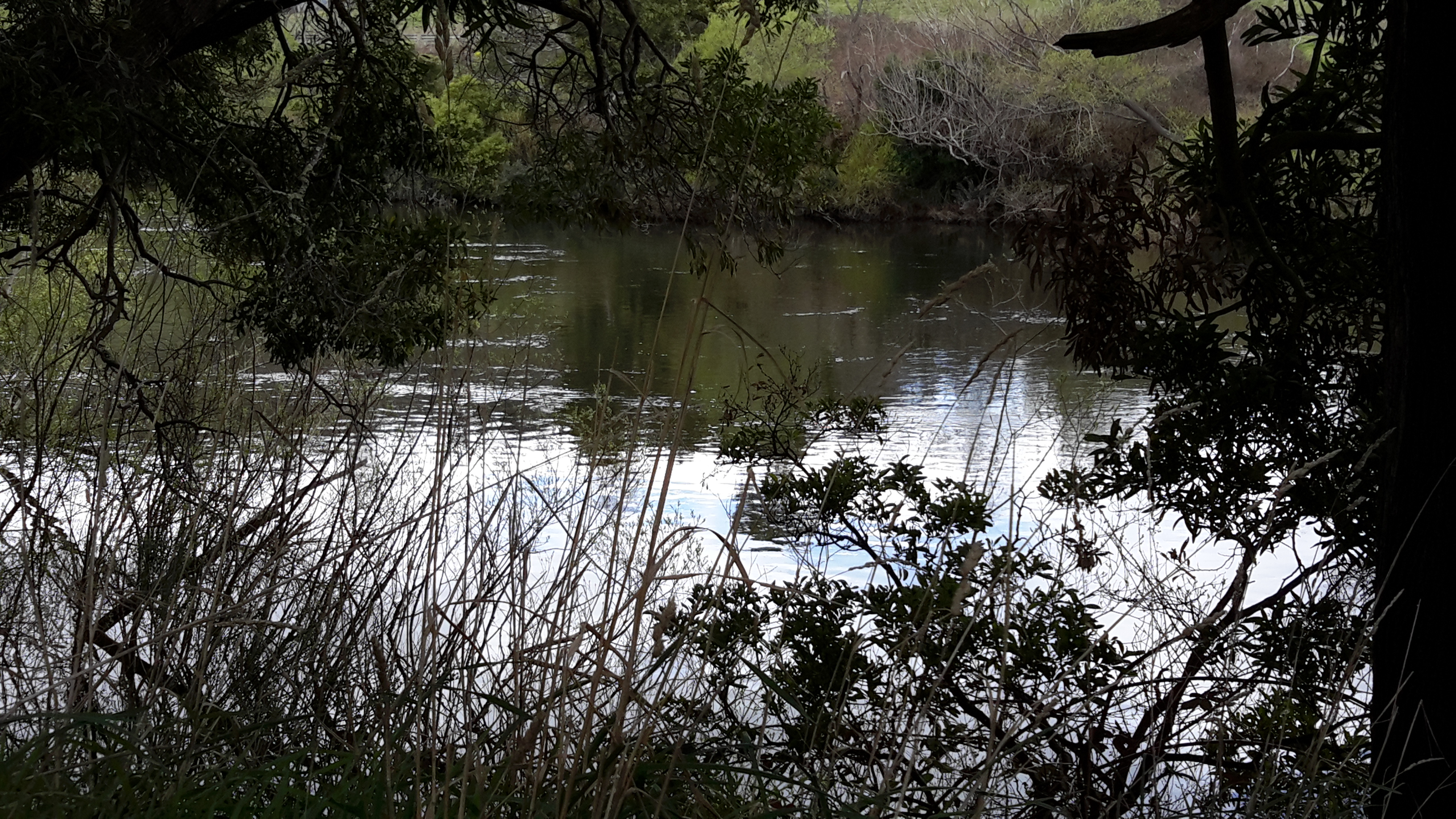
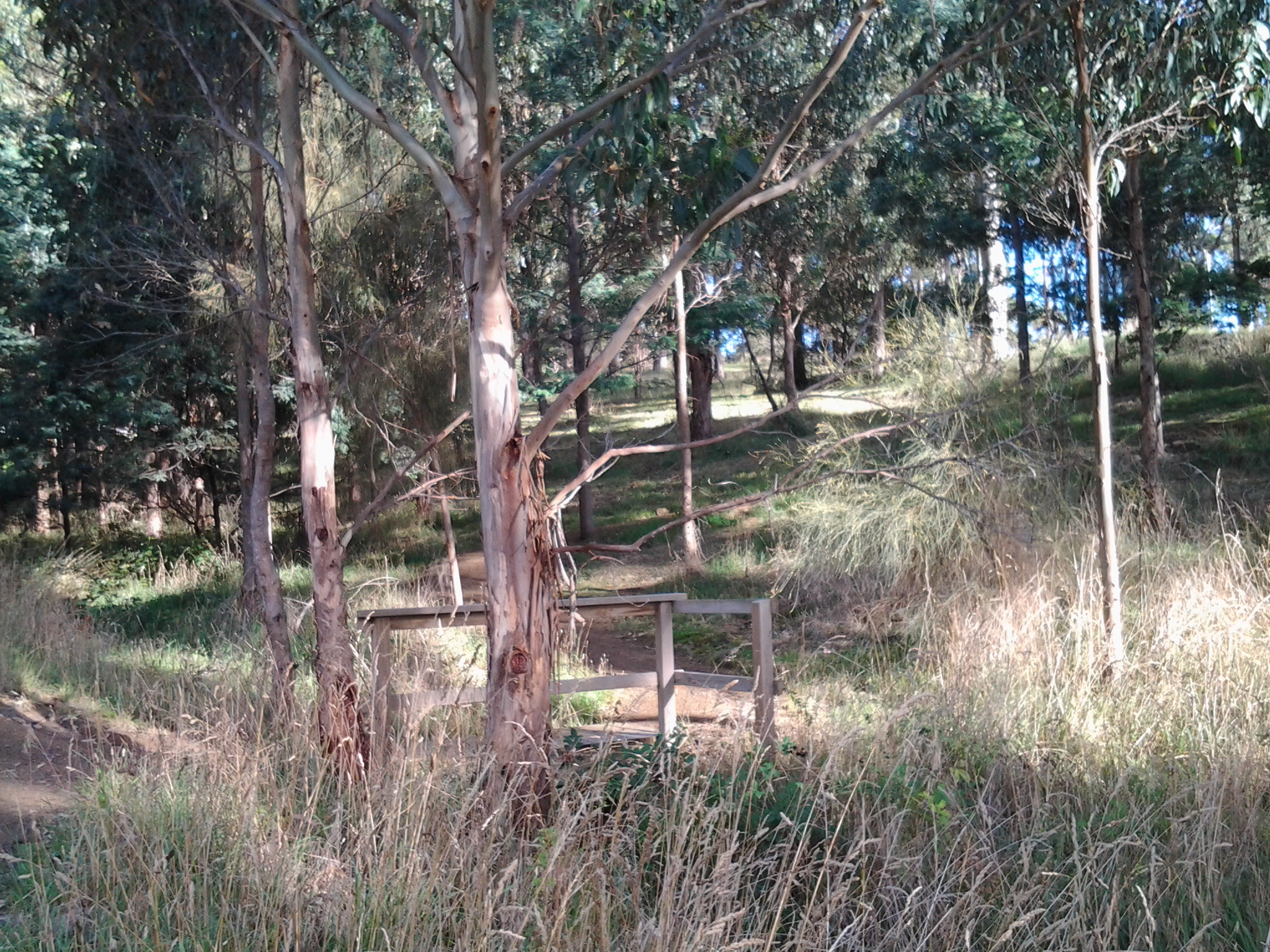
Over the road was a delightful short zig zag track down to an unnamed creek, with a small foot bridge to ensure easy access to the other side.

20150224_084156

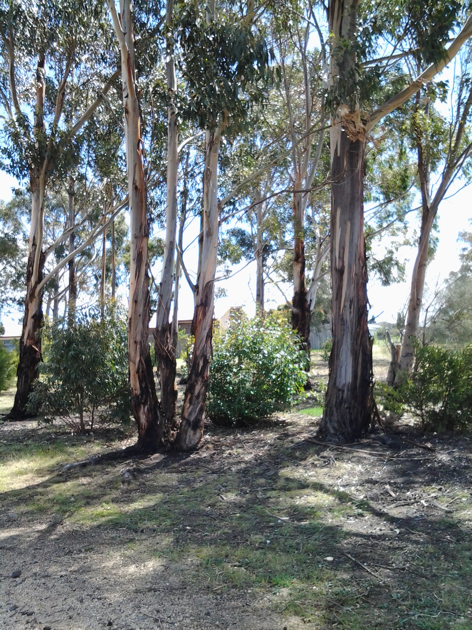
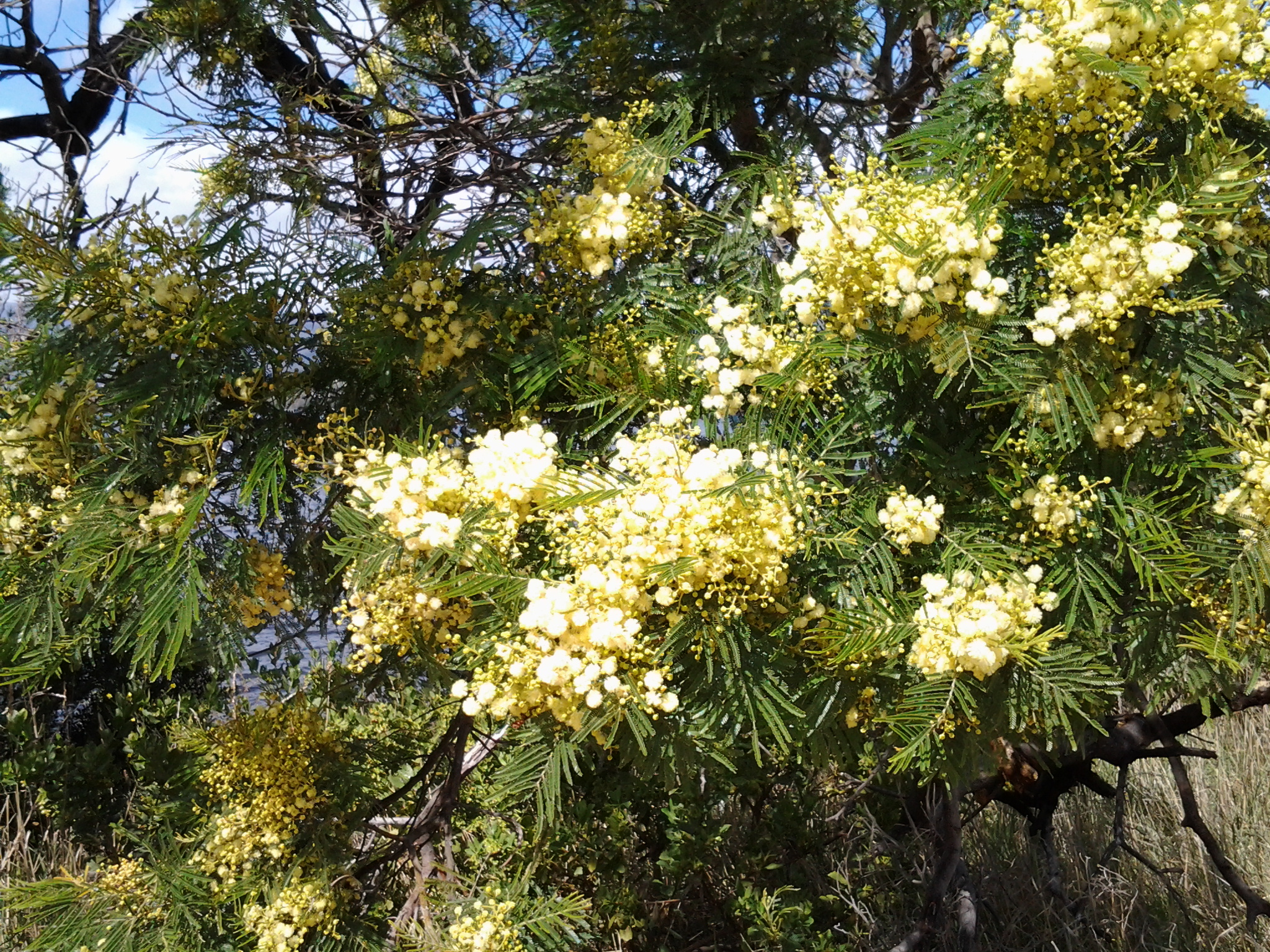
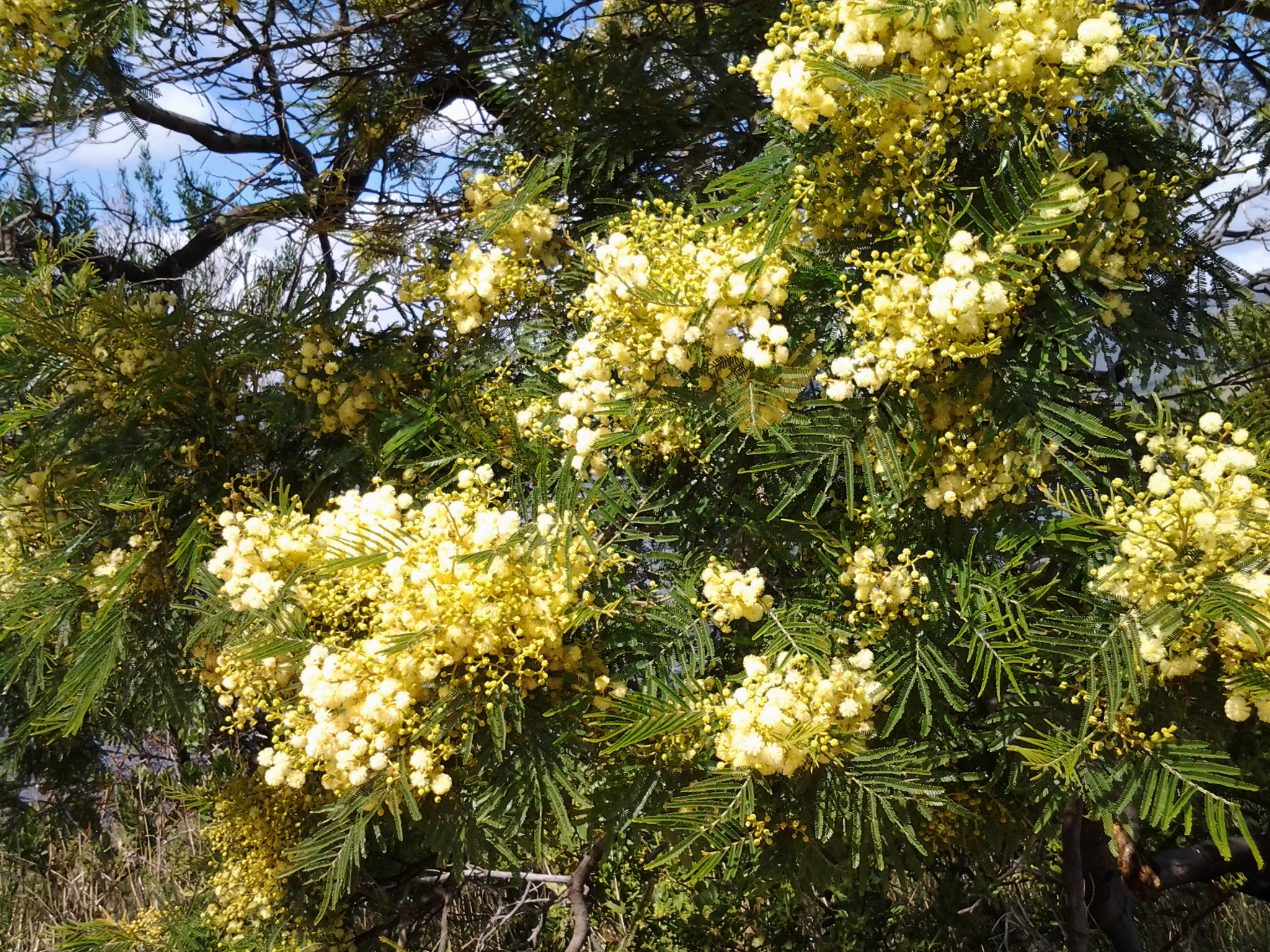
I walked through a peaceful grove of gum and wattle trees and found, on the other side, a sign indicating I could walk left or right on a bush loop. I turned left towards the River.  When the loop turned inland away from the River I rechecked my maps and could see the track would never be near the River. I made the decision to retrace my steps and began to continue inland with the intention of reaching Tinderbox Road.

I walked on a gravel track next to the creek until I reached a most unexpected site: a very large area fenced in and designated as a Dog Exercise Area. This is set up with tyres for dogs to jump through, and rows of poles that dogs can practice some sort of slalom around. As I walked past, a massive mowing tractor-like piece of equipment rumbled up and down the large paddock shaving the grass.

20150224_085455

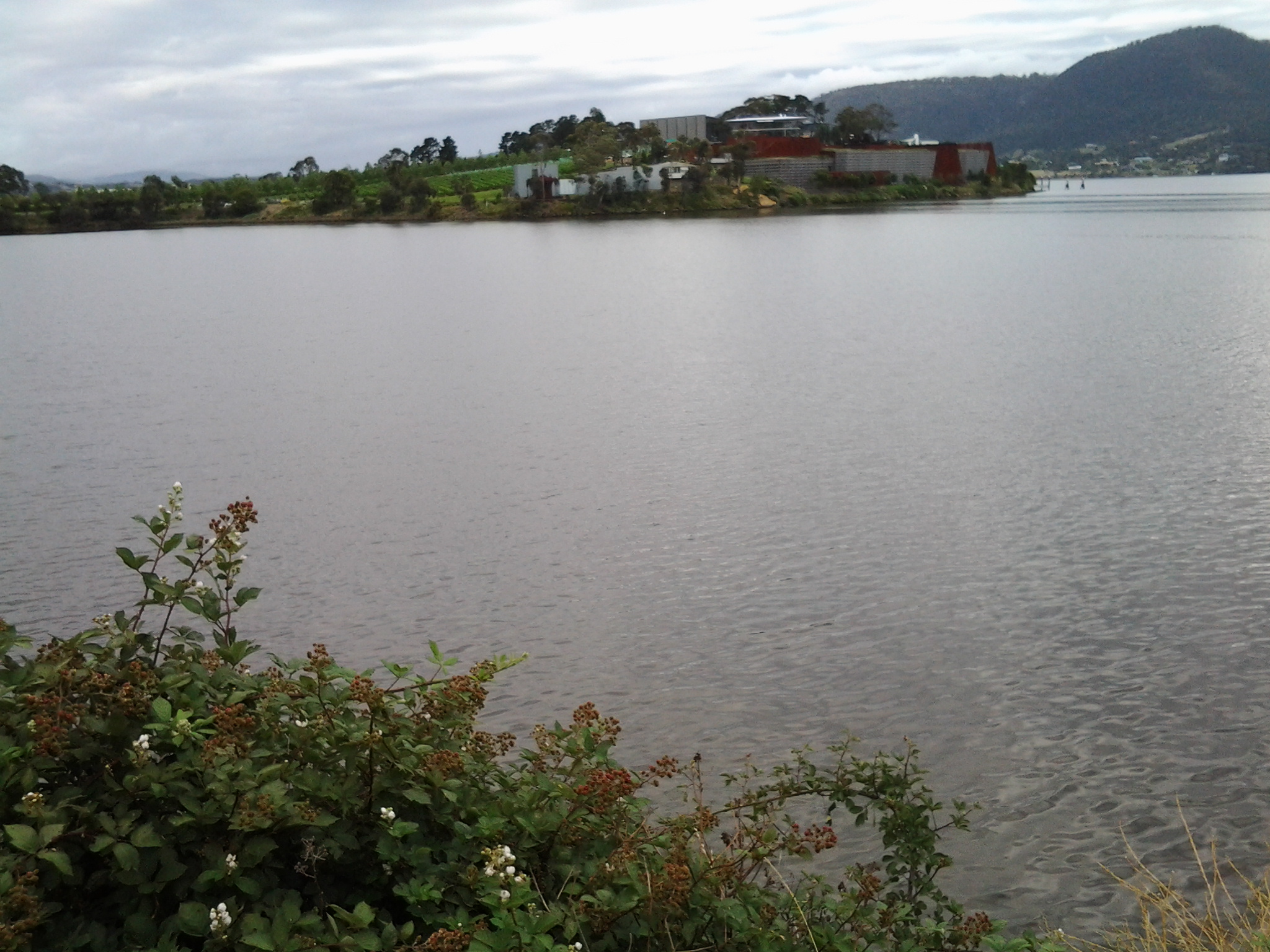
Blackberries galore, waiting to be picked for the pies, lined the creek side of the track next to the Dog Exercise Area.

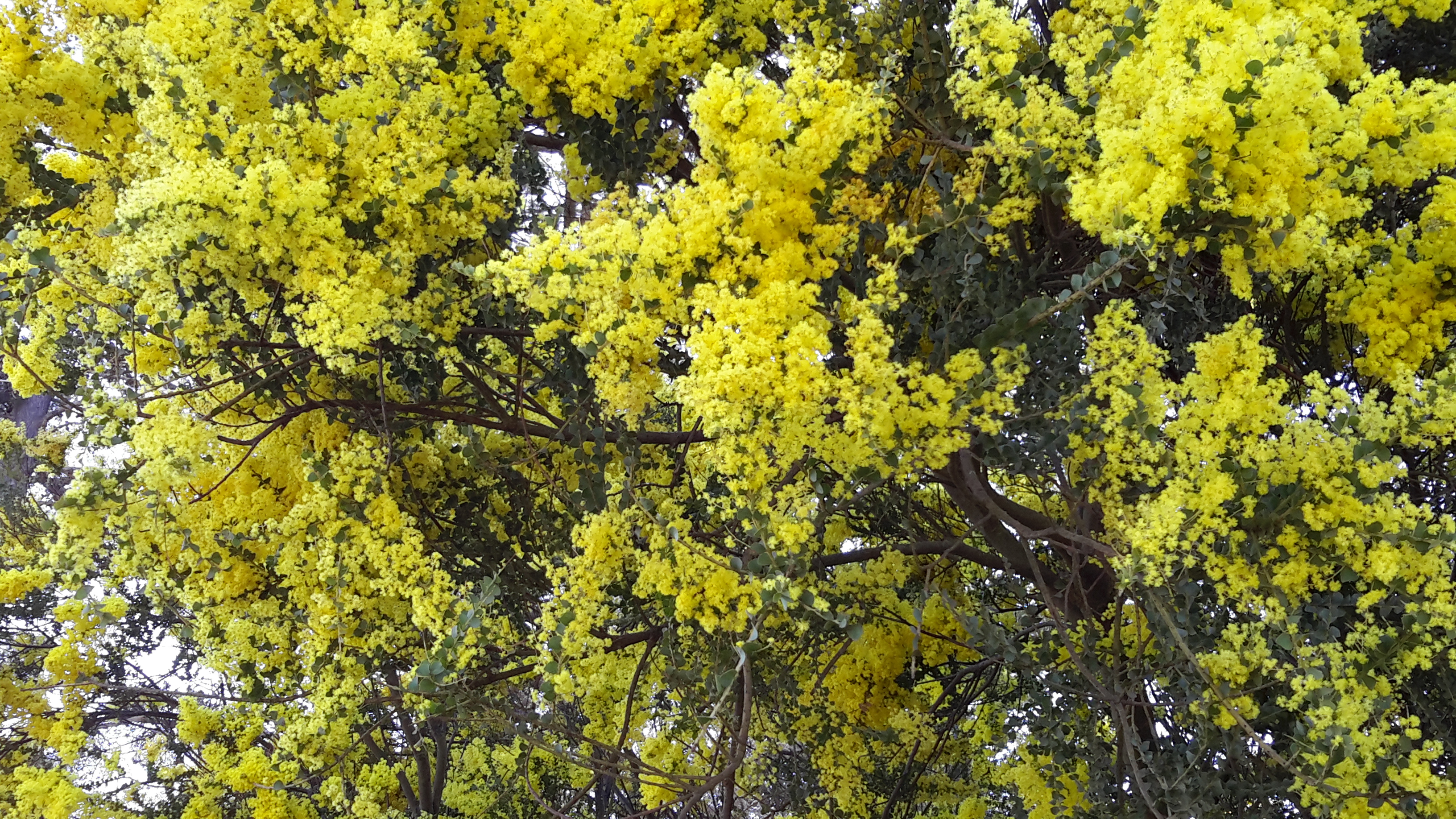
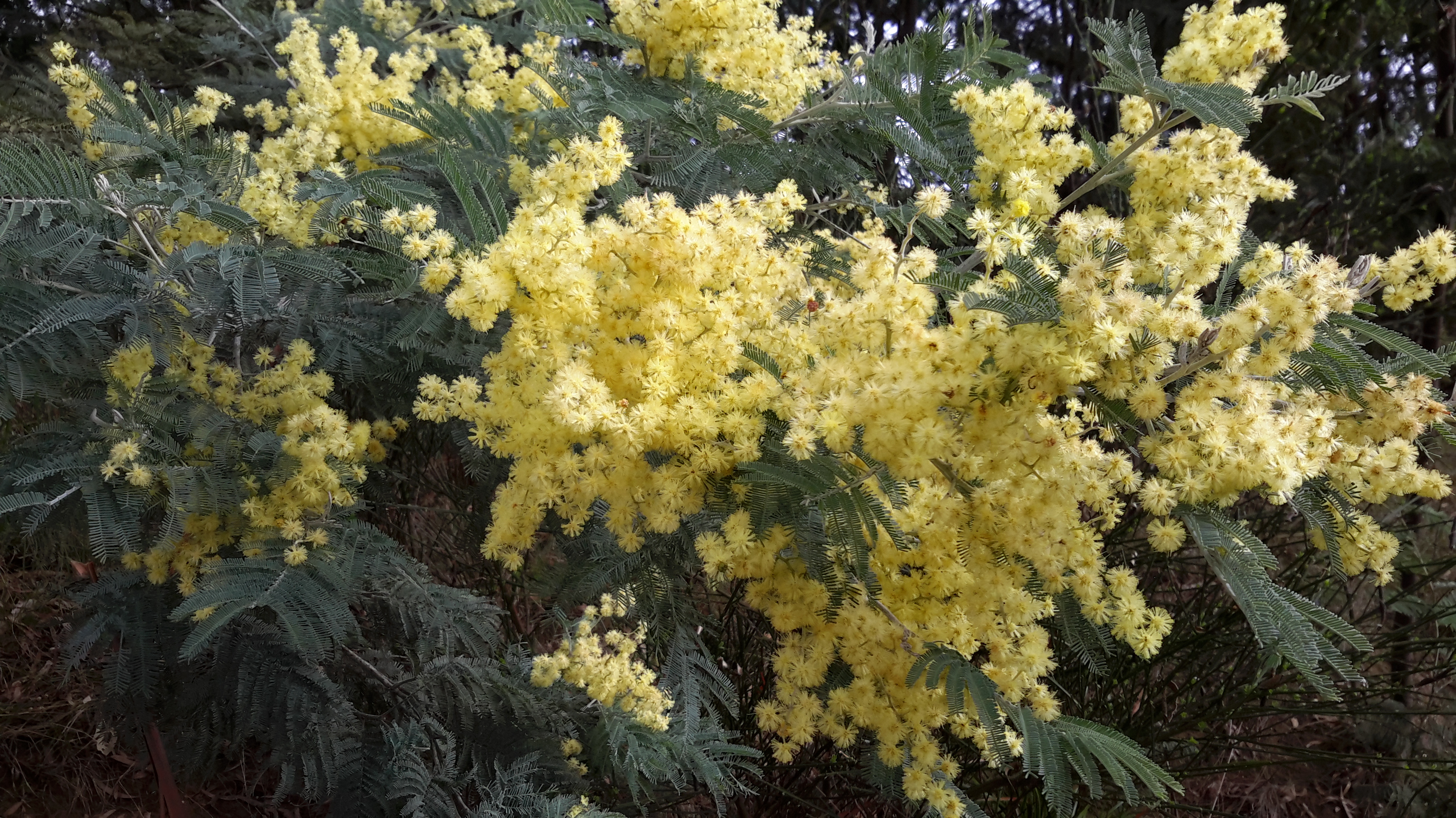
A few minutes before 9am, I turned left onto the bitumen road that went downhill to the Sewage Treatment Plant and uphill to Tinderbox Road. On the uphill trek I walked between the dense bush and flitting bush birds while listening to their bush songs: Tweets, Chirps, Squeaks and Warbles.

The day was perfect for walking so I began to wonder whether I should aim for the mouth of the Derwent River at Pearsons Point, rather than Fossil Cove many kilometres before the final headland.  As I continued up Treatment Plant Road, and past the Blackmans Bay Scouting Camp buildings (for Joeys, Cubs, Scouts and Venturers) the temptation to head to the mouth strengthened. I reasoned that the day was young, the weather wasn’t too hot or cold and it wasn’t raining, and my feet hadn’t failed me.

At Tinderbox Road I turned left a few minutes after 9am, with the resolve to reach Pearsons Point.

Starting stage 8 of my walk along the Derwent River

My starting point was the jetty half way through Old Beach on the eastern shore, and to reach this from my home in Bellerive on the eastern shore of the Derwent River was not straightforward. There are no direct buses from Bellerive to Old Beach.

Instead, I left home at 6.45am (way too early for my liking but no other choice), passed three Black Cockatoos feasting on a native tree in a private home (one acted as a sentry high up while the others gorged themselves), walked to the Eastlands bus mall and caught the first bus through to the bus mall in Elizabeth St in Hobart’s CBD. At 7.17am the X1 express bus to Glenorchy in the northern suburbs of the Greater Hobart Area (and beyond) departed. This arrived at 7.35am at the Glenorchy bus mall and, anticipating public toilets would be non-existent for my walk, I walked over to the Northgate shopping centre to use their facilities. I was back at the bus mall in time to catch Metro bus 126 to Old Beach which departed at 8am. At 8.20am I stepped off the bus ready for the day.

The sky was overcast and I was wearing a thermal top over my T-shirt and topped with a fleece jacket.  Blowy. Hard air hitting my face.

Since there was no direct water access from the jetty northwards, I walked through the suburban streets staying on the hard concrete footpaths. Plovers and Blackbirds were my constant companions and extravagant blooming roses and wattles perfumed the air. It was rubbish removal day and the streets were lined with bulging large faded red wheelie bins and yellow lidded green bins. The wind had lifted many lids and these were thrown back as if saluting when on parade (a vision that friend Jo exclaimed he saw).

At 8.33am I reached the intersection with the East Derwent Highway and lost a footpath. I turned left and walked beside the highway where it was obvious a few other people had walked but there was no formal pathway. At this point I could see the water of the Derwent River but I was not close. It was clear that property owners had fenced and gated off any access to the River and I need to determine whether they had the right to do this in all cases.  I continued on the Highway noticing the signpost to the Bonorong Wildlife Park and Compton Agistment Centre marking the turn off from the highway away from the River.

Not much further along I saw a track between new houses on the left and followed it then through the grassy bushland but, as lovely as it was, it was impassable offering no easy way to the River and so I had to retrace my steps. At 8.54am I was back on the Highway walking to the left of the guard rails (so that I wasn’t directly on the Highway) on rolling gravel where a path was never intended.  Then the guard rail disappeared so I walked carefully as far off the road on the narrow verge as I could.  Sometimes I walked in the ditch. By 8.58am I was passing Compton Road and at 9.01 I reached Clarrie’s Creek. I began to disrobe as the morning and the exercise began to warm me: off came my thermal top.

The perfume from the flowering wattle trees was invasive and pervasive in the nicest way.  Please feel free to use any of the photos below as a screen saver. I have.

20141111_103700 20141111_103704 20141111_103708 20141111_103711 20141111_103716

Continuing along the Highway, I walked up an incline until I could turn left on a bitumen roadway. This was blocked by a gate, but there was walking space around this, used by others. I had reached the newest part of Old Beach on its own rounded headland. Once past the gate I turned left towards the Verve Village site office signs and walked on. Through the mesh fence to my right I could see the Verve café, not open. The time was 9.10am.

Not long afterwards I was snapping photos of the low mountains and hills across the Derwent River on the western shore. Grandly beautiful in a simple way.

20141111_091212  20141111_091128

This ‘roadway’ eventually ended at a locked gate but again a regularly padded informal path was clearly visible around the obstacle.  I turned left and 100 metres along, a yellow gravel path appeared. The path had no sign but I hoped it was a foreshore trail and followed it. It was.  A trail with almost no signs of animal life except a massive black furry feral cat bounding away and a sole man out for exercise.  Crows carrhh carrhh carrhhed in the distance and overhead. Casuarina trees edged the path and through them the woodland was open and airy. Water lapped onto the shore. Mudstone rocks edged out of the soil on the banks. I enjoyed a flash of colour when I noticed yellow and orange flowering nasturtiums that had escaped from a suburban garden into the bush.

The photos below show a view southwards to the River from the first 100 metres of the path.

20141111_091838 20141111_091955  20141111_092155

The foreshore trail was easy to follow, wide and clear.

20141111_092752

At 9.36am I reached the point where the Derwent River and Gage Cove met.

20141111_093443

The trail curved into the Cove but not before a man-made construction, to the right of the path, seemed to flush deep below and then a dreadful stink followed. I tried not to think what was going on there.

20141111_093606

By 9.42am I was walking up into the suburb having enjoyed watching black swans floating around in the Cove, and a few minutes later I reached a gate which, as usual, I walked around.  I turned left and followed the road from the cul de sac amidst the noise of every neighbourhood dog barking to indicate a stranger was nearby.  Me.

At 9.45am I turned left at the T junction and by 9.48am I reached the intersection of Stanfield Drive with the East Derwent Highway.  Continuing on I could look down in Gage Cove with its coating of red algae or some other red plant.

20141111_100127

So far my morning had gone well and I was enjoying myself. Also, I was pleased that I had finished passing through all parts of the suburb of Old Beach and was ready for the next suburb.

Major milestone achieved on 8th stage of my walk along the Derwent River

Originally, I decided to walk the length of Tasmania’s Derwent River without research, foreknowledge of the challenges, and without determining the possible milestones.

With hindsight, actually starting the walk and reaching the Bridgewater Bridge were my two main milestones held subconsciously and not recognised at the time.

In late August this year I started at the southern tip of the South Arm peninsula (Cape Direction) and today I have not only reached the Bridgewater Bridge but crossed it and started the walk back towards the mouth of the Derwent River on the western shore.

I am rather amazed that such a thing is possible; to walk such a distance in this day and age and to do so for pleasure doesn’t seem quite real. And yet it is truly possible, even when my feet feel permanently crippled and I want to crawl. Just one foot after the other and it doesn’t matter how long it takes me to put one foot in front of the other. It only matters that I keep doing it. And then and only then can such milestones as today’s be achieved.  And celebrated, which I am about to do.

I was also mindful that today Australia marked the ANZAC soldiers killed and injured in the World Wars and others more recently with Remembrance ceremonies and a minute’s silence across the nation at 11am (on the 11th day of the 11th month). I have nothing to complain about and only much for which to be grateful. The photo below was taken close to the Bridgewater Bridge on the eastern shore.

20141111_131254

Over the coming days, I will write detailed postings of today’s walks through the suburbs of Old Beach, Herdsmans Cove, Bridgewater and starting into Granton South; the areas that I have passed and the trails that I have followed. For now it is enough to know that I have walked yet again, and the countryside and cityside has simply rolled along beside me.

Today I was away from home for almost 9 hours partly because the walking area was relatively difficult to access and leave from by public transport. Some waiting and bus changes were required. Of these hours, just under 5 hours were involved with walking from the starting point in Old Beach to the start of the Bridge, and 1/2 hour was involved from the Granton end of the Bridgewater causeway until I jumped on a bus somewhere in Granton South. Including crossing the Bridge, I walked approximately 16 kms.  Approximately 14 and1/4 kms on the eastern shore, and 3/4 km on the western shore by the Derwent River. So far I have walked 93 kilometres.

At the end of the 7th stage of my walk I had covered 34kms of the length of the Derwent River. Add another 4.5kms for today’s 8th stage and the total distance from the mouth of the Derwent River to the Bridge on the eastern shore is 38.5 kms as ‘a crow might fly’ more or less straight down the centre of the River (by my reckoning – perhaps others will argue). The length covered today of the Derwent River from the Bridge southwards on the western shore is about 1/2km.

Before each stage of my walks along the Derwent River, I have been somewhat nervous about how everything will go and how my body will hold up, yet there has never been any event or location that has turned out to be a problem. My walks have been ‘smooth sailing’. This morning I was particularly anxious because of the less savoury activities of some of the people who live in Herdsmans Cove and Bridgewater. I was also thinking about Tasmania’s ‘ice’ epidemic and remembering that some addicts can go for 7 or more days without sleep and therefore can be totally irrational. I was hoping not to encounter any unpleasantness and I didn’t. So I am delighted to report that today’s walk was safe, beautiful and calm. Quite marvellous in its simplicity.

The photo below is a close up of wattle blossom. The seductive heady perfume surrounded me most of the day.

20141111_103716