Tag Archives: Granton South

A new milestone marking the 13th stage of my walk along the Derwent River: I reached the mouth on the western shore. Whoppee Doo!!

Yesterday, I completed the first part of my walk along the Derwent River: an exciting achievement.

Last August I started walking from the mouth of the River at Cape Direction on the tip of the South Arm peninsula and now, at the end of February, I have completed the distance from that mouth to the Bridgewater Bridge and back on the western shore to Pearson’s Point near the settlement of Tinderbox.

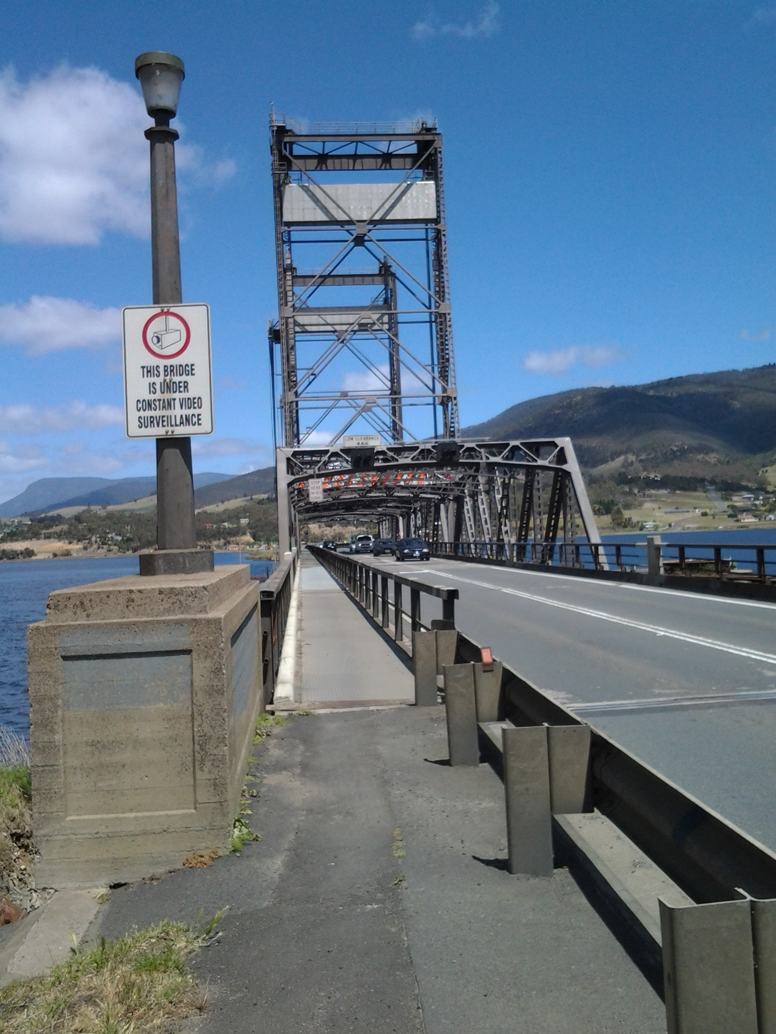
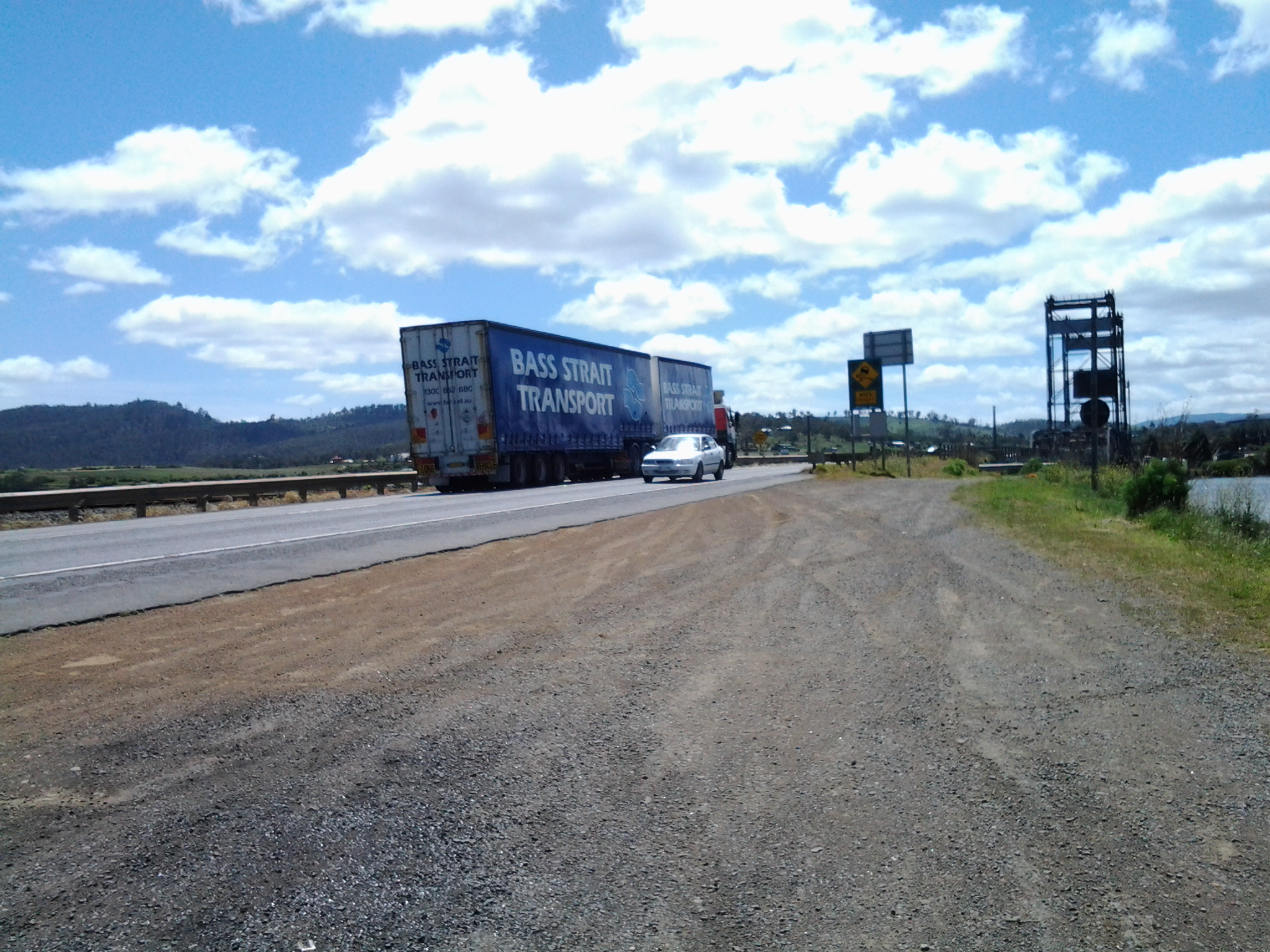
On the 8th stage mid-November, I had the first major milestone when I finished the walk from Cape Direction to the Bridgewater Bridge. This 13th stage was the culmination of walks from the Bridge back to the mouth on the western side of the River.

During yesterday’s walk, I covered about 5km of the length of the Derwent River.  By my reckoning, the total distance of the Derwent River on the western shore from the Bridgewater Bridge to the mouth is 38 3/4 km.

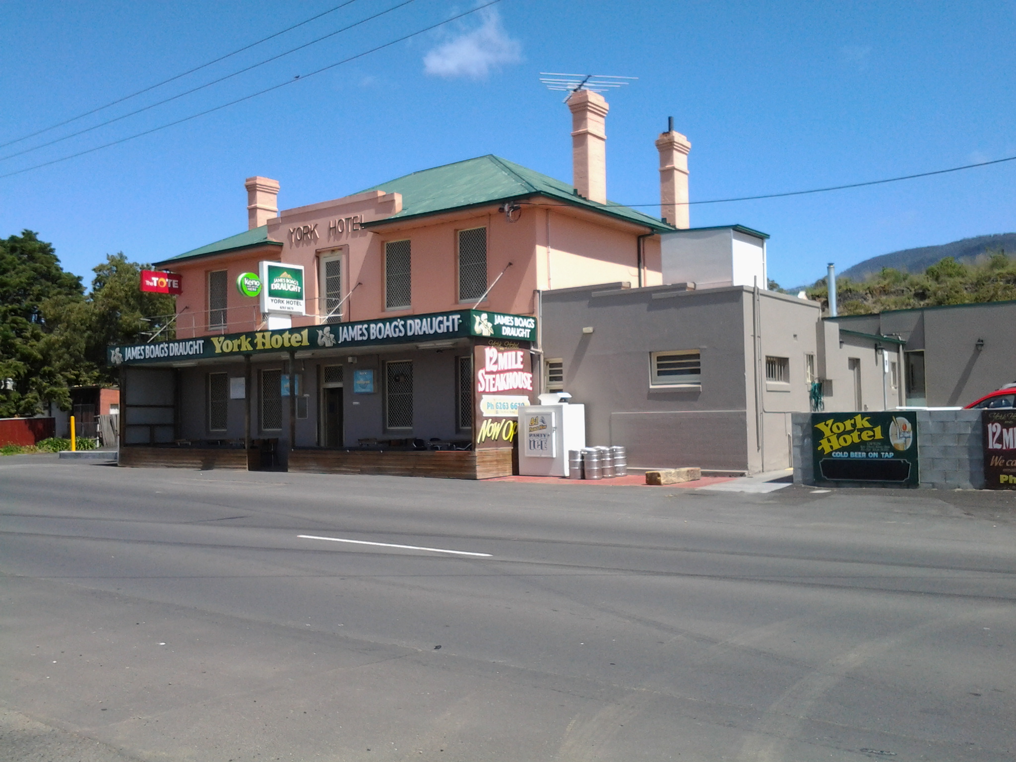
For Stage 13 yesterday, I needed to walk to Pearson’s Point from the bus stop where I finished on Stage 12 and then, on reaching my goal, I needed to retrace my steps back to Blackmans Bay to connect with a bus that could return me to Hobart.  This distance was approximately 17 kms. I have now walked at least 171km not counting getting to and from buses.  But when the walks are staggered over time, this number does not mean much.

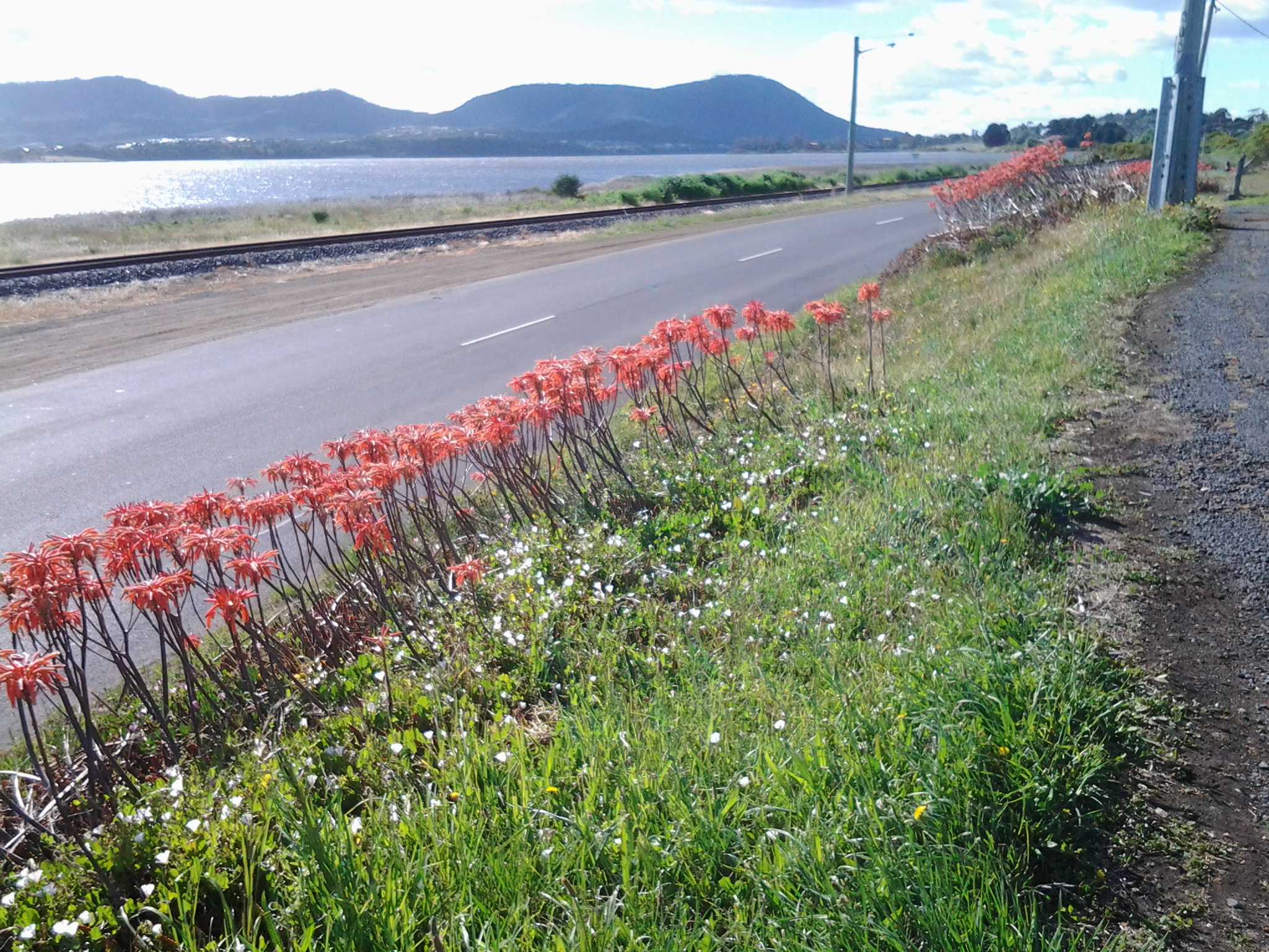
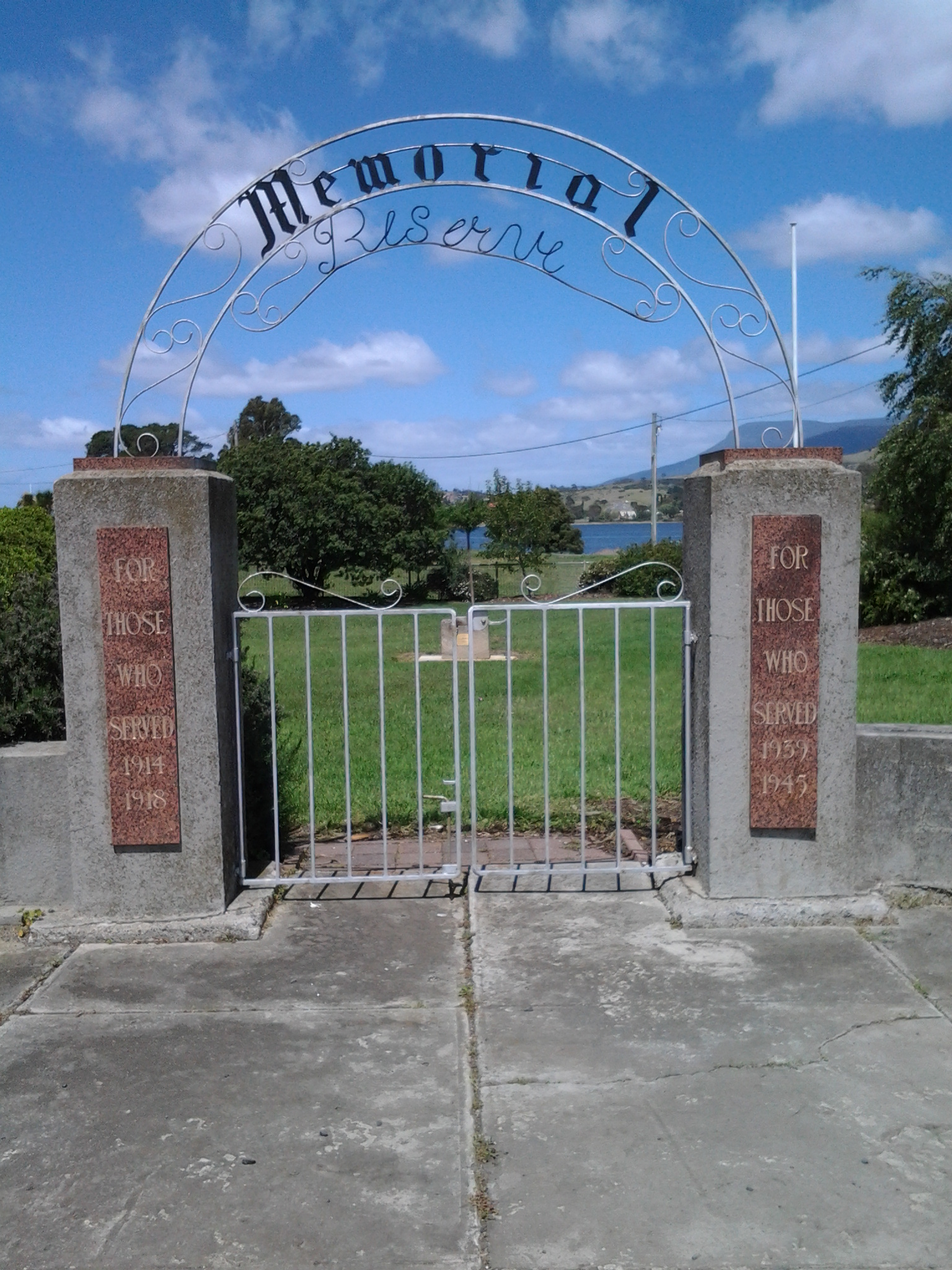
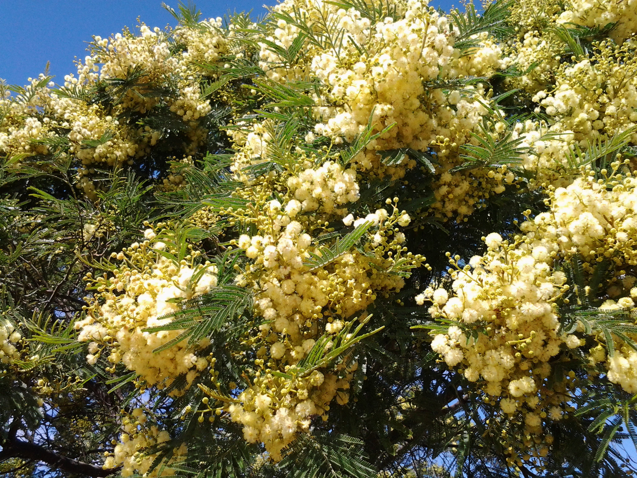
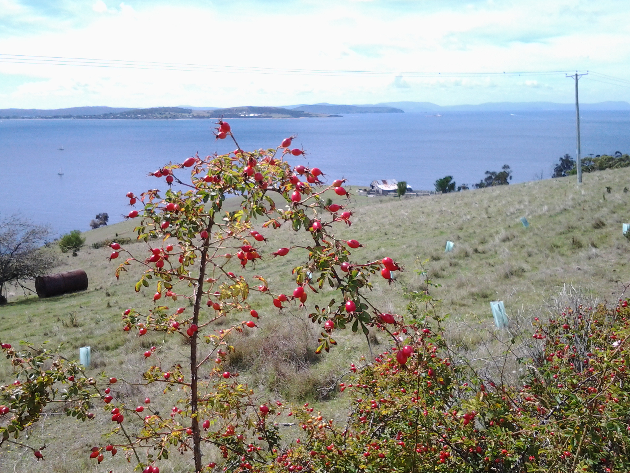
The highlights of the walk to Pearson’s Point were mostly small and natural: rosehips, green rosellas, hum of bees, resting sheep, and the taste of delicious ripe blackberries along the way.

20150224_103540

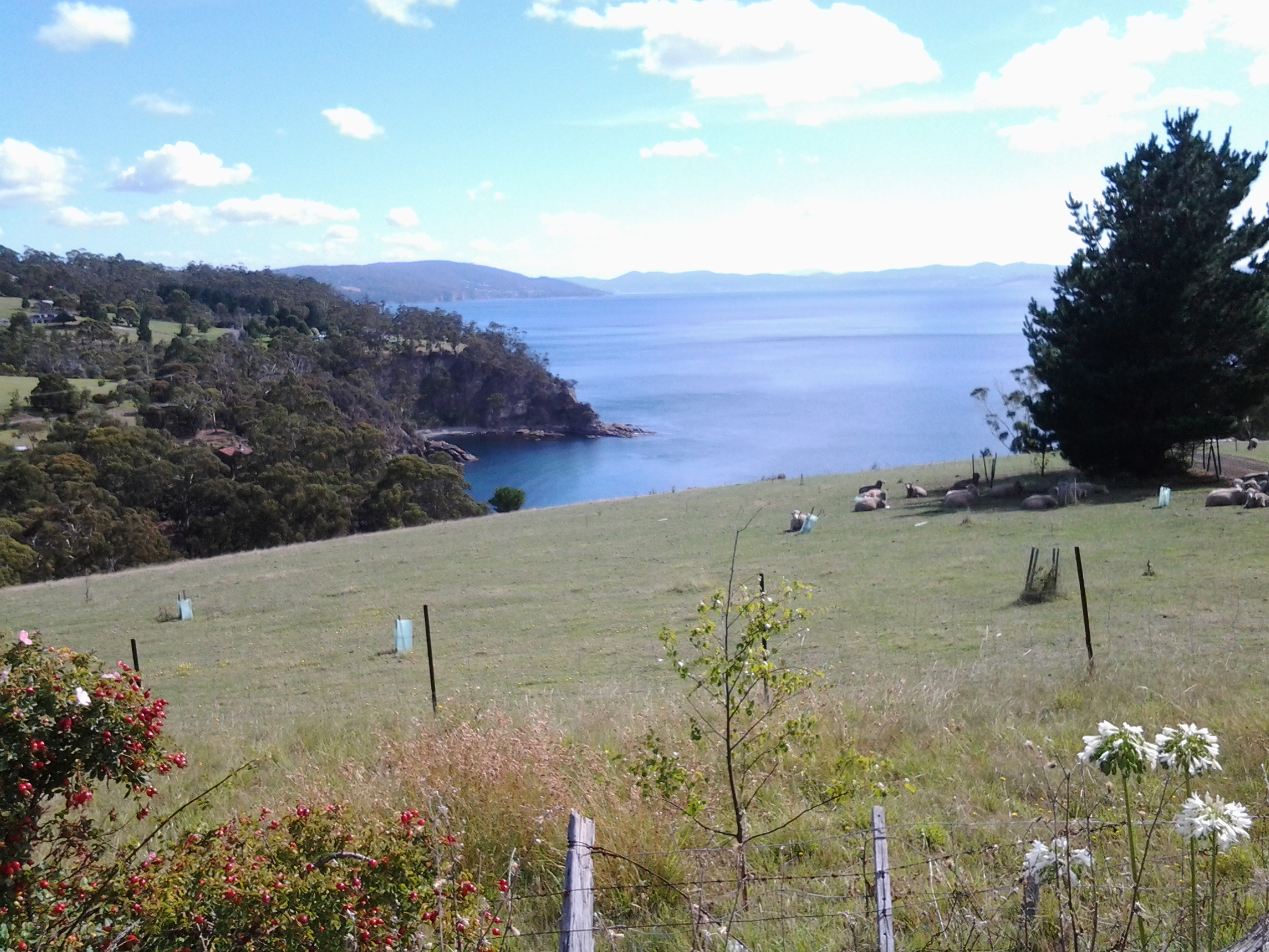
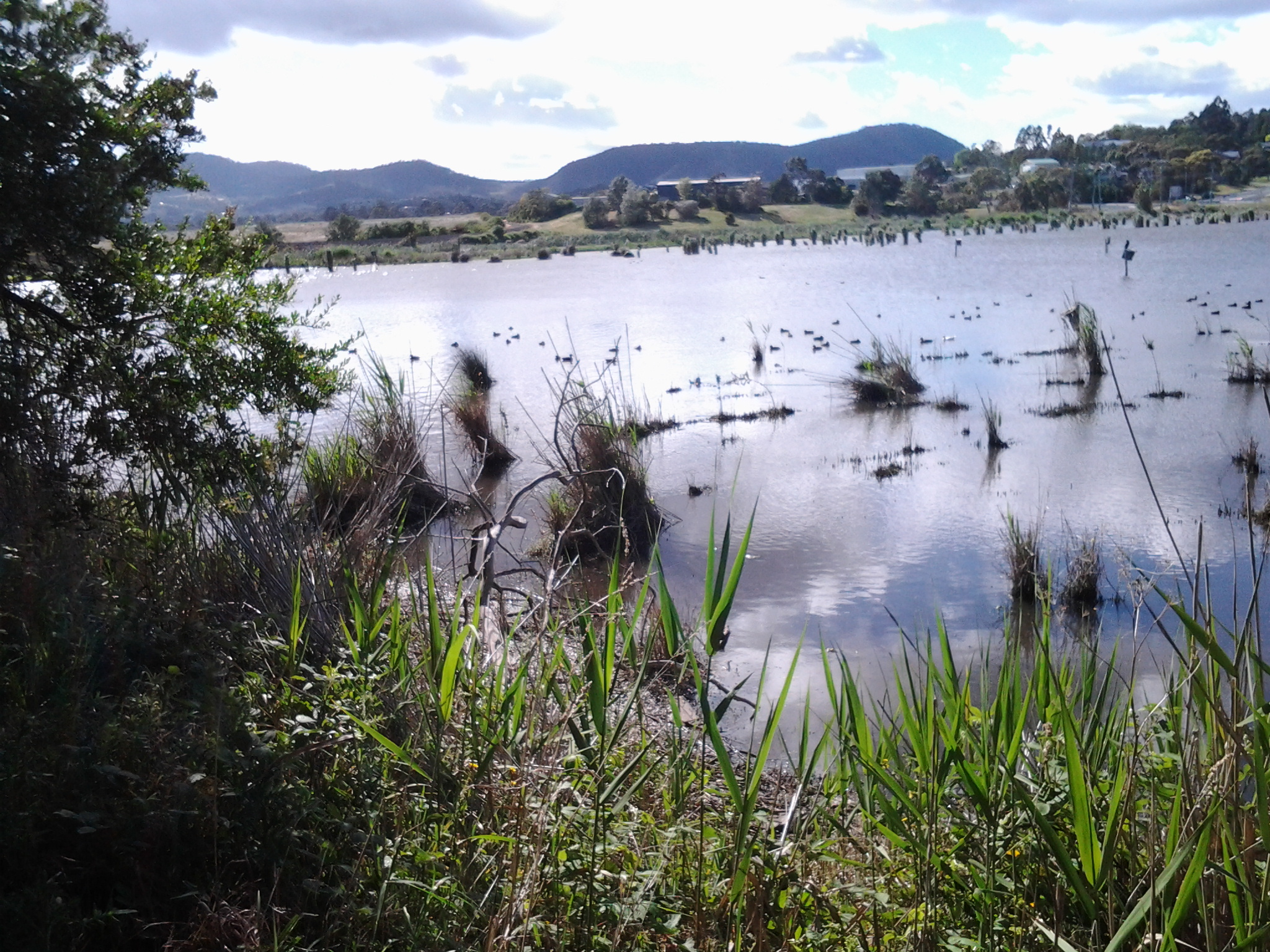
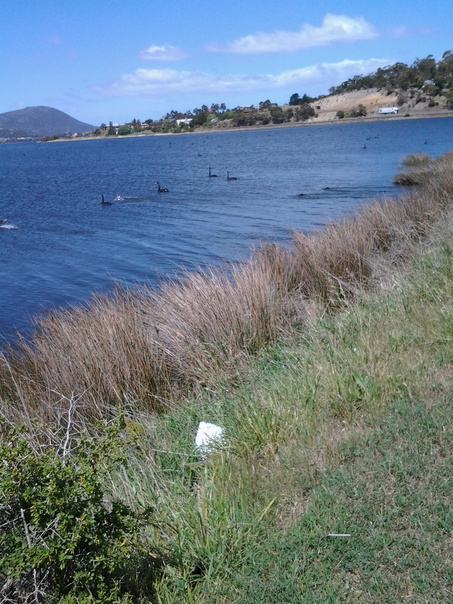
I was surprised how close the northern part of Bruny Island was to the mainland of Tasmania (almost felt like I could swim across the D’entrecasteaux Channel) and I felt overwhelmed by the staggeringly expansive and grand views across and up and down the Derwent River.

20150224_114137

The fun part was singing (including mixing up the words in my excitement) Handel’s Hallelujah chorus (from The Messiah) at the top of my voice when I passed a large sign with the words SING. You can listen to a superb version performed in 2012 by the Royal Choral Society at the Royal Albert Hall in London England at https://www.youtube.com/watch?v=IUZEtVbJT5c

https://www.youtube.com/watch?v=IUZEtVbJT5c

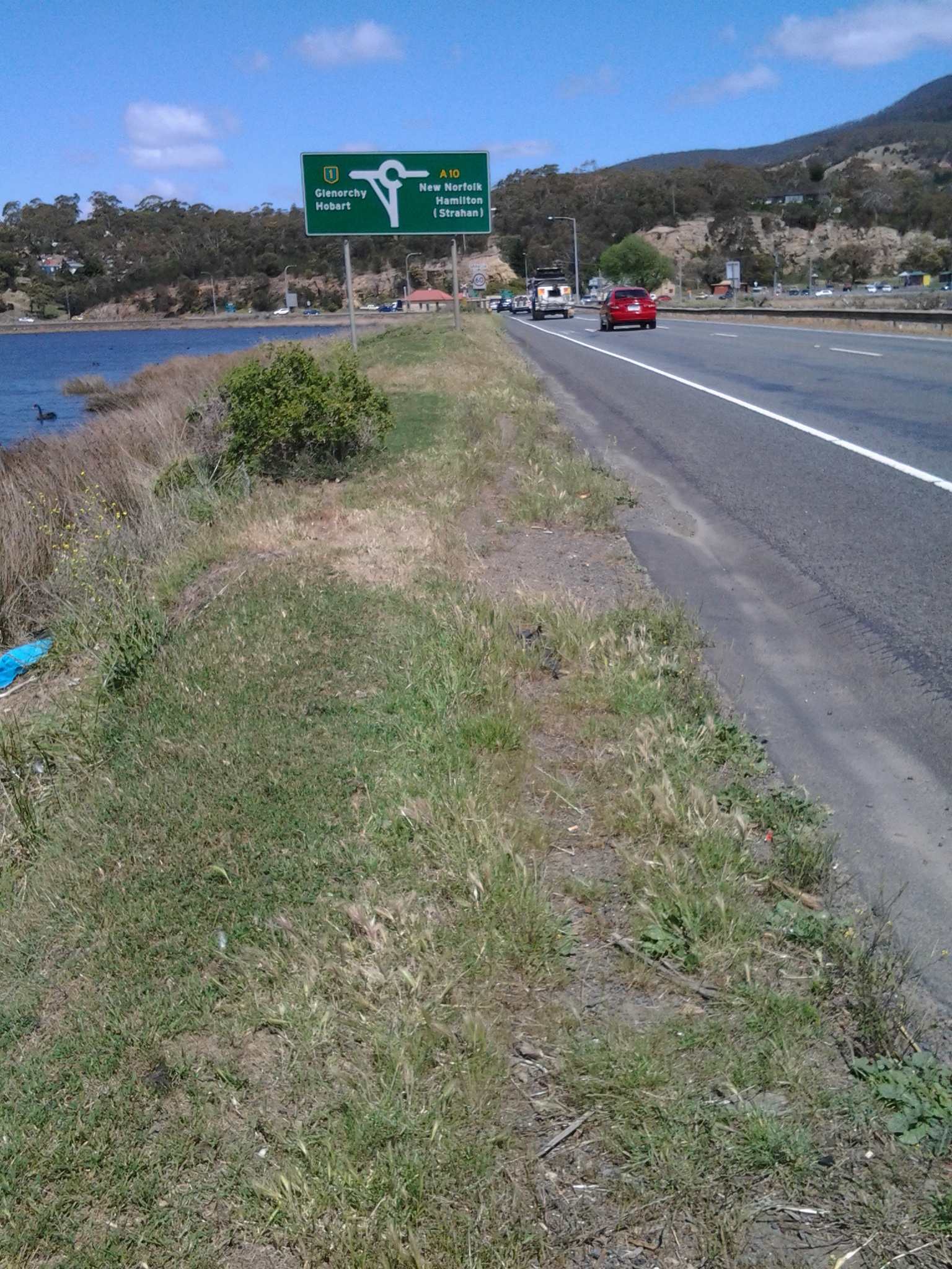
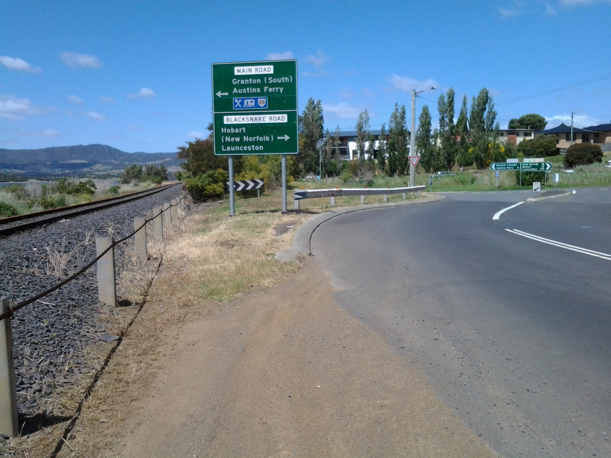
Over the next few days I will write up the journey and the discoveries of Stage 13’s walk.  Then I will be looking towards a long main road walk from the Bridgewater Bridge at Granton to New Norfolk which I expect to undertake in the next couple of weeks.  Once I have reached New Norfolk I will be on the way to Lake St Clair, the source of the Derwent River.

Starting last Tuesday’s 9th walk along the Derwent River

On the first leg of this stage at 8.26am, I started by walking south on the Main Road from the York Hotel in Granton South with a view of white capped wind-blown waves on the Derwent River next to me, and the suburb of Bridgewater across on the other side.

20141125_082909

At 8.42am I passed the Lagoon General Store and Servo and by 8.49am I had reached the start of a pathway leaving from the Main Road and leading around the Goulds Lagoon Bird Sanctuary. This was a peaceful alternative to the noisy main road. All manner of wild fowl, other birds, animals and plants could be seen including ducks, rosella parrots, rabbits, wild mushrooms, seagulls, handsome gum trees with their fresh smell of eucalyptus, and a cluster of spectacular Eastern Great Egrets. Spotted across the Lagoon were bird-breeding boxes.  The air was deliciously moist and the grass was high. This was not a track for those in wheelchairs, pushing prams or walking with crutches.

20141125_085659  20141125_085652

By 9.07am I had circled Goulds Lagoon and was back on the main road at the edge of the Hestercombe Reserve.

20141125_090822

Continuing southwards, I passed by the area known as Ten Mile Hill without trying to squeeze through barbed-wire topped gates blocking roads to timber mills and other ‘private property’. By 9.24am I had reached the northern end of St Virgil’s College with its signage indicating ‘private property’.  Effectively these businesses and educational institutions prevented me having direct access to walk along the Derwent River.  I thought I might walk along the railway line corridor closer to the River, but since it passed through some of the private property I chose not to do so.

9th Stage of walk along Derwent River completed yesterday, Tuesday 25 November

I caught two buses from my home in Bellerive on the eastern shore, via the Elizabeth St CBD Hobart and the Glenorchy City bus malls, to reach Granton on the western shore of the Derwent River in the northern suburbs of the City of Glenorchy in the Greater Hobart Area.

At 8.26am I stepped off the Metro number X1 bus at stop 47 outside the York Hotel in Granton South and, with excitement about what the day might bring, I looked around and admired the view across the River to the suburb of Bridgewater before starting the tramp south.

20141125_082854

No footpaths or walk ways had been laid for pedestrians and so vigilance was required against the traffic on the Main Road. Occasionally a few metres of concrete or bitumen were laid for a new subdivision but generally a track for smooth safe walking was not on offer.

The weather started sunny but during the afternoon rain passed intermittently. In the photo below you can see the grey background blurred by rain, but meanwhile three pelicans were enjoying themselves on Lowestoft Bay.

20141125_150144

Relentless buffeting wind was the main feature all day. As a result, I couldn’t keep my sun hat attached to my head. Needless to say, I returned home with a blasted red face.  But happy from the pleasure of walking, discovery and the fresh air. Being a tourist in my home town is a revelation and a joy.

I walked southwards from Granton South to MONA (the world famous Museum of New and Old Art) at Berriedale and passed through the suburbs of Granton South, Austins Ferry, Claremont and half of Berriedale.

I experienced Goulds Lagoon, Austins Ferry Bay, Rusts Bay, Beedhams Bay, Bilton Bay, Dogshear Point, Windermere Bay, Knights Point, Windermere Beach, Connewarre Bay, McCarthy’s Point, Lowestoft Bay, and Cameron Bay. I plodded around bays and a golf course (I gained special permission to walk this private property but I would NOT recommend anyone else try it – see later postings), had a stopover at Cadbury’s, and hid from the rain in gazebos and art works. All up, I probably walked 18 kms.

Yesterday I covered 9 ¼ km of the River’s length on the western shore. This adds to my previous tally of 3/4km on the western shore making a total of 10kms covered as I trek southwards from the Bridgewater Bridge to the mouth of the Derwent on the western shore.

Specific details of the different legs of this 9th stage walk will be written up and posted in the coming days.

My favourite photo of the day was taken near the end of my walk, when I sat at the point where the southern end of Cameron Bay met the Derwent River (with MONA just over the hill). The water had been frothed by wind and I liked the lacy remnants floating by.  The intense colours are the result of the rich light quality caused by the heavy clouds overhead.

20141125_153054

Granton and Austins Ferry on the western shore of the Derwent River

On my 9th walk along the Derwent I will be passing through Granton South and Austins Ferry.

Granton is the northern-most suburb within the City of Glenorchy, part of the Greater Hobart Area.  I can find no records explaining how it came to be named. Granton and its Harbour in Edinburgh Scotland were not developed until the 1830s.  If the York Hotel in Tasmania’s Granton was built in 1849, possibly there may be a Scottish connection with the naming of the suburb.

Austins Ferry sits adjacent to and south of Granton within the City of Glenorchy.  Wikipedia informed me that this suburb was named after James Austin (1776-1831). Austin was transported to Australia as a convict and arrived in Tasmania in 1804. When he became a free man, the government granted him some land in this area. During the 1810s he had a profitable ferrying business across the Derwent River to the eastern shore. In 1821 the visiting Governor Lachlan Macquarie renamed the village Roseneath, but it has since reverted to its original name.’ James Austin’s original cottage is located (somewhere) in this suburb and maybe I will be fortunate enough to locate it when I walk.

According to http://profile.id.com.au/glenorchy/about?WebID=160, Granton is linked with the suburb of Austins ferry for statistical purposes. In 2011, the joint population was 3,329.  ‘Settlement of the area dates from the early 1800s. Some growth took place in the early 1900s, although significant development did not occur until the post-war years. Most of the houses were built in the late 1960s and early 1970s. Growth continued from the early 1990s, with the population doubling between 1991 and 2011, particularly in Austins Ferry, a result of large numbers of new dwellings being added to the area. Major features of the area include Goulds Lagoon Sanctuary, Poimena Reserve, Hestercombe Reserve, James Austin Park, Roseneath Park, Shoobridge Park, Weston Park and one school.’

According to http://www.homesales.com.au/location/granton-tas/, Granton has a population of 1519 with an average weekly income of $787. The median prices for houses are $375,000. The average house is rented for $610 a week. 94% of people live in houses as distinct from other types of residences. 36% of people fully own their houses/property. Almost 30% are under 30 years of age and only 10% are over 65 years of age. 92% of residents were born in Australia.  By contrast, Austins Ferry has a population of 2221 with an average weekly income of $721. The median prices for houses are $287,000. The average house is rented for $340 a week. 87% of people live in houses as distinct from other types of residences. 31% of people fully own their houses/property. 27% are under 30 years of age and 14% are over 65 years of age. 88% of residents were born in Australia.


Crossing the Bridgewater Bridge during the 8th stage of my walk along the Derwent River

This stage of my walk along the Derwent from the mouth of the River on the eastern shore was the most exciting one so far, because I was reaching a significant milestone.  By my reckoning, it marked the end of the easiest part of the walk to the source of the Derwent River at Lake St Clair. Accordingly, and to continue a walk with relative ease for a while, I planned to cross the Bridgewater Bridge and walk south to the mouth of the River on the western shore, then to start tackling the challenging kilometres further north next year.

I was a little surprised how special the day seemed, and so it was an easy decision to cross the Bridge rather than waiting to do so on Stage 9.

20141111_131436

I stepped onto the path on the left of the Bridge at 1.14pm and was off the Bridge and onto the Bridgewater Causeway by 1.20pm. The terrifyingly large fast trucks threatened to suck me off the bridge with their speeding surges next to my shoulder (there was a metal fence separating us but the bridge noise and vehicle speed all combined to make the energy around me vibrate fiercely). I removed my sunhat and held on firmly.

20141111_132207  20141111_132150

Except for a small layby, there was no formal walking track beside the Highway on the Causeway, and trying to walk on extremely unsafe and uneven ground beside railings (or none) required extra vigilance.

Looking ahead of the western shore, from the Bridgewater Causeway.

20141111_132218  20141111_132743

The persistently noisy and fast traffic (on what must be one of Tasmania’s busiest roads – the Midlands Highway) and the wind pushing across the Causeway from one side of the Derwent River to the other were constants, and I was determined they would not distract me from getting to the western shore. I was not the only one walking across the causeway; two others were following me across.  So, on the sample of three people, I would say 100% of people experience danger walking across the Bridgewater Causeway.  I didn’t take photos of the really dreadful bits – too busy concentrating on where my feet might go.

I did enjoy watching the dozens and dozens of Black Swans, and looking back at part of the suburb of Bridgewater on the eastern shore.

20141111_132202

And towards the western shore:

20141111_132810

20141111_132913

I reached Granton on the western shore at 1.35pm and negotiated myself along the road and across old train lines (this would all be easy if there was no or minimal traffic) all the time beginning to move southwards. Three minutes later I reached the sign indicating a left turn off the Brooker Highway towards Granton South and Austins Ferry.

20141111_134311

As I stepped in this direction I recognised a sign marking the start of the City of Glenorchy.

Occasionally I looked back towards the Bridgwater Bridge, across the railway line that was one a lively link between northern and southern Tasmania.

20141111_133556  20141111_134208

I followed a rough non-path on the edge of the road until a new sign at 1.45pm indicated I needed to take another left turn towards Granton South and Austins Ferry.

20141111_134416

As I walked around the corner, on the right in the distance I could see a hotel; the York Hotel.

20141111_134856

I felt myself glow with delight in anticipation of making this my stopping point for the walk, enjoying a cold beer and meeting the locals. However, as I got closer, two locals were walking towards the bus stop Number 47 located opposite the Hotel.  They let me know that a bus was expected in the next few minutes. My feet hurt, it would be quite a while before another bus would pass this way, and so I decided to forego the pleasures of the pub and start my bus trip home. The locals led me to believe the publican ‘has done a really good job’ and ‘this is a good pub now’.  So, perhaps with friends in the future, I will venture back here for the missed cold one.

I was on the bus at 1.57pm, reached the Glenorchy Bus Mall at 2.15, and caught the Metro bus 694 via Risdon Vale to the Eastlands Shopping Centre at Rosny when it left around 2.30pm.  Most of all I was surprised how long it took the bus from the York Hotel to Glenorchy – almost 20 minutes. That represents a great deal of walking time so it is difficult for me to guess where I can reach on the next Stage 9 of my walk along the Derwent River. I am guessing that somewhere in the suburb of Claremont might be achievable, but who knows! Finding out is what gives me something to look forward to next week when I tackle Stage 9 of my walk.

Major milestone achieved on 8th stage of my walk along the Derwent River

Originally, I decided to walk the length of Tasmania’s Derwent River without research, foreknowledge of the challenges, and without determining the possible milestones.

With hindsight, actually starting the walk and reaching the Bridgewater Bridge were my two main milestones held subconsciously and not recognised at the time.

In late August this year I started at the southern tip of the South Arm peninsula (Cape Direction) and today I have not only reached the Bridgewater Bridge but crossed it and started the walk back towards the mouth of the Derwent River on the western shore.

I am rather amazed that such a thing is possible; to walk such a distance in this day and age and to do so for pleasure doesn’t seem quite real. And yet it is truly possible, even when my feet feel permanently crippled and I want to crawl. Just one foot after the other and it doesn’t matter how long it takes me to put one foot in front of the other. It only matters that I keep doing it. And then and only then can such milestones as today’s be achieved.  And celebrated, which I am about to do.

I was also mindful that today Australia marked the ANZAC soldiers killed and injured in the World Wars and others more recently with Remembrance ceremonies and a minute’s silence across the nation at 11am (on the 11th day of the 11th month). I have nothing to complain about and only much for which to be grateful. The photo below was taken close to the Bridgewater Bridge on the eastern shore.

20141111_131254

Over the coming days, I will write detailed postings of today’s walks through the suburbs of Old Beach, Herdsmans Cove, Bridgewater and starting into Granton South; the areas that I have passed and the trails that I have followed. For now it is enough to know that I have walked yet again, and the countryside and cityside has simply rolled along beside me.

Today I was away from home for almost 9 hours partly because the walking area was relatively difficult to access and leave from by public transport. Some waiting and bus changes were required. Of these hours, just under 5 hours were involved with walking from the starting point in Old Beach to the start of the Bridge, and 1/2 hour was involved from the Granton end of the Bridgewater causeway until I jumped on a bus somewhere in Granton South. Including crossing the Bridge, I walked approximately 16 kms.  Approximately 14 and1/4 kms on the eastern shore, and 3/4 km on the western shore by the Derwent River. So far I have walked 93 kilometres.

At the end of the 7th stage of my walk I had covered 34kms of the length of the Derwent River. Add another 4.5kms for today’s 8th stage and the total distance from the mouth of the Derwent River to the Bridge on the eastern shore is 38.5 kms as ‘a crow might fly’ more or less straight down the centre of the River (by my reckoning – perhaps others will argue). The length covered today of the Derwent River from the Bridge southwards on the western shore is about 1/2km.

Before each stage of my walks along the Derwent River, I have been somewhat nervous about how everything will go and how my body will hold up, yet there has never been any event or location that has turned out to be a problem. My walks have been ‘smooth sailing’. This morning I was particularly anxious because of the less savoury activities of some of the people who live in Herdsmans Cove and Bridgewater. I was also thinking about Tasmania’s ‘ice’ epidemic and remembering that some addicts can go for 7 or more days without sleep and therefore can be totally irrational. I was hoping not to encounter any unpleasantness and I didn’t. So I am delighted to report that today’s walk was safe, beautiful and calm. Quite marvellous in its simplicity.

The photo below is a close up of wattle blossom. The seductive heady perfume surrounded me most of the day.

20141111_103716