Tag Archives: Kingston

Video stories and the Derwent River

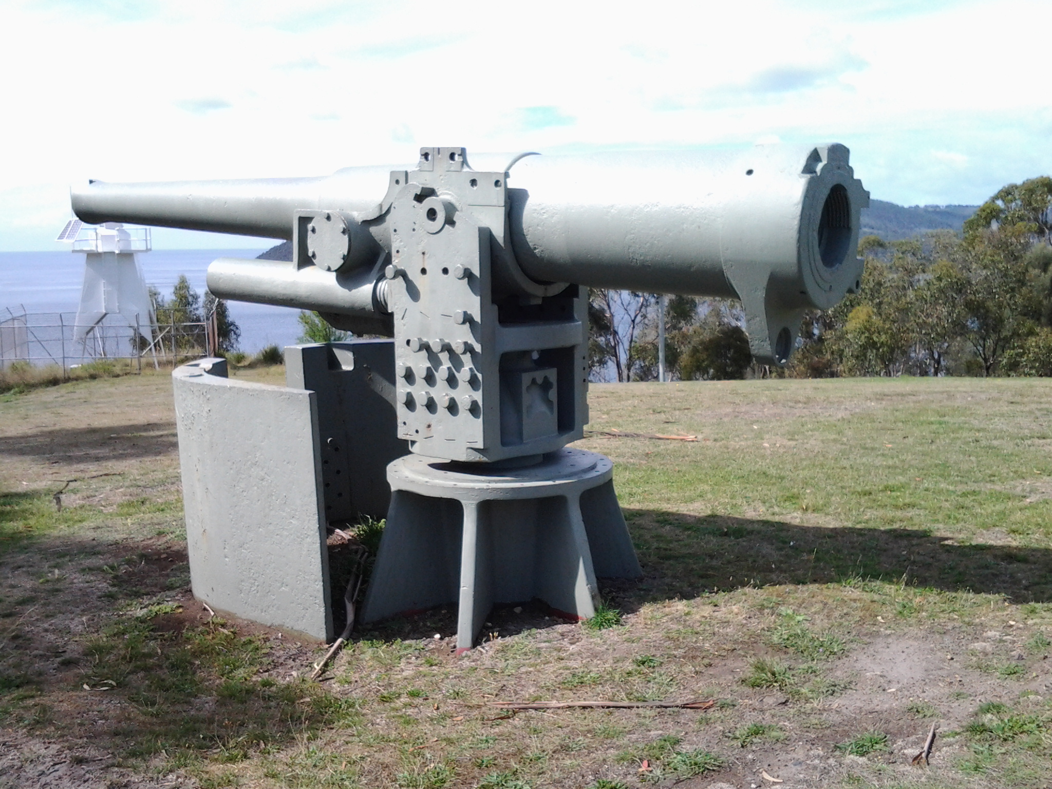
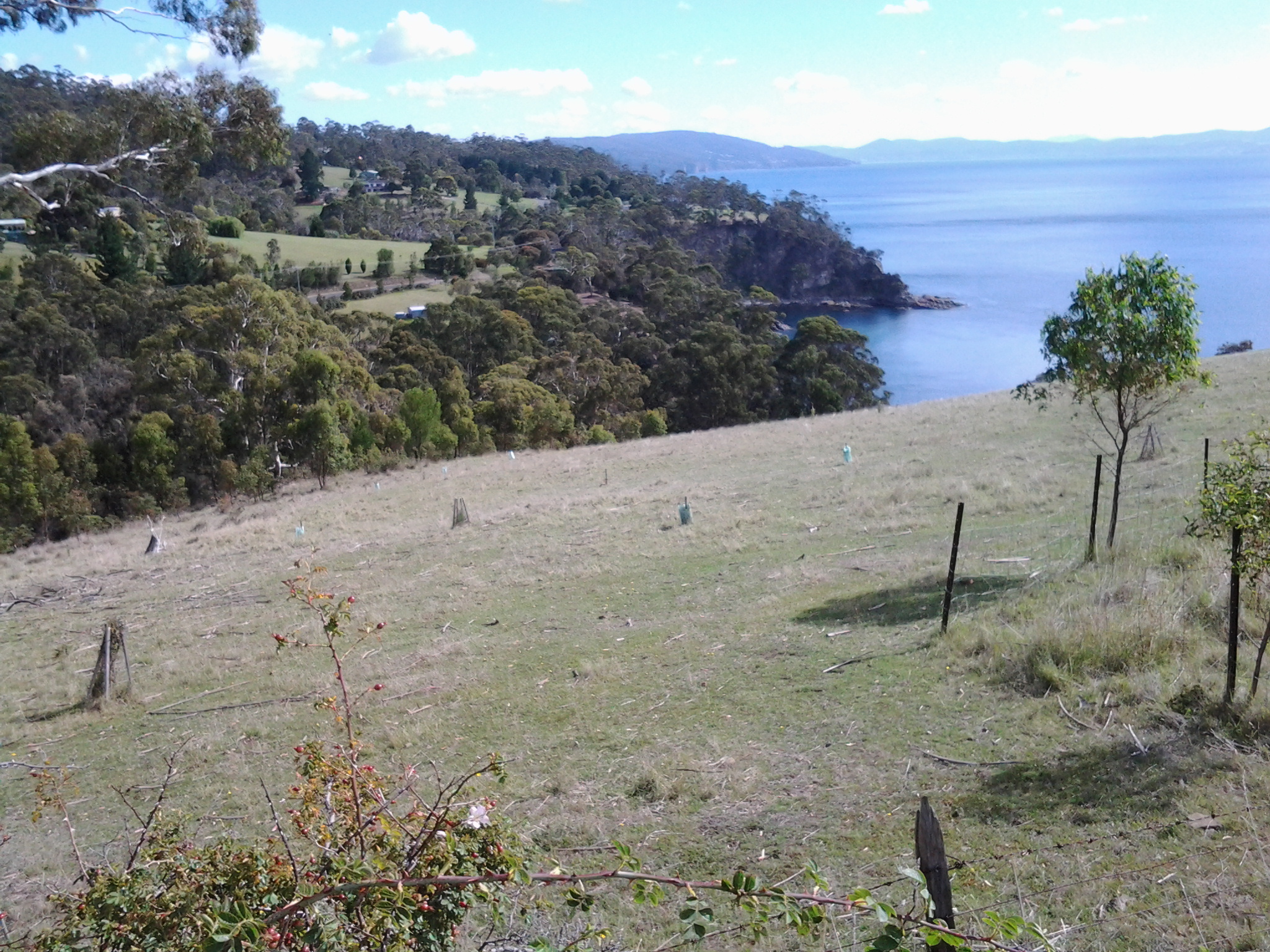
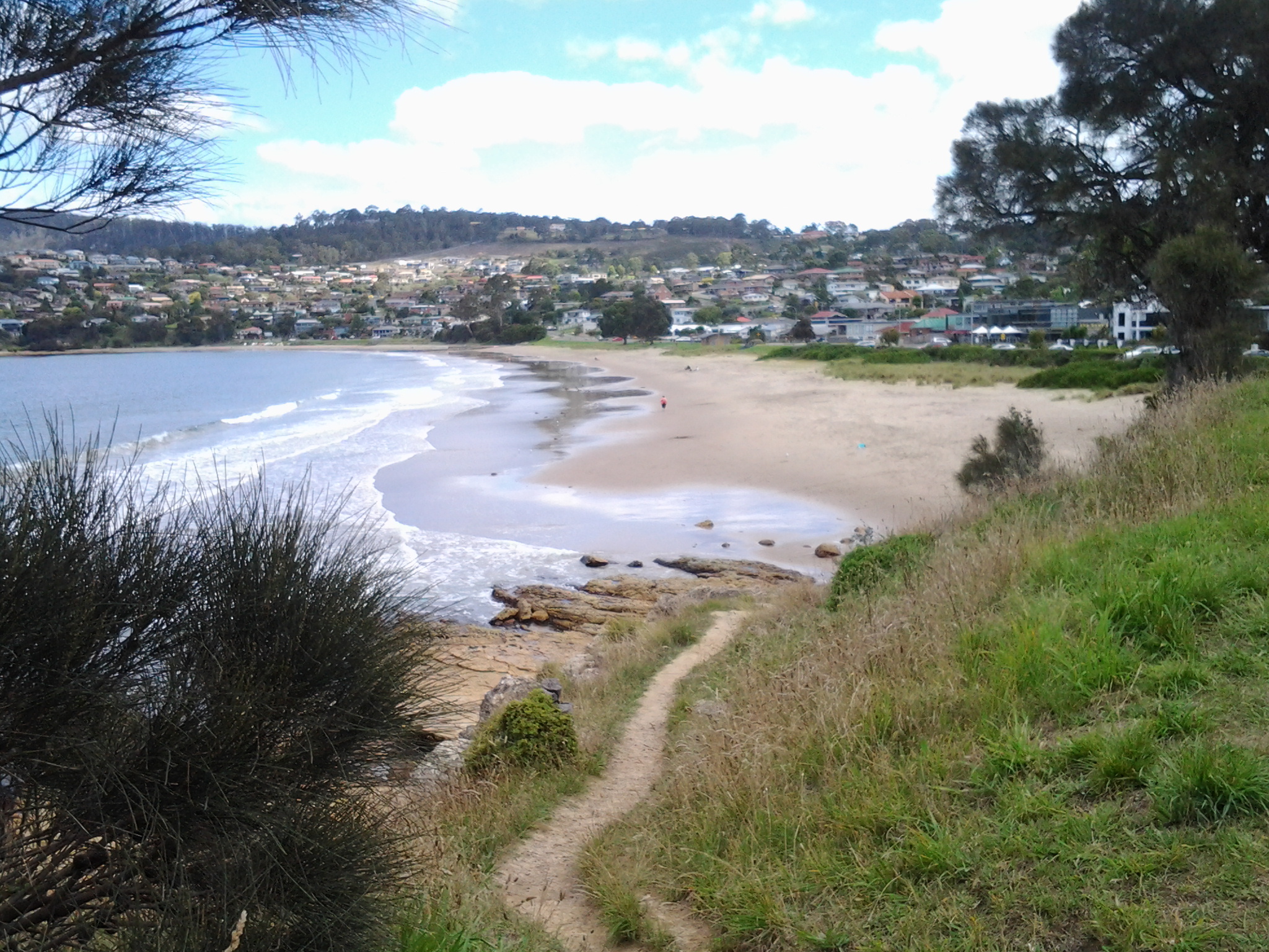
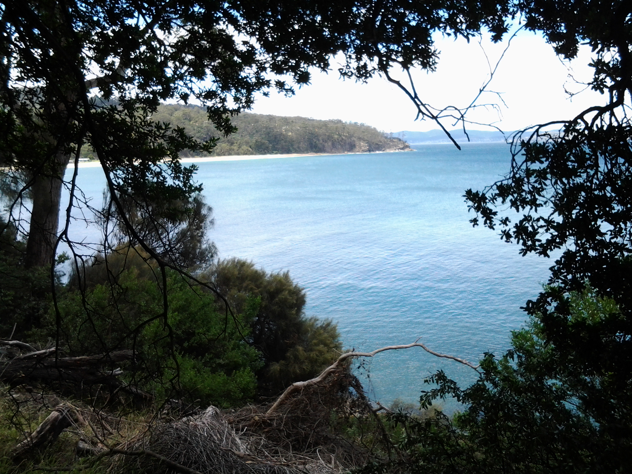
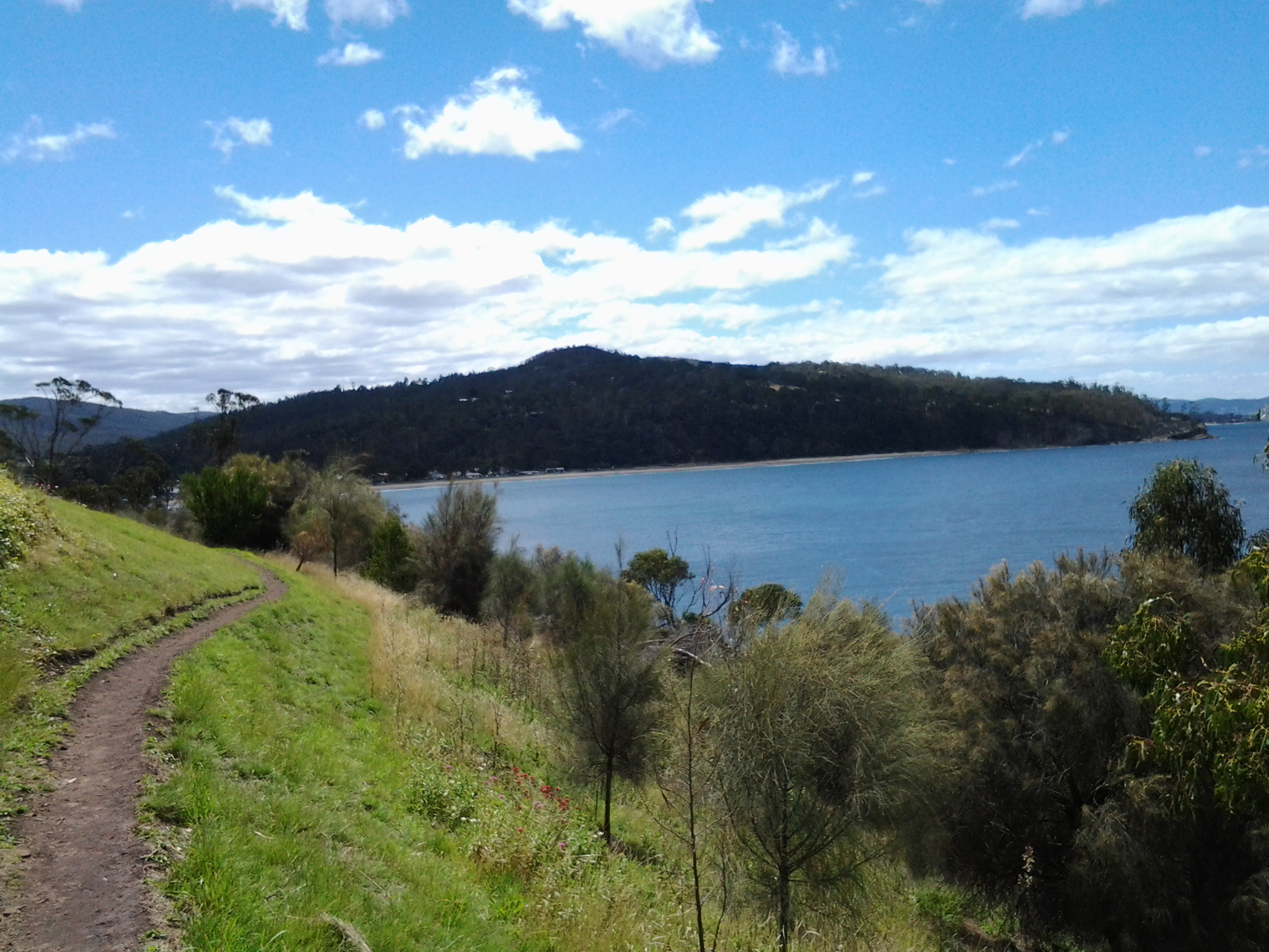
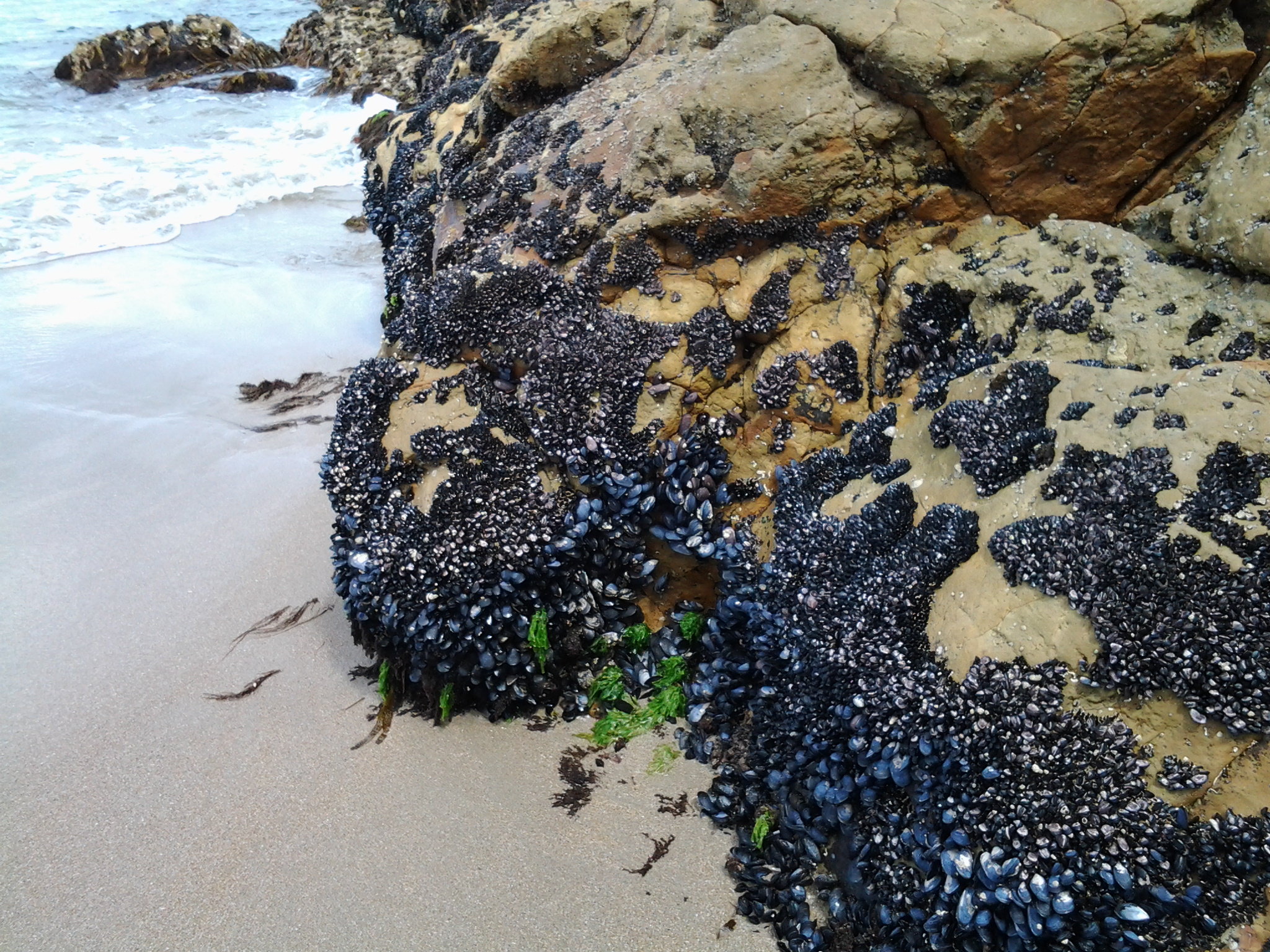
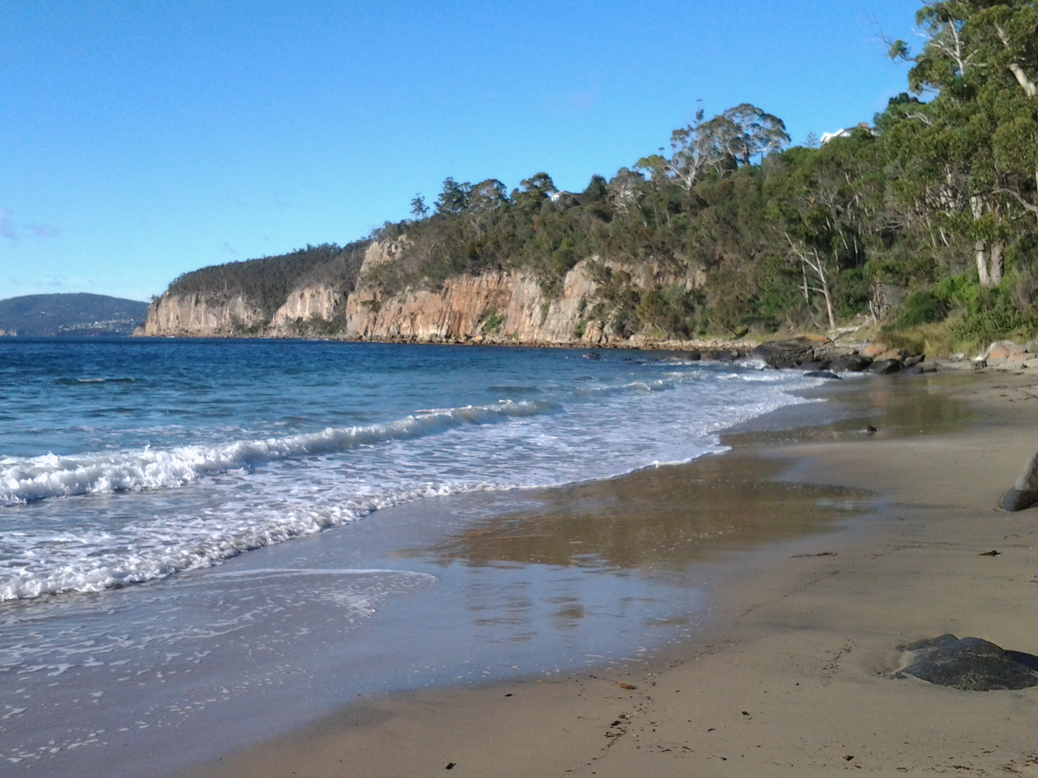
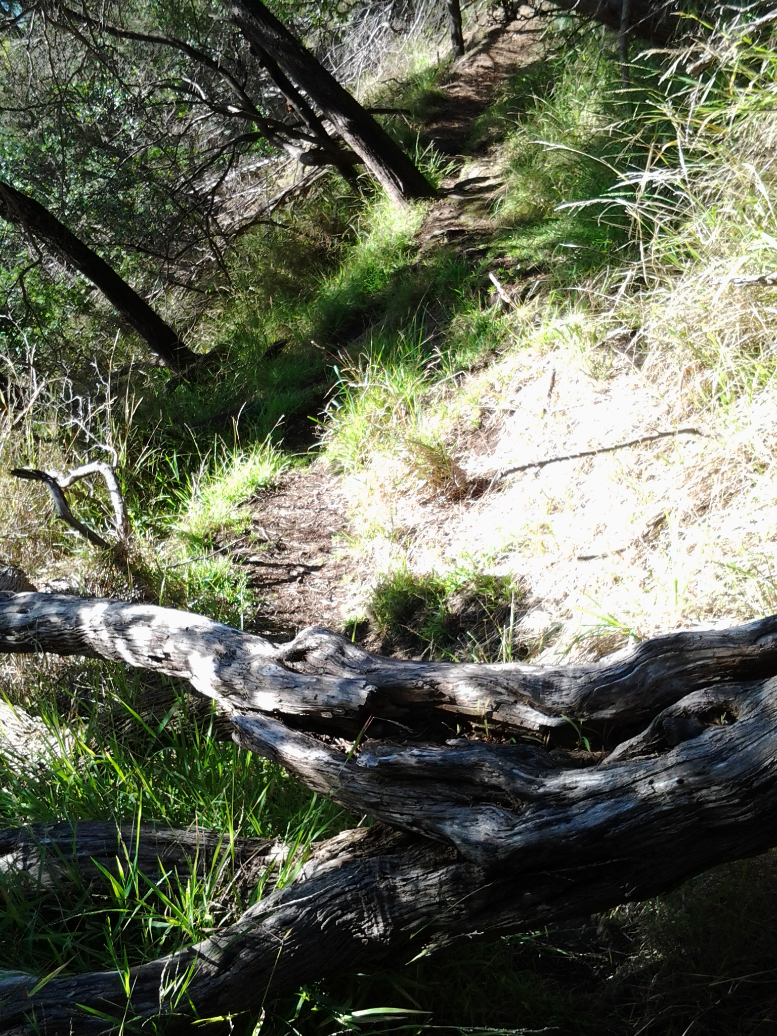
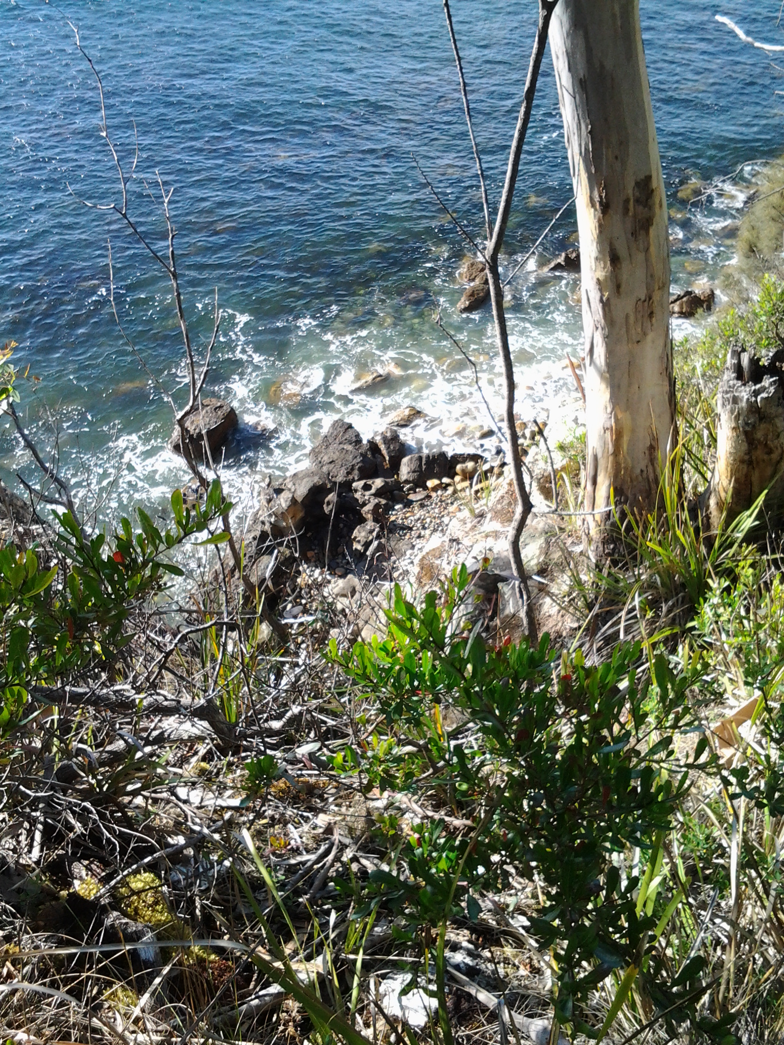
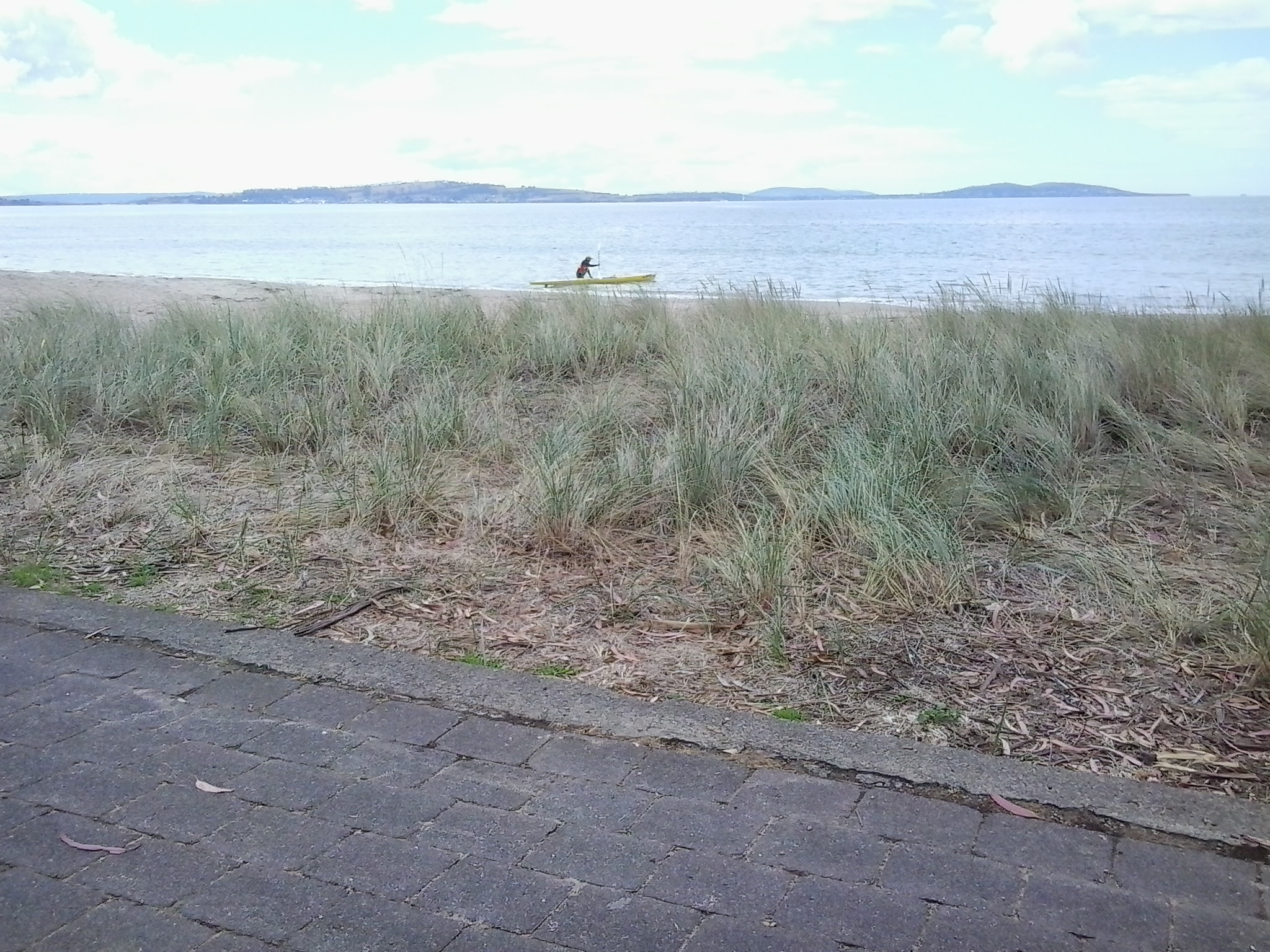
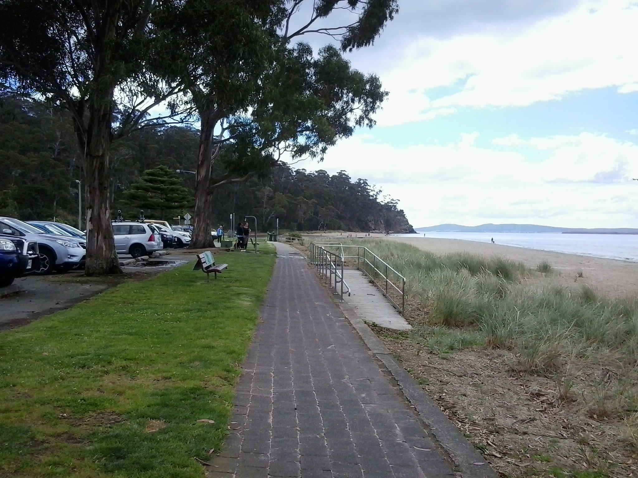
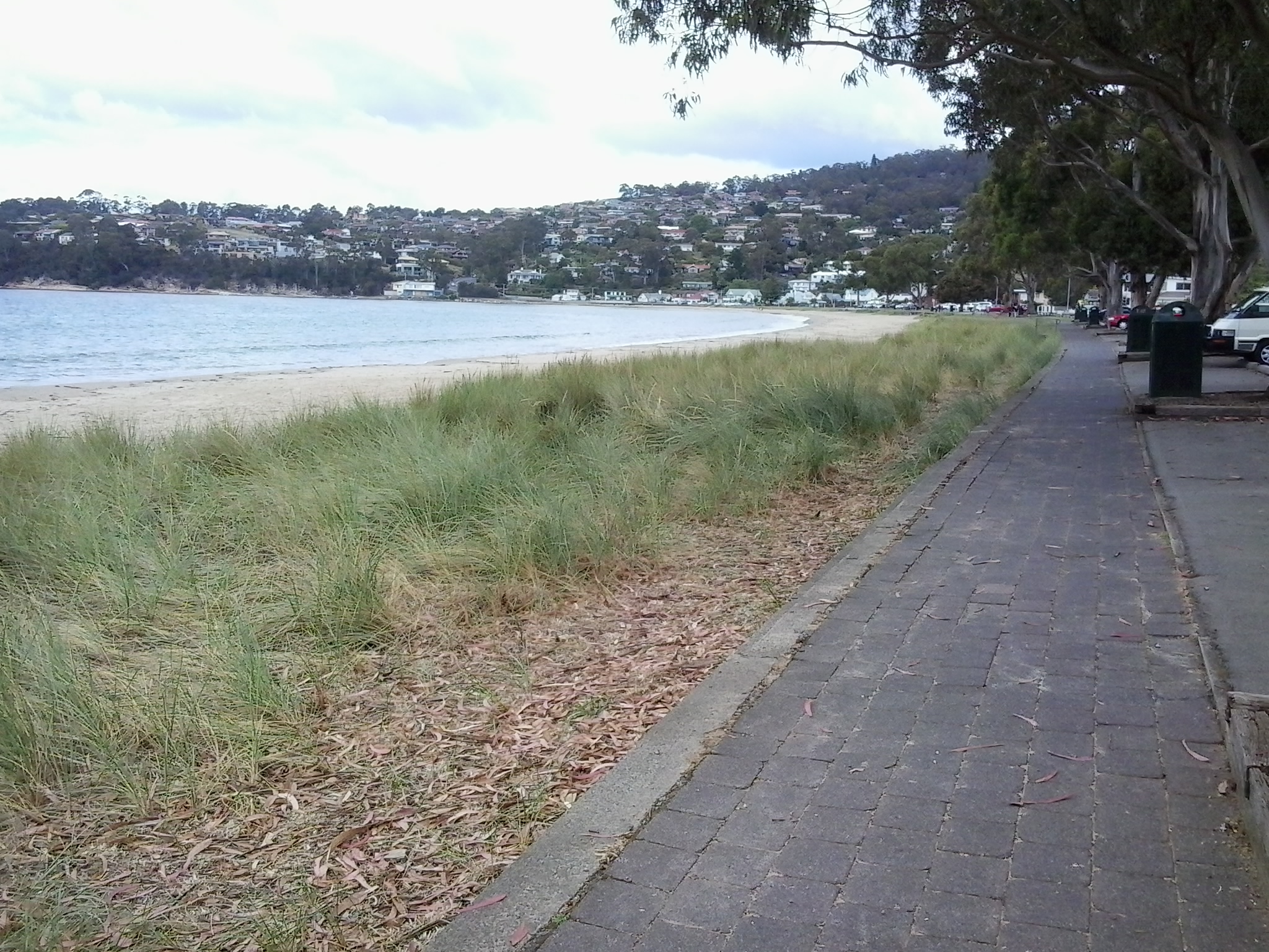
Last week I bussed 20 odd kilometres down to Kingston and participated in a workshop, organised by ABC Open (go to https://open.abc.net.au for written and video stories from around Australia), about making video stories with tablets and IPads. Since then, using my Samsung tablet, I have taken a series of video shots beside one section of the Derwent River. To tell a story, different video shots are needed for linking together. At the end of this week I will return for a second workshop to help me edit different shots together into a coherent story.

I would like to share some of what I have learnt so far.

Firstly, we should always make videos using the ‘landscape’ rather than ‘portrait’ orientation. Once I was alerted to the fact that the landscape orientation typifies movie screens, televisions and computer monitors, I understood this was the preferred way for our brains to operate (our eyes ‘sweep horizontally across the landscape’ for survival more often than up and down).  This morning I looked at an online news story which included a short video presumably taken on a smart phone by a public bystander to the event. The film was oriented in the vertical portrait direction so that when screened on my computer monitor, two lumps of black either side of the tall narrow image made it difficult to ‘read’.  So I have learnt that lesson.

Other learnings included: the idea that I should not move the tablet to record the video, rather I should swivel my body from the waist. Doing so creates less shudder movement resulting in clearer videos. I should never use a zoom function when it is an option on a device, rather I should take a series of sequence shots then edit them together.  Not everything has to be in focus if a story is being narrated.  Aim to record a series of peak moments in order to compress time. Beware of recording with the device directly face down because devices can revert to the portrait orientation once in the position of being parallel to the ground – therefore, I must remember to keep an angle on my tablet in such a situation.

We were informed that the journalism standard is a 5 shot sequence where each video shot is taken from a different angle or distance.  Now I watch news broadcasts differently and can analyse the variety of shots. We were recommended to make each shot about 8-15 seconds in length to provide sufficient information for editing. In addition, we were counselled to be patient as we record, in case there is an unexpected (and interesting) change in what we are recording.

At the end of the workshop’s theory session, including watching a number of good and bad videos available on the internet, I started to plan my story.

I was urged to create a story associated with my project to walk along the Derwent River and, while this idea sounds like it should be easy for me to develop, it has not been.  In fact, I have found it quite difficult to determine a story line, create a story board of the shots which will be woven together and then get the best mini videos to demonstrate each part of the story.  When I recognised the hundreds of stories associated with my walks, I realised that it would not matter on which story I worked, all I needed to do was make any choice and then get on with it.

For the past couple of days, I have made a series of brief video shots involving the Tasman Bridge which spans the Derwent River. On my way home, I recorded the following 9 seconds of traffic streaming along and over the Bridge. This video doesn’t fit with my story so I have inserted it unedited.  The video shows traffic on the Tasman Bridge with Mount Wellington in the background, viewed from the Rose Bay High School overpass.    See the video at https://vimeo.com/121886583

I am now ready for the workshop on editing to create a visual story.

Finally I reached the mouth of the Derwent River on the western shore at Pearsons Point

The goal of walking along the western shore of the Derwent River was to reach the mouth and during Stage 13 I reached this destination marked by Pearsons Point.

Before then at 10.44am I walked past a turn off: Mt Louis Road. There was a lump up in the sky on my right.  Maybe another time it might be pleasant to see what is up there and to look at the view – which is probably a spectacular 360 degree outlook along the Derwent River, the D’entrecasteaux Channel and Bruny Island.

As I panted up the final hill, I heard the thwack of balls and realised the fencing I could see in the distance amounted to a tennis court.  A tennis court!  Ye gods! Out here in the bush and miles from anywhere?  Yes it was.  Two women were slamming the balls up and down the court.  Their two cars were the only vehicles in sight.

10.52am: I reached the Pearsons Point Reserve and was feeling rather chuffed.

20150224_105032

I wandered around the site which included a disused gun emplacement and a couple of large historic cannons.  Guess Pearsons Point would have been the first line of defence against any Russian threat (which seemed to be the main thought through the 19th century).

20150224_105306 20150224_105429

Note: the bump behind the gun emplacement and tennis court is Mt Louis. A large white edifice on the end of the Point (on the other side of the cannon) appeared to be a marine navigation beacon.

In front of me to the right hand side of the Point, the D’entrecasteaux Channel separated the mainland of Tasmania from Bruny Island (famous for its fresh produce such as cheeses, smoked fish and meats, berries, premium wines, and local oysters).

20150224_105437 20150224_105647

I was very surprised how close Bruny Island (Dennes Point) was to this part of Tasmania’s mainland.  So close.  So accessible.  And its green hills and the white sandy Jetty Beach were most attractive.

On the other side of Pearsons Point to my left, the Derwent River flowed out to Storm Bay and then onto the ocean. I could see the Iron Pot and Cape Direction at the southern tip of the South Arm peninsula on the eastern shore of the River.

I found a pleasant picnic table and at 11am ate half my lunch under a small cluster of gum trees hoping no branches would be shed on my head.  Feeling on top of the world. The sun was out and the tiniest of breezes moved through the area.  Past the trees I could see motoring boats leaving white streams behind them as they sliced through the River. I looked back northwards to the Alum Cliffs between Taroona and Kingston.

20150224_112527

With a little sadness I left Pearsons Point at 11.25am.

By 12.40pm I was passing the Hidden Cove turnoff, at 1.05pm I reached the Fossil Cove Drive junction, at 1.25pm I walked across the intersection with Treatment Plant Road, and at 1.30 I stopped for a moment at Suncoast Drive.  I looked at the one bus stop (there wasn’t a pair one either side of the road) and it did not have a timetable attached to the post, so I continued walking to Wells Parade.  I had been told this was a long road, and now I know it is.

20150224_133752

I stopped and waited for a bus which didn’t come (the first in my entire travels) and left and walked up and down and up and downhill until eventually I was back parallel to the Blackmans Bay Beach.  I sat for a while at the beach soaking in the atmosphere, smelling the salt, and relishing the fact my feet were having a rest.  When the time came (according to my bus timetable), I walked to the bus stop where I had alighted hours earlier in the morning, and before long Metro bus number 85 arrived.  After passing via the Suncoast Drive bus stop that I had looked at earlier in the afternoon on arrival back in Blackmans Bay, Maranoa Heights, other suburbs, and Kingston, I was back in Hobart city by 4pm feeling elated.  Stage 13 was over.

The land begins to open, making possible expansive views across the Derwent River.

Every so often, along Tinderbox Road, a cluster of a few properties on 5 acres or so of land each would appear after a kilometre or so of the densely bush environment.

The closer I walked to Pearsons Point the more likely that Tinderbox Road was close to the River or I could see more of the River.  Around 10.20am, while on a long and winding road (on which I considered breaking out into one of the Beatles favourite songs) which undulated so that I was walking uphill then downhill seemingly repeating this process ad nauseum, I was stopped by the beauty of a rose bush in its glorious rose hips stage. I took photographs at that point and in a number of roadside places in the following kilometres.

20150224_101936 20150224_114116

In the distance after climbing one hill, I looked back northwards to Lucas Point behind the steep rock edged bay of ‘Fishermans Haul’ (see photo below).

20150224_103427

In the photo above, the far distant hill on the left is the Alum Cliffs between Taroona and Kingston.  It gives you an idea of the distance covered in these walks.  The other land is on the eastern shore of the Derwent River.

A little further along I was looking down on a disused farmhouse at what I believe was Passage Point.  The photo below shows (green plastic protective shelters around new plants) new trees have been planted in the paddock. I saw such revegetation practices on a number of properties throughout the day.

20150224_103846

Another photo looks across the Derwent River to the southern tip of the South Arm peninsula. The glistening white buildings are those of the Fort Direction defence services complex which I passed through on Stage 1 of my walk along the Derwent River.

 20150224_105611

Before my walk along the Derwent River last Tuesday

As my bus from home into Hobart city passed over the Tasman Bridge before 7am, I looked down onto a dozen or so rowing boats slipping along the Derwent River. The wedges that their passing craft made were the only patterns on the still surface of the River.

The morning was suffused with golden light forewarning the rise of the sun over the hills.  The few wisps of cloud in an otherwise blue sky were coloured silvery pink.  The temperature was a brisk 8 degrees, but I felt clean and alive prompted by such a vital looking day.

Once in the city, I walked to Franklin Square ready to wait for the next bus to Blackmans Bay, my starting point for Stage 13. While waiting, I walked through the park and admired the grand symmetrical fountain splashes around a large bronze sculpture of the eminent 19th century Rear Admiral Sir John Franklin.  Overhead, I watched a squawk of Sulphur-Crested Cockatoos, with their wings lit by the first rays of sunshine, flying as a family.  Street cleaners were clearing rubbish bins and pathway surfaces.  Very few other people were out and about in the centre of the city (people were being active in the suburbs before commuting to work in the city a while later).

The large public chess set had been set out and was ready for play.

20150224_071013

As the sun struck the Treasury buildings at one end of Franklin Square park, clusters of fat seagulls (Silver Gulls) were nipping at early rising insects across the grass lawns.

Metro bus number 84 departed at 7.17am. By 7.33am we had climbed up and travelled along the Southern Outlet and were passing through Kingston. This gave me a clear cut side view of majestic Mount Wellington.  Every rock was hard edge and clear. The air was so clean.

At 7.41am I stepped off the bus at Wells Parade in Blackmans Bay, the location where I had finished Stage 12 of my walk.  The final walk to the mouth of the Derwent River was about to begin.

Nudging into Blackmans Bay on Stage 12 of my walk along the Derwent River

At 3pm I turned left onto Roslyn Ave having walked up from Boronia Beach. Within 10 minutes I could see Blackmans Bay Beach.

20150202_150926

Five minutes later I turned left at Blowhole Road in search of a Blowhole. The road was narrow with no pathway and limited edges on which to walk.  Wattle trees were blooming and I passed an apple orchard laden with red globes. Flowering gums are spectacular at the moment.

20150202_150406

I reached the Blowhole sign, which indicated the entrance to a small park on a hill at the northern end of Blackmans Bay Beach, at 3.22 pm.

20150202_152145 20150202_152210

The weather wasn’t gusty and so the water ebbed and flowed rhythmically but undramatically beneath a rock bridge. There was no blowing of water through the gap.

20150202_152241

I continued down hill.

20150202_152611 20150202_153012

I reached beach level at 3.34pm and proceeded to walk on the path beside Ocean Esplanade. Inset into the pavement were handmade tiles and mosaics presumably made by community effort.  These were similar to those impressed into the footpath in parts of Kingston.

20150202_153808 20150202_153822

A little way along the Esplanade public toilets and a kid’s playground provided useful amenities.

I decided to stop, look, listen and smell. Looking over the Derwent River to the South Arm peninsula and around about me watching people enjoying the beach and surrounds, listening to the seagulls calling, and smelling the salty air kept me seated for 10 minutes. I had walked two thirds of the way along Blackmans Bay Beach and it seemed a reasonable place to stop for Stage 12.  So I headed for  a bus stop.  I found one by turning into Hazell St and then into Wells Parade.  As I arrived at the stop, a Metro bus came over the hill in the distance.  Wonderful timing.  It was 4pm. The experiences of the day had been rich. I enjoyed the bus trip back into Hobart via the main Kingston shopping centre, and then the southern outlet highway. The view when we came to the top of the final hill is majestic (please ignore the dirty bus windows in the photos below).

20150202_161915 20150202_162002 20150202_162024

Some of Hobart and the eastern shore suburbs are laid out below with the blue Derwent River flowing between. Always stunning. After half an hour on the bus I arrived in Hobart city, then headed off for my Bellerive bus and was home before 5pm.  All together a brilliant day.  Stage 12 was complete!  Because of personal commitments and what I have seen in the weather forecast, I do not expect to walk Stage 13 until next week.

An extra historical morsel regarding Browns River which runs out into the Derwent River

Browns River separates Tyndall Beach (below the Alum Cliffs) from Kingston Beach. On the Kingston side, a plaque remembers Robert Brown.

According to http://www.rampantscotland.com/placenames/placename_hobart.htm  the township of “Browns River was named after the noted Scottish botanist Robert Brown who explored the area a week after Hobart was founded. “  Apparently Hobart (Sullivans Cove) was established on 21 February 1804 (I shall remember the date because it is my birthday – well not the 1804 bit) and therefore before the end of February this ‘township’ of Browns River was in its infancy. A week – ye gods!  How quickly these pioneering settlers got around.  Nothing could happen so fast these days.  But, is the timing true or simply a legend? I don’t know.

The name was changed to Kingston in 1851 by the Governor of Van Diemens Land, Sir William Thomas Denison.  The website http://tasmaniaforeveryone.com/tasmanias-names-the-suburbs-of-hobart suggests “The name Kingston was advocated by the then Police Magistrate, Mr Lucas. Although his exact reason for deciding on the name of Kingston is unknown, there are many theories. His parents, Thomas and Anne Lucas, the district’s first settlers, lived at Norfolk Island before coming to Van Diemen’s Land and the capital of Norfolk Island was Kingston. Another possible reason is that Thomas was born in Surrey, England in a village close to New Kingston. It had been settled in 1808 by Thomas Lucas and his family, who were evacuated from Norfolk Island. He named his property ‘Kingston’, after the settlement on Norfolk Island. “

On through Kingston still heading southwards past Boronia Beach

I finished my lunch on the south side of Browns River, crossed the pedestrian bridge over Browns River at 12.17 pm then proceeded along Osborne Esplanade (parallel and next to the Derwent River) towards the Kingston shops.  Over Christmas I holidayed in Kingston and my 3 posts titled I am on holiday watching over the Derwent River, Getting out into the air at Kingston Tasmania and Kingston Beach, Tasmania offer more information about this leg of my walk along the Derwent River.

I had the pleasure of meeting with Em for cups of tea and a long happy chat and saying hello to people I knew as they walked past the outdoor café Beachfront 32.  Immensely pleasant.

At 1.52 pm I restarted my walk southwards amidst foreshore joggers, walkers and seagulls – the sun was shining again and my world was warm.

By 1.59 pm I reached the Kingston Beach Sailing Club and could look back northwards across the sweep of water and the arc of Kingston’s white sandy beach.

20150202_135849 20150202_135818 20150202_135809 20150202_135813

The last photo looks north to the headland at the end of Tyndall Beach which was spread at the bottom of the southern end of the Alum Cliffs.

A minute later I reached the Boronia Beach Walking Track and turned left.

20150202_135909

A gentle shady path meandered along above the water and I could hear happy voices on the rocks below.   The views through the trees were spectacular.

20150202_140623

Up above me on my right were large houses with massive picture windows surrounded by high mesh fences. Then the landscape opened out and I could still look northwards to the Alum Cliffs where I had walked during the morning.

20150202_141612

At 2.18 pm I reached a gate marking the entrance to the track down to Boronia Beach, a beach that I had previously not known existed.

20150202_141714 20150202_141816 20150202_141954 20150202_142008

By 2.24 pm I was walking on the beach.

20150202_142513 20150202_142154

I remembered the chitons which had featured on a public art work at Taroona Beach and wondered whether they could be found on this beach (refer back to my posting Public art works along the Derwent River –Taroona’s Chiton for more information). I checked the rocks but found none.  I  concluded the chitons must collect together only on the Taroona Beach rocks.

The rock formations at the southern end of the beach were a surprise.  The soft sandstone has been weathered and small caves were formed into the cliff.

20150202_142346 20150202_142436

Seeing these caves cast my mind back to Kalambaka in north western Greece. Last year I visited this town and marvelled at the stunning beauties of the Meteora (refer http://en.wikipedia.org/wiki/Meteora for more information) Below is one of my photos showing the caves in some of the cliffs which hermits used to climb up and live in (and which Roger Moore as James Bond climbed over dramatically in the movie “For Your Eyes Only”).

20140607_190315 20140608_094209

Boronia Beach’s caves are smaller and different in many ways from those of the Meteora.  However they surprised me in this tucked away gem of a beach.

For those who loved the photo of mussels growing on Boronia Beach rocks which I provided in an earlier posting about the Stage 12 walk, here is another.

20150202_142536

Five or so minutes later I began the trek uphill out of Boronia Beach under old pine trees.

20150202_143006 20150202_143214

I was horrified to see thousands of escaped ‘forget me not’ plants, some flowering as they carpeted lots of the area near the beach and up the hill. I pulled out a few dozen and their roots came out easily but a concerted effort of a few days’ work to remove these before they spread any further is essential if the wild bush is to stay as pure as it can.

A gate half way up the hill let me out onto a continuing walking track at 2.36pm.  Not long after I decided to sit on the steep steps and smell, look and listen to the environment. Very peaceful.

By 2.45pm  I was walking again and a couple of minutes later I reached a gate to exit the entire walking track area.

20150202_144535

The entry was signed but, while the exit was easy, it was entirely unclear whether to turn left or right.  At the end of the dirt road in both directions I could see gates closed over the road.  Murphy’s Law has it that I will often make the wrong choice and it was no different at that point. I chose to walk down to the gate at the bottom of the road but found it entered into private property. Back up the road, lined one side with large girthed pine trees, I walked to the other gate and found no obstacle to walk around it. At 2.54 pm, I was continuing along the road watching a family of magpies fossicking in an open paddock, and later marvelling at an old crab apple and a pear tree both of which were laden with fruit.

At 3 pm I arrived at the junction with Kingston and Blackmans Bay’s main linking road, Roslyn Avenue.  The address for the dirt road on which I had been walking is Roslyn Ave 82-88, and it is directly across from Jindabyne St over the roundabout on Roslyn Ave.  One corner of the intersection is occupied by the Catholic Church of Christ the Priest and the Aloysius Primary School.

Starting out from Hinsby Beach and walking south to Wandella Avenue – Stage 12

I left home in Bellerive on the eastern shore of the Derwent River before 7am while the morning was cool and the light was soft grey. By the time my bus into Hobart city was travelling over the Tasman Bridge, the sun had hit the top of Mount Wellington, the sky was blue, and the day promised to be sensational.   The dramatic circus tent on the Queens Domain was being dismantled. People on the bus seemed to be dozing. Yet outside the bus, I wondered at the stunning crispness of shadows and sunlight causing windows to sparkle.  The look of the day made me feel like I was sparkling.  But my eyes were wide open.  Waiting at the bus stop at Franklin Square for a bus headed towards Kingston but passing through Taroona,  all I could think was ‘glorious, glorious, glorious’.

With few people on board, the trip to bus stop 30 in Taroona (the one where I finished in Stage 11) only took 22 minutes and then I was out in the fresh air on the Channel Highway at 7.52am. Gulls calling. Gardens were flush with sunflowers, roses, agapanthus, wandering pumpkin plants, lavenders of all types, and flowering gum trees.  All overlaid by the sounds of bush birds flitting here and there.

By 7.58am I had walked down Hinsby Street and reached the top of the walkway leading to the Hinsby Beach.  I could hear the shushing of the soft waves along the beach and glimpse a tiny bit of water at the end of the shady path.

20150202_075819

I could see the Alum Cliffs through the trees.

20150202_075858

A swimmer was leaving the water as I clicked a photograph. When I registered his angry body language, I realised I had been feeling the place without really seeing.  Of course my finger on the tablet’s camera clicked mechanically without seeing or feeling – but featuring photographs with him was not to his liking. I immediately claimed to be photographing the Alum Cliffs at the end of the beach and promised not to blog his picture.

20150202_080143

I guess the swimmer was not used to sharing the beach with anybody else that early and could only repeat rather manically, ‘you must come in’, ‘you must come in’ as he gesticulated towards the water.  I was thickly dressed from neck to toe and already wearing my sun hat.  ‘Going in’ was not in my plan.  I continued along the beach. A little later on a path, I took the following photo – I hope you can understand that getting undressed would never have been an option.

20150202_080640

At 8.05am, at the end of Hinsby Beach, I looked back for one last sea-level view of Hinsby Beach.

20150202_080405

I reached a stairway with rails and walked uphill until I seemed not to be on a clear track.

20150202_080359

When you read further below you will realise the photo above does not show the start of the track which I should have taken.

Very soon I arrived at a gully with a small trickle of water passing downhill. I chose not to cross by balancing as a gymnast on the dead tree trunks that criss-crossed it. Instead I simply walked easily down, stepped across a few rocks and walked up the other side.  Before long it was clear I was fenced in and that a proper dirt track passed on the other side of the fence. The fence was elastic so I swayed over it rather dramatically without falling off and down the cliff on the other side of the track. When I righted myself and looked back along the track which I hadn’t known existed, three women and a dog stood very still, their mouths agape. ‘Are you alright?’ they chorused. ‘Yes’, I assured them as I smiled.  Some moments I wonder if I am losing my once good judgement.  ‘But where have you come from?’ I asked with a puzzled wrinkling of my forehead. ‘Where did you find this track?’  Apparently, if I had bypassed the stairs and track I had chosen and walked around over the rocks of Hinsby Beach a little further, the real track started there.  Time for the installation of a few signs!

This ‘new’ track was fine.

20150202_080456

Although there were occasional diversions across the track.

20150202_084019

The view back towards Hinsby Beach was clear.

20150202_082252

The time was 8.22am as I offloaded my jacket, smeared sunscreen across exposed parts of my body and continued walking along the track until it extended up into a suburban street.  At 8.25am I turned left into Wandella Ave, wandered along past houses for a while, could not see any further tracks back to the Alum Cliffs, talked to a local who did not think there was one and recommended that I should walk up to the Channel Highway and continue southwards on that road.

Not to be defeated, I retraced my steps down the original pathway until I discerned an old disused track that seemed to continue along the Cliffs.  I walked it but casual inexperienced walkers and those walking alone absolutely should not. Incredibly unsafe in just about every way.  I didn’t fall nor receive injuries but there were so many ways and places I could have damaged or killed myself on that route.  I won’t relay all the details of that walk except to say that the views across the Derwent River though the trees were grand. Blue Wrens darted around me through the bush. Waves pounded against the Cliffs, and I could hear the roar of waves crashing on distant beaches.  Because photographs flatten the vistas, the ones I have taken do not present the feeling of isolation, steepness nor roughness of this non-track.  But it was incredibly beautiful and I am glad to have seen that landscape.

20150202_085324

I started this diversion at 8.37am. After following a collapsing path (although parts were good), I managed a deep descent into and an ascent out of an unnamed gully by 9.12am, rounded an extensive private house, talked with the house owner about the future of tracks along the Alum Cliffs and the non-availability of any tracks passing his house (which stood on the very edge of the Cliff) around 9.25am, and walked down and around the very long winding private driveway over a trickling creek, I reached suburbia again at 9.35am – the same point on Wandella Ave I had been earlier in the morning. I had completed a loop. Certainly I had been close to the Derwent River more than most but I had not advanced along the River.

The first photo below shows the house I climbed up to on top of the cliff after descending into a gully, the waters of which plunged over a rocky edge to the River.

20150202_084704 20150202_085446 20150202_092605

I recommend that all evidence of the existence of the disused track should be eliminated.

Alum – what is it?

On my next walk along the Derwent River – Stage 12, I will start by walking 3-4 kilometres along the top of the Alum Cliffs from Hinsby Beach to Kingston. I have seen the cliffs from Hinsby Beach on Stage 11, and they look like ‘normal’ cliffs.

But what is Alum? 

According to http://chemistry.about.com/od/moleculescompounds/f/What-Is-Alum.htm, “Alum is any of the compounds with the empirical formula AB(SO4)2·12H2O” and if I tell you Alum is a specific compound of hydrated potassium aluminium sulfate with the formula KAl(SO 4)₂·12H 2O, your brow may wrinkle.  Are you still in the dark?  Worse – it seems there are a number of alum varieties including:

  • Potassium alum is also known as potash alum or tawas. It is aluminium potassium sulfate. This is the type of alum that you find in the grocery store for pickling and in baking powder. It is also used in leather tanning, as a flocculant in water purification, as an ingredient in aftershave and as a treatment to fireproof textiles.
  • Soda alum, with the formula NaAl(SO4)212H2O, is used in baking powder and as an acidulent in food.
  • Ammonium alum has the formula NH4Al(SO4)212H2O and is used for many of the same purposes as potassium alum and soda alum. Ammonium alum finds applications in tanning, dyeing textiles (acts as a mordant and helps to lock in colours), making textiles flame retardant, in the manufacture of porcelain cements and vegetable glues, in water purification and in some deodorants.
  • Chrome alum or chromium alum has the formula KCr(SO4)212H2O. This deep violet compound is used in tanning and can be added to other alum to grow lavender or purple crystals.
  • Selenate alums occur when selenium takes the place of sulphur, so that instead of a sulfate you get a selenate, (SeO42-). The selenium-containing alums are strong oxidizing agents, so they can be used as antiseptics, among other uses.

Other uses of Alum

Alum has several household and industrial uses.

  • purification of drinking water as a chemical flocculant
  • in styptic pencil to stop bleeding from minor cuts
  • adjuvant in vaccines (chemical that enhances immune response)
  • deodorant “rock”
  • pickling agent to help keep pickles crisp
  • flame retardant
  • the acidic component of some types of baking powder
  • an ingredient in some homemade and commercial modelling clay
  • an ingredient in some depilatory (hair removal) waxes
  • skin whitener
  • ingredient in some brands of toothpaste

Considering this list, and in this day and age of developers raping resources, I am surprised our Alum Cliffs are still standing.

The more I learn the more I am overwhelmed by options.  I wonder what the story is of our Alum Cliffs between Hinsby Beach and Kingston. More research is required.

Taroona’s coastline as experienced on Stage 11 of my walk along the Derwent River

The last leg of this Stage was the most interesting because I made discoveries which delighted me deeply.

At 12.18pm, I left my Channel Highway resting spot and walked downhill toward the people-free Taroona High School (closed for school holidays). Close to the bottom of the hill I could see the tops of boathouses and a ‘beach’ to my right so I took a dogleg to Melinga Place on my right and continued downhill.

20150119_122623

I didn’t know this existed. Mostly a rocky shore, a little sand, edged by a mown green lawn.  Serene.  Across the Derwent River, I could see Gellibrand Point at the north of the South Arm peninsula.

20150119_122608

Walking southwards it wasn’t long before I entered the foreshore bushland on an easy-to-walk dirt track.

20150119_122632 20150119_123039

Later I found this had a name: the Taroona Foreshore Track. At one point the ‘track’ passed over a ‘beach’ of shells and rocks then returned to dirt and rose up over areas raised above the water.

20150119_123407 20150119_123610

An onshore breeze kept me moving.  Every so often, steep trails descended to the rocky shore but I realised that staying on the track would be more comfortable than rock hopping the edge of the River.

When I walked through a grove of trees that were obviously different, I was delighted to read an information panel which informed me this was an “unusual and isolated stand of blackwoods.  Acacia melanoxylon.”  The species is also known as Sally wattle, lightwood, hickory, mudgerabah, Tasmanian blackwood or black wattle. Their rough bark seemed as if it would flake off in small pieces but it was toughly attached.

20150119_124053 20150119_124059

At 12.46pm I looked back northward and could still see the boathouses near the High School.

Looking back to boathouses below Taroona HS

A couple of minutes later I reached Crayfish Point where I noticed craypot markers bobbing in the Derwent River as evidence that fishing for crayfish/lobster was taking place.  However, a sign seemed to indicate this was part of fisheries research by the University of Tasmania.

20150119_124945

Brilliant orange lichen sprawled across some of the rocks.  Huge Pied Cormorants rested on rocks with water lapping at their feet.  This was one of those brilliant days when all the superlatives in the world seem inadequate.

It was near here that an information panel enlightened me about some of the native vegetation.  Now I can identify not only Pigface which I love, but also Bower Spinach and Grey Saltbush. Why I didn’t take photos of the real thing while I was walking I cannot say. Daft!  So I have Googled for images:  If you type in Bower Spinach Tasmania Images, up comes a suite of pictures showing this fleshy leaved plant.  Try something similar to find images of the softly grey coloured Grey Saltbush.

When I reached the start of Taroona Beach at 12.53pm, I looked up the hill and in the distance I could see the Shot Tower that had been built in 1870 (the Shot Tower, a major tourist attraction, is normally accessible from the Channel Highway).

The Batchelor’s Grave Historic Site, just above the foreshore of Taroona Beach, was a surprise.  Wikipedia provides the information that this is “the grave of a young sailor, Joseph Batchelor, who died on the sailing ship Venus in the Derwent Estuary in 1810, and was buried ashore on 28 January 1810. It is reputed to be the oldest European grave in Tasmania”. I am amazed at this idea.  I cannot imagine that many Europeans didn’t die and were buried in Van Diemens Land before 1810 – however, maybe this is the only stone grave marker left from early in the 19th century.

20150119_125452 20150119_125441

Taroona Beach is backed by Taroona Park with pleasant picnicking facilities and public toilets.

20150119_125327 20150119_125918

I left at 1.06pm and walked along Niree Parade for a couple of minutes until the Taroona Foreshore Track restarted.

Within moments I arrived at Hinsby Beach, which was the find of the day as far as I am concerned. Isolated.  Small.  Tree edged. Calm.  Small wave break.  A few boathouses.  A family beach with a few swimmers and sun bathers.  Located at the end of the River edge before the steep Alum Cliffs which flow for 3 or four kilometres to Kingston.

20150119_131323 20150119_131402

I soaked in the atmosphere before starting uphill on a public access walkway at 1.22pm, under shady bushes with lush surrounding ground cover. The track connected to the bottom of Hinsby Road. At the top of Hinsby Road the Channel Highway flowed by. As I arrived at bus stop 30 at 1.36pm, a Metro bus came by on which I made the trip back into Hobart. Half an hour later I was in the city and ready to make the bus trip back home in Bellerive.  I walked in the door at 2.40pm after an exhilarating day when my feet didn’t want to carry me, but I insisted and they persisted. This really is a wonderful part of the world.

A deviation from the record of my walk along the Derwent Stage 11 – today was Australia Day!

Around the edge of Australia, and across inland towns and communities, celebrations are taking place today remembering the start of European settlement in Australia – not that it is expressed as such, rather as a day to celebrate being Australian (Orstrayan – as our accent seems to be saying these days). The day, quite reasonably, antagonises the descendants of the original land owners, our Australian indigenous community, because the day seems to be about being from other countries and not inclusive of the people who were already living here at the end of the 18th century.  Today celebrates the first ‘white’ settlement but not the start of invasion of the lands of those aboriginal peoples who had lived on this land for thousands of years. So it is a day of division across Australia. However, since people with an aboriginal heritage are in the minority in Australia’s population, non-aboriginals go ahead with their barbecues and other family and social events treating today as a public holiday which is their right.  More cross culture chat is needed.

So with that opinion as background, instead of walking to the Bellerive Boardwalk for the annual community Australia Day breakfast and ceremony for new Australian citizens, I decided to try out the Kingston (Kingborough) Australia Day celebrations which were centred on Kingston Beach.

Thousands of people across streets closed to traffic and the endless beach, playing beach volleyball, creating extraordinary structures in sand, and all sorts of other family and activities made the area a hive of activity.  The day’s temperature was comfortably mild for summer, the water so clear, all manner of water craft glided along, swimmers braved the cold water, and happy dogs led their owners on their leashes.  It was an extremely comfortable place to be.

I didn’t take any photographs (more is the pity because Kingston Beach was such a colourful location today) –  you may have read my blog in the area on an overcast non-people day at https://walkingthederwent.com/?s=kingston

The photos I took at that time included:

Sign and river Kingston Beach

Please try and create an image in your mind of sunshine and colour, and of lots of happy relaxed people of all ages and sizes and backgrounds playing and walking on this beach today.

Whatever out ethnic background, Tasmania’s natural sites are incredibly beautiful – and all the better for being so easily accessible.

Today our national Prime Minister released the names of people who have won prestigious Australia Day Awards in recognition of valuable contributions to Australia’s wellbeing and growth and substantial achievement in one or more specific areas.  Today, many Australians are aghast at our Prime Minister’s approval of the English Prince Phillip as a Knight of Australia. Many of us are perplexed and cannot name his contribution to Australia and achievement for Australians, other than in the most general and cursory terms. We have many amazing people in this country, so this announcement of a foreigner getting a special national honour has stopped many in their tracks.

Another opinion can be read at http://www.smh.com.au/federal-politics/political-news/prince-philip-awarded-knight-of-the-order-of-australia-by-prime-minister-tony-abbott-20150125-12xzk8.html – ‘some people worried that this was an Australia Day hoax’.

Yesterday I completed Stage 10 of my sequential walk along the Derwent River

The goal for Stage 10 was to start at my last stopping point, MONA in the middle of Berriedale on the western shore of the Derwent River, and continue to Lutana the last suburb of the City of Glenorchy before the City of Hobart starts. But I went further.  Much further.  Almost much further than my feet could take me.  I walked to Hobart.

Over future posts I will write up the stories of the walk, what I saw and what I experienced, but for now it’s enough to say that I am continuing with this massive project to walk both sides of the Derwent between the mouth and Bridgewater, and then onwards to Lake St Clair. Once I get walking it is always so addictive.  Even when my feet feel crippled, I say to myself … ‘go just a little bit further. What else will I be able to see with fresh eyes?’

The day was gloomy with a cloudy sky, and Mount Wellington had veils of clouds covering at least part of its prominence most of the day. But it didn’t rain and so was perfect for walking.  However, the weather ensured the photographs were without sunshine.

Yesterday I covered 12 kilometres of the length of the Derwent River on the western shore (making 22 kms in total on the western shore), and walked approximately 19 kilometres (making a total of 130 kms to date) to achieve that distance. This distance also takes in the streets and paths on which I walked that led to dead ends so that I needed to retrace my footsteps.

Of the many highlights of the walk, I saw the building that once started life as Rosetta Cottage, and powerful Clydesdale horses with their large hairy feet.

20150109_162649

I surprised a friend still in pyjamas when I went visiting for the first time in my walks. The hot cups of tea were most welcome.

I am always excited when I walk the striped edged boardwalks of GASP (Glenorchy Arts and Sculpture Park) or pass the boatsheds of Cornelian Bay and it was no different yesterday.  See the photos below for a taste of the colour.

20150109_084404  20150109_145335

I very much enjoyed looking at the eastern shore where I had walked during past stages and seeing the landscape from a different perspective.  I felt it made the Greater Hobart Area seem undeveloped in a way which is quite amazing for a capital city. For example, Bedlam Walls on the eastern shore from the western shore of the Derwent River, in the photo below.

20150109_123940

From comments I have received, I know my walks are inspiring others to think about what they might do. Even if you choose not to walk, perhaps you can set yourself other challenges.

My next walk will start at Hunter St at Sullivans Cove on the wharf in Hobart and probably extend to Kingston.  But before then I need to record the details of yesterday’s walk.

Kingston Beach, Tasmania

I found a tiny laneway, squeezed between residential properties, which extended from Roslyn Avenue near where I was staying in Kingston, down to Kingston Beach.  The downward stroll took 6 minutes and, later, the return trundle uphill took 10 minutes.  The easy accessibility to the beautiful foreshore is an asset for locals.  I loved the closeness of the lush vegetation along the pathway and then the openness of the Beach extending before me once I reached the Esplanade.

The morning was overcast with a moderate breeze, but the weather did not deter families, groups of children or a kayaker from enjoying the beach and water.

In the photo below the lone kayaker sets off to enjoy a paddle. The land which can be seen across the Derwent River is the South Arm peninsula. Standing on Kingston Beach, I could identify key points along that piece of land which I had walked during Stage 1 and 2: Gellibrand Point, Opossum Bay, South Arm, and Fort Direction Hill.

Kayaker

I followed a path along the foreshore northwards to Browns River and then I retraced my steps. Looking towards the mouth of Browns River as it enters the Derwent River.

Pathway along Derwent at KB

At Browns River, one side of Mount Wellington looms in the distance.

end of Kingston beach road

Kingston Beach and Browns River are located within the municipality of Kingborough as part of the Greater Hobart Area. In the photo below the waters of Browns River can be seen meeting the Derwent River.

Sign

Nearby I discovered a plaque (photo below) and its message surprised me. Browns River was named in 1804 (you can read more about Robert Brown at https://www.forestrytas.com.au/assets/0000/0185/tasfor_12_10.pdf).  From the reports of my earlier walks in this blog, you might recall that Risdon Cove was established as the first white/non indigenous settlement (on the eastern shore, and quite a few kilometres upstream from the mouth of the Derwent River) in September 1803. I find it quite extraordinary that within months of the first white settlement (in fact Brown named the River in April 1804), despite the difficulties of making a new home in this foreign land, new arrivals were off and about checking and naming other edges of the Derwent River. It wasn’t until July 1804 that the area around Sullivans Cove (the site for the central part of the current city of Hobart) was set up for permanent residency. Sullivans Cove is much much closer to Browns River than Risdon Cove, so Brown had a long way to paddle.

Browns River plaque

The photo below looks back towards the centre of Kingston Beach from the Browns River northern end.

kb 2

I loved the trees and was especially impressed by one of the flowering gum trees next to the foreshore walkway.

gum blossom

The stroll from the one end of Kingston Beach to the other takes about 15-20 minutes and represents approximately 1 kilometre of the Derwent River’s length.  Immensely pleasant.  If you haven’t enjoyed this part of the Greater Hobart Area, or it’s a while since you have travelled here, then I strongly recommend you make a visit.

Fish and chip shops, cafes, a sad looking motel and Duncan’s Beachfront Motel Hotel are located across from the beach.  Some readers might know Slim Dusty’s song ‘I’d like to have a drink with Duncan’ (refer to http://www.lyrics007.com/Slim%20Dusty%20Lyrics/Duncan%20Lyrics.html for more information). Jo will recall the hilarious fiasco at a fashion parade in Darwin when this music coincided with a bridal dress being shown on the cat walk.  I wonder who Kingston’s pub is named after? Anyone know?

shops and cyclists  Motel  Duncans pub

Along the street travelling away from the beach towards Hobart, you will pass an assortment of outlets including hair salons, service stations, a community hall and, very surprisingly, the Wafu Works which is a shop selling vintage authentic Japanese fabrics.

Japanese Wafu Works  Japanese fabric shop

Simple street art in the form of inset mosaic panels have been incorporated in the pavements.

Mosaic in pavement  Street mosaic in pavement

This part of Greater Hobart is very attractive, and I am vowing to visit more often.

On tip toes above the Derwent River

The home in which I took a holiday in Kingston overlooking the Derwent River until the afternoon of Christmas Eve (I moved back home to Bellerive late that afternoon), was interesting. All houses absorb my attention for the objects they contain and their general ambience.  I moved into an environment the like of which I had never experienced; I moved into the home of a dancer.

Red satin ballet shoes, holding memories, hung in the hallway.

20141223_101557

Nearby, other used ballet shoes hung on hooks sometimes alone and sometimes clustered together.  Two satin blacks were paired with pale pink shoes.

20141223_101514

Further along, a lone shoe encrusted with silver sparkles, glittered greyly in the lowlit hallway.

20141223_101459

I reasoned that the shoes hang as reminders of great movements made, of painful toes, of the grandness of storytelling with the body, and of fabulous tutus and magical music.

When on the stage, dancers move rhythmically and the spectacle of dancer’s en pointe seems delicate and fragile.  From my comfortable theatre seats, their professional satin ballet pointe shoes have always looked soft, even when the platform tips clunk onto the stage with a dull sound.

Then I touched these pre-loved ballet shoes and recoiled. The shoes are worn-out at the wooden flat toes where the silk frays dirtily.  They are not pretty to look at now. But my greatest surprise came when I felt these ballet shoes. They were hard and unforgiving to the touch. Now that I have handled these shoes, I no longer feel attracted to watching a ballet being performed. Or maybe if I do attend a performance, I will wince with the memory of the way the shoes feel.  What an extraordinary sacrifice dancers make in the pursuit of their passion.

I am on holiday watching over the Derwent River

Yesterday afternoon I left home, for a week, to live in a unit above Kingston Beach which overlooks the wide expanse of the Derwent  Harbour in Tasmania’s south east.

In future, I will walk along the edge of the Derwent River below as part of my stroll along the Derwent from the eastern shore mouth to the western shore mouth and then from Granton to the source.  Here I am located very close to the mouth on the western shore. I feel tempted to walk the last kilometres this week, and then go back to Berriedale and walk the remaining distance to Kingston. The weather and Christmas commitments will influence the decision.

I am living in a leafy suburb where the rain has pattered through most of the night.  The ground is moist, the air is clean, and the vegetation looks delightfully healthy. This morning, despite slight drizzle, I have taken photos from and around where I am living to give me a sense of place.

20141223_092336 20141223_092147  20141223_092341

The water and the air over the Derwent River are pale and silvery. The sky and water blend softly over disappearing hills so that they all seem to slip from my eyes. Details are scant. Focusing is difficult.  It is not surprising that the photo below shows no water detail.

20141223_092053

Last night in the evening’s continuing light (today is the longest day of the year) I looked across the Derwent River and could identify the land on which I walked in parts of the first three stages of my walk.  The entrance to Ralphs Bay is marked by Trywork Point to the north and Gellibrand Point in the south stands proud at the northern end of the South Arm peninsula. I can see the northern parts of the suburb of Opossum Bay and, further south, the hill above Fort Direction intrudes into the light wispy sky.

Today is the sort of day when ‘you can leave your hat on’ (rain hat that is) and I am enjoying my holiday so much that I have been ‘singing out of key’ around the place … thanks Jo Cocker. Devotees will remember Jo Cocker’s fourth album was titled “I can stand a little rain”.  Bring it on!