Tag Archives: Herdsmans Cove

Across the Jordon and into Greens Point as I walked northwards along the Derwent River

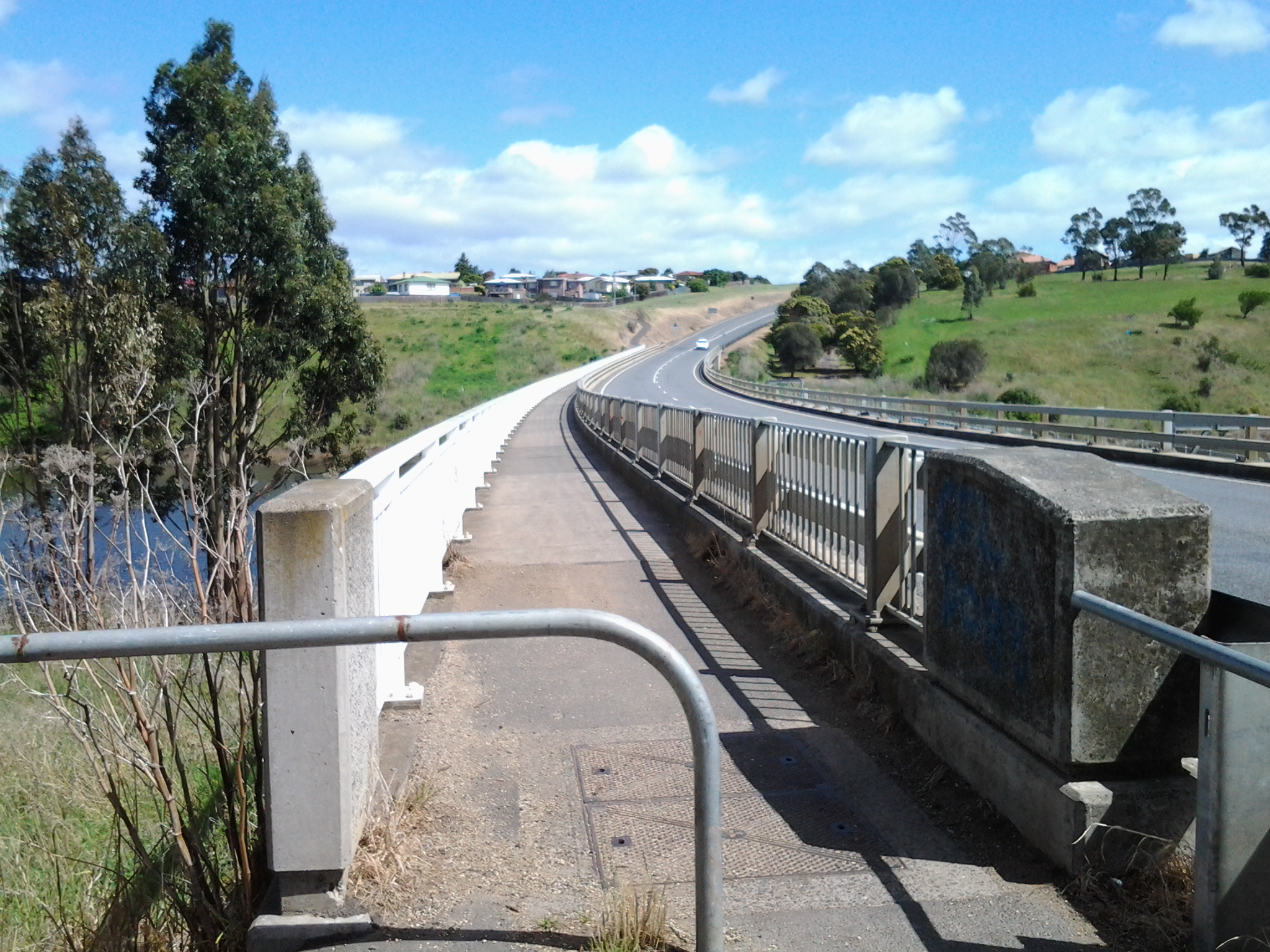
In leaving Herdsmans Cove, I was back on the East Derwent Highway and immediately crossing the bridge northwards across the Jordan River.

20141111_105455

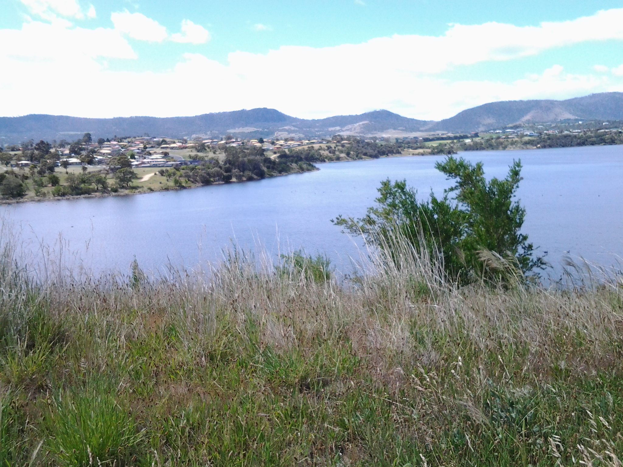
Looking towards the Green Point peninsula at the far end (Derwent River is on the other side of the peninsula) from the Jordan River Bridge: suburbs of Herdsmans Cove on the left and Green Point on the right.

20141111_105605

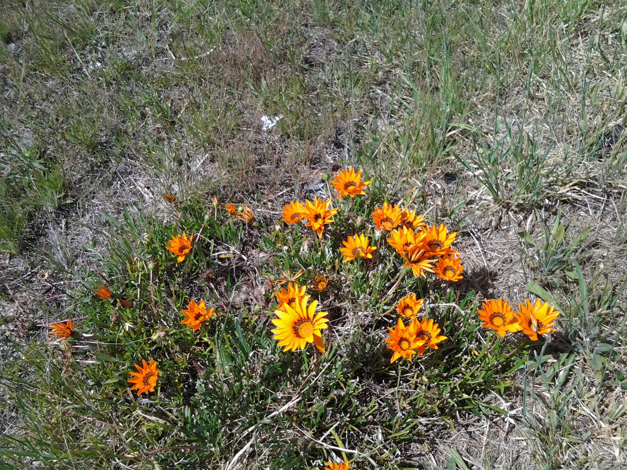
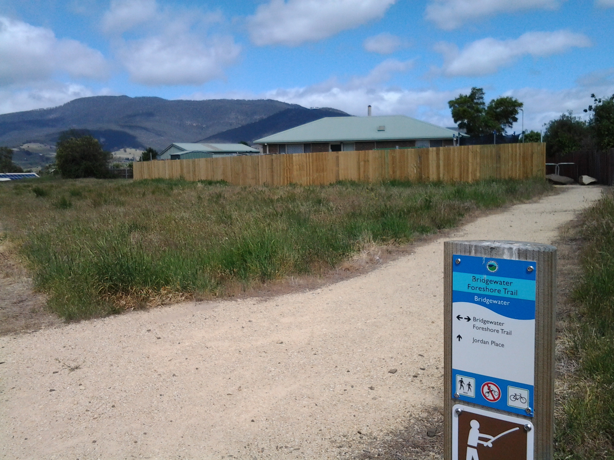
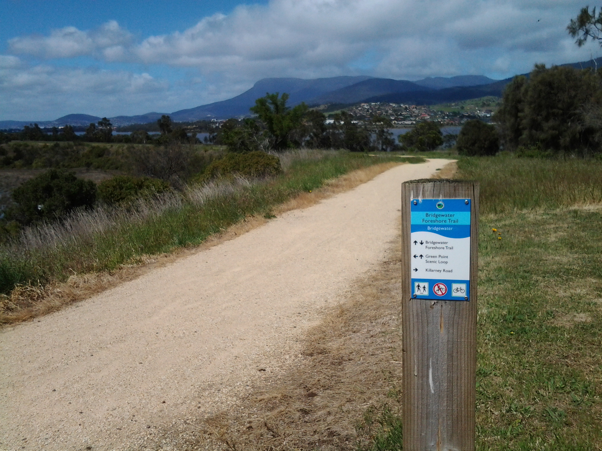
I was off the bridge by 11am and walking up the bitumen path beside the Highway until I reached a yellow gravel path to the left, where I turned and continued on with wild fennel flourishing on the sides of the path along with brightly flowering gazanias growing wild, walked around another gate and by 11.11am I reached the sign for the Bridgewater Foreshore Trail.

20141111_110243   20141111_111122

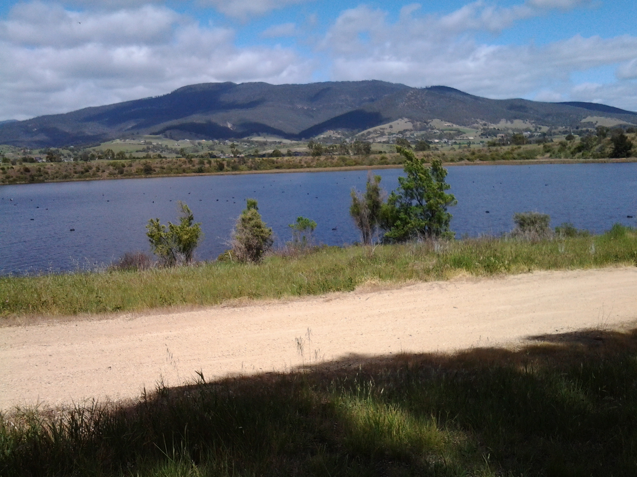
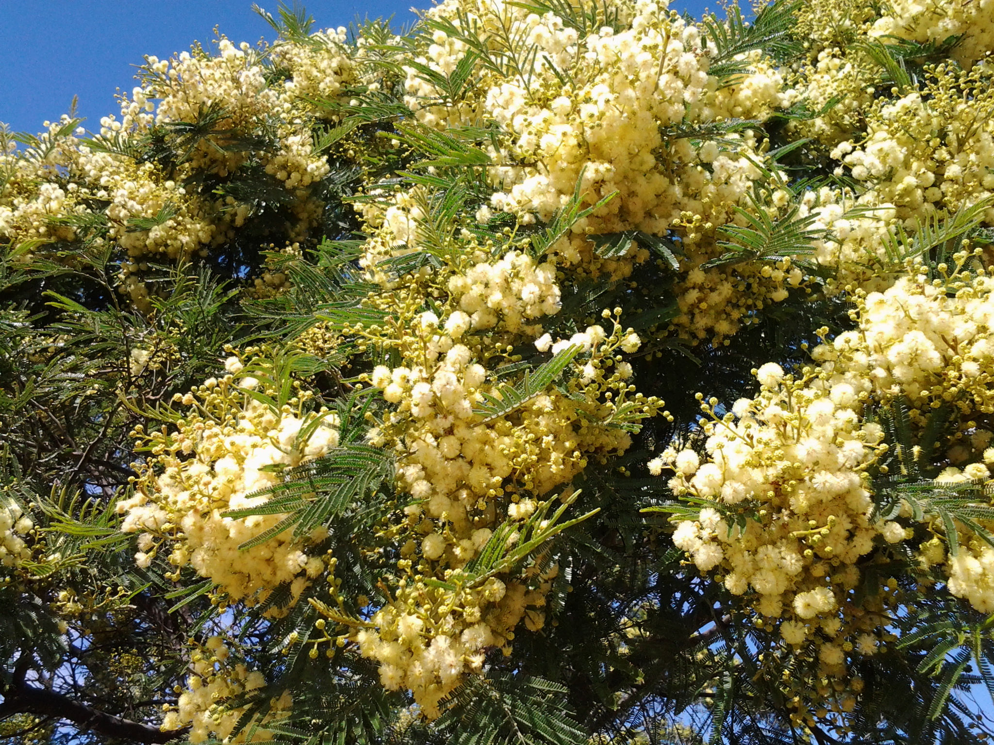
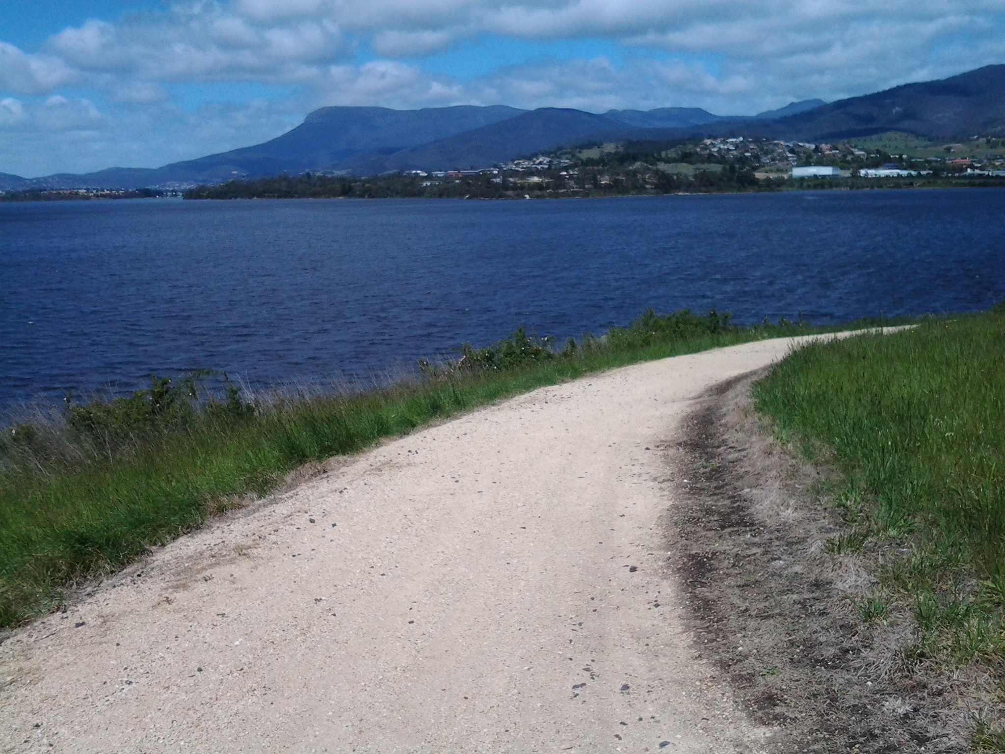
In the distance I could see rain showers softening over Mount Wellington but I was dry and walking in the sunshine. After rounding another gate, a sign pointed out the Green Point Scenic Loop off to the left. I headed along this in a southward direction enjoying the fresh smell of the gum trees and the perfume of the wattle flowers.

20141111_111239  20141111_111236  20141111_111233  20141111_111231  20141111_111500  20141111_112105

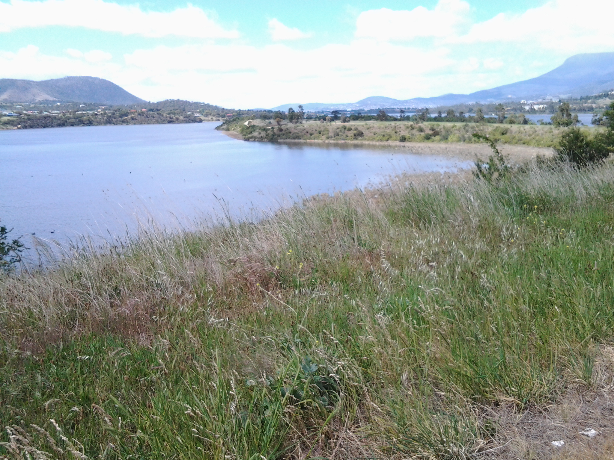
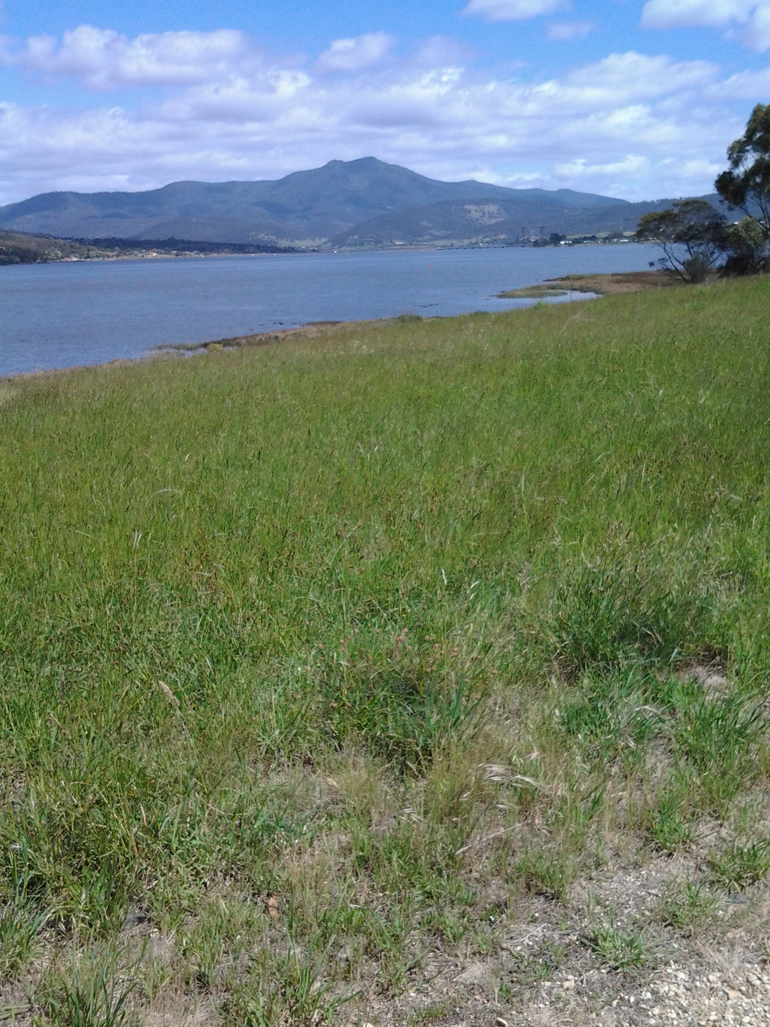
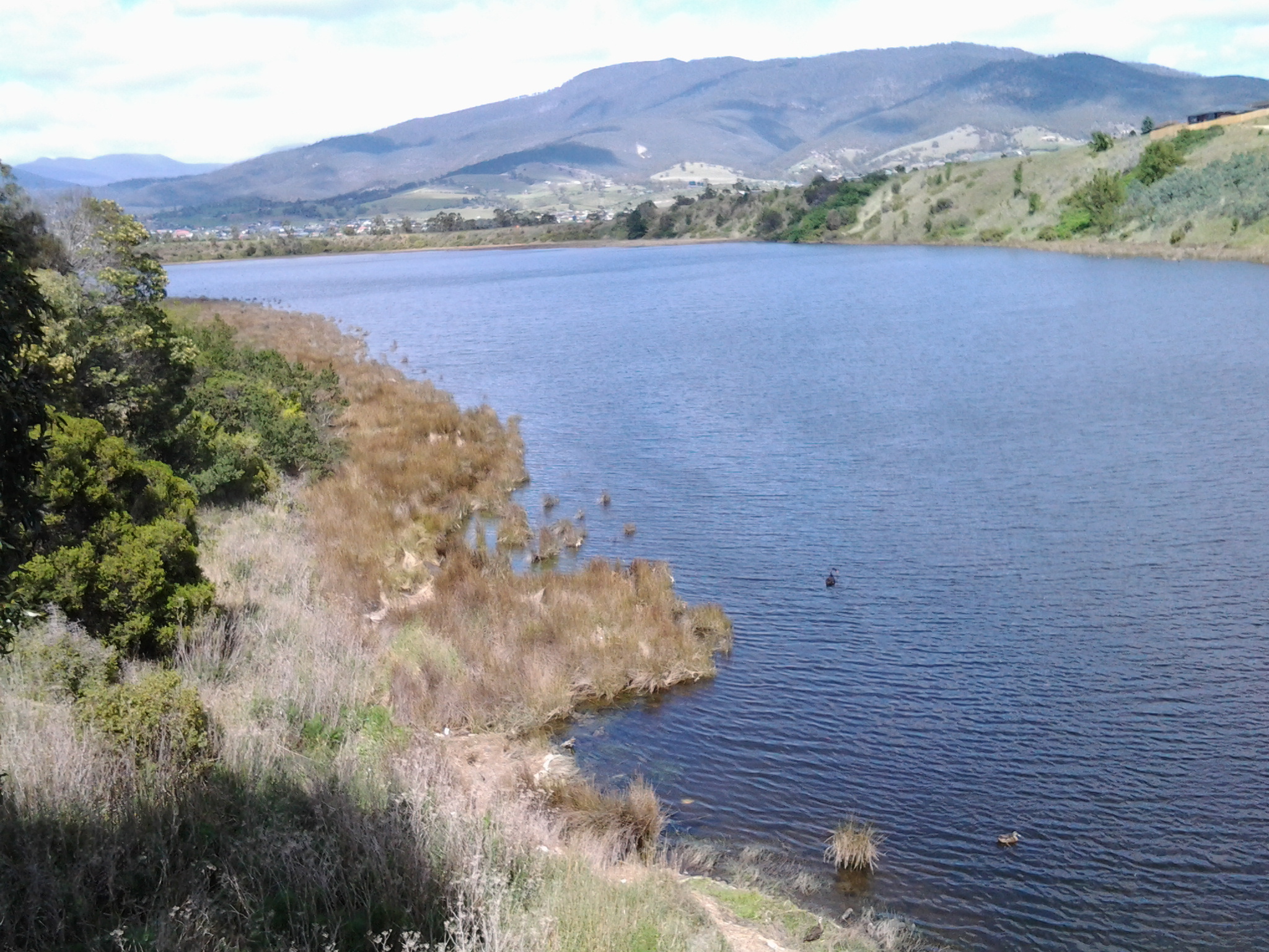
At 11.35am I reached the point of Green Point at the junction of the Jordan River with the Derwent River and sat on the grass beside the path for a brunch break.  My breakfast was eaten at 6am so I was a smidgin hungry by this time. A strong south westerly wind blew across the Derwent River and buffeted me. The freshness was invigorating.

20141111_113217 20141111_114835

Ten minutes later I was up and walking on.

A few minutes after midday I had passed some more gates and signs and had chosen the trail closest to the shore leading north. On my right were the fences of some houses, and either someone had dumped their rubbish over the fence or the wind had blown it there. I was amused to see a blue hard plastic chair hanging on a washing line.

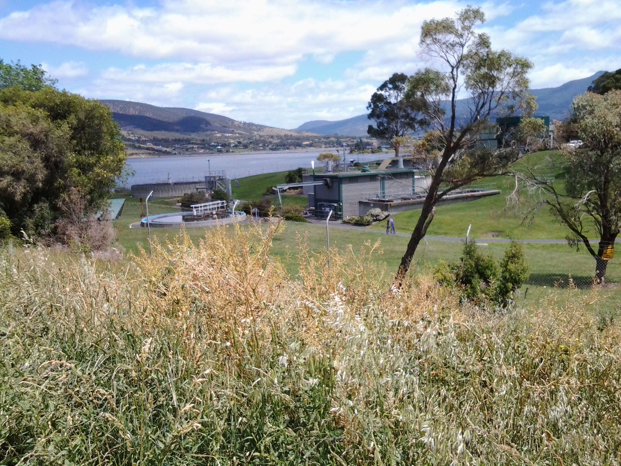
Just after 12.30pm I walked around the Green Point Waste Water Treatment Centre, or as some maps have it, the Sewage Works.  The fresh smells of wattle or gum trees couldn’t reach my nose here. For some reason?

20141111_123316

Near the Treatment Works I walked back on a street for some metres before coming around a corner where I was able to return to the yellow gravel road (am I Tasmania’s version of Dorothy from the Wizard of Oz?).

Now I was about to walk around the suburb of Bridgewater.

Onwards into and around Herdsmans Cove on the 8th stage of my walk along the Derwent Rive

At 9.48 am I was leaving Old Beach and continuing my walk northwards along the East Derwent Highway with its noise of heavy trucks and speeding cars passing me by. To my left were masses of overgrowing blackberry brambles reminding me of the thicket scrambled through on my last walk.  Not long after, the hint of a track on the left took me away from the edge and above the Highway and a little closer to the River.  I continued for a while when it seemed like the track would descend into Gage Cove, but it petered out – I recommend anyone following in my tracks stays on the Highway. Overhead soared a large hawk or kite drifting on the breeze while looking down for a feed.   Below I could see black swans feeling safe on the waters of the reedy Cove. Back towards the road I walked, clambered over a collapsing barbed wire fence, and eventually down onto the unprotected road verge and again sometimes into the ditch (with the thrown cigarette butts and the jetsam of McHappy Meals). At 9.58am I reached the sign for Gage Brook and soon after observed some water ran below towards Gage Cove, amidst a conglomeration of marshy and spiky vegetation.

I continued past a second sign directing traffic to the Baskerville Raceway, and at 10.10am I turned left at a major roundabout (suburb of Gagebrook to the right, Bridgewater straight ahead and Herdsmans Cove to the left). A minute later I turned left at a T-junction then left again at Calvert Court at 10.19am.

I loved hearing the wind in the massive gum trees.  Majestic to look at. Thrilling to listen to. The photo bellows shows a stand of gums in a mowed parkland beside the Bellerive walk. The trees I saw at Herdsmans Cove were much larger.

20141111_121906

At 10.23am I turned left at a short unnamed cul de sac with an empty block leading to a foreshore trail. Two locals, who were mowing lawns, confirmed this was the way to go. On the track, a sign gave directions along this ‘Swan Park Trail’.

20141111_102504  20141111_104216

I never discovered if there was an actual Herdsmans Cove as in a bay or body of water, but I suspect it may be the small inlet adjacent and north of the Lamprill Circuit. If I had turned left I could have walked the Lamprill Circuit. However, because I could look down and could see a small shelter structure had been built at a vantage point where the River and mountain views could be appreciated and I realised going down meant coming back up a hill, I did not pursue this direction.

20141111_102911

Instead I turned right and headed northwards. This was the first of the Brighton local government signs and it made me more confident of where I was walking as I came across more.

At 10.30am I was rounding another gate and soon, away in the distance, I could see the tops of the Bridgewater Bridge.

20141111_111825

The walk around the suburb of Herdsmans Cove was uneventful. Lots of bird song beside the path and scattering tiny birds in the long grasses. A brilliant Blue Wren flitting. Mounds of black swans like dark rocks sleeping on the rocky shore. Foreshore Trail signs off and on. Gates to walk around.

20141111_104537

Eventually I was curving back towards the Highway and nearing the bridge over the Jordan River. Initially I was looking across the Jordan River at the suburb of Green Point (part of Bridgewater) –

20141111_104541

Then I was approaching the Bridge.

20141111_105339

A TasWater worker had parked his vehicle and was absorbed in problem solving inside a building alongside the Jordan. Beside him, I took an informal track up and onto the Jordan River Bridge.

20141111_105331

Major milestone achieved on 8th stage of my walk along the Derwent River

Originally, I decided to walk the length of Tasmania’s Derwent River without research, foreknowledge of the challenges, and without determining the possible milestones.

With hindsight, actually starting the walk and reaching the Bridgewater Bridge were my two main milestones held subconsciously and not recognised at the time.

In late August this year I started at the southern tip of the South Arm peninsula (Cape Direction) and today I have not only reached the Bridgewater Bridge but crossed it and started the walk back towards the mouth of the Derwent River on the western shore.

I am rather amazed that such a thing is possible; to walk such a distance in this day and age and to do so for pleasure doesn’t seem quite real. And yet it is truly possible, even when my feet feel permanently crippled and I want to crawl. Just one foot after the other and it doesn’t matter how long it takes me to put one foot in front of the other. It only matters that I keep doing it. And then and only then can such milestones as today’s be achieved.  And celebrated, which I am about to do.

I was also mindful that today Australia marked the ANZAC soldiers killed and injured in the World Wars and others more recently with Remembrance ceremonies and a minute’s silence across the nation at 11am (on the 11th day of the 11th month). I have nothing to complain about and only much for which to be grateful. The photo below was taken close to the Bridgewater Bridge on the eastern shore.

20141111_131254

Over the coming days, I will write detailed postings of today’s walks through the suburbs of Old Beach, Herdsmans Cove, Bridgewater and starting into Granton South; the areas that I have passed and the trails that I have followed. For now it is enough to know that I have walked yet again, and the countryside and cityside has simply rolled along beside me.

Today I was away from home for almost 9 hours partly because the walking area was relatively difficult to access and leave from by public transport. Some waiting and bus changes were required. Of these hours, just under 5 hours were involved with walking from the starting point in Old Beach to the start of the Bridge, and 1/2 hour was involved from the Granton end of the Bridgewater causeway until I jumped on a bus somewhere in Granton South. Including crossing the Bridge, I walked approximately 16 kms.  Approximately 14 and1/4 kms on the eastern shore, and 3/4 km on the western shore by the Derwent River. So far I have walked 93 kilometres.

At the end of the 7th stage of my walk I had covered 34kms of the length of the Derwent River. Add another 4.5kms for today’s 8th stage and the total distance from the mouth of the Derwent River to the Bridge on the eastern shore is 38.5 kms as ‘a crow might fly’ more or less straight down the centre of the River (by my reckoning – perhaps others will argue). The length covered today of the Derwent River from the Bridge southwards on the western shore is about 1/2km.

Before each stage of my walks along the Derwent River, I have been somewhat nervous about how everything will go and how my body will hold up, yet there has never been any event or location that has turned out to be a problem. My walks have been ‘smooth sailing’. This morning I was particularly anxious because of the less savoury activities of some of the people who live in Herdsmans Cove and Bridgewater. I was also thinking about Tasmania’s ‘ice’ epidemic and remembering that some addicts can go for 7 or more days without sleep and therefore can be totally irrational. I was hoping not to encounter any unpleasantness and I didn’t. So I am delighted to report that today’s walk was safe, beautiful and calm. Quite marvellous in its simplicity.

The photo below is a close up of wattle blossom. The seductive heady perfume surrounded me most of the day.

20141111_103716

Acknowledgement of Country – to the Paredarerme people

The first people to live along the Derwent River were the Paredarerme people otherwise known as the Oyster Bay tribe. The Moomairremener people, whose land I have been walking on from South Arm to Old Beach, were one band of the Paredarerme people. I cannot find the specific name of the Paredarerme people along the Herdsmans Cove and Bridgewater area where I will walk tomorrow, although the Moomairremener people did move up and down the Derwent River.

I will be walking on the land of the Paredarerme people as I continue my walk along the eastern side of the Derwent River.  Therefore,

“I acknowledge and pay respect to the Tasmanian Aboriginal community as the traditional and original owners and continuing custodians of this land.”


The Paredarerme people – the original indigenous owners of the land along the Derwent River

Prior to European settlement the district around Bridgewater and Herdsmans Cove was inhabited by the Paredarerme Aborigines, the largest indigenous tribe in Tasmania.  Geographical locations associated with this group include the Derwent estuary, Jordan River and New Norfolk and much further afield along the east coast and into central Tasmania. ‘Oyster Bay Tasmanian’ or ‘Paritarami’ is the aboriginal language of these people.

From http://www.heritage.tas.gov.au/media/pdf/September%202011.pdf , “the history of the Paredarerme (Oyster Bay) tribe, estimated to be the largest Tasmanian tribe at the time of European settlement with 10 bands totalling 700 to 800 people. Theirs was a nomadic, but complex society, with strong cultural traditions. The Paredarerme people constructed uniquely Tasmanian reed and bark boats. It is believed these vessels date back at least 4,000 years and were used to access offshore islands and traversing inland waterways.” The site, http://www.museumsaustralia.org.au/admin/email_templates_archive_message.php?id=428 continues with additional information: “Collecting the plant materials would have involved the whole tribe, with men collecting large pieces of bark and being responsible for the canoe’s construction. It would take considerable strength to lash the plant materials to form a strong and robust vessel.  These would have been used to collect shellfish, crayfish, and to hunt seals along the coast. They were also used to cross the stretch of water now known as Mercury Passage to Toarra-Marra-Monah (Maria Island), choosing good weather to cross from Rheban to Lachlan Island, then across to Maria Island.”

Paredarerme Tasmanian Aboriginals are now collectively referred to as Pungenna Culture. On http://pungennaart.wikifoundry.com/page/bush+tucker, I found photographs of traditional foods. I should not have been surprised to see pigface as one of the foods – in earlier postings I have included photos of this gorgeous pink flowering plant which grew by the Derwent River.

20140822_095628

Bridgewater

Tomorrow, on the 8th stage of my walk along the Derwent River, I expect to reach and walk through a second suburb. The suburb of Bridgewater is located within the Brighton Council municipality on the eastern shore of the Derwent River, adjacent to Herdsmans Cove the suburb of which is located slightly to the south. The original settlement was known as Green Point.

Bridgewater has four primary schools, one high school and a Trade Training Centre all linked into the Jordon River Learning Federation.  According to http://www.aussietowns.com.au/town/bridgewater-tas, “in the 1970s the area saw a public housing broad-acre estate which gave it a reputation. By 1997, Bridgewater was considered to have Australia’s lowest level of wellbeing. Whole streets of public housing stood vacant, houses smashed and torched. Housing Tasmania administrators remember people writing on their applications that they wouldn’t live in Bridgewater or Gagebrook – no matter how desperate they were.By 2003 Bridgewater was experiencing a housing boom and property prices, particularly for houses and land overlooking the Derwent River, tripled and quadrupled.”

I suspect Bridgewater has ‘grown up’ since those days and I look forward to seeing what it now offers.

A current profile of the suburb indicates the following: the median house price is $159,000; its population is 4024; its median household weekly income is $680; the median age of its residents is 32; the median housing loan repayment is $1036 monthly; 52% are not married and 14% are in a defacto relationship; 17% are under 14 years of age.  I wonder what this will all mean practically on the ground as I walk the paths along the Derwent River. Probably nothing at all.

Herdsmans Cove

On my walk northwards towards the Bridgewater Bridge, the next Brighton Municipality suburb that I will walk through as I continue along the Derwent River, will be Herdsmans Cove.  I hope I will be discovering this residential development tomorrow; the weather forecast is good.

According to http://www.yourinvestmentpropertymag.com.au/top-suburbs/tas-7030-herdsmans-cove.aspx, this northern suburb of the Greater Hobart Area has a population of 1134. The median weekly income is $675, the median age of residents is 25 years, with the median monthly house loan repayment is $879, 52% are not married and a further 20% are in a de facto relationship, 56% are not in the labour force and only 20% work full time.  Of those employed, 30% are labourers.  67% of people in Herdsmans Cove rent their accommodation. There is a sense from newspaper articles that this is a suburb suffering from a range of social problems including irregular school attendance, low educational achievement, unemployment and higher than average crime rates. Surely sitting next to the beautiful Derwent River with a stunning view of Mount Wellington in the distance and the Mount Faulkner Conservation Area across the way could be enough to lift people’s spirits.  But I guess that the superb natural features do not lift the bank accounts of local residents.

I will be most interested to see the natural features of this suburb tomorrow.