Tag Archives: McCarthy’s Point

Where am I when I am on my walks? “Give me a map”, many cry.

Some readers have despaired for the lack of a running map which shows precisely the tracks where I have walked. I and others continue to try and solve the problem.

Meanwhile, for those who are unaware, I do create a location map with each posting. The map is static and simply pinpoints one place but at least it is a guide to where I was during that leg of the walk.  Sometimes if a location is not within Google maps then I cannot show it as the main location. For example I wanted to include a map with the McCarthy’s Point location but was limited to the two bays either side. This was problematic when the posting had nothing directly to do with the bays either side – but I chose one just to give readers a guide. When I want to pinpoint the Derwent River, the map highlights the southern suburb of Kingston.  Ahhhh I sigh.

There is another unfortunate matter. I now realise that those readers who are ‘followers’ by automatic email do not get direct access to that location map. For interested readers, when you receive the email you need to click onto the heading of the posting and this will take you to the website.  At the bottom of the posting on the website is a link which you click to open the map.

I realise that this is a tedious and tiresome process, but it may help some readers to orient themselves better.

From McCarthy’s Point to Berriedale on my 9th walk along the Derwent River.

When I turned around for my last look northwards from McCarthy’s Point across Connewarre Bay and the main body of the Derwent River, the Cadbury factory was sunlit. I found it difficult to believe I had been there only 1 ¼ hours ago because of my experiences with new vistas since then: now the Cadbury factory seemed so far away.

20141125_144658

The walk from McCarthy Point moved along a pretty trail, well-trodden by others. It made for excellent walking.

20141125_144433

The vegetation was often lush and overgrown with free sown exotic plants.

20141125_144540  20141125_144548  20141125_144652

Before reaching Lowestoft Bay in the distance I was puzzled by … was it a woman washing herself in the garden.

20141125_145547

Of course on closer inspection this clearly was not the case.  First impressions can be so wrong!

20141125_145610

I thought the concrete blocks flanking ‘her’ feet were rather special element of the installation of this sculpture.

Closer to the water’s edge in front of this property stood a flag pole. This Australian flag was protected from the wind by nearby trees.  Considering the gale that blew around me all day in every nook and cranny it was extraordinary to have a moment of calm here.  Perhaps winds don’t blow here. Perhaps the flag always droops.

20141125_145623

In the photo above, across the Lowestoft Bay a section of the Berriedale Caravan Park is visible.

But before I reached the Bay,  I surprised a clan of rabbits happily resting on the leaf strewn path ahead of me.

Rabbits

I had the feeling they were not used to pedestrians on a weekday and were most put out as they scurried off to hide.

From Windermere to McCarthy’s Point via Coonewarre Bay on my 9th walk along the Derwent River

The track from Windermere southwards was not signposted but with hunches I found a well walked and easy informal track, the start of which was rather obscure.

20141125_141924

20141125_142038

More black swans swimming.

20141125_142042

I loved the tall stand of pine trees which featured on one part of the track to Connewarre Bay.

20141125_143150

This was my first view of Connewarre Bay with the backdrop of prominent Mount Wellington.

20141125_143336

Once near the houses with their lawns extending to the water’s edge, I came across a wonderful piece of rustic furniture to be enjoyed by walkers such as myself. The wood’s soft grey weathered tones were immensely attractive.

20141125_143454

Further along, I came across a large family of what I think were Eurasian Coots – black feathered with white bills. My books suggest these birds are found on fresh water lakes and swamps. The Derwent River, at this distance from the sea, apparently still has a saltiness from the daily tidal flows. Perhaps my identification is incorrect. Anyway this family weren’t sure whether to scurry from the shore onto the water and ‘escape’ from me or not.

20141125_143827

I continued walking around the Bay towards McCarthy’s Point.

20141125_144259  20141125_144256  20141125_144422

It took half an hour reaching McCarthy’s Point from Windermere. I loved the view across the Derwent River towards the suburb of Otago Bay with Mount Direction behind.

20141125_144425

9th Stage of walk along Derwent River completed yesterday, Tuesday 25 November

I caught two buses from my home in Bellerive on the eastern shore, via the Elizabeth St CBD Hobart and the Glenorchy City bus malls, to reach Granton on the western shore of the Derwent River in the northern suburbs of the City of Glenorchy in the Greater Hobart Area.

At 8.26am I stepped off the Metro number X1 bus at stop 47 outside the York Hotel in Granton South and, with excitement about what the day might bring, I looked around and admired the view across the River to the suburb of Bridgewater before starting the tramp south.

20141125_082854

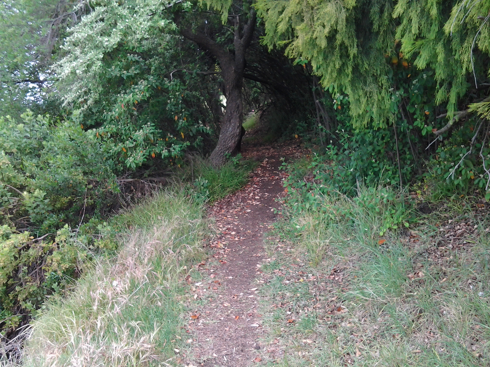
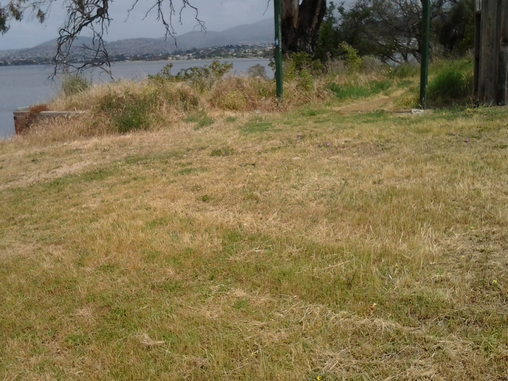
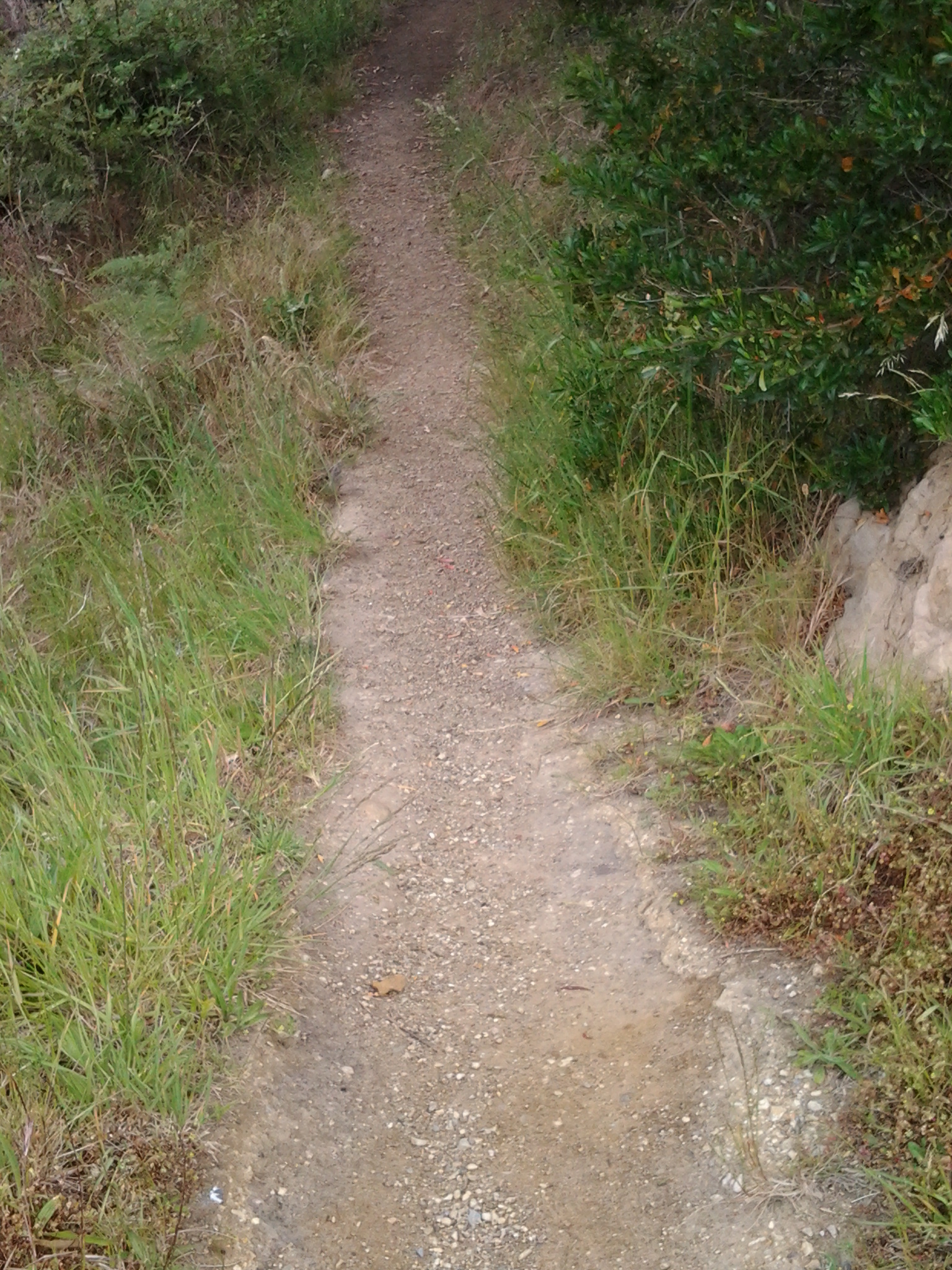
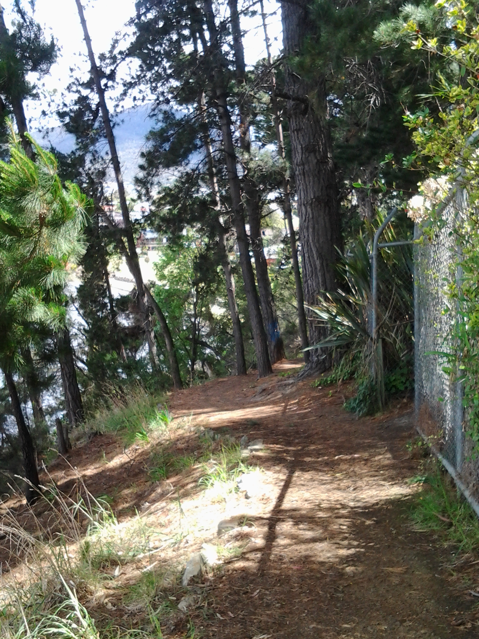
No footpaths or walk ways had been laid for pedestrians and so vigilance was required against the traffic on the Main Road. Occasionally a few metres of concrete or bitumen were laid for a new subdivision but generally a track for smooth safe walking was not on offer.

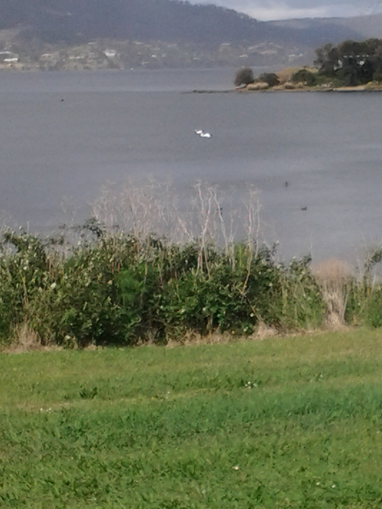
The weather started sunny but during the afternoon rain passed intermittently. In the photo below you can see the grey background blurred by rain, but meanwhile three pelicans were enjoying themselves on Lowestoft Bay.

20141125_150144

Relentless buffeting wind was the main feature all day. As a result, I couldn’t keep my sun hat attached to my head. Needless to say, I returned home with a blasted red face.  But happy from the pleasure of walking, discovery and the fresh air. Being a tourist in my home town is a revelation and a joy.

I walked southwards from Granton South to MONA (the world famous Museum of New and Old Art) at Berriedale and passed through the suburbs of Granton South, Austins Ferry, Claremont and half of Berriedale.

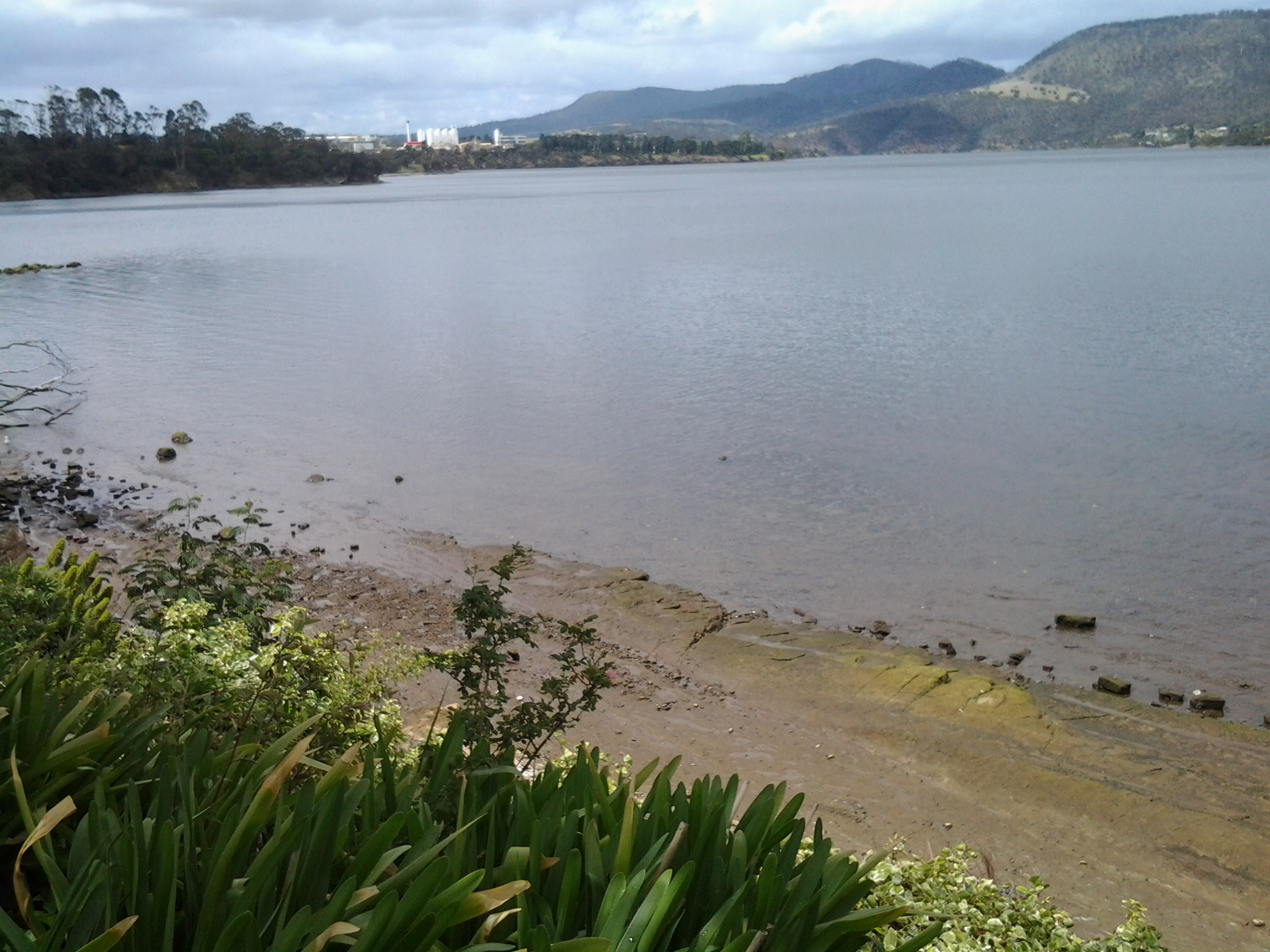
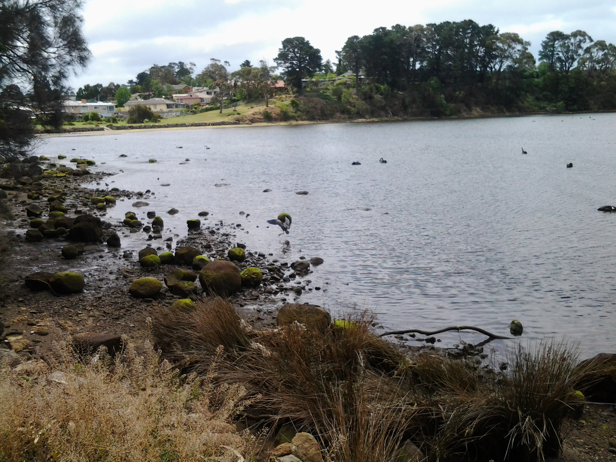
I experienced Goulds Lagoon, Austins Ferry Bay, Rusts Bay, Beedhams Bay, Bilton Bay, Dogshear Point, Windermere Bay, Knights Point, Windermere Beach, Connewarre Bay, McCarthy’s Point, Lowestoft Bay, and Cameron Bay. I plodded around bays and a golf course (I gained special permission to walk this private property but I would NOT recommend anyone else try it – see later postings), had a stopover at Cadbury’s, and hid from the rain in gazebos and art works. All up, I probably walked 18 kms.

Yesterday I covered 9 ¼ km of the River’s length on the western shore. This adds to my previous tally of 3/4km on the western shore making a total of 10kms covered as I trek southwards from the Bridgewater Bridge to the mouth of the Derwent on the western shore.

Specific details of the different legs of this 9th stage walk will be written up and posted in the coming days.

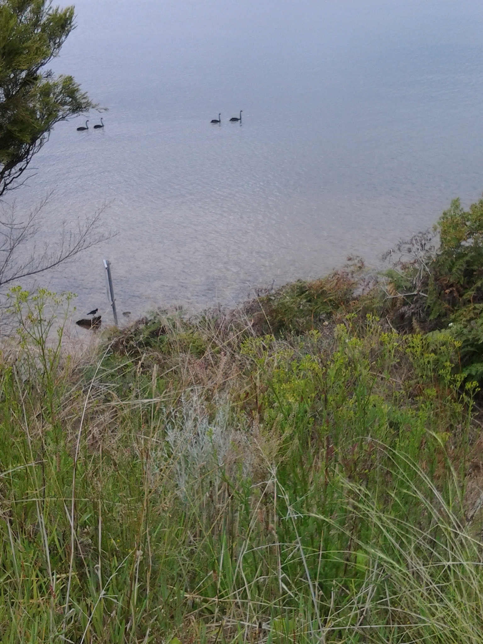
My favourite photo of the day was taken near the end of my walk, when I sat at the point where the southern end of Cameron Bay met the Derwent River (with MONA just over the hill). The water had been frothed by wind and I liked the lacy remnants floating by.  The intense colours are the result of the rich light quality caused by the heavy clouds overhead.

20141125_153054