Tag Archives: Montagu Bay

From the Tasman Bridge to Hobart’s old navy depot

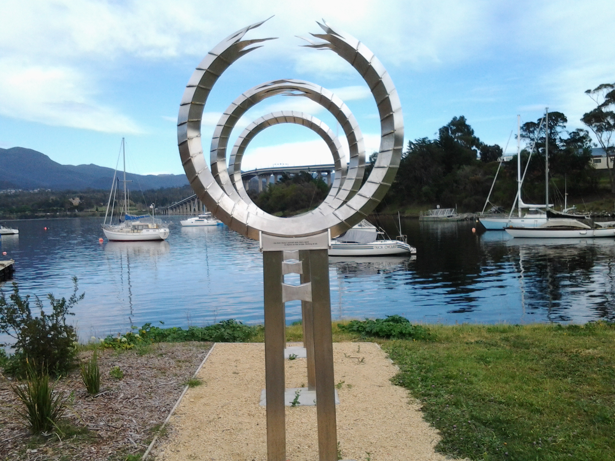
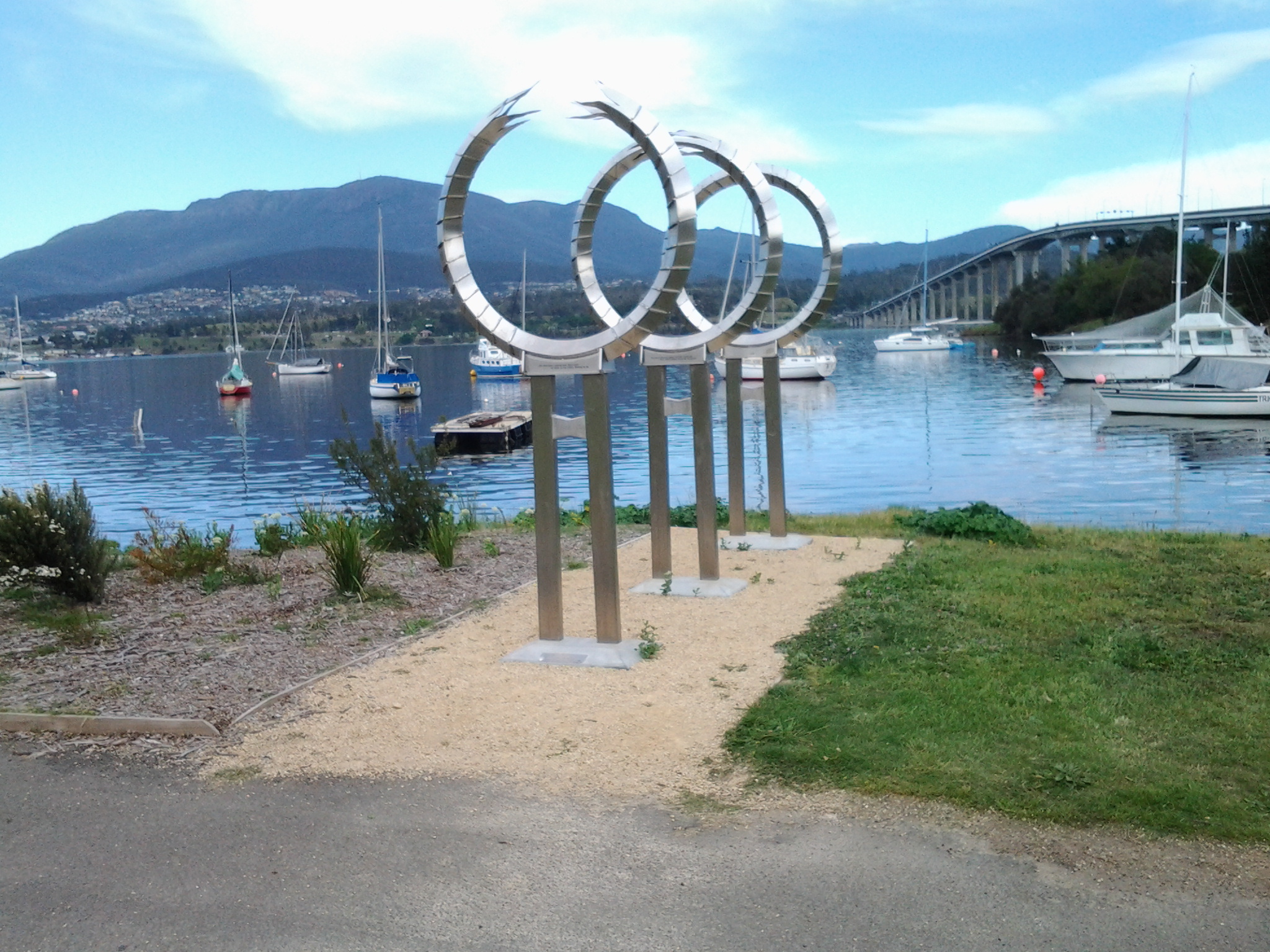
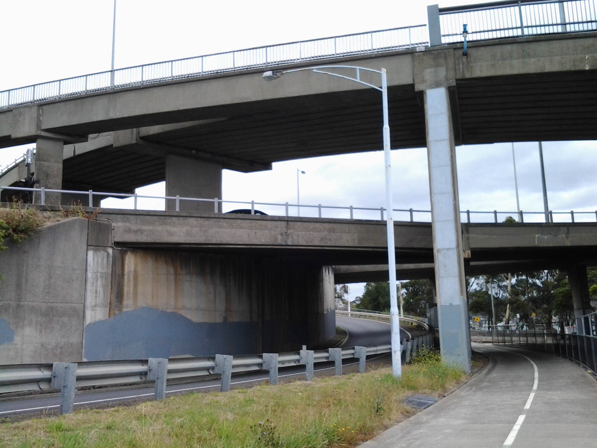
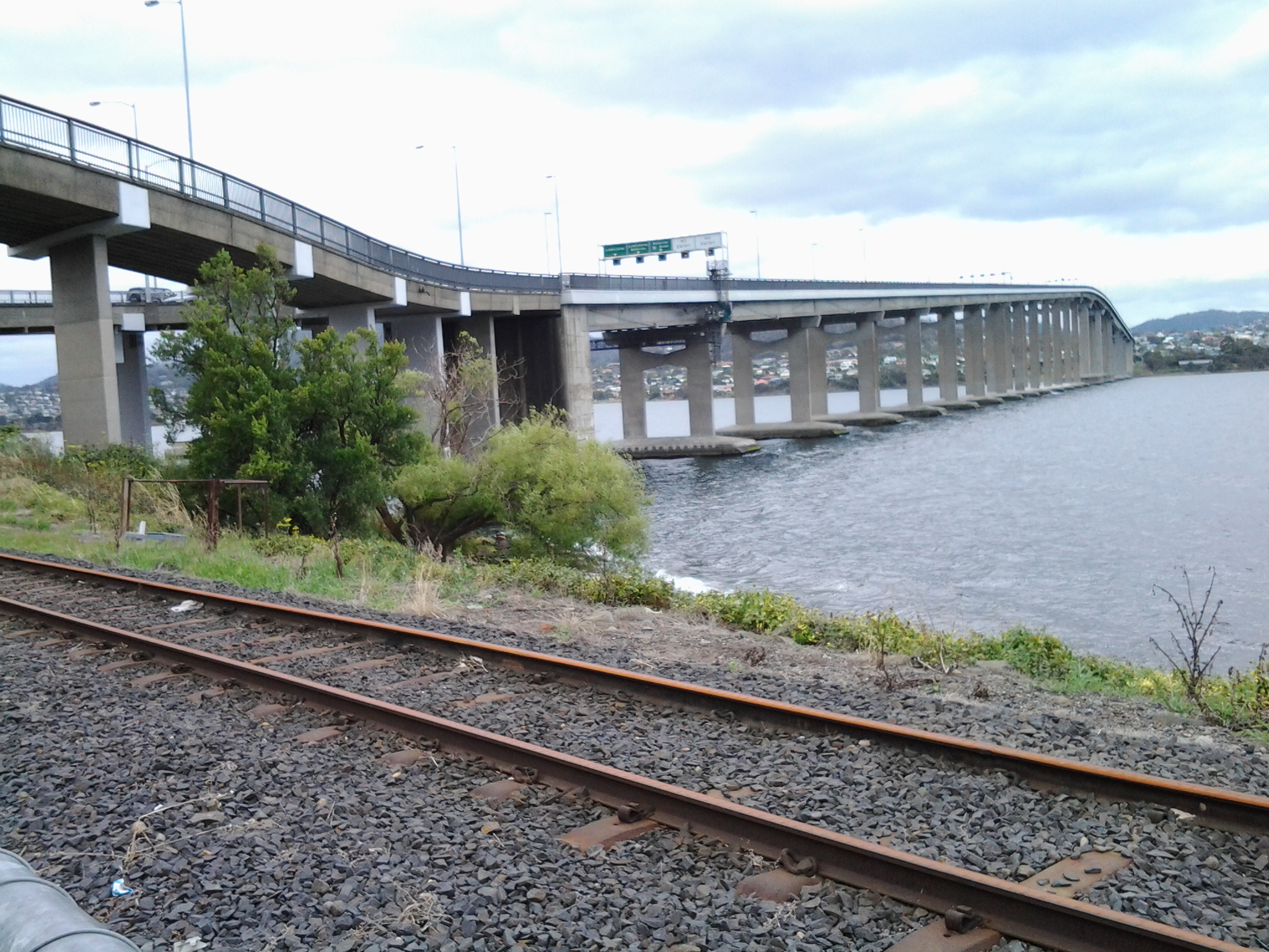
Walking from Cornelian Bay towards the city of Hobart and under the Tasman Bridge was something I had not done for a few years. In the past I could see signs of homeless people using areas under the bridge but not this time. I had a sense that some sort of industrial bridge work was in progress and that the authorities would be around and about here frequently.

20150109_152735  20150109_153103

From the Tasman Bridge into the city I remained on the bike path where I was continually vigilant for cyclists riding fast and hard – to help them and to help myself, I stayed firmly to the left of the path so they could whip by.

20150109_153134

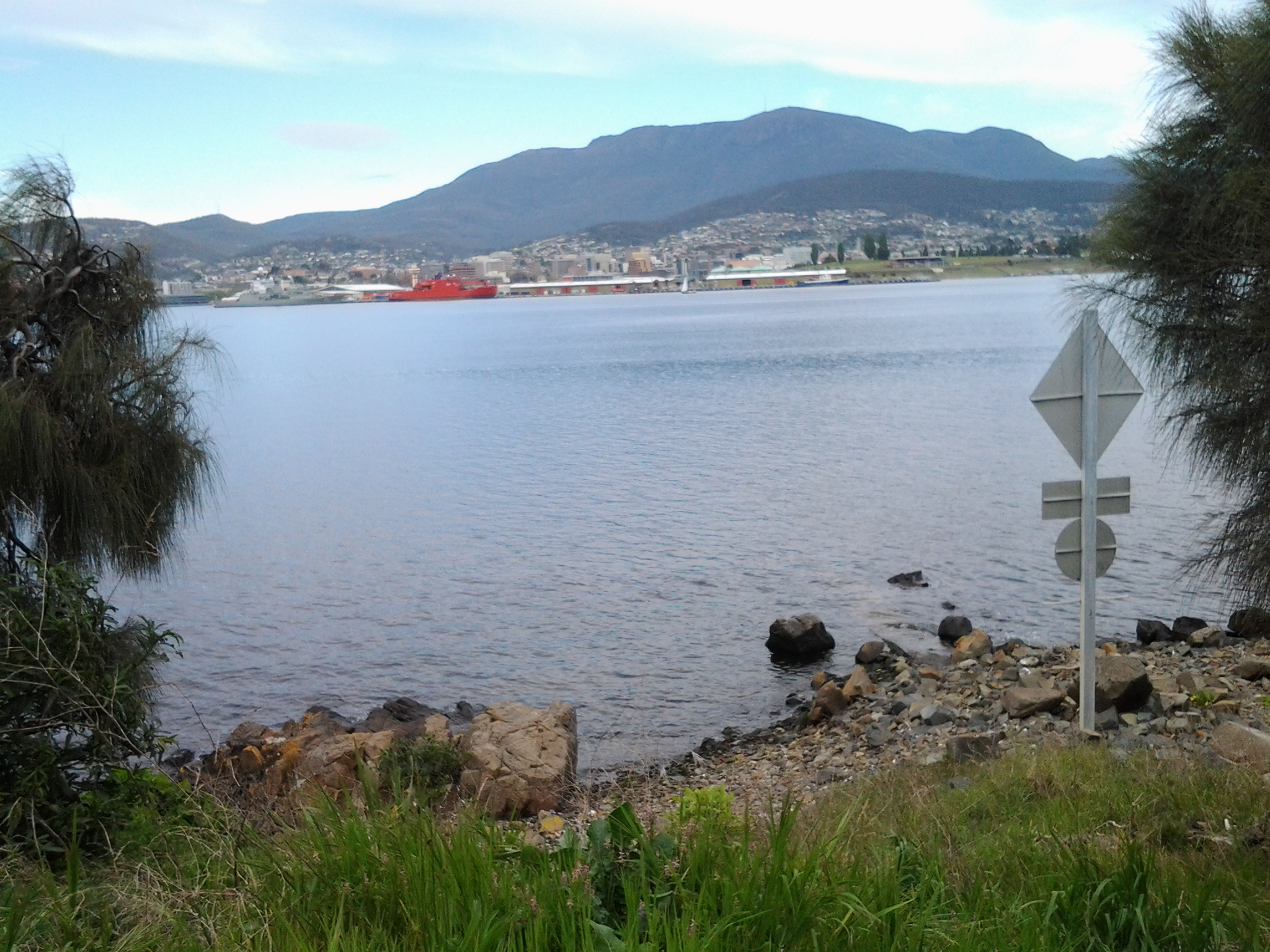
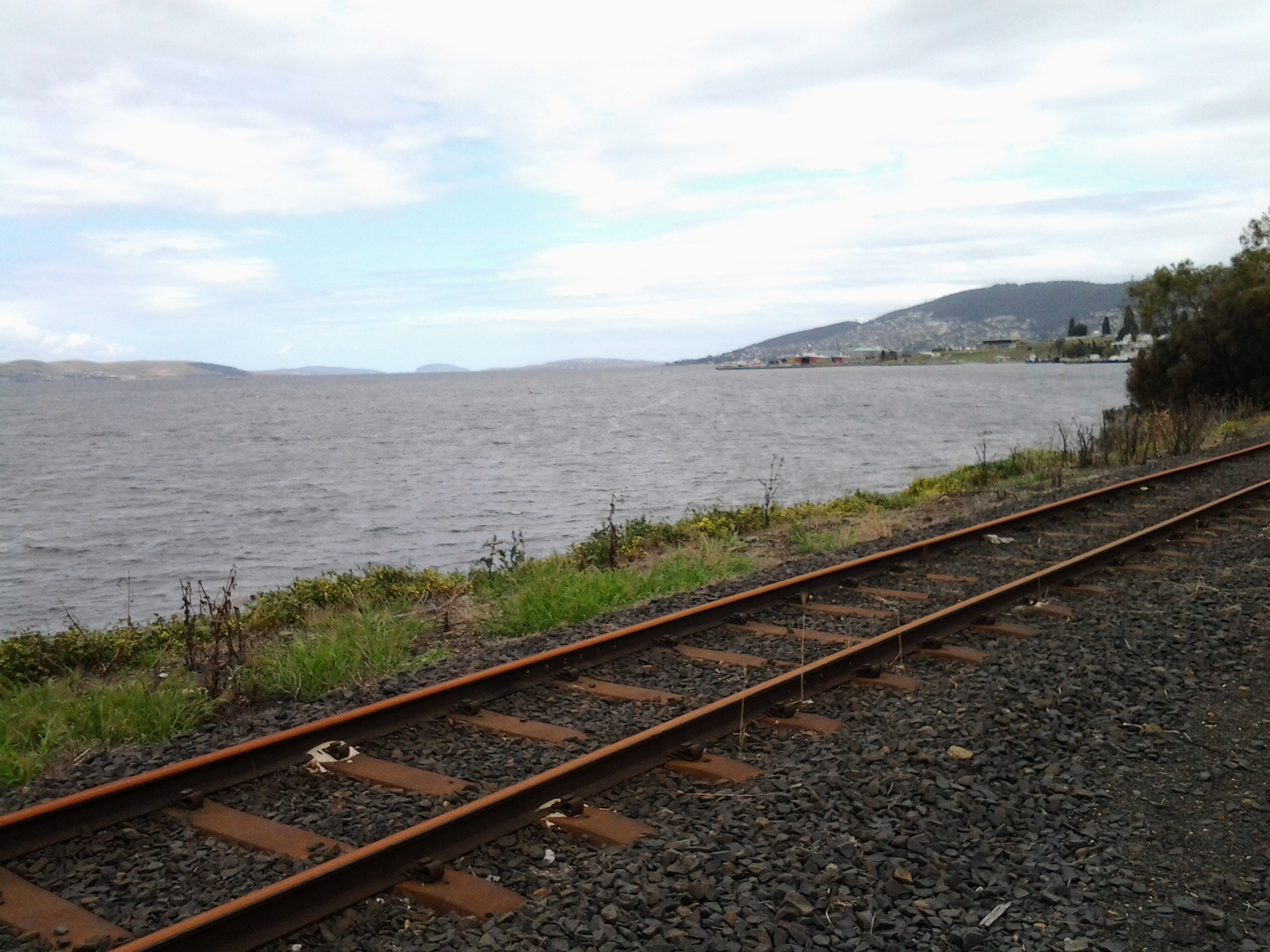
I looked over Ross Bay and across the Derwent River to the shores of previously walked suburbs such as Montagu Bay and Rosny.

 20150109_153023  20150109_153050

I looked down the river and could vaguely see the isthmus joining the South Arm peninsula to the mainland of Tasmania; an area where I walked during Stage 1 and 2 of my walk along the Derwent River.

20150109_153056

I continued along the bike path heading towards the old navy depot near the Hobart Regatta Grounds.

20150109_154621

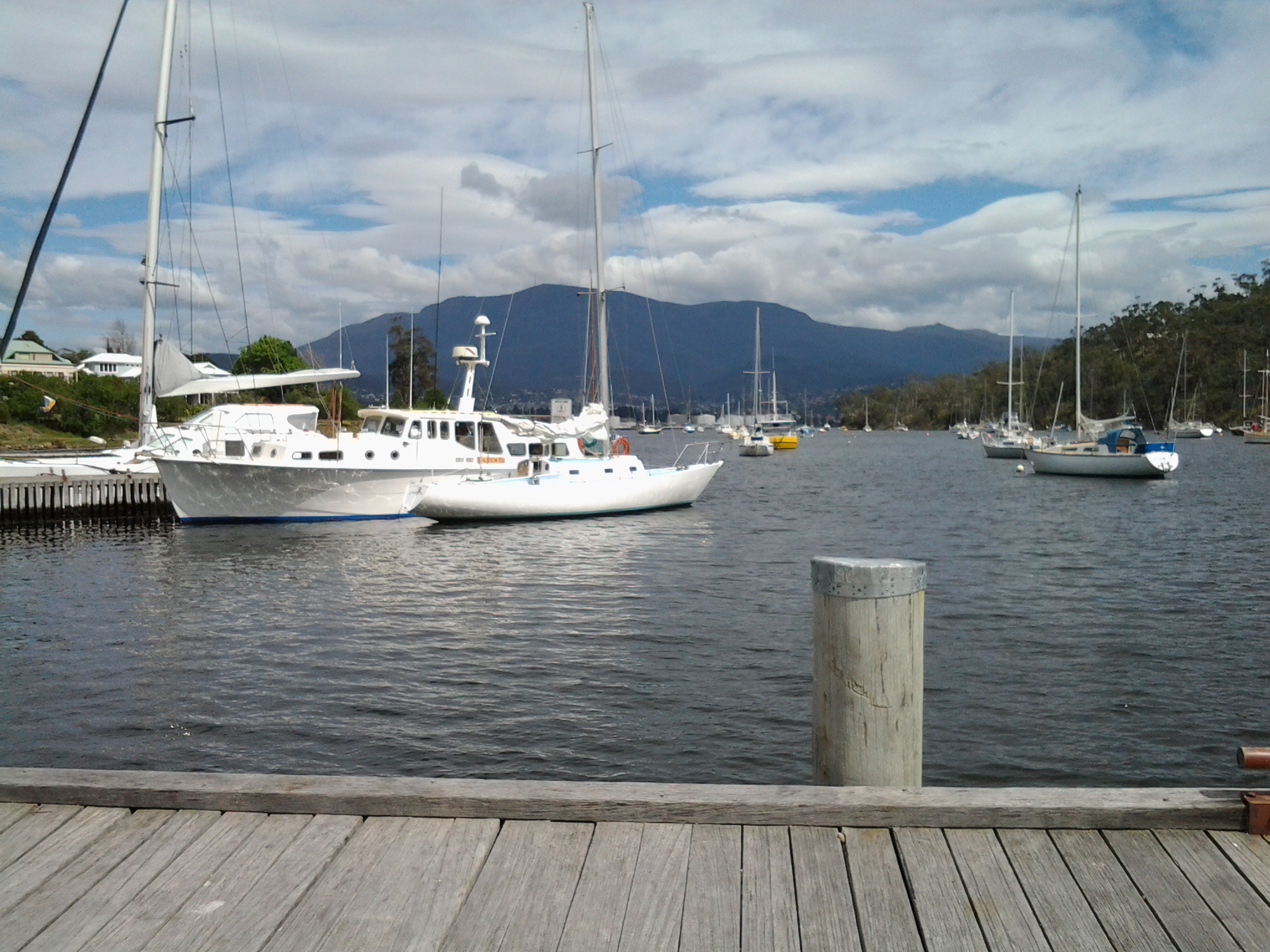
I passed two large tug boats resting at their berths.

20150109_154926

It did not seem to take a long time and much walking before I could look back and see the Tasman Bridge was growing considerably smaller again.

20150109_155228

Uphill on my right, occasionally through the trees I could glimpse parts of the 19th century sandstone block Government House.  Further information about the House can be read at http://www.govhouse.tas.gov.au/. The flag was flying high indicating the Governor was in residence.

20150109_153126  20150109_153944

Tasmania’s new Governor is our first female Governor. Her Excellency Professor The Honourable Kate Warner AM, Governor of Tasmania was sworn into service on 9 December 2014.

At 3.55pm I had arrived at McVilly Drive which crossed my path. On the rise to my right, grandiose circus tents filled my view and I could hear a performance was underway with the booming voice of a ringmaster surrounded by pumping pop music.

20150109_155515

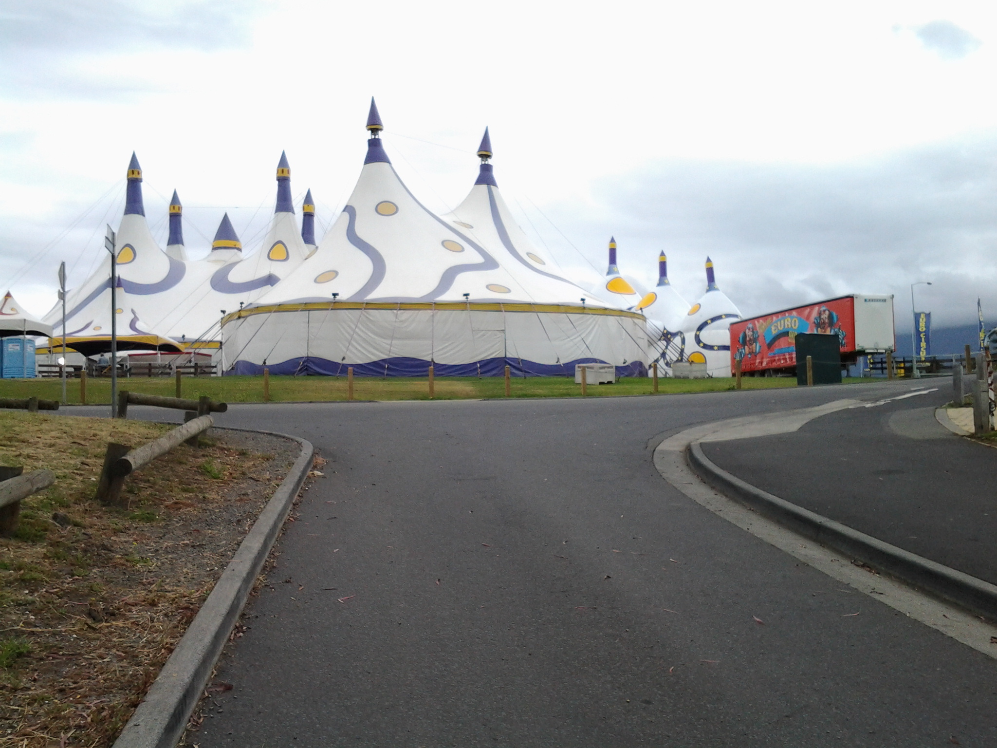
I discovered a family of powerful Clydesdale horses corralled by electric wire fences and comfortably grazing on the lawns around the other side of the circus.

20150109_162654

A different boom startled me. I realised a large ship somewhere close was blowing its ‘trumpet’. I was close to the main Hobart port. A seaplane flew overhead presumably with a load of tourists enjoying the view.

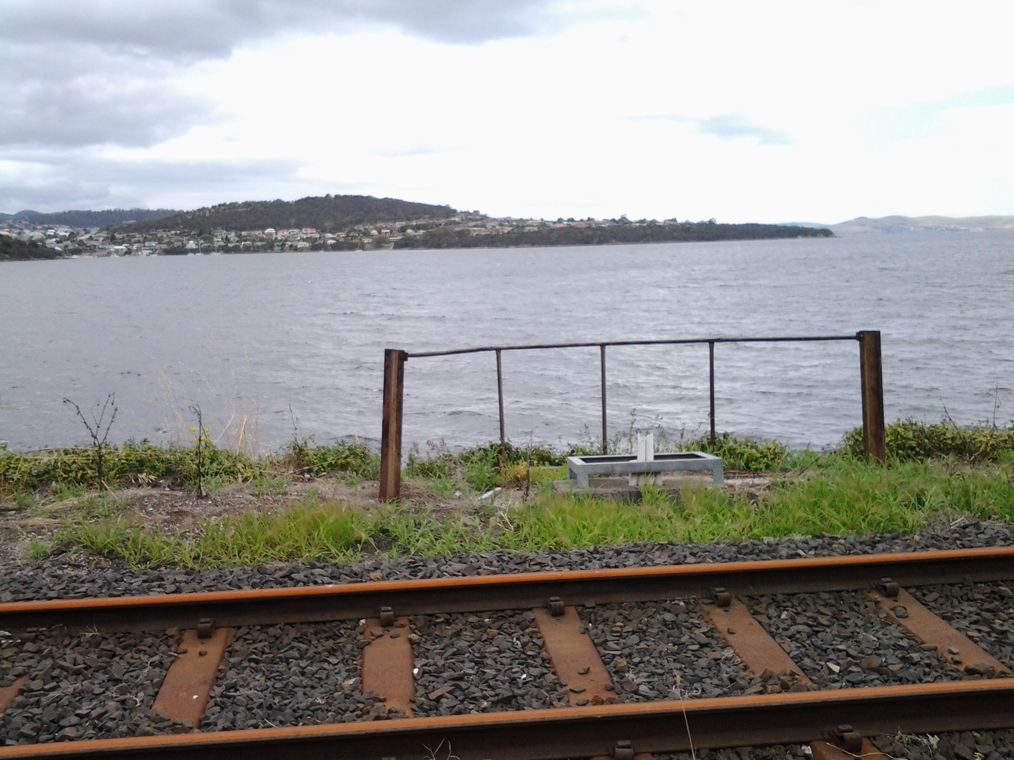
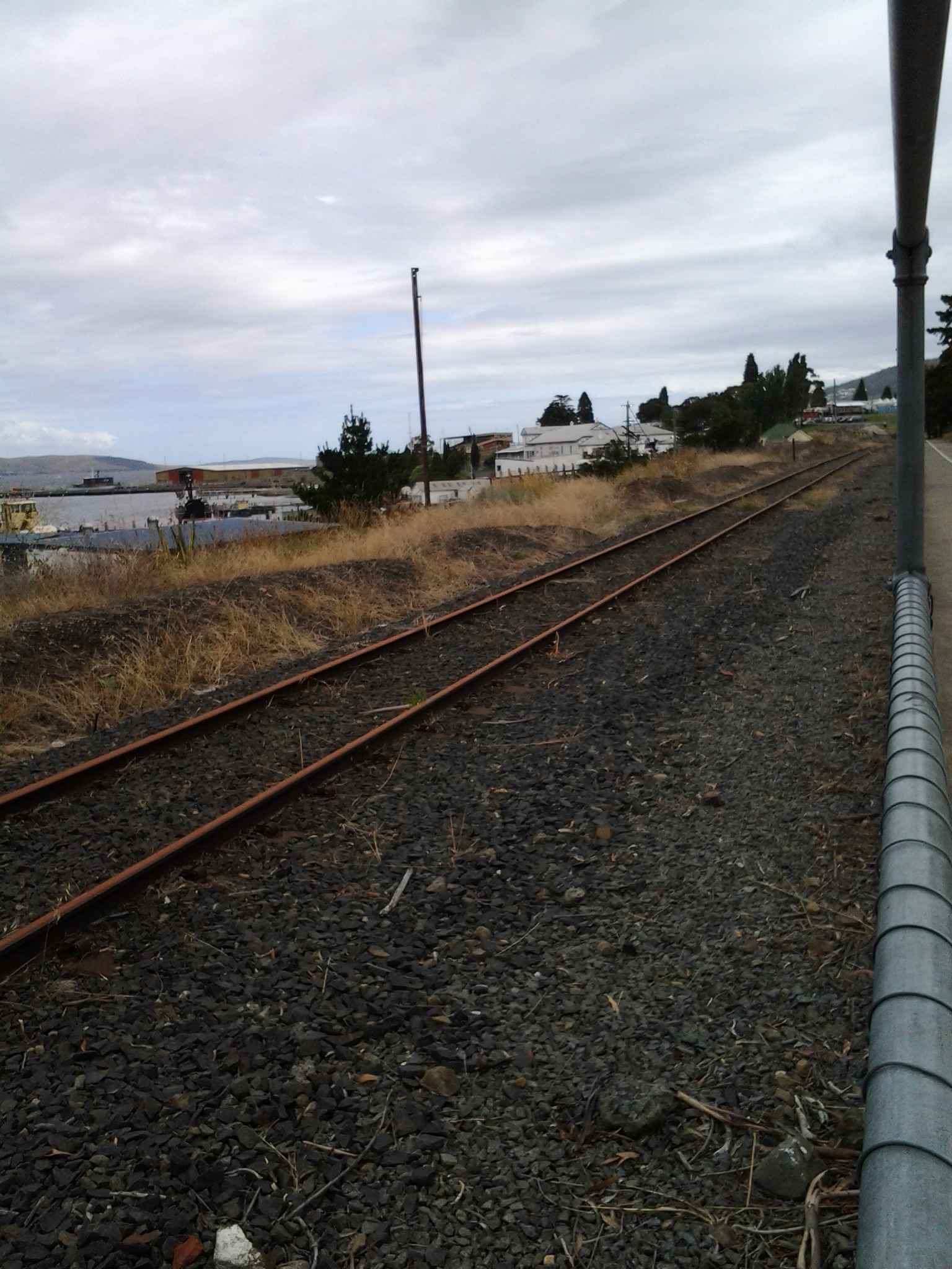
I turned left at McVilly Drive and instead of walking down to the water where I could see there would be no further access southwards, I chose to walk to the right along the metal sleepers of the disused railway line behind a cluster of old white painted buildings, which had started their lives as a navy depot.  Once past the back of the old buildings I walked downhill, watched a cluster of fishermen not yet catching any fish, and turned left and walked northwards along a road leading to an entrance to the navy depot.

Currently known as Huon Quays and located at 17 McVilly Drive, Hobart, you can refer to photographs at http://www.realcommercial.com.au/property-land+development-tas-hobart-501343663 and see that this set of old buildings could be sold for a hotel development.  First built in 1914 as a naval depot, the building includes a ‘Drill Hall’ (major function centre) ‘Club Huon’ (19 rooms for backpackers), ‘Commandants House’ (residence, bar and lounge) plus offices, amenities block, store rooms and night quarters. Originally this was the home port for the navy ship HMAS Huon and the drill hall was constructed for navel cadets.  According to http://www.soldierswalk.org.au/walk_domain.html, the site “served as an important training centre and home dock for a number of small naval vessels until the base was de-commissioned in 1994. The oldest remaining buildings date from 1912-13.”

What I saw on my walk was:

20150109_160405 20150109_160435 20150109_160439

I realise that with increased visitor numbers to Tasmania, accommodation can be difficult to find at times of festivals, special concerts and important sporting events, and that therefore Hobart needs more hotels. However the thought of this rather pretty building being demolished to make way for a less interesting building worries me.  But perhaps the new owners might create something in keeping with the site’s heritage. I will watch with interest.  I left at 4.07pm to continue my walk.

What did I see on the walk along the Derwent River from Rosny to the Tasman Bridge last Friday?

Previous posts have explained the route I walked and the bus services that supported my walk from Rosny Point to Geilston Bay last Friday. This and a further couple of posts will provide colour and texture to those bones.

Once off the bus around 9.20am, I walked through a light open forest of wattle, gum, casuarina and other trees and could see snippets of calm Kangaroo Bay to my left. The photo below looks across the Bay to Bellerive Bluff which was the official finish point of Stage 4 of the walk. The suburb of Tranmere with Droughty Hill above, appears in the misty distance (the location of Stage 3 of my walk).

20141010_093831

The beautiful Bay seemed like murmuring silk. Almost no breeze. The whoosh of cars on distant roads seemed oddly out of time and place.

The Clarence Foreshore Trail passes the inaccessible Rosny Wastewater Treatment Plant on the left.  From the Trail, occasionally rough gravel tracks led down making it possible to reach the water’s edge and I could see Dominican Gulls on the rocks and the occasional Pied Cormorant. Around 15 minutes after leaving the bus I reached the Rosny Point curve where the land left Kangaroo Bay and moved around to edge the Derwent River.  A few minutes later, a Trail sign indicated the Tasman Bridge was 1.7 kilometres further on. I was thankful for the Trail because the narrow rocky shore was strewn with sharp broken oyster shells; later on I watched a family of Pied Oyster Catchers preening and resting – obviously they had eaten their fill.

A few days ago I posted the story that the ‘navy had come to town’. The photo below looks across the River from a place between Rosny Point and Montagu Bay and shows the grey green HMAS Arunta to the left of the orange Aurora Australis Antarctic icebreaker. Oh, and by the way, I discovered the Commander of this naval ship was once responsible for the HMAS Derwent.

20141010_094333

Close to 10am, I reached the Derwent River corner of Montagu Bay.  Harsh sounds filled the air; very vocal wattle birds and the growling of power brakes used by large trucks on the Tasman Bridge. From here, I had the choice to walk 200 metres up to the Rosny Hill Lookout. However, I continued on towards the heart of Montagu Bay past a clutter of upturned dinghies partly hidden in the bushes by the shore. By 10.05am, I was out of the forest and soon passing Langdon’s Welding shop on the left with workers out repairing some boats. By the Trail, I noted a large nectarine tree filled with the start of new fruit and made a mental note to walk this way in December when the fruit should be ripe.

At Montagu Bay I was stopped by an elegant contemporary public sculpture (unknown artist) which I did not know existed.  Well worth a visit. This was the Memorial to those who lost their lives when the Tasman Bridge crashed in 1975. Have a look at the photo below.

20141010_100906

The idea is that you look through these circles to pin point the part of the bridge which collapsed.  An information board provided additional information on this tragedy.

20141010_100832

The view across the Derwent from Montagu Bay was magnificent.

20141010_100852

Public Toilets are located near the Montagu Bay Reserve parkland area. This area is one of many that are child friendly with kids play equipment for free use.

20141010_100923

300 metres along the Clarence Foreshore Trail after passing huge old pine trees, massive gums with fanciful ‘painted’ bark trunks, then the Montagu Bay Primary School on the right, I reached the Tasman Bridge which I walked beneath to continue towards Rose Bay. The time was 10.20am.

Buses for walking the Derwent – Rosny to Geilston Bay and back to Rosny or Hobart

The website for Metro Tasmania is http://www.metrotas.com.au. When you get onto the bus you should ask for a DayRover bus fare so that you can get one ticket to be used on and off buses throughout the day.

Getting to Rosny Point

Only bus number 670 travels from Hobart city to Rosny Point but this only occurs late in the afternoon.  Therefore, from the city centre bus mall in Elizabeth St, Hobart take any bus travelling to the Eastlands Shopping Centre bus mall, Rosny Park. Please be aware not every bus that travels over the Tasman Bridge to the eastern shore of the Derwent River comes through the Eastlands Shopping Centre bus mall, but most of them do.  Consider buses numbered 605, 606, 608, 613, 614, 615, 620, 625, 638, 640, 642, 643, 644, 646, 648, 650, 652, 660, or 662. However, I recommend you always ask the driver for confirmation.

From the Eastlands Shopping Centre you have two choices to reach Rosny Point; bus number 670 (Rosny Park to Hobart City) or 675 (Rosny Park to Rosny Park Loop).

Once in the Rosny Point area, get off either at bus stop 20 or 21. Then take the road that travels down to the water from between these two bus stops. Continue walking along the road and eventually it clearly changes to the Clarence Foreshore Trail. This Trail is sometimes marked with a sign naming it. At other times the un-signposted bitumen or concrete pathway, with a broken white line marked down the length, indicates to walkers and cyclists to keep to the left hand side of the path. The Clarence Foreshore Trail continues along the Derwent River in various styles until Geilston Bay, and includes some road walking without the pathway. Along the way it is possible to stop the walk and access various buses.

Leaving from Montagu Bay if you wish

Both the 670 and 675 travel through the suburb of Montagu Bay so, having rounded the Rosny Point and arrived at Montagu Bay, it is possible to catch a bus either back to the Eastlands Shopping Centre, or to Hobart city.

Leaving from Rose Bay if you wish

Once you have left Montagu Bay and walked under the Tasman Bridge, you are in the area of Rose Bay.  To access a bus you would need to walk along the Clarence Foreshore Trail for some distance (perhaps 20 minutes) then walk up and away from the Derwent River until you reached the East Derwent Highway which runs somewhat parallel to the River. To bus back to Hobart, you should cross this Highway and wait at a bus stop on that higher side.

Leaving from Lindisfarne if you wish

Continuing onto Lindisfarne and its Bay, four buses regularly pass along the East Derwent Highway. In addition, two buses travel down the main street of Lindisfarne’s village (Lincoln St).

Departing from Geilston Bay

At Geilston Bay there are no buses at the wharf. Two choices: to walk up to Derwent Avenue through the suburban streets south of the Bay and find a bus stop along this road or, as I did, walk for 8 minutes to the East Derwent Highway along De Bomford Lane. Cross the road when you reach the Highway. Wait at bus stop 14 located left from De Bomford Lane on the Highway. If you do not cross the road you will end at the outer Greater Hobart Area suburb of Risdon Vale.

Walking the Derwent from Rosny Point to Geilston Bay – Stage 5 October 10th

A maximum temperature of 20 degrees but with a 70% chance of rain was Friday’s weather forecast.  However, I was so desperate to get out and walk another stage that I decided to brave whatever today would throw at me. I am delighted to record that only sunshine between partly clouded skies and the occasional warm breeze greeted me for the 4 and ¼ hours I was away from home.

First up, I was the only passenger to catch the 9.15am Metro bus number 675 to Rosny Point from the Eastlands Shopping Centre at Rosny (Note: this bus started at Eastlands and not from Hobart. Refer to my next posting to understand the range of bussing options for today’s walk).  Soon after passing Rosny College, the tennis courts and Bowling Club on the left in Bastick Street, I got off at bus stop number 21. I walked down Seabird Lane; this road angled down off Bastick Street between bus stops 20 and 21 and went along closer to the water of Kangaroo Bay. Seabird Lane leads into a continuing Clarence Foreshore Trail that passes along close to the River through the five suburbs: Rosny, Montagu Bay, Rose Bay, Lindisfarne and Geilston Bay. Later postings will detail how the quality of this path changes from one where a person in a wheelchair could comfortably navigate the Trail to other sections where a mountain bike would be more useful. I will also provide information about the challenges of lack of directions on and off the Trail from time to time.

Walking Time

The walking time between the point of Rosny Point and the point where the Derwent River meets the entrance to Geilston Bay is approximately 2 hours and 20 minutes. However, if you decide to take this walk, then in order to get to the starting point by bus from Eastlands and leave the Geilston Bay area by bus, the total walking time will be around 3 and ½ hours.

Walking distance

Today I walked approximately 12 kilometres, but this distance covered only 3.5 kms of the River length. Previously I had covered 19.5 kms of the length. Now I have achieved a total of 23 kms of the Derwent River.

Favourite photo

The photo below is my favourite from today’s walk. I clicked it while sitting eating my lunch on the wharf at Geilston Bay. The water reflections on the bow of the yachts on the left were sparkling, and the blue mountain provided a rich and colourful contrast in the background. Experiencing Geilston Bay for the first time was a treat. The starting point for Stage 6 of my walk along the Derwent River will begin here, so I look forward to seeing the place in the early morning light next time.

20141010_122959

The five suburbs to be walked through in Stage 5 of my walk along the Derwent River

From Rosny Point to Geilston Bay, I will walk as close to the edge of the Derwent River as possible.

In so doing I will pass through five suburbs: Rosny, Montagu Bay, Rose Bay, Lindisfarne and Geilston Bay. Most were settled early in the existence of Hobart Town. In 1793, Lieutenant Hayes sailed up the River naming it and many points of interest. It was only a decade later the first settlement was made and in 1804 the final site for Hobart was established on the western shore opposite Bellerive and Rosny. Possibly Geilston Bay was named in the 1810s, Rosny in the 1820s, Montagu Bay in the late 1820s. Lindisfarne was named a century after the first settlement in 1903.

Rosny

The starting point for the 5th Stage of my walk along the eastern shore of the Derwent River will be Rosny Point. The suburb of Rosny, within the City of Clarence, is located on a narrow peninsula which juts out from the eastern shore at Rosny Point and climbs the rising slopes of Rosny Hill to the public Rosny Point Lookout.

According to one of my favourite information sources Wikipedia, Rosny was named by Walter Angus Bethune, the holder of the original grant of land on Rosny Point, after his ancestor the Duc de Maximilien de Bethune Sully of Rosny-sur-Seine  (a town situated slightly north west of Paris in France).  Bethune, a Scottish merchant, first arrived in Van Diemen’s Land in 1820 and was a significant player in the early development of Hobart and sheep farming. His descendants have played important roles in Tasmanian history.

Jean-Baptiste-Camille_Corot_-_Château_de_Rosny

Chateau de Rosny was painted by French artist Jean-Baptiste Camille Corot in 1840

Montagu Bay

This suburb was named after ‘mad’ judge Algernon Montagu, who in the early 19th century lived in Hobart Town before purchasing a property ‘Rosny’ in the Montagu Bay area of the eastern shore of the Derwent River. This small suburb sits on the river edge next to Rosny Point/Rosny and contains the Clarence Aquatic Centre and Montagu Bay Primary School. The Tasman Highway travels over a northern corner section of this suburb, leading to the Tasman Bridge which links the eastern Shore to Hobart and beyond on the western shore.

Rose Bay

The suburb of Rose Bay sits on the river edge next to Montagu Bay.

Rose Bay High School has a permanent camera facing across the Tasman Bridge over the Derwent River towards the centre of Hobart and with the back drop of Mount Wellington. Normally the site operates 24 hours of the day and night. The site is located at http://ozforecast.com.au/cgi-bin/weatherstation.cgi?station=11233&animate=6. Currently the site is being rebuilt, however I recommend you follow the progress and when re-established, save the site as a Favourite. Then you can see what the weather is like over Hobart and how gorgeous it can be to look at regardless of the weather in daylight and with the city lights sparkling at night.

Lindisfarne

While the exact origins of naming our Lindisfarne suburb remain unclear, the main thought is that from 1892 the suburb was known as Beltana. Then it was renamed Lindisfarne in 1903 after Lindisfarne a tidal Island (Holy Island) in Northumberland, a region in the far north east of England. The easternmost part of the middle of the suburb, where the Beltana Bowls Club and the Beltana Hotel are located, is still locally known as Beltana.

It has been suggested this suburb took its name from Lindisferne House, a property built in the 1820s near the suburb of Rosny. From the Clarence City Council website at http://www.ccc.tas.gov.au/page.aspx?u=1601 “Lindisfarne is thought to have been named by Hezekiah Harrison, a free settler, who was granted land in the area in 1823. Harrison had lived just a few miles from Lindisfarne Island, on the Northumbrian coast. Known as the ‘Holy Island’, Lindisfarne was the base from which St Aidan worked to spread the Christian faith through the north of England in the eighth century AD. However, it is unclear whether the area was named by Harrison or the next owner, Thomas George Gregson, a prominent free settler who purchased much of the land between Risdon and Rosny. Gregson grew up in Lowlynn, very close to Lindisfarne Island in England.”

Geilston Bay

Apparently the inlet of Geilston Bay was named after Colonel Andrew Geils who was appointed Commander of the settlement of Hobart in 1812. Colonel Geils lived on a property in Geilston Bay which he called ‘Geilston Park’.