Tag Archives: Bridgewater

Setting ‘Mt Everest’ level goals

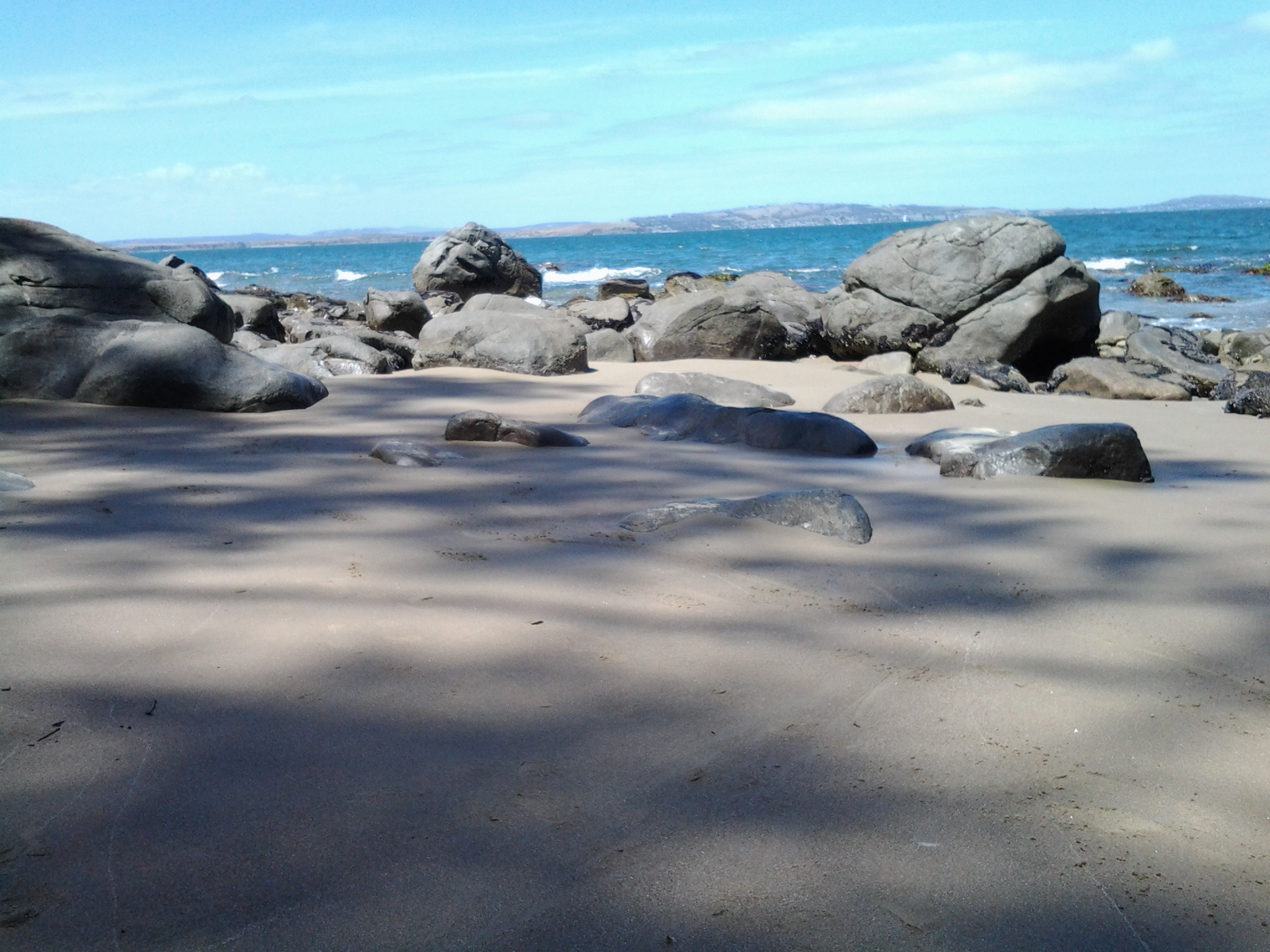
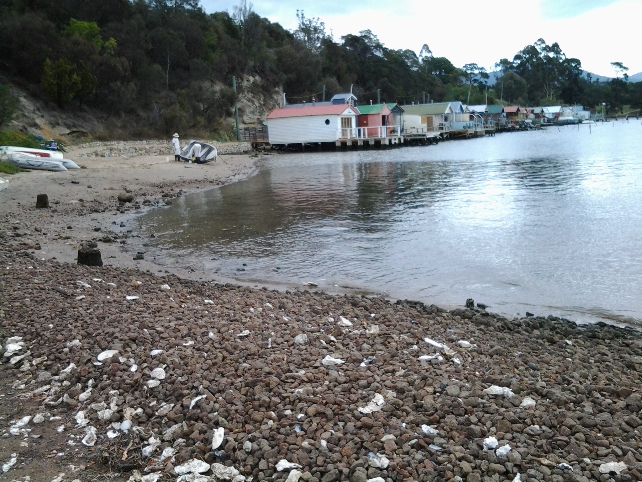
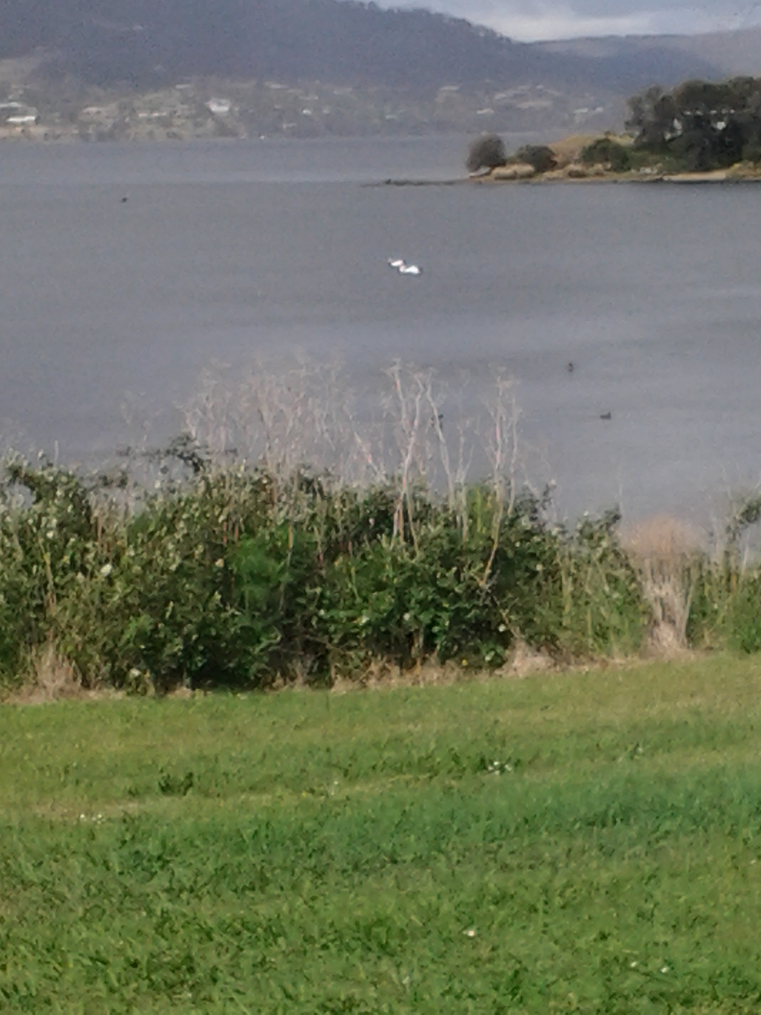
I am in awe of those who set themselves dangerous projects, especially those associated with water.

Today’s local newspaper, The Mercury, reports that a group of mates ‘the injured, ill and wounded former and serving Australian soldiers’ have successfully kayaked across Bass Strait.  This is the wash of wind-blown, wild water which separates the State of Tasmania from mainland Australia.  This is the patch of water which, when the Rolex Sydney to Hobart Yacht Race passes across it each December, masts may be broken, yachts overturned and sailors drowned.

At the narrowest and easiest route, the distance is 330 kilometres. The kayakers left north eastern Tasmania on March 14, were delayed in the Flinders Island area for 11 days with bad weather, and arrived yesterday in Victoria after 24 days. ’The challenges don’t come any tougher, with elite kayakers referring to the Bass Strait route as the “Everest of the sea’.

The story is from: http://www.news.com.au/national/tasmania/military-mates-conquer-everest-by-crossing-bass-strait-by-kayak/story-fnn32rbc-1227294031866

There is no doubt this was an extreme project undertaken by a group of people who might otherwise have believed they had limits on what they could do in their life.

I see it as a strong reminder that our bodies are capable of so much more than we push them through, and that it is our minds which sets most limits. So when I hear people say things like ‘I couldn’t do that or I couldn’t do what you do’, there is nothing wrong with saying that as long as their next sentence is something like, ‘but what I can do is ….xxx….’  The scale of the project doesn’t matter. Whether a ‘Mt Everest’ or a tiny mole hill type goal is set, the important thing is to do something that pushes you even slightly outside your comfort zone.  It is so enriching to do something that, after you have finished, you can look back on and think ‘I did that and no-one can ever take away that achievement from me’.

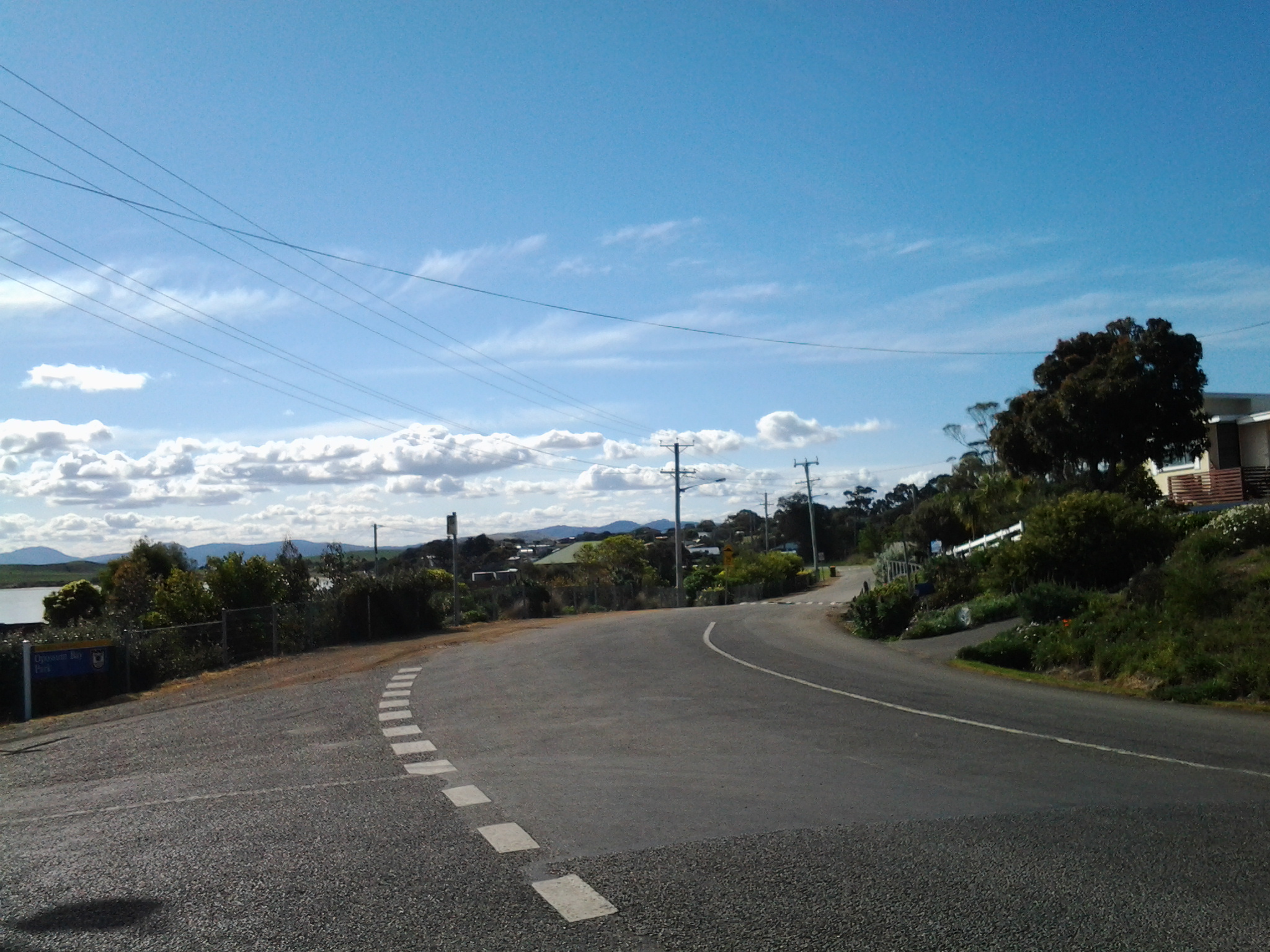
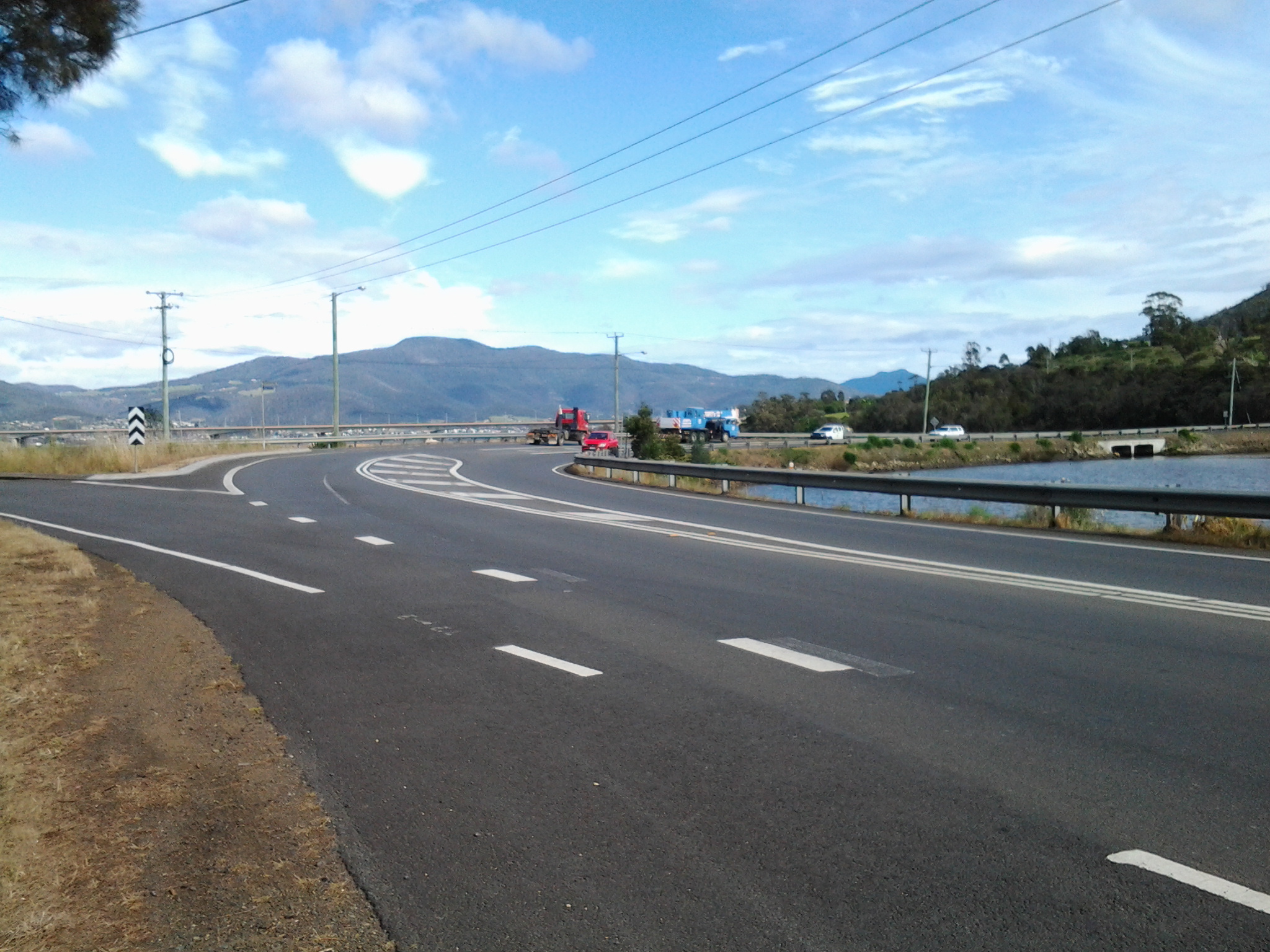
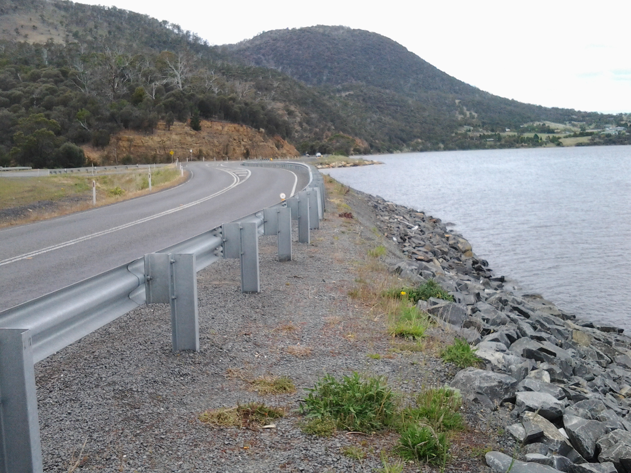
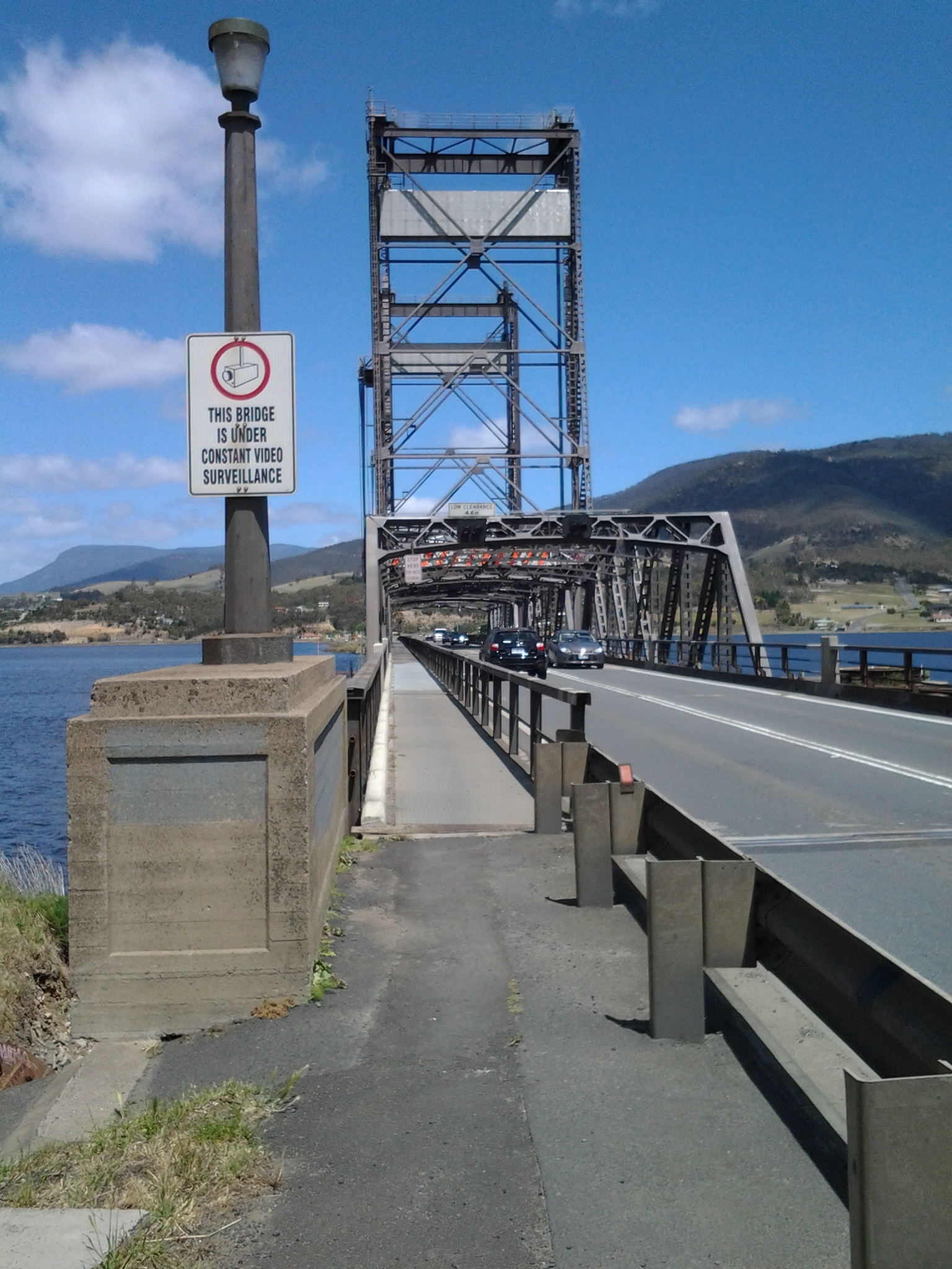
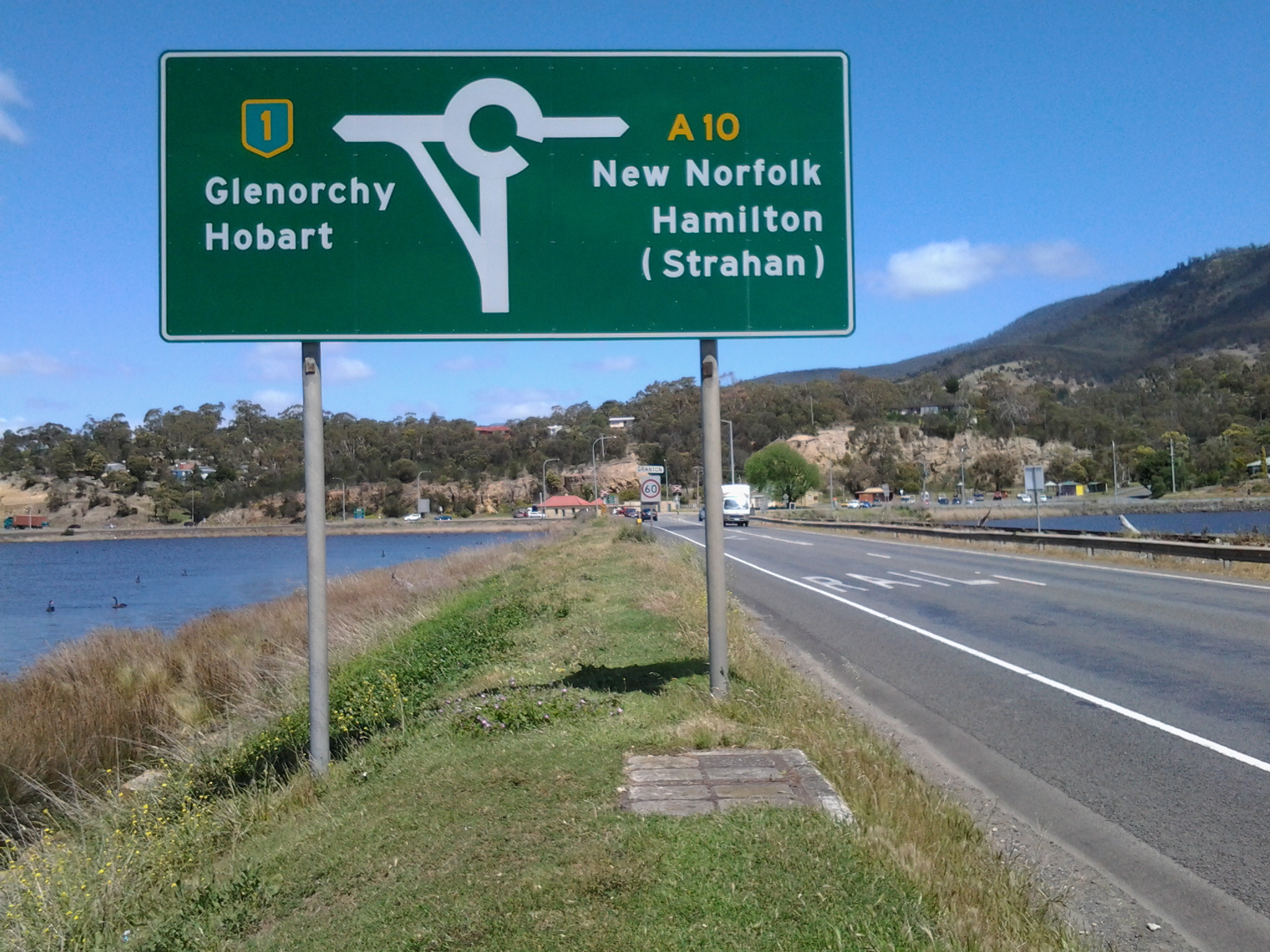
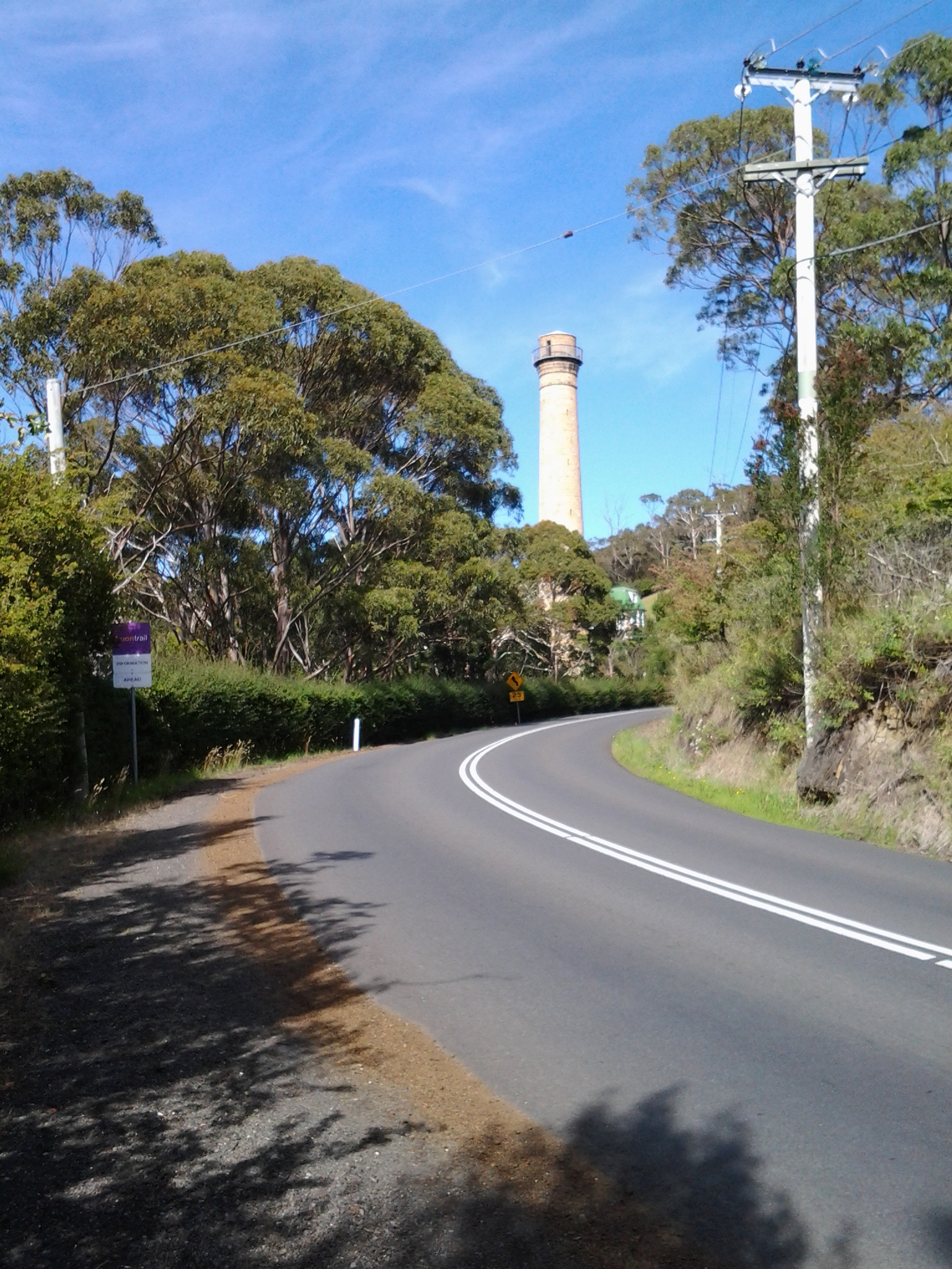
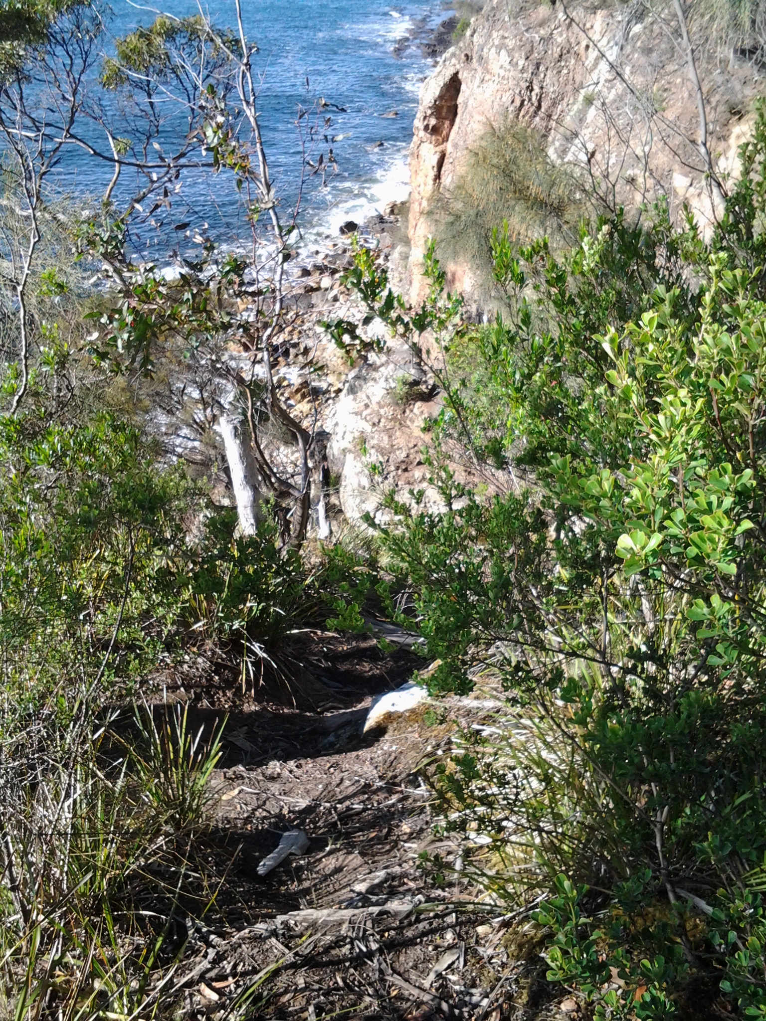
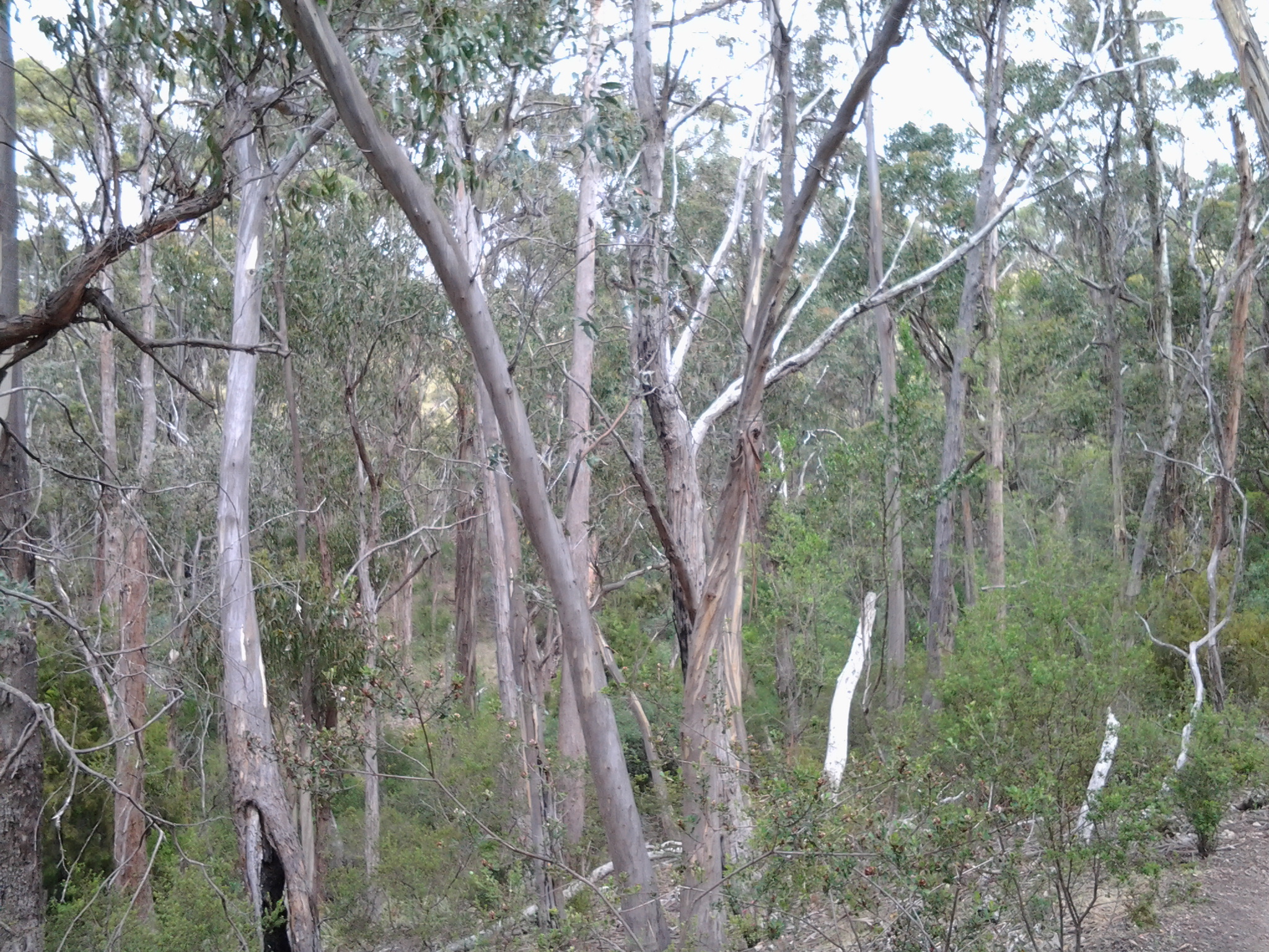
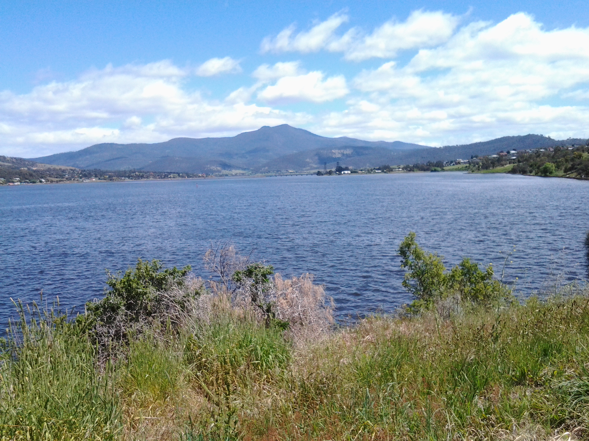
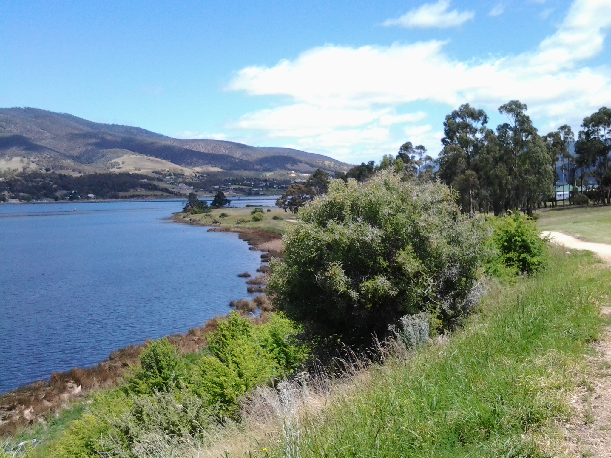
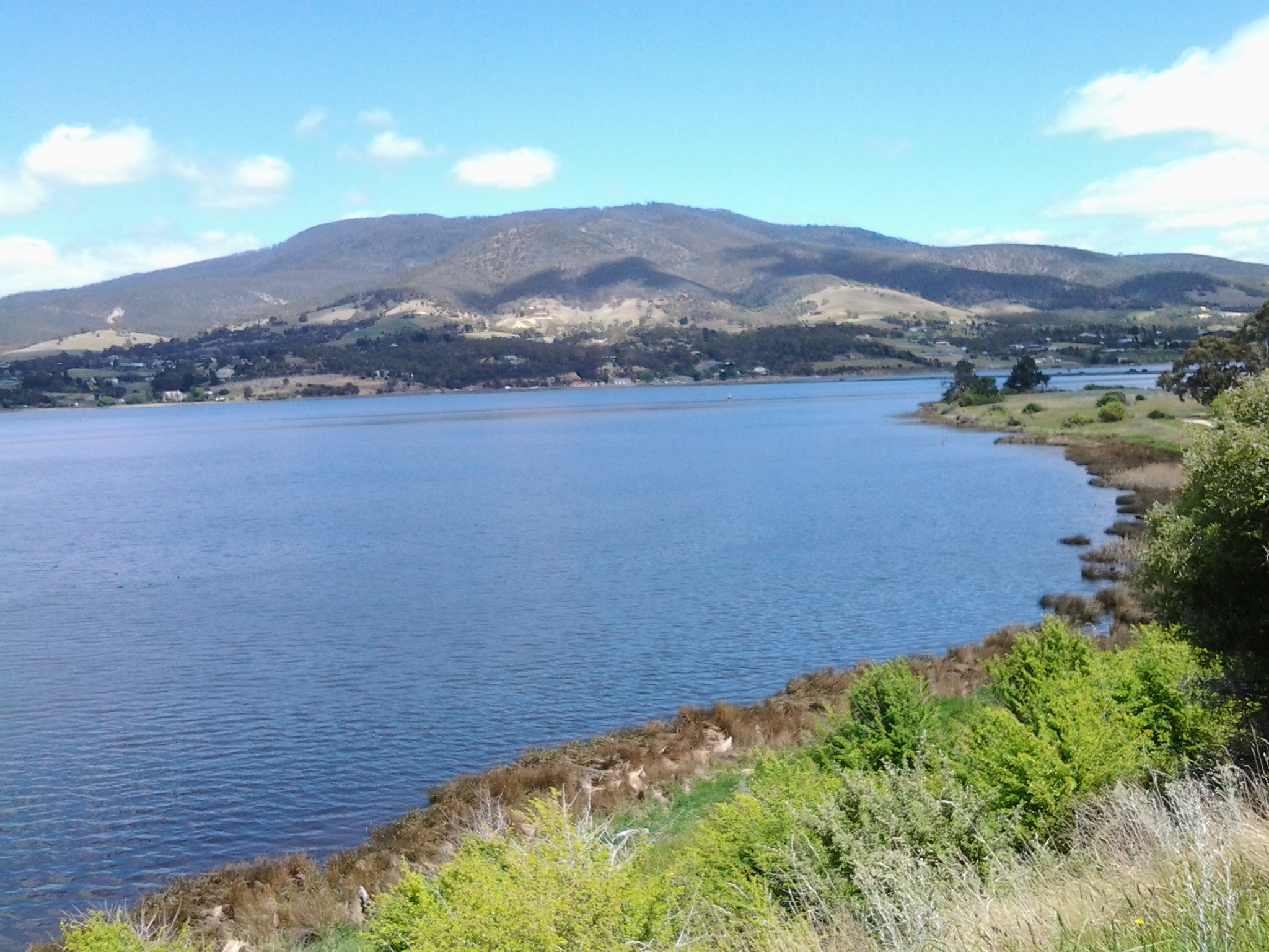
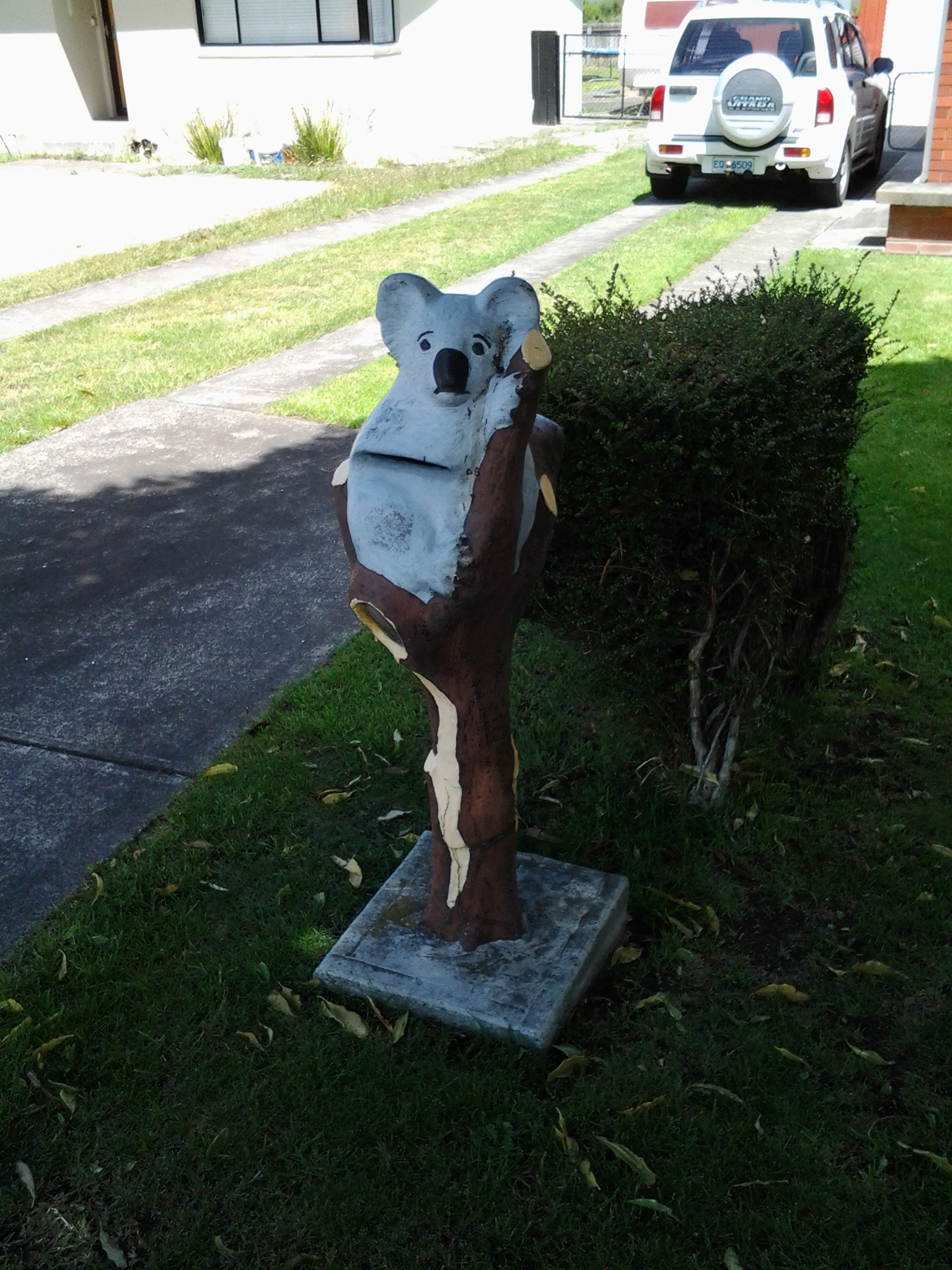
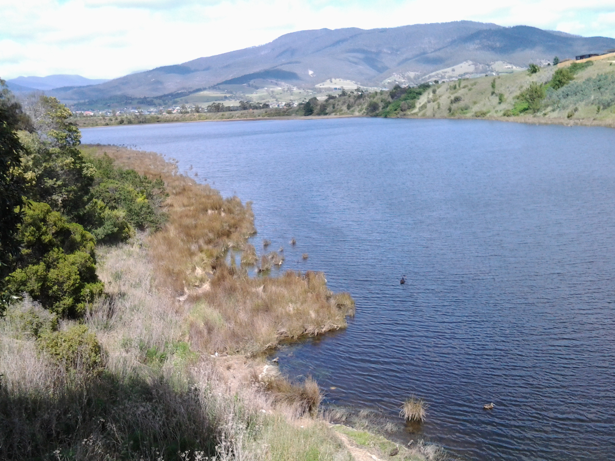
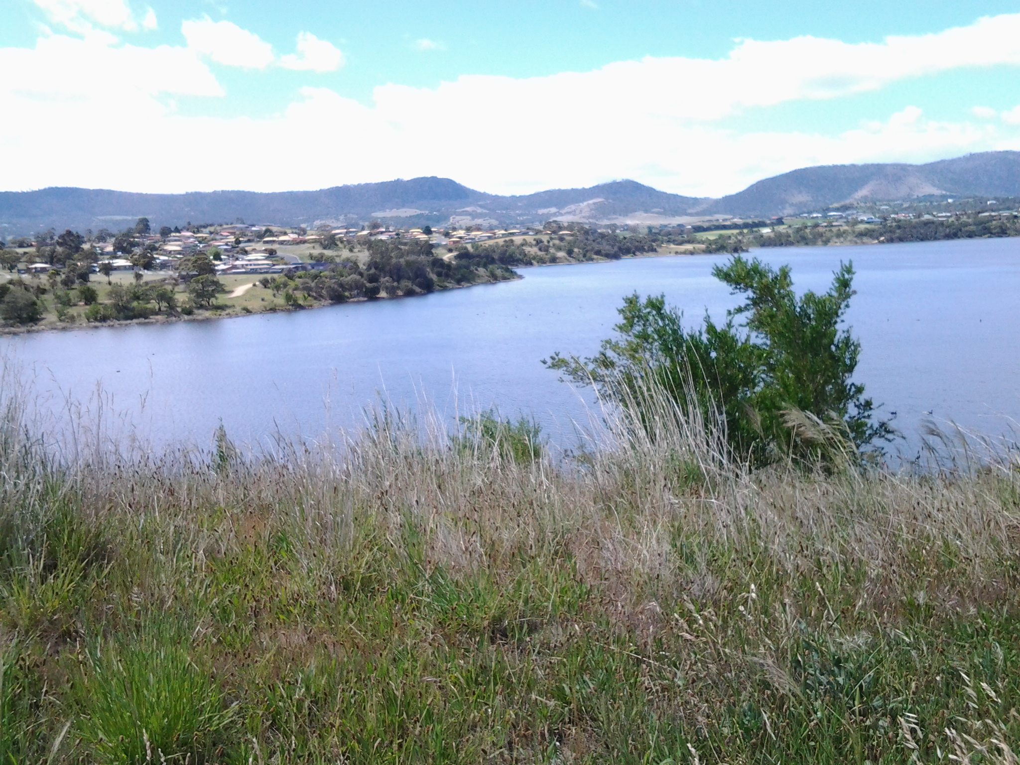
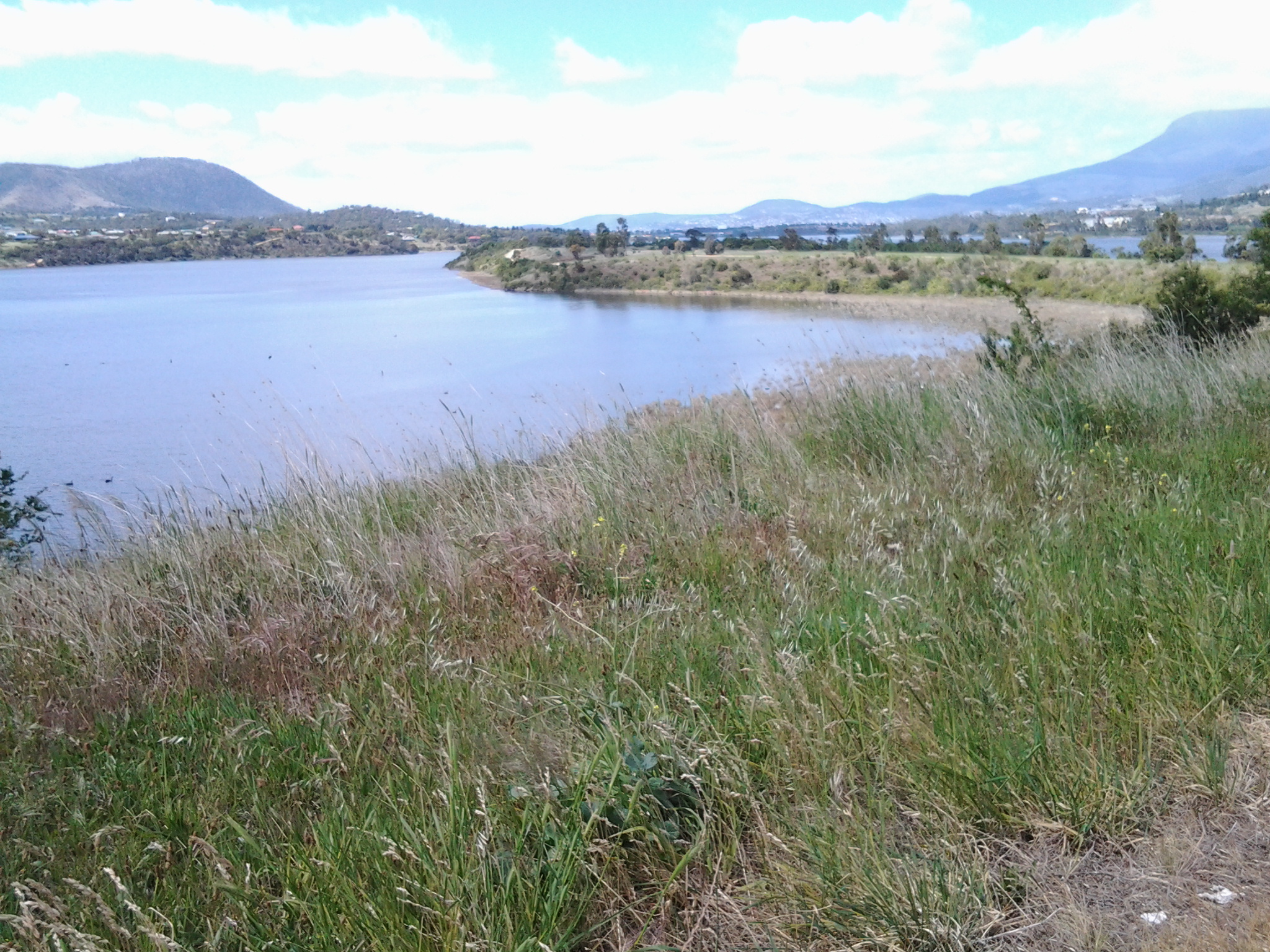
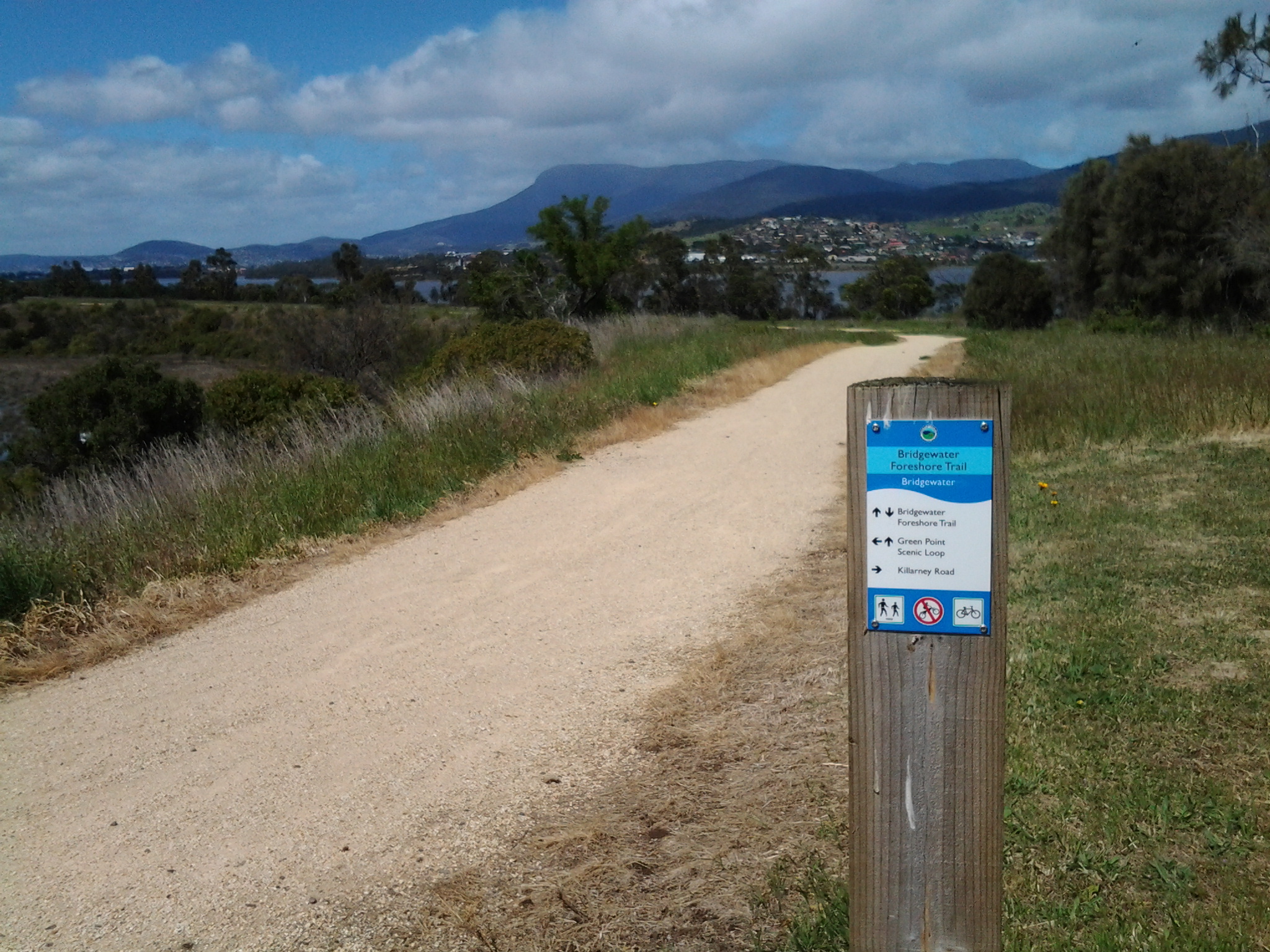
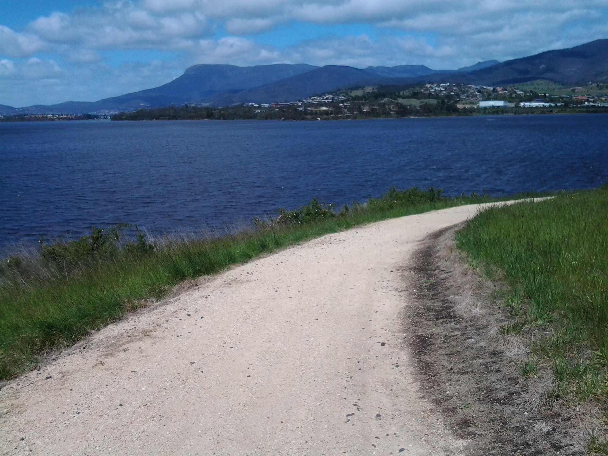
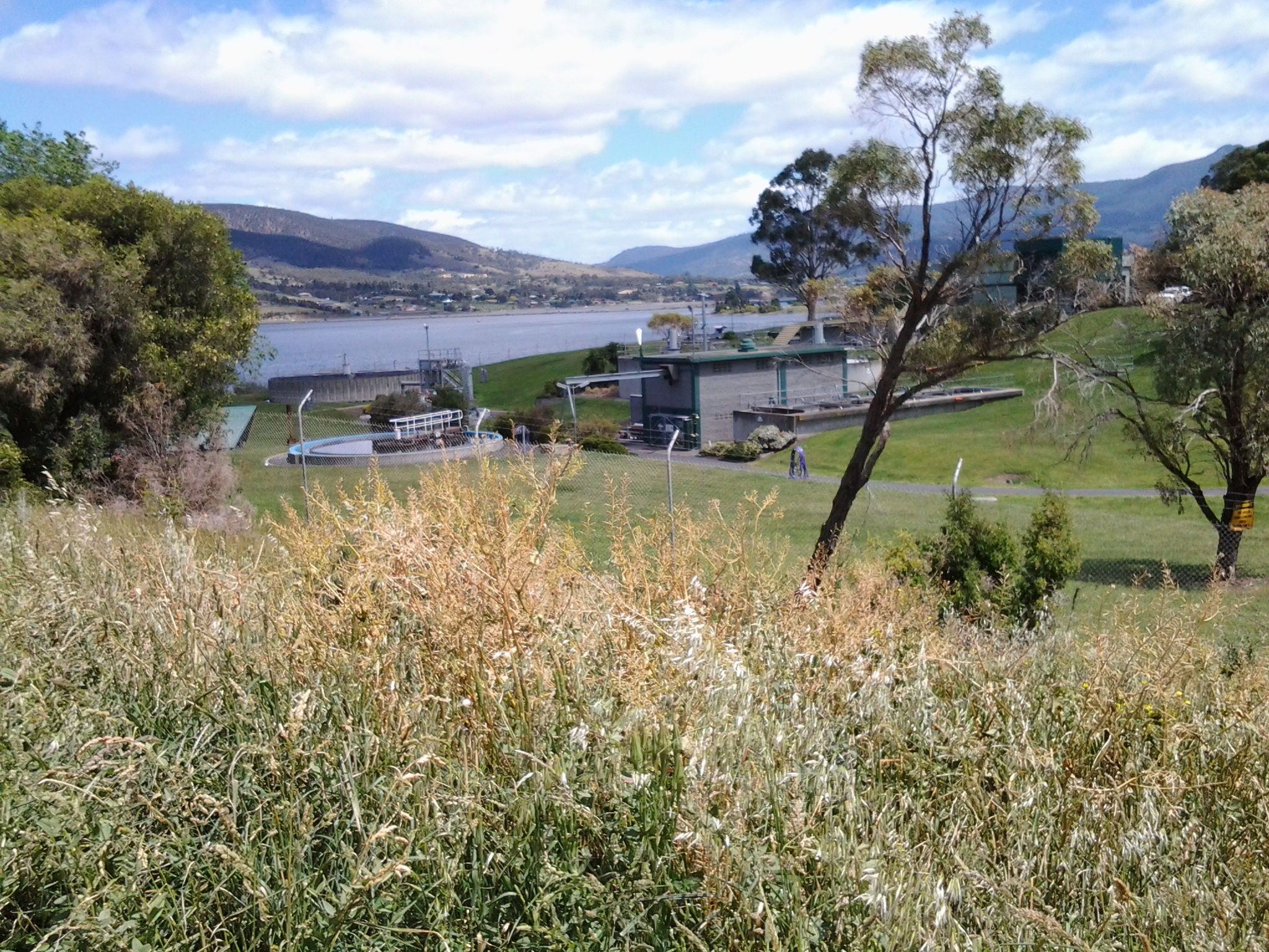
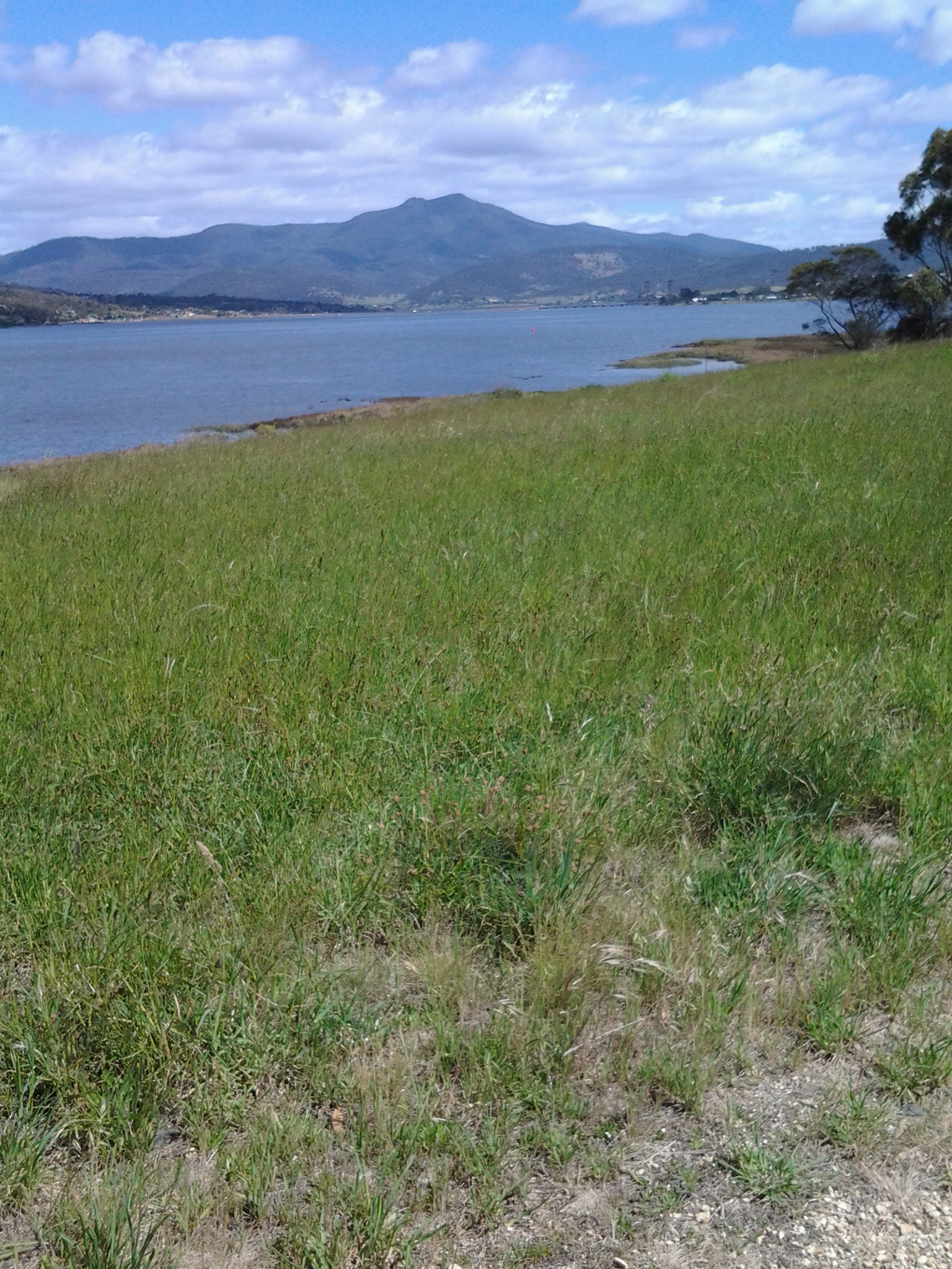
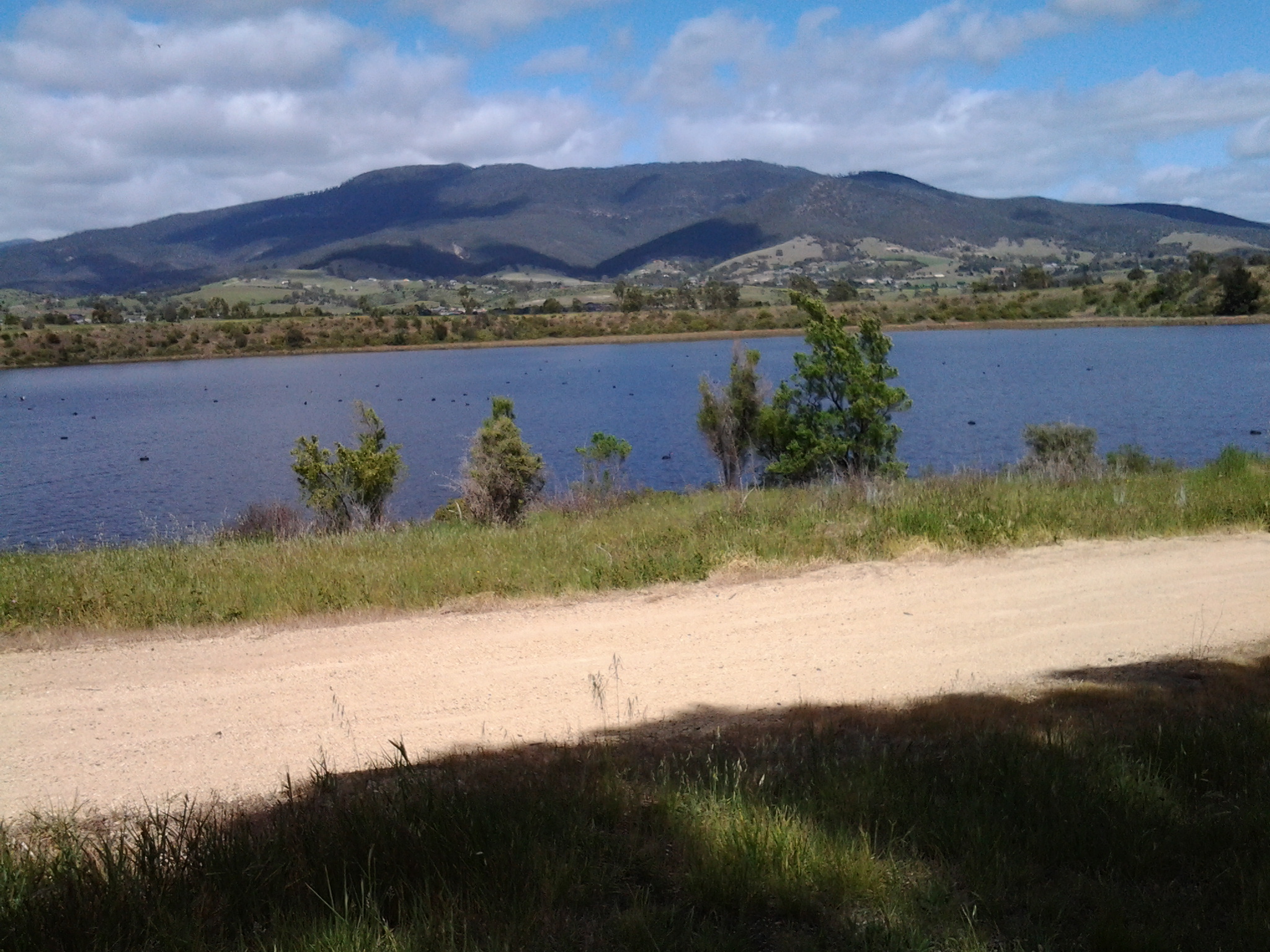
You may be surprised to know that I am terrified of the walk ahead of me to Lake St Clair. I realise this ‘Walking the Derwent’ is a puny project by comparison with the Bass Strait crossing by kayak. However, in my own terms, this is my ‘Mt Everest’ sized project.  I have never talked in this blog about my physical characteristics, but if you had my size, age, gender, health situation and other personal characteristics you might think that attempting this project is crazy.  My antidote to the fear is to remind myself to think of the small steps and not to concern myself with the big distances, the isolation and the impenetrable bush.  I tell myself that I only have to put one foot after the other, and that because each step is always okay, the whole distance can be achieved.

The Derwent River and its Highways

The south of Tasmania is crossed by trunk roads, regional freight roads and regional access roads, including six of the highways for walking on when walking from the mouth of the Derwent River to the source.

  1. The South Arm Highway which extends from Opossum Bay to where the suburb of Mornington reaches the Tasman Highway. I bussed and/or walked on the South Arm highway during Stages 1-3.

20140822_130241 20140904_133309

2.   On the eastern shore of the Derwent from Geilston Bay to Bridgewater Bridge it was the East Derwent Highway which felt the plod of my feet occasionally during stages 5 -8 of my walk.

20141031_093816 20141031_101844 20141031_122945 20141031_111951 20141031_121153 20141111_105455

3.    Once I reached Bridgewater on Stage 9, the highway crossing the Bridge was the Midland or Midlands Highway (sometimes referred to as the Heritage Highway).

20141111_131431 20141111_132913

4.     Some of Stage 12 of my walk on the western shore towards the mouth of the Derwent River, included a couple of kilometres on the Channel Highway.

20150202_095550

5.   At the start of Stage 14 I will walk on the last few metres of the Brooker Highway, the main highway which extends from the centre of Hobart city to the Bridgewater Bridge at Granton. For the first time, at the Bridgewater Bridge, this Highway edges the Derwent River.

6.    Immediately after the highway intersection with the Bridge, the Lyell Highway commences. From Granton until I reach the source, the Derwent River winds closest to the Lyell Highway, the highway which extends west to the town of Queenstown (which is overshadowed by the copper bearing Mount Lyell). This highway will be my life line in terms of accessing public buses.

From Wrest Point to New Norfolk on the Derwent River

‘Have you got a red hat?’ friend An asked me. Recently she became Princess Pollyanna, an esteemed member of Hobart’s Scarlatt O’Hatters (http://www.hobartredhats.com/), and urged me to join particular excursions that have a connection with my walking project.  The delicious carrot being wriggled before my eyes was a ferry trip from Hobart to New Norfolk on the Derwent River.  I paid my membership fee to Queen Poppi and then found a common red beach hat (although others were wearing all manner of superb creations on their heads – are these the modern day ‘mad hatters’, I wondered). I donned a range of purple clothes and, as the newly appointed Lady Walkabout, jumped on the tiny water taxi ferry with 20 colourful new friends to be.

20150304_093216

The wind was strong and some swell across the River kept us bobbing.  However, the ride was comfortable and no one needed to bark at the fish over the side.  Sprays of salt water marked the windows and there were few opportunities to move outside into the clear moist air.  But the day was beautiful, the wind chopped waves dramatic and the panoramic scenery majestic.

What a thrill the journey was. After we left the jetty at Wrest Point Casino in Sandy Bay, a southern suburb of Hobart, we motored with commentary from our driver.  He pointed out environmental and historical features. This was a wonderful reminder of research and findings I made while walking the edges of the Derwent between the mouth of the River and Bridgewater Bridge, and I learned a few new details.

20150304_093514

The surprise sighting of a white sea eagle perched in a high tree against the cliffs in Shag Bay (an inlet between the Bedlam Walls – refer to my Stage 6 report) inspired the driver to stop and allow us outside to get a privileged view of this large bird.

20150304_095143

One of the great treats of the day was motoring underneath the very low Bridgewater Bridge (reminded me of travelling on some flat top boats in Paris where you feel sure the boat will become wedged against the bridge metal) and passing through without a bump or grind.

During our trip, at one stage hundreds of coots flew up from the water, we were accompanied for part of the journey by a small flock of sleek long necked swans, and in a small inlet a large family of pelicans were flying around.  Our eyes focused on all these birds.

As we continued on the Derwent River against landscape which I am yet to see on foot, it was clear my earlier belief that marshlands will prevent me from walking directly next to the River for most of the way from the Bridgewater Bridge to New Norfolk, is correct.  Occasionally it will be possible to walk on paths and grass, but mostly I will be tramping the hard road verges.  I was not aware the remains of a historic Lime Kiln sits beside the water, and it was good to see that I should be able to walk pass this on my way northwards.

As a result of this one-day excursion and from many car trips up and back to New Norfolk, I have a good understanding of the route. However, I realise that at foot level the world looks completely different and I look forward to finding out more in the near future.

understanding of the route. However, I realise that at foot level the world looks completely different and I look forward to finding out more in the near future.

From Hinsby Beach to Blackmans Bay accomplished on Stage 12 yesterday

The goal of my walk along the Derwent River for Stage 12 was to start at my last stopping point, Bus Stop 30 on the Channel Highway at Taroona on the western shore of the Derwent River, and continue to Blackmans Bay in the local government area of Kingborough.  I did not get as far as expected, but I was satisfied when I finished 2/3 of the way along the Blackman’s Bay Beach.

Over future posts, I will write up the stories of the walk, what I saw and what I experienced, but for now it’s enough to say that I am continuing with this massive project to walk both sides of the Derwent between the mouth and Bridgewater, and then onwards to Lake St Clair.

Yesterday I covered 5 ¾ kilometres of the length of the Derwent River on the western shore (making 35 3/4 kms in total on the western shore), and walked approximately 11 kilometres (making a total of 154 kms to date) to achieve that distance; there were a lot of steep ascents and descents.

20150202_085332

This distance also takes in the streets and paths on which I walked that led to dead ends so that I needed to retrace my footsteps.

The highlights of the walk include finding a way through some of the early part of the almost untracked Alum Cliffs, the delightful walk along the tracked part of the Alum Cliffs, meeting some friendly people along the way, the unusual snake sign at Tyndall Beach, stopping for a long cup of tea in Kingston with a friend, my discovery of another tucked away beach – Boronia Beach, and the Blackmans Bay Blowhole.

There are many memorable images but my favourite for today is one of my photos of mussels growing on the rocks at Boronia Beach.  I have already made it my desktop background image. When enlarged, the blues glow.

20150202_142540

Fundamentally the Stage 12 walk was about forest and water.

20150202_113014 20150202_104740  20150202_115156 20150202_152557

The day started with my being roughly opposite Gellibrand Point at the northern tip of South Arm and finishing opposite the long South Arm Beach.

I intend my next walk will start from where I left off at Blackmans Bay and then continue into the Tinderbox area to Fossil Cove.  But before then I need to record the details of yesterday’s walk.  So Stage 13 will be a while away.

Impressive swim down the Derwent River on Saturday

The air temperature didn’t rise above 20 degrees C and while I do not know the Derwent River’s water temperature, I imagine the swim was invigorating to say the least.

On Saturday, a Massachusetts (USA) marathon swimmer survived an overarm feat that nobody apparently has completed for 40 years. He swam from New Norfolk, 19kms by road west of Bridgewater Bridge (the Bridge I reached when walking a few Stages ago), southwards until he reached the Tasman Bridge which is the last bridge across the Derwent River before the mouth of the River. Dan Curtis began ‘The Big Swim’ at 6am and just on 10pm he reached his destination.  Photos of the man (http://dailynews.openwaterswimming.com/2015/01/dan-curtis-to-take-on-big-swim-after-39.html) indicate he is no spring chicken so I am very impressed.  This is another wonderful example of having a goal, giving it a go, then finding out whether success is possible.

Yesterday I walked Stage 11 from Hunter St in Hobart city to Hinsby Beach south of Taroona

The goal of my walk along the Derwent River for Stage 11 was to start at my last stopping point, Hunter St at the wharf in Hobart on the western shore of the Derwent River, and continue to Kingston in the local government area of Kingborough.  But I did not get that far.  My feet said enough was enough once I found the delightful and almost hidden Hinsby Beach.

20150119_131327

Over future posts, I will write up the stories of the walk, what I saw and what I experienced, but for now it’s enough to say that I am continuing with this massive project to walk both sides of the Derwent between the mouth and Bridgewater, and then onwards to Lake St Clair.

The day was sunny with a bright blue sky, Mount Wellington was clear, and a cool breeze featured through much of the day – making it perfect walking weather.

Yesterday I covered 8 kilometres of the length of the Derwent River on the western shore (making 30 kms in total on the western shore), and walked approximately 13kilometres (making a total of 143 kms to date) to achieve that distance. This distance also takes in the streets and paths on which I walked that led to dead ends so that I needed to retrace my footsteps.

The highlights of the walk include discovering the road next to Taroona High School is a public access route which took me down to the Derwent River to a row of colourful boathouses, getting off the main road at places like Cartwright Park Reserve, and seeing the Alum Cliffs in all their majesty.  My next walk will start along the top of these.

20150119_125317

It was a revelation to watch the eastern shore and to see the suburbs and beaches on which I walked in the early stages of my walk. The day started with my being roughly opposite Bellerive and finished with my being opposite Gellibrand Point at the northern tip of South Arm.  The photo below, taken from Hinsby Beach, looks across the Derwent River to Opossum Bay Beach.

20150119_131757

I intend my next walk will start from Hinsby Beach and continue to Blackmans Bay.  But before then I need to record the details of yesterday’s walk.  So my walk for Stage 12 could be a week or more away.

Getting started on Stage 10 along the Derwent River.

From the eastern shore I caught a bus to Hobart City and then transferred to a 7am bus destined for Bridgewater. At the Glenorchy Bus Mall we waited until it was time to continue … and until more passengers arrived.

20150109_072558

This bus travels along the main road via Berriedale, Claremont and Granton suburbs. At 7.32am I was off the bus outside the Grenada Tavern at Berriedale.

20150109_073246

Opposite the bus stop I glanced at the vineyards of Moorilla and thought of the Museum of New and Old Art (MONA) nearby.

20150109_073235

The view, down the road in the southerly direction I needed to follow, is blandly suburban.  At that hour, the road was very quiet.  I guess with school holidays and many adults taking a holiday away from work, there were lots of sleeping bodies in the vicinity.

20150109_073239

I crossed the road and headed south on the footpath looking to see how I could get past the houses edging Berriedale Bay and walk closer to the water.  Firstly I reached a parking area with a tall mesh fence partly blocking an area of profusely flowering weeds and Berriedale Bay water from me.

20150109_073650

I continued on the main road and turned left away from the highway overpass.

20150109_073954

When I reached a service station I spotted a gap to the water and deviated to see whether further access was possible. Looking north over a bramble of free sown blackberry bushes, I could see the vineyards of Moorilla, and the concrete and rusting building of MONA.

20150109_074116  20150109_074126

Looking south, Frying Pan Island could be seen joined to the land by a tiny isthmus.

20150109_074105

It was clear there would be no continual walking access directly along the River’s edge.  I returned to the main road and continued along until I reached the Strathaven Home for senior citizens and Riverfront Motel villas, arriving there about 20 minutes after I had stepped off the bus. I walked through these properties and continued along the foreshore until stalled by a high fence topped with barbed wire – this continued out into the water as a definite deterrent for further progress. Fat rabbits, and gangs of wild hens scattered across the mown grasses. Frying Plan Island can be accessed via the Strathaven Home  and Motel site. In the photo below, the tiny islet in the foreground and southern side of the Bay, almost blocks the rusting verticals which form part of MONA in the distance at the northern side of Berriedale Bay. It is rather difficult to separate these visually.

20150109_075100

So I retraced my steps back to the main road and joined the ‘bike path’ established for both cyclists and pedestrians by the joint efforts of the Cities of Hobart and Glenorchy. It was 8am.

Yesterday I completed Stage 10 of my sequential walk along the Derwent River

The goal for Stage 10 was to start at my last stopping point, MONA in the middle of Berriedale on the western shore of the Derwent River, and continue to Lutana the last suburb of the City of Glenorchy before the City of Hobart starts. But I went further.  Much further.  Almost much further than my feet could take me.  I walked to Hobart.

Over future posts I will write up the stories of the walk, what I saw and what I experienced, but for now it’s enough to say that I am continuing with this massive project to walk both sides of the Derwent between the mouth and Bridgewater, and then onwards to Lake St Clair. Once I get walking it is always so addictive.  Even when my feet feel crippled, I say to myself … ‘go just a little bit further. What else will I be able to see with fresh eyes?’

The day was gloomy with a cloudy sky, and Mount Wellington had veils of clouds covering at least part of its prominence most of the day. But it didn’t rain and so was perfect for walking.  However, the weather ensured the photographs were without sunshine.

Yesterday I covered 12 kilometres of the length of the Derwent River on the western shore (making 22 kms in total on the western shore), and walked approximately 19 kilometres (making a total of 130 kms to date) to achieve that distance. This distance also takes in the streets and paths on which I walked that led to dead ends so that I needed to retrace my footsteps.

Of the many highlights of the walk, I saw the building that once started life as Rosetta Cottage, and powerful Clydesdale horses with their large hairy feet.

20150109_162649

I surprised a friend still in pyjamas when I went visiting for the first time in my walks. The hot cups of tea were most welcome.

I am always excited when I walk the striped edged boardwalks of GASP (Glenorchy Arts and Sculpture Park) or pass the boatsheds of Cornelian Bay and it was no different yesterday.  See the photos below for a taste of the colour.

20150109_084404  20150109_145335

I very much enjoyed looking at the eastern shore where I had walked during past stages and seeing the landscape from a different perspective.  I felt it made the Greater Hobart Area seem undeveloped in a way which is quite amazing for a capital city. For example, Bedlam Walls on the eastern shore from the western shore of the Derwent River, in the photo below.

20150109_123940

From comments I have received, I know my walks are inspiring others to think about what they might do. Even if you choose not to walk, perhaps you can set yourself other challenges.

My next walk will start at Hunter St at Sullivans Cove on the wharf in Hobart and probably extend to Kingston.  But before then I need to record the details of yesterday’s walk.

Starting last Tuesday’s 9th walk along the Derwent River

On the first leg of this stage at 8.26am, I started by walking south on the Main Road from the York Hotel in Granton South with a view of white capped wind-blown waves on the Derwent River next to me, and the suburb of Bridgewater across on the other side.

20141125_082909

At 8.42am I passed the Lagoon General Store and Servo and by 8.49am I had reached the start of a pathway leaving from the Main Road and leading around the Goulds Lagoon Bird Sanctuary. This was a peaceful alternative to the noisy main road. All manner of wild fowl, other birds, animals and plants could be seen including ducks, rosella parrots, rabbits, wild mushrooms, seagulls, handsome gum trees with their fresh smell of eucalyptus, and a cluster of spectacular Eastern Great Egrets. Spotted across the Lagoon were bird-breeding boxes.  The air was deliciously moist and the grass was high. This was not a track for those in wheelchairs, pushing prams or walking with crutches.

20141125_085659  20141125_085652

By 9.07am I had circled Goulds Lagoon and was back on the main road at the edge of the Hestercombe Reserve.

20141125_090822

Continuing southwards, I passed by the area known as Ten Mile Hill without trying to squeeze through barbed-wire topped gates blocking roads to timber mills and other ‘private property’. By 9.24am I had reached the northern end of St Virgil’s College with its signage indicating ‘private property’.  Effectively these businesses and educational institutions prevented me having direct access to walk along the Derwent River.  I thought I might walk along the railway line corridor closer to the River, but since it passed through some of the private property I chose not to do so.

9th Stage of walk along Derwent River completed yesterday, Tuesday 25 November

I caught two buses from my home in Bellerive on the eastern shore, via the Elizabeth St CBD Hobart and the Glenorchy City bus malls, to reach Granton on the western shore of the Derwent River in the northern suburbs of the City of Glenorchy in the Greater Hobart Area.

At 8.26am I stepped off the Metro number X1 bus at stop 47 outside the York Hotel in Granton South and, with excitement about what the day might bring, I looked around and admired the view across the River to the suburb of Bridgewater before starting the tramp south.

20141125_082854

No footpaths or walk ways had been laid for pedestrians and so vigilance was required against the traffic on the Main Road. Occasionally a few metres of concrete or bitumen were laid for a new subdivision but generally a track for smooth safe walking was not on offer.

The weather started sunny but during the afternoon rain passed intermittently. In the photo below you can see the grey background blurred by rain, but meanwhile three pelicans were enjoying themselves on Lowestoft Bay.

20141125_150144

Relentless buffeting wind was the main feature all day. As a result, I couldn’t keep my sun hat attached to my head. Needless to say, I returned home with a blasted red face.  But happy from the pleasure of walking, discovery and the fresh air. Being a tourist in my home town is a revelation and a joy.

I walked southwards from Granton South to MONA (the world famous Museum of New and Old Art) at Berriedale and passed through the suburbs of Granton South, Austins Ferry, Claremont and half of Berriedale.

I experienced Goulds Lagoon, Austins Ferry Bay, Rusts Bay, Beedhams Bay, Bilton Bay, Dogshear Point, Windermere Bay, Knights Point, Windermere Beach, Connewarre Bay, McCarthy’s Point, Lowestoft Bay, and Cameron Bay. I plodded around bays and a golf course (I gained special permission to walk this private property but I would NOT recommend anyone else try it – see later postings), had a stopover at Cadbury’s, and hid from the rain in gazebos and art works. All up, I probably walked 18 kms.

Yesterday I covered 9 ¼ km of the River’s length on the western shore. This adds to my previous tally of 3/4km on the western shore making a total of 10kms covered as I trek southwards from the Bridgewater Bridge to the mouth of the Derwent on the western shore.

Specific details of the different legs of this 9th stage walk will be written up and posted in the coming days.

My favourite photo of the day was taken near the end of my walk, when I sat at the point where the southern end of Cameron Bay met the Derwent River (with MONA just over the hill). The water had been frothed by wind and I liked the lacy remnants floating by.  The intense colours are the result of the rich light quality caused by the heavy clouds overhead.

20141125_153054

Around Bridgewater on the 8th stage of my walk along the Derwent River

After Green Point and looking southwards, I could see Mount Direction in the distance (overlooking the Bowen Bridge – which I could not see). In the photo below, the swell of land on the right of the Derwent River is the foothills of Mount Wellington.

20141111_122916

Early, on this leg of the walk, I stopped and looked northwards along the Derwent River. In the distance Mount Dromedary peered over the landscape.

20141111_120951   20141111_124958

The early highlight of this part of the walk was seeing a collective of about 3 dozen plovers together. I don’t think I have ever seen such a group. The plovers were mostly standing around although some were walking around on an open mowed park area near a cluster of gum trees.  Perhaps some were older ‘young’ plovers because from a distance they all looked the same size, give or take a bit.  This seemed so unusual because I am only familiar with the two parents hanging about and guarding their one or two baby birds.  In some paddocks, in the past, I have seen a number of pairs of parents but the pairs don’t hang out together and keep their own territory quite some distance from each other.

How pleasant this walk was.  Consider the sublime calmness represented in the photo below.

20141111_125006

Around 12.45pm I stopped and sat on a bench seat with a view and watched what amounted to a natural cygnet farm. Dozens of cygnets about the size of a small duck were on the water close to shore.  Only one adult black swan seemed to be on supervision duty. I wondered if the swan bureaucracy had been suffering major cutbacks of ‘staff’ like our Australian and State public agencies where services are meant to continue with less staff.

Opposite where I sat the Mount Faulkner Conservation Area was the main feature on the western shore of the Derwent River.

20141111_125008

At 12.56pm I reached Woods Point, sat under a shelter structure and consulted my maps. Five minutes later I left this Point and began walking north along Gunn St all the while having a good look at Mount Dromedary rising on the eastern shore but away in the distance north of Bridgewater.

I was walking through suburban streets when a letterbox, under the shade of a tree, captured my attention.

20141111_130517 20141111_130527

A poor sad concrete koala (maybe commiserating with the live koalas in Brisbane given to G20 leaders for a cuddle)!  The postman would push his letters into a slit in the koala’s stomach.

I also had a larger view of part of two uprights of the Bridgewater Bridge.

20141111_130214

I seemed so close.  My day’s goal to nearly reach the Bridge had to be superseded. I was compelled to reach the Bridge and kept on walking, even passing bus stops.  When I could see the golden arches of McDonalds at the end of the right hand road I veered left and headed for the Bridge nearby.

20141111_131010

I stopped to photograph the semi-ornate gates of Memorial Reserve commemorating locals who died in various overseas wars (after all, this walk was occurring on the 11th November, Australia’s official Remembrance Day).

20141111_131258

Then I was at the Bridgewater Bridge. Now it wasn’t enough for me to reach the Bridge: I felt compelled to walk across it rather than waiting to do so in the next stage of the walk.

20141111_131431

Across the Jordon and into Greens Point as I walked northwards along the Derwent River

In leaving Herdsmans Cove, I was back on the East Derwent Highway and immediately crossing the bridge northwards across the Jordan River.

20141111_105455

Looking towards the Green Point peninsula at the far end (Derwent River is on the other side of the peninsula) from the Jordan River Bridge: suburbs of Herdsmans Cove on the left and Green Point on the right.

20141111_105605

I was off the bridge by 11am and walking up the bitumen path beside the Highway until I reached a yellow gravel path to the left, where I turned and continued on with wild fennel flourishing on the sides of the path along with brightly flowering gazanias growing wild, walked around another gate and by 11.11am I reached the sign for the Bridgewater Foreshore Trail.

20141111_110243   20141111_111122

In the distance I could see rain showers softening over Mount Wellington but I was dry and walking in the sunshine. After rounding another gate, a sign pointed out the Green Point Scenic Loop off to the left. I headed along this in a southward direction enjoying the fresh smell of the gum trees and the perfume of the wattle flowers.

20141111_111239  20141111_111236  20141111_111233  20141111_111231  20141111_111500  20141111_112105

At 11.35am I reached the point of Green Point at the junction of the Jordan River with the Derwent River and sat on the grass beside the path for a brunch break.  My breakfast was eaten at 6am so I was a smidgin hungry by this time. A strong south westerly wind blew across the Derwent River and buffeted me. The freshness was invigorating.

20141111_113217 20141111_114835

Ten minutes later I was up and walking on.

A few minutes after midday I had passed some more gates and signs and had chosen the trail closest to the shore leading north. On my right were the fences of some houses, and either someone had dumped their rubbish over the fence or the wind had blown it there. I was amused to see a blue hard plastic chair hanging on a washing line.

Just after 12.30pm I walked around the Green Point Waste Water Treatment Centre, or as some maps have it, the Sewage Works.  The fresh smells of wattle or gum trees couldn’t reach my nose here. For some reason?

20141111_123316

Near the Treatment Works I walked back on a street for some metres before coming around a corner where I was able to return to the yellow gravel road (am I Tasmania’s version of Dorothy from the Wizard of Oz?).

Now I was about to walk around the suburb of Bridgewater.

Onwards into and around Herdsmans Cove on the 8th stage of my walk along the Derwent Rive

At 9.48 am I was leaving Old Beach and continuing my walk northwards along the East Derwent Highway with its noise of heavy trucks and speeding cars passing me by. To my left were masses of overgrowing blackberry brambles reminding me of the thicket scrambled through on my last walk.  Not long after, the hint of a track on the left took me away from the edge and above the Highway and a little closer to the River.  I continued for a while when it seemed like the track would descend into Gage Cove, but it petered out – I recommend anyone following in my tracks stays on the Highway. Overhead soared a large hawk or kite drifting on the breeze while looking down for a feed.   Below I could see black swans feeling safe on the waters of the reedy Cove. Back towards the road I walked, clambered over a collapsing barbed wire fence, and eventually down onto the unprotected road verge and again sometimes into the ditch (with the thrown cigarette butts and the jetsam of McHappy Meals). At 9.58am I reached the sign for Gage Brook and soon after observed some water ran below towards Gage Cove, amidst a conglomeration of marshy and spiky vegetation.

I continued past a second sign directing traffic to the Baskerville Raceway, and at 10.10am I turned left at a major roundabout (suburb of Gagebrook to the right, Bridgewater straight ahead and Herdsmans Cove to the left). A minute later I turned left at a T-junction then left again at Calvert Court at 10.19am.

I loved hearing the wind in the massive gum trees.  Majestic to look at. Thrilling to listen to. The photo bellows shows a stand of gums in a mowed parkland beside the Bellerive walk. The trees I saw at Herdsmans Cove were much larger.

20141111_121906

At 10.23am I turned left at a short unnamed cul de sac with an empty block leading to a foreshore trail. Two locals, who were mowing lawns, confirmed this was the way to go. On the track, a sign gave directions along this ‘Swan Park Trail’.

20141111_102504  20141111_104216

I never discovered if there was an actual Herdsmans Cove as in a bay or body of water, but I suspect it may be the small inlet adjacent and north of the Lamprill Circuit. If I had turned left I could have walked the Lamprill Circuit. However, because I could look down and could see a small shelter structure had been built at a vantage point where the River and mountain views could be appreciated and I realised going down meant coming back up a hill, I did not pursue this direction.

20141111_102911

Instead I turned right and headed northwards. This was the first of the Brighton local government signs and it made me more confident of where I was walking as I came across more.

At 10.30am I was rounding another gate and soon, away in the distance, I could see the tops of the Bridgewater Bridge.

20141111_111825

The walk around the suburb of Herdsmans Cove was uneventful. Lots of bird song beside the path and scattering tiny birds in the long grasses. A brilliant Blue Wren flitting. Mounds of black swans like dark rocks sleeping on the rocky shore. Foreshore Trail signs off and on. Gates to walk around.

20141111_104537

Eventually I was curving back towards the Highway and nearing the bridge over the Jordan River. Initially I was looking across the Jordan River at the suburb of Green Point (part of Bridgewater) –

20141111_104541

Then I was approaching the Bridge.

20141111_105339

A TasWater worker had parked his vehicle and was absorbed in problem solving inside a building alongside the Jordan. Beside him, I took an informal track up and onto the Jordan River Bridge.

20141111_105331

Major milestone achieved on 8th stage of my walk along the Derwent River

Originally, I decided to walk the length of Tasmania’s Derwent River without research, foreknowledge of the challenges, and without determining the possible milestones.

With hindsight, actually starting the walk and reaching the Bridgewater Bridge were my two main milestones held subconsciously and not recognised at the time.

In late August this year I started at the southern tip of the South Arm peninsula (Cape Direction) and today I have not only reached the Bridgewater Bridge but crossed it and started the walk back towards the mouth of the Derwent River on the western shore.

I am rather amazed that such a thing is possible; to walk such a distance in this day and age and to do so for pleasure doesn’t seem quite real. And yet it is truly possible, even when my feet feel permanently crippled and I want to crawl. Just one foot after the other and it doesn’t matter how long it takes me to put one foot in front of the other. It only matters that I keep doing it. And then and only then can such milestones as today’s be achieved.  And celebrated, which I am about to do.

I was also mindful that today Australia marked the ANZAC soldiers killed and injured in the World Wars and others more recently with Remembrance ceremonies and a minute’s silence across the nation at 11am (on the 11th day of the 11th month). I have nothing to complain about and only much for which to be grateful. The photo below was taken close to the Bridgewater Bridge on the eastern shore.

20141111_131254

Over the coming days, I will write detailed postings of today’s walks through the suburbs of Old Beach, Herdsmans Cove, Bridgewater and starting into Granton South; the areas that I have passed and the trails that I have followed. For now it is enough to know that I have walked yet again, and the countryside and cityside has simply rolled along beside me.

Today I was away from home for almost 9 hours partly because the walking area was relatively difficult to access and leave from by public transport. Some waiting and bus changes were required. Of these hours, just under 5 hours were involved with walking from the starting point in Old Beach to the start of the Bridge, and 1/2 hour was involved from the Granton end of the Bridgewater causeway until I jumped on a bus somewhere in Granton South. Including crossing the Bridge, I walked approximately 16 kms.  Approximately 14 and1/4 kms on the eastern shore, and 3/4 km on the western shore by the Derwent River. So far I have walked 93 kilometres.

At the end of the 7th stage of my walk I had covered 34kms of the length of the Derwent River. Add another 4.5kms for today’s 8th stage and the total distance from the mouth of the Derwent River to the Bridge on the eastern shore is 38.5 kms as ‘a crow might fly’ more or less straight down the centre of the River (by my reckoning – perhaps others will argue). The length covered today of the Derwent River from the Bridge southwards on the western shore is about 1/2km.

Before each stage of my walks along the Derwent River, I have been somewhat nervous about how everything will go and how my body will hold up, yet there has never been any event or location that has turned out to be a problem. My walks have been ‘smooth sailing’. This morning I was particularly anxious because of the less savoury activities of some of the people who live in Herdsmans Cove and Bridgewater. I was also thinking about Tasmania’s ‘ice’ epidemic and remembering that some addicts can go for 7 or more days without sleep and therefore can be totally irrational. I was hoping not to encounter any unpleasantness and I didn’t. So I am delighted to report that today’s walk was safe, beautiful and calm. Quite marvellous in its simplicity.

The photo below is a close up of wattle blossom. The seductive heady perfume surrounded me most of the day.

20141111_103716

Acknowledgement of Country – to the Paredarerme people

The first people to live along the Derwent River were the Paredarerme people otherwise known as the Oyster Bay tribe. The Moomairremener people, whose land I have been walking on from South Arm to Old Beach, were one band of the Paredarerme people. I cannot find the specific name of the Paredarerme people along the Herdsmans Cove and Bridgewater area where I will walk tomorrow, although the Moomairremener people did move up and down the Derwent River.

I will be walking on the land of the Paredarerme people as I continue my walk along the eastern side of the Derwent River.  Therefore,

“I acknowledge and pay respect to the Tasmanian Aboriginal community as the traditional and original owners and continuing custodians of this land.”