Tag Archives: Baskerville raceway

Onwards into and around Herdsmans Cove on the 8th stage of my walk along the Derwent Rive

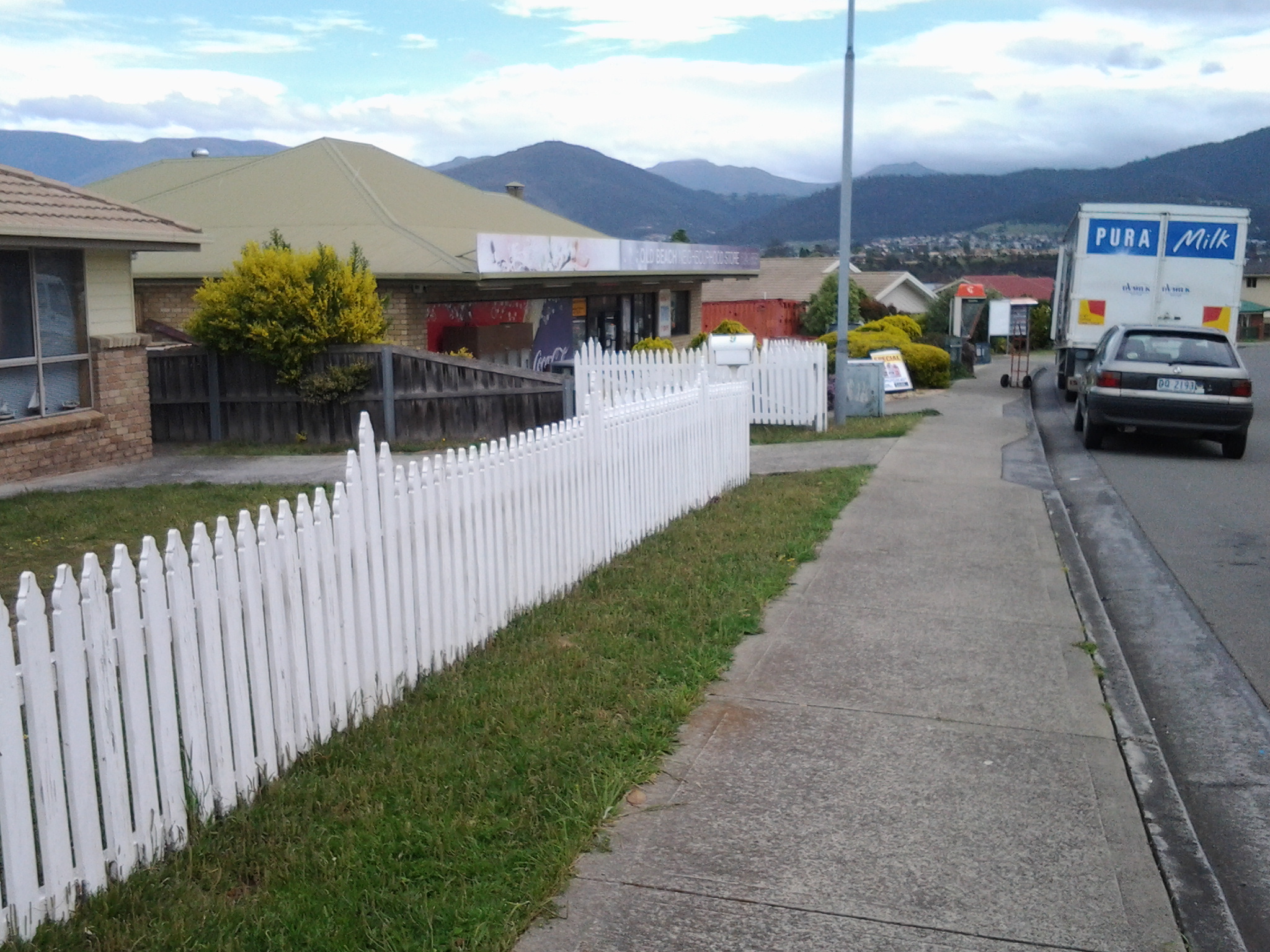
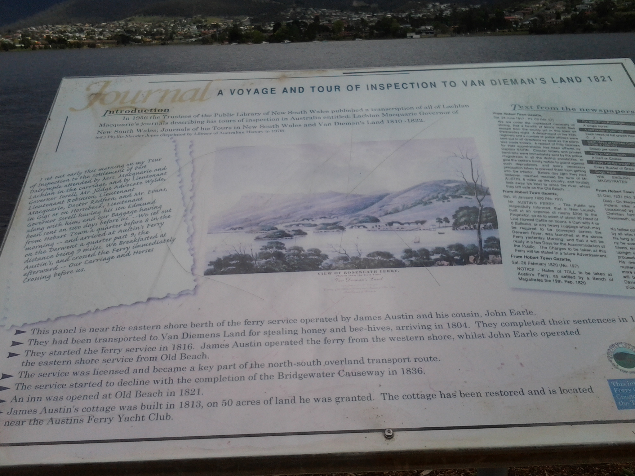
At 9.48 am I was leaving Old Beach and continuing my walk northwards along the East Derwent Highway with its noise of heavy trucks and speeding cars passing me by. To my left were masses of overgrowing blackberry brambles reminding me of the thicket scrambled through on my last walk.  Not long after, the hint of a track on the left took me away from the edge and above the Highway and a little closer to the River.  I continued for a while when it seemed like the track would descend into Gage Cove, but it petered out – I recommend anyone following in my tracks stays on the Highway. Overhead soared a large hawk or kite drifting on the breeze while looking down for a feed.   Below I could see black swans feeling safe on the waters of the reedy Cove. Back towards the road I walked, clambered over a collapsing barbed wire fence, and eventually down onto the unprotected road verge and again sometimes into the ditch (with the thrown cigarette butts and the jetsam of McHappy Meals). At 9.58am I reached the sign for Gage Brook and soon after observed some water ran below towards Gage Cove, amidst a conglomeration of marshy and spiky vegetation.

I continued past a second sign directing traffic to the Baskerville Raceway, and at 10.10am I turned left at a major roundabout (suburb of Gagebrook to the right, Bridgewater straight ahead and Herdsmans Cove to the left). A minute later I turned left at a T-junction then left again at Calvert Court at 10.19am.

I loved hearing the wind in the massive gum trees.  Majestic to look at. Thrilling to listen to. The photo bellows shows a stand of gums in a mowed parkland beside the Bellerive walk. The trees I saw at Herdsmans Cove were much larger.

20141111_121906

At 10.23am I turned left at a short unnamed cul de sac with an empty block leading to a foreshore trail. Two locals, who were mowing lawns, confirmed this was the way to go. On the track, a sign gave directions along this ‘Swan Park Trail’.

20141111_102504  20141111_104216

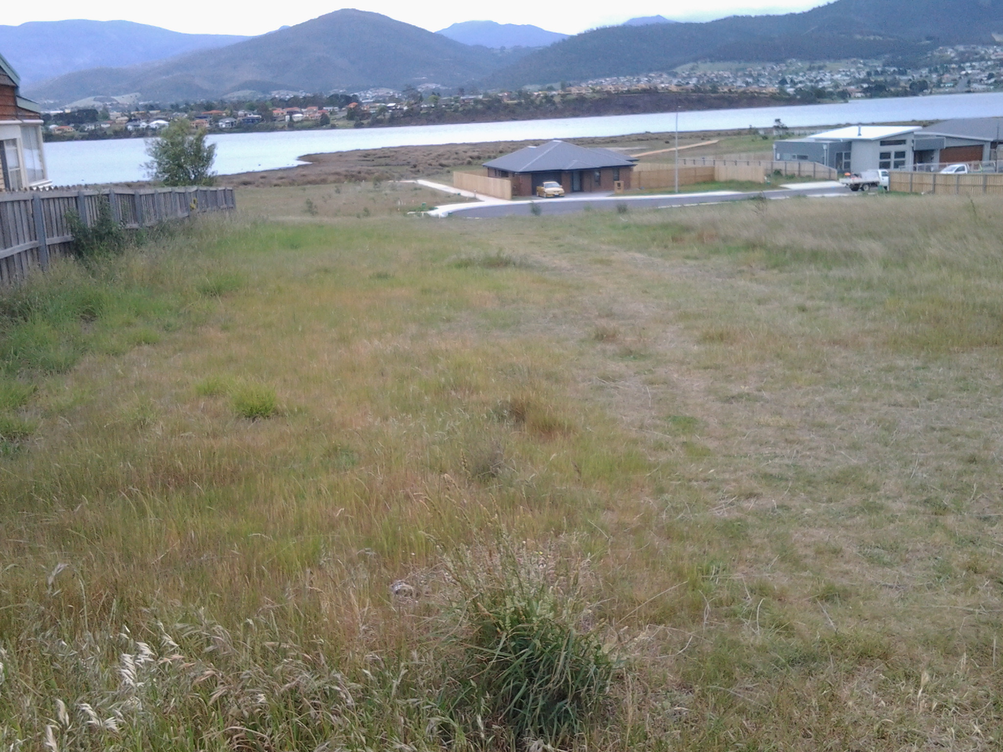
I never discovered if there was an actual Herdsmans Cove as in a bay or body of water, but I suspect it may be the small inlet adjacent and north of the Lamprill Circuit. If I had turned left I could have walked the Lamprill Circuit. However, because I could look down and could see a small shelter structure had been built at a vantage point where the River and mountain views could be appreciated and I realised going down meant coming back up a hill, I did not pursue this direction.

20141111_102911

Instead I turned right and headed northwards. This was the first of the Brighton local government signs and it made me more confident of where I was walking as I came across more.

At 10.30am I was rounding another gate and soon, away in the distance, I could see the tops of the Bridgewater Bridge.

20141111_111825

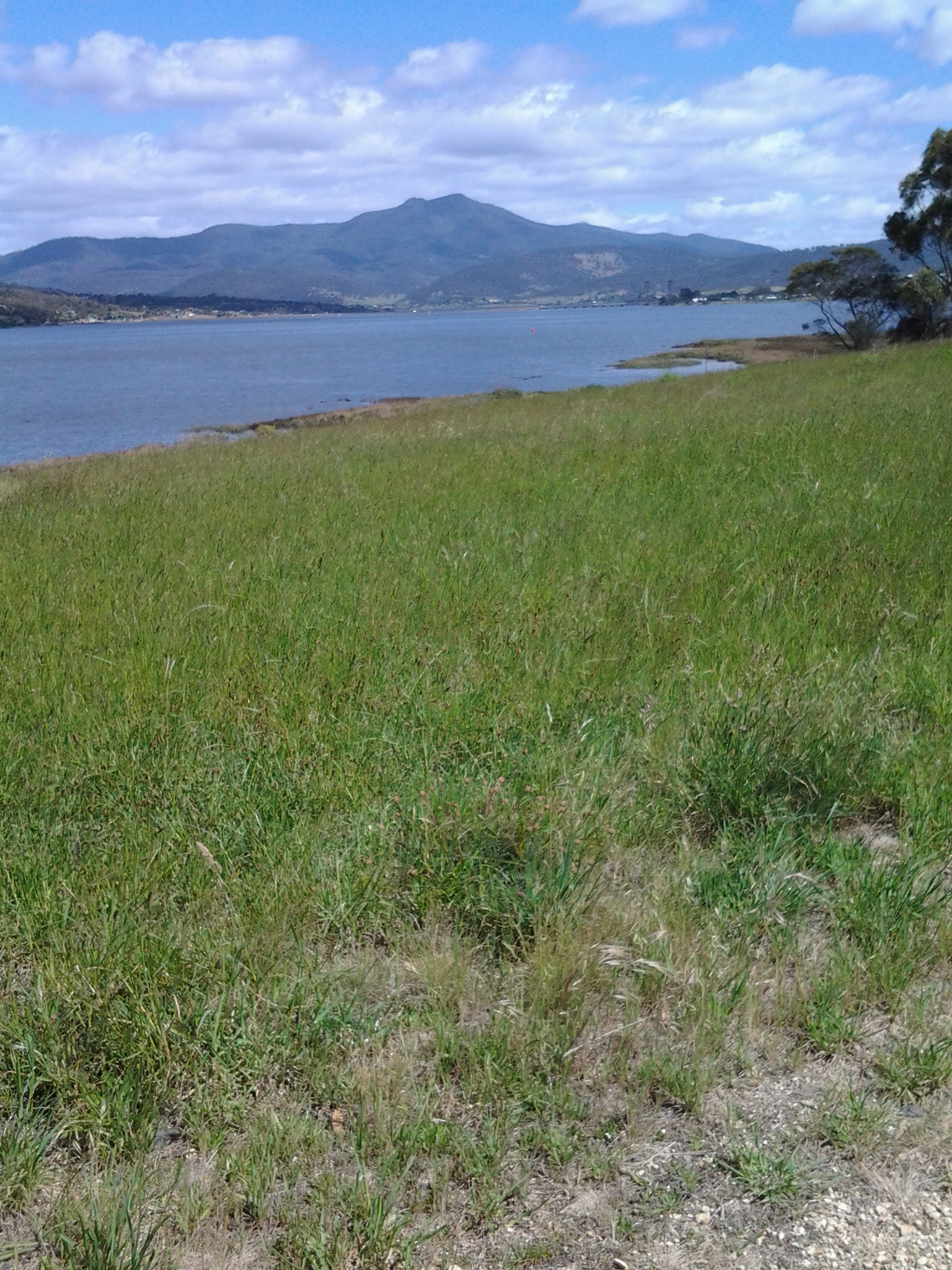
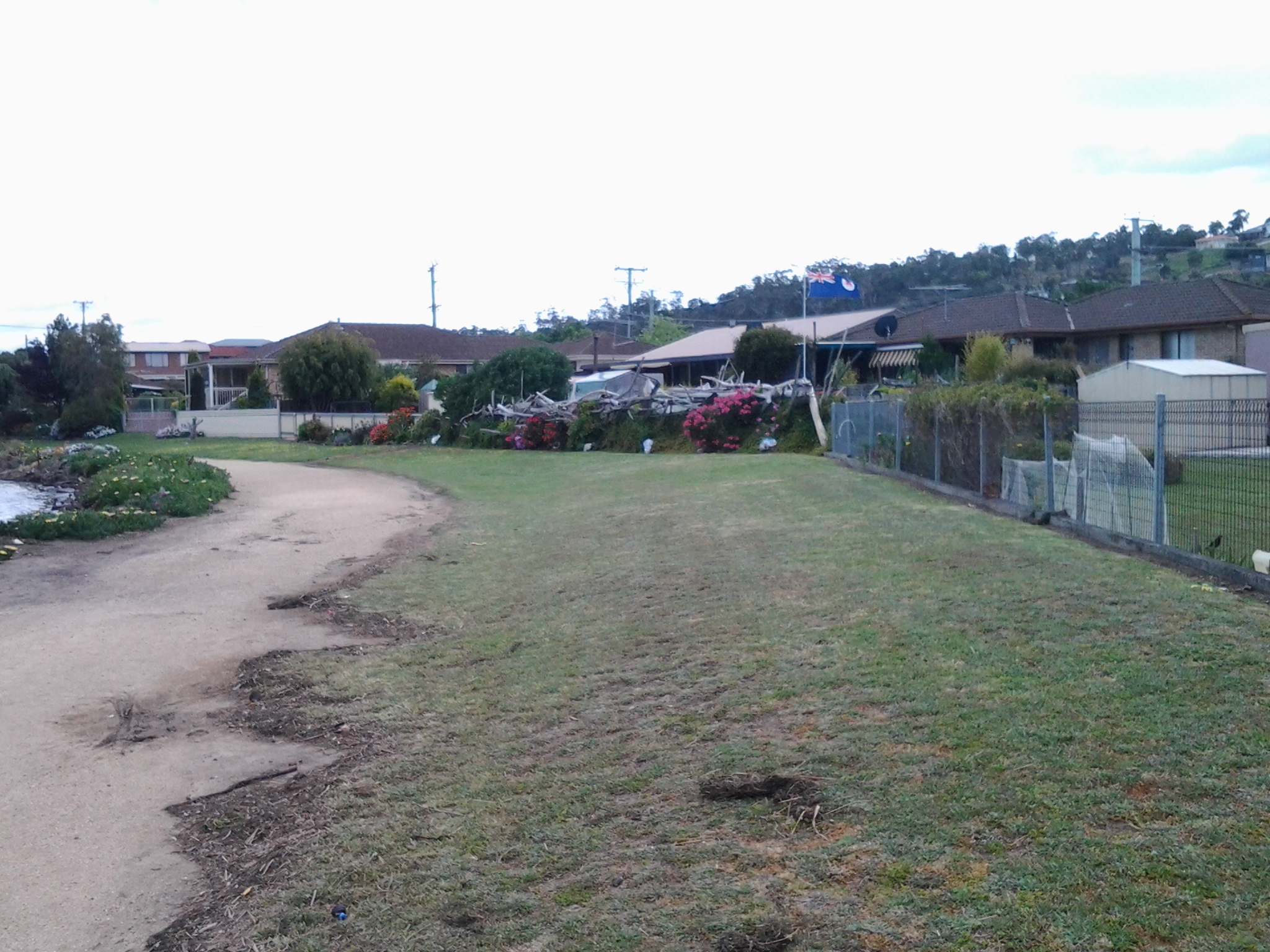
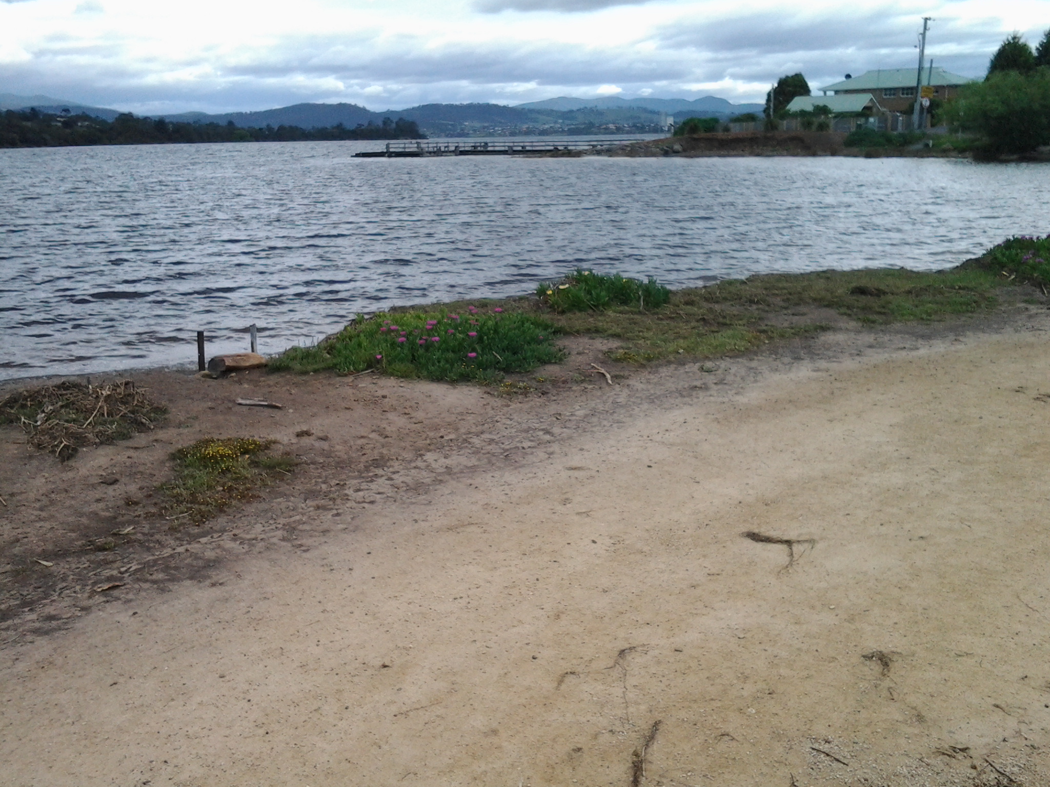
The walk around the suburb of Herdsmans Cove was uneventful. Lots of bird song beside the path and scattering tiny birds in the long grasses. A brilliant Blue Wren flitting. Mounds of black swans like dark rocks sleeping on the rocky shore. Foreshore Trail signs off and on. Gates to walk around.

20141111_104537

Eventually I was curving back towards the Highway and nearing the bridge over the Jordan River. Initially I was looking across the Jordan River at the suburb of Green Point (part of Bridgewater) –

20141111_104541

Then I was approaching the Bridge.

20141111_105339

A TasWater worker had parked his vehicle and was absorbed in problem solving inside a building alongside the Jordan. Beside him, I took an informal track up and onto the Jordan River Bridge.

20141111_105331

Discovering the suburb of Old Beach – 7th stage of my walk along the Derwent River

At 12.40pm I reached the town sign for Old Beach at Cassidy’s Bay. The Bay was covered with ducks of every age.  Families of ducklings are always a pleasure to see. Seemed like a safe haven for them.  Tall grasses grew into the water but there was no beach.

I continued walking along the highway, passed the turn off to the Baskerville raceway, and was eventually forced down into a clay sogged ditch almost until I reached the roundabout at 12.50pm.  At the roundabout, with the hilly section of Old Beach up on the right, the choice was to continue on to Bridgewater or turn left into Fouche Avenue. I turned left to the lowlands and walked through a reasonably affluent area. Back on proper footpaths. Just before 1pm I reached the Old Beach Neighbourhood Store claiming to serve hot food 7 days a week.  I didn’t enter to check.

20141031_125642

By 1.03pm, after passing a house outlandishly decorated for Halloween, I came to the end of the road.  It seems like one of those roads which will connect up with a street coming from the other direction at some other time. Everywhere I looked, new houses were being built so that I feel confident roads will connect sooner than later. I walked through the open paddock in the photo below in order to reach the ‘golden’ pathway in the distance which I assumed might lead me onwards next to the Derwent River.

20141031_130307

At 1.06pm I reached the lower path, which was appropriately signposted as the Old Beach Foreshore Trail, and enjoyed seeing more black swans, swooping swallows, flocks of starlings, and the usual screaming plovers. Closer to the water the path divided.  To the left it returned to Cassidy’s Bay (although I saw no signs of a path when I was there), to the right the path would continue to the Jetty at Jetty Road.  The spot where I stood was named the ‘Calm Place’.

20141031_131028

The photo above faces south across the lowlands of Old Beach (which doesn’t seem to have a beach), and provides a view of Mount Direction in the distance.

I headed north by taking the right hand trail. Not long after, on the right hand non River side of the path, I saw a tiny man-made lake, with its quota of swimming ducks and a rusting large sculptural tower on a central island with two Dominican Gulls on top (the expression ‘kings of the castle’ came to mind), amidst a stack of new houses and others being built. The sign on the fence worried me.

20141031_131049

I was concerned that because the land was so low and the lake depended on a levee to contain the water, any River flooding could be of great concern to the new property owners.  I wondered how much of that being built on was reclaimed land. I am surprised the local government allows new buildings here. With global warming increasing the sea level, these houses won’t be around in hundreds of years.

Blue skies opened above Mount Wellington in the distance but heavy clouds sat overhead.  Spits of rain persisted off and on for the rest of my time at Old Beach.  But it was time to have lunch. In the absence of any seats or rocks or other raised area, at 1.20pm I sat on the grass beside the Foreshore Trail, emptied my pack, and started munching as I absorbed the details of my low lying surroundings.  I could see heavy rain clouds that darkened the day travelling across the Derwent from the Mount Faulkner Conservation Area on the western shore.

20141031_132509  20141031_132519

At 1.35pm I was on my feet and continuing along the path, passing an alternative walk to Sun Valley Drive, and spotting a pair of native hens pecking ahead on my path.  A private fence made from large pieces of driftwood festooned with creeping bright flowering geraniums, caught my attention.

20141031_134059

At 1.43pm I arrived at the Old Beach jetty

20141031_134047

where I found an interpretative panel explaining some of the early 19th century history associated with the location of the jetty.

20141031_135134

As early as 1821, an Inn was established near the current jetty, and people would ferry across the Derwent from the western side of the River.

This 7th stage of my walk was coming to a quick close.  I knew a bus would be travelling along Jetty Road at 2pm, and that the next service would not be in the vicinity for another couple of hours. I had wanted to finish walking through all of Old Beach before I finished this stage, but the potential for a long wait for a bus inclined me to cut the anticipated walk short.  I walked along Jetty Road and waited at a bus stop.

Metro bus 114, destined for the Glenorchy Bus Mall on the western shore, picked me up.  I did not travel the entire way but if I had, I would have needed to catch a Hobart city bus to reach the CBD, then a bus to take me back to my home suburb of Bellerive on the eastern shore. A long way. A long time. From Old Beach there are no bus services travelling along the eastern shore.  All the buses travel to the northern city of the Greater Hobart Area of Glenorchy via the Bowen Bridge. Since I live in Bellerive on the eastern shore, I resolved to try Plan B. I proposed to catch a bus from Glenorchy to Hobart via the eastern shore and close to the Bellerive area. Once over the Bowen Bridge from Old Beach, I got off the bus at the first stop which was outside the Elwick racecourse at 2.15pm. I crossed the road and waited in a bus shelter for Metro bus 694. As the rain started to pour in earnest at 2.35pm, the bus arrived. Phew!

I loved the return trip. While again on the Bowen Bridge I looked northward and could see where I had walked earlier in the day. Ahead and looming over the land, was Mount Direction. Looking southward I could see the Cleburne Spit was empty of cars and people, the suburb of Risdon looked quiet, and a thick eddy of smoke rose from behind Risdon Cove. Closer to the area with the fire, a sweet wood smoke smell spread through the bus and reminded me of camping fires I have enjoyed in the past. That was a great conclusion. Memories of the immediate day and memories of the past coming together.

Now I am looking forward to preparing for and then walking the 8th stage of my walk along the Derwent River.  This next walk is likely to happen early next week, weather willing. Let the discoveries continue!