Tag Archives: East Derwent Highway

Chatting with a traveller

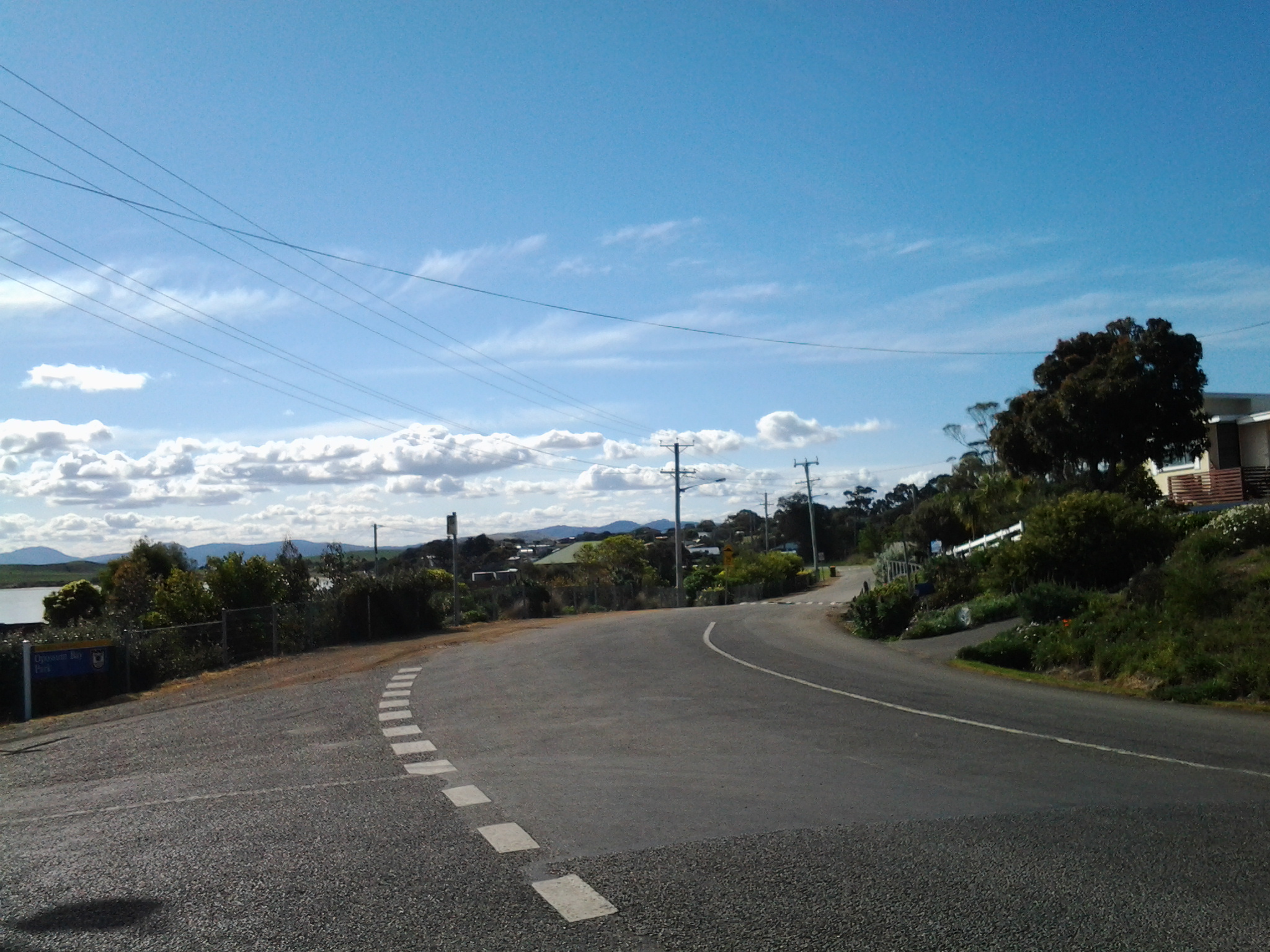
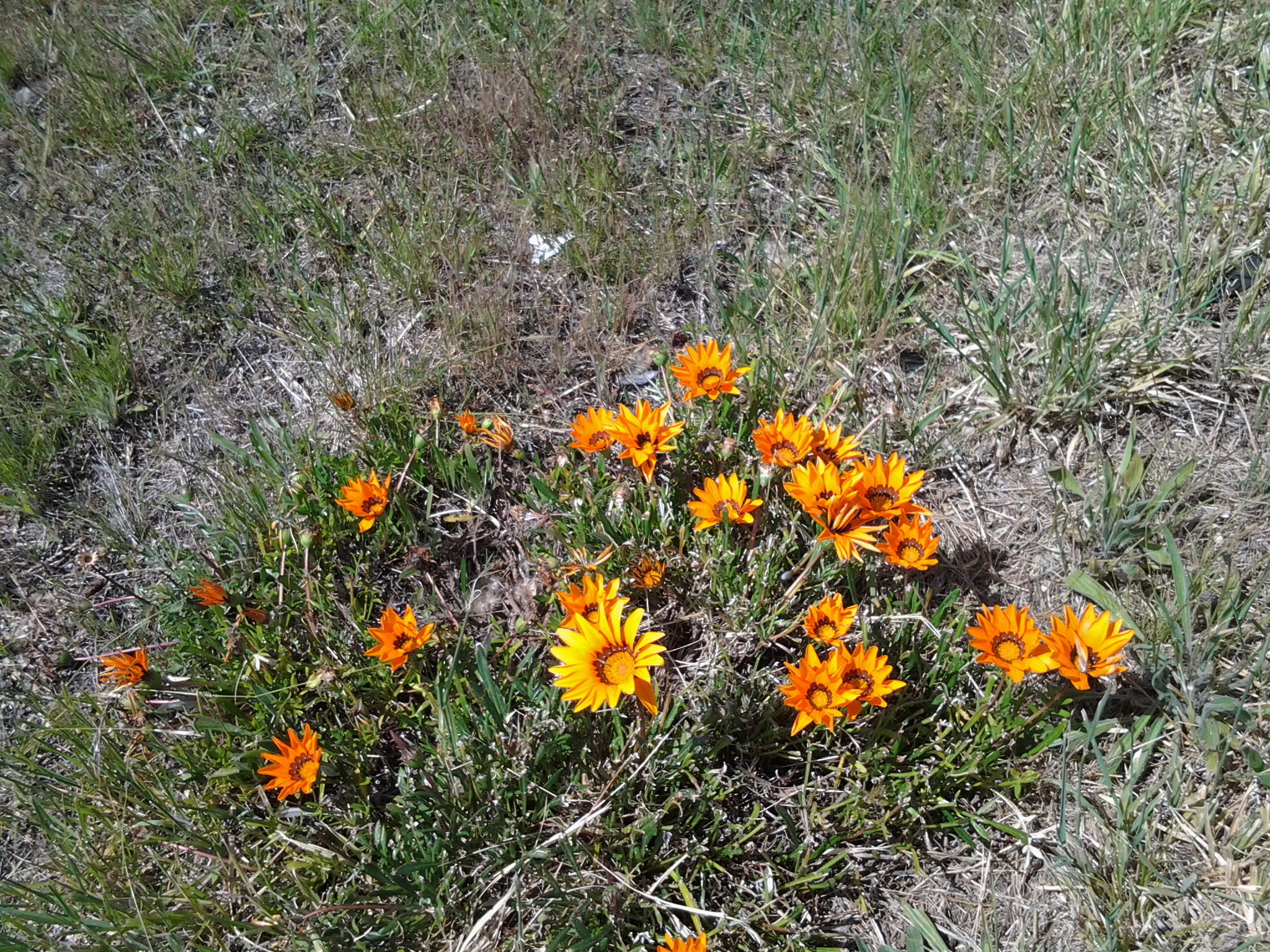
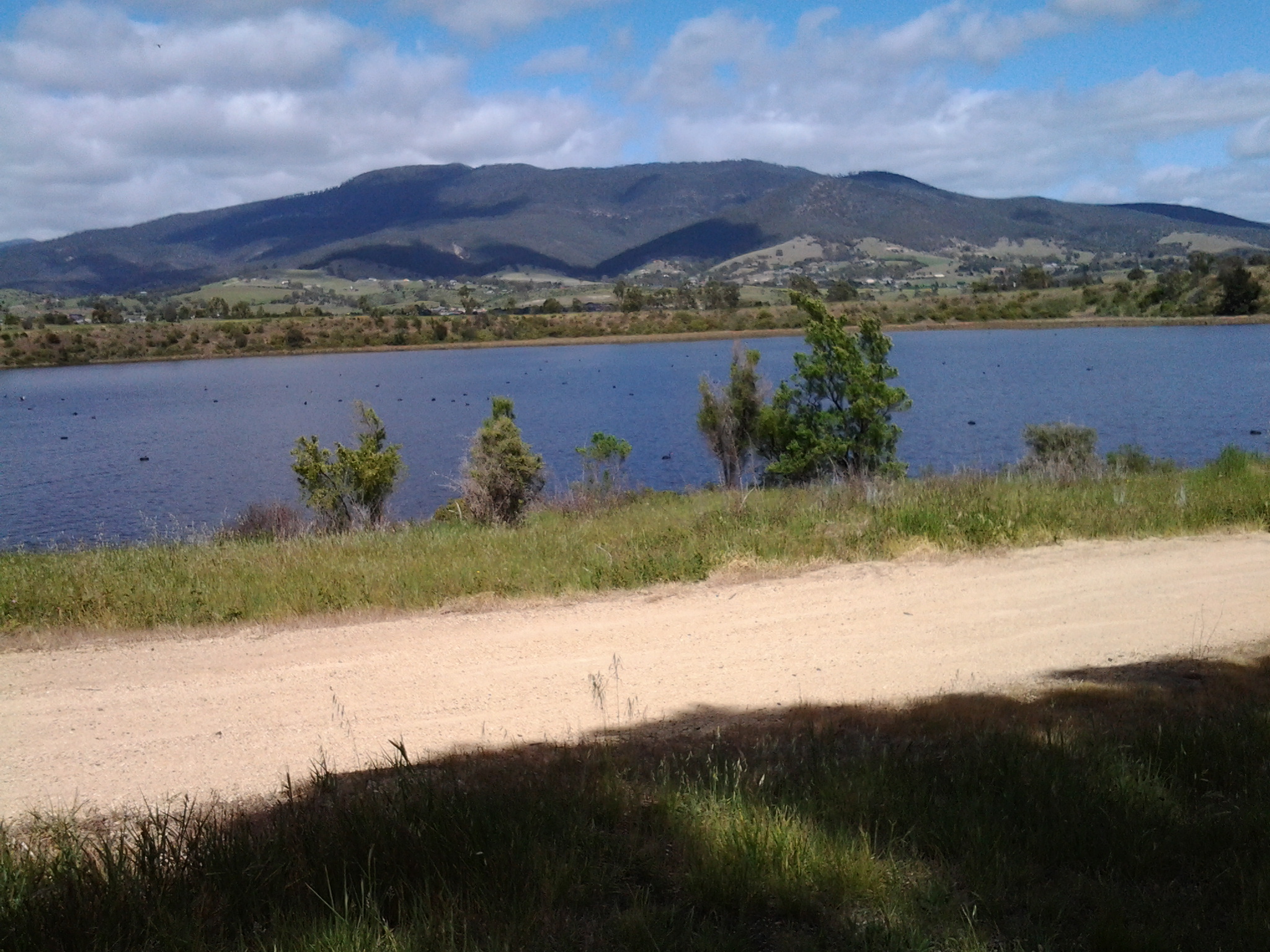
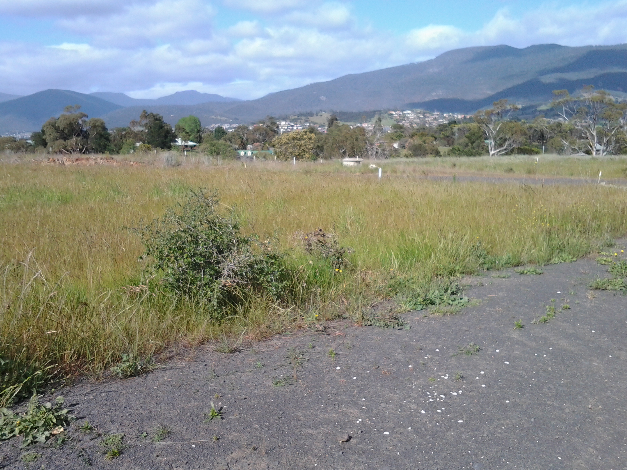
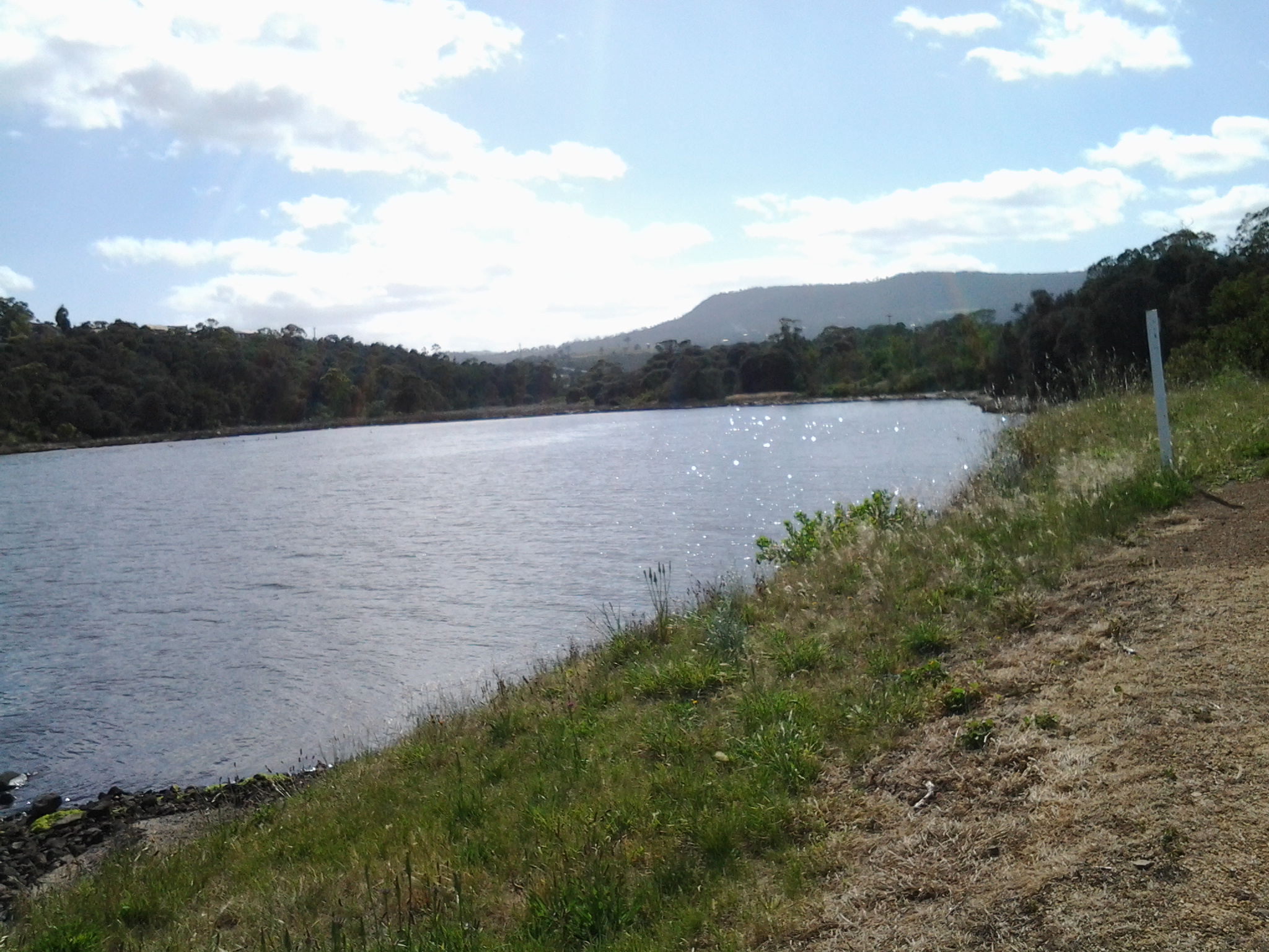
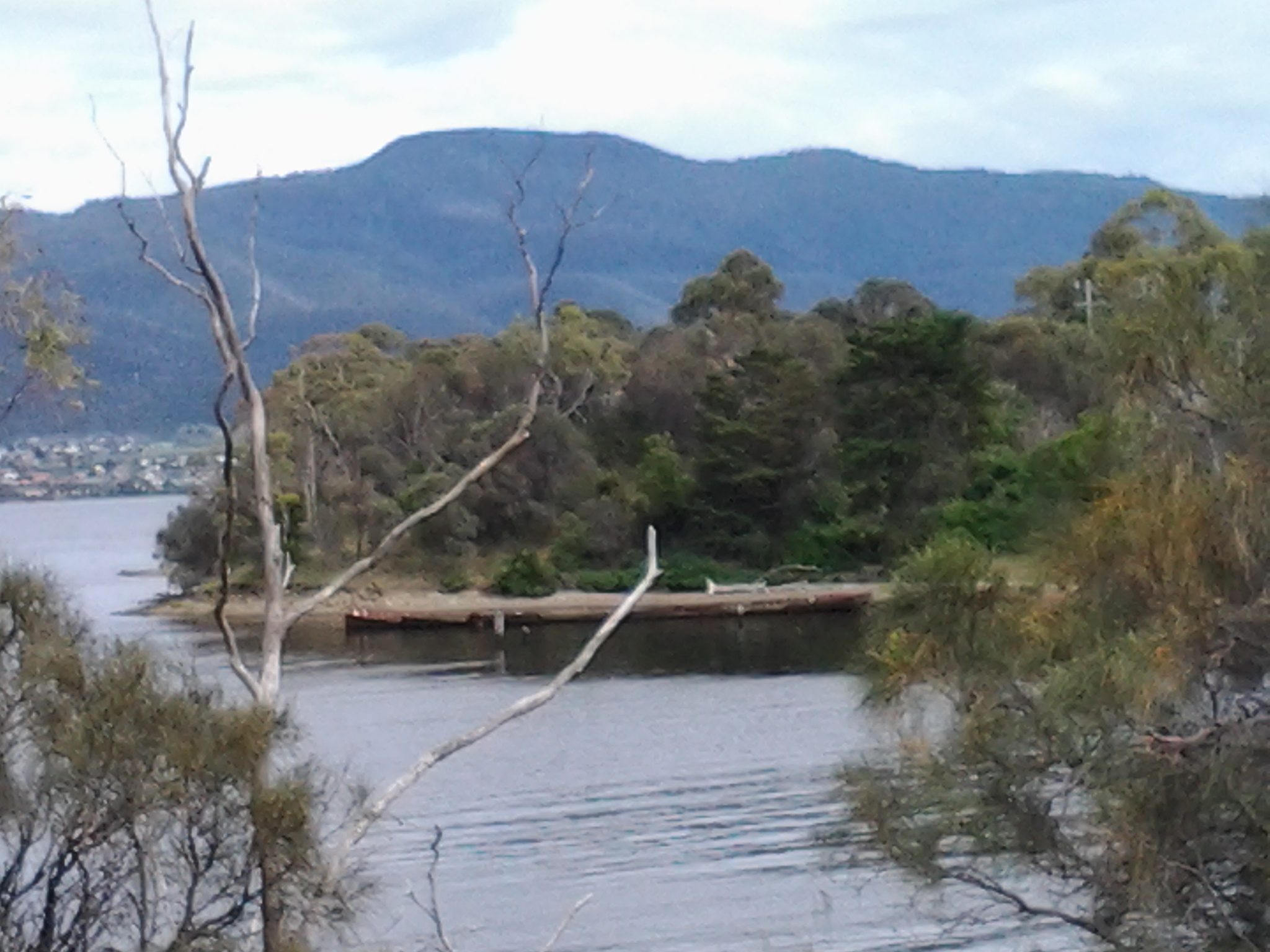
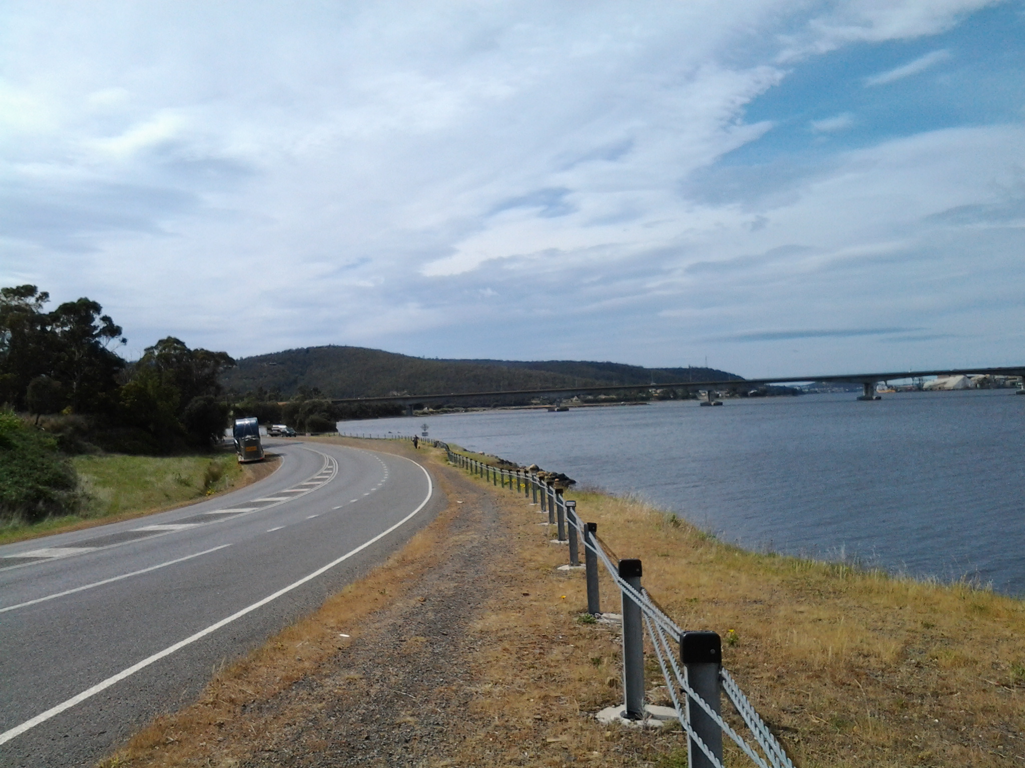
On Stage 14 of my walk from Granton to New Norfolk by the Derwent  River, a car pulled off the road ahead of me at Sorell Creek. The female driver sat motionless. I plodded on and, as I walked past the car, she wound down her side window and asked for help.  A farmer from inland NSW, she and her daughter were staying temporarily in Maydena (http://www.discovertasmania.com.au/about/regions-of-tasmania/hobart-and-south/maydena), a small town on the way to Strathgordon in south western Tasmania – a town where our shy native platypus can be seen in the fast flowing Tyenna River, the waters of which eventually flow downstream to help keep the Derwent River level high.

While her husband worked that day, she decided to take a drive in the car and look around to see more of the country.

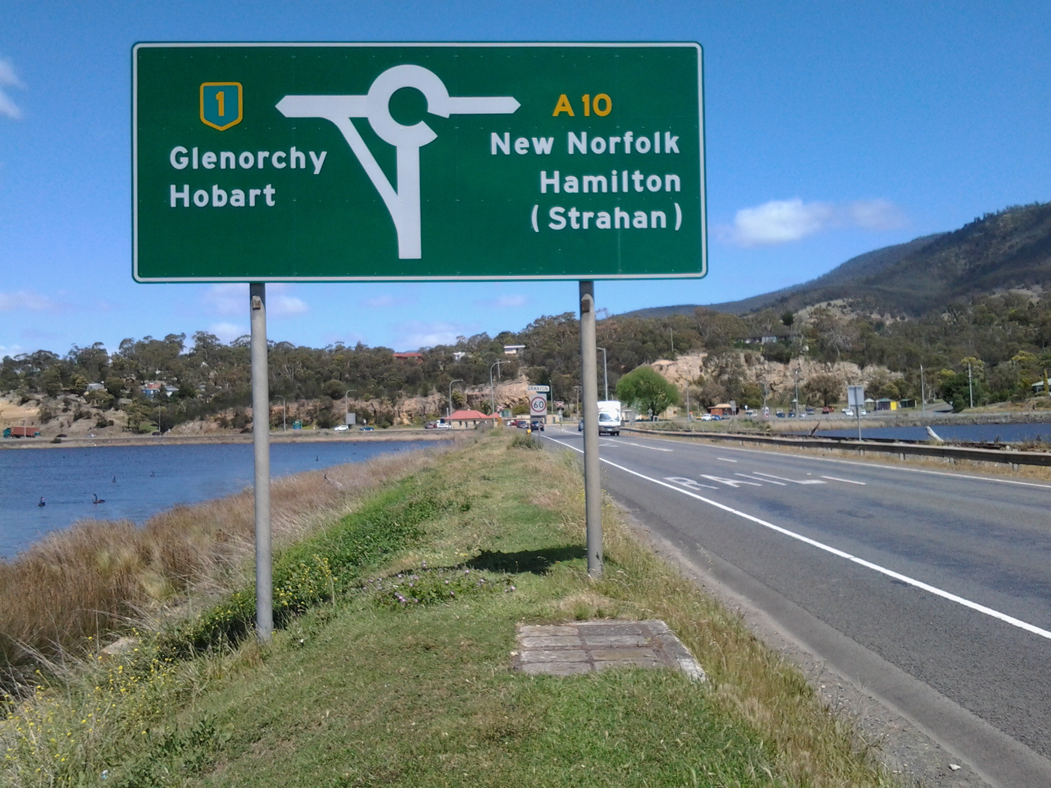
When we met, she wanted to find a route to the convict penitentiary at Port Arthur (http://www.portarthur.org.au) without needing to navigate busy Hobart city streets. Her only map was a small abbreviated tourist map of Tasmania that showed the main highways and a few towns. I dragged out some of my maps, and we chatted amiably while many options were considered.  Through these conversations I was clear that our road signage is designed for those who know where they are going, and not always for those who don’t know the terrain.

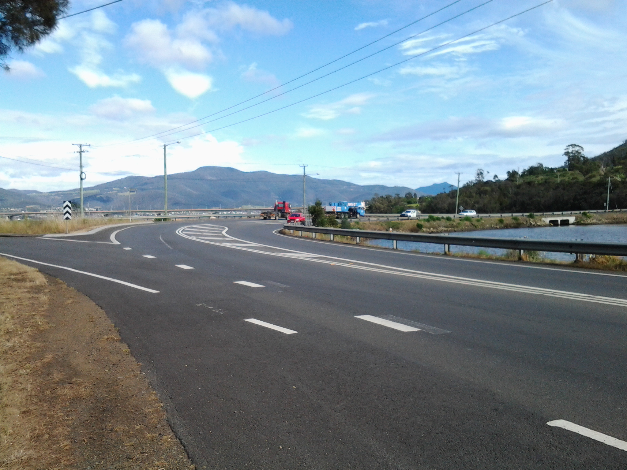
The thought of encouraging her to take the East Derwent Highway, come out near the Tasman Bridge and then need to cross three lanes of traffic immediately, filled me with dread.  When you are driving and unsure of where you are and how to get there, many signs and endless traffic can be disorienting.  I felt sure she would find herself in suburbia and never understand how to extract herself from there in order to be on her way to Port Arthur.

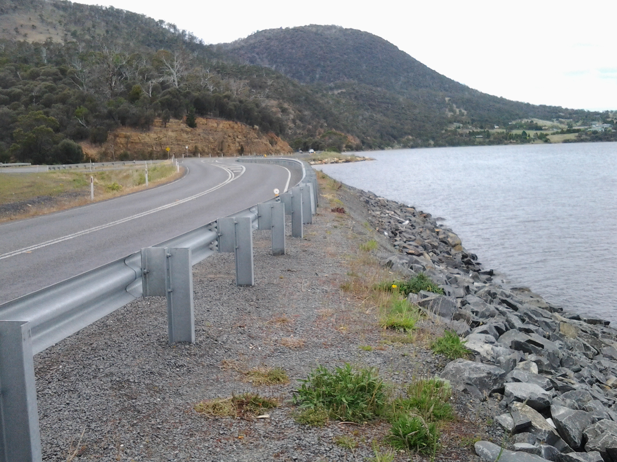
To take the Midlands Highway by crossing the Bridgewater Bridge, and travel towards Oatlands to find a cross country route, also seemed impractical.  Once off that highway, narrow winding roads lead eventually to Richmond but this would not help her easily to get onto a road leading to her destination, without much more direction asking of locals.

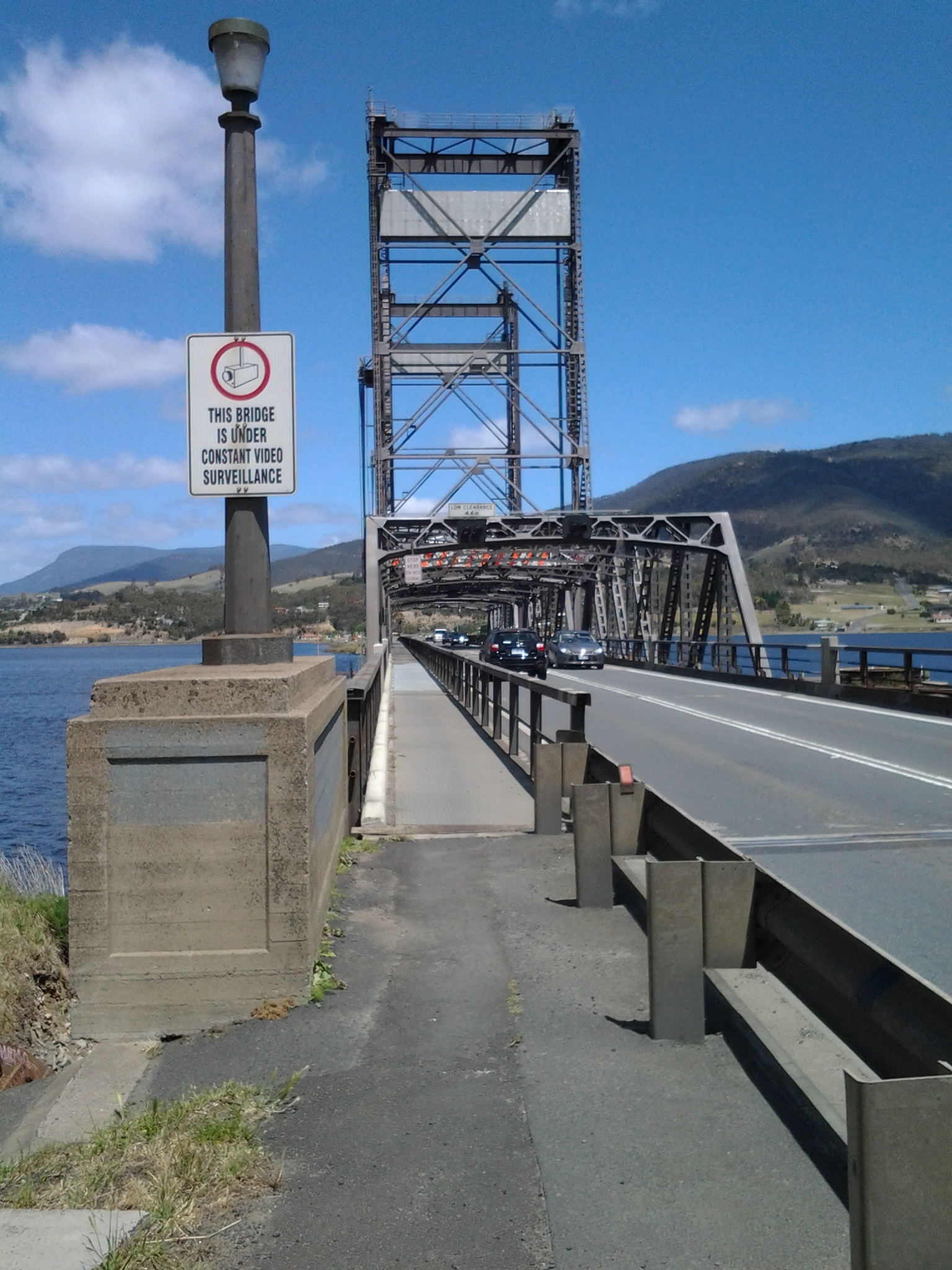
We settled on the option where she would continue along the Lyell Highway, drive along the Brooker Highway towards Hobart city, before taking the left hand exit to the Tasman Bridge near Hobart, and then driving across the Bridge.  I hope the blue airport symbol was posted liberally during that journey.  If she followed that symbol, then once at the final roundabout to the airport she knew to drive straight on.  We didn’t exchange contact details so I continue to wonder if she found Port Arthur without getting lost and without losing time.

At 12.15pm we parted company. I was glad to have had someone to talk with. Besides, she had been considering walking (http://www.bicentennialnationaltrail.com.au/) from the north to the south through Australia (a mere 5330kms from Cooktown in far northern Queensland to Healesville slightly east of Melbourne, Victoria).  I wish her all the best.

The Derwent River and its Highways

The south of Tasmania is crossed by trunk roads, regional freight roads and regional access roads, including six of the highways for walking on when walking from the mouth of the Derwent River to the source.

  1. The South Arm Highway which extends from Opossum Bay to where the suburb of Mornington reaches the Tasman Highway. I bussed and/or walked on the South Arm highway during Stages 1-3.

20140822_130241 20140904_133309

2.   On the eastern shore of the Derwent from Geilston Bay to Bridgewater Bridge it was the East Derwent Highway which felt the plod of my feet occasionally during stages 5 -8 of my walk.

20141031_093816 20141031_101844 20141031_122945 20141031_111951 20141031_121153 20141111_105455

3.    Once I reached Bridgewater on Stage 9, the highway crossing the Bridge was the Midland or Midlands Highway (sometimes referred to as the Heritage Highway).

20141111_131431 20141111_132913

4.     Some of Stage 12 of my walk on the western shore towards the mouth of the Derwent River, included a couple of kilometres on the Channel Highway.

20150202_095550

5.   At the start of Stage 14 I will walk on the last few metres of the Brooker Highway, the main highway which extends from the centre of Hobart city to the Bridgewater Bridge at Granton. For the first time, at the Bridgewater Bridge, this Highway edges the Derwent River.

6.    Immediately after the highway intersection with the Bridge, the Lyell Highway commences. From Granton until I reach the source, the Derwent River winds closest to the Lyell Highway, the highway which extends west to the town of Queenstown (which is overshadowed by the copper bearing Mount Lyell). This highway will be my life line in terms of accessing public buses.

Across the Jordon and into Greens Point as I walked northwards along the Derwent River

In leaving Herdsmans Cove, I was back on the East Derwent Highway and immediately crossing the bridge northwards across the Jordan River.

20141111_105455

Looking towards the Green Point peninsula at the far end (Derwent River is on the other side of the peninsula) from the Jordan River Bridge: suburbs of Herdsmans Cove on the left and Green Point on the right.

20141111_105605

I was off the bridge by 11am and walking up the bitumen path beside the Highway until I reached a yellow gravel path to the left, where I turned and continued on with wild fennel flourishing on the sides of the path along with brightly flowering gazanias growing wild, walked around another gate and by 11.11am I reached the sign for the Bridgewater Foreshore Trail.

20141111_110243   20141111_111122

In the distance I could see rain showers softening over Mount Wellington but I was dry and walking in the sunshine. After rounding another gate, a sign pointed out the Green Point Scenic Loop off to the left. I headed along this in a southward direction enjoying the fresh smell of the gum trees and the perfume of the wattle flowers.

20141111_111239  20141111_111236  20141111_111233  20141111_111231  20141111_111500  20141111_112105

At 11.35am I reached the point of Green Point at the junction of the Jordan River with the Derwent River and sat on the grass beside the path for a brunch break.  My breakfast was eaten at 6am so I was a smidgin hungry by this time. A strong south westerly wind blew across the Derwent River and buffeted me. The freshness was invigorating.

20141111_113217 20141111_114835

Ten minutes later I was up and walking on.

A few minutes after midday I had passed some more gates and signs and had chosen the trail closest to the shore leading north. On my right were the fences of some houses, and either someone had dumped their rubbish over the fence or the wind had blown it there. I was amused to see a blue hard plastic chair hanging on a washing line.

Just after 12.30pm I walked around the Green Point Waste Water Treatment Centre, or as some maps have it, the Sewage Works.  The fresh smells of wattle or gum trees couldn’t reach my nose here. For some reason?

20141111_123316

Near the Treatment Works I walked back on a street for some metres before coming around a corner where I was able to return to the yellow gravel road (am I Tasmania’s version of Dorothy from the Wizard of Oz?).

Now I was about to walk around the suburb of Bridgewater.

Onwards into and around Herdsmans Cove on the 8th stage of my walk along the Derwent Rive

At 9.48 am I was leaving Old Beach and continuing my walk northwards along the East Derwent Highway with its noise of heavy trucks and speeding cars passing me by. To my left were masses of overgrowing blackberry brambles reminding me of the thicket scrambled through on my last walk.  Not long after, the hint of a track on the left took me away from the edge and above the Highway and a little closer to the River.  I continued for a while when it seemed like the track would descend into Gage Cove, but it petered out – I recommend anyone following in my tracks stays on the Highway. Overhead soared a large hawk or kite drifting on the breeze while looking down for a feed.   Below I could see black swans feeling safe on the waters of the reedy Cove. Back towards the road I walked, clambered over a collapsing barbed wire fence, and eventually down onto the unprotected road verge and again sometimes into the ditch (with the thrown cigarette butts and the jetsam of McHappy Meals). At 9.58am I reached the sign for Gage Brook and soon after observed some water ran below towards Gage Cove, amidst a conglomeration of marshy and spiky vegetation.

I continued past a second sign directing traffic to the Baskerville Raceway, and at 10.10am I turned left at a major roundabout (suburb of Gagebrook to the right, Bridgewater straight ahead and Herdsmans Cove to the left). A minute later I turned left at a T-junction then left again at Calvert Court at 10.19am.

I loved hearing the wind in the massive gum trees.  Majestic to look at. Thrilling to listen to. The photo bellows shows a stand of gums in a mowed parkland beside the Bellerive walk. The trees I saw at Herdsmans Cove were much larger.

20141111_121906

At 10.23am I turned left at a short unnamed cul de sac with an empty block leading to a foreshore trail. Two locals, who were mowing lawns, confirmed this was the way to go. On the track, a sign gave directions along this ‘Swan Park Trail’.

20141111_102504  20141111_104216

I never discovered if there was an actual Herdsmans Cove as in a bay or body of water, but I suspect it may be the small inlet adjacent and north of the Lamprill Circuit. If I had turned left I could have walked the Lamprill Circuit. However, because I could look down and could see a small shelter structure had been built at a vantage point where the River and mountain views could be appreciated and I realised going down meant coming back up a hill, I did not pursue this direction.

20141111_102911

Instead I turned right and headed northwards. This was the first of the Brighton local government signs and it made me more confident of where I was walking as I came across more.

At 10.30am I was rounding another gate and soon, away in the distance, I could see the tops of the Bridgewater Bridge.

20141111_111825

The walk around the suburb of Herdsmans Cove was uneventful. Lots of bird song beside the path and scattering tiny birds in the long grasses. A brilliant Blue Wren flitting. Mounds of black swans like dark rocks sleeping on the rocky shore. Foreshore Trail signs off and on. Gates to walk around.

20141111_104537

Eventually I was curving back towards the Highway and nearing the bridge over the Jordan River. Initially I was looking across the Jordan River at the suburb of Green Point (part of Bridgewater) –

20141111_104541

Then I was approaching the Bridge.

20141111_105339

A TasWater worker had parked his vehicle and was absorbed in problem solving inside a building alongside the Jordan. Beside him, I took an informal track up and onto the Jordan River Bridge.

20141111_105331

Starting stage 8 of my walk along the Derwent River

My starting point was the jetty half way through Old Beach on the eastern shore, and to reach this from my home in Bellerive on the eastern shore of the Derwent River was not straightforward. There are no direct buses from Bellerive to Old Beach.

Instead, I left home at 6.45am (way too early for my liking but no other choice), passed three Black Cockatoos feasting on a native tree in a private home (one acted as a sentry high up while the others gorged themselves), walked to the Eastlands bus mall and caught the first bus through to the bus mall in Elizabeth St in Hobart’s CBD. At 7.17am the X1 express bus to Glenorchy in the northern suburbs of the Greater Hobart Area (and beyond) departed. This arrived at 7.35am at the Glenorchy bus mall and, anticipating public toilets would be non-existent for my walk, I walked over to the Northgate shopping centre to use their facilities. I was back at the bus mall in time to catch Metro bus 126 to Old Beach which departed at 8am. At 8.20am I stepped off the bus ready for the day.

The sky was overcast and I was wearing a thermal top over my T-shirt and topped with a fleece jacket.  Blowy. Hard air hitting my face.

Since there was no direct water access from the jetty northwards, I walked through the suburban streets staying on the hard concrete footpaths. Plovers and Blackbirds were my constant companions and extravagant blooming roses and wattles perfumed the air. It was rubbish removal day and the streets were lined with bulging large faded red wheelie bins and yellow lidded green bins. The wind had lifted many lids and these were thrown back as if saluting when on parade (a vision that friend Jo exclaimed he saw).

At 8.33am I reached the intersection with the East Derwent Highway and lost a footpath. I turned left and walked beside the highway where it was obvious a few other people had walked but there was no formal pathway. At this point I could see the water of the Derwent River but I was not close. It was clear that property owners had fenced and gated off any access to the River and I need to determine whether they had the right to do this in all cases.  I continued on the Highway noticing the signpost to the Bonorong Wildlife Park and Compton Agistment Centre marking the turn off from the highway away from the River.

Not much further along I saw a track between new houses on the left and followed it then through the grassy bushland but, as lovely as it was, it was impassable offering no easy way to the River and so I had to retrace my steps. At 8.54am I was back on the Highway walking to the left of the guard rails (so that I wasn’t directly on the Highway) on rolling gravel where a path was never intended.  Then the guard rail disappeared so I walked carefully as far off the road on the narrow verge as I could.  Sometimes I walked in the ditch. By 8.58am I was passing Compton Road and at 9.01 I reached Clarrie’s Creek. I began to disrobe as the morning and the exercise began to warm me: off came my thermal top.

The perfume from the flowering wattle trees was invasive and pervasive in the nicest way.  Please feel free to use any of the photos below as a screen saver. I have.

20141111_103700 20141111_103704 20141111_103708 20141111_103711 20141111_103716

Continuing along the Highway, I walked up an incline until I could turn left on a bitumen roadway. This was blocked by a gate, but there was walking space around this, used by others. I had reached the newest part of Old Beach on its own rounded headland. Once past the gate I turned left towards the Verve Village site office signs and walked on. Through the mesh fence to my right I could see the Verve café, not open. The time was 9.10am.

Not long afterwards I was snapping photos of the low mountains and hills across the Derwent River on the western shore. Grandly beautiful in a simple way.

20141111_091212  20141111_091128

This ‘roadway’ eventually ended at a locked gate but again a regularly padded informal path was clearly visible around the obstacle.  I turned left and 100 metres along, a yellow gravel path appeared. The path had no sign but I hoped it was a foreshore trail and followed it. It was.  A trail with almost no signs of animal life except a massive black furry feral cat bounding away and a sole man out for exercise.  Crows carrhh carrhh carrhhed in the distance and overhead. Casuarina trees edged the path and through them the woodland was open and airy. Water lapped onto the shore. Mudstone rocks edged out of the soil on the banks. I enjoyed a flash of colour when I noticed yellow and orange flowering nasturtiums that had escaped from a suburban garden into the bush.

The photos below show a view southwards to the River from the first 100 metres of the path.

20141111_091838 20141111_091955  20141111_092155

The foreshore trail was easy to follow, wide and clear.

20141111_092752

At 9.36am I reached the point where the Derwent River and Gage Cove met.

20141111_093443

The trail curved into the Cove but not before a man-made construction, to the right of the path, seemed to flush deep below and then a dreadful stink followed. I tried not to think what was going on there.

20141111_093606

By 9.42am I was walking up into the suburb having enjoyed watching black swans floating around in the Cove, and a few minutes later I reached a gate which, as usual, I walked around.  I turned left and followed the road from the cul de sac amidst the noise of every neighbourhood dog barking to indicate a stranger was nearby.  Me.

At 9.45am I turned left at the T junction and by 9.48am I reached the intersection of Stanfield Drive with the East Derwent Highway.  Continuing on I could look down in Gage Cove with its coating of red algae or some other red plant.

20141111_100127

So far my morning had gone well and I was enjoying myself. Also, I was pleased that I had finished passing through all parts of the suburb of Old Beach and was ready for the next suburb.

Completing the last northern part of Otago Bay suburb – on 7th stage of my walk along the Derwent River

Where I went and where followers should walk are two separate pathways.  I will describe my walk for your amusement, but you should stay on the highway and not deviate as I did. Only a  masochist would take my path.

Having connected back onto the East Derwent Highway from Otago Bay Road I continued walking north. On route I looked north across the Derwent River to the next suburb Old Beach, as shown in the photo below. I loved the yellow/orange/burnt red coloured gazania flowers which grew wildly along many parts of this route.

20141031_112220

Not long afterwards, I reached Murtons Rd and turned left to walk towards the river edge. To my left was the small inlet Woodville Bay. In the photo of the Bay below, I believe the yellow flowers in the foreground are probably part of wild wind-sown canola plants.

20141031_112839

This area seemed very rural and I enjoyed the tufts of wild fennel growing near the edge of the road, the green grassy paddocks and the screaming plovers making it clear I was encroaching on their territory. I was delighted when two black lambs raced down their paddock to greet me, obviously hand-reared and very comfortable with humans.  If I had picked them up over the fence it would probably have been a case of ‘Mary had a little lamb … and everywhere that Mary went the lamb was sure to follow’.  Very cute. Very vocal.

20141031_113114

Further on, a couple of rough looking shetland ponies appeared on the hill above and in a later paddock, horses nibbled slim pastures.

20141031_113650

On my left I had clear views across the Derwent River to the suburb of Old Beach.

20141031_113536

I surprised a pair of native hens scratching in the undergrowth.  My arrival disturbed them so they skittered away.  If you look closely in the photo below you will see one running across the roadway leading to a private property.

20141031_113800

Soon afterwards, the road on which I was walking came to an end.  Ahead of me through the bushes was the barely visible remains of pathways that others, and perhaps animals, had walked very occasionally. I had the choice to step down onto the narrow easy rocky shore or work my way through these paths which were only a little above water level.  You may recall from an earlier blog, that friend Me and I did some advance research on the possibilities for my future walks. This was one cul de sac we reached. Back then the paths were much clearer.  In the few weeks since we investigated, spring rains and rising temperatures have encouraged the plant life to flourish. I was fine clambering over and under fallen trees and branches and avoiding abandoned car tyres and other rubbish, but then the track disappeared under a thicket. Not to be beaten, and never to retreat, I decided to drop down onto the rocks and continue walking along the foreshore.

Around one corner I was surprised to find a pair of duck parents and their totally camouflaged teenager sleeping on the rocks amidst the flotsam and jetsam of human kind. Their retreat to the water was slow and cumbersome. It was almost as if a human being had never passed this way before.

This was okay for a while until I met with a barrier of tree branches cascading into and across the water.  I realised there would be no easy way over or through. Spotting the makings of a rough pathway on the bank, I clambered up. Before long I was practising something like one does with that ‘pick up sticks’ children’s game: I was lifting one spiky branch and pieces of barbed wire off another and standing on others in order to move my way through an ever more tricky brambling landscape. Vaguely in the distance, through the vegetation, I could glimpse a hill which looked like soft grass. A very attractive vista considering my circumstances.  Between me and that escape route was a tangle of wild freely sown long waving branches of thorny roses, and a forest of healthy but spiky blackberry canes, all intertwined. Going back to Murtons Road was not an option I would consider.  So, rather like a snorting pig, and sometimes down on my knees, I edged my way through. It took quite a while. Surprisingly no clothes were ripped and I received only a few slight scratches. Climbing the small hill of weedy and native grasses was comparatively heavenly by comparison. Then I found myself back on the East Derwent Highway and strode off happily a few minutes after 12 noon.

Into and through the suburb of Otago Bay – part of the 7th stage of my walk along the Derwent River

Before long I could see the water of Otago Bay, and I could see the rusty remnants of the two boats, the Otago and the Westralian. In the photo below, the low mountain on the other side of the Derwent is Mount Faulkner.

20141031_102131

Ja and her dog were lively company and walking with her was a big change from my normal solo experiences. We enjoyed photographing each other in this quiet and peaceful place and parted once we reached the interpretative panel near the sunken ribs of the two boats (Westralian on the left and Otago on the right in the photo below).

20141031_104822

I was disappointed that the main point of the interpretative panel was not to talk broadly about the history of both boats but to laud the last Captain of the Otago, the esteemed novelist Joseph Conrad.  Over the road, Conrad Drive wound up the hill into a residential area. It seems the author has become most important.  The Westralian is not mentioned at all so I can only imagine other visitors must leave the site quite puzzled about what they are seeing. In an earlier posting I provided detailed information about the Otago, after which the Bay and suburb have been named. The Westralian was a steam ship abandoned and cut down during the 1930s.

It was 10.40am before I left the boats of Otago Bay. I walked uphill – yet again without a formal pathway so I was alert for cars travelling through. There are always ‘lead foot Larrys’ whose press on the car’s accelerator speeds them through the suburban streets as they veer unexpectedly onto whichever side of the road gives them the shortest path to whatever their destination.  Could be a shortcut to God if they are not careful.

This leafy gum-treed suburb is mostly high above the Derwent River and many of the houses sit with grand views. At one point I could see that I was level with the height of the Bowen Bridge in the distance.  It was not possible to walk around the water’s edge and it was impossible to walk around the edge of the cliffs because access to these has been cut off by the gates and fences of private property.

I stayed walking up and down and then up and then downhill on undulating Otago Bay Road.

20141031_110555

Some houses were located on 5 acre lots. Some parts of the suburb seemed quite rural without any sign of active agricultural businesses. I passed a creek with croaking frogs and others making a soft booming bom bom, bom bom; a repetitive but very musical sound. Wild blackberry canes flourished. Sulphur crested cockatoos screamed through the trees. The sounds of so many other birds reverberated through the bush. Beautiful. Wonderful.

At 11.10am, I noted a left hand road led to accommodation; the Penenjou Bed and Breakfast. I didn’t walk this road but I imagine that tourists staying out here might find the country to be very attractive and peaceful.  Apparently the homestead is located on a hectare of developed gardens overlooking Mount Wellington.

I continued walking along Otago Bay Road, close to and parallel to the Highway.

At the intersection with Restdown Drive reached at 11.18am, a sign pointed to another accommodation option Otago Cottage (http://www.otagocottage.com.au/). Again, knowing this was a No Through Road, I stayed walking along Otago Bay Road.

Looking inland I could see the smallish mound of Mount Direction.  From experience I know that walking tracks on this mountain can be accessed from the Risdon Dam Reserve near to the Prison and Willow Tavern, way back near Risdon Cove.

20141031_111945

I reconnected with the East Derwent Highway at 11.22am, edged the road dodging rain spits, and continued walking northwards.

20141031_111957  20141031_111951

From Risdon Cove walking towards Otago Bay along the Derwent River- part of the 7th stage of my walk

For safety’s sake I continued walking along on the Derwent River side rather than on the road side of the guard rail, although there were moments when the edge fell away and so I was forced temporarily back onto the road. This stage certainly would not be one that someone using crutches or a wheel chair could follow. There were no official paths and so I made do with whatever I could in terms of a suitable walking path.

I enjoyed this part of the walk observing more black swans in pairs and families of ducklings out for a paddle.  At the end of the bay of Risdon Cove, I exchanged friendly greetings with a couple of woman who were selling bunches of colourful flowers from the boot of their car on a set back on the other side of the road.

I continued up an incline still on the ‘safe’ side of the railing amidst blown and thrown rubbish, tall weeds, and native grasses.  Whispering casuarina trees separated me from the River. Clearly people have walked here before but it is a rough ‘non-path’.

At 9.54am I reached the turn off signposted to Bridgewater, began the left hand walk downhill, and passed the furry remains of dead possums (unfortunately ex- road-kill).  To my right, on the other side of the road, the 19th century heritage listed Cleburne Homestead and its scatter of old sandstone buildings popped occasionally into view through large trees and bushes.  The Homestead operates as a luxury bed and breakfast art hotel style establishment (http://www.visitcleburne.com.au/).

The photo below shows the Cleburne Spit which inserts itself into the Derwent River, with the Bowen Bridge crossing the River in the distance.

20141031_095246

At 10am I arrived at the junction road leading left to the Cleburne Spit. The Spit looked very much like a man made raised wall approximately one or two car widths wide that extends out in a straight line into the Derwent River.  Perhaps it was a series of rocks that once could be walked upon and then someone dropped filling rocks to create a breakwater to fish from or some other activity. I wonder what the real story is. My guess is that the Spit was named after 19th century settler Richard Cleburne.  He was an interesting character who had a property in the area and was suspected of smuggling. Did the Spit figure in such illegal activities I wonder? More information about Richard can be read at http://adb.anu.edu.au/biography/cleburne-richard-1903.

My view across the Derwent took in the noisy Nystar works previously seen and heard on Stage 6 of the walk.  Immediately next to Nystar and further north, I could see another major industrial site: Incat, a manufacturer of very large catamarans.  In the photo below, a massive white structure has two dark ends. Inside each of these spaces, a new catamaran is being built – usually for an overseas market.

20141031_095558

The East Derwent Highway curved in a sweeping right-hand bend from its junction with the road to Cleburne Spit. I walked straight ahead to the River and then curved around to the right keeping parallel with the Highway.  Amidst discarded rubbish, straggling weeds and under the casuarina trees I discovered two plaques: one commemorating the beginning of the building of the nearby Bowen Bridge and the second marking the official opening ceremony of the Bridge. On both occasions an Australian Prime Minister was given the honoured task. Two very strong and formidable men: Malcolm Fraser began the bridge and Bob Hawke opened the bridge.

20141031_100200

I followed a short bitumen pathway and stood underneath the Bowen Bridge a few minutes after 10am. Eventually I walked beside the guard rail and, depending on the safety of the ‘non-path’, I walked on one side or the other.  Sometimes there was a sandy rough drop to the water below, and sometimes I was walking next to the River at ‘sea level’.

By 10.07am I reached the sign indicating I had moved from the Risdon area into the Otago Bay suburb.  At 10.11am another sign gave me advance warning that Otago Bay Road was up ahead.

In a pull-off-the-road siding, a middle aged man wearing clean moleskin trousers and a sporting peaked cap advertised new season South Arm Pink Eye potatoes. The back of his truck was open and he sold his vegetables to people who, once their cars had skidded to a halt on the gravelly surface, climbed out of their vehicles for a stretch and then a leisurely meander over to check the goods. There was something slightly furtive about the way he wouldn’t meet my eyes which left me wondering why.

The photo below looks southward towards the Bowen Bridge. One of the vehicles in the distance on the right is the truck selling the potatoes.

20141031_101844

At 10.18am I turned left off the East Derwent Highway onto Otago Bay Road.  The sound of traffic in the distance as it poured along the Highway, and the way the wind boxed my ears, meant it was difficult to hear cars coming behind me. Constantly I was watching my back as I walked along non-existent road verges.  I did not discover a safer path for this part of the walk.

Earlier, near the Cleburne Spit, I had exchanged brief friendly words with a woman walking southwards with her dog.  When she caught up with me on her northward return journey, we found we had a great deal in common and spent some time walking together towards Otago Bay.

Weather – please be kind tomorrow

People who live in Hobart know the persistently wet and windy spring weather we have felt and seen for the past few days.  This afternoon my windows were pelted with white stones of ice; yes hail. I haven’t seen hail for a long while. But I shouldn’t be surprised.  After a major storm over the mountain (Mt Wellington) this morning, the top half was white with snow. Then strong fronts passed over Tasmania bringing the ferocious inclement weather with it. Stories about the wild weather have been covered in http://www.themercury.com.au/news/tasmania/hobarts-hadleys-hotel-damaged-in-storm-squall-with-thousands-of-homes-without-power/story-fnj4f7k1-1227104947517.

But the Bureau of Meteorology indicates a minimal chance of rain tomorrow around Hobart, and cloudy but with a high of 19 degrees.  This seems perfect for walking, and I am desperate to get back out there in the fresh air walking along the Derwent. I will be travelling on an early Metro bus 694 ready to get off at Risdon Cove near the intersection of the East Derwent Highway with  Saundersons Road, the entry to the suburb or Risdon. I will be walking northwards through two suburbs; Otago Bay and then Old Beach before jumping on a bus to return home in the afternoon.

Right now, looking out from my window, the sky is dark grey, the hills are dark grey and the edges of buildings are blurred by the rain. My fingers and toes are crossed for good weather tomorrow.

From Geilston Bay to Risdon on Stage 6 of my walk along the Derwent River yesterday

Yesterday’s walk was a sensationally wonderful experience. Over a few posts I will colour in the rich fabric of the day, much of it in clean fresh smelling bushland (such as that at Tommy’s Bight in the photo below).

20141015_133405

To start with, I caught Metro bus 694 destined for Risdon Vale and Glenorchy (scheduled from the Hobart city bus mall at 9.03) on the eastern shore and travelled to bus stop 14 on the East Derwent Highway at Geilston Bay. Thankfully the Clarence City Council has erected a sign marking the start of the walk.

20141015_093747

From the bus stop, I walked along the edge of Geilston Bay then northwards around Bedlam Walls Point to Shag Bay and onwards to the top of the Bedlam Walls, where I was rewarded with panoramas across the Derwent River. My northwards walk continued into and across the East Risdon State Reserve before descending into the suburb of Risdon. I turned south and walked on the edge of the Derwent River to Porters Bay where I took my lunch break before continuing south to Tommy’s Bight.

Eventually I retraced my steps back to Risdon and continued along the water’s edge to the junction of Saunderson’s Road with the East Derwent Highway. The return bus stop for a 694 bus, which arrived at 2.35pm (with not another one due for two hours), was on the Highway across from Risdon and adjacent to the land and water marking the Risdon Cove area.

I was away from home for approximately 6 and ¼ hours, and walked a total of around 12 kms winding over many tracks and retracing parts of my walk.

Previously I had walked 23 kms of the length of the Derwent River.  Yesterday I added 3 kms which brings the new tally to 26 kms.

Buses for walking the Derwent – Rosny to Geilston Bay and back to Rosny or Hobart

The website for Metro Tasmania is http://www.metrotas.com.au. When you get onto the bus you should ask for a DayRover bus fare so that you can get one ticket to be used on and off buses throughout the day.

Getting to Rosny Point

Only bus number 670 travels from Hobart city to Rosny Point but this only occurs late in the afternoon.  Therefore, from the city centre bus mall in Elizabeth St, Hobart take any bus travelling to the Eastlands Shopping Centre bus mall, Rosny Park. Please be aware not every bus that travels over the Tasman Bridge to the eastern shore of the Derwent River comes through the Eastlands Shopping Centre bus mall, but most of them do.  Consider buses numbered 605, 606, 608, 613, 614, 615, 620, 625, 638, 640, 642, 643, 644, 646, 648, 650, 652, 660, or 662. However, I recommend you always ask the driver for confirmation.

From the Eastlands Shopping Centre you have two choices to reach Rosny Point; bus number 670 (Rosny Park to Hobart City) or 675 (Rosny Park to Rosny Park Loop).

Once in the Rosny Point area, get off either at bus stop 20 or 21. Then take the road that travels down to the water from between these two bus stops. Continue walking along the road and eventually it clearly changes to the Clarence Foreshore Trail. This Trail is sometimes marked with a sign naming it. At other times the un-signposted bitumen or concrete pathway, with a broken white line marked down the length, indicates to walkers and cyclists to keep to the left hand side of the path. The Clarence Foreshore Trail continues along the Derwent River in various styles until Geilston Bay, and includes some road walking without the pathway. Along the way it is possible to stop the walk and access various buses.

Leaving from Montagu Bay if you wish

Both the 670 and 675 travel through the suburb of Montagu Bay so, having rounded the Rosny Point and arrived at Montagu Bay, it is possible to catch a bus either back to the Eastlands Shopping Centre, or to Hobart city.

Leaving from Rose Bay if you wish

Once you have left Montagu Bay and walked under the Tasman Bridge, you are in the area of Rose Bay.  To access a bus you would need to walk along the Clarence Foreshore Trail for some distance (perhaps 20 minutes) then walk up and away from the Derwent River until you reached the East Derwent Highway which runs somewhat parallel to the River. To bus back to Hobart, you should cross this Highway and wait at a bus stop on that higher side.

Leaving from Lindisfarne if you wish

Continuing onto Lindisfarne and its Bay, four buses regularly pass along the East Derwent Highway. In addition, two buses travel down the main street of Lindisfarne’s village (Lincoln St).

Departing from Geilston Bay

At Geilston Bay there are no buses at the wharf. Two choices: to walk up to Derwent Avenue through the suburban streets south of the Bay and find a bus stop along this road or, as I did, walk for 8 minutes to the East Derwent Highway along De Bomford Lane. Cross the road when you reach the Highway. Wait at bus stop 14 located left from De Bomford Lane on the Highway. If you do not cross the road you will end at the outer Greater Hobart Area suburb of Risdon Vale.