Tag Archives: Queenstown

Nearing and then on the Lyell Highway

The pastures continued lush and green.

20150918_132218 20150918_133407

You can see a short stretch of the Derwent River in the second photo and the township of Gretna (the destination for this stage) is located on the hill above.

20150918_133542 20150918_133521

Massive log trucks, taking their pickings to market from our pristine wilderness forests, roared past me.

20150918_133413 20150918_133501

Before long the Lyell Highway, which connects Hobart to the west coast mining towns of Queenstown, Zeehan, Strahan and Rosebery, appeared in view.

20150918_134034

I turned left towards the township of Gretna (which, I note was not listed on any of the signs in the vicinity of this intersection). A few isolated properties, of various vintages, edged the highway.

20150918_134526 20150918_134801

20150918_134532 20150918_134756

20150918_134903 20150918_135203

Each step took me closer to my destination for the day.

20150918_135012

Then the Derwent River came back into view as it snaked its way beneath Gretna.

20150918_135353 20150918_135440

20150918_142556 20150918_142732

20150918_142734 20150918_142924

The sign indicating only 500 metres to the Gretna Green Hotel brought on the thought of a long cold drink and filled me with excitement.

Water Treatment Plant

I continued on from Atherfield House and, after passing the Glenfern Rd turn off, I walked westwards until a clearing gave me unexpected access to the river and a full view of a heavy building on the other side. I have not been able to determine the function of this stand-alone structure, however I suspect the building somehow connects with structures soon encountered on my side of the river further along.

20150917_100148 20150917_100916

On the non-river side of the road some acres had been circled with high protective fences.

20150917_100959

This was Bryn Estyn, a Water Treatment Plant.

20150917_101347 20150917_101550

I wondered if I was dreaming; were the two golden projections on top of the building simulated sheep?

Fences and limited or non-existent river access were the most memorable features of my walk. A good example of these barriers is shown below.

20150917_101738

In the photo above you can see the Lyell Highway on the other side of the river. This road sits close to the river for many kilometres then turns inland away as it wends its way to Tasmania’s west coast towns of Queenstown, Strahan, Zeehan and Rosebery – via Derwent Bridge at Lake St Clair.

The weather in southern Tasmania

The early non-indigenous settlers in Van Diemen’s Land (now Tasmania), almost all of whom were formerly residents of the typically rainswept and cool British Isles or had lived in hot India, documented their thoughts on the weather.

Their descriptions of our weather were usually based on comparisons with the situation from which they had relocated. Generally the impression given is that the weather on this island is temperate, irritatingly variable, and considerably easier to live with compared to that experienced in the settlers’ original homelands. For example, in James Bischoff’s “Sketch of the History of Van Diemen’s Land” written in 1832, there are many references to the climate and its relationship to agriculture and animal husbandry. More generally he says: ‘To one accustomed to the moist climate and plentifully watered countries of England, Scotland, and Ireland, Van Diemen’s Land, at first sight, may present a dry and unproductive appearance; but upon a nearer acquaintance, it will put on a more inviting aspect.’  It was ‘the regularity and salubrity of its climate’ which Bischoff found attractive.  The author also claims that ‘A book was published at Calcutta, in 1830, giving an account of Van Diemen’s Land, principally intended for the use of persons residing in India, and shewing the advantages it holds out to them for their residence; the following is extracted from that work: Its climate seems so well adapted to the renovating of the constitution of those who have suffered from their residence in India, that it only requires to be pointed out, and the easiest manner of getting there made known, as also the cheapness and comfort of living, when there, to turn the tide of visitors to the Cape and the Isle of France, towards its shores.’

Godwins Guide to Emigrants to VDL

Godwin’s “Emigrants Guide to Van Diemen’s Land more properly called Tasmania held in the collection of the State Library of Victoria, written in 1823, offers the following: ‘This island has to boast of perhaps the most salubrious and congenial climate of any in the known world, for our European constitution: It has been ascertained by the thermometer to be similar to that of the south of France; the general temperature being about 60 degrees Fahrenheit, and the extremes from 43 to 80 degrees. The spring commences early in August, the summer in November, the autumn in March, and the winter in May. The winter, therefore, is not of more than three months’ duration, and the severest part only six weeks.’

Ros Haynes writes on a University of Tasmania site in 2006 ‘In most areas there was adequate rainfall, the climate was more conducive to growing the crops they were used to …. The temperature was also considered more invigorating than the heat and humidity that enervated settlers in the other Australian colonies. Van Diemen’s Land was soon marketing itself as the ‘Sanatorium of the South’, famous for its flowers, fruit and healthy inhabitants.’

Dixons cover

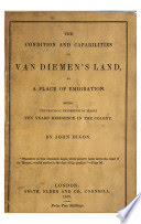
John Dixon, in his 1839 book (available as an E-book) “The Condition and Capabilities of Van Diemen’s Land, as a Place of Emigration: Being the Practical Experience of Nearly Ten Year’s Residence in the Colony“, explained, ‘Lingering illness is seldom heard of in Van Diemen’s Land: and, in consequence, the deaths always seem to be sudden.  These seeming sudden deaths may contribute to praise of the climate: for they may improve its salutary influence, by sustaining the body in health longer there, than in the climate of another country.

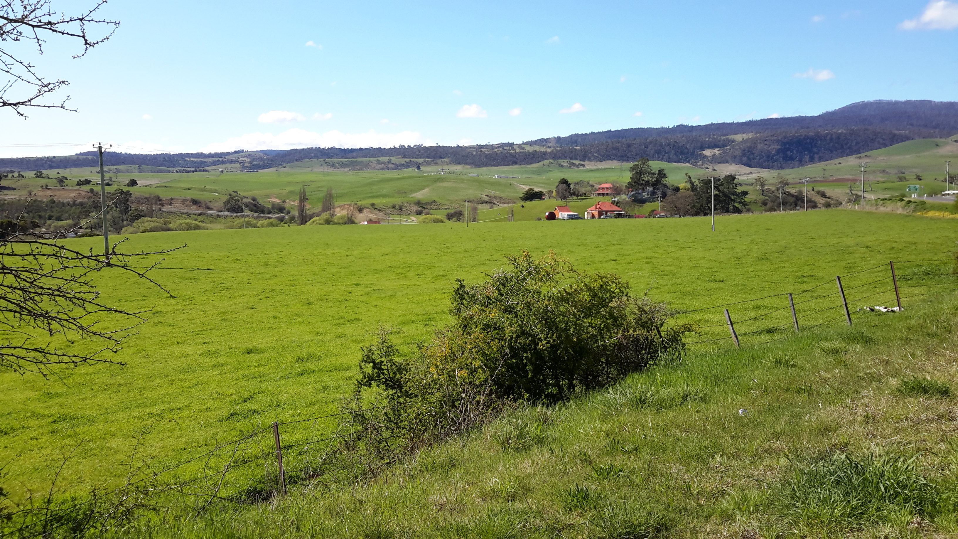
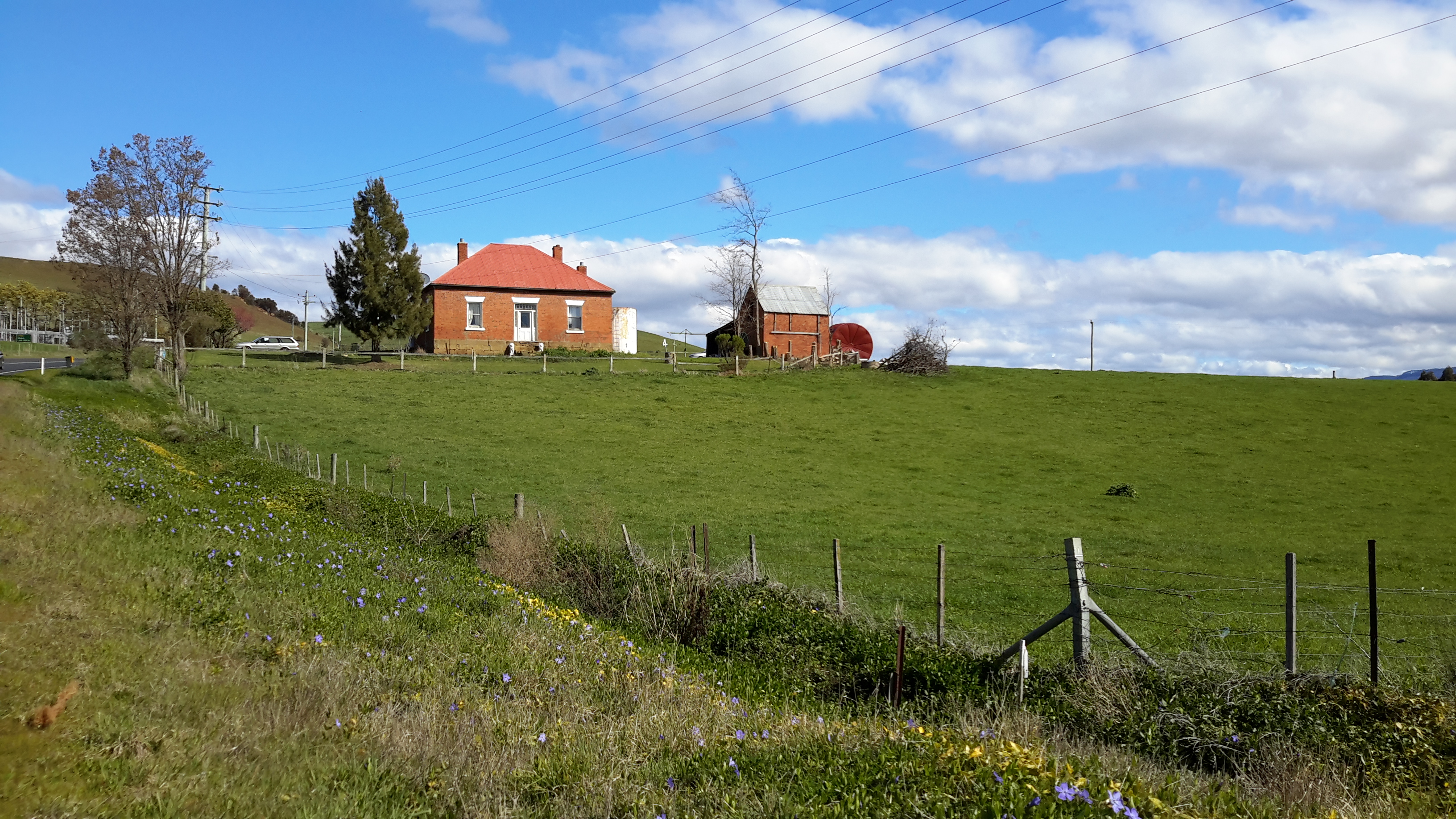
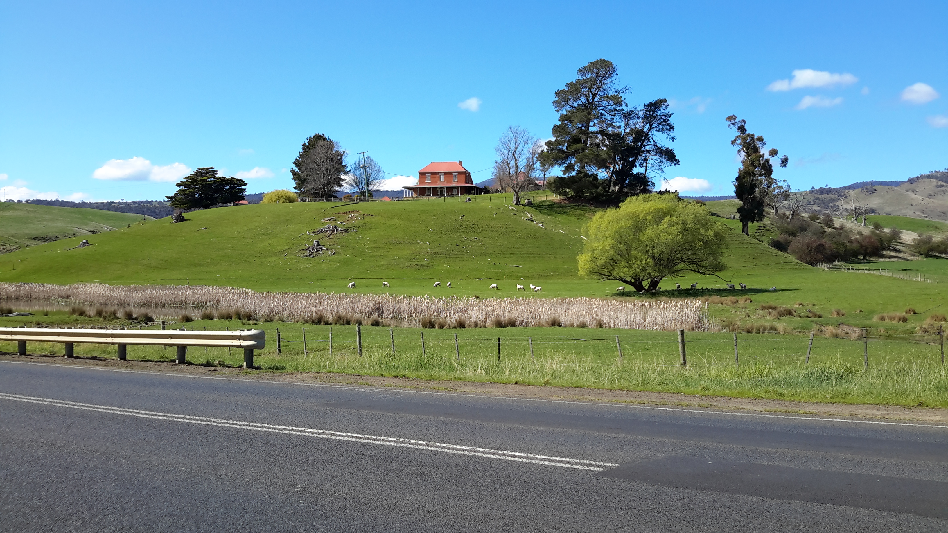
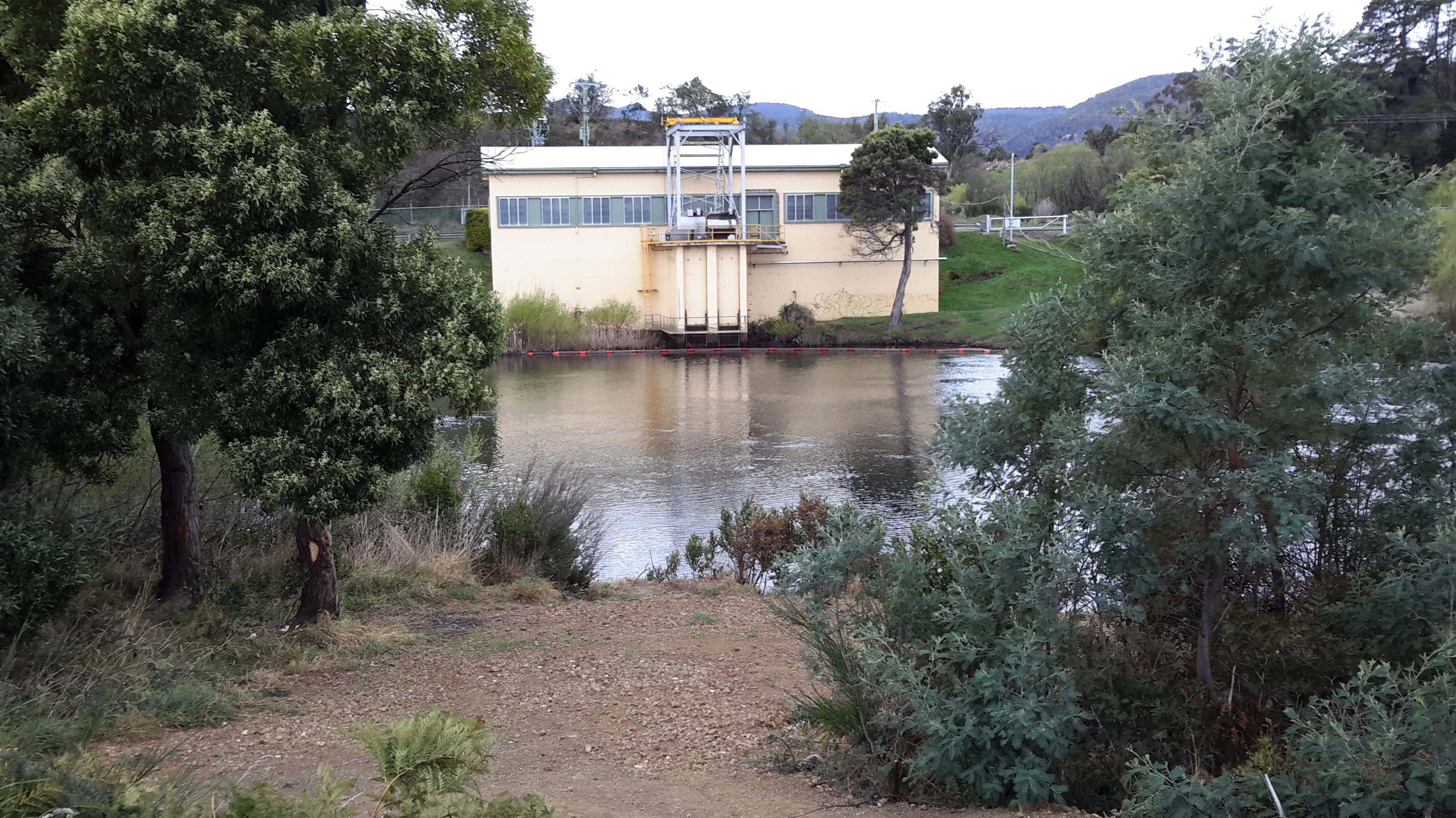
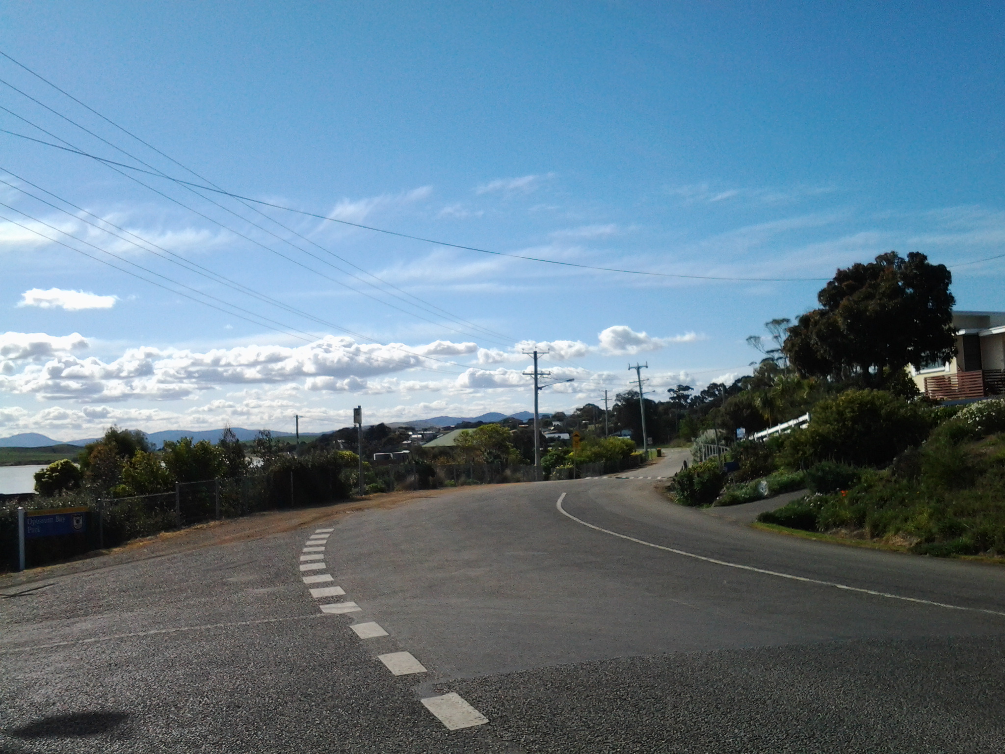
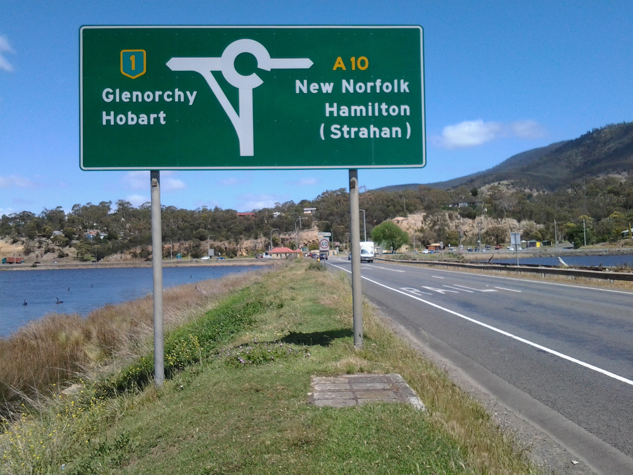
These days we would describe our climate as being cool temperate with four distinct seasons. However, across the island, our temperature and rainfall ratings vary according to topography, nearness to the coast and time of the year.  Despite Tasmania’s capital city Hobart being the Australian capital city located closest to South Pole, it is known as the nation’s driest capital city.  By contrast, parts of the west coast of Tasmania expects rain for more than 300 days each year – I lived in Queenstown once and it rained for three weeks straight leaving me feeling very sun deprived.

Helpful tip

When you visit Tasmania for the first time, you will find any and everyone will be happy to talk with you about the weather – for many minutes at a time.  Such conversations may help you to make new friends.  However, please avoid some pitfalls. If you normally live in a super cold climate it may not be appropriate to say our weather is so mild and lovely here, when powder snow tops our mountains in the distance and light drizzle saturates the ground – because we may not think highly of the weather under those circumstances.  Similarly if you come from a very hot climate it may not be appropriate to say the weather is so gorgeously moderate here when we have a 35 Celsius degree day, because it is likely we will consider that to be a hot day. I guess we all have our peculiarities.

A story of a walk in 19th century Tasmania

In the late 1980s, Hilary Webster compiled a book of short stories written by people who travelled around Tasmania by foot and by horse and carriage in the nineteenth century; The Tasmanian Traveller A Nineteenth Century Companion For Modern Travellers.   Thanks to blog follower Ma, I was alerted to this publication.

The Tasmanian Traveller

These stories helped me to understand the difficulty of travel in early colonial Tasmania when roads were not always developed. Some stories surprised me so that I feel inspired to visit Tasmania’s State Archives in order to discover more.

A standout was the story of a walk from ‘Trial Harbour to the Ouse” because the journey relates to some of the area over which I may walk later this year when I restart my walk along the Derwent River.

Trial Harbour is an isolated tiny community on the west coast north of Queenstown where, these days, the few shacks are built with the strangest chimneys to cope with the weight of the westerly winds which blow fiercely from across the Indian Ocean. The Ouse refers to a small town, then hamlet, somewhat south of the centre of Tasmania and situated most remotely from civilisation.  Back then, it took a day’s coach and train ride to reach Hobart. These areas and the land between is an exceptionally rugged environment today and I have difficulty imagining the situation in the 19th century when the walk in the story was taken.

The subtitle of the 1890s story was ’A Lady’s Walking Tour on the West Coast’. A woman (no name) walked with her husband and a dog through ‘untamed’ wilderness, along mining and forestry tracks and the occasional muddy rutted roads.  They climbed mountains, crossed button grass plains and walked through valleys.  She recorded “More than once we were asked our business, the notion of travelling on foot for pleasure in these regions appeared preposterous.” I would say such a walk is extraordinary in this day and age, and totally amazing 125 years ago.  Innovative means were taken to cross rivers. Overnight accommodation was found in out of the way tiny remote mining shops, shacks, huts and the occasional Inn. Telegraph wires were often their only guide for a way forward. Through the rugged wilderness, routinely they walked 17 or more miles (27+kilometres) each day and on one day they walked 33 miles (53 kilometres). I am staggered.  I know the challenging environment in which they walked.  The mountains are many and very steep with ravine and river gullies that are cut into the rock deeply.

Her pack of provisions weighed 7 pounds while her husband carried 21 pounds.  This makes me wonder if contemporary bushwalkers aren’t tough enough – or are we trying to be prepared for every eventuality. The good will of people they met and the willingness of others to share their meagre food supplies, and help with sleeping arrangements, was perhaps something that could be taken for granted in 19th century Tasmania. Generous hospitality as a given.  ‘We got some bread here, and at a house a mile further on the track, some milk, the first fresh milk we had tasted since Waratah.’  This comment indicates she was walking across Tasmania before Trial Harbour – the significant mining town of Waratah is quite a distance north east of Trial Harbour.  So I suspect there may be earlier stories of her walking across other parts of Tasmania – I look forward to conducting research to find records of these.

1400km walk around Tasmania concluded yesterday: congratulations Chris Linton

A few weeks ago I read that a Tasmanian father and son (Chris and Kelvyn Linton) were planning an unsupported long-distance charity walk around the perimeter of Tasmania. This huge ambition filled me with excitement, and I hoped they would be able to achieve their goal.

While his son walked 20 of the 46 days it took for the walk, Chris Linton battled around every metre of the coast line.  Chris is reported as saying ‘Out of Queenstown, that hill is unforgiveable. The weather through that mountain pass was quite extreme – lots of snow and constant rain for two weeks.’ Refer to http://www.themercury.com.au/news/tasmania/epic-blues-beater-puts-dad-on-the-map/story-fnj4f7k1-1227357590621 for the arrival story, at Salamanca on the edge of the Derwent River.

I believe his walk is a significant achievement in one of the most challenging environments in the world. I am in awe of what has been done, and even more so because much of the walk was undertaken during one of Tasmania’s most bitterly cold and stormy periods.

More information about this trek, to raise funds for the Black Dog Institute, can be read at http://www.blackdoginstitute.org.au/docs/TasmanianresidentsChristopherandKelvynLinton.pdf

You can read more about an earlier stage of the walk at: http://www.themercury.com.au/news/tasmania/chris-linton-nears-end-of-walk-around-tasmanias-perimeter/story-fnj4f7k1-1227351866303

As a war veteran suffering from post-traumatic stress disorder, I hope the soothing effect of Tasmania’s wilderness environment and the flood of positive endorphins encouraged by the continuous activity, have been healing forces for Chris. An amazing personal achievement! Congratulations Chris Linton!

The Derwent River and its Highways

The south of Tasmania is crossed by trunk roads, regional freight roads and regional access roads, including six of the highways for walking on when walking from the mouth of the Derwent River to the source.

  1. The South Arm Highway which extends from Opossum Bay to where the suburb of Mornington reaches the Tasman Highway. I bussed and/or walked on the South Arm highway during Stages 1-3.

20140822_130241 20140904_133309

2.   On the eastern shore of the Derwent from Geilston Bay to Bridgewater Bridge it was the East Derwent Highway which felt the plod of my feet occasionally during stages 5 -8 of my walk.

20141031_093816 20141031_101844 20141031_122945 20141031_111951 20141031_121153 20141111_105455

3.    Once I reached Bridgewater on Stage 9, the highway crossing the Bridge was the Midland or Midlands Highway (sometimes referred to as the Heritage Highway).

20141111_131431 20141111_132913

4.     Some of Stage 12 of my walk on the western shore towards the mouth of the Derwent River, included a couple of kilometres on the Channel Highway.

20150202_095550

5.   At the start of Stage 14 I will walk on the last few metres of the Brooker Highway, the main highway which extends from the centre of Hobart city to the Bridgewater Bridge at Granton. For the first time, at the Bridgewater Bridge, this Highway edges the Derwent River.

6.    Immediately after the highway intersection with the Bridge, the Lyell Highway commences. From Granton until I reach the source, the Derwent River winds closest to the Lyell Highway, the highway which extends west to the town of Queenstown (which is overshadowed by the copper bearing Mount Lyell). This highway will be my life line in terms of accessing public buses.