Tag Archives: Moomairremener

Shag Bay industrial history


In earlier posts I directed your attention to the online magazine Tasmanian Geographic .  The latest issue contains a well-researched and lengthy article, ‘Early Recycling at Shag Bay’, on the early industrial history of late 19th and early 20th century of Shag Bay.  Thanks to authors, John and Maria Grist, I now understand more about what I saw as I walked past the detritus scattered around this Bay. I strongly recommend accessing their article for its historical photographs and the fascinating content. Thanks John and Maria – much appreciated.

My long term blog followers may recall the name of Shag Bay but unless you know this part of the Derwent River, its location will remain a puzzle.  Shag Bay is a small inlet on the eastern shore between Geilston Bay and Risdon, and is mostly easily accessible on a dirt track from the Geilston suburb end. My posts from walking around Shag Bay include:  From Geilston Bay to Risdon on Stage 6 of my walk along the Derwent River yesterday ; Reaching Shag Bay as I walked along the Derwent RiverThe Shag Bay and Bedlam Walls area covers much loved and used aboriginal land of the Moomairremener people ; and Along the northern side of Shag Bay and onwards along the Derwent River.

To help you to remember Shag Bay, here are a few photos I took way back very early in my trek from the mouth the source of the Derwent River.

20141015_103803.jpg

20141015_105602.jpg 20141015_110028.jpg


Kunanyi

Mount Wellington was a prominent feature in the lives of the Moomairremener people for thousands of years before white settlement of Van Diemens Land, later to be renamed Tasmania.  The indigenous names include Kunanyi, Unghbanyahletta and Poorawetter. I understand that the Palawa (which seems to be a collective term for all Tasmanian aborigines – perhaps a blog reader might be able to supply further information?) who are the surviving descendants of the original indigenous Tasmanians, tend to prefer the former name – Kunanyi.

A couple of years ago, the Tasmanian government introduced a dual naming approach to a number of geographical features around Tasmania, and these included the mountain which towers over the Greater Hobart Area and the Derwent River. The then Premier Lara Giddings remarked ‘Dual naming is about recognising the Aboriginal community’s rightful status as the first inhabitants of this land and celebrating their living culture, traditions and language’.

20140926_123103

Photo taken from Bellerive Bluff on Stage 4 of my walk along the Derwent River.

20141010_103145

Photo taken between Rose Bay and Lindisfarne on Stage 5 of my walk.

20141031_132509

Photo taken from Old Beach on Stage 7 of my walk.

20141111_104035

Photo taken from Green Point on Stage 8 of my walk.

I am including a posting specifically about ‘the mountain’ as locals refer to it, because it has been a significant marker on my trek from the mouth to the mouth of the Derwent River via the Bridgewater Bridge, and I am about to lose sight of it.  From Granton, as I walk west along the River and then northwards, the mountain will no longer be in view.

Current official information about walking tracks, facilities, weather related precautions and other details associated with the mountain can be read at http://www.wellingtonpark.org.au/  Note that you can download maps from this site.

Acknowledgement of Country – to the Paredarerme people

The first people to live along the Derwent River were the Paredarerme people otherwise known as the Oyster Bay tribe. The Moomairremener people, whose land I have been walking on from South Arm to Old Beach, were one band of the Paredarerme people. I cannot find the specific name of the Paredarerme people along the Herdsmans Cove and Bridgewater area where I will walk tomorrow, although the Moomairremener people did move up and down the Derwent River.

I will be walking on the land of the Paredarerme people as I continue my walk along the eastern side of the Derwent River.  Therefore,

“I acknowledge and pay respect to the Tasmanian Aboriginal community as the traditional and original owners and continuing custodians of this land.”


Aboriginal and European cultures clash at Risdon Cove

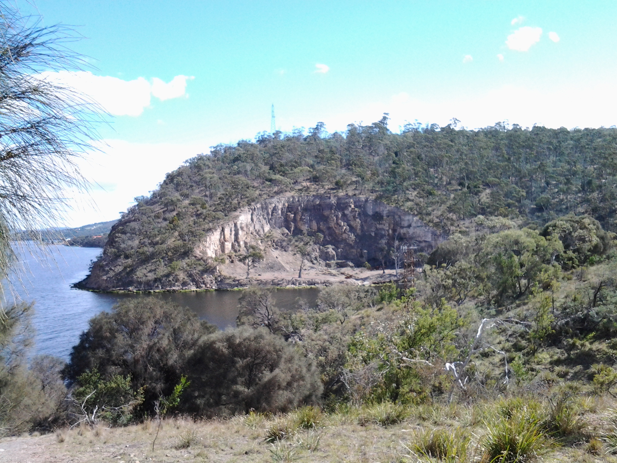
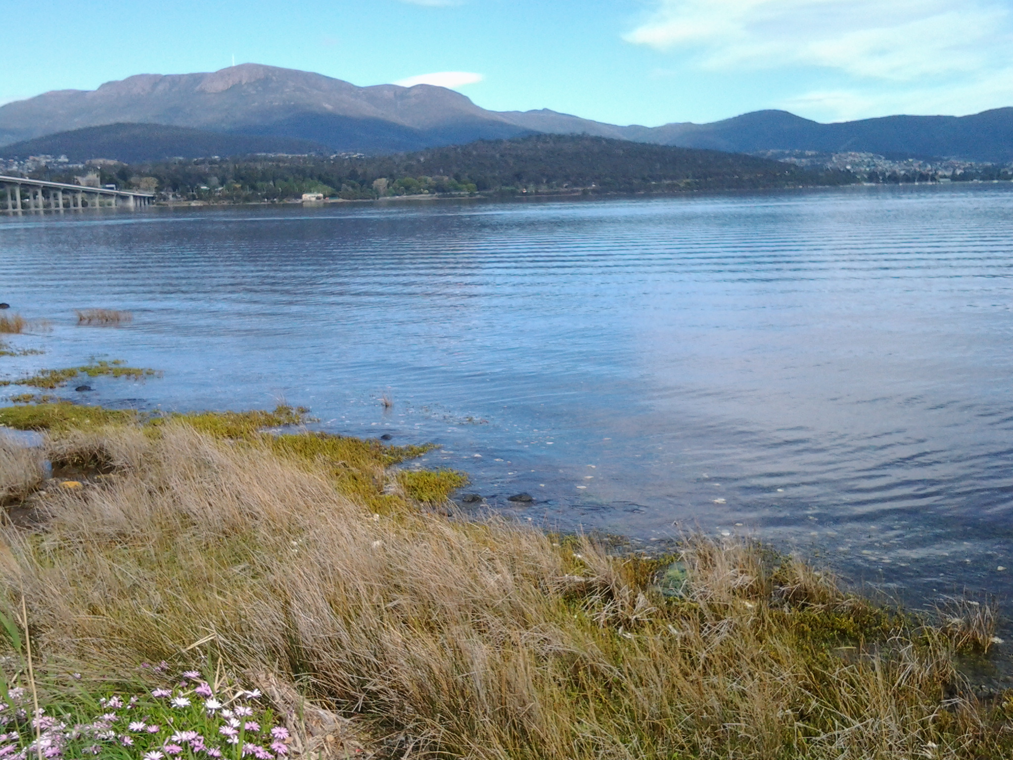
1804 was a memorable year for Van Diemen’s Land (later to be renamed Tasmania). Historical records show that in May 1804 a significant and deadly clash occurred between the European new settlers and the peoples of the local Moomairremener aboriginal tribes.

I have been trying to picture the circumstances which might have caused fighting to break out.

Starting with the European settlers

From January 1804 onwards, Bowen sailed to Sydney from Risdon Cove and back again before making a final departure from Van Diemen’s Land in August. It is not clear how many people remained at Risdon Cove while he was away. During the months from February to May, the two officers were confused in relation to who was in charge. It wasn’t until 8 May 1804 that Bowen officially handed control over to Collins.

Another problem is that personality conflicts existed between Bowen’s free settlers, and that there were difficulties working with the few members of the military which accompanied this initial settlement. The contributing factors to the uneasiness between people are easy enough to guess: an environment that is physically unusual and unknown to the new settlers, unpredictable weather conditions, inadequate food and water, no services or shelter buildings available and everything needing to be built, the hard labour required to eat and live each day, the fact that half the number were convicts and not free to do as they please, the fact the other half had to manage and feed those convicts.  In a small community of 49 people, should one person not like another, there would be no escape, and it is easy to imagine in these harsh pioneering days irritability could burst. Even minor civic scuffles would be unsettling for such a community.

In relation to the Moomairremener indigenous peoples

Their land entitlements and living practices had been established for thousands of years. Therefore, the incursion of the European strangers would have started as a puzzling surprise and then proceeded to become a despairing resentment as their land was taken over and their food sources mismanaged. The food stores brought by Bowen’s and Collins’ ships were often unusable leading the new settlers to kill kangaroo and other game for survival. Their means for obtaining such additional food supplies included using firearms. Not only were these weapons unfamiliar to the Moomairremener peoples, they were stronger and more efficiently deadly than the weapons which the aboriginal tribes owned. Without a common language nor shared cultural beliefs, the failure of the aboriginal and Europeans to communicate clearly with each other, set a path towards localised warfare.

According to Wikipedia, on the 3rd May 1804 “a large group of Abo­rigines blundered into the British settlement. The sol­diers mistakenly thought they were under attack and killed some of the intruders. About 300 aboriginals, men, women and children who had banded together, approached the Risdon Cove settlement whilst occupied on a kangaroo hunt during a seasonal migration. The Aborigines had arrived at the settlement and some were justifiably upset by the presence of the colonists. There had been no widespread aggression, but if their displeasure spread and escalated, Lieutenant Moore, the commanding officer at the time, and his dozen or so soldiers, could not be expected to be able to protect the settlement from a mob of such size. The soldiers were therefore ordered to fire a carronade (a small cannon used for firing salutes at the settlement) in an attempt to disperse the aboriginals; it is not known if this was a blank round, although some allege grape shot was used to explain an alleged but uncorroborated high figure of deaths.

In addition, two soldiers fired muskets in protection of a Risdon Cove settler being beaten on his farm by aboriginals carrying waddies (clubs). These soldiers killed one aboriginal outright, and mortally wounded another, who was later found dead in a valley. Lieutenant Moore’s account lists three killed and some wounded. It is therefore known that in the conflict, some aboriginals were killed, and that the colonists ‘had reason to suppose more were wounded, as one was seen to be taken away bleeding’. ‘There were a great many of the Natives slaughtered and wounded’ according to the Edward White, an Irish convict who later spoke before a committee of inquiry nearly 30 years later in 1830, but could not give exact figures. White alleged to have been an eyewitness, although he was working in a creek bed where the escarpment prevented him from viewing events, claiming to be the first to see the approaching aboriginals, and also said that ‘the natives did not threaten me; I was not afraid of them; (they) did not attack the soldiers; they would not have molested them; they had no spears with them; only waddies’, though that they had no spears with them is questionable, and his claims need to be assessed with caution. His contemporaries had believed the approach to be a potential attack by a group of aboriginals that greatly outnumbered the colonists in the area, and spoke of ‘an attack the natives made’, their ‘hostile appearance’, and ‘that their design was to attack us’.” Neither  Bowen or Collins were present at the time of this attack.

Ahhh. The sadness caused by misunderstandings, ignorance, fear and lack of leadership!

Another informative site is http://members.iinet.net.au/~rwatson1/bowen/risdon_cove.htm which includes  20th and 21st century history of Risdon Cove.

The Shag Bay and Bedlam Walls area covers much loved and used aboriginal land of the Moomairremener people

Various websites have indicated that the tract of land between Geilston Bay and Risdon Cove contains a great deal of evidence of land and river use by the original land owners.

Previously I acknowledged the traditional owners of the land along the Derwent River that I have been walking across. This land, before European settlement, belonged to the Moomairremener people however the early international settlers failed to understand that the local inhabitants had established government practices and legal systems, and worked with the land and sea to ensure an ongoing food supply. Unfortunately the characteristics which made the indigenous people civilised were different to those characteristics which made the settlers civilised. Because of their major cultural differences, both groups of people couldn’t grasp the positive values of each other. Each failed to learn from the other so that neither came to an understanding that the difference between them did not make one group better or worse.  As the new settlers encroached on aboriginal land and hunting grounds without understanding the value and significance of what they were doing and attacked aboriginal people, inevitably the Moomairremener people attacked in return.

Bedlam Walls Point’s aboriginal cave, middens and quarry were the main features of aboriginal occupation that I expected to access during my walk. Regrettably I did not find the cave or the middens but I did see, at a distance, the quarry.  Another walk is needed to take more time to access these additional sites.

All the above are in easy walking distance of the site (Risdon Cove) at which, according to one story, an Aboriginal band hunting kangaroos was mistaken by whites for attackers and massacred (http://fieldnotestasmania.blogspot.com.au/2009/11/bedlam-walls-walk.html). According to http://www.australianhistorymysteries.info/pdfs/StudiesAHM-1.pdf “On 3 May 1804 there was a violent clash between a group of British settlers and a large party of Aboriginal people at Risdon Cove, near Hobart in Tasmania (then known as Van Diemen’s Land). Different writers and historians have given varying accounts of what happened then.”  In my view, neither option expressed on this website does any credit to the early settlers.

I cannot help thinking about the ongoing contemporary parallels where governments provoke fear by urging our populations to be vigilant against others who dress or look different. I cannot see this is a helpful way to learn to understand the benefits that different people can bring to all our lives.

Acknowledgement of Country – to the Moomairremener people

I will be walking on the land of the Moomairremener people as I walk along the eastern side of the Derwent River.  Therefore, 

“I acknowledge and pay respect to the Tasmanian Aboriginal community as the traditional and original owners and continuing custodians of this land.”

The first people to live in Clarence were the Moomairremener, a band of the Oyster Bay tribe. Their home was all of present-day Clarence as well as Pittwater. In summer the Moomairremener went up the Derwent to the New Norfolk area to hunt, while the people there came down to the coast. In autumn they returned to the coast. Europeans later recorded some Aboriginal place names: More.der.tine.ner and Reemere were South Arm, Trum.mer.ner pine.ne was Droughty Point, Nannyeleebata was Rokeby, Mole.he.ac Kangaroo Bluff, Lore.by.larner was Betsey Island, and Ray.ghe.py.er.ren.ne was one name for the Derwent River. The Moomairremener people continued their usual life in Clarence until 1803. (http://www.ccc.tas.gov.au/webdata/resources/files/FINALClarence_01_to_1805.pdf)