Tag Archives: Berriedale

Arriving in Granton for Stage 14 of the walk along the Derwent River

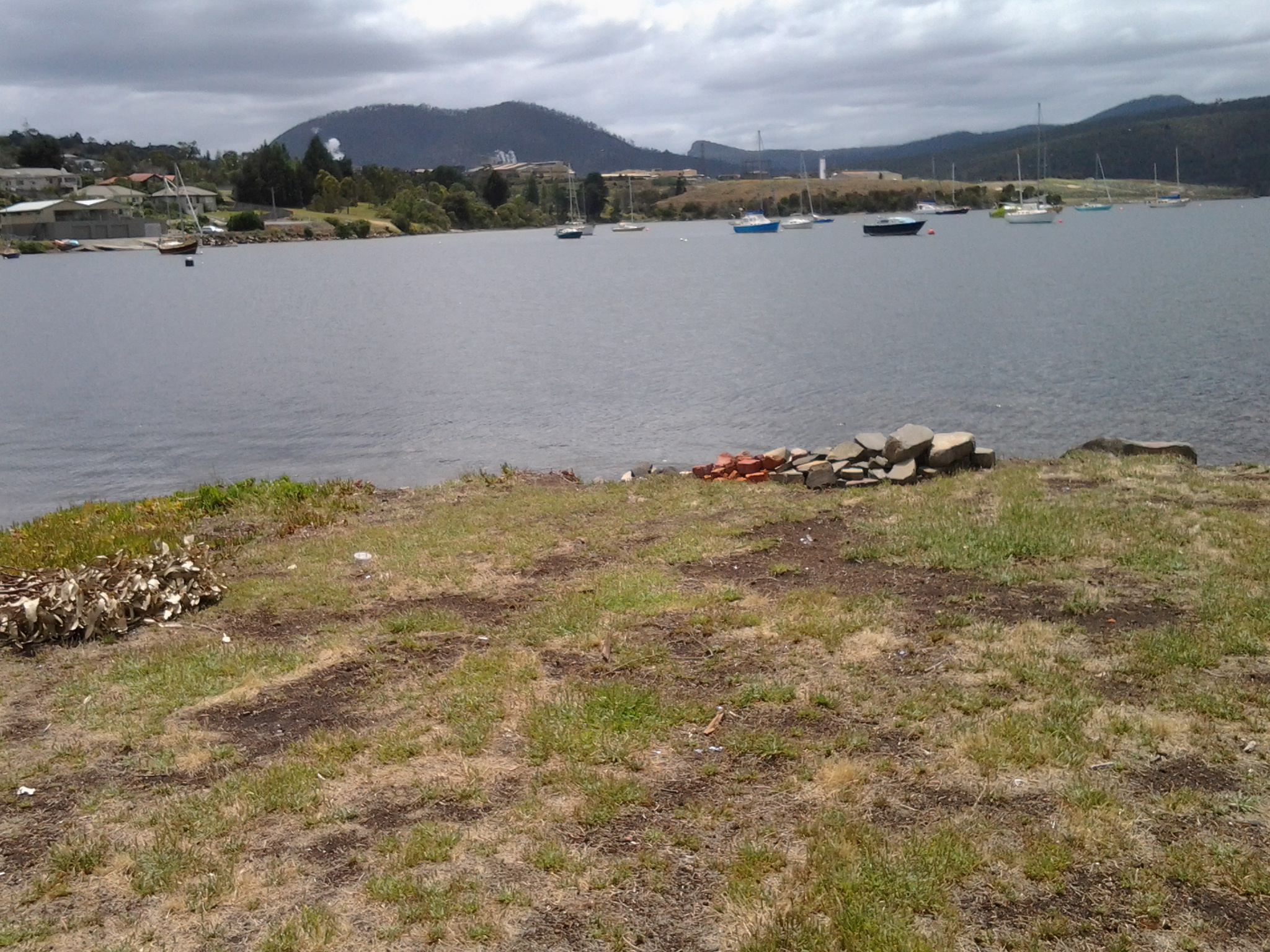
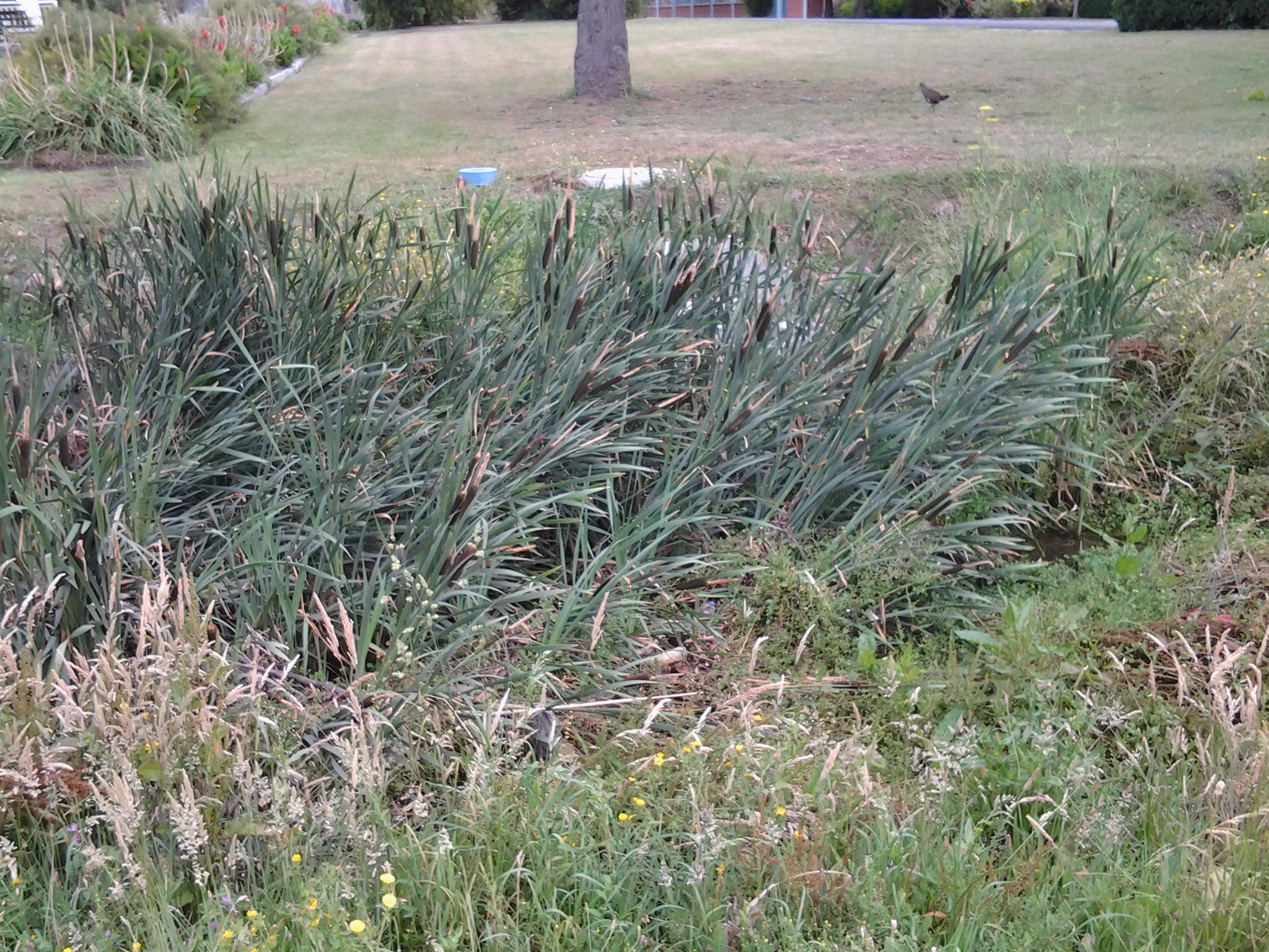
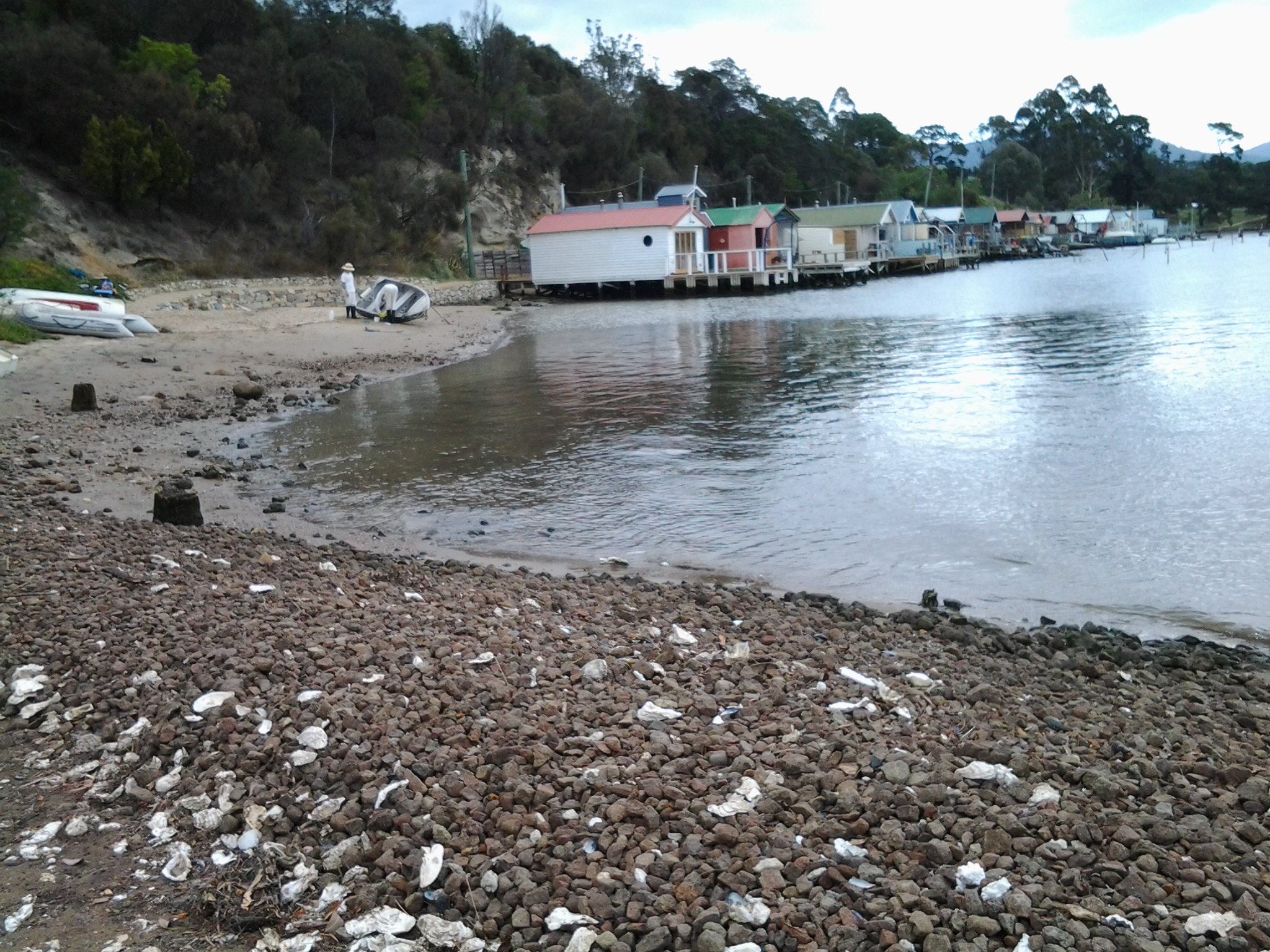
Since walking along the Derwent River in the northern suburbs on the western shore earlier this year, I have revisited MONA at Berriedale on a number of occasions but I have not been further north. So it was a great delight when my X1 Metro bus, which departed from Hobart city at 7.17am, used the old main road after the Glenorchy bus mall to travel through Berriedale, Claremont and Austins Ferry before reaching Granton.  I was able to see the acres of majestic gold and red leafed vines of Moorilla Wines, to observe Cadbury’s chocolate factory puffing plumes of white steam into the crisp blue sky morning, to identify a range of native birds that were using Goulds Lagoon as a safe resting place, and to recognise various bays and other features that I had passed previously.  Everything seemed edged with the early sunlight which glowed strongly through rain washed, impeccably clean air.

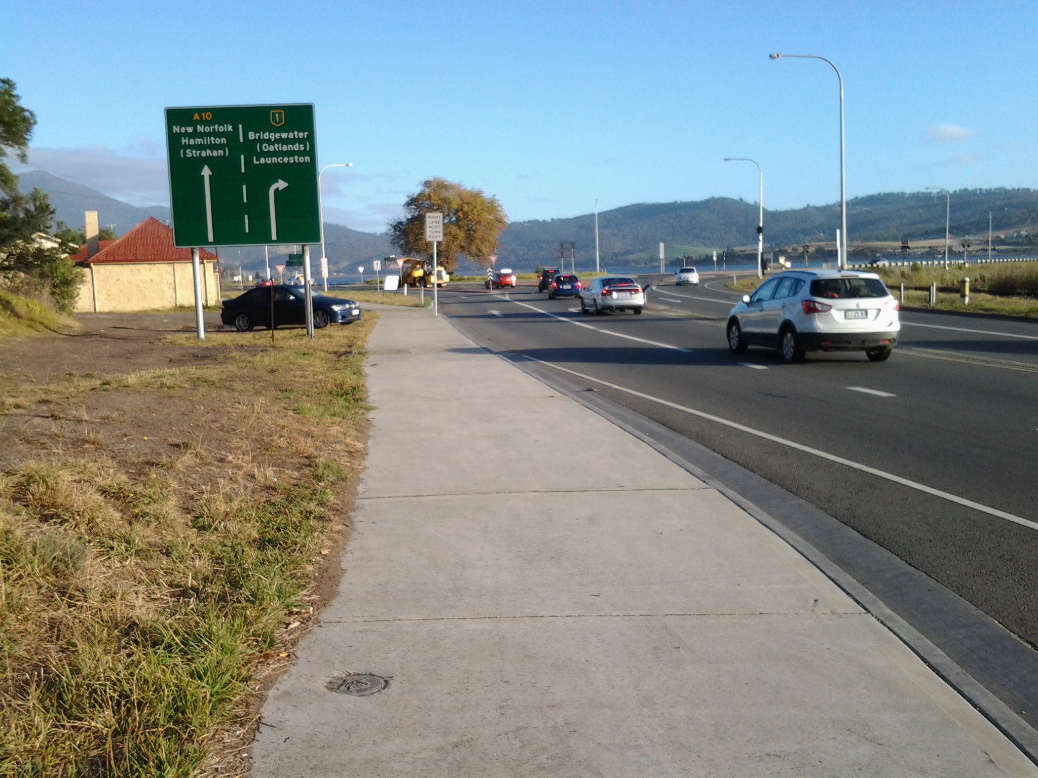
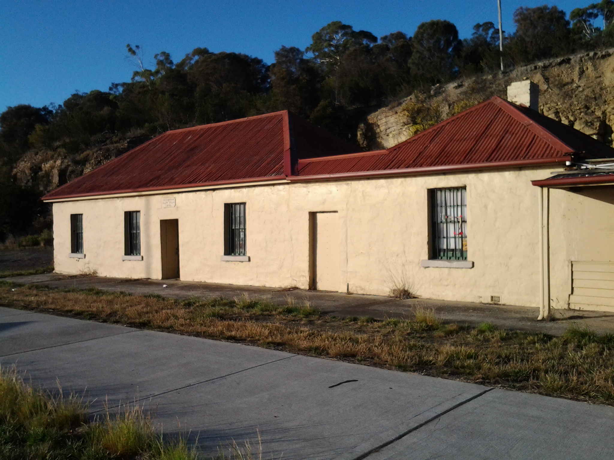
I was off the bus at stop 49 on the last of the Brooker Highway at 7.50am.  Looking northwards, the sign made it clear the direction to take was straight ahead. An earlier post introduced the history of the old Granton watch house (search Historic Granton, Tasmania) – that’s the low yellow building on the left in the first photo below, and then the second photo shows the sun-struck front of the building.

20150413_074858 20150413_075049

I was aware New Norfolk, over last weekend, had been celebrating the glories of its autumn foliage as indicated by the sign below. The sign served to increase my anticipation of those colourful delights.

20150413_075028

The unmemorable architecture of the Granton Memorial Hall solidly facing the morning sun, seemed very out of place in this beautiful area.

20150413_075136

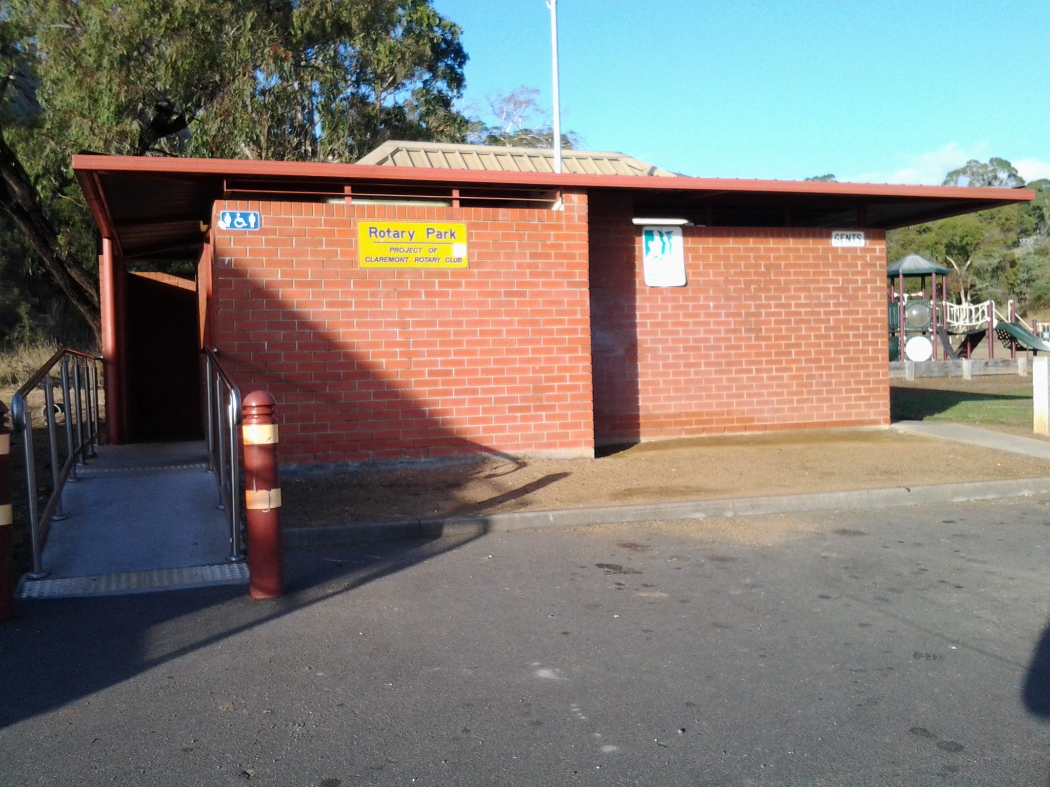
Equally solid and immediately serviceable was the public toilet block at the edge of the carpark used by many city bus commuters.

20150413_075231

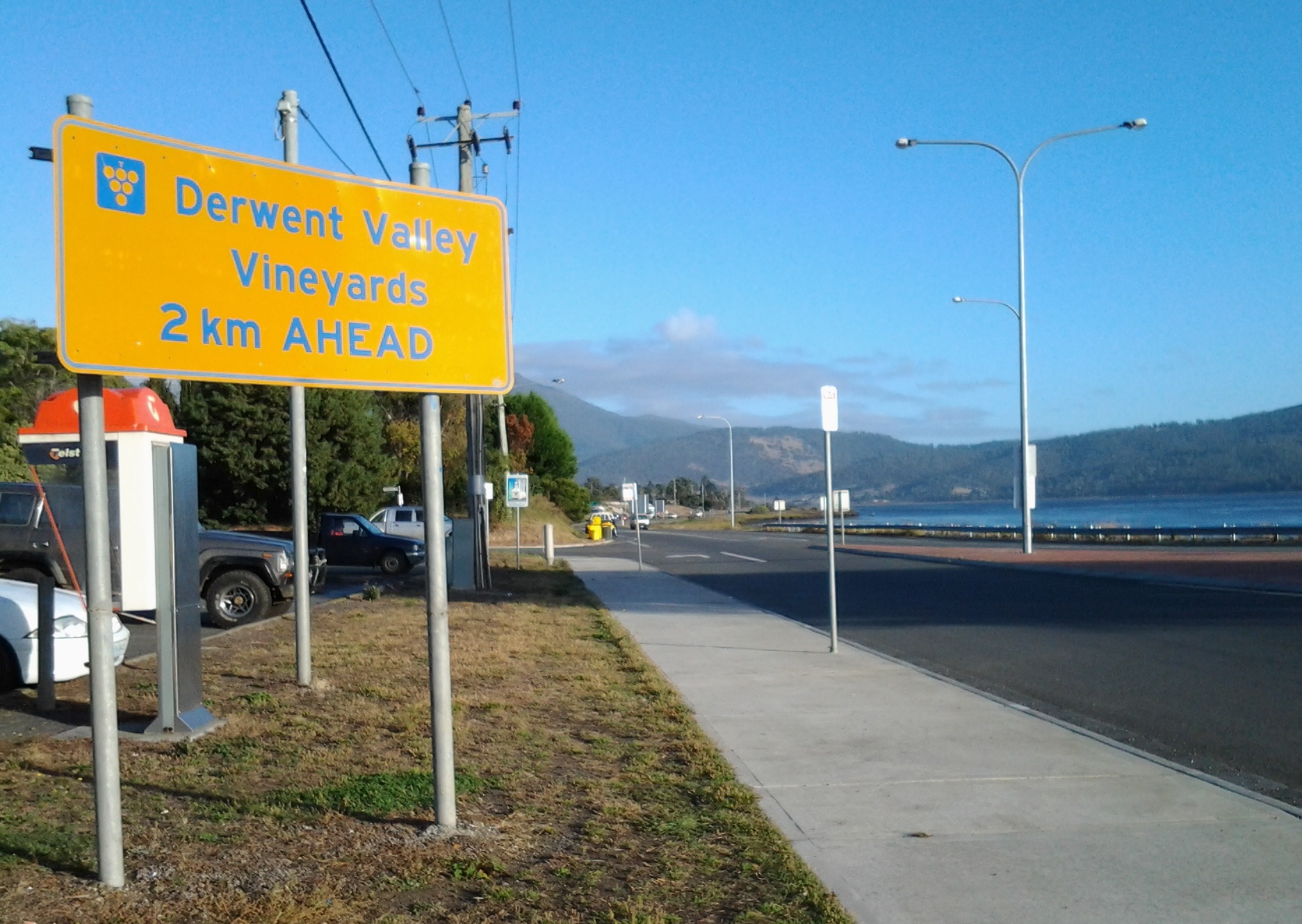
In front of the carpark a sign reminded me of the importance of grape growing in Tasmania – not the least because the wine from our vineyards is very drinkable (as agreed by wine judges from around the world).

Vineyards ahead

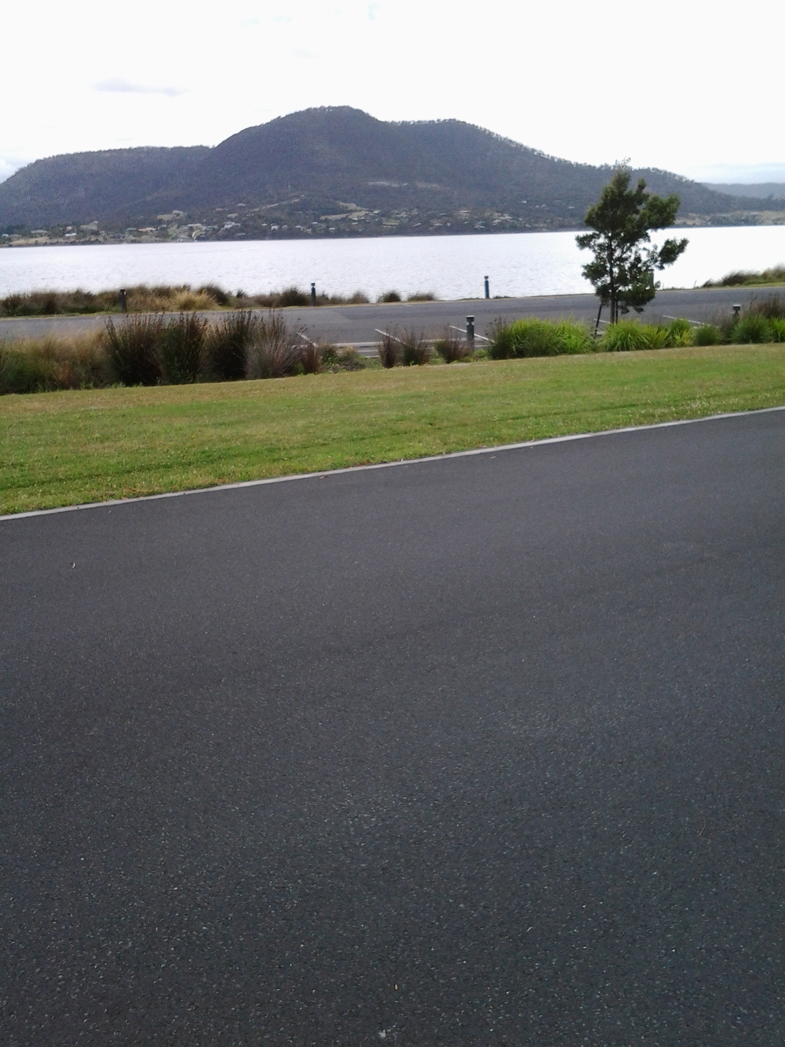
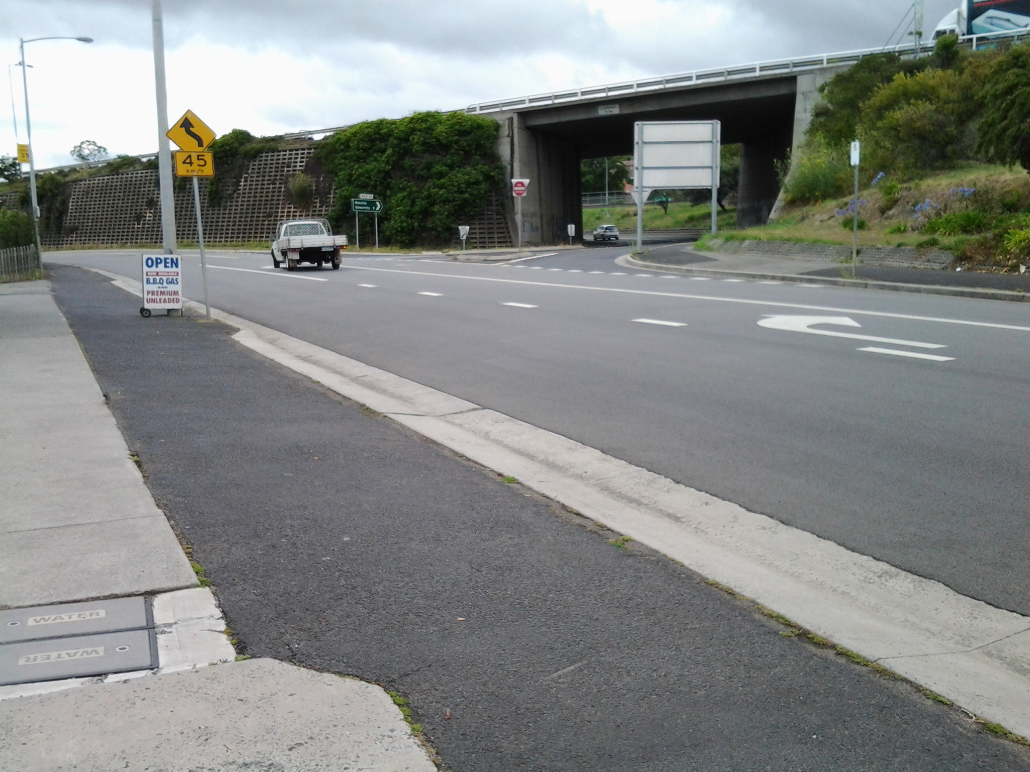
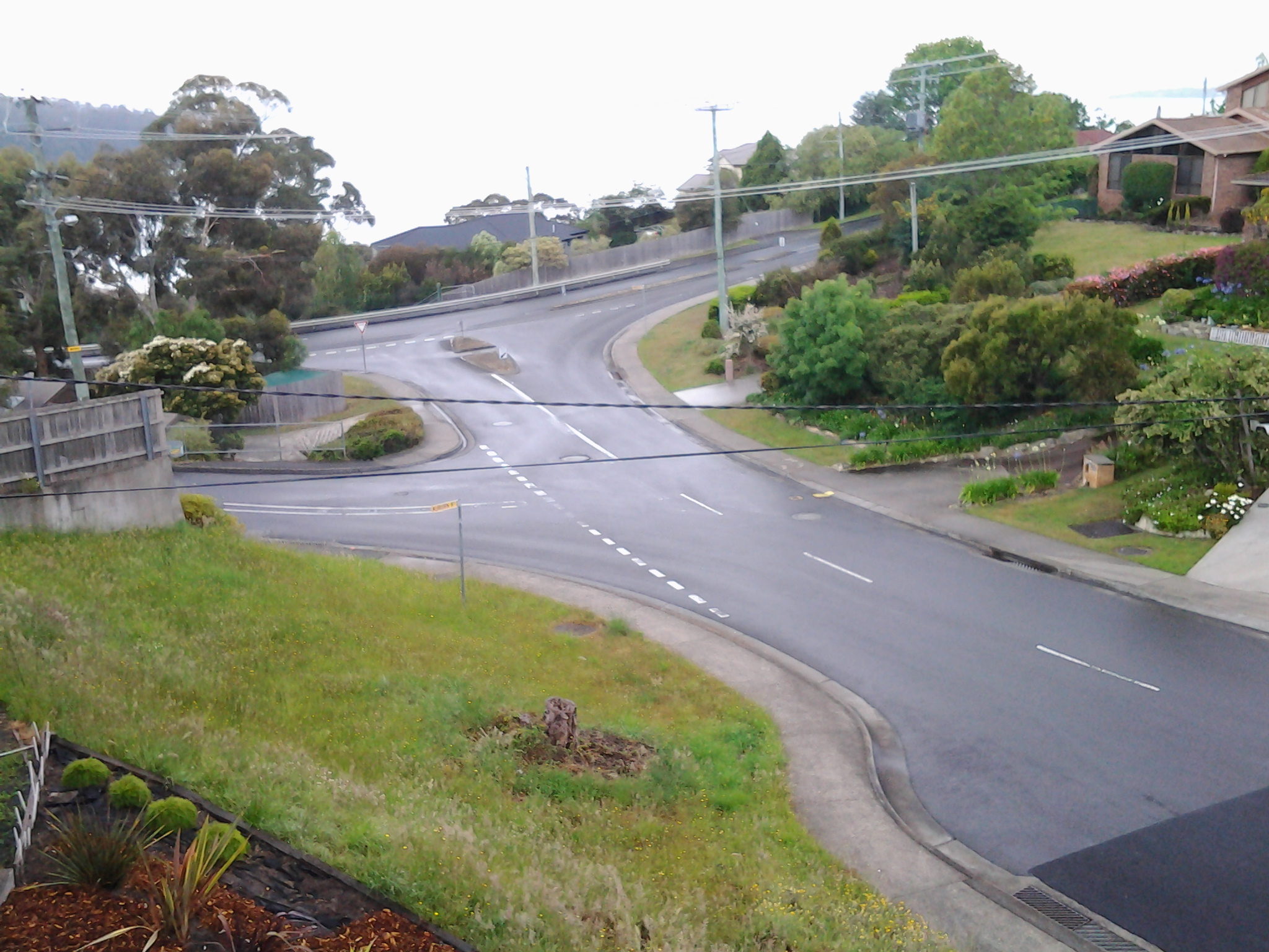
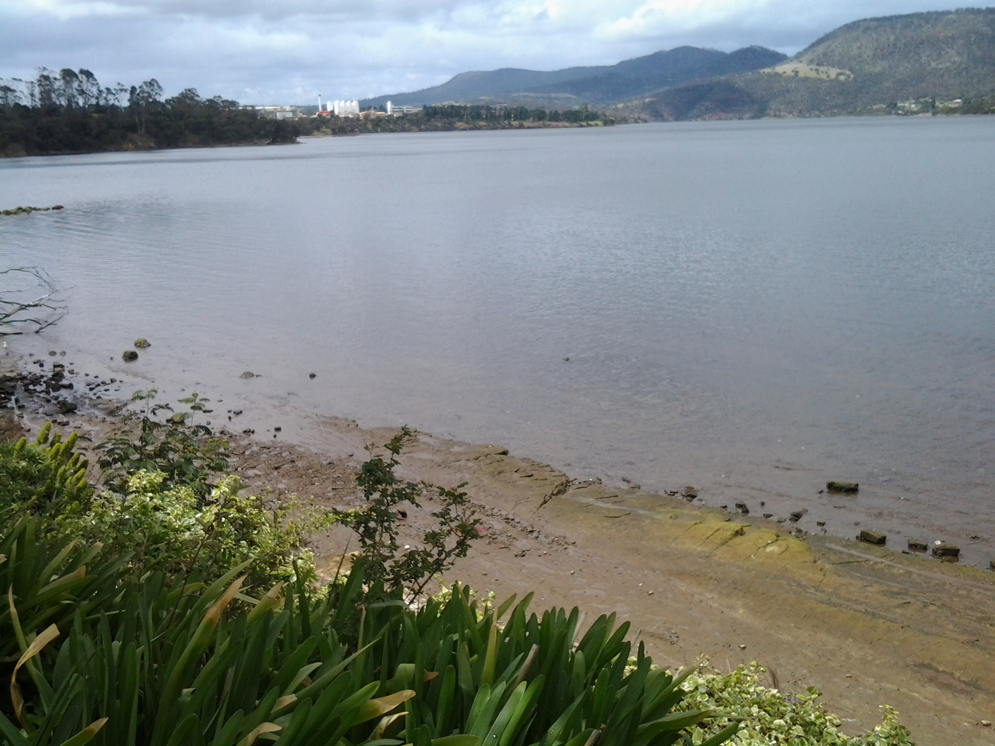
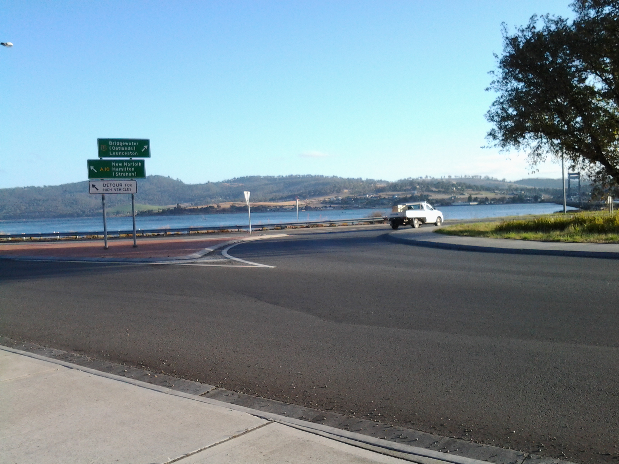
My eyes swung across to the roundabout for vehicles travelling north on the Midlands Highway to Launceston via many rural towns. In the distance, the vertical towers of the Bridgewater Bridge marked the Derwent River crossing.  The calmness of the day, and the quality of the light was sublime.

20150413_075150

I hadn’t walked far along the Lyell Highway when I saw the sign below which indicated that 16 kilometres further along the highway I would reach New Norfolk.  But could I trust the sign? Two or so kilometres further back, when I was still bussing on the Brooker Highway, I had seen a sign indicating the distance was 16 kilometres.

Leaving Granton

Not far away another roadside sign alerted motorists (and the occasional pedestrian): Welcome to The Rivers Run Touring Route.

The Rivers Run

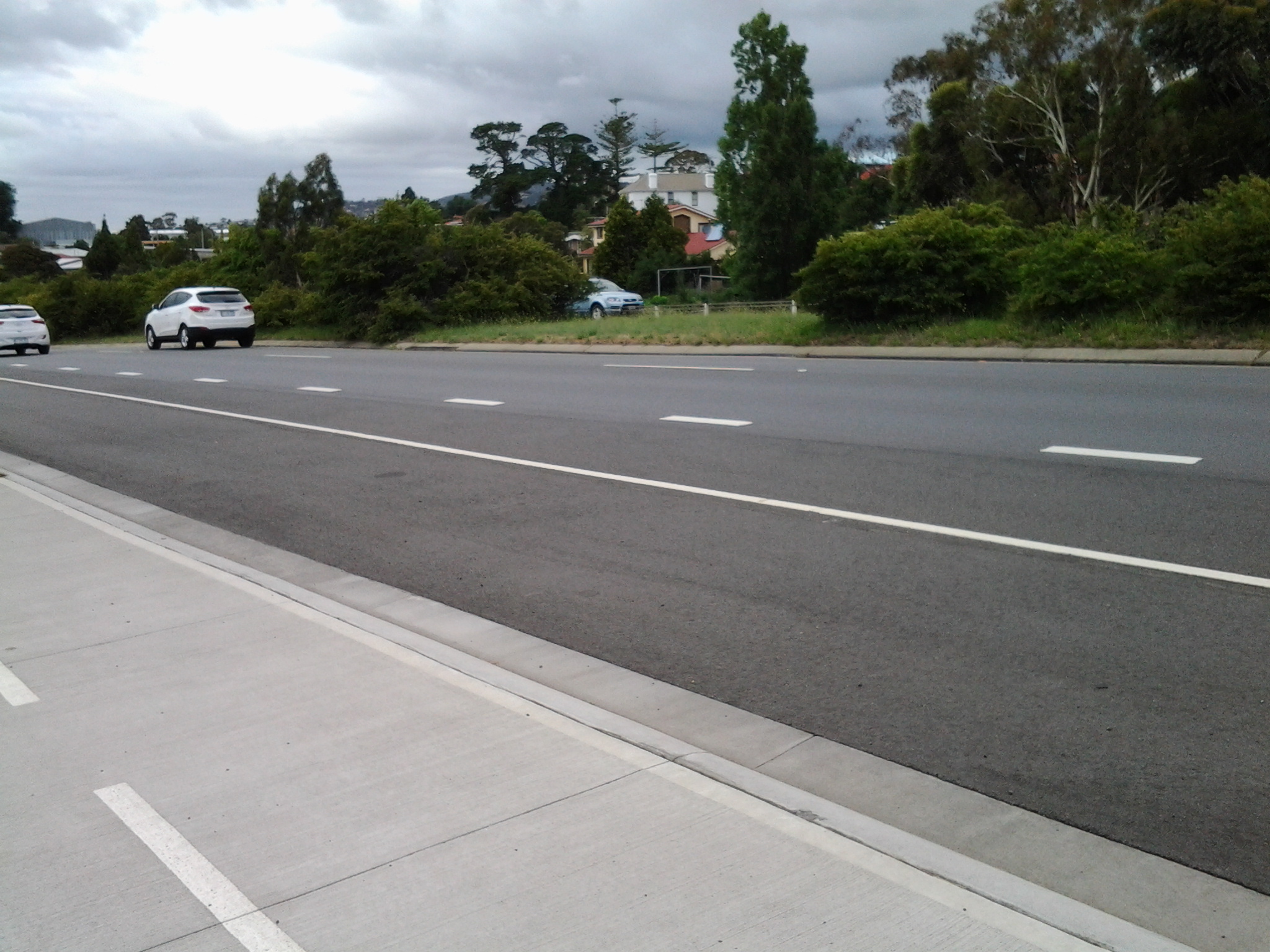
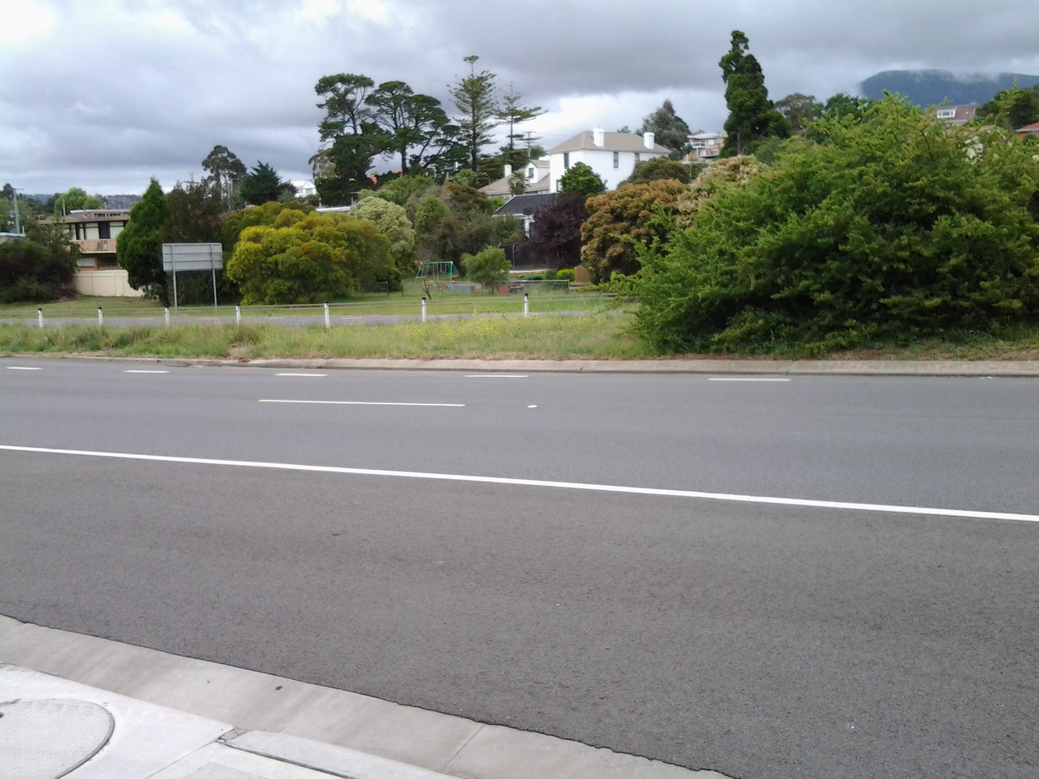
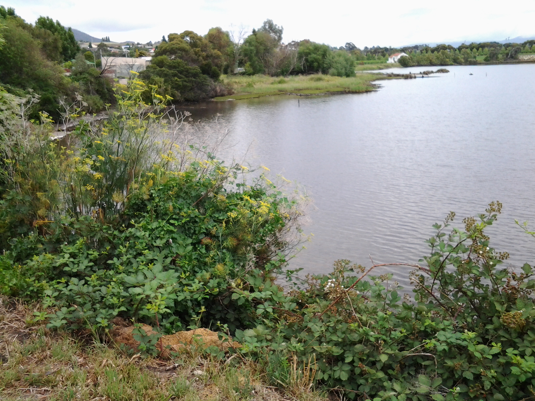
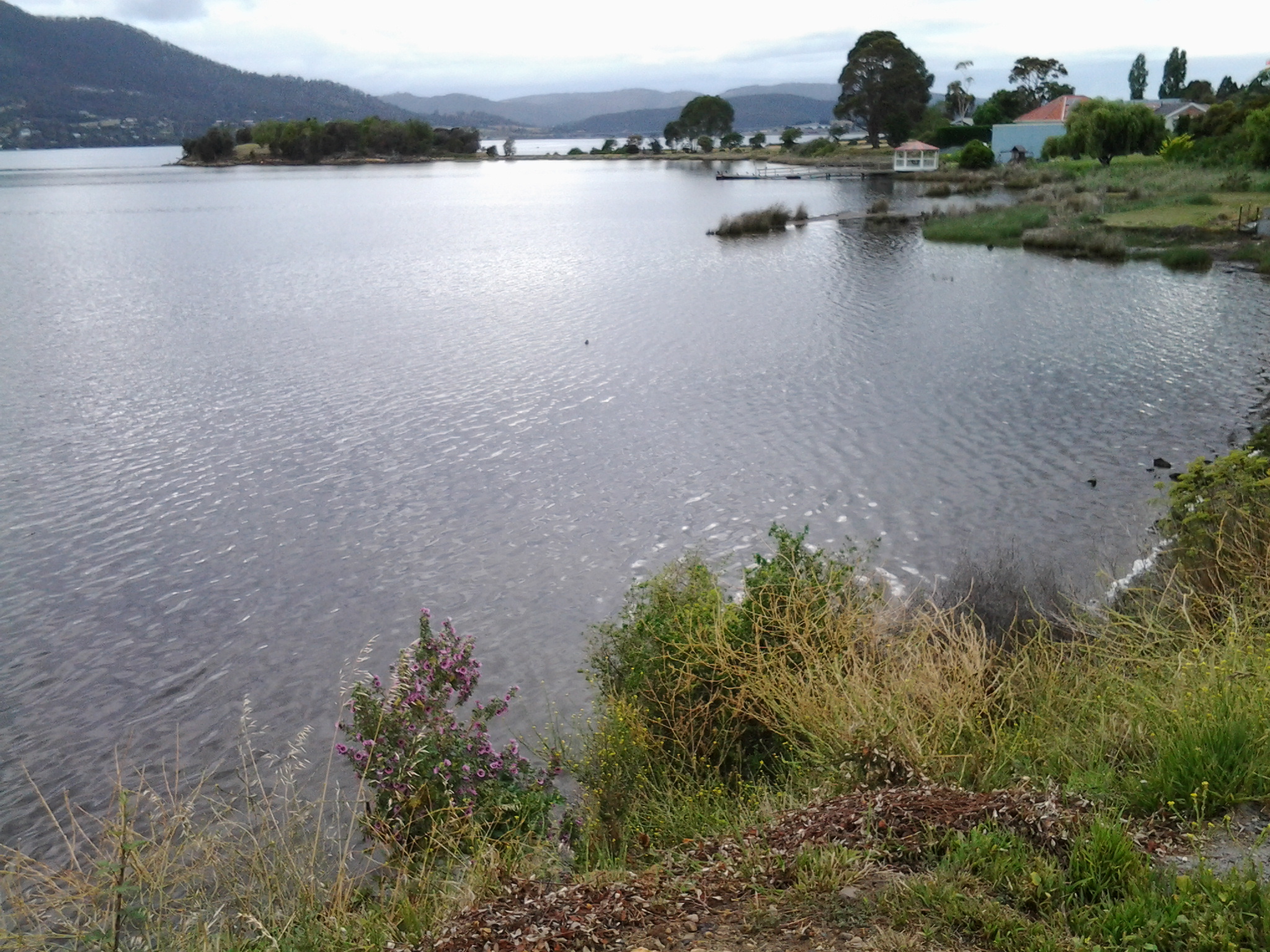
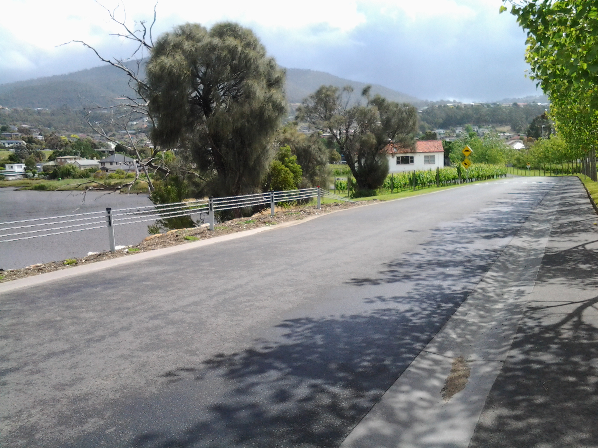
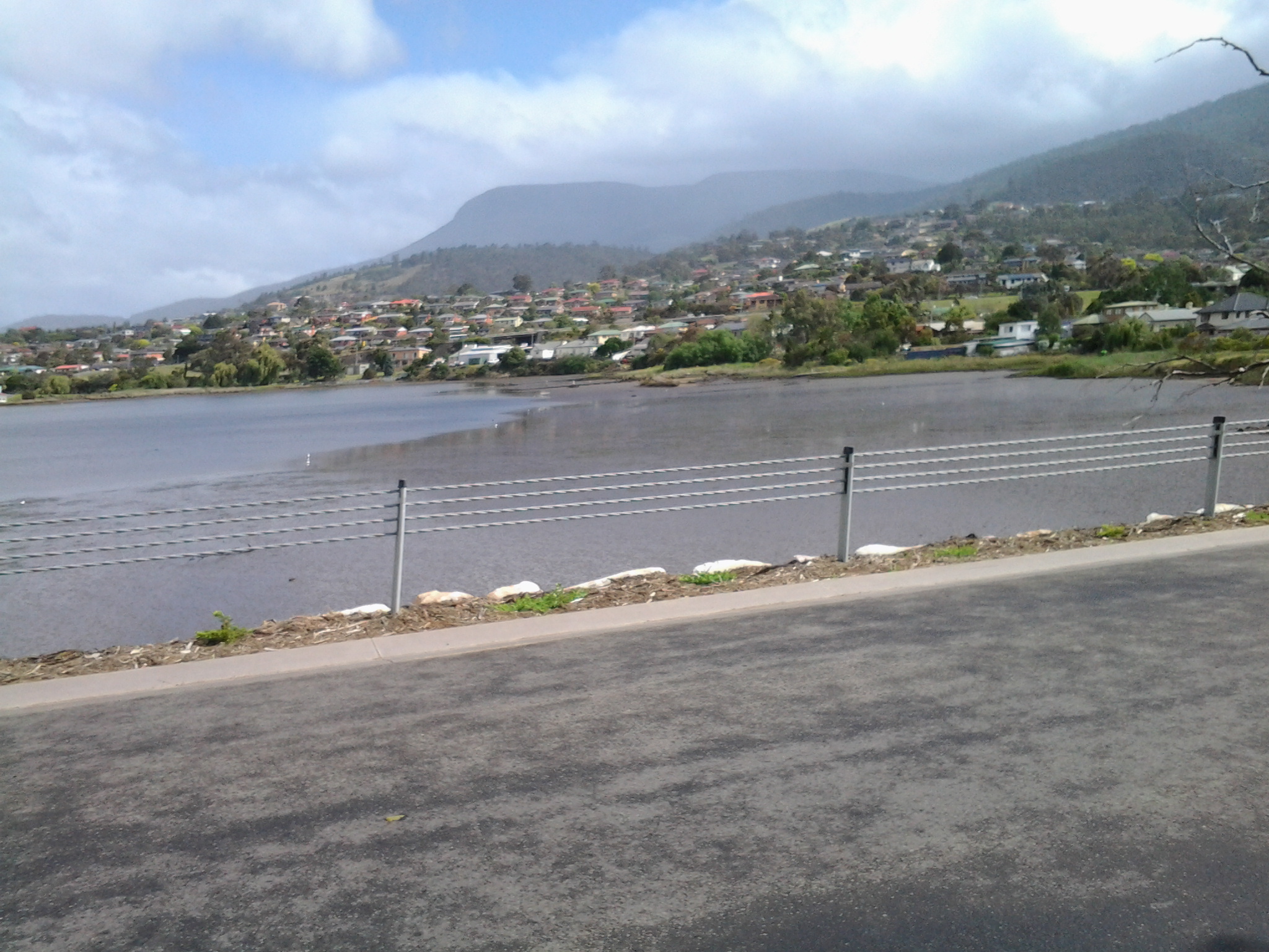
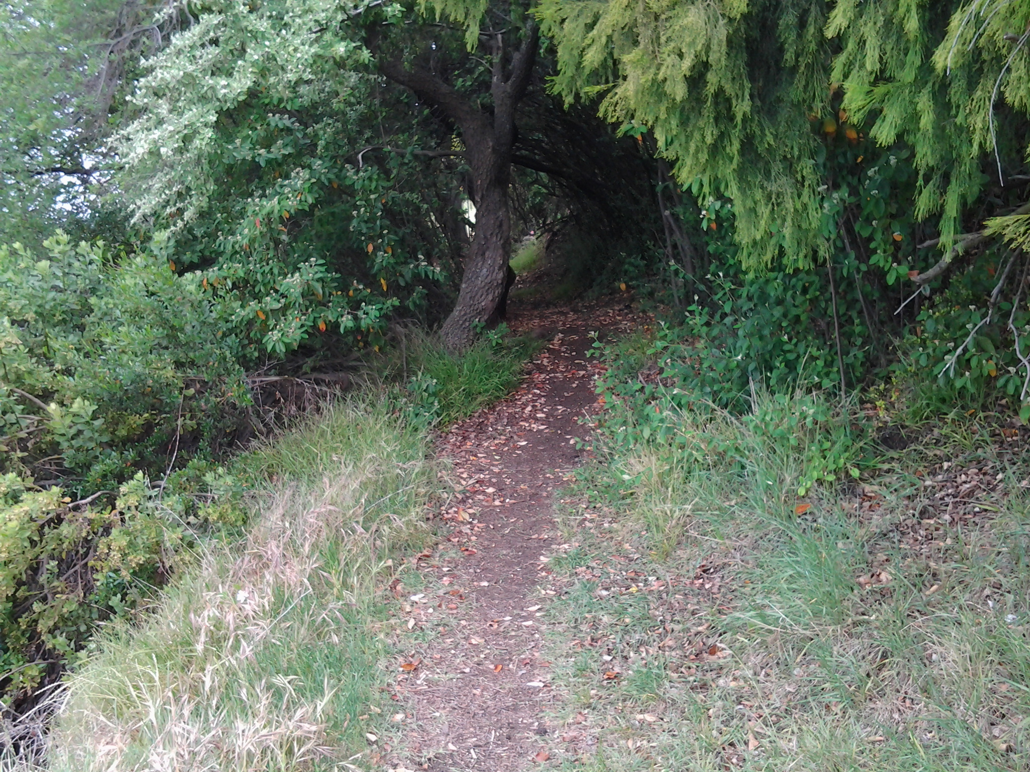
Walking on the right hand side of the road facing oncoming traffic and with the Derwent River on my right, I continued into the icy breeze heading towards New Norfolk.  It wasn’t much after 8am when I left the (comparatively) built up area of Granton on the first leg of Stage 14.

Reliving GASP and MONA with a new walk along the Derwent River

On Stages 9 and 10 of my walk along the Derwent River, I passed the Museum of Old and New Art (MONA) and the Glenorchy Arts and Sculpture Park (GASP).  Yesterday I had the opportunity to introduce two international visitors to these important arts structures.

Mid-morning I met with a follower of my blog, De from upstate New York and her Arizona cousin Ke as we were chauffeured thanks to Ma, from the centre of Hobart to our starting point near the Derwent Entertainment Centre.

Our excursion started from the Pavilion at the southern end of the Glenorchy Arts and Sculpture Park (GASP) near the Derwent Entertainment Centre.  Do you remember my photos of that surprise pink glass wall?

20150109_085808

From a distance and approaching this structure, it looks dull, industrial and disused. But just as I had felt during my walk, my two new international co-walkers were amazed once we arrived at the site. Quite delightful and I have no doubt De will be displaying her own photos on https://deescribesblog.wordpress.com/ when she has time.

Then we started strolling and rolling along the bike/pedestrian path towards the slatted walkways with their colourful striped edges.  Many photos were clicked every time we reached a new striped walkway with a different set of colours.

20150319_111418

De gets around in a motorised wheelchair so when she spotted a scooter with its dinghy trailer (see photo below) waiting for its owner to return from their boat out on the Derwent River, she stopped in amazement. We talked about how good security seemed to be locally.  The scooter owner had left his/her shoes, helmet and other personal items, and despite a security strap set up to prevent movement, we all knew that enterprising thieves seem to carry bolt cutters with them these days.  But all was well yesterday.

scooter

Gradually clouds disappeared, the mountain looked sharp and much of the sky was blue.

20150319_114408

Glorious.  After a very cold North American winter, De soaked up the sunshine as the day warmed and we did everything to stay outdoors that we could.

We continued along the foreshore and turned towards the highway when we reached the Montrose High School. Then we were onto the bike/pedestrian track past Rosetta and into Berriedale before advancing up the entrance incline to the Museum of Old and New Art (MONA).  Along the way we admired the new autumnal colours of the Moorilla grape vines beside the road.

Vineyards

A visit to the exhibitions at MONA requires descent into cavernous spaces below ground so we decided to enjoy a lunch break first.  Despite the busyiness of the café directly above the museum, De motored through gaps in the visitors and took us outside into the open air where tables and chairs are set on the lawn. We admired great views up, down and across the Derwent River.

Our sparkling Moorilla wines were crisp and delicious, and the food choices were expansive.  De and I settled on a soba noodle with spring peas and pickled ginger salad, and Ke tucked into an Italian summer salad which included a great variety of ingredients dressed with the best local olive oil. Ducks and peacocks were out and about, seemingly comfortable with the thousands of visitors that come to MONA each week.

Satisfied by lunch we returned inside and took the lift to the bottom floor of MONA. Over the next couple of hours we wandered through the three levels of exhibits before De and Ke found the upstairs bookshop. The wonderful conclusion to our visit came when De spotted a spectacle outside.  They left the building and, along with a throng of tourists, took photographs of a huge unblemished and bright rainbow crossing over the entire River.

It was a great pleasure to show non-Tasmanians a small part of where I have been along the Derwent River, and De and Ke’s enjoyment enhanced mine. Thanks for your company and best wishes De for your conference presentation in Burnie tomorrow encouraging people to understand there are few limits other than those we set ourselves.

Denise leaving MONA

Both De and Ke gave me permission to include their photos in this blog.

International traveller may join me for a walk

A few months ago I was excited when a blog follower from upstate New York, told me she was coming to Tasmania and would love to take a walk with me to see some of the sites I have shown in my postings.  With increasing anticipation we have corresponded and now I expect her arrival this week. Sometime around midweek we expect to undertake a comparatively short ‘stroll’ from the southern end of the Glenorchy Arts and Sculpture Park (GASP) over the wonderful striped edged walkways over the edge of the Derwent River.   Do you remember them? For example,

20150109_083005

and

20150109_084404

Then we will head northwards into Berridale and on to MONA (Museum of Old and New Art) with all its fascinations.  Perhaps we won’t be able to get away but if we do, there is always the possibility we might continue on to Cadburys chocolate factory. This doesn’t seem too shabby an itinerary.  What do you think?

Of course we will exercise our right to choose somewhere else to walk if we wish.

If anyone else is visiting and wants to relive a section of the edge of the Derwent River over which I have passed, please email me on walkingthederwent@gmail.com.

Opera (not Oprah) and the Derwent River

How can I make a connection? This blog is not meant to be a diary of my life rather a record of my walk along the Derwent River in Tasmania. However, when I experience something wonderful I feel enormous pressure to share.  My challenge, therefore, is to make a reasonable connection with the Derwent River.

Yesterday I watched, via their program ‘Live in HD’, one of Metropolitan Opera’s (New York) latest performances of Richard Wagner’s opera Die Meistersinger von Nürnberg.

The connection I am making is slim and relates only to the location of my viewing.  The opera was screened in MONA’s (Museum of New and Old Art) Cinemona theatre.  Long term followers of this blog will know that this internationally renowned Museum is located directly on the western shore of the Derwent River within the Greater Hobart Area (I walked there in Stage 9 and left there on Stage 10).

Another tidbit of connecting information is that a 3 Act opera named ‘Mona’ was premiered at the Metropolitan Opera just over a century ago (yes I am clutching at straws).  In her book American Opera, Elise Kuhl Kirk remarks: “By the time Mona was given its premiere at the Metropolitan Opera in 1912, audiences had wearied of German ideology. Parker’s heroic libretto was ‘somewhat grey’ some said … Parker admired … Wagner.”

The Met’s latest performance of Wagner’s Die Meistersinger von Nürnberg was definitely not grey. It is the story of a man in love who needed to become a mastersinger, but had no experience and possibly no talent, in 16th century Nuremburg Germany. Richard Wagner wrote and composed this opera in the 1860s.

Through their ‘Live in HD’ program, the Met releases a series of operas around the world each year.

Years ago, the CMAX at Devonport on the northwest coast of Tasmania was the only cinema in this State to screen the series. In the past couple of years MONA at Berriedale has also offered the fabulous opportunity to see what amounts to current performances (the actual performance would have been staged in New York only a few weeks ago), current sets and current sophisticated back-stage technology.  The singers are world class at the top of their careers, and the sounds they make can be sublime. During the intermissions, routinely a notable opera singer interviews members of the cast, sometimes the conductor of the orchestra, the Stage Manager or others – all of which adds immeasurably to the pleasure of the experience.

Die Meistersinger von Nürnberg is Wagner’s longest work and the performance lasts over 6 hours including the two intermissions.  The outside temperature in Hobart was very warm yesterday so being able to immerse myself inside watching the performance made me feel extremely fortunate.

Words such as thrilling, brilliant, overwhelming, powerful, breathtaking, and rousing all come to mind when I remember my experience – especially in the third Act.  This opera will be rescreened at MONA tomorrow (23rd Feb) and again on Friday 27th Feb for anyone who is interested to visit MONA by the Derwent River.  I feel sure you will have heard the main theme of this opera before: check out the start of an orchestral performance at  https://www.youtube.com/watch?v=JKG8ZxEOdwE  (Published on Apr 6, 2012 Full Opera Recording “The Mastersingers of Nuremberg”. Sung by Theo Adam, René Kollo, Geraint Evans, Peter Schreier, Helen Donath, Ruth Hesse. Recorded by Staatskapelle Dresden and the Chorus of the Staatsoper Dresden. Conducted by Herbert von Karajan (EMI, studio, 1970).)

Walking along the wharves of Sullivans Cove, Hobart

On Stage 11, after walking along Hunter St, I turned right to walk along the Franklin Wharf street, and had the Derwent River on my left and an enclosure for fishing and other vessels to my right. The morning was fresh, the sun was shining and it was all together delightful. Not many people around. The mountain, clearly visible, looked down on the centre of Hobart and over the wharves. Clouds were reflected serenely in the water.

20150119_072745 20150119_072147

A family of bronze sculptures, perched life-like on rocks on the River side, is much loved by visitors.

20150119_072515 20150119_072503

Passing Mures fish restaurant on my right, I continued on until I could see the row of floating fish shops selling fresh and cooked fish and other seafood.

20150119_072706 20150119_072651

A minute later, I was standing on the celebration platform used when the Sydney to Hobart Yacht race boats arrive. I looked across to Elizabeth Pier which contains accommodation, conference facilities and a number of eateries (where sitting outside is such a pleasure).  In the photo below the ‘tall-ship’ replica Lady Nelson sits outside the T42 restaurant.

20150119_072901

Opposite Elizabeth St pier, a number of buildings of different architectural styles and vintages line part of the street. Continuing to the other side of the Elizabeth St pier, a second tall ship, the Windward Bound offers sailing trips.

20150119_073148 20150119_073111

On the next pier after the one in the photo above, a couple of the contemporary camouflaged MONA ferries sat either side within the slightly mobile surface of beautiful glassy water.  Taking a trip on these ferries down the Derwent to and from MONA (Museum of New and Old Art) located in the suburb of Berriedale (I walked through that on recent Stages) helps you to see parts of Hobart you would not normally see, and it gives you a perspective on the distances over which the Greater Hobart Area sprawls. It is interesting to reflect on the two extremes of water vessel technology, when you look at the 19th century sailing ship close by a state-of-the-art catamaran.

20150119_073231

These starting sections of my Stage 11 were colourful and tranquil. It’s a free, easy, stroll along the waterfront and there is much to see looking out onto the side of the Derwent River. The next posting on this blog will look at landmarks on the non-River side of the streets.

Heading for Selfs Point as it juts out into the Derwent River

Leaving Lutana, I crossed the bridge on the Queens Walk by turning left off Risdon Road.

20150109_130759

Close by was a sign indicating I was now in the City of Hobart and part of the New Town Bay Reserve. I turned left into Marine Esplanade.  A massive Graham Family Funeral direction sign sat in a rugby field on one corner implying a funeral business was behind.  But it is not – the business premises are located perhaps a kilometre or more away within the suburb of New Town.

As I walked along the gum tree sided Esplanade with New Town Creek to my left, I inhaled deeply of the fresh eucalypt smells. A little before 1.15pm I reached the Tasmanian Bridge Association clubhouse. A minute or so later I passed a University of Tasmania building and stood on a landscaped circle of land marking the mouth of New Town Creek as it enters into New Town Bay.

20150109_131411

Continuing amidst trees by the water’s edge I walked outside a high mesh fence marking the territory of a Sewage Treatment Plant.

20150109_131757

A little after 1.20pm, I was forced to turn back and retrace my steps. The property on which the oil tanks stand was effectively fenced, and the barb wire topped mesh extended out into the water. I wasn’t welcome to continue.

20150109_132116

Irritated, I plopped down on some rocks at the edge of the Bay and nibbled on some lunch.

20150109_132028

For the first time that day I felt the effects of a strengthening wind. I liked watching the MONA ferry dragging a chain of churning white water like a fluffy tail, as it travelled between Hobart and Berriedale.

This route was a pleasant and safe distraction but it did not help me to reach Selfs Point.  And then, as I walked back I found there were no connecting pathways between the Esplanade and Selfs Point Road. But I was not unhappy to have walked this way.  It was really tranquil moving along beside the edge of the Creek and then New Town Bay and the return walk.

In addition, the deviation was valuable because it allowed me to muse about the walkings of Charles Darwin, the English naturalist and geologist best known for his contributions to evolutionary theory. Darwin sailed to Hobart on the Beagle at the end of January 1836 and departed in the middle of February.  You can read more information about his Tasmanian stop over and his opinions at http://www.utas.edu.au/library/exhibitions/darwin/hobart.html.  A few years ago I was told that Darwin decided to climb Mount Wellington by starting at New Town Bay and following New Town Creek.  However, I can find no evidence of this and, in fact, the Royal Society of Tasmania states Darwin only made two attempts to scale Mount Wellington and both were from the South Hobart direction.

By 1.45pm, I had returned to the Queens Walk and turned left to find another route to Selfs Point.

The meld of Montrose and Rosetta on the shores of the Derwent River

Walking south from Berriedale, a blur exists between the two suburbs of Montrose and Rosetta and I am not sure where either starts or finishes.

Soon after leaving the Strathaven Home and Riverfront Motel, as I walked along the ‘bike’ path beside the Highway, on the right in the distance over the highway I could see an old two storey white painted building. Having just passed the sign indicating the Undine Colonial Bed & Breakfast was in that vicinity, I made what I believe is the reasonable guess that what I was seeing was the developed building that grew from the original Rosetta Cottage of the 1800s.

20150109_080054  20150109_080208

It was impossible to safely cross the highway at this point so I walked on.

By 8.06, I had passed the Montrose Park sign, alerting me to turn left towards the Derwent River in the distance.

20150109_080504

Not long afterwards, I walked past the Montrose Bay High School with its whimsical mosaic decorations, and tennis courts.

20150109_080603  20150109_080720  20150109_080816

Wild hens ran around the bull grasses of the Islet Rivulet.

20150109_080850

Once at the water’s edge I realised, that Montrose Park is the northern end of the Glenorchy Arts and Sculpture Park (GASP) that extends a few kilometres south and passes the Derwent Entertainment Centre.  Across the Montrose Bay High School Bus Mall, and then across the Derwent River I could see Mount Direction in the Risdon area.

20150109_081320

The white buildings of Cadbury’s chocolate factory were visible in the distance to the north.

20150109_081523

Also in a northerly direction, the dramatic walls of MONA were clearly visible.

20150109_081530

Looking south, the white Derwent Entertainment Centre was in view.

20150109_081540

Then I started walking again. By 8.20 I was walking passed the Montrose Bay Yacht Club (Making a great offer to help me learn to sail) and then the Glenorchy Rowing Club.

20150109_081817  20150109_081907

Public toilets were nearby, near a kid’s playground.

I enjoyed looking at other quirky mosaic constructions. The photo below shows the High school and another mosaic figure in the distance, plus the posts for an Australian Rules Football game.

20150109_081644

Continuing along, I passed pontoons and jetties, an immature Dominican Gull standing fluffily on one leg, flowering gums with squawking parrots, an outside adult’s gym with chest presses and other exercise equipment, and the Montrose Foreshore Project sign showing developments since 1946.  The spread of residential development over the years has been substantial.

20150109_082441

Getting started on Stage 10 along the Derwent River.

From the eastern shore I caught a bus to Hobart City and then transferred to a 7am bus destined for Bridgewater. At the Glenorchy Bus Mall we waited until it was time to continue … and until more passengers arrived.

20150109_072558

This bus travels along the main road via Berriedale, Claremont and Granton suburbs. At 7.32am I was off the bus outside the Grenada Tavern at Berriedale.

20150109_073246

Opposite the bus stop I glanced at the vineyards of Moorilla and thought of the Museum of New and Old Art (MONA) nearby.

20150109_073235

The view, down the road in the southerly direction I needed to follow, is blandly suburban.  At that hour, the road was very quiet.  I guess with school holidays and many adults taking a holiday away from work, there were lots of sleeping bodies in the vicinity.

20150109_073239

I crossed the road and headed south on the footpath looking to see how I could get past the houses edging Berriedale Bay and walk closer to the water.  Firstly I reached a parking area with a tall mesh fence partly blocking an area of profusely flowering weeds and Berriedale Bay water from me.

20150109_073650

I continued on the main road and turned left away from the highway overpass.

20150109_073954

When I reached a service station I spotted a gap to the water and deviated to see whether further access was possible. Looking north over a bramble of free sown blackberry bushes, I could see the vineyards of Moorilla, and the concrete and rusting building of MONA.

20150109_074116  20150109_074126

Looking south, Frying Pan Island could be seen joined to the land by a tiny isthmus.

20150109_074105

It was clear there would be no continual walking access directly along the River’s edge.  I returned to the main road and continued along until I reached the Strathaven Home for senior citizens and Riverfront Motel villas, arriving there about 20 minutes after I had stepped off the bus. I walked through these properties and continued along the foreshore until stalled by a high fence topped with barbed wire – this continued out into the water as a definite deterrent for further progress. Fat rabbits, and gangs of wild hens scattered across the mown grasses. Frying Plan Island can be accessed via the Strathaven Home  and Motel site. In the photo below, the tiny islet in the foreground and southern side of the Bay, almost blocks the rusting verticals which form part of MONA in the distance at the northern side of Berriedale Bay. It is rather difficult to separate these visually.

20150109_075100

So I retraced my steps back to the main road and joined the ‘bike path’ established for both cyclists and pedestrians by the joint efforts of the Cities of Hobart and Glenorchy. It was 8am.

Yesterday I completed Stage 10 of my sequential walk along the Derwent River

The goal for Stage 10 was to start at my last stopping point, MONA in the middle of Berriedale on the western shore of the Derwent River, and continue to Lutana the last suburb of the City of Glenorchy before the City of Hobart starts. But I went further.  Much further.  Almost much further than my feet could take me.  I walked to Hobart.

Over future posts I will write up the stories of the walk, what I saw and what I experienced, but for now it’s enough to say that I am continuing with this massive project to walk both sides of the Derwent between the mouth and Bridgewater, and then onwards to Lake St Clair. Once I get walking it is always so addictive.  Even when my feet feel crippled, I say to myself … ‘go just a little bit further. What else will I be able to see with fresh eyes?’

The day was gloomy with a cloudy sky, and Mount Wellington had veils of clouds covering at least part of its prominence most of the day. But it didn’t rain and so was perfect for walking.  However, the weather ensured the photographs were without sunshine.

Yesterday I covered 12 kilometres of the length of the Derwent River on the western shore (making 22 kms in total on the western shore), and walked approximately 19 kilometres (making a total of 130 kms to date) to achieve that distance. This distance also takes in the streets and paths on which I walked that led to dead ends so that I needed to retrace my footsteps.

Of the many highlights of the walk, I saw the building that once started life as Rosetta Cottage, and powerful Clydesdale horses with their large hairy feet.

20150109_162649

I surprised a friend still in pyjamas when I went visiting for the first time in my walks. The hot cups of tea were most welcome.

I am always excited when I walk the striped edged boardwalks of GASP (Glenorchy Arts and Sculpture Park) or pass the boatsheds of Cornelian Bay and it was no different yesterday.  See the photos below for a taste of the colour.

20150109_084404  20150109_145335

I very much enjoyed looking at the eastern shore where I had walked during past stages and seeing the landscape from a different perspective.  I felt it made the Greater Hobart Area seem undeveloped in a way which is quite amazing for a capital city. For example, Bedlam Walls on the eastern shore from the western shore of the Derwent River, in the photo below.

20150109_123940

From comments I have received, I know my walks are inspiring others to think about what they might do. Even if you choose not to walk, perhaps you can set yourself other challenges.

My next walk will start at Hunter St at Sullivans Cove on the wharf in Hobart and probably extend to Kingston.  But before then I need to record the details of yesterday’s walk.

Rosetta on the Derwent River

My next walk along the Derwent River will start half way through Berriedale and pass by the suburb of Rosetta before moving onto others. I have tried to discover how Rosetta came to be named and, while I learned a little of its history, I am not certain why it was given this name.  However, I believe that our local suburb of Rosetta is indirectly named after an Egyptian town.

I suspect it all started around the time when the internationally known Rosetta Stone was found in 1799 (note: the first European settlement along our Derwent River started in 1803).  The Rosetta Stone was found by French soldiers, (under Napoleon Bonaparte’s command) who were rebuilding a fort in Egypt, in a small village called Rashid (but known as Rosetta by the Europeans).

Wikipedia offers the following information: “Rosetta (Arabic: رشيد‎ Rašīd IPA: [ɾɑˈʃiːd]; French: Rosette) is a port city on the Nile Delta in Egypt, located 65 km east of Alexandria. Both the Arabic name Rašīd (Interesting unrelated sideline is that Ar-Rašīd meaning “The Guide”, is one of the 99 names of Allah) and the western name Rosetta or Rosette (“little rose” in Italian and French respectively) are corruptions of a Coptic (language from the native Christians of Egypt) word, Rashit or Trashit.”  I can pronounce Trashit, Rashid and Rosette/Rosetta so that they sound similar. Can you?

Read http://www.touregypt.net/rashid.htm#ixzz3NvMb6Iyk for more information about the town of Rashid. Apparently the highly green Egyptian town on the Nile River was typically tranquil with vast gardens, orchards and date-palm plantations, in addition to a multitude of beautiful historical houses, inns and mosques adorned with exquisite decorative inscriptions and woodworks. The town was known as the ‘Rose of the Nile’ by Europeans. I guess the name Rosetta was given to our suburb for the underlying European meaning of rose; a thing of beauty.  Hobart’s Rosetta is located on the southern side of Tasmania’s major river in a beautiful setting within the City of Glenorchy as part of the Greater Hobart Area.  However it is neither a city nor a port.

In 1807 as part of the Alexandria/Fraser expedition to Rosetta in Egypt, British forces led one group of local inhabitants in a civil war against another group led by a local leader.  Britain’s intention was to break the Ottoman-French alliance. As a result, in the first decade of the 1800s, I suggest that Egypt would have been highly visible in English news and the battles would have been known in the colonies.

Irene Schaffer, a Rosetta resident and local researcher offers historical information about the original settlement at http://www.tasfamily.net.au/~schafferi/index.php?file=kop79.php. John Berrisford and wife arrived in Australia from England on the First Fleet in 1788. Then, in 1808 John and his family sailed to Hobart Town. In subsequent years, they settled along the Derwent River in the area now known as Berriedale Bay and which extended to the south-east past Rosetta High School, and they built Rosetta Cottage (later renamed Undine Inn). 140 acres of land, now part of our suburb of Rosetta, was granted by NSW’s Governor King to John Berrisford in 1813.

My last walk along the Derwent River finished at MONA a little to the north of Rosetta. My next walk will start by passing Berriedale Bay. I look forward to seeing the old house – albeit with extensions and renovations since John Berrisford was alive. A photograph of this property, now known as the Rosetta Colonial Accommodation, can be seen at http://firstfleetfellowship.org.au/stories/john-hannah-beresford/. This website also provides more detail about the Berrisford family and their history.

Perhaps, through news from England, John Berrisford heard that Rosetta was the ‘Rose of the Nile’ and, in believing the British intrusion into Egypt was glorious, named his house as a show of support.

As a contrast from the historical background, I have located a contemporary profile for Rosetta. The population is 2567, the median household weekly income is $1050, the median age of residents is 45 years, the average household size is 2.4, almost 60% are married or in a de facto relationship, almost 40% are either under 5 years of age or over 64 years of age, weekly rent is $340, and the median house price is $319,455.

Berriedale on the Derwent River

I experienced the Berriedale Caravan Park, beautiful bays and water birds, the surprising memorial to dogs that were members of the defence forces in various international wars, sewage works and MONA at the end of the last stage of my walk along the Derwent River. But there is more to Berriedale.

1986 was the International Year of Peace and many Peace Gardens were created to celebrate the event. Others have been created since then for bringing communities together. Eve Masterman (1907-2014), a tireless worker for peace, social justice and the environment, was instrumental in the establishment of an International Peace Forest (Peace Park) at Berriedale in 1991. This Forest/Park does not appear on Google maps, is not listed as a park within the jurisdiction of the City of Glenorchy, and there are a number of online enquiries asking for the location. But I remember passing through a Peace Park on my walk – I just can’t remember where. I have scoured my handwritten notes (the precursors to the postings) and photographs and found them wanting. Does any reader know the location of the International Peace Forest (Peace Park) at Berriedale? Shouldn’t a Peace Park be considered significant and worthy of records, signage and directions?

Now, how about some older history?

The Scottish heritage of some residents of Tasmania’s City of Glenorchy may be represented in the name Berriedale. According to http://www.tasmaniatopten.com/lists/ancestries.php, “The third largest migrant group in Tasmania are the Scots. They were also numerous among the early settlers in the colony.” Firstly, it was interesting to learn that in Scotland; Glen Orchy is about 17 km long and follows the River Orchy through the Caledonian Forest. Secondly, there is a small village Berriedale located on the far north eastern coast of Scotland. I have looked at images of the Scottish countryside around Berriedale and they show no resemblance to Tasmania’s Berriedale. The Berriedale Inn was open for business near our Derwent River in 1834 and perhaps the name for the suburb derived from that. Alternatively, perhaps our suburb was named after someone with that surname rather than the town. The City of Clarence has a good website with historical information about its suburbs and so I wish that the City of Glenorchy offered something similar. I can’t believe I am the only one interested to understand the Hobart that I live in.

I am on holiday watching over the Derwent River

Yesterday afternoon I left home, for a week, to live in a unit above Kingston Beach which overlooks the wide expanse of the Derwent  Harbour in Tasmania’s south east.

In future, I will walk along the edge of the Derwent River below as part of my stroll along the Derwent from the eastern shore mouth to the western shore mouth and then from Granton to the source.  Here I am located very close to the mouth on the western shore. I feel tempted to walk the last kilometres this week, and then go back to Berriedale and walk the remaining distance to Kingston. The weather and Christmas commitments will influence the decision.

I am living in a leafy suburb where the rain has pattered through most of the night.  The ground is moist, the air is clean, and the vegetation looks delightfully healthy. This morning, despite slight drizzle, I have taken photos from and around where I am living to give me a sense of place.

20141223_092336 20141223_092147  20141223_092341

The water and the air over the Derwent River are pale and silvery. The sky and water blend softly over disappearing hills so that they all seem to slip from my eyes. Details are scant. Focusing is difficult.  It is not surprising that the photo below shows no water detail.

20141223_092053

Last night in the evening’s continuing light (today is the longest day of the year) I looked across the Derwent River and could identify the land on which I walked in parts of the first three stages of my walk.  The entrance to Ralphs Bay is marked by Trywork Point to the north and Gellibrand Point in the south stands proud at the northern end of the South Arm peninsula. I can see the northern parts of the suburb of Opossum Bay and, further south, the hill above Fort Direction intrudes into the light wispy sky.

Today is the sort of day when ‘you can leave your hat on’ (rain hat that is) and I am enjoying my holiday so much that I have been ‘singing out of key’ around the place … thanks Jo Cocker. Devotees will remember Jo Cocker’s fourth album was titled “I can stand a little rain”.  Bring it on!

Moorilla Estate on the edge of the Derwent River, and Claudio Alcorso’s legacy

Two weeks have passed and I am yet to plod along a new stage of my walk along the Derwent. Unfortunately a number of commitments and inclement weather have kept me off the path but for the followers and other readers of this blog, I hope to be walking later this week or early next week and lodging new stories onto the blog.

History

Meanwhile a little history of the fabulous location at Berriedale where my last walking stage finished and the next stage starts needs to be provided.

20141125_155820

Moorilla is an estate producing wonderful wines from the vineyards that sit around MONA (Museum of New and Old Art) in the northern suburbs of the Greater Hobart Area.  Details about these good drops can be found at http://www.moorilla.com.au/. In addition, the world famous Moo Brew Brewery operates from the site.  Read more at http://www.mona.net.au/mona/moobrew

Claudio Alcorso

The estate and vineyard was originally established by entrepreneur and Italian textile merchant Claudio Alcorso in 1947. Read more at http://www.moorilla.com.au/winemaking/history/. Claudio Alcorso was well known for setting up Silk and Textile Printers Ltd. at Derwent Park, a suburb in the City of Glenorchy in the Greater Hobart Area.  He was also a patron of the arts. For example, in 1947 and other years Alcorso commissioned selected Australian artists to design new fabrics and then these were printed on silk, wool and linen. The artists included William Dobell, Hal Missingham, William Constable, Russell Drysdale, James Gleeson, Francis Lymburner, Adrian Feint, Jean Bellette, Donald Friend, Margaret Preston, Justin O’Brien, J. Carrington Smith, Loudon Sainthill, Frank Hinder, Carl Plate, Margo Lewers, Douglas Annand, Alice Danciger, and Desiderus Orban.  Tasmanians may recognise that our Jack Carrington Smith was recognised in this list of celebrated Australian artists. Their designs were displayed in substantial national exhibitions and helped to create a design shift nationally and were part of a global development in the design of fabrics. Have a look at http://news.google.com/newspapers?nid=1301&dat=19470821&id=fgNVAAAAIBAJ&sjid=25MDAAAAIBAJ&pg=7284,3275402 to see some of the fabrics.

Alcorso sponsored the Alcorso-Sekers Travelling Scholarship for Sculpture with the Art Gallery of New South Wales and helped bring some of the most controversial art to Australia in the 1960s and 1970s.

You can read a transcript of a short interview with this wonderful man at http://eprints.utas.edu.au/16629/2/alcorso-transcript.pdf.  Alcorso’s autobiography The Wind You Say. An Italian in Australia – the True Story of an Inspirational Life was published by Angus & Robertson in 1993.

Handing over to David Walsh

Alcorso sold the property to David Walsh in 1995 who, in concert with the current wine maker, has continued the open-mindedness of the original owner with a search for, and presentation to the public, of new and exciting and beautiful objects and experiences.

Stacks of wonderful photographs of Moorilla and MONA can be seen at https://www.google.com.au/search?q=moorilla+images&espv=2&biw=1366&bih=643&tbm=isch&tbo=u&source=univ&sa=X&ei=XreGVP8Lg4PyBcWxgTA&ved=0CDMQ7Ak

Since MONA opened to the public a few years ago, hundreds of thousands of people from around the world have poured into Tasmania and made the pilgrimage. It offers a feast for all the senses and no-one leaves the estate unchanged.

Just remember the estate and MONA are closed to the public every Tuesday.

20141125_155805

The 9th stage of my walk along the Derwent River finished at MONA

More serious rain was threatening as I sat at the point, and rather than return to the Berriedale Caravan Park and then locate the Main Road seeking a bus, I decided to investigate whether it was possible to walk up the hill and arrive on the Moorilla estate at MONA (Museum of New and Old Art) by the ‘back door’.

Earlier in the day others had warned me that MONA was closed to the public every Tuesday. As a result, I was somewhat concerned that even if I was able to access MONA property, by the time I reached the Main Road perhaps the exit might be gated and locked and I would need to retrace my steps.  But I am glad to say the day had a happy ending. There were no gates or locks and my exit was simple and easy.

But before then, I continued my voyage of discovery.

It was very easy to wander up the hill from Cameron Bay. Firstly, I came upon a shed with the sign MONA ROTA and beside it a helicopter pad was laid out for the transport of special guests.

The hills behind Berriedale were almost invisible with shrouds of rain and I knew that a heavy downpour would be around me very soon.

Therefore, I was very pleased when I spotted a large concrete pipe, the sort which is used for drainage when major roads are being built. The pipe offered me perfect protection from the wind and rain. While standing inside, I discovered that the pipe was part of an art work, Worm Mound. A number of pipes like it were placed around a tepee located in their centre and then a high mound of rich soil provided a thick cover. Grass seed had sprouted and the mound seemed almost ready for a haircut. What I liked particularly was the long roots that had been inserted in the mound and which hung and draped inside the mound around the tepee.

I have visited MONA many times but I had never walked to this part of the property. The Worm Mound was a strange but uplifting find.

When the rain calmed a little, I ventured out with my umbrella firmly in hand and walked to the open concert area.  As the rain re-intensified, I noticed the rich red transparent door of one of the tall wooden ‘art’ buildings was open. I went inside and sat and listened to the dialogue which formed part of the art experience. Previously I had not made the time to do this and so the experience was most instructive. A meditation space.  In future I will be interested to visit the other similar structures built in the concert area to see if the voice and messages are the same.

Eventually I connected with Moorilla’s main thoroughfare and walked down to the Main Road at Berriedale. Bus stop 33 is located near the entrance to the Moorilla/MONA experience and I didn’t have to wait long for a Metro bus numbered X1 to transport me to Glenorchy and onto Hobart city.

20141125_155805  20141125_155817  20141125_155820

I left Moorilla/MONA at 4pm, half an hour after leaving the point where the southern end of Cameron Bay met the Derwent River. On a fine day and without any distractions the time required to pass through the property might have been 10 minutes.

I never had the intention to simply pass through this refreshingly invigorating complex with its thought provoking and startling exhibitions.  Besides, I had planned to reward myself at the end of this stage 9 with a glass of their award winning wines. Alas. That pleasure was not to be – on this occasion.

From McCarthy’s Point to Berriedale on my 9th walk along the Derwent River.

When I turned around for my last look northwards from McCarthy’s Point across Connewarre Bay and the main body of the Derwent River, the Cadbury factory was sunlit. I found it difficult to believe I had been there only 1 ¼ hours ago because of my experiences with new vistas since then: now the Cadbury factory seemed so far away.

20141125_144658

The walk from McCarthy Point moved along a pretty trail, well-trodden by others. It made for excellent walking.

20141125_144433

The vegetation was often lush and overgrown with free sown exotic plants.

20141125_144540  20141125_144548  20141125_144652

Before reaching Lowestoft Bay in the distance I was puzzled by … was it a woman washing herself in the garden.

20141125_145547

Of course on closer inspection this clearly was not the case.  First impressions can be so wrong!

20141125_145610

I thought the concrete blocks flanking ‘her’ feet were rather special element of the installation of this sculpture.

Closer to the water’s edge in front of this property stood a flag pole. This Australian flag was protected from the wind by nearby trees.  Considering the gale that blew around me all day in every nook and cranny it was extraordinary to have a moment of calm here.  Perhaps winds don’t blow here. Perhaps the flag always droops.

20141125_145623

In the photo above, across the Lowestoft Bay a section of the Berriedale Caravan Park is visible.

But before I reached the Bay,  I surprised a clan of rabbits happily resting on the leaf strewn path ahead of me.

Rabbits

I had the feeling they were not used to pedestrians on a weekday and were most put out as they scurried off to hide.