
From the eastern shore I caught a bus to Hobart City and then transferred to a 7am bus destined for Bridgewater. At the Glenorchy Bus Mall we waited until it was time to continue … and until more passengers arrived.

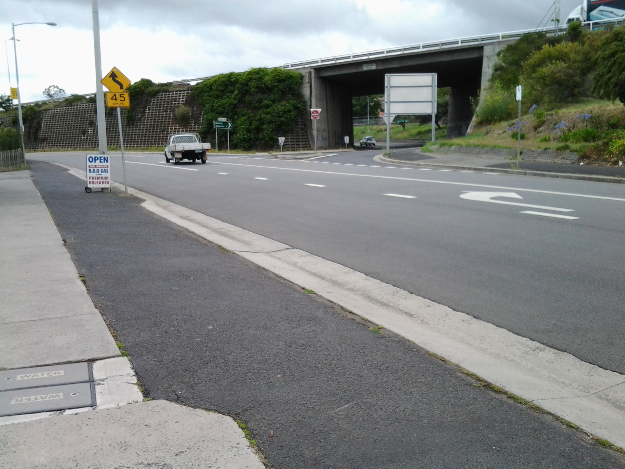
This bus travels along the main road via Berriedale, Claremont and Granton suburbs. At 7.32am I was off the bus outside the Grenada Tavern at Berriedale.

Opposite the bus stop I glanced at the vineyards of Moorilla and thought of the Museum of New and Old Art (MONA) nearby.

The view, down the road in the southerly direction I needed to follow, is blandly suburban. At that hour, the road was very quiet. I guess with school holidays and many adults taking a holiday away from work, there were lots of sleeping bodies in the vicinity.

I crossed the road and headed south on the footpath looking to see how I could get past the houses edging Berriedale Bay and walk closer to the water. Firstly I reached a parking area with a tall mesh fence partly blocking an area of profusely flowering weeds and Berriedale Bay water from me.

I continued on the main road and turned left away from the highway overpass.
When I reached a service station I spotted a gap to the water and deviated to see whether further access was possible. Looking north over a bramble of free sown blackberry bushes, I could see the vineyards of Moorilla, and the concrete and rusting building of MONA.
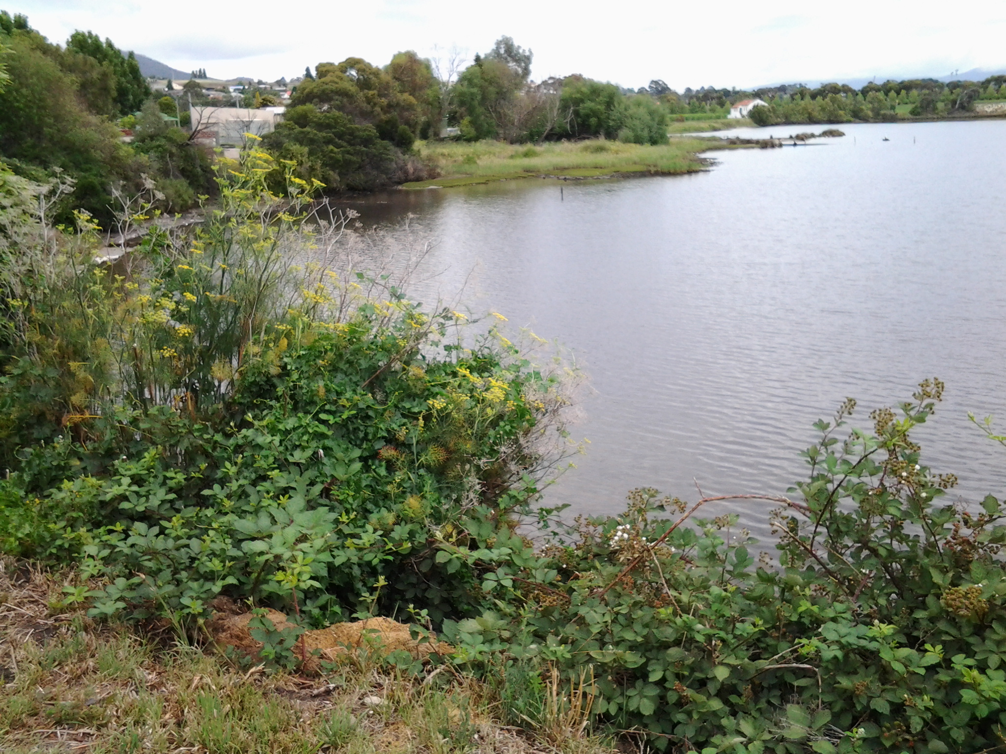

Looking south, Frying Pan Island could be seen joined to the land by a tiny isthmus.
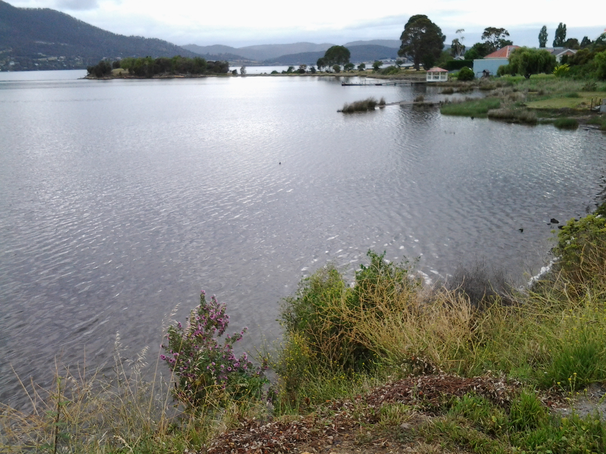
It was clear there would be no continual walking access directly along the River’s edge. I returned to the main road and continued along until I reached the Strathaven Home for senior citizens and Riverfront Motel villas, arriving there about 20 minutes after I had stepped off the bus. I walked through these properties and continued along the foreshore until stalled by a high fence topped with barbed wire – this continued out into the water as a definite deterrent for further progress. Fat rabbits, and gangs of wild hens scattered across the mown grasses. Frying Plan Island can be accessed via the Strathaven Home and Motel site. In the photo below, the tiny islet in the foreground and southern side of the Bay, almost blocks the rusting verticals which form part of MONA in the distance at the northern side of Berriedale Bay. It is rather difficult to separate these visually.

So I retraced my steps back to the main road and joined the ‘bike path’ established for both cyclists and pedestrians by the joint efforts of the Cities of Hobart and Glenorchy. It was 8am.

Had you gone to Montrose Bay, walked along the foreshore, at low tide, you would have got there a site quicker. My friends and I walked there numerous times in the late 1950s. We would walk from Grove Beach along to Montrose Bay around to the frying pan island. At least once a week. Grove Beach was a favourite place for us to enjoy.
LikeLike
Thanks for your comment Bill. Sometimes areas are more easier to access if you start from one direction rather than the other. If I had started from the Derwent Entertainment Centre and walked towards MONA I would have, subject to low tide, been able to walk more of the shore of the river. However I would have needed to retrace my steps because at a point it is impossible to get through fenced private property. In walking from MONA towards Hobart City I was not able to see ways through to some of the shoreline, try as I might (and as much as I thought about jumping fences). It wasnt until Montrose that I was able to be right on the shore line again.
LikeLike
There is only one spot that is not accessible at any tide, between the high school and strathaven aged care. On Sunday the 17th,St Patrick’s Day, some volunteers erected a bit of art, for the indigenous community. I will attach it in the next day or so. As I stated I have wandered this area fovover 50 years.
Regards.
LikeLike
Thanks
LikeLike
I certainly remember walking around the Aged care facility along the water then needing to retrace my steps to go up onto the highway.
LikeLike
I would have thought that retracing our steps would be the best way. You must remember that if using the strathhaven land is trespassing if you have not received permission. Also granted by the T. A. C..
LikeLike
It all seems so long ago – would be around the end of 2014 I am guessing. So many other projects now exercise my mind. Glad you enjoy your walks around that area. Cheers.
LikeLike