Tag Archives: Lake St Clair

Wild West with Ray Mears

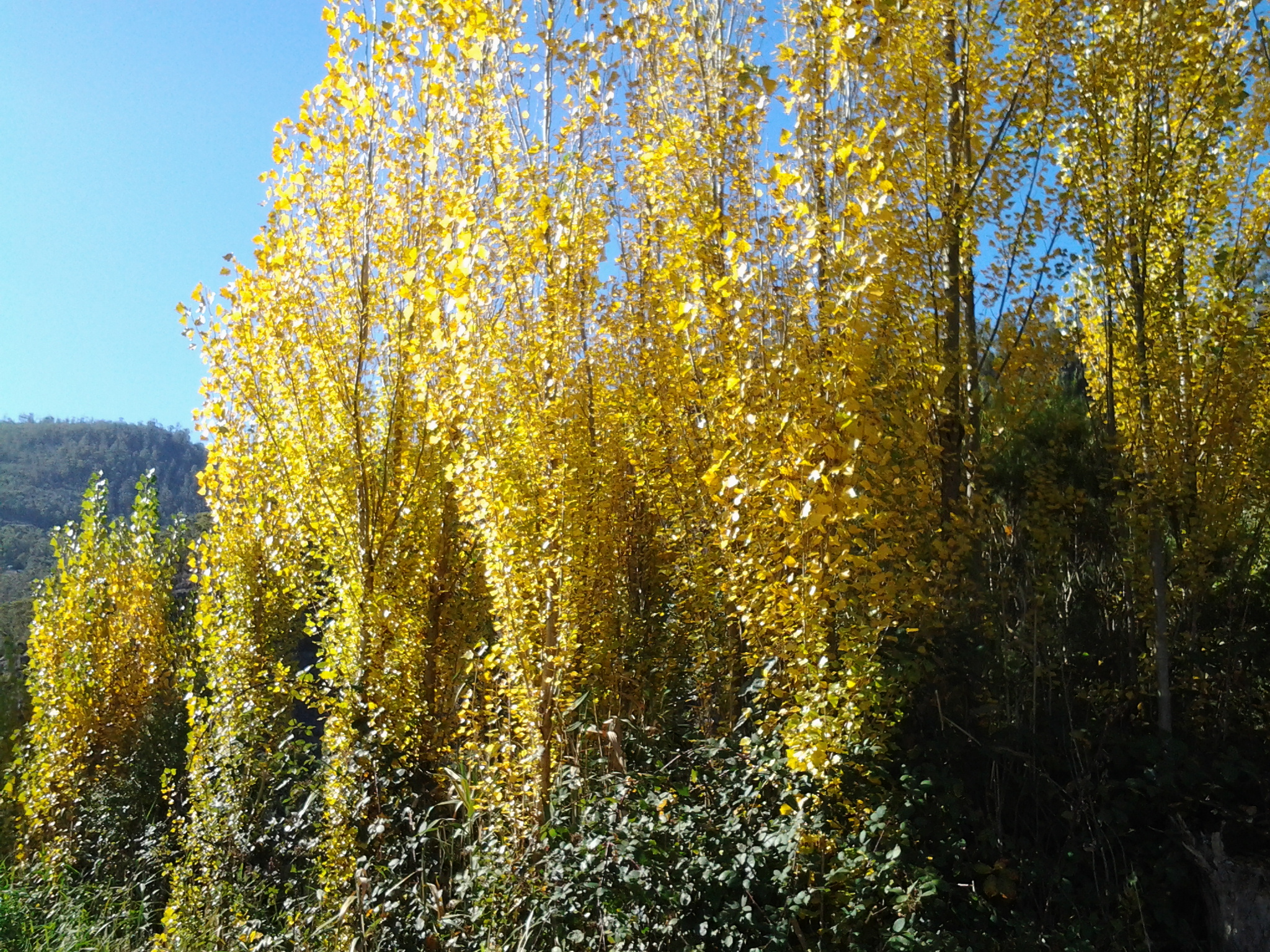
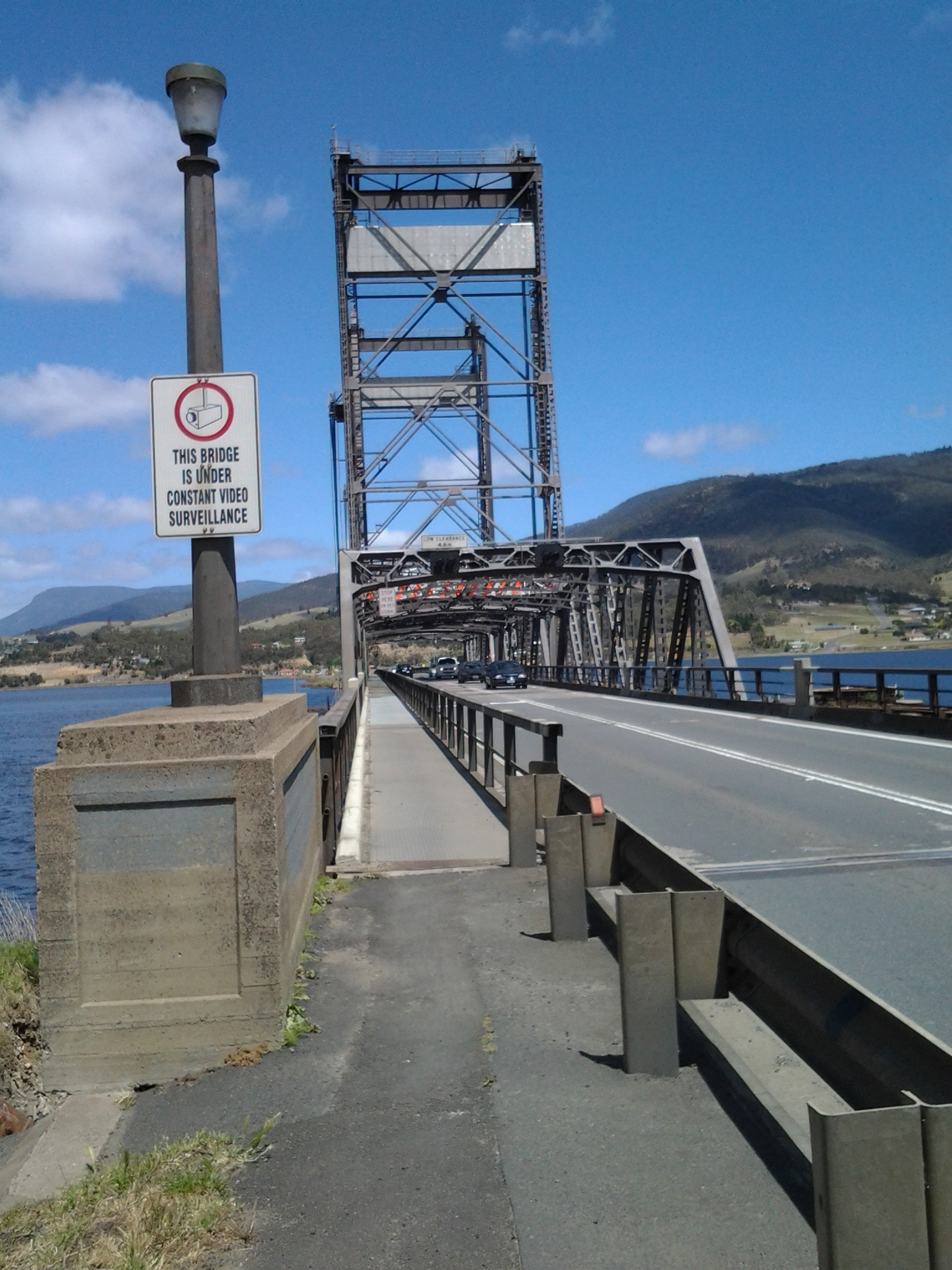
Blog reader, Be, alerted me to the third in a BBC program series, ‘Wild West with Ray Mears’. This episode focused on mountains and followed Mears travelling through the Appalachians, the Rockies and the Sierra Nevada to evaluate the landscape and its effect on the early European settlers as they moved west in North America.  Be indicated there was river edge walking and this reminded her of my quest to walk along the Derwent River in Tasmania – so I was eager to watch the documentary.

Ray Mears and Wild West DVD cover

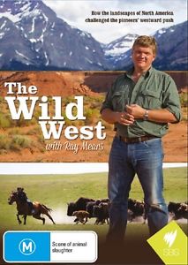
I found that Ray Mears did access various rivers and streams to emphasize parts of his story, but direct connections to my walking project were slight. However, I found his story to be important because it has prompted me to ask new questions about the Derwent River and its most recent European settler history.  Hopefully others have already conducted research and can supply me with some answers – any leads will be welcome.

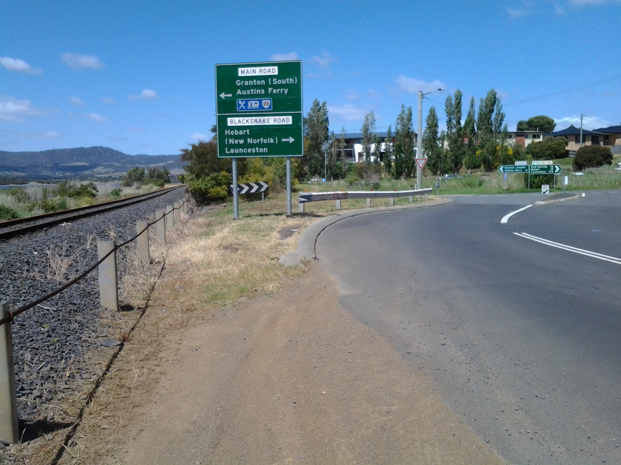
  • After initial settlement in Van Diemen’s Land at Risdon on the Derwent River in 1803, what was the nature of the westward push along the Derwent River by European settlers? Do we have names of the people and families of those who moved west? What are the dates associated with these movements?  What are their stories?
  • Why did they move along the River? Did they stop and set up camp, house or agricultural property? Do those buildings or farming properties still exist?  Is the land now in private or organisational hands or is it Crown Land? Or were people only passing through?  If so, what was their intended destination? Did people moving inland along the Derwent find some parts of the wilderness edging the River made their further progress impossible so that they moved away from the River? What are the movement stories?
  • To what extent was the River used for transport between Lake St Clair and New Norfolk? Where and when? What was transported on the River? Can anyone name ships/boats that were used? Were there recognised ferries across the River above New Norfolk?  I know the Derwent River has a series of rapids further towards the source.  Did these inhibit river travel?
  • In the rivers of the United States’ Rockies mountains, the ‘mountain men’ trapped beavers for their fur. Their fur was used to create a strong felt which could be used for those increasingly tall hats that were fashionable in the 18th century. What was the nature of any trade in possum skins and those of other animals that might have persuaded hunters to walk the Derwent River?  What are their stories?
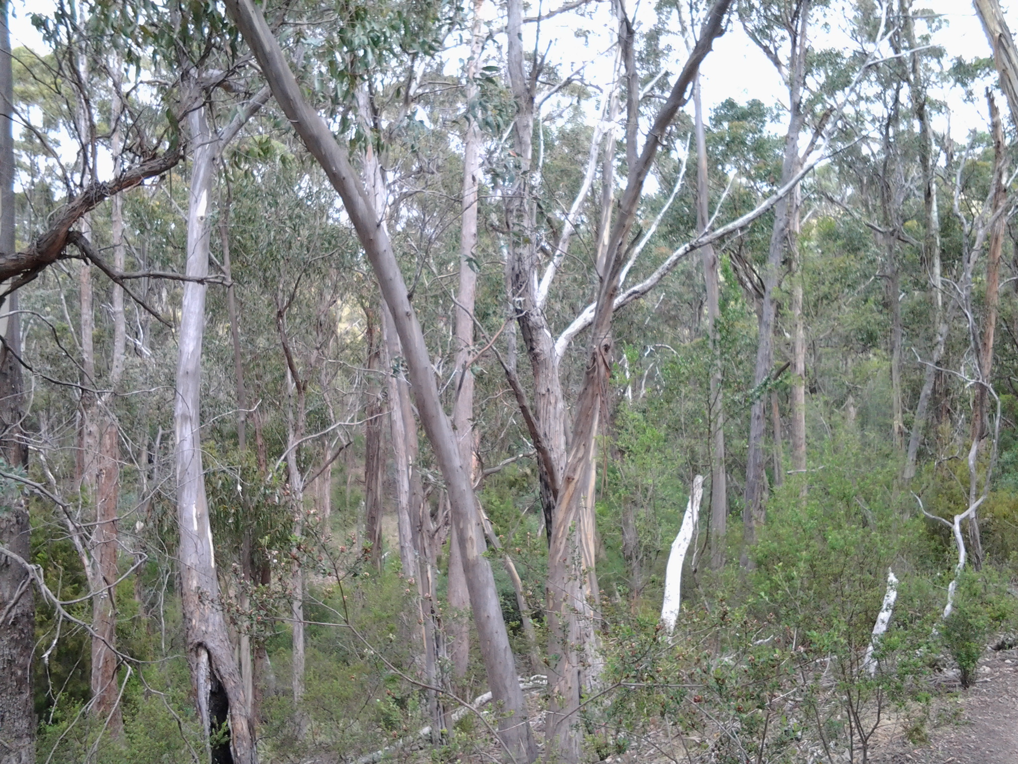
  • Massive removal and usage of natural resources supported the westward movement of European settlers across America. When did forestry operations and logging commence west of Hobart in the Derwent Valley and how was the Derwent River used to support those operations? What mining expeditions and investigations were made along the Derwent River? When and by whom?  What were the outcomes of these searches and trials and finds?

Ray Mears met with a muleteer who explained why he loved being in the wilderness: ‘I leave no trace as I pass and just move through like a shadow’.  I hope that is how I walk.

Shelter for the walk

In future months I will be sleeping out on a few nights when I head off from New Norfolk towards Lake St Clair trudging beside the Derwent River. In the past few days I have outlaid outlandish sums of money when I purchased the lightest sleeping bag and tent.  Collectively they weigh 1.99kg.  We all have our priorities and mine is clearly to walk to Lake St Clair with the minimum of discomfort.  For others who might follow in my footsteps and expect to seek the lightest gear, as an example here is what I bought.

  1. The tent, a Marmot Force 1P, has a bright lime green shell supported by slim ‘Featherlite’ steel rods. In this one person tent I will be able to sit up (head zone is 91cm high), load the contents of my backpack at my feet (length less than 2 metres), and sit my backpack outside in the triangular vestibule.  It has a full coverage fly. The documentation with the tent indicates the package weighs 1.06kg.

20150802_173401 20150802_173814

Yes this is the tent set up in the comfort of my loungeroom!  It was a trial installation; first the tent and then the fly.

  1. The sleeping bag is a Mountain Design Ultra Tek 470 with a black 20 Denier shell, a vivacious orange coloured zip defining one edge and the inside of the bag is aflame with more brilliant orange fabric. Pertex Quantum is the windproof fabric used to reduce the weight without sacrificing strength and abrasion resistance. IApparently the fabric’s softness allows insulation in the sleeping bag to have more loft. A special feature is the water repellence of the 750 Duck Down Tek fill. The sleeping bag, including the stuff sack, weighs a mere 0.93kg.

Sleeping bags are temperature rated in 3 different measurements:

  • Comfort (C) is based on a standard adult woman having a comfortable night’s sleep
  • Limit (L) is based on the lowest temperature at which a standard adult male is deemed to be able to have a comfortable night’s sleep
  • Extreme (E) is a survival only rating for a standard adult woman

The temperature rating guide for my sleeping bag is C=1, L = -4, and E = -21 degrees.

20150802_171904

I still need to obtain one further comfort item; an inflatable mattress which weighs next to nothing.  More research required.

Lake St Clair and architectural awards

Previous posts have introduced the re-purposed Pumphouse that sits proudly in the centre of Tasmania.  When blog follower Ju alerted me to the 2015 Tasmanian Architectural Awards I was keen to follow up. I found the new buildings at Pumphouse Point on Lake St Clair won this year’s Commercial Award. You can glide over the glorious photographs at http://wp.architecture.com.au/tasawards/2015-awards/commercial-architecture/commercial-architecture-pumphouse-point/. The accompanying information includes words such as art deco, Tasmanian Wilderness, heritage, World Heritage Area – I hope these focussed your attention as they did mine.

Complete with 18 guest suites, a communal lounge area and a shared dining area, I find this development very attractive.  When I checked the website (http://www.pumphousepoint.com.au/) imagine my surprise to discover that of the 18 accommodation spaces very very few remain to be booked over the coming weeks.  Popular!!!  Yes.

I plan to stay for one or two nights as my reward for completing the walk along the Derwent River to Lake St Clair – one day when that happens (bring on the warmer weather!).  Can you blame me?

40 degrees south

The iconic magazine produced in, by and about Tasmania is Tasmania 40° South.

Details about the latest issue can be read at http://www.fortysouth.com.au/back-issues/issue/77. One current story highlights the cleverly re-purposed Pumphouse at Lake St Clair (the end goal for my walk along the Derwent River). The accompanying photos include mirror quality reflections across the lake – simply stunning.

Tas 40deg south mag cover

Each issue of the magazine showcases the wonders and diversity of Tasmania, the stories are always well written and accompanied by magical photographs.

It is possible to subscribe and receive each quarterly issue through the post, or purchase electronic issues – go to (http://www.magzter.com/AU/Forty-South-Publishing-Pty-Ltd/Tasmania-40%C2%B0South). For people planning to visit or to move to and live in this state, obtaining copies of this glossy magazine is a must. The information will inspire and orient you. Also, it will provide something wonderful to show friends and relatives.

While Tasmania may be located remotely at one edge of the world before the southern polar cap, it is an Australian state with startling natural beauty, a flurry of surprising international and community festivals throughout the year, clean air, the freshest of sea and land food, a rich and complex cultural scene, beautiful remnants of heritage listed architecture, and short travel times with easy access within the cities and throughout regional areas. In addition, Tasmania boasts valuable educational institutions (for example, our University of Tasmania is ranked in the world top 100 universities in the disciplines of Earth and marine sciences, top 150 for Agriculture and forestry, top 300 for Law and top 400 for Medicine).

Many residents and visitors to the state are lifted by a sense of vibrancy and vitality from the opportunities which Tasmania offers.  Technological and communication access to the world is a given from Tasmania, and a number of airlines fly in and out of Tasmania all day throughout the year.  In other words, we are easily connected to the world – when we are not out and about in Tasmania eating world class meals, participating in all manner of sports, or discovering more of the natural environment by walking, cycling, driving, swimming, diving, fishing or flying. Oh yes … and some of us work.

If you are wondering where the magazine title came from, consult your maps or have a look at https://en.wikipedia.org/wiki/40th_parallel_south.  You will see that the latitude of 40 degrees south passes through King and Flinders Islands the two most northern islands of Tasmania and therefore that line of latitude marks the northern extremity of this Australian state.

I wonder who of my blog readers, apart from Tasmanians, live somewhere near 40 degrees South (New Zealand, Chile, Argentina?).  And how many readers are living at 40 degrees North?

Piguenit – artist extraordinaire in southern Tasmania

The 19th century lady who wrote her story of a walk from Trial Harbour to Ouse (refer https://walkingthederwent.com/2015/06/20/a-story-of-a-walk-in-19th-century-tasmania/) mentioned Tasmanian artist William Charles Piguenit in her record of the events.

‘… had our first near view of the various peaks of the West Coast Range. From here we kept on rising till we reached the Government hut, 1,500 ft above and 15 miles from Strahan.  Here the first of a series of magnificent views met our eyes; beneath us lay a deep valley, forest clad for miles, and beyond, stretching as far away as the eye could reach, lay the range, its rugged peaks standing out sharply against the sky.

How it makes one long for the brush of a ready painter, to be able to place on canvas at least something to keep one’s mind fresh with the remembrance of all this beauty. Mr Piguenit is, I believe, the only artist who has devoted his time and labour to this district, and the results of his work are to be seen in the pictures now hanging in the Art Gallery of the Hobart Museum, and certainly the next best thing to visiting the West Coast is to see Mr Piguenit’s pictures of different scenes in that region.’

The collection of the Tasmanian Museum and Art Gallery (TMAG) contains a substantial number of his oil paintings.  Years ago I was employed by TMAG as an attendant and stationed in the upstairs ‘colonial’ gallery where the 19th century paintings were hung adjacent to marble sculptures and rare examples of early Tasmanian wood furniture. Back then I was a student of art history, and the establishment deemed me to be the expert amongst their collection of gallery attendants. They felt sure I would be able to help any visitor with enquiries about the collection on show.  One whole end of that 19th century gallery space was devoted to the work of Piguenit.  With much time on my hands to study each work of art, I fell in love with his dramatic descriptions of remote Tasmanian wilderness. But most surprising was that many of the very large oils, surrounded by beautiful carved frames, were compositions of the landscape in many gradations of grey when Piguenit had only chosen to use black and white paint.  Gloriously glossy. Unexpectedly stunning.  Tasmania’s inland environment had never been seen by most people (and still hasn’t been).

It was a surprise to me that I can only find online reproductions of these great paintings in a TMAG published catalogue raisonne of the work of William Charles Piguenit (http://www.tmag.tas.gov.au/__data/assets/pdf_file/0017/73142/piguenit_catalogue.pdf). Unfortunately, the document is incomplete and the images are very poorly reproduced – this booklet does the artist a great disservice. When faced with the paintings, the oils are truly majestic and have a similar power to mountainous work by artists such as Eugen von Guerard, Casper David Friedrich, and those from the Hudson River School such as Frederick Edwin Church.

The collection of the Art Gallery of New South Wales in Sydney holds some of his work including the following paintings (in coloured oils) which show aspects of Lake St Clair (the source of the Derwent River and the goal of my walk).

Mount Ida, Lake St Clair, Tasmania c1881

AGNSW Mount Ida Lake St Clair Tasmaniac1881

Mount Olympus, Lake St Clair, Tasmania, the source of the Derwent 1875

AGNSW Mount Olympus Lake St Clair Tasmania the source of the Derwent 1875

Hobart to Lake St Clair in 1850; mostly by foot.

Another of the stories published in Hilary Webster’s compilation: The Tasmanian Traveller A Nineteenth Century Companion For Modern Traveller, recorded the Journey of F.J. Cockburn who on foot travelled ‘From Hobart to Lake St Clair and Return’ in 1850.

The Tasmanian Traveller

Cockburn seems to have been the butt of nonsense advice when he asked around for the best time of year to walk from Hobart to the remote inland Lake St Clair, which is located roughly in the centre of Tasmania. He tells ‘I received replies which induced me to start on May-day.’  By that time of year, temperatures are plummeting and the further you progress away from the coast of Tasmania the more the rain settles in.

He took a steamer to New Norfolk and then it rained for 4 days.  On one of these early walking days he found an essential bridge had been washed away with the deluge. His crossing was memorable. ‘The river remained impassable until 7th, when by letting a long ladder down from the remnant of the bridge onto the ruins of one of the piers, I was able to cross, like a monkey, before an admiring audience’.

Miles later he ‘stopped at a little eating house, in a damp situation surrounded with wet fields …” What was wrong with F.J. Cockburn’s powers of perception?  All the weather signs indicated that proceeding further at that time of the year was a bad idea.  Then came more reasons for abandoning the walk; ‘the last six or seven miles of my day’s journey was along a regular wild bush road, affording admirable opportunities for murder and robbery.’

Despite these factors, F.J. Cockburn persisted with his journey. After losing his way at one point he came across a hut with two shepherds who fed him mutton chops, damper and tea. “My bed was formed on the floor near the fire, of sheepskins, and I was very thankful that it was too cold for fleas.”

When he reached Lake St Clair, his appreciation of the lake was stymied. ‘The sides of the lake being covered with dense forest, almost impenetrable, it cannot be seen to advantage without a boat, and boat there was none.’

Cockburn summed up his experience of Lake St Clair as ‘certainly a gem in its own way. It is as fine as any Scotch lake of its size, excepting in the beauty of the foliage on the banks. It was a wild and striking scene.’

F.J. Cockburn carried a satchel weighing ‘about twelve pounds: one shooting coat, waistcoat and trousers; one pair of shoes; three shirts; three flannel waistcoats; three pairs of socks; three handkerchiefs; one pair of braces; one neck-tie; one travelling dressing case – and when I started, half a pound of “nailrod” tobacco.’  I can’t help wondering how small this man was – these days the clothes on this list would weigh much more for the average sized walker.

He concluded ‘on the whole I was pleased with my trip; the roads were bad, the country wet and the air cold, but on the other hand, the grass was more vividly green than at any other time, the air was clear and crisp, there were no fleas, and walking was pleasant in the cold.’

Long-term followers of this blog know that I found the start of my last walk (in April) from Bridgewater/Granton to New Norfolk way too cold. This led me to the decision to put on hold any further walking towards Lake St Clair until Springtime when the temperature starts to climb towards summer.  I am in awe of walkers around the world who like being cold and wet and find pleasure in achieving walking goals in such environments.  Perhaps I am too soft!

Between the bridges: Stage 14 of my walk along the Derwent River

The achievement yesterday was to walk from the Bridgewater Bridge to the New Norfolk bridge on the western shore of the Derwent River.

I set off from home before the sun was up and I found Hobart was quiet when I arrived at the city bus mall.

20150413_070843

Then I bussed to Granton and alighted from the bus at the intersection with the Bridgewater Bridge causeway.

20150413_074852

From Granton I walked north-west then west towards the inland town of New Norfolk walking mostly along the Lyell Highway and then on a walking track for the last 5 or so kilometres. The morning was freezing and the afternoon warm.  But the sun was out; its hard autumn light made the world seem alive and sparkling. The Derwent River was splendid, often still and reflecting the trees and hills on its surface, under a bright blue sky with the sun shining gloriously.

20150413_140121

I finished my walk at the bridge crossing the Derwent River in New Norfolk.

20150413_145514

During the walk, I covered about 15½km of the length of the Derwent River.  By my reckoning, the total distance of the Derwent River on the western shore from the mouth of the River to New Norfolk is 54¼ km.

My walking distance was approximately 20¼kms.  I have now walked approximately 191¼ kms not counting getting to and from buses, as part of this project to walk along the Derwent River.

The highlights of the walk to New Norfolk were finding the remnants of two clearly visible heritage lime kilns, seeing a family of 6 pelicans, finding the track along the river leading to New Norfolk, and being mesmerised by the spectacular autumn foliage along the walk and especially in New Norfolk.

20150413_140030

I started walking from Granton around 8am and, despite wearing a thick woollen beanie plus a thermal top under my windproof jacket, I was frozen for the first two and a half hours.  It was 8 degrees Celsius at Bellerive when I left home, 6 degrees at Glenorchy and I suspect much less with a wind chill factor along the first part of the walk.  On this basis, I will not be walking further inland until sometime in Spring, and the timing of starting again towards Lake St Clair will depend on the air temperature.

Over the coming week I plan to enjoy writing up the journey and the discoveries of Stage 14’s walk in a series of different postings.

The Lyell Highway between Bridgewater Bridge and New Norfolk

History

In the first couple of decades of the 19th century, when increasingly the small Van Diemens Land colony demanded more roads and better river crossings, the first road from Hobart Town to New Norfolk was built by McCarty under contract to the government. By 1840, the road to New Norfolk had extended to Ouse and Marlborough (Nive River) to serve remote settlers. During the next forty years the road was further extended for tourist purposes to Lake St Clair (Refer http://www.utas.edu.au/library/companion_to_tasmanian_history/R/Roads.htm).

Wikipedia offers the information that the highway did not reach Queenstown until the 1930s and was not properly surfaced for some time after that. In post cards of the 1940s and 1950s it is called the West Coast Road. When Tasmania’s hydro-electric system was expanding and their works were under construction at Tarraleah in the mid-1940s, the highway was re-aligned to follow the Derwent River until it passed Tarraleah to provide better access to the area for construction vehicles.

Lyell Highway on map

2008 details

A 2008 government report (http://www.parliament.tas.gov.au/ctee/Joint/Reports/Lyell%20Hway.pdf), which recommended major changes be made to the road between Bridgewater Bridge and New Norfolk in order to create a safer highway, provided lots of information which added to my knowledge about this strip of road and its environment.  I will be looking to see if the recommendations were acted upon when I walk (the temperature plummeted today, and wintry weather yet again made the walking of Stage 14 impossible).

The report explained The Lyell Highway between Granton and New Norfolk is a two lane road with a sealed pavement width that varies in the range of 6.5m to 7.2m wide with unsealed shoulders. The highway follows the southern bank of the Derwent River. The highway is often located at the base of the hillside adjacent to the river flats and as a result has tight curves and sharp crests. The high, steep terrain on the southern side of the highway and deep soft silts on the northern side pose significant design challenges due to cost management and the environmental impact of the proposed works. The abutting land use is rural, dominated by rural residential with some horticulture (vineyards, tomatoes, cherries) and one private recreational facility, the Motor Yacht Club of Tasmania (MYCT). The Derwent River is a conservation area. On the southern side of the highway most of the land is hilly, mainly cleared with some trees along the roadside and a few scattered in the paddocks. There are some properties which remain untouched and vegetated by woodland. There are also rows of trees along the side of the road which form windbreaks and/or landscape features.’

Vegetation

According to the same report, the following three vegetation communities of conservation significance occur in the area:

  • Phragmites australis grassland (generally referred to as a common reed): considered vulnerable and inadequately reserved at the state level.
  • Acacia verticillata dry scrub (commonly known as Prickly Moses): of bioregional significance.
  • Leptospermum lanigerum scrub (sometimes named the Woolly Tea Tree): of bioregional significance.

The trees of Potential Cultural Significance along that stretch of the Lyell highway include

  • A stand of white gums between the roadside rest area and the Derwent River at Chain 7760 – 7860.
  • Two weeping willows on the northern side of the highway at Chain 8215 – 8220.
  • A row of old radiata pines on the southern side of the highway at Chain 10250 – 10350.

The following two significant flora species, listed on the Threatened Species Protection Act 1995, occur in the area:

  • Austrostipa scabra (rough spear grass): southern side of the highway Chain 3300 – 3400, 6430 and 6610 – 6640; northern side of the highway at Chain 6940 – 7010.
  • Vittadinia gracilis (woolly new holland daisy): southern side of the highway at Chain 3300 – 3400.

Social history

There are a number of additional features in the immediate area that are considered to have some cultural heritage significance. Project 3 Lime kiln, Chain 3250 – 3540, is located on the northern side of highway. This is currently listed on the Tasmanian Heritage Register (THR) (R701)(http://www.heritage.tas.gov.au/thr.html) and hence is subject to the provisions of the Historic Cultural Heritage Act 1995. There are a number of additional features in the immediate area that are considered to have some cultural heritage significance, such as the Marsh Farm and a redundant section of the old main road.

Fossil Cove Road T junction with the Tinderbox Road

Close to 9.30am I reached the left hand turn of Fossil Cove Road.

My final decision to proceed to Pearsons Point was made at that juncture.  My reason for wanting to walk to Fossil Cove is that it is on the Derwent River and I would be able to appreciate another part of the River’s western shoreline.  By my reckoning, and never having been down the road to check the situation, I believed the return walk would cover 3-4 kilometres and include steep hills. I thought that if my feet were holding up after I reached Pearsons Point and had returned back to this road then I could finish off the day’s Stage with a walk to see the fossils.  Alas … my feet were not ready for this on the return trip (I still had the walk from there back to a Blackmans Bay bus stop to consider) so I will visit another day to make this deviation from Tinderbox Road.

Including this future walk, I count three additional walks I have promised to do, in order to cover a little more of the Derwent River shoreline. I will return to the area between GASP (Glenorchy Arts and Sculpture Park) and Goodwood on the other side of the Bowen Bridge.  I will find out if I can make special arrangements to visit the industrial property of Nystar which sits against a significant length of the Derwent River.  And finally I will return to walk to the fossils at the end of a track at the end of a road off Tinderbox Road.  Most likely these walks will be undertaken on good weather days in winter when walking inland towards Lake St Clair is impossible because of extreme weather conditions.

A new milestone marking the 13th stage of my walk along the Derwent River: I reached the mouth on the western shore. Whoppee Doo!!

Yesterday, I completed the first part of my walk along the Derwent River: an exciting achievement.

Last August I started walking from the mouth of the River at Cape Direction on the tip of the South Arm peninsula and now, at the end of February, I have completed the distance from that mouth to the Bridgewater Bridge and back on the western shore to Pearson’s Point near the settlement of Tinderbox.

On the 8th stage mid-November, I had the first major milestone when I finished the walk from Cape Direction to the Bridgewater Bridge. This 13th stage was the culmination of walks from the Bridge back to the mouth on the western side of the River.

During yesterday’s walk, I covered about 5km of the length of the Derwent River.  By my reckoning, the total distance of the Derwent River on the western shore from the Bridgewater Bridge to the mouth is 38 3/4 km.

For Stage 13 yesterday, I needed to walk to Pearson’s Point from the bus stop where I finished on Stage 12 and then, on reaching my goal, I needed to retrace my steps back to Blackmans Bay to connect with a bus that could return me to Hobart.  This distance was approximately 17 kms. I have now walked at least 171km not counting getting to and from buses.  But when the walks are staggered over time, this number does not mean much.

The highlights of the walk to Pearson’s Point were mostly small and natural: rosehips, green rosellas, hum of bees, resting sheep, and the taste of delicious ripe blackberries along the way.

20150224_103540

I was surprised how close the northern part of Bruny Island was to the mainland of Tasmania (almost felt like I could swim across the D’entrecasteaux Channel) and I felt overwhelmed by the staggeringly expansive and grand views across and up and down the Derwent River.

20150224_114137

The fun part was singing (including mixing up the words in my excitement) Handel’s Hallelujah chorus (from The Messiah) at the top of my voice when I passed a large sign with the words SING. You can listen to a superb version performed in 2012 by the Royal Choral Society at the Royal Albert Hall in London England at https://www.youtube.com/watch?v=IUZEtVbJT5c

https://www.youtube.com/watch?v=IUZEtVbJT5c

Over the next few days I will write up the journey and the discoveries of Stage 13’s walk.  Then I will be looking towards a long main road walk from the Bridgewater Bridge at Granton to New Norfolk which I expect to undertake in the next couple of weeks.  Once I have reached New Norfolk I will be on the way to Lake St Clair, the source of the Derwent River.

From Hinsby Beach to Blackmans Bay accomplished on Stage 12 yesterday

The goal of my walk along the Derwent River for Stage 12 was to start at my last stopping point, Bus Stop 30 on the Channel Highway at Taroona on the western shore of the Derwent River, and continue to Blackmans Bay in the local government area of Kingborough.  I did not get as far as expected, but I was satisfied when I finished 2/3 of the way along the Blackman’s Bay Beach.

Over future posts, I will write up the stories of the walk, what I saw and what I experienced, but for now it’s enough to say that I am continuing with this massive project to walk both sides of the Derwent between the mouth and Bridgewater, and then onwards to Lake St Clair.

Yesterday I covered 5 ¾ kilometres of the length of the Derwent River on the western shore (making 35 3/4 kms in total on the western shore), and walked approximately 11 kilometres (making a total of 154 kms to date) to achieve that distance; there were a lot of steep ascents and descents.

20150202_085332

This distance also takes in the streets and paths on which I walked that led to dead ends so that I needed to retrace my footsteps.

The highlights of the walk include finding a way through some of the early part of the almost untracked Alum Cliffs, the delightful walk along the tracked part of the Alum Cliffs, meeting some friendly people along the way, the unusual snake sign at Tyndall Beach, stopping for a long cup of tea in Kingston with a friend, my discovery of another tucked away beach – Boronia Beach, and the Blackmans Bay Blowhole.

There are many memorable images but my favourite for today is one of my photos of mussels growing on the rocks at Boronia Beach.  I have already made it my desktop background image. When enlarged, the blues glow.

20150202_142540

Fundamentally the Stage 12 walk was about forest and water.

20150202_113014 20150202_104740  20150202_115156 20150202_152557

The day started with my being roughly opposite Gellibrand Point at the northern tip of South Arm and finishing opposite the long South Arm Beach.

I intend my next walk will start from where I left off at Blackmans Bay and then continue into the Tinderbox area to Fossil Cove.  But before then I need to record the details of yesterday’s walk.  So Stage 13 will be a while away.

Yesterday I walked Stage 11 from Hunter St in Hobart city to Hinsby Beach south of Taroona

The goal of my walk along the Derwent River for Stage 11 was to start at my last stopping point, Hunter St at the wharf in Hobart on the western shore of the Derwent River, and continue to Kingston in the local government area of Kingborough.  But I did not get that far.  My feet said enough was enough once I found the delightful and almost hidden Hinsby Beach.

20150119_131327

Over future posts, I will write up the stories of the walk, what I saw and what I experienced, but for now it’s enough to say that I am continuing with this massive project to walk both sides of the Derwent between the mouth and Bridgewater, and then onwards to Lake St Clair.

The day was sunny with a bright blue sky, Mount Wellington was clear, and a cool breeze featured through much of the day – making it perfect walking weather.

Yesterday I covered 8 kilometres of the length of the Derwent River on the western shore (making 30 kms in total on the western shore), and walked approximately 13kilometres (making a total of 143 kms to date) to achieve that distance. This distance also takes in the streets and paths on which I walked that led to dead ends so that I needed to retrace my footsteps.

The highlights of the walk include discovering the road next to Taroona High School is a public access route which took me down to the Derwent River to a row of colourful boathouses, getting off the main road at places like Cartwright Park Reserve, and seeing the Alum Cliffs in all their majesty.  My next walk will start along the top of these.

20150119_125317

It was a revelation to watch the eastern shore and to see the suburbs and beaches on which I walked in the early stages of my walk. The day started with my being roughly opposite Bellerive and finished with my being opposite Gellibrand Point at the northern tip of South Arm.  The photo below, taken from Hinsby Beach, looks across the Derwent River to Opossum Bay Beach.

20150119_131757

I intend my next walk will start from Hinsby Beach and continue to Blackmans Bay.  But before then I need to record the details of yesterday’s walk.  So my walk for Stage 12 could be a week or more away.

Yesterday I completed Stage 10 of my sequential walk along the Derwent River

The goal for Stage 10 was to start at my last stopping point, MONA in the middle of Berriedale on the western shore of the Derwent River, and continue to Lutana the last suburb of the City of Glenorchy before the City of Hobart starts. But I went further.  Much further.  Almost much further than my feet could take me.  I walked to Hobart.

Over future posts I will write up the stories of the walk, what I saw and what I experienced, but for now it’s enough to say that I am continuing with this massive project to walk both sides of the Derwent between the mouth and Bridgewater, and then onwards to Lake St Clair. Once I get walking it is always so addictive.  Even when my feet feel crippled, I say to myself … ‘go just a little bit further. What else will I be able to see with fresh eyes?’

The day was gloomy with a cloudy sky, and Mount Wellington had veils of clouds covering at least part of its prominence most of the day. But it didn’t rain and so was perfect for walking.  However, the weather ensured the photographs were without sunshine.

Yesterday I covered 12 kilometres of the length of the Derwent River on the western shore (making 22 kms in total on the western shore), and walked approximately 19 kilometres (making a total of 130 kms to date) to achieve that distance. This distance also takes in the streets and paths on which I walked that led to dead ends so that I needed to retrace my footsteps.

Of the many highlights of the walk, I saw the building that once started life as Rosetta Cottage, and powerful Clydesdale horses with their large hairy feet.

20150109_162649

I surprised a friend still in pyjamas when I went visiting for the first time in my walks. The hot cups of tea were most welcome.

I am always excited when I walk the striped edged boardwalks of GASP (Glenorchy Arts and Sculpture Park) or pass the boatsheds of Cornelian Bay and it was no different yesterday.  See the photos below for a taste of the colour.

20150109_084404  20150109_145335

I very much enjoyed looking at the eastern shore where I had walked during past stages and seeing the landscape from a different perspective.  I felt it made the Greater Hobart Area seem undeveloped in a way which is quite amazing for a capital city. For example, Bedlam Walls on the eastern shore from the western shore of the Derwent River, in the photo below.

20150109_123940

From comments I have received, I know my walks are inspiring others to think about what they might do. Even if you choose not to walk, perhaps you can set yourself other challenges.

My next walk will start at Hunter St at Sullivans Cove on the wharf in Hobart and probably extend to Kingston.  But before then I need to record the details of yesterday’s walk.

Crossing the Bridgewater Bridge during the 8th stage of my walk along the Derwent River

This stage of my walk along the Derwent from the mouth of the River on the eastern shore was the most exciting one so far, because I was reaching a significant milestone.  By my reckoning, it marked the end of the easiest part of the walk to the source of the Derwent River at Lake St Clair. Accordingly, and to continue a walk with relative ease for a while, I planned to cross the Bridgewater Bridge and walk south to the mouth of the River on the western shore, then to start tackling the challenging kilometres further north next year.

I was a little surprised how special the day seemed, and so it was an easy decision to cross the Bridge rather than waiting to do so on Stage 9.

20141111_131436

I stepped onto the path on the left of the Bridge at 1.14pm and was off the Bridge and onto the Bridgewater Causeway by 1.20pm. The terrifyingly large fast trucks threatened to suck me off the bridge with their speeding surges next to my shoulder (there was a metal fence separating us but the bridge noise and vehicle speed all combined to make the energy around me vibrate fiercely). I removed my sunhat and held on firmly.

20141111_132207  20141111_132150

Except for a small layby, there was no formal walking track beside the Highway on the Causeway, and trying to walk on extremely unsafe and uneven ground beside railings (or none) required extra vigilance.

Looking ahead of the western shore, from the Bridgewater Causeway.

20141111_132218  20141111_132743

The persistently noisy and fast traffic (on what must be one of Tasmania’s busiest roads – the Midlands Highway) and the wind pushing across the Causeway from one side of the Derwent River to the other were constants, and I was determined they would not distract me from getting to the western shore. I was not the only one walking across the causeway; two others were following me across.  So, on the sample of three people, I would say 100% of people experience danger walking across the Bridgewater Causeway.  I didn’t take photos of the really dreadful bits – too busy concentrating on where my feet might go.

I did enjoy watching the dozens and dozens of Black Swans, and looking back at part of the suburb of Bridgewater on the eastern shore.

20141111_132202

And towards the western shore:

20141111_132810

20141111_132913

I reached Granton on the western shore at 1.35pm and negotiated myself along the road and across old train lines (this would all be easy if there was no or minimal traffic) all the time beginning to move southwards. Three minutes later I reached the sign indicating a left turn off the Brooker Highway towards Granton South and Austins Ferry.

20141111_134311

As I stepped in this direction I recognised a sign marking the start of the City of Glenorchy.

Occasionally I looked back towards the Bridgwater Bridge, across the railway line that was one a lively link between northern and southern Tasmania.

20141111_133556  20141111_134208

I followed a rough non-path on the edge of the road until a new sign at 1.45pm indicated I needed to take another left turn towards Granton South and Austins Ferry.

20141111_134416

As I walked around the corner, on the right in the distance I could see a hotel; the York Hotel.

20141111_134856

I felt myself glow with delight in anticipation of making this my stopping point for the walk, enjoying a cold beer and meeting the locals. However, as I got closer, two locals were walking towards the bus stop Number 47 located opposite the Hotel.  They let me know that a bus was expected in the next few minutes. My feet hurt, it would be quite a while before another bus would pass this way, and so I decided to forego the pleasures of the pub and start my bus trip home. The locals led me to believe the publican ‘has done a really good job’ and ‘this is a good pub now’.  So, perhaps with friends in the future, I will venture back here for the missed cold one.

I was on the bus at 1.57pm, reached the Glenorchy Bus Mall at 2.15, and caught the Metro bus 694 via Risdon Vale to the Eastlands Shopping Centre at Rosny when it left around 2.30pm.  Most of all I was surprised how long it took the bus from the York Hotel to Glenorchy – almost 20 minutes. That represents a great deal of walking time so it is difficult for me to guess where I can reach on the next Stage 9 of my walk along the Derwent River. I am guessing that somewhere in the suburb of Claremont might be achievable, but who knows! Finding out is what gives me something to look forward to next week when I tackle Stage 9 of my walk.