Tag Archives: D’entrecasteaux Channel

Erratum –correction of the name of a geographical position

My walk along the Derwent River started at its eastern shore mouth, at Cape Deliverance opposite the Iron Pot. I walked inland along the river’s edge, crossed the bridge at Bridgewater and walked back to the mouth on the western shore.

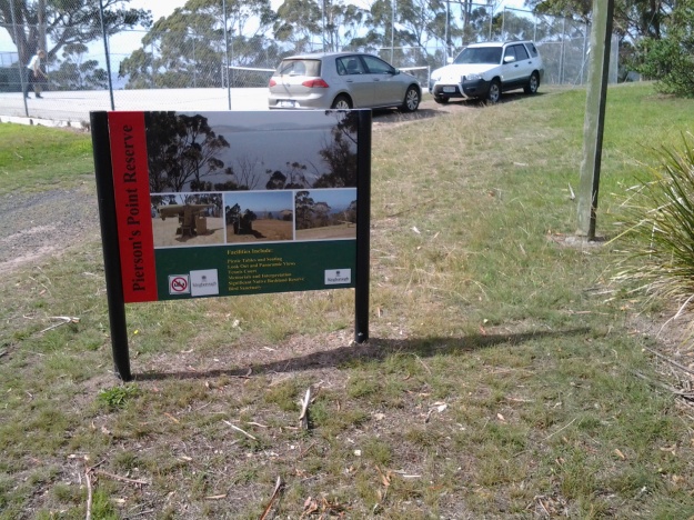
My blog posts referred to that mouth as Pearson’s Point.  That name was an error. The location was Pierson’s Point, as was clearly apparent in one of the photos I included in the blog posts.20150224_105032.jpgHow could I have got it so wrong!  Thankfully, the error has been drawn to my attention and you can now revisit the blog posts knowing I reached Pierson’s and not Pearson’s Point. The two blog posts that contain the outstanding error are titled:
  • A new milestone marking the 13th stage of my walk along the Derwent River: I reached the mouth on the western shore. Whoopee Doo!!
  • Finally I reached the mouth of the Derwent River on the western shore at Pearsons Point

Pierson’s Point was named after a Benedictine chaplain, Dom or Abbe Ambroise Pierson (1765–94) who assisted conscientiously in essential astronomical work. He undertook this work while travelling on board the l’Espérance, a companion vessel to explorer Bruni d’Entrecasteaux’s La Recherche vessel. In 1792 (note the first European settlement by the Derwent River edge at Risdon did not take place until 1803) these French vessels sailed through what has since been named, the D’Entrecasteaux Channel. As a civilian astronomer, Pierson kept journals recording the readings from the chronometers along with astronomical calculations to determine longitude and workbooks comparing the two.

Ambroise Pierson, the 26 year old astronomer who remained after (Abbe Claude) Bertrand’s departure at the Cape (Town), was a Benedictine whose community, in which he had taught mathematics, had been dissolved during the Revolution.  He joined the Esperance as a chaplain-astronomer on a salary of 2400 livres. His loyalty to the civil constitution of the clergy seems not to have affected his relations with the traditionalists aboard;  he was to be one of the most widely respected amongst the savants. (Looking For La Pérouse by Frank Horner Melbourne Univ. Publishing, 18 Oct 2016)
Finally I reached the mouth of the Derwent River on the western shore at Pearsons Point

The goal of walking along the western shore of the Derwent River was to reach the mouth and during Stage 13 I reached this destination marked by Pearsons Point.

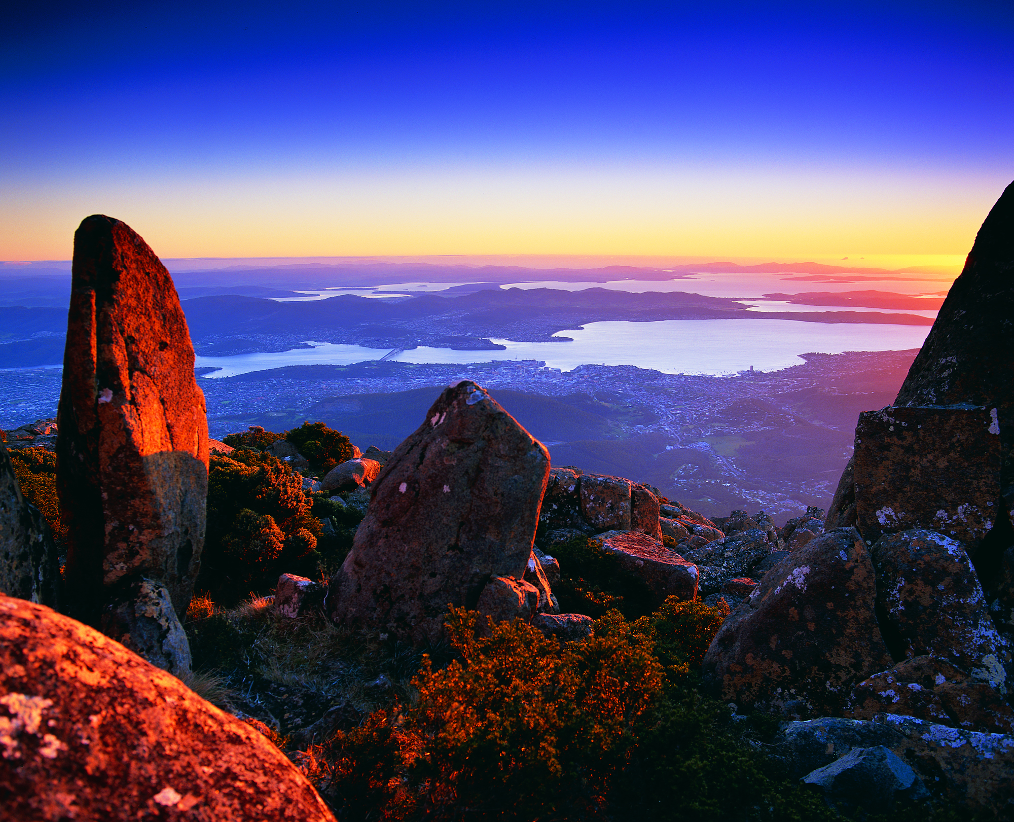
Before then at 10.44am I walked past a turn off: Mt Louis Road. There was a lump up in the sky on my right.  Maybe another time it might be pleasant to see what is up there and to look at the view – which is probably a spectacular 360 degree outlook along the Derwent River, the D’entrecasteaux Channel and Bruny Island.

As I panted up the final hill, I heard the thwack of balls and realised the fencing I could see in the distance amounted to a tennis court.  A tennis court!  Ye gods! Out here in the bush and miles from anywhere?  Yes it was.  Two women were slamming the balls up and down the court.  Their two cars were the only vehicles in sight.

10.52am: I reached the Pearsons Point Reserve and was feeling rather chuffed.

20150224_105032

I wandered around the site which included a disused gun emplacement and a couple of large historic cannons.  Guess Pearsons Point would have been the first line of defence against any Russian threat (which seemed to be the main thought through the 19th century).

20150224_105306 20150224_105429

Note: the bump behind the gun emplacement and tennis court is Mt Louis. A large white edifice on the end of the Point (on the other side of the cannon) appeared to be a marine navigation beacon.

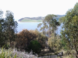
In front of me to the right hand side of the Point, the D’entrecasteaux Channel separated the mainland of Tasmania from Bruny Island (famous for its fresh produce such as cheeses, smoked fish and meats, berries, premium wines, and local oysters).

20150224_105437 20150224_105647

I was very surprised how close Bruny Island (Dennes Point) was to this part of Tasmania’s mainland.  So close.  So accessible.  And its green hills and the white sandy Jetty Beach were most attractive.

On the other side of Pearsons Point to my left, the Derwent River flowed out to Storm Bay and then onto the ocean. I could see the Iron Pot and Cape Direction at the southern tip of the South Arm peninsula on the eastern shore of the River.

I found a pleasant picnic table and at 11am ate half my lunch under a small cluster of gum trees hoping no branches would be shed on my head.  Feeling on top of the world. The sun was out and the tiniest of breezes moved through the area.  Past the trees I could see motoring boats leaving white streams behind them as they sliced through the River. I looked back northwards to the Alum Cliffs between Taroona and Kingston.

20150224_112527

With a little sadness I left Pearsons Point at 11.25am.

By 12.40pm I was passing the Hidden Cove turnoff, at 1.05pm I reached the Fossil Cove Drive junction, at 1.25pm I walked across the intersection with Treatment Plant Road, and at 1.30 I stopped for a moment at Suncoast Drive.  I looked at the one bus stop (there wasn’t a pair one either side of the road) and it did not have a timetable attached to the post, so I continued walking to Wells Parade.  I had been told this was a long road, and now I know it is.

20150224_133752

I stopped and waited for a bus which didn’t come (the first in my entire travels) and left and walked up and down and up and downhill until eventually I was back parallel to the Blackmans Bay Beach.  I sat for a while at the beach soaking in the atmosphere, smelling the salt, and relishing the fact my feet were having a rest.  When the time came (according to my bus timetable), I walked to the bus stop where I had alighted hours earlier in the morning, and before long Metro bus number 85 arrived.  After passing via the Suncoast Drive bus stop that I had looked at earlier in the afternoon on arrival back in Blackmans Bay, Maranoa Heights, other suburbs, and Kingston, I was back in Hobart city by 4pm feeling elated.  Stage 13 was over.

A new milestone marking the 13th stage of my walk along the Derwent River: I reached the mouth on the western shore. Whoppee Doo!!

Yesterday, I completed the first part of my walk along the Derwent River: an exciting achievement.

Last August I started walking from the mouth of the River at Cape Direction on the tip of the South Arm peninsula and now, at the end of February, I have completed the distance from that mouth to the Bridgewater Bridge and back on the western shore to Pearson’s Point near the settlement of Tinderbox.

On the 8th stage mid-November, I had the first major milestone when I finished the walk from Cape Direction to the Bridgewater Bridge. This 13th stage was the culmination of walks from the Bridge back to the mouth on the western side of the River.

During yesterday’s walk, I covered about 5km of the length of the Derwent River.  By my reckoning, the total distance of the Derwent River on the western shore from the Bridgewater Bridge to the mouth is 38 3/4 km.

For Stage 13 yesterday, I needed to walk to Pearson’s Point from the bus stop where I finished on Stage 12 and then, on reaching my goal, I needed to retrace my steps back to Blackmans Bay to connect with a bus that could return me to Hobart.  This distance was approximately 17 kms. I have now walked at least 171km not counting getting to and from buses.  But when the walks are staggered over time, this number does not mean much.

The highlights of the walk to Pearson’s Point were mostly small and natural: rosehips, green rosellas, hum of bees, resting sheep, and the taste of delicious ripe blackberries along the way.

20150224_103540

I was surprised how close the northern part of Bruny Island was to the mainland of Tasmania (almost felt like I could swim across the D’entrecasteaux Channel) and I felt overwhelmed by the staggeringly expansive and grand views across and up and down the Derwent River.

20150224_114137

The fun part was singing (including mixing up the words in my excitement) Handel’s Hallelujah chorus (from The Messiah) at the top of my voice when I passed a large sign with the words SING. You can listen to a superb version performed in 2012 by the Royal Choral Society at the Royal Albert Hall in London England at https://www.youtube.com/watch?v=IUZEtVbJT5c

https://www.youtube.com/watch?v=IUZEtVbJT5c

Over the next few days I will write up the journey and the discoveries of Stage 13’s walk.  Then I will be looking towards a long main road walk from the Bridgewater Bridge at Granton to New Norfolk which I expect to undertake in the next couple of weeks.  Once I have reached New Norfolk I will be on the way to Lake St Clair, the source of the Derwent River.