Tag Archives: track

Trackless under the powerlines

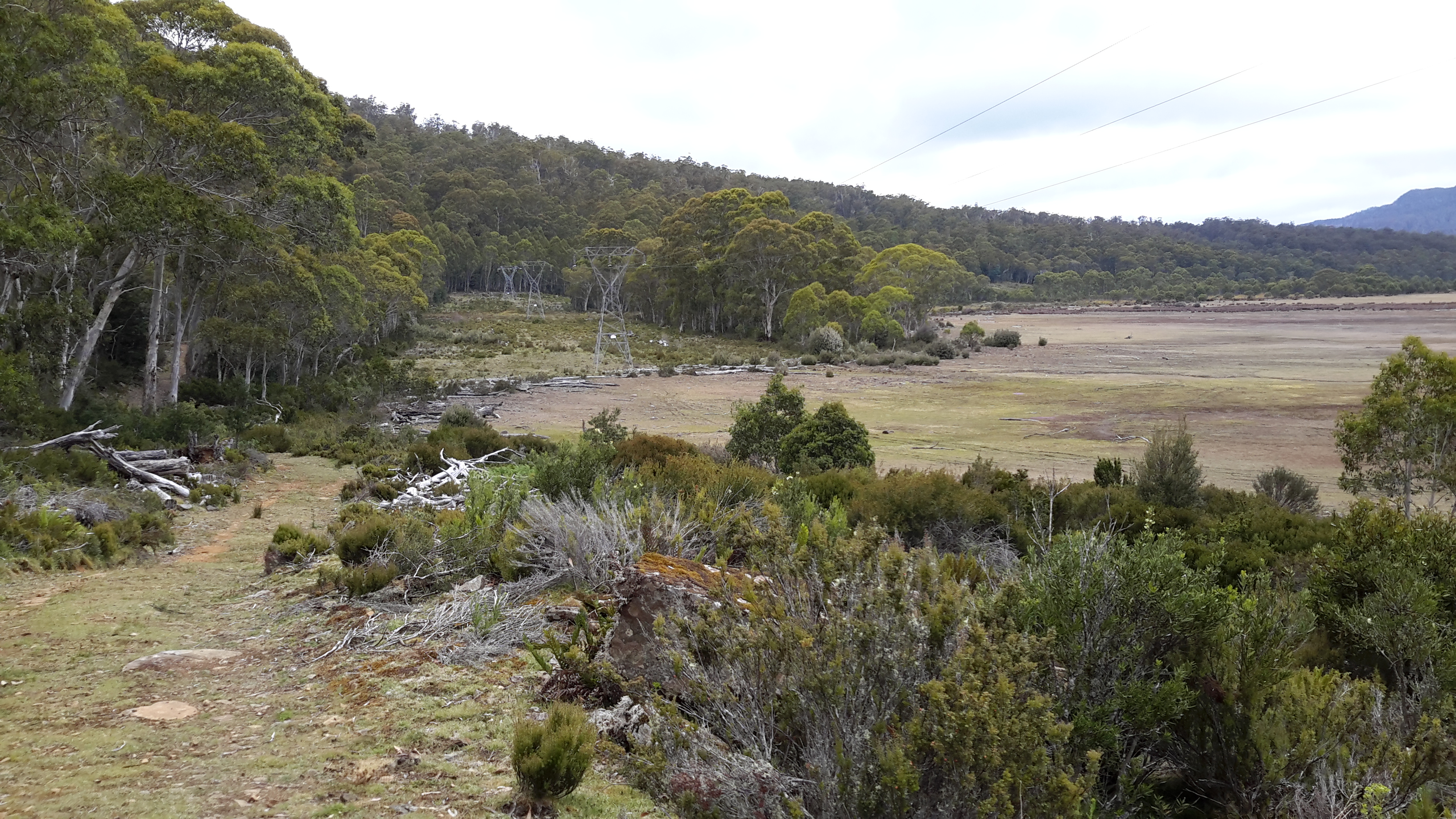
My map of the Lake King William area showed the 4WD vehicle Switchyard Track restarting on the northern side of the plain on the far side of the power line ‘clearway’.  I believed if I walked westwards under the powerlines then eventually I would see clearings through the trees and locate the track.

20160103_090805.jpg

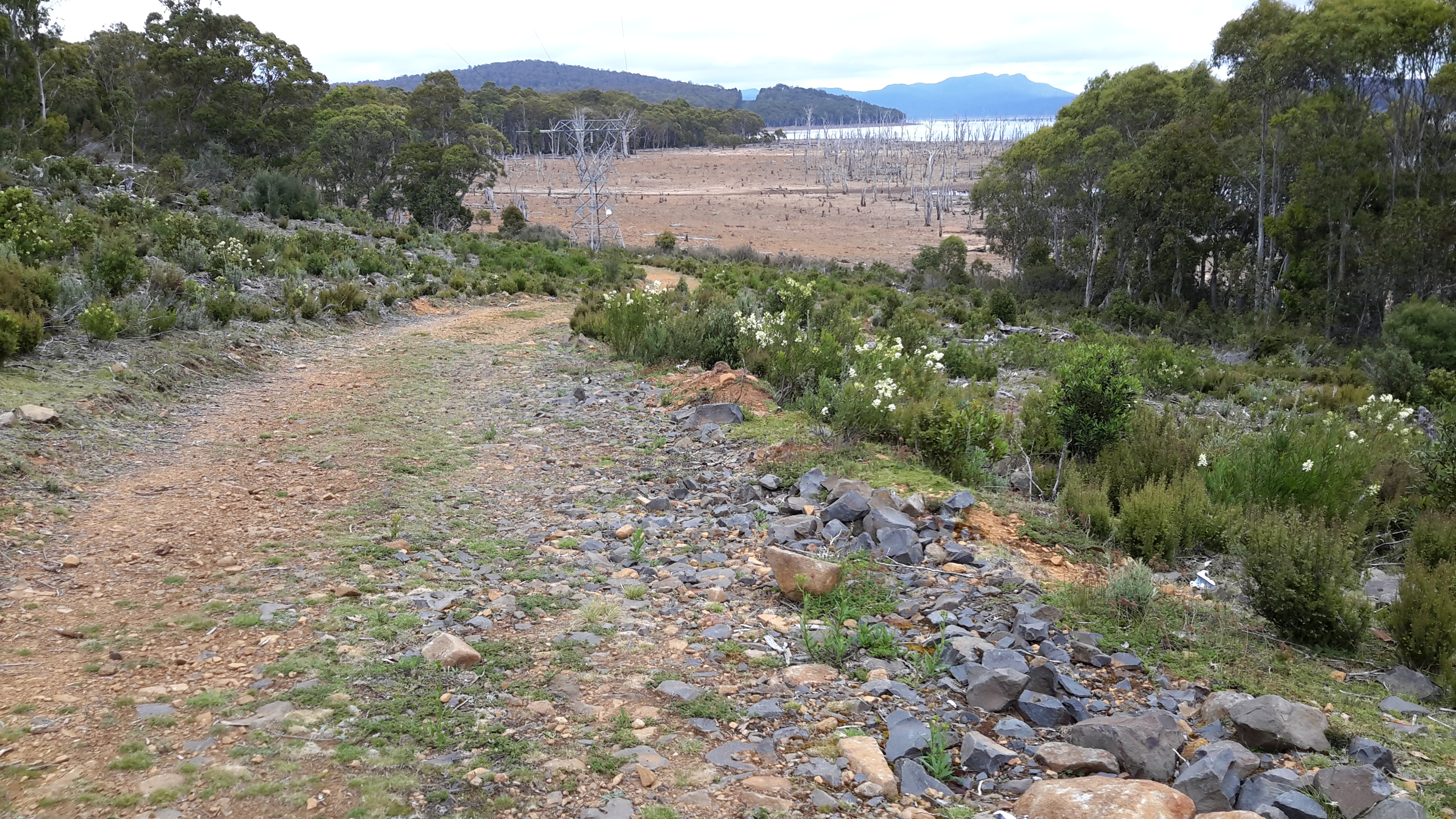
In my previous post I introduced the deeply compressible mossy plant that prevented rhythmic walking.  All the pale green vegetation in the photo above is that soft spongy moss.  Admirably beautiful to behold but challenging to walk across.

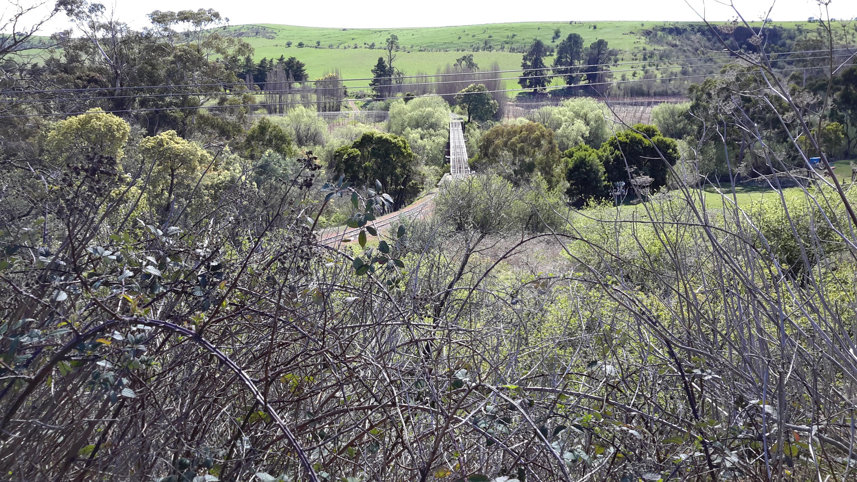
Our world is full of thoughts about ‘mindfulness’ and ‘being present’.  Walking this section required 100% concentration. I was forever present as I focused on the ground checking where my next step might be placed. I stumbled along for seemingly ages until I noticed a row of rocks unnaturally placed at the tree line.  That had to be a marker for the track.  It was. Relieved, I was soon following the track westwards.  I remember taking many photos of the dense forests either side of that track, but obviously I did not properly make the click because there are no photographs. I remember the air was clean and cool. Delightfully fresh. Eventually the track emerged from the forest and continued for a short distance next to the plain. The photo below which looks back inland, clearly shows the extensive depth of that plain.

20160103_091132.jpg

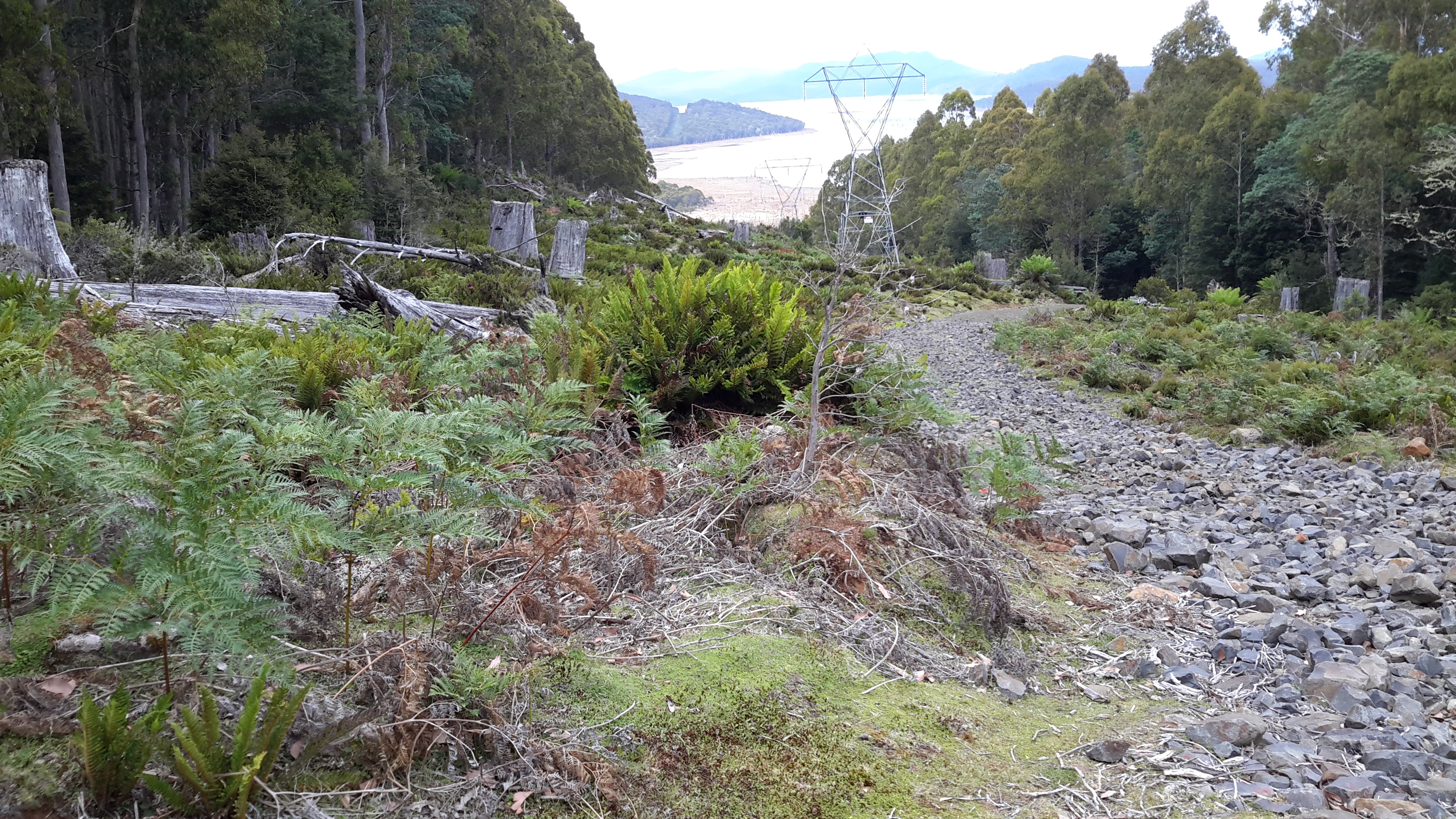
Still parallel to the plain, the track ran westwards towards the water of Lake King William.

20160103_091137.jpg

Soon I was surrounded by forest which, in normal climate conditions, would be a wet forest.

20160103_092129 20160103_092145

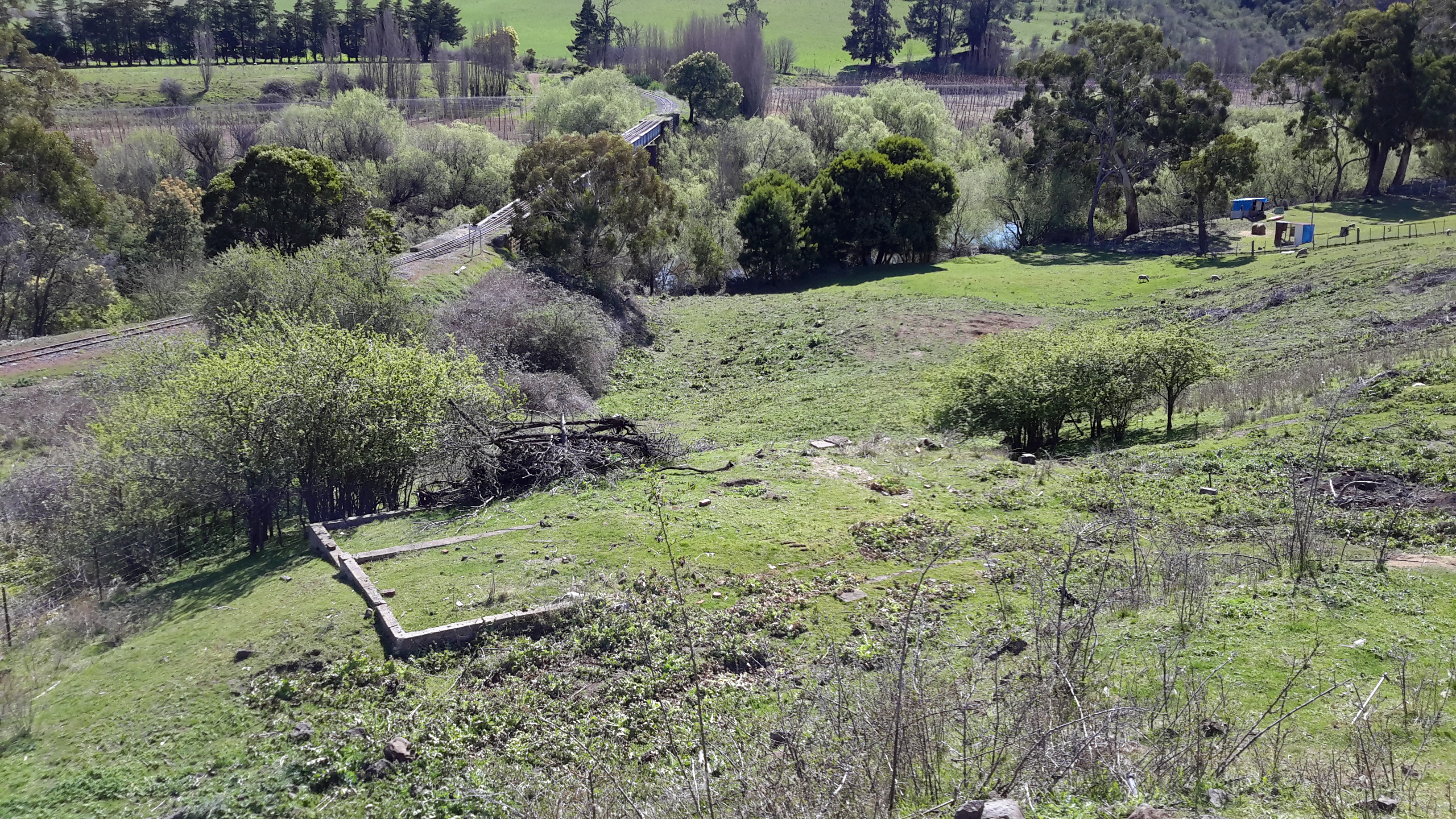
Occasionally I could look southwards and see out over the plain to Lake King William.

20160103_093105

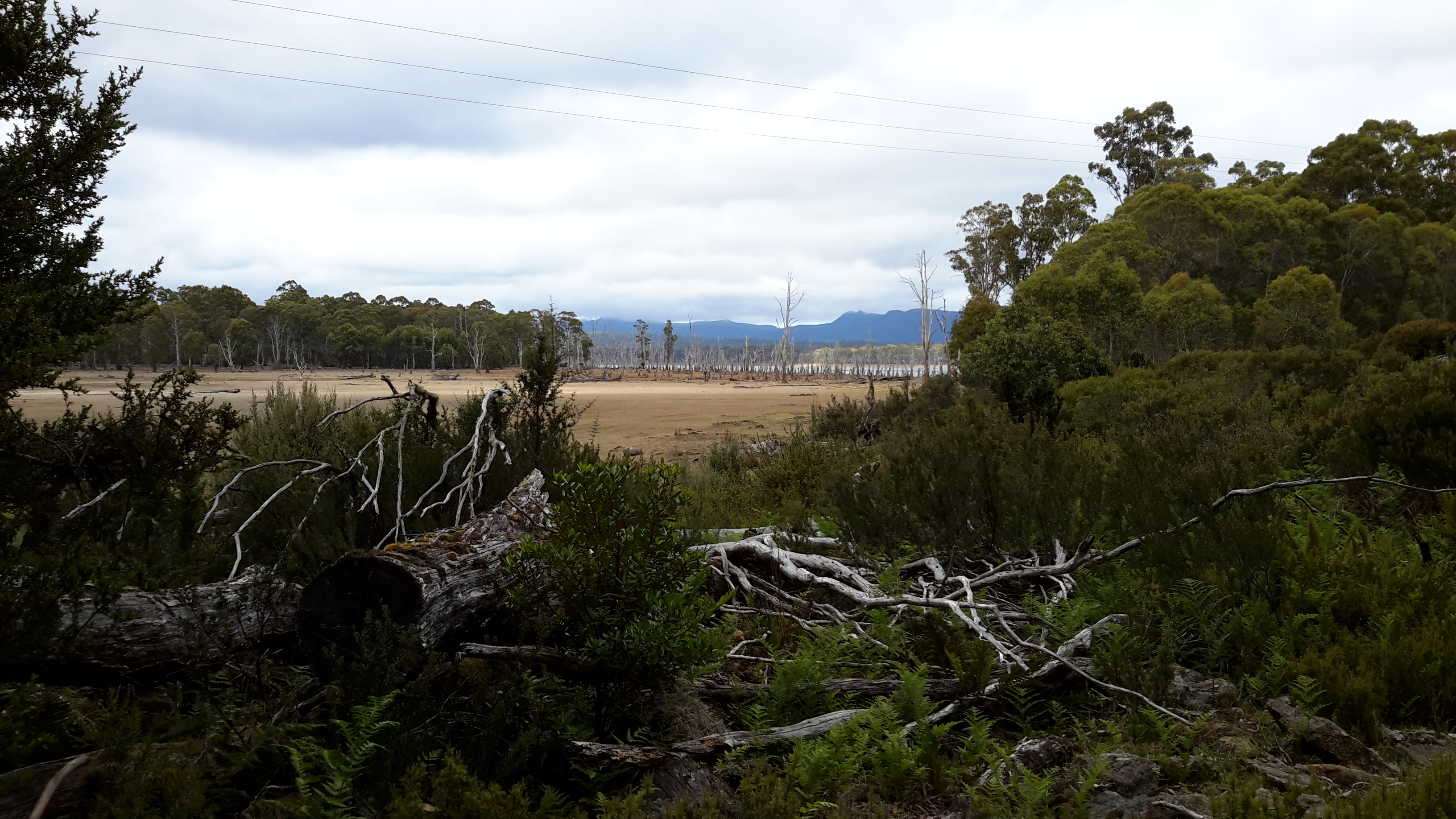
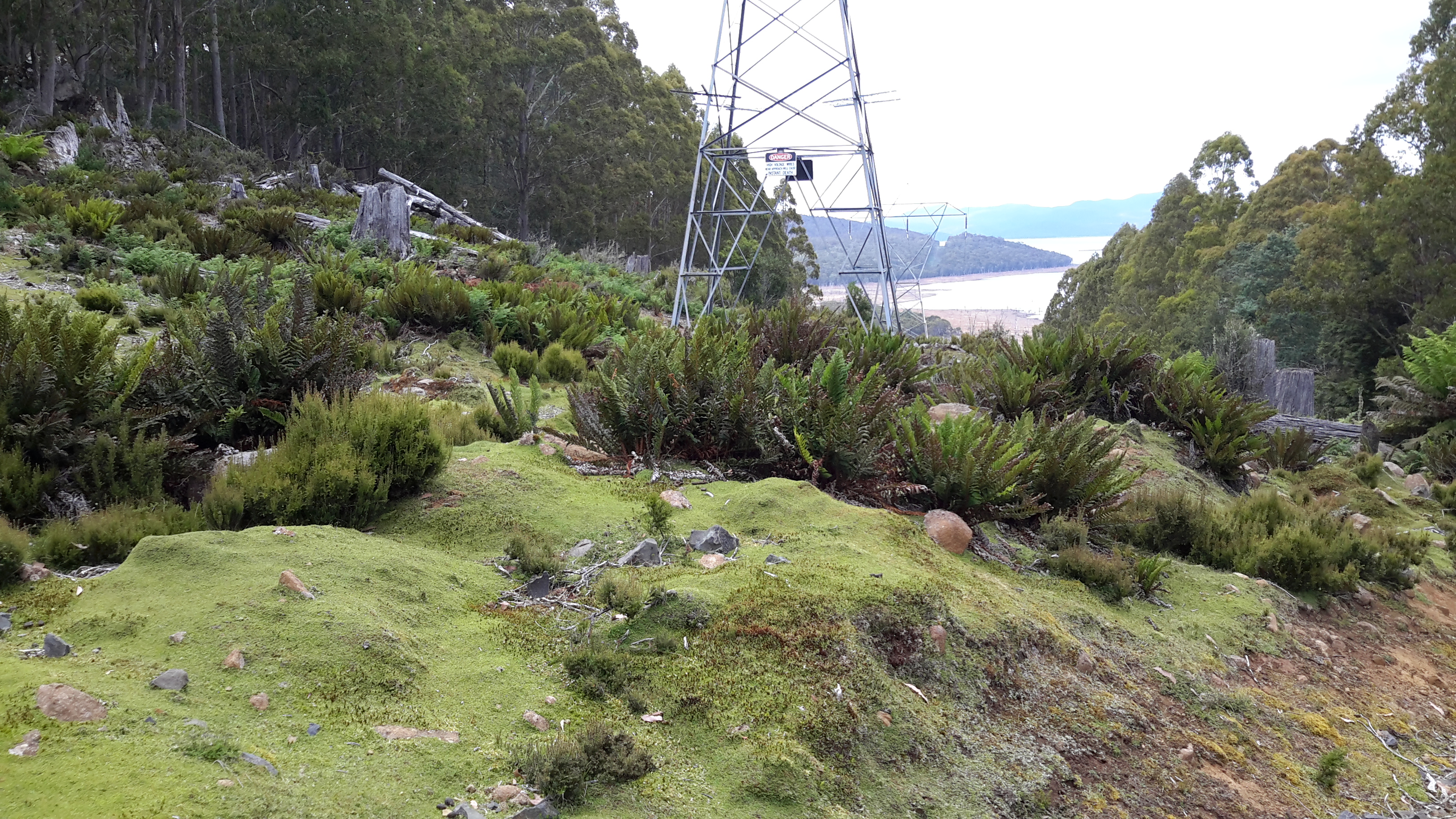
Eventually I found great vantage points to look back inland.  I suspect that had I been able to walk across the plain to this point, I would not have needed to battle through the button grass, moss and spiky plants.  But I remembered this spacious landscape might, on other days and after considerable rain, be a sheet of water.

20160103_093447 20160103_093450

20160103_093455

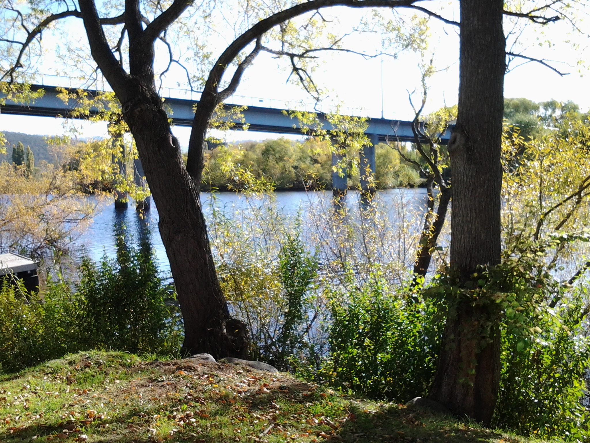
A while later I could see the Derwent River flowing into the northern end of Lake King William.

20160103_094120

20160103_094225

Then I began the uphill climb on, what the maps marked as, an incline topping 800 metres. I realise that the Lake and river would not be at sea level, but in my mind I wanted the exaggeration because it made me feel like I had achieved a major climb once I reached the top.  Silly, I know.  But these are some of my inconsequential mind games.

20160103_094625

20160103_103642.jpg

20160103_103256.jpg

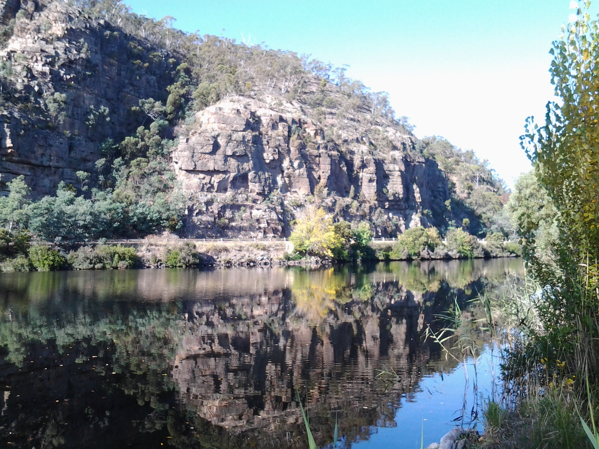
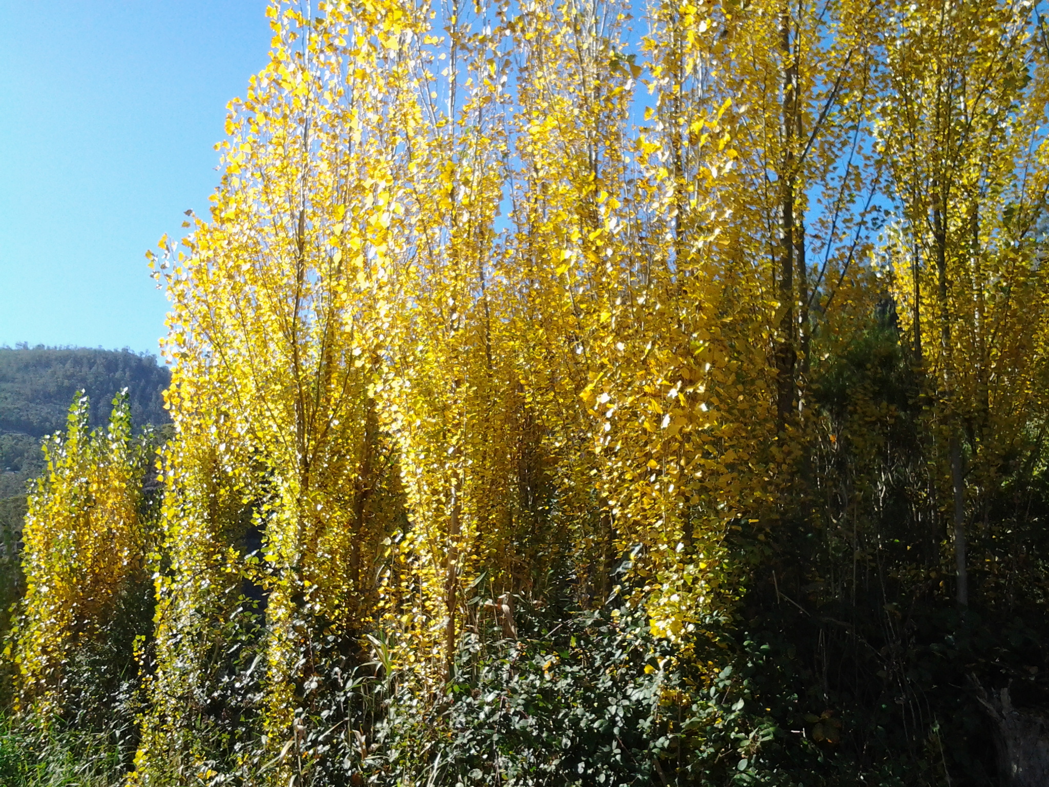
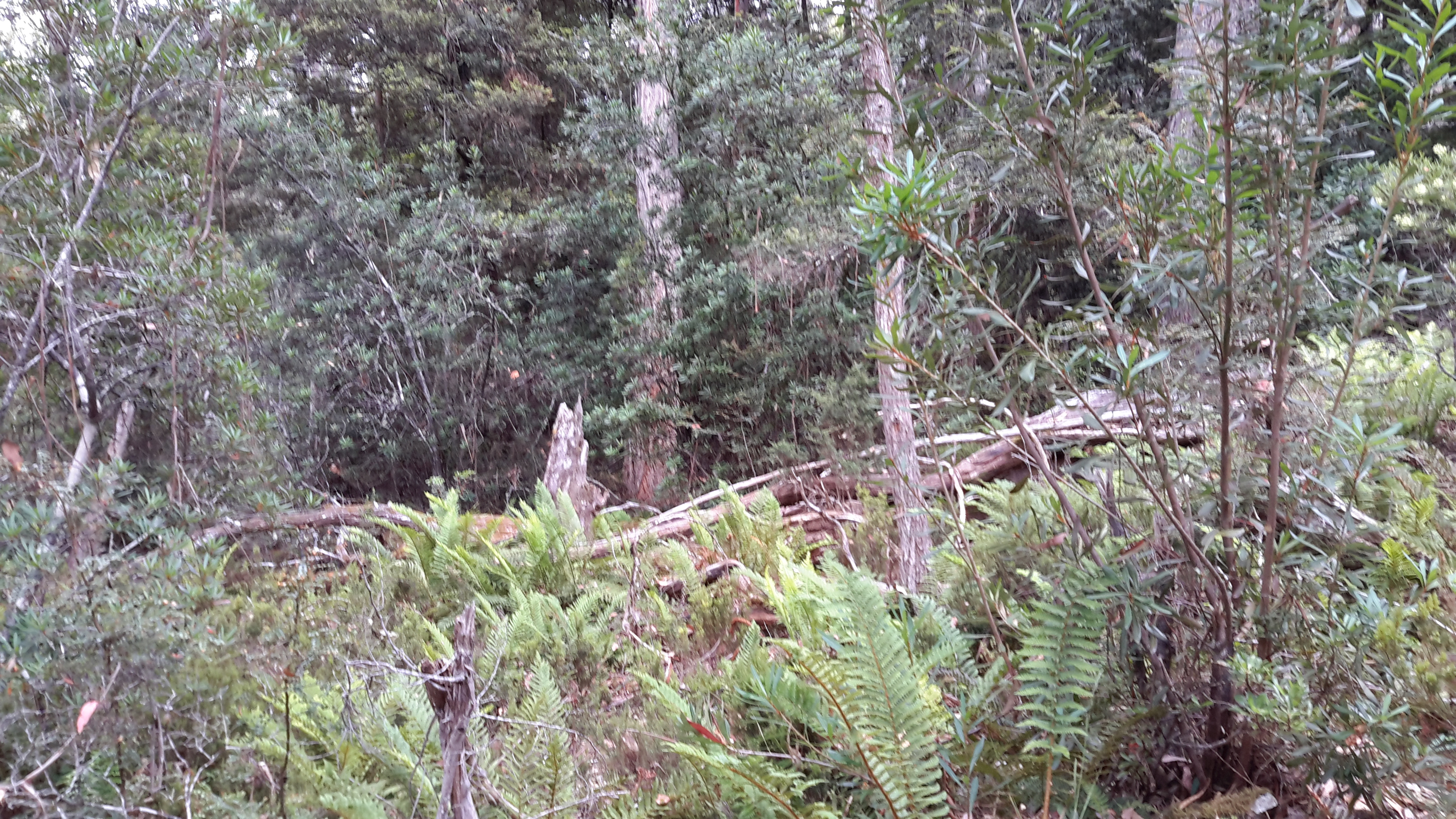
On the way up I deviated through a complex rain forest. Gentle. Beautiful. In the second photo below the Derwent River can be seen as a washed out blue line through the trees – my tablet camera cannot cope with lighting extremes.

20160103_095126

20160103_095353

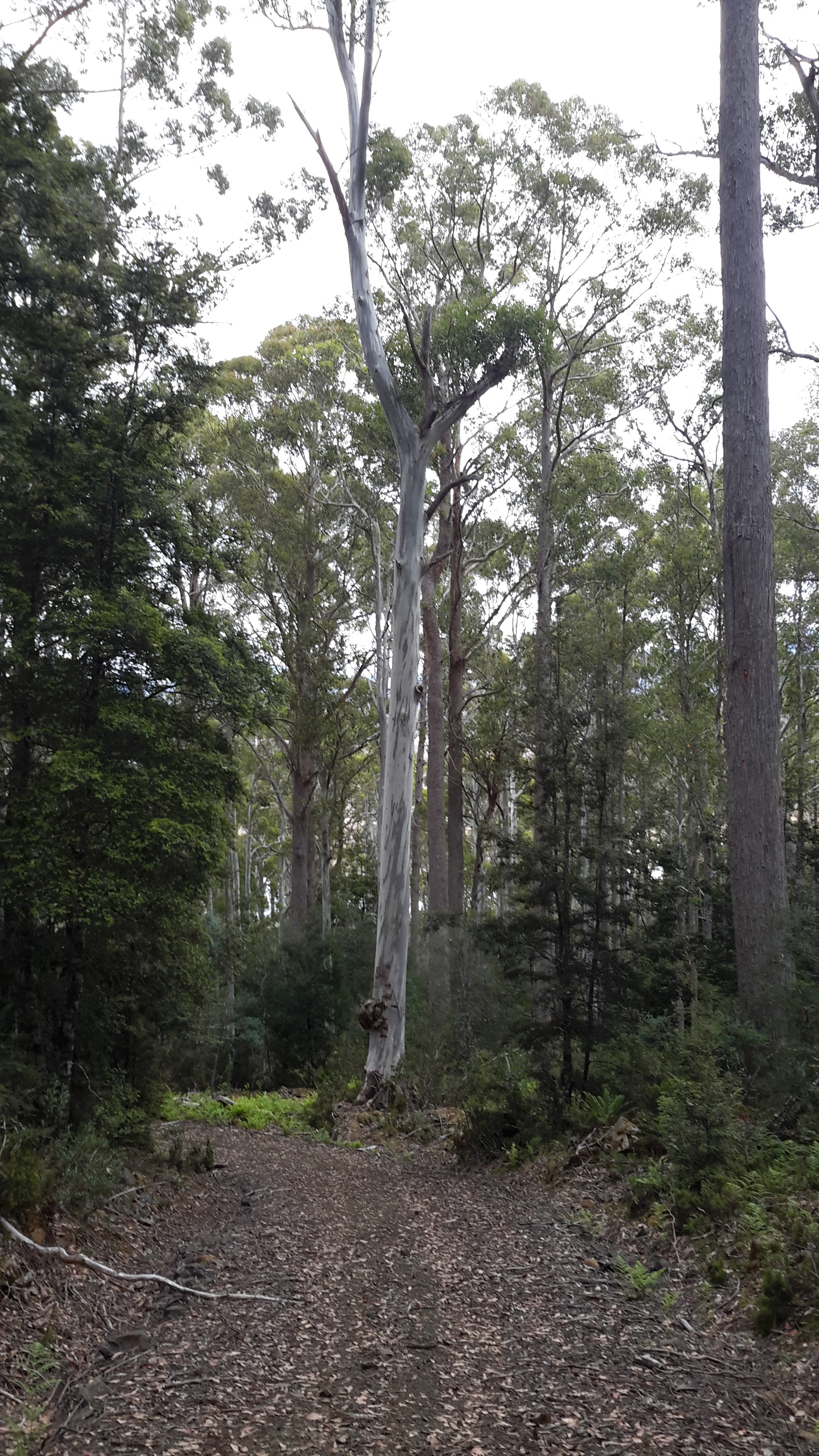
Majestic tall straight trees amazed me at every turn.

20160103_100523

20160103_101147

By placing one foot over the other and enjoying the bush sounds, the top of the hill was gained.  What an extraordinary morning had passed: from starting the day packing up the tent and collecting fresh Lake water to drink, to battling my way across challenging vegetation, farewelling Lake King William, reuniting with the undammed Derwent River, to climbing a relentless hill with all the unexpected visual pleasures that provided.  I felt clean of mind and spirit. Refreshed. Alive. And grateful.

The disused railway line

The last remnants of the old railway line crossed the road as I walked away from the bridge over the Derwent River on the edge of the area known as Macquarie Plains. I hope the blue sky and the bright green hilly paddocks in the first photo below makes your heart ‘sing’ as they did to mine. And note the line of fence forming a lace-like barrier between land and sky at the top of the hill.

20150918_121809 20150918_121827

The line continued on westward.

20150918_122438 20150918_123014

As I walked higher up the road, I could see the track crossing the Derwent River yet again.  Then it curved away permanently from the River.

20150918_123145 20150918_123341

Between the bridges: Stage 14 of my walk along the Derwent River

The achievement yesterday was to walk from the Bridgewater Bridge to the New Norfolk bridge on the western shore of the Derwent River.

I set off from home before the sun was up and I found Hobart was quiet when I arrived at the city bus mall.

20150413_070843

Then I bussed to Granton and alighted from the bus at the intersection with the Bridgewater Bridge causeway.

20150413_074852

From Granton I walked north-west then west towards the inland town of New Norfolk walking mostly along the Lyell Highway and then on a walking track for the last 5 or so kilometres. The morning was freezing and the afternoon warm.  But the sun was out; its hard autumn light made the world seem alive and sparkling. The Derwent River was splendid, often still and reflecting the trees and hills on its surface, under a bright blue sky with the sun shining gloriously.

20150413_140121

I finished my walk at the bridge crossing the Derwent River in New Norfolk.

20150413_145514

During the walk, I covered about 15½km of the length of the Derwent River.  By my reckoning, the total distance of the Derwent River on the western shore from the mouth of the River to New Norfolk is 54¼ km.

My walking distance was approximately 20¼kms.  I have now walked approximately 191¼ kms not counting getting to and from buses, as part of this project to walk along the Derwent River.

The highlights of the walk to New Norfolk were finding the remnants of two clearly visible heritage lime kilns, seeing a family of 6 pelicans, finding the track along the river leading to New Norfolk, and being mesmerised by the spectacular autumn foliage along the walk and especially in New Norfolk.

20150413_140030

I started walking from Granton around 8am and, despite wearing a thick woollen beanie plus a thermal top under my windproof jacket, I was frozen for the first two and a half hours.  It was 8 degrees Celsius at Bellerive when I left home, 6 degrees at Glenorchy and I suspect much less with a wind chill factor along the first part of the walk.  On this basis, I will not be walking further inland until sometime in Spring, and the timing of starting again towards Lake St Clair will depend on the air temperature.

Over the coming week I plan to enjoy writing up the journey and the discoveries of Stage 14’s walk in a series of different postings.