Tag Archives: Pelicans

Seeing the paper mill at Boyer for the first time during the Stage 14 walk, was a thrill

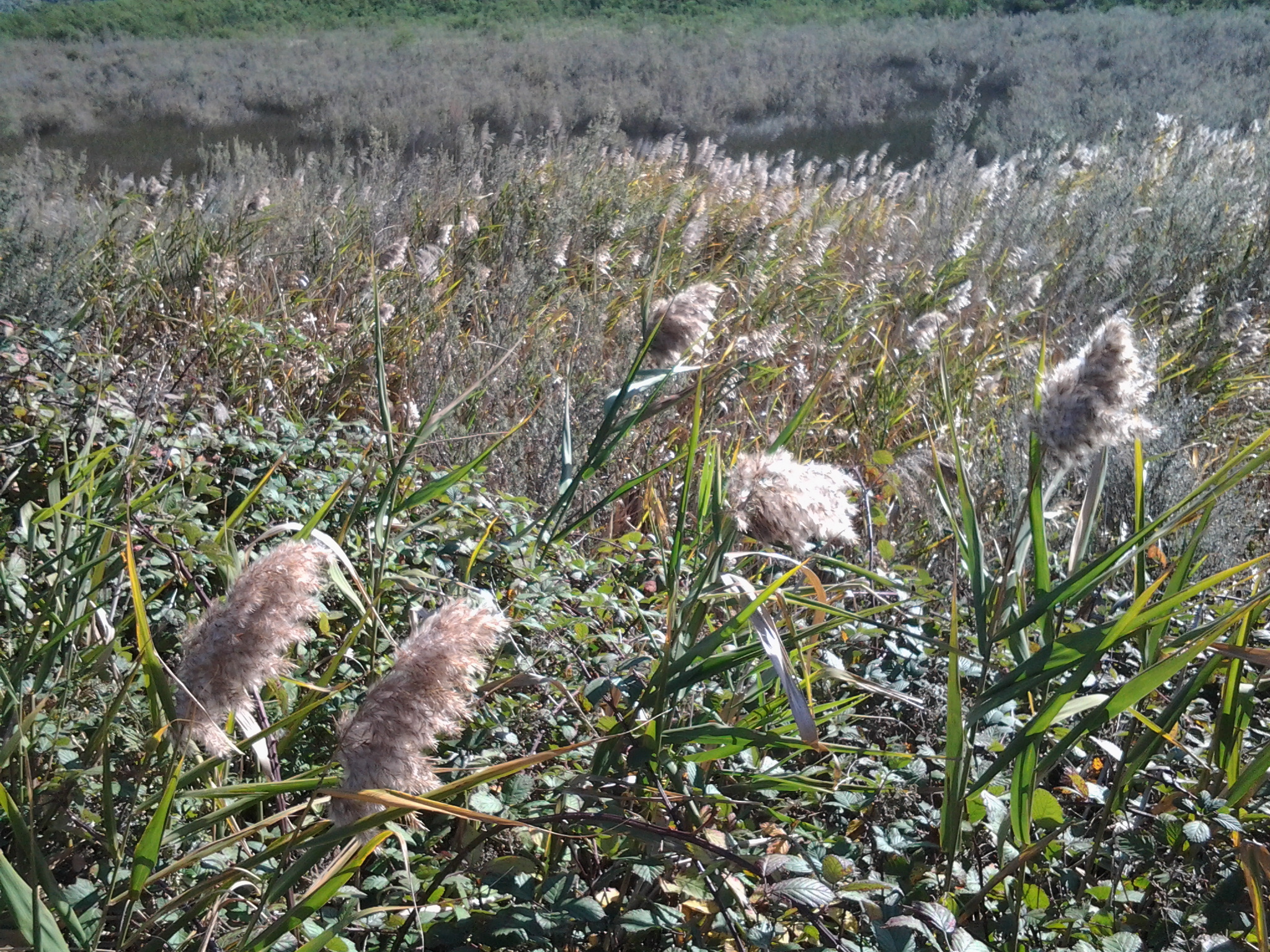
After 15 minutes of walking, following my departure from the powerboat racing arena, the tarred road verges disappeared and weedy grass grew over lumpy and uneven ground to the edge of the Highway. I was forced to stand clear as cars and trucks approached, but there were moments when I could step out a rhythm walking on the Lyell Highway tarmac.  This situation continued for half an hour, however I was pleased that before and after this section I had a good metre or more width of road verge to walk along safely.

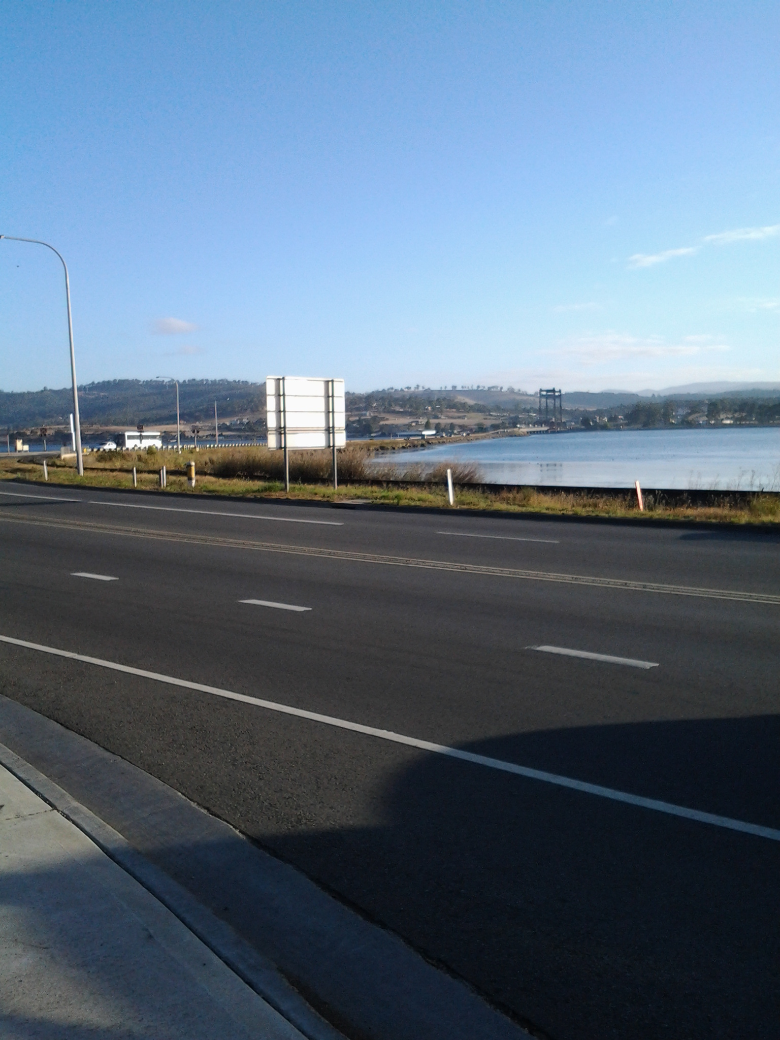
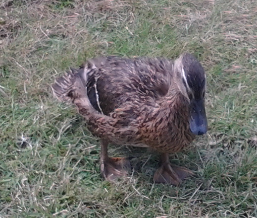
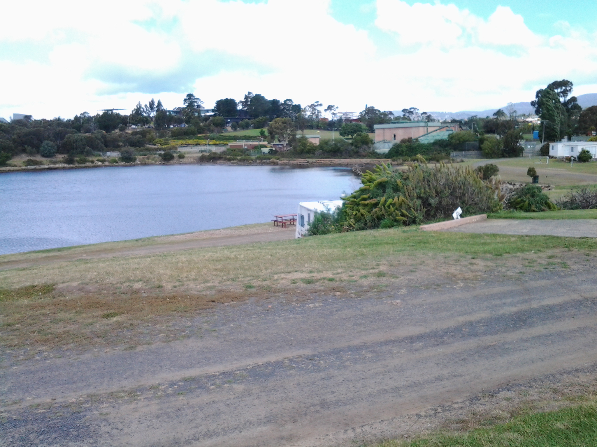
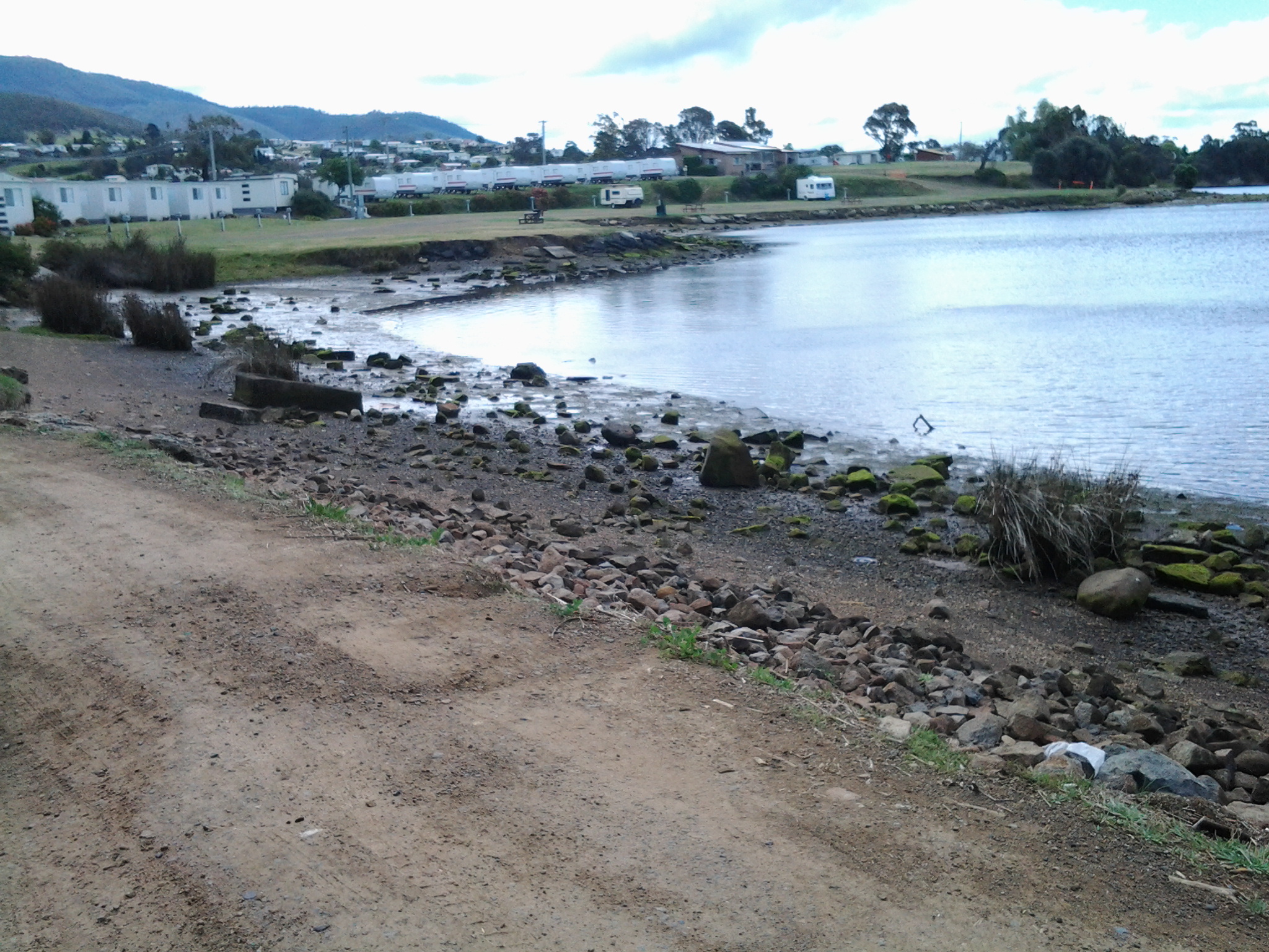
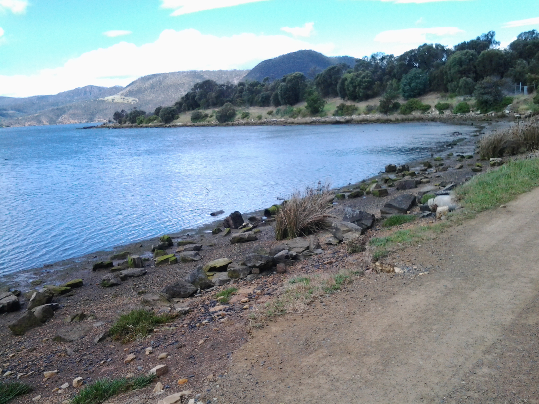
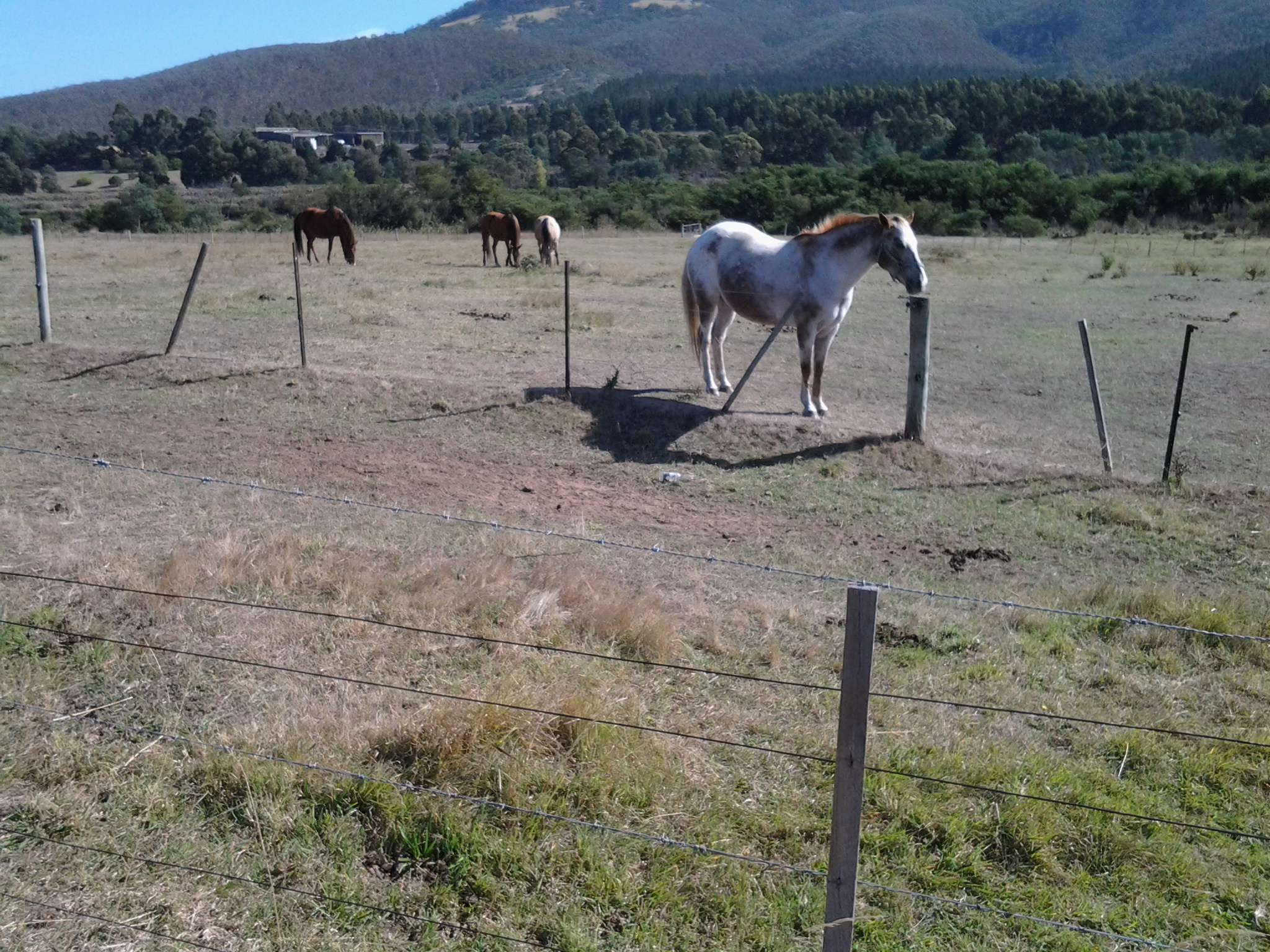
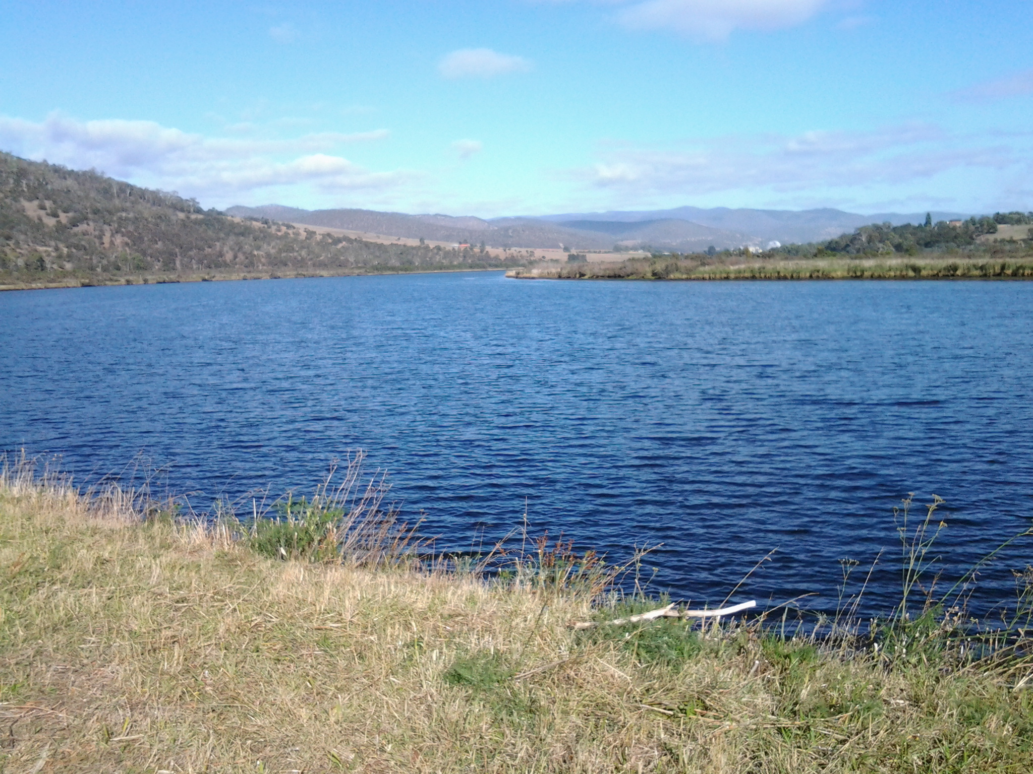
The features that could be seen from the Highway were varied: a feeding family of pelicans across the water; prominent Mt Terra on the other side of the Derwent River with Mt Dromedary behind; occasional tiny creeks lost in verdant grasses passing under the road; vehicle pull-offs at the edge of the road so boats could be entered into the water; corrugated iron cut-out full sized cows standing in a paddock; and a paddock full of horses their heads turned towards the sun.

20150413_100618 20150413_101444

20150413_104129 20150413_110252

20150413_110707 20150413_110741

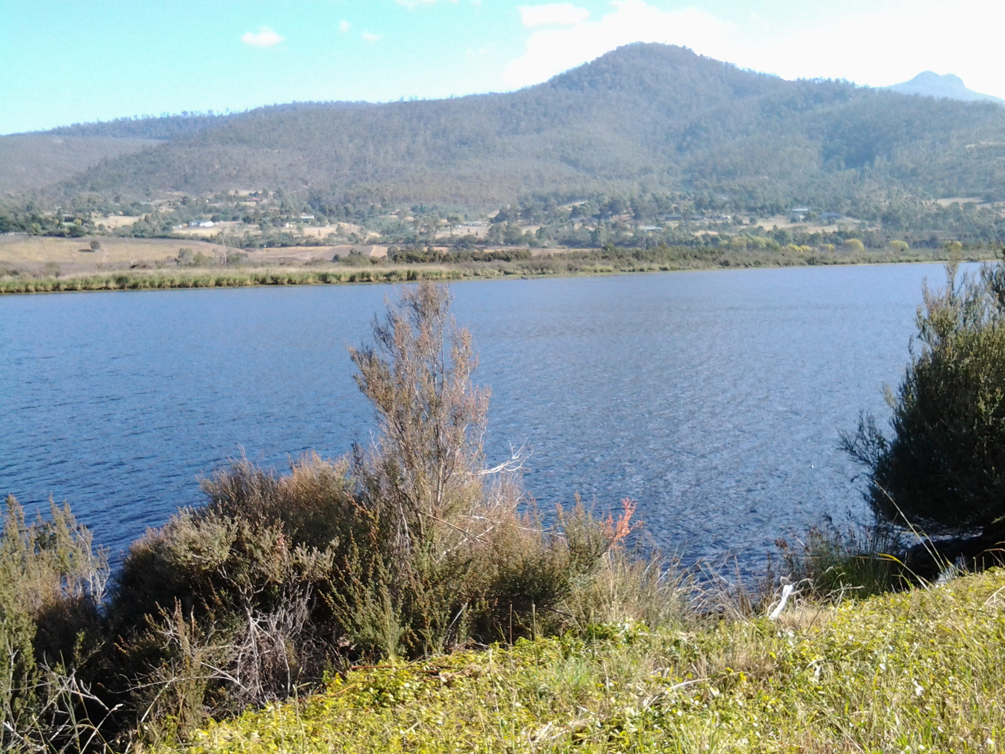
At one part of the walk, in the distance and way south, the peak ‘Collins Cap’ pointed into the autumn sky.

20150413_105456

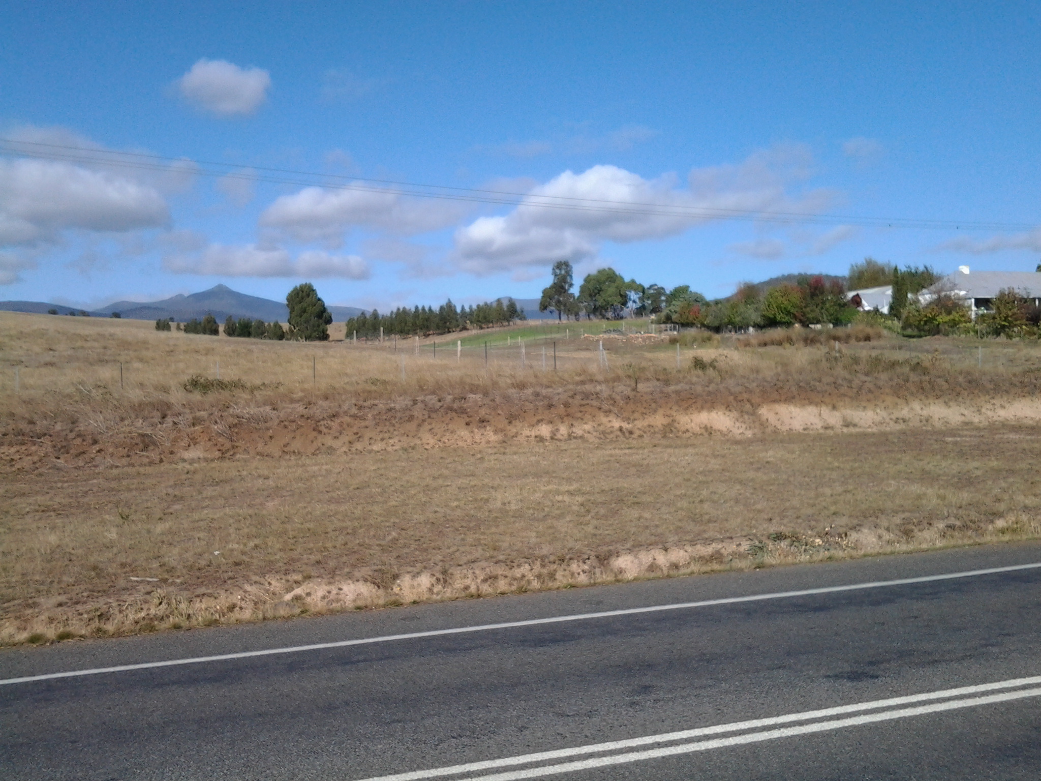
The distant paper making mills at Boyer showed their steaming stacks – an expanse of water, farming land or thickets of trees kept me separated. I knew these mills were very close to New Norfolk so that the larger the buildings seemed, the closer I was to reaching my destination.

20150413_100955 20150413_110604

By 10.50am I had a sense that I was returning to peopled land. Firstly I walked passed a long drive leading to a private house at the bottom of the hill; with long rows of old Radiata pines edging the highway.

A few moments later I passed the sheep grazing property named ‘Sunnyside’ on the western side of the road – a sign announced ‘Sunnyside’ was for sale.  You can make an expression of interest at http://www.domain.com.au/property/for-sale/rural/tas/sorell-creek/?adid=2010785567&sp=1 if interested. In the write up on that site, mention is made that the soils are based on limestone – makes the establishment of the lime kilns further south understandable.

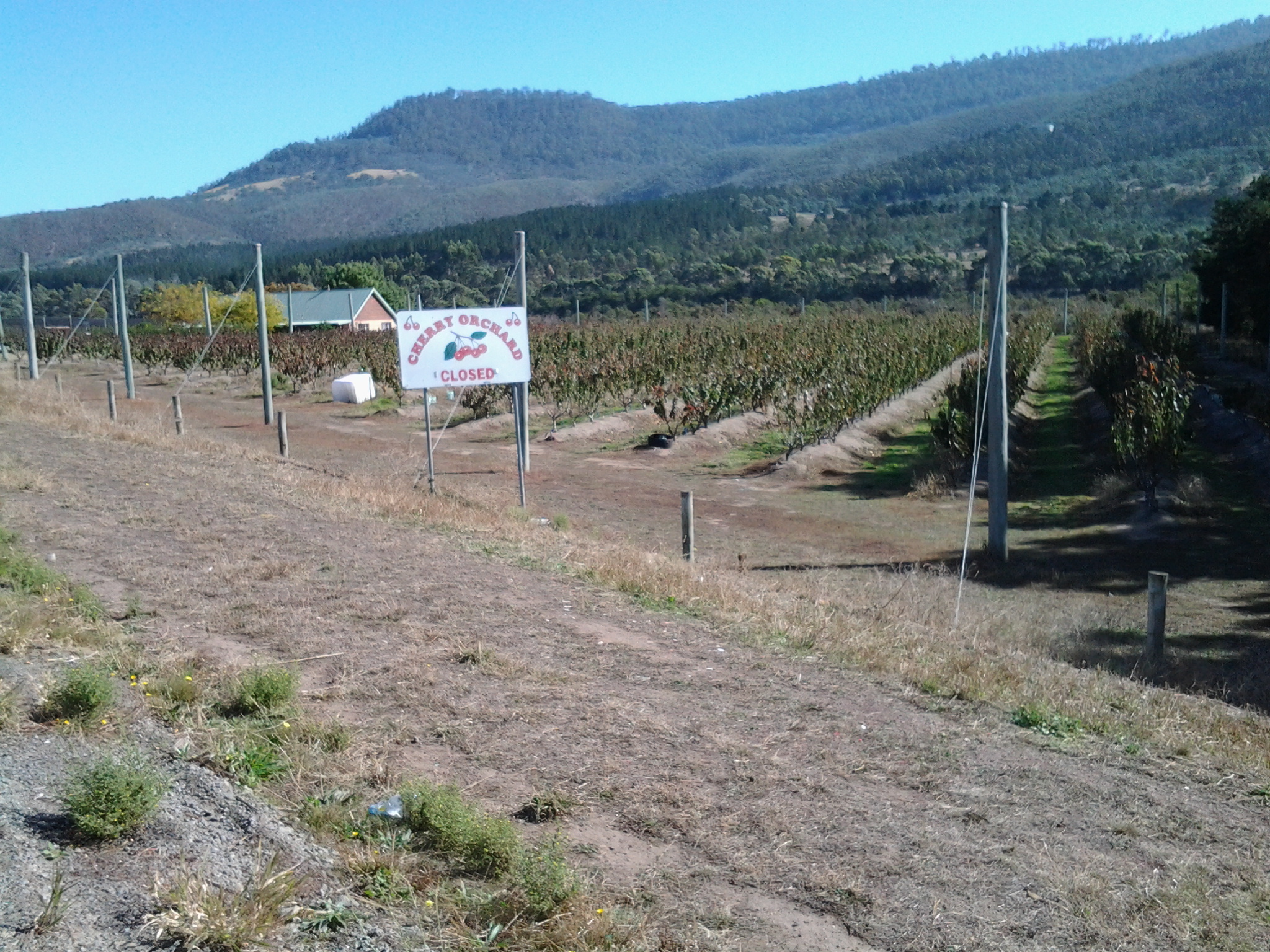
At 10.54 am I reached a large cherry growing orchard on my right.

20150413_105358

Over the road to my left, on the property named ‘Scottsdale’ sat two old buildings which seemed late 19th century in architectural style. The sign on the gate declared this was the Derwent Dorper Stud (Rams), however this seems not to have a presence on the internet.

20150413_105407 20150413_105628

I noticed a Derwent Valley Link bus stop outside Scottsdale and the cherry orchard – for fruit pickers or shearers???  Certainly not for me. I had many kilometres yet to walk. New Norfolk was my destination, and so onwards I continued.

Between the bridges: Stage 14 of my walk along the Derwent River

The achievement yesterday was to walk from the Bridgewater Bridge to the New Norfolk bridge on the western shore of the Derwent River.

I set off from home before the sun was up and I found Hobart was quiet when I arrived at the city bus mall.

20150413_070843

Then I bussed to Granton and alighted from the bus at the intersection with the Bridgewater Bridge causeway.

20150413_074852

From Granton I walked north-west then west towards the inland town of New Norfolk walking mostly along the Lyell Highway and then on a walking track for the last 5 or so kilometres. The morning was freezing and the afternoon warm.  But the sun was out; its hard autumn light made the world seem alive and sparkling. The Derwent River was splendid, often still and reflecting the trees and hills on its surface, under a bright blue sky with the sun shining gloriously.

20150413_140121

I finished my walk at the bridge crossing the Derwent River in New Norfolk.

20150413_145514

During the walk, I covered about 15½km of the length of the Derwent River.  By my reckoning, the total distance of the Derwent River on the western shore from the mouth of the River to New Norfolk is 54¼ km.

My walking distance was approximately 20¼kms.  I have now walked approximately 191¼ kms not counting getting to and from buses, as part of this project to walk along the Derwent River.

The highlights of the walk to New Norfolk were finding the remnants of two clearly visible heritage lime kilns, seeing a family of 6 pelicans, finding the track along the river leading to New Norfolk, and being mesmerised by the spectacular autumn foliage along the walk and especially in New Norfolk.

20150413_140030

I started walking from Granton around 8am and, despite wearing a thick woollen beanie plus a thermal top under my windproof jacket, I was frozen for the first two and a half hours.  It was 8 degrees Celsius at Bellerive when I left home, 6 degrees at Glenorchy and I suspect much less with a wind chill factor along the first part of the walk.  On this basis, I will not be walking further inland until sometime in Spring, and the timing of starting again towards Lake St Clair will depend on the air temperature.

Over the coming week I plan to enjoy writing up the journey and the discoveries of Stage 14’s walk in a series of different postings.

From Lowestoft Bay to Cameron Bay

Before leaving Lowestoft Bay, I looked up through the rain showers to see three Pelicans fishing on the water.

20141125_150144

A temporary stop under a gazebo offered no respite from the off and on again rain nor the fierce wind bursts. By 3.15pm I reached the start of the Berriedale Caravan Park. I followed the road through from Lowestoft Bay to Cameron Bay and was accompanied by a very persistent duck.

The Duck

I was worried s/he might follow me home but after a few hundred metres the duck dropped off the pace.

Before long I was walking away from the Caravan Park on the gravel road towards the Berriedale Sewage Treatment Works.  What a pong hung around this area!

20141125_151751 20141125_152409  20141125_152417

I hurried past the fenced-in nasal offender and around a barred gate designed to prevent vehicular traffic. The sign warning fishermen to be careful indicated to me that public access was acceptable.

By 3.30pm I reached the point where the southern end of Cameron Bay meets with the main flow of the Derwent River. I sat above the water’s edge, admired the views and contemplated where I had been and considered how much further I could travel on the 9th stage.

20141125_153058