Tag Archives: Black Swans

The Derwent River in 1958

Recently a friend sent me a link to an extraordinary 9 minute film that was made in 1958. The film is based around New Norfolk, a town located approximately 35 kms west of Hobart. The Derwent River bends around the edges of the rural town that is now built up on both sides of the river.

Enjoy watching the film ‘Valley of the Derwent’, produced by the Tasmanian government, here. Please bear with the excruciating sound of the music so you can listen to the 1950s style narration. The images start at Granton about 18 kilometres west of Hobart. The voice-over explains the original virgin bush ‘had never known the axe or the plough’ indicating a firm belief in the 1950s that taming the wilderness (a euphemism for ‘removing the bush’) was what humans should do. Regrettably there are still too many people (including governments) who feel similarly in 2020.

Early on you see the black swans on the river. David Walsh owner of MONA has just released a diary entry where he refers to the black swan as the unknown unknowns. Makes for interesting reading – here.

I was fascinated that a composer William Wallace, according to the film,  wrote the opera “The Spirit of the Valley” while he stayed at the historic Bush Inn in New Norfolk. It led me on a merry chase through archives and online resources. However recent academic research indicates this is a myth generated over the years, and that even the writing of one song for an opera while he visited New Norfolk is unlikely.

For long term blog followers, the filmed section on the oast houses may bring back to memory my fascination with those at Bushy Park when I ‘discovered’ the texts on the buildings as I walked west from New Norfolk. Refer here.

It made me think how many years have passed and what a world of difference there is since the film was made. For example, I was six years old when the film was produced yet I noted the clothes being worn have the familiar shapes of those of my life through the 1960s.

‘But it’s the river that captivates the eye, twisting and turning along the valley’, so says the narrator. I would say this was true for the entire 213 or so kilometres of the length of the Derwent River.
 

Another revision: naturally therapeutic images from stages 7-10

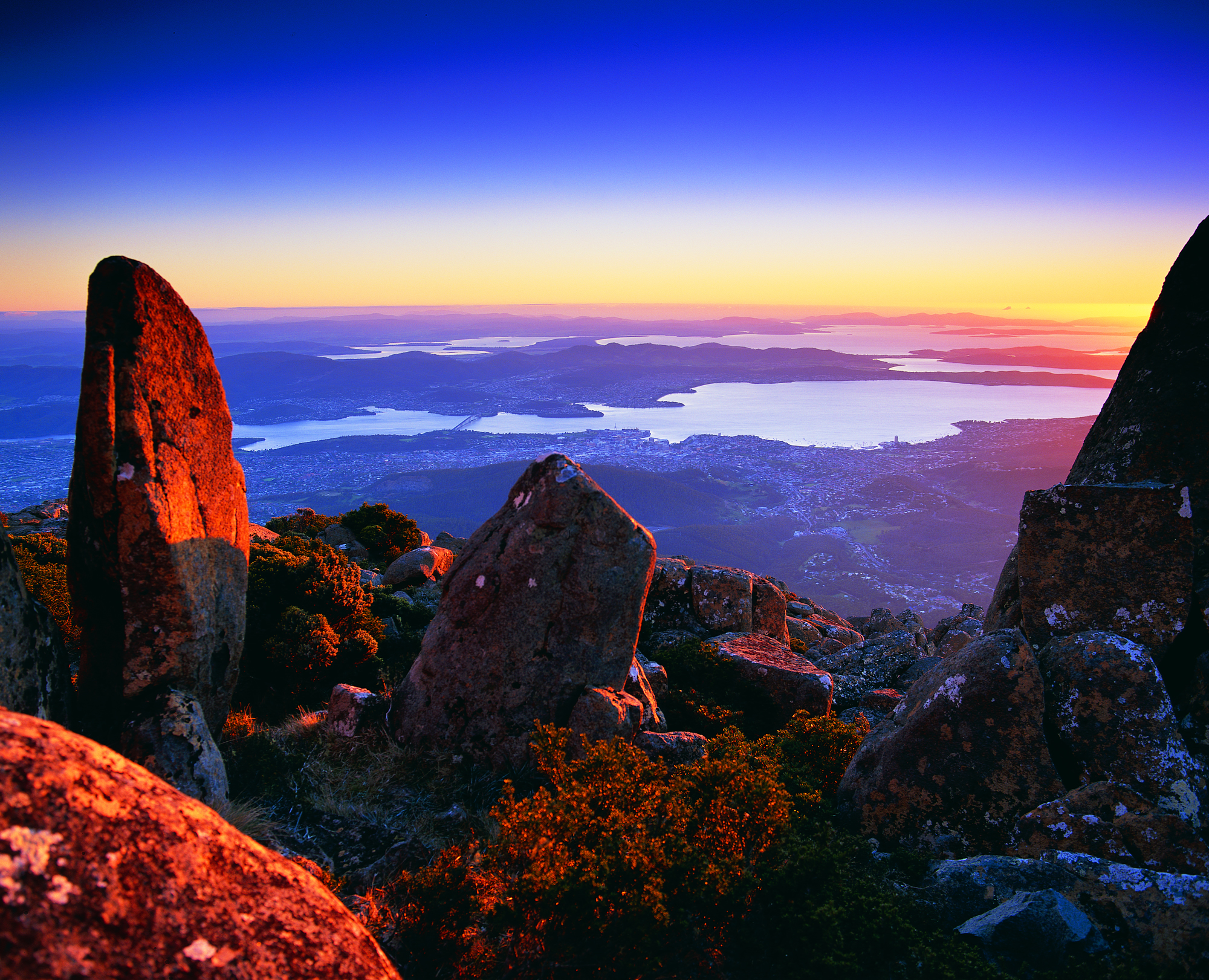
I can’t help myself. Having reviewed my favourite images from the first half a dozen stages of my walk along the Derwent River, I felt compelled to continue looking through my collection from the subsequent walks.  I have chosen photos showing aspects of both the natural and man-made world and I believe all will prompt thinking about the Derwent River, Hobart and its suburbs, and the natural environment. My selection of the images with the most memorable impact for me, from stages 7-10, are given below.

20141031_094126

From the eastern shore looking northwards towards the Bowen Bridge, with a couple of black swans on the river.

20141031_100200

Two plaques ‘opened’ by two great Australian prime ministers near the Bowen Bridge.

20141031_104822

The rusting raw-edged remains of a ship, the Otago, at Otago Bay.

20141031_113132

My enjoyment of any family’s black sheep.

20141031_123000

Heading into Old Beach and gradually leaving Mount Wellington behind.

20141031_132519

The gloominess of the approaching storm when I reached Old Beach.

20141111_092342 20141111_092805

The pleasures of well-made pathways, thanks to local government.

Green Point from new Old Beach

Looking northward across the Jordon River to Greens Point.

20141111_103700 20141111_121906

The glories of native flora. In these instances, it was blooming wattle and a spectacular stand of eucalyptus/gum trees which attracted my attention.

20141111_120752

The remains and the signs of a burnt out car on a back track.

20141111_130523

Knowing that it is still possible to have a laugh when walking.

20141111_131133

Arriving at the Bridgewater Bridge.

20141111_134311

Walking on the western shore of the Derwent River for the first time during this project.

20141125_095438

The house of one of first European settlers, James Austin, at Austins Ferry.

20141125_115047

At Dogshear Point, walking around the Claremont golf course, with the thwacking sound of hit balls crossing the greens.

20141125_110906

Reaching Cadbury’s chocolate manufacturing factory in Claremont.

20141125_143454

The hand-hewn rustic style seat near Connewarre Bay.

20150109_074126
Passing MONA somewhat camouflaged as it nestles into a tiny hill against the Derwent River.

20150109_081644

The mosaics along the foreshore.

20150109_101243

The jumble of boats and boat houses at Prince of Wales Bay.

Hoon tyre marks

Road mark making in Lutana.

20150109_132008

Cornelian Bay’s oil tanks up close.

20150109_153103

The Tasman Bridge.

20150109_155515

The circus had come to town.

20150109_161747

The emptiness of an arena of stands waiting to be filled during wood chopping competitions.

20150109_161339

Reaching the ‘end of the line’ on arrival in Hobart city.

Around Windy Point on Stage 14 of my walk along the Derwent River

Despite having driven and been driven along this patch of the Lyell Highway many times, its shape and character were not well known to me. I guess I have always looked out at the Derwent River and more or less disregarded the land.

The area jutting into the River, causing it to curve from a north west to western orientation, has been labelled Windy Point. I reached the start of this about 8.20 and it was another 15 minutes of walking before I reached its western end. There was some wind and when blowing my dribbling nose, the icy breeze flattened my handkerchief across my face. I sought visual distractions against the cold. A magnificent old gum tree amidst a range of exotic plants was a grand surprise.

20150413_081138

On one hill to my left were half a dozen dappled sheep with twins on their teats.  Sometimes their heads were black or brown but most fascinating was the dinner plate sized brown woollen shapes across their otherwise beige woollen bodies. I was too cold to take a photo of this sight.

In parts, the flowing river was a distance from the road.  Between the highway and the clear water, marshy water plants grew profusely, and access to the River was impossible.  The photo below looks across the Derwent River to Mt Dromedary in the distance and Mt Terra in the left  foreground.

20150413_095018

During my walk around Windy Point, at 8.30am I passed the road turn-off leading to Stefano Lubiana wines and noted there was a Derwent Valley Link bus stop on the highway – which, if you are a tourist without transport, would allow you easy access to the winery and the odd glass or two of some special liquid. I didn’t stop and visit – drinking at such an early hour didn’t seem like a good idea.

20150413_082819

Ten minutes later at 8.40am I was passing the road turn-off to the Derwent Estate Wines.

20150413_083657

I was surprised as I passed the estate to see what seems like late 19th century buildings nestled into the hill.  While the website explains: ‘the historic Mt Nassau property has been in the current owner’s family since 1913, I can find no information about these buildings which appear to be an earlier architectural style.  More research required.

20150413_084136

Opposite, in the River and its edging long grasses, white faced herons, coots, ducks and black swans were at home.

20150413_082210 20150413_082826

The day was offering truly magical sights aided by the intense blue of the sky and the water.

Crossing the Bridgewater Bridge during the 8th stage of my walk along the Derwent River

This stage of my walk along the Derwent from the mouth of the River on the eastern shore was the most exciting one so far, because I was reaching a significant milestone.  By my reckoning, it marked the end of the easiest part of the walk to the source of the Derwent River at Lake St Clair. Accordingly, and to continue a walk with relative ease for a while, I planned to cross the Bridgewater Bridge and walk south to the mouth of the River on the western shore, then to start tackling the challenging kilometres further north next year.

I was a little surprised how special the day seemed, and so it was an easy decision to cross the Bridge rather than waiting to do so on Stage 9.

20141111_131436

I stepped onto the path on the left of the Bridge at 1.14pm and was off the Bridge and onto the Bridgewater Causeway by 1.20pm. The terrifyingly large fast trucks threatened to suck me off the bridge with their speeding surges next to my shoulder (there was a metal fence separating us but the bridge noise and vehicle speed all combined to make the energy around me vibrate fiercely). I removed my sunhat and held on firmly.

20141111_132207  20141111_132150

Except for a small layby, there was no formal walking track beside the Highway on the Causeway, and trying to walk on extremely unsafe and uneven ground beside railings (or none) required extra vigilance.

Looking ahead of the western shore, from the Bridgewater Causeway.

20141111_132218  20141111_132743

The persistently noisy and fast traffic (on what must be one of Tasmania’s busiest roads – the Midlands Highway) and the wind pushing across the Causeway from one side of the Derwent River to the other were constants, and I was determined they would not distract me from getting to the western shore. I was not the only one walking across the causeway; two others were following me across.  So, on the sample of three people, I would say 100% of people experience danger walking across the Bridgewater Causeway.  I didn’t take photos of the really dreadful bits – too busy concentrating on where my feet might go.

I did enjoy watching the dozens and dozens of Black Swans, and looking back at part of the suburb of Bridgewater on the eastern shore.

20141111_132202

And towards the western shore:

20141111_132810

20141111_132913

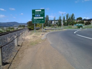
I reached Granton on the western shore at 1.35pm and negotiated myself along the road and across old train lines (this would all be easy if there was no or minimal traffic) all the time beginning to move southwards. Three minutes later I reached the sign indicating a left turn off the Brooker Highway towards Granton South and Austins Ferry.

20141111_134311

As I stepped in this direction I recognised a sign marking the start of the City of Glenorchy.

Occasionally I looked back towards the Bridgwater Bridge, across the railway line that was one a lively link between northern and southern Tasmania.

20141111_133556  20141111_134208

I followed a rough non-path on the edge of the road until a new sign at 1.45pm indicated I needed to take another left turn towards Granton South and Austins Ferry.

20141111_134416

As I walked around the corner, on the right in the distance I could see a hotel; the York Hotel.

20141111_134856

I felt myself glow with delight in anticipation of making this my stopping point for the walk, enjoying a cold beer and meeting the locals. However, as I got closer, two locals were walking towards the bus stop Number 47 located opposite the Hotel.  They let me know that a bus was expected in the next few minutes. My feet hurt, it would be quite a while before another bus would pass this way, and so I decided to forego the pleasures of the pub and start my bus trip home. The locals led me to believe the publican ‘has done a really good job’ and ‘this is a good pub now’.  So, perhaps with friends in the future, I will venture back here for the missed cold one.

I was on the bus at 1.57pm, reached the Glenorchy Bus Mall at 2.15, and caught the Metro bus 694 via Risdon Vale to the Eastlands Shopping Centre at Rosny when it left around 2.30pm.  Most of all I was surprised how long it took the bus from the York Hotel to Glenorchy – almost 20 minutes. That represents a great deal of walking time so it is difficult for me to guess where I can reach on the next Stage 9 of my walk along the Derwent River. I am guessing that somewhere in the suburb of Claremont might be achievable, but who knows! Finding out is what gives me something to look forward to next week when I tackle Stage 9 of my walk.