Tag Archives: lime kilns

From Lime Kiln Point northwards towards Murphy’s Flat

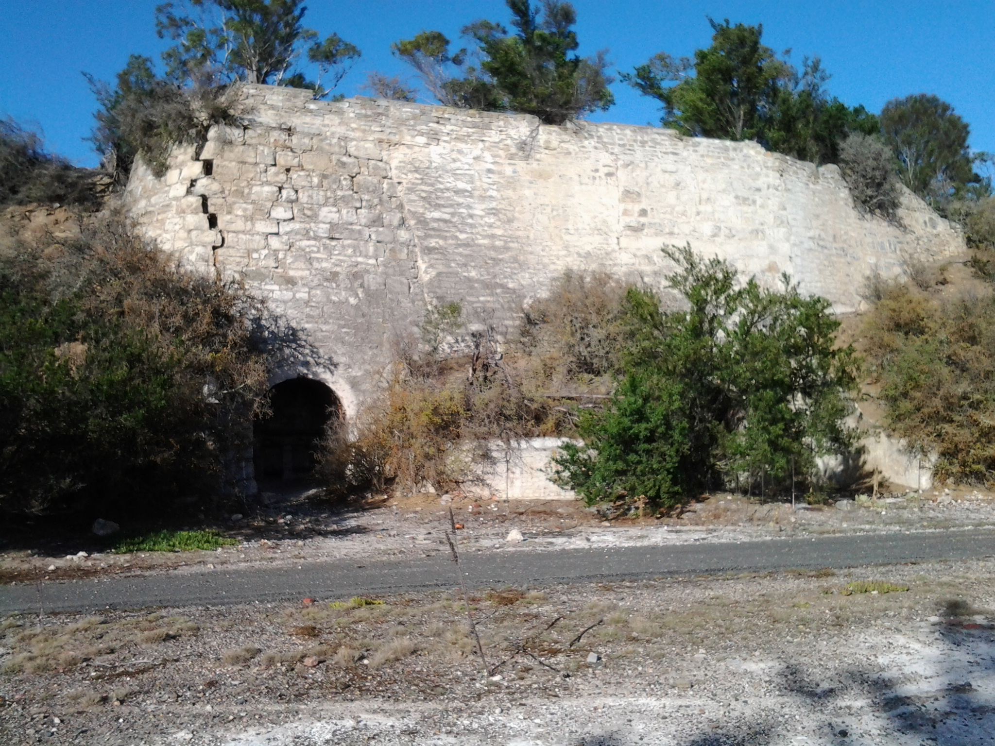
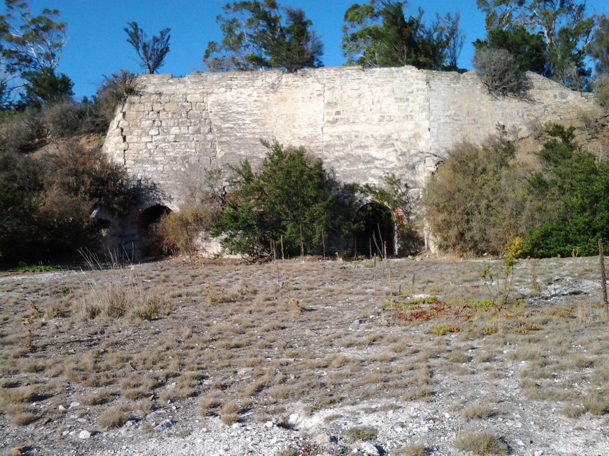
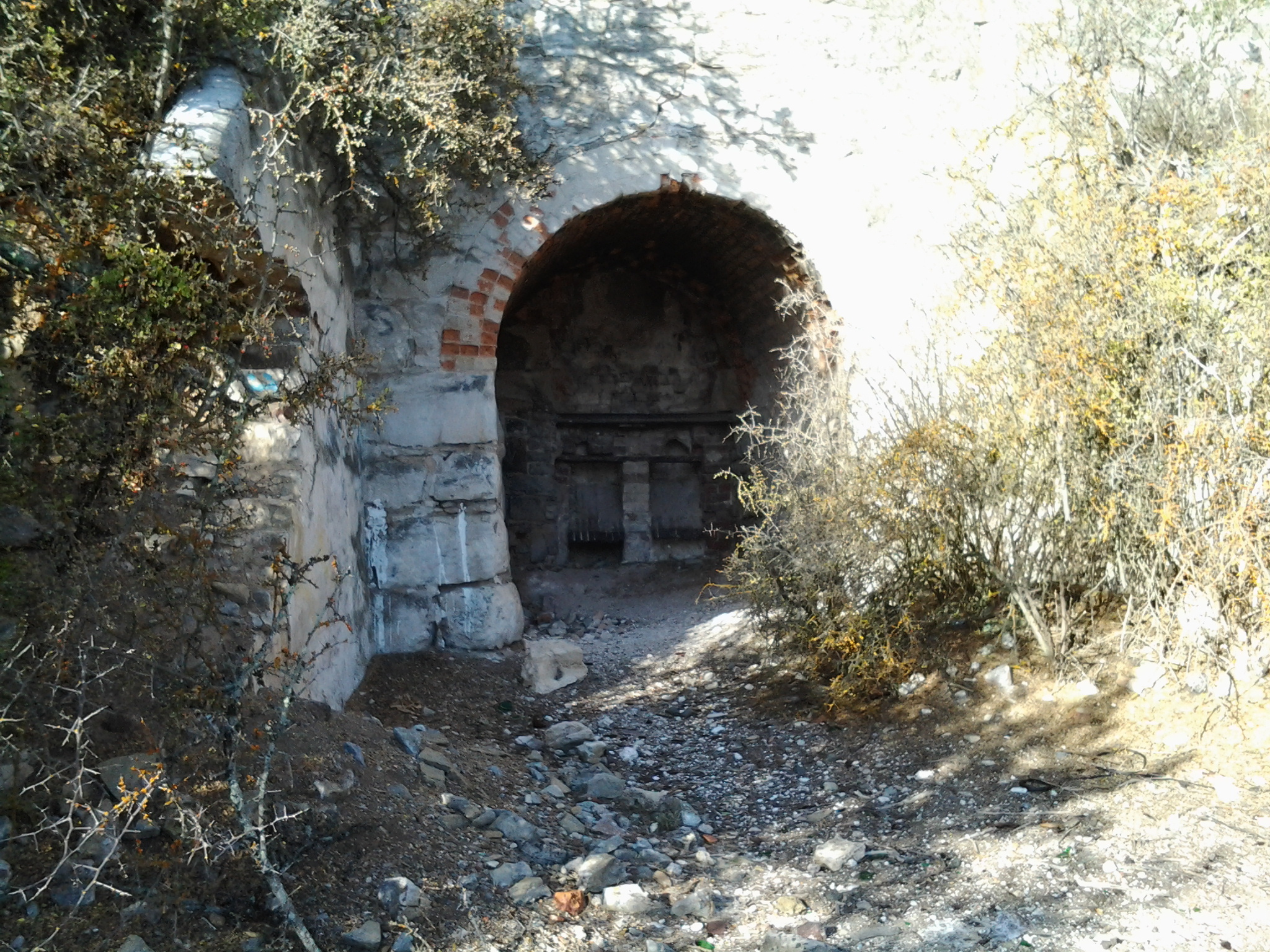
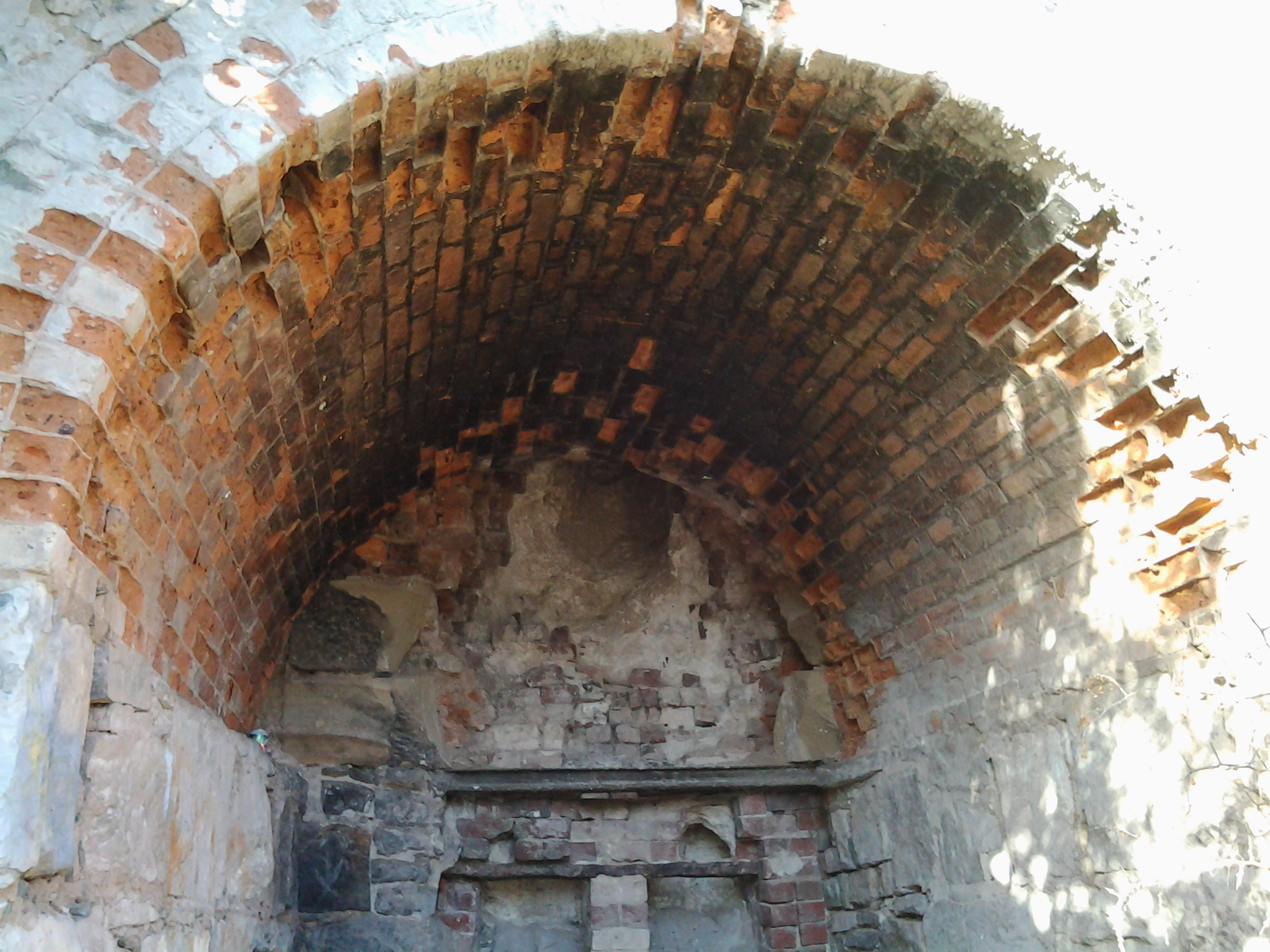
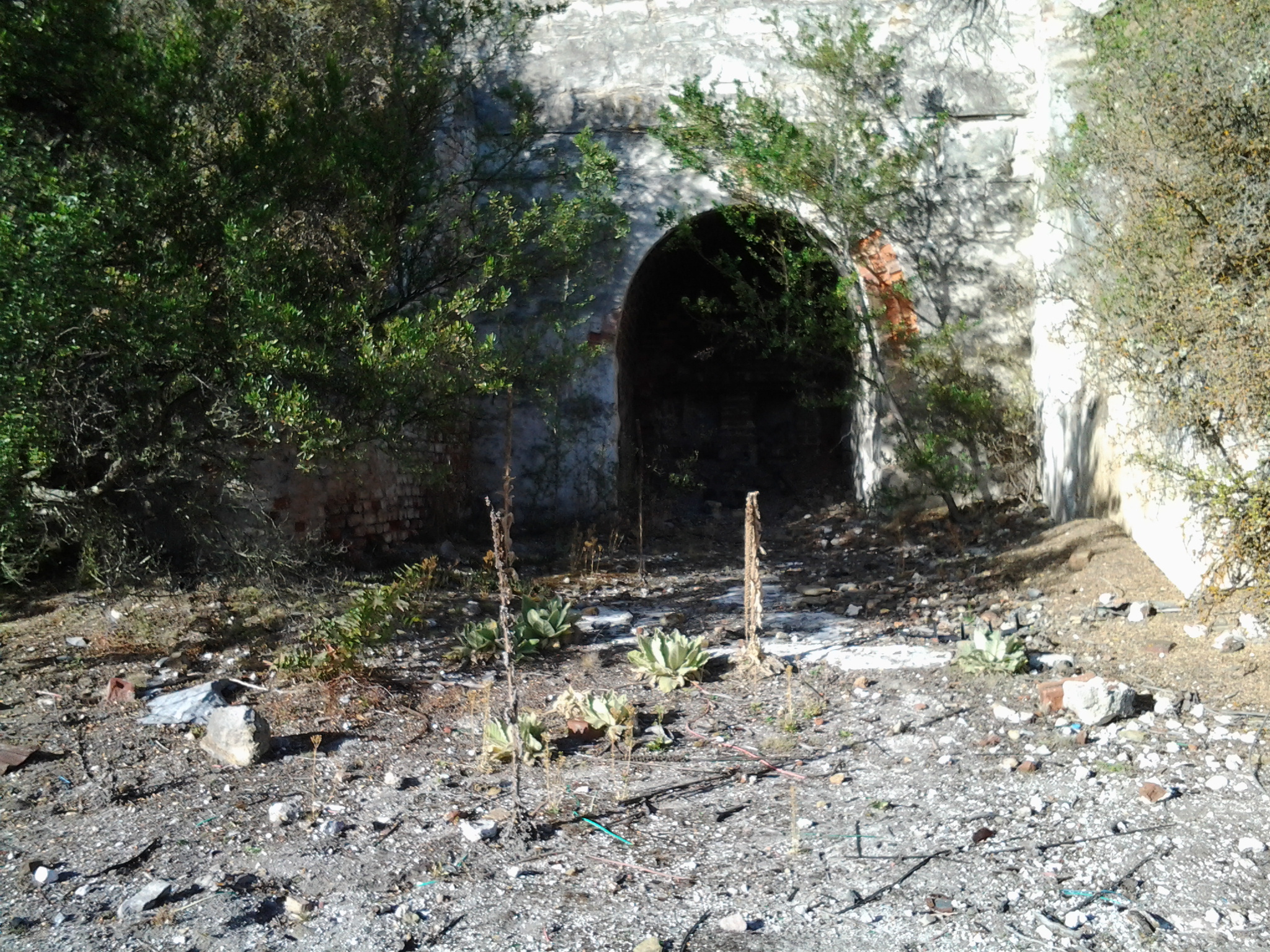
Away from the Lyell Highway in southern Tasmania, while looking at the lime kilns, I had enjoyed relative silence, but once back on the road the endless traffic continued to roar past and box my ears.

Have a look below at the video of a car coming towards and passing me. Listen to that sound. Imagine this noise multiplied many times over and over, and then deeper and more invasive when the many trucks passed. For most of the day’s walk.

There was a pleasant moment when a scattering of comparatively slow moving vintage cars were interspersed in long lines of suffering traffic.  I smiled at all of them and they waved back glad to have someone appreciating their passing.

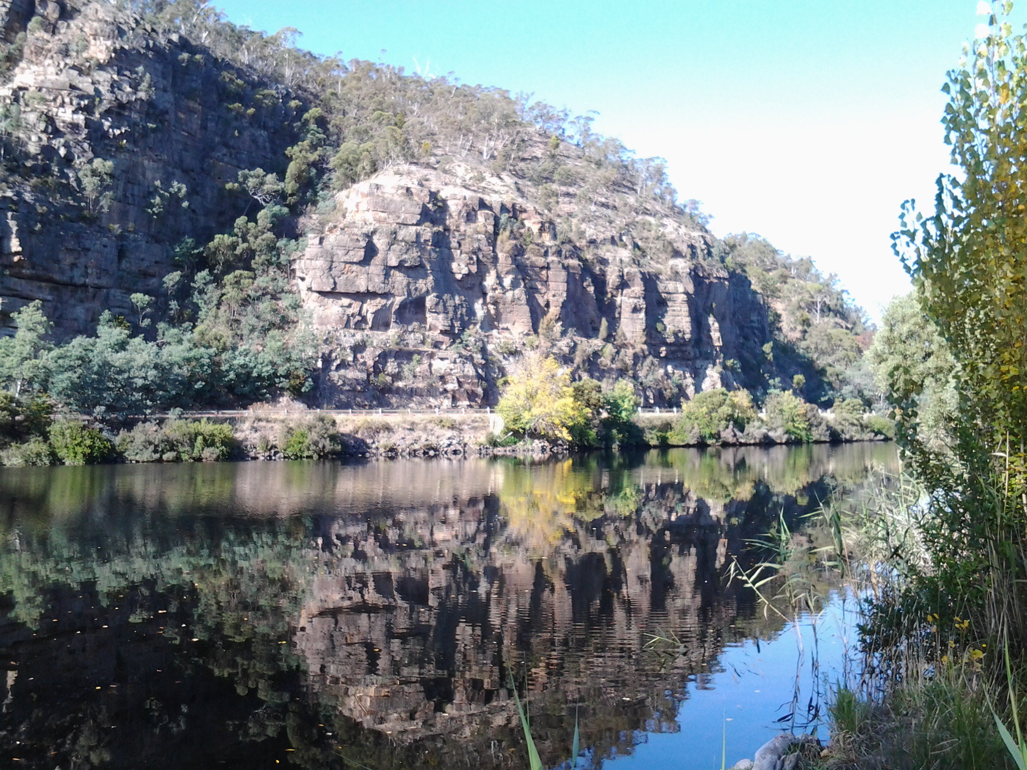
I loved the geological drama exposed by road cuttings.

20150413_090926

Along the way I enjoyed signs such as the one in the photo below. Has anyone ever seen a kangaroo lifting a car?  Before you send me an email indicating your outrage at my ignorance, I know the sign’s message is for motorists to beware of kangaroos hopping across the road and doing great damage to their car and perhaps injury to themselves.  But I also realise it’s not the fault of kangaroos and wallabies that mankind built roadways in their normal travelling routes.

Kangaroo and car sign

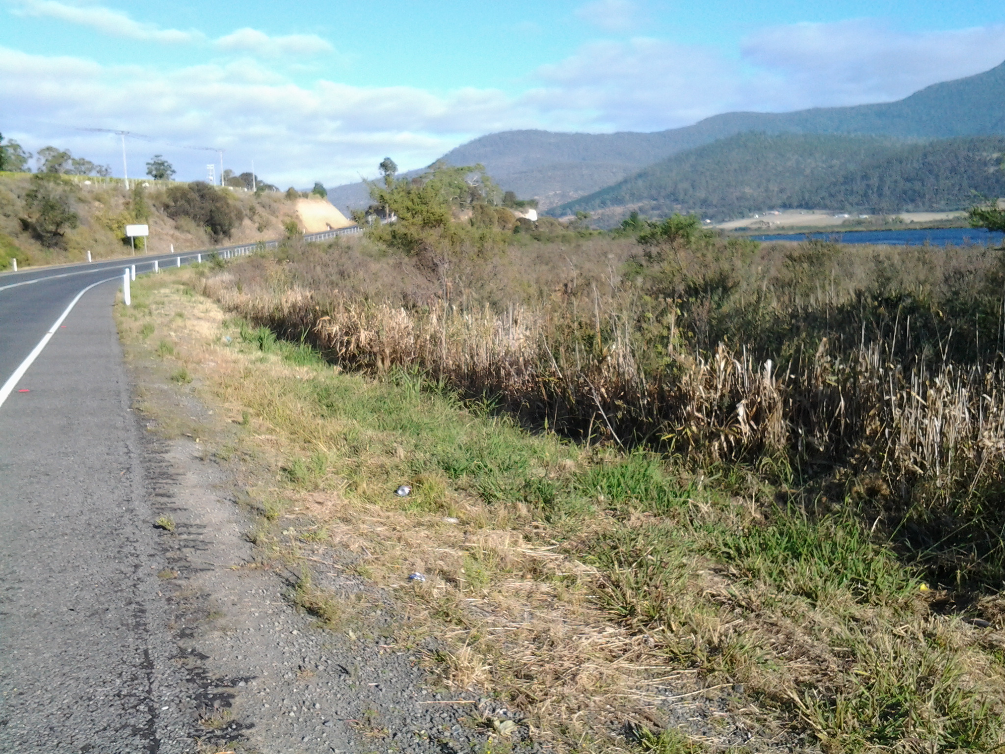
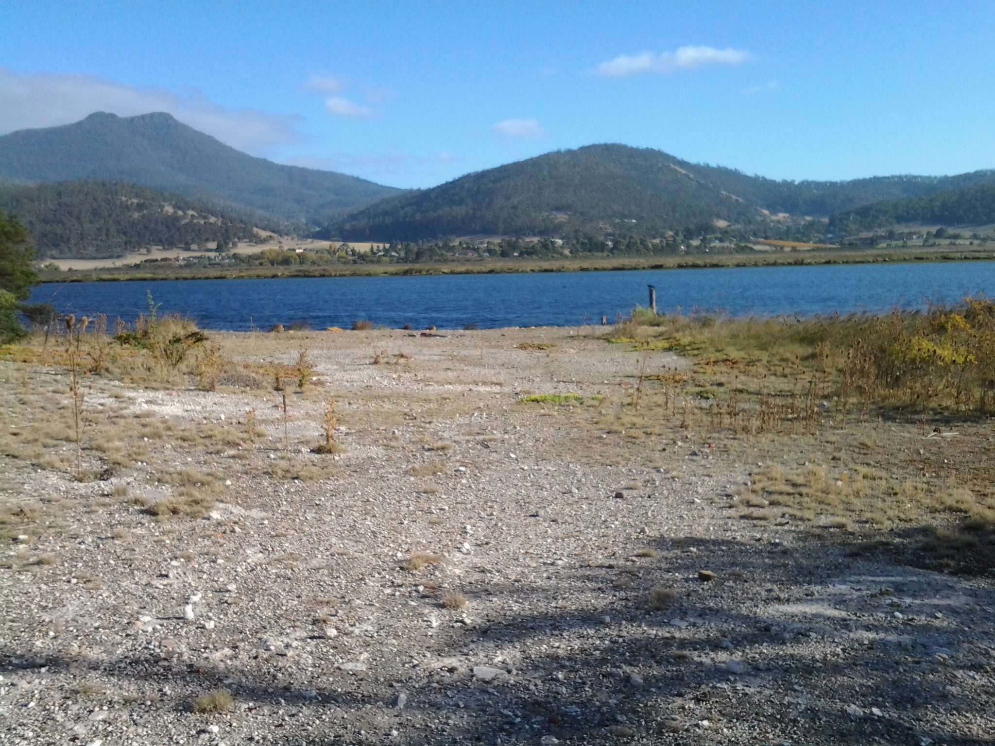
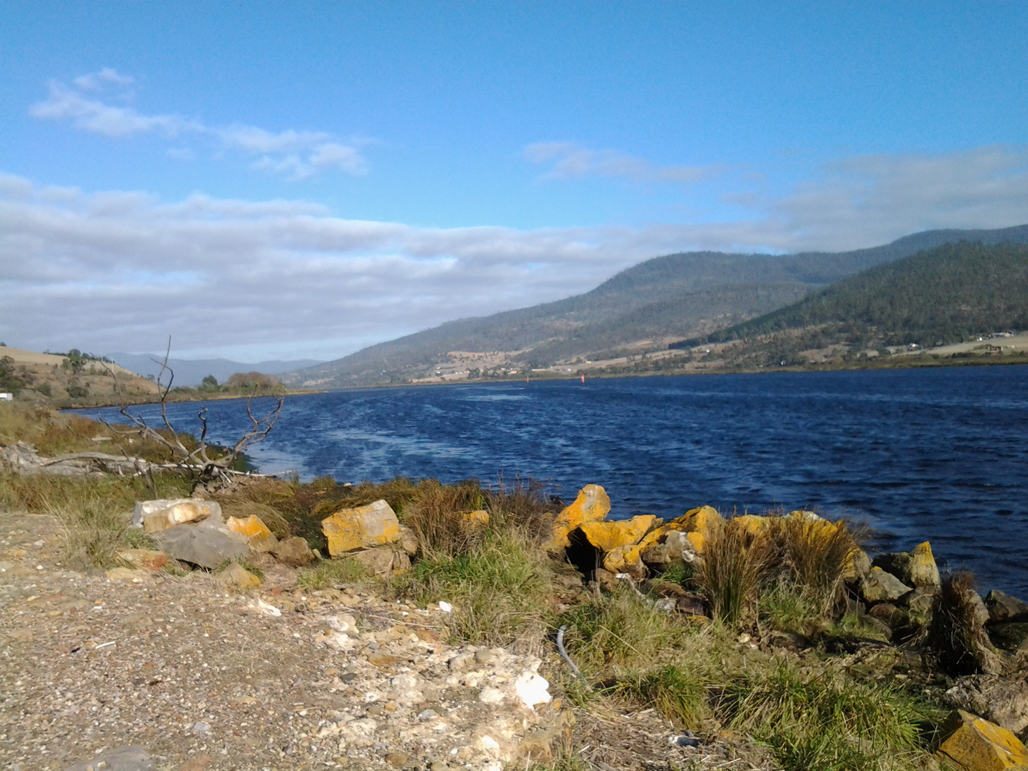
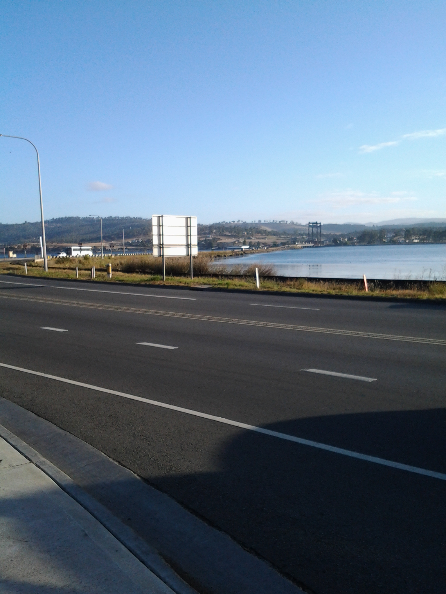
By the time the day was heading towards mid-morning,  the bright quality of the sunlight still indicated the air was still hard and cold.  At this stage I was setting a steady pace, and had great ambitions of reaching New Norfolk very quickly. Before long I reached the start of a long marshy area known as Murphy’s Flat.

Lime Kiln Point ahead

After walking 3 or so kilometres from the bus stop earlier in the day, from a distance I could see part of a white wall fronting the Derwent River.

20150413_084145

At 8.50am on Stage 14 of my walk, I left the Lyell Highway and walked down what seemed to be an earlier version of the highway until I reached the site of the Lime Kilns at Lime Kiln Point.

20150413_084758

At the site I first discovered the remains of one lime kiln built into the massive white wall.

20150413_085025

Later I discovered there were two lime kilns in that wall.

20150413_085326

Inside each were two burners.

20150413_085050 20150413_085109 20150413_085112 20150413_085134 20150413_085235 20150413_085219

If you looked at the video in the last posting, then you will be able to understand what my photos show you.

There are no site interpretations, signs, nor information panels and there are no site protection structures in place.  Perhaps these lime kilns are a minor piece of Tasmania’s history, nevertheless they are interesting. I would not have known what I was looking at except for the name of the Lime Kiln Point (a name which only appears on some maps. No road signs named this so if you come looking, it is located 200 metres north of the Derwent Estate Wines turn off) and I imagine there would be many others like me.

In front of the lime kilns, the broken remnants of a jetty poked up above the Derwent River through the cold air.

20150413_085029 20150413_085352

The view upstream was majestic.

20150413_085400

After taking time to look around Lime Kiln Point, I continued northward. When the old road petered out, I clambered up a loose gravelly rise and back onto the Lyell Highway.  It was only 9am.

What is a lime kiln?

Is it a pottery kiln that has been painted or glazed with lime colours? Is lime syrup or lime pickle cooked in a kiln? Is it an oven for drying lime fruits? None of these are true.

Their job was to produce quicklime (agricultural fertiliser) by the calcination of limestone rock (calcium carbonate). Calcination of the limestone requires heating to around 900 degrees to remove moisture, to oxidise the rock, and to decompose carbonates and other compounds in the rock.

For more information and the process, have a look at the video:

https://www.youtube.com/watch?v=IJpZsvYygF8  You may be amazed, like I was, to understand how toxic and dangerous the process was. A terrible question passed through my mind – is this how third world countries are doing the work still?

The remnants of lime kilns can be found around Tasmania.

Between the bridges: Stage 14 of my walk along the Derwent River

The achievement yesterday was to walk from the Bridgewater Bridge to the New Norfolk bridge on the western shore of the Derwent River.

I set off from home before the sun was up and I found Hobart was quiet when I arrived at the city bus mall.

20150413_070843

Then I bussed to Granton and alighted from the bus at the intersection with the Bridgewater Bridge causeway.

20150413_074852

From Granton I walked north-west then west towards the inland town of New Norfolk walking mostly along the Lyell Highway and then on a walking track for the last 5 or so kilometres. The morning was freezing and the afternoon warm.  But the sun was out; its hard autumn light made the world seem alive and sparkling. The Derwent River was splendid, often still and reflecting the trees and hills on its surface, under a bright blue sky with the sun shining gloriously.

20150413_140121

I finished my walk at the bridge crossing the Derwent River in New Norfolk.

20150413_145514

During the walk, I covered about 15½km of the length of the Derwent River.  By my reckoning, the total distance of the Derwent River on the western shore from the mouth of the River to New Norfolk is 54¼ km.

My walking distance was approximately 20¼kms.  I have now walked approximately 191¼ kms not counting getting to and from buses, as part of this project to walk along the Derwent River.

The highlights of the walk to New Norfolk were finding the remnants of two clearly visible heritage lime kilns, seeing a family of 6 pelicans, finding the track along the river leading to New Norfolk, and being mesmerised by the spectacular autumn foliage along the walk and especially in New Norfolk.

20150413_140030

I started walking from Granton around 8am and, despite wearing a thick woollen beanie plus a thermal top under my windproof jacket, I was frozen for the first two and a half hours.  It was 8 degrees Celsius at Bellerive when I left home, 6 degrees at Glenorchy and I suspect much less with a wind chill factor along the first part of the walk.  On this basis, I will not be walking further inland until sometime in Spring, and the timing of starting again towards Lake St Clair will depend on the air temperature.

Over the coming week I plan to enjoy writing up the journey and the discoveries of Stage 14’s walk in a series of different postings.