Category Archives: Mount Wellington

Hobart’s Regatta Grounds and Cenotaph; missing Macquarie Point but reaching Hobart’s Sullivans Cove.

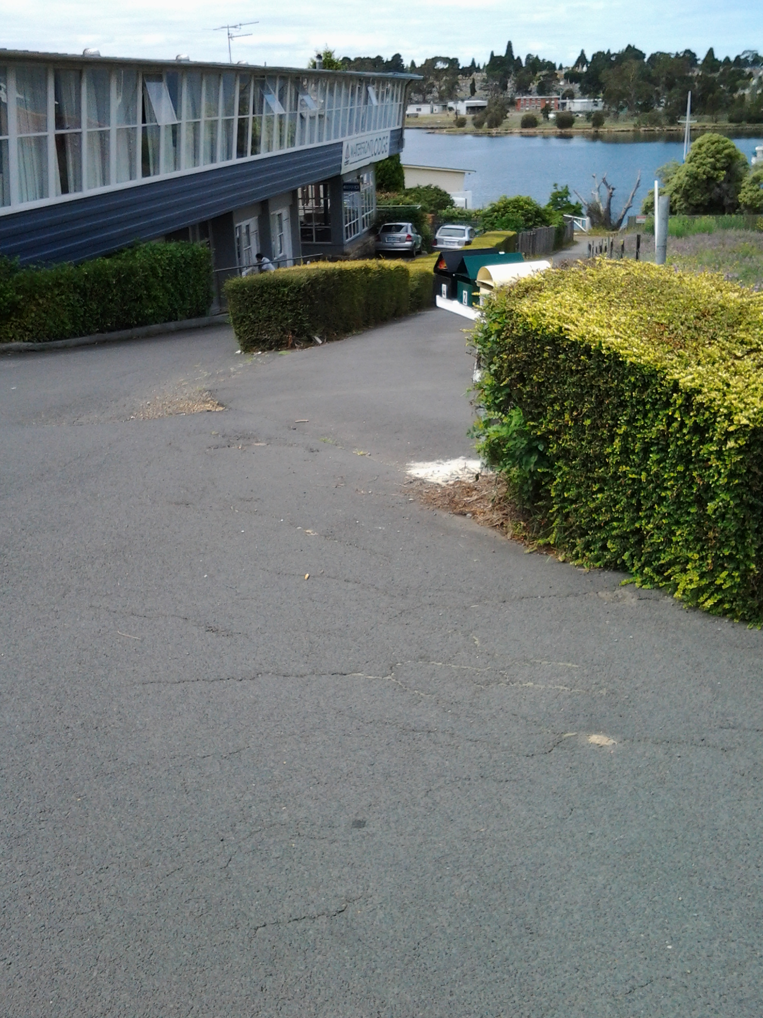
Leaving the navy depot on the edge of the Derwent River, I realised the distance to Hunter St and the beginning of Sullivans Cove in Hobart was not far.  That seemed like a perfect finishing destination for Stage 10 of my walk along the Derwent River, so onwards I plodded.

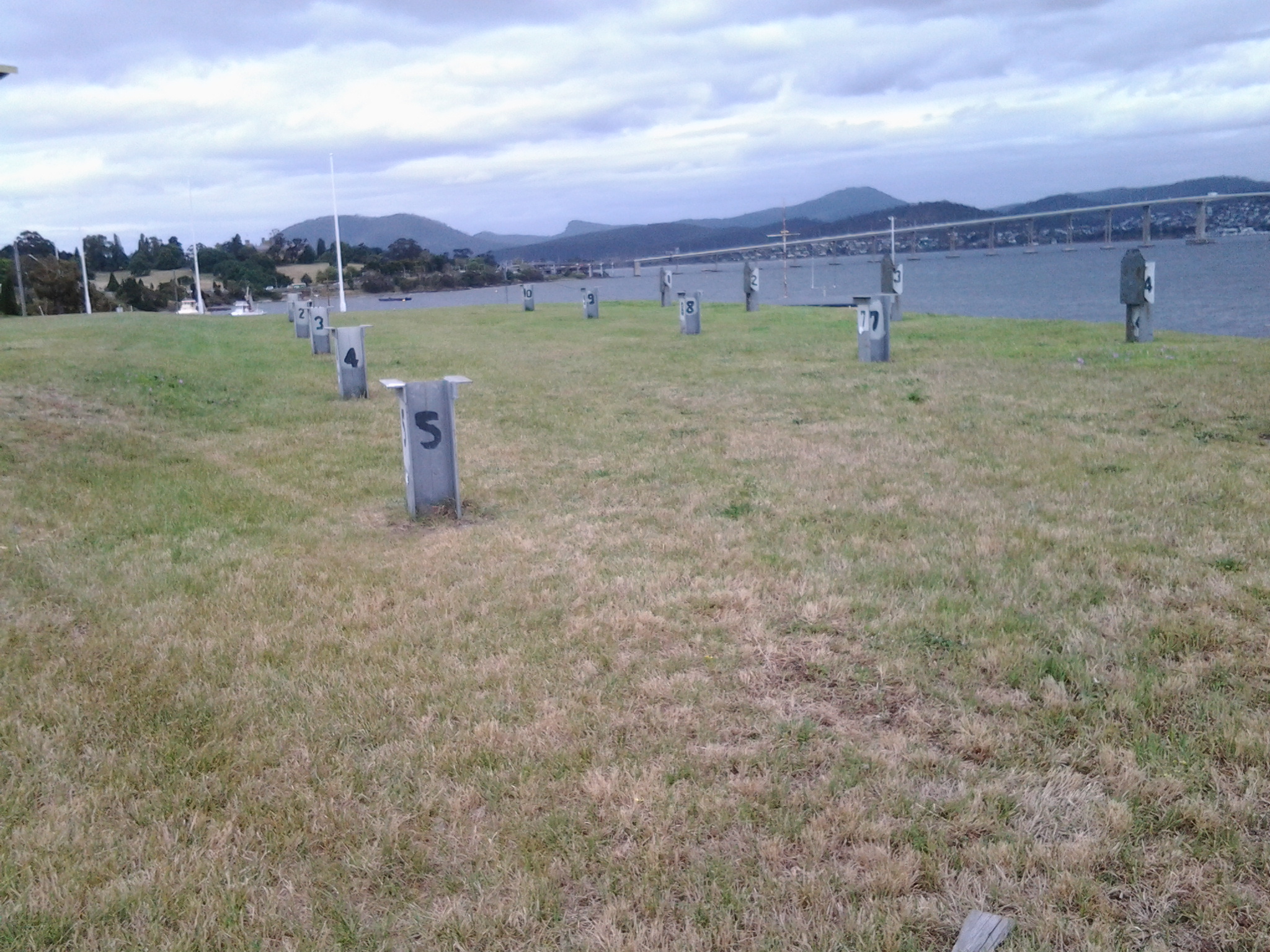
The ex-navy depot sits immediately next to the Regatta Grounds so I reached the Regatta Stand, set up for the annual audiences, very quickly – by 4.10pm.

20150109_160021

Hobart’s Regatta has a long history.  According to http://www.soldierswalk.org.au/walk_domain.html , “The Hobart Regatta is the nation’s second oldest and commenced in 1838 and has been staged every year since, bar two. A grandstand was built in 1877 and replaced by the John Colvin Stand in 1919-20.”  History and photos (including some of Queen Elizabeth visiting) can be seen at http://www.royalhobartregatta.com/History.html.

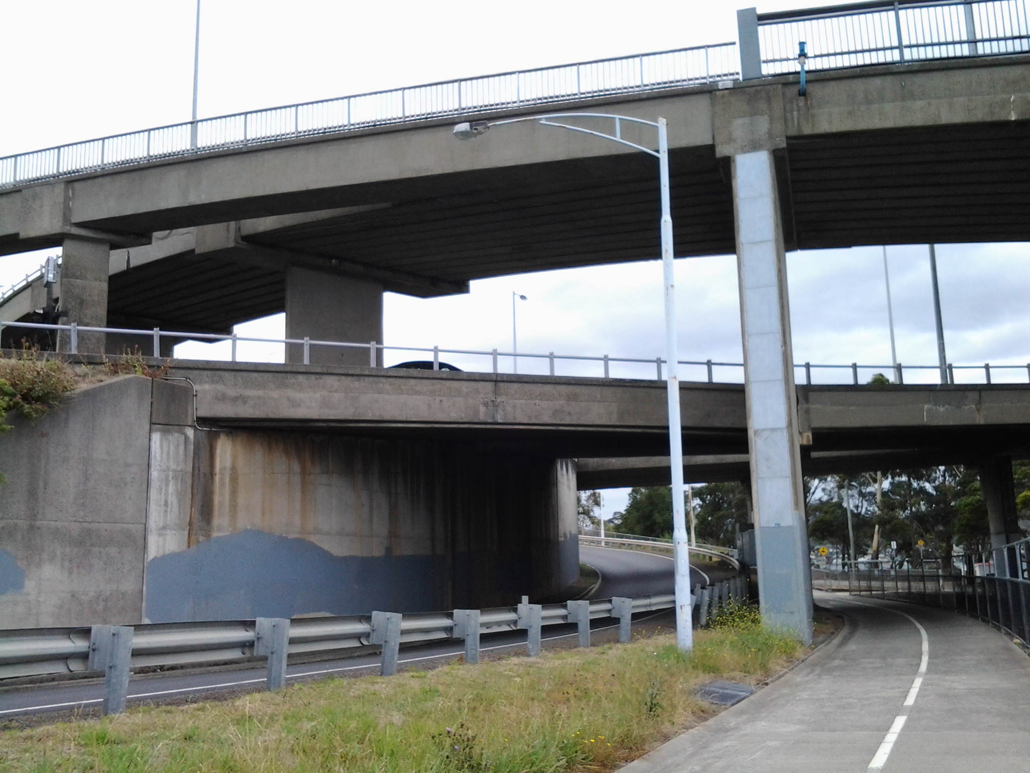
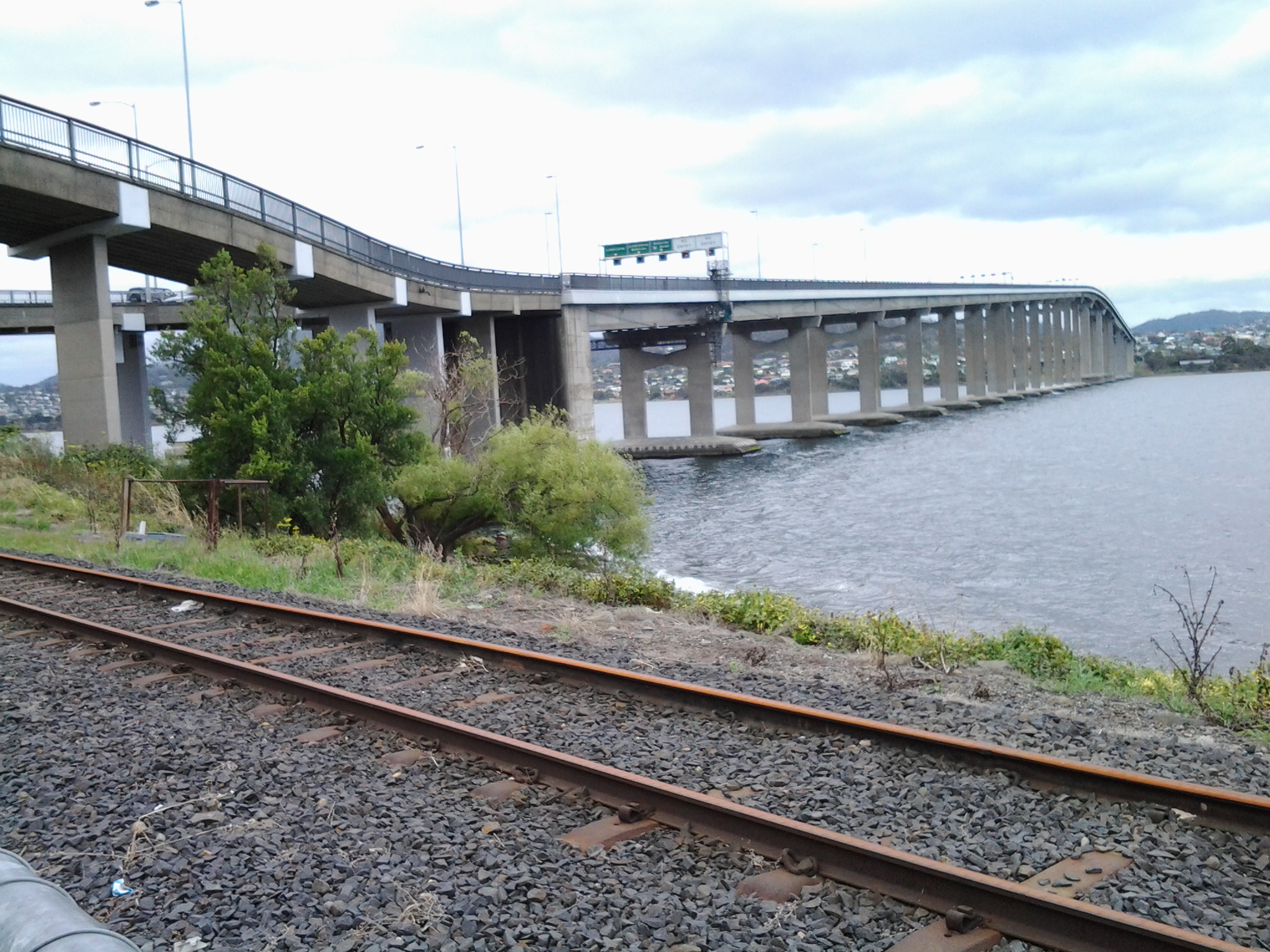
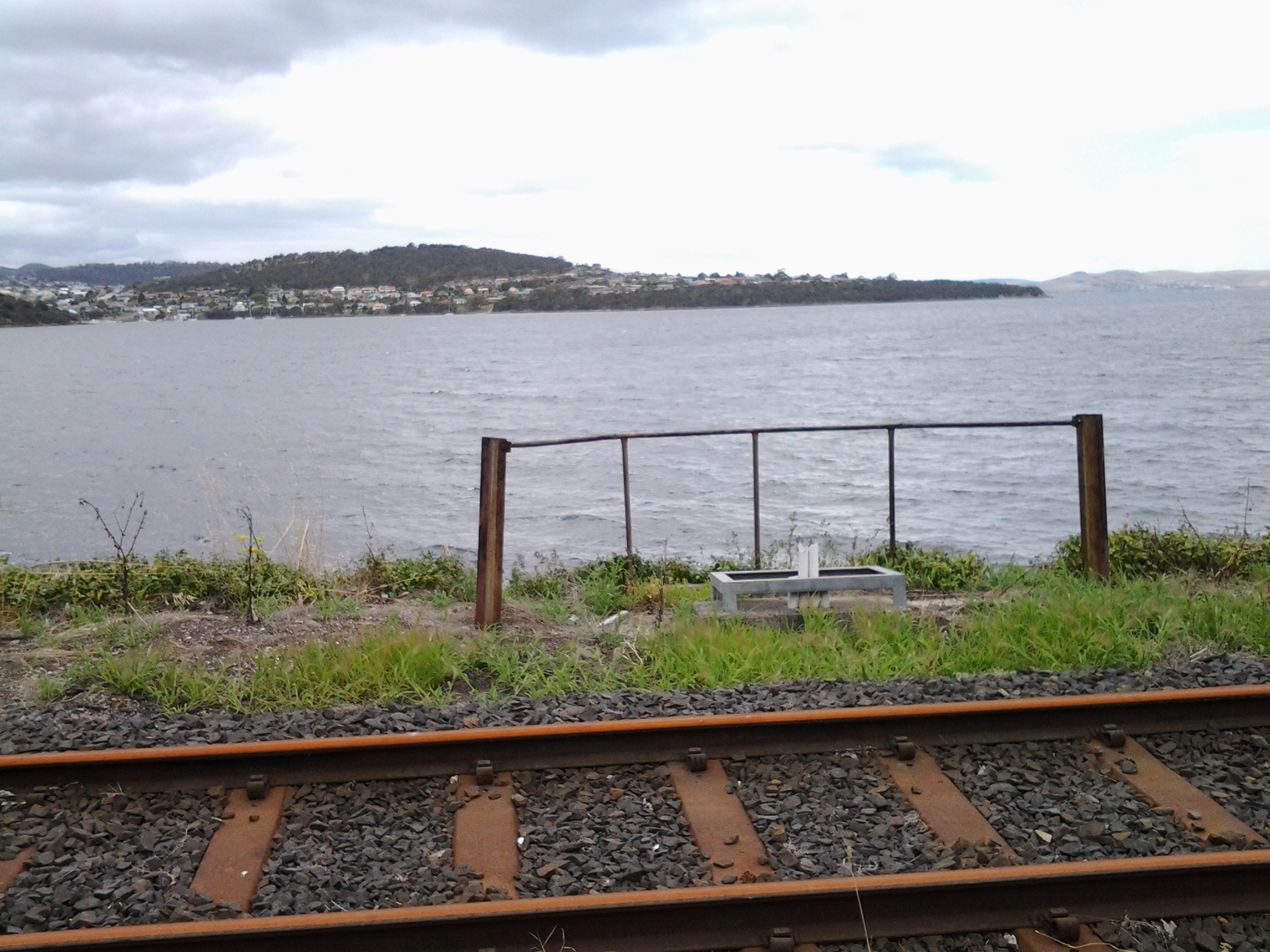
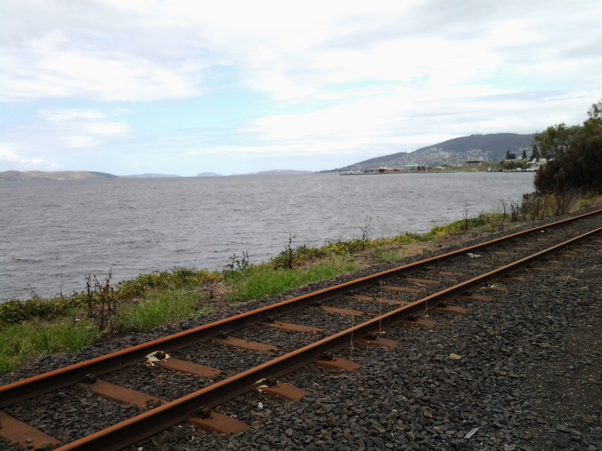
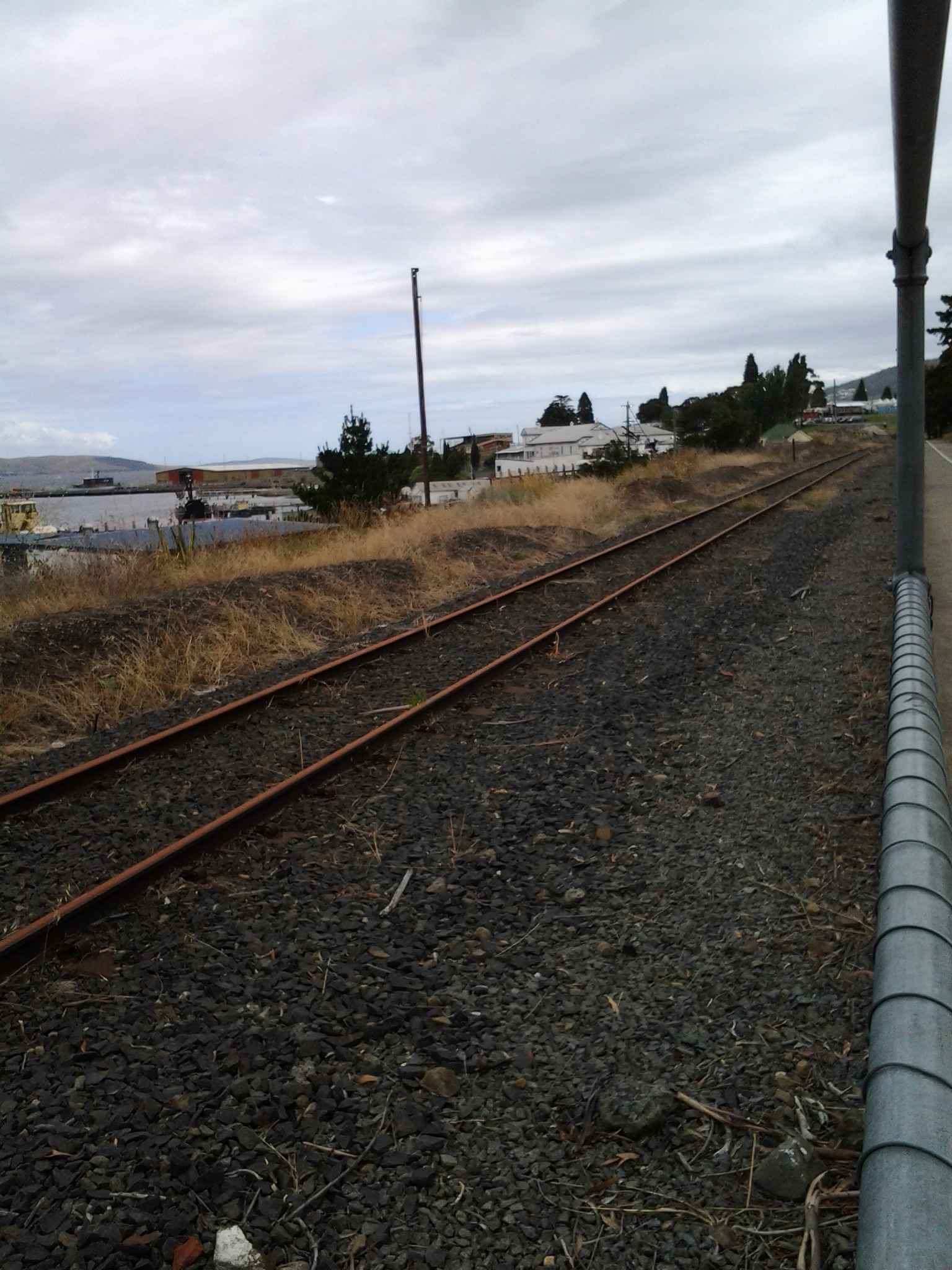
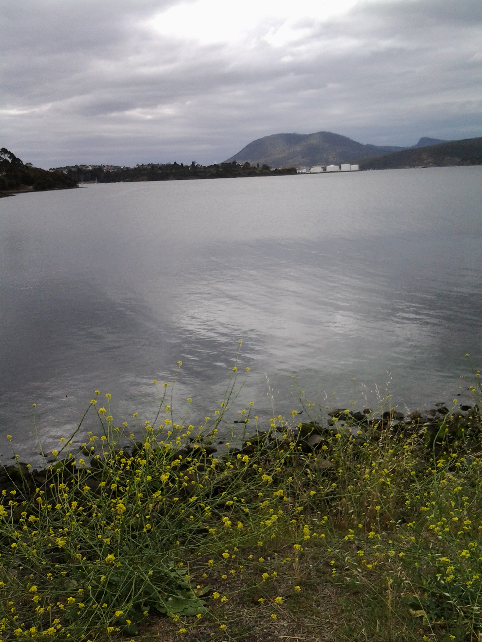
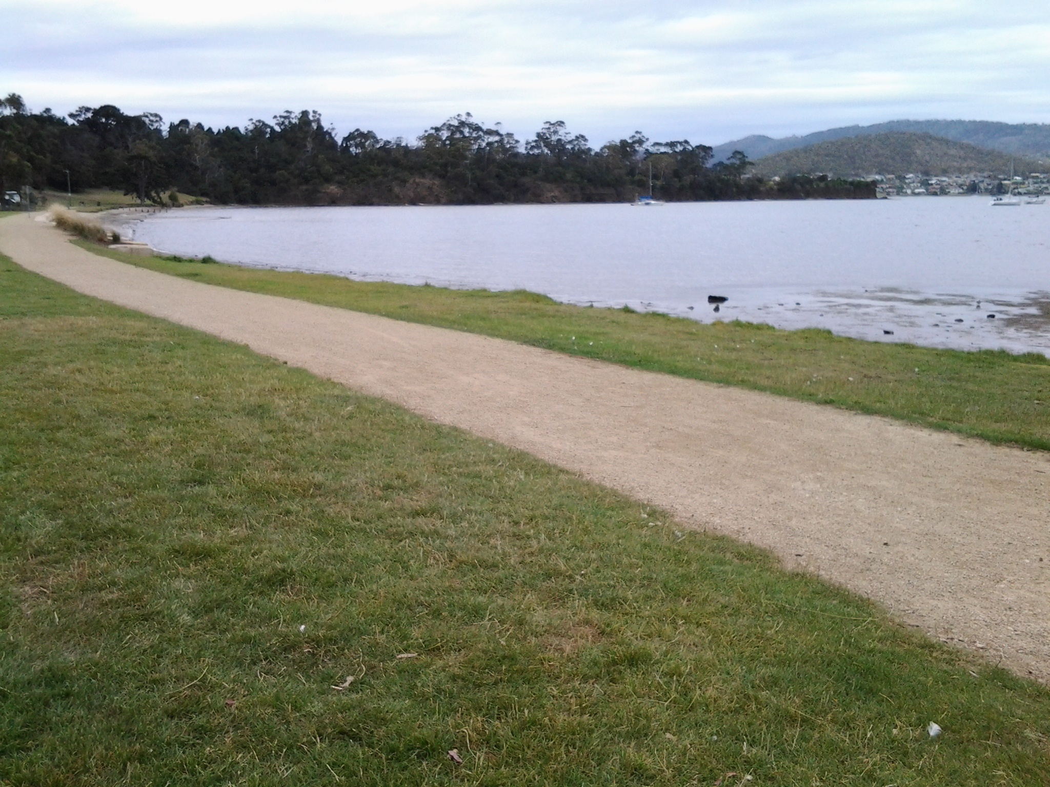
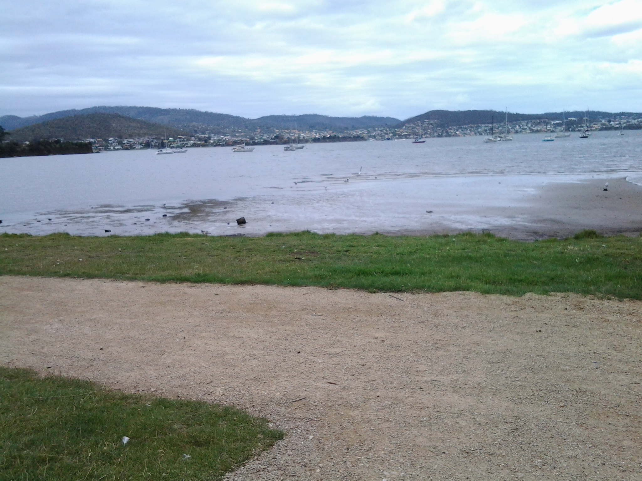
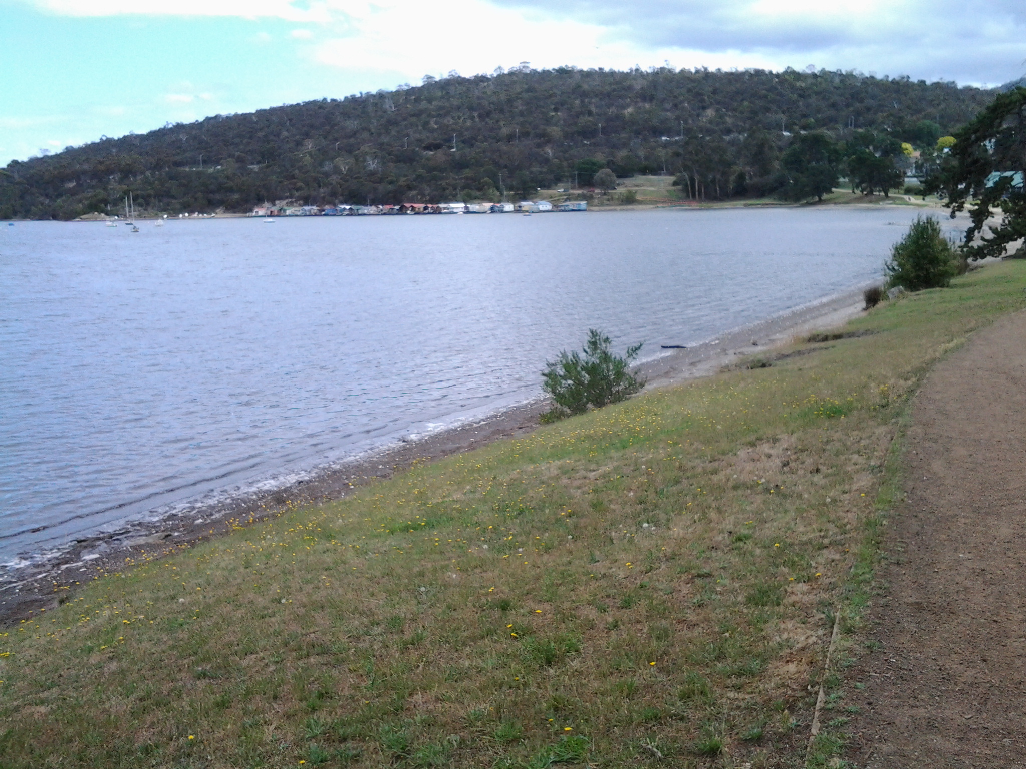
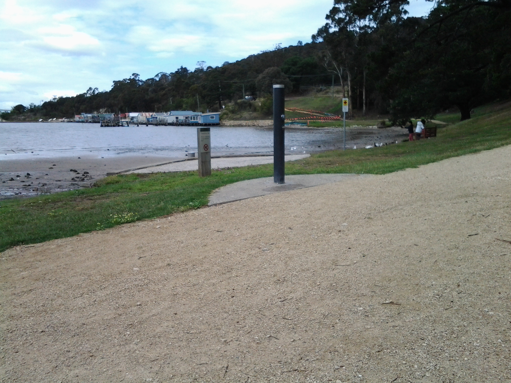
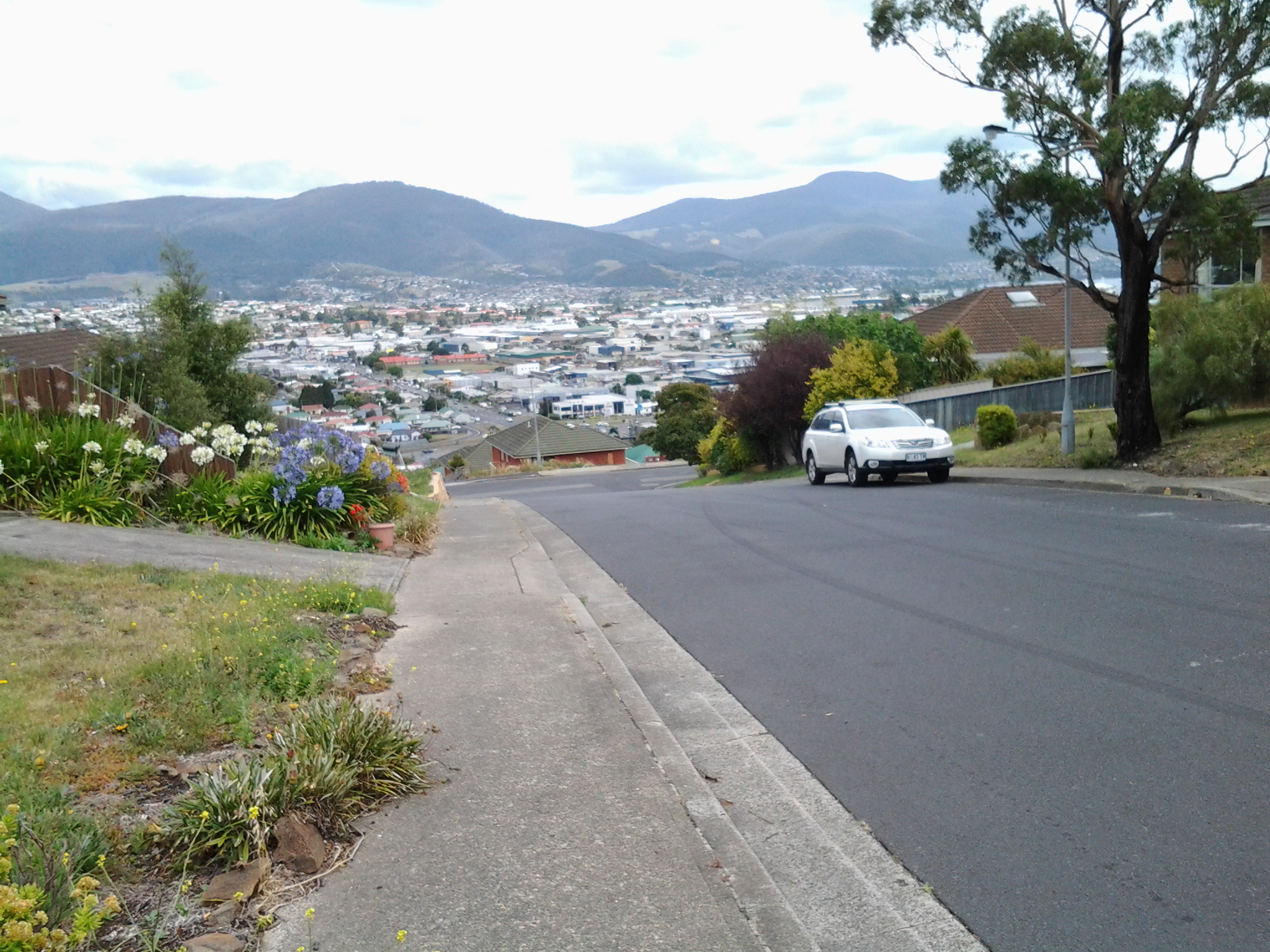
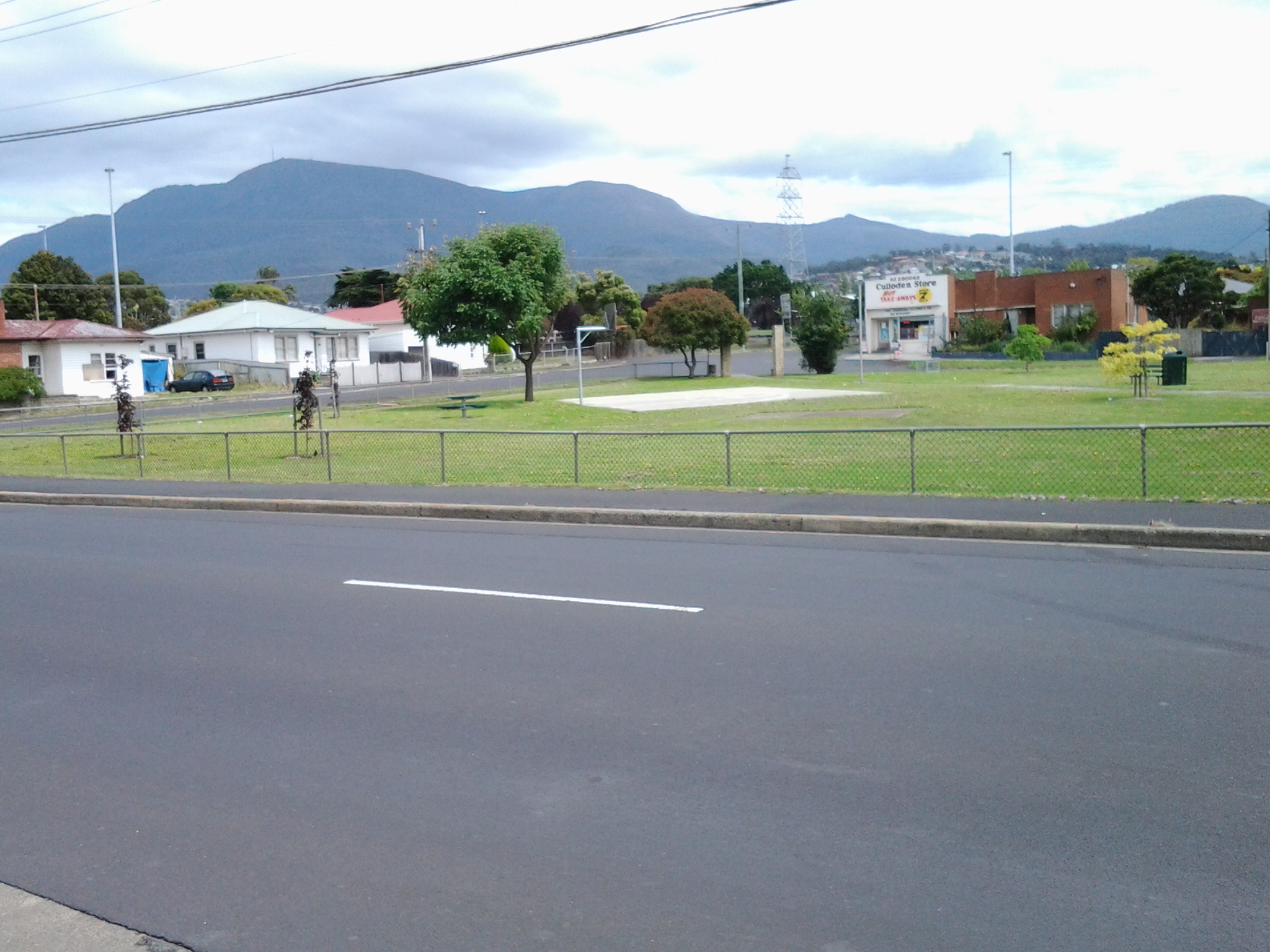
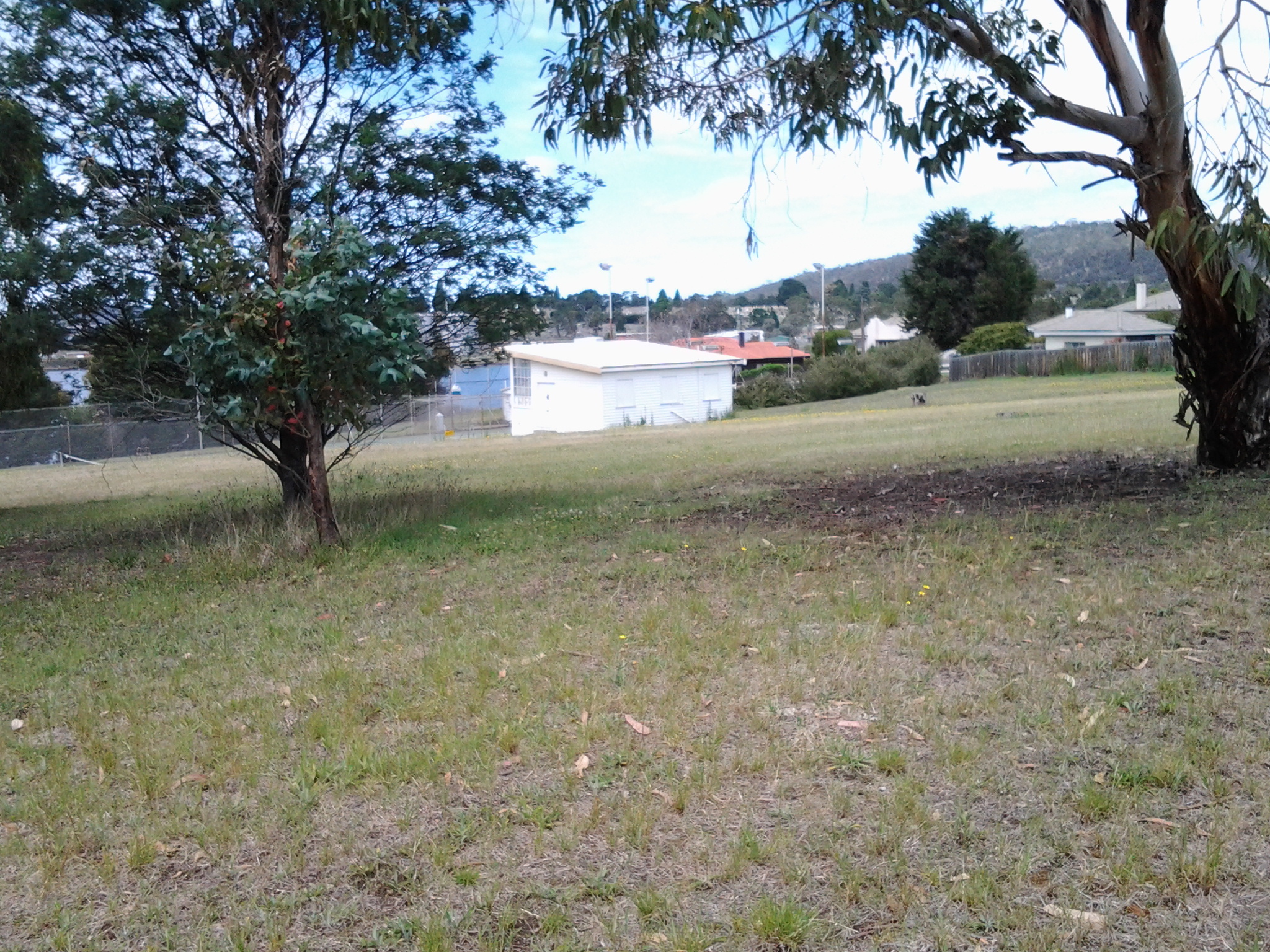
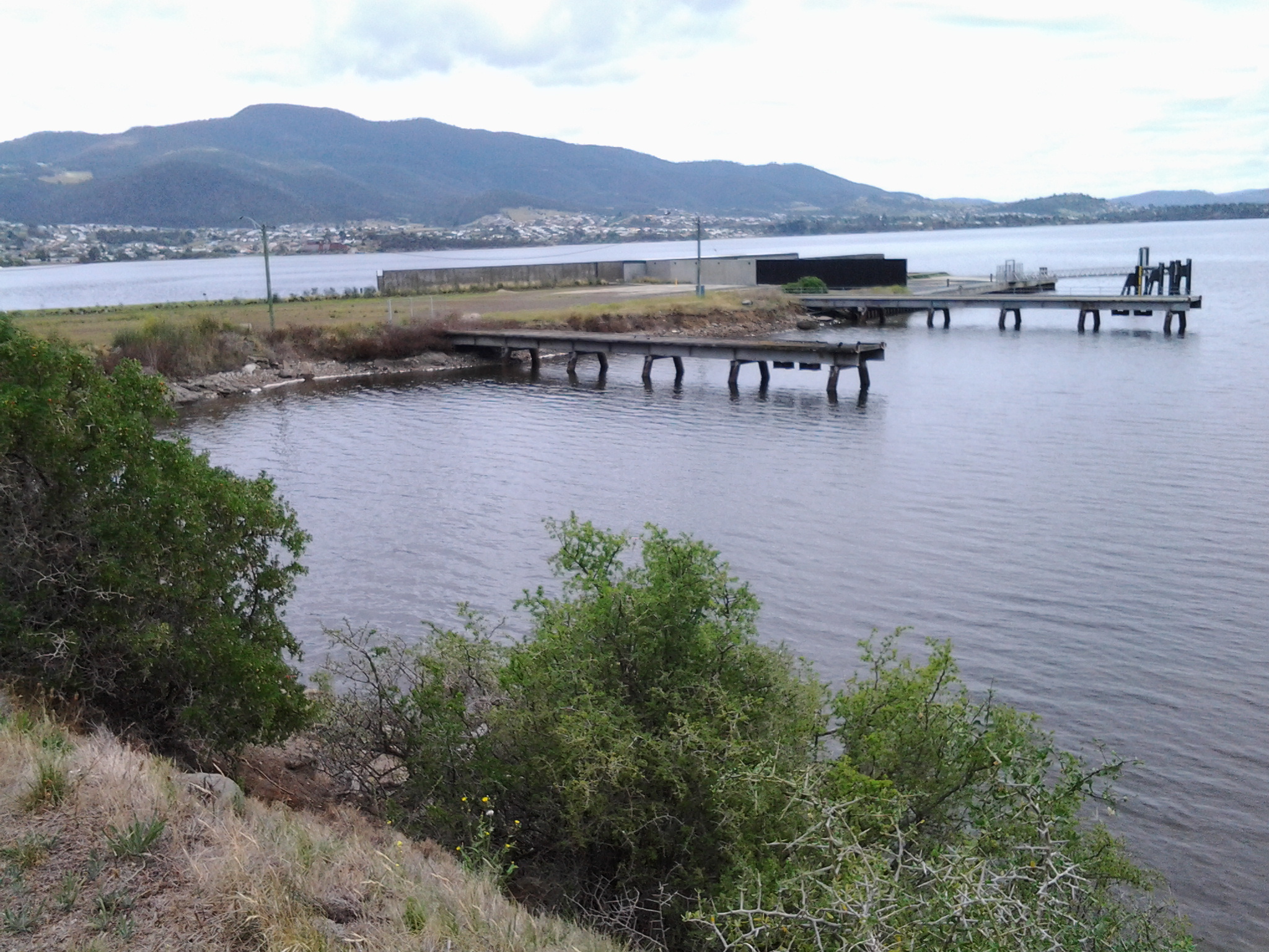
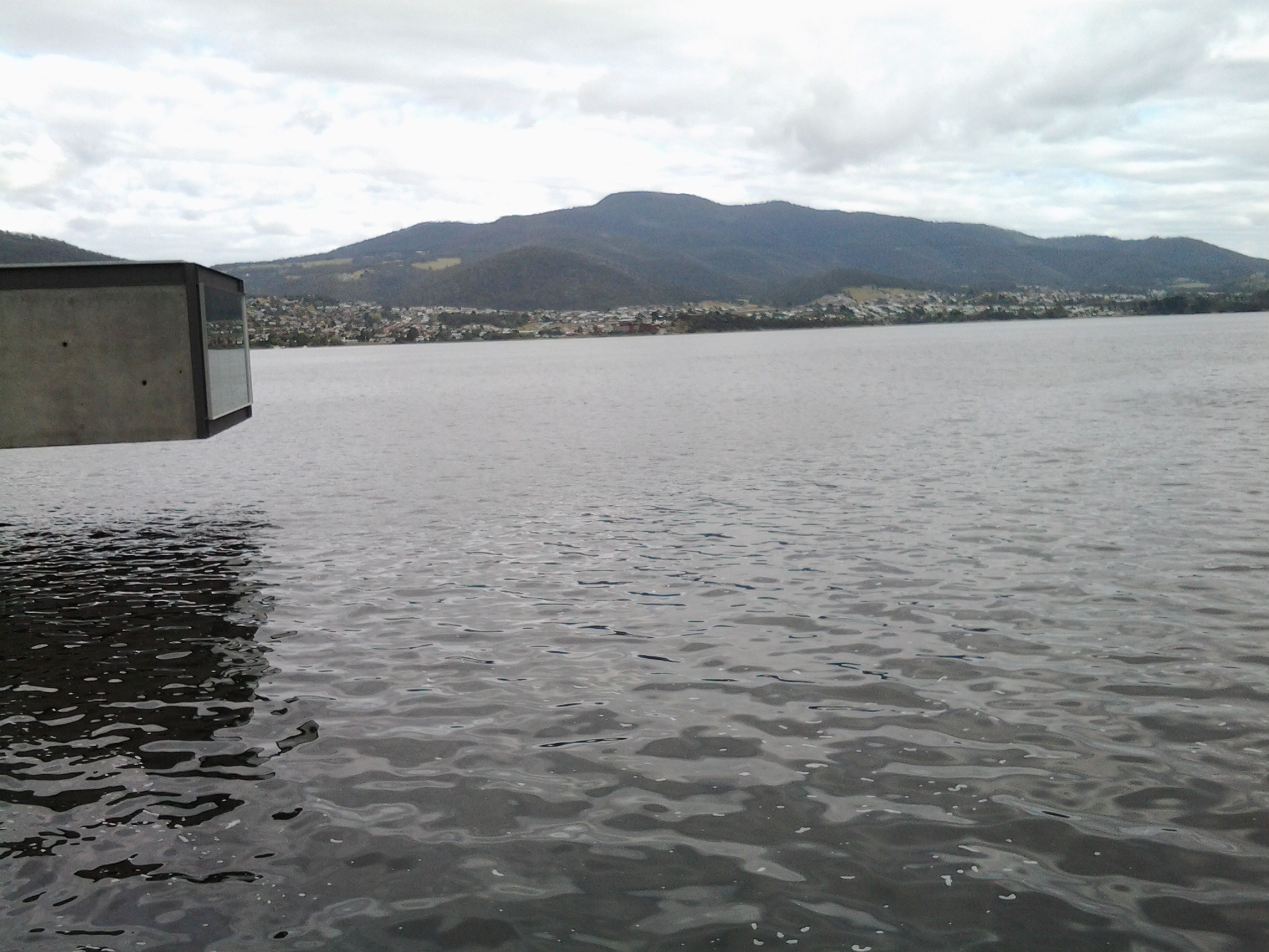
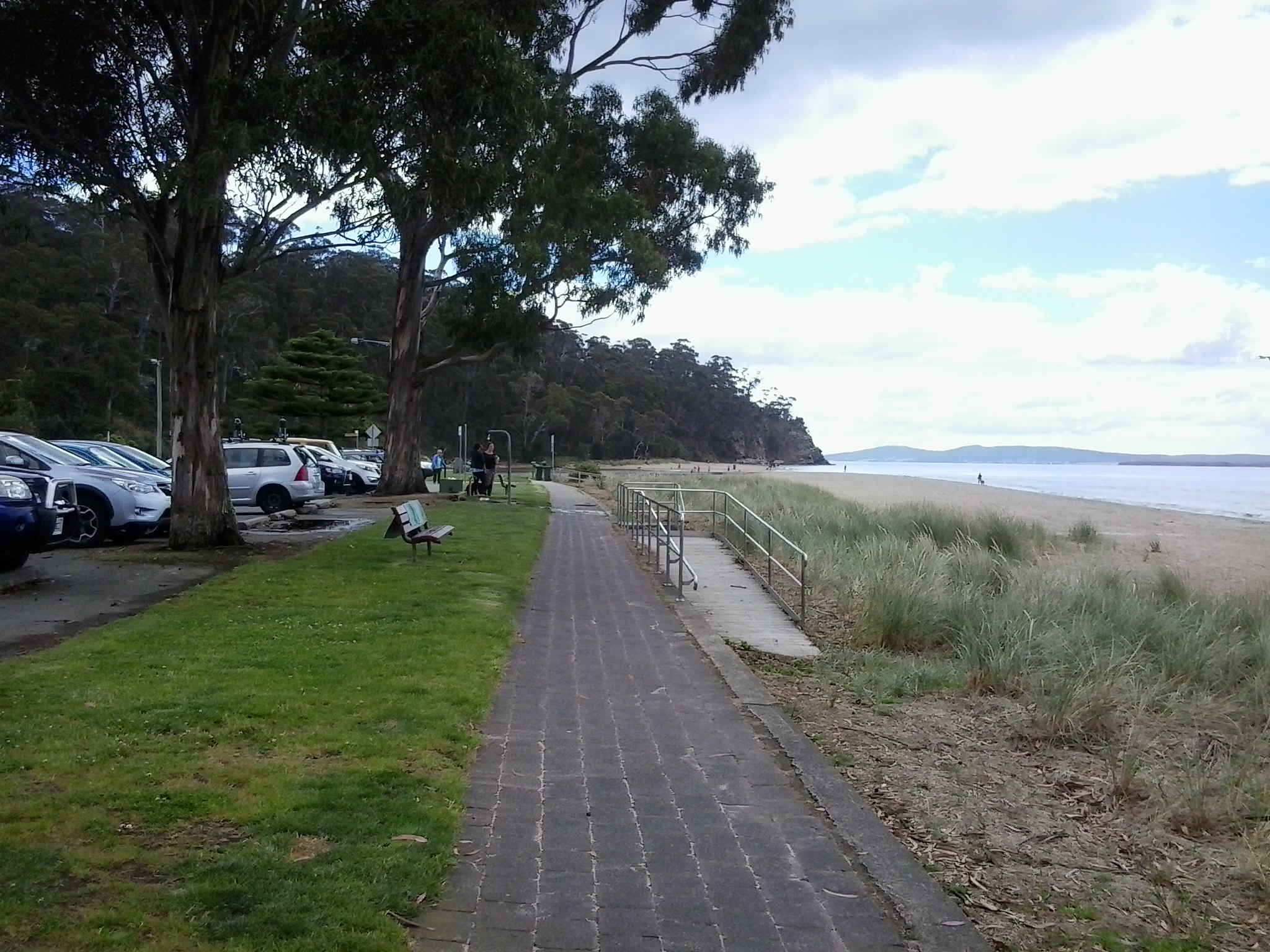
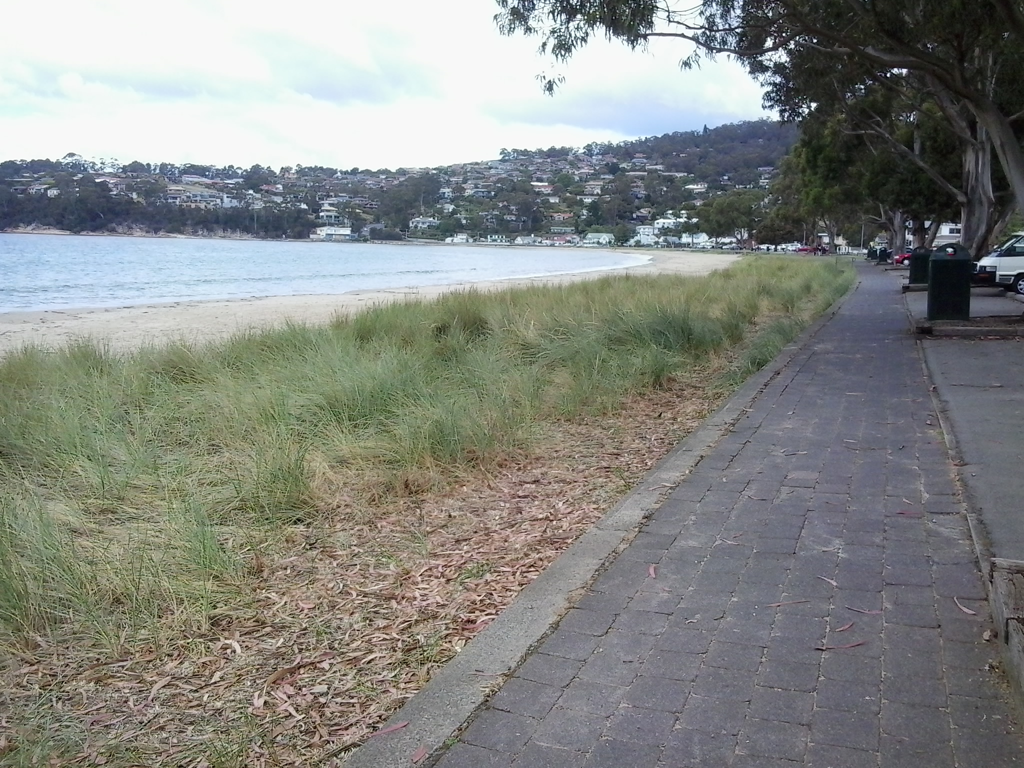
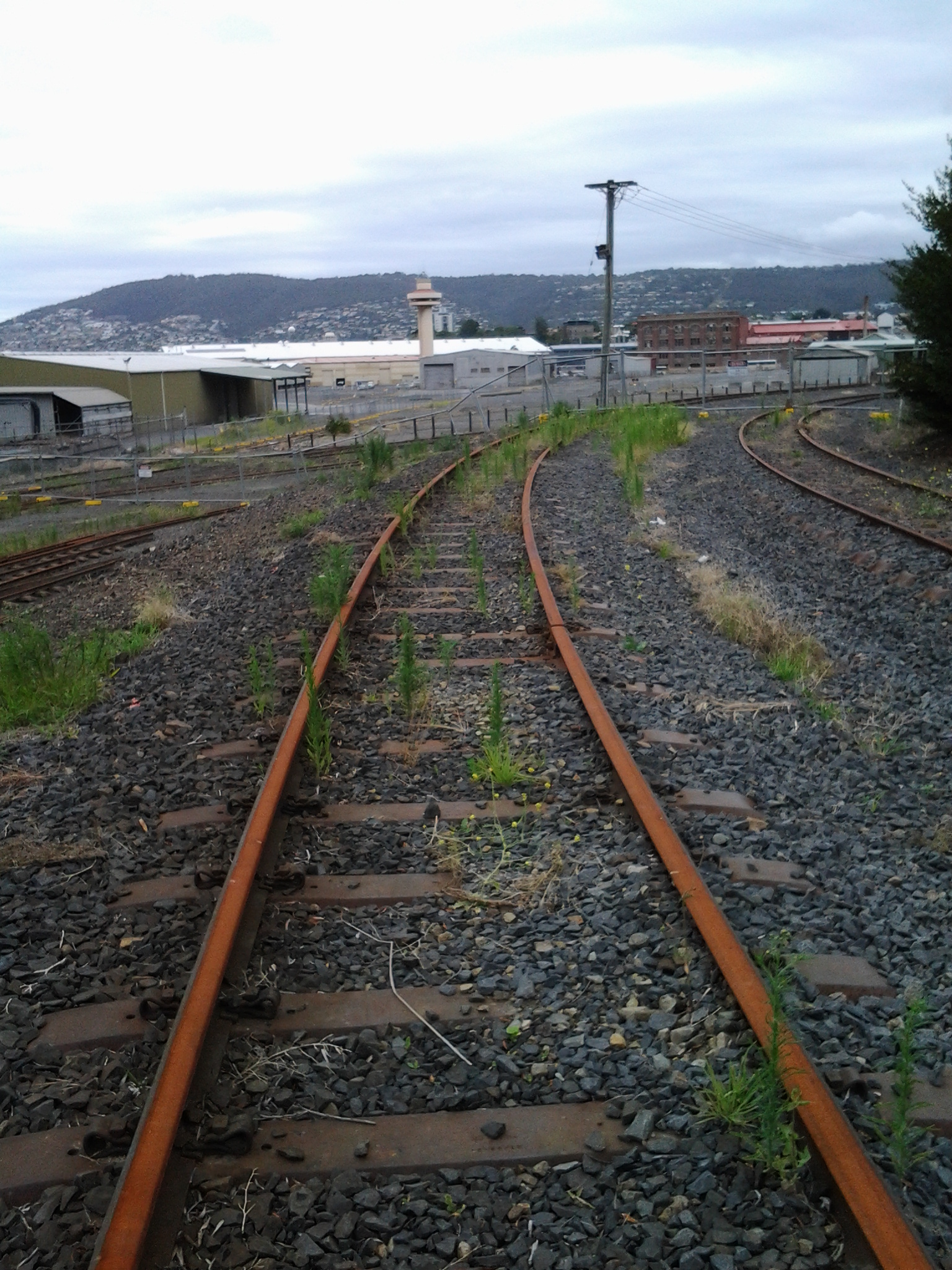
The day had become bleak and windswept. The area was empty of people and movement. Nevertheless, I continued walking along the dismal disused railway line and passed empty wood chopping competition blocks.

20150109_161232 20150109_161747

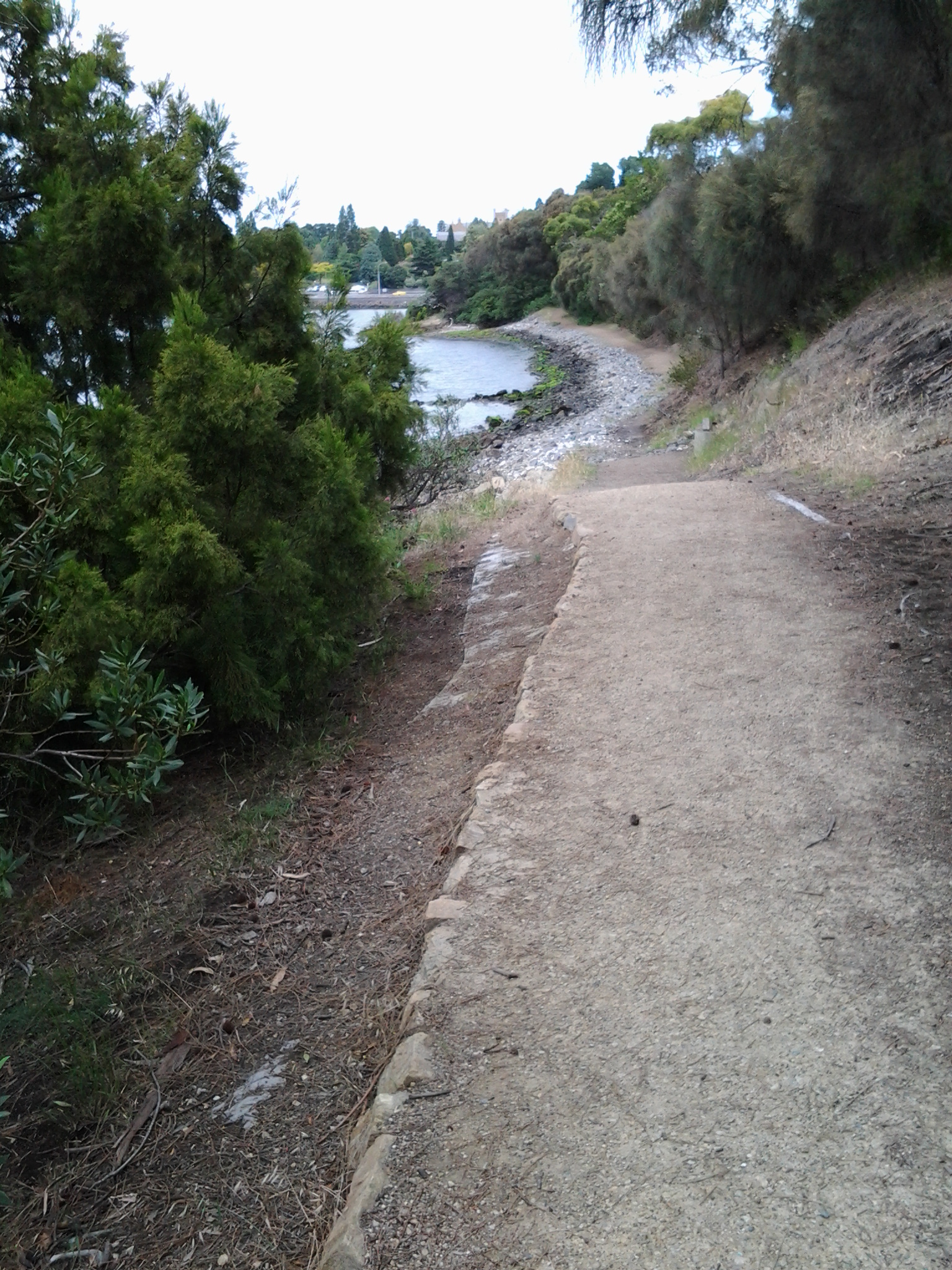
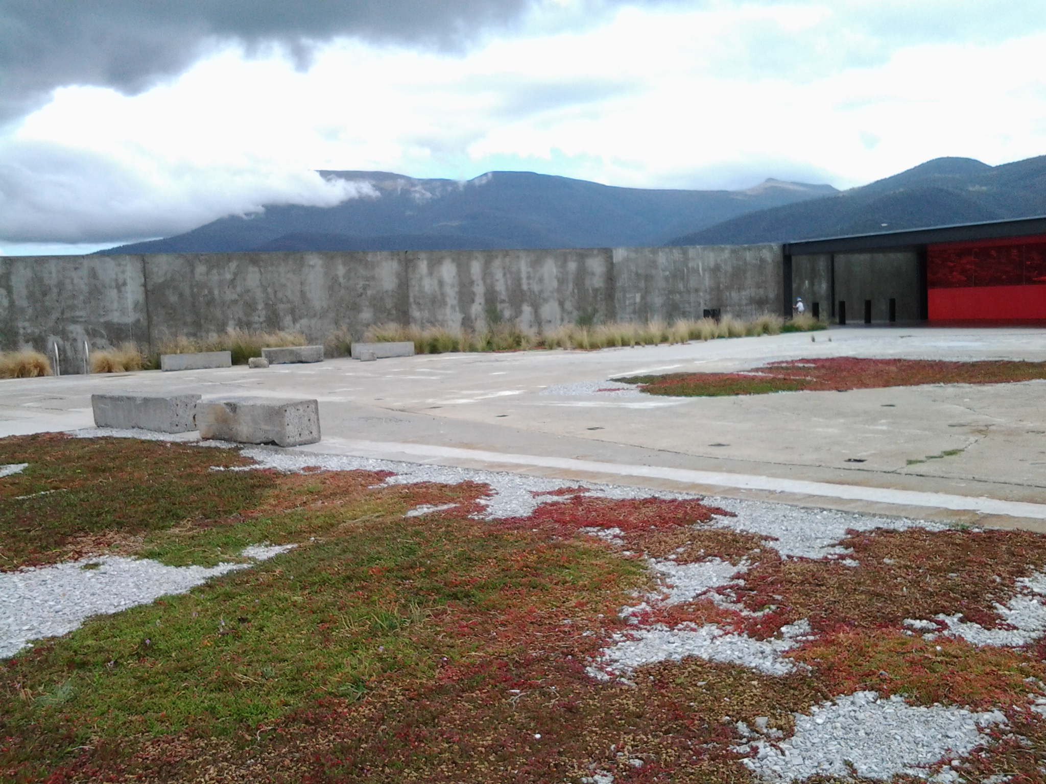
Eventually I was stopped from walking to Macquarie Point on the Derwent River by a high fence with locked gates.  I did my best to continue walking around and as far as I could. But it was useless to think I could get much closer to the Point.  It simply was not accessible to walkers like me.

20150109_161339

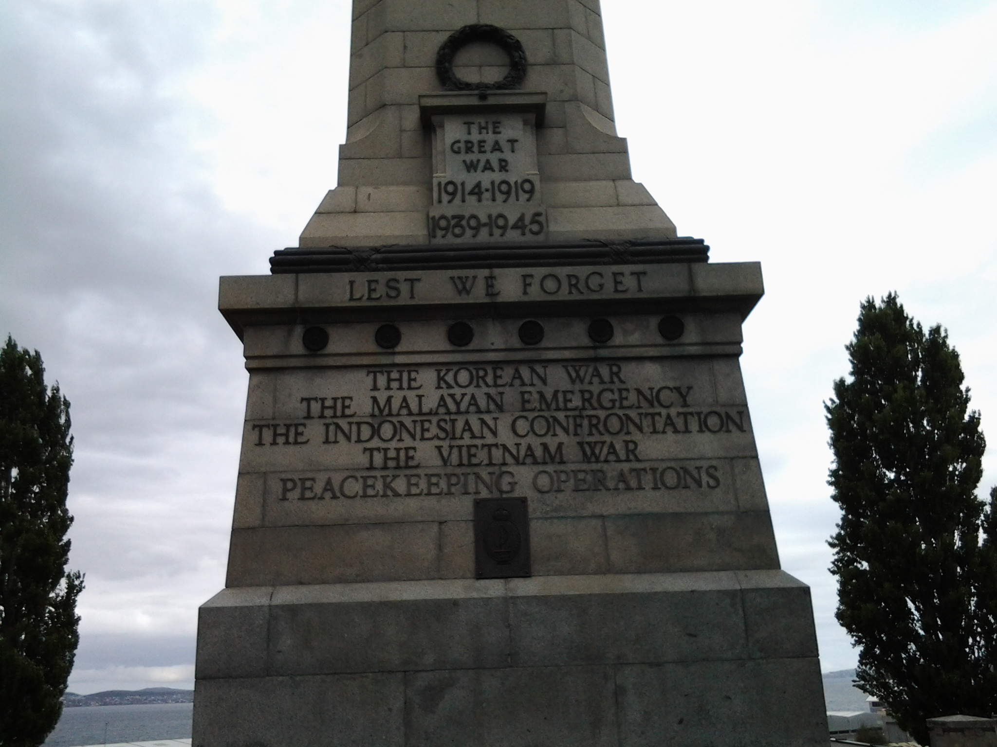
I clambered up a weedy section and eventually climbed over a lower fence until I was standing on the lower grounds of the Cenotaph, a monument commemorating the men and women who have died in various wars. This is a significant site in Hobart on our nationally celebrated ANZAC Day each April 25th. As I began to leave, the time was 4.18pm.

20150109_161810 20150109_162043 20150109_162225 20150109_162155

I walked around the Cenotaph,

20150109_162351

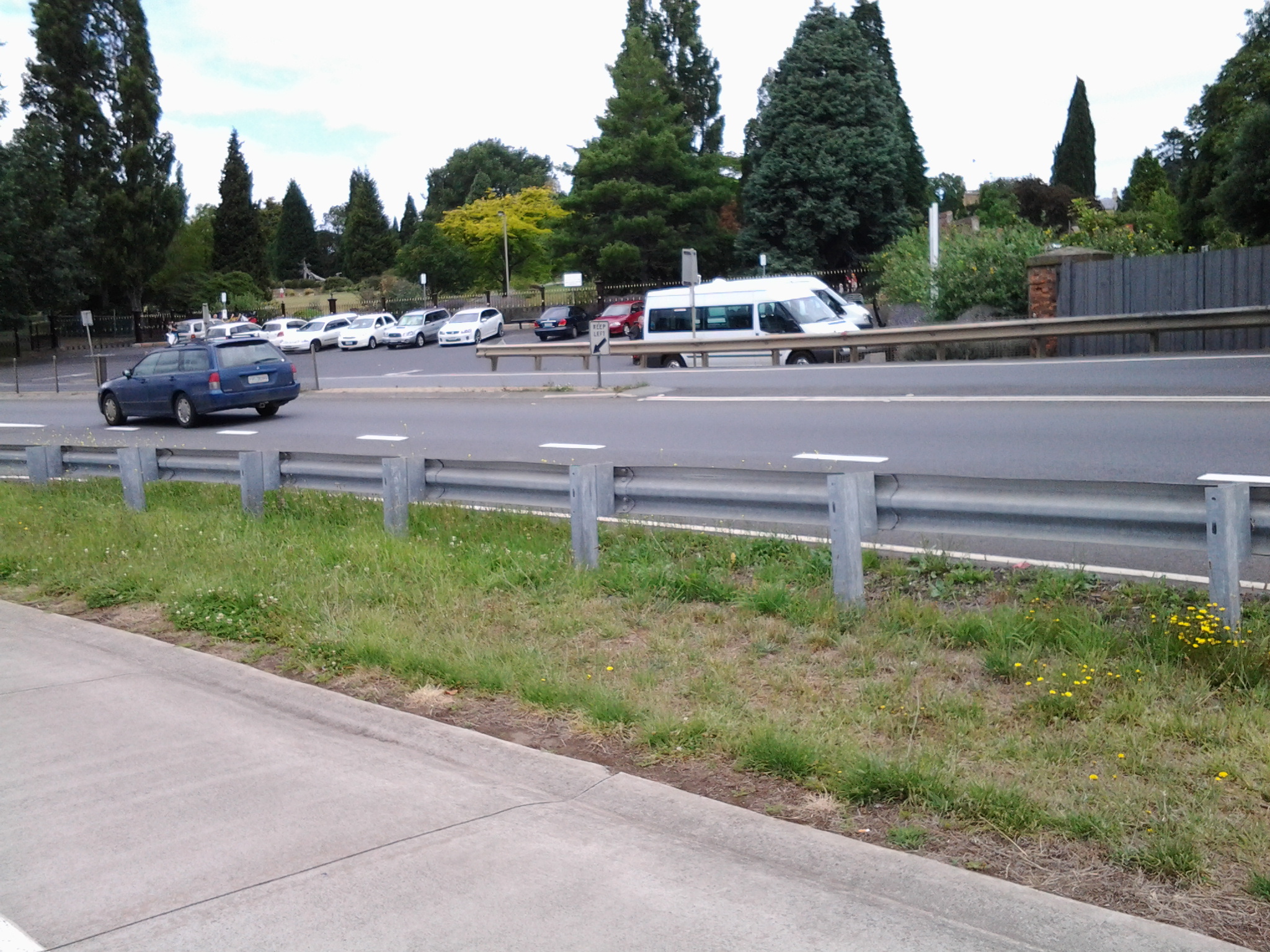
down an avenue onto the Highway opposite the Aquatic Centre, then turned left and continued until I reached the Grand Chancellor Hotel, which sits opposite the end of Hunter St, at 4.38pm.  A bus stop was nearby and within moments I was on a bus travelling back to the eastern shore to my home in Bellerive.  I felt like I was glowing from the achievement of having covered so much territory and history during this Stage 10 of my walk along the Derwent River. It had been a marvellous day!

From the Tasman Bridge to Hobart’s old navy depot

Walking from Cornelian Bay towards the city of Hobart and under the Tasman Bridge was something I had not done for a few years. In the past I could see signs of homeless people using areas under the bridge but not this time. I had a sense that some sort of industrial bridge work was in progress and that the authorities would be around and about here frequently.

20150109_152735  20150109_153103

From the Tasman Bridge into the city I remained on the bike path where I was continually vigilant for cyclists riding fast and hard – to help them and to help myself, I stayed firmly to the left of the path so they could whip by.

20150109_153134

I looked over Ross Bay and across the Derwent River to the shores of previously walked suburbs such as Montagu Bay and Rosny.

 20150109_153023  20150109_153050

I looked down the river and could vaguely see the isthmus joining the South Arm peninsula to the mainland of Tasmania; an area where I walked during Stage 1 and 2 of my walk along the Derwent River.

20150109_153056

I continued along the bike path heading towards the old navy depot near the Hobart Regatta Grounds.

20150109_154621

I passed two large tug boats resting at their berths.

20150109_154926

It did not seem to take a long time and much walking before I could look back and see the Tasman Bridge was growing considerably smaller again.

20150109_155228

Uphill on my right, occasionally through the trees I could glimpse parts of the 19th century sandstone block Government House.  Further information about the House can be read at http://www.govhouse.tas.gov.au/. The flag was flying high indicating the Governor was in residence.

20150109_153126  20150109_153944

Tasmania’s new Governor is our first female Governor. Her Excellency Professor The Honourable Kate Warner AM, Governor of Tasmania was sworn into service on 9 December 2014.

At 3.55pm I had arrived at McVilly Drive which crossed my path. On the rise to my right, grandiose circus tents filled my view and I could hear a performance was underway with the booming voice of a ringmaster surrounded by pumping pop music.

20150109_155515

I discovered a family of powerful Clydesdale horses corralled by electric wire fences and comfortably grazing on the lawns around the other side of the circus.

20150109_162654

A different boom startled me. I realised a large ship somewhere close was blowing its ‘trumpet’. I was close to the main Hobart port. A seaplane flew overhead presumably with a load of tourists enjoying the view.

I turned left at McVilly Drive and instead of walking down to the water where I could see there would be no further access southwards, I chose to walk to the right along the metal sleepers of the disused railway line behind a cluster of old white painted buildings, which had started their lives as a navy depot.  Once past the back of the old buildings I walked downhill, watched a cluster of fishermen not yet catching any fish, and turned left and walked northwards along a road leading to an entrance to the navy depot.

Currently known as Huon Quays and located at 17 McVilly Drive, Hobart, you can refer to photographs at http://www.realcommercial.com.au/property-land+development-tas-hobart-501343663 and see that this set of old buildings could be sold for a hotel development.  First built in 1914 as a naval depot, the building includes a ‘Drill Hall’ (major function centre) ‘Club Huon’ (19 rooms for backpackers), ‘Commandants House’ (residence, bar and lounge) plus offices, amenities block, store rooms and night quarters. Originally this was the home port for the navy ship HMAS Huon and the drill hall was constructed for navel cadets.  According to http://www.soldierswalk.org.au/walk_domain.html, the site “served as an important training centre and home dock for a number of small naval vessels until the base was de-commissioned in 1994. The oldest remaining buildings date from 1912-13.”

What I saw on my walk was:

20150109_160405 20150109_160435 20150109_160439

I realise that with increased visitor numbers to Tasmania, accommodation can be difficult to find at times of festivals, special concerts and important sporting events, and that therefore Hobart needs more hotels. However the thought of this rather pretty building being demolished to make way for a less interesting building worries me.  But perhaps the new owners might create something in keeping with the site’s heritage. I will watch with interest.  I left at 4.07pm to continue my walk.

Pushing on to the Tasman Bridge

Leaving the delightful Cornelian Bay boatsheds behind, I followed the gravel track almost until I reached the Botanical Gardens at which time I walked up a slight rise and joined the concreted bike and pedestrian track that extends from Hobart to Claremont.  I could have walked from Cornelian Bay entirely on that pathway but it is not located as close to the waters of the Derwent River as the very smooth and wide gravel track.

20150109_150213  20150109_150750

I enjoyed looking back to see markers of where I had walked such as the white oil tanks at Selfs Point

20150109_151815

and across the Derwent River to Lindisfarne and Rose Bay which were tramped in an earlier stage of my walk along the Derwent River.

20150109_150743

The atmosphere on the track was gentle with the breeze softening through the casuarina trees. The sound of road traffic somewhere above me was audible but did not intrude in such a way that the sound of the water lapping onto the shore could not be appreciated.

Gradually, the Tasman Bridge seemed to be growing larger the closer that I walked towards it.

20150109_150822

The photos below show the bottom entrance to the Botanical Gardens.

20150109_151715  20150109_151834

The bike path crossed to the left over the disused railway line opposite the entry to the Botanical Gardens at Pavilion Point. I followed that way at 3.15pm in order not to stay on the main road with mainstream vehicular traffic and no footpath.

I could have followed the tracks of fishermen through the grasses and scrubby trees to the foreshore and then walked through a weedy parkland and past the Mercantile Collegiate Rowing Club building. I did not take this route because it looked like the length of it was fenced off and I doubted I would be able to get back onto the road or path near the Bridge. My feet were sore and I was aiming to reach Hobart – I did not want to retrace my steps, and therefore I took the easy way out and stayed on the road.  However, once I reached the Rowing Club building I could see that an exit would have been easy because there was no fence or gate on the other side of the building.  It seems that the foreshore would have been easily walkable.

20150109_152513  20150109_152721

Until I reached the Tasman Bridge I walked on the edge of a road and shared this with cyclists, a jogger and the occasional van and car.  At 3.30pm I reached the Tasman Bridge and rejoined the bike path.

20150109_152804

Visiting Cornelian Bay

With Selfs Point behind me, I could see the Cornelian Bay cemetery through the locked gate and up above the crumbling cliffs to my right.

On closer inspection, I was happy to discover part of the fence near the gate had been peeled back for pedestrians like me.  Through I went.

Twenty or so metres below, over mown grass, I reached a walking track at 2.20pm. This gravel pathway, with its strong views of the Tasman Bridge, wound around the hill and down to Cornelian Bay and its narrow beach, with a view of Mount Wellington in the distance. Exceptionally pleasant and other walkers were also enjoying the experience.

20150109_142127  20150109_142311  20150109_142604  20150109_142844

Walking along the shore of Cornelian Bay is a calming experience.

20150109_143849  20150109_143918

By 2.36pm I was sitting outside the Boathouse Restaurant not far from the public toilets, a free gas BBQ area and a kid’s playground. I stopped to eat some more of my preprepared lunch. The day was cooling and so I did not take the opportunity to buy an icecream like some of the other many visitors to this lovely area. They were feeding ducks, walking their dogs, playing, meandering, and eating. A very comfortable existence.

At 2.44pm I continued walking around Cornelian Bay by choosing leftward tracks that passed empty oyster shells bleaching on the shore, and moved toward a row of attractive boathouses.

20150109_142753  20150109_143834  20150109_144806  20150109_145107

These are the most expensive boathouses in Tasmania and I noted one was up for sale (if you have a large pocket full of money and are interested, go to http://charlottepeterswald.com.au/property/36-cornelian-bay-new-town-00161878).  Another website shows a boathouse which sold recently: http://www.realestateview.com.au/Real-Estate/boatshed-cornelian-bay-new-town/Property-Details-sold-residential-6528149.html.

I reached the end of the row of boathouses at 2.55pm, and walked across a tiny beach to meet with the continuation of the track southward. This spot was idyllic and secluded. A couple of locals were cleaning the barnacles off the bottom of their dinghy.  Everything was peaceful.

20150109_145335

Heading for Selfs Point as it juts out into the Derwent River

Leaving Lutana, I crossed the bridge on the Queens Walk by turning left off Risdon Road.

20150109_130759

Close by was a sign indicating I was now in the City of Hobart and part of the New Town Bay Reserve. I turned left into Marine Esplanade.  A massive Graham Family Funeral direction sign sat in a rugby field on one corner implying a funeral business was behind.  But it is not – the business premises are located perhaps a kilometre or more away within the suburb of New Town.

As I walked along the gum tree sided Esplanade with New Town Creek to my left, I inhaled deeply of the fresh eucalypt smells. A little before 1.15pm I reached the Tasmanian Bridge Association clubhouse. A minute or so later I passed a University of Tasmania building and stood on a landscaped circle of land marking the mouth of New Town Creek as it enters into New Town Bay.

20150109_131411

Continuing amidst trees by the water’s edge I walked outside a high mesh fence marking the territory of a Sewage Treatment Plant.

20150109_131757

A little after 1.20pm, I was forced to turn back and retrace my steps. The property on which the oil tanks stand was effectively fenced, and the barb wire topped mesh extended out into the water. I wasn’t welcome to continue.

20150109_132116

Irritated, I plopped down on some rocks at the edge of the Bay and nibbled on some lunch.

20150109_132028

For the first time that day I felt the effects of a strengthening wind. I liked watching the MONA ferry dragging a chain of churning white water like a fluffy tail, as it travelled between Hobart and Berriedale.

This route was a pleasant and safe distraction but it did not help me to reach Selfs Point.  And then, as I walked back I found there were no connecting pathways between the Esplanade and Selfs Point Road. But I was not unhappy to have walked this way.  It was really tranquil moving along beside the edge of the Creek and then New Town Bay and the return walk.

In addition, the deviation was valuable because it allowed me to muse about the walkings of Charles Darwin, the English naturalist and geologist best known for his contributions to evolutionary theory. Darwin sailed to Hobart on the Beagle at the end of January 1836 and departed in the middle of February.  You can read more information about his Tasmanian stop over and his opinions at http://www.utas.edu.au/library/exhibitions/darwin/hobart.html.  A few years ago I was told that Darwin decided to climb Mount Wellington by starting at New Town Bay and following New Town Creek.  However, I can find no evidence of this and, in fact, the Royal Society of Tasmania states Darwin only made two attempts to scale Mount Wellington and both were from the South Hobart direction.

By 1.45pm, I had returned to the Queens Walk and turned left to find another route to Selfs Point.

Lutana

Having made the decision not to visit the industries that hug the edge of the Derwent River during my Stage 10 walk, I turned right and walked down hill along Derwent Park Road on the footpath passing the Veolia recycling plant, turned left at Cox Ave then right at Furneaux Avenue. This route gave me the opportunity to surprise a friend by dropping in unexpectedly.  Two hours later after wonderful cups of tea I ventured out again.

There are many suburban routes over the Lutana hill and I chose to walk up O’Grady Avenue (which made me think of one of Australia’s elite cyclists Stuart O’Grady who was a major player in Le Tour de France and other international races, but has now retired) turned right into Bowen Ave, left into Michael St, left at Lennox, and right at Ledwell St.

This route presented superb views to the north and the south.  Views of the suburb of Moonah to the north and north west included:

20150109_123334  20150109_123338  20150109_123611

To the south and east, the views included Bedlam Walls and East Risdon State Reserve on the other side of the Derwent River.  This gave me a perspective I never had when walking on that side of the River in an earlier stage.

20150109_123854  20150109_123912  20150109_124333

There came a point where I could see the Tasman Bridge in the distance (staggering now to see it was so far away and yet I walked under the Bridge and continued onto Hobart later that day).

Towards Tasman Bridge

Landmarks further south include large white fuel tanks. These were clearly visible from a number of vantage points as I walked over Lutana.

20150109_124401  20150109_130014

I continued downhill on the southern side, until I crossed Ashbolt Crescent at 12.45pm. I was surprised to find a golf course designed to flow on either side of Reece St, a normal suburban street that I walked down to reach Risdon Road.

20150109_124651

The visual highlight of this part of the walk was the graphic nature of tyre marks on the streets from hoons doing wheelies and other mark making with their vehicles.  I liked looking at the result and have made this image my computer screen background for the moment.

20150109_124407

Once down onto Risdon Road I turned right and followed it parallel to New Town Bay in a westerly direction towards New Town Creek. About 1pm I was passing the Waterfront Lodge, motel accommodation which I did not know existed.

.Waterfront Lodge on Newtown rivulet

Five minutes later the Apex Park was on my right and on the other side stood the Culloden Hot Take Away Store with the glorious backdrop of Mount Wellington.

20150109_130559

When I stood and looked south, I could see a few tombstones of the huge Cornelian Bay cemetery between the trees on the distant small hill. In this photo, a smidgin of New Town Bay appears in the left of the photo through the vegetation.

Cornelian Bay cemetary from Lutana

At 1.07 I reached the junction of Risdon Road with the Queens Walk,where a bridge crossed New Town Creek.

There is more to GASP beside the Derwent River than perhaps seen in first inspection

During Stage 10 of my walk along the edge of the Derwent River and a few minutes before 9am I had walked to Wilkinson’s Point the mostly southern end of the GASP (Glenorchy Arts and Sculpture Park) where I was surprised to discover a redeveloped structure which now forms part of the GASP experience. This was the construction site used for the building of the Bowen Bridge which crosses the Derwent River nearby.

Now, from time, contemporary art installation exhibitions are staged here.  In fact, I expect to see something there in the next week as part of the extraordinary internationally acclaimed MOFO festival (refer http://mofo.net.au/).  The MOFO program indicates that this Friday Jan 16 at midday The Tea Cube will introduce a portable tatami tearoom for a spiritual brew.

I wandered around this site in amazement.

20150109_085808  20150109_08582020150109_085816

With my back to the Derwent River I took the following photograph with clouds over part of Mount Wellington.

20150109_085951

I loved the colour of the surface ‘weeds’.

20150109_085853

And then it was time to begin to wander southwards again back on a non -path, which some readers will recognise from my video of walking feet.  In the photo below you can see the low structure of the ex-construction site, as a dark line separating the land from the water.

20150109_090654

Looking northwards and back to the ex-construction site.

20150109_090856

Part of the new repurposed structure has been cantilevered over the Derwent River.

20150109_085938

Yesterday I completed Stage 10 of my sequential walk along the Derwent River

The goal for Stage 10 was to start at my last stopping point, MONA in the middle of Berriedale on the western shore of the Derwent River, and continue to Lutana the last suburb of the City of Glenorchy before the City of Hobart starts. But I went further.  Much further.  Almost much further than my feet could take me.  I walked to Hobart.

Over future posts I will write up the stories of the walk, what I saw and what I experienced, but for now it’s enough to say that I am continuing with this massive project to walk both sides of the Derwent between the mouth and Bridgewater, and then onwards to Lake St Clair. Once I get walking it is always so addictive.  Even when my feet feel crippled, I say to myself … ‘go just a little bit further. What else will I be able to see with fresh eyes?’

The day was gloomy with a cloudy sky, and Mount Wellington had veils of clouds covering at least part of its prominence most of the day. But it didn’t rain and so was perfect for walking.  However, the weather ensured the photographs were without sunshine.

Yesterday I covered 12 kilometres of the length of the Derwent River on the western shore (making 22 kms in total on the western shore), and walked approximately 19 kilometres (making a total of 130 kms to date) to achieve that distance. This distance also takes in the streets and paths on which I walked that led to dead ends so that I needed to retrace my footsteps.

Of the many highlights of the walk, I saw the building that once started life as Rosetta Cottage, and powerful Clydesdale horses with their large hairy feet.

20150109_162649

I surprised a friend still in pyjamas when I went visiting for the first time in my walks. The hot cups of tea were most welcome.

I am always excited when I walk the striped edged boardwalks of GASP (Glenorchy Arts and Sculpture Park) or pass the boatsheds of Cornelian Bay and it was no different yesterday.  See the photos below for a taste of the colour.

20150109_084404  20150109_145335

I very much enjoyed looking at the eastern shore where I had walked during past stages and seeing the landscape from a different perspective.  I felt it made the Greater Hobart Area seem undeveloped in a way which is quite amazing for a capital city. For example, Bedlam Walls on the eastern shore from the western shore of the Derwent River, in the photo below.

20150109_123940

From comments I have received, I know my walks are inspiring others to think about what they might do. Even if you choose not to walk, perhaps you can set yourself other challenges.

My next walk will start at Hunter St at Sullivans Cove on the wharf in Hobart and probably extend to Kingston.  But before then I need to record the details of yesterday’s walk.

Rosetta on the Derwent River

My next walk along the Derwent River will start half way through Berriedale and pass by the suburb of Rosetta before moving onto others. I have tried to discover how Rosetta came to be named and, while I learned a little of its history, I am not certain why it was given this name.  However, I believe that our local suburb of Rosetta is indirectly named after an Egyptian town.

I suspect it all started around the time when the internationally known Rosetta Stone was found in 1799 (note: the first European settlement along our Derwent River started in 1803).  The Rosetta Stone was found by French soldiers, (under Napoleon Bonaparte’s command) who were rebuilding a fort in Egypt, in a small village called Rashid (but known as Rosetta by the Europeans).

Wikipedia offers the following information: “Rosetta (Arabic: رشيد‎ Rašīd IPA: [ɾɑˈʃiːd]; French: Rosette) is a port city on the Nile Delta in Egypt, located 65 km east of Alexandria. Both the Arabic name Rašīd (Interesting unrelated sideline is that Ar-Rašīd meaning “The Guide”, is one of the 99 names of Allah) and the western name Rosetta or Rosette (“little rose” in Italian and French respectively) are corruptions of a Coptic (language from the native Christians of Egypt) word, Rashit or Trashit.”  I can pronounce Trashit, Rashid and Rosette/Rosetta so that they sound similar. Can you?

Read http://www.touregypt.net/rashid.htm#ixzz3NvMb6Iyk for more information about the town of Rashid. Apparently the highly green Egyptian town on the Nile River was typically tranquil with vast gardens, orchards and date-palm plantations, in addition to a multitude of beautiful historical houses, inns and mosques adorned with exquisite decorative inscriptions and woodworks. The town was known as the ‘Rose of the Nile’ by Europeans. I guess the name Rosetta was given to our suburb for the underlying European meaning of rose; a thing of beauty.  Hobart’s Rosetta is located on the southern side of Tasmania’s major river in a beautiful setting within the City of Glenorchy as part of the Greater Hobart Area.  However it is neither a city nor a port.

In 1807 as part of the Alexandria/Fraser expedition to Rosetta in Egypt, British forces led one group of local inhabitants in a civil war against another group led by a local leader.  Britain’s intention was to break the Ottoman-French alliance. As a result, in the first decade of the 1800s, I suggest that Egypt would have been highly visible in English news and the battles would have been known in the colonies.

Irene Schaffer, a Rosetta resident and local researcher offers historical information about the original settlement at http://www.tasfamily.net.au/~schafferi/index.php?file=kop79.php. John Berrisford and wife arrived in Australia from England on the First Fleet in 1788. Then, in 1808 John and his family sailed to Hobart Town. In subsequent years, they settled along the Derwent River in the area now known as Berriedale Bay and which extended to the south-east past Rosetta High School, and they built Rosetta Cottage (later renamed Undine Inn). 140 acres of land, now part of our suburb of Rosetta, was granted by NSW’s Governor King to John Berrisford in 1813.

My last walk along the Derwent River finished at MONA a little to the north of Rosetta. My next walk will start by passing Berriedale Bay. I look forward to seeing the old house – albeit with extensions and renovations since John Berrisford was alive. A photograph of this property, now known as the Rosetta Colonial Accommodation, can be seen at http://firstfleetfellowship.org.au/stories/john-hannah-beresford/. This website also provides more detail about the Berrisford family and their history.

Perhaps, through news from England, John Berrisford heard that Rosetta was the ‘Rose of the Nile’ and, in believing the British intrusion into Egypt was glorious, named his house as a show of support.

As a contrast from the historical background, I have located a contemporary profile for Rosetta. The population is 2567, the median household weekly income is $1050, the median age of residents is 45 years, the average household size is 2.4, almost 60% are married or in a de facto relationship, almost 40% are either under 5 years of age or over 64 years of age, weekly rent is $340, and the median house price is $319,455.

History of our Claremont by the Derwent River

It is one thing to muse on who my readers are but now I am focussing on our suburb of Claremont and its history. During my last walk I passed along the Derwent River foreshore of Claremont, discovered the Claremont Plaza, walked around the Claremont Golf course and spent some time in the Cadbury chocolate manufacturing factory.

Wikipedia informs me that “Claremont is a suburb of the City of Glenorchy, part of the greater Hobart area, Tasmania, Australia. It is named after Claremont House (at 12 Lady Clark Avenue, Claremont) which was built in the 1830s by local settler Henry Bilton, who named it after one of the royal homes of England.” When you read http://www.nationaltrust.org.uk/claremont-landscape-garden/, which provides some information about Claremont House in Surrey England, you will learn that it was “Once a Dukes’ retreat and a playground for princesses…” I could find no information about whether any of England’s royal family ever visited our Tasmanian Claremont House. Probably not.

Information about the original owner of the House, Henry Bilton can be read at http://claremonthouse.com.au/history/history-private-ownership-1825-1940/. He first settled in Van Diemen’s Land in 1825 and in the following year he acquired the property on which Claremont House was built. Apparently Bilton’s occupation was a General Merchant and Importer.  The site http://www.watersideaccommodation.com/downloads/HistoricalSummarytheClaremontAustinsFerryArea04May07.pdf declares: “Claremont, or Lady Clark House as it has come to be known as, was built by the early pioneer Henry Bilton. Henry came to Tasmania on medical advice in 1825. He became a merchant and later a gentleman farmer. As the first importer of Leicester sheep to Tasmania he gained significant wealth and turned his attention to politics.”

The following photo of Henry Bilton comes from http://www.glenorchy150.com.au/gallery/.

Henry-Bilton-re Claremont

Detailed information about Tasmania’s 1839 (decades before the Californian settlement) Claremont House can be read at http://claremonthouse.com.au/history/.  Right now, the house is up for sale: see photographs and details at http://www.domain.com.au/property/for-sale/house/tas/claremont/?adid=2009725372.  Perhaps you might want to buy it!  There is no range of prices given, so the sale is ‘by offer’.

Claremont House, in the Greater Hobart Area, is located away from the Derwent River foreshore so I did not go near this during my last walk.

Claremont beside the Derwent River

I have wondered why there has been so much interest from USA readers for my posting about the Claremont Bowling Club.  The Club is an ordinary lawn bowling club the like of which is found in every town and city across Australia.  My blog site statistics do not indicate which part of the USA my readers come from, so more research was required.

The name Claremont derives from the French for clear mountain, and was introduced into England by refugee French Hugenots in the early 18th century.  The concept of clear mountain works here in Hobart because our town of Claremont sits comfortably at the feet of Mount Wellington.

There a city named Claremont in Sullivan County, New Hampshire, USA. It was named after Claremont, also known historically as ‘Clermont’, an 18th-century Palladian mansion of Thomas Pelham-Holles, Earl of Clare less than a mile south of the centre of Esher in Surrey, England.  This New Hampshire city is located between the Ascutney State Park and the Hawks Mountain area to the west and Mount Sunapee to the east.  Presumably offering clear mountains.

In addition, Wikipedia informs me that “Claremont is a college town on the eastern border of Los Angeles County, California, United States. Claremont is known for its many educational institutions, its tree-lined streets, and its historic buildings. In July 2007, it was rated by CNN/Money magazine as the fifth best place to live in the United States. Due to its large number of trees and residents with doctoral degrees, it is sometimes referred to as “The City of Trees and PhDs.”

Our Claremont in the City of Glenorchy within the Greater Hobart Area is very different than the Californian town with the same name.

In America, the Gold Rush of 1849 opened up California so I suspect the name Claremont was probably given by someone remembering their English heritage when the town was created in the 1880s, or by someone who had travelled west from the New Hampshire town of the same name.  I understand that the peaks of Mount Baldy, Mount San Antonio, Timber Mountain and others in the distance overlook the Californian city.

So now I have either or both California readers on the west coast of USA and New Hampshire readers on the east coast of the USA.  Will the real reader/s stand up!

A sparkling night over the Derwent River

Happy New Year to readers. There is something about New Year’s Eve which becomes a great distraction; the focus on midnight. We can never have a foot in both one year and the other like we can when we straddle the borders between states, countries or at Greenwich when you can stand in two time zones at the one moment.  Al we can do is surrender to the ticking and suddenly the next moment is on us.  As it was when 2014 came to an end last night in Australia.

I realise, as I write, that some parts of the world are yet to reach midnight 2014. Australia is one of a very few countries to be able to celebrate entry into 2015 very early on. If you are not there yet, then I can only suggest you enjoy the countdown.

Tasmania and Hobart at the very south of the island in particular, have long days at this time of year. There is still light in the sky at 9.30pm (I know I know I know that many countries in the northern hemisphere, which stretch closer to the poles, have even longer days mid-year. I did experience the White Nights of St Petersburg in northern Russia in 2013.)

Hobart City Council stages two separate firework celebrations on New Year’s Eve; one at 9.30pm when the sky is not perfectly light and the other at midnight when the night sky is black.

Last night, nature created an early spectacle. At 9pm brilliant pink-red tinged clouds marbled across the intense blue sky over Mount Wellington, with the sun well set behind. The strident pinks rippled like the marks left when waves recede over sandy beaches. The unruffled surface of the Derwent River, singed with red, made my heart sing. Sensational.  As the mountain side darkened, spot lights from the headlight of cars driving up and down the mountain, and the street and house lights across the hillside suburbs on the western shore, began to sparkle.

Slowly, the under clouds developed grey tones and the air began to soften beautifully.  Magnificent. Gradually the clouds softened to transparent greys and whites patterning the sky over the mountain. A splendid ¾ moon gleamed nearby.

The first fireworks were well timed and blew their tops at 9.30pm as the last pink glow on grey clouds disappeared. 10 minutes of coloured light and light shapes flying through the air and the delayed booming bangs (reminding me light travels faster than sound) seemed to pass quickly. The grand finale was a crescendo of cascading lights falling from on high like a tree shaped waterfall. The light rained down. And the smoke drifted away down the Derwent River towards the mouth.

For a picture of one stage of the fireworks (although it seems mean by comparison with other stages that I saw) go to http://www.themercury.com.au/news/tasmania/thousands-of-tasmanians-party-in-the-new-year/story-fnj4f7k1-1227171557865.

Last year’s New Year’s Eve for me was dramatically different. I vividly recall 2013’s New Year’s Eve when I had a marvellous night along with thousands of others on the waterfront at Kowloon in Hong Kong.

20131228_183334

Then, after midnight, I had to walk many kilometres (along with everyone else like a swarm of insects packed across the six lane main road) back to my hotel because the train stations were so full that people couldn’t even walk into them, leave alone catch the trains.

Now we all have 12 months to consider where we might be and what we might do on New Year’s Eve at the end of this new year.  Best wishes.

The end of the Rolex Sydney to Hobart 2014 yacht race

This afternoon I needed to walk to Bellerive’s Village for basic shopping. Once there (20 minute walk) it seemed a waste to be so close to the Derwent River and not to walk around Kangaroo Bay to Bellerive Bluff and see if any more yachts were sailing up to the finish line.

Today has been exceptionally blustery and Mount Wellington keeps disappearing from view as rain squalls and clouds move across in waves.

2014-12-30 13.37.39  2014-12-30 13.39.41

It was clear to me that a major storm was passing and could reasonably be expected to travel across the Derwent River and saturate me. Nevertheless, knowing its only water and that my umbrella could be expected to be blown inside out with the wind, I walked on.  And it was worth it.

The wild water of the River showed peaks and troughs and there in the blurry distance, trying to keep close to protection of the land on the western shore close to Wrest Point Hotel Casino, two of the last yachts were fighting it out to see who would cross the line first.

2014-12-30 13.40.23  2014-12-30 13.41.19

At home I have checked and learned that the two were Maluka of Kermandie and Charlie’s Dream.  As I stood on that windswept shore, I could see it was a battle between the two but I was surprised to discover their finish time had only 3 seconds between them. Can you imagine?  After hundreds of miles/kilometres in some very testing weather, three seconds separated these two at the line. Inspirational!  The message for me was that one must never give up; I must keep pushing onwards.

Only two yachts are yet to cross the line. One is charging up the Derwent as I type and has almost reached the finish line (Southern Myth) and the other seems almost to be stalled in Great Oyster Bay slightly south of Freycinet peninsula on Tasmania’s east coast.  I can only imagine that yacht is taking it slow and easy to cope with the weather and arrive in one piece.  Many yachts have withdrawn from the race with expensive rigging, sail, rudder, lost masts, and other boat damage. Perhaps the last yacht, Landfall, is considering making landfall earlier than the Hobart docks.

If you don’t mind thickly padded appearances and wind-blown hair, then today is a wonderful day to be wearing your winter woollies and outside walking and filling the lungs with fresh (and it is fresh) air.

Kingston Beach, Tasmania

I found a tiny laneway, squeezed between residential properties, which extended from Roslyn Avenue near where I was staying in Kingston, down to Kingston Beach.  The downward stroll took 6 minutes and, later, the return trundle uphill took 10 minutes.  The easy accessibility to the beautiful foreshore is an asset for locals.  I loved the closeness of the lush vegetation along the pathway and then the openness of the Beach extending before me once I reached the Esplanade.

The morning was overcast with a moderate breeze, but the weather did not deter families, groups of children or a kayaker from enjoying the beach and water.

In the photo below the lone kayaker sets off to enjoy a paddle. The land which can be seen across the Derwent River is the South Arm peninsula. Standing on Kingston Beach, I could identify key points along that piece of land which I had walked during Stage 1 and 2: Gellibrand Point, Opossum Bay, South Arm, and Fort Direction Hill.

Kayaker

I followed a path along the foreshore northwards to Browns River and then I retraced my steps. Looking towards the mouth of Browns River as it enters the Derwent River.

Pathway along Derwent at KB

At Browns River, one side of Mount Wellington looms in the distance.

end of Kingston beach road

Kingston Beach and Browns River are located within the municipality of Kingborough as part of the Greater Hobart Area. In the photo below the waters of Browns River can be seen meeting the Derwent River.

Sign

Nearby I discovered a plaque (photo below) and its message surprised me. Browns River was named in 1804 (you can read more about Robert Brown at https://www.forestrytas.com.au/assets/0000/0185/tasfor_12_10.pdf).  From the reports of my earlier walks in this blog, you might recall that Risdon Cove was established as the first white/non indigenous settlement (on the eastern shore, and quite a few kilometres upstream from the mouth of the Derwent River) in September 1803. I find it quite extraordinary that within months of the first white settlement (in fact Brown named the River in April 1804), despite the difficulties of making a new home in this foreign land, new arrivals were off and about checking and naming other edges of the Derwent River. It wasn’t until July 1804 that the area around Sullivans Cove (the site for the central part of the current city of Hobart) was set up for permanent residency. Sullivans Cove is much much closer to Browns River than Risdon Cove, so Brown had a long way to paddle.

Browns River plaque

The photo below looks back towards the centre of Kingston Beach from the Browns River northern end.

kb 2

I loved the trees and was especially impressed by one of the flowering gum trees next to the foreshore walkway.

gum blossom

The stroll from the one end of Kingston Beach to the other takes about 15-20 minutes and represents approximately 1 kilometre of the Derwent River’s length.  Immensely pleasant.  If you haven’t enjoyed this part of the Greater Hobart Area, or it’s a while since you have travelled here, then I strongly recommend you make a visit.

Fish and chip shops, cafes, a sad looking motel and Duncan’s Beachfront Motel Hotel are located across from the beach.  Some readers might know Slim Dusty’s song ‘I’d like to have a drink with Duncan’ (refer to http://www.lyrics007.com/Slim%20Dusty%20Lyrics/Duncan%20Lyrics.html for more information). Jo will recall the hilarious fiasco at a fashion parade in Darwin when this music coincided with a bridal dress being shown on the cat walk.  I wonder who Kingston’s pub is named after? Anyone know?

shops and cyclists  Motel  Duncans pub

Along the street travelling away from the beach towards Hobart, you will pass an assortment of outlets including hair salons, service stations, a community hall and, very surprisingly, the Wafu Works which is a shop selling vintage authentic Japanese fabrics.

Japanese Wafu Works  Japanese fabric shop

Simple street art in the form of inset mosaic panels have been incorporated in the pavements.

Mosaic in pavement  Street mosaic in pavement

This part of Greater Hobart is very attractive, and I am vowing to visit more often.

Getting out into the air at Kingston Tasmania

Twenty three minutes of walking, mostly along Auburn St in Kingston, was rewarding for the profusion of native and exotic vegetation, the family of pardalote birds, the friendly locals, the lone sulphur crested cockatoo, the occasional glimpse down to Kingston Beach between houses, and the still silvery almost disappearing Derwent River.

Kingston Beach from Auburn St v3

At the end of my walk was the Channel Court shopping centre (http://channelcourt.com.au/directory/) at Kingston with new and old parts ( I am yet to walk to the Kingston Shopping Centre). Perhaps years have passed since I was here and the building extensions and diversity of dozens and dozens of shops surprised me.

I found what I needed, made my few purchases and was eager to leave. So many people, so many trolleys, so many bags, so many cars, so many travellators where people forget they are meant to continue walking, so much tinsel, so much ‘festive’ music,  and so much to consume if you want to keep spending. Overlaying all that experience was the deadening sound of air conditioning noise which all shopping centres have.

I am not an enthusiastic shopper and very quickly I looked forward to the return walk home.  In particular, I was hoping to get a good photo of this side of Mount Wellington. However, since the rain has stopped, the rising steam is clouding the base of the mountain. Unfortunately, except when I am close up with glowing colourful flowers, the silvery air washes out the landscape.  So I will return another day and hope to click a definitive shot of that spectacular natural edifice.