Tag Archives: Lindisfarne

Powerboat racing on the Derwent River

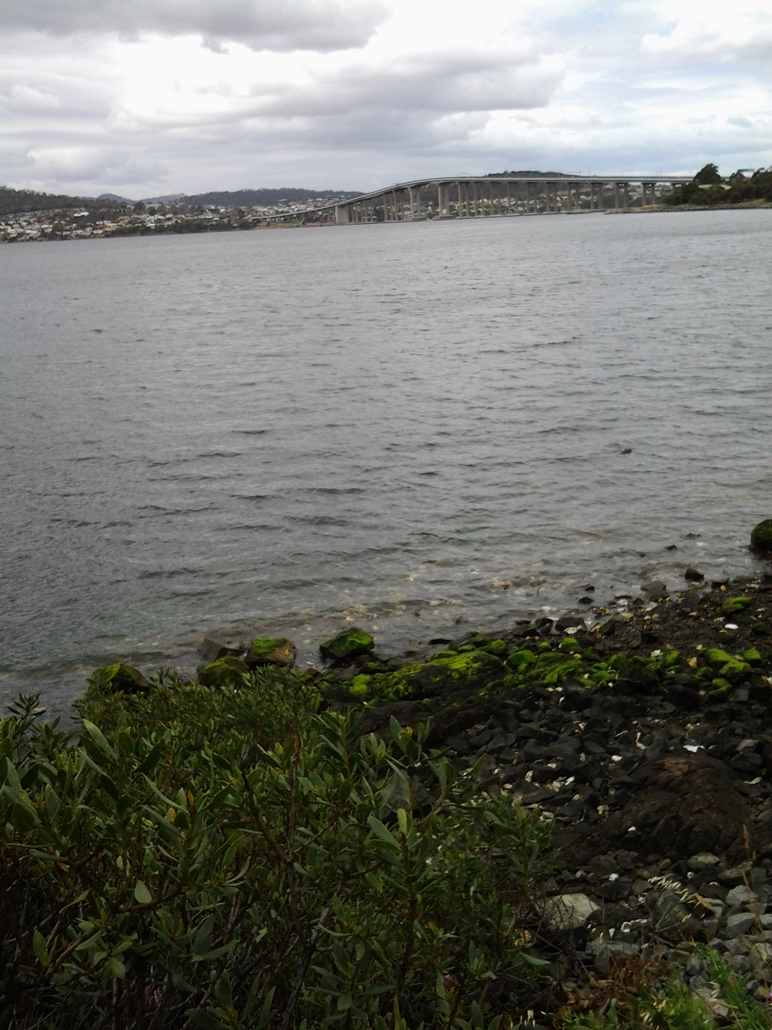
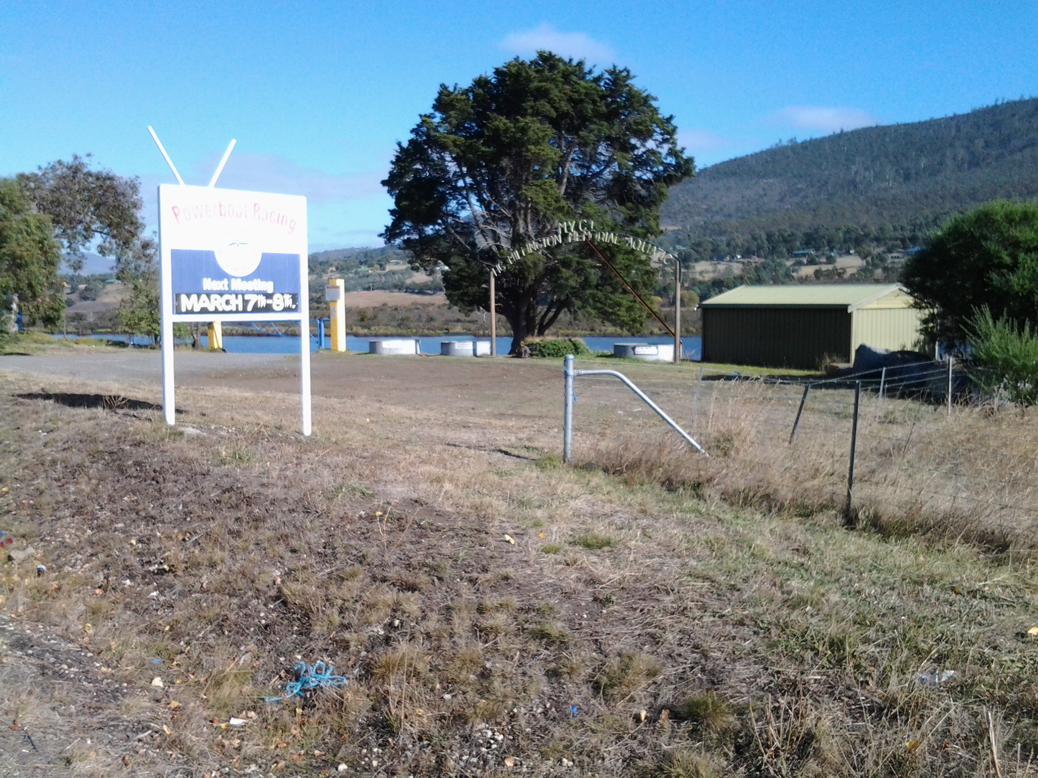
I discovered the northern end of the Murphys Flat wetlands area came abruptly to a stop at the competition grounds for the Motor Yacht Club of Tasmania’s (MYCT) powerboat racing events (more information further below).

The area has a bland, functional entrance and I guess all the action and beauty happens on the Derwent River.

20150413_095502

The site is shared with another aspect of local community history.

20150413_095539

A metal arch over nothing and through which you don’t seem to be directed to walk, features the words HC MILLINGTON MEMORIAL AQUATIC with the letters MYCT over the top of the arch.  Millington’s Funeral Directors are well known in Hobart and it seems that the archway refers to Mr Harold Charles Millington who started out as a sometime professional cyclist and a wood craftsman before entering the funeral industry when, during the 1930s depression, people couldn’t afford new furniture but they died and were in need of burial coffins.  He died in 1969 so I am guessing the archway was built in the 1960s. I found Australian Powerboat Racing Association records for 2012 indicating the HC Millington perpetual trophy was no longer in use or destroyed. Was the dramatic archway and the trophy philanthropy, pure sponsorship or the result of lots of business arising from the area?  Why such an arch in an area where there are no houses and people would seldom visit?  Does anyone know the answer?

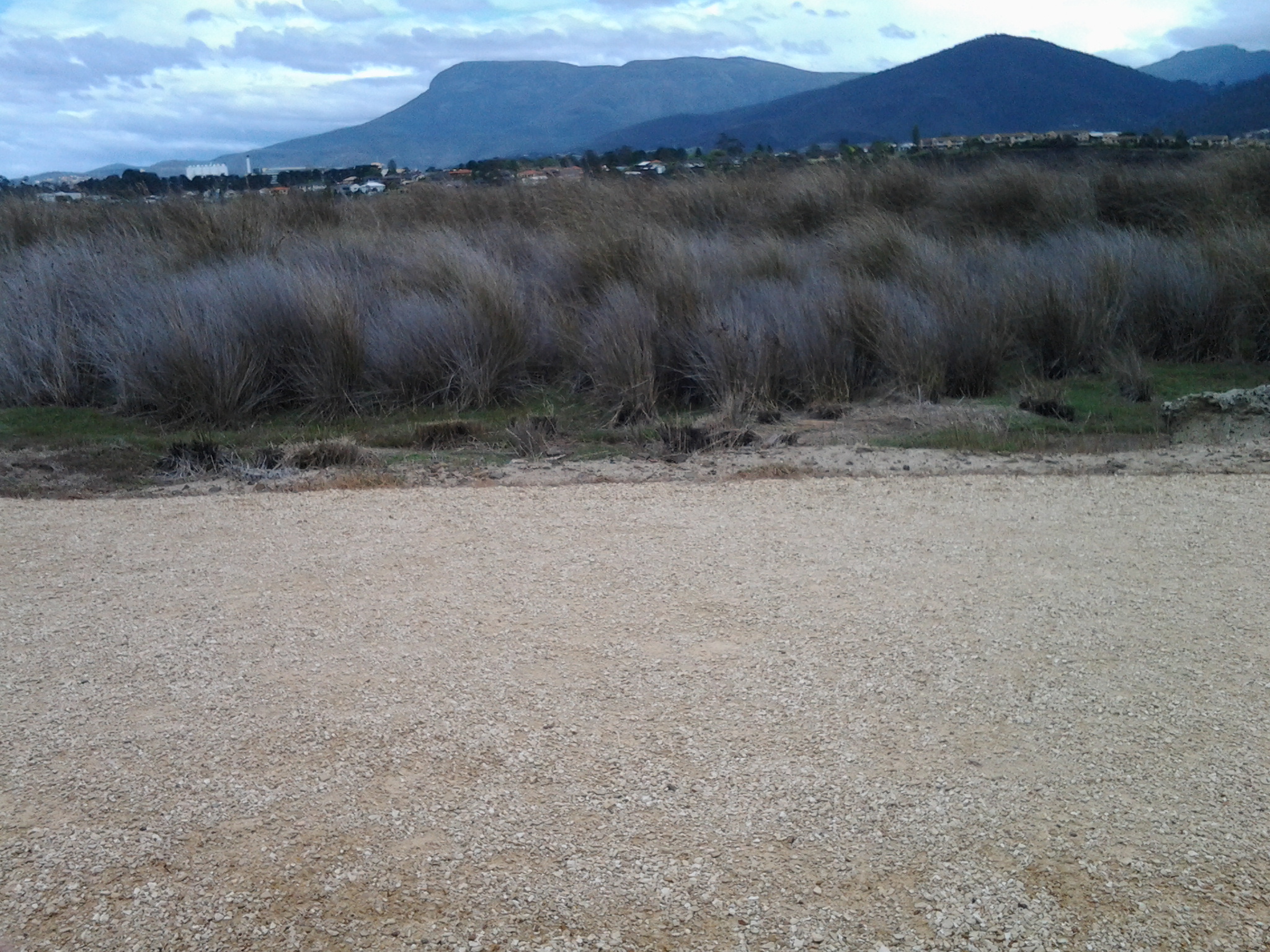
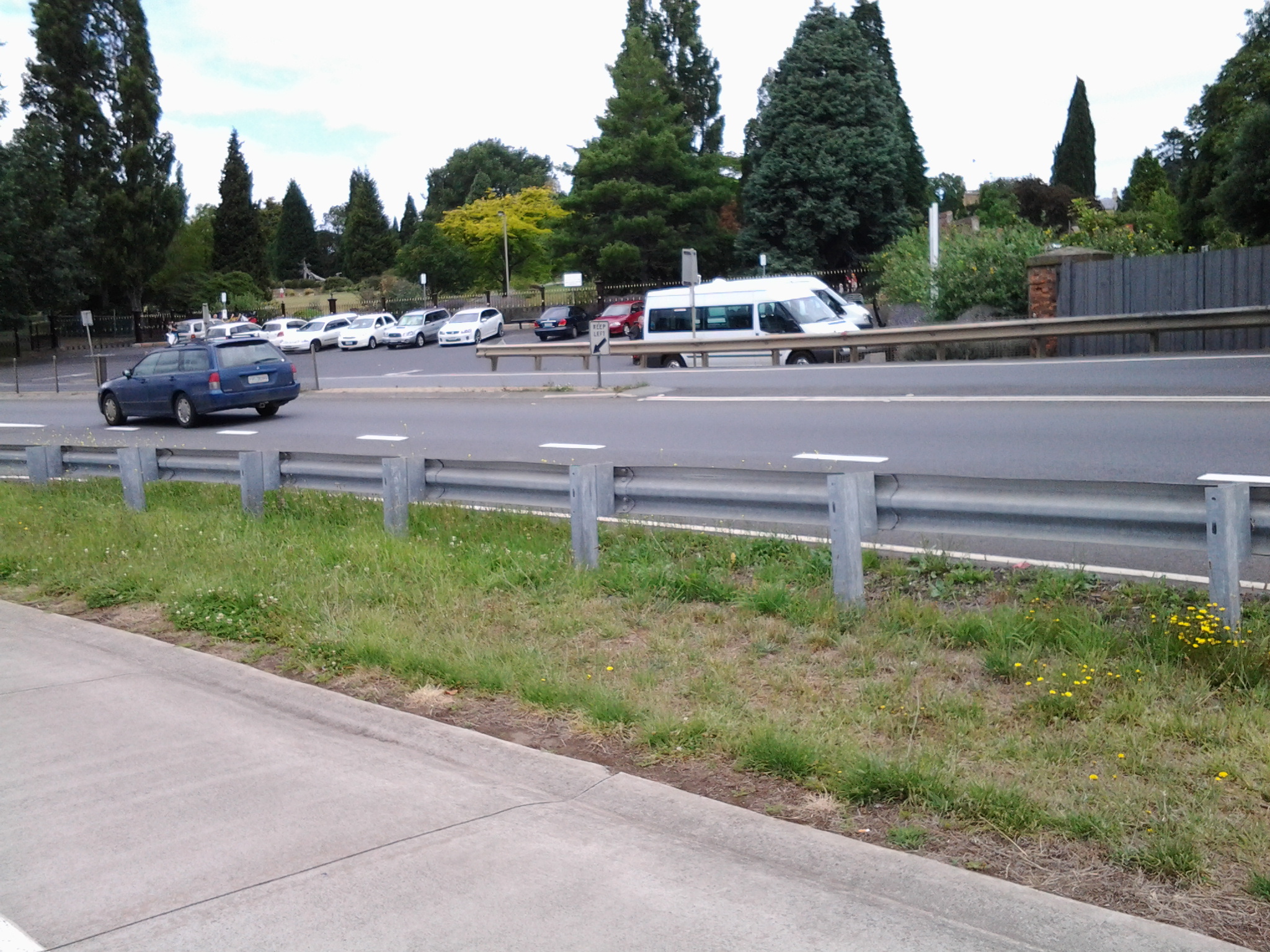
The area has been well cleared for vehicles and their boat trailers to be parked. This provided a dramatic contrast after the density of vegetation along Murphys Flat.

20150413_095628 20150413_095621

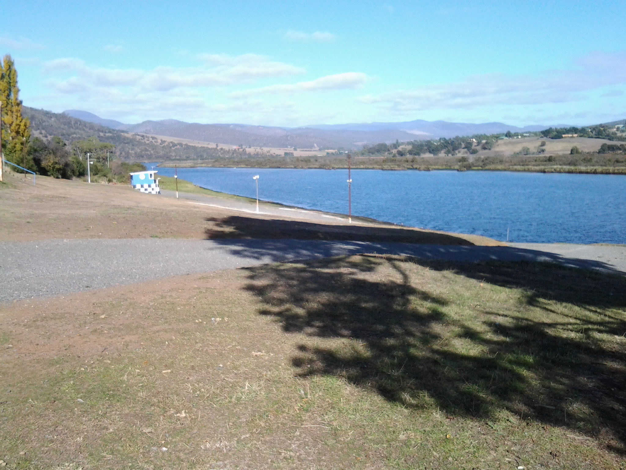
Even though the MYCT is based in Lindisfarne (I passed its club house during an  earlier walking stage), it runs powerboat racing competitions in conjunction with the Tasmanian Council of the Australian Power Boats Association, around Tasmania including at this Derwent River side facility between Granton and New Norfolk. Interested? Want to know more? Go to http://tasapba.com/about_us.html and at least one or two photos look like they were taken on the Derwent River.

As I researched information about the site, seeking the quirky and unexpected, I found that a Dianas on the Derwent race meeting is scheduled annually. No idea what that really means but I have taken a fancy to the title. In Roman mythology Diana was a virgin goddess of the hunt, the moon and childbirth with the power to talk with and control wild animals.  Perhaps the Dianas on the Derwent is a very young women’s racing event, where they hunt a winner’s trophy by racing at night, and their boats are their wild animals that require taming.  But childbirth?  Where does that fit?  Then I discovered a couple of You Tube videos and a related Facebook page. For example, https://www.youtube.com/watch?v=bs15dNuhMcw. In the video note the hands look male – so my theory about living goddesses driving speedboats seems to have flown. So what is this Diana thing about? Anyone know?

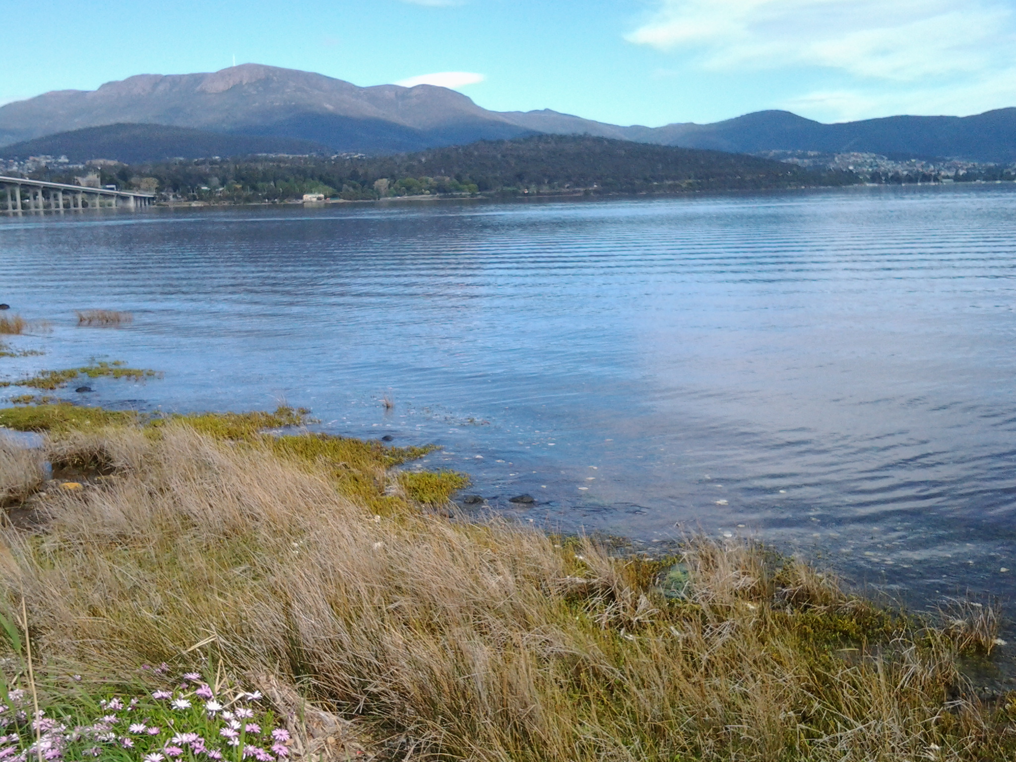
A 10 am I was back walking on the Lyell Highway having discovered that access to the road northwards along the Derwent River shoreline was impossible with barbed wires fences blocking the way.

20150413_100035

Finding information – ‘time walk from lindisfarne to Hobart city’

Today on my blog statistics page, I noticed someone from somewhere entered into their search engine, the following words: time walk from lindisfarne to Hobart city

I understand travellers and locals want to know this type of information but websites have not been set up to help.

Based on my knowledge, and for an average strolling style walk, I guess the time from Lindisfarne to the Tasman Bridge would be no more than half an hour (only 2.1 kms from Lindisfarne’s Simmons Park to the Bridge), allow 20 minutes to negotiate your way across the bridge on the narrow pedestrian path with cyclists and pram wielding mothers, and then on the western side into the city the walk takes about 20 minutes.  This makes a total of approximately 1 hour and 10 minutes to complete the walk. At the beginning and end of the day, there is a constant stream of walkers and cyclists making this trek to and from work in the city.  A healthy and pleasant way to live a life.

Kunanyi

Mount Wellington was a prominent feature in the lives of the Moomairremener people for thousands of years before white settlement of Van Diemens Land, later to be renamed Tasmania.  The indigenous names include Kunanyi, Unghbanyahletta and Poorawetter. I understand that the Palawa (which seems to be a collective term for all Tasmanian aborigines – perhaps a blog reader might be able to supply further information?) who are the surviving descendants of the original indigenous Tasmanians, tend to prefer the former name – Kunanyi.

A couple of years ago, the Tasmanian government introduced a dual naming approach to a number of geographical features around Tasmania, and these included the mountain which towers over the Greater Hobart Area and the Derwent River. The then Premier Lara Giddings remarked ‘Dual naming is about recognising the Aboriginal community’s rightful status as the first inhabitants of this land and celebrating their living culture, traditions and language’.

20140926_123103

Photo taken from Bellerive Bluff on Stage 4 of my walk along the Derwent River.

20141010_103145

Photo taken between Rose Bay and Lindisfarne on Stage 5 of my walk.

20141031_132509

Photo taken from Old Beach on Stage 7 of my walk.

20141111_104035

Photo taken from Green Point on Stage 8 of my walk.

I am including a posting specifically about ‘the mountain’ as locals refer to it, because it has been a significant marker on my trek from the mouth to the mouth of the Derwent River via the Bridgewater Bridge, and I am about to lose sight of it.  From Granton, as I walk west along the River and then northwards, the mountain will no longer be in view.

Current official information about walking tracks, facilities, weather related precautions and other details associated with the mountain can be read at http://www.wellingtonpark.org.au/  Note that you can download maps from this site.

Pushing on to the Tasman Bridge

Leaving the delightful Cornelian Bay boatsheds behind, I followed the gravel track almost until I reached the Botanical Gardens at which time I walked up a slight rise and joined the concreted bike and pedestrian track that extends from Hobart to Claremont.  I could have walked from Cornelian Bay entirely on that pathway but it is not located as close to the waters of the Derwent River as the very smooth and wide gravel track.

20150109_150213  20150109_150750

I enjoyed looking back to see markers of where I had walked such as the white oil tanks at Selfs Point

20150109_151815

and across the Derwent River to Lindisfarne and Rose Bay which were tramped in an earlier stage of my walk along the Derwent River.

20150109_150743

The atmosphere on the track was gentle with the breeze softening through the casuarina trees. The sound of road traffic somewhere above me was audible but did not intrude in such a way that the sound of the water lapping onto the shore could not be appreciated.

Gradually, the Tasman Bridge seemed to be growing larger the closer that I walked towards it.

20150109_150822

The photos below show the bottom entrance to the Botanical Gardens.

20150109_151715  20150109_151834

The bike path crossed to the left over the disused railway line opposite the entry to the Botanical Gardens at Pavilion Point. I followed that way at 3.15pm in order not to stay on the main road with mainstream vehicular traffic and no footpath.

I could have followed the tracks of fishermen through the grasses and scrubby trees to the foreshore and then walked through a weedy parkland and past the Mercantile Collegiate Rowing Club building. I did not take this route because it looked like the length of it was fenced off and I doubted I would be able to get back onto the road or path near the Bridge. My feet were sore and I was aiming to reach Hobart – I did not want to retrace my steps, and therefore I took the easy way out and stayed on the road.  However, once I reached the Rowing Club building I could see that an exit would have been easy because there was no fence or gate on the other side of the building.  It seems that the foreshore would have been easily walkable.

20150109_152513  20150109_152721

Until I reached the Tasman Bridge I walked on the edge of a road and shared this with cyclists, a jogger and the occasional van and car.  At 3.30pm I reached the Tasman Bridge and rejoined the bike path.

20150109_152804

Leaving home last Friday towards the start of Stage 7 of my walk along the Derwent

From my house early morning, I could see a mirror sheen across the Derwent River. This promised a great day for walking and so I was eager to get going.  Unfortunately the bus service to the area I was starting from departs only every couple of hours. Eventually I caught the Metro bus 694 when it passed through the Eastlands Shopping Centre bus mall at 9.13am.

The bus passed through upper Lindisfarne as it headed along the East Derwent Highway. When I looked left across the Derwent River, my view of the top of the mountain was cut off by a thick resting white cloud. The roads were calm. People were at work and kids at school. When we passed Geilston Bay I could the water was serenely flat. By this point, I was the only passenger on the bus and felt luxuriously chauffeured.  We detoured for a scenic view through the upper Geilston Bay residential area, then back to the highway.  As we travelled onwards, I noted the start of the trail to Bedlam Walls which I had walked previously, then the electricity pylons and fire trails marking the East Risdon State Reserve. The Willows Tavern loomed on the left and on the right hand side of the highway I glimpsed the starkness of the barb wired fencing of the state Prison.

At the roundabout (where I wanted to go left) the bus turned right to travel through the suburb of Risdon Vale.  Lots of small weatherboard houses and lawns with a few bushes rather than complex luscious gardens. ‘Donut’ burnout tyre marks on the intersections of roads. Rooves needing paint.  Neat and tidy. Streets prettily named after plants: Spinifex, Sycamore, Lindon (although Lindon Park had no Lindon trees), Poplar, Heather, Banksia, Kerria, Hawthorn, Marlock, Gardenia, Lantana and Holly.

Side view of the mountain: I marvelled at the speed with which clouds were being pushed across the top of the mountain southwards.

At 9.39 I was off the bus just before the junction of Saundersons Road, Risdon with the East Derwent Highway.  This is on the southern side of Risdon Cove. Around the corner of the road in the photo below, I could look over the railing in the direction of the Derwent River.

20141031_093816

I walked to that distant railing and realised that walking on the road would be very dangerous with traffic speeding on the narrow lanes.  I legged it over the railing and walked on the River side. The photo below is one of my first views.  Note the pair of black swans.

20141031_094126  20141031_094118

No longer did I have Mount Wellington as my standard backdrop across the water. In the photos above, the elevated section on the other side of the Derwent River (above the Bowen Bridge) is the Mount Faulkner Conservation Area.

Walking from Lindisfarne to Geilston Bay along the Derwent River last Friday

Gask

Talune St, Lindisfarne ended at the edge of the Derwent River, so I turned right to follow a pathway. At 11.45am the pathway continued along an extension of Paloona St before changing back into a shoreline Trail. Further on and next to the Clarence Foreshore Trail, an attractive weatherboard house named ‘Gask’, with an expansive enclosed verandah framing extensive Derwent River views, attracted my attention. Apparently this home was built in 1900 as a holiday residence for Dr William Crowther (but more research required confirming this because birth dates and the house dates do not make a suitable match). The property, originally named Villa Rose was renamed Gask, although I can find no explanation for this name. In 2010, the house was sold for over ¾ million dollars.

The Trail continued past the sweeping Koumala Bay where I watched the camouflaged catamaran speed past carrying its cargo of visitors from MONA to the city.

20141010_114355

In the photo below I have almost walked to Limekiln Point and the headland in the distance is Bedlam Walls Point. Limekiln Point is the southern location which corresponds with the northern Bedlam Walls Point across the other side of the gap where the Derwent River meets the waters of Geilston Bay.  At Limekiln Point I saw no remnants of any limekiln. Apparently Geilston Bay was initially named Lime Kiln Bay, so perhaps the lime works were centred around the curve of the Bay (more research required).

20141010_115251

Bedlam Walls Point will be the official starting point for Stage 6 of walk along the Derwent River.

My first view into Geilston Bay looked as follows:

20141010_120134

Closer to the Bay, my views included the following image which shows the walking track on the other side which I will follow in Stage 6 of my walk along the Derwent River:

20141010_120139

At midday, approximately 1km of my walk to the Geilston Bay Regional Park remained. The Trail became a gravel track, and while parts of the track earlier would have been suitable for someone using a wheel chair or crutches, much of the last 1000 metres of the track was better suited to mountain bikes, despite not being very hilly. Gardens cascaded down to the edge of the path and private uphill stony stairways ended in gates and fences. Jenny Wrens flitted through the undergrowth. Raucous sulphur crested cockatoos flew  screeching overhead. Colourful. Tranquil. Glistening light. Far from the maddening crowd (with apologies to Thomas Hardy). A perfect day.

I appreciated the skill in building a dry stone wall.

 20141010_120126

Sighting the first massive almond tree filled with growing fruit was a surprise, and then when I saw a few more I was amazed. Obviously, these were self-seeded and reseeding.  All growing between the Trail and Geilston Bay’s water edge.  I wonder when they will be ready to pick and eat.  Perhaps December or January?  Since they grow on public land, it will be a matter of first in first served.

Eventually the gravel pathway met with a formal Foreshore Trail and I continued around the Bay until I spotted a bench on the grey weathered wharf in front of the Geilston Bay Boat Club.  It was time to enjoy the view of Geilston Bay, Hobart city beyond and the ever present Mount Wellington.

20141010_120820

Friday’s walk was an easy simple experience and since it passed places, streets, and vistas I had never seen before, I loved it all.

Buses for walking the Derwent – Rosny to Geilston Bay and back to Rosny or Hobart

The website for Metro Tasmania is http://www.metrotas.com.au. When you get onto the bus you should ask for a DayRover bus fare so that you can get one ticket to be used on and off buses throughout the day.

Getting to Rosny Point

Only bus number 670 travels from Hobart city to Rosny Point but this only occurs late in the afternoon.  Therefore, from the city centre bus mall in Elizabeth St, Hobart take any bus travelling to the Eastlands Shopping Centre bus mall, Rosny Park. Please be aware not every bus that travels over the Tasman Bridge to the eastern shore of the Derwent River comes through the Eastlands Shopping Centre bus mall, but most of them do.  Consider buses numbered 605, 606, 608, 613, 614, 615, 620, 625, 638, 640, 642, 643, 644, 646, 648, 650, 652, 660, or 662. However, I recommend you always ask the driver for confirmation.

From the Eastlands Shopping Centre you have two choices to reach Rosny Point; bus number 670 (Rosny Park to Hobart City) or 675 (Rosny Park to Rosny Park Loop).

Once in the Rosny Point area, get off either at bus stop 20 or 21. Then take the road that travels down to the water from between these two bus stops. Continue walking along the road and eventually it clearly changes to the Clarence Foreshore Trail. This Trail is sometimes marked with a sign naming it. At other times the un-signposted bitumen or concrete pathway, with a broken white line marked down the length, indicates to walkers and cyclists to keep to the left hand side of the path. The Clarence Foreshore Trail continues along the Derwent River in various styles until Geilston Bay, and includes some road walking without the pathway. Along the way it is possible to stop the walk and access various buses.

Leaving from Montagu Bay if you wish

Both the 670 and 675 travel through the suburb of Montagu Bay so, having rounded the Rosny Point and arrived at Montagu Bay, it is possible to catch a bus either back to the Eastlands Shopping Centre, or to Hobart city.

Leaving from Rose Bay if you wish

Once you have left Montagu Bay and walked under the Tasman Bridge, you are in the area of Rose Bay.  To access a bus you would need to walk along the Clarence Foreshore Trail for some distance (perhaps 20 minutes) then walk up and away from the Derwent River until you reached the East Derwent Highway which runs somewhat parallel to the River. To bus back to Hobart, you should cross this Highway and wait at a bus stop on that higher side.

Leaving from Lindisfarne if you wish

Continuing onto Lindisfarne and its Bay, four buses regularly pass along the East Derwent Highway. In addition, two buses travel down the main street of Lindisfarne’s village (Lincoln St).

Departing from Geilston Bay

At Geilston Bay there are no buses at the wharf. Two choices: to walk up to Derwent Avenue through the suburban streets south of the Bay and find a bus stop along this road or, as I did, walk for 8 minutes to the East Derwent Highway along De Bomford Lane. Cross the road when you reach the Highway. Wait at bus stop 14 located left from De Bomford Lane on the Highway. If you do not cross the road you will end at the outer Greater Hobart Area suburb of Risdon Vale.

Walking the Derwent from Rosny Point to Geilston Bay – Stage 5 October 10th

A maximum temperature of 20 degrees but with a 70% chance of rain was Friday’s weather forecast.  However, I was so desperate to get out and walk another stage that I decided to brave whatever today would throw at me. I am delighted to record that only sunshine between partly clouded skies and the occasional warm breeze greeted me for the 4 and ¼ hours I was away from home.

First up, I was the only passenger to catch the 9.15am Metro bus number 675 to Rosny Point from the Eastlands Shopping Centre at Rosny (Note: this bus started at Eastlands and not from Hobart. Refer to my next posting to understand the range of bussing options for today’s walk).  Soon after passing Rosny College, the tennis courts and Bowling Club on the left in Bastick Street, I got off at bus stop number 21. I walked down Seabird Lane; this road angled down off Bastick Street between bus stops 20 and 21 and went along closer to the water of Kangaroo Bay. Seabird Lane leads into a continuing Clarence Foreshore Trail that passes along close to the River through the five suburbs: Rosny, Montagu Bay, Rose Bay, Lindisfarne and Geilston Bay. Later postings will detail how the quality of this path changes from one where a person in a wheelchair could comfortably navigate the Trail to other sections where a mountain bike would be more useful. I will also provide information about the challenges of lack of directions on and off the Trail from time to time.

Walking Time

The walking time between the point of Rosny Point and the point where the Derwent River meets the entrance to Geilston Bay is approximately 2 hours and 20 minutes. However, if you decide to take this walk, then in order to get to the starting point by bus from Eastlands and leave the Geilston Bay area by bus, the total walking time will be around 3 and ½ hours.

Walking distance

Today I walked approximately 12 kilometres, but this distance covered only 3.5 kms of the River length. Previously I had covered 19.5 kms of the length. Now I have achieved a total of 23 kms of the Derwent River.

Favourite photo

The photo below is my favourite from today’s walk. I clicked it while sitting eating my lunch on the wharf at Geilston Bay. The water reflections on the bow of the yachts on the left were sparkling, and the blue mountain provided a rich and colourful contrast in the background. Experiencing Geilston Bay for the first time was a treat. The starting point for Stage 6 of my walk along the Derwent River will begin here, so I look forward to seeing the place in the early morning light next time.

20141010_122959

The five suburbs to be walked through in Stage 5 of my walk along the Derwent River

From Rosny Point to Geilston Bay, I will walk as close to the edge of the Derwent River as possible.

In so doing I will pass through five suburbs: Rosny, Montagu Bay, Rose Bay, Lindisfarne and Geilston Bay. Most were settled early in the existence of Hobart Town. In 1793, Lieutenant Hayes sailed up the River naming it and many points of interest. It was only a decade later the first settlement was made and in 1804 the final site for Hobart was established on the western shore opposite Bellerive and Rosny. Possibly Geilston Bay was named in the 1810s, Rosny in the 1820s, Montagu Bay in the late 1820s. Lindisfarne was named a century after the first settlement in 1903.

Rosny

The starting point for the 5th Stage of my walk along the eastern shore of the Derwent River will be Rosny Point. The suburb of Rosny, within the City of Clarence, is located on a narrow peninsula which juts out from the eastern shore at Rosny Point and climbs the rising slopes of Rosny Hill to the public Rosny Point Lookout.

According to one of my favourite information sources Wikipedia, Rosny was named by Walter Angus Bethune, the holder of the original grant of land on Rosny Point, after his ancestor the Duc de Maximilien de Bethune Sully of Rosny-sur-Seine  (a town situated slightly north west of Paris in France).  Bethune, a Scottish merchant, first arrived in Van Diemen’s Land in 1820 and was a significant player in the early development of Hobart and sheep farming. His descendants have played important roles in Tasmanian history.

Jean-Baptiste-Camille_Corot_-_Château_de_Rosny

Chateau de Rosny was painted by French artist Jean-Baptiste Camille Corot in 1840

Montagu Bay

This suburb was named after ‘mad’ judge Algernon Montagu, who in the early 19th century lived in Hobart Town before purchasing a property ‘Rosny’ in the Montagu Bay area of the eastern shore of the Derwent River. This small suburb sits on the river edge next to Rosny Point/Rosny and contains the Clarence Aquatic Centre and Montagu Bay Primary School. The Tasman Highway travels over a northern corner section of this suburb, leading to the Tasman Bridge which links the eastern Shore to Hobart and beyond on the western shore.

Rose Bay

The suburb of Rose Bay sits on the river edge next to Montagu Bay.

Rose Bay High School has a permanent camera facing across the Tasman Bridge over the Derwent River towards the centre of Hobart and with the back drop of Mount Wellington. Normally the site operates 24 hours of the day and night. The site is located at http://ozforecast.com.au/cgi-bin/weatherstation.cgi?station=11233&animate=6. Currently the site is being rebuilt, however I recommend you follow the progress and when re-established, save the site as a Favourite. Then you can see what the weather is like over Hobart and how gorgeous it can be to look at regardless of the weather in daylight and with the city lights sparkling at night.

Lindisfarne

While the exact origins of naming our Lindisfarne suburb remain unclear, the main thought is that from 1892 the suburb was known as Beltana. Then it was renamed Lindisfarne in 1903 after Lindisfarne a tidal Island (Holy Island) in Northumberland, a region in the far north east of England. The easternmost part of the middle of the suburb, where the Beltana Bowls Club and the Beltana Hotel are located, is still locally known as Beltana.

It has been suggested this suburb took its name from Lindisferne House, a property built in the 1820s near the suburb of Rosny. From the Clarence City Council website at http://www.ccc.tas.gov.au/page.aspx?u=1601 “Lindisfarne is thought to have been named by Hezekiah Harrison, a free settler, who was granted land in the area in 1823. Harrison had lived just a few miles from Lindisfarne Island, on the Northumbrian coast. Known as the ‘Holy Island’, Lindisfarne was the base from which St Aidan worked to spread the Christian faith through the north of England in the eighth century AD. However, it is unclear whether the area was named by Harrison or the next owner, Thomas George Gregson, a prominent free settler who purchased much of the land between Risdon and Rosny. Gregson grew up in Lowlynn, very close to Lindisfarne Island in England.”

Geilston Bay

Apparently the inlet of Geilston Bay was named after Colonel Andrew Geils who was appointed Commander of the settlement of Hobart in 1812. Colonel Geils lived on a property in Geilston Bay which he called ‘Geilston Park’.