Tag Archives: Selfs Point

Walking on an industrial site – posting 2 of 5

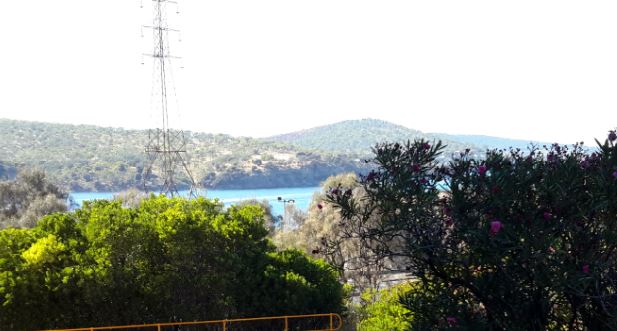
Once decked out in our safety gear, Nyrstar’s Todd and I strode off down the road towards the entrance to the industrial estate all the while admiring the day and the view of the Derwent River whenever it appeared around buildings and between parts of the landscape.

20170227_095403 crop.JPG

20170227_102454 crop.JPG

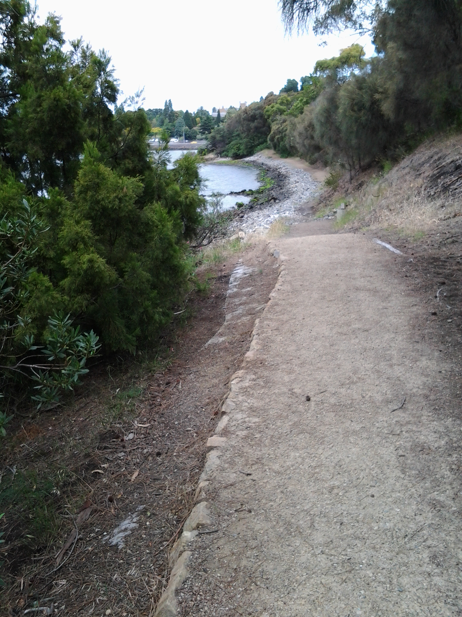
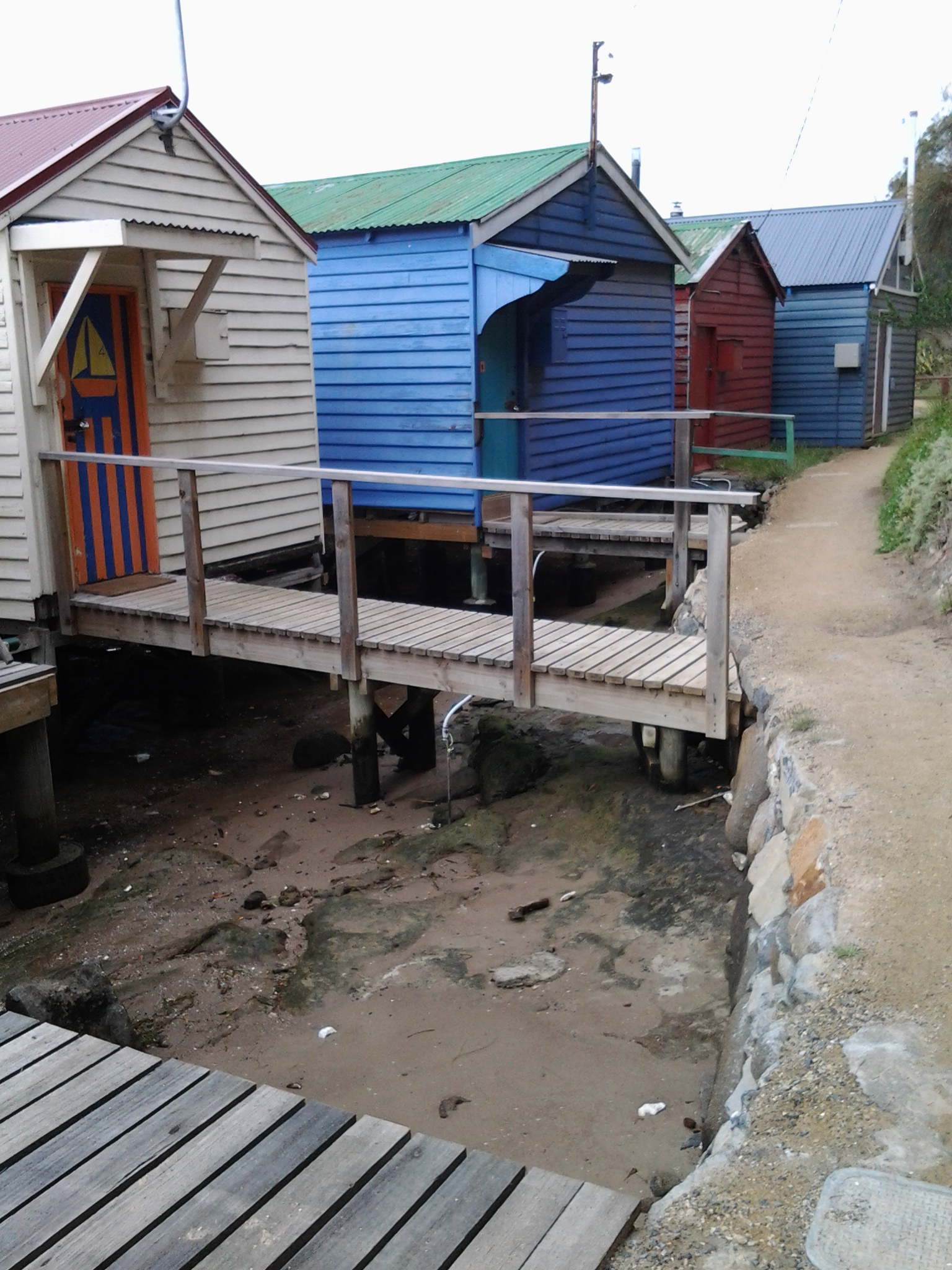
Once through a gate in a high protective fence, we came to a junction. Should we walk forward directly to the river or turn right on a track around a hill shaped by metallic discards decades ago?

20170227_103056.jpg

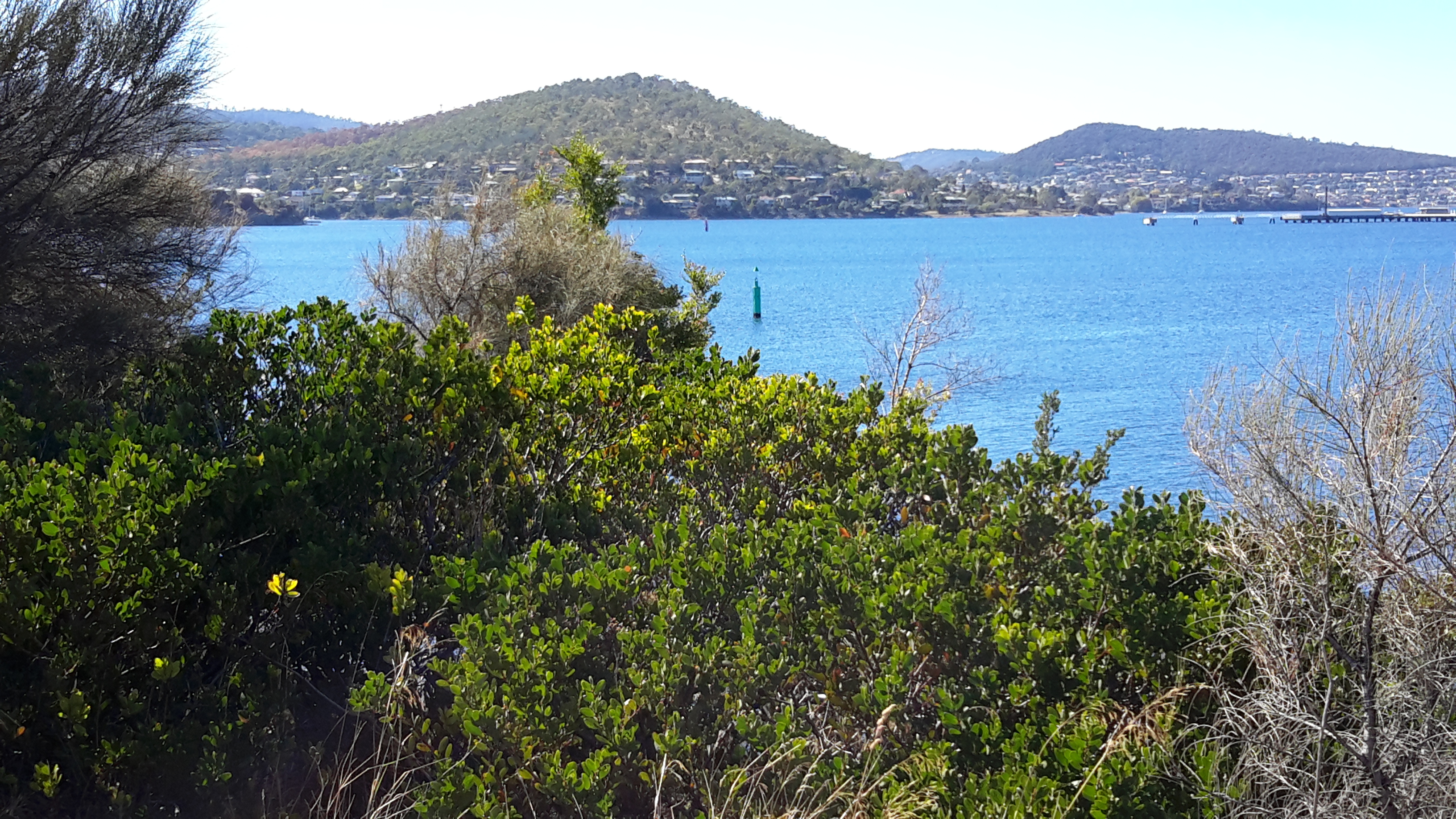
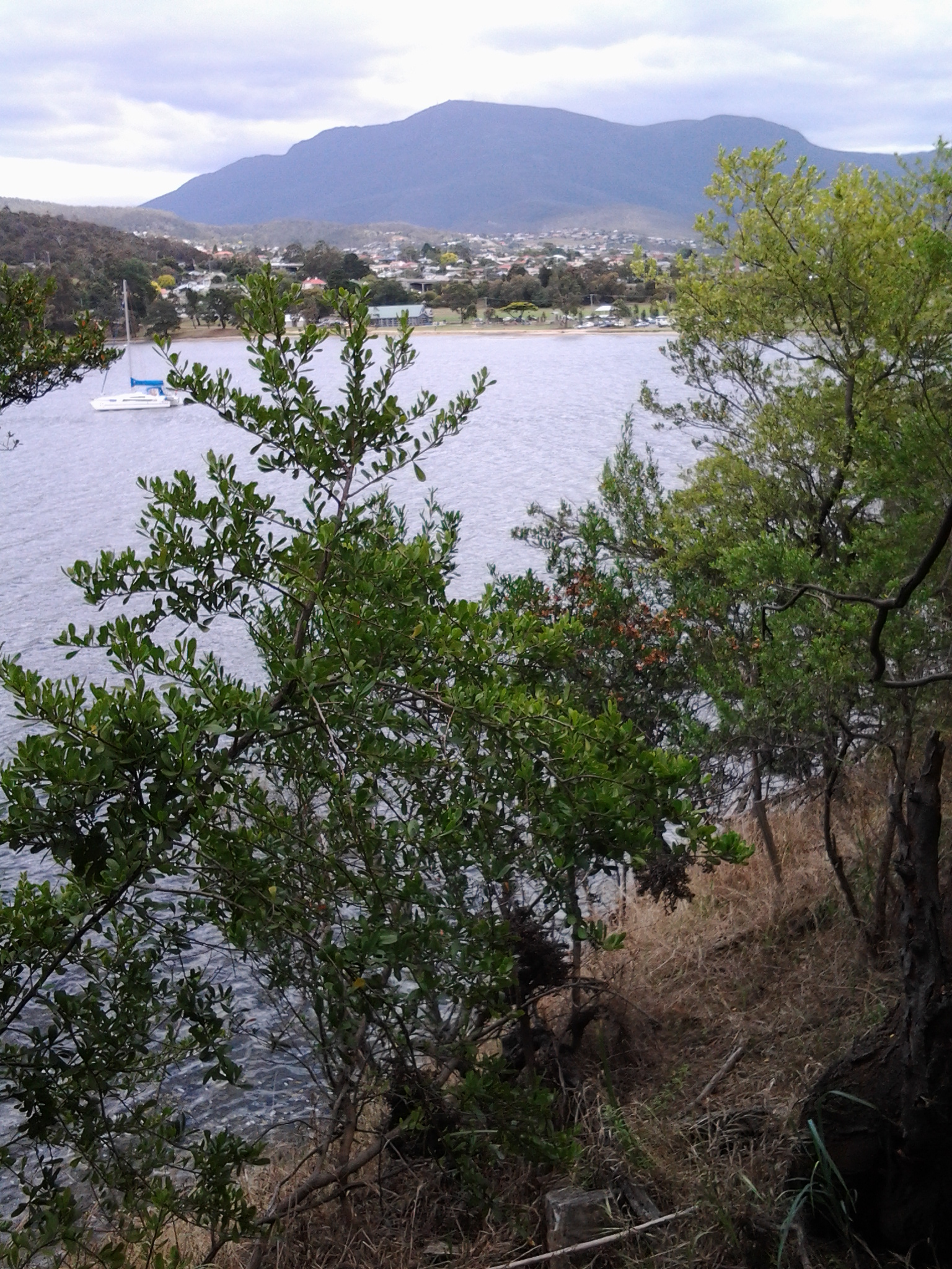
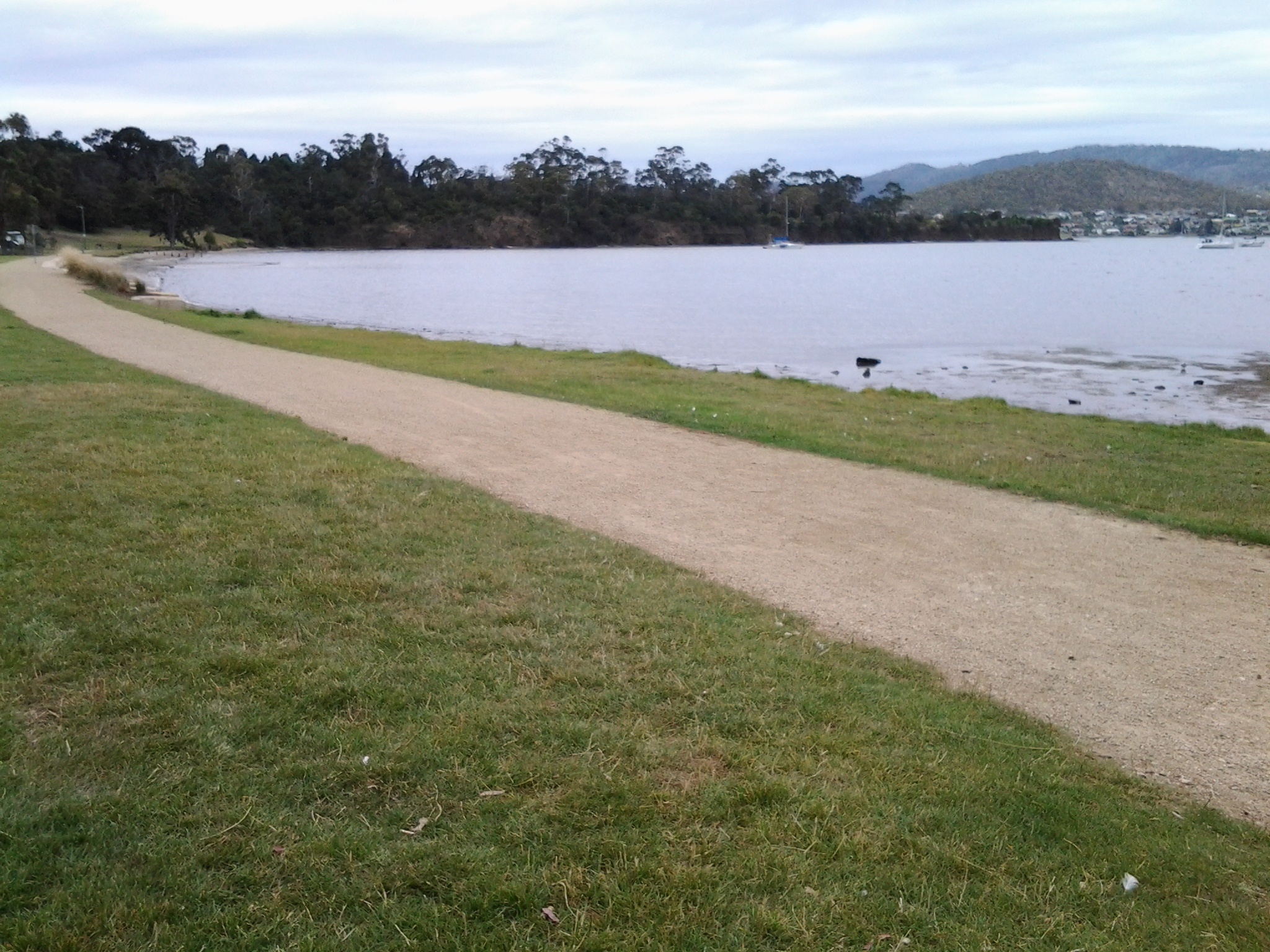
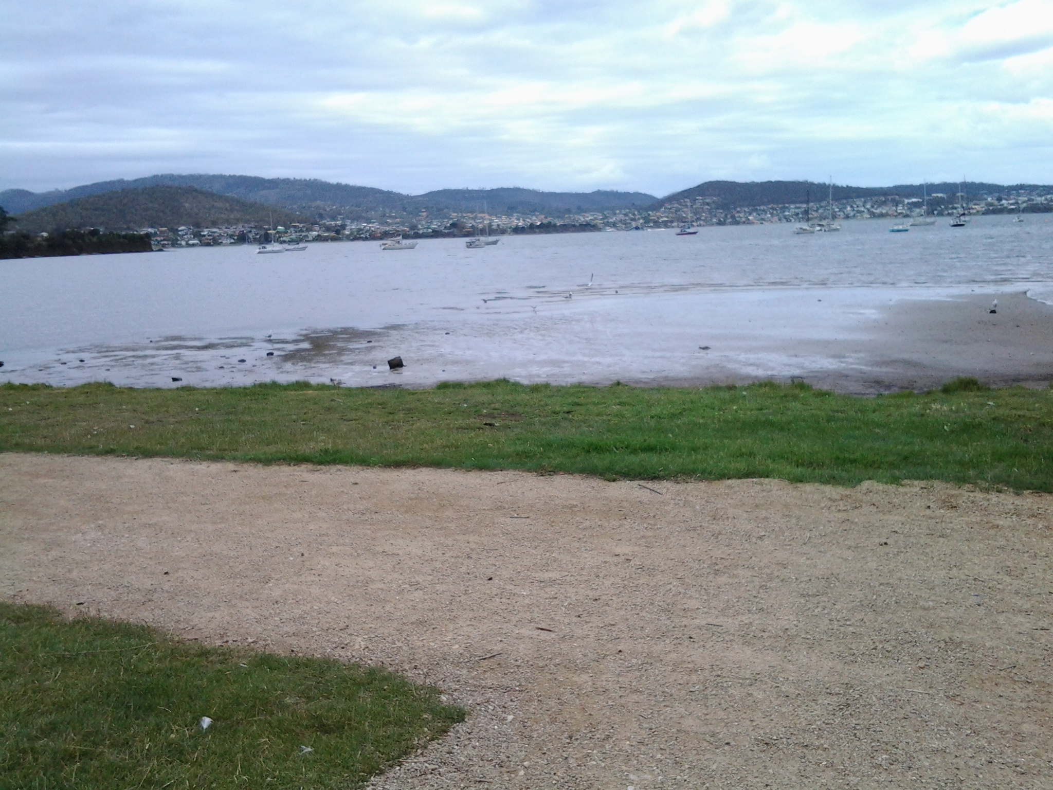
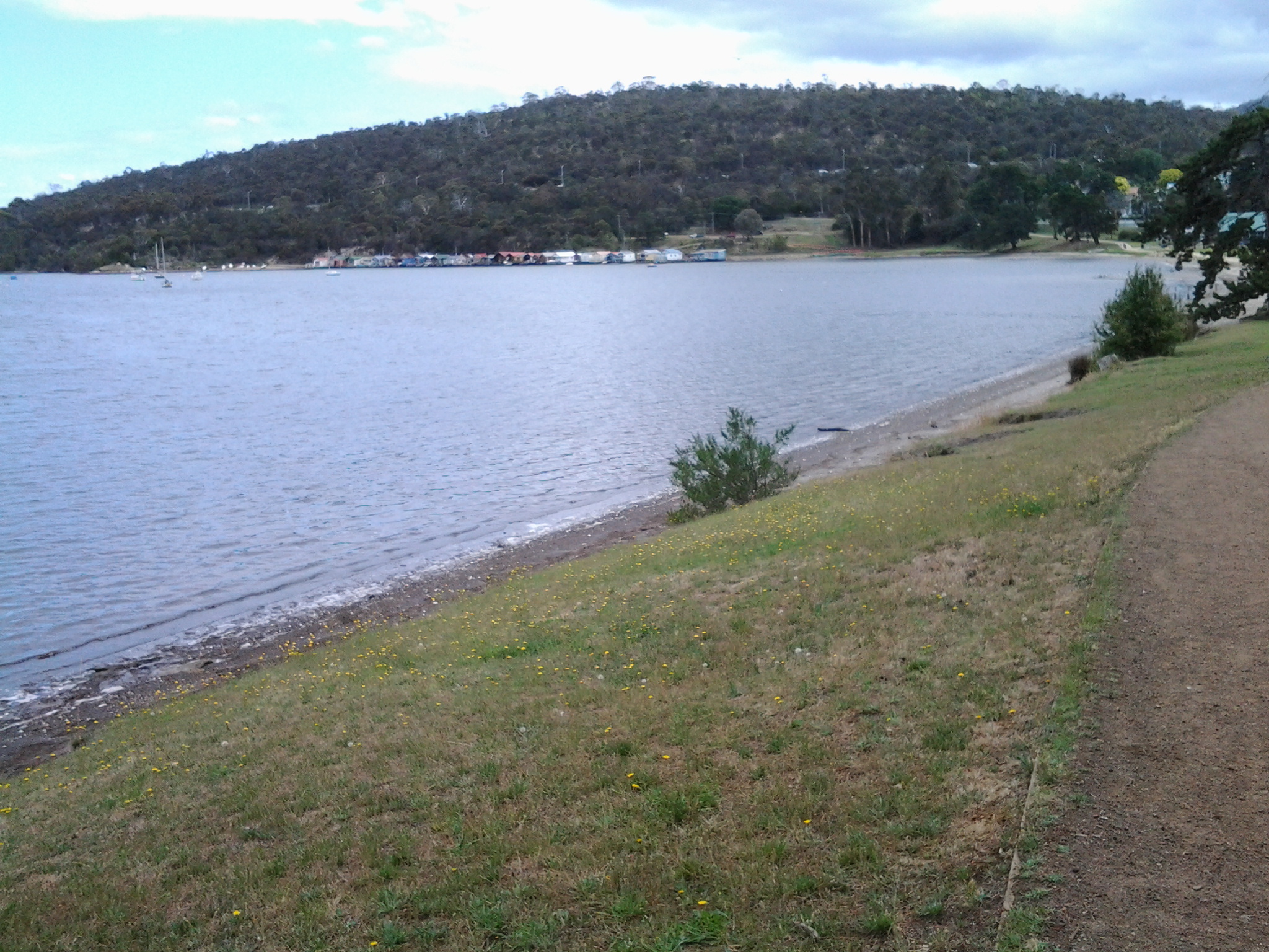
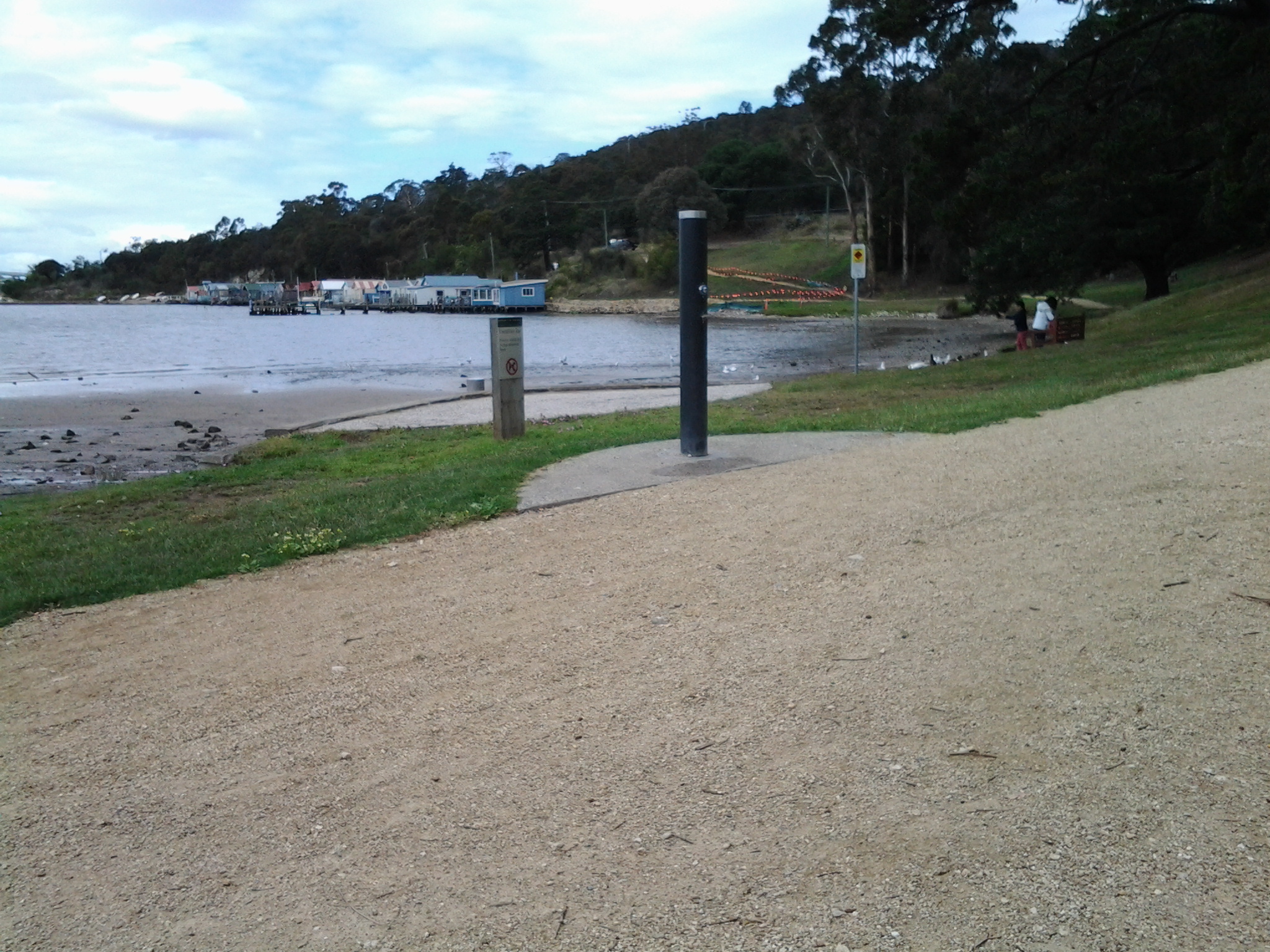
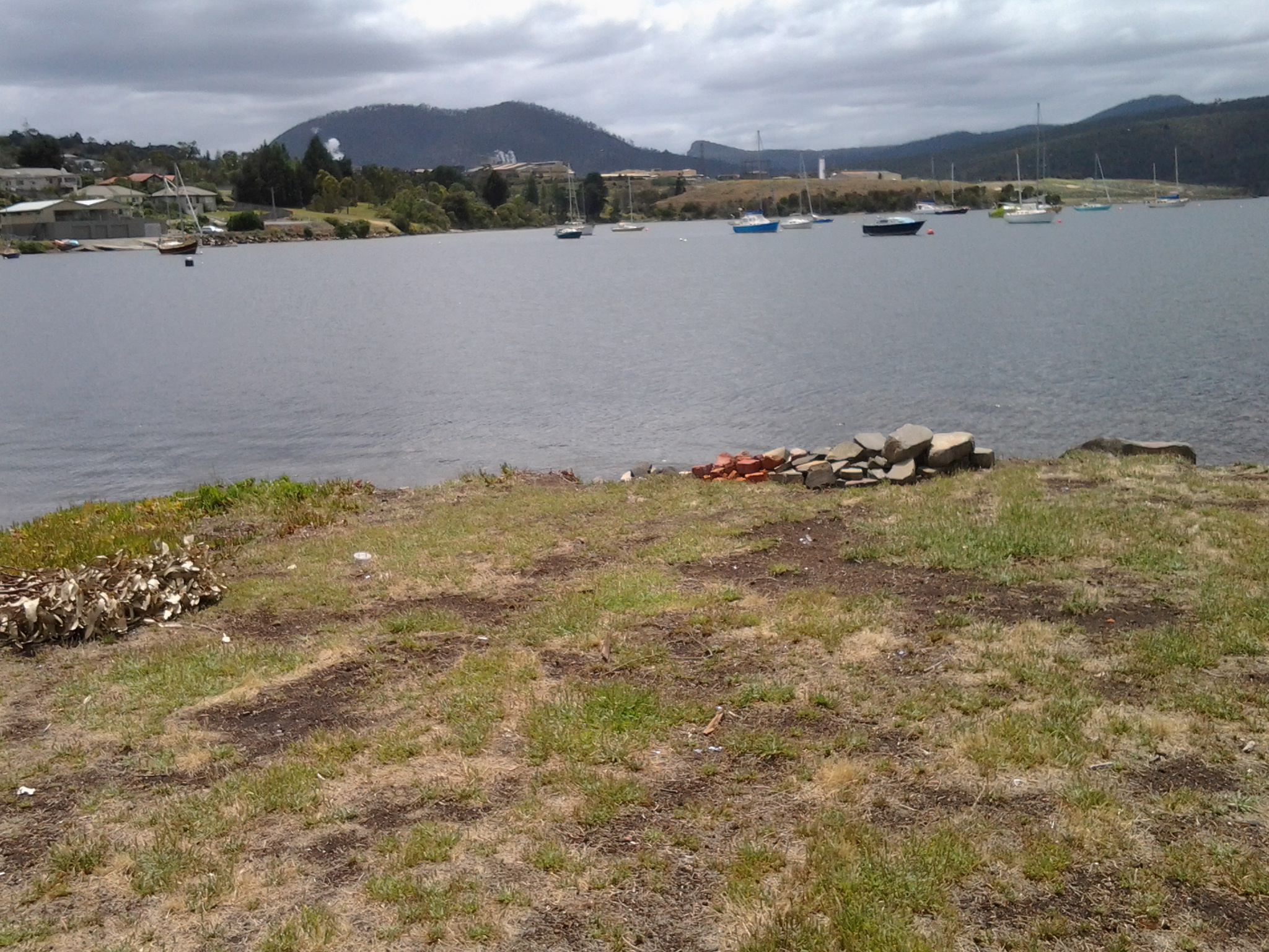
The choice was easy. We turned right and continued as the track took us above but on the edge of the Derwent River in New Town Bay.  20170227_103354.jpg

20170227_103446.jpg

I could look inland to Mount Wellington and across the Bay to Self’s Point.  An early record of my walk along the Derwent at Self’s Point can be read here and here.

20170227_103356.jpg

20170227_103632.jpg

20170227_104106.jpg

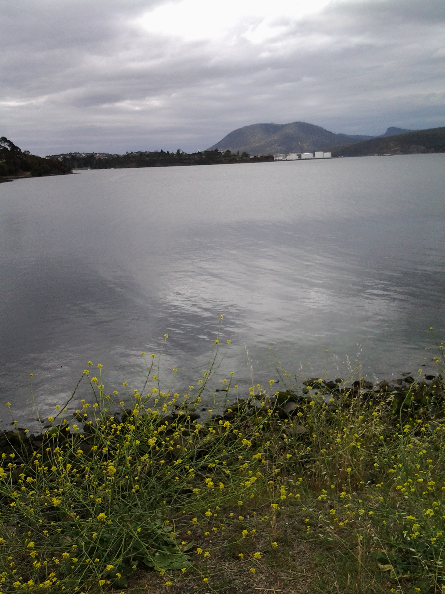
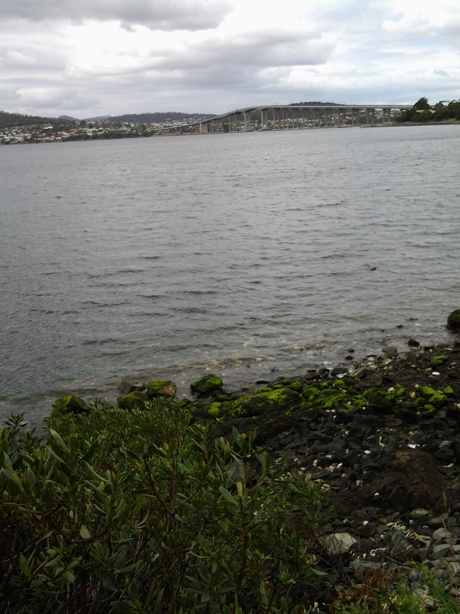
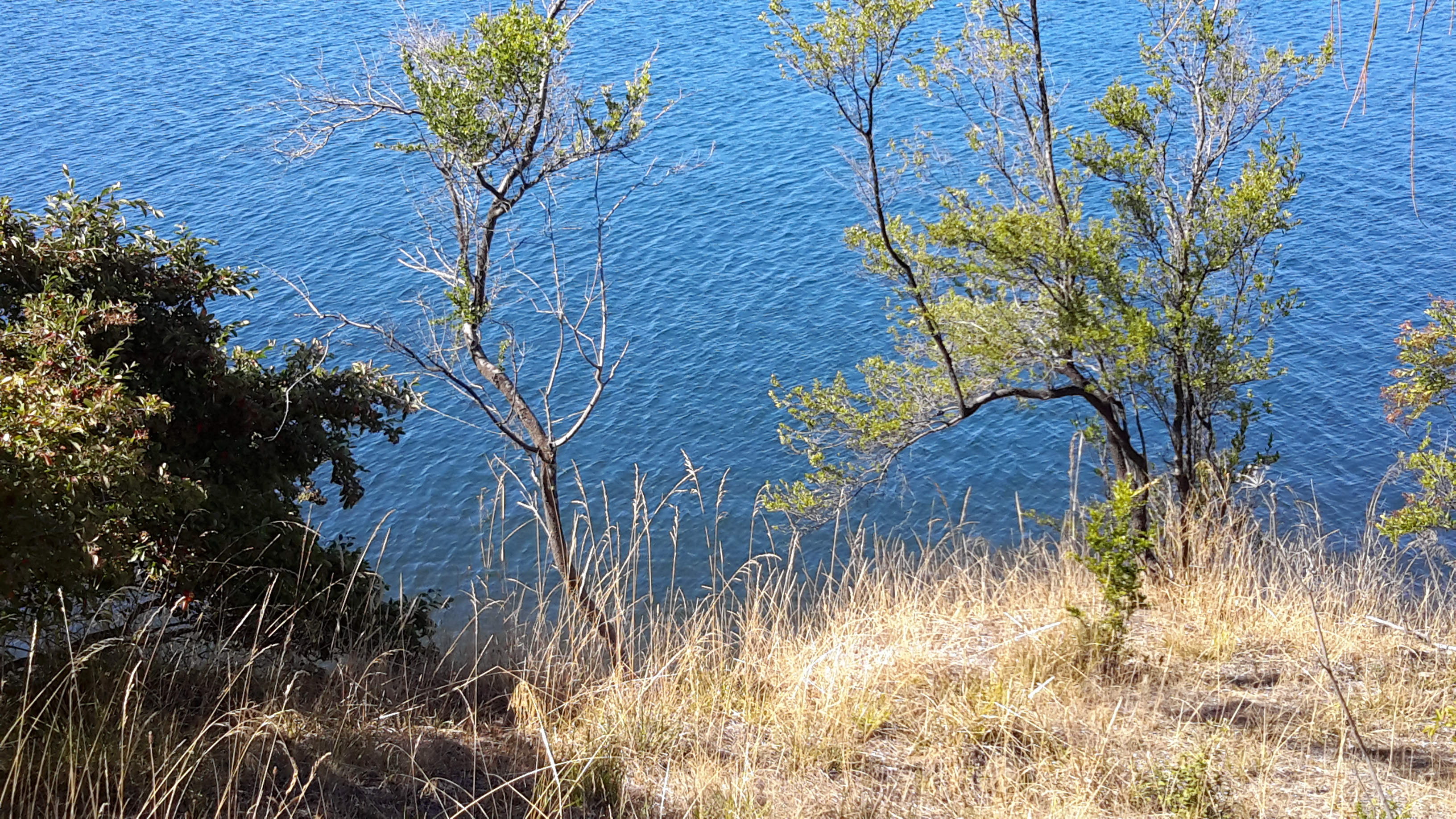
As usual, I loved the brilliant colours that a clear day produces on the river and the landscape.  I hope you find the photos as stunning as I do – long term blog followers know I never set out to create heart-stopping reproduction photos only to record in a casual way what I see. During my walk on Nyrstar property, the world and the Derwent River in particular, seemed spectacular.

20170227_103624.jpg

20170227_103627.jpg

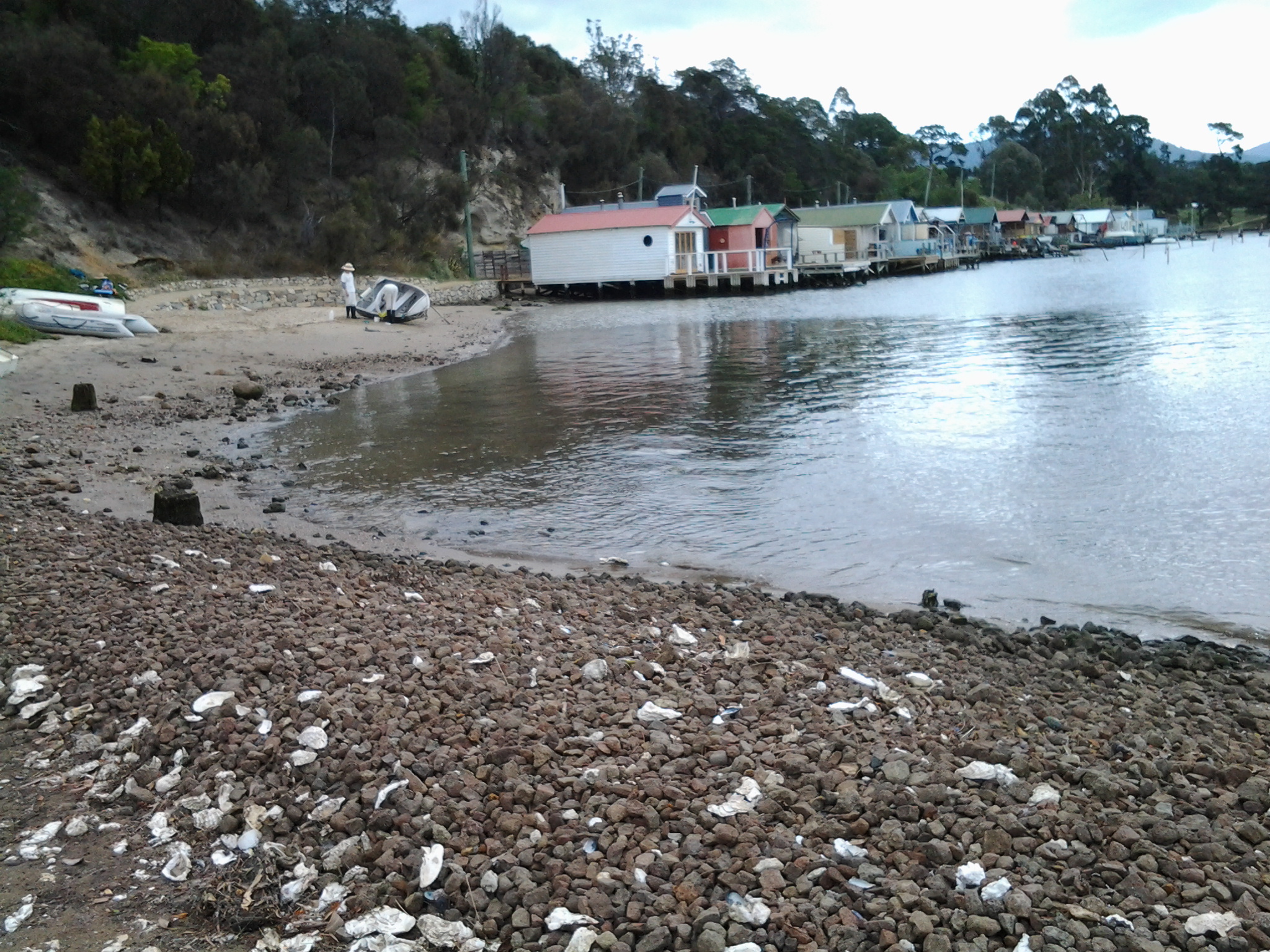
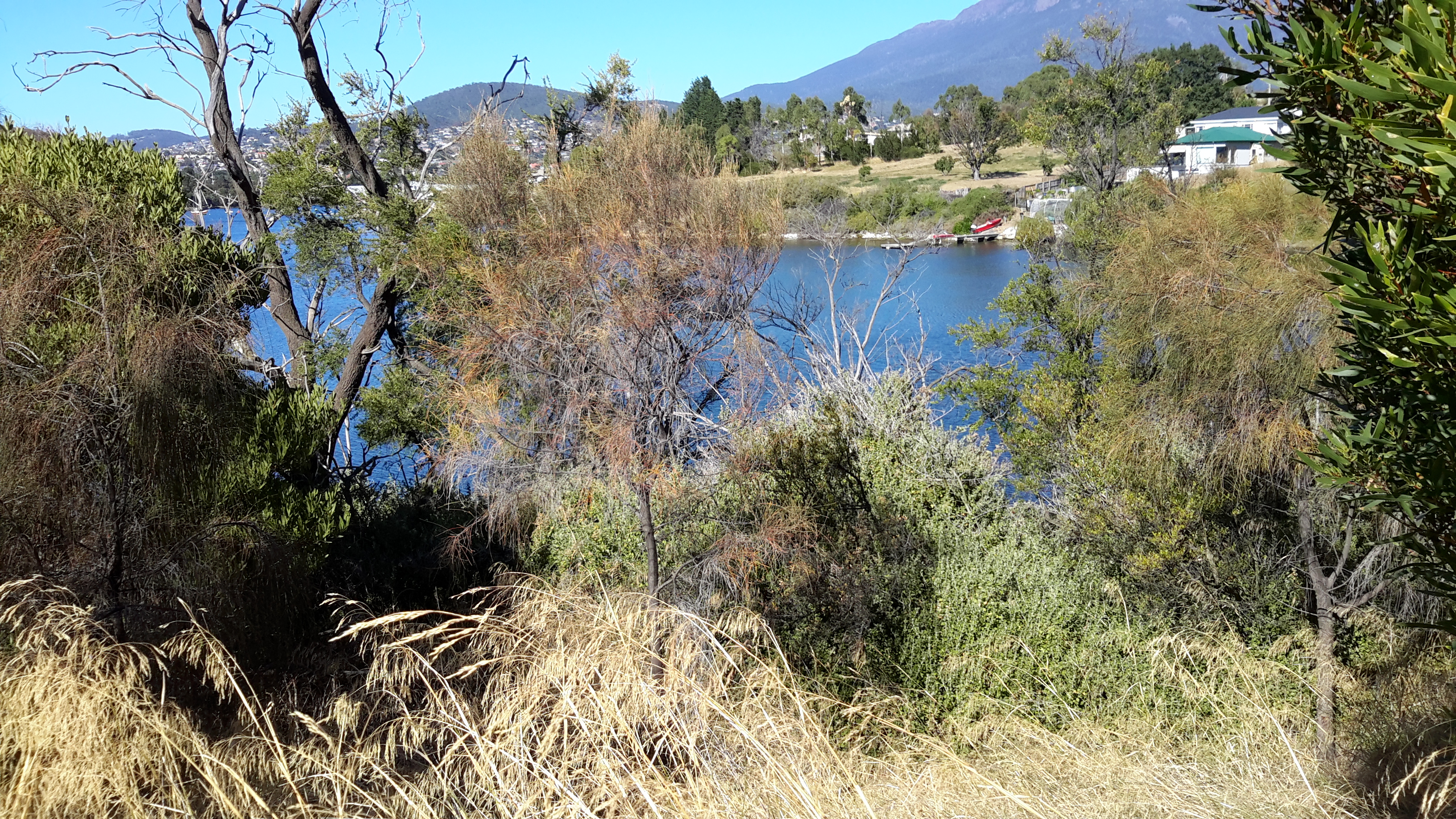
As we walked around the hill, the eastern shore came into view – some of it built up with private houses and other parts remaining as uncleared bushland. My host and I mused on how the first European explorers and settlers would have seen both sides of the Derwent River completely forested. By  being able to see such forests today helped me to have some appreciation of their world at the end of the 18th century.  If those travellers arrived on a day like we were having then the landscape would have looked wonderful, although somewhat impenetrable.

20170227_103635.jpg

20170227_103650.jpg


Pushing on to the Tasman Bridge

Leaving the delightful Cornelian Bay boatsheds behind, I followed the gravel track almost until I reached the Botanical Gardens at which time I walked up a slight rise and joined the concreted bike and pedestrian track that extends from Hobart to Claremont.  I could have walked from Cornelian Bay entirely on that pathway but it is not located as close to the waters of the Derwent River as the very smooth and wide gravel track.

20150109_150213  20150109_150750

I enjoyed looking back to see markers of where I had walked such as the white oil tanks at Selfs Point

20150109_151815

and across the Derwent River to Lindisfarne and Rose Bay which were tramped in an earlier stage of my walk along the Derwent River.

20150109_150743

The atmosphere on the track was gentle with the breeze softening through the casuarina trees. The sound of road traffic somewhere above me was audible but did not intrude in such a way that the sound of the water lapping onto the shore could not be appreciated.

Gradually, the Tasman Bridge seemed to be growing larger the closer that I walked towards it.

20150109_150822

The photos below show the bottom entrance to the Botanical Gardens.

20150109_151715  20150109_151834

The bike path crossed to the left over the disused railway line opposite the entry to the Botanical Gardens at Pavilion Point. I followed that way at 3.15pm in order not to stay on the main road with mainstream vehicular traffic and no footpath.

I could have followed the tracks of fishermen through the grasses and scrubby trees to the foreshore and then walked through a weedy parkland and past the Mercantile Collegiate Rowing Club building. I did not take this route because it looked like the length of it was fenced off and I doubted I would be able to get back onto the road or path near the Bridge. My feet were sore and I was aiming to reach Hobart – I did not want to retrace my steps, and therefore I took the easy way out and stayed on the road.  However, once I reached the Rowing Club building I could see that an exit would have been easy because there was no fence or gate on the other side of the building.  It seems that the foreshore would have been easily walkable.

20150109_152513  20150109_152721

Until I reached the Tasman Bridge I walked on the edge of a road and shared this with cyclists, a jogger and the occasional van and car.  At 3.30pm I reached the Tasman Bridge and rejoined the bike path.

20150109_152804

Visiting Cornelian Bay

With Selfs Point behind me, I could see the Cornelian Bay cemetery through the locked gate and up above the crumbling cliffs to my right.

On closer inspection, I was happy to discover part of the fence near the gate had been peeled back for pedestrians like me.  Through I went.

Twenty or so metres below, over mown grass, I reached a walking track at 2.20pm. This gravel pathway, with its strong views of the Tasman Bridge, wound around the hill and down to Cornelian Bay and its narrow beach, with a view of Mount Wellington in the distance. Exceptionally pleasant and other walkers were also enjoying the experience.

20150109_142127  20150109_142311  20150109_142604  20150109_142844

Walking along the shore of Cornelian Bay is a calming experience.

20150109_143849  20150109_143918

By 2.36pm I was sitting outside the Boathouse Restaurant not far from the public toilets, a free gas BBQ area and a kid’s playground. I stopped to eat some more of my preprepared lunch. The day was cooling and so I did not take the opportunity to buy an icecream like some of the other many visitors to this lovely area. They were feeding ducks, walking their dogs, playing, meandering, and eating. A very comfortable existence.

At 2.44pm I continued walking around Cornelian Bay by choosing leftward tracks that passed empty oyster shells bleaching on the shore, and moved toward a row of attractive boathouses.

20150109_142753  20150109_143834  20150109_144806  20150109_145107

These are the most expensive boathouses in Tasmania and I noted one was up for sale (if you have a large pocket full of money and are interested, go to http://charlottepeterswald.com.au/property/36-cornelian-bay-new-town-00161878).  Another website shows a boathouse which sold recently: http://www.realestateview.com.au/Real-Estate/boatshed-cornelian-bay-new-town/Property-Details-sold-residential-6528149.html.

I reached the end of the row of boathouses at 2.55pm, and walked across a tiny beach to meet with the continuation of the track southward. This spot was idyllic and secluded. A couple of locals were cleaning the barnacles off the bottom of their dinghy.  Everything was peaceful.

20150109_145335

Heading for Selfs Point as it juts out into the Derwent River

Leaving Lutana, I crossed the bridge on the Queens Walk by turning left off Risdon Road.

20150109_130759

Close by was a sign indicating I was now in the City of Hobart and part of the New Town Bay Reserve. I turned left into Marine Esplanade.  A massive Graham Family Funeral direction sign sat in a rugby field on one corner implying a funeral business was behind.  But it is not – the business premises are located perhaps a kilometre or more away within the suburb of New Town.

As I walked along the gum tree sided Esplanade with New Town Creek to my left, I inhaled deeply of the fresh eucalypt smells. A little before 1.15pm I reached the Tasmanian Bridge Association clubhouse. A minute or so later I passed a University of Tasmania building and stood on a landscaped circle of land marking the mouth of New Town Creek as it enters into New Town Bay.

20150109_131411

Continuing amidst trees by the water’s edge I walked outside a high mesh fence marking the territory of a Sewage Treatment Plant.

20150109_131757

A little after 1.20pm, I was forced to turn back and retrace my steps. The property on which the oil tanks stand was effectively fenced, and the barb wire topped mesh extended out into the water. I wasn’t welcome to continue.

20150109_132116

Irritated, I plopped down on some rocks at the edge of the Bay and nibbled on some lunch.

20150109_132028

For the first time that day I felt the effects of a strengthening wind. I liked watching the MONA ferry dragging a chain of churning white water like a fluffy tail, as it travelled between Hobart and Berriedale.

This route was a pleasant and safe distraction but it did not help me to reach Selfs Point.  And then, as I walked back I found there were no connecting pathways between the Esplanade and Selfs Point Road. But I was not unhappy to have walked this way.  It was really tranquil moving along beside the edge of the Creek and then New Town Bay and the return walk.

In addition, the deviation was valuable because it allowed me to muse about the walkings of Charles Darwin, the English naturalist and geologist best known for his contributions to evolutionary theory. Darwin sailed to Hobart on the Beagle at the end of January 1836 and departed in the middle of February.  You can read more information about his Tasmanian stop over and his opinions at http://www.utas.edu.au/library/exhibitions/darwin/hobart.html.  A few years ago I was told that Darwin decided to climb Mount Wellington by starting at New Town Bay and following New Town Creek.  However, I can find no evidence of this and, in fact, the Royal Society of Tasmania states Darwin only made two attempts to scale Mount Wellington and both were from the South Hobart direction.

By 1.45pm, I had returned to the Queens Walk and turned left to find another route to Selfs Point.