Tag Archives: East Risdon State Reserve

Walking on an industrial site – posting 4 of 5

During the planning phase for this walk on Nyrstar property,  I anticipated that after passing the wetlands treatment area my walk would be finished because, from then on, site buildings and operations sit next to most of the shore. I imagined access to these areas would be impossible for a visitor.

Three times a week, on average, large ships berth nearby ready to load up with the processed Zinc. However it was my lucky day and the wharf was clear.  My host volunteered to take me further if I wished.  Yes please.  It seems that at every turn, on my walk from the mouth to the source of the Derwent River, people have helped and ways have been found to give me access to more of the River than I ever thought possible.  I am so immensely grateful.

Back on a main road we headed towards the wharf, all the while with the river glistening in the strong sunlight and with the shadow of the East Risdon State Reserve ever apparent on the eastern shore.

20170227_105352.jpg

20170227_105726.jpg

20170227_110156.jpg

20170227_105527.jpg

20170227_105542.jpgAs we headed west towards the wharf area, Mount Direction on the eastern shore loomed large.

20170227_110153.jpg

Before reaching the wharf, we passed a repetitive pattern – one which has nothing to do with the Derwent but which attracted my attention.  Bags. Large bags. Heavy bags. Very well organised. Very tidy.

20170227_110506.jpg

20170227_110509.jpg

Nyrstar is an operation which works hard to recycle by-products of the zinc smelting process and to minimise wastage. In association with other Nyrstar operations elsewhere in Australia, the Hobart site uses these bags in the ongoing process. I was impressed with the commitment of this company to repair the degradation of the environment which occurred in the early years of the ‘zinc works’ albeit under the control of other companies and how every effort is made now to ensure that no further harm is caused (and no – I am not being paid or encouraged to be so positive.  Early blog readers will remember my posting about the independence with which I have made my walk. You can read I pay my own way as I walk along the Derwent River here.

Walking on an industrial site – posting 1 of 5


This seems an appropriate time to add in the stories of my walk along the water edge of one of Greater Hobart Area’s iconic industrial estates in its 100th year of operation.  This series of postings records the morning when I was privileged to be given permission to walk on some of Nyrstar’s property.  But first – a reminder of what the site looks like from a distance; from other vantage points during my walk along the Derwent.

For example, my blog posting Either side of Bowen bridge – posting 5 of 9 included a photo looking at Nyrstar from Dowsing Point and across Prince of Wales Bay.  Refer also to my postings On through the East Risdon State Reserve along the Derwent River and Along the northern side of Shag Bay and onwards along the Derwent River for additional photos of Nyrstar. These latter two postings were made after my walk through the East Risdon State Reserve on the eastern shore across the Derwent River from Nyrstar on the western shore.

Colloquially known as ‘the zinc works’ or the ‘Risdon works’, Nyrstar’s operation centres around converting raw materials into zinc metal.  More can be read here.

Special permission was required to walk on this land and I needed to agree to particular conditions before I could proceed. The extensive site holds many dangers of physical, chemical, electrical, mechanical and liquid kinds and legislation and internal procedures regulate entry and access. This is not a public access walk.  After arrival at the Reception  office on-site,  I submitted to a health and safety induction process, donned a high-vis vest and other safety gear (including designated boots), and accepted that I must be accompanied by a staff member at all times. My host and guide was a senior manager whose understanding, knowledge and passion  for the environment had to be second to none.  I could not have been more fortunate. And he also loved the Derwent River and told me how he jumped into his kayak to explore the river whenever he could find a moment (no – not while he is at work!).

The day of our walk was gloriously sunny with hardly a puff of white marking the sky; exceptional walking weather where every detail is clear.

A considerable portion of the Nyrstar industrial buildings edge the Derwent River as shown in the Google map excerpt below.

Google Nystar industrial bldgs.JPG

Nyrstar’s property extends into New Town Bay. I expected only to walk on and next to the rocky shore along the lines I marked on the Google map below.  Future postings will reveal whether I actually walked further.

Nystar possible walking track.JPG

I am so very grateful for the support and interest and assistance which Nyrstar provided to ensure that my walk along the Derwent River was complete.  Staff all over the site could not have been more pleasant.


Nature is cheaper than therapy

A Californian fiction writer M.P. Zarrella offered the opinion ‘nature is cheaper than therapy’.  Since then, her point of view has spawned posters, cushion covers, and T shirts such as:

Nature cheaper than therapy  and tshirt nature its cheaper than therapy

The use of this comment spread until people couldn’t help themselves …

facebook cheaper than therapy and Beer is cheaper than therapy

Thinking about whether nature is cheaper (with the inference of ‘better’ than therapy), I have been inspired to trawl through my walking-the-derwent photos.

Here are a few favourite natural scenes clicked during Stages 1-6 of my walks along the eastern shore of the Derwent River.  Most of these images spent time as my computer screen background where they lifted my spirits daily.

20140822_100301

Iron Pot off the southern end of South Arm peninsula

20140822_101716

Driftwood beach shack on Pot Bay Beach, South Arm peninsula

20140822_114606

Mount Wellington across the Derwent River from South Arm Beach

20140904_110312

Looking northwards into the gigantic Derwent Harbour from Gellibrand Point at the northern end of the South Arm peninsula.

20140920_102738

Looking uphill from Trywork Point

20140926_095629

Lichen on rocks at Tranmere Point

20140926_104056

Little Howrah Beach

20140926_115158

Looking southwards along Bellerive Beach

20141010_093842

The suburb of Sandy Bay across the Derwent River through the casuarina trees from Rosny Point

20141010_123003

Tranquil Geilston Bay looking toward Mount Wellington

20141015_101248

Bedlam Walls Point

20141015_104855

Shag Bay

20141015_122048

Native flowers in the East Risdon State Reserve

20141015_133435

Tommys Bight

Whenever the weather is deteriorating outside my window, by looking at these photographs from the first 6 of 14 walking stages, I ‘revisit’ the various locations and feel most uplifted. No therapy needed here.

Lutana

Having made the decision not to visit the industries that hug the edge of the Derwent River during my Stage 10 walk, I turned right and walked down hill along Derwent Park Road on the footpath passing the Veolia recycling plant, turned left at Cox Ave then right at Furneaux Avenue. This route gave me the opportunity to surprise a friend by dropping in unexpectedly.  Two hours later after wonderful cups of tea I ventured out again.

There are many suburban routes over the Lutana hill and I chose to walk up O’Grady Avenue (which made me think of one of Australia’s elite cyclists Stuart O’Grady who was a major player in Le Tour de France and other international races, but has now retired) turned right into Bowen Ave, left into Michael St, left at Lennox, and right at Ledwell St.

This route presented superb views to the north and the south.  Views of the suburb of Moonah to the north and north west included:

20150109_123334  20150109_123338  20150109_123611

To the south and east, the views included Bedlam Walls and East Risdon State Reserve on the other side of the Derwent River.  This gave me a perspective I never had when walking on that side of the River in an earlier stage.

20150109_123854  20150109_123912  20150109_124333

There came a point where I could see the Tasman Bridge in the distance (staggering now to see it was so far away and yet I walked under the Bridge and continued onto Hobart later that day).

Towards Tasman Bridge

Landmarks further south include large white fuel tanks. These were clearly visible from a number of vantage points as I walked over Lutana.

20150109_124401  20150109_130014

I continued downhill on the southern side, until I crossed Ashbolt Crescent at 12.45pm. I was surprised to find a golf course designed to flow on either side of Reece St, a normal suburban street that I walked down to reach Risdon Road.

20150109_124651

The visual highlight of this part of the walk was the graphic nature of tyre marks on the streets from hoons doing wheelies and other mark making with their vehicles.  I liked looking at the result and have made this image my computer screen background for the moment.

20150109_124407

Once down onto Risdon Road I turned right and followed it parallel to New Town Bay in a westerly direction towards New Town Creek. About 1pm I was passing the Waterfront Lodge, motel accommodation which I did not know existed.

.Waterfront Lodge on Newtown rivulet

Five minutes later the Apex Park was on my right and on the other side stood the Culloden Hot Take Away Store with the glorious backdrop of Mount Wellington.

20150109_130559

When I stood and looked south, I could see a few tombstones of the huge Cornelian Bay cemetery between the trees on the distant small hill. In this photo, a smidgin of New Town Bay appears in the left of the photo through the vegetation.

Cornelian Bay cemetary from Lutana

At 1.07 I reached the junction of Risdon Road with the Queens Walk,where a bridge crossed New Town Creek.

Leaving home last Friday towards the start of Stage 7 of my walk along the Derwent

From my house early morning, I could see a mirror sheen across the Derwent River. This promised a great day for walking and so I was eager to get going.  Unfortunately the bus service to the area I was starting from departs only every couple of hours. Eventually I caught the Metro bus 694 when it passed through the Eastlands Shopping Centre bus mall at 9.13am.

The bus passed through upper Lindisfarne as it headed along the East Derwent Highway. When I looked left across the Derwent River, my view of the top of the mountain was cut off by a thick resting white cloud. The roads were calm. People were at work and kids at school. When we passed Geilston Bay I could the water was serenely flat. By this point, I was the only passenger on the bus and felt luxuriously chauffeured.  We detoured for a scenic view through the upper Geilston Bay residential area, then back to the highway.  As we travelled onwards, I noted the start of the trail to Bedlam Walls which I had walked previously, then the electricity pylons and fire trails marking the East Risdon State Reserve. The Willows Tavern loomed on the left and on the right hand side of the highway I glimpsed the starkness of the barb wired fencing of the state Prison.

At the roundabout (where I wanted to go left) the bus turned right to travel through the suburb of Risdon Vale.  Lots of small weatherboard houses and lawns with a few bushes rather than complex luscious gardens. ‘Donut’ burnout tyre marks on the intersections of roads. Rooves needing paint.  Neat and tidy. Streets prettily named after plants: Spinifex, Sycamore, Lindon (although Lindon Park had no Lindon trees), Poplar, Heather, Banksia, Kerria, Hawthorn, Marlock, Gardenia, Lantana and Holly.

Side view of the mountain: I marvelled at the speed with which clouds were being pushed across the top of the mountain southwards.

At 9.39 I was off the bus just before the junction of Saundersons Road, Risdon with the East Derwent Highway.  This is on the southern side of Risdon Cove. Around the corner of the road in the photo below, I could look over the railing in the direction of the Derwent River.

20141031_093816

I walked to that distant railing and realised that walking on the road would be very dangerous with traffic speeding on the narrow lanes.  I legged it over the railing and walked on the River side. The photo below is one of my first views.  Note the pair of black swans.

20141031_094126  20141031_094118

No longer did I have Mount Wellington as my standard backdrop across the water. In the photos above, the elevated section on the other side of the Derwent River (above the Bowen Bridge) is the Mount Faulkner Conservation Area.

From Risdon to Tommy’s Bight via Porters Bay and finally to the bus stop

Once I had walked through the East Risdon State Reserve and down the hill to the edge of the Derwent River in the suburb of Risdon, despite sore feet, I felt compelled to walk south along the water’s edge towards Tommy’s Bight. Much of my walk over the previous hour or so had not been at the edge of cliffs, so for an authentic walk along the River I liked the idea of following tracks to determine how far back south I could walk (all the while knowing I would need to retrace my steps to get to the bus stop for my return home).

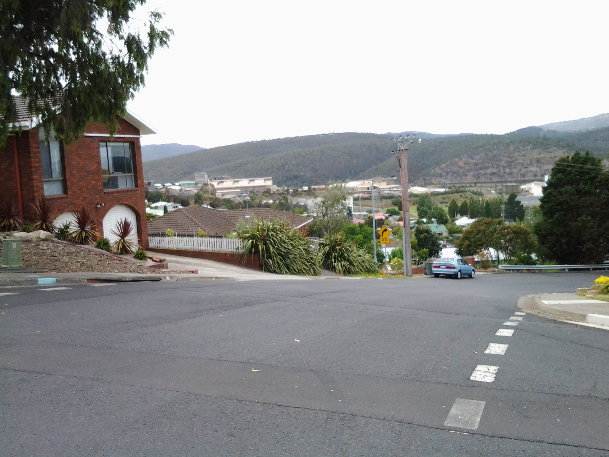
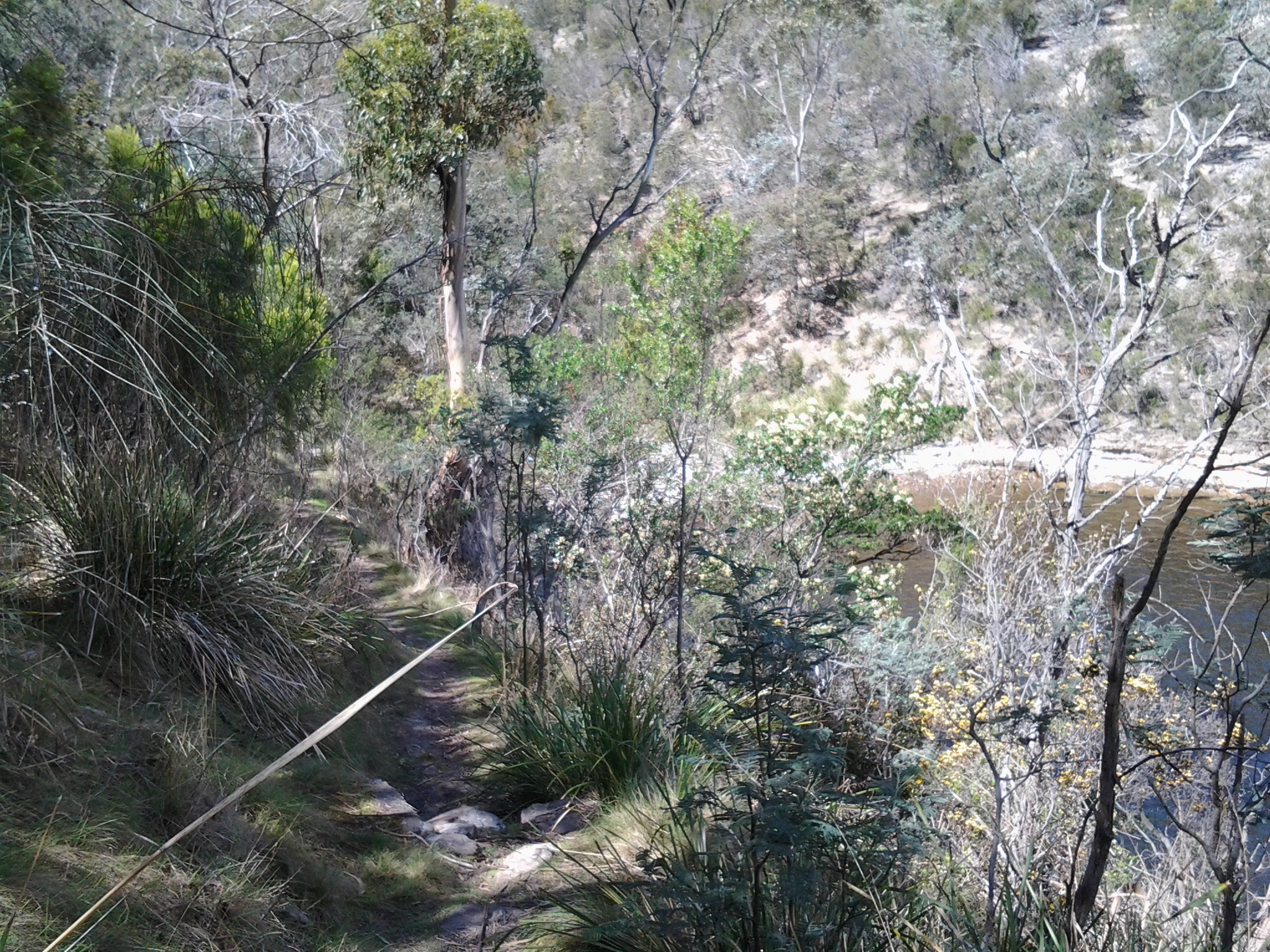
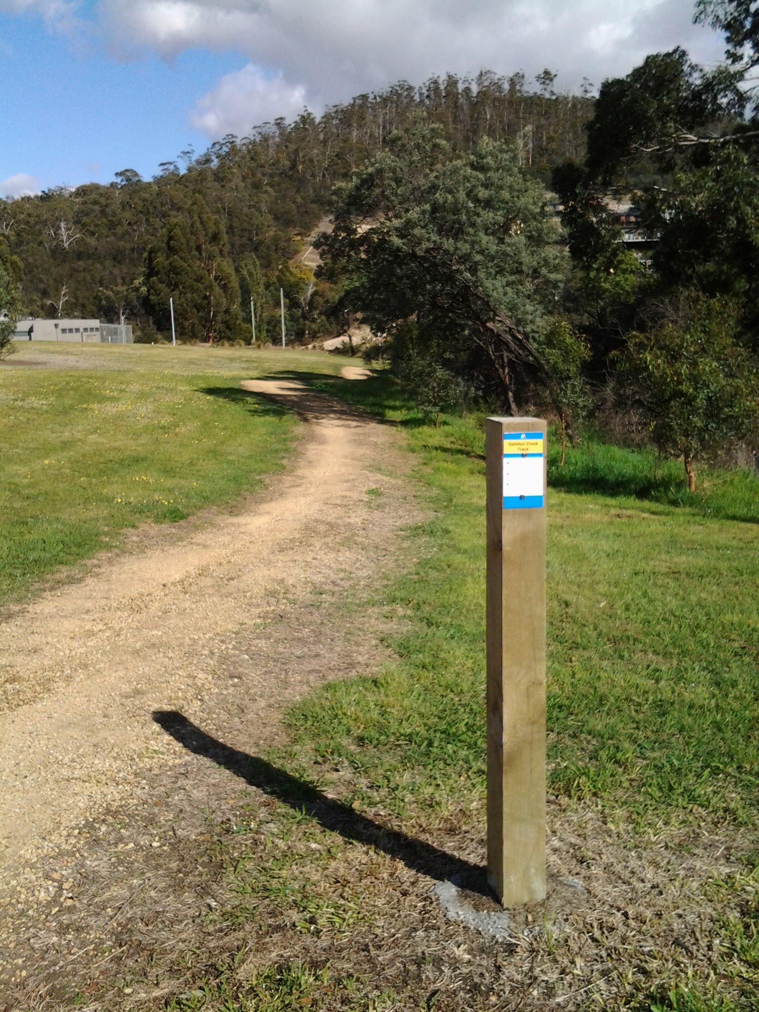
I turned left into Saundersons Road from Risdon St and continued walking until, opposite the No Through Road and the 50km/hour speed signs, a gravel and dirt single-foot track led down around the water’s edge. The track seemed infrequently walked, and it was delightfully soft and gentle on my feet.

20141015_124824

I loved listening to the lightly lapping water and my world seemed very still until three sulphur crested cockatoos screamed overhead.

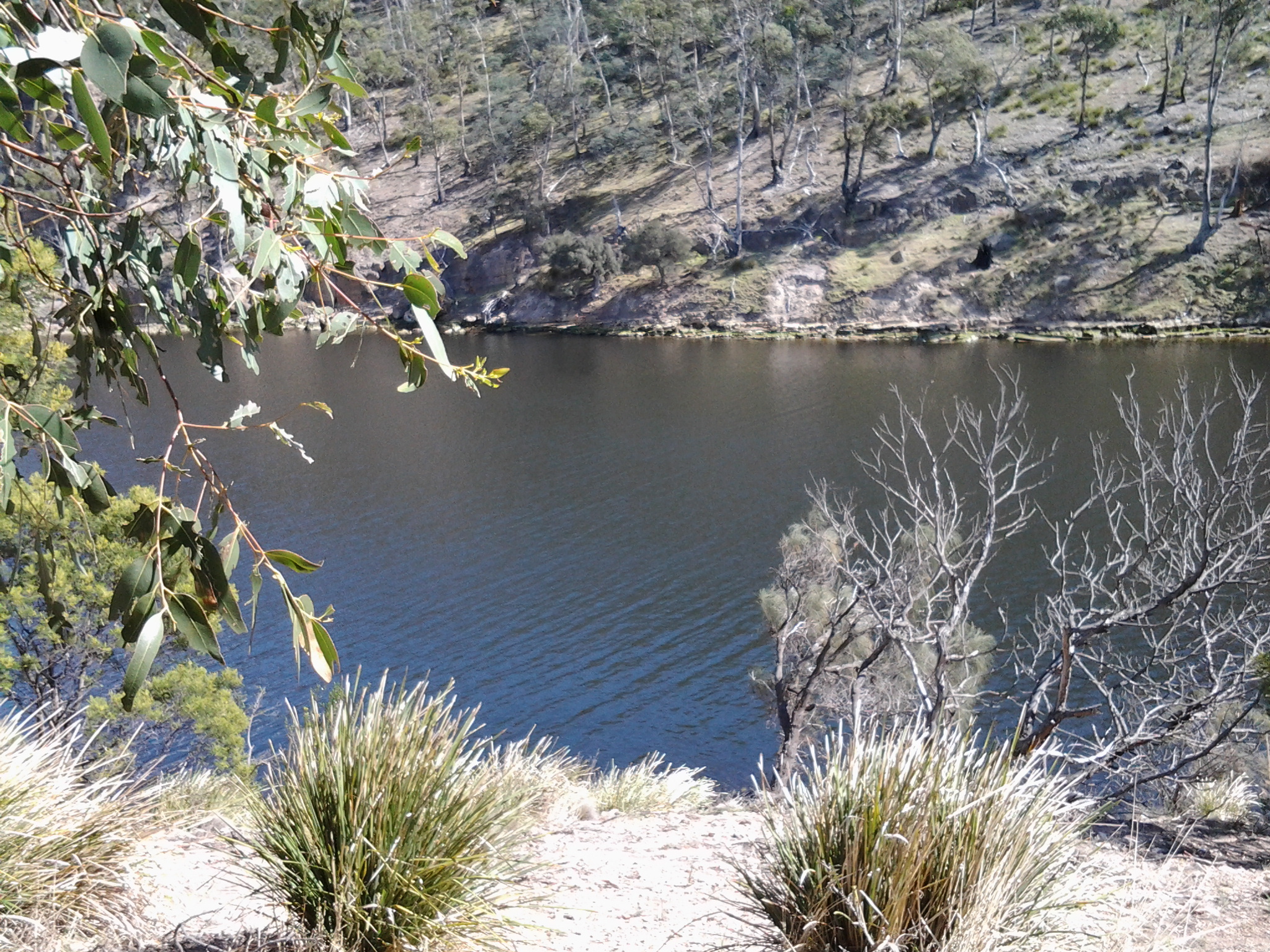
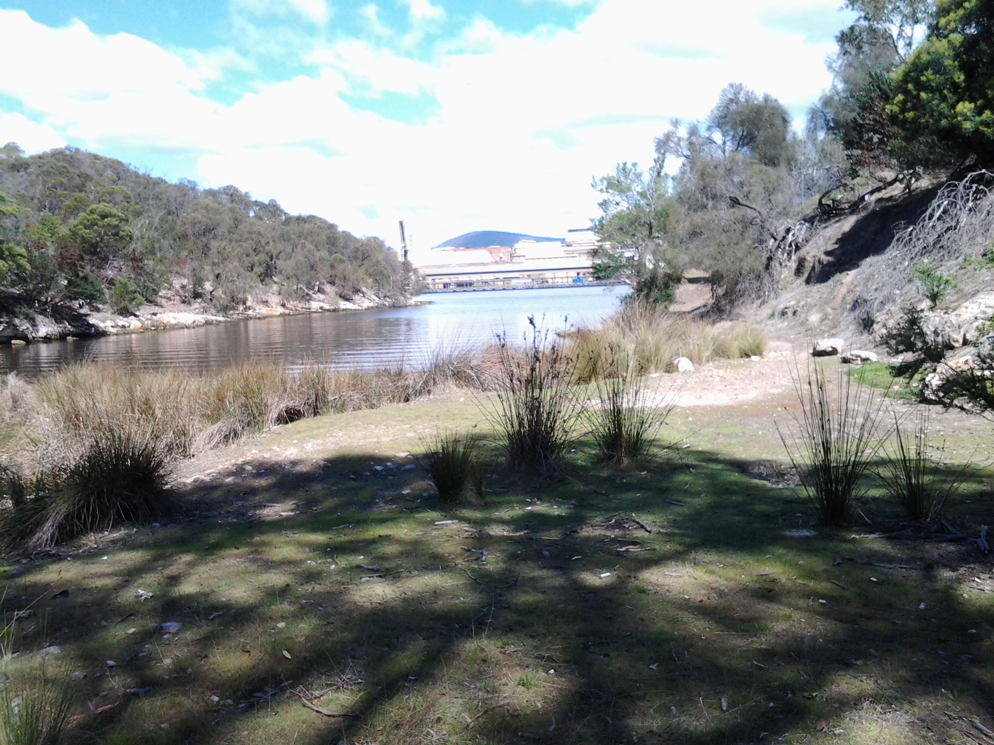
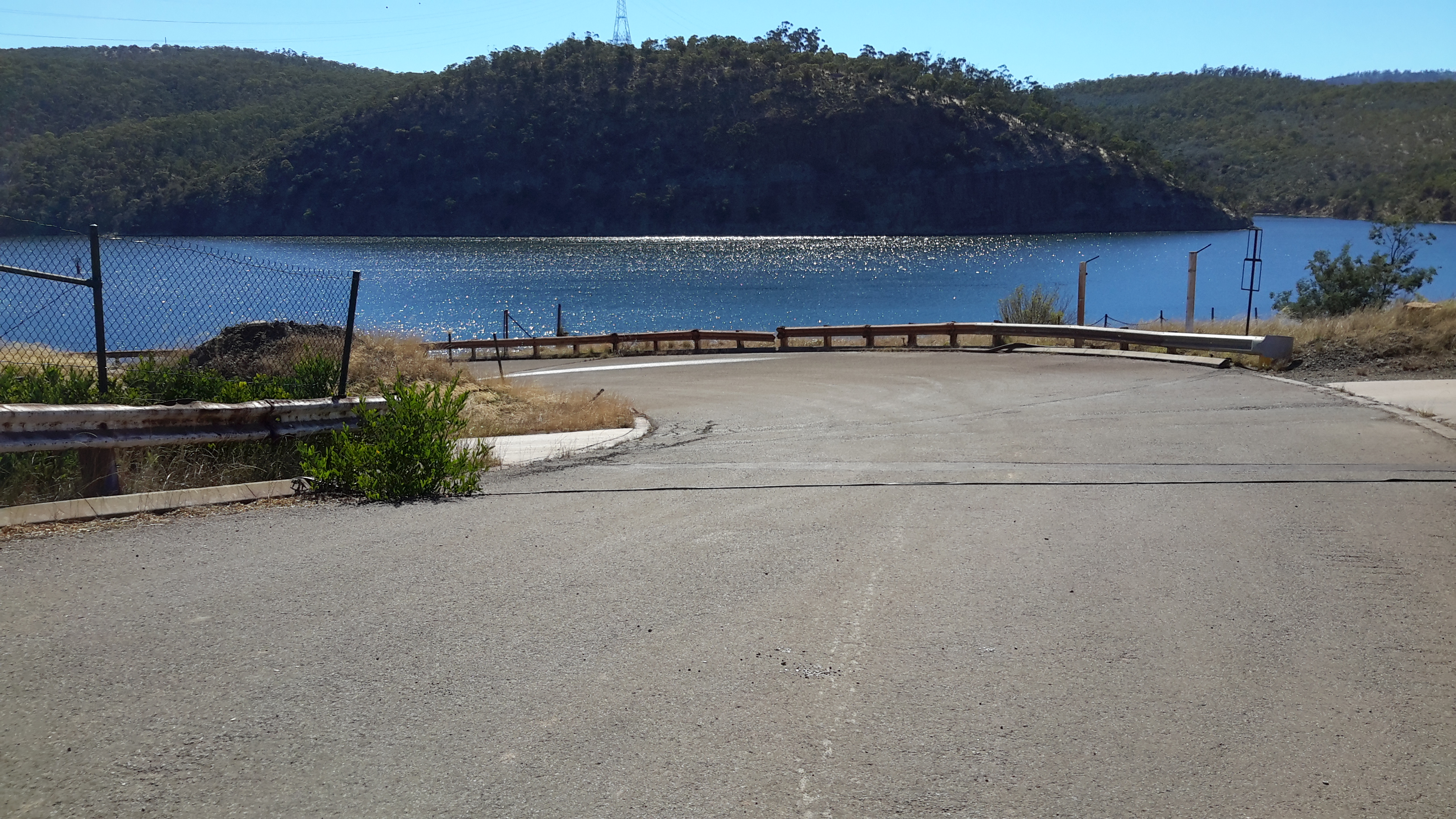
At 12.50pm I arrived at a Bay, and without checking my maps, mistakenly thought I had reached Tommy’s Bight.

20141015_124844  20141015_125201

I had a good look around the Bay before sitting on a sunny rock to eat my lunch.

20141015_125354

After munching I dragged out my map and discovered I had been enjoying the peace and quiet of Porter’s Bay.

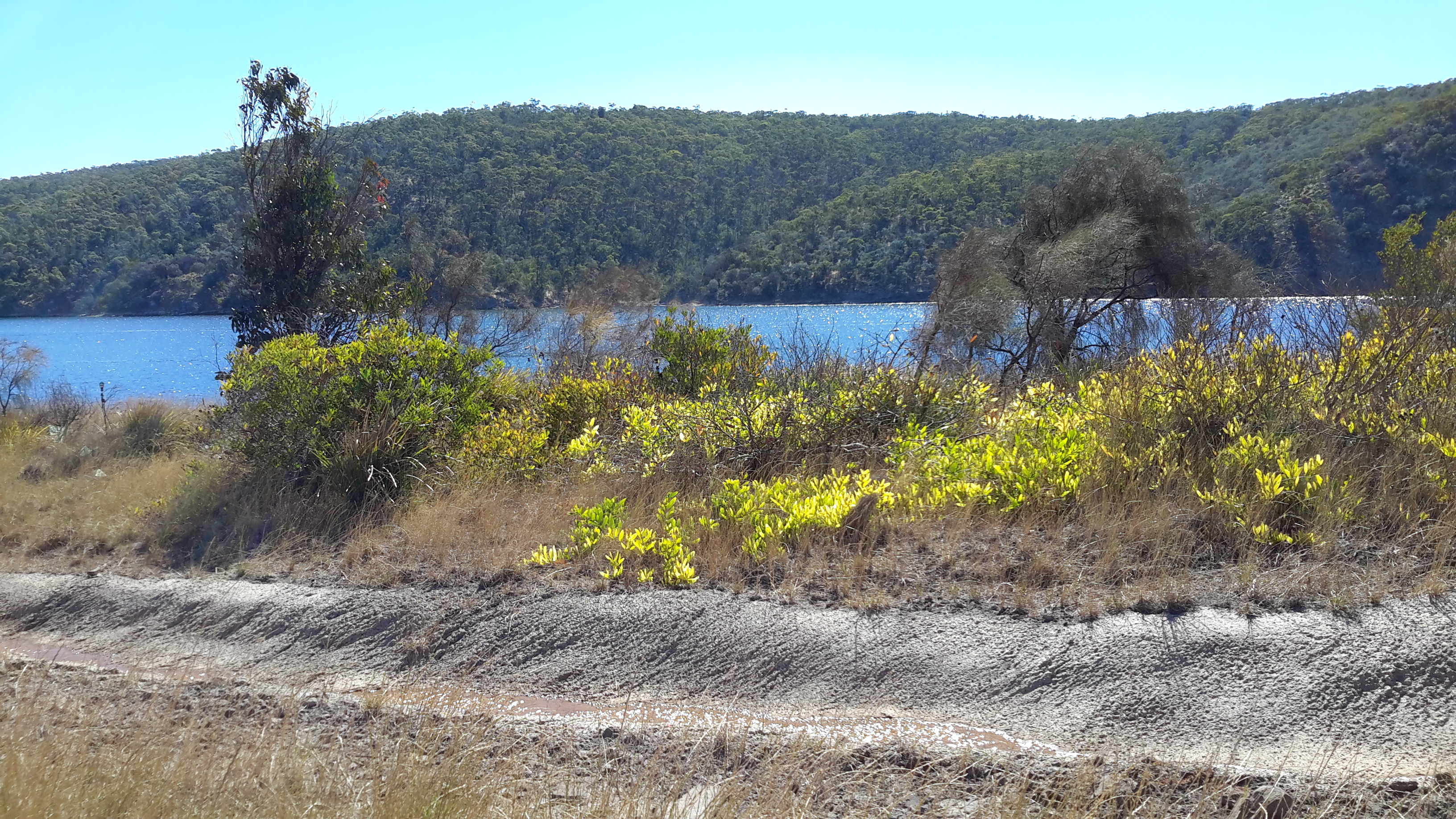
Ignoring my aching feet, I began on the track towards Tommy’s Bight. When the track split into two directions, I walked uphill for a while before realising this would take me back to the top of the East Risdon State Reserve. I turned back until I could follow the track parallel to Porters Bay. The time was 1.20pm and the metal-saw whining noise from over the River was ever present.

Parts of this track were dappled with sunlight and the lack of direct searing sun was a relief.  However, it was difficult to read the irregular root strewn and rocky pathway and not roll my ankles. A number of splits in the track and a mess of tracks generally all led back to the one track. Usually the detours were the result of fallen trees along the way.

It was along this track that the walk’s greatest thrill materialised.

I had never seen one before and was staggered how large it was: a perfectly camouflaged Green Rosella. With deep olive green feathers and broad tail, the bird was resting on a low branch. I stood watching for the few seconds before it flew off through the trees and disappeared. Today, as I write this blog post, I have checked the internet for photos and I am sorry to say I cannot find an image showing a bird as green as the bird I saw. I realise the Green Rosella has other colours which should have flashed at me, but they didn’t and it is the overwhelming sense of the green that I remember – even on its head (although perhaps the shadows of the green surrounding foliage led me to ‘see’ green).  I feel immensely privileged to have seen this spectacular specimen.

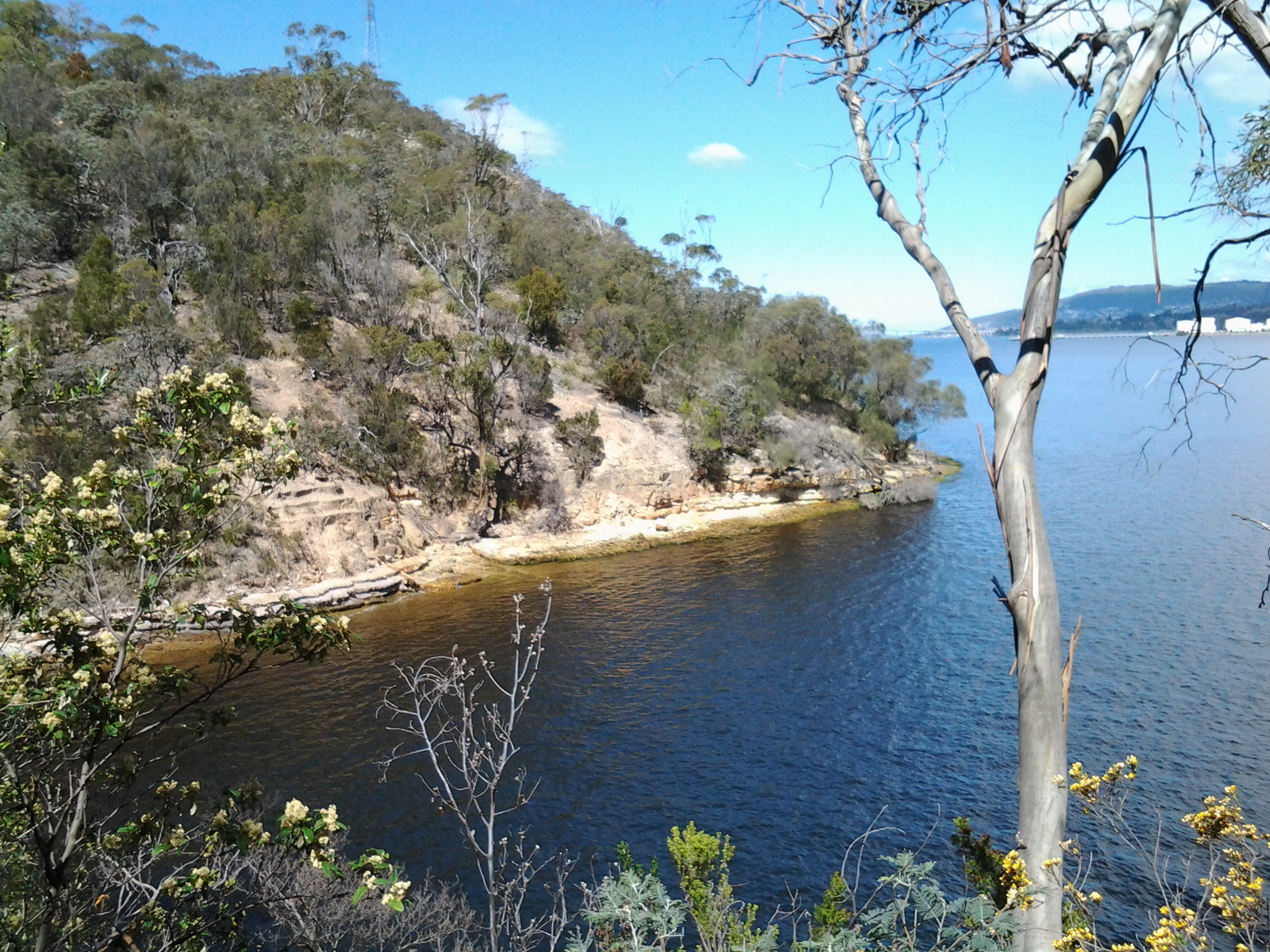
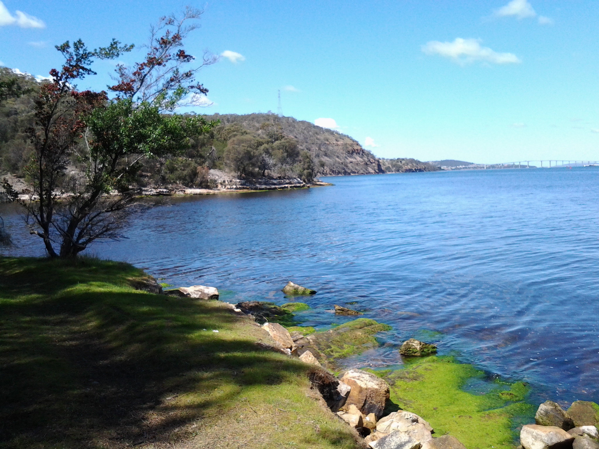
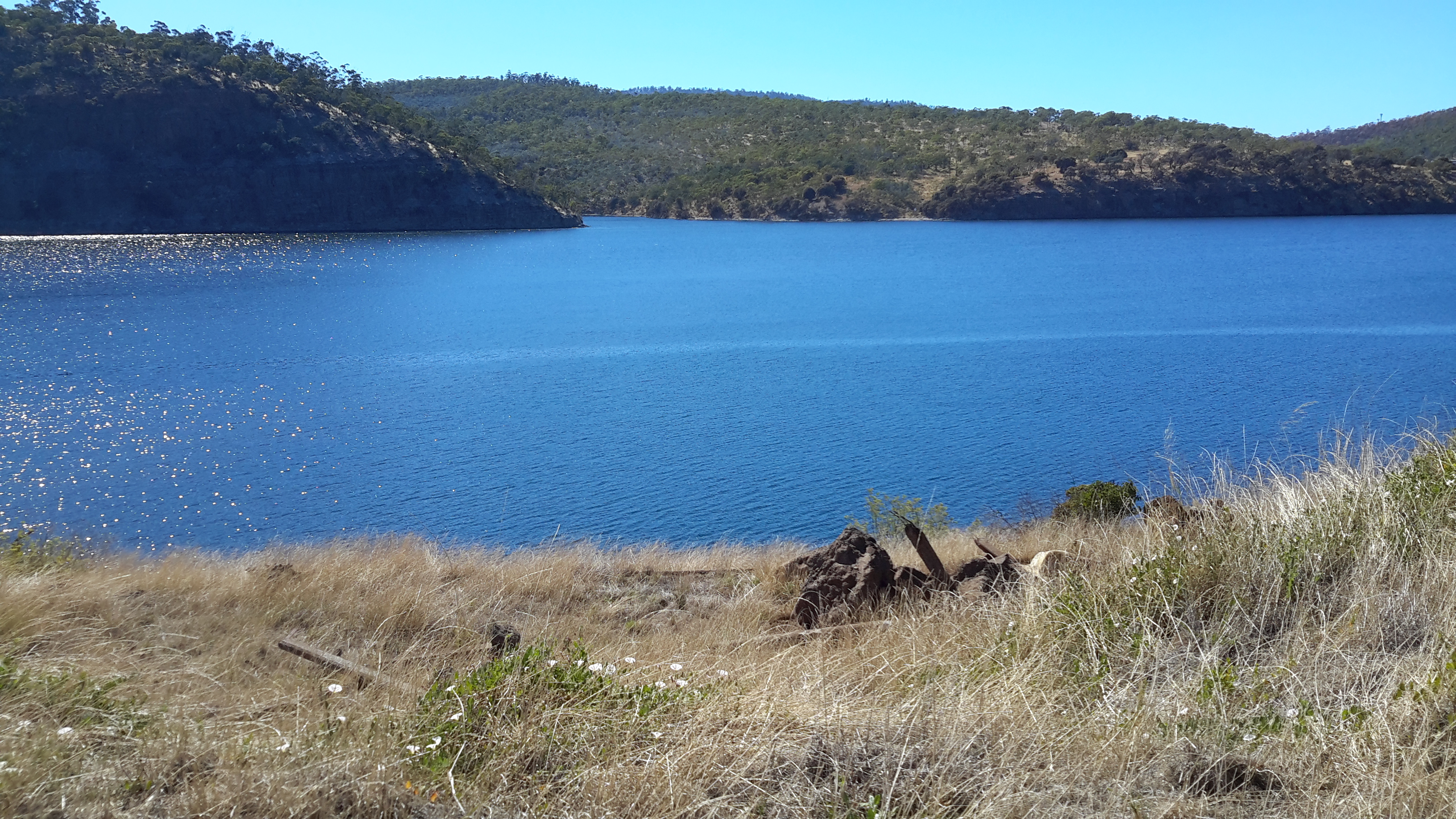
At 1.30pm I was passing a tiny curved shell beach below and continued on to where the waters of the Derwent River and Tommy’s Bight met.

20141015_133435

By 1.35pm the bottom of Tommy’s Bight was in full view.

20141015_133405

Tracks on the other side of the bay made it obvious that it was possible to continue walking south. On the hill top in the distance I could see the electricity pylon against which I had walked earlier in the day.  Another day, I will return to discover more.

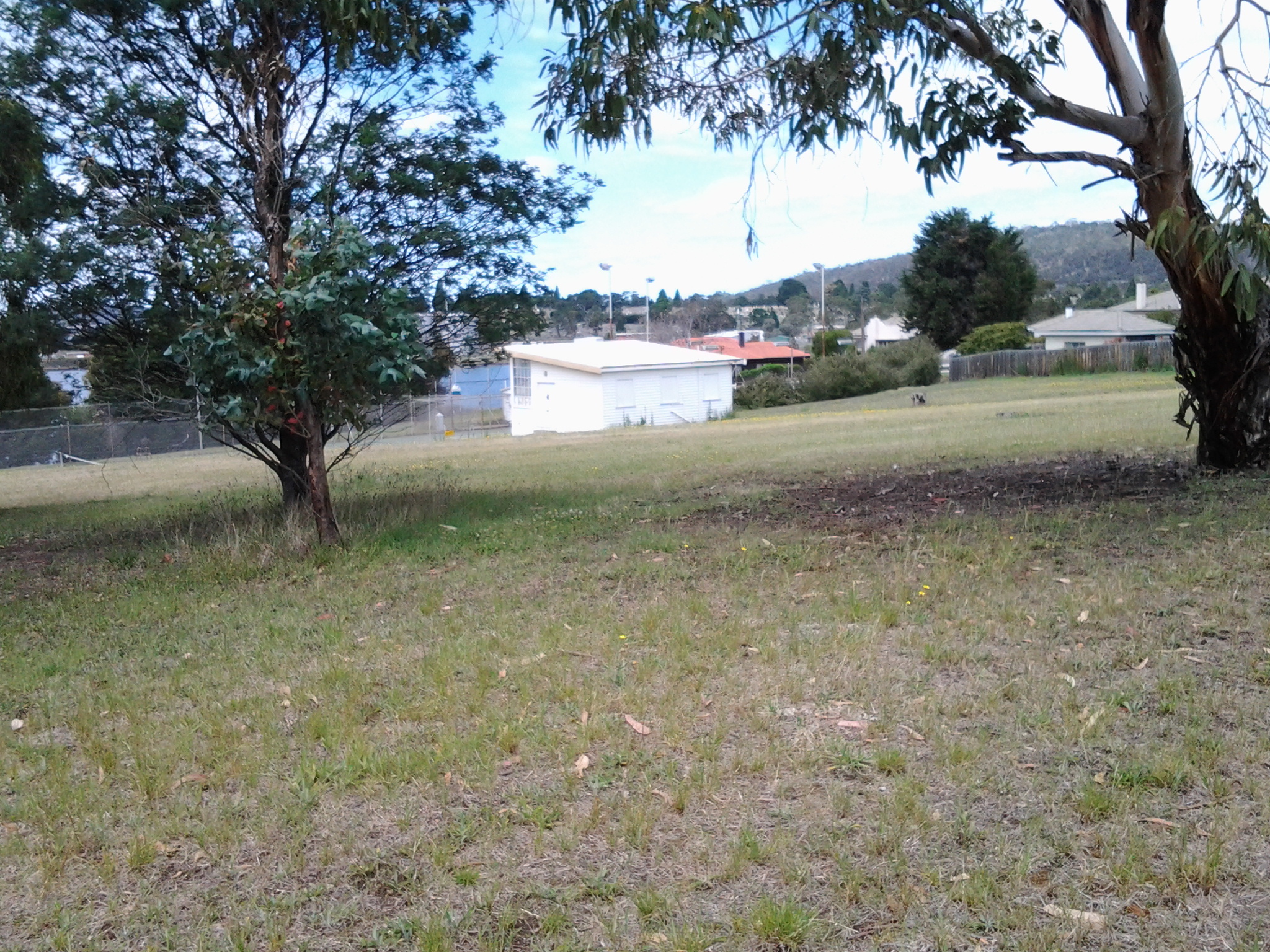
By 1.45pm I had begun the return walk north and was back at Porters Bay and by 1.50pm I was back on the bitumen at Risdon. Only then did I notice an electricity pole on the other side of the road with its own name, ‘The Leaning Pole of Risdon’!

By the way, there are no public toilets, no cafes or restaurants, and no other facilities and services during this walk or in the suburb of Risdon.  So be prepared.

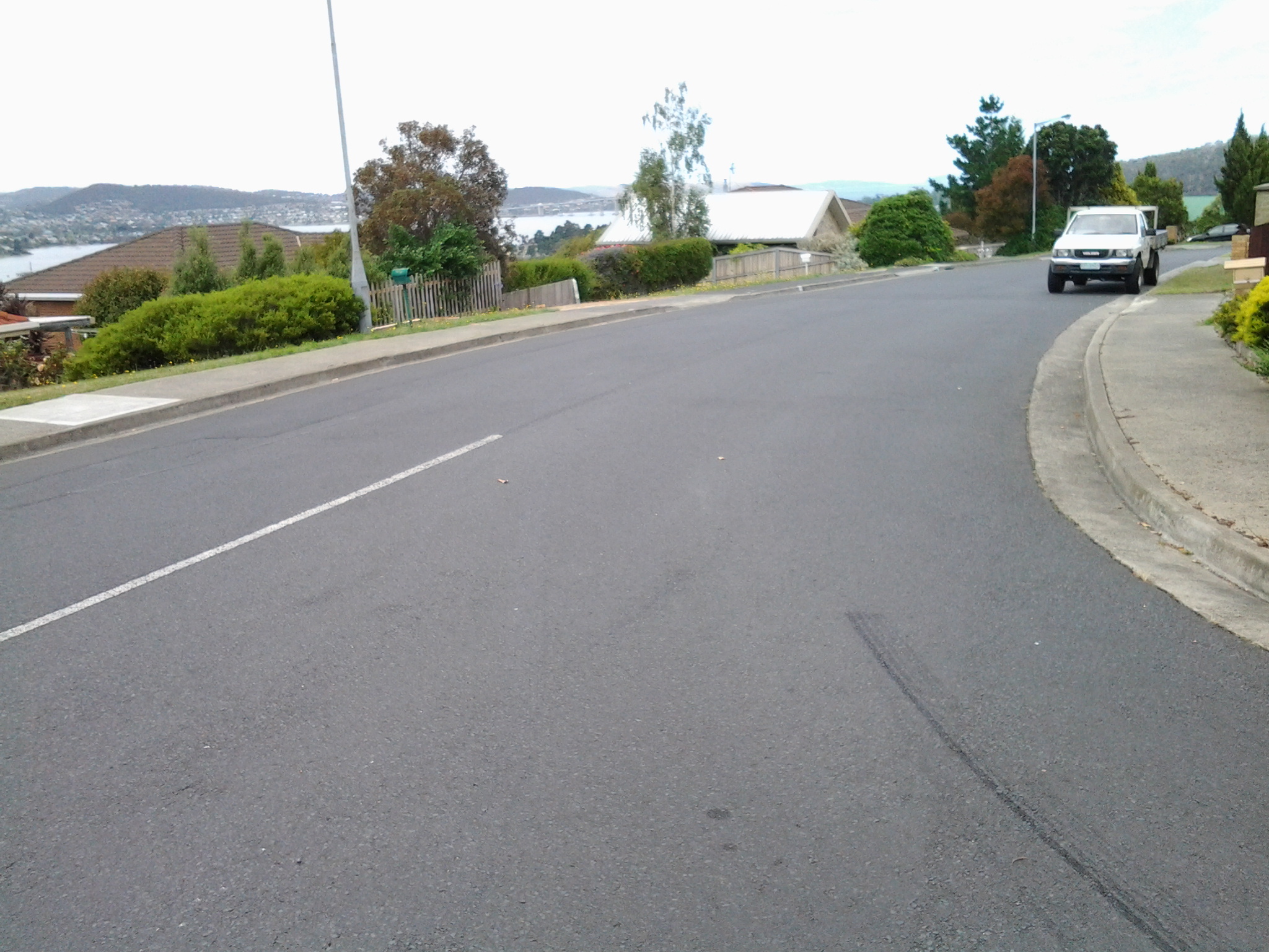
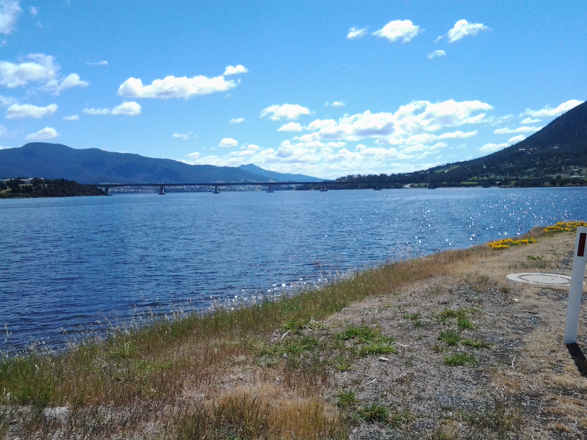
The rest of my walk was undertaken on the edge of Saundersons Road as it wound around the Derwent River with Risdon’s houses on the right. I reached the bottom of Risdon St by 2pm and then continued on in full view of the Bowen Bridge further north

20141015_135550

before passing Cleburne Street and Cemetery/Church Point Road. I reached the intersection with the East Derwent Highway at 2.10pm.

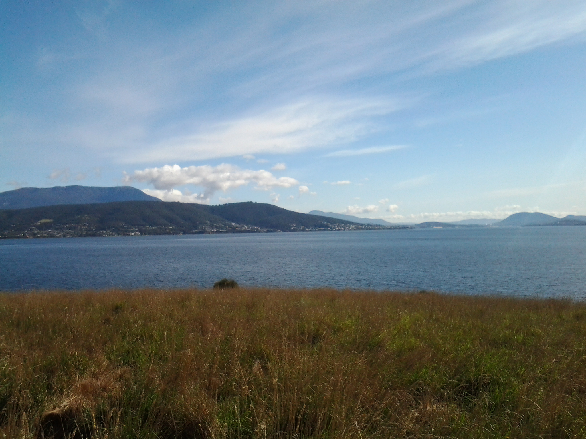
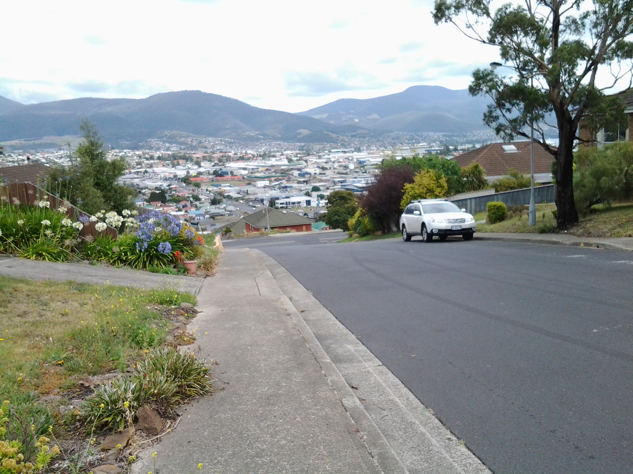
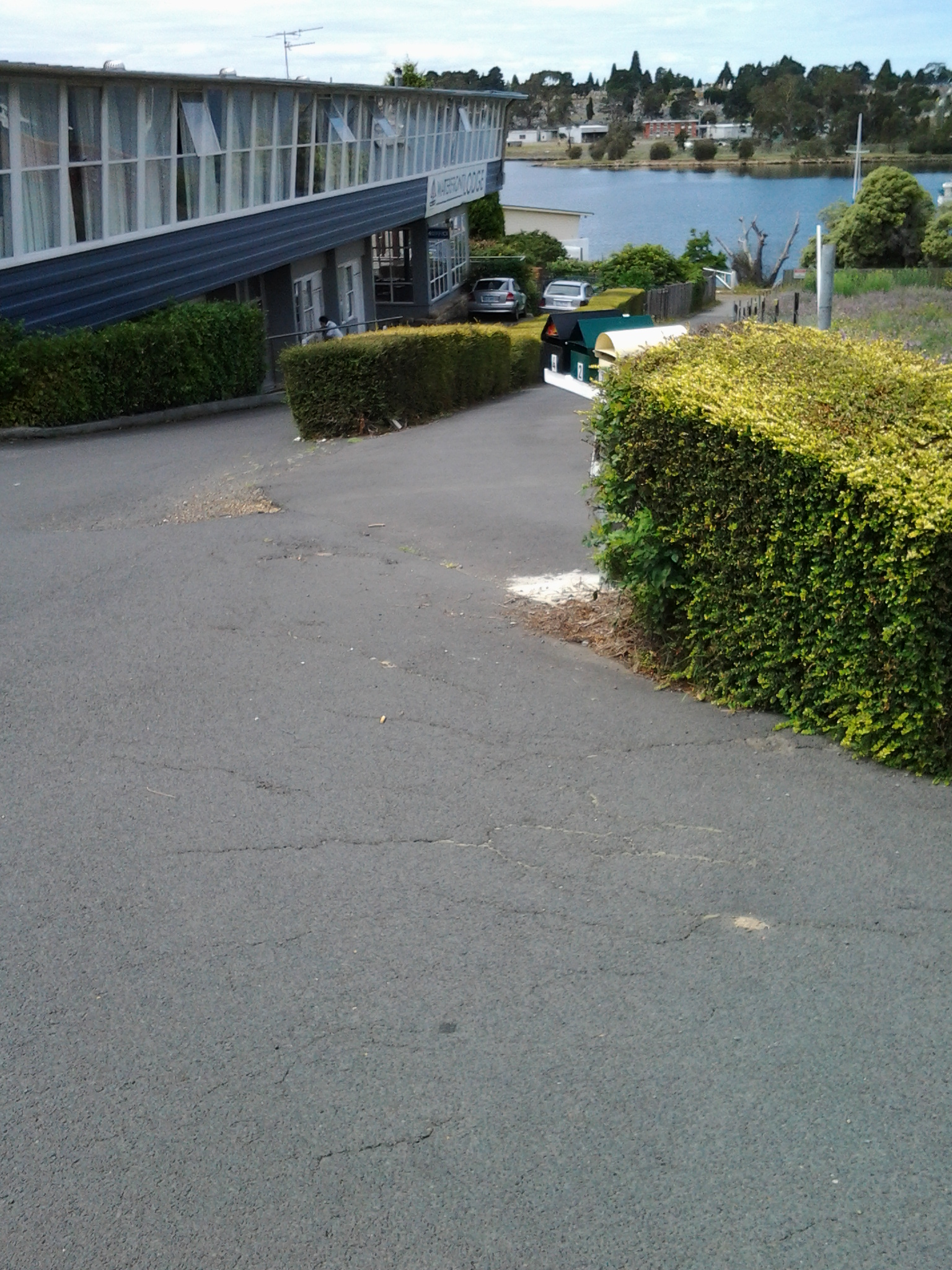
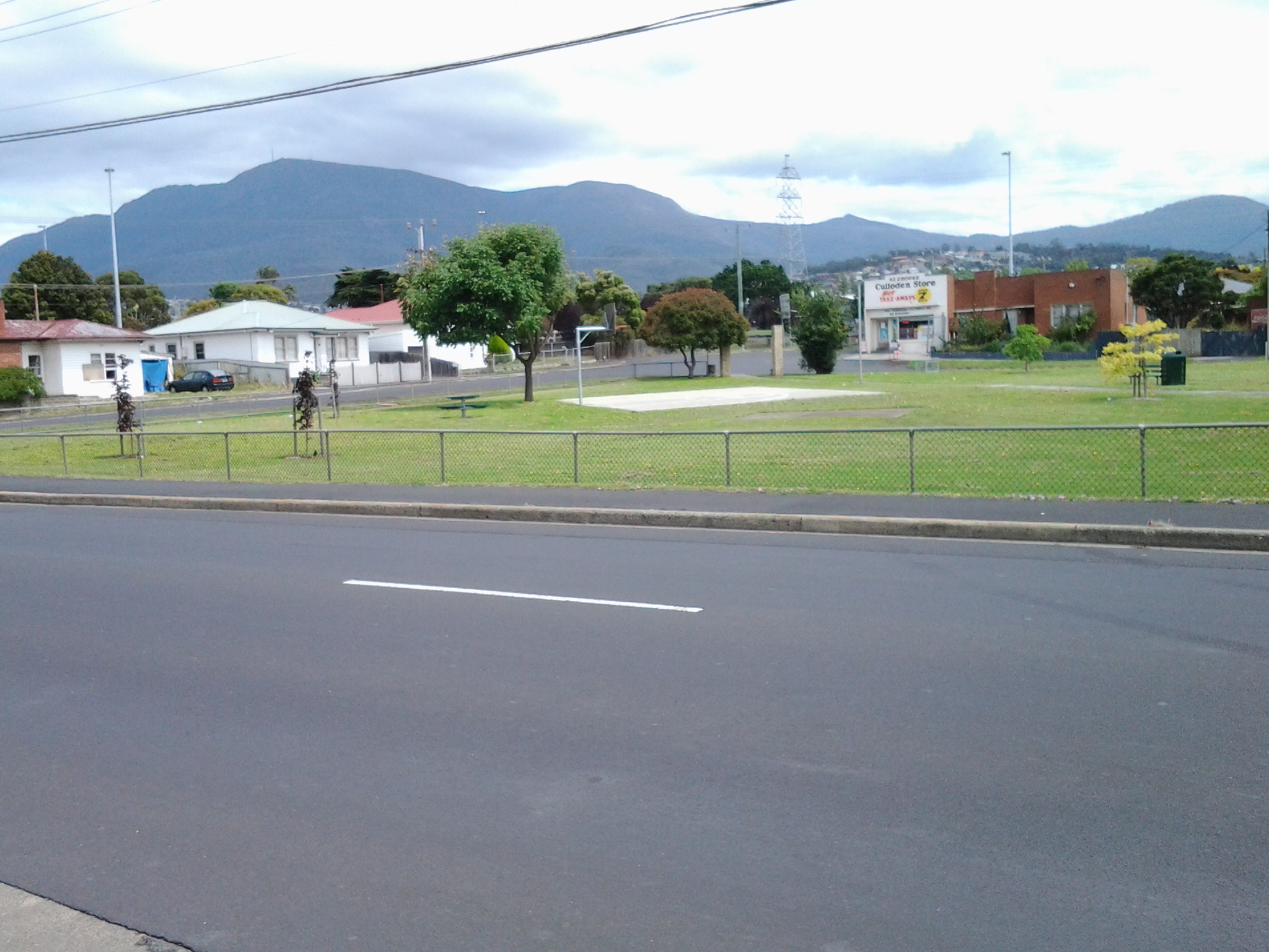
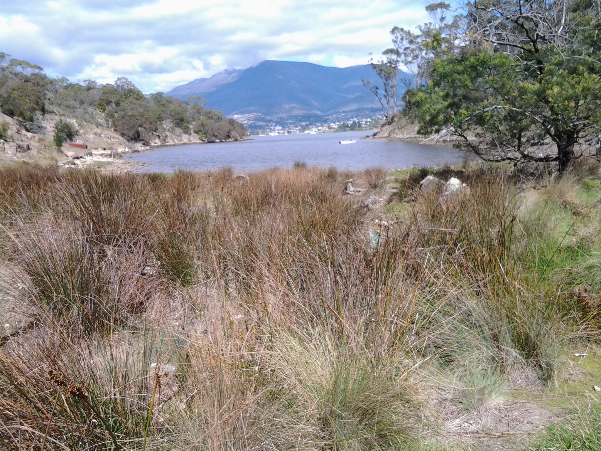
The view below was photographed at Risdon Cove looking towards the Derwent River while waiting for the bus.  The suburb Risdon can be accessed to the left of the car that is seen travelling on the road.  Land has been reclaimed across the Cove so that the East Derwent Highway can continue uninterrupted further north. I will walk along that road in Stage 7.

20141015_141139

Once at the bus stop (an unnumbered bus stop) at 2.15pm, I relaxed into the wait for Metro Bus number 694 that arrived 20 minutes later. Meanwhile, I was able to take a broad view of Risdon Cove, knowing this to be the starting point for Stage 7 of my walk along the Derwent River.

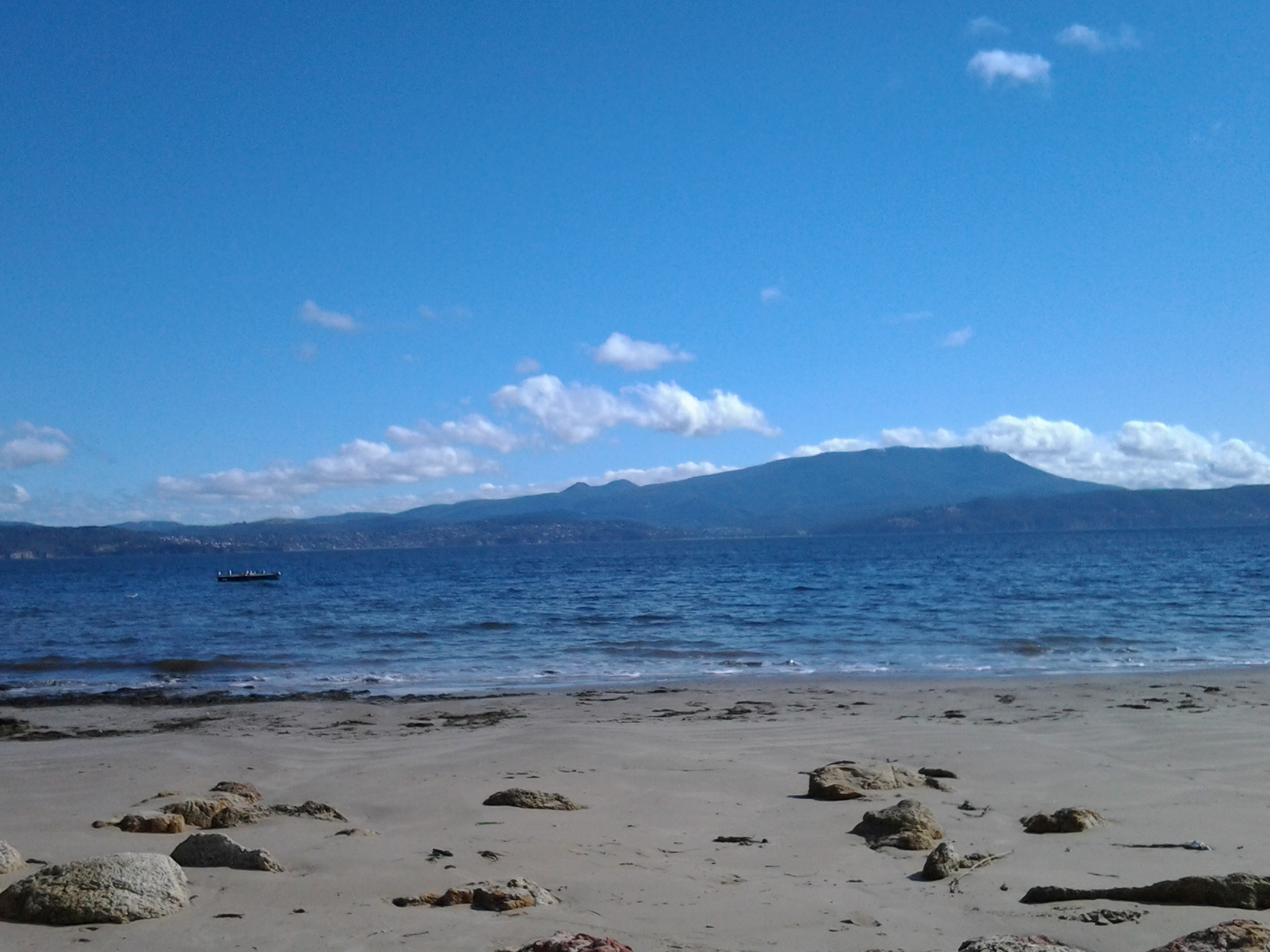
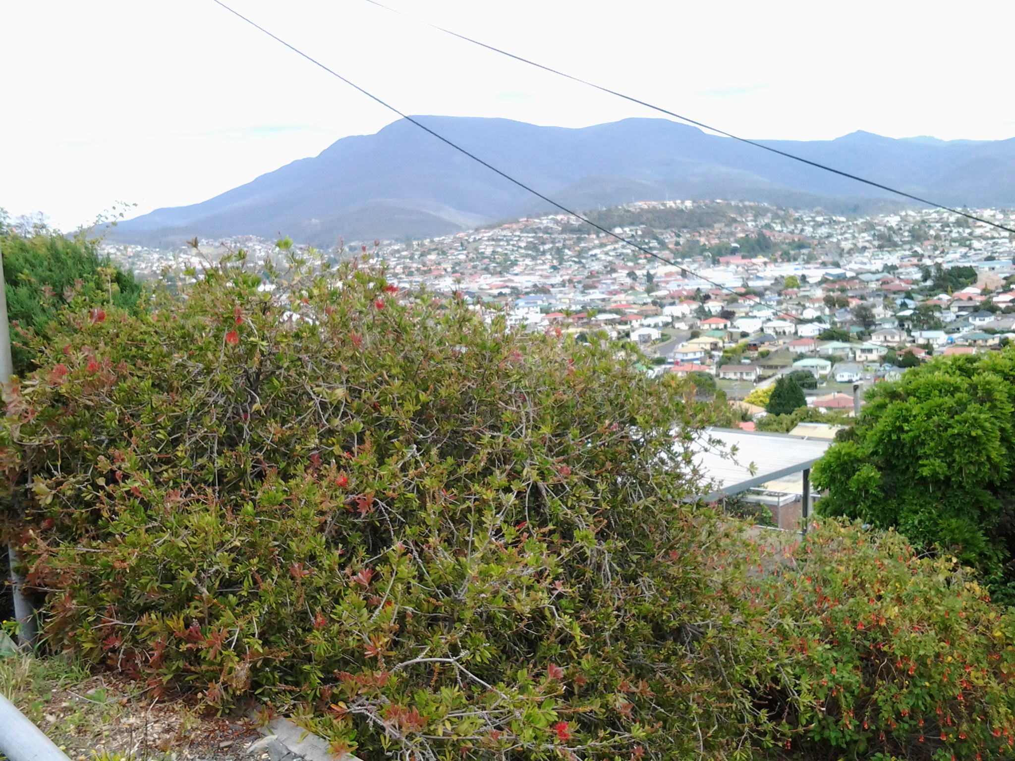
On the return bus I was treated to a ride through the large and dispersed suburb of Risdon Vale located some kilometres away. This suburb sits in an open valley skirting behind Tasmania’s main prison site, the Risdon Prison Complex.  ‘The mountain’ (Mount Wellington) is ever visible.

Eventually the bus turned back onto the East Derwent Highway and travelled via some suburban detours to the Eastlands Bus mall at Rosny Park on its way to Hobart. I am excited by the rich experiences offered by Stage 6 of this walk and look forward to leading friends along these paths. I hope my stories inspire others to have a look at this area or find their own walks of discovery.

Reaching Shag Bay as I walked along the Derwent River

From Bedlam Walls Point, tracks meandered northward and before long a large quarry was visible on the other side of Shag Bay. At its base I could see the rusting remnants of machinery parts.

20141015_103753

Descending to Shag Bay at this point seemed perilous so I turned right and found tracks moving inland parallel to the Bay.  Fresh wallaby poo beside the track: black olive sized and shaped, glistening in the sun. I did not see the wallaby which undoubtedly would be looking elsewhere for a midday shady rest spot. Large grey-brown fantailed birds darted amongst the trees.

I was back on the main track at 10.45am and a couple of minutes later reached a sign marking the start of the East Risdon State Reserve (dogs prohibited, even on leads). The deep dark brown green water of Shag Bay rested liked a solid plane behind the sign. Very seductive.  Once at the water’s edge I was surprised how clear the water was except for the natural colouring and tannins from native plants.

20141015_104855

I stepped carefully down the rocky crumbling path to the Bay.

20141015_104912

The quality of light was extraordinary. Rain during the night had cleared the air and the colours of the landscape were clear. I reached the bottom next to the water’s edge of Shag Bay after a further five minutes, and breathed in my surrounds, feeling very joyful to have such easy access to this beautiful environment.

Temporarily I was startled by the spectacle of a massive White Bellied Sea Eagle flying up and down Shag Bay. I stood spellbound unable to move to click a photograph.  Have a look at the photo on http://www.parks.tas.gov.au/?base=5115 and see the large fish in the eagle’s talons. It wasn’t long before a large (but much smaller than the eagle) black bird came and swooped at the eagle to drive it away.  It’s not an easy life for these birds; they have no rest.

As I continued along the foot of the Bay, I came across an old rusting boiler up on the rocks, a massive lump of concrete, and other rusting metal in the water and around about.

20141015_105602     20141015_105701

A couple of minutes before 11am I reached the boiler used as part of a blood and bone factory in the late 19th and early 20th centuries, shown in the photos above, then a few minutes later I reached the curve of the Bay and could see a second old boiler partly obscured by the bush.  Apparently the Tasmanian Fertiliser Company was operating here for many years until a massive boiler explosion caused death and destruction resulting in the business folding. You can read the records of the inquest at http://trove.nla.gov.au/ndp/del/article/10403147.

20141015_110028

Looking down the Bay, past two fishermen in their outboard motored runabout, I soaked in the view of the western shore of the Derwent River with Mount Wellington rising above it. Hardly any air movement and the temperature was cool enough to make standing in the sun a comfortable delight.

Prior to the walk I did uncover information (http://www.parks.tas.gov.au/indeX.aspX?base=1799) that Shag Bay was used for the demolition of boats such as the HMS Nelson in 1926. The photo below is from the collection of the State Library of Tasmania.

abandonedHMS Nelson Shag Bay

I saw no evidence of boat demolition during my walk around Shag Bay, however on a second visit if I investigate the quarry maybe I will find materials of interest.

The Clarence City Council (http://www.ccc.tas.gov.au/page.aspx?u=1487) suggests the 3km round trip from

Geilston Bay to Shag Bay will take 45 minutes (although another website suggests an hour and a half for the return trip). I took considerably longer by following unofficial tracks and taking time to observe the land around me as I walked. Apart from the two fishermen on the Bay there was not a soul around. I cannot recommend this walk too strongly. Everything about the walk and the location is attractive so I hope people living in Hobart will take themselves out to Geilston Bay and make their own discoveries.  The website at http://highteawithhominids.squarespace.com/ancient-humans/2011/8/19/bedlam-walls-a-walk-in-tasmania.html provides additional details which may help locate some of the historical sites that I missed.

Also on the Clarence City Council website, the claims are made that the track is well signposted. This is not true.  I saw three signs only: Geilston Creek track from the bus stop, Bedlam Walls sign including a map to Shag Bay at the start of the track, and the East Risdon State Reserve billboard close to Shag Bay. Considering the myriad of unofficial tracks that will attract the attention of many walkers, if you wander aimlessly, you will need to remember to keep the river on your left as you walk north to Shag Bay and on your right when you return to Geilston Bay.  I do not recall seeing any signs at Shag Bay so I missed the aboriginal midden and quarry.

From Geilston Bay to Risdon on Stage 6 of my walk along the Derwent River yesterday

Yesterday’s walk was a sensationally wonderful experience. Over a few posts I will colour in the rich fabric of the day, much of it in clean fresh smelling bushland (such as that at Tommy’s Bight in the photo below).

20141015_133405

To start with, I caught Metro bus 694 destined for Risdon Vale and Glenorchy (scheduled from the Hobart city bus mall at 9.03) on the eastern shore and travelled to bus stop 14 on the East Derwent Highway at Geilston Bay. Thankfully the Clarence City Council has erected a sign marking the start of the walk.

20141015_093747

From the bus stop, I walked along the edge of Geilston Bay then northwards around Bedlam Walls Point to Shag Bay and onwards to the top of the Bedlam Walls, where I was rewarded with panoramas across the Derwent River. My northwards walk continued into and across the East Risdon State Reserve before descending into the suburb of Risdon. I turned south and walked on the edge of the Derwent River to Porters Bay where I took my lunch break before continuing south to Tommy’s Bight.

Eventually I retraced my steps back to Risdon and continued along the water’s edge to the junction of Saunderson’s Road with the East Derwent Highway. The return bus stop for a 694 bus, which arrived at 2.35pm (with not another one due for two hours), was on the Highway across from Risdon and adjacent to the land and water marking the Risdon Cove area.

I was away from home for approximately 6 and ¼ hours, and walked a total of around 12 kms winding over many tracks and retracing parts of my walk.

Previously I had walked 23 kms of the length of the Derwent River.  Yesterday I added 3 kms which brings the new tally to 26 kms.