Tag Archives: Casuarina

Did I have company? – posting 6 of 9

On both sides of the Bowen Bridge lots of dry tall yellow grasses and other scrubby undergrowth grew next to the path. I was the only person around and the track appeared to be used rarely. The area was isolated; the closest residential area was over one kilometre away and I suspect that locals would seldom walk here. With the heat of the day and the nearness of the river, I was alert for the slither of snakes heading down for a desperate drink. However, I feel sure they would be deranged if they drank salty water  –  the Derwent is tidal at this point. Nevertheless I  did not want to step on or corner one – all Tasmanian snakes are venomous.

Strangely, not only did I not see a snake but I also did not see a water bird.  Thankfully there were a few chattering birds in the casuarina and eucalypt trees to keep me company.

Earlier in the day when I was walking around the Technopark fence line downhill nearest the Derwent River,  I had watched dozens of brightly blue and red coloured beetles- I haven’t seen these before, and a website for identifying Tasmanian beetles does not include this one.  Anybody any ideas?

20170125_084516.jpg

20170125_084523.jpg

The experience was very pleasant and I would be very happy to wander this way again.

Word of caution for others who might follow in my footsteps: the seedpods of the casuarina were liberally sprinkled along the pathway and in the light dappled by the trees, full concentration was required so that I didn’t roll on them – a sprained ankle or a fall down the slope were just two possible consequences if I did not watch where I was going.

20170125_105440.jpg

Nature is cheaper than therapy

A Californian fiction writer M.P. Zarrella offered the opinion ‘nature is cheaper than therapy’.  Since then, her point of view has spawned posters, cushion covers, and T shirts such as:

Nature cheaper than therapy  and tshirt nature its cheaper than therapy

The use of this comment spread until people couldn’t help themselves …

facebook cheaper than therapy and Beer is cheaper than therapy

Thinking about whether nature is cheaper (with the inference of ‘better’ than therapy), I have been inspired to trawl through my walking-the-derwent photos.

Here are a few favourite natural scenes clicked during Stages 1-6 of my walks along the eastern shore of the Derwent River.  Most of these images spent time as my computer screen background where they lifted my spirits daily.

20140822_100301

Iron Pot off the southern end of South Arm peninsula

20140822_101716

Driftwood beach shack on Pot Bay Beach, South Arm peninsula

20140822_114606

Mount Wellington across the Derwent River from South Arm Beach

20140904_110312

Looking northwards into the gigantic Derwent Harbour from Gellibrand Point at the northern end of the South Arm peninsula.

20140920_102738

Looking uphill from Trywork Point

20140926_095629

Lichen on rocks at Tranmere Point

20140926_104056

Little Howrah Beach

20140926_115158

Looking southwards along Bellerive Beach

20141010_093842

The suburb of Sandy Bay across the Derwent River through the casuarina trees from Rosny Point

20141010_123003

Tranquil Geilston Bay looking toward Mount Wellington

20141015_101248

Bedlam Walls Point

20141015_104855

Shag Bay

20141015_122048

Native flowers in the East Risdon State Reserve

20141015_133435

Tommys Bight

Whenever the weather is deteriorating outside my window, by looking at these photographs from the first 6 of 14 walking stages, I ‘revisit’ the various locations and feel most uplifted. No therapy needed here.

Through the trees the Derwent River was ever present on my left then later on my right

The Derwent River flowed on my left when I headed southwards to Pearsons Point, and on my right when I returned northwards to Blackmans Bay.

On occasion I could look down the slippery gravel drop offs:

20150224_101315 20150224_101330

From time to time, surprised wallabies crashed away through the bush.  I never knew whether I was more surprised than the wallaby.  I watched wild hens roaming cleared paddocks.  I listened to all manner of froggy sounds emanating from dammed creeks. The occasional cyclist, with tyres whispering along the gravelled bitumen, passed me unexpectedly. These road bikes were always ridden by women and we exchanged brief hellos.

A few vineyards under netting were located on hill sides without afternoon sun – what does that do to the flavour of wine?  Okay – all the sommeliers and expert wine tasters out there.  What sort of wine would you expect to be produced in a cool winter and warm summer climate with the grapes mostly only seeing the morning sun in the summer? Google maps show the ‘street view’ of one vineyard at Bellendena: https://www.google.com.au/maps/place/Bellendena/@-43.037425,147.335291,3a,75y,13.59h,90t/data=!3m4!1e1!3m2!1sGy5X1ubwdRkyt-93Gur9Sw!2e0!4m7!1m4!3m3!1s0xaa6dd119e082ab39:0x68f8df55775fb029!2sTinderbox+Rd+W,+Tinderbox+TAS+7054!3b1!3m1!1s0x0000000000000000:0xce060676af8374e9!6m1!1e1?hl=en I hope you look at this street view and swivel around so you can see the terrain and can appreciate the beautiful country through which I walked.

By ten to ten in the morning I reached “Hidden Cove”, a property which promotes itself as providing a Day Spa and Retreat service: appointments are essential. For a split second I thought I should make a booking for my walk back to Blackmans Bay from Pearsons Point. The idea of a foot massage later in the day was very appealing although I had no idea whether such a service was on offer.  I did take note of the phone number 03 6229 6050 in case I wish to try it out when I return for my walk to Fossil Cove.  Their website makes the business look attractive: http://www.hiddencovedayspa.com.au/

One of the highlights of my walk was seeing casuarina trees ‘weeping’ with the weight of their strands of blooms.  Seemingly so delicate.

20150224_103233 20150224_103250

Pushing on to the Tasman Bridge

Leaving the delightful Cornelian Bay boatsheds behind, I followed the gravel track almost until I reached the Botanical Gardens at which time I walked up a slight rise and joined the concreted bike and pedestrian track that extends from Hobart to Claremont.  I could have walked from Cornelian Bay entirely on that pathway but it is not located as close to the waters of the Derwent River as the very smooth and wide gravel track.

20150109_150213  20150109_150750

I enjoyed looking back to see markers of where I had walked such as the white oil tanks at Selfs Point

20150109_151815

and across the Derwent River to Lindisfarne and Rose Bay which were tramped in an earlier stage of my walk along the Derwent River.

20150109_150743

The atmosphere on the track was gentle with the breeze softening through the casuarina trees. The sound of road traffic somewhere above me was audible but did not intrude in such a way that the sound of the water lapping onto the shore could not be appreciated.

Gradually, the Tasman Bridge seemed to be growing larger the closer that I walked towards it.

20150109_150822

The photos below show the bottom entrance to the Botanical Gardens.

20150109_151715  20150109_151834

The bike path crossed to the left over the disused railway line opposite the entry to the Botanical Gardens at Pavilion Point. I followed that way at 3.15pm in order not to stay on the main road with mainstream vehicular traffic and no footpath.

I could have followed the tracks of fishermen through the grasses and scrubby trees to the foreshore and then walked through a weedy parkland and past the Mercantile Collegiate Rowing Club building. I did not take this route because it looked like the length of it was fenced off and I doubted I would be able to get back onto the road or path near the Bridge. My feet were sore and I was aiming to reach Hobart – I did not want to retrace my steps, and therefore I took the easy way out and stayed on the road.  However, once I reached the Rowing Club building I could see that an exit would have been easy because there was no fence or gate on the other side of the building.  It seems that the foreshore would have been easily walkable.

20150109_152513  20150109_152721

Until I reached the Tasman Bridge I walked on the edge of a road and shared this with cyclists, a jogger and the occasional van and car.  At 3.30pm I reached the Tasman Bridge and rejoined the bike path.

20150109_152804

22 Aug 2014 Leaving South Arm and heading home, and final thoughts – Posting 8 of 8

On the return journey towards Hobart, the bus deviated via large mudflats into the town of Cremorne adding 5 minutes to the trip, then it dropped me at a Lauderdale bus stop for transfer to another bus (because the Opossum Bay bus terminates at Lauderdale) approximately 5 minutes later (with his two way communication, the bus driver alerted the other driver there was a transferring passenger to be collected). Once on the Lauderdale bus, the trip towards Hobart deviated through the suburb of Oakdowns and so a further 5 minutes was added to the journey. After the bussing and the walking I was home in Bellerive at 3.20pm.

In this series of blogs for the first walk stage, I have provided approximate times for various sections of my walk as an indication only. I am short legged and plod slowly (and towards the end I felt I was shuffling like an old man). If you are tall and can happily stride long steps faster, then my walk will not be sufficient to fill the time between buses.  In fact some speedy walkers may be able to continue through the Opossum Bay community and walk to the end of Gellibrand Point, the most western tip of this piece of land before Ralph’s Bay makes its inlet.  My next walk will be designed to complete that section, and then I should be able to advise as to whether fitting it all into 5 hours is possible for the able.

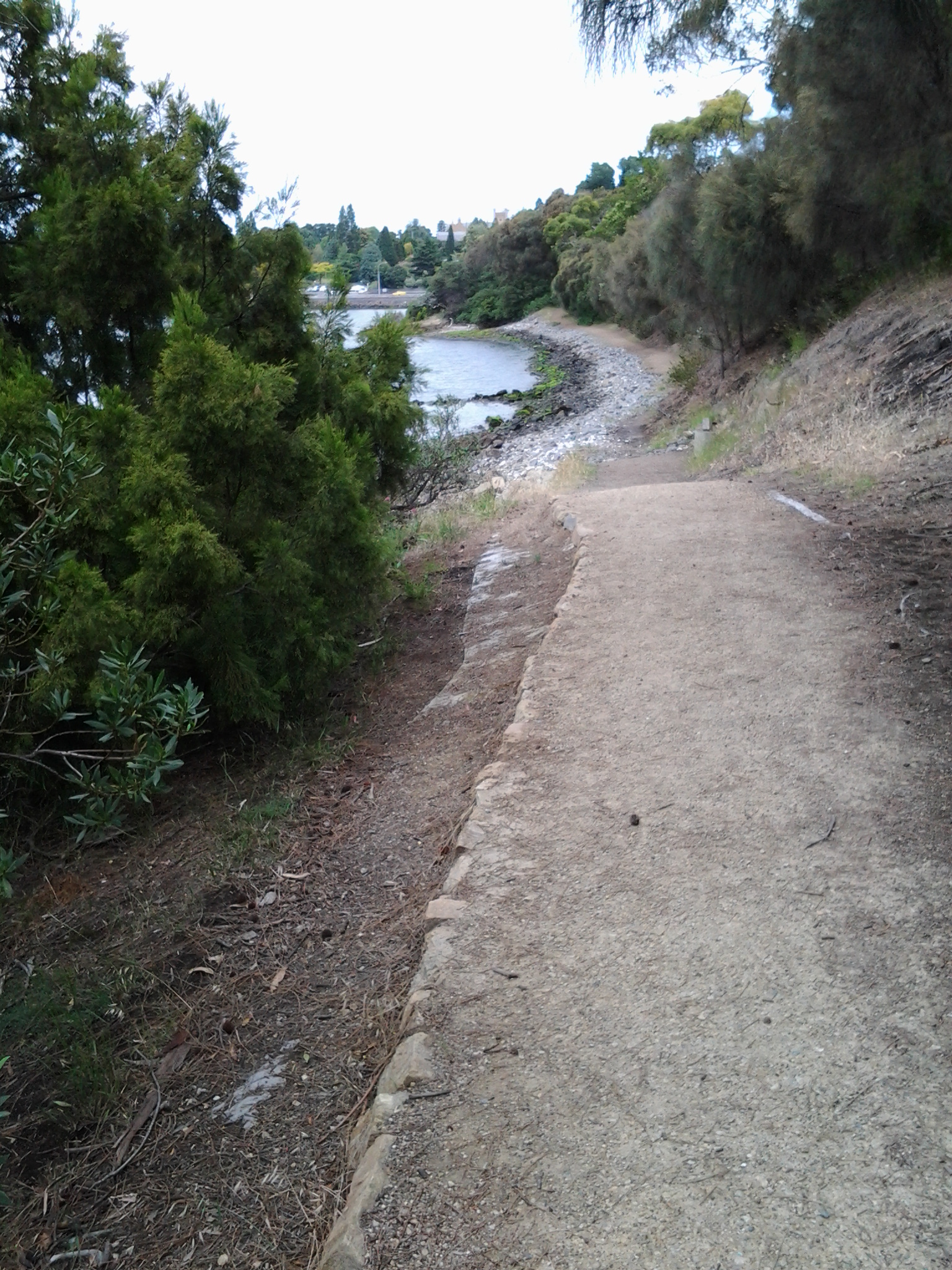
Since it is unlikely anyone else will have my success if they turn up at the gate of Fort Direction and get driven through the site, the only general public approach is to walk along Fort Beach having walked most of Blessington Road.  Based on the information I recorded, I suggest one way on this route from the set down bus stop to the Lone Pine Memorial will take an hour if you take time to enjoy the views and click photographs. Add the half hour return walk between Cape Deliverance and Cape Direction with its gun placement bunker and the whole excursion takes approximately 2 ½ hours.  As an alternative, you could spice it up by jumping the shore rocks like a goat, from South Arm to Fort Beach. I would guess another hour could be added to the duration of the walk.

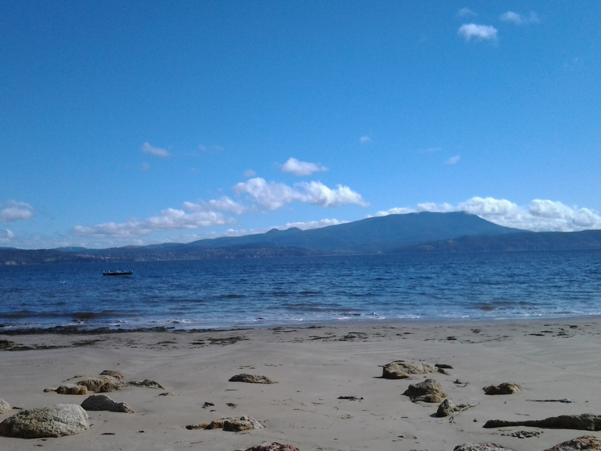
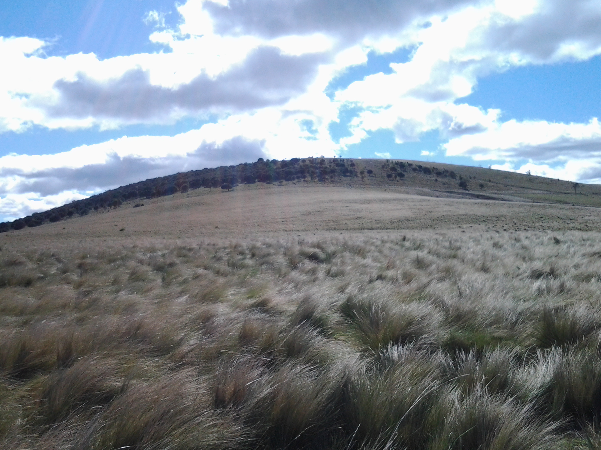
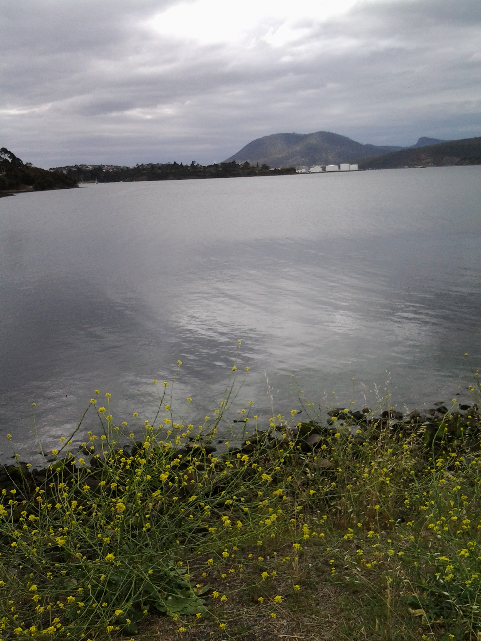
I noted that the tide was going out while I walked, and that the high tide merged with the dune verges in places on Fort Beach. It made me think that on a high tide, this route might be impassable. In such a circumstance and if you had made the special trip and your heart was set on a beach walk, the expanses of the South Arm beach with their outstanding views, old pines shadowing parts of the dunes, and soft roaring Casuarina trees, would make a very attractive substitute.  You might be lucky, as I was, to see a giant fresh squid washed onto the beach being enjoyed by immature grey feathered winged large Gulls.

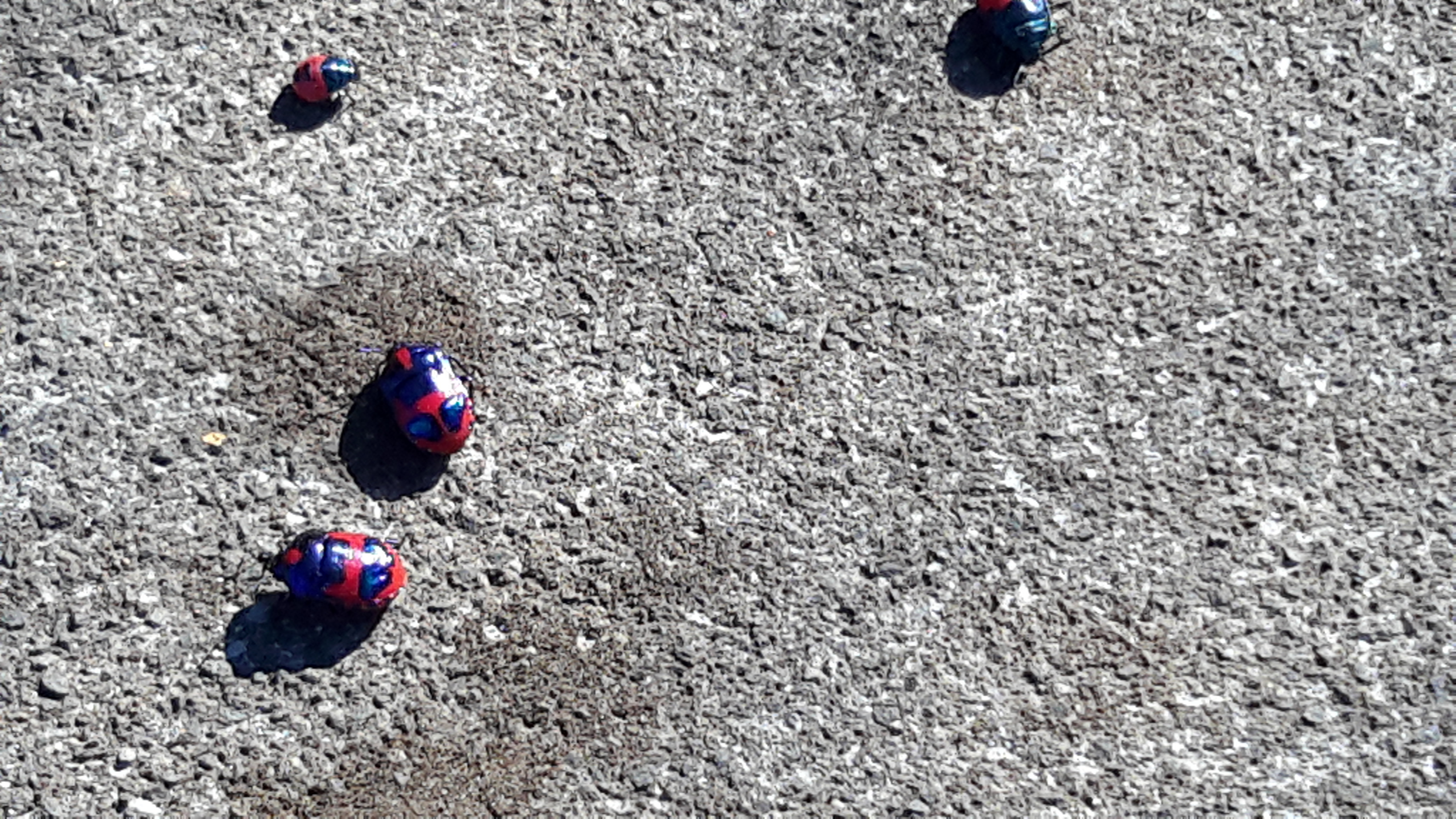
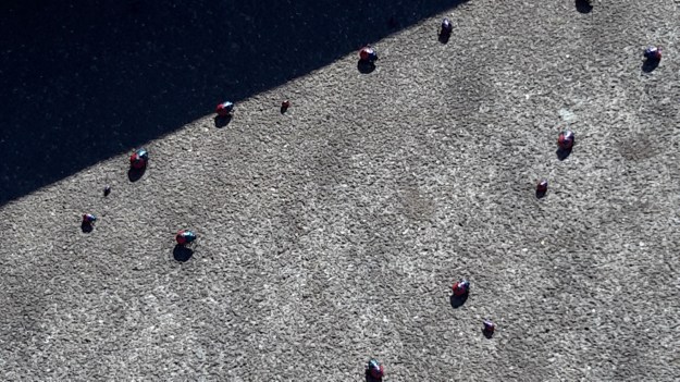
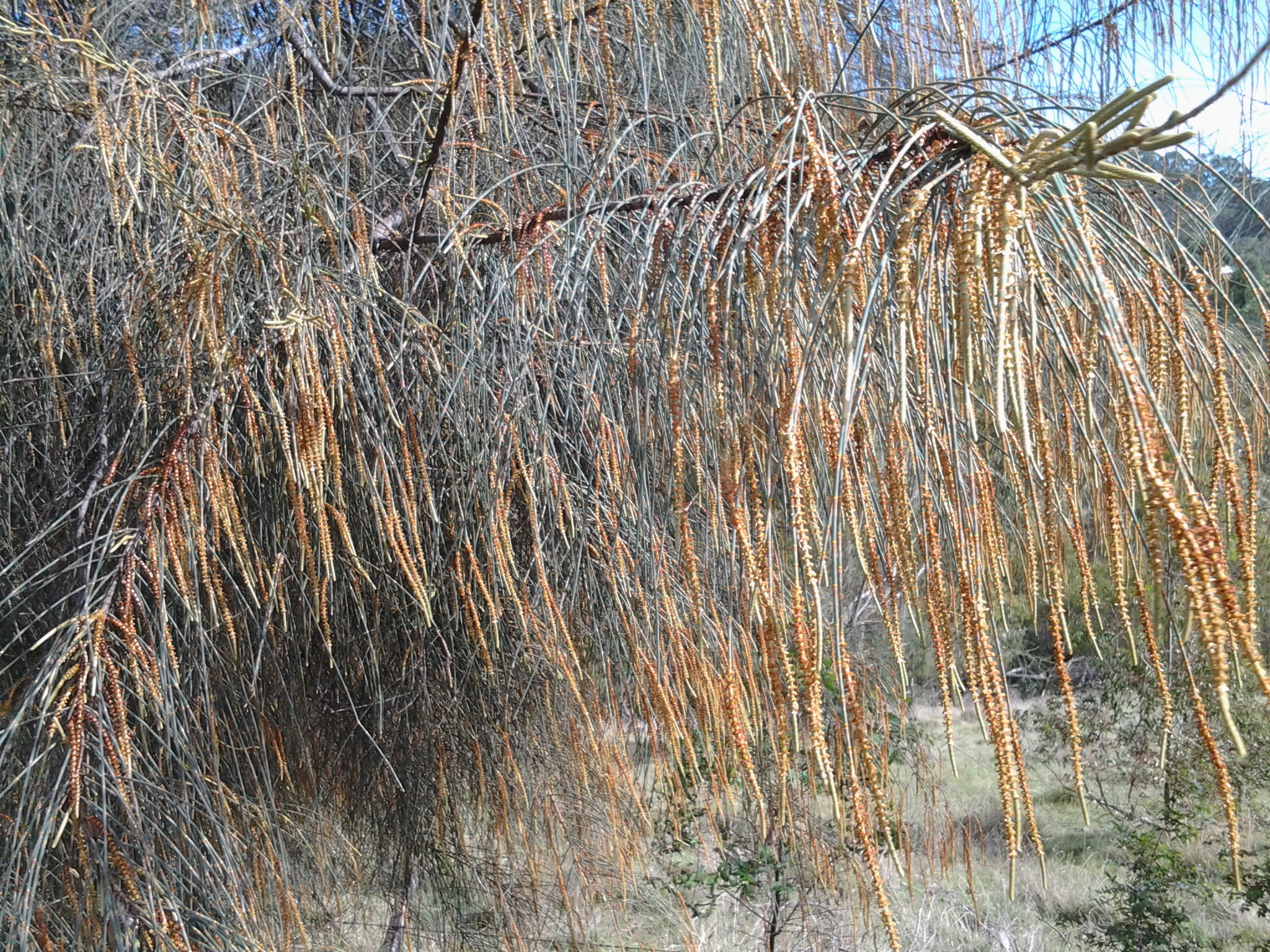
Many of our native birds are various shades of black and brown but we also have an array of colourful specimens. During my walk, the sun brought out not only the musical black and white Magpies, the hard cawing jet black Crows, but also plump pink and grey Galahs feasting on the ground, Mr Blue Wren flitting in and out of the shadows, a glorious Mr Robin with his red breast, and a flock of multi-coloured Rosella parrots.

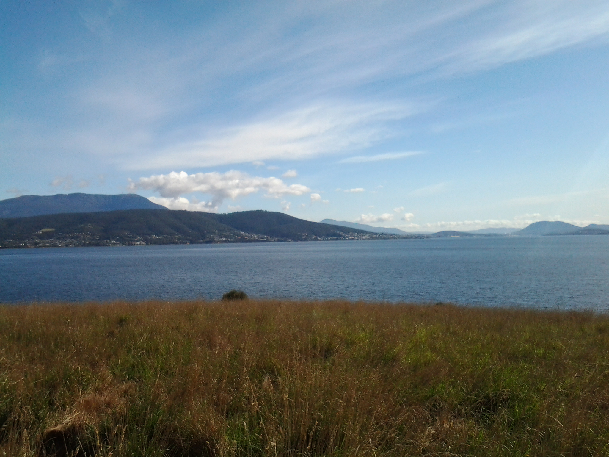
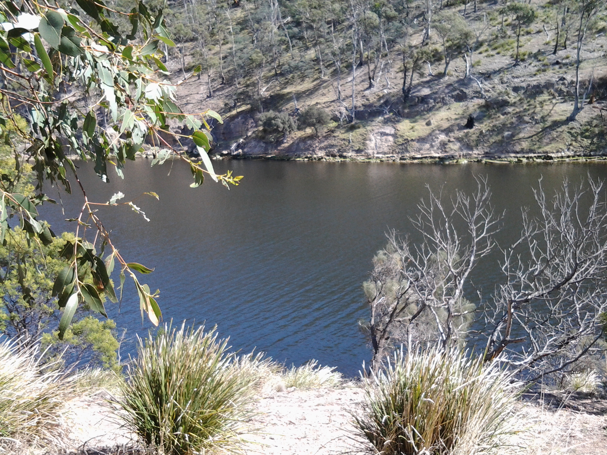
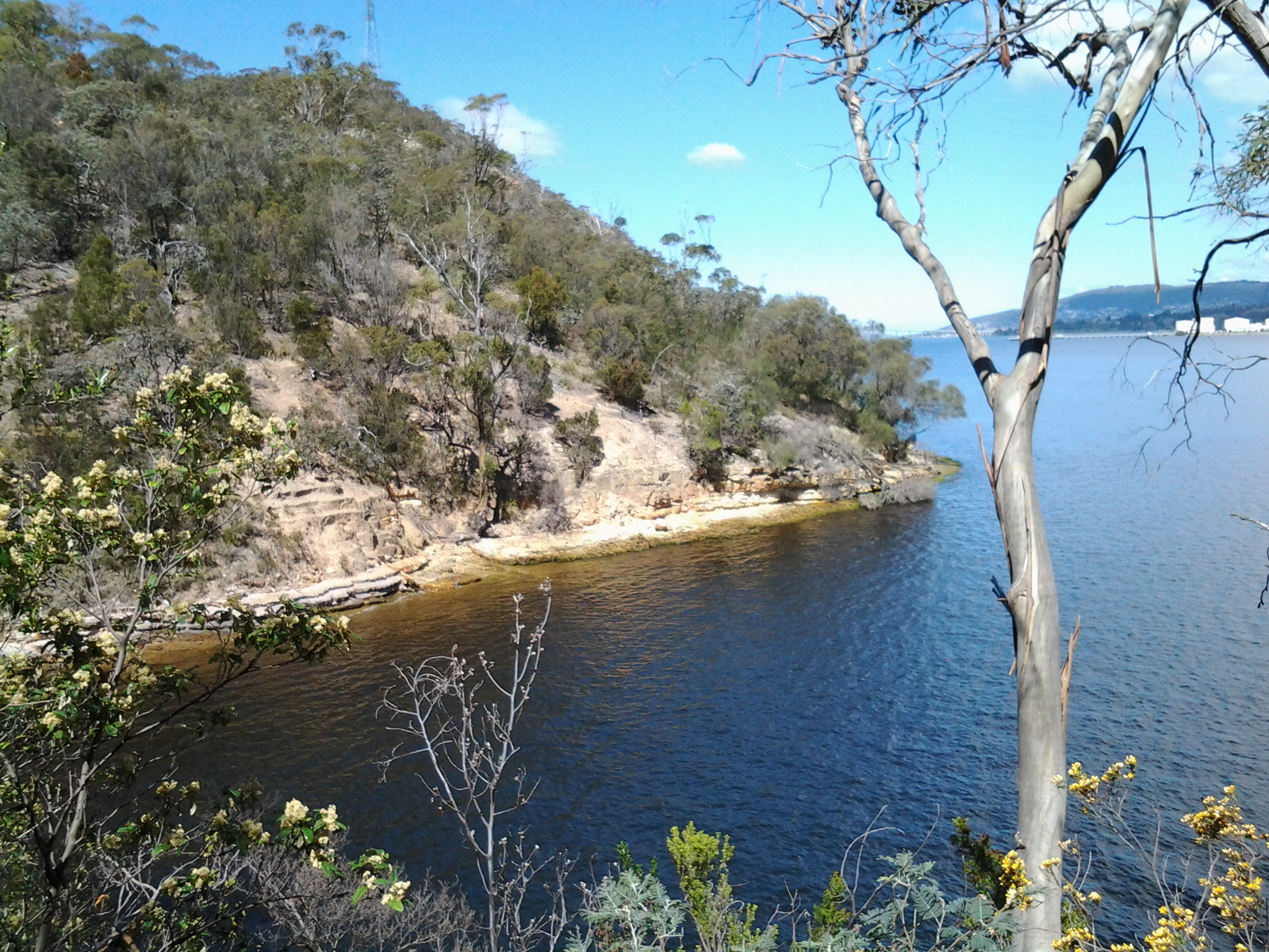
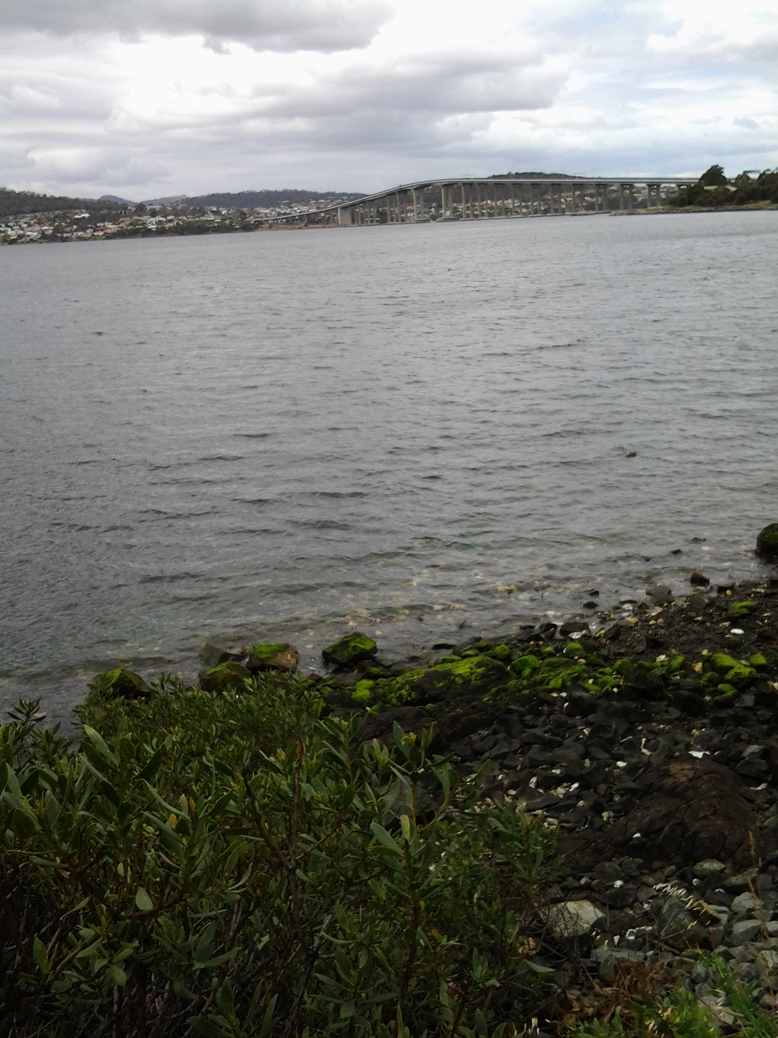
My guess is that I walked around 10-12 kms including getting to the start and then continuing on.  But how much of the 249km length of the Derwent River have I covered? About 7kms. A great start! A memorable day. A very positive experience.