Tag Archives: Russia

Lake Repulse Dam to Catagunya Dam – posting 12 of 13

From a distance, the grey concrete structures of Catagunya Dam made me think of Russia’s Stalinist architecture with its solid and functional masses.  Up close I found nothing pretty about the Catagunya Power Station; just a very large box at the end of a wide driveway.

20160210_092533.jpg

There was little to see looking down along its side.

20160210_093033.jpg

20160210_093031.jpg

20160210_093101

So I was delighted when two cars drove down the road towards the Station. The front door was opened and I was invited inside.

Getting perspective

I discovered the following graphic on the Australian Native T-Shirts website.

For readers who do not know Australia well, note Hobart is located at the southern end of the island state of Tasmania at the bottom of the country.  Slightly east of Hobart is where the Derwent River flows out into the sea.  The source of the Derwent River is located north west of Hobart roughly in the centre of Tasmania.

Map of Aust with Europe over it.jpg

A comparison map showing Australia and the United States of America is located at the site ‘On Walkabout’.

AustraliavUSA comparison map.jpg

Finally, I found a most amusing map with multiple overlays of Australia across the world.

Australia-over-the-world

Seeing such images certainly helps me to understand the scale of our nations.

A sparkling night over the Derwent River

Happy New Year to readers. There is something about New Year’s Eve which becomes a great distraction; the focus on midnight. We can never have a foot in both one year and the other like we can when we straddle the borders between states, countries or at Greenwich when you can stand in two time zones at the one moment.  Al we can do is surrender to the ticking and suddenly the next moment is on us.  As it was when 2014 came to an end last night in Australia.

I realise, as I write, that some parts of the world are yet to reach midnight 2014. Australia is one of a very few countries to be able to celebrate entry into 2015 very early on. If you are not there yet, then I can only suggest you enjoy the countdown.

Tasmania and Hobart at the very south of the island in particular, have long days at this time of year. There is still light in the sky at 9.30pm (I know I know I know that many countries in the northern hemisphere, which stretch closer to the poles, have even longer days mid-year. I did experience the White Nights of St Petersburg in northern Russia in 2013.)

Hobart City Council stages two separate firework celebrations on New Year’s Eve; one at 9.30pm when the sky is not perfectly light and the other at midnight when the night sky is black.

Last night, nature created an early spectacle. At 9pm brilliant pink-red tinged clouds marbled across the intense blue sky over Mount Wellington, with the sun well set behind. The strident pinks rippled like the marks left when waves recede over sandy beaches. The unruffled surface of the Derwent River, singed with red, made my heart sing. Sensational.  As the mountain side darkened, spot lights from the headlight of cars driving up and down the mountain, and the street and house lights across the hillside suburbs on the western shore, began to sparkle.

Slowly, the under clouds developed grey tones and the air began to soften beautifully.  Magnificent. Gradually the clouds softened to transparent greys and whites patterning the sky over the mountain. A splendid ¾ moon gleamed nearby.

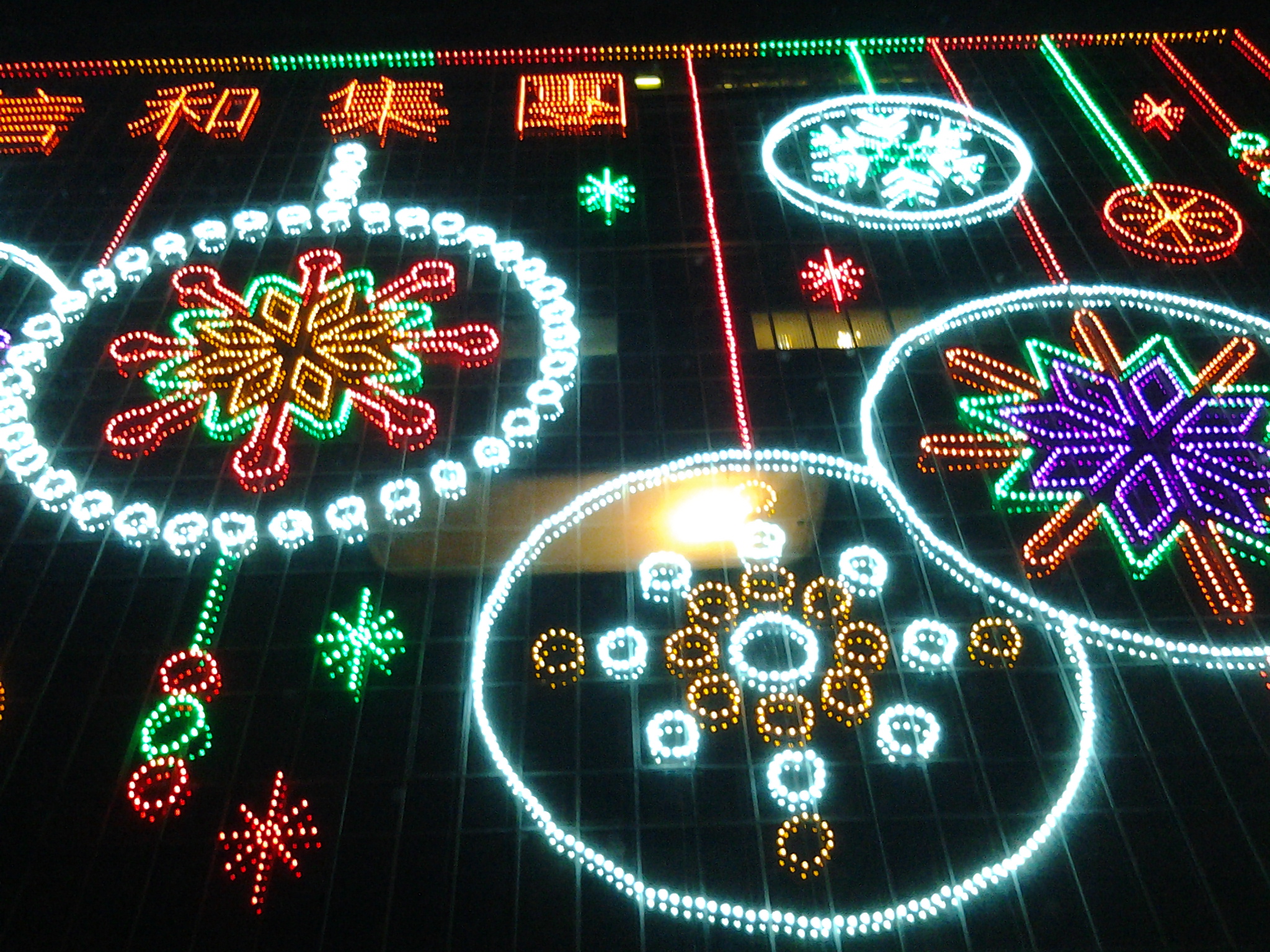
The first fireworks were well timed and blew their tops at 9.30pm as the last pink glow on grey clouds disappeared. 10 minutes of coloured light and light shapes flying through the air and the delayed booming bangs (reminding me light travels faster than sound) seemed to pass quickly. The grand finale was a crescendo of cascading lights falling from on high like a tree shaped waterfall. The light rained down. And the smoke drifted away down the Derwent River towards the mouth.

For a picture of one stage of the fireworks (although it seems mean by comparison with other stages that I saw) go to http://www.themercury.com.au/news/tasmania/thousands-of-tasmanians-party-in-the-new-year/story-fnj4f7k1-1227171557865.

Last year’s New Year’s Eve for me was dramatically different. I vividly recall 2013’s New Year’s Eve when I had a marvellous night along with thousands of others on the waterfront at Kowloon in Hong Kong.

20131228_183334

Then, after midnight, I had to walk many kilometres (along with everyone else like a swarm of insects packed across the six lane main road) back to my hotel because the train stations were so full that people couldn’t even walk into them, leave alone catch the trains.

Now we all have 12 months to consider where we might be and what we might do on New Year’s Eve at the end of this new year.  Best wishes.

People and their projects

This blog records my walk along the Derwent River, as my own special project. On my second walk, I met a woman who with a group of friends had started the project of walking every beach in the City of Clarence local government area – all 94 kilometres. When I met her, already 87 kilometres had been covered.

Today in the The Age newspaper journalist Lawrence Money introduced the story of “One woman’s epic bike trek to Timbuktu and beyond”. Kate Leeming, a Melbourne woman cycled on her own, from the west coast to the east coast of Africa over 10 months. In addition, I learnt previously she had cycled across Russia alone, and currently is planning to ride a ‘polar cycle’ across the Antarctic.

Kate’s cycling treks are really enormous personal projects, the like of which I could never consider. Nevertheless, it confirms me in the belief that we can all find our own projects, small or large, long or short and keep actively discovering the limits of ourselves and our environment, whether near or far from where we live.

Kangaroo Bluff Historic Reserve and Bellerive Fort

Near the end of my Stage 4 walk from Tranmere to Bellerive Bluff along the Derwent River, I saw a sign pointing to the Kangaroo Bluff Historic Reserve which I chose not to visit. However, my curiosity was aroused. So the next day, last Saturday, I made a special trip and walked to the Reserve to find out more.

20140927_091124

As I walked toward the entrance, I was puzzled. I could see a narrow road passing between two raised hills. On closer inspection when I discovered a massive deep and long ditch from the left to the right outside the stone edged wall of earth, clearly this site was the remains of a fortification.

20140927_091051

The site was a battery complex with underground tunnels and chambers for magazines, stores, the lamp room, a well and loading galleries. The public do not have access to the underground since these parts were bricked up in the 1920s: I would have been very interested to see the speaking tubes set into the walls used for communication purposes.

However there are many metres of well-preserved channels which can be walked in and around.

20140927_090522

20140927_090924

Signage provided useful information. I now understand that the idea of a protective Fort was first discussed in the 1830s as a means to protect the merchant ships travelling up the Derwent River, although I am unclear who might have attacked from the sea because Van Diemen’s Land (now named Tasmania) was very isolated from the rest of New Holland (now named Australia). However, it was not until difficulties were being felt between England and Russia in the 1870s that a renewed push for a Fort was made.

20140927_085957

By 1885 the defensive Fort was built – although I cannot imagine why anyone would think that Russia would believe it useful to send a war ship to the tiny colonial and penal colony in Hobart. It does not surprise me that the two canons were never used as war weapon.

20140927_090533