Tag Archives: Storm Bay

Brilliant bird’s eye view

Thankyou blog follower Ju.  Recently Ju connected me with a woman with a husband who has a Private Pilot’s Licence.  Once I made contact, Michelle and Dave were delighted to fly me in their four seater plane, a Cirrus SR20 which Michelle referred to as the BMW of the skies.

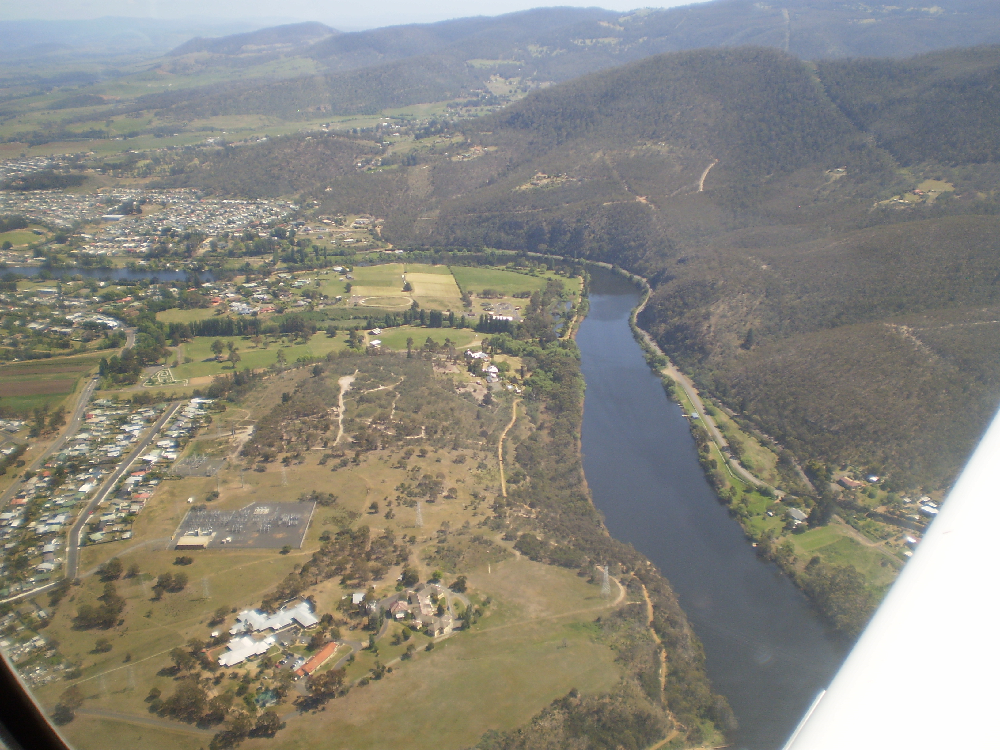
Today we flew.  Not a cloud in the sky.  Clean blue sky. Hardly a breeze.  The landscape rich and varied.  The Derwent River sparkled from start to finish.

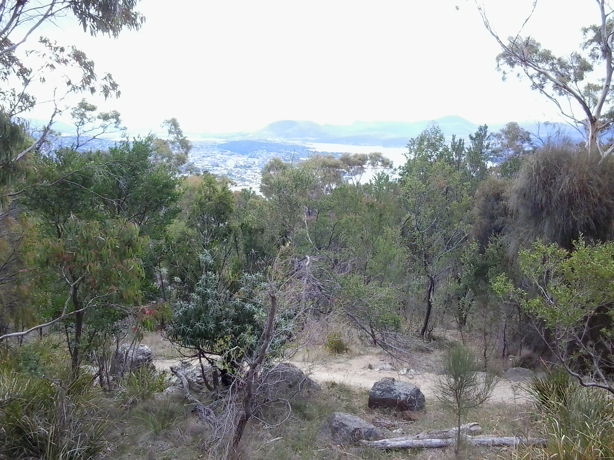
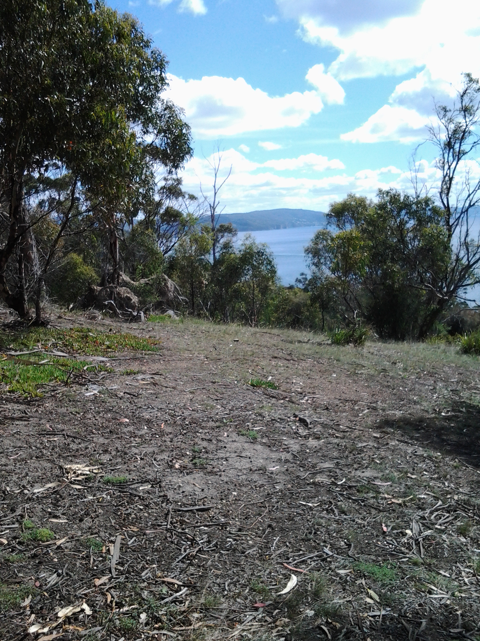
The experience was stunningly magnificent.  I love words but I find it difficult to express my excitement, my pleasure, and the sheer joy of the flight in the depth which I felt.  There below me was the river I have come to love and know a little more. There below me were the tracks, paths, roads and landscape over which I have walked – and I laughed occasionally remembering certain experiences during my walks. There below me were logging tracks, dam roads, and fading vehicular pathways.  And then we were flying over impenetrable sections which may not be walkable.

We left Hobart airport and flew to Storm Bay by rounding the Iron Pot, then we followed the river upstream to the source. Dave flew on until we reached the northern most point of Lake St Clair. The return journey was equally as beautiful and engaging. The light had changed presenting us with a ‘new’ landscape.

Of the hundreds of photos taken by Michelle, friend Chantale and myself, I include a tiny selection here.

OLYMPUS DIGITAL CAMERA

The photo above taken by Michelle caught me totally preoccupied by the view.

OLYMPUS DIGITAL CAMERA

MIchelle’s photo above shows the Derwent River snaking around the Claremont Golf course with Cadbury’s Chocolate Manufacturing buildings in white to the left.

OLYMPUS DIGITAL CAMERA

The photo above shows a straight section of the Derwent River before the township of New Norfolk on the upper left.

OLYMPUS DIGITAL CAMERA

The photo above shows the Derwent River circling part of Reid’s cherry orchards.

IMG_3864

Chantale’s photo of the Pumphouse Point accommodation projecting into Lake St Clair, also shows the dam across the Derwent Basin where the water enters St Clair Lagoon.  The source of the Derwent River starts to the right of the photo.

OLYMPUS DIGITAL CAMERA

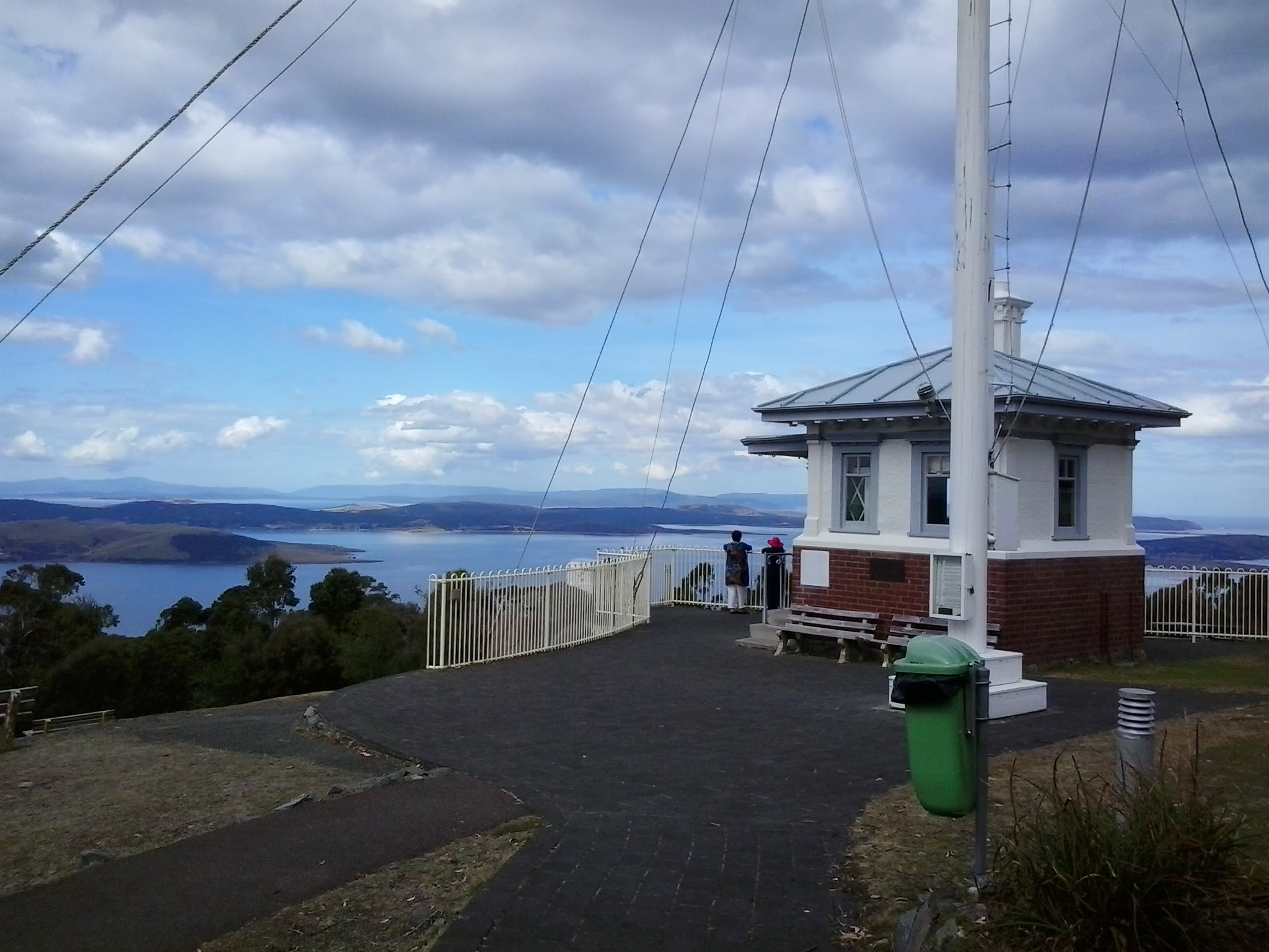
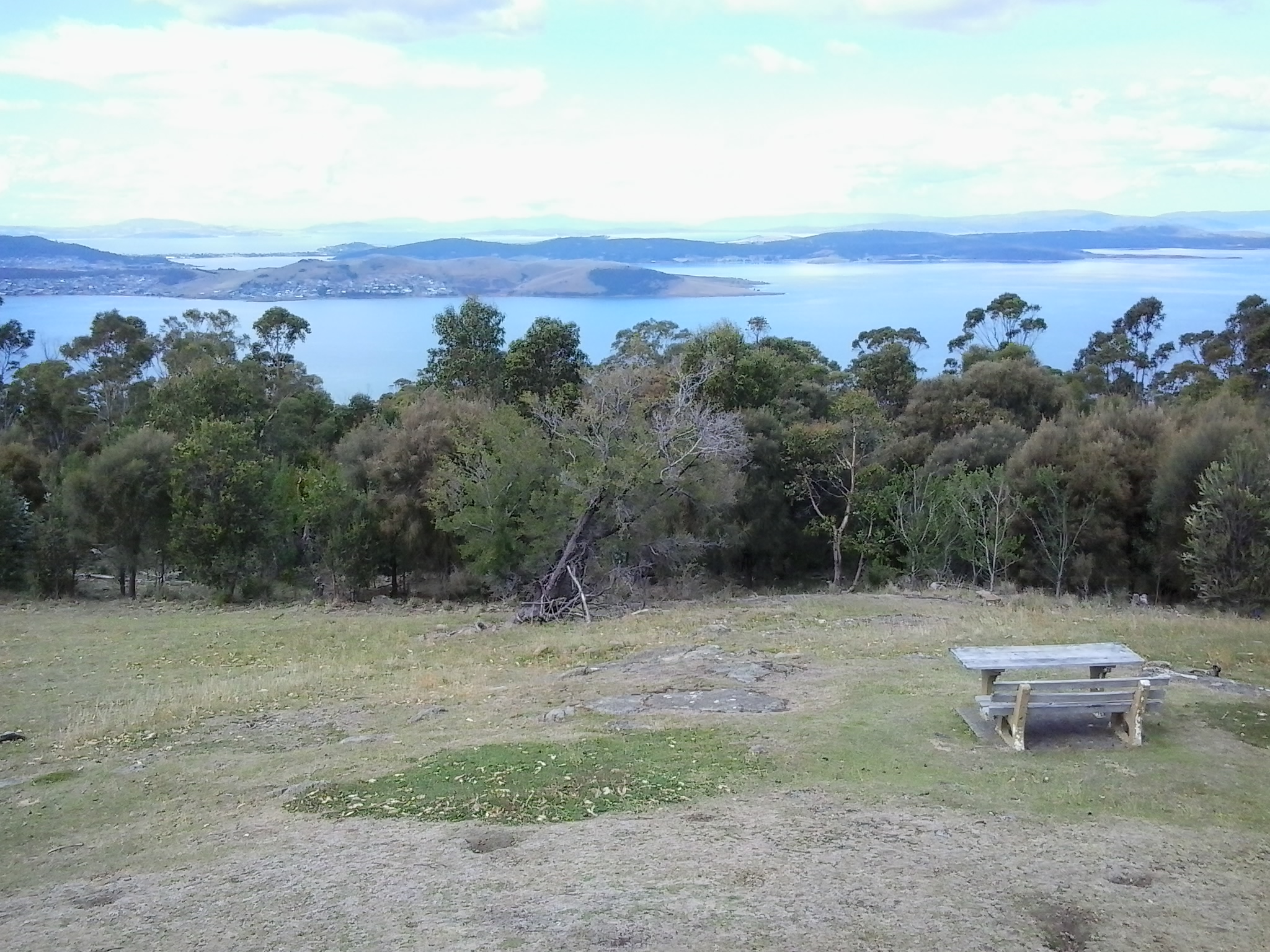
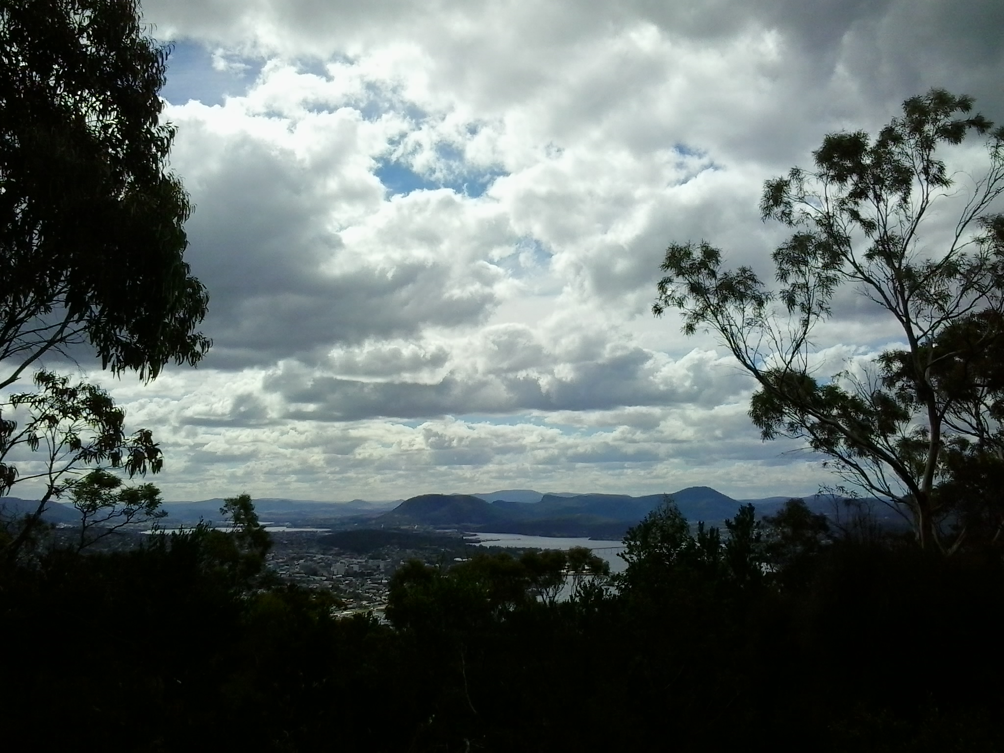
Michelle’s photo above shows part of sprawling Hobart set against the Derwent Harbour.

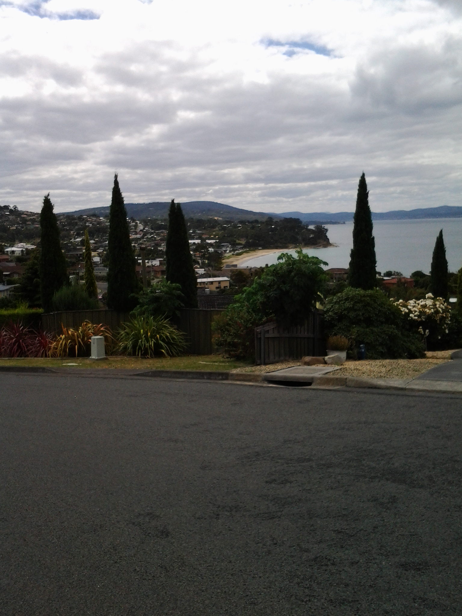
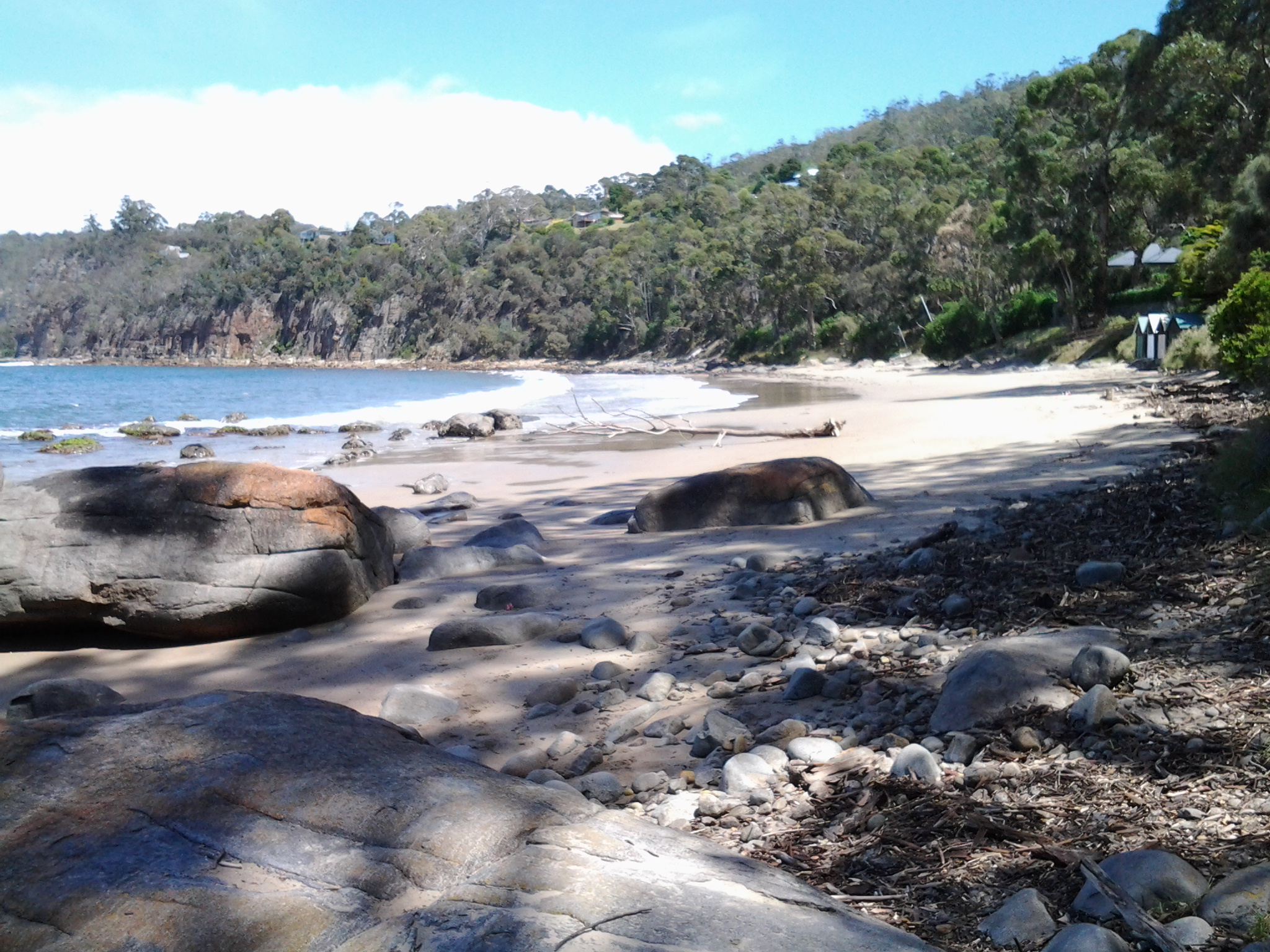
Those photos taken while flying over the river westwards of Gretna will be incorporated into the stories of my walks from Gretna onwards, in future posts.  From now on, you can expect both ground-based and aerial photos to enrich the stories.
I feel like the luckiest person in the world for the opportunity to travel in a smooth flying small plane, to see the Derwent River winding through the landscape in glorious blueness, and to be reminded Tasmania is a superb place. A truly wonderful and memorable day. Thankyou to all concerned.

The Derwent River at night

Tasmania’s bush, its coast and urban areas offer a photographer’s paradise at all times of day and night across the four seasons.

This Amazing Planet  is one of many blogs that show spectacular photographs of Tasmania’s flora, fauna and landscape. Go to Nightscape-Hobart for a stunning visual treat. Enjoy looking at part of the glorious Greater Hobart Area, at night, photographed from on top of Mount Wellington. Between the two sides of the city, the rich blue Derwent River passes on its way to Stormy Bay and then the sea. The brightly lit Tasman Bridge can be seen to join the two shore lines.

From the sea to the source; stories of a river on the other side of the globe

Two years ago, Helen Ivison published River Derwent: From Sea to Source (Amberley Publishing).

 Ivison River Derwent

 The promotional puff declares this book ‘brings to light tales and stories of fascinating events, landmarks and people. River Derwent: From Sea to Source is essential reading for anyone who knows this river well, and also for those who are visiting the River Derwent for the first time.’  But what is the author referring to?

Hers is the Derwent River in the Cumbrian region of England which flows from the mountainous Lakes District in two strands, one of which starts near Styhead Tarn. The two strands meet at Grains Gill, and continue in a north easterly direction as a single river towards an expanse known as Derwent Water. The river passes through this ‘lake’ then eases into a north westerly direction across country before flowing onwards through Bassenthwaite Lake. Finally, the English Derwent River turns westwards and empties into the Irish Sea.

By contrast Tasmania’s Derwent River flows generally in a south easterly direction from Lake St Clair, through steep narrow gorges, curving around farmlands, before passing between the two sides of the Greater Hobart Area into Storm Bay. The man-made lakes of Lake King William, Wayatinah Lagoon, Lake Catagunya, Lake Repulse, Cluny Lagoon and Meadowbank Lake all disrupt the progress of the River. These lakes have resulted from dam building as part of hydro-electricity generating projects over the past century.

Internet records of measurements may be dodgy

Since my last post, some readers found Google has revealed the length of the Derwent River.  It gives the number of 249km without any indication of where that number was found or how it was calculated. Immediately below this information box are two listings both giving alternative conflicting distances.

My measurement of 214kms was from an arbitrary line between Cape Direction and Pearsons Point to mark the mouth of the Derwent River, and I stopped at the point where the river starts from the southern end of the Lake St Clair Lagoon.

I have noticed that one source indicates the measurement ought to be taken from the point where Lake St Clair meets the Lake St Clair Lagoon.  I have found another source which seems to indicate the mouth might be where Storm Bay meets the sea.  Even if the length of the Lagoon and the width of Storm Bay were added to my 214km, the Google number would not be reached.  I have asked Google to identify its sources because I cannot believe their number can be accurate. Unfortunately, I have not received any feedback.

STOP PRESS – JUST DISCOVERED THE AUTHORITATIVE LENGTH IS 215KMS.  Read my new November 2015 post.

Mount Nelson Signal Station

Overlooking the centre of the city of Hobart and with a view sweeping across to the eastern shore of the Derwent River, Mount Nelson is host to a significant historical site, the Mount Nelson Signal Station.

2015-03-09 14.49.17

Wikipedia provides the information that originally this rise in the landscape was named ‘Nelson’s Hill’ after botanist David Nelson, who sailed on the ship ‘Bounty’ which visited Van Diemens Land on its way to Tahiti (the ship that was involved in the infamous Mutiny on the Bounty). In geological form, Mount Nelson amounts to not much more than a low foothill, however its name gives an indication that something grand awaits you if you venture to the top.

And such a visit is easy in a vehicle, or if you want to take an uphill walk from Hobart’s suburb of Sandy Bay.  In addition, the Mount Nelson via Dynnyrne and Tolmans Hill Metro bus service can deliver you to your destination.  If you like walking, you might choose to catch a bus to the top and then follow any one of a number of clearly marked tracks downhill. Yesterday I made a visit thanks to blog follower Je’s transport, accompanied by another follower Be who is visiting from Cairns.

From different vantage points, the spectacle of the Derwent River spread out below, made us breathless with delight. When I am walking at ground level along the Derwent River, the grand panoramas extending into the distance are denied me.  But yesterday it was exciting to see the bays and hills further afield.

2015-03-09 14.50.30

The photo above looks toward the mouth of the Derwent River on the eastern shore. South Arm peninsula can be seen extending along the water.  As  I stood on Mount Nelson I could clearly identify the Iron Pot, Fort Direction Hill, South Arm Beach, Opossum Bay and its beach, and  Gellibrand Point all of which I walked on during Stage 1 and 2 of my walk along the Derwent River.

2015-03-09 14.50.16

The photo above shows the eastern shore of the Derwent River with Gellibrand Point to the right on the northern tip of the South Arm peninsula. Then the great gaping space of Ralph’s Bay appeared straight ahead. To the left of the image, Trywork Point is in view; this was the starting point for Stage 3 of my walk (after I had walked there from the suburb of Tranmere).

2015-03-09 14.50.09

The photo above shows Ralphs Bay to the right, Trywork Point and then the suburb of Tranmere to the left – on the eastern shore of the Derwent River.

2015-03-09 14.49.55

The photo above shows the eastern shore from Tranmere on the right, through the suburbs of Howrah to Bellerive on the left – the River edges which I walked during Stages 4 and 5.

Across the parkland at the Mount Nelson Signal Station, native Wrens flitted around feeling safe as they hunted for insect meals on the ground.

I enjoyed looking at information panels on the site and learning more about how the place operated.  In addition, one panel showed the location of walking tracks.

2015-03-09 14.53.12

So … what is the history? Not long after Hobart was settled in the early 1800s, locals needed speedy and efficient communication between the convict settlement at Port Arthur and Hobart.  In addition, Hobart residents wanted foreknowledge of sailing ships approaching from the ocean through Storm Bay and on their way to the Derwent River in case any provided a threat to trade or security. To gather this information, in 1811 the Mount Nelson Signal Station was established and designed to use semaphore.  The method of communication was flags waving across the hills.  Details about the semaphore flag signalling system can be read at http://www.anbg.gov.au/flags/semaphore.html.  The site http://en.wikipedia.org/wiki/Semaphore_line provides further information. At the Mount Nelson Signal Station, flags were run up a pole – this seems a very cumbersome process compared to a person waving flags. I hope that someday the signal station will offer a demonstration to the public so I can understand the process.  Give me a re-enactment please.

This semaphore communication service continued in use until a more reliable system was available (what happened at the Signal Station on windy days, in wet weather and when clouds obscured the view?).   It was not until 1880 that a telephone line connected Hobart and Mount Nelson.

Walking around the area is free of charge.  Some pathways are provided. The site has various public amenities including picnic tables, public toilets, carpark, barbecues and a restaurant.

2015-03-09 14.50.39

For further information about eating in the heritage building pictured above, go to http://www.signalstation.com.au.  I recommend that you phone in advance if you are depending on eating there. Yesterday, despite permanent signs indicating the Brasserie was open, another sign on the building indicated it was closed.

During my visit, clouds loomed powerfully over the city and river. The day light was so bright and strong that when I turned northwards and photographed the land and riverscapes, the sky glowed white.  So I clicked a few images pointed at the sky and this silhouetted the landscape.  Using my simple mobile phone as camera, I was never able to control the light of the images.

2015-03-09 14.55.09 2015-03-09 14.55.16 2015-03-09 14.51.33 2015-03-09 14.51.23

Although these looked like rain clouds, it did not rain.  These large puffs were just passing through.

Finally I reached the mouth of the Derwent River on the western shore at Pearsons Point

The goal of walking along the western shore of the Derwent River was to reach the mouth and during Stage 13 I reached this destination marked by Pearsons Point.

Before then at 10.44am I walked past a turn off: Mt Louis Road. There was a lump up in the sky on my right.  Maybe another time it might be pleasant to see what is up there and to look at the view – which is probably a spectacular 360 degree outlook along the Derwent River, the D’entrecasteaux Channel and Bruny Island.

As I panted up the final hill, I heard the thwack of balls and realised the fencing I could see in the distance amounted to a tennis court.  A tennis court!  Ye gods! Out here in the bush and miles from anywhere?  Yes it was.  Two women were slamming the balls up and down the court.  Their two cars were the only vehicles in sight.

10.52am: I reached the Pearsons Point Reserve and was feeling rather chuffed.

20150224_105032

I wandered around the site which included a disused gun emplacement and a couple of large historic cannons.  Guess Pearsons Point would have been the first line of defence against any Russian threat (which seemed to be the main thought through the 19th century).

20150224_105306 20150224_105429

Note: the bump behind the gun emplacement and tennis court is Mt Louis. A large white edifice on the end of the Point (on the other side of the cannon) appeared to be a marine navigation beacon.

In front of me to the right hand side of the Point, the D’entrecasteaux Channel separated the mainland of Tasmania from Bruny Island (famous for its fresh produce such as cheeses, smoked fish and meats, berries, premium wines, and local oysters).

20150224_105437 20150224_105647

I was very surprised how close Bruny Island (Dennes Point) was to this part of Tasmania’s mainland.  So close.  So accessible.  And its green hills and the white sandy Jetty Beach were most attractive.

On the other side of Pearsons Point to my left, the Derwent River flowed out to Storm Bay and then onto the ocean. I could see the Iron Pot and Cape Direction at the southern tip of the South Arm peninsula on the eastern shore of the River.

I found a pleasant picnic table and at 11am ate half my lunch under a small cluster of gum trees hoping no branches would be shed on my head.  Feeling on top of the world. The sun was out and the tiniest of breezes moved through the area.  Past the trees I could see motoring boats leaving white streams behind them as they sliced through the River. I looked back northwards to the Alum Cliffs between Taroona and Kingston.

20150224_112527

With a little sadness I left Pearsons Point at 11.25am.

By 12.40pm I was passing the Hidden Cove turnoff, at 1.05pm I reached the Fossil Cove Drive junction, at 1.25pm I walked across the intersection with Treatment Plant Road, and at 1.30 I stopped for a moment at Suncoast Drive.  I looked at the one bus stop (there wasn’t a pair one either side of the road) and it did not have a timetable attached to the post, so I continued walking to Wells Parade.  I had been told this was a long road, and now I know it is.

20150224_133752

I stopped and waited for a bus which didn’t come (the first in my entire travels) and left and walked up and down and up and downhill until eventually I was back parallel to the Blackmans Bay Beach.  I sat for a while at the beach soaking in the atmosphere, smelling the salt, and relishing the fact my feet were having a rest.  When the time came (according to my bus timetable), I walked to the bus stop where I had alighted hours earlier in the morning, and before long Metro bus number 85 arrived.  After passing via the Suncoast Drive bus stop that I had looked at earlier in the afternoon on arrival back in Blackmans Bay, Maranoa Heights, other suburbs, and Kingston, I was back in Hobart city by 4pm feeling elated.  Stage 13 was over.

Geological and Social History of our Alum Cliffs

Patricia Roberts-Thompson (http://taroona.tas.au/assets/document/1354363720-a_walk_along_alum_cliffs.pdf) indicates that the first recorded reference to the Alum Cliffs was in 1847.  She explains that these rocks, Permian mudstone (250 million years old, contain iron pyrites and, as the rock weathers, the pyrite oxidises and produces sulphuric acid which reacts with the limey clay to produce alum. Roberts-Thompson could find no evidence that the alum has been extracted from our cliffs for commercial purposes.

Simon Stephen’s research (http://taroona.tas.au/assets/document/1352547986-geology_reduced.pdf) is in sync with that of Patricia Roberts-Thompson  when he says the mudstone on the Alum Cliffs contains much sulphur so that when struck a strong smell is emitted. “Much of the sulphur manifests itself as a white encrustation on thee sheltered areas of the cliffs. It has a distinct bitter taste…”  (Trust me – I won’t be taking a bite or licking it). Stephen’s article is exceptionally interesting not the least because it pin points a geological fault line which is near Crayfish Point (where I have already walked) and which extends out through the end of Hinsby Beach and then under the water along the Alum Cliffs.  I don’t know if any seismological activity has occurred in my life time there nor whether any is expected. I’d rather nothing happened during my forthcoming Stage 12 walk along the Alum Cliffs.

The Kingborough Council distributes a brochure with the following information: “The route followed by today’s Alum Cliffs Track has long been a coastal path used by local people. In 1988 it was formally developed as part of Australia’s Bicentennial celebrations. In more recent years, Council has upgraded the southern section of the track, which climbs from Tyndall Beach through coastal blue gum forest with tall silver banksias. The track then winds up through silver peppermint bushland, dips into a glorious fern filled gully, before rising again onto headlands for commanding views over Storm Bay and the Derwent Estuary. A new start to the track without steps has now been constructed above Tyndall Beach to make the track accessible to more users. The Alum Cliffs are so named because alum – a compound used in dyeing, tanning and medicinal products – is found in the cliffs.”

It is a shame that all instructions to reach and walk the Alum Cliffs use Kingston Beach in the south as the base to walk north and then return. Websites provide information about multiple entrances along the route at Tyndall Rd, Harpers Rd, Taronga Rd.  Apparently a Metro bus stop is located 100m south of the intersection of Taronga Rd and Channel Highway. I wonder how many people have walked the Alum Cliffs Track from the northern end and, if not, like me would like to read advice about how to tackle the cliffs departing from Hinsby Beach.

20150119_131327

It may be that, on Stage 12, I will start out at the end of the Hinsby Beach and then be forced to retrace my steps, return to the Channel Highway and walk up the winding fairly narrow Highway with no pedestrian walkway until I reach the Brickfields Track. From http://www.greaterhobarttrails.com.au/track/brickfields-track I understand that “the Brickfields Track links between Taronga Rd (adjacent to the Channel Highway) in Bonnet Hill and links to the Alum Cliffs Track. The route of the Brickfields Track takes you through the historic remains of the brick-making area; part of the nearby and short lived 1840’s convict probation station. The track is a mix of narrow bush track and timber boardwalk with some steps along the route.”

Around the corner from the mouth of the Derwent River, at Clifton Beach

Yesterday, the temperature at my home was in the high 30 degrees but today the temperature was much more pleasant and only rose to a little over the mid 20s. In the spirit of getting back out into the environment and not worrying about heat exhaustion, this afternoon Je and I headed off to have a look at Clifton Beach. This is not a place easily accessible by public transport unless you have time to take a long walk of many kilometres from a distant bus stop. So this Beach was accessed today by starting with a private car trip.

Neither of us had visited Clifton Beach or the adjacent Clifton Beach Conservation Area nature reserve for many years yet it’s a stunningly beautiful location only 25km from the centre of Hobart. The sky was cloudless, and the onshore breeze kept us comfortably relaxed.

This beachside suburb to the north of the South Arm peninsula and therefore north of the mouth of the Derwent River on the eastern shore, is part of the City of Clarence in which I live, and part of the Greater Hobart Area.

Clifton Beach is a 2.1km long wide sandy beach backed by deep revegetated 20 metre high sandy dunes. The beach is bordered by 54m high Cape Deslacs in the east and 50m high rocky cliffs in the west that run south for 3.5 km rising to 100m high at Cape Contrariety. At the southern end of the beach, a Surf Club is central to the protection of swimmers. However out on the waves, and typically clad in black wet suits, were sun-bleached surfers. Have a look at http://www.surf-forecast.com/breaks/Clifton-Beach which has a changing selection of photographs showcasing this amazing beach – plus you can check out the forecast if you want to go for a surf. One of the photos looks towards the southern end, another looks across Storm Bay to the Tasman Peninsula, and the other is a huge wave the like of which we did not see today.

The photo on http://en.wikipedia.org/wiki/Clifton_Beach,_Tasmania shows the cliffs at the northern end marking Cape Deslacs. When we followed a track out from a carpark, we found ourselves about half way along the long beach so we turned north and walked to the cliffs in the photo, passing a few happy walkers and joggers.  A multitude of empty shells and dying/dead jellyfish lined the high tide mark. Dominican and Silver Gulls hovered. The crumbly sandstone strata in the cliffs were majestic. The rocks at the water edge were covered in baby black mussels. Under the waves crashing onto the rocks were thick unforgiving ribbons of kelp – the sort that could strangle and drown you if you were foolish enough to swim here without care.

Our view across the white capped waters of Storm Bay included a glimpse of Bruny Island to the south west on our right, and the western side of the Tasman Peninsula on our left.

We paddled in the breaking waves of cold water then trailed wet trousers across the hot sand.  We longed to swim, but this is a very dangerous beach for undertows, powerful currents/rips and back surges, and unexpected changing sand bottom levels. People have died here from time to time after being seduced by the jade coloured waters, the clarity and cleanness of the water, and the seeming safety of it all.  But the message ‘to swim between the flags’ indicating you should not swim unless there are life guards present and when they have put up flags indicating the safest stretch to swim between, needs to be adhered to at Clifton Beach.  Today Je and I could see some of the turmoil beneath the waves, and the contrary action of waters moving in and out seemingly simultaneously.  The clear glassiness of the water was so very enticing and, when licking my lips I tasted salt, I had a difficult time resisting going into the water.  But the sand was soft and warm so a great lingering stroll was the wonderful substitute.