Tag Archives: Cluny Lagoon

Lake Repulse Dam and the wooden bridge

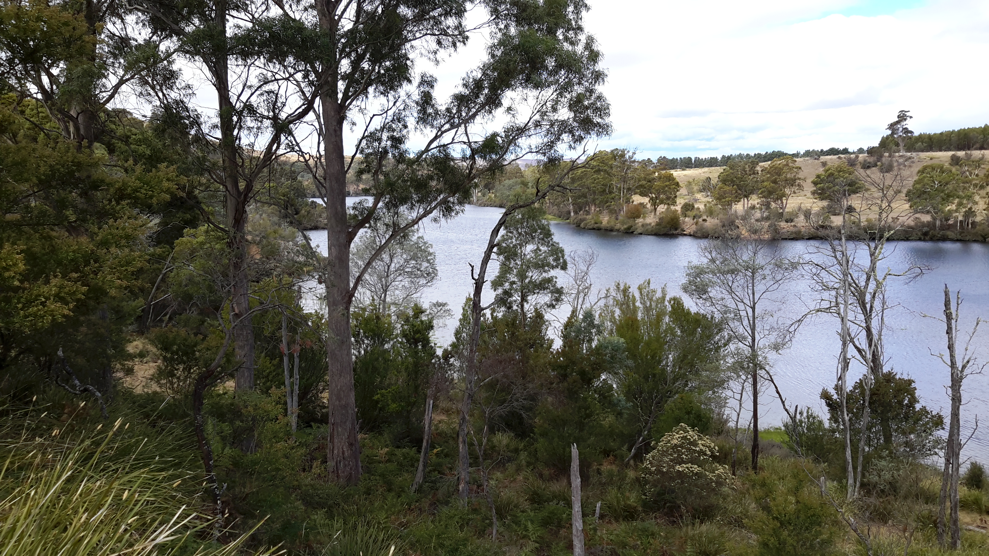
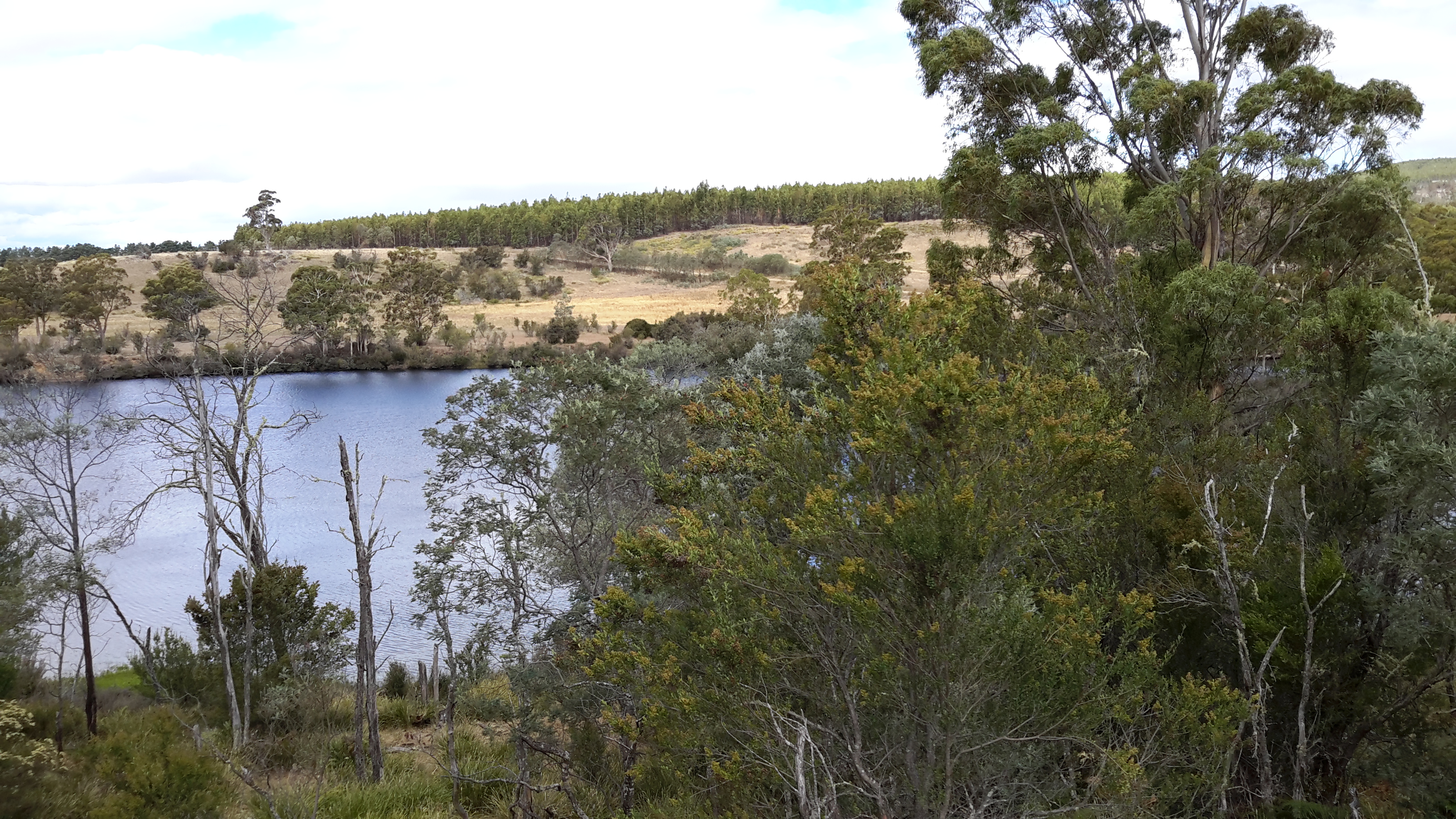
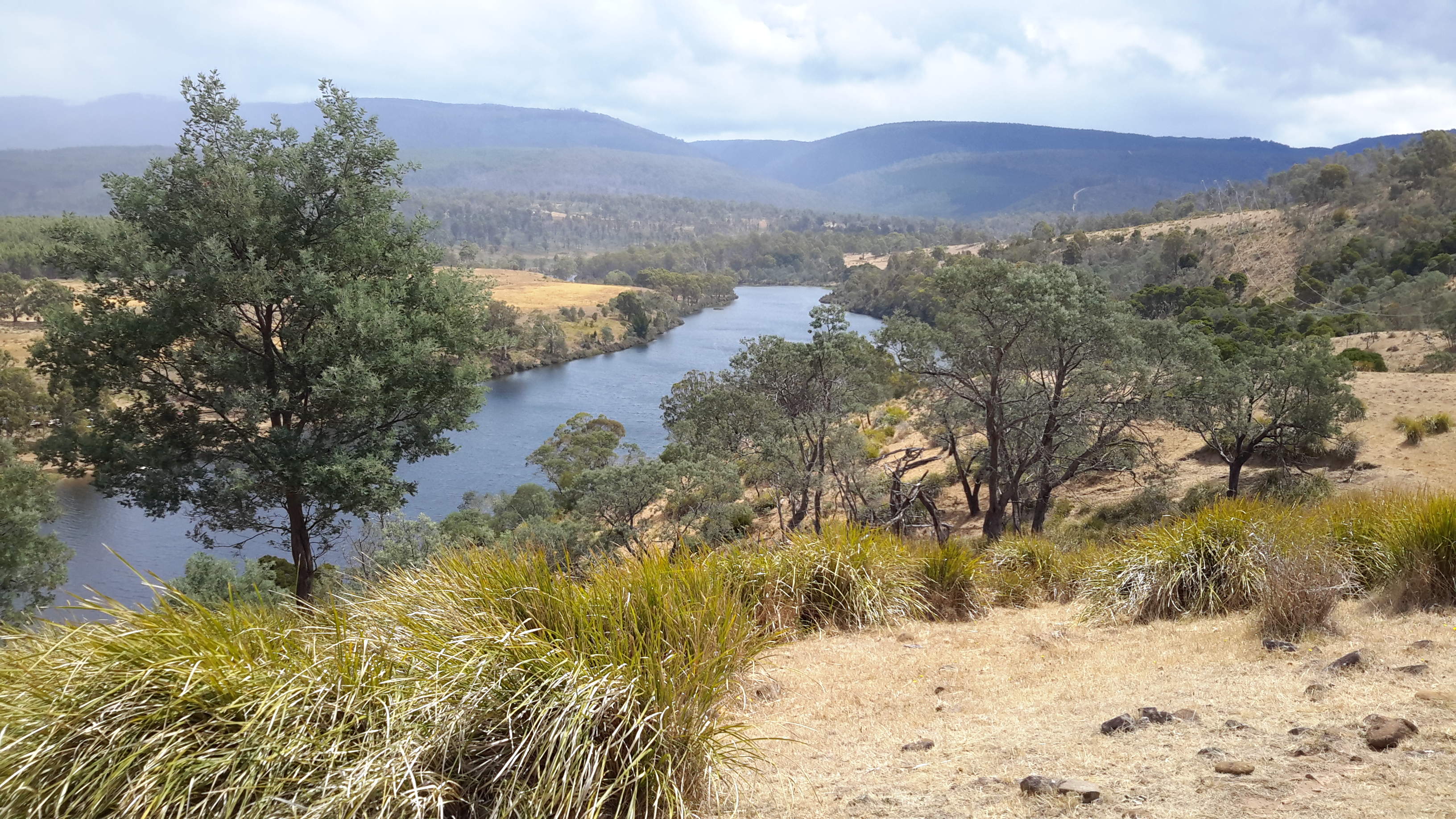
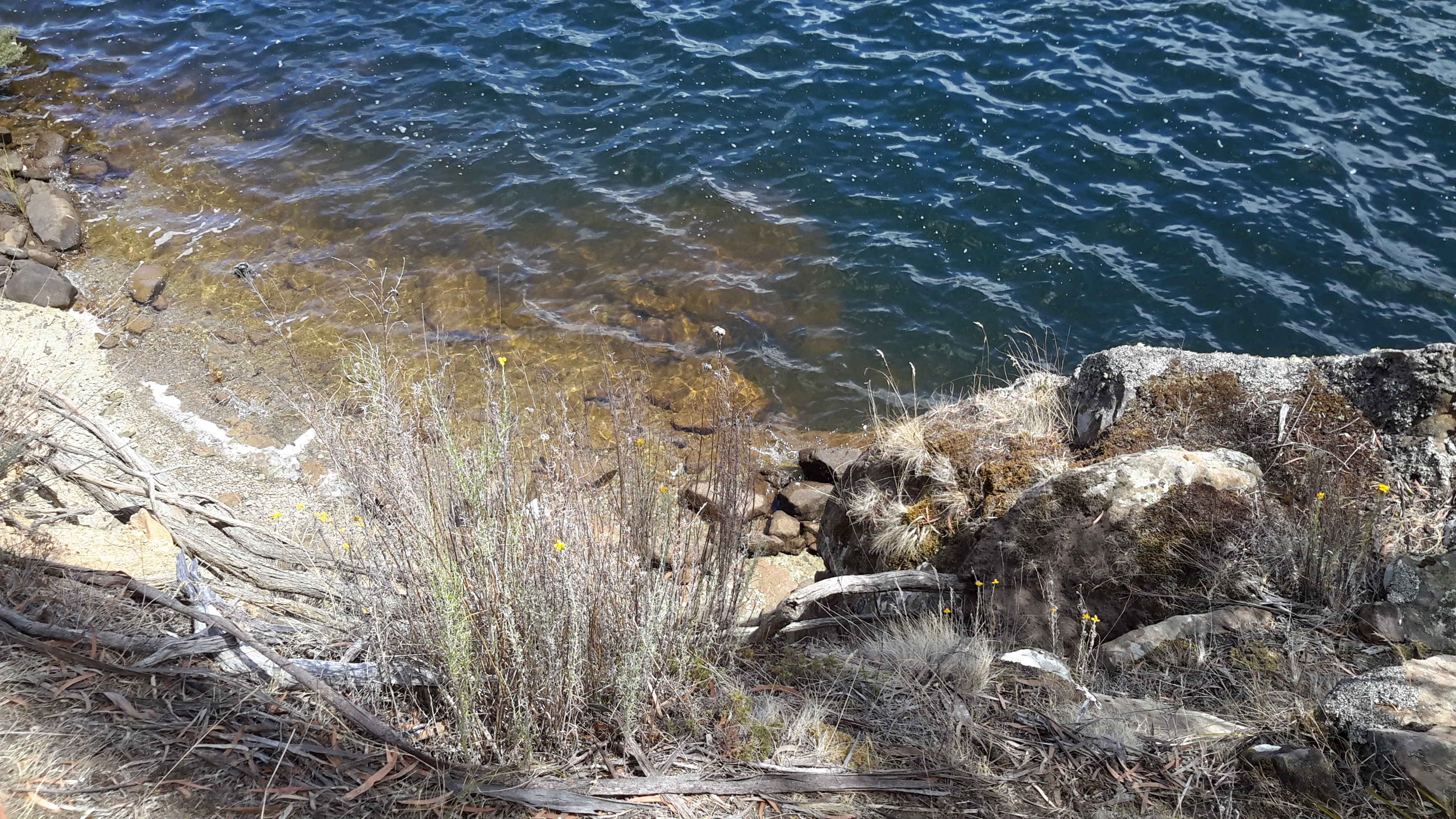
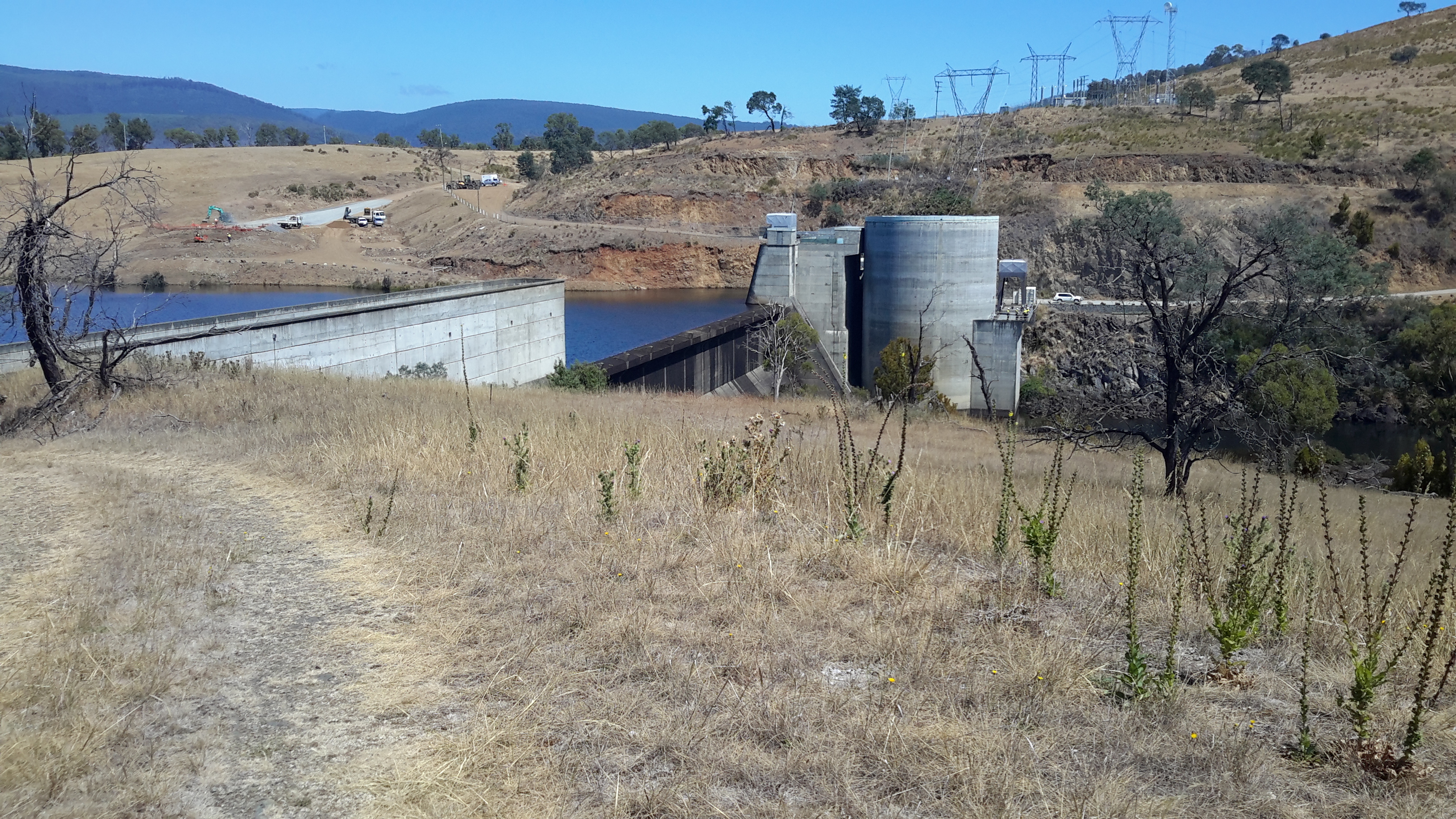
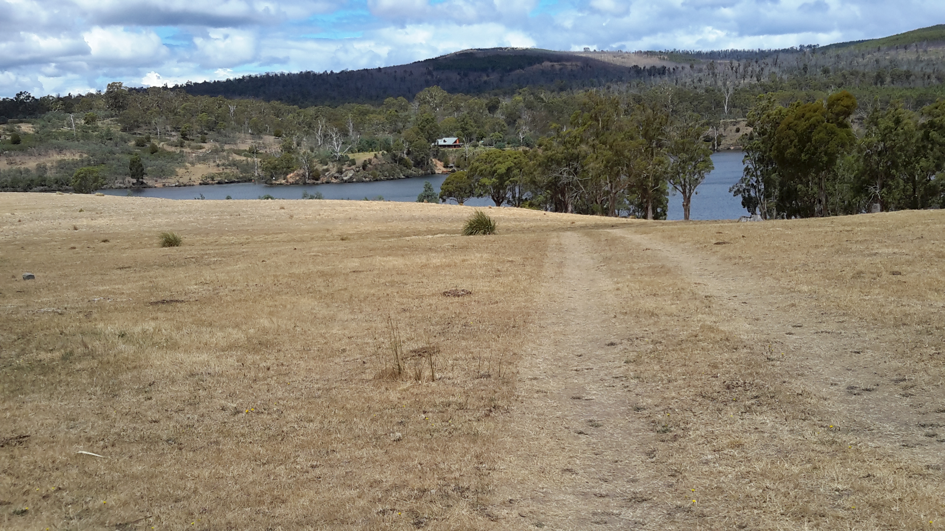
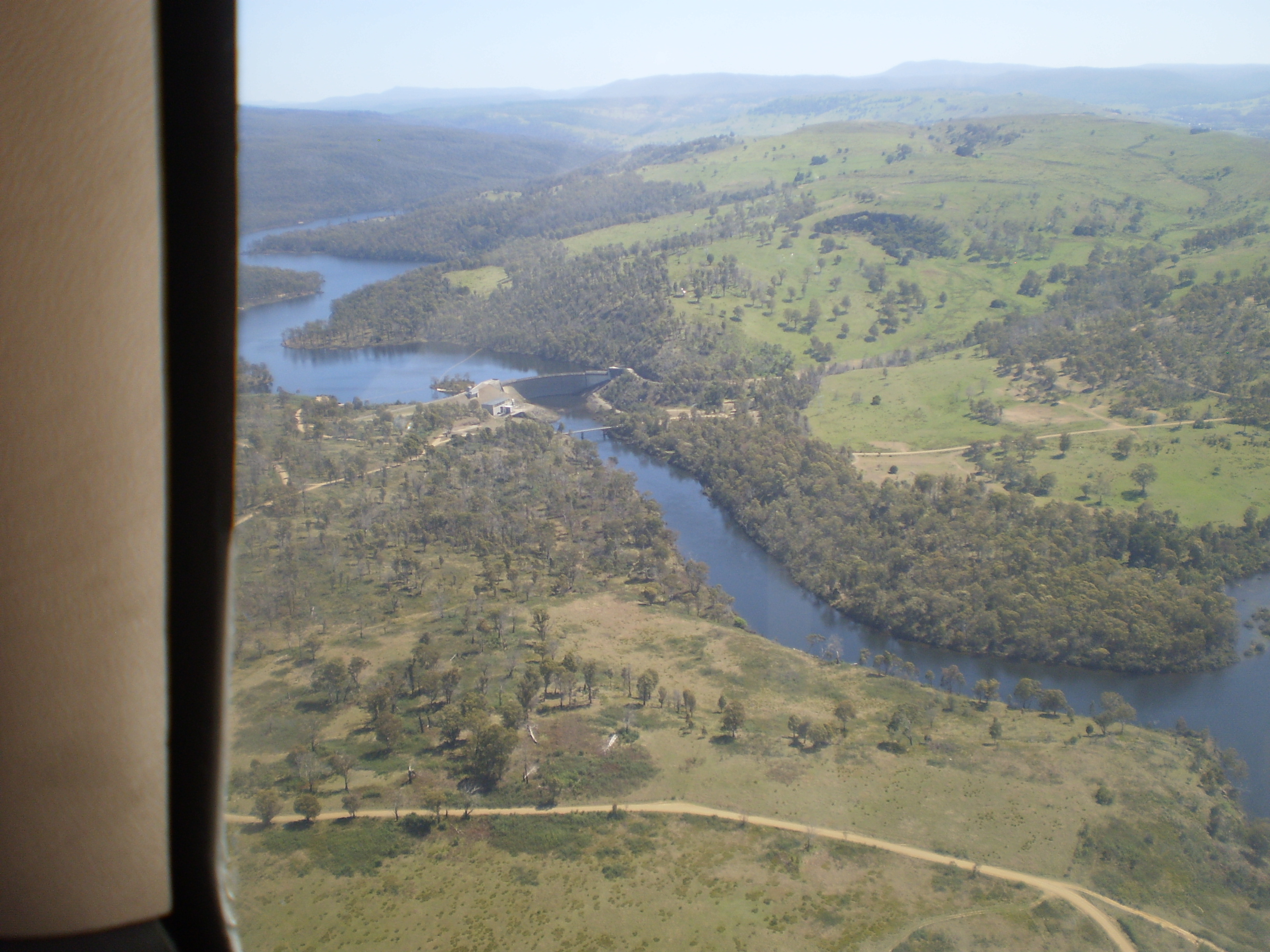
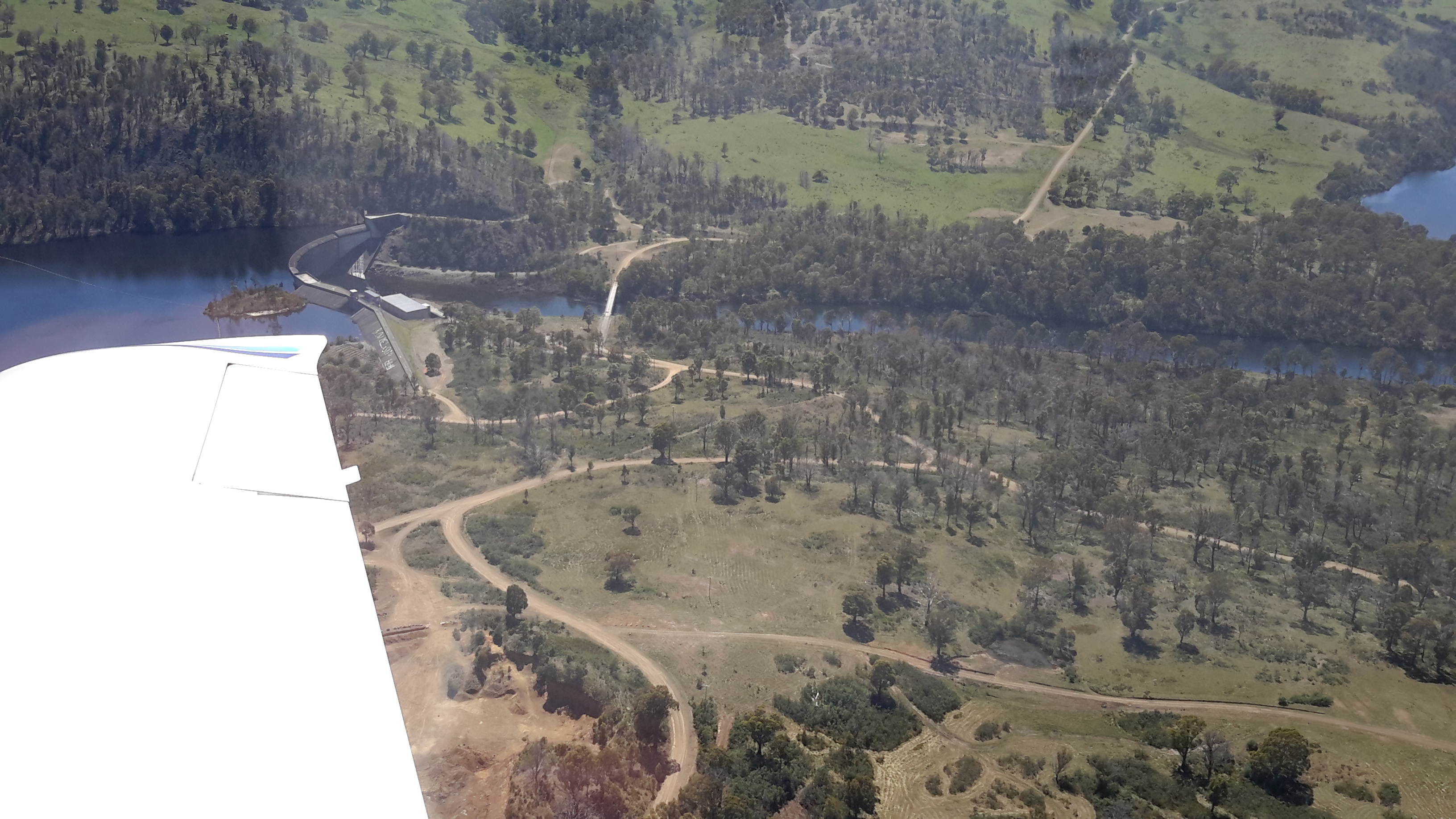
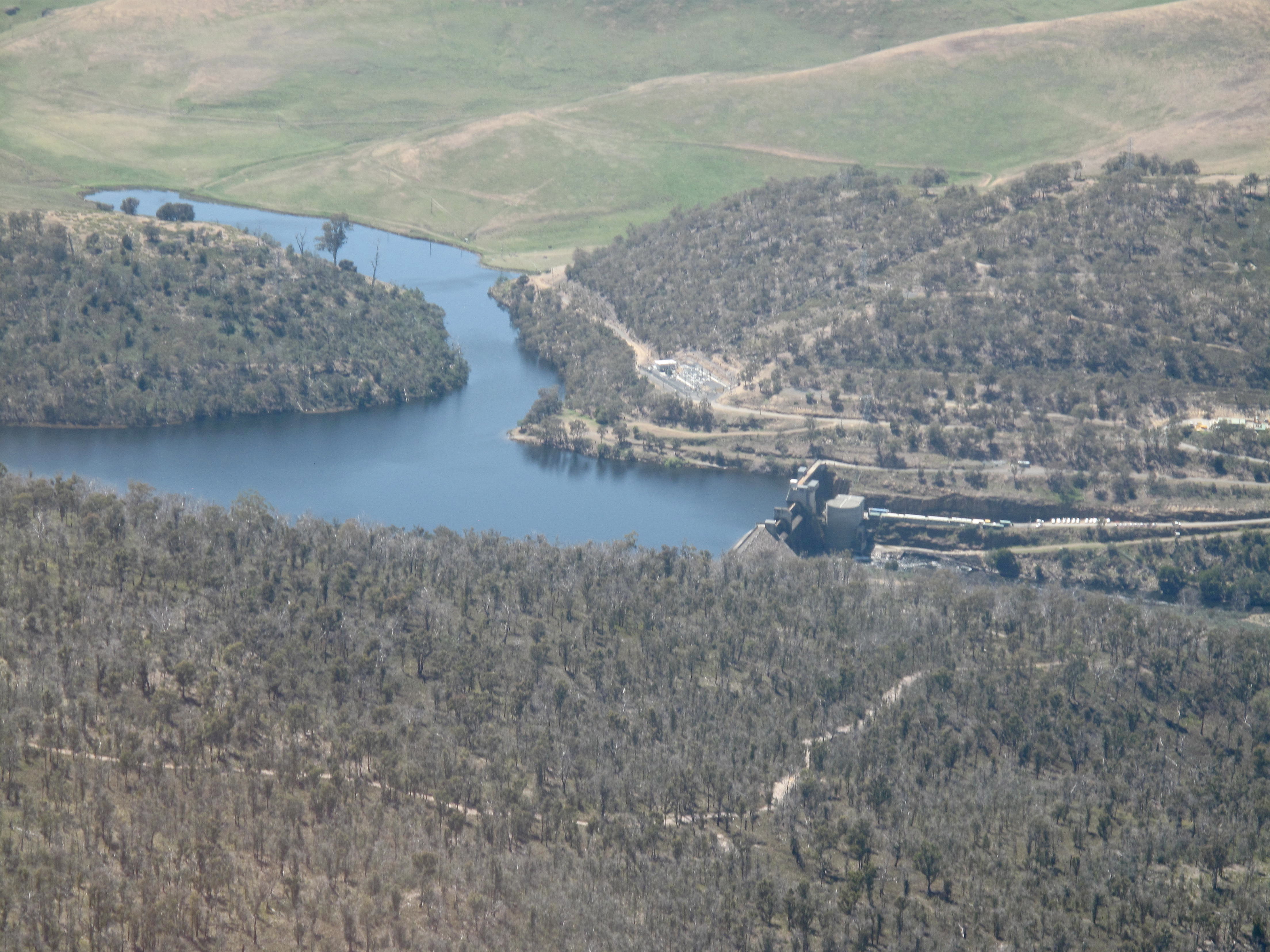
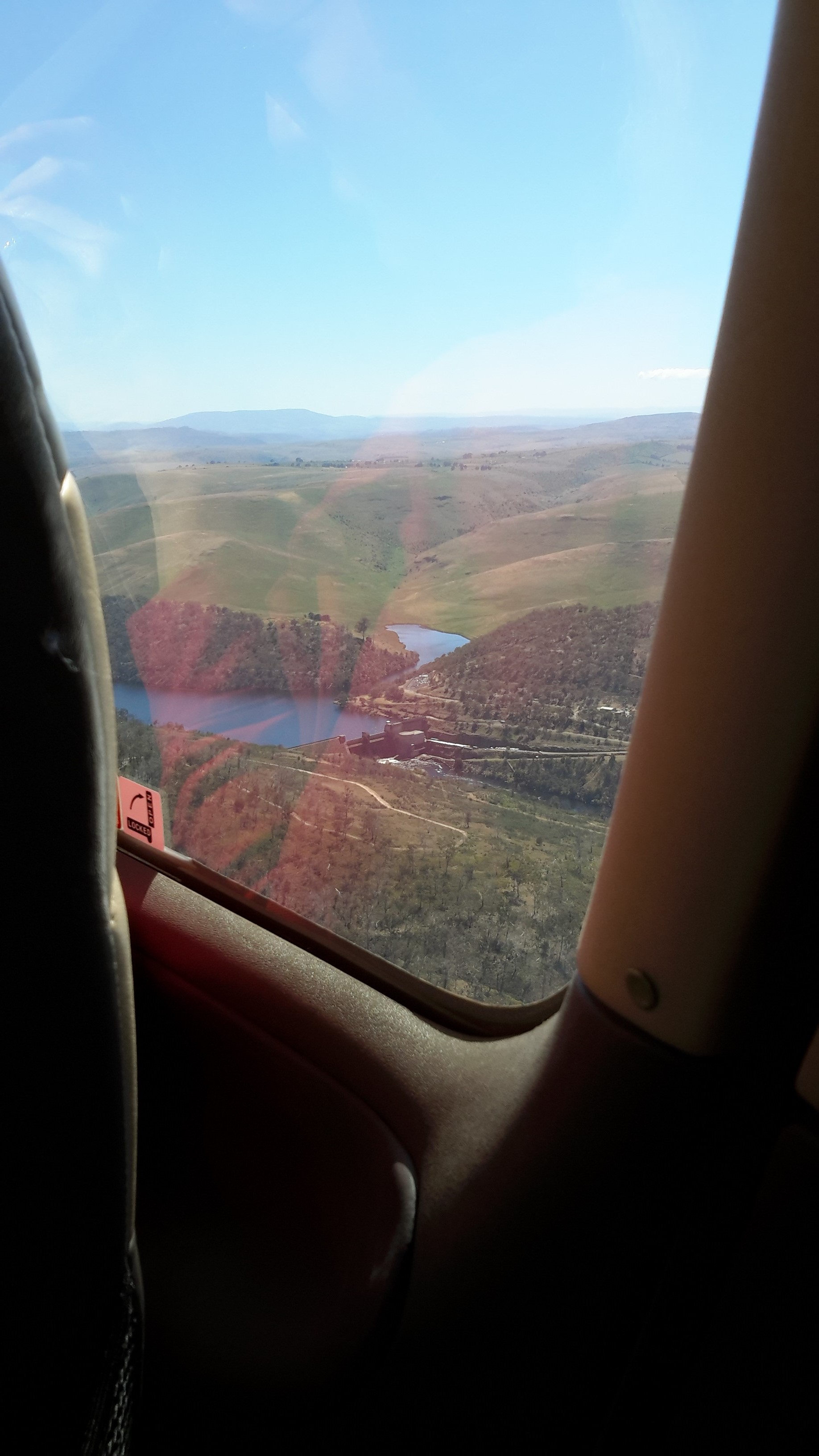
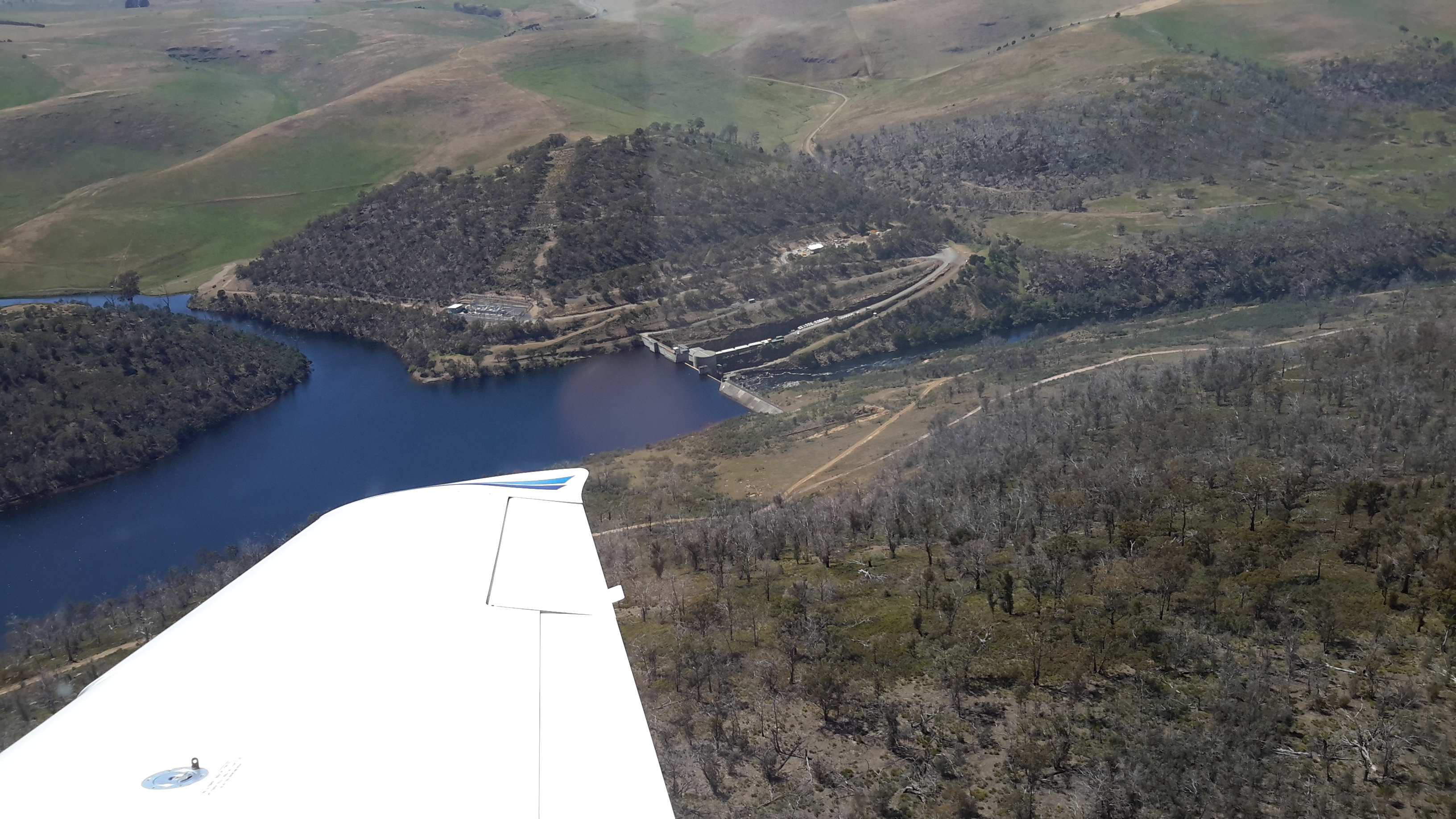
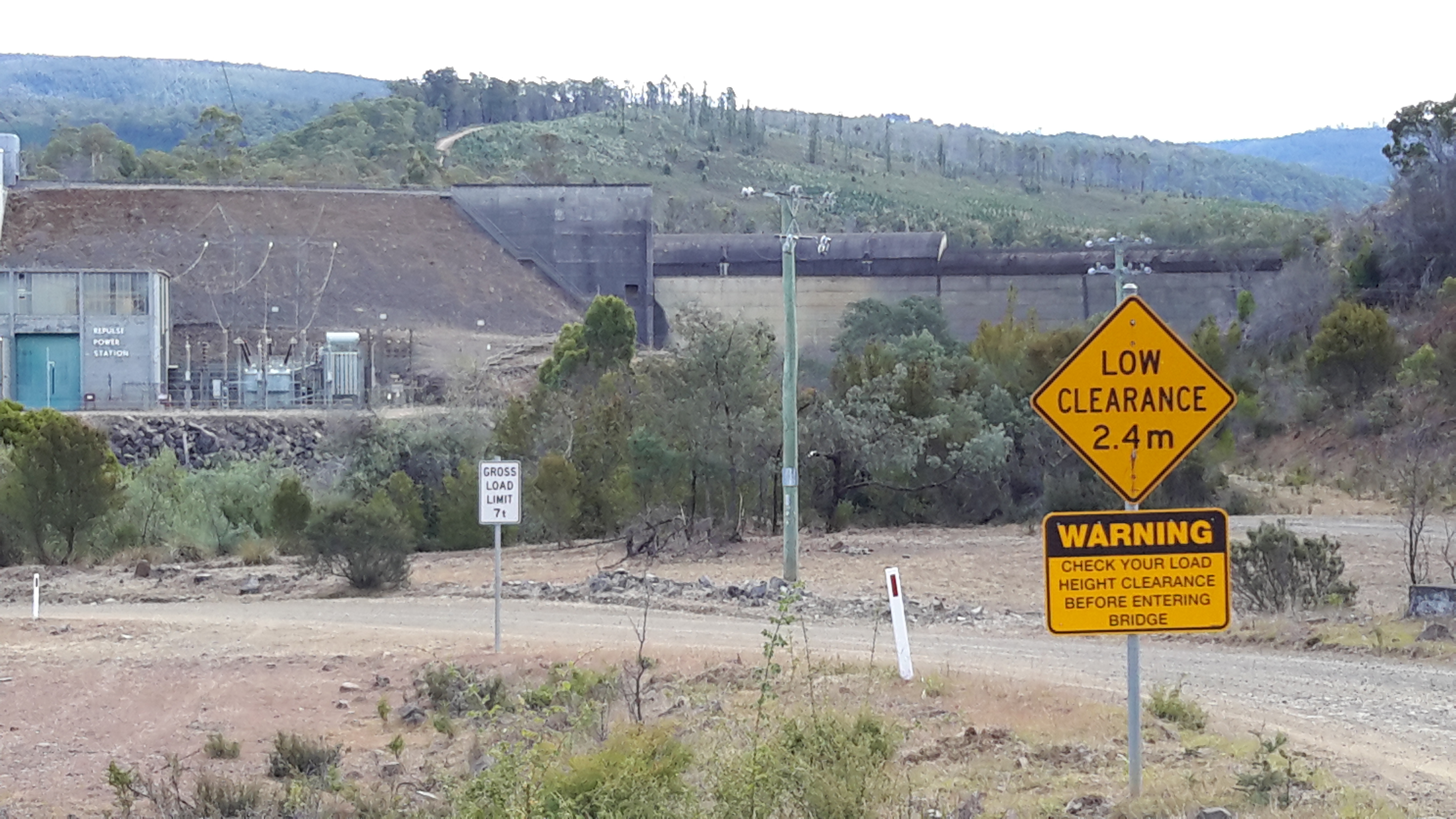
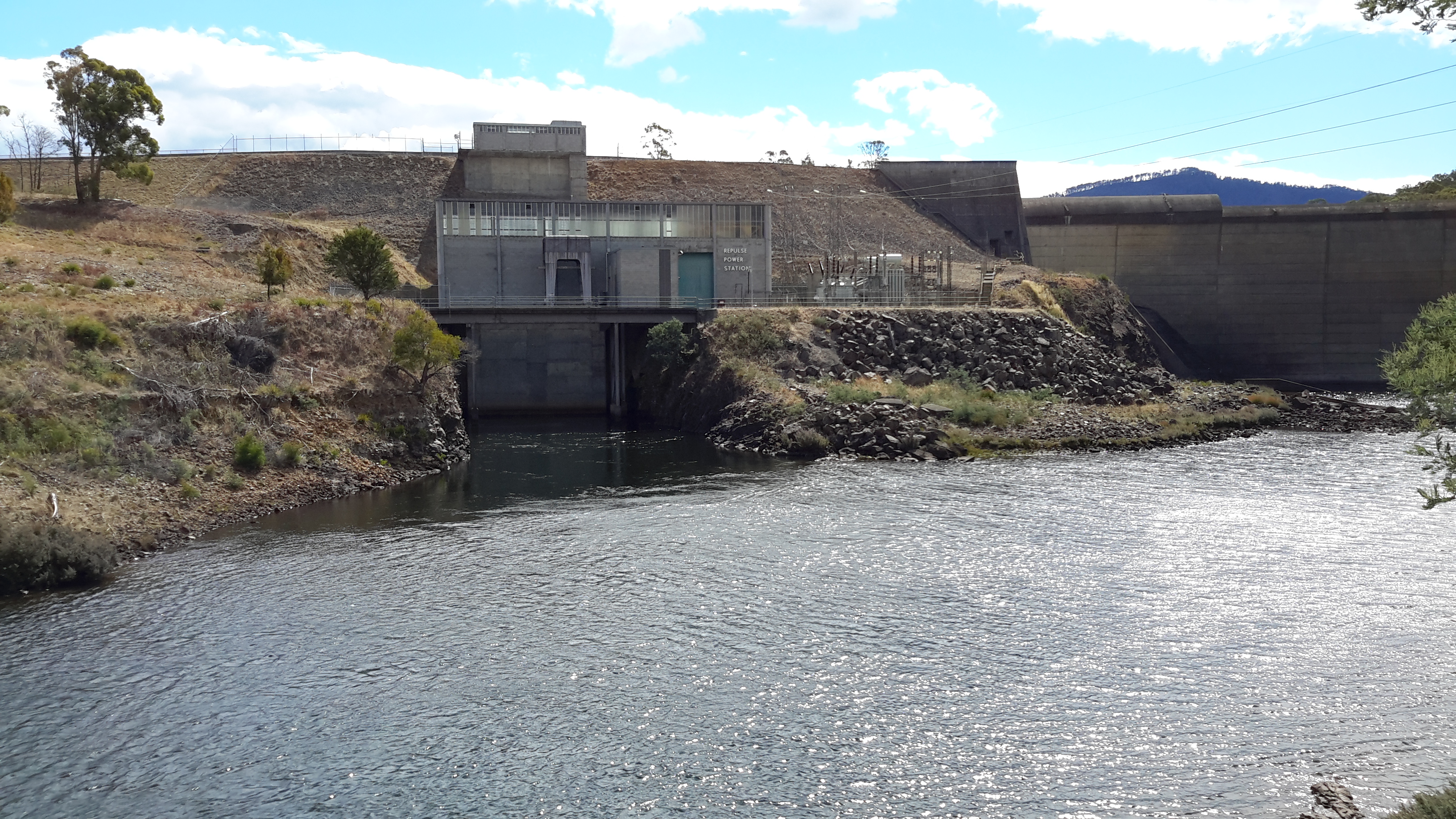
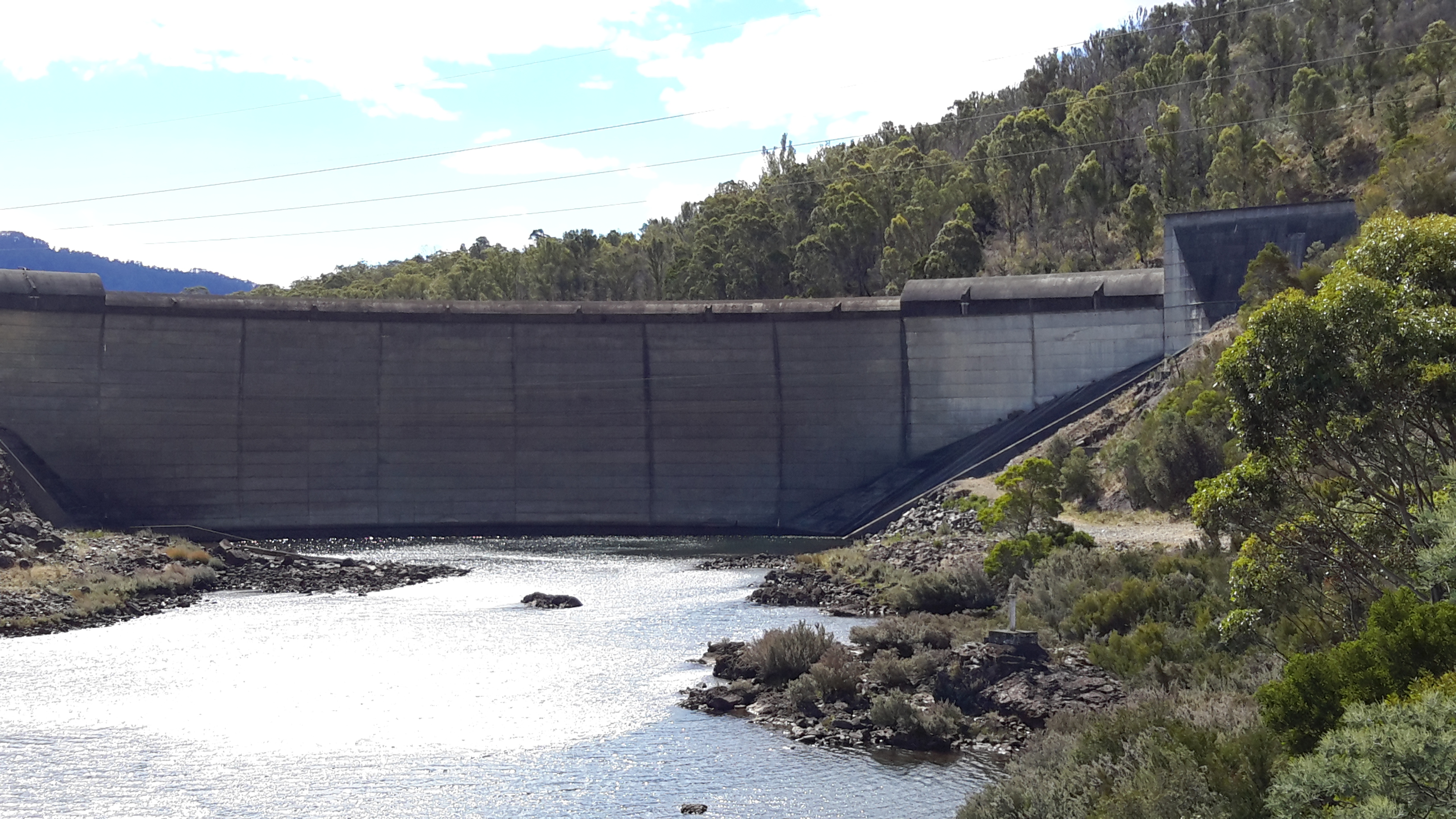
I knew I was near the end of the walk when I sighted the concrete top of Lake Repulse Dam.

20160124_155833.jpg

20160124_155838.jpg

I continued walking until the single-lane bridge over the Derwent River came into view.

20160124_160348.jpg

20160124_160405.jpg

20160124_160450.jpg

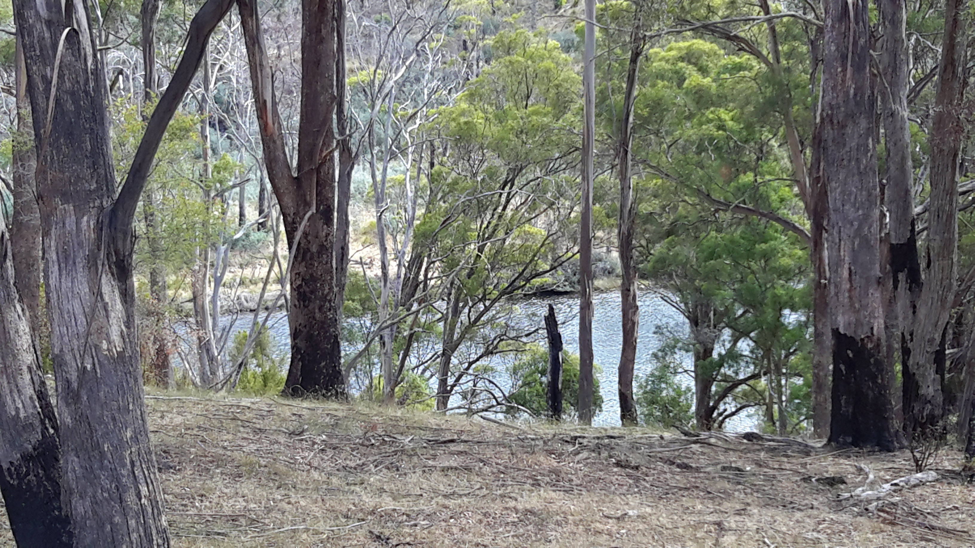
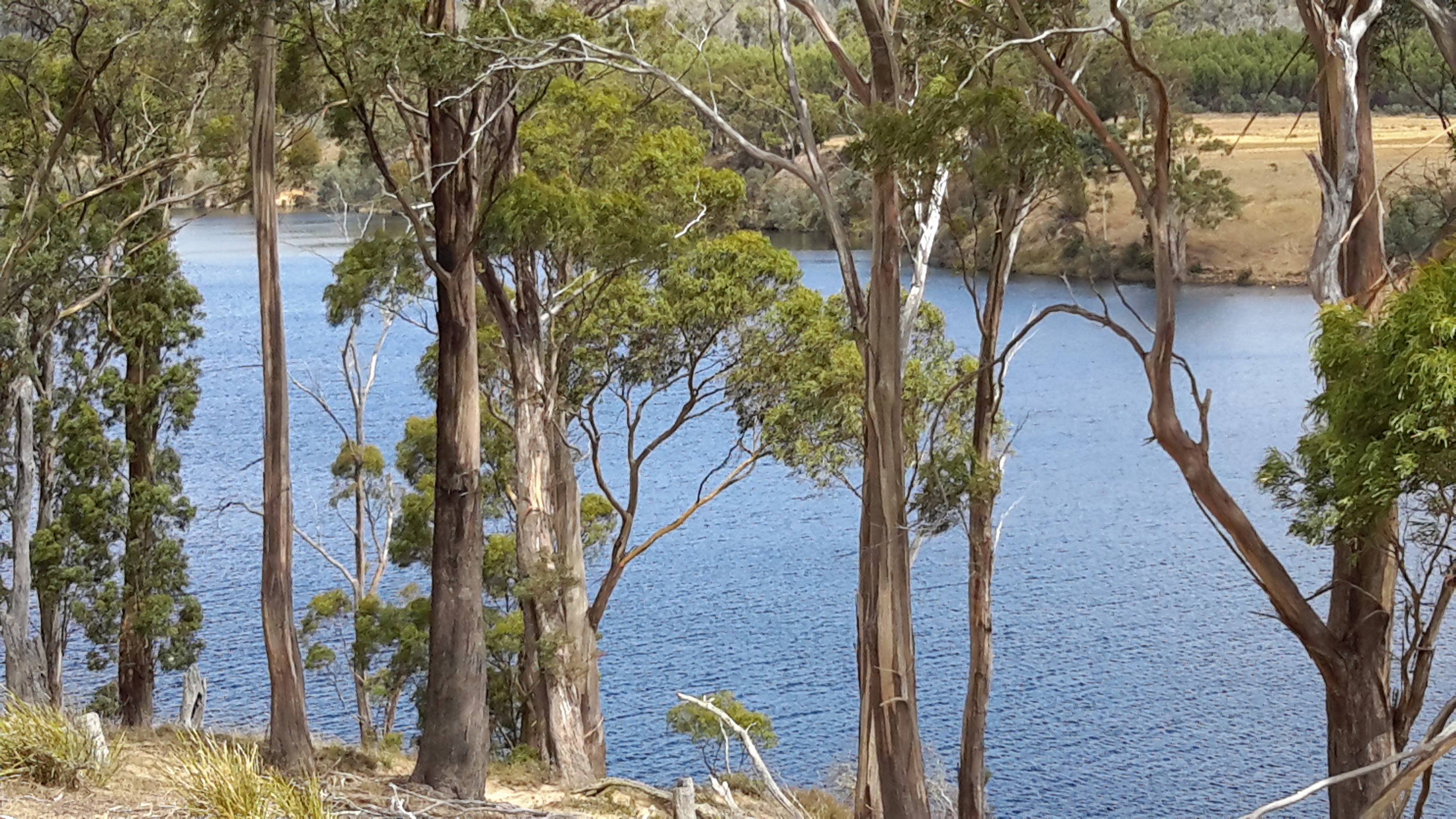
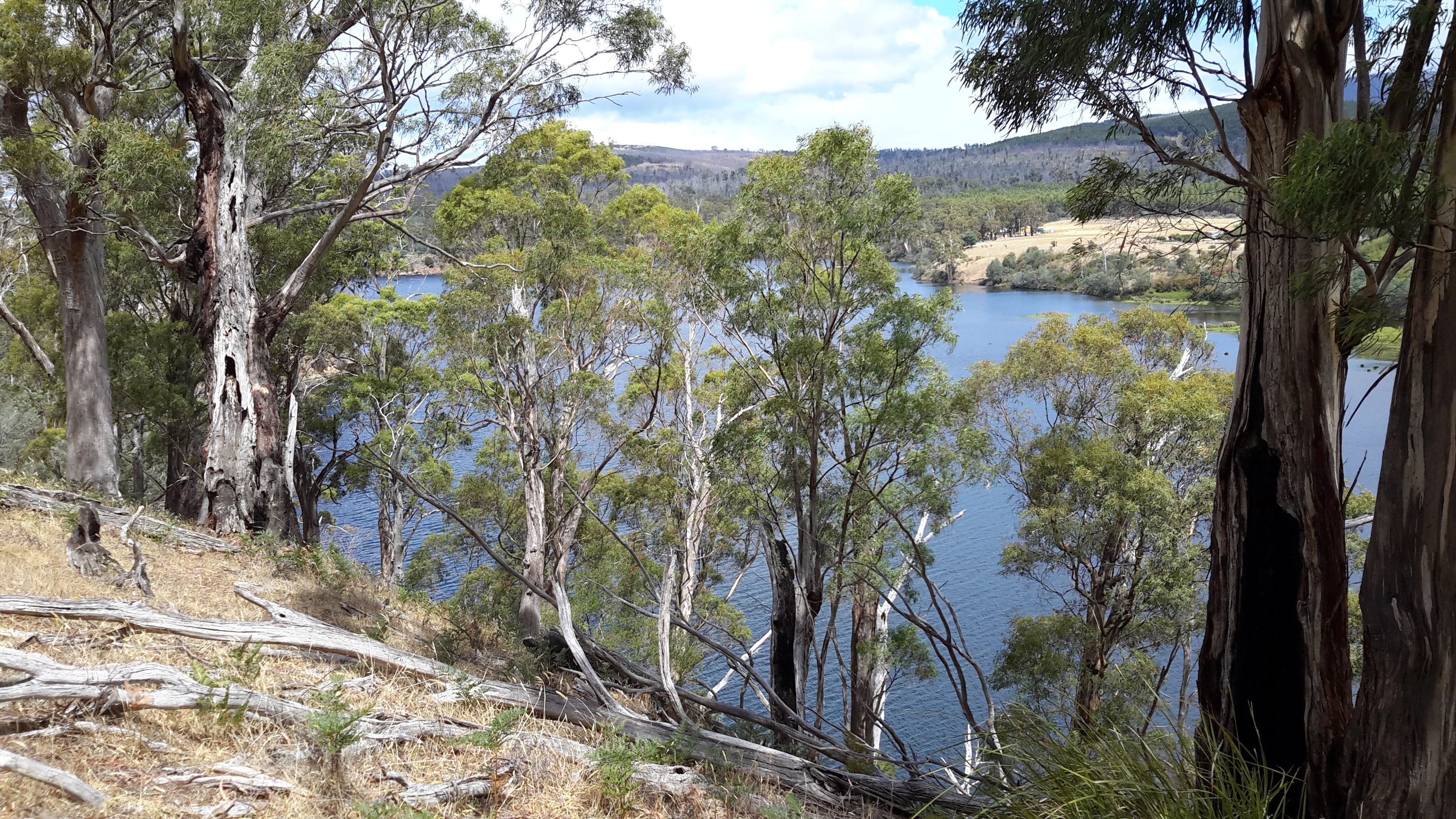
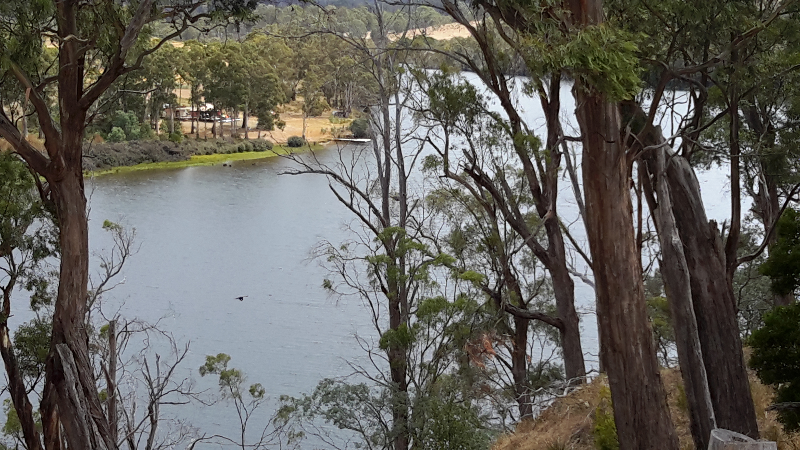
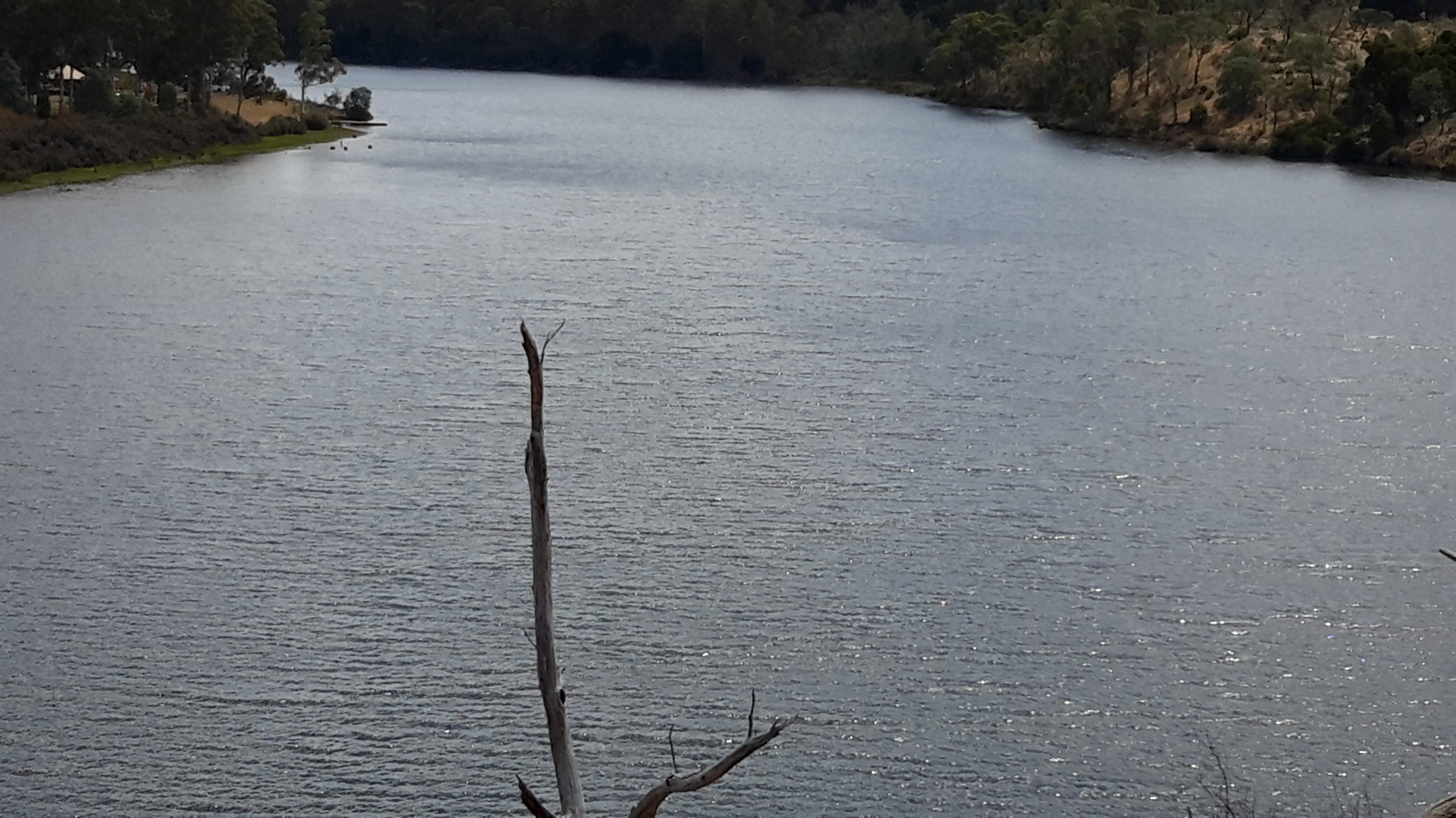
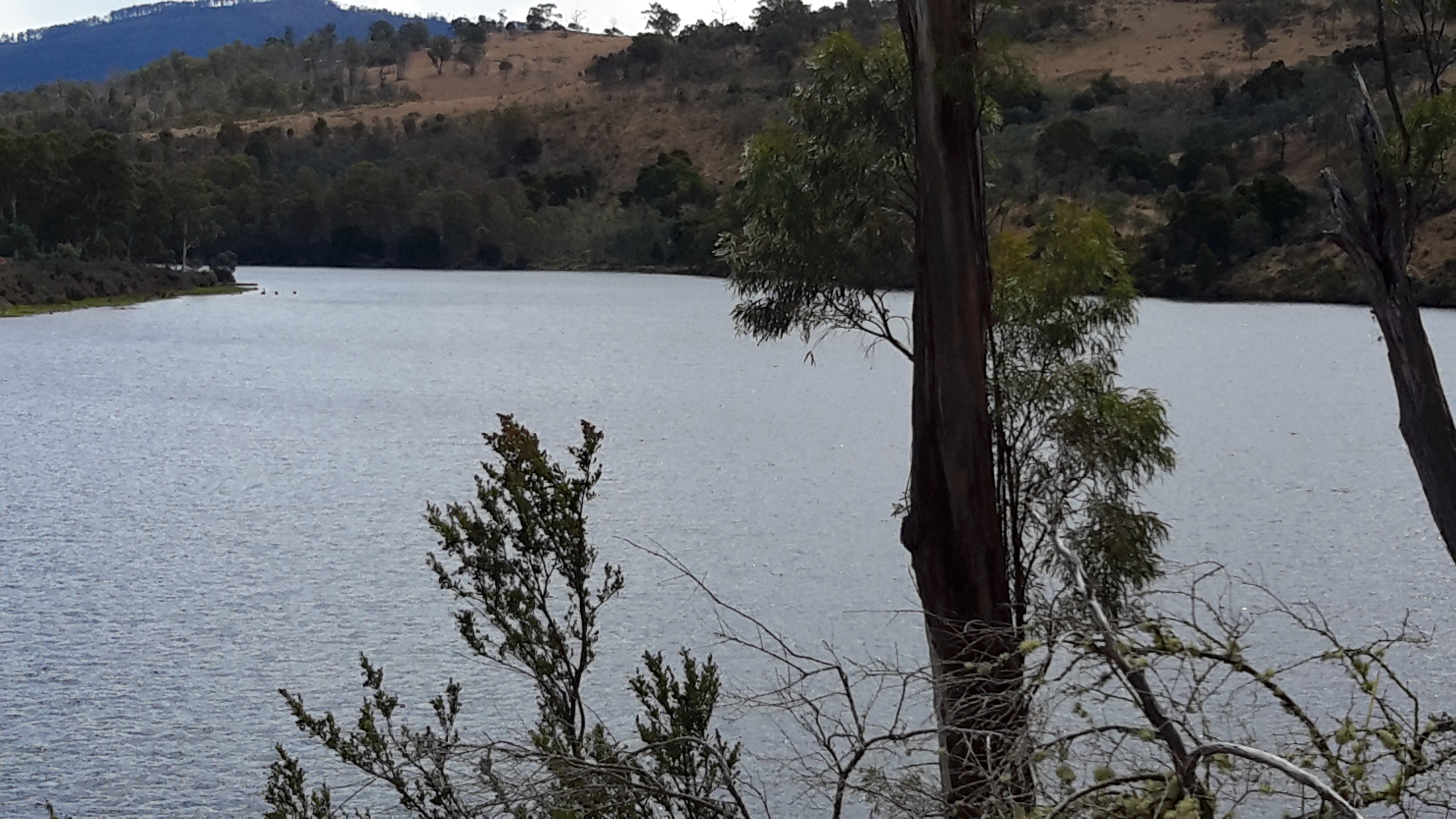
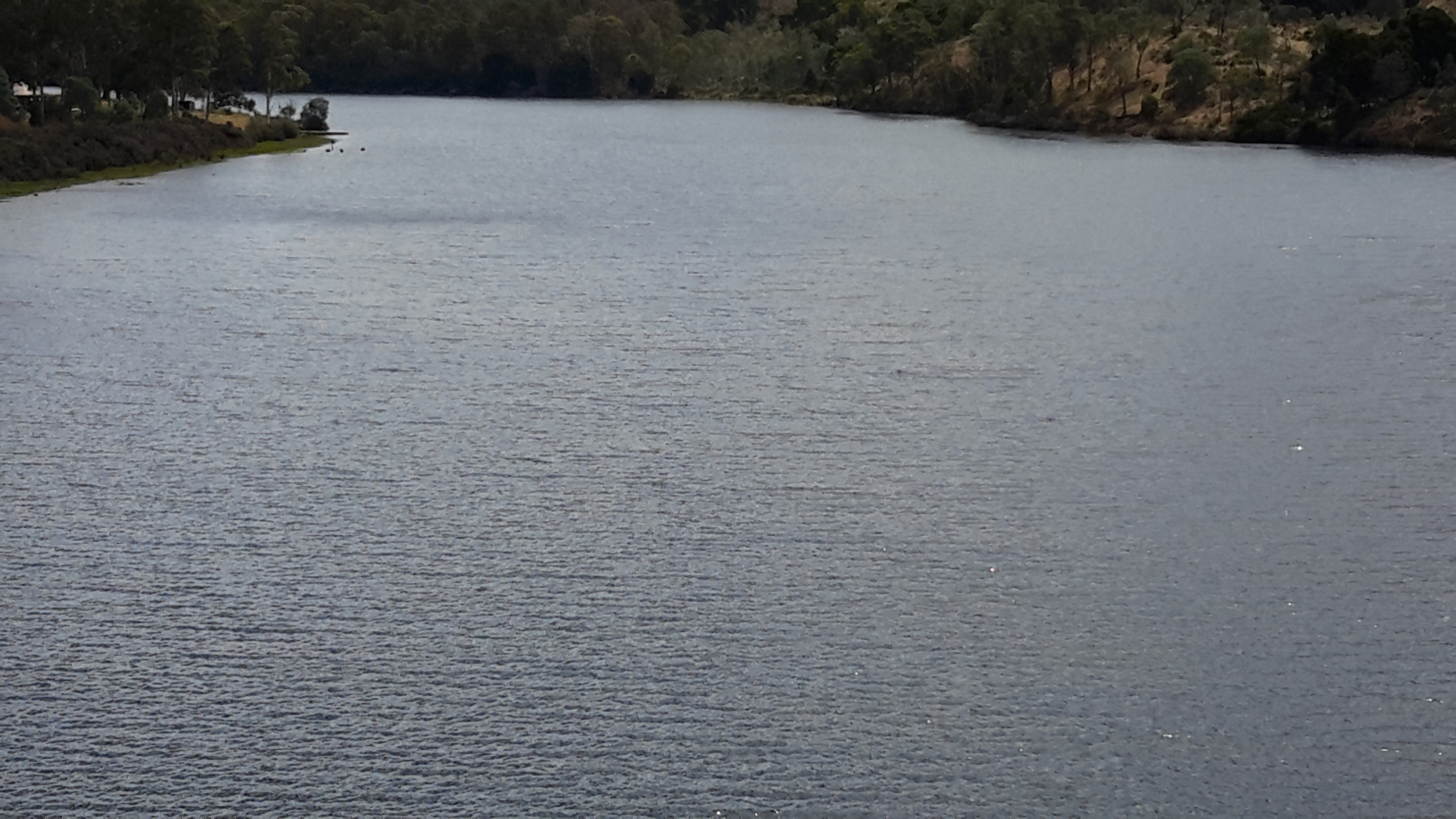
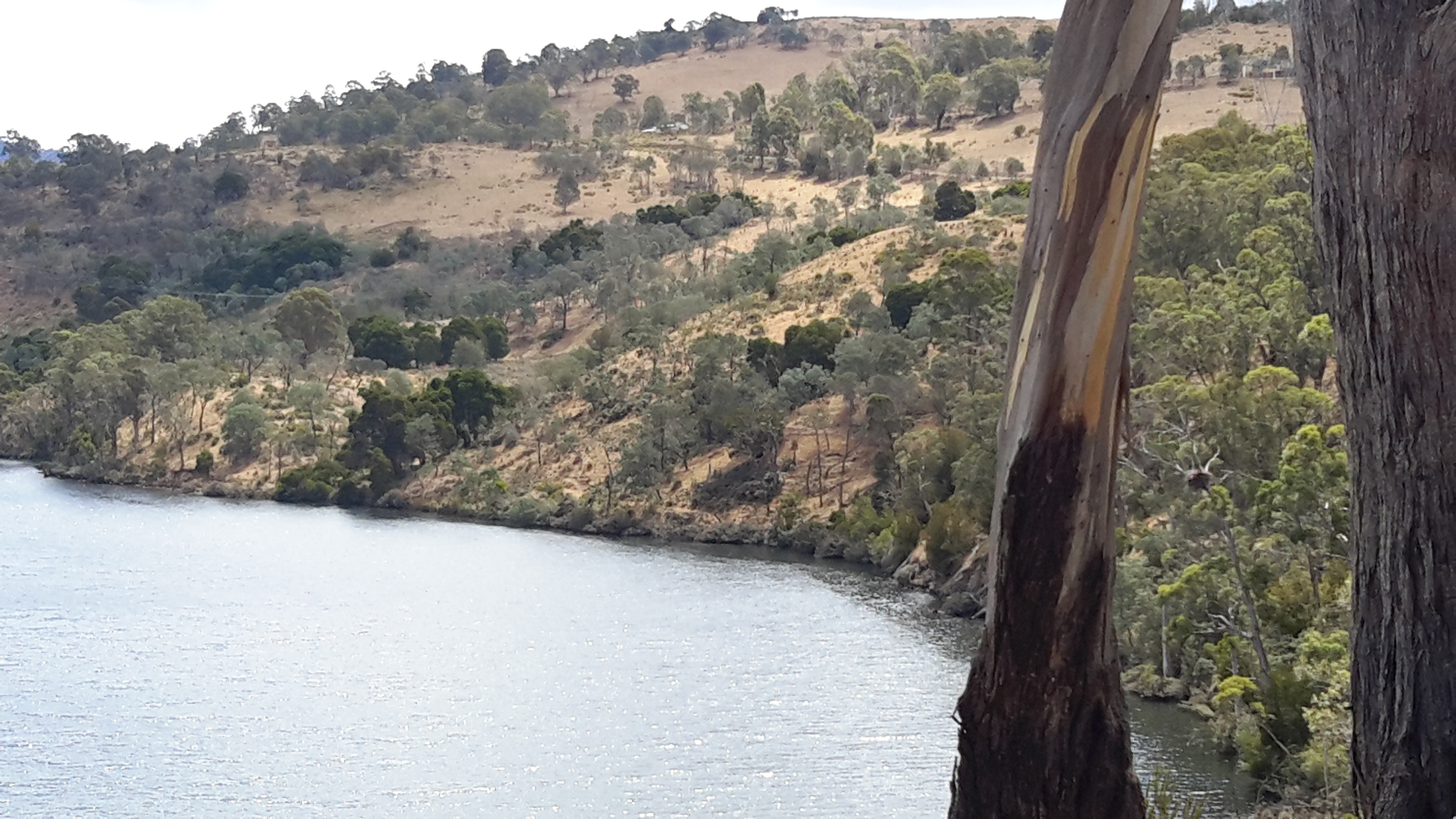
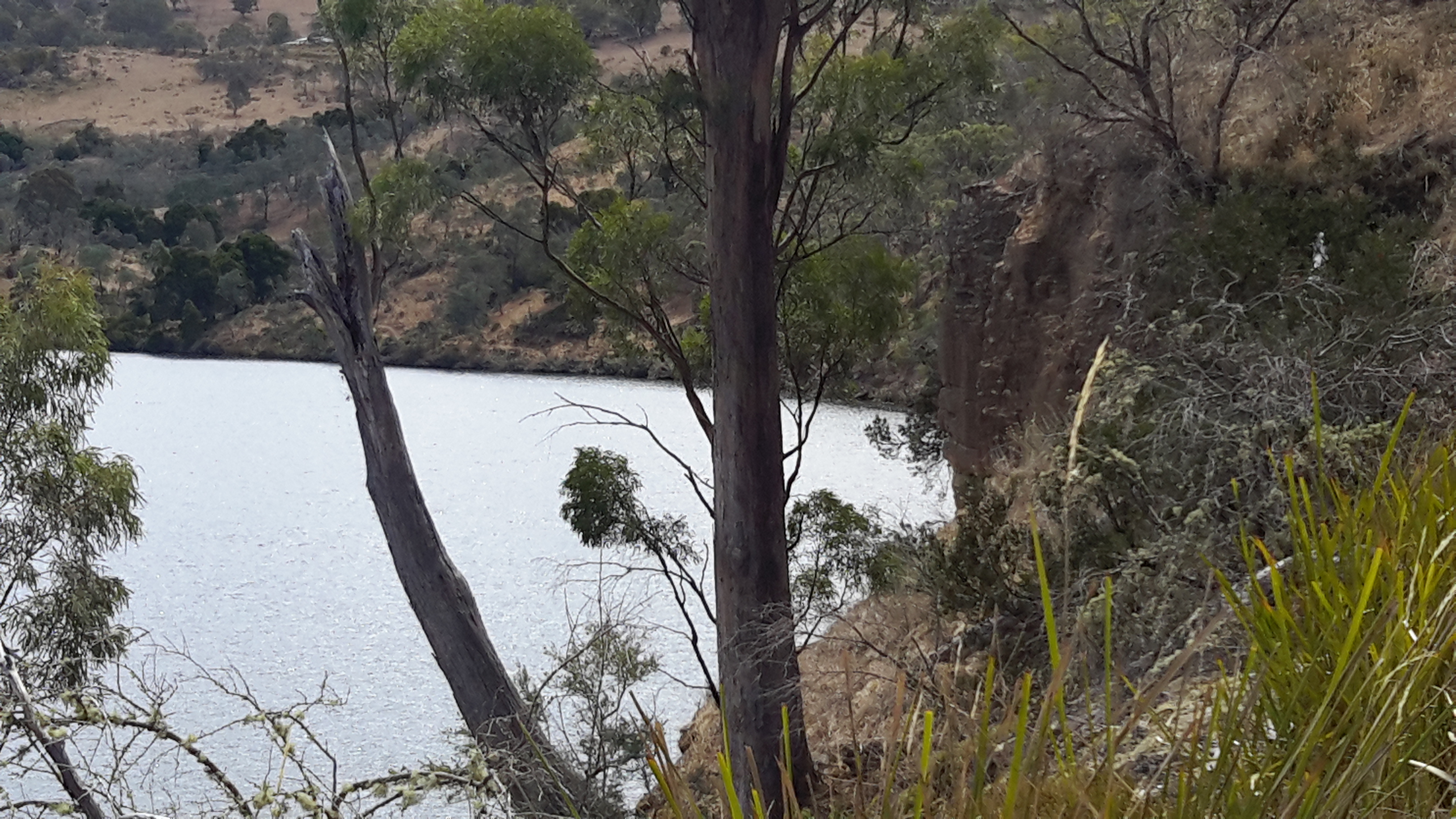
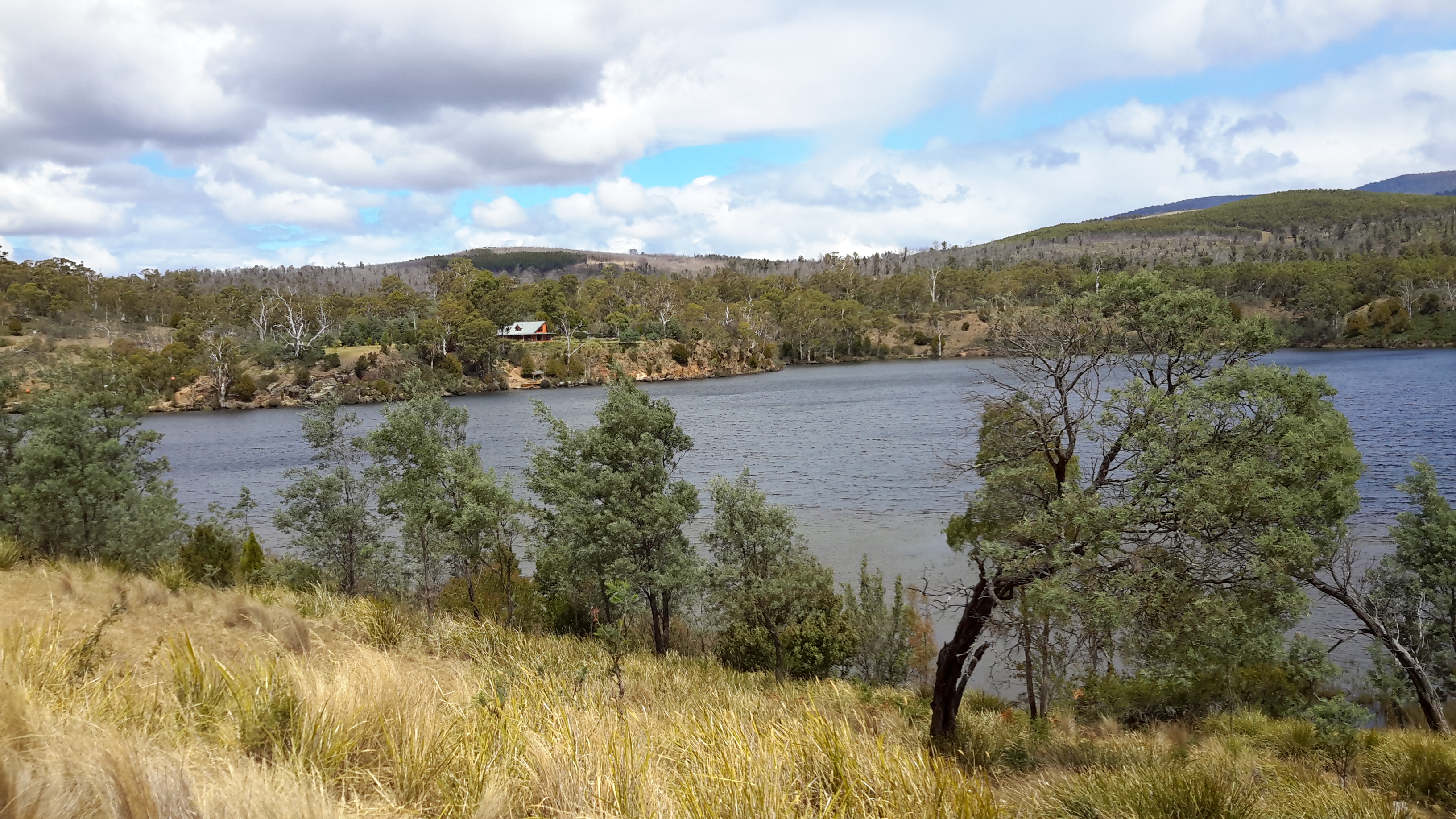
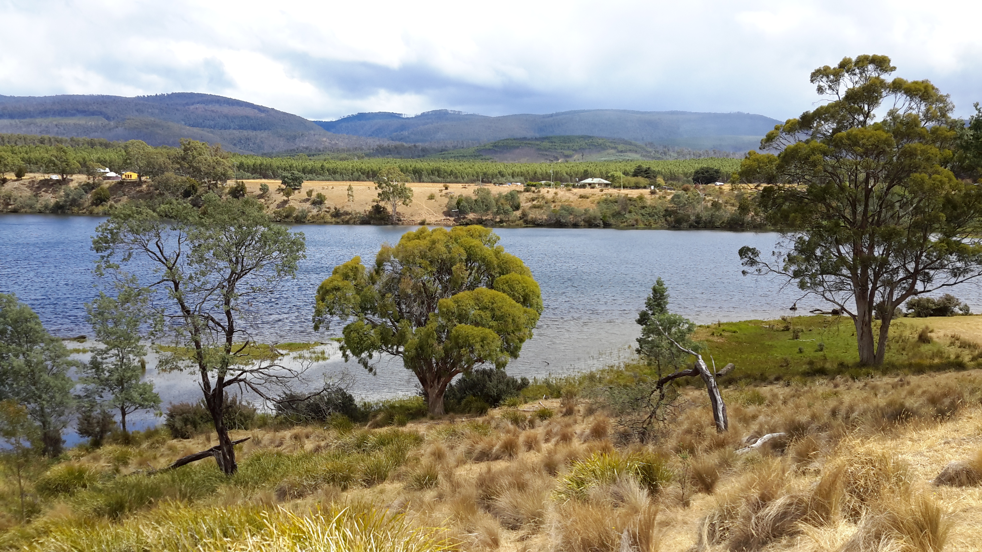
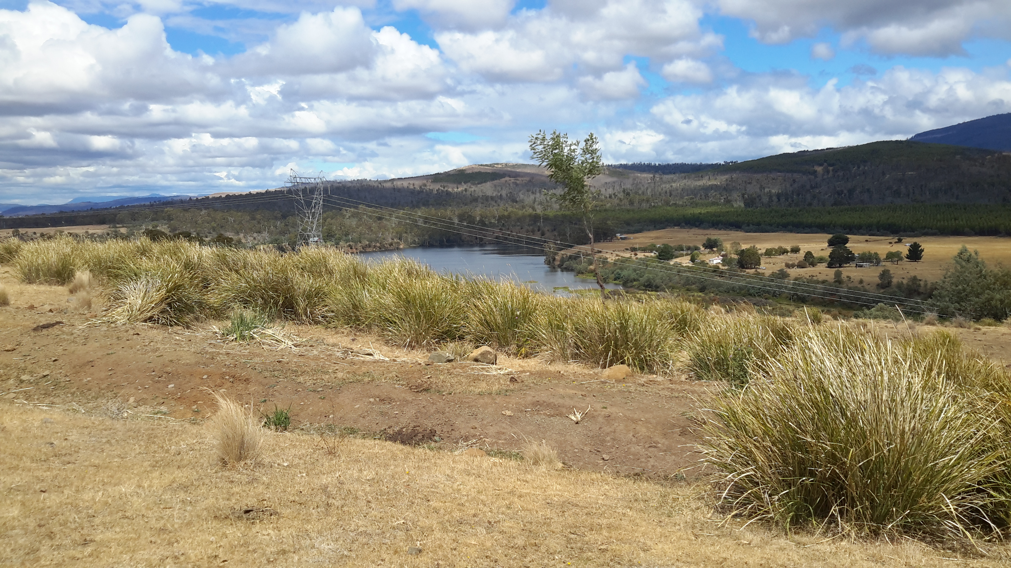
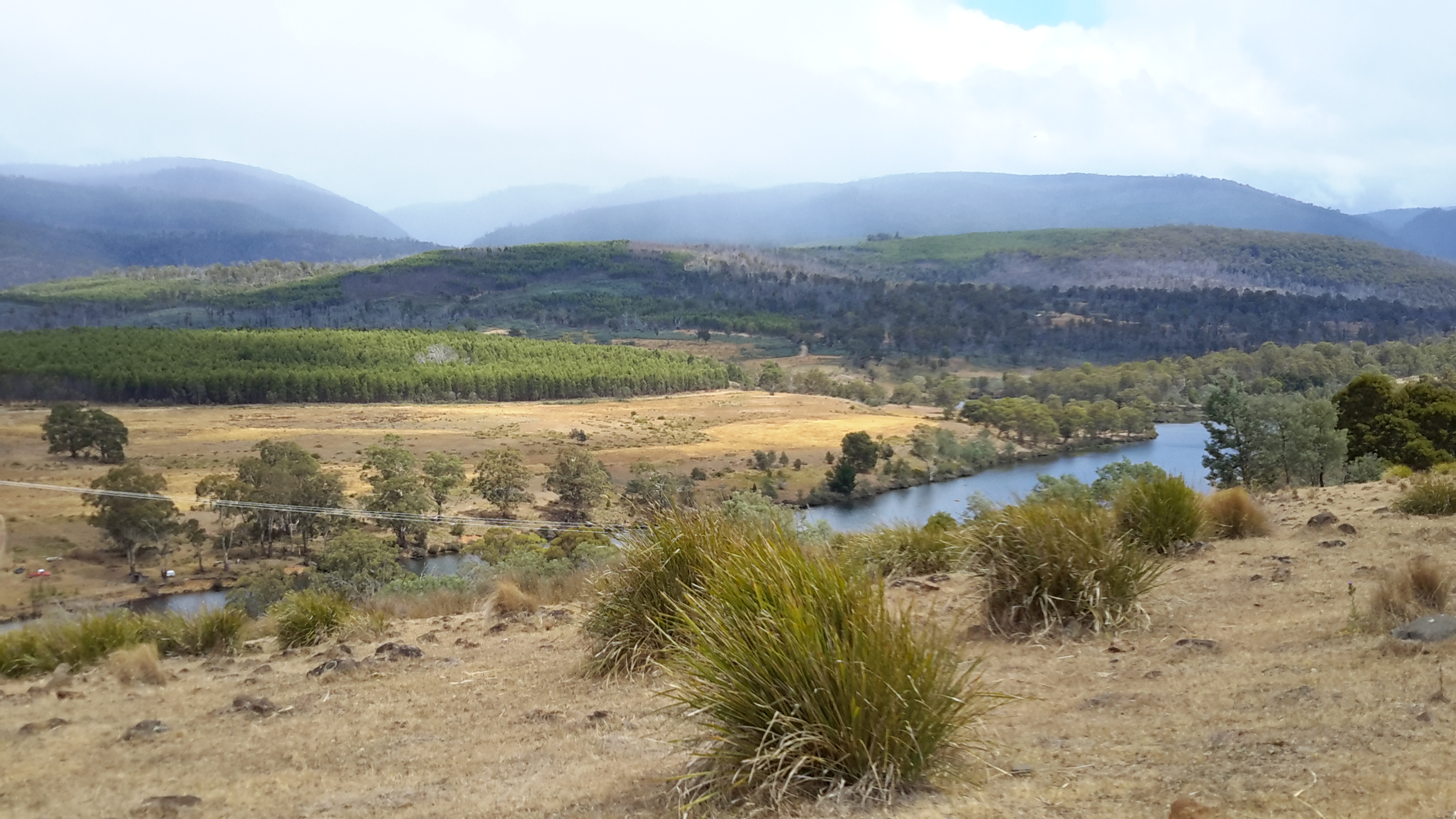
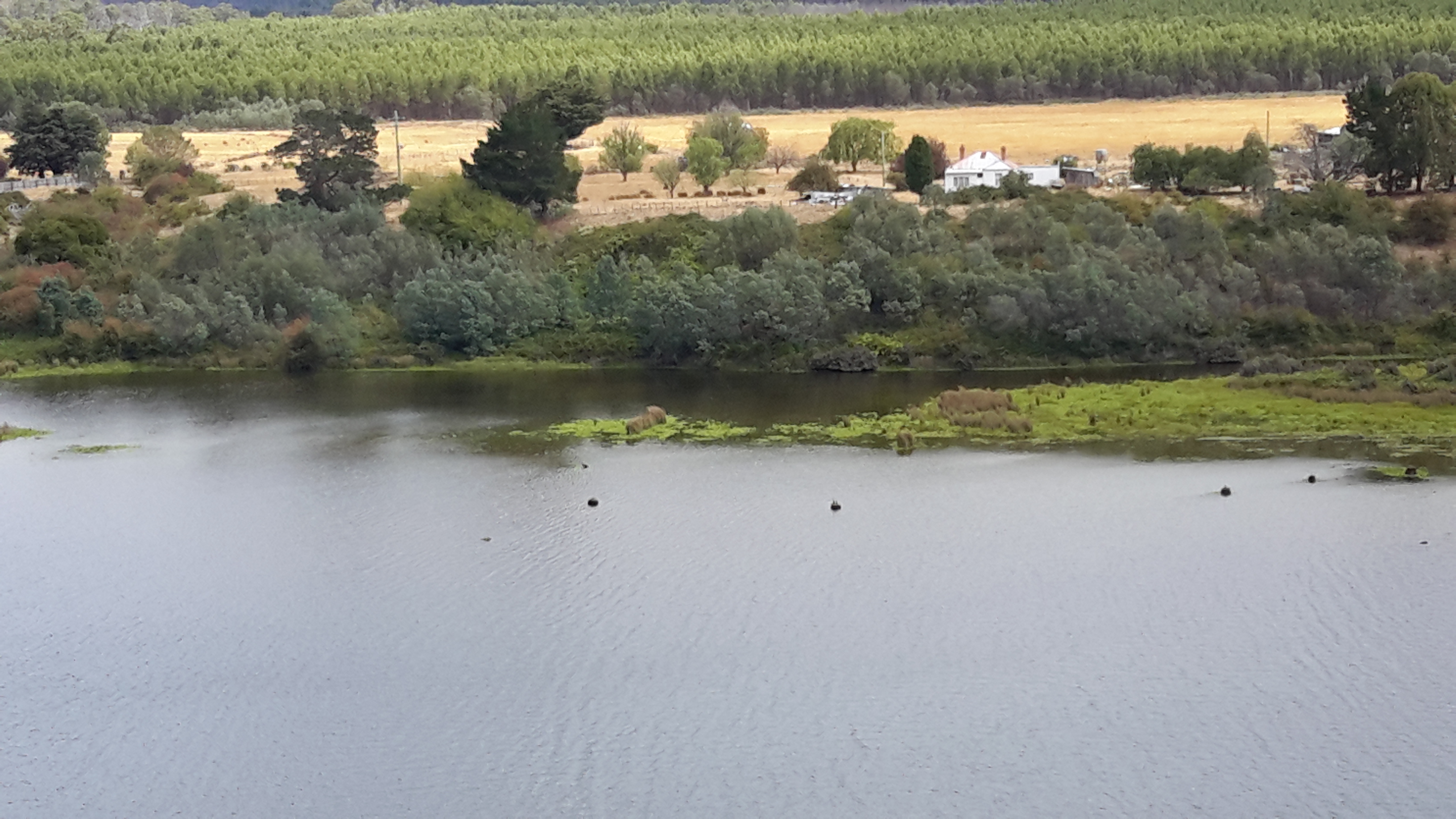
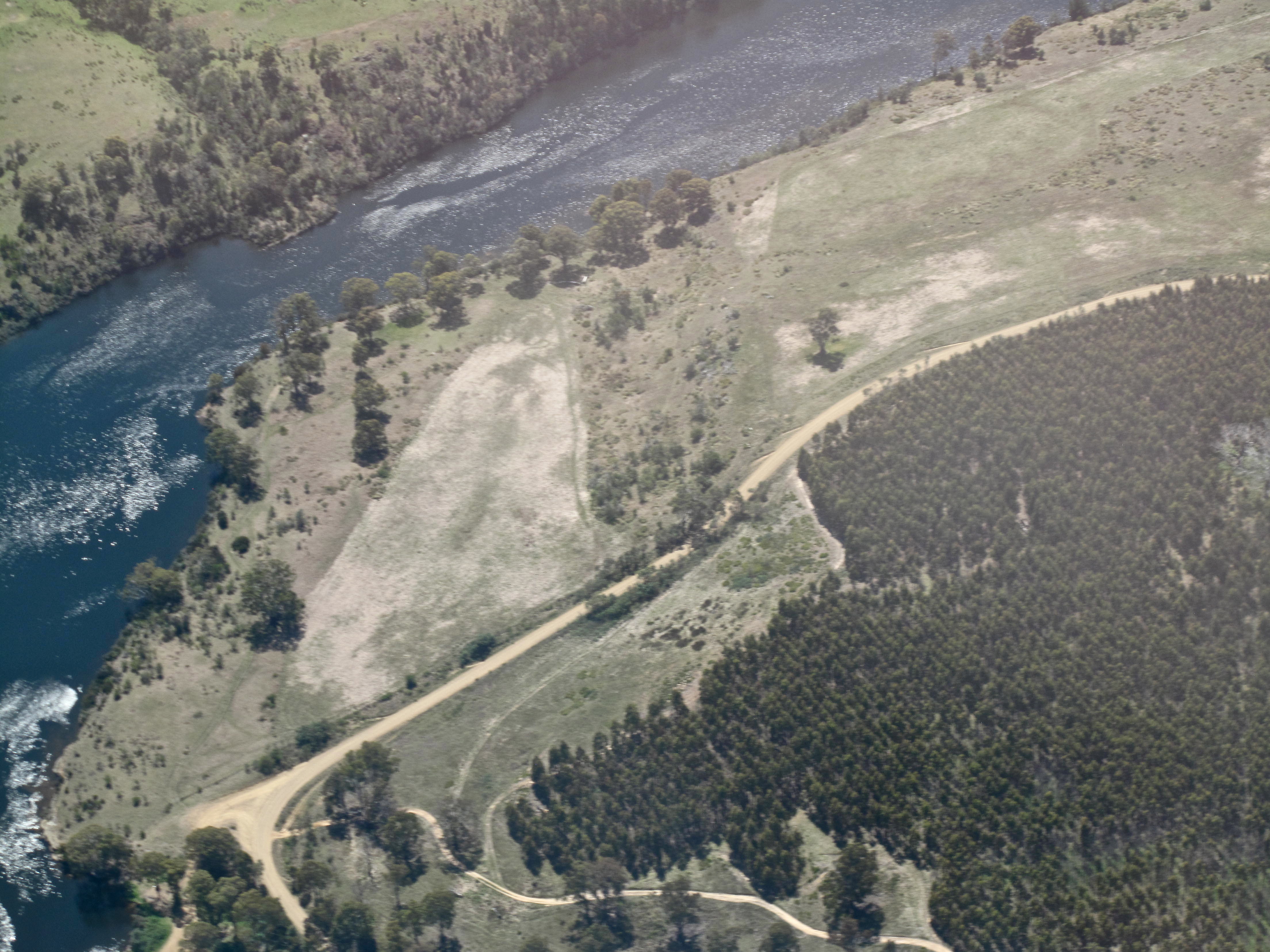
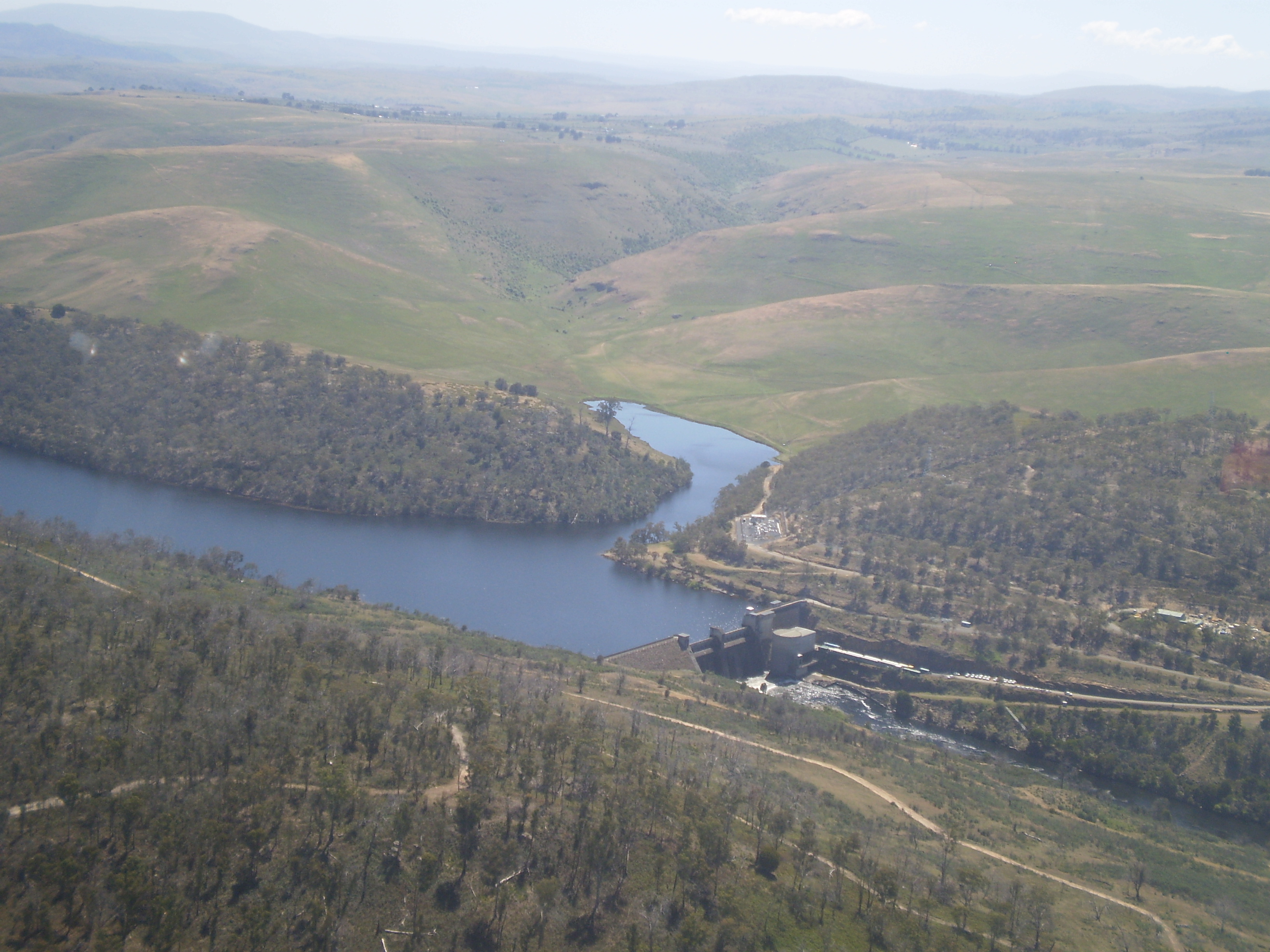
I expected little traffic in this area so I walked onto the bridge for a good look down towards Cluny Lagoon and then upstream towards the Dam wall and the water being disgorged at its base.

20160124_160548.jpg

20160124_160531.jpg

20160124_161038.jpg

20160124_161143.jpg

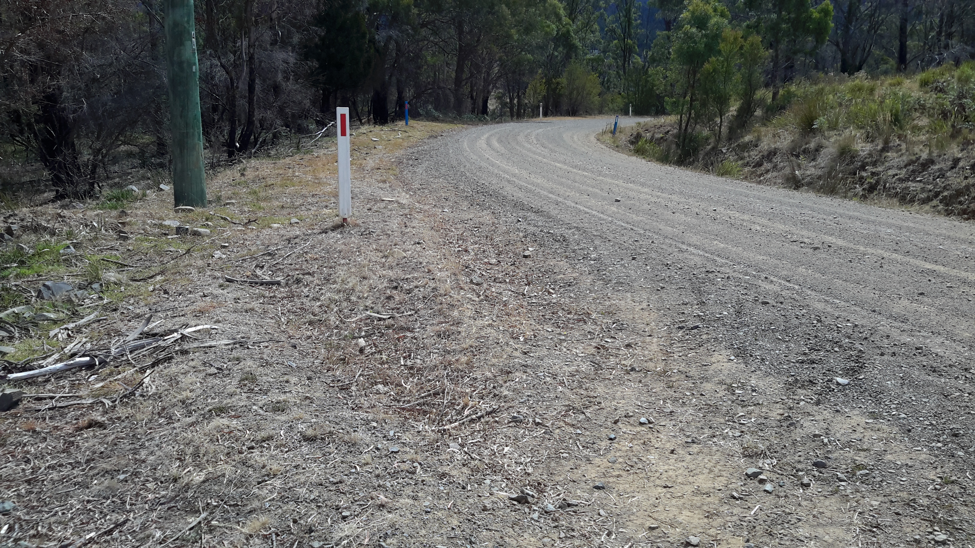
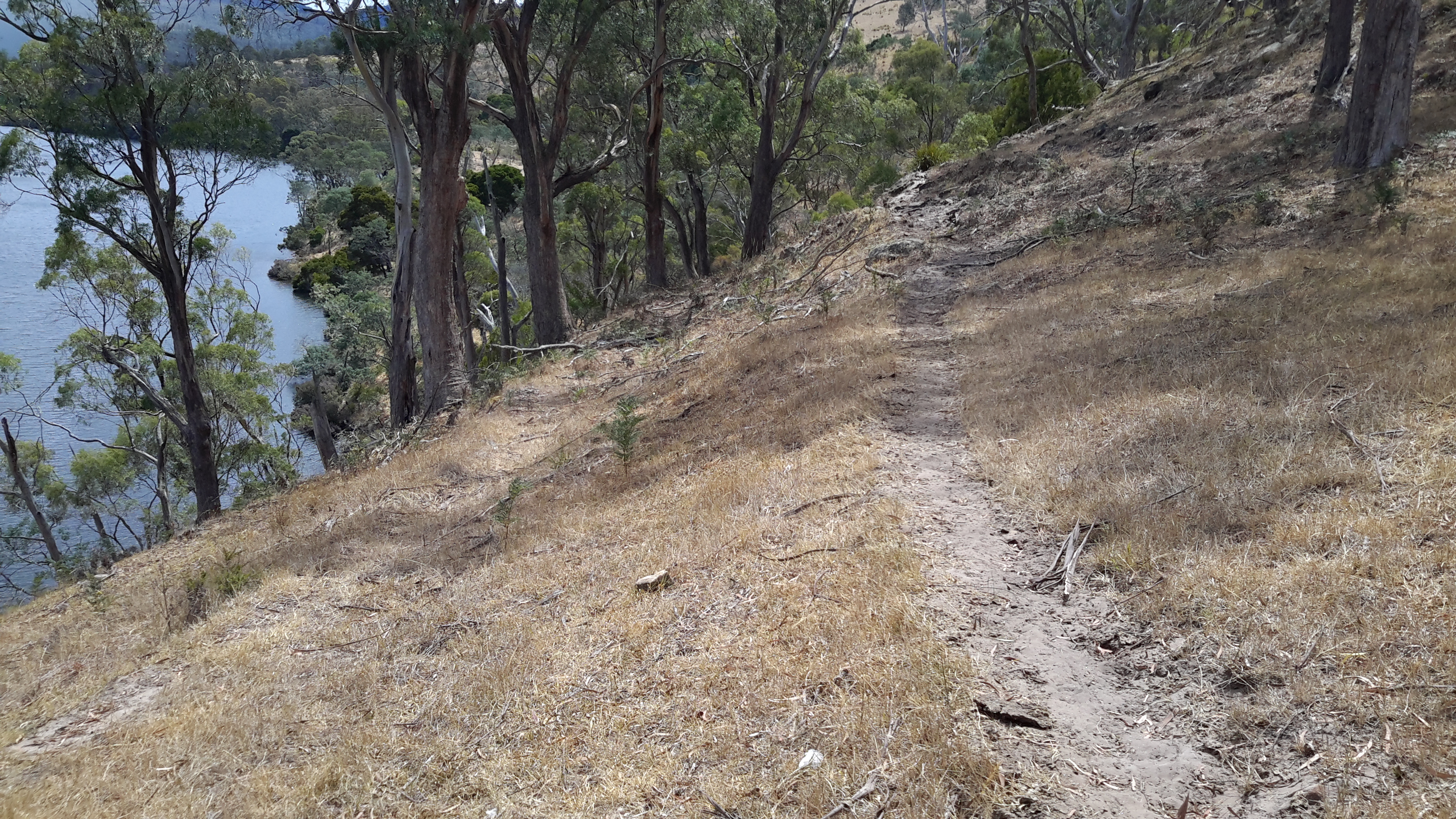
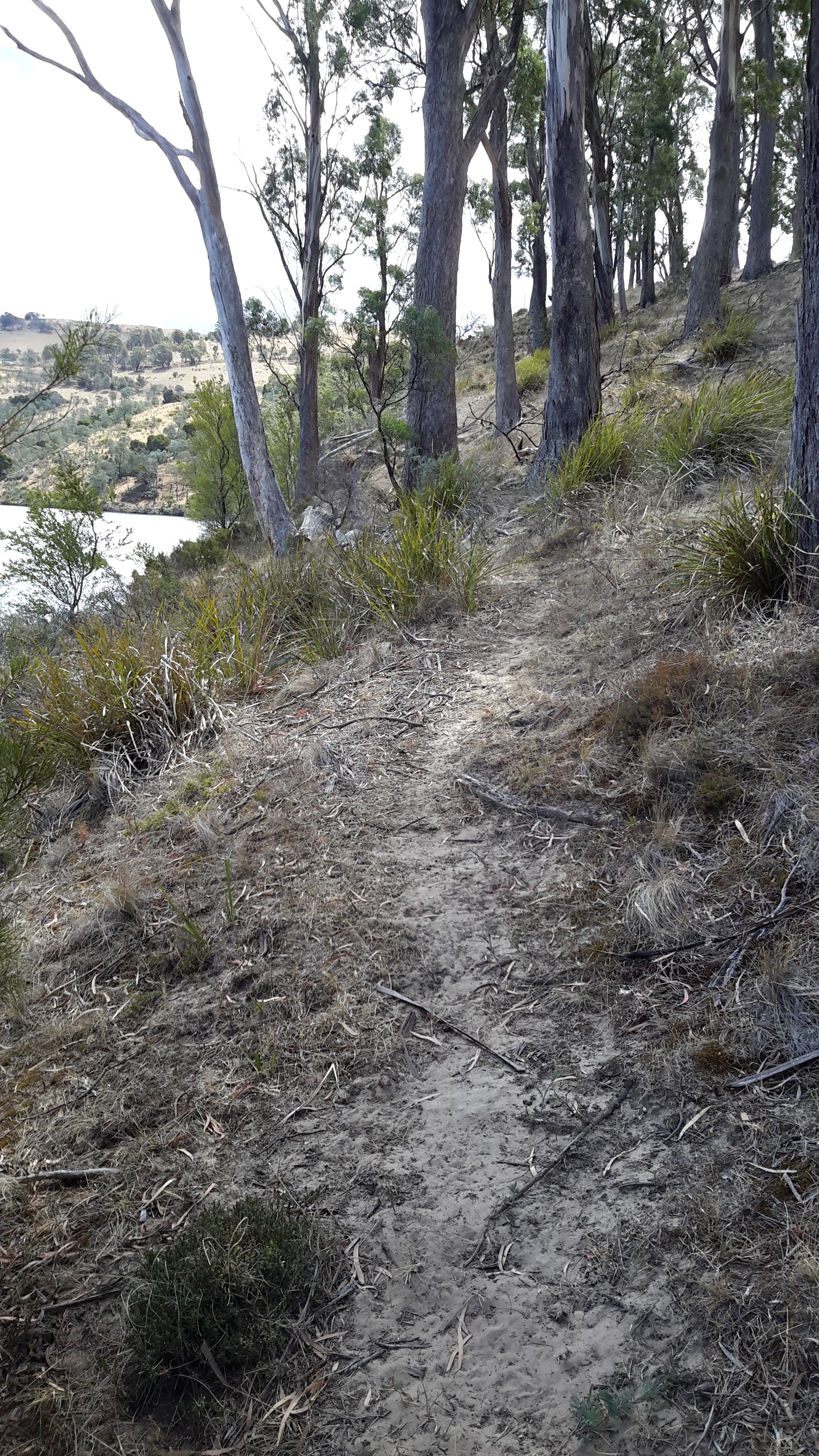
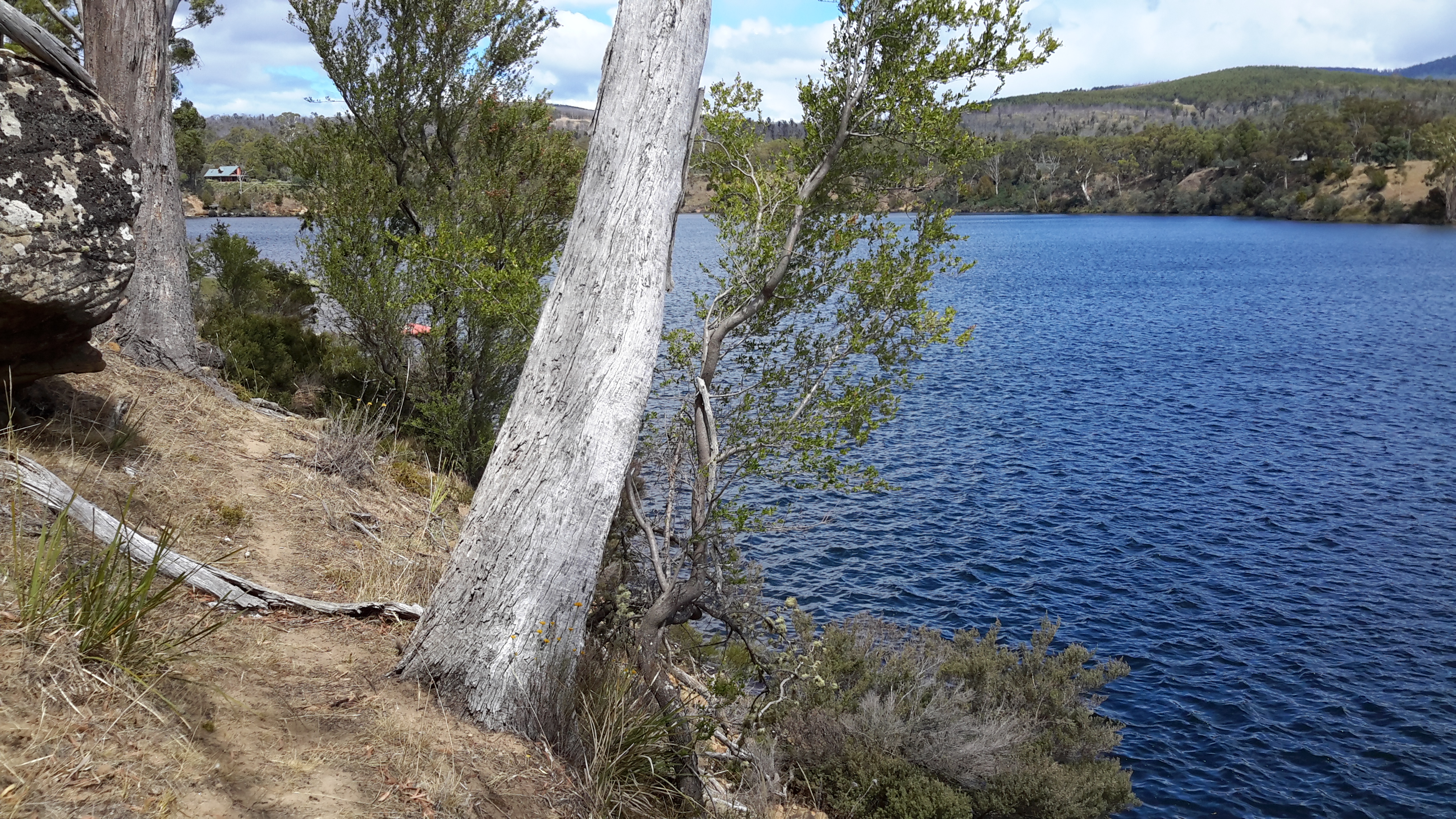
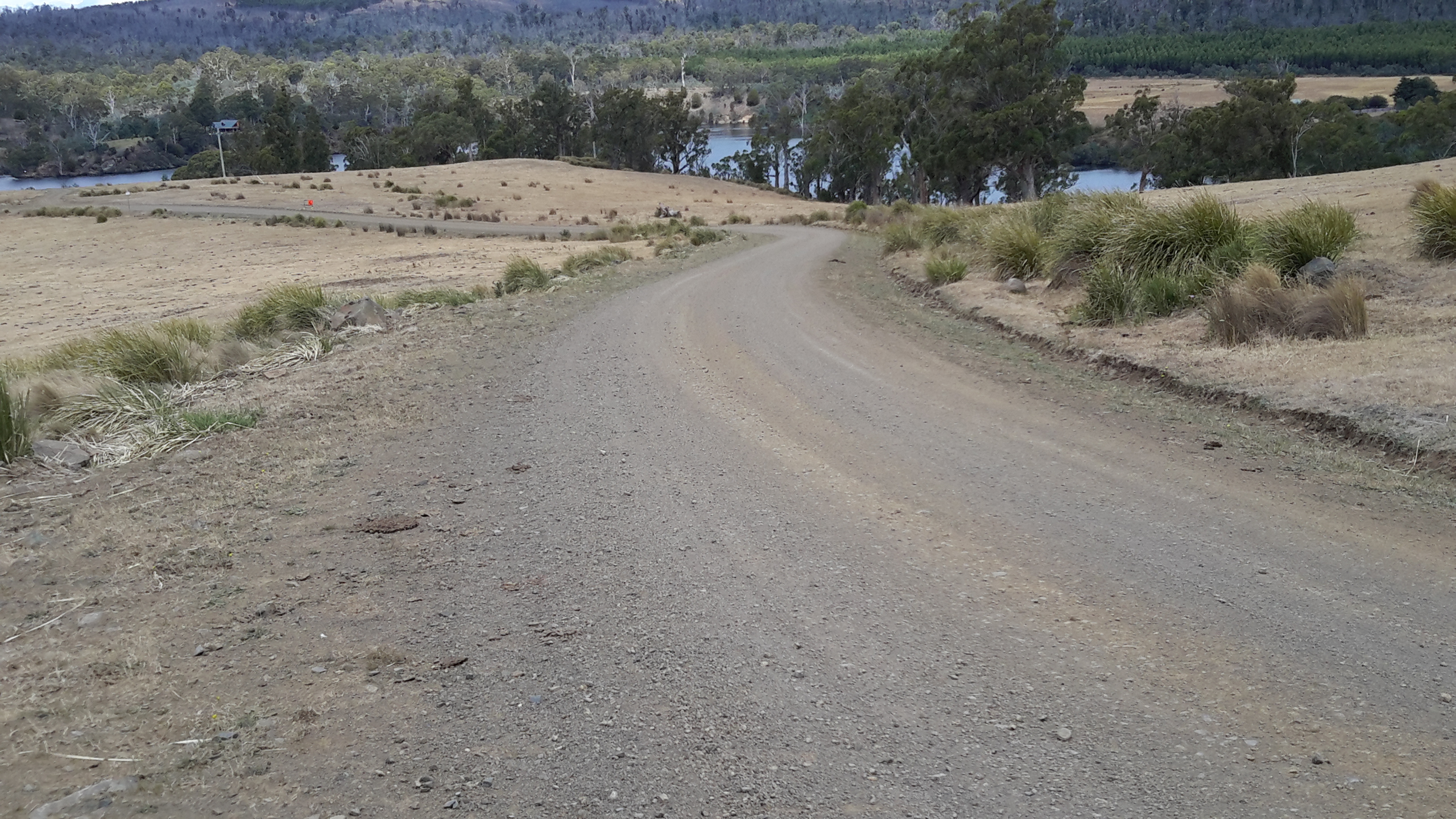
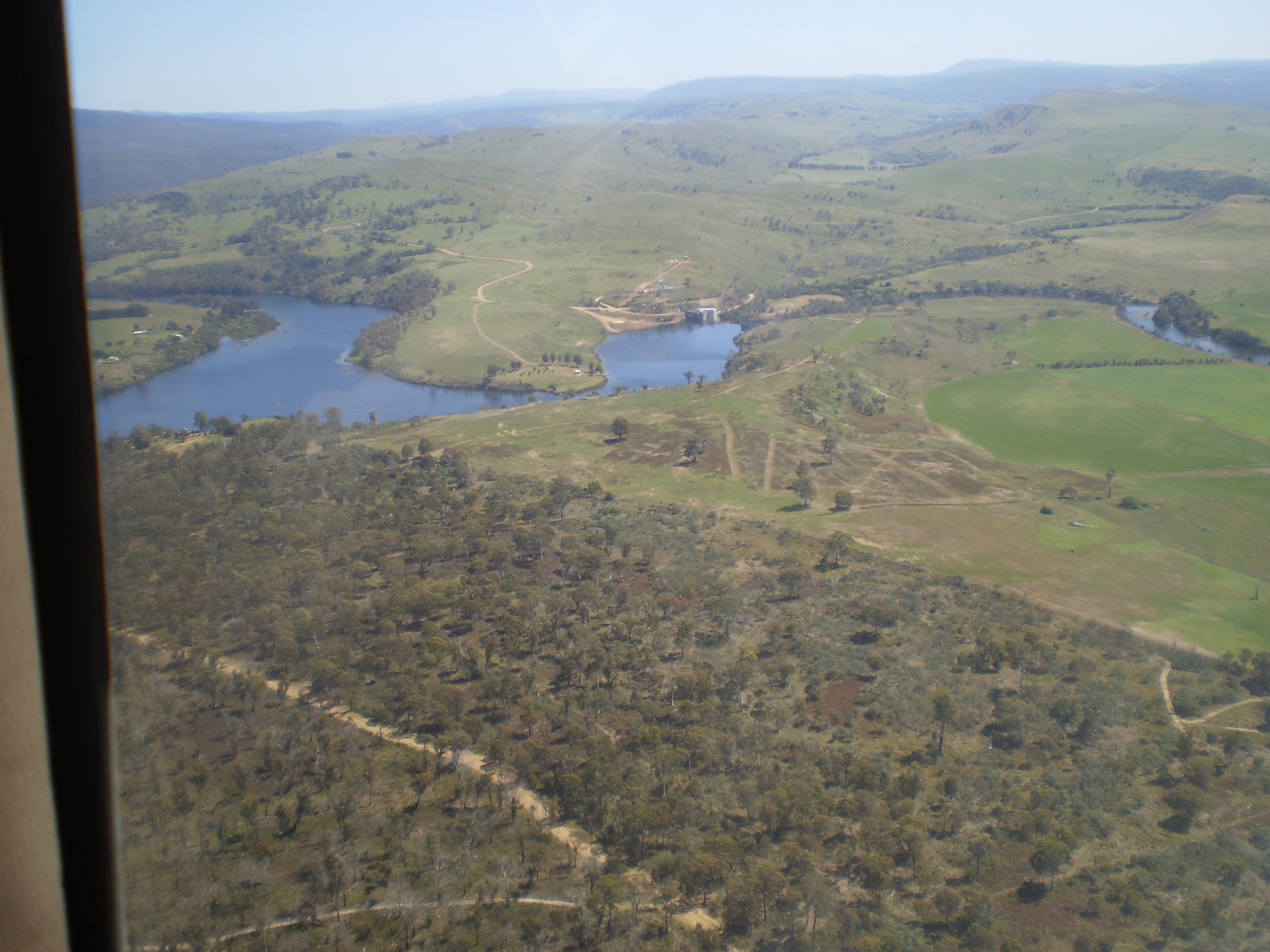
Future postings will contain the detail and show photos of my walk through the bush along the top right of the dam wall as I headed inland around Lake Repulse Dam towards Catagunya Dam.

20160124_160617.jpg

20160124_161146.jpg

20160124_160650.jpg

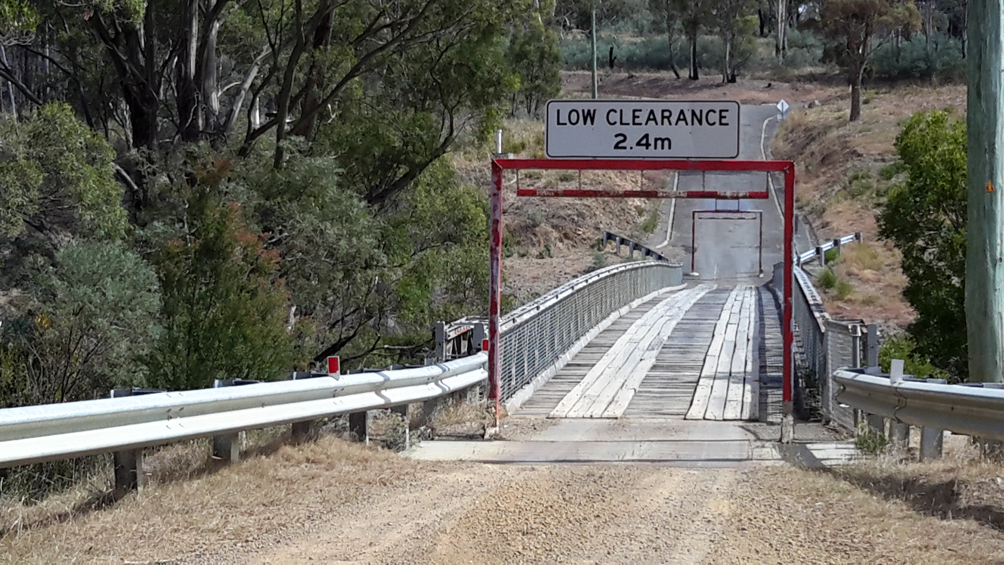
When I was standing close to the dam wall, I was able to look back to the wooden bridge.

20160124_161155.jpg

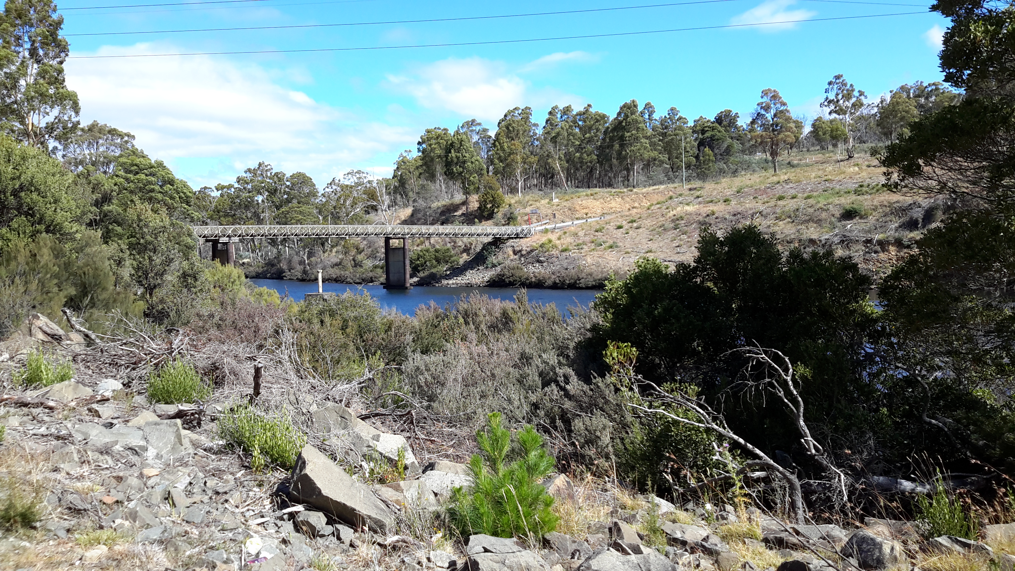
I felt privileged to see this wooden bridge which must be one of the few left around Tasmania.  I imagine that in not too many years’ time, a ‘modern’ metal one will replace it. Meanwhile this sturdy piece of engineering is a very attractive find located not so far from the Lyell Highway.

Closing in on the Lake Repulse Dam

As I closed in on the western end of Cluny Lagoon and the Lake Repulse Dam, I was able to walk lower down nearer the water.  Sometimes a strip of vegetation made accessing water a challenge, whereas in other places, anglers had made their own access paths.

20160124_153616

20160124_153650

20160124_154257

20160124_154359

20160124_154510

20160124_154526

20160124_154543

For the last few hundred metres to Lake Repulse Dam, it was easier to walk on the gravelled surface of Lake Repulse Dam Road than to push my way through the bush on the steep uneven river bank.

20160124_155245

20160124_155440

Panoramic views

I continued walking up and down the cleared land of the undulating landscape forever keeping as close to the Cluny Lagoon as practicable.

20160124_144524.jpg

And occasionally I deviated away from the river to capture the panorama.

20160124_144817.jpg

20160124_145834.jpg

20160124_150404.jpg

In addition, I felt compelled to take photos of the towers and wires which remind me that the water of the Derwent River is being used to generate electricity.  Cluny Lagoon exists to keep us electrified.

20160124_144952.jpg

20160124_145044.jpg


Feather

I took a couple of photos of a feather as I walked beside Cluny Lagoon. However, because of the large length and with my eyes squinting against the pervasive sunlight, I missed seeing that the entire feather was not within the photo frame.

20160124_143531.jpg

This was a very very large feather.  You can see the front of my walking boot next to the feather. I placed my heel at the quill end of the feather so you can get an idea of the length of the feather.

20160124_143545.jpg

So – which type of bird lost a feather?  My first reaction is that the feather will be from an endangered Tasmanian Wedged Tail Eagle.  Is there a blog follower who can identify this feather?

The colours of Cluny Lagoon

Apart from a boat trailing a skier motoring up and down the Lagoon, the water was ruffled only by occasional breezes.  Despite the occasional rain the afternoon was comfortably warm, and so the Lagoon looked inviting.  But I walked on.

20160124_142502.jpg

20160124_143302Depending on the light, the Lagoon sometimes glistened blue or sat as a plane of gun metal grey.

20160124_143048.jpg 20160124_142704.jpg

20160124_142923.jpg

20160124_143249.jpg

At other times, the water seemed almost to be a shade of green for a tonal blend with the landscape.

20160124_143053.jpg

20160124_143258.jpg


Cow tracks

A mesh of cow tracks can be followed along the edge of the Cluny Lagoon. Some indicate that locals walk these tracks from time to time but most were faint and optional.

20160124_143820

20160124_142344

20160124_142508.jpg

20160124_144413.jpg

Where the cliffs or banks fell straight into the water, the only choice was to walk on their tops.

20160124_142459.jpg

20160124_142701.jpg

20160124_143805.jpg

20160124_144530


Cluny Dam

On an earlier reconnaissance trip I approached the Cluny Dam. The photos show both sides of the Dam.

20151029_160115.jpg

20160121_115750.jpg

20160121_115752.jpg

On my ‘gap’ walk, I headed down the hill from the Hydro Tasmania locked gate, and enjoyed watching the Cluny Lagoon sweeping around a curved piece of land below.

20160124_140855.jpg

I followed the road and vehicular tracks for a way and generally wandered around the Cluny Lagoon/Dam area.

20160124_140901.jpg

20160124_141333

Then I headed to the water upstream of Cluny Dam, ready to walk along the banks.

20160124_141336


Plantation forests in the distance

From the start of my walk, the bulk of one green mass on the other side of Cluny Lagoon signalled a plantation forest.  This man-made forest showed the irregularity and environmental diversity of the Tasmanian bush clearly by contrast. I was surprised how many of my photos contained this massive ‘foreign’ green.

20160124_140328

20160124_140331.jpg

20160124_140447.jpg

20160124_140454.jpg

20160124_145836.jpg

20160124_143258


Starting out for the walk to Lake Repulse Dam

I chose to walk to Cluny Dam from a gated entrance road and then head back westwards all the while walking next to Cluny Lagoon towards my goal which was the Lake Repulse Dam.

To reach the start of the walk, and thanks to Megan, I was driven down the main gravel road from the Lyell Highway (you need to turn off left after the town of Ouse) until we came to a junction indicating the two dams.

20160124_150725.jpg

Of course, we drove down the Cluny Dam road until it was time for me to start walking. The road to the Cluny Dam is blocked by a gate so if you wish to follow in my footsteps, you should obtain permission from Hydro Tasmania.

20160124_150624.jpg

20160124_145612.jpg

The day was marked with rain on the horizon and sometimes a few spots lightly dropped on me. The rain showers softened the distant relatively undisturbed bush landscape in stark contrast to the crisp dry yellow grasses on the cleared land around me.

20160124_140328.jpg

20160124_140454.jpg

The blue of Cluny Lagoon, through which the Derwent River runs, was ever present.  As usual the water uplifted my spirits.

Cluny Dam, Cluny Lagoon and Lake Repulse Dam

Walking between the two dams is an easy stroll offering dramatic vistas as the Derwent River twists and turns its way through Cluny Lagoon. You can expect to read a series of posts about this little walk – which filled one of the gaps in my trek from the mouth to the source of the Derwent River.

Chantale’s aerial photos below show Cluny Dam, Lake Repulse Dam and then some of the water rushing towards Cluny Lagoon.

IMG_3895Cluny dam.JPG

IMG_3893Repulse Dam.JPG

IMG_3894.JPG

Michelle’s photo shows some of Cluny Lagoon snaking in a fat shape behind the Dam, and then closer to Lake Repulse Dam.

PA280086Cluny dam and lagoon.JPG

OLYMPUS DIGITAL CAMERA

OLYMPUS DIGITAL CAMERA

My photos below show Cluny Lagoon backed up onto Cluny Dam, and the Derwent River let run from Lake Repulse Dam and heading towards Cluny Lagoon.

20151028_114827.jpg20151028_114858.jpg


Gretna to Lake Repulse Dam – an aerial perspective: 3 of 3

The Cluny Dam holds back the water of Cluny Lagoon, and pumps it through the Cluny Power Station.  At the western end of the Lagoon the wall of the Lake Repulse Dam rears high.

Between Cluny Dam and Power Station and Lake Repulse Dam, Michelle saw:

PA280086Cluny dam and lagoon.JPG

PA280087 Repulse dam.JPG

Between Cluny Dam and Power Station and Lake Repulse Dam, Chantale saw:

IMG_3895Cluny dam.JPG

IMG_3894.JPG

IMG_3893Repulse Dam.JPG

Between Cluny Dam and Power Station and Lake Repulse Dam, I saw:

20151028_114827.jpg

20151028_114747.jpg

20151028_114858.jpg

20151028_114913

When walking along the edge of the Derwent River, I am not so conscious of the constant winding of the river around the hilly landscape as when I look at the photos in this and the last two blog posts.  The beauty of this snaking quality is that as I take each step, new vistas become visible.

Gretna to Lake Repulse Dam – an aerial perspective: 2 of 3

Meadowbank Lake, through which the Derwent River runs, is an expanse measuring approximately 15 kms in length. A few kms of Derwent River flow between the Lake’s western end and Cluny Dam.  Between Meadowbank Dam and Cluny Dam, Michelle saw:

PA280076 Meadowbank Dam.JPG

PA280079 Doctors Flt and Tickleberry Flat on other side.JPGPA280081.JPGPA280084Top of Meadowbank Lane and then Derwent again.JPG

OLYMPUS DIGITAL CAMERA

OLYMPUS DIGITAL CAMERA

 Between Meadowbank Dam and Cluny Dam and Power Station, Chantale saw:

IMG_3907.JPGIMG_3905.JPGIMG_3904.JPGIMG_3901.JPGIMG_3898Dunrobin bridge.JPGIMG_3897Top of Meadowbank Lake

Between Meadowbank Dam and Cluny Dam and Power Station, I saw:

20151028_114338.jpg20151028_114404.jpg

20151028_114522.jpg


Walking between Gretna and Lake Repulse Dam – 3 of 3

Tracks

Meandering at the edges of paddocks and sometimes across them, the deeply engrained cow and sheep trails were my usual pathways.  When I was not following these, I opted to walk on vehicular tracks. At all times, I deliberately set out to leave no trace of my passing.

Even when I climb fences, I make an extra effort to restore any reshaping to the original configuration. The last thing I want is for anyone to see that a fence has been climbed and believe this is a regular ‘pathway’.  When fences become distorted, they start the journey to break down and, with valuable livestock to be managed, no farmer wants to be worrying about maintaining fences when the deterioration is not time-related.

The Derwent River

The speed of the river flowing downstream always surprises me.  The power of that water, the changing colours of that deep mass, the scale of the River, and the variations in the unique landscapes on the edge impress me strongly. Time and again.

20151129_093815.jpg 20151129_114502.jpg

Where the Derwent passes through Cluny Lagoon and Meadowbank Lake, the wider expanses of water gleam.

Meadowbank Lake - Nov15 section larger photo.jpg

Section of larger photo on Meadowbank Lake.jpg