Every so often, along Tinderbox Road, a cluster of a few properties on 5 acres or so of land each would appear after a kilometre or so of the densely bush environment.
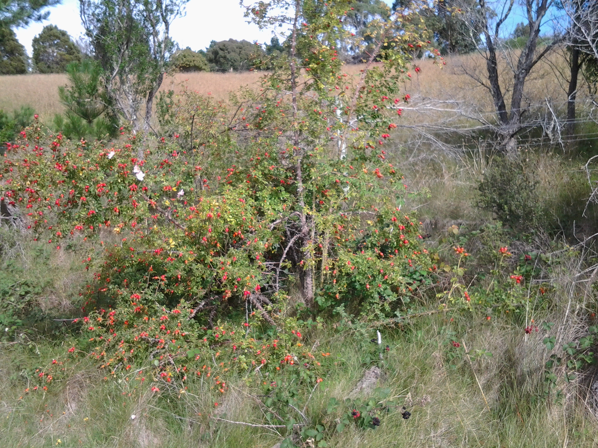
The closer I walked to Pearsons Point the more likely that Tinderbox Road was close to the River or I could see more of the River. Around 10.20am, while on a long and winding road (on which I considered breaking out into one of the Beatles favourite songs) which undulated so that I was walking uphill then downhill seemingly repeating this process ad nauseum, I was stopped by the beauty of a rose bush in its glorious rose hips stage. I took photographs at that point and in a number of roadside places in the following kilometres.

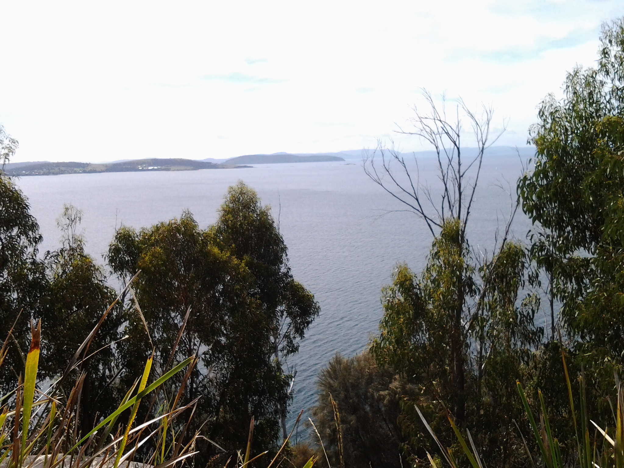
In the distance after climbing one hill, I looked back northwards to Lucas Point behind the steep rock edged bay of ‘Fishermans Haul’ (see photo below).
In the photo above, the far distant hill on the left is the Alum Cliffs between Taroona and Kingston. It gives you an idea of the distance covered in these walks. The other land is on the eastern shore of the Derwent River.
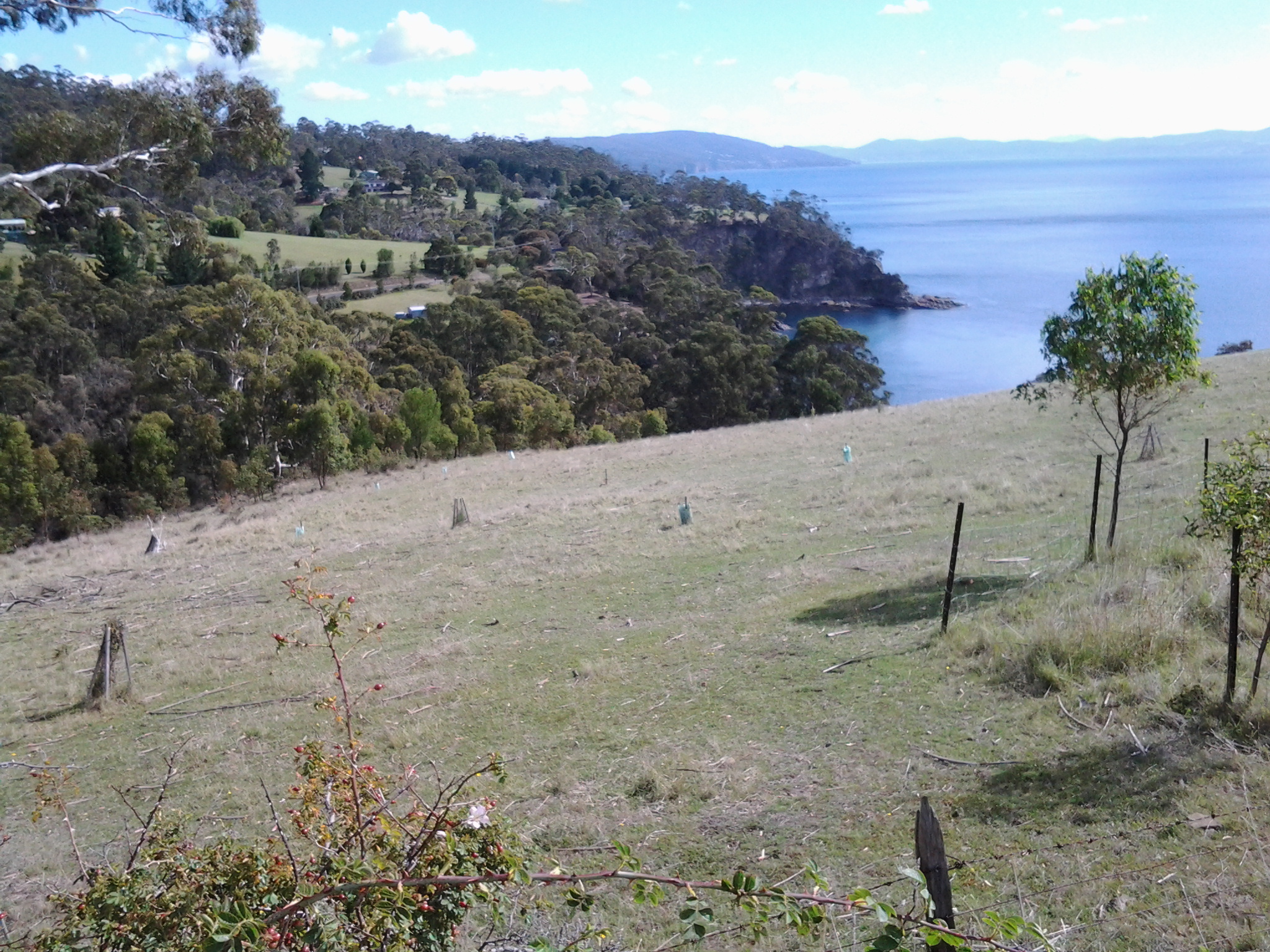
A little further along I was looking down on a disused farmhouse at what I believe was Passage Point. The photo below shows (green plastic protective shelters around new plants) new trees have been planted in the paddock. I saw such revegetation practices on a number of properties throughout the day.

Another photo looks across the Derwent River to the southern tip of the South Arm peninsula. The glistening white buildings are those of the Fort Direction defence services complex which I passed through on Stage 1 of my walk along the Derwent River.