Tag Archives: Hobart

Pushing on to the Tasman Bridge

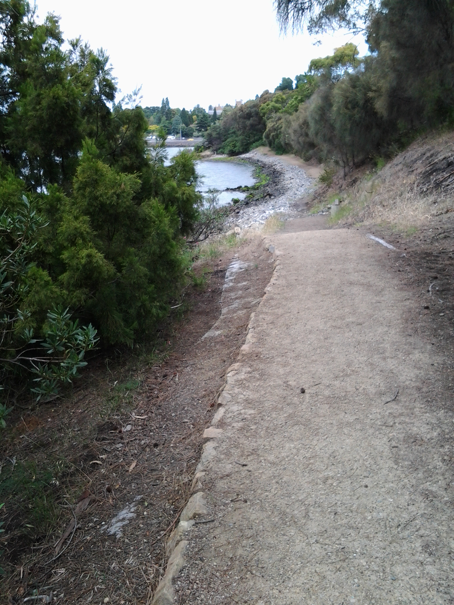
Leaving the delightful Cornelian Bay boatsheds behind, I followed the gravel track almost until I reached the Botanical Gardens at which time I walked up a slight rise and joined the concreted bike and pedestrian track that extends from Hobart to Claremont.  I could have walked from Cornelian Bay entirely on that pathway but it is not located as close to the waters of the Derwent River as the very smooth and wide gravel track.

20150109_150213  20150109_150750

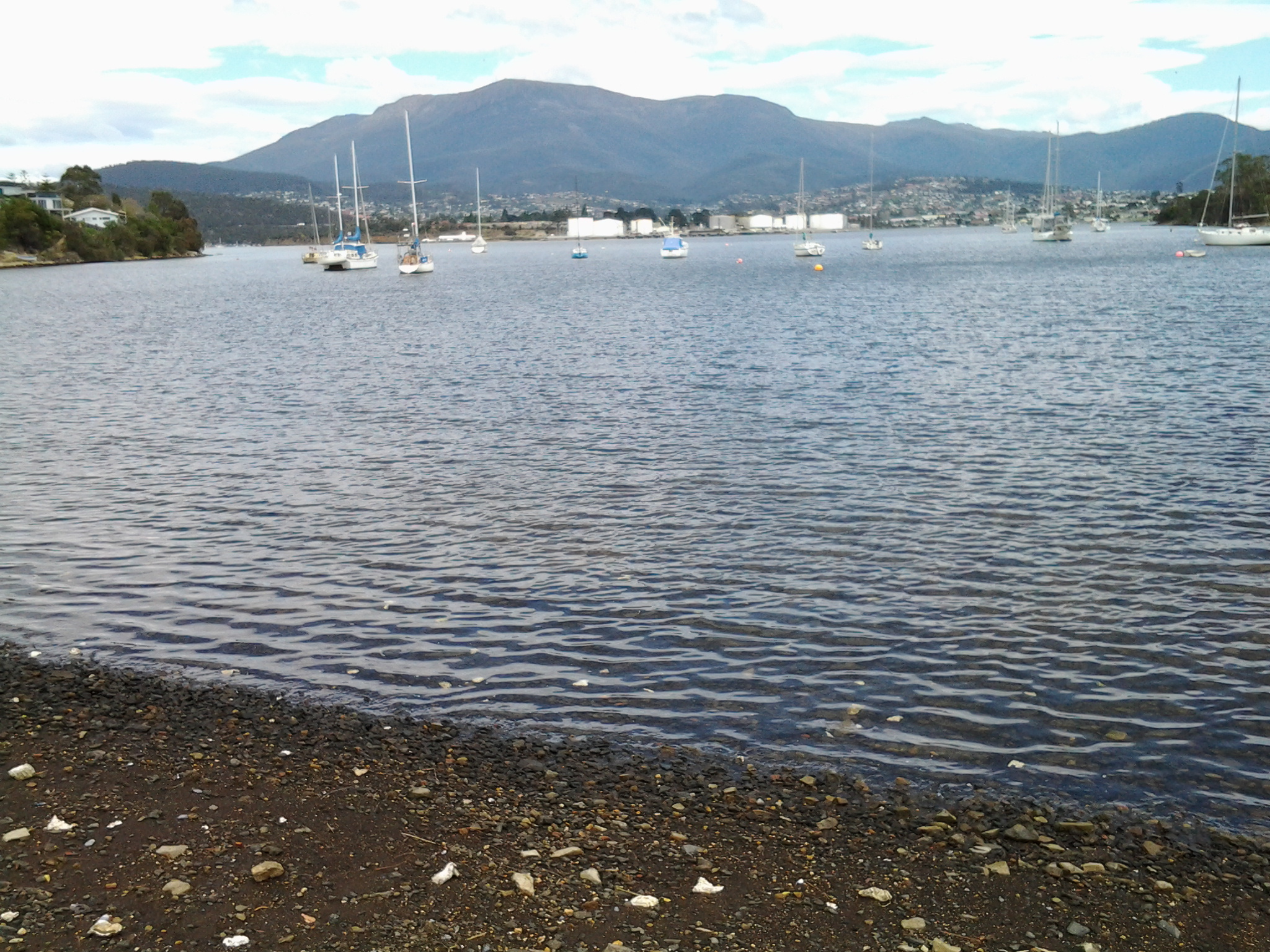
I enjoyed looking back to see markers of where I had walked such as the white oil tanks at Selfs Point

20150109_151815

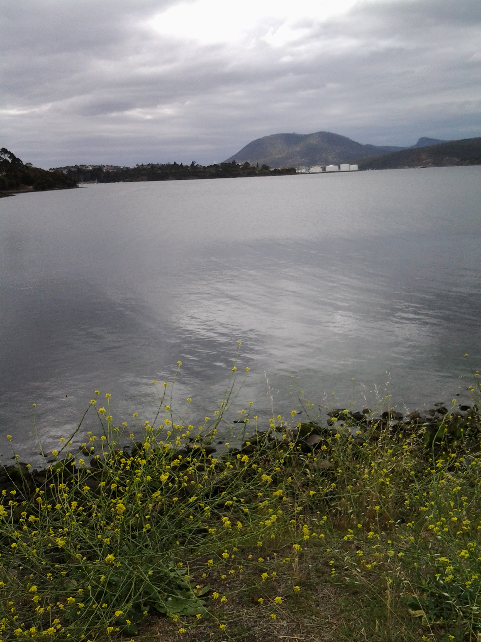
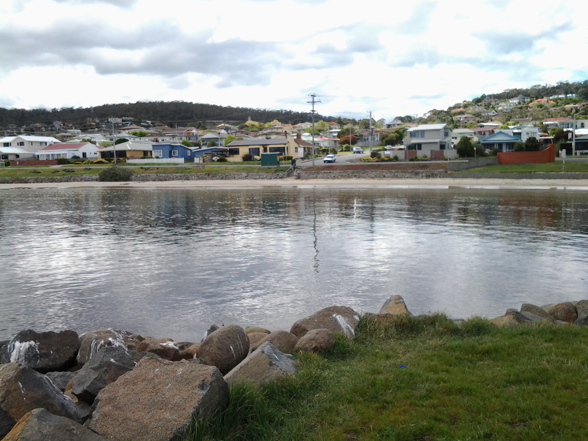
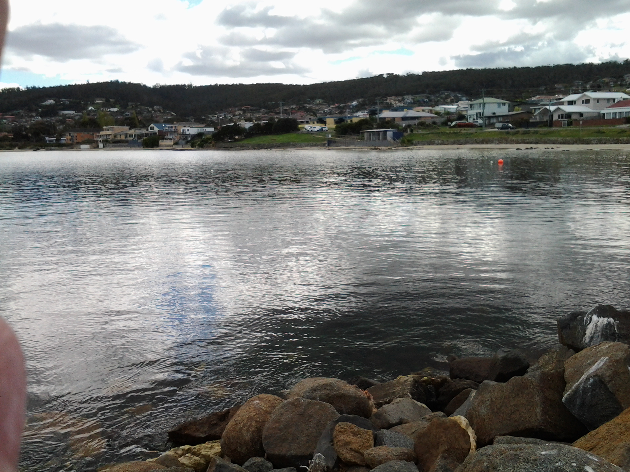
and across the Derwent River to Lindisfarne and Rose Bay which were tramped in an earlier stage of my walk along the Derwent River.

20150109_150743

The atmosphere on the track was gentle with the breeze softening through the casuarina trees. The sound of road traffic somewhere above me was audible but did not intrude in such a way that the sound of the water lapping onto the shore could not be appreciated.

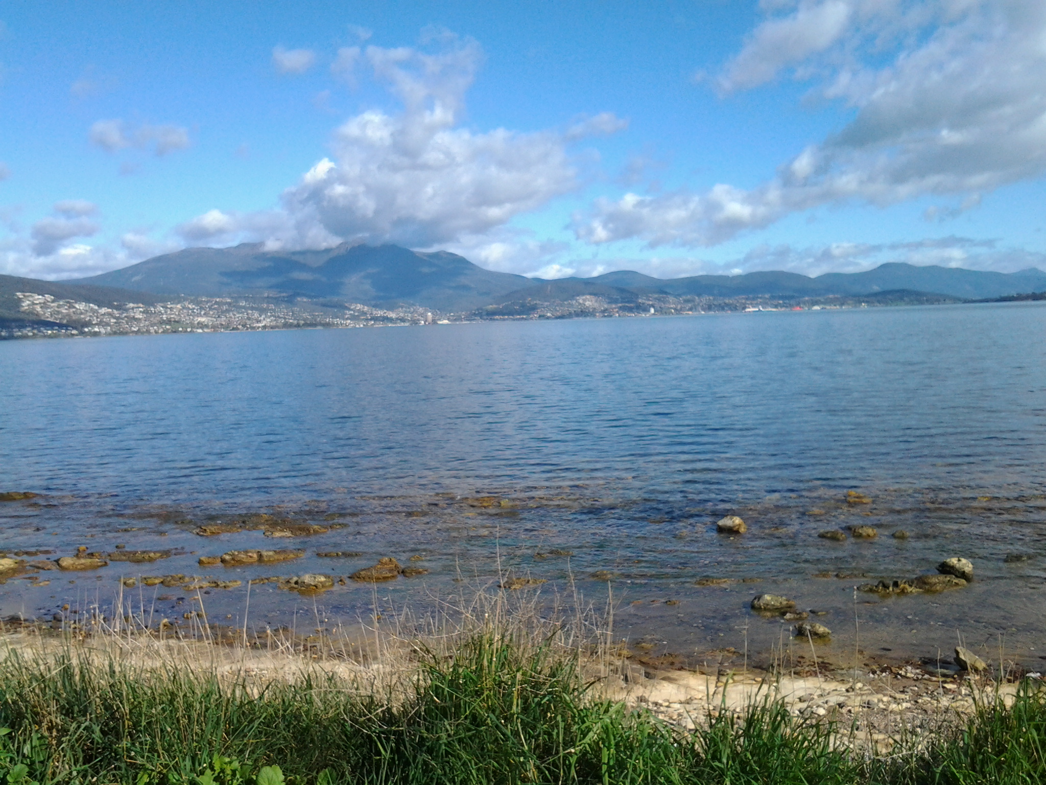
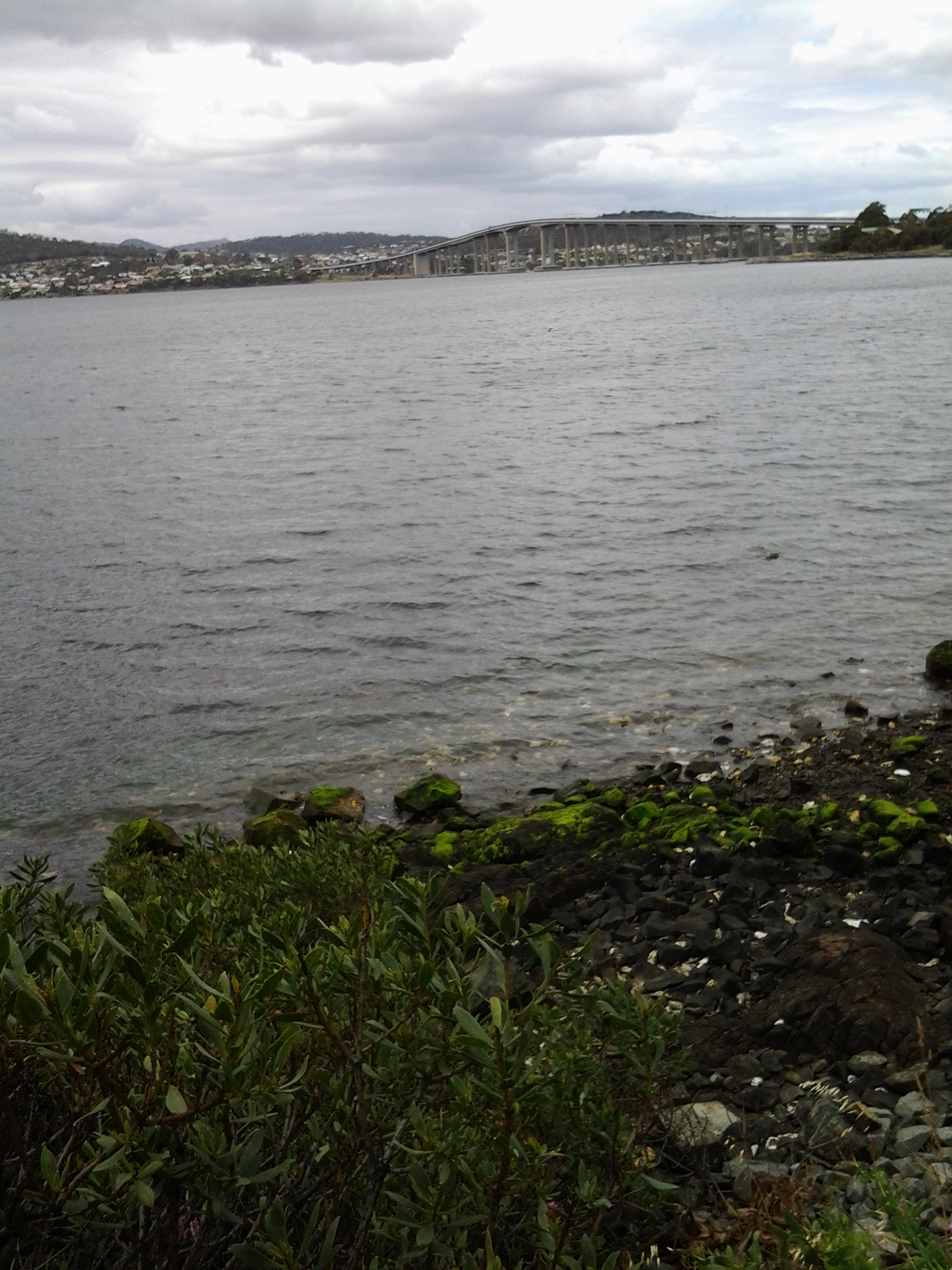
Gradually, the Tasman Bridge seemed to be growing larger the closer that I walked towards it.

20150109_150822

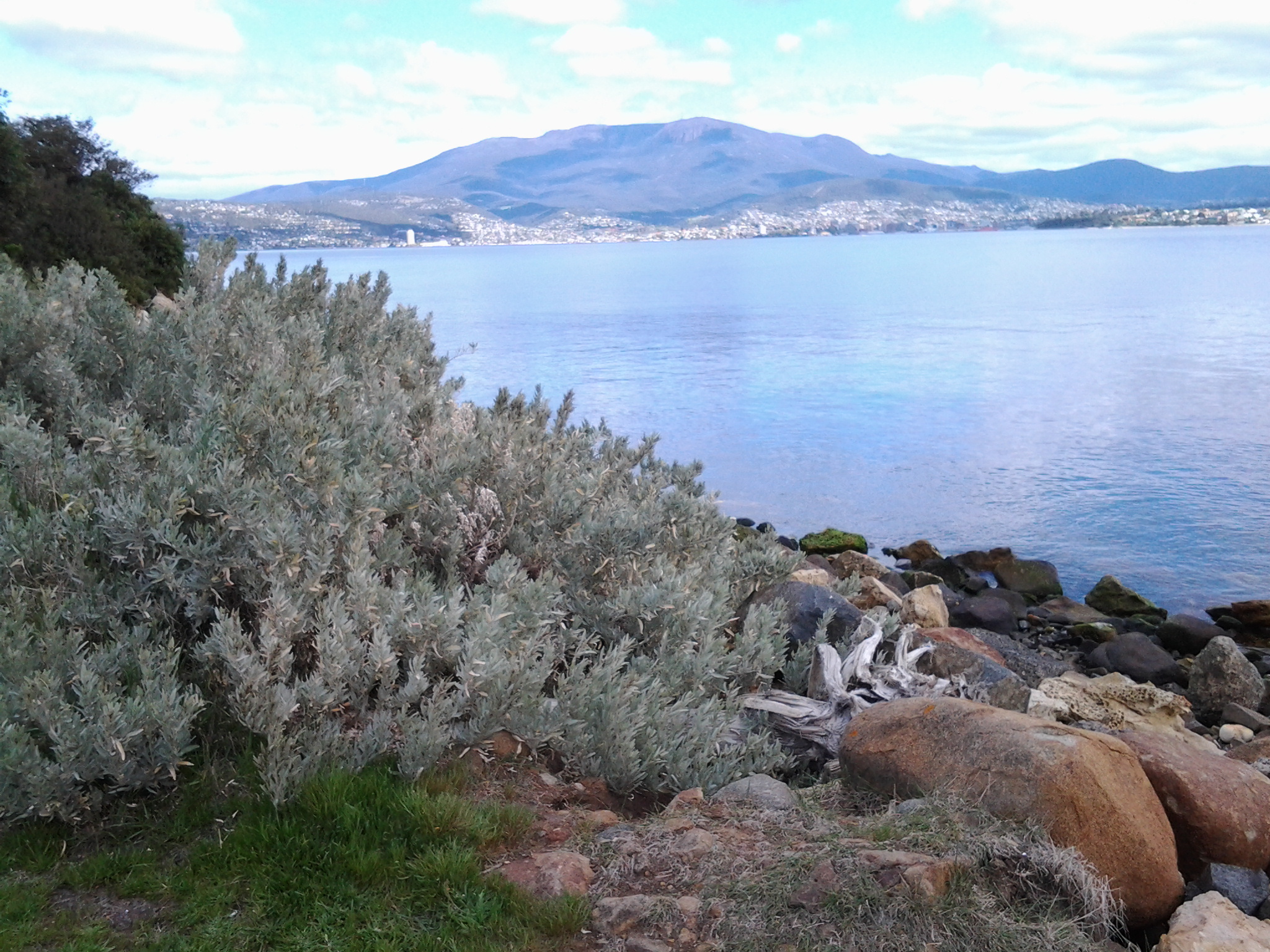
The photos below show the bottom entrance to the Botanical Gardens.

20150109_151715  20150109_151834

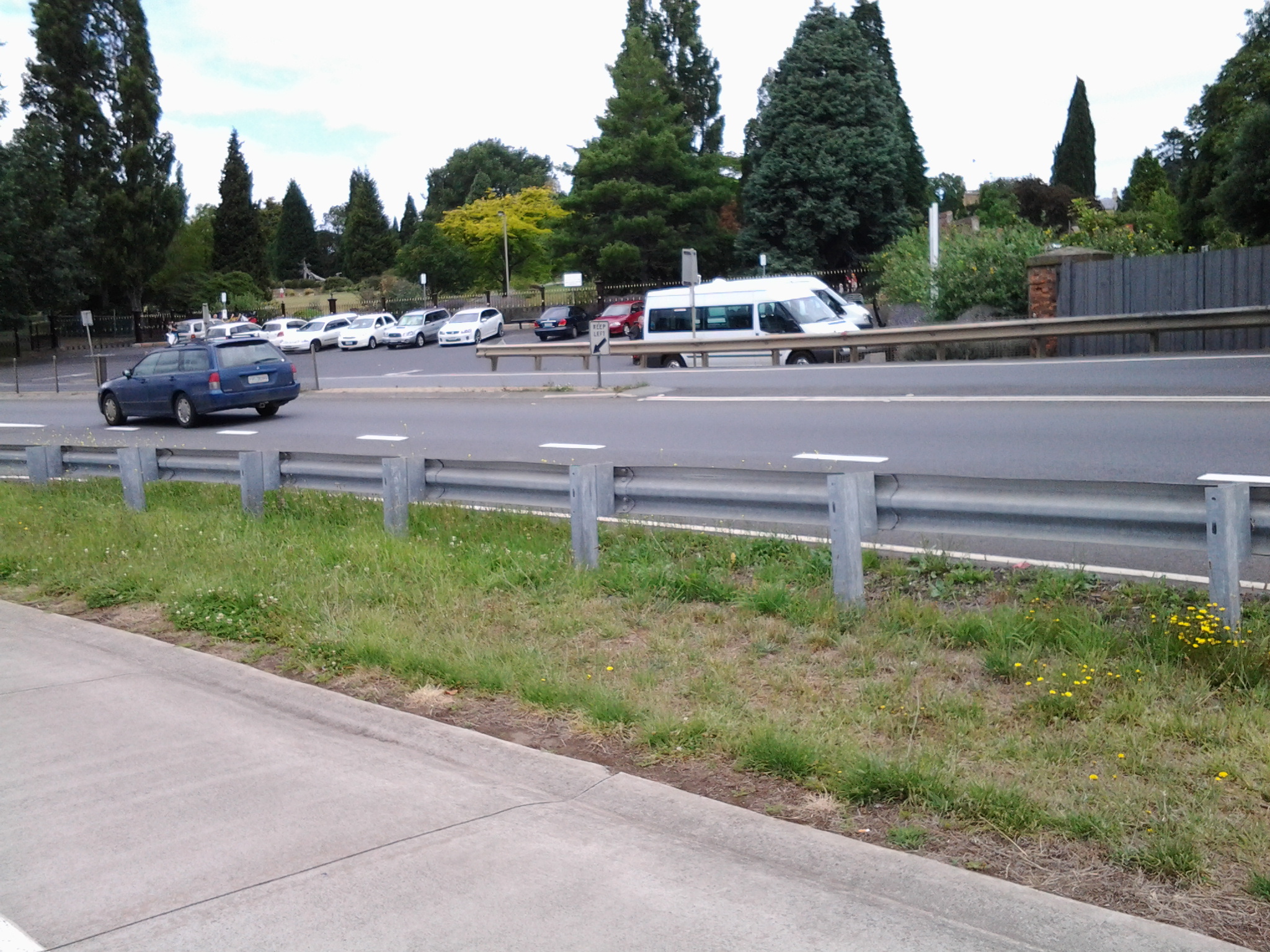
The bike path crossed to the left over the disused railway line opposite the entry to the Botanical Gardens at Pavilion Point. I followed that way at 3.15pm in order not to stay on the main road with mainstream vehicular traffic and no footpath.

I could have followed the tracks of fishermen through the grasses and scrubby trees to the foreshore and then walked through a weedy parkland and past the Mercantile Collegiate Rowing Club building. I did not take this route because it looked like the length of it was fenced off and I doubted I would be able to get back onto the road or path near the Bridge. My feet were sore and I was aiming to reach Hobart – I did not want to retrace my steps, and therefore I took the easy way out and stayed on the road.  However, once I reached the Rowing Club building I could see that an exit would have been easy because there was no fence or gate on the other side of the building.  It seems that the foreshore would have been easily walkable.

20150109_152513  20150109_152721

Until I reached the Tasman Bridge I walked on the edge of a road and shared this with cyclists, a jogger and the occasional van and car.  At 3.30pm I reached the Tasman Bridge and rejoined the bike path.

20150109_152804

Passing the Derwent Entertainment Centre brought back memories

Years and years ago, when I arrived back in Hobart after being away a while, I recall it was a very hot day and so I found myself sipping a cold beer in the Wheatsheaf Hotel in Davey St, Hobart.

As you do, I got chatting to a man at the bar and we both realised we were out of work and eager to find paid employment. In walked an arrogant man who mouthed off about dole bludgers and how he had lots of jobs but no one wanted to work. The stranger and I looked at each other and chorused ‘we do!’  This put the guy in an awkward position because I could see, in his body language, he did not think either of us would be up to any work on his construction site; the construction of the new Derwent Entertainment Centre. However, he had to save face and couldn’t say no to us.  I remember he threw obstacles at us but we countered each.

It was a Saturday when we met, and on the following Monday morning the stranger and I turned up on the construction site at 7.30am ready for whatever work could be thrown at us.

Mr Arrogant faced us with a new obstacle, one which he thought we could not overcome. He told us that we had to be paid-up union members even though he was only offering 2 day’s work initially otherwise we couldn’t walk any further onto the site. We made some calls and the stranger and I soon found ourselves sitting in the office of a Union boss having a comfortable chat. Accountability and compliance were not so important then, and unions had lots of unregulated powers and sometimes illegal behaviours. It is enough to say that the stranger and I returned to the construction site with our Union passes.

The Derwent Entertainment Centre is built on reclaimed land and eventually more land was built around the site for carparks, roads and walkways. At the time, the construction site was surrounded by water on three sides. Our job was to remove discarded construction material off the rocky shores and load into rubbish skips.  It was hard, heavy and constant work but it was an income albeit for a short while. Since I am female, the workers on the site found they needed to be able to see me all day and wolf whistle and carry on wondering how the stranger had found me and what the story was.  All immensely amusing to me. And the distraction was incredibly annoying for their foreman.

After finishing the two day’s work, we left a pristine set of rocks. We were not surprised that Mr Arrogant was unable to find any further work for us. All of us parted ways and moved on in our separate ways. I cannot remember what I did next. Guess it was not half as exciting as helping with the Derwent Entertainment Centre project.

Yesterday I completed Stage 10 of my sequential walk along the Derwent River

The goal for Stage 10 was to start at my last stopping point, MONA in the middle of Berriedale on the western shore of the Derwent River, and continue to Lutana the last suburb of the City of Glenorchy before the City of Hobart starts. But I went further.  Much further.  Almost much further than my feet could take me.  I walked to Hobart.

Over future posts I will write up the stories of the walk, what I saw and what I experienced, but for now it’s enough to say that I am continuing with this massive project to walk both sides of the Derwent between the mouth and Bridgewater, and then onwards to Lake St Clair. Once I get walking it is always so addictive.  Even when my feet feel crippled, I say to myself … ‘go just a little bit further. What else will I be able to see with fresh eyes?’

The day was gloomy with a cloudy sky, and Mount Wellington had veils of clouds covering at least part of its prominence most of the day. But it didn’t rain and so was perfect for walking.  However, the weather ensured the photographs were without sunshine.

Yesterday I covered 12 kilometres of the length of the Derwent River on the western shore (making 22 kms in total on the western shore), and walked approximately 19 kilometres (making a total of 130 kms to date) to achieve that distance. This distance also takes in the streets and paths on which I walked that led to dead ends so that I needed to retrace my footsteps.

Of the many highlights of the walk, I saw the building that once started life as Rosetta Cottage, and powerful Clydesdale horses with their large hairy feet.

20150109_162649

I surprised a friend still in pyjamas when I went visiting for the first time in my walks. The hot cups of tea were most welcome.

I am always excited when I walk the striped edged boardwalks of GASP (Glenorchy Arts and Sculpture Park) or pass the boatsheds of Cornelian Bay and it was no different yesterday.  See the photos below for a taste of the colour.

20150109_084404  20150109_145335

I very much enjoyed looking at the eastern shore where I had walked during past stages and seeing the landscape from a different perspective.  I felt it made the Greater Hobart Area seem undeveloped in a way which is quite amazing for a capital city. For example, Bedlam Walls on the eastern shore from the western shore of the Derwent River, in the photo below.

20150109_123940

From comments I have received, I know my walks are inspiring others to think about what they might do. Even if you choose not to walk, perhaps you can set yourself other challenges.

My next walk will start at Hunter St at Sullivans Cove on the wharf in Hobart and probably extend to Kingston.  But before then I need to record the details of yesterday’s walk.

How common is the name Otago and what is its history?

How did Tasmania come to name its Otago Bay, one of the suburbs in the broader Old Beach area, on my planned Stage 7 of the walk along the Derwent River?

On the Clarence City Council site at http://www.ccc.tas.gov.au/page.aspx?u=1085, Otago Bay was named after the iron barque the Otago, the remains of which can still be seen on the shoreline of Otago Bay. Wikipedia reports that the remains of the Otago (beached in the Bay in 1931) and a steel river steamer the Westralian (beached in 1937) can both still be seen on the beach. The Otago was dismantled at a shipbreaking establishment that operated at the Bay between the 1920s and 1960s. Some excellent current photos of the remains of the Otago can be seen on http://pacific-edge.info/2014/01/otago/.  I look forward to clicking my own photographs later this week.

At http://www.nzgeographic.co.nz/archives/issue-78/joseph-conrads-ship, I learned the Otago was commissioned by Captain Angus Cameron and built by Alexander Stephen & Sons, Glasgow, Scotland. Once in Australasian waters, the Otago was used as a regular carrier of coal from Newcastle, New South Wales Australia to New Zealand’s city of Dunedin in the early 1870s.

The Otago page on the Parks and Wildlife Service website http://www.parks.tas.gov.au/index.aspx?base=1793 explained that the Otago was a three masted ship built in 1869. In 1872 the barque was transferred from Glasgow to Adelaide, South Australia. The Otago‘s chief claim to fame is that the vessel was the only command of the famous Joseph Conrad during 1888-9 (Conrad became a well-known novelist using some of his mariner experiences, after he gave up sea faring in the mid-1890s).

The vessel arrived at Hobart in July 1905. In January 1931 the Otago was sold to a local shipbreaker and towed to its present location in Otago Bay. The hulk was partially dismantled for scrap metal in 1937 and more completely in 1957. The bow of the vessel rests on the shoreline with the stern lying in approximately two metres of water. The iron hull has been cut back to the waterline and the bow and stern have disappeared entirely. The remains can easily viewed from the shore as the interior of the hull and the surrounding area contain a quantity of debris that make closer examination hazardous. The photo below, of the Otago, is from the parks and wildlife website.

Otago 1900 Adelaide

The Otago at Port Adelaide, c.1900 (in the collection of the Archives Office of Tasmania)

The photo below, dated a decade later, is also from the collection of the Archives Office of Tasmania.

Hulk Otago 1910

Hulk of the Otago, c.1910

That is all well and good. We know our Otago Bay was named after a boat that was dismantled in its Bay. But what does the name Otago mean?  How did the boat get its name?

Otago, a well-known region in the southern island of New Zealand, was settled by people from Scotland starting in 1848. Many people believe the name ‘Otago’ is a European corruption of the Maori word ‘Otakou’ which translates as ‘village’. It may be fitting to refer to our Otago Bay as a village because its population only numbers a few hundred and it is isolated from other suburbs by the natural landscape. However, there seems to be no connection between our Tasmanian Otago Bay and with Maori culture (although perhaps some New Zealanders live there – I don’t know).  More than one boat was built in Scotland and named Otago in the second part of the 19th century, so the impact of the Otago region in New Zealand on Scotland was significant.

The founder of the Otago settlement in New Zealand, William Cargill, died in 1860 and a Tasmanian sandstone monument to him was built in Dunedin in 1864. Why Tasmanian sandstone? According to http://freepages.genealogy.rootsweb.ancestry.com/~nzbound/otago_bdm1860.htm, son John Cargill stopped by Tasmania in 1841, before he helped his father to settle in Otago.  Did John collect some local sandstone during his visit? If so, what an extraordinary thing to do considering the Otago ship eventually had its resting place in the Derwent River.

Bus routes and public bus services are a great help to me as I walk along the Derwent River

Today’s TasWeekend insert magazine in The Saturday Mercury newspaper included a piece by Bushwalking enthusiast John Cannon. From the content of his article, it suggests to me that he may have been reading my walking the Derwent River blog, particularly when he talked about the possibilities for accessing walks amongst Hobart suburbs by using Metro bus services. I am sorry the address for my blog was not included in the article as an incidental extra to encourage more locals  to follow in my footsteps. I wonder whether one day I will find John Cannon getting off the bus when I do at one of the walking stage starting points.

Metro bus timetables are located on http://www.metrotas.com.au/. The bus below is travelling in the centre of Hobart (image is from www.totallysouth.com.au)

metro-bus-service

Walking from Lindisfarne to Geilston Bay along the Derwent River last Friday

Gask

Talune St, Lindisfarne ended at the edge of the Derwent River, so I turned right to follow a pathway. At 11.45am the pathway continued along an extension of Paloona St before changing back into a shoreline Trail. Further on and next to the Clarence Foreshore Trail, an attractive weatherboard house named ‘Gask’, with an expansive enclosed verandah framing extensive Derwent River views, attracted my attention. Apparently this home was built in 1900 as a holiday residence for Dr William Crowther (but more research required confirming this because birth dates and the house dates do not make a suitable match). The property, originally named Villa Rose was renamed Gask, although I can find no explanation for this name. In 2010, the house was sold for over ¾ million dollars.

The Trail continued past the sweeping Koumala Bay where I watched the camouflaged catamaran speed past carrying its cargo of visitors from MONA to the city.

20141010_114355

In the photo below I have almost walked to Limekiln Point and the headland in the distance is Bedlam Walls Point. Limekiln Point is the southern location which corresponds with the northern Bedlam Walls Point across the other side of the gap where the Derwent River meets the waters of Geilston Bay.  At Limekiln Point I saw no remnants of any limekiln. Apparently Geilston Bay was initially named Lime Kiln Bay, so perhaps the lime works were centred around the curve of the Bay (more research required).

20141010_115251

Bedlam Walls Point will be the official starting point for Stage 6 of walk along the Derwent River.

My first view into Geilston Bay looked as follows:

20141010_120134

Closer to the Bay, my views included the following image which shows the walking track on the other side which I will follow in Stage 6 of my walk along the Derwent River:

20141010_120139

At midday, approximately 1km of my walk to the Geilston Bay Regional Park remained. The Trail became a gravel track, and while parts of the track earlier would have been suitable for someone using a wheel chair or crutches, much of the last 1000 metres of the track was better suited to mountain bikes, despite not being very hilly. Gardens cascaded down to the edge of the path and private uphill stony stairways ended in gates and fences. Jenny Wrens flitted through the undergrowth. Raucous sulphur crested cockatoos flew  screeching overhead. Colourful. Tranquil. Glistening light. Far from the maddening crowd (with apologies to Thomas Hardy). A perfect day.

I appreciated the skill in building a dry stone wall.

 20141010_120126

Sighting the first massive almond tree filled with growing fruit was a surprise, and then when I saw a few more I was amazed. Obviously, these were self-seeded and reseeding.  All growing between the Trail and Geilston Bay’s water edge.  I wonder when they will be ready to pick and eat.  Perhaps December or January?  Since they grow on public land, it will be a matter of first in first served.

Eventually the gravel pathway met with a formal Foreshore Trail and I continued around the Bay until I spotted a bench on the grey weathered wharf in front of the Geilston Bay Boat Club.  It was time to enjoy the view of Geilston Bay, Hobart city beyond and the ever present Mount Wellington.

20141010_120820

Friday’s walk was an easy simple experience and since it passed places, streets, and vistas I had never seen before, I loved it all.

The navy comes to town

From my home overlooking the Derwent River, on this grey overcast wintry Thursday around Hobart, I have just watched a small grey green naval ship charging up the Harbour accompanied by two tugs.  According to TasPORTS, the HMS Arunta was due to arrive at midday and it is now midday as it is edges along MAC4 wharf ready to moor. This perfect timing gives me great confidence in our Royal Australian Navy. Apparently HMS Arunta will depart on Monday at 10am.

HMAS Arunta (II)

When I checked the Royal Australian Navy website (http://www.navy.gov.au/), it referred to the historic ship, the HMAS Arunta (1) and provided information about the HMAS Arunta (II) (the ship which I have watched this morning). Apparently the HMAS Arunta (1) had a long history including action in World War II, was decommissioned in 1956 before sinking off the coast of NSW in 1969 having been sold for scrap.

The HMS Arunta (11) is a Frigate Helicopter (FHH) ship known as part of the Anzac class. Anzacs are long-range escorts with roles including air defence, anti-submarine warfare, surveillance, reconnaissance and interdiction.The ships are capable of countering simultaneous threats from the air, surface and sub-surface. Each Anzac frigate is fitted with an advanced package of air surveillance radars, omni-directional hull mounted sonar and electronic support systems which interface with a state-of-the-art combat data system.

The name “Arunta” comes from the Arrernte Aboriginal people (also spelt “Arunda” or “Aranda”) located in central Australia. Selection of the Arunta name and original motto ‘Conquer or Die’ recognises the ship’s proud history and the ongoing and special relationship with the ARRERNTE Aboriginal people. To maintain the warm and special bond between HMAS Arunta and the Arrernte people the Arrernte Council presented HMAS Arunta with a flag displaying a Perrente lizard. The lizard is an animal from the dreamtime for the Arrernte people. HMAS Arunta also sponsors a Perrente Lizard, the ships mascot, at Perth Zoo, Western Australia.

The five suburbs to be walked through in Stage 5 of my walk along the Derwent River

From Rosny Point to Geilston Bay, I will walk as close to the edge of the Derwent River as possible.

In so doing I will pass through five suburbs: Rosny, Montagu Bay, Rose Bay, Lindisfarne and Geilston Bay. Most were settled early in the existence of Hobart Town. In 1793, Lieutenant Hayes sailed up the River naming it and many points of interest. It was only a decade later the first settlement was made and in 1804 the final site for Hobart was established on the western shore opposite Bellerive and Rosny. Possibly Geilston Bay was named in the 1810s, Rosny in the 1820s, Montagu Bay in the late 1820s. Lindisfarne was named a century after the first settlement in 1903.

Rosny

The starting point for the 5th Stage of my walk along the eastern shore of the Derwent River will be Rosny Point. The suburb of Rosny, within the City of Clarence, is located on a narrow peninsula which juts out from the eastern shore at Rosny Point and climbs the rising slopes of Rosny Hill to the public Rosny Point Lookout.

According to one of my favourite information sources Wikipedia, Rosny was named by Walter Angus Bethune, the holder of the original grant of land on Rosny Point, after his ancestor the Duc de Maximilien de Bethune Sully of Rosny-sur-Seine  (a town situated slightly north west of Paris in France).  Bethune, a Scottish merchant, first arrived in Van Diemen’s Land in 1820 and was a significant player in the early development of Hobart and sheep farming. His descendants have played important roles in Tasmanian history.

Jean-Baptiste-Camille_Corot_-_Château_de_Rosny

Chateau de Rosny was painted by French artist Jean-Baptiste Camille Corot in 1840

Montagu Bay

This suburb was named after ‘mad’ judge Algernon Montagu, who in the early 19th century lived in Hobart Town before purchasing a property ‘Rosny’ in the Montagu Bay area of the eastern shore of the Derwent River. This small suburb sits on the river edge next to Rosny Point/Rosny and contains the Clarence Aquatic Centre and Montagu Bay Primary School. The Tasman Highway travels over a northern corner section of this suburb, leading to the Tasman Bridge which links the eastern Shore to Hobart and beyond on the western shore.

Rose Bay

The suburb of Rose Bay sits on the river edge next to Montagu Bay.

Rose Bay High School has a permanent camera facing across the Tasman Bridge over the Derwent River towards the centre of Hobart and with the back drop of Mount Wellington. Normally the site operates 24 hours of the day and night. The site is located at http://ozforecast.com.au/cgi-bin/weatherstation.cgi?station=11233&animate=6. Currently the site is being rebuilt, however I recommend you follow the progress and when re-established, save the site as a Favourite. Then you can see what the weather is like over Hobart and how gorgeous it can be to look at regardless of the weather in daylight and with the city lights sparkling at night.

Lindisfarne

While the exact origins of naming our Lindisfarne suburb remain unclear, the main thought is that from 1892 the suburb was known as Beltana. Then it was renamed Lindisfarne in 1903 after Lindisfarne a tidal Island (Holy Island) in Northumberland, a region in the far north east of England. The easternmost part of the middle of the suburb, where the Beltana Bowls Club and the Beltana Hotel are located, is still locally known as Beltana.

It has been suggested this suburb took its name from Lindisferne House, a property built in the 1820s near the suburb of Rosny. From the Clarence City Council website at http://www.ccc.tas.gov.au/page.aspx?u=1601 “Lindisfarne is thought to have been named by Hezekiah Harrison, a free settler, who was granted land in the area in 1823. Harrison had lived just a few miles from Lindisfarne Island, on the Northumbrian coast. Known as the ‘Holy Island’, Lindisfarne was the base from which St Aidan worked to spread the Christian faith through the north of England in the eighth century AD. However, it is unclear whether the area was named by Harrison or the next owner, Thomas George Gregson, a prominent free settler who purchased much of the land between Risdon and Rosny. Gregson grew up in Lowlynn, very close to Lindisfarne Island in England.”

Geilston Bay

Apparently the inlet of Geilston Bay was named after Colonel Andrew Geils who was appointed Commander of the settlement of Hobart in 1812. Colonel Geils lived on a property in Geilston Bay which he called ‘Geilston Park’.

Bellerive

Last Friday/Saturday the fourth stage of my walk along the Derwent River finished in Bellerive. Being curious to know a little history of this Hobart suburb’s existence, I discovered it was first settled in the 1820s after years of people ferrying across the Derwent River from Hobart Town. Its first name was Kangaroo Point.  No prizes for guessing why.  Apparently the area abounded with native kangaroos (and/or perhaps the prolific Bennetts Wallaby which is often referred to as a kangaroo).

The name changed from Kangaroo Point to Bellerive around 1830, using the French language as inspiration: bel = ‘beautiful’ + rive = ‘bank’.

However, its original name seems to have been retained in common usage, because two eminent artists of the 19th century produced art work located from Kangaroo Point. The renowned English artist John Glover painted Mount Wellington and Hobart Town from Kangaroo Point in 1834, and the Austrian artist Eugene von Guerard, who was active in Australia in the middle of the 19th century, created a colour lithograph Hobart Town, from Kangaroo Point, Tasmania in the late 1860s.

The Glover painting is at home in the Tasmanian Museum and Art Gallery in Hobart.  This picture interests me because some of the original indigenous land owners, the Moomairremener people, have been depicted on the banks of Kangaroo Point, and there is very little sign of the ‘civilisation’ of Hobart Town on the other side of the Derwent River.  By contrast, 30 odd years later von Guerard’s print shows considerable build-up of Hobart Town beneath a snow capped Mount Wellington.

John Glover- from Kangaroo Point towards Mt W and Hbt Town

The von Guerard lithograph is at home in the National Gallery of Victoria in Melbourne.

Von Guerard Hbt Town from Kangaroo Point

These days, Bellerive is a suburb of the Greater Hobart Area completely covered with streets and houses of every vintage. With its easy access to excellent sandy beaches, a vibrant village shopping centre, the regular presentation of fantastic free public festivals, and safe marina, Bellerive is a great place to live or visit.

Kangaroo Bluff Historic Reserve and Bellerive Fort

Near the end of my Stage 4 walk from Tranmere to Bellerive Bluff along the Derwent River, I saw a sign pointing to the Kangaroo Bluff Historic Reserve which I chose not to visit. However, my curiosity was aroused. So the next day, last Saturday, I made a special trip and walked to the Reserve to find out more.

20140927_091124

As I walked toward the entrance, I was puzzled. I could see a narrow road passing between two raised hills. On closer inspection when I discovered a massive deep and long ditch from the left to the right outside the stone edged wall of earth, clearly this site was the remains of a fortification.

20140927_091051

The site was a battery complex with underground tunnels and chambers for magazines, stores, the lamp room, a well and loading galleries. The public do not have access to the underground since these parts were bricked up in the 1920s: I would have been very interested to see the speaking tubes set into the walls used for communication purposes.

However there are many metres of well-preserved channels which can be walked in and around.

20140927_090522

20140927_090924

Signage provided useful information. I now understand that the idea of a protective Fort was first discussed in the 1830s as a means to protect the merchant ships travelling up the Derwent River, although I am unclear who might have attacked from the sea because Van Diemen’s Land (now named Tasmania) was very isolated from the rest of New Holland (now named Australia). However, it was not until difficulties were being felt between England and Russia in the 1870s that a renewed push for a Fort was made.

20140927_085957

By 1885 the defensive Fort was built – although I cannot imagine why anyone would think that Russia would believe it useful to send a war ship to the tiny colonial and penal colony in Hobart. It does not surprise me that the two canons were never used as war weapon.

20140927_090533


Enjoying Little Howrah Beach on Stage 4 of my walk along the Derwent River

It was a relief to arrive at the calm peaceful Little Howrah Beach, after the constancy of the rock hopping stage around Howrah Point.  Looking back in the direction from where I had walked, the photo below shows my view across five kilometres of Derwent Harbour towards Mount Wellington and Hobart city beneath.

20140926_104157

I sat on a boulder and comfortably munched on some morning tea snacks.  The serenity of this Beach was remarkable.

20140926_104110

Across the road from the Beach I could see a tiny shopping centre: including a newsagent, pharmacy, hair salon and paint shop.  Public Toilets were located closer to the northern end of the Beach.

20140926_104118

Once walking again, the end of the 200 metre sandy beach was reached quickly and I picked a path through a short cluster of rocks before coming again onto the sand.  At this point I had choices; I could walk up to the Shoreline Shopping Centre for a drink or continue along the 1.2 kilometre Howrah Beach.

Taking Bus 615 to Tranmere last Friday – Starting Stage 4 of walk along Derwent River

Having travelled across the Tasman Bridge, through the Eastlands bus mall near the shopping centre, and onwards, the bus takes the main route along Clarence Street. Along the way a sign marking the Clarence High School, established in 1959, looms large on the right. The 8.23am bus typically will carry a swarm of students who will jump off at this point and then the bus may quieten for the remainder of the trip.  But others will jump on after desperate running and laugh as they fall onto the bus with eyes sparkling from the exertion. Bus trips can be alive with life being expressed in all sorts of ways.

By 8.44am the bus pulled in at the Shoreline Shopping Centre mini bus mall.  Once moving again, the bus run goes the other way to a stream of traffic heading towards the city centre. Moving down the hill, and near bus stop 19, the bus passes the Howrah Primary School located across the intersection diagonally from the Shoreline shopping centre, and a Shell fuel service station which is located on the opposite corner. Further down, the bus passes The Sunshine Tennis Club and the Howrah Recreation Centre including the Guide Hall. Near bus stop 20, a Caltex fuel service station and a suite of small shops is located on the right with the Howrah Beach beyond.  It’s not long before, as a passenger, I am greeted by stupendous views of the Derwent Harbour, Hobart city on the western shore, and the all-powerful Mount Wellington peering over all.  Soon after the bus turns left into Tranmere Road, I noticed Tranmere Hall on the right, and then a little later near bus stop 23, I saw a sign designating the Tranmere Coastal Reserve and a nearby public walk way down to the Derwent River.

After passing Anulka Park at bus stop 25, I continued on and left the bus at stop 31 at 8.53am.

Yet again I was fortunate that the day was magical. As I crossed the road to stand next to the serene Derwent River, I listened to the lyrical lapping of soft tiny waves across the rocks.  Silver gulls were floating languidly. A lone Pied Oyster Catcher was watching and waiting. Fluffs of cumulus cloud like fairy floss hung suspended in front of the mountain.  Cabbage butterflies flew through the long grass. Orange flowering nasturtiums climbed through bushes edging the shore.

I soaked in the grandeur of the environment and prepared to start the walk – this fourth stage of my walk along the Derwent River.

20140926_085649

My route for Stage 4 walking along the Derwent River

Yesterday’s route took me from Tranmere to Bellerive on the Derwent River’s eastern shore of the Greater Hobart Area.

  1. I caught the Number 615 bus to Camelot Park and got off at bus stop 31 in Tranmere just before 9am. The bus continued onto it final stop 31, while I crossed the road to look down on the rocky foreshore, before striding out along the concreted Clarence Foreshore Trail (CFT) back towards the city.

20140926_085658

  1. When I reached bus stop 29, public toilets were located next to the Trail. I continued along the Trail to the left on a gravel path separating the rocks and water from the back yards of houses lining the river. Fifty odd minutes after leaving the bus, and after passing Punch’s Reef and Anulka Park, I arrived at a significant curve in the Trail. At that point it seemed to be returning up to the roadway for continuation on a concreted pathway next to Tranmere Road.
  2. Instead I walked on northwards, next to the river on a grassy terrace but was eventually forced down onto the rocks of Howrah Point. Fifty minutes later I arrived at the southern end of Little Howrah Beach where I sat and ate some of my lunch. I would not recommend followers take this route because when the tide is in, some rocks will be impassable. At other times some uncovered rocks will be slippery with moss. In addition, there are overhanging prickly bushes which will scratch if you follow this way. I suspect staying on the Clarence Foreshore Trail would have taken half an hour or more off my walk.

The photo below shows the tranquillity of Little Howrah Beach.

20140926_104107

  1. Half way along the road next to the Little Howrah Beach is bus stop 21. Close by are public toilets.
  2. It took 6 minutes to walk the length of this short beach, a minute to walk over a tiny rocky shoreline, and then 30 minutes to walk the long Howrah Beach. The photo below shows the Howrah Beach. Second Bluff is the treed area at the end of the beach.

20140926_105721

  1. From Howrah Beach, I walked up and around the Second Bluff headland on a well-marked path (the rocks below would be impossible to walk around) and arrived at the start of the Bellerive Beach approximately a quarter of an hour later. The leisurely stroll along Bellerive Beach took about 30 minutes. The photo below was clicked looking back along Bellerive Beach after my walk was completed.

20140926_121521

Near this end of the beach a large football and cricket ground is evident through the trees.  Between this ground and the beach you will find public toilets.

  1. I took the stairs at the northern end of Bellerive Beach up onto Victoria Esplanade, turned left and followed the road around Kangaroo Bluff to Bellerive Bluff where this fourth stage of my walk along the Derwent finished.

This Bluff marks the point where the small Kangaroo Bay opens off tto the east of the Derwent River. Northwards across the water I could see Rosny Point which will be the starting point for the next leg of this journey.

20140926_123316

On the other side of the river, the city centre featured prominently below Mount Wellington.

20140926_123103

A number 608 bus runs through this part of Bellerive and continues onto Hobart. Alternatively, if you continue walking along the edge of Kangaroo Bay, then through the Bellerive Village onto Cambridge Road, buses can be hailed to stop at Bus Stop 8 for travel into Hobart city.

How much of the Derwent River have I walked?

I strolled very slowly for almost five hours. If followers choose to stay on the Clarence Foreshore Trail and are not as engaged as I was in making notes and taking photographs, I believe this walk will take a comfortable 3 and a half hours including snack breaks. In total, I probably walked about 10 kilometres because of the convoluted nature of the Howrah Point rocks and other non-Clarence Foreshore Trail pathways which I followed from time to time.  In relation to meeting my goal to walk the 249 kilometre length of the Derwent River, I gained another 4 kms; the total distance covered so far is now 19.5 kilometres.

Stage 4 of the walk along the Derwent River will happen tomorrow

Tomorrow, Friday 26th September will be marked by my fourth walk along the Derwent River.  The first two stages were on the South Arm Peninsula from Cape Direction to Gellibrand Point, and the third walk covered a little territory from Trywork Point to mid Tranmere. Tomorrow I will take up where I left off. This means I will be taking the Metro bus, number 615 which leaves the Hobart City Bus Mall at 8.23am for Camelot Park and travels through Bellerive and Howrah to bus stop 31, the starting point for the walk. The direction I will take will be northwards through the last part of the suburb or Tranmere and into Howrah. My intention is to walk the length of the Howrah Beach, then the Bellerive Beach and beyond. The weather and my feet will be the factors controlling the distance.  There is a 10% chance of rain so I will be unlucky if any drops fall while I am out and about.  All in all this means it should be a great day for anyone to be out and about and enjoying our gorgeous spring weather.

Stage 3 Continuing the Derwent River walk 20 September 2014 Posting 5 of 6

Leaving the Derwent River edge, I walked up the concrete path to Vaughan Court in Tranmere, turned left, walked until I reached the T junction with Oceana Drive, turned left and then followed the suburban footpath back in the direction of the original bus stop.  From the bottom of the concrete path until I reached that bus stop, it took approximately 15 minutes.

I turned left down into Tranmere Road. Three minutes later, when I reached Pindos Drive, a No Through road, I turned left and followed it to the end and arrived at midday. This road ending named Tranmere Point, is marked by Pindos Park, an area with children’s play equipment, seats to admire the views, and places to enjoy a family picnic. Locals were walking and cycling.

I looked southwards and could see that Pindos Park was another possible starting place for a walk to Trywork Point. The soft grassy track between the houses and the River was wide and clear and continues around until a connection is made with the track to the gate at the beginning of the small pebble beach.

20140920_120305

This photograph is taken from the Pindos Park area. The trees on the hill in the distance are the forest of Casuarina trees I referred to in an earlier posting.  I walked though those trees in order to reach the other side and then down to Trywork Point. What I am now suggesting is the walk to Trywork Point starts here at Tranmere Point and the track visible in this photograph can be followed eventually down onto the rocky shore and then around the bays and small headlands. In this way, walking on private land can be avoided.

Once I turned away from this southwards direction to continue my walk northwards, I was blown around the Pindos Park headland with its markers indicating underwater pipes,

20140920_120623

and continued on following the River into the sun. I could see the suburbs of Howrah and Bellerive with their golden sandy beaches in the far distance.

20140920_120655

Ten minutes later I reached the official start of the Clarence Foreshore Trail, a cemented path for both cyclists and pedestrians. By 12.15 I reached bus stop 32, and five minutes later I arrived at bus stop 31. However I was beginning to plod because my feet were sore so I waited for a few minutes by the rocky foreshore of Tranmere in the glaring sun amidst a stiff wind, for the 12.23 pm bus which was scheduled to return to Hobart. It came on time, and when I hopped on and sat down I realised that I had not stopped or sat since the bus trip to Tranmere 3 hours earlier in the morning. During my walk, I hadn’t stop to have a morning tea snack – hadn’t felt the need. Was enjoying the scenery and the weather too much to consider food. Lost in all the gorgeous moments of the day.

I left the bus at the Shoreline shopping plaza for a toilet stop and a chance to buy a newspaper and a few groceries.

20140920_125804

Note that in this photograph taken outside the Shoreline Plaza, there is a distant hill in the centre background. That’s the hill with the Casuarina trees through which I walked on the way to Trywork Point.

The Shoreline was very convenient. Then I jumped on a later bus heading towards Hobart.