Category Archives: Hobart

Starting off for Hunter St Hobart on last Monday’s Stage 11 of the walk along the Derwent River

Despite having a severe dislike of getting out of bed early, I always try and ‘get on the road’ as early as possible for my walks in case the weather changes for the worse during the day – the earlyish starts give me all the chances in the world to walk as far as I can. It was no different last Monday. I left home not long after 6.30am (yes I know many of you would still have been snoring) and bussed into Hobart. I walked down to the intersection with the major thoroughfare at Davey St and Evans St near the wharf area. Looking around, notable landmarks for locals surrounded me.

The chimney of the beautiful 19th century sandstone Gasworks now reinvented into a HOGS restaurant and a bottle shop, sits on one corner.

20150119_071455

A warehouse-like building for Tas Ports on another corner.

20150119_071434

The apartment block for residents and tourists known as Zero Davey on another.

20150119_071441 20150119_071510

The concert hall of the Tasmanian Symphony Orchestra at one end of the Grand Chancellor Hotel on the other.

20150119_071542

By 7.15am I had walked to the intersection of Hunter St with Davey St. There are a considerable number of information boards along this street providing lots of information about the history of the area. This was the area where the first European settlers started the colony after giving up on Risdon Cove on the eastern shore of the River.

20150119_071708 20150119_071713 20150119_072250

One side of the street is lined with buildings many of which were built in the 19th century.

20150119_071801 20150119_072104 20150119_072334

The other side of the street has the wharf space which is normally used by fishing boats: for example, the crayfish/lobster boats. Look at how silken soft the water is. Wonderfully colourful.

20150119_071815 20150119_071829

I left Hunter St at 7.25am at the intersection with the Franklin Wharf street that extends parallel to the waters of the Derwent River. If you were to walk along Hunter St and not be note taking and clicking photographs, it would take you a maximum of two minutes to walk.  But if you want to stop and look and read then allow longer.

Yesterday I walked Stage 11 from Hunter St in Hobart city to Hinsby Beach south of Taroona

The goal of my walk along the Derwent River for Stage 11 was to start at my last stopping point, Hunter St at the wharf in Hobart on the western shore of the Derwent River, and continue to Kingston in the local government area of Kingborough.  But I did not get that far.  My feet said enough was enough once I found the delightful and almost hidden Hinsby Beach.

20150119_131327

Over future posts, I will write up the stories of the walk, what I saw and what I experienced, but for now it’s enough to say that I am continuing with this massive project to walk both sides of the Derwent between the mouth and Bridgewater, and then onwards to Lake St Clair.

The day was sunny with a bright blue sky, Mount Wellington was clear, and a cool breeze featured through much of the day – making it perfect walking weather.

Yesterday I covered 8 kilometres of the length of the Derwent River on the western shore (making 30 kms in total on the western shore), and walked approximately 13kilometres (making a total of 143 kms to date) to achieve that distance. This distance also takes in the streets and paths on which I walked that led to dead ends so that I needed to retrace my footsteps.

The highlights of the walk include discovering the road next to Taroona High School is a public access route which took me down to the Derwent River to a row of colourful boathouses, getting off the main road at places like Cartwright Park Reserve, and seeing the Alum Cliffs in all their majesty.  My next walk will start along the top of these.

20150119_125317

It was a revelation to watch the eastern shore and to see the suburbs and beaches on which I walked in the early stages of my walk. The day started with my being roughly opposite Bellerive and finished with my being opposite Gellibrand Point at the northern tip of South Arm.  The photo below, taken from Hinsby Beach, looks across the Derwent River to Opossum Bay Beach.

20150119_131757

I intend my next walk will start from Hinsby Beach and continue to Blackmans Bay.  But before then I need to record the details of yesterday’s walk.  So my walk for Stage 12 could be a week or more away.

Queens Battery

One of the great things about my walk along the Derwent River is that I find sites I did not know existed and I also discover new information. The location of the Queens Battery under the current site of the Cenotaph and Regatta Grounds within the broader area of the Queens Domain is one such item.

The Tasmanian Museum and Art Gallery have created a short video which uses photographs from its historic collection. See www.youtube.com/watch?v=hVEGkgDZMMg

From my time in an earlier stage of the walk, at the Kangaroo Bluff Fort at Bellerive, I knew that Hobart established a series of defensive posts along the Derwent River. Built in the 19th century by the British colonials who settled here, these defence services were designed to counteract their worries about protecting trading ships and then later concerns that Russian forces might invade (I ask you – really? At the other end of the earth!!!! Was this ever likely?).

Wikipedia informs me that … between 1804 and 1942 there were 12 permanent defensive positions constructed in the Hobart region. The start of construction of the Queen’s Battery began in 1838, named in honour of HRH Queen Victoria who was on the throne at the time of the fort’s construction. This was expected to be the grandest of forts and prominently overlook the entrance to Sullivans Cove; however the full plans were never developed. The battery was delayed by funding problems, and  not completed until 1864. The Queens Battery remained in operation until the 1920s. The excavation of the site in 1992 revealed the hot shot oven and the metal parts for rolling the shot were preserved. The oven and archaeological trenches were filled in at the request of the RSL (Returned Services League). The cannon was never fired in anger.”

Location: https://www.google.com.au/maps/vt/data=U4aSnIyhBFNIJ3A8fCzUmaVIwyWq6RtIfB4QKiGq_w,RxhryNB7L5JOppJVjT-1-R9cFyBVxNXF90HhgNOerRCLFKA0zhnI73KC6M5MNa5q95GGnBSCATceYGtWfCO0Xbhedz4BfgEB94Q8t3utHEcf2IzasqMYwzgOJWcTExF5GUO4ledjJPLwKg

Hobart’s Regatta Grounds and Cenotaph; missing Macquarie Point but reaching Hobart’s Sullivans Cove.

Leaving the navy depot on the edge of the Derwent River, I realised the distance to Hunter St and the beginning of Sullivans Cove in Hobart was not far.  That seemed like a perfect finishing destination for Stage 10 of my walk along the Derwent River, so onwards I plodded.

The ex-navy depot sits immediately next to the Regatta Grounds so I reached the Regatta Stand, set up for the annual audiences, very quickly – by 4.10pm.

20150109_160021

Hobart’s Regatta has a long history.  According to http://www.soldierswalk.org.au/walk_domain.html , “The Hobart Regatta is the nation’s second oldest and commenced in 1838 and has been staged every year since, bar two. A grandstand was built in 1877 and replaced by the John Colvin Stand in 1919-20.”  History and photos (including some of Queen Elizabeth visiting) can be seen at http://www.royalhobartregatta.com/History.html.

The day had become bleak and windswept. The area was empty of people and movement. Nevertheless, I continued walking along the dismal disused railway line and passed empty wood chopping competition blocks.

20150109_161232 20150109_161747

Eventually I was stopped from walking to Macquarie Point on the Derwent River by a high fence with locked gates.  I did my best to continue walking around and as far as I could. But it was useless to think I could get much closer to the Point.  It simply was not accessible to walkers like me.

20150109_161339

I clambered up a weedy section and eventually climbed over a lower fence until I was standing on the lower grounds of the Cenotaph, a monument commemorating the men and women who have died in various wars. This is a significant site in Hobart on our nationally celebrated ANZAC Day each April 25th. As I began to leave, the time was 4.18pm.

20150109_161810 20150109_162043 20150109_162225 20150109_162155

I walked around the Cenotaph,

20150109_162351

down an avenue onto the Highway opposite the Aquatic Centre, then turned left and continued until I reached the Grand Chancellor Hotel, which sits opposite the end of Hunter St, at 4.38pm.  A bus stop was nearby and within moments I was on a bus travelling back to the eastern shore to my home in Bellerive.  I felt like I was glowing from the achievement of having covered so much territory and history during this Stage 10 of my walk along the Derwent River. It had been a marvellous day!

The Queens Domain

Hobart’s Queens Domain includes the land encompassing the Botanical Gardens, Government House, the old navy depot, the Regatta Grounds, the Cenotaph and much more.  The Hobart City Council commissioned a Master Plan for the maintenance and development of the social and cultural heritage of this area and it can be accessed at: www.hobartcity.com.au/Recreation/Queens_Domain. A wonderful swag of images of many parts of the Domain can be viewed from this same site.  Simply read down the menu of options and then click on photos of the Domain.

From the Tasman Bridge to Hobart’s old navy depot

Walking from Cornelian Bay towards the city of Hobart and under the Tasman Bridge was something I had not done for a few years. In the past I could see signs of homeless people using areas under the bridge but not this time. I had a sense that some sort of industrial bridge work was in progress and that the authorities would be around and about here frequently.

20150109_152735  20150109_153103

From the Tasman Bridge into the city I remained on the bike path where I was continually vigilant for cyclists riding fast and hard – to help them and to help myself, I stayed firmly to the left of the path so they could whip by.

20150109_153134

I looked over Ross Bay and across the Derwent River to the shores of previously walked suburbs such as Montagu Bay and Rosny.

 20150109_153023  20150109_153050

I looked down the river and could vaguely see the isthmus joining the South Arm peninsula to the mainland of Tasmania; an area where I walked during Stage 1 and 2 of my walk along the Derwent River.

20150109_153056

I continued along the bike path heading towards the old navy depot near the Hobart Regatta Grounds.

20150109_154621

I passed two large tug boats resting at their berths.

20150109_154926

It did not seem to take a long time and much walking before I could look back and see the Tasman Bridge was growing considerably smaller again.

20150109_155228

Uphill on my right, occasionally through the trees I could glimpse parts of the 19th century sandstone block Government House.  Further information about the House can be read at http://www.govhouse.tas.gov.au/. The flag was flying high indicating the Governor was in residence.

20150109_153126  20150109_153944

Tasmania’s new Governor is our first female Governor. Her Excellency Professor The Honourable Kate Warner AM, Governor of Tasmania was sworn into service on 9 December 2014.

At 3.55pm I had arrived at McVilly Drive which crossed my path. On the rise to my right, grandiose circus tents filled my view and I could hear a performance was underway with the booming voice of a ringmaster surrounded by pumping pop music.

20150109_155515

I discovered a family of powerful Clydesdale horses corralled by electric wire fences and comfortably grazing on the lawns around the other side of the circus.

20150109_162654

A different boom startled me. I realised a large ship somewhere close was blowing its ‘trumpet’. I was close to the main Hobart port. A seaplane flew overhead presumably with a load of tourists enjoying the view.

I turned left at McVilly Drive and instead of walking down to the water where I could see there would be no further access southwards, I chose to walk to the right along the metal sleepers of the disused railway line behind a cluster of old white painted buildings, which had started their lives as a navy depot.  Once past the back of the old buildings I walked downhill, watched a cluster of fishermen not yet catching any fish, and turned left and walked northwards along a road leading to an entrance to the navy depot.

Currently known as Huon Quays and located at 17 McVilly Drive, Hobart, you can refer to photographs at http://www.realcommercial.com.au/property-land+development-tas-hobart-501343663 and see that this set of old buildings could be sold for a hotel development.  First built in 1914 as a naval depot, the building includes a ‘Drill Hall’ (major function centre) ‘Club Huon’ (19 rooms for backpackers), ‘Commandants House’ (residence, bar and lounge) plus offices, amenities block, store rooms and night quarters. Originally this was the home port for the navy ship HMAS Huon and the drill hall was constructed for navel cadets.  According to http://www.soldierswalk.org.au/walk_domain.html, the site “served as an important training centre and home dock for a number of small naval vessels until the base was de-commissioned in 1994. The oldest remaining buildings date from 1912-13.”

What I saw on my walk was:

20150109_160405 20150109_160435 20150109_160439

I realise that with increased visitor numbers to Tasmania, accommodation can be difficult to find at times of festivals, special concerts and important sporting events, and that therefore Hobart needs more hotels. However the thought of this rather pretty building being demolished to make way for a less interesting building worries me.  But perhaps the new owners might create something in keeping with the site’s heritage. I will watch with interest.  I left at 4.07pm to continue my walk.

Pushing on to the Tasman Bridge

Leaving the delightful Cornelian Bay boatsheds behind, I followed the gravel track almost until I reached the Botanical Gardens at which time I walked up a slight rise and joined the concreted bike and pedestrian track that extends from Hobart to Claremont.  I could have walked from Cornelian Bay entirely on that pathway but it is not located as close to the waters of the Derwent River as the very smooth and wide gravel track.

20150109_150213  20150109_150750

I enjoyed looking back to see markers of where I had walked such as the white oil tanks at Selfs Point

20150109_151815

and across the Derwent River to Lindisfarne and Rose Bay which were tramped in an earlier stage of my walk along the Derwent River.

20150109_150743

The atmosphere on the track was gentle with the breeze softening through the casuarina trees. The sound of road traffic somewhere above me was audible but did not intrude in such a way that the sound of the water lapping onto the shore could not be appreciated.

Gradually, the Tasman Bridge seemed to be growing larger the closer that I walked towards it.

20150109_150822

The photos below show the bottom entrance to the Botanical Gardens.

20150109_151715  20150109_151834

The bike path crossed to the left over the disused railway line opposite the entry to the Botanical Gardens at Pavilion Point. I followed that way at 3.15pm in order not to stay on the main road with mainstream vehicular traffic and no footpath.

I could have followed the tracks of fishermen through the grasses and scrubby trees to the foreshore and then walked through a weedy parkland and past the Mercantile Collegiate Rowing Club building. I did not take this route because it looked like the length of it was fenced off and I doubted I would be able to get back onto the road or path near the Bridge. My feet were sore and I was aiming to reach Hobart – I did not want to retrace my steps, and therefore I took the easy way out and stayed on the road.  However, once I reached the Rowing Club building I could see that an exit would have been easy because there was no fence or gate on the other side of the building.  It seems that the foreshore would have been easily walkable.

20150109_152513  20150109_152721

Until I reached the Tasman Bridge I walked on the edge of a road and shared this with cyclists, a jogger and the occasional van and car.  At 3.30pm I reached the Tasman Bridge and rejoined the bike path.

20150109_152804

Visiting Cornelian Bay

With Selfs Point behind me, I could see the Cornelian Bay cemetery through the locked gate and up above the crumbling cliffs to my right.

On closer inspection, I was happy to discover part of the fence near the gate had been peeled back for pedestrians like me.  Through I went.

Twenty or so metres below, over mown grass, I reached a walking track at 2.20pm. This gravel pathway, with its strong views of the Tasman Bridge, wound around the hill and down to Cornelian Bay and its narrow beach, with a view of Mount Wellington in the distance. Exceptionally pleasant and other walkers were also enjoying the experience.

20150109_142127  20150109_142311  20150109_142604  20150109_142844

Walking along the shore of Cornelian Bay is a calming experience.

20150109_143849  20150109_143918

By 2.36pm I was sitting outside the Boathouse Restaurant not far from the public toilets, a free gas BBQ area and a kid’s playground. I stopped to eat some more of my preprepared lunch. The day was cooling and so I did not take the opportunity to buy an icecream like some of the other many visitors to this lovely area. They were feeding ducks, walking their dogs, playing, meandering, and eating. A very comfortable existence.

At 2.44pm I continued walking around Cornelian Bay by choosing leftward tracks that passed empty oyster shells bleaching on the shore, and moved toward a row of attractive boathouses.

20150109_142753  20150109_143834  20150109_144806  20150109_145107

These are the most expensive boathouses in Tasmania and I noted one was up for sale (if you have a large pocket full of money and are interested, go to http://charlottepeterswald.com.au/property/36-cornelian-bay-new-town-00161878).  Another website shows a boathouse which sold recently: http://www.realestateview.com.au/Real-Estate/boatshed-cornelian-bay-new-town/Property-Details-sold-residential-6528149.html.

I reached the end of the row of boathouses at 2.55pm, and walked across a tiny beach to meet with the continuation of the track southward. This spot was idyllic and secluded. A couple of locals were cleaning the barnacles off the bottom of their dinghy.  Everything was peaceful.

20150109_145335

Along Selfs Point Road

Having left the Marine Esplanade next to New Town Creek, after five minutes’ strolling along Queens Walk, I looked at the high rise Queens Walk Apartments (previously known as Stainforth Court) on the other side of the road.

20150109_134853

Almost immediately I turned left into hoon marked Selfs Point Road with one end of the Cornelian Bay cemetery on the right.

20150109_135613

Shortly afterwards I was passing a Sport and Recreation Centre and Rugby Park on the left.  Further along, the extensive boarding facilities of the Hobart Cat Centre was open on my left.  More information is available on http://www.hobartcatcentre.com.au/ in case you would like to adopt a cat.

I continued past the Sewage Treatment Plant.

20150109_135733  20150109_135739

Before long I was passing a depot for refilling gas bottles.

20150109_140314

Then I moved past the tanks associated with different oil companies such as Shell, BP,Origin Gas and Caltex.

20150109_140032  20150109_140545  20150109_140908

Access to the Derwent River was impossible so I continued along Selfs Point Road and was forced to walk around a bar across the road to prevent traffic continuing.  A little after 2.15pm I reached a high fence with a locked gate across the road. I never did reach Selfs Point at the edge of the Derwent River.

A surprising connection, with an earlier stage of my walk, was discovered unexpectedly

On Stage 2 of my walk along the Derwent River, I hunted for and located on the South Arm peninsula the burial vault of William Gellibrand, one of Van Diemens Land’s first settlers in the early 1800s.  Readers of my blog may recall photos such as:

20140904_104548

After William Gellibrand’s residency, the land at that northern end of the peninsula was named Gellibrand Point. The photo below looks down onto Gellibrand Point.

20140904_111429

This evening I went to a music concert in a church with a powerful and large pipe organ.  While sitting floating in and out of absorption in the romantic organ music, I cast my eyes around the old church. My eyes passed languidly over a plaque attached high on a wall, then swivelled back in surprise. This was William Gellibrand’s white marble memorial plaque.  After the concert I took a closer look.

William Gellibrand burial plaque2

When I read that the plaque came from the Chapel, I wondered which Chapel. The internet has given me the answer.

The short story is that the Chapel was built on the Brisbane and Elizabeth St corner site of Hobart in the 1832, Gellibrand died in 1840 and a memorial plaque was installed in the Chapel. When the new church was built in 1872, the plaque was relocated. Seven years later the organ was installed and since then it has been rebuilt a couple of times. Tonight, the audience of pipe organ devotees were presented with a concert of examples of the work of Moeran, Darke, Lemmens, Delius, Manet and Andriessen.

From the website: https://fergusonandurie.wordpress.com/2012/03/02/26-07-1872-memorial-uniting-congregational-church-elizabeth-and-brisbane-streets-hobart-tasmania-2,  I learned that the current “church was to be known as the ‘Memorial Congregational Church’ in memory of the first Independent or Congregational minister, the Reverend Frederick Miller who arrived in Van Diemens Land in 1830. The very first chapel on the site was funded solely by him at a cost of £500 and opened on the 20th April 1832.”

The website also explained that “The foundation stone of the Memorial Independent Church was laid on the corner of Elizabeth and Brisbane streets in Hobart on the 16th August 1870 and was formally opened on Thursday 7th November 1872. In late July 1872 the stained glass windows for the church arrived from the Ferguson, Urie, and Lyon stained glass company of Melbourne and were promptly erected.”  You can see, on this website, photographs of the colourful glass windows.

A document located at http://www.ohta.org.au/gaz/GAZETTEER-OF-TASMANIAN-PIPE-ORGANSOctober2007.pdf provided the following information about the pipe organ: “MEMORIAL UNITING (CONGREGATIONAL) CHURCH, Brisbane Street. B. 1879 George Fincham; reb. 1936 & enl. 1939 Geo. Fincham & Sons (addition of choir organ). Reb. 1992 Gibbs & Thomson.“

It seems there have been many variations in the church’s name.  Currently this church is known as The Korean Full Gospel Church. The hospitality shown by the Korean pastor, his wife and other Koreans was exceptionally friendly and generous and so I had a rich experience with unexpected findings.

Heading for Selfs Point as it juts out into the Derwent River

Leaving Lutana, I crossed the bridge on the Queens Walk by turning left off Risdon Road.

20150109_130759

Close by was a sign indicating I was now in the City of Hobart and part of the New Town Bay Reserve. I turned left into Marine Esplanade.  A massive Graham Family Funeral direction sign sat in a rugby field on one corner implying a funeral business was behind.  But it is not – the business premises are located perhaps a kilometre or more away within the suburb of New Town.

As I walked along the gum tree sided Esplanade with New Town Creek to my left, I inhaled deeply of the fresh eucalypt smells. A little before 1.15pm I reached the Tasmanian Bridge Association clubhouse. A minute or so later I passed a University of Tasmania building and stood on a landscaped circle of land marking the mouth of New Town Creek as it enters into New Town Bay.

20150109_131411

Continuing amidst trees by the water’s edge I walked outside a high mesh fence marking the territory of a Sewage Treatment Plant.

20150109_131757

A little after 1.20pm, I was forced to turn back and retrace my steps. The property on which the oil tanks stand was effectively fenced, and the barb wire topped mesh extended out into the water. I wasn’t welcome to continue.

20150109_132116

Irritated, I plopped down on some rocks at the edge of the Bay and nibbled on some lunch.

20150109_132028

For the first time that day I felt the effects of a strengthening wind. I liked watching the MONA ferry dragging a chain of churning white water like a fluffy tail, as it travelled between Hobart and Berriedale.

This route was a pleasant and safe distraction but it did not help me to reach Selfs Point.  And then, as I walked back I found there were no connecting pathways between the Esplanade and Selfs Point Road. But I was not unhappy to have walked this way.  It was really tranquil moving along beside the edge of the Creek and then New Town Bay and the return walk.

In addition, the deviation was valuable because it allowed me to muse about the walkings of Charles Darwin, the English naturalist and geologist best known for his contributions to evolutionary theory. Darwin sailed to Hobart on the Beagle at the end of January 1836 and departed in the middle of February.  You can read more information about his Tasmanian stop over and his opinions at http://www.utas.edu.au/library/exhibitions/darwin/hobart.html.  A few years ago I was told that Darwin decided to climb Mount Wellington by starting at New Town Bay and following New Town Creek.  However, I can find no evidence of this and, in fact, the Royal Society of Tasmania states Darwin only made two attempts to scale Mount Wellington and both were from the South Hobart direction.

By 1.45pm, I had returned to the Queens Walk and turned left to find another route to Selfs Point.

Lutana

Having made the decision not to visit the industries that hug the edge of the Derwent River during my Stage 10 walk, I turned right and walked down hill along Derwent Park Road on the footpath passing the Veolia recycling plant, turned left at Cox Ave then right at Furneaux Avenue. This route gave me the opportunity to surprise a friend by dropping in unexpectedly.  Two hours later after wonderful cups of tea I ventured out again.

There are many suburban routes over the Lutana hill and I chose to walk up O’Grady Avenue (which made me think of one of Australia’s elite cyclists Stuart O’Grady who was a major player in Le Tour de France and other international races, but has now retired) turned right into Bowen Ave, left into Michael St, left at Lennox, and right at Ledwell St.

This route presented superb views to the north and the south.  Views of the suburb of Moonah to the north and north west included:

20150109_123334  20150109_123338  20150109_123611

To the south and east, the views included Bedlam Walls and East Risdon State Reserve on the other side of the Derwent River.  This gave me a perspective I never had when walking on that side of the River in an earlier stage.

20150109_123854  20150109_123912  20150109_124333

There came a point where I could see the Tasman Bridge in the distance (staggering now to see it was so far away and yet I walked under the Bridge and continued onto Hobart later that day).

Towards Tasman Bridge

Landmarks further south include large white fuel tanks. These were clearly visible from a number of vantage points as I walked over Lutana.

20150109_124401  20150109_130014

I continued downhill on the southern side, until I crossed Ashbolt Crescent at 12.45pm. I was surprised to find a golf course designed to flow on either side of Reece St, a normal suburban street that I walked down to reach Risdon Road.

20150109_124651

The visual highlight of this part of the walk was the graphic nature of tyre marks on the streets from hoons doing wheelies and other mark making with their vehicles.  I liked looking at the result and have made this image my computer screen background for the moment.

20150109_124407

Once down onto Risdon Road I turned right and followed it parallel to New Town Bay in a westerly direction towards New Town Creek. About 1pm I was passing the Waterfront Lodge, motel accommodation which I did not know existed.

.Waterfront Lodge on Newtown rivulet

Five minutes later the Apex Park was on my right and on the other side stood the Culloden Hot Take Away Store with the glorious backdrop of Mount Wellington.

20150109_130559

When I stood and looked south, I could see a few tombstones of the huge Cornelian Bay cemetery between the trees on the distant small hill. In this photo, a smidgin of New Town Bay appears in the left of the photo through the vegetation.

Cornelian Bay cemetary from Lutana

At 1.07 I reached the junction of Risdon Road with the Queens Walk,where a bridge crossed New Town Creek.

Goodwood. Not sure about the ‘good’.

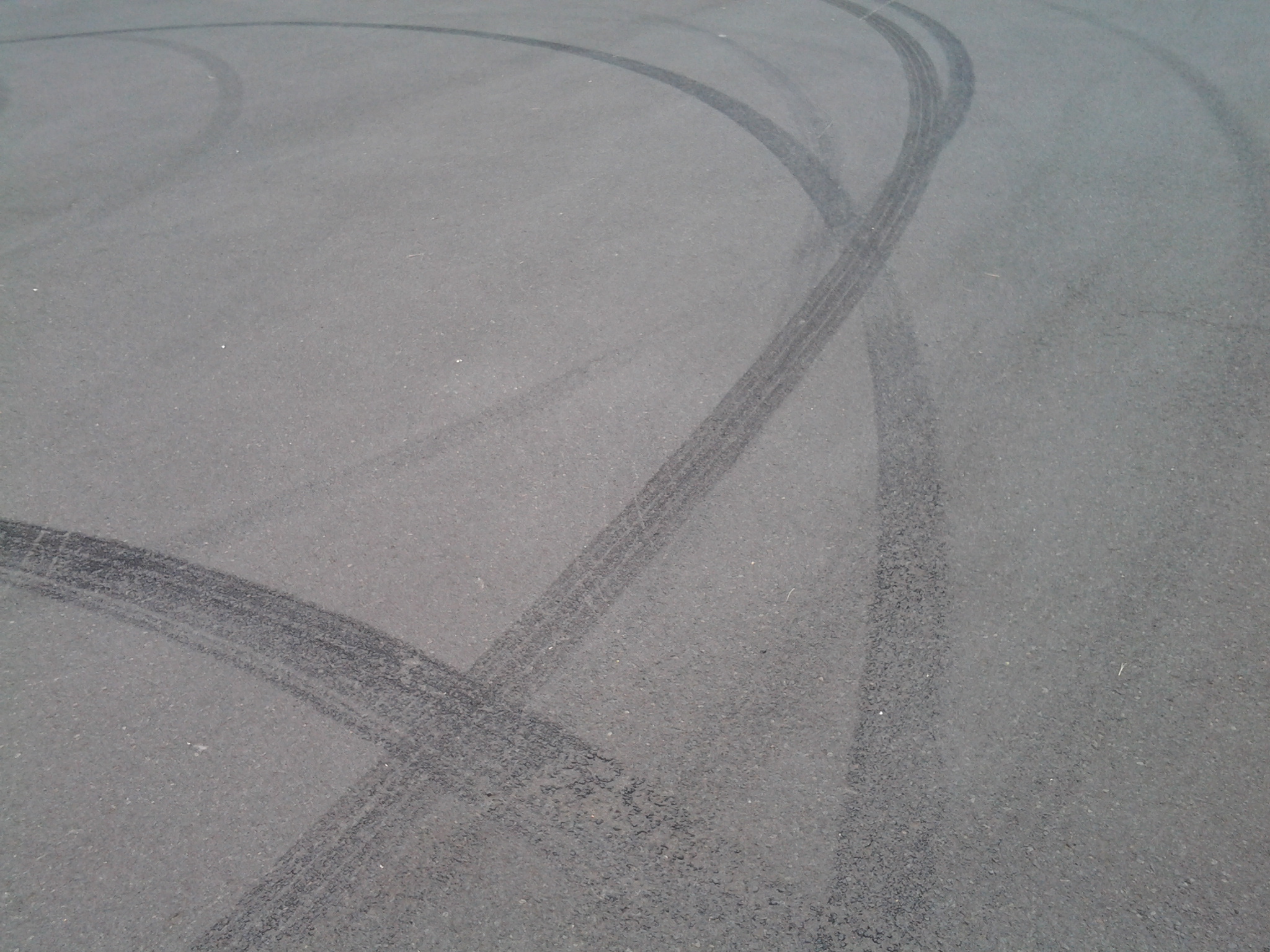
After walking across Goodwood Road (on Stage 10 of my walk along the Derwent River) which extends from the Bowen Bridge at one end to Glenorchy suburbs at the other, I was puzzled by a sign on one corner indicating behind it was a Model Park.  There were no trees. What sort of park was this? It seems this is a place for big boys to play with their model cars etc.  Special tracks were clustered in different parts of the ‘park’.

20150109_093005

Not much further along the road to the left (Innovation Drive –someone gave this name a lot of thought and presumably smirked in satisfaction) was signed as the entry to Tasmania’s hopes for technological innovation, Tasmanian Technopark.

20150109_093306

The Technopark was the brainchild of a government minister and his public service department around 2000. A small amount of information can be read at http://www.stategrowth.tas.gov.au/home/about_us/tasmanian_technopark. A federal government website has a whisper of additional information at http://www.australiangovernmentgrants.org/TASMANIAN-TECHNOPARK.php. I am surprised that there is no easily googled publicity about the achievements of this program. Can Tasmania ever equal the cut and thrust of innovation coming out of other small or remote places like Singapore, Finland, Iceland, etc?  What are we doing right and what could be done better to achieve successes?  Who knows? I couldn’t find any such information on the internet.

In the absence of any clear way to walk around the Derwent River edge of Dowsing Point, on which the Technopark is located, I thought it best to leave that exploration for another day and to continue along Howard Road.

Goodwood, in my experience, turned out to be the dog poo suburb of the Greater Hobart Area.  Excrement was everywhere in perfect form or squashed on the pavements, or the various colours dotted grassy verges.  I didn’t waste time on photography for which I am sure you are thankful – the choices were too great!

Firstly I turned left into Negara Crescent which was a street combining mean, low level, paint-flaking, unmown lawns, weed infested residential properties (okay – well not all were, but many were) with light industry such as Linen Services Tasmania, boat works, Anchor Wet Suits, Towbar and Crash bar repairs, fishing supplies, and a large unnamed workshop building emitting unpleasant chemical smells. Those houses which had Derwent River frontage sometimes had escaped overgrown blackberry infestations blocking river access in their back yards. There wasn’t a sense of wanting to live caringly or beautifully here. Accessing the River is impossible without entering private land around this locality. The built-in nature of some parts can be seen on the sign for a block of land that has been sold.

20150109_094257

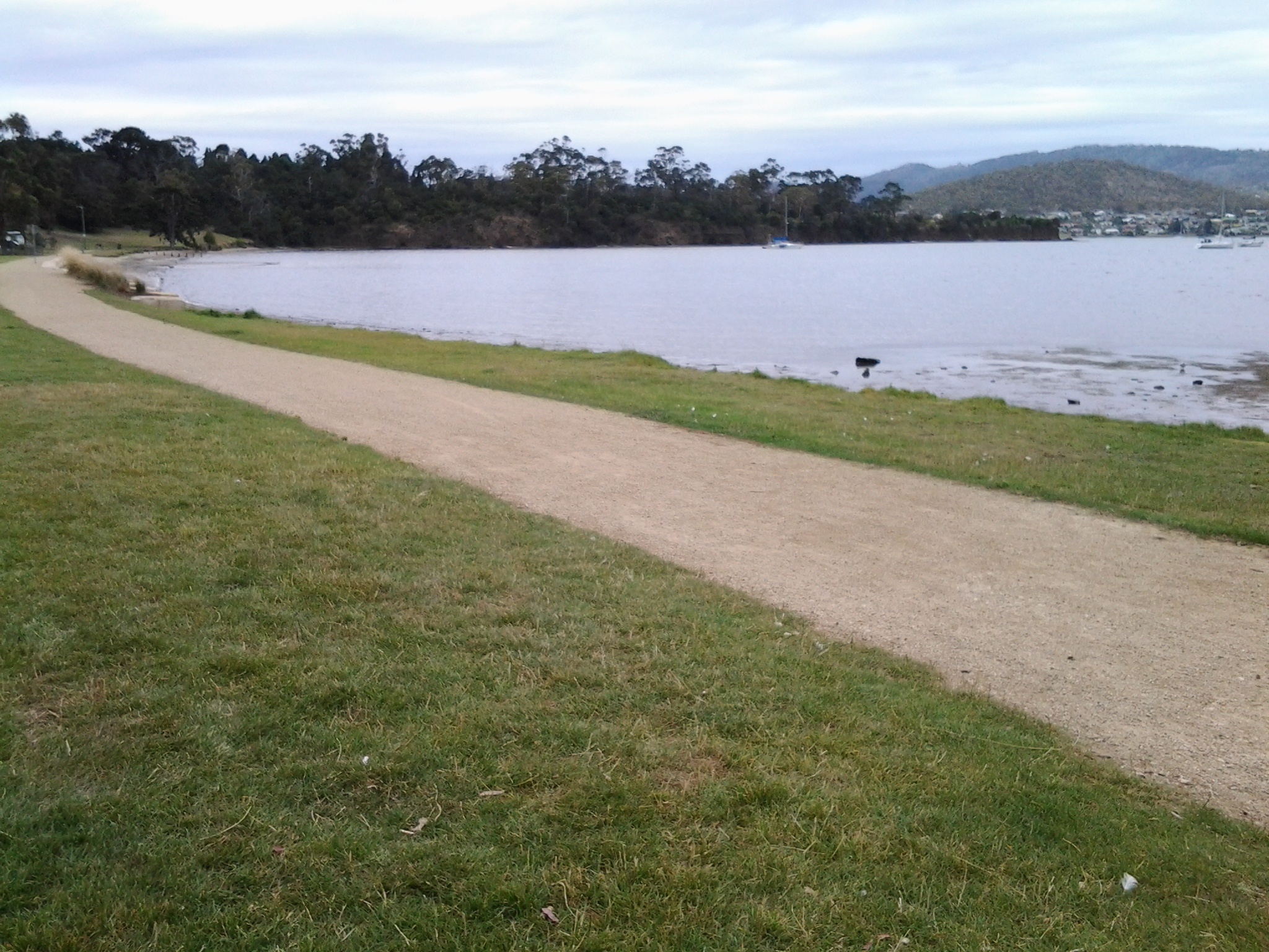
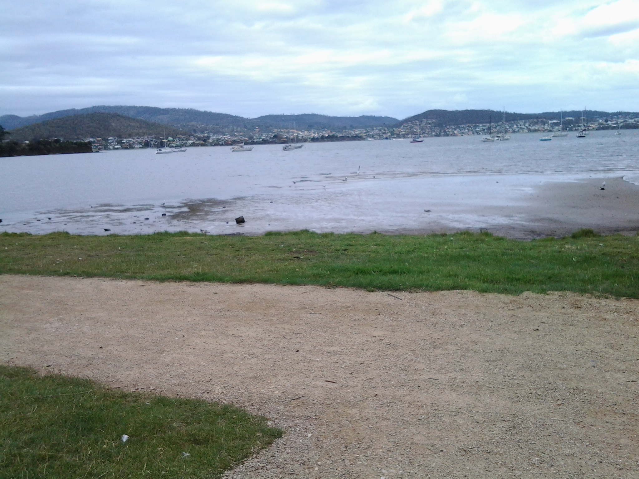
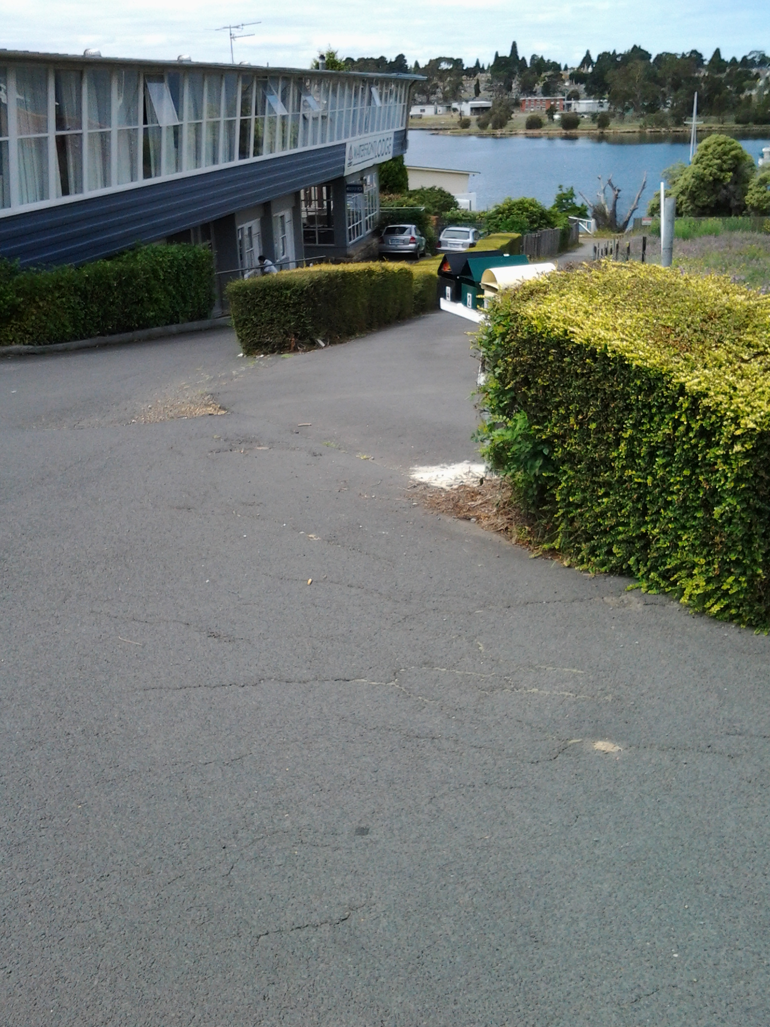
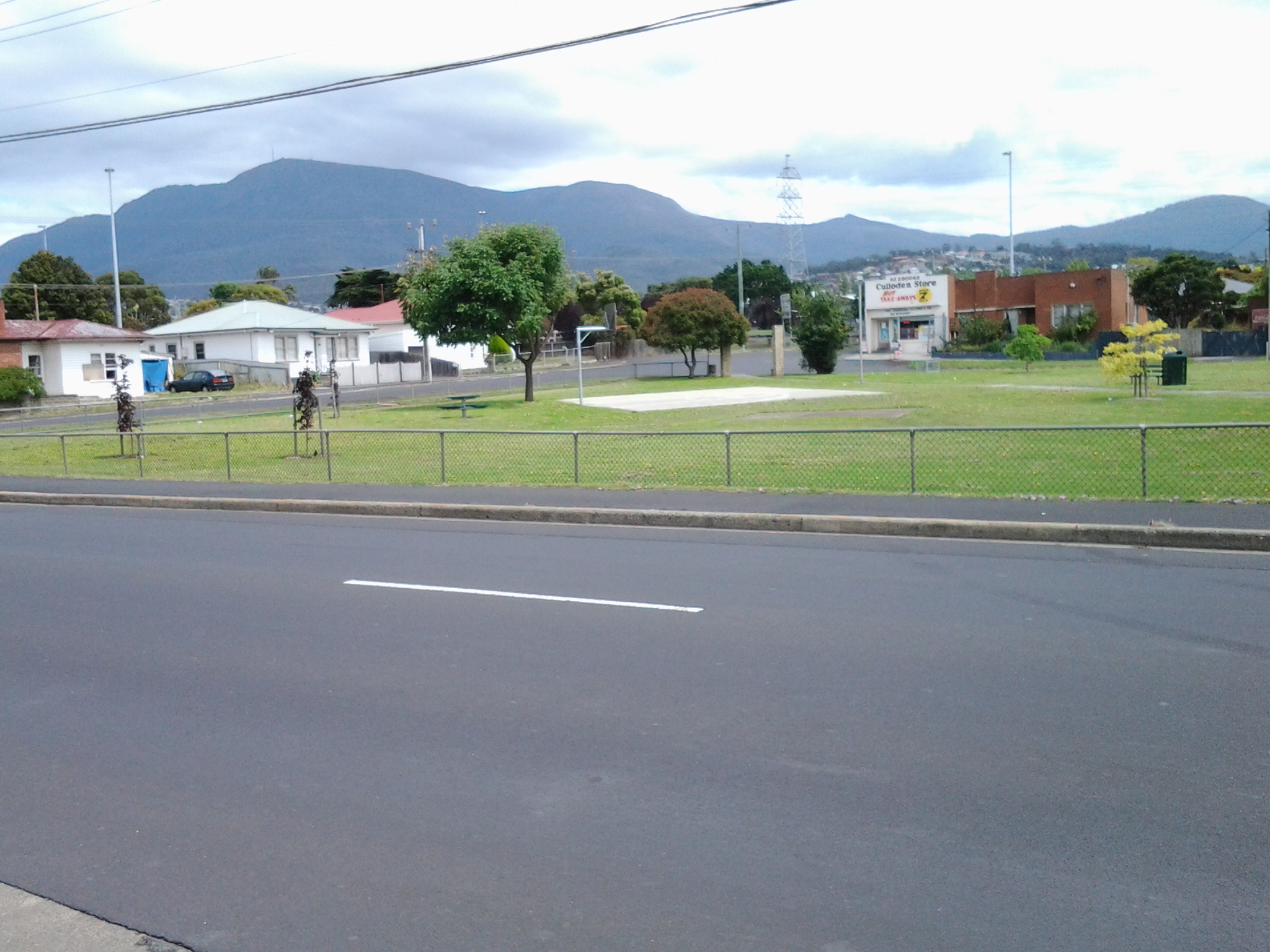
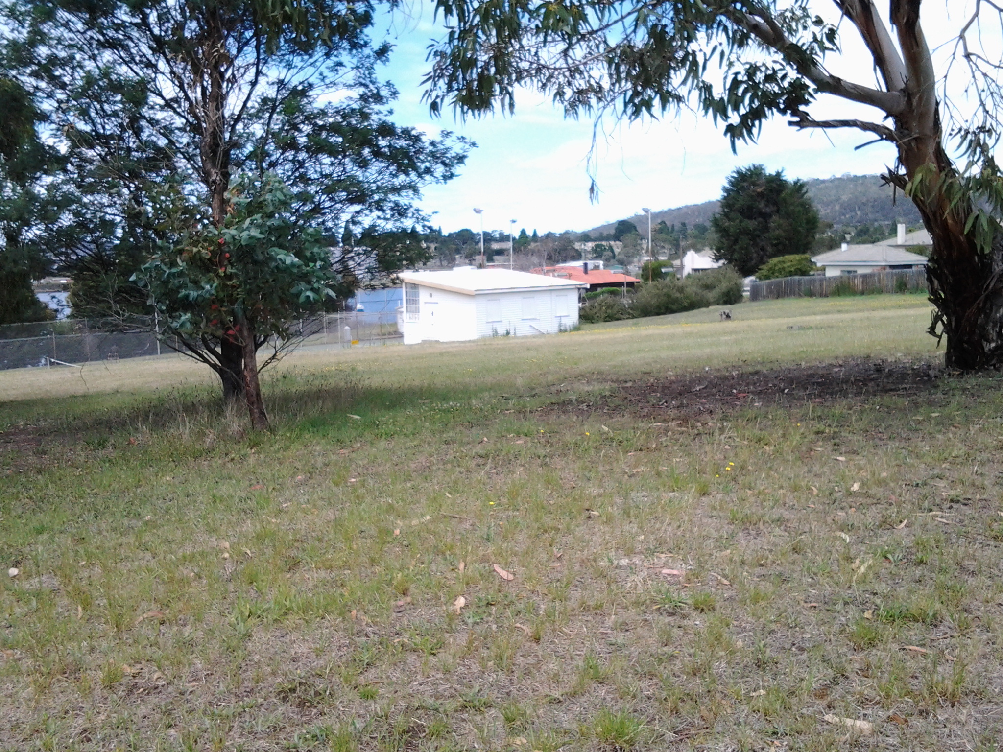
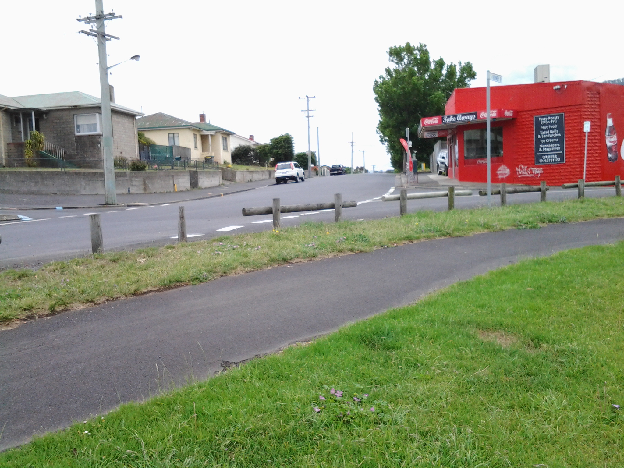
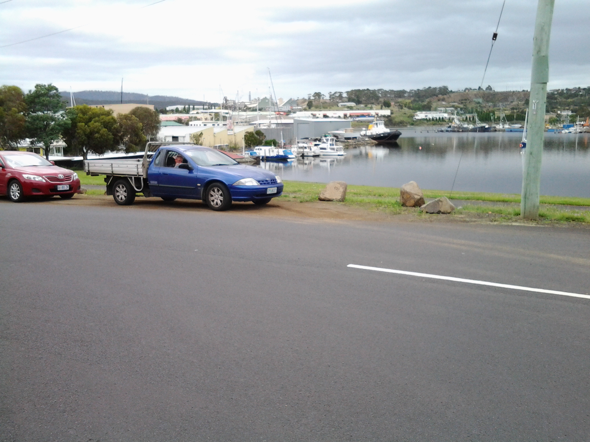
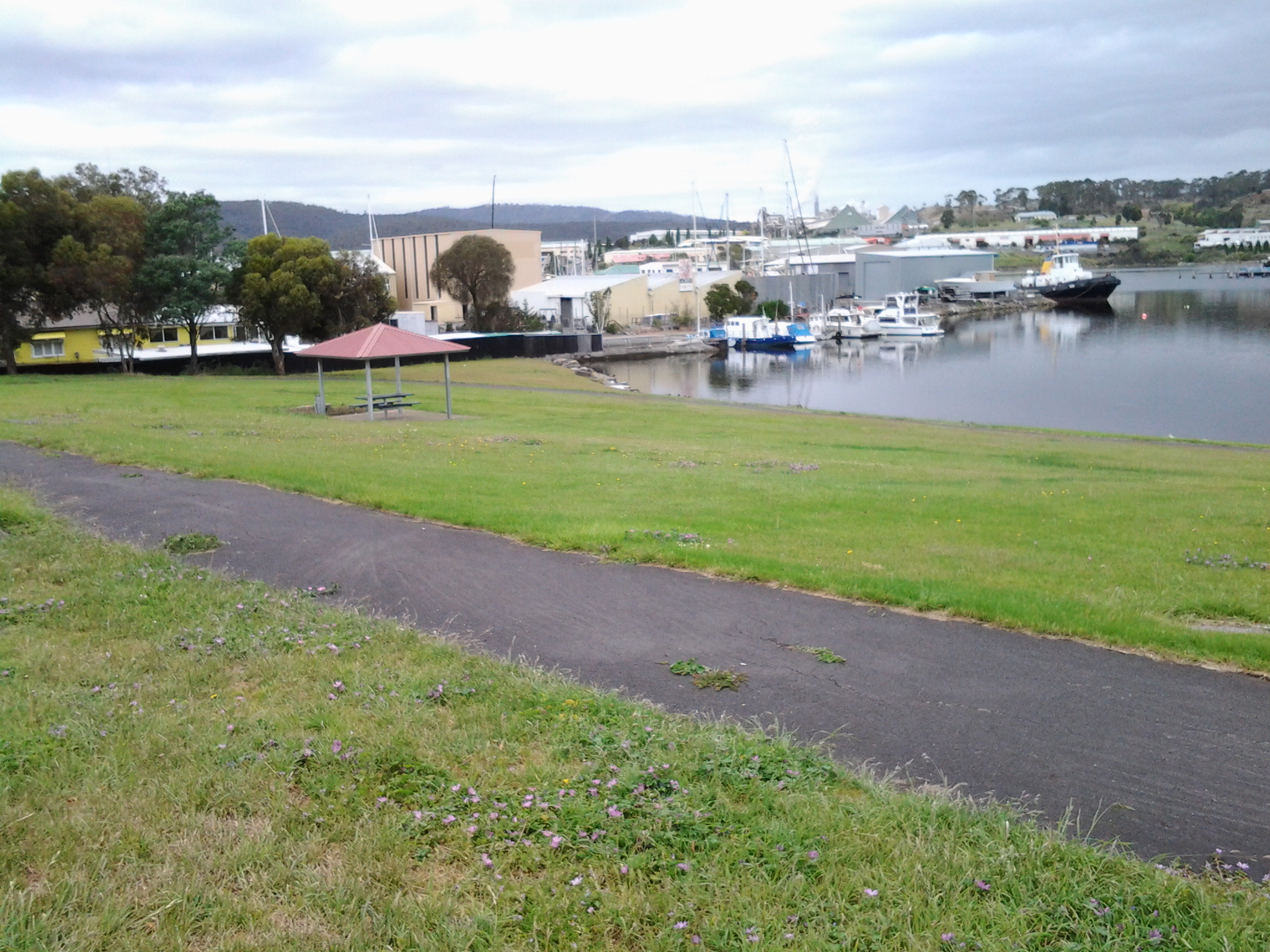
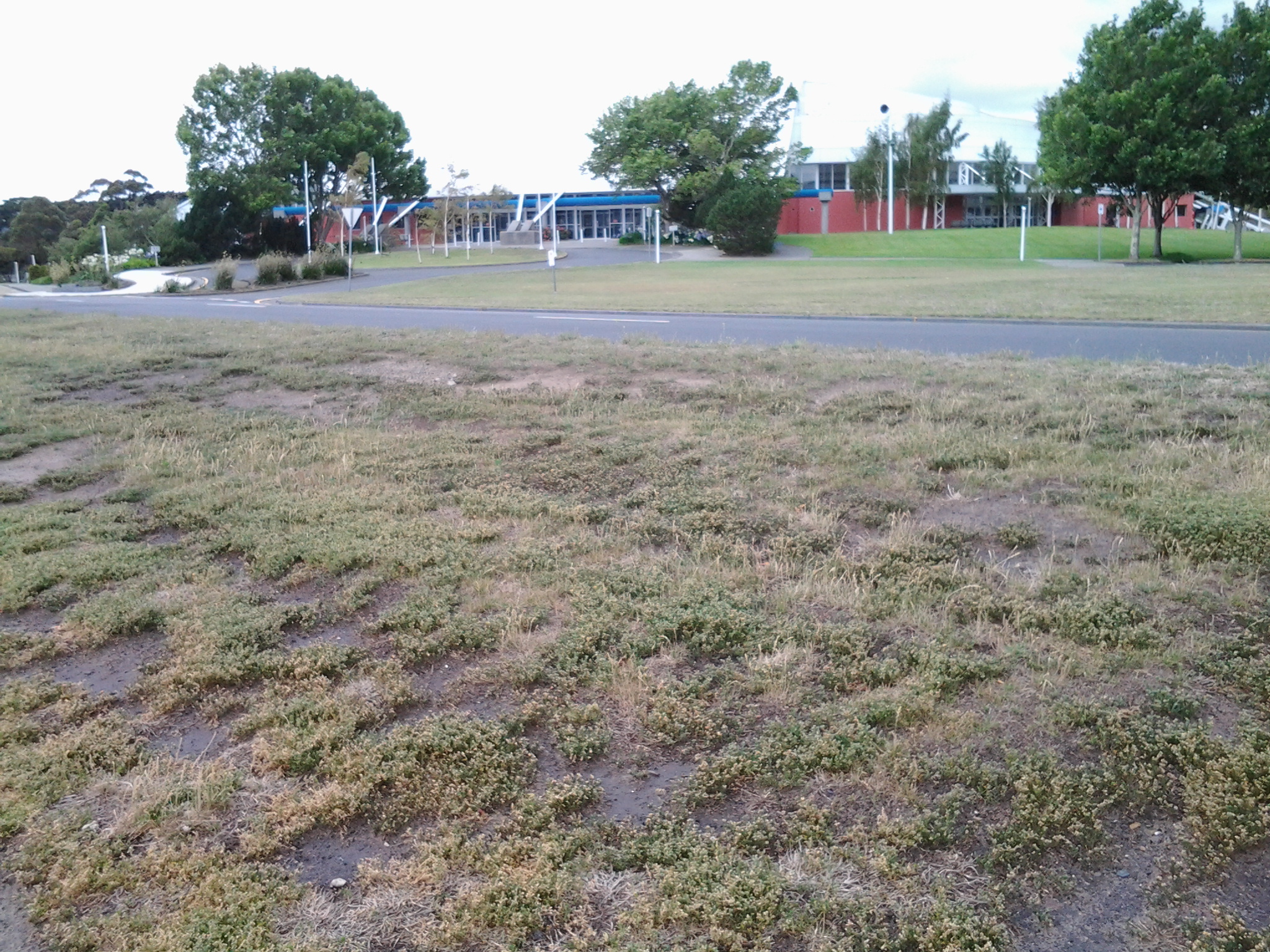
By 9.45am I was joining back onto Howard Road. I walked on past bus stop 34, and the nearby Take Away Food shop and reached the Giblin Reserve around 9.50am. Photos of the surrounds are as follows:

20150109_095701  20150109_095658  20150109_094705

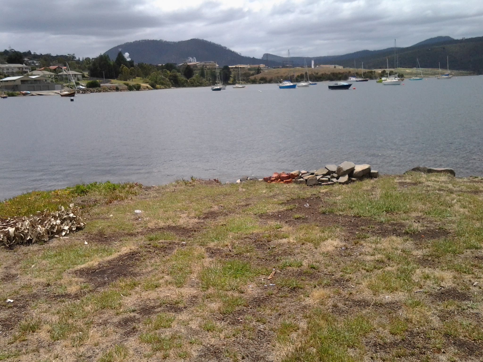
I sat for a while in the Reserve, watching a man in his car eating his take away meal, and taking in the surroundings.  This was a part of Prince of Wales Bay.

20150109_094717  20150109_095819

In the distance I watched the steam/smoke pouring from the zinc works of Nystar, a large industry owning considerable property along the Derwent River a little south from where I sat for a while and soaked in the atmosphere.

20150109_094734

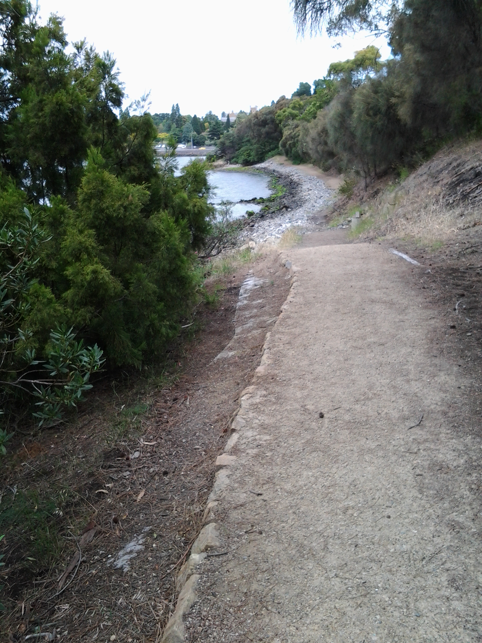
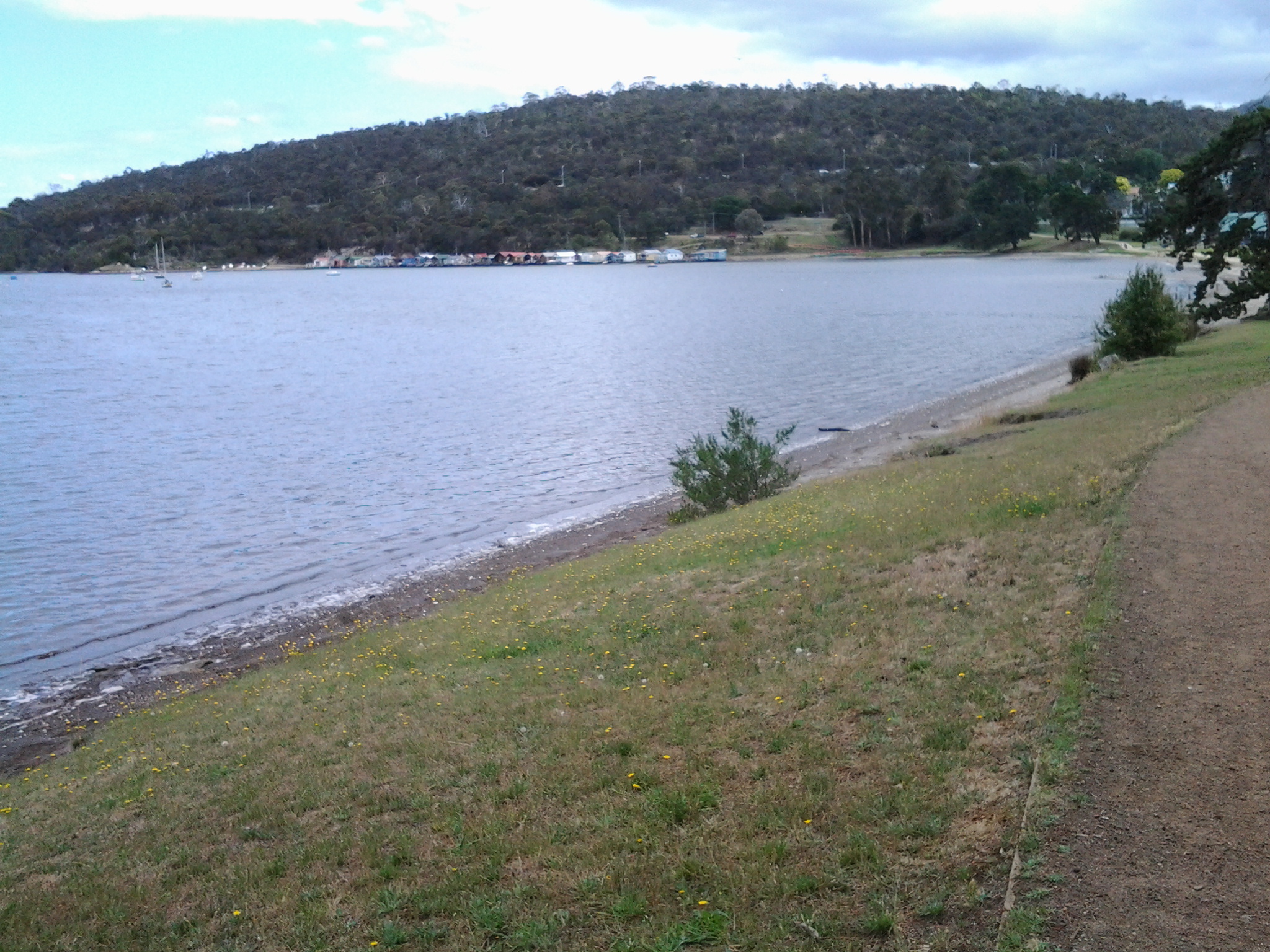
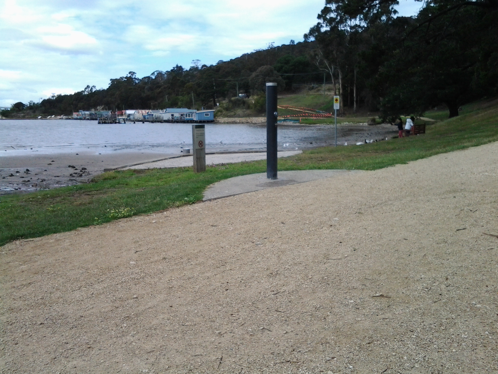
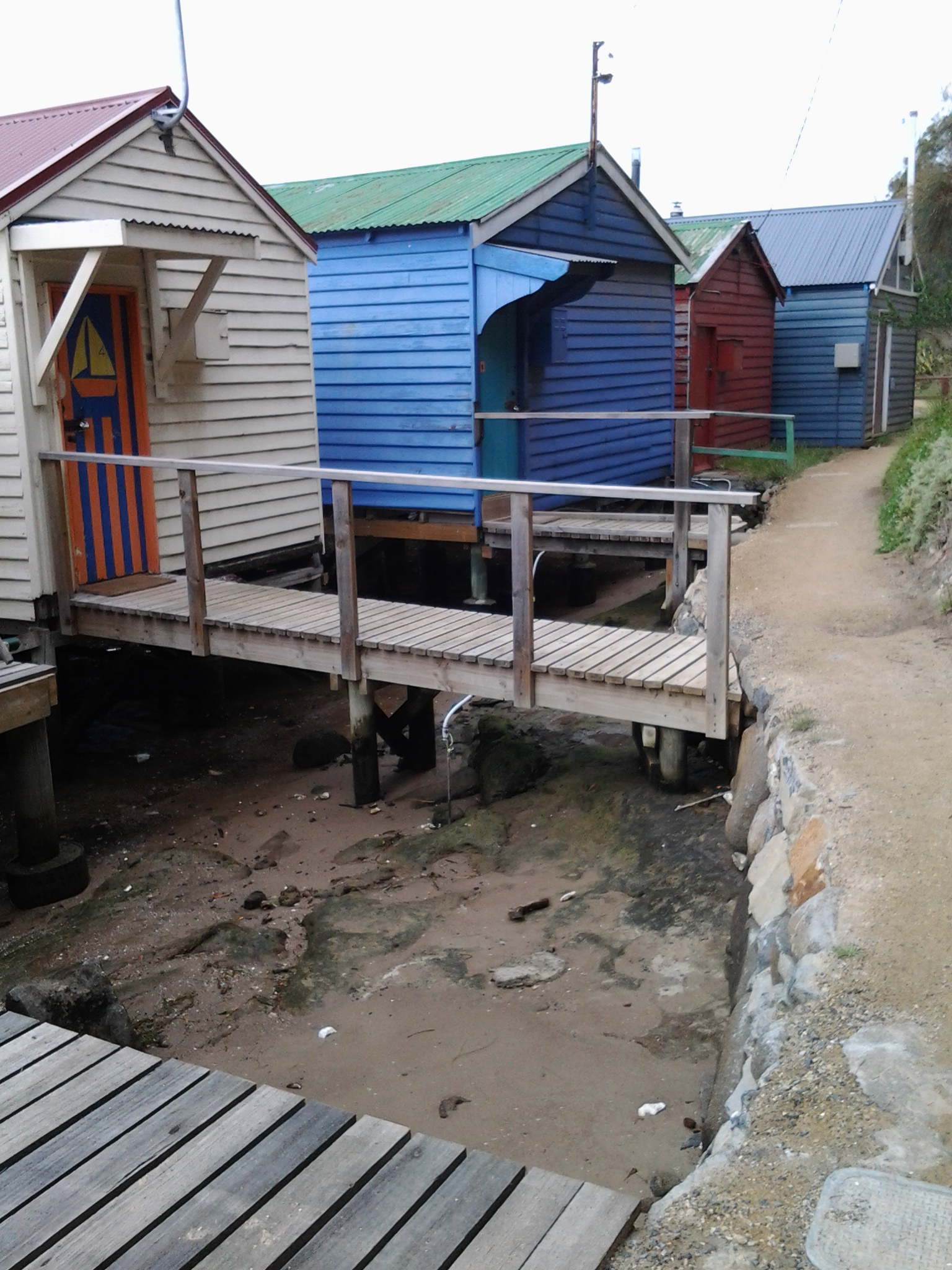
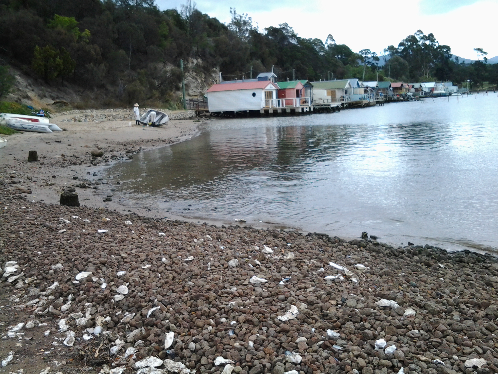
Once I continued walking southwards around the Bay, I passed a kid’s playground, BBQ area, public toilets and ducks quacking.  When stymied by lack of water access around 10.05am, I walked up onto Gepp Parade and walked past a tree laden with not yet ripe nectarines, and later a row of junky looking boathouses. I wondered who wouldn’t be interested in removing their half sunk boat.

20150109_101243

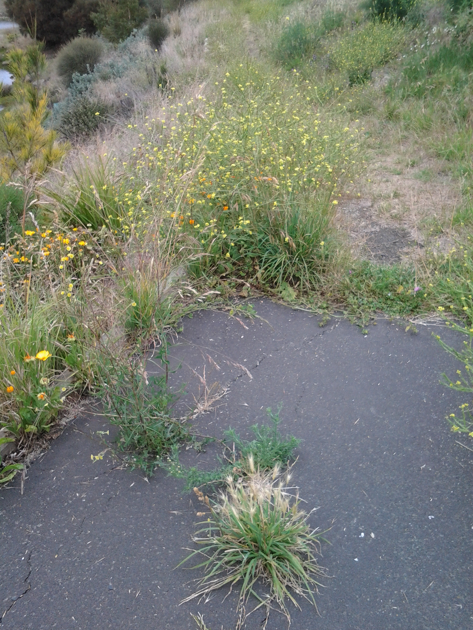
Eventually, through the bitumen path, weeds began to multiply then suddenly this ‘formal’ path stopped and an occasionally trodden pathway through the weeds was all I had to continue on.

20150109_101335

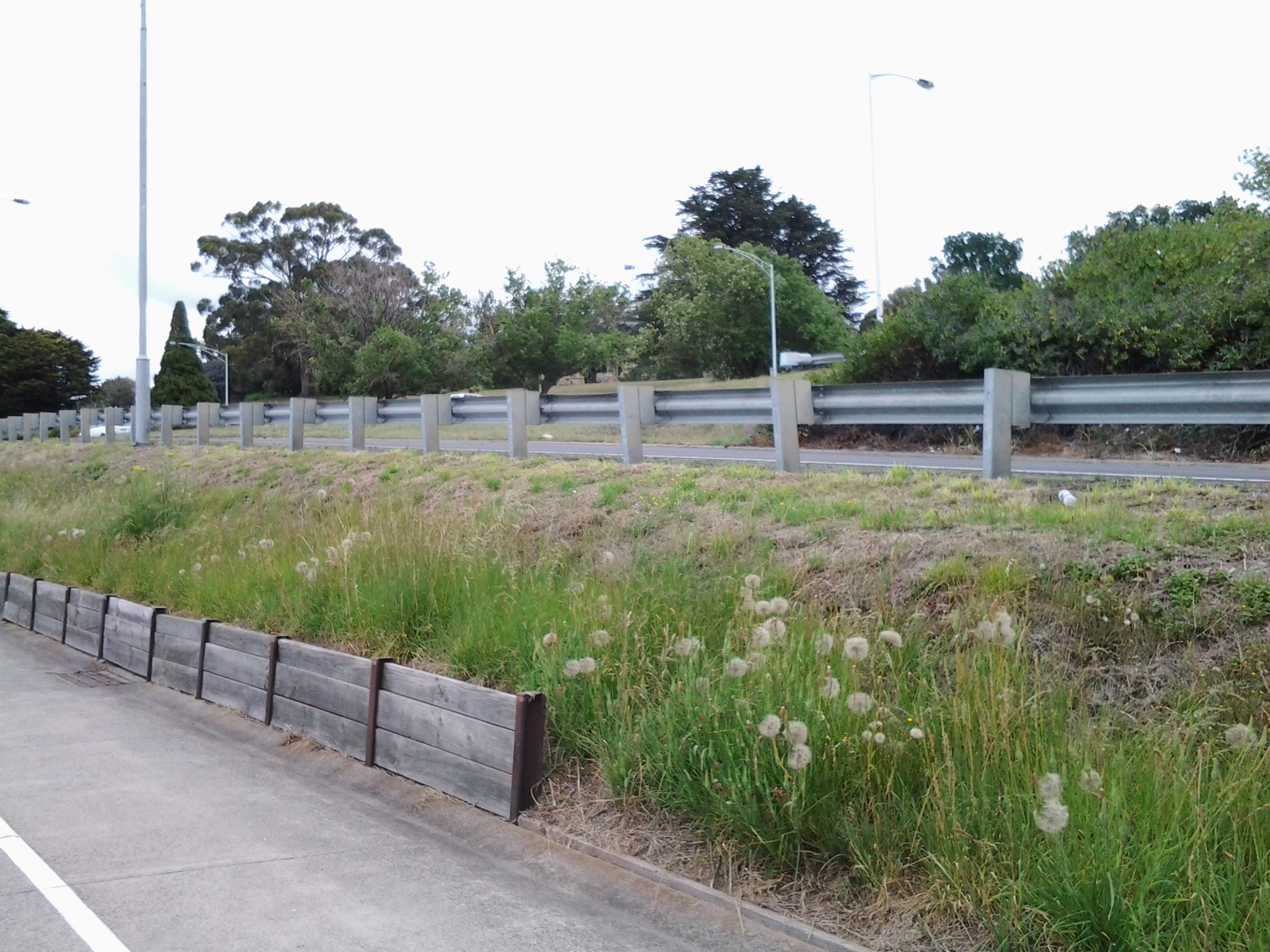
I couldn’t help thinking that wherever a local government area is almost at the end of one and near the start of another area, there is more rubbish not collected and the general appearance of places is rather shabby. This has been the case on earlier stages of my walk, and now as I was at the extremity of the City of Glenorchy and coming closer to the City of Hobart boundary, the amount of visible rubbish and untidiness was escalating.

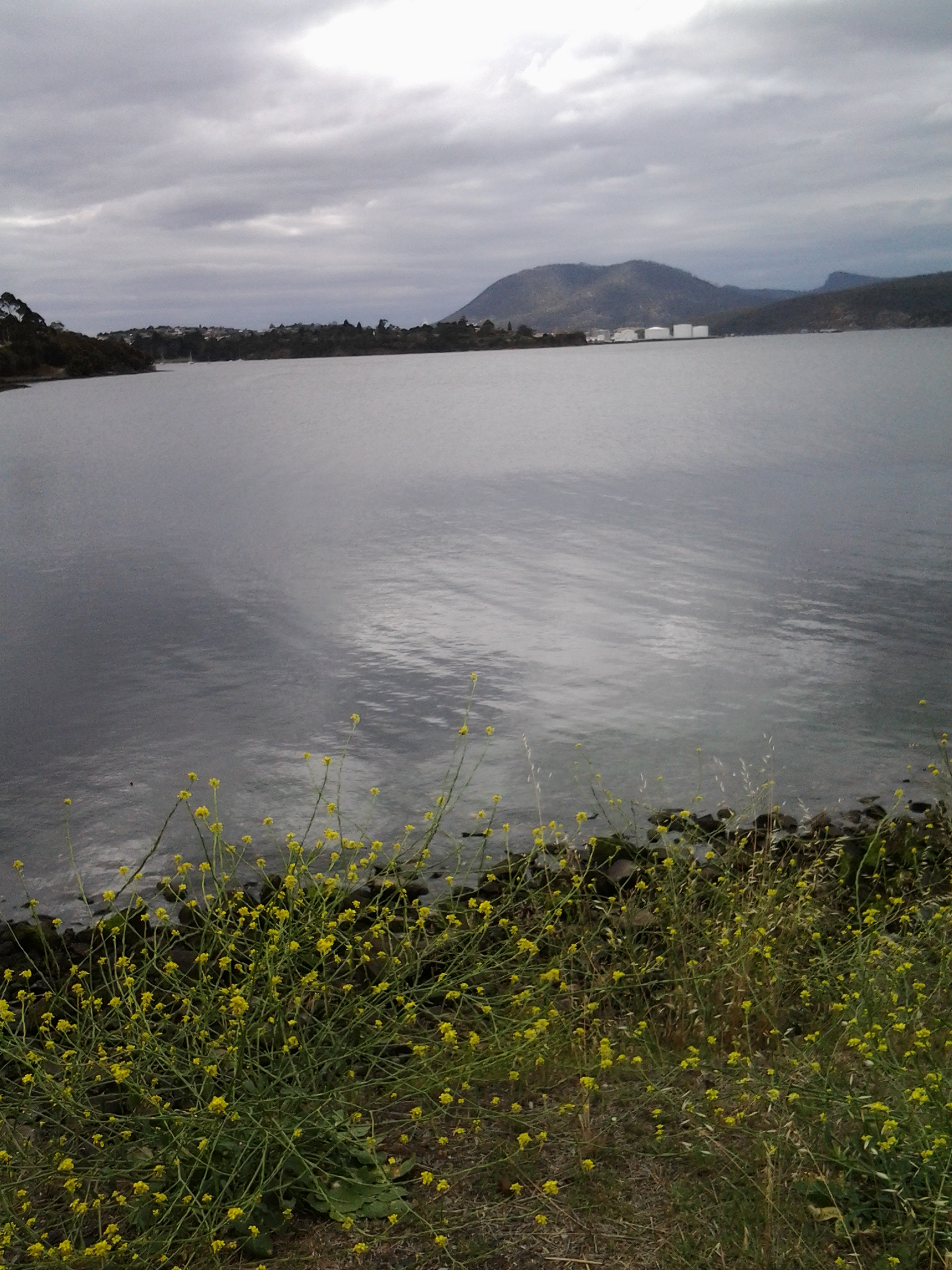
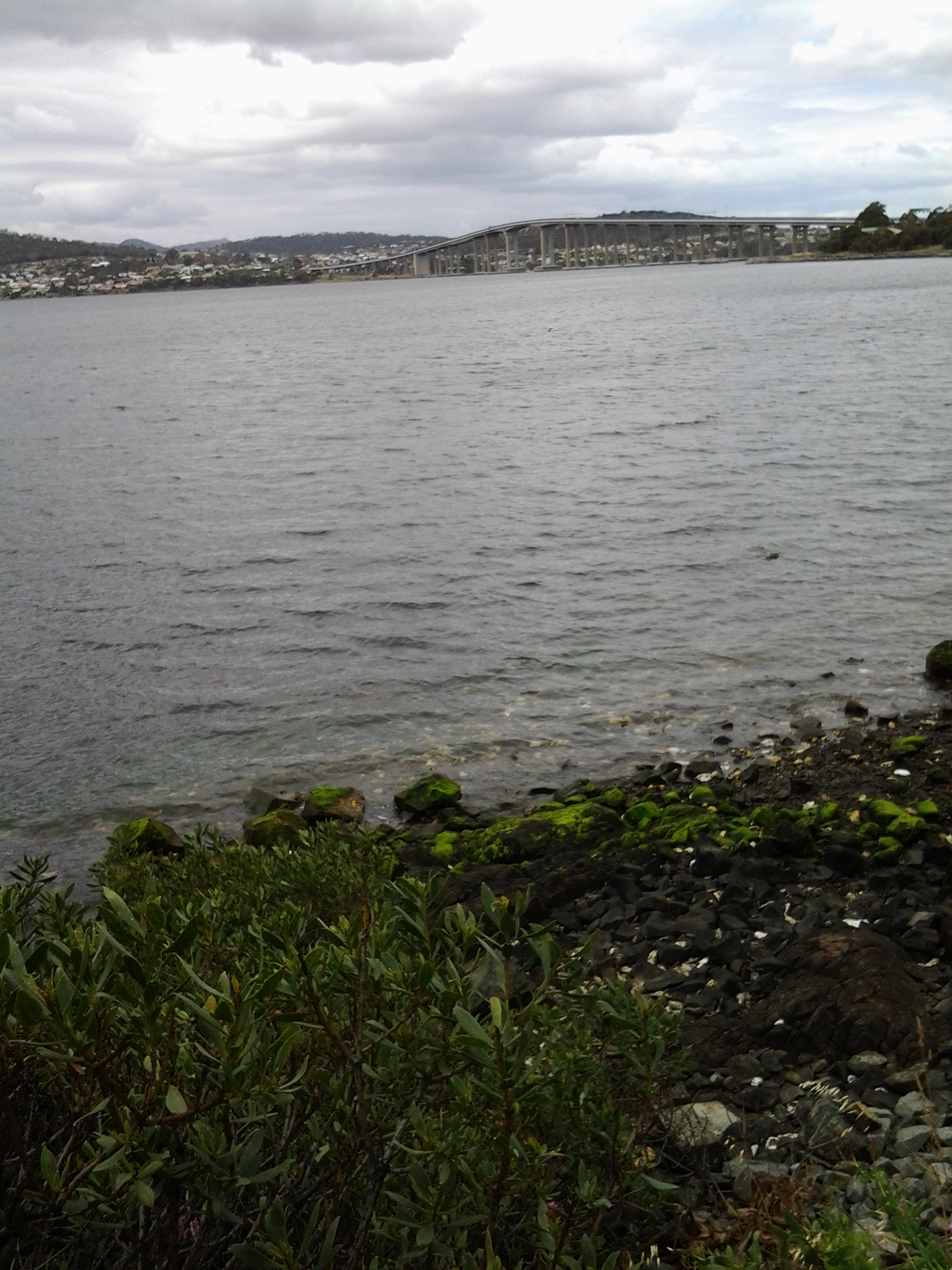
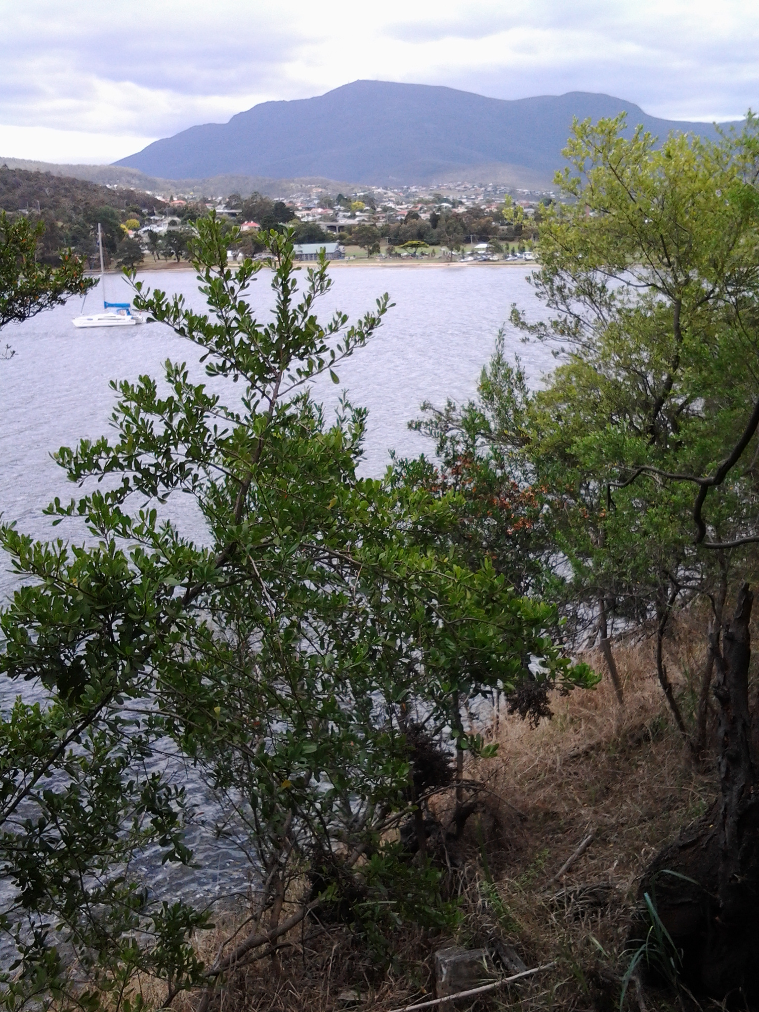
However, looking out over the water of the Bay (and if I tried not to study the weedy edges with their coloured flotsam and jetsam) to Mt Direction on the other side of the Derwent River, presented me with an attractive view.

20150109_101749

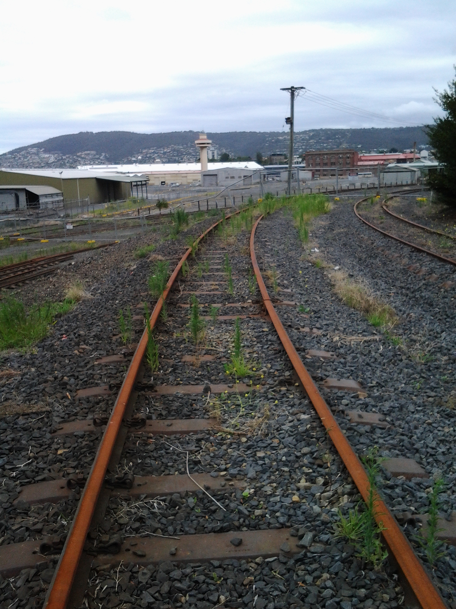
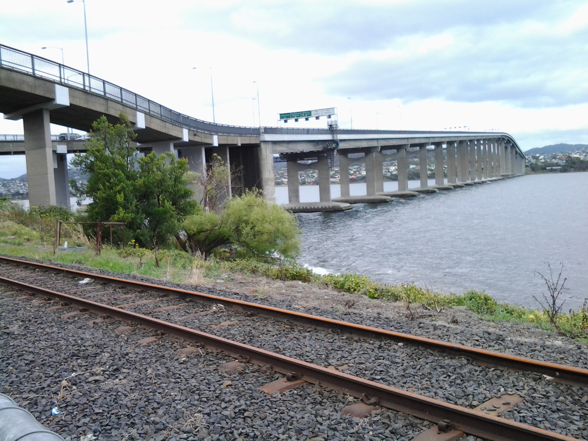
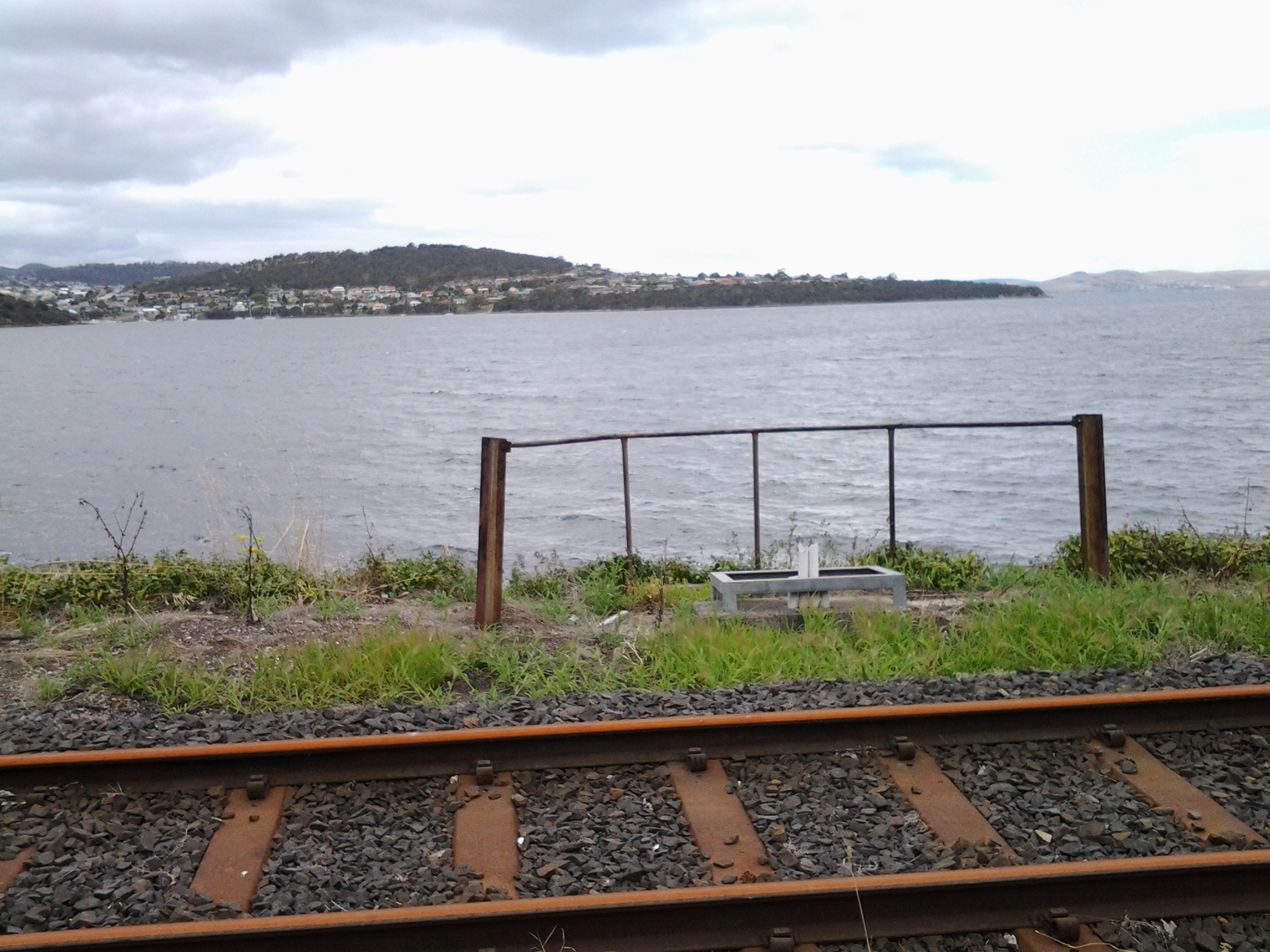
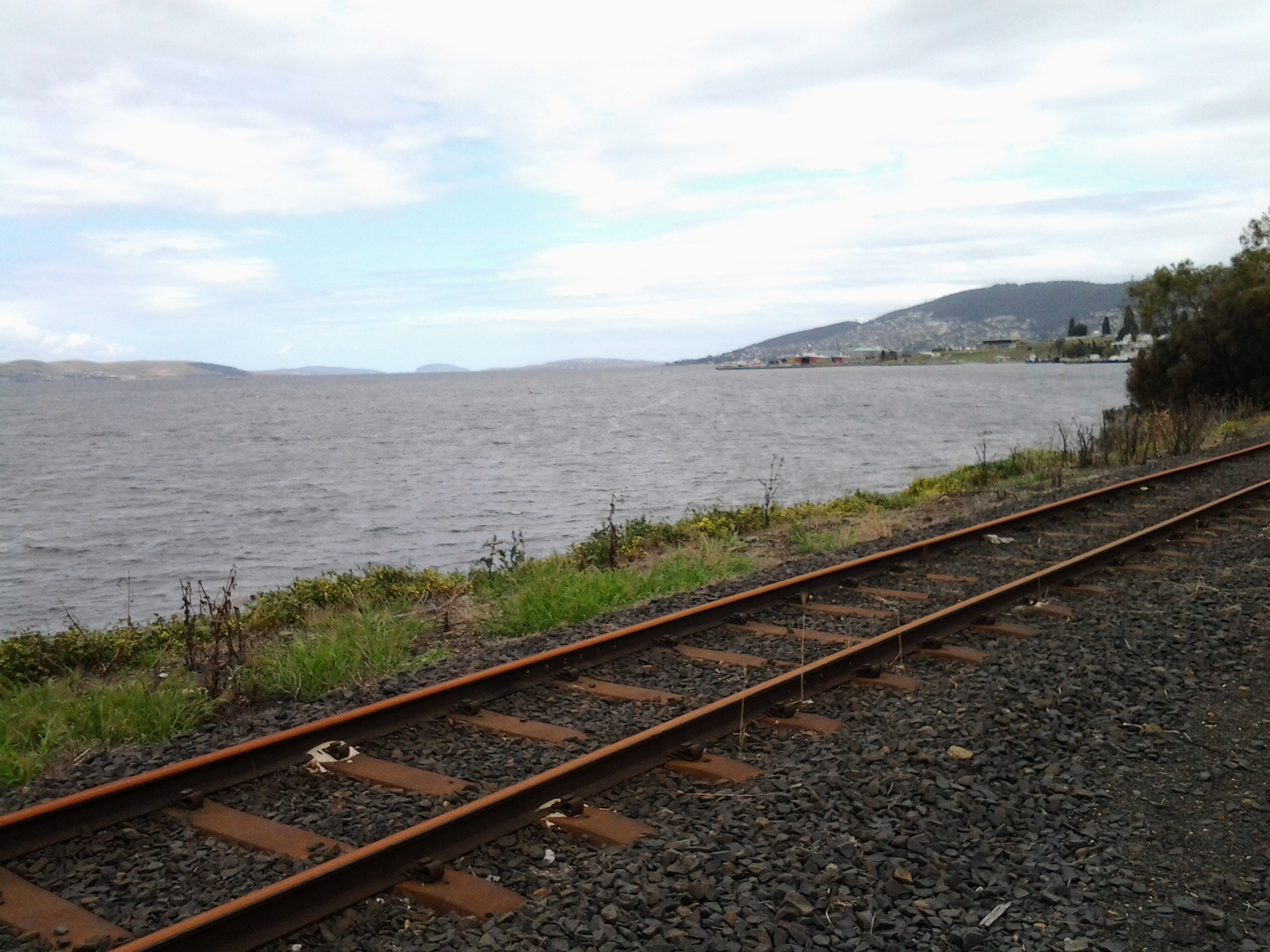
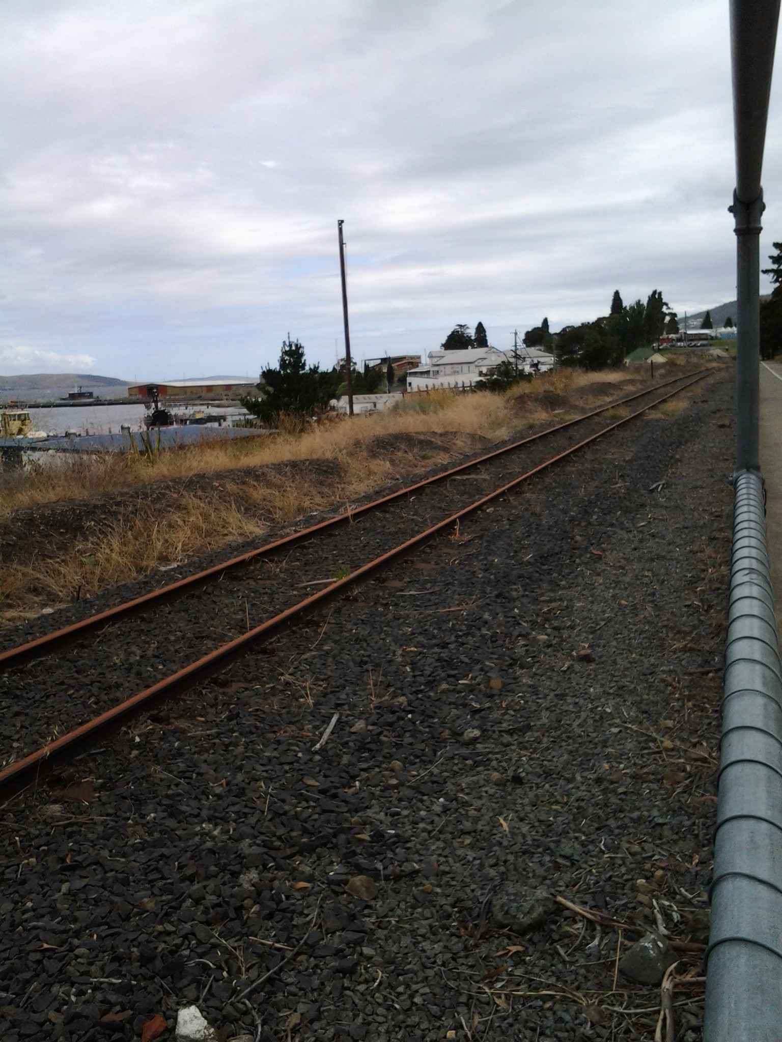
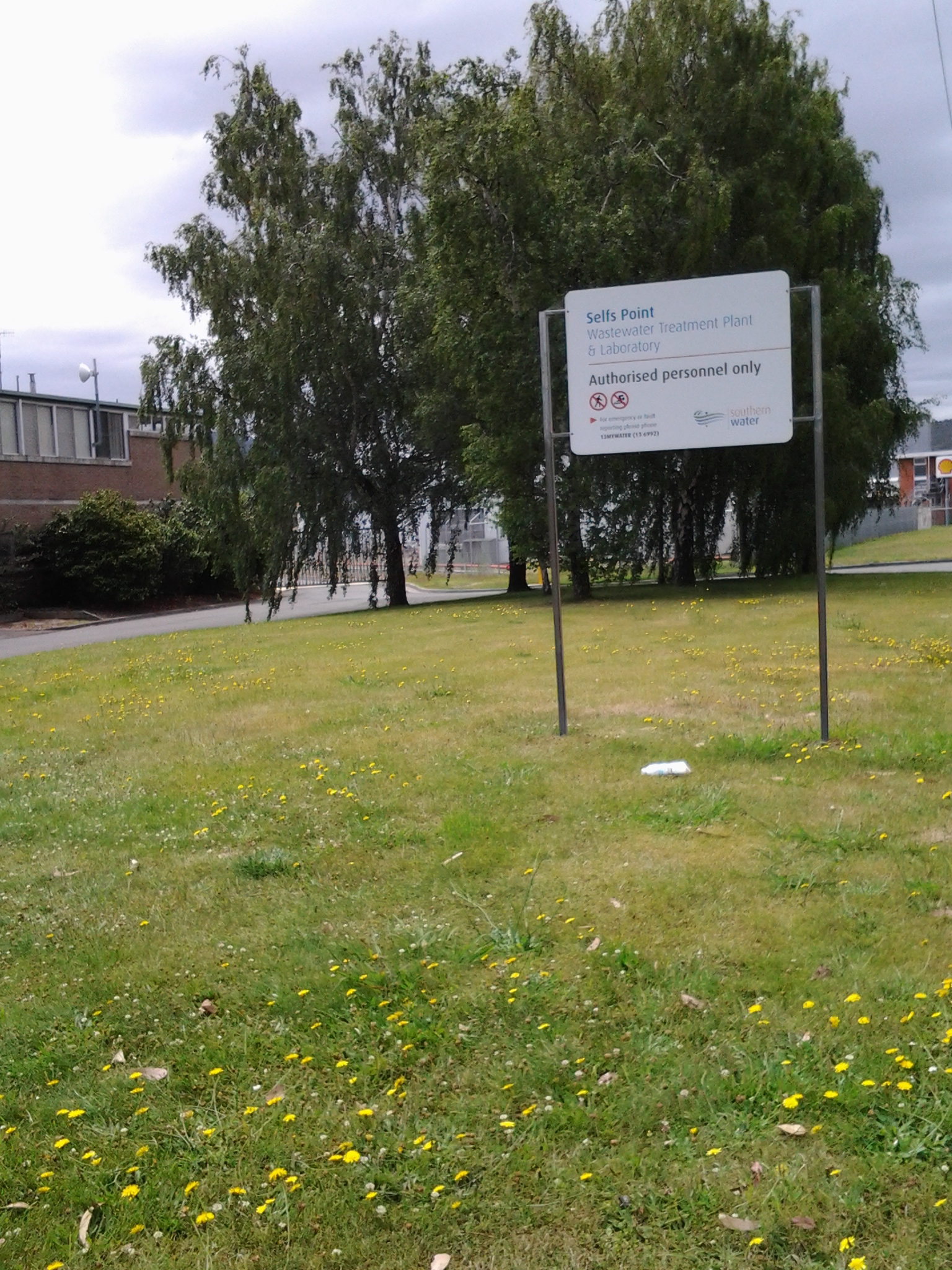
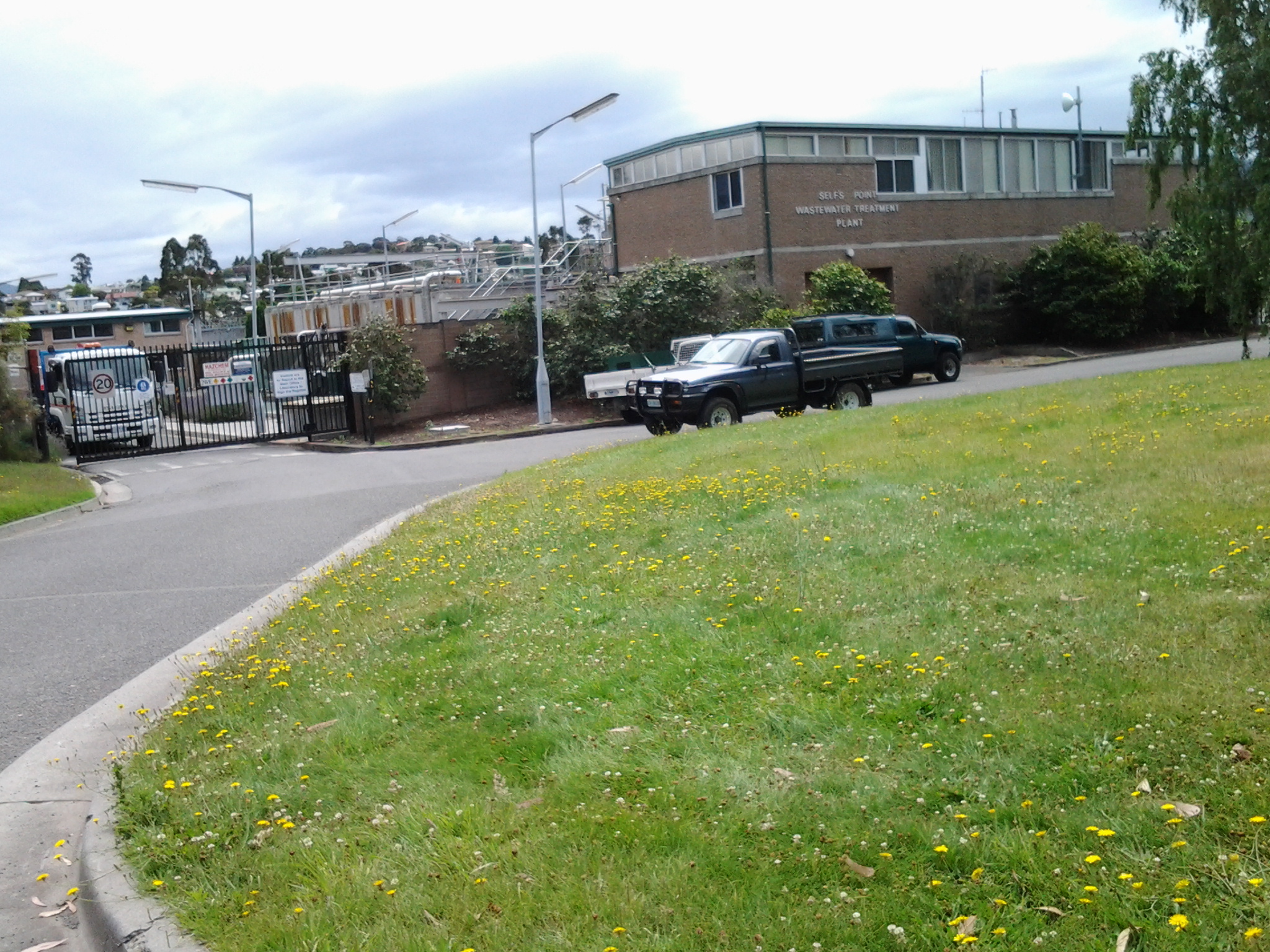
When I could get back down onto a weedy area, I followed man-made tracks and continued almost to the Sewage Treatment Farm (which I could see had wired fencing into the water that barred my continuous shore access) then headed up through the trees and onto a disused railway line. I crossed this, climbed a weedy rise spattered with rubbish, clambered over a metal guard rail and stood on Derwent Park Road which is the main road to Nystar and other industry located by the River. It was 10.25am when I reached this point. I had been plodding along for almost three hours.

Towards the Bowen Bridge

I plodded away from the GASP and Derwent Entertainment Centre site by walking between the Derwent River and the Elwick Race Course where dogs and horses race regularly for their owners.  I heard the rhythmical thumping on the turf before two trainers galloping their horses came into view over the barb wired fence.

20150109_091131

Otherwise all seemed quiet in that direction. Obviously it wasn’t a race day – well not then. Possibly it was too early in the day.  I walked along the long and winding Loyd Lane past a Department of Defence enclosure around 9.15am.  This is a little used road and pale green lichens were spreading across the bitumen in Rorschach test like splotches.

Before 9.20am I had reached a bar across the road which I walked around to discover inside the Commonwealth Government property was a Regional Training Centre and the base for the First Military Police Battalion, and the 4 Section 8 Platoon Company.  The gates were all locked and there was no sign of life on the other side of the fences.

20150109_091945

I continued along the road, reached the T junction with Park Rd, checked my map and found accessing the River improbable so I continued the few metres to the next T junction, with Centre Road. But there was no walking possible this way. The Road was strongly gated and locked and the signs indicated the Australian Army Derwent Barracks was inside.  Effectively I was denied access to the Derwent River from the end of GASP.

I did not achieve success with edging that headland which pushes out into the Derwent River and which is split in half by Goodwood Road to the Bowen Bridge. I have an idea that perhaps there is another way and at some future time I will try again to follow the River on the northern side.  I didn’t have much more success on the southern side of the Bridge, but again I am inclined to return and to see what else is possible.

So, on Stage 10 of my walk, I proceeded to the traffic lights intersection of Loyd Lane, Goodwood Road and over to the other side at Howard Road. It was 9.30am.

Images of the Derwent Entertainment Centre

I took over 200 photos during the 10th stage of my walk along the Derwent River, downloaded then sorted those photos.  Alas, I overlooked including my photos taken as I walked past the Derwent Entertainment Centre, in recent postings.

20150109_084521  20150109_084606

The photo below is when I was looking back as I was about to leave the area.

20150109_090658

This Centre has seen some extraordinary acts and visitors including the Australian Visit of His Holiness the Dalai Lama, Powderfinger “Sunsets” Tour, “Keeping it Real” Daniel Geale World Title Event, Grease – The Arena Spectacular, Building and other Expos and much much more.