Category Archives: Tasmania

A story of a walk in 19th century Tasmania

In the late 1980s, Hilary Webster compiled a book of short stories written by people who travelled around Tasmania by foot and by horse and carriage in the nineteenth century; The Tasmanian Traveller A Nineteenth Century Companion For Modern Travellers.   Thanks to blog follower Ma, I was alerted to this publication.

The Tasmanian Traveller

These stories helped me to understand the difficulty of travel in early colonial Tasmania when roads were not always developed. Some stories surprised me so that I feel inspired to visit Tasmania’s State Archives in order to discover more.

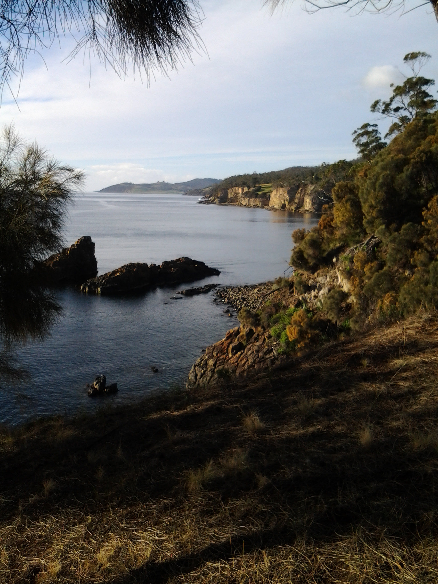
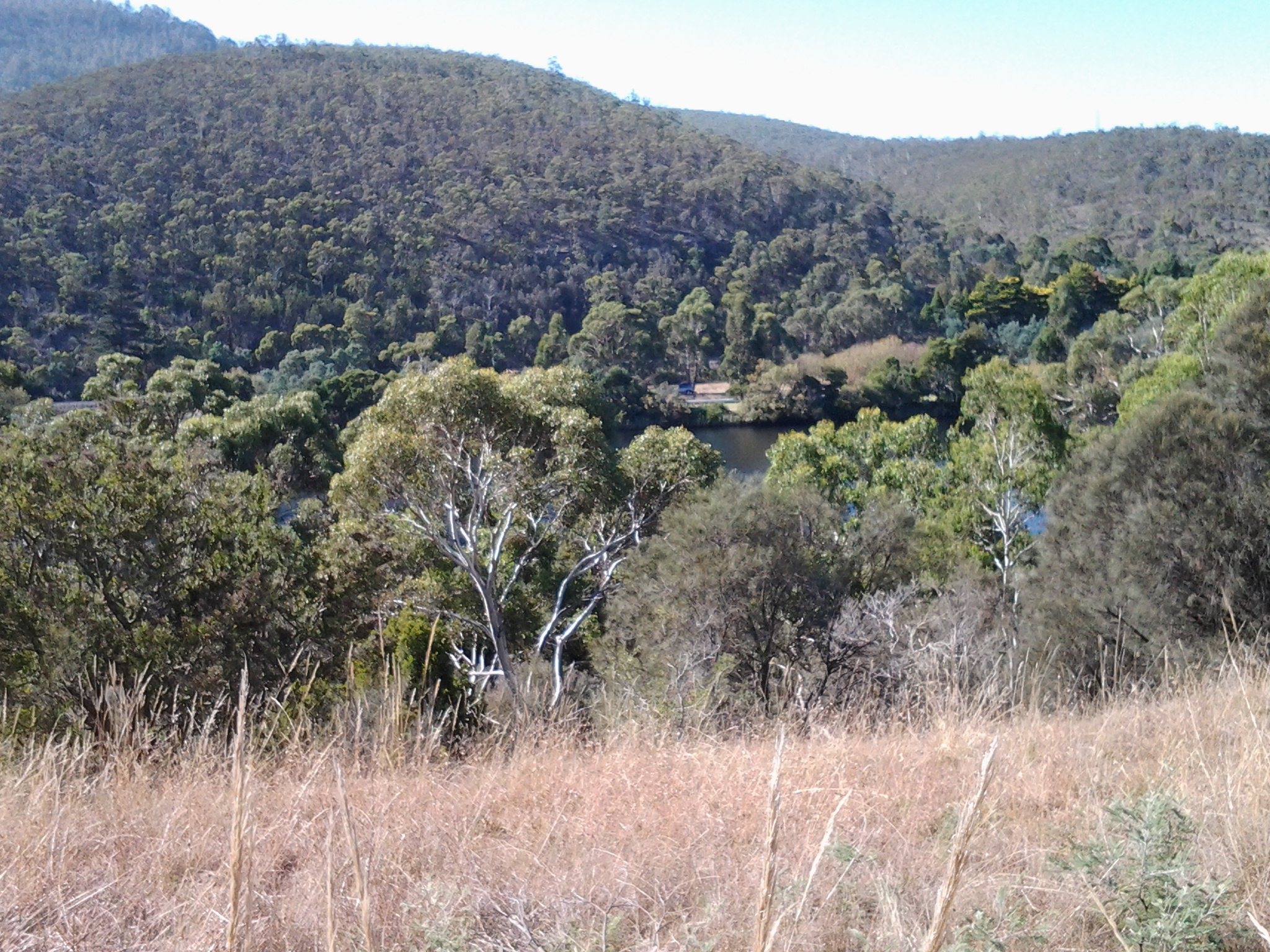
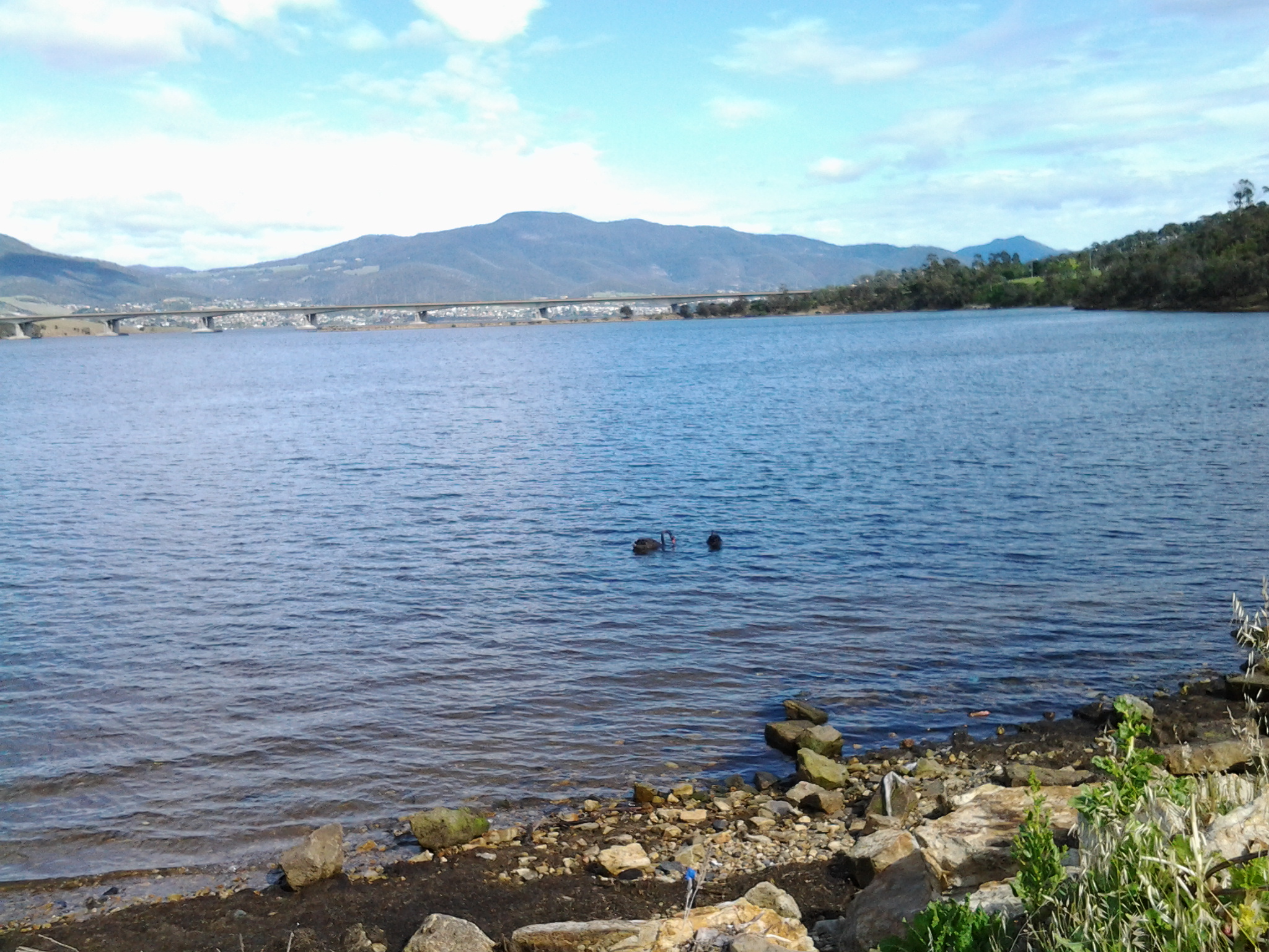
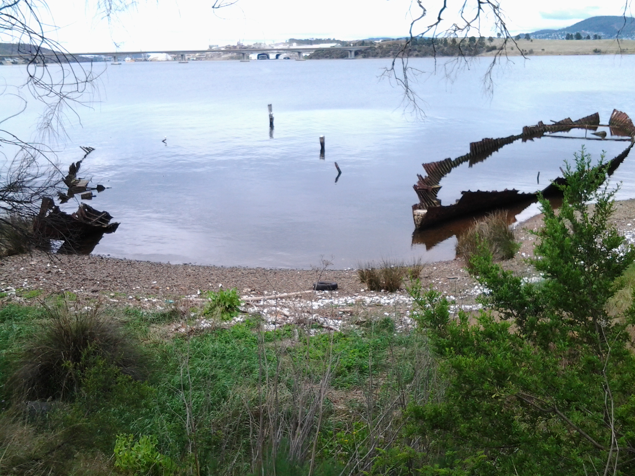
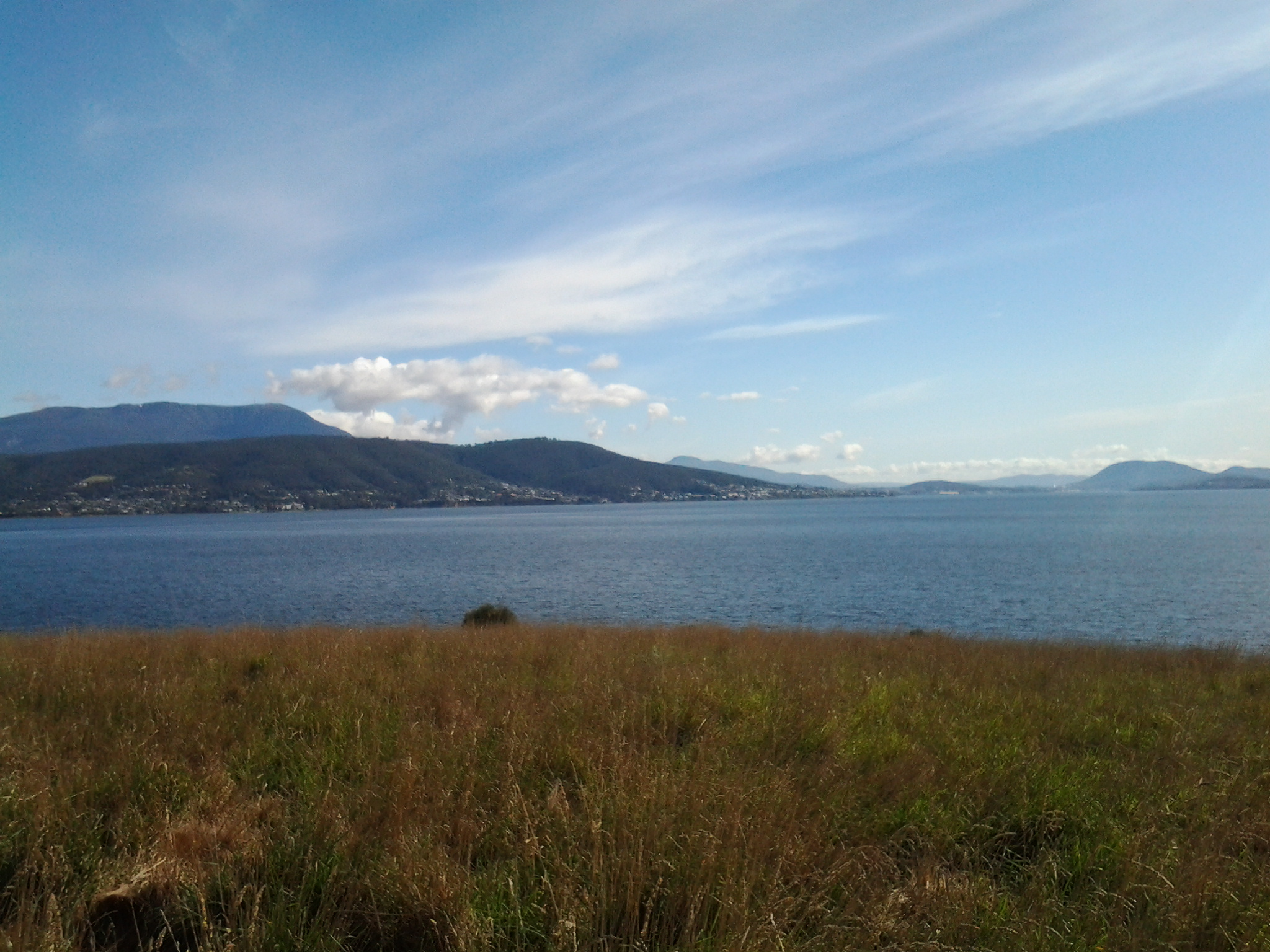
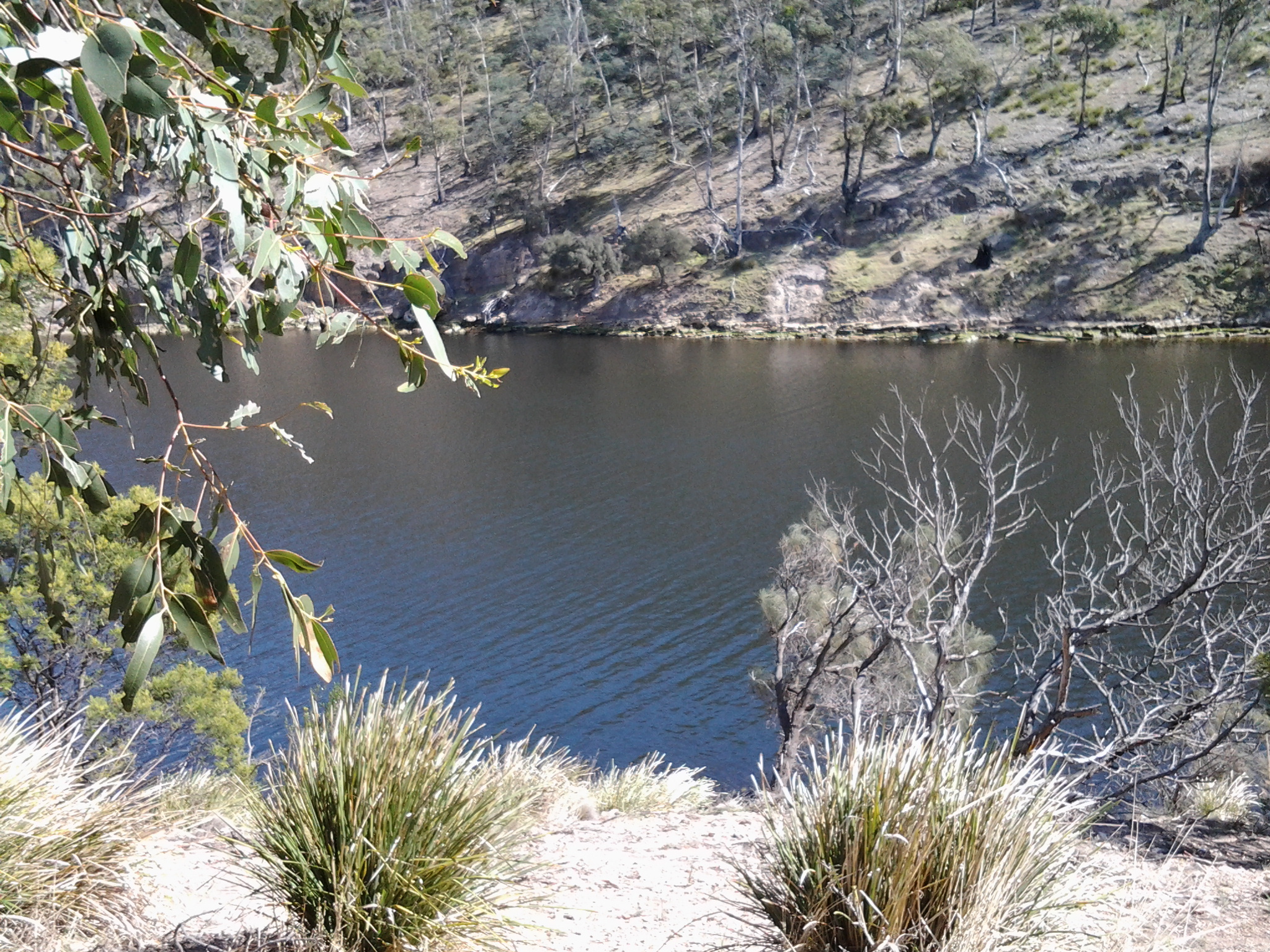
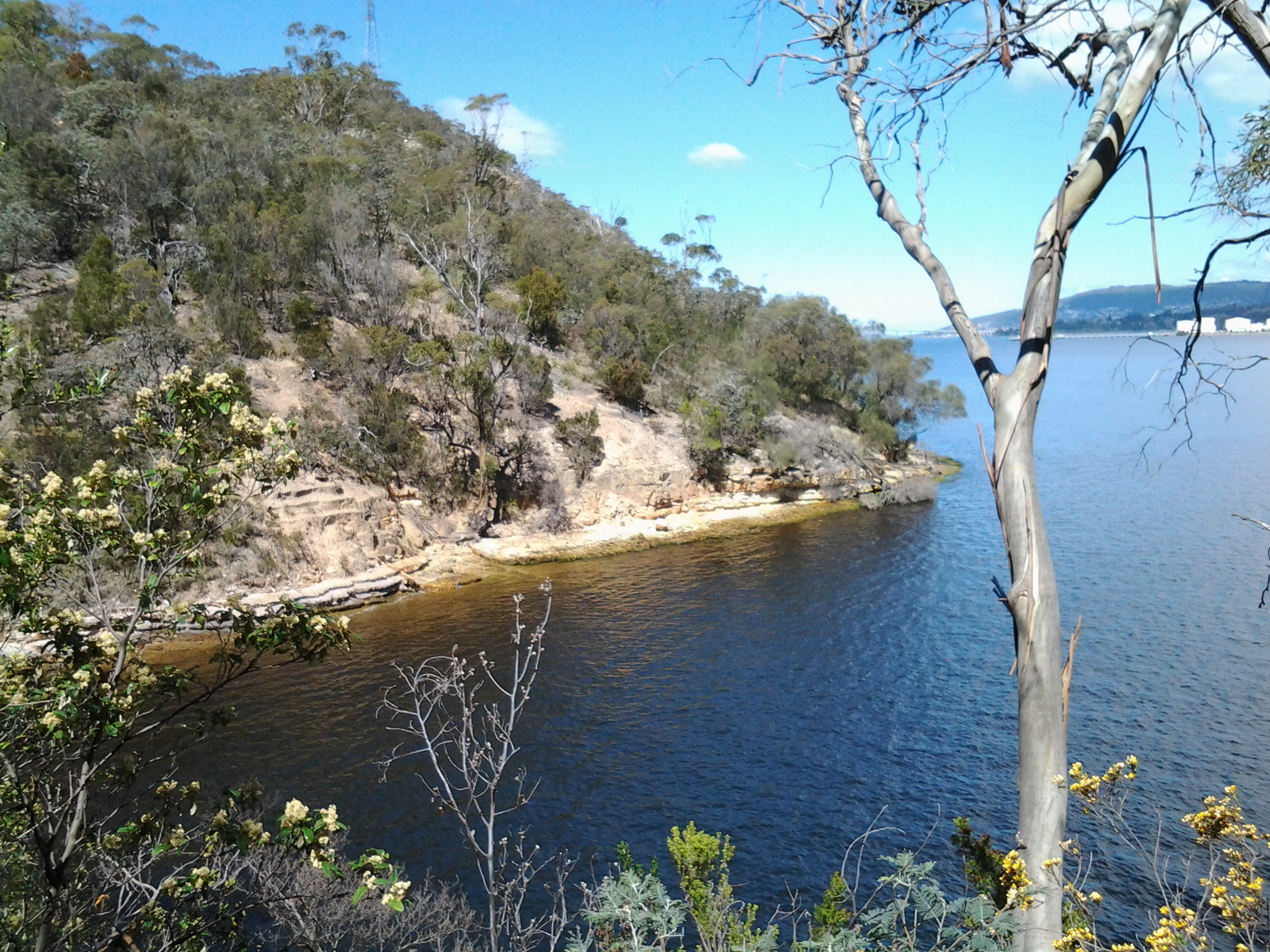
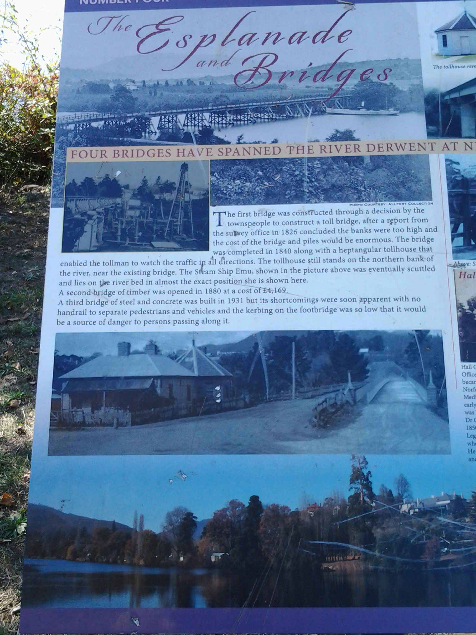
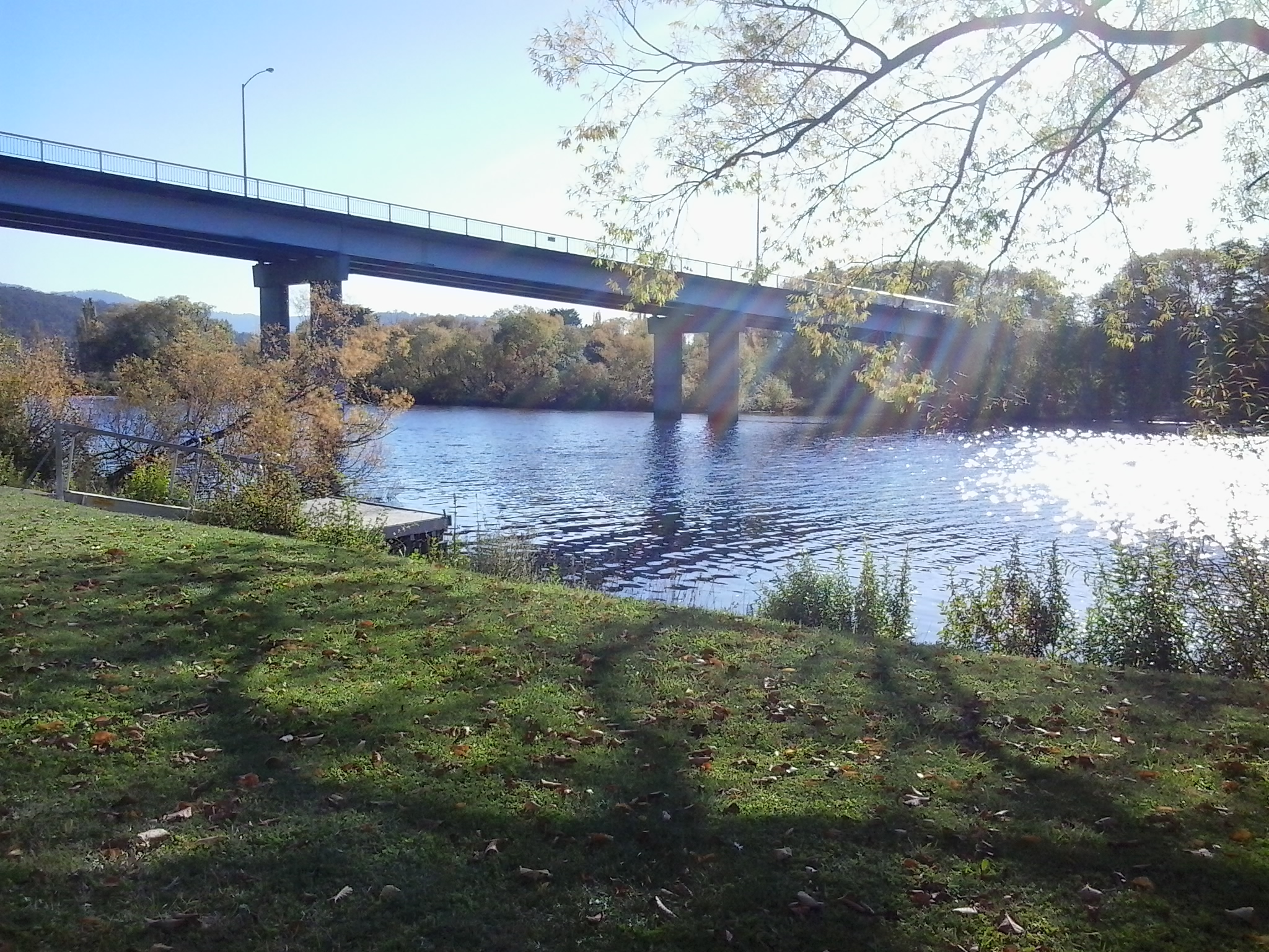
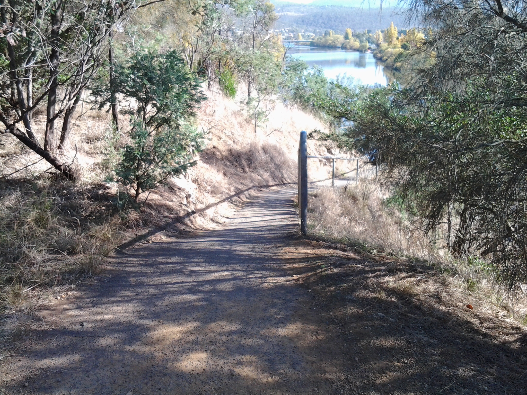
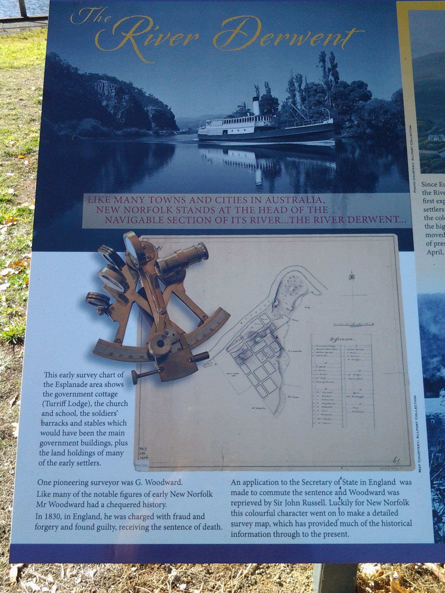
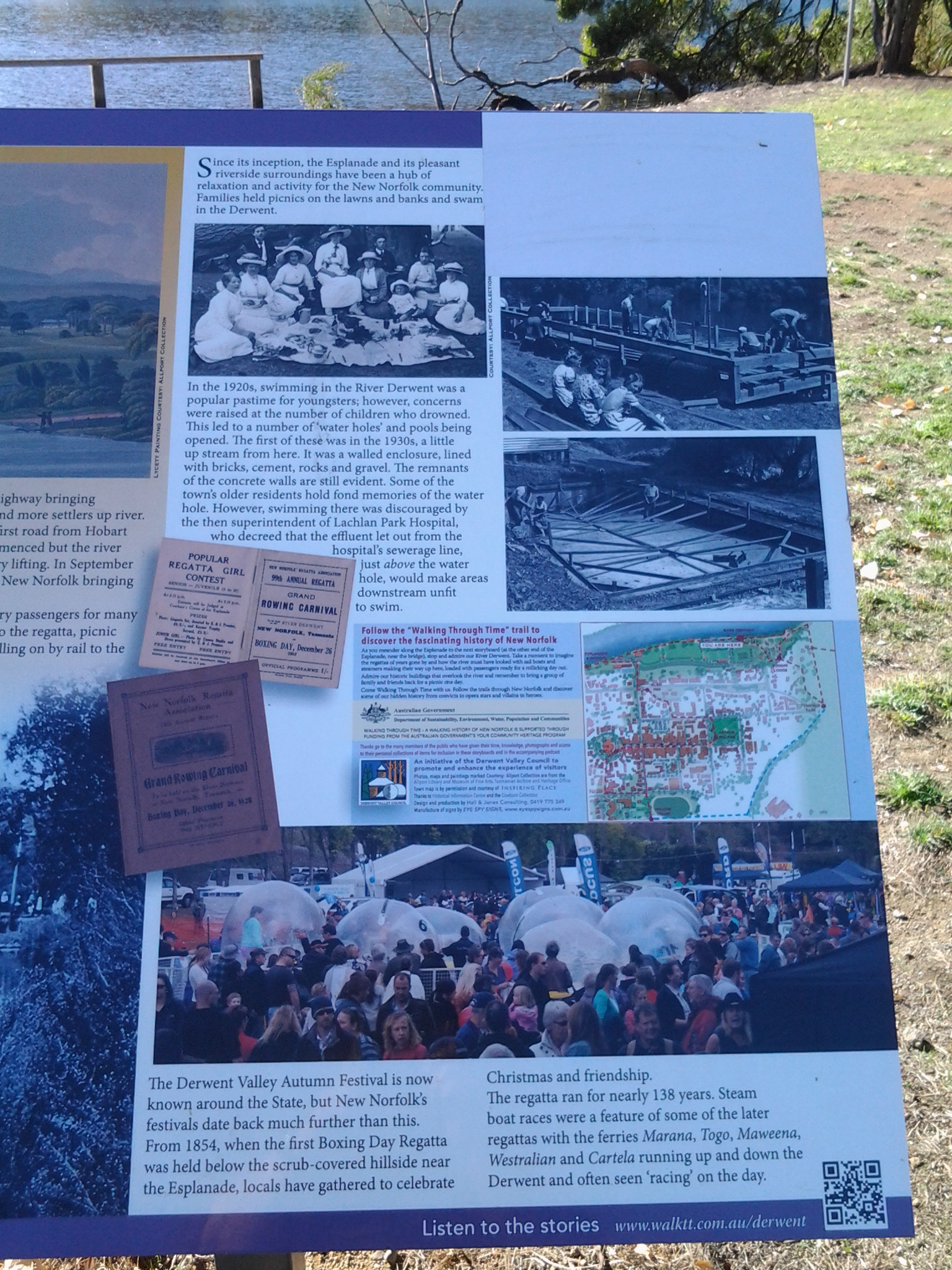
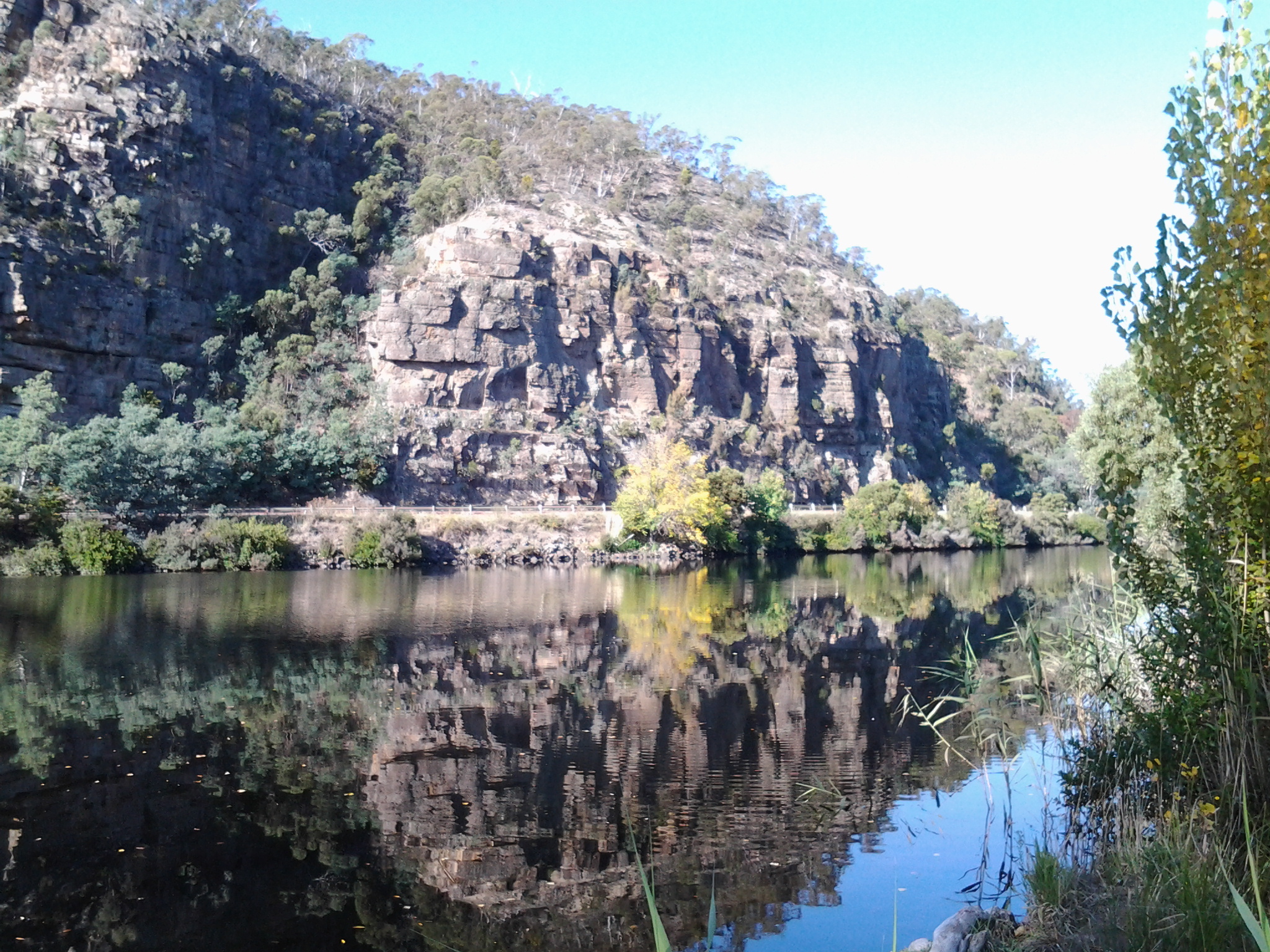
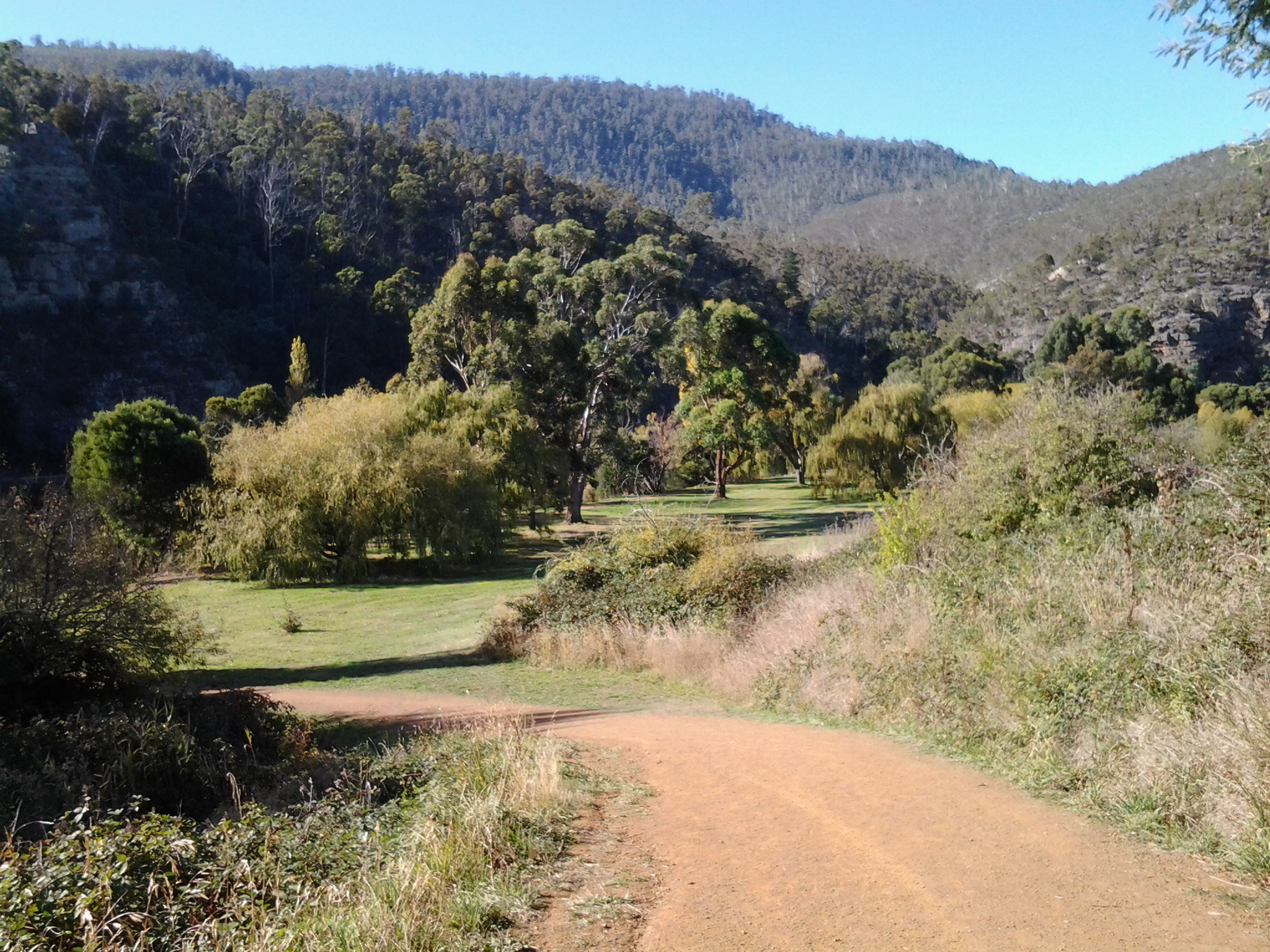
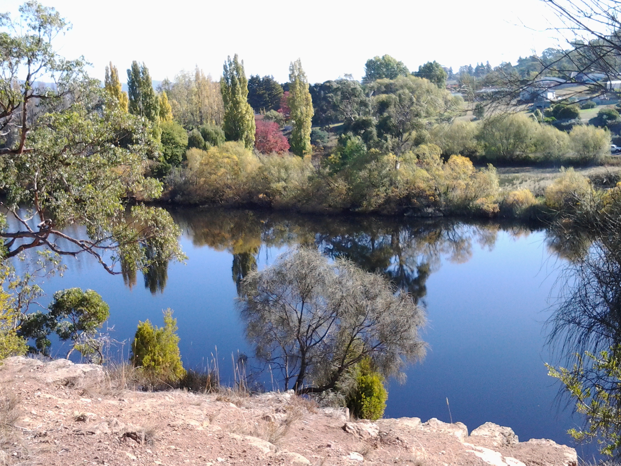
A standout was the story of a walk from ‘Trial Harbour to the Ouse” because the journey relates to some of the area over which I may walk later this year when I restart my walk along the Derwent River.

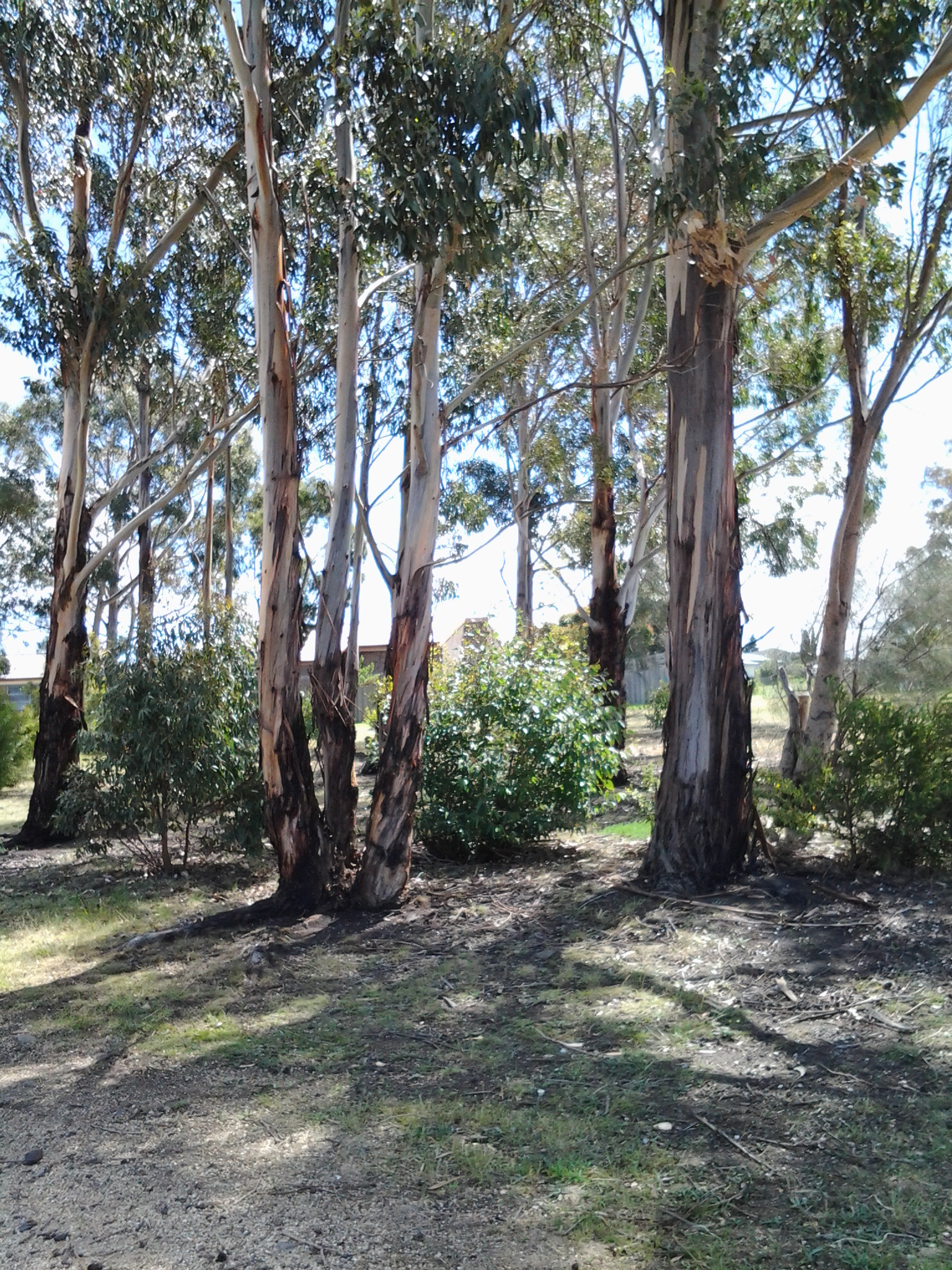
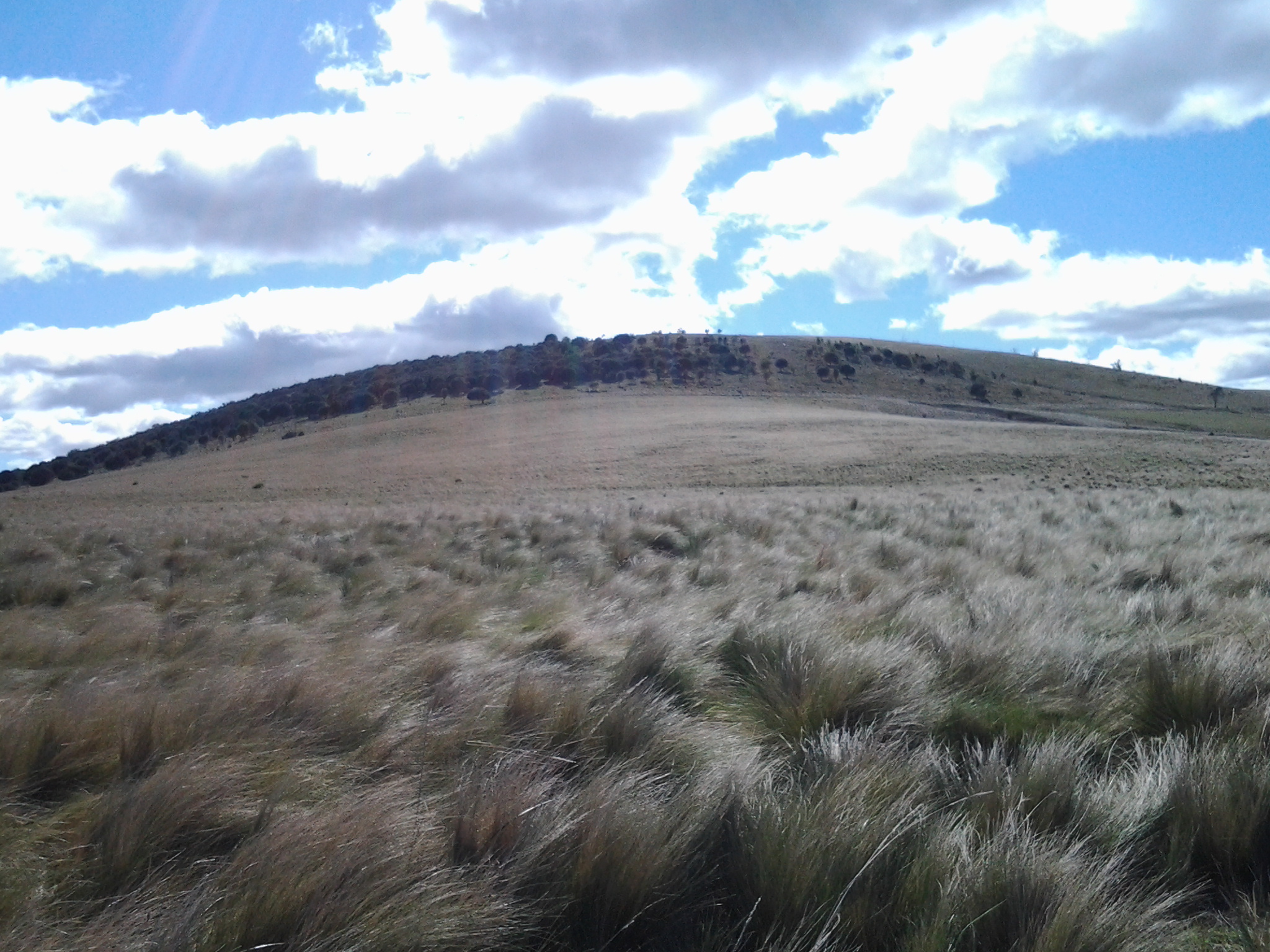
Trial Harbour is an isolated tiny community on the west coast north of Queenstown where, these days, the few shacks are built with the strangest chimneys to cope with the weight of the westerly winds which blow fiercely from across the Indian Ocean. The Ouse refers to a small town, then hamlet, somewhat south of the centre of Tasmania and situated most remotely from civilisation.  Back then, it took a day’s coach and train ride to reach Hobart. These areas and the land between is an exceptionally rugged environment today and I have difficulty imagining the situation in the 19th century when the walk in the story was taken.

The subtitle of the 1890s story was ’A Lady’s Walking Tour on the West Coast’. A woman (no name) walked with her husband and a dog through ‘untamed’ wilderness, along mining and forestry tracks and the occasional muddy rutted roads.  They climbed mountains, crossed button grass plains and walked through valleys.  She recorded “More than once we were asked our business, the notion of travelling on foot for pleasure in these regions appeared preposterous.” I would say such a walk is extraordinary in this day and age, and totally amazing 125 years ago.  Innovative means were taken to cross rivers. Overnight accommodation was found in out of the way tiny remote mining shops, shacks, huts and the occasional Inn. Telegraph wires were often their only guide for a way forward. Through the rugged wilderness, routinely they walked 17 or more miles (27+kilometres) each day and on one day they walked 33 miles (53 kilometres). I am staggered.  I know the challenging environment in which they walked.  The mountains are many and very steep with ravine and river gullies that are cut into the rock deeply.

Her pack of provisions weighed 7 pounds while her husband carried 21 pounds.  This makes me wonder if contemporary bushwalkers aren’t tough enough – or are we trying to be prepared for every eventuality. The good will of people they met and the willingness of others to share their meagre food supplies, and help with sleeping arrangements, was perhaps something that could be taken for granted in 19th century Tasmania. Generous hospitality as a given.  ‘We got some bread here, and at a house a mile further on the track, some milk, the first fresh milk we had tasted since Waratah.’  This comment indicates she was walking across Tasmania before Trial Harbour – the significant mining town of Waratah is quite a distance north east of Trial Harbour.  So I suspect there may be earlier stories of her walking across other parts of Tasmania – I look forward to conducting research to find records of these.

The crustacean that walks – and only in Tasmania

My last post introduced a giraffe who took a long walk. Since giraffes typically walk as part of their locomotion, the surprise of that story cannot be as great as the fact of the shrimp (prawn if you like) which walks around the high creeks and streams which flow down into the Derwent River in Tasmania.

Anaspides tasmaniae from Parks&Wildlife Service

(Photo courtesy of Parks & Wildlife Service Tasmania – http://www.parks.tas.gov.au/indeX.aspX?base=11244)

Geoffrey Smith, in his book A Naturalist in Tasmania (Oxford, 1909), describes the Anaspides tasmaniae. “A number of streams rise in the plateau of Mount Wellington, some of them attaining a considerable size before joining the estuary of the Derwent, and all of them characterised by the beautiful clearness of their water, owing to their beds being formed entirely of hard greenstone boulders.

In the pools of the upper reaches of these streams near the top of the mountain, a very peculiar shrimp-like animal is found.  It is now recognised as one of those survivals of a bygone age of which the Australian continent has furnished so many and such interesting examples. The nearest allies of this animal appear to be some marine shrimps which come down to us as fairly common fossils in the sand deposited round the Permian and Carboniferous seas of Europe and North America: subsequent to this very remote period they do not seem to have existed in the seas, at any rate in the northern hemisphere, so that an enormous passage of the earth’s history has occurred between their peopling the northern seas and their survival on the mountain tops of Tasmania.

The Tasmanian Mountain Shrimp (Anaspides tasmaniae) is sometimes as much as two inches in length, of a brown colour, and walks about on the stones and among the weeds at the bottom of the pools, browsing on the mosses and liver-worts and any small creatures it can catch; it very rarely swims, but when frightened it darts forward by flicking its tail and takes cover under a stone.

In other parts of the world no trace of the animal’s survival has been discovered.

Goethe somewhere remarks that the most insignificant natural object is, as it were, a window through which we can look into infinity. And certainly when I first saw the Mountain Shrimp walking quietly about its crystal-clear habitation, as if nothing of any great consequence had happened since its ancestors walked in a sea peopled with great reptiles … time for me was annihilated and the imposing kingdom of man shrunk indeed to a little measure.”

The website http://www.anaspides.net/other/website_name_why.html believes “Anaspides tasmaniae has remained unchanged for 250 million years (Triassic Period): it is a living fossil. The first published record of Anaspides tasmaniae was made in 1893 from alpine pools on Mt. Wellington behind Hobart.”  More details about this discovery, and about the later involvement of the author of the book excerpt above, Geoffrey Smith, can be read at http://www.tasfieldnats.org.au/TasNaturalist/Articles/1967/TasNat_1967_No8_Feb_pp1-2_Hewer_AnaspidesTasmaniae.pdf

The glow of bioluminescent phytoplankton in the blue waters of southern Tasmania

Near the mouth of the Derwent River on its eastern shore, a natural phenomenon has been sparkling at night. Glorious!

See two stories with the most wonderful photographs, and a short video, at:

http://www.news.com.au/national/tasmania/southern-tasmanian-beaches-aglow-with-sea-sparkle/story-fnn32rbc-1227360083557

http://www.abc.net.au/news/2015-05-19/sea-sparkles-put-on-sensational-light-show-in-southern-tasmania/6480996

Blog written by Chris Linton: Inspirational Tasmanian walker

I have been alerted to Chris Linton’s blog containing lots more information and a button to make donations to the Black Dog Institute.  Go to: http://www.earthwalkcommunity.com/

1400km walk around Tasmania concluded yesterday: congratulations Chris Linton

A few weeks ago I read that a Tasmanian father and son (Chris and Kelvyn Linton) were planning an unsupported long-distance charity walk around the perimeter of Tasmania. This huge ambition filled me with excitement, and I hoped they would be able to achieve their goal.

While his son walked 20 of the 46 days it took for the walk, Chris Linton battled around every metre of the coast line.  Chris is reported as saying ‘Out of Queenstown, that hill is unforgiveable. The weather through that mountain pass was quite extreme – lots of snow and constant rain for two weeks.’ Refer to http://www.themercury.com.au/news/tasmania/epic-blues-beater-puts-dad-on-the-map/story-fnj4f7k1-1227357590621 for the arrival story, at Salamanca on the edge of the Derwent River.

I believe his walk is a significant achievement in one of the most challenging environments in the world. I am in awe of what has been done, and even more so because much of the walk was undertaken during one of Tasmania’s most bitterly cold and stormy periods.

More information about this trek, to raise funds for the Black Dog Institute, can be read at http://www.blackdoginstitute.org.au/docs/TasmanianresidentsChristopherandKelvynLinton.pdf

You can read more about an earlier stage of the walk at: http://www.themercury.com.au/news/tasmania/chris-linton-nears-end-of-walk-around-tasmanias-perimeter/story-fnj4f7k1-1227351866303

As a war veteran suffering from post-traumatic stress disorder, I hope the soothing effect of Tasmania’s wilderness environment and the flood of positive endorphins encouraged by the continuous activity, have been healing forces for Chris. An amazing personal achievement! Congratulations Chris Linton!

More natural beauties stages 11 -14

As some followers remarked on earlier postings, my selection of past photos on different walk stages has given me a chance to ‘relive’ the experiences. Here are some favourites from the last 4 stages of my walk along the Derwent River.

20150119_071956

I love the Hobart wharf area with its crab and other fishing vessels.

20150119_072334

I love the pretty 19th century buildings lining Hunter St, one of the first settled areas in Hobart.

20150119_071536

I love the drama of the Federation Concert Hall where the Tasmanian Symphony Orchestra presents great performances.

20150119_073636

No water is spared. The Parliamentary gardens are always lush and green.

20150119_084657 20150119_101600

I love the juxtaposition of the old and new: at Wrest Point Casino; at Lower Sandy Bay’s Blinking Billy against new modern houses.

20150119_085149 20150119_100336

Fresh beaches. Serenity.

20150119_095728 20150119_130442

Public sculpture.

20150119_124053 20150202_142013

Coastal walking tracks.

20150224_075230

Great signage

20150202_095936

The heritage listed Shot Tower near Taroona

20150202_112545

A rough bark and branch ‘hut’ near a track. Shelter from any rain?

20150202_142352

Natural rock caves

20150224_081151

Dramatic viewpoints

20150413_125912

The sun. The reflections.

20150413_131826

Looking at, listening to, smelling the bush.

20150413_140030 2015-04-13 15.11.08

And I appreciate the glories of introduced trees and man-made vistas.

Collectively these images provide a reminder of what sits beside the Derwent River as it flows from New Norfolk to its mouth.

Another revision: naturally therapeutic images from stages 7-10

I can’t help myself. Having reviewed my favourite images from the first half a dozen stages of my walk along the Derwent River, I felt compelled to continue looking through my collection from the subsequent walks.  I have chosen photos showing aspects of both the natural and man-made world and I believe all will prompt thinking about the Derwent River, Hobart and its suburbs, and the natural environment. My selection of the images with the most memorable impact for me, from stages 7-10, are given below.

20141031_094126

From the eastern shore looking northwards towards the Bowen Bridge, with a couple of black swans on the river.

20141031_100200

Two plaques ‘opened’ by two great Australian prime ministers near the Bowen Bridge.

20141031_104822

The rusting raw-edged remains of a ship, the Otago, at Otago Bay.

20141031_113132

My enjoyment of any family’s black sheep.

20141031_123000

Heading into Old Beach and gradually leaving Mount Wellington behind.

20141031_132519

The gloominess of the approaching storm when I reached Old Beach.

20141111_092342 20141111_092805

The pleasures of well-made pathways, thanks to local government.

Green Point from new Old Beach

Looking northward across the Jordon River to Greens Point.

20141111_103700 20141111_121906

The glories of native flora. In these instances, it was blooming wattle and a spectacular stand of eucalyptus/gum trees which attracted my attention.

20141111_120752

The remains and the signs of a burnt out car on a back track.

20141111_130523

Knowing that it is still possible to have a laugh when walking.

20141111_131133

Arriving at the Bridgewater Bridge.

20141111_134311

Walking on the western shore of the Derwent River for the first time during this project.

20141125_095438

The house of one of first European settlers, James Austin, at Austins Ferry.

20141125_115047

At Dogshear Point, walking around the Claremont golf course, with the thwacking sound of hit balls crossing the greens.

20141125_110906

Reaching Cadbury’s chocolate manufacturing factory in Claremont.

20141125_143454

The hand-hewn rustic style seat near Connewarre Bay.

20150109_074126
Passing MONA somewhat camouflaged as it nestles into a tiny hill against the Derwent River.

20150109_081644

The mosaics along the foreshore.

20150109_101243

The jumble of boats and boat houses at Prince of Wales Bay.

Hoon tyre marks

Road mark making in Lutana.

20150109_132008

Cornelian Bay’s oil tanks up close.

20150109_153103

The Tasman Bridge.

20150109_155515

The circus had come to town.

20150109_161747

The emptiness of an arena of stands waiting to be filled during wood chopping competitions.

20150109_161339

Reaching the ‘end of the line’ on arrival in Hobart city.

Nature is cheaper than therapy

A Californian fiction writer M.P. Zarrella offered the opinion ‘nature is cheaper than therapy’.  Since then, her point of view has spawned posters, cushion covers, and T shirts such as:

Nature cheaper than therapy  and tshirt nature its cheaper than therapy

The use of this comment spread until people couldn’t help themselves …

facebook cheaper than therapy and Beer is cheaper than therapy

Thinking about whether nature is cheaper (with the inference of ‘better’ than therapy), I have been inspired to trawl through my walking-the-derwent photos.

Here are a few favourite natural scenes clicked during Stages 1-6 of my walks along the eastern shore of the Derwent River.  Most of these images spent time as my computer screen background where they lifted my spirits daily.

20140822_100301

Iron Pot off the southern end of South Arm peninsula

20140822_101716

Driftwood beach shack on Pot Bay Beach, South Arm peninsula

20140822_114606

Mount Wellington across the Derwent River from South Arm Beach

20140904_110312

Looking northwards into the gigantic Derwent Harbour from Gellibrand Point at the northern end of the South Arm peninsula.

20140920_102738

Looking uphill from Trywork Point

20140926_095629

Lichen on rocks at Tranmere Point

20140926_104056

Little Howrah Beach

20140926_115158

Looking southwards along Bellerive Beach

20141010_093842

The suburb of Sandy Bay across the Derwent River through the casuarina trees from Rosny Point

20141010_123003

Tranquil Geilston Bay looking toward Mount Wellington

20141015_101248

Bedlam Walls Point

20141015_104855

Shag Bay

20141015_122048

Native flowers in the East Risdon State Reserve

20141015_133435

Tommys Bight

Whenever the weather is deteriorating outside my window, by looking at these photographs from the first 6 of 14 walking stages, I ‘revisit’ the various locations and feel most uplifted. No therapy needed here.

Another Derwent River transport service may be disappearing

A few days after I wrote the post about the end of the water taxi business on the Derwent River indicating my sadness for such short sightedness by the community and government agencies, I have discovered another sad tale. It was with horror I read the story at http://www.news.com.au/national/tasmania/tasmanian-air-adventures-in-liquidation/story-fnn32rbc-1227328240883.

Tasmanian Air Adventures, despite being incredibly popular and forever in the air over the Derwent River, has not been able to recoup its establishment expenses and get into a profit position. The result is the owners have run out of money and the business has gone into liquidation.

The outcome has been immediately clear to me. I had become used to seeing, many times a day, the water planes lifting off from the waters of Salamanca Cove in the centre of Hobart, and flying along the Derwent River.  And now only seagulls fly where once flew entranced tourists and locals.

In a city which has one of the best waterways in the world, Hobart is missing the opportunity which any other city in such a location would be grabbing and making work.  Blog followers keep telling me how much they enjoy my photos and information about what can be seen at the shoreline of the Derwent River.  I feel sure others would feel the pleasure which the river can offer, as well as appreciating its functionality to transport them hither and thither.

Years ago the Tasman Bridge was accidentally knocked down and immediately people became used to ferrying across the Derwent River/Harbour to and from work. The concept that the river is a lifeline and a connector of peoples; one which wants to be used, seems not to be factored into any level of serious government thinking.  Meanwhile valuable resources are used to create more and more city carparks.  Say no to car parks, I say. Say yes to ferry and air travel along the river.

Water Taxi ferry stops operation

Many weeks ago I  joined a group of mad hatters (the Scarlatt O’Hatters local group all decked out in purple clothes and donning elaborate red hats) on a river journey upstream from Sandy Bay to New Norfolk on the Derwent River.

I loved the historical information which the water taxi driver provided about features as we passed the shoreline of the river. He deliberately drove the boat into particular bays with specific and interesting histories. At that time, I had walked both the eastern and western shores of the Derwent River and had researched and seen a great deal, however, during the boat ride I gained new information.  More delightfully I saw the land from a new angle and appreciated the Derwent River quite differently.  It was an experience about which I enthused to friends and encouraged them to try.

So it is not surprising that when, not so long ago and since that memorable trip by water to New Norfolk, the story of the ceasing of this water taxi business became big news, I was stunned.  You can read more at http://www.themercury.com.au/news/tasmania/hobart-water-taxi-operator-rod-howard-winds-up-after-seven-years-of-feast-or-famine/story-fnj4f7k1-1227278029630

I am very sorry that Rod Howard felt he had to pull the plug and close the service.

The Derwent River is an extraordinary resource which should be used frequently by commuters and tourists. The harbour is one of the most picturesque in the world, yet people are have not been patronising services sufficiently for someone to be gainfully employed. Alas, there are no longer any commuter services on the water, and apart from the MONA ferry, the Peppermint Bay cruise and the historic old Cartela, there are few other locals boats plying the waters to carry locals and tourists around.

New Norfolk

New Norfolk is a Tasmanian inland town which sells itself as the Capital of the Derwent Valley. The undulating countryside around and the more majestic peaks in the distance make this town one of the most beautifully set in the region. The town’s social and cultural history is rich and the architectural remnants are everywhere to be seen.

The website at http://www.newnorfolk.org/ contains much interesting information and I particularly like one of the image pages where an early photo of a building or location sits next to a more recent photo in the same spot.  From this website you learn that ‘New Norfolk was the third planned settlement to be undertaken in Tasmania, after Hobart and Launceston.’ 

On the history page, you will learn about the connection between the Norfolk Island penal colony and the settlement of New Norfolk.

‘New Norfolk was at first known as “The Hills” because of its setting among hills, valleys and gentle streams.   In 1811 Governor Macquarie came to visit Van Diemen’s Land.   He mapped out a town site and named the town “Elizabeth Town” (after his wife) in the District of New Norfolk.  The name did not catch on although it was used on and off from 1811 to 1825, but the local settlers, wanting to preserve a link with their old island home, won the day and the town was officially known as “New” Norfolk. The stream called the Thames by the locals, was renamed the “Lachlan” (pronounced Locklon) by Governor Macquarie (in honour of his son). However, although it retains the name to this very day, it is pronounced as “Lacklan” by the locals, much to the confusion of newcomers.’

I strongly recommend this site for its extensive information and superb historical photographs, drawings and reproductions of lithographs.

A second site at http://www.discovertasmania.com.au/about/regions-of-tasmania/hobart-and-south/new-norfolk offers additional information and recommendations for things to look for. when visiting the area. In particular, a convict Betty King/Mrs Elizabeth Thackeray was mentioned as being the first European woman to step onto Australian soil.  You can read more about her at http://monumentaustralia.org.au/themes/people/settlement/display/70623-betty-king and it seems she was buried in a Methodist Church cemetery on Back River Road in New Norfolk (as per the map below). Unfortunately my Stage 15 of the walk, when the weather begins to warm next Spring, will not deviate from the Derwent River to look at this – but if you are visiting, maybe the site will be worth a look.

Map of Betty Kings memorial New Norfolk

My favourite time of the year to visit New Norfolk is autumn when the leaves turn red and gold so that the town almost seems to be on fire in places. Quite wonderful. Notwithstanding this, the other seasons of the year offer their own special characteristics, making the town always interesting to visit. And when the weather fails, you can immerse yourself in the many antique shops.

The last leg to the New Norfolk Bridge on Stage 14

A couple of minutes after passing below the Bush Inn, I enjoyed walking underneath the grandeur of an elderly spreading oak tree.  And then moments later, ahead of me I could see small portion of a massive horizontal girder belonging to the New Norfolk bridge over the Derwent River.

20150413_145236

Information panels provided details about earlier bridges across the Derwent, and historic buildings located nearby.

20150413_145250 20150413_145254

20150413_145302

20150413_145328 20150413_145335

The grand and stately houses pictured above, are located near the bridge.

But back to my path to the bridge. In front of me was a gated fence with a sign informing me the gate was locked overnight.  I pushed it open and walked across an impeccably kept mowed lawn. A private sanctuary. Green and lush. The sparkle on the river to my right.  A strongly built bridge ahead.  I reached my destination for Stage 14 at 2.58 pm.

20150413_145518 2015-04-13 15.11.01

2015-04-13 15.11.08 20150413_145514

Instead of charging off up and into the New Norfolk township, and finding a bus to return me to Hobart, I lay down on that green carpet and, soaking in the sun, I felt incredibly fortunate.

My stage 14 day had started with a  5.30 am rise (in the dark) and a Metro bus departure from central Hobart at 7.17 am. The bus left New Norfolk at 4.20 pm and returned me to Hobart. I walked in my front door at 6 pm (as the sun set) feeling quite chuffed because I had seen and experienced many beautiful natural features, the sun had lit up the landscape and the river, and I had talked with interesting people. A wonderful day!

The scenic walk and something for people living with a disability

My walking pathway along the scenic edge of the Derwent River on Stage 14, passed between the New Norfolk Caravan Park and the glistening river water, so I continued unhindered to amble amidst the glow of autumn gold leaves.

By 2.40pm a new jetty presented on my right, public toilets and a Bowling Club were on my left and, in the air, wild geese honked. I could hear quacking ducks on the river.  I watched squalling seagulls fighting over nothing or so it seemed. A No Through Road sign was set only to control vehicular traffic and it was clear pedestrians were welcome to continue onwards.

20150413_145020

As I approached a large flat platform, at 2.45pm, I couldn’t work out what its reason for existence was.  What I saw was:

20150413_144516

When I read the sign its intended use was clear.

20150413_144505

This is the first time I have seen equipment or structures set out in a community/public space for a person who has a disability so s/he can continue their sport.  I was very impressed.

By 2.50 pm I had looked up onto the top of the hill to my left to see the still functioning 1825 heritage Bush Inn (the Inn was built in 1815). Apparently this is the oldest continuously licensed pub in Australia. You can read more information at http://www.australianbeers.com/pubs/bushin/bush.htm

20150413_144852

Down the 99 steps and towards the New Norfolk Caravan Park

The initial few metres of mildly inclining path gave no warning of the steps to follow.

20150413_142513

20150413_142631 20150413_142738

I loved looking upstream along the blue Derwent River on such a majestic day.

20150413_142733

Once at river level, I wandered through a dappled glade.

20150413_143130

At the start of the caravan park I spotted a panel providing information about the Derwent River, related historical features and the development of New Norfolk.

20150413_143340 20150413_143348 20150413_143354

The time, at this part of Stage 14 of my walk along the Derwent River, was 2.35 pm.

Another idyllic pathway on Stage 14 of my walk along the Derwent River

The world I entered on the pathway away from the Tynward Park sports ovals, was gentle in the autumn afternoon light. Almost a fairyland. A father fishing while his young daughter sat making drawings.  Blue wrens flitting. Seeding bull rushes sending creamy fluff across the path. Superb water reflections.

20150413_132536 20150413_132610

20150413_135943 20150413_135447(2)

20150413_135722 20150413_140007

The dramatic background was the walls of Derbyshire Rocks in startling view on the other side of the Derwent River.

20150413_140106 20150413_140121

How lucky I felt to be able to walk in such a beautiful place, free of all worries.

The track started climbing up and away from the River.

20150413_141031 20150413_141250

Black faced sheep grazed behind fences

20150413_141242

Powerful pylons carried electricity across country.

20150413_141352

I enjoyed the watery views with the backdrop of autumn toned trees and then, with excitement at 2.20pm, for the first time during the walk I saw the bridge in the distance over the Derwent River at New Norfolk.

20150413_141536 20150413_141540

Not much later I came to a fork in the path, but neither track were signposted.  Where to from here?

Large information panels provided information about the nearby historic Turriff Lodge property (on which the black-headed sheep grazed), but nothing about which path went where.

20150413_142146 20150413_142152 20150413_142200