Tag Archives: Derwent Valley Link

Starting out last Thursday

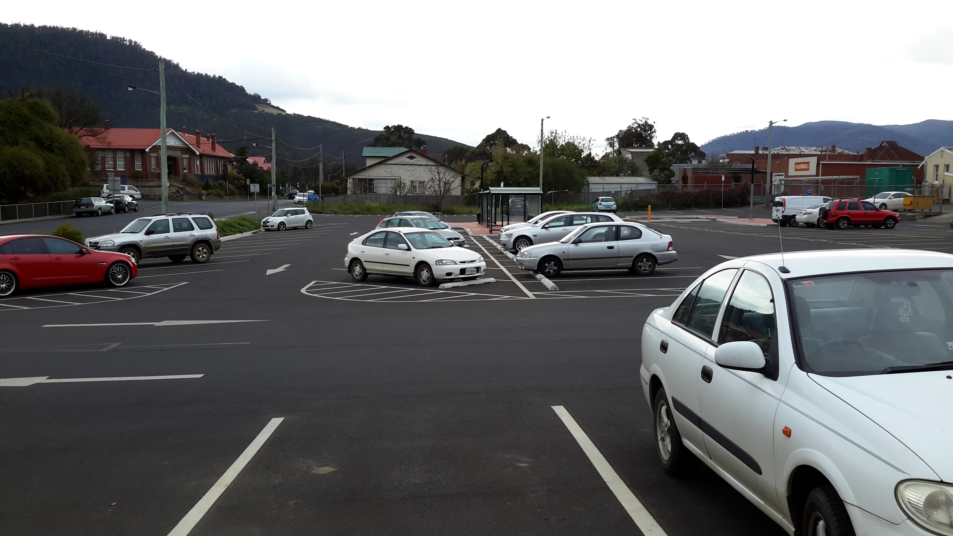
Blog followers know I have waited almost impatiently for Spring weather to arrive; I had been so eager for my walk from New Norfolk to Gretna to be pleasantly memorable.  At home the early morning sun shone and Hobart sparkled.  At 8am the Derwent Valley Link bus departed from the city. I was the only passenger until well into the Northern Suburbs when school kids jumped on and took over – as kids do.  By the time the driver dropped me at New Norfolk central the sky was grey and a stiff cold wind blew. The day seemed as dull as the car park (note the bus shelter in the centre).

20150917_090036

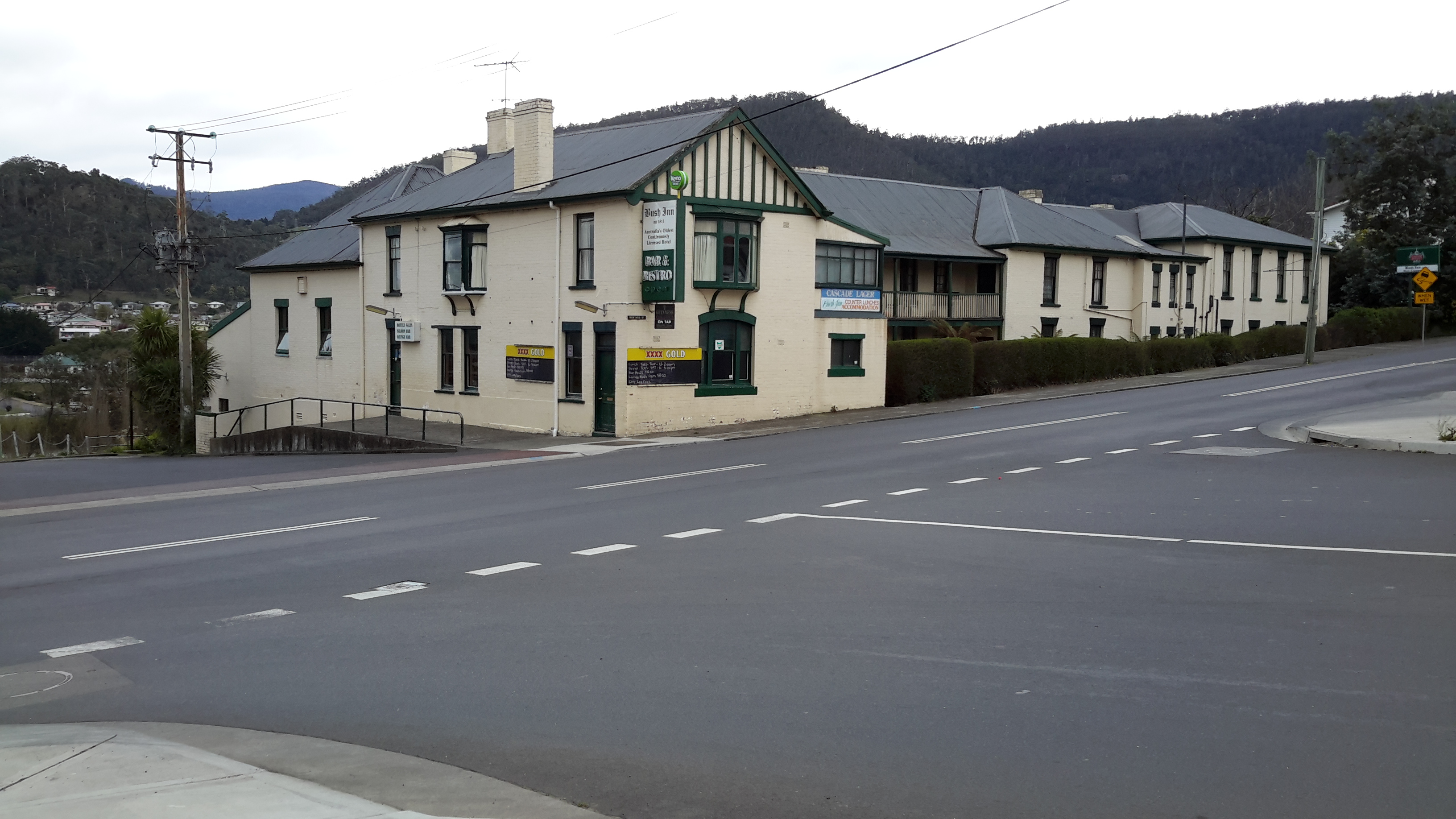
Determined not to be distracted by the weather, I headed off towards the bridge over the Derwent River, past the historic Bush Inn.

20150917_090300

I was ready to follow signs.

20150917_090312 20150917_090405 20150917_090656

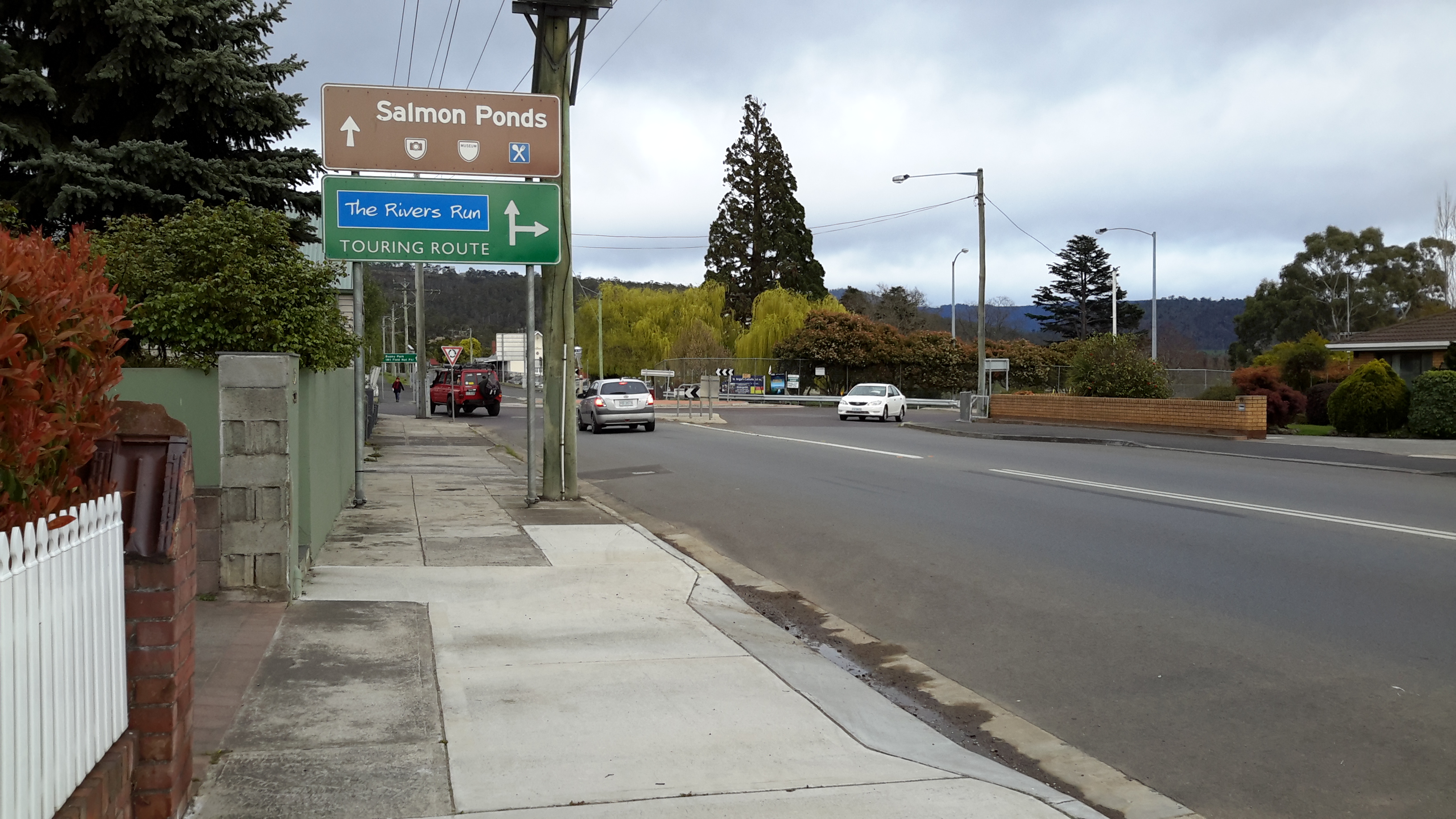
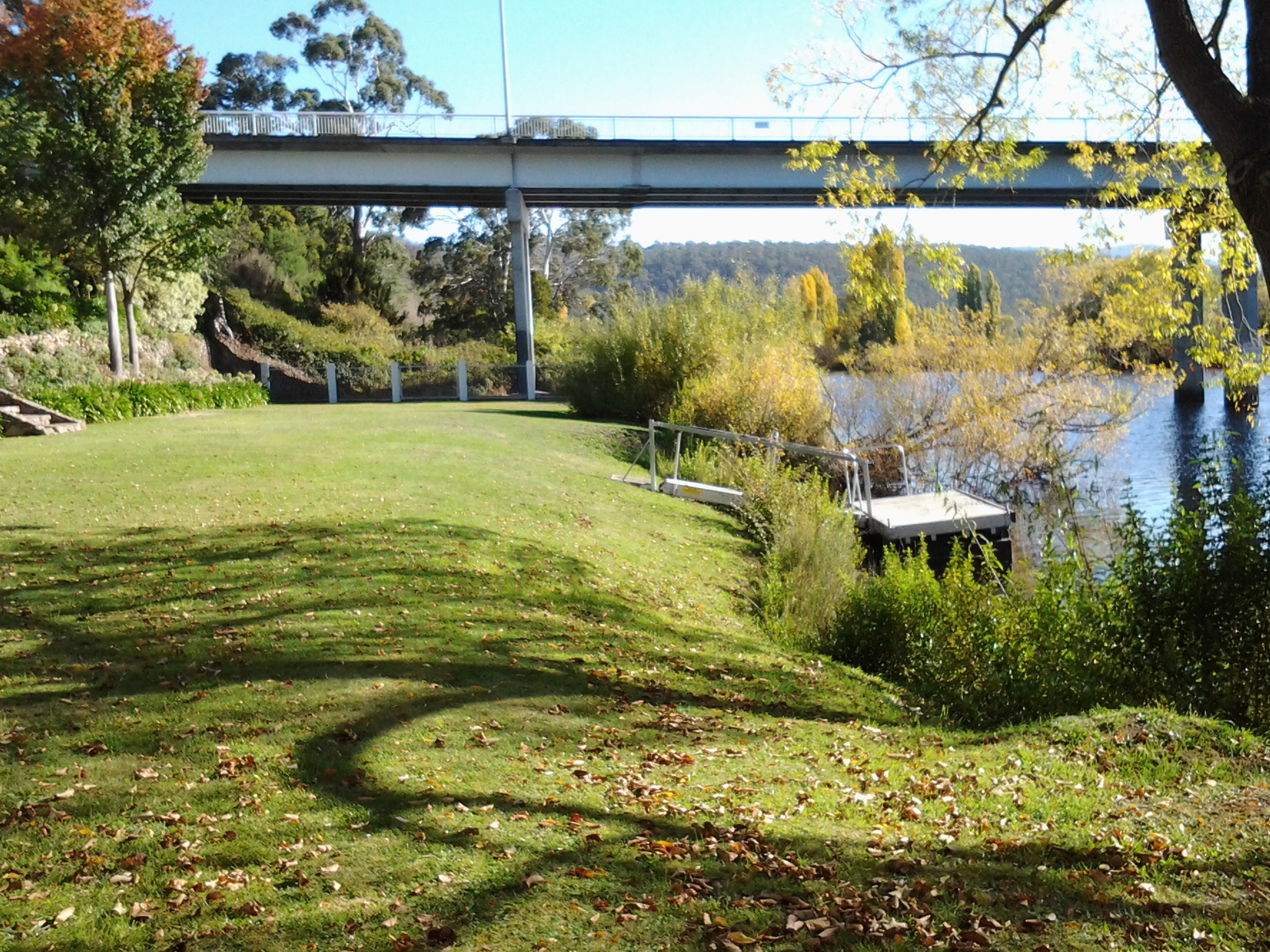
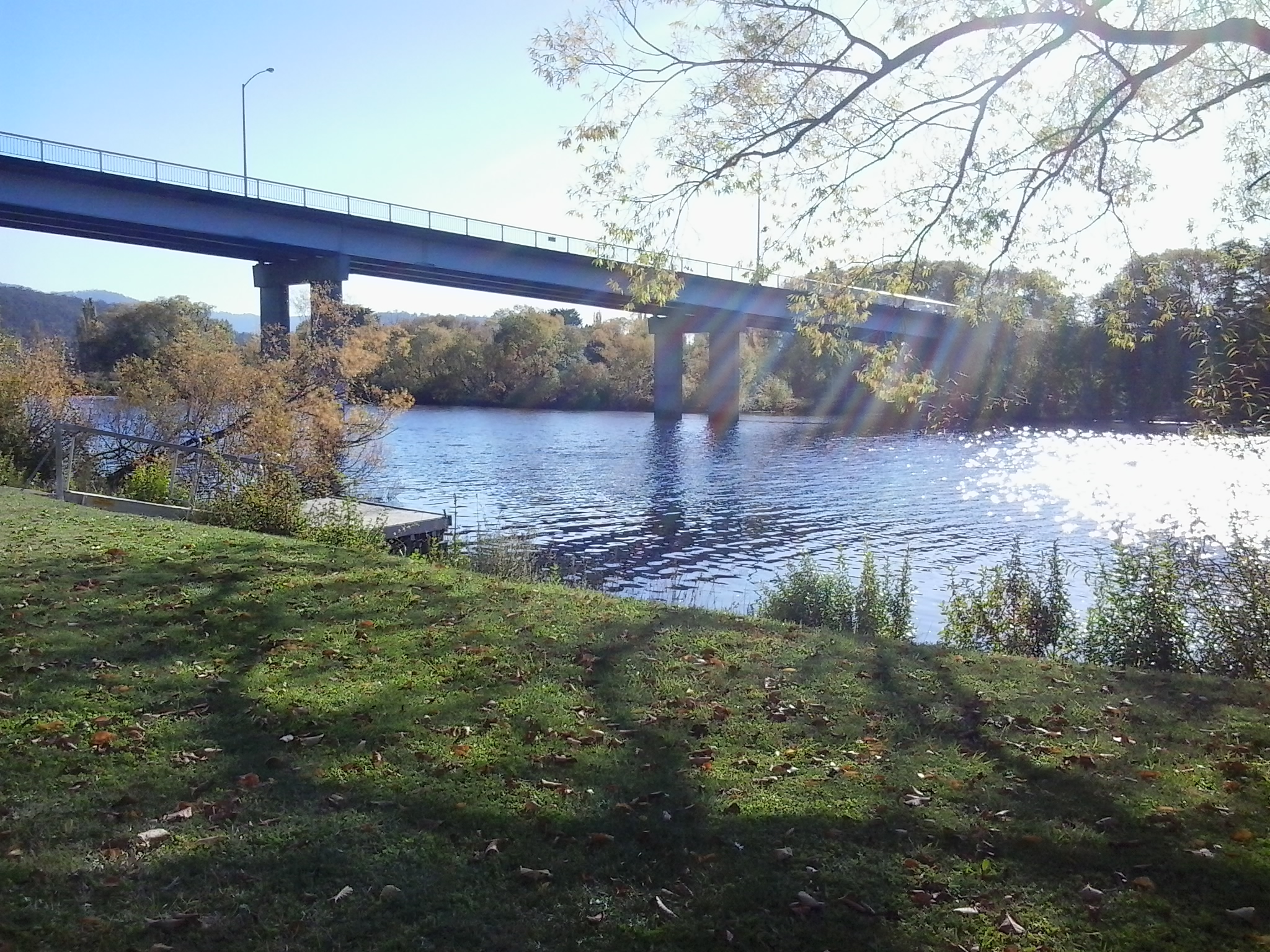
I needed to follow the road which led to the Salmon Ponds (although I expected to bypass this location during my walk), however I deviated to the right so I could stare at the Derwent River from the bridge.  At first I looked down onto the mown lawn where I finished Stage 14 of the walk.

20150917_090850

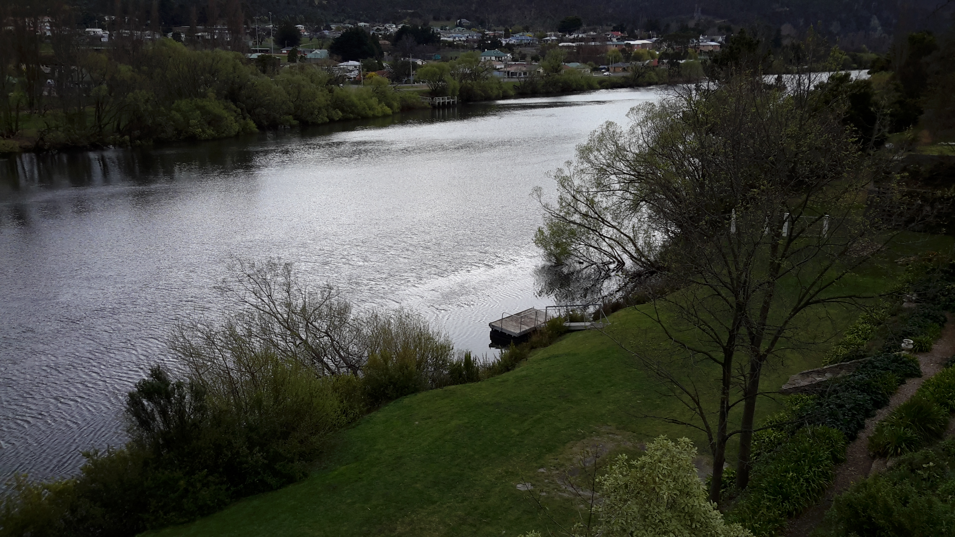
Then I swung around to look at the river from the inland/western side.

20150917_090914 20150917_090928

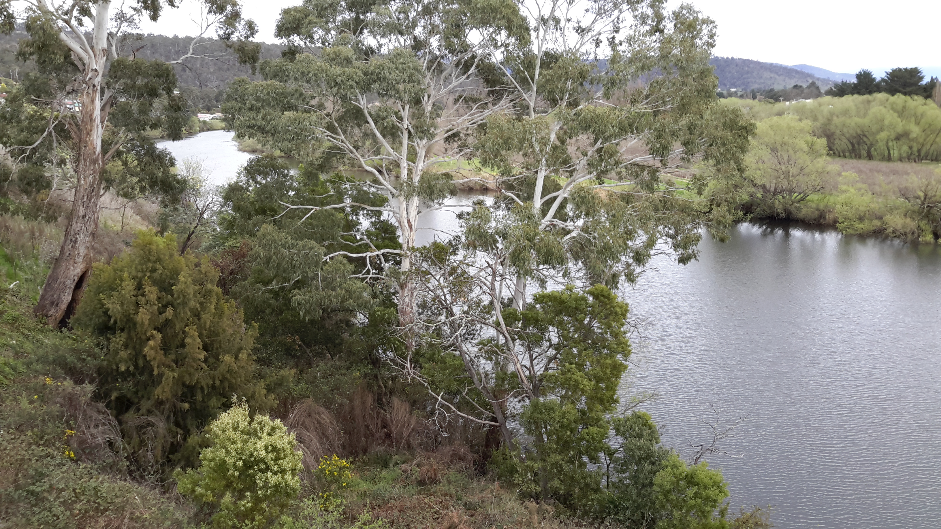
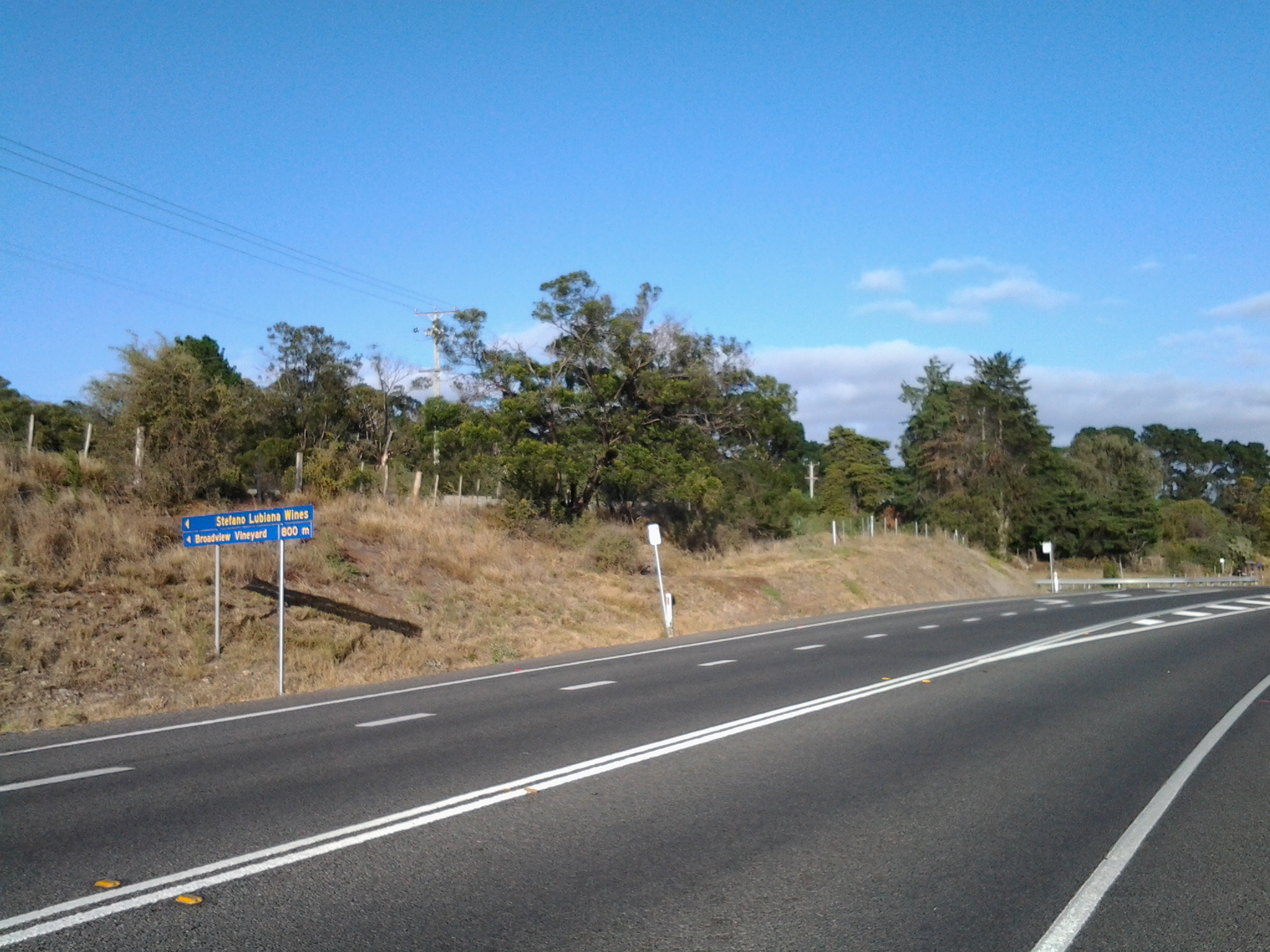
After retracing my steps I was ready to embark on the next adventure. After turning into Glenora Road (designated as B62) on the southern/western side of the Derwent River, I proceeded past St Brigids Catholic School.

20150917_091204

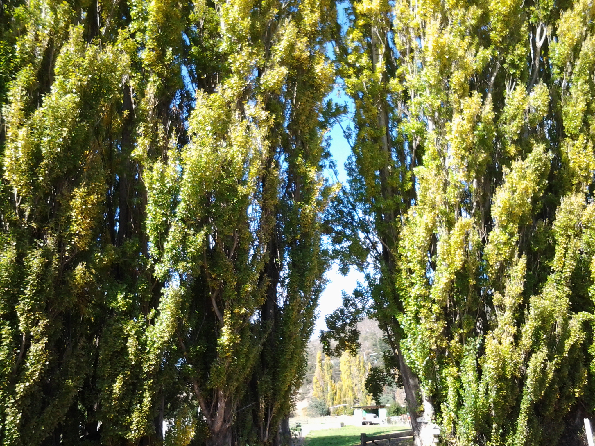
Between the few suburban houses I caught glimpses of the river and then, within minutes, I was leaving New Norfolk.

20150917_092751

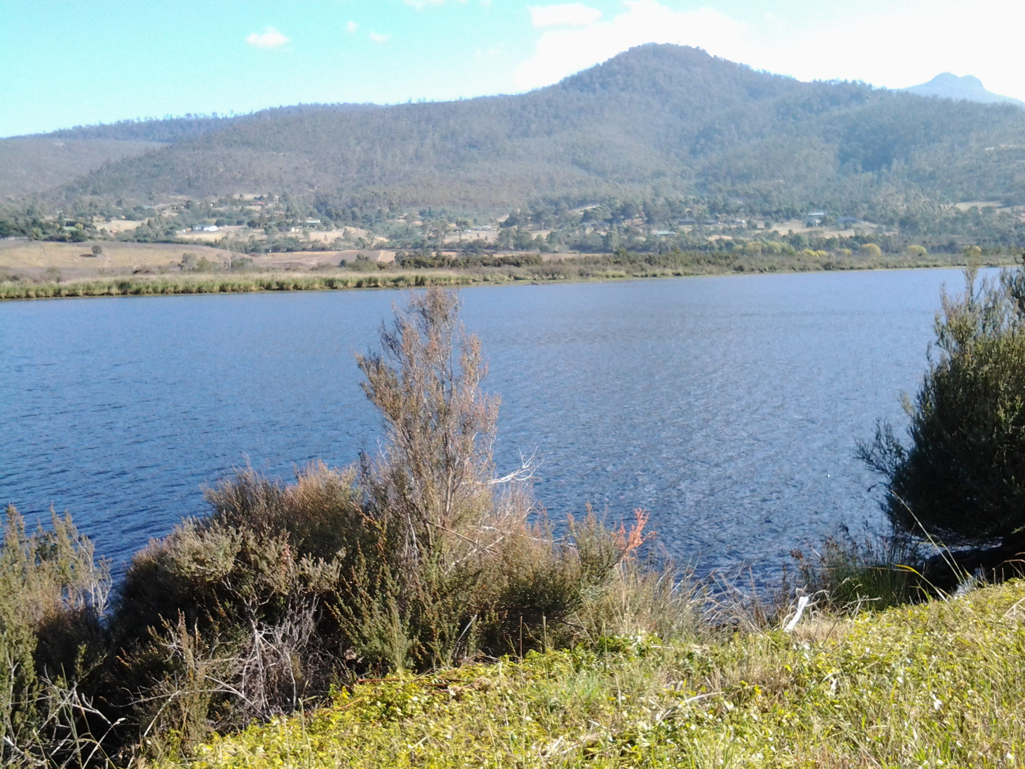
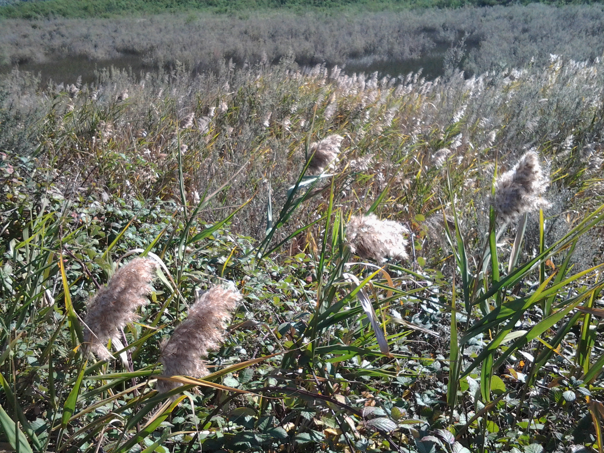
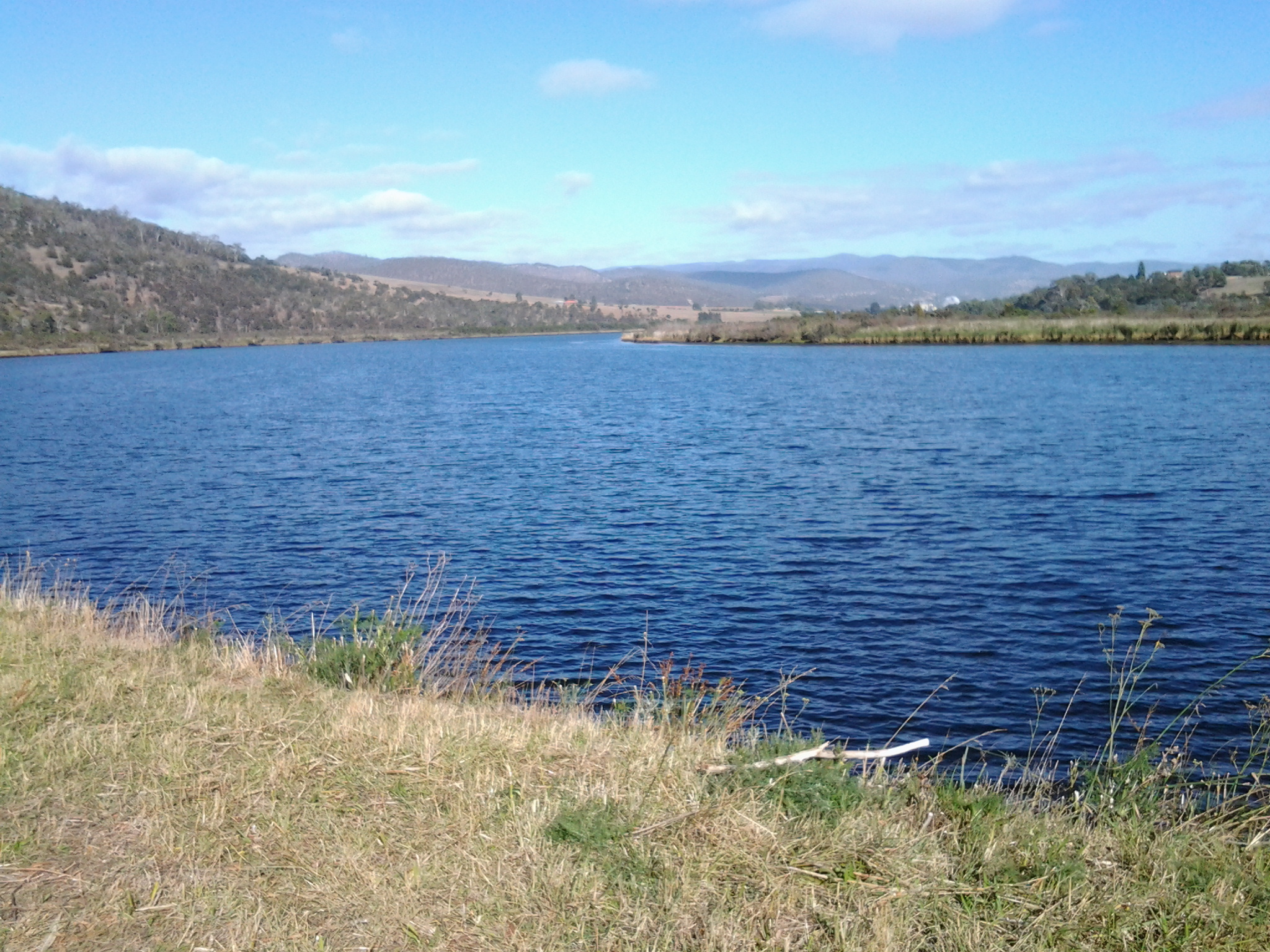
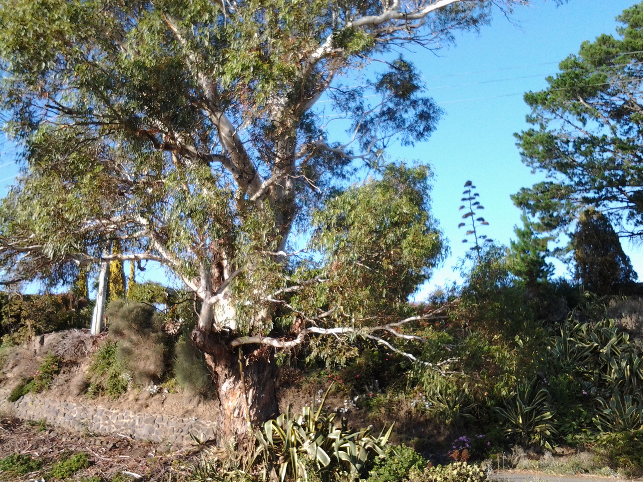
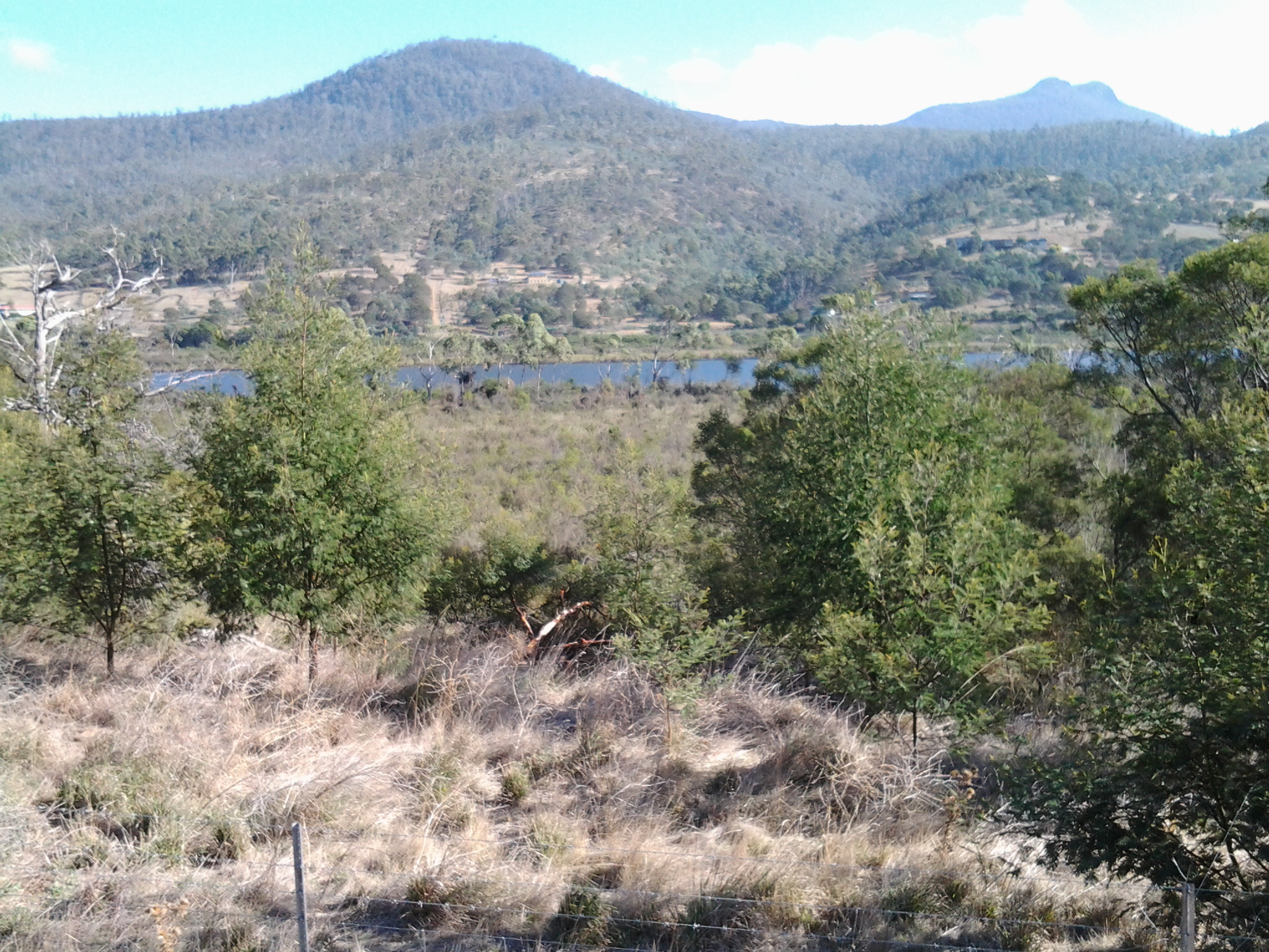
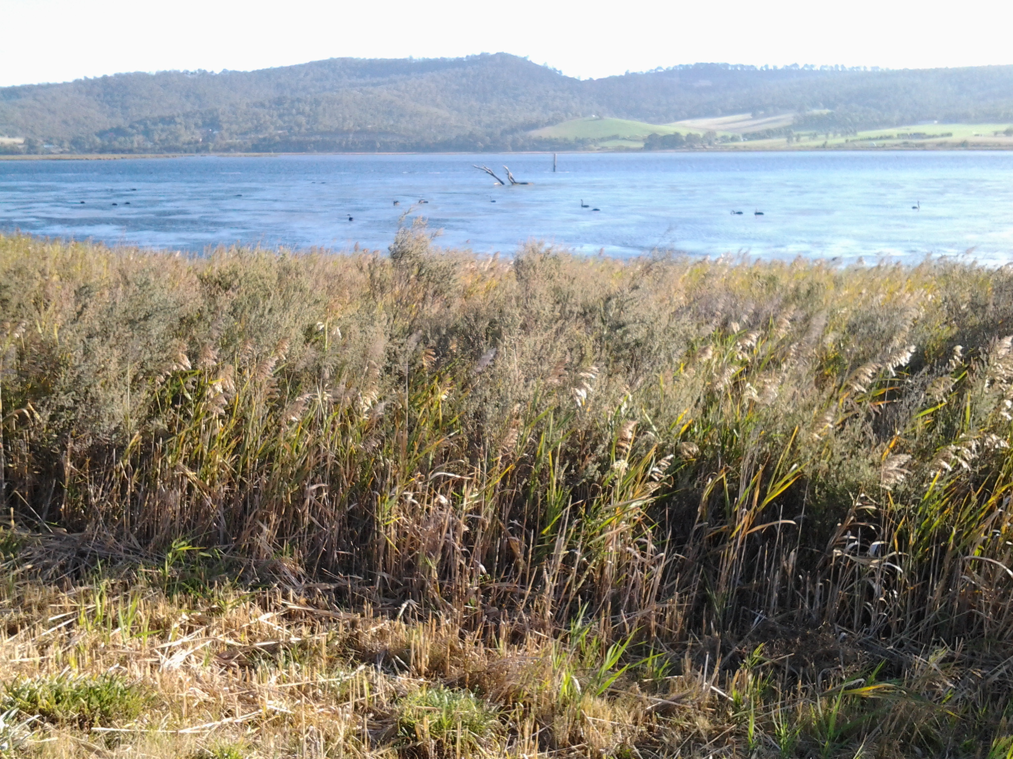
For many kilometres, my view of the river was rationed. Occasionally I spotted the beautiful river through an inaccessible profusion of weeds. Mentally I stripped away the vegetation and loved the changing surfaces of the river and the speed with which it flowed.

20150917_093031 20150917_094036

Everywhere I looked was lushly green or silvery blue. I was thankful that the overcast sky allowed the colours to reverberate and seem so much richer.

The last leg to the New Norfolk Bridge on Stage 14

A couple of minutes after passing below the Bush Inn, I enjoyed walking underneath the grandeur of an elderly spreading oak tree.  And then moments later, ahead of me I could see small portion of a massive horizontal girder belonging to the New Norfolk bridge over the Derwent River.

20150413_145236

Information panels provided details about earlier bridges across the Derwent, and historic buildings located nearby.

20150413_145250 20150413_145254

20150413_145302

20150413_145328 20150413_145335

The grand and stately houses pictured above, are located near the bridge.

But back to my path to the bridge. In front of me was a gated fence with a sign informing me the gate was locked overnight.  I pushed it open and walked across an impeccably kept mowed lawn. A private sanctuary. Green and lush. The sparkle on the river to my right.  A strongly built bridge ahead.  I reached my destination for Stage 14 at 2.58 pm.

20150413_145518 2015-04-13 15.11.01

2015-04-13 15.11.08 20150413_145514

Instead of charging off up and into the New Norfolk township, and finding a bus to return me to Hobart, I lay down on that green carpet and, soaking in the sun, I felt incredibly fortunate.

My stage 14 day had started with a  5.30 am rise (in the dark) and a Metro bus departure from central Hobart at 7.17 am. The bus left New Norfolk at 4.20 pm and returned me to Hobart. I walked in my front door at 6 pm (as the sun set) feeling quite chuffed because I had seen and experienced many beautiful natural features, the sun had lit up the landscape and the river, and I had talked with interesting people. A wonderful day!

Raceway at Sorell Creek

Signs alerted me that I was approaching a raceway on my left as I walked toward the Mountain Dew Race Park on the edge of the tiny settlement of Sorell Creek (which is located closer to New Norfolk than Granton).  Photos on http://www.mountaindewiceraceway.com/ give an indication of the types of vehicles which race on this circuit.  It was all quiet as I walked past, and looking at their events calendar it seems no races are scheduled in the future.

A bus stop for the Derwent Valley Link bus service is located on this part of the Lyell Highway.

It was the rows of poplars changing from summer green to autumn gold that I will remember most. Absolutely stunning.

20150413_111323 20150413_111706

20150413_111901 20150413_111930

Seeing the paper mill at Boyer for the first time during the Stage 14 walk, was a thrill

After 15 minutes of walking, following my departure from the powerboat racing arena, the tarred road verges disappeared and weedy grass grew over lumpy and uneven ground to the edge of the Highway. I was forced to stand clear as cars and trucks approached, but there were moments when I could step out a rhythm walking on the Lyell Highway tarmac.  This situation continued for half an hour, however I was pleased that before and after this section I had a good metre or more width of road verge to walk along safely.

The features that could be seen from the Highway were varied: a feeding family of pelicans across the water; prominent Mt Terra on the other side of the Derwent River with Mt Dromedary behind; occasional tiny creeks lost in verdant grasses passing under the road; vehicle pull-offs at the edge of the road so boats could be entered into the water; corrugated iron cut-out full sized cows standing in a paddock; and a paddock full of horses their heads turned towards the sun.

20150413_100618 20150413_101444

20150413_104129 20150413_110252

20150413_110707 20150413_110741

At one part of the walk, in the distance and way south, the peak ‘Collins Cap’ pointed into the autumn sky.

20150413_105456

The distant paper making mills at Boyer showed their steaming stacks – an expanse of water, farming land or thickets of trees kept me separated. I knew these mills were very close to New Norfolk so that the larger the buildings seemed, the closer I was to reaching my destination.

20150413_100955 20150413_110604

By 10.50am I had a sense that I was returning to peopled land. Firstly I walked passed a long drive leading to a private house at the bottom of the hill; with long rows of old Radiata pines edging the highway.

A few moments later I passed the sheep grazing property named ‘Sunnyside’ on the western side of the road – a sign announced ‘Sunnyside’ was for sale.  You can make an expression of interest at http://www.domain.com.au/property/for-sale/rural/tas/sorell-creek/?adid=2010785567&sp=1 if interested. In the write up on that site, mention is made that the soils are based on limestone – makes the establishment of the lime kilns further south understandable.

At 10.54 am I reached a large cherry growing orchard on my right.

20150413_105358

Over the road to my left, on the property named ‘Scottsdale’ sat two old buildings which seemed late 19th century in architectural style. The sign on the gate declared this was the Derwent Dorper Stud (Rams), however this seems not to have a presence on the internet.

20150413_105407 20150413_105628

I noticed a Derwent Valley Link bus stop outside Scottsdale and the cherry orchard – for fruit pickers or shearers???  Certainly not for me. I had many kilometres yet to walk. New Norfolk was my destination, and so onwards I continued.

Around Windy Point on Stage 14 of my walk along the Derwent River

Despite having driven and been driven along this patch of the Lyell Highway many times, its shape and character were not well known to me. I guess I have always looked out at the Derwent River and more or less disregarded the land.

The area jutting into the River, causing it to curve from a north west to western orientation, has been labelled Windy Point. I reached the start of this about 8.20 and it was another 15 minutes of walking before I reached its western end. There was some wind and when blowing my dribbling nose, the icy breeze flattened my handkerchief across my face. I sought visual distractions against the cold. A magnificent old gum tree amidst a range of exotic plants was a grand surprise.

20150413_081138

On one hill to my left were half a dozen dappled sheep with twins on their teats.  Sometimes their heads were black or brown but most fascinating was the dinner plate sized brown woollen shapes across their otherwise beige woollen bodies. I was too cold to take a photo of this sight.

In parts, the flowing river was a distance from the road.  Between the highway and the clear water, marshy water plants grew profusely, and access to the River was impossible.  The photo below looks across the Derwent River to Mt Dromedary in the distance and Mt Terra in the left  foreground.

20150413_095018

During my walk around Windy Point, at 8.30am I passed the road turn-off leading to Stefano Lubiana wines and noted there was a Derwent Valley Link bus stop on the highway – which, if you are a tourist without transport, would allow you easy access to the winery and the odd glass or two of some special liquid. I didn’t stop and visit – drinking at such an early hour didn’t seem like a good idea.

20150413_082819

Ten minutes later at 8.40am I was passing the road turn-off to the Derwent Estate Wines.

20150413_083657

I was surprised as I passed the estate to see what seems like late 19th century buildings nestled into the hill.  While the website explains: ‘the historic Mt Nassau property has been in the current owner’s family since 1913, I can find no information about these buildings which appear to be an earlier architectural style.  More research required.

20150413_084136

Opposite, in the River and its edging long grasses, white faced herons, coots, ducks and black swans were at home.

20150413_082210 20150413_082826

The day was offering truly magical sights aided by the intense blue of the sky and the water.