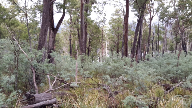
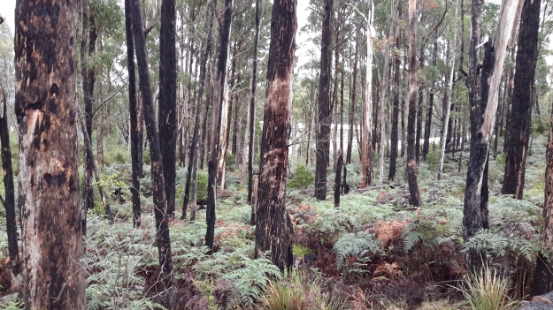
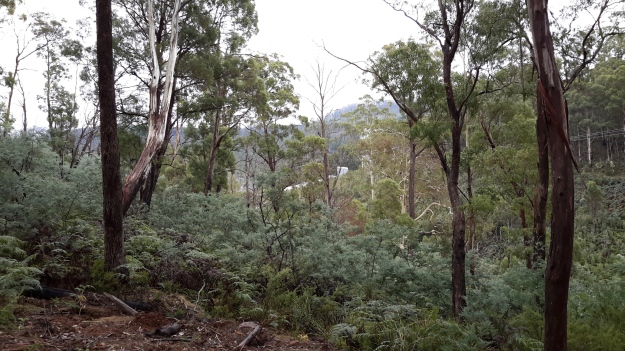
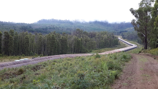
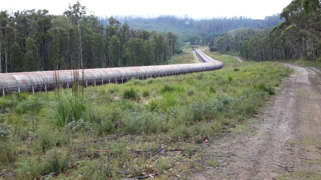
I took a series of forest photos most of which are blurred. I am adding some here to give you an idea of what parts looked like – sorry about the quality.
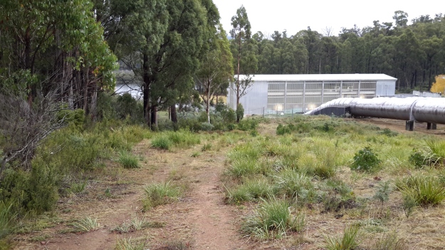
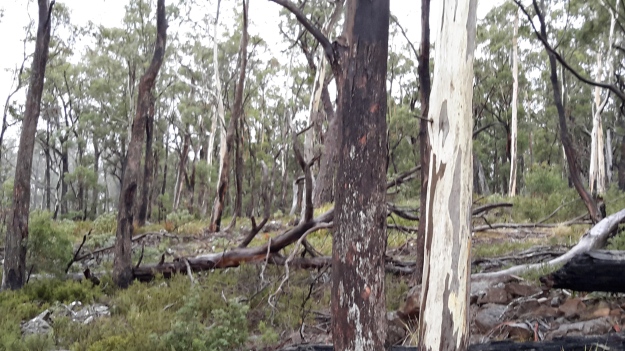 Then the white shape of the Wayatinah Power Station appeared between the tree trunks.
The closer I came to the Wayatinah Power Station the steeper the hills seemed. For vehicles travelling down the road, the final gradient requires a low gear in a 4WD. The drizzle on a day like the one on which I went, meant the clay and soil track surface was exceptionally slippery and dangerous for the inexperienced or inept.
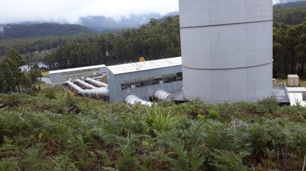
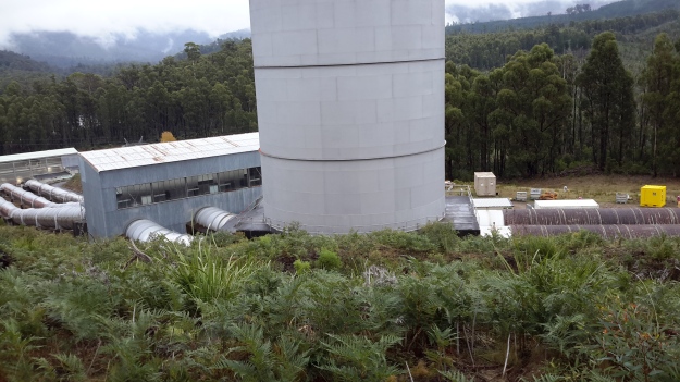
Then I was out in the open again. This time looking down to Lake Catagunya past the Wayatinah Power Station.
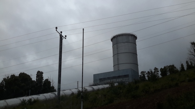
To my right, additional infrastructure punctured the sky.
Further up the hill and connecting to the huge surge tank, the snaking length of wooden penstocks started. See my earlier post for more information about wooden penstocks here. Can you remember the wonderful photos which Andrew took in this blog posting? My photos are less detailed but still show the dramatic line of the penstocks.
I ended the day with a thick coating of mud on my boots and a smile on my face. Yet another day offering me a memorable experience along the Derwent River. I am especially grateful for the extensive information and access provided by GL. Please note that private and corporate owners control access to this section of the Derwent River and the many gates are locked with an assortment of sophisticated processes. General public access is not available.
