Tag Archives: Catagunya

From Catagunya to Wayatinah – post 4 of 4

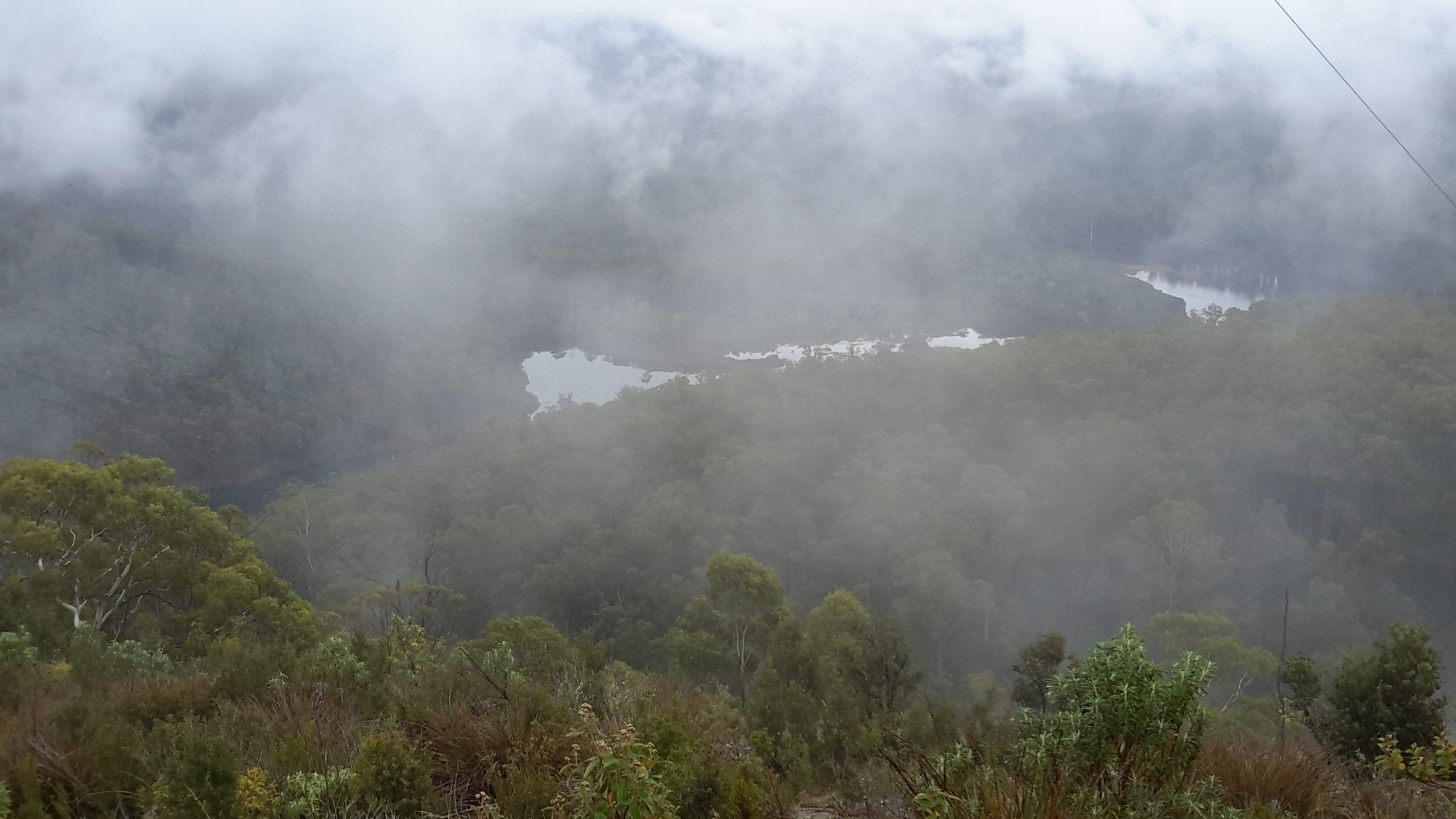
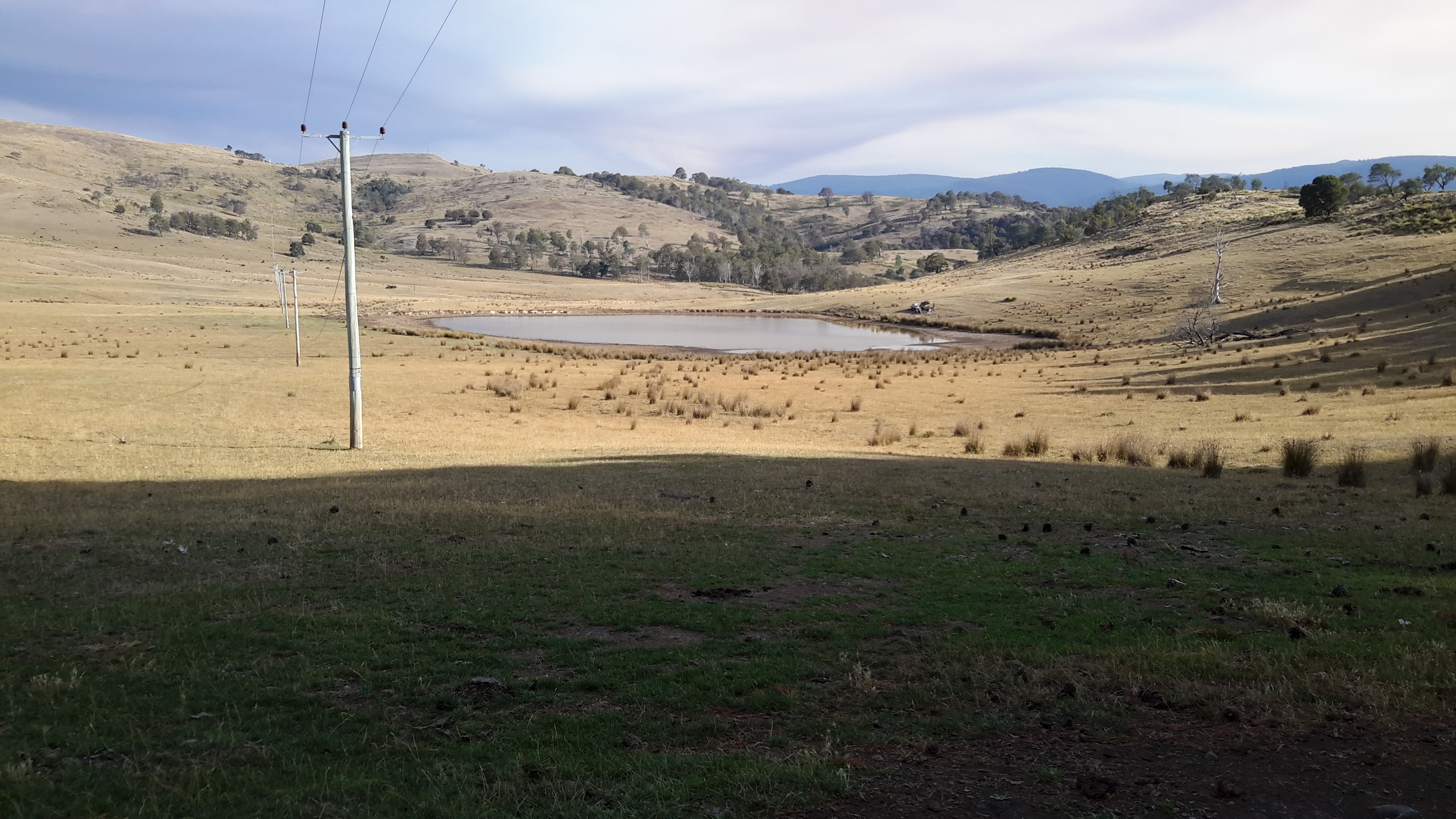
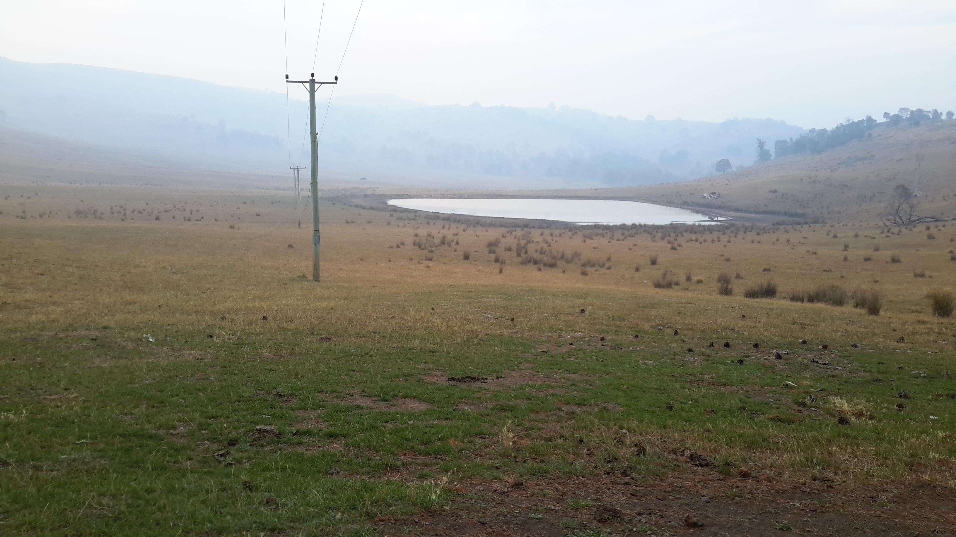
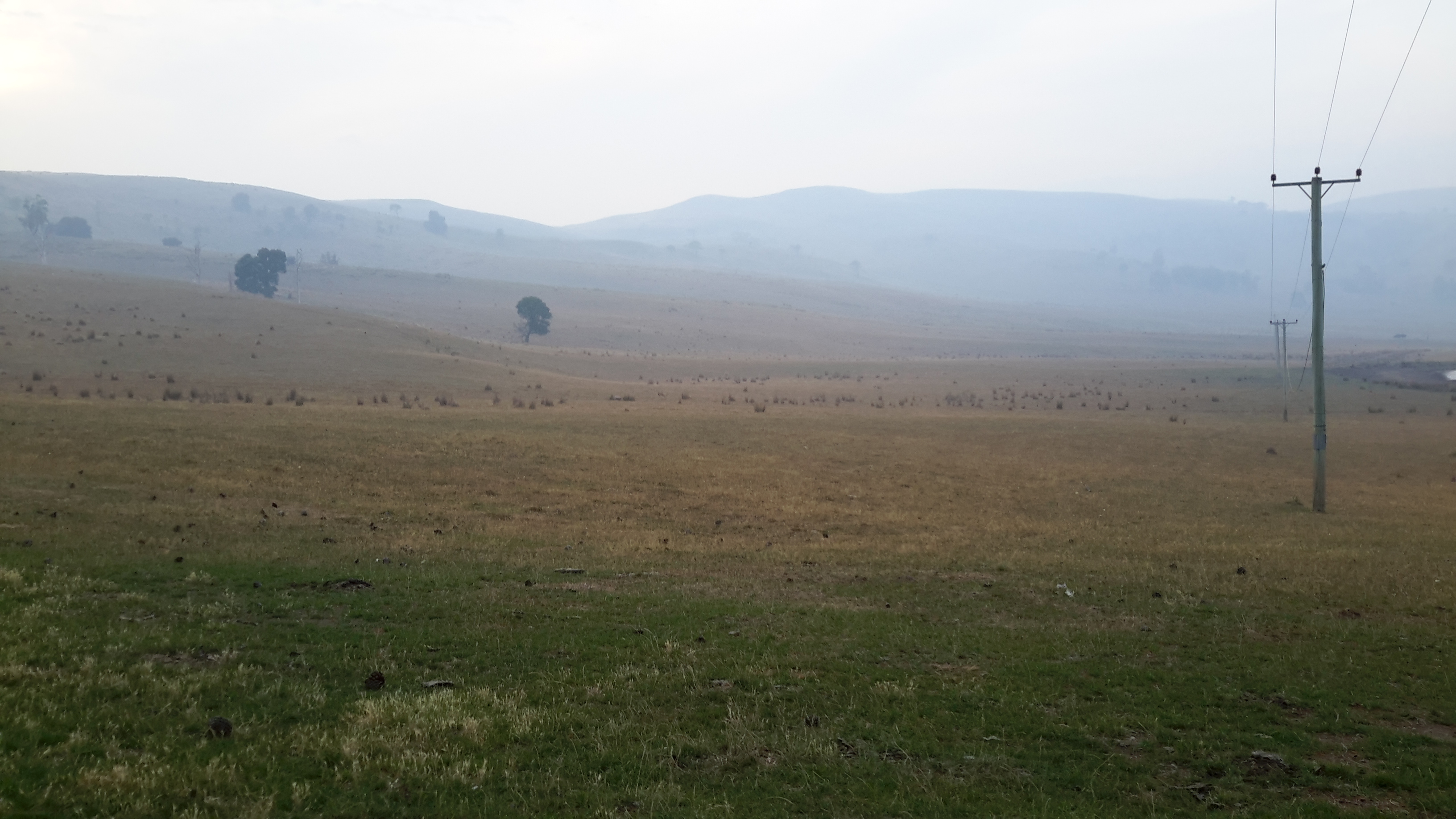
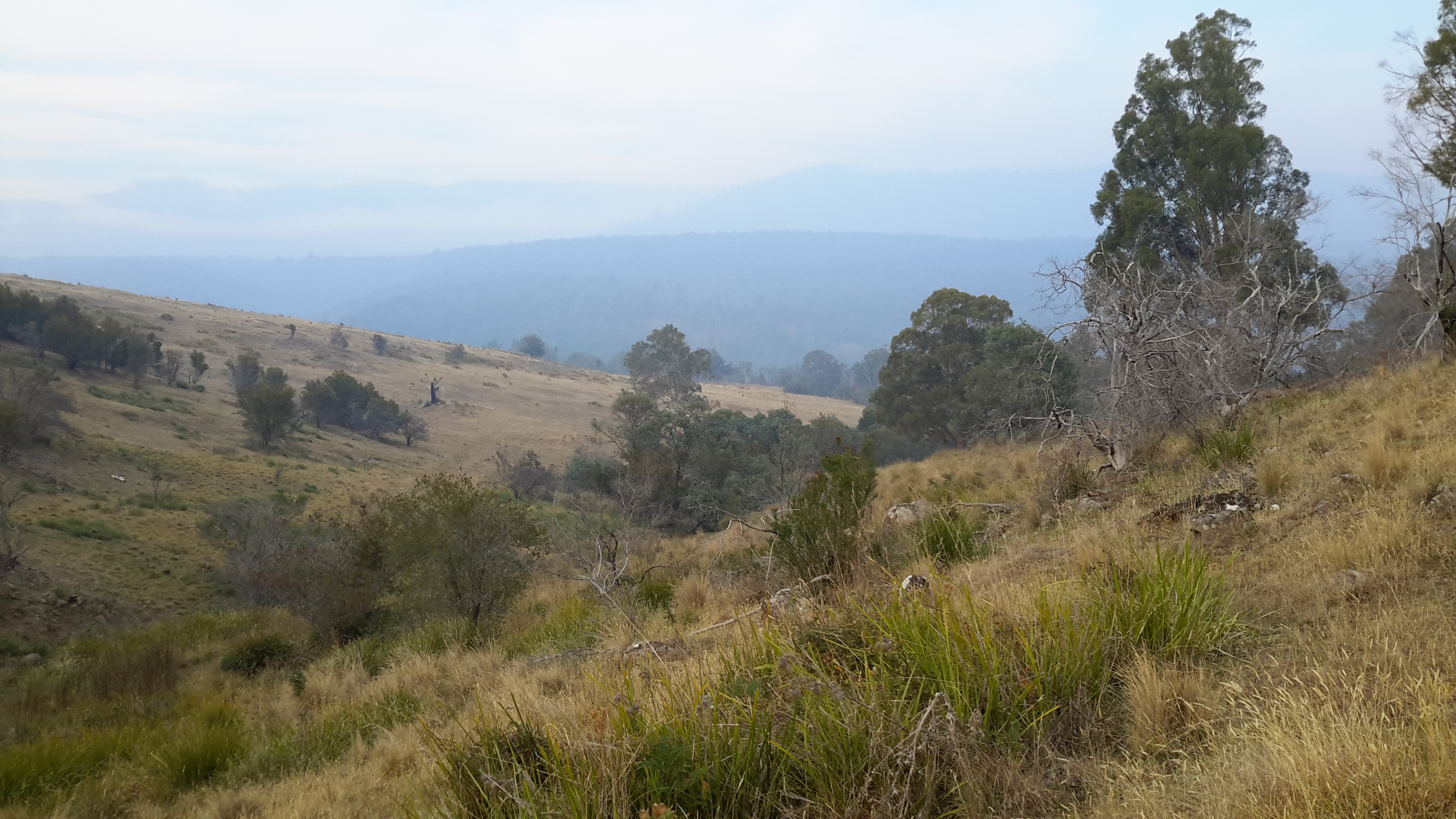
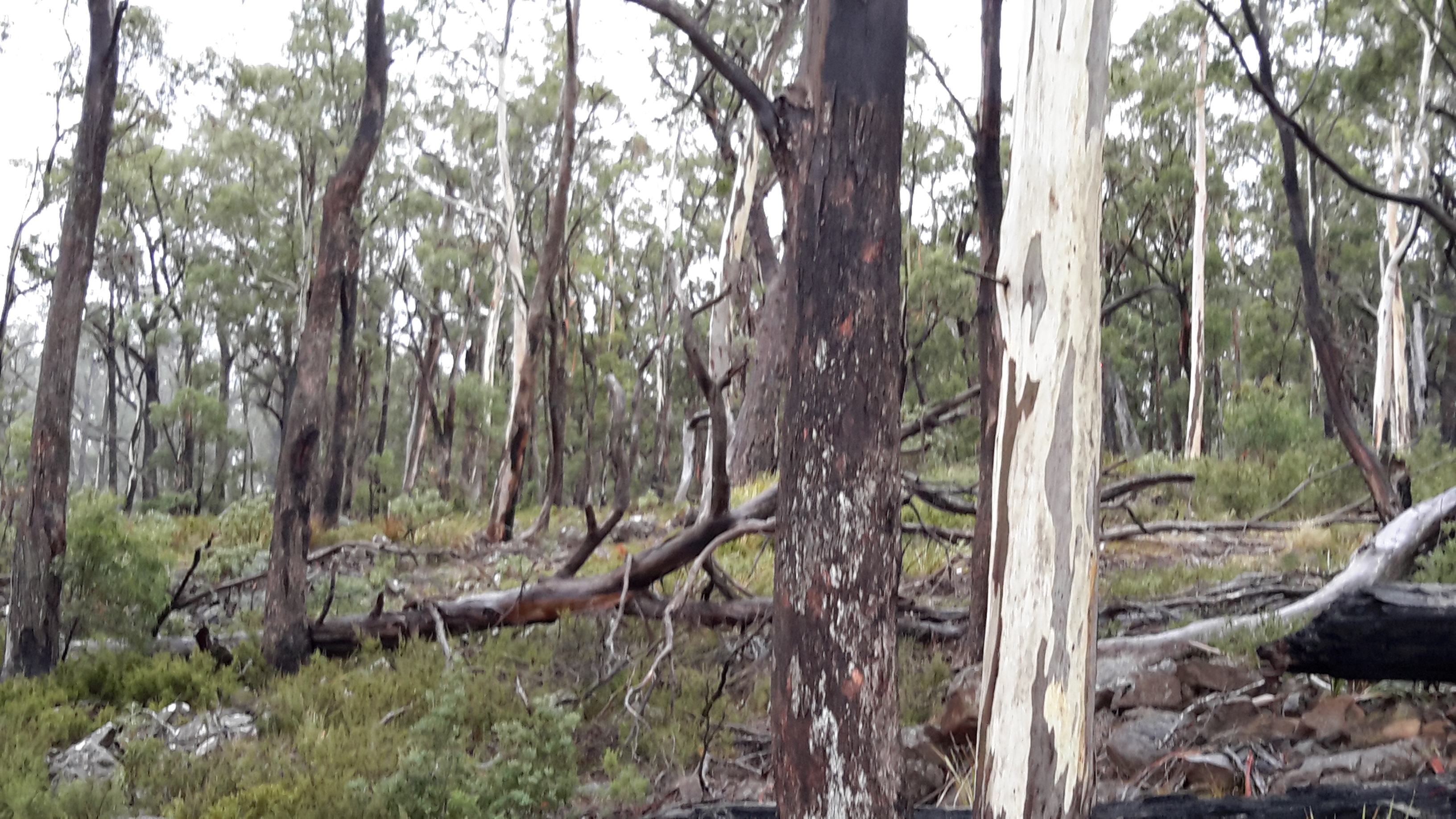
I took a series of forest photos most of which are blurred. I am adding some here to give you an idea of what parts looked like – sorry about the quality.

20170424_113247.jpg

20170424_111909.jpg
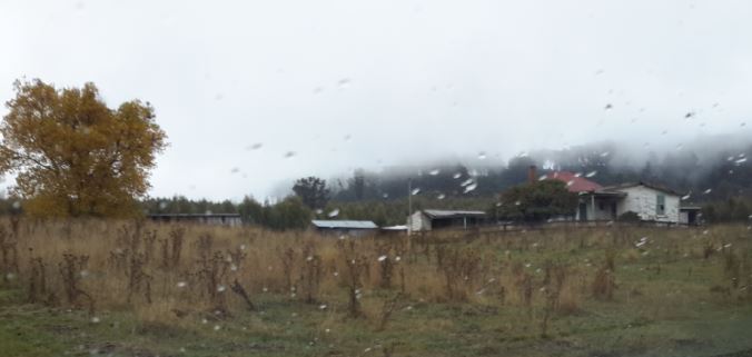
Then the white shape of the Wayatinah Power Station appeared between the tree trunks.

20170424_114138.jpg

20170424_113538.jpg

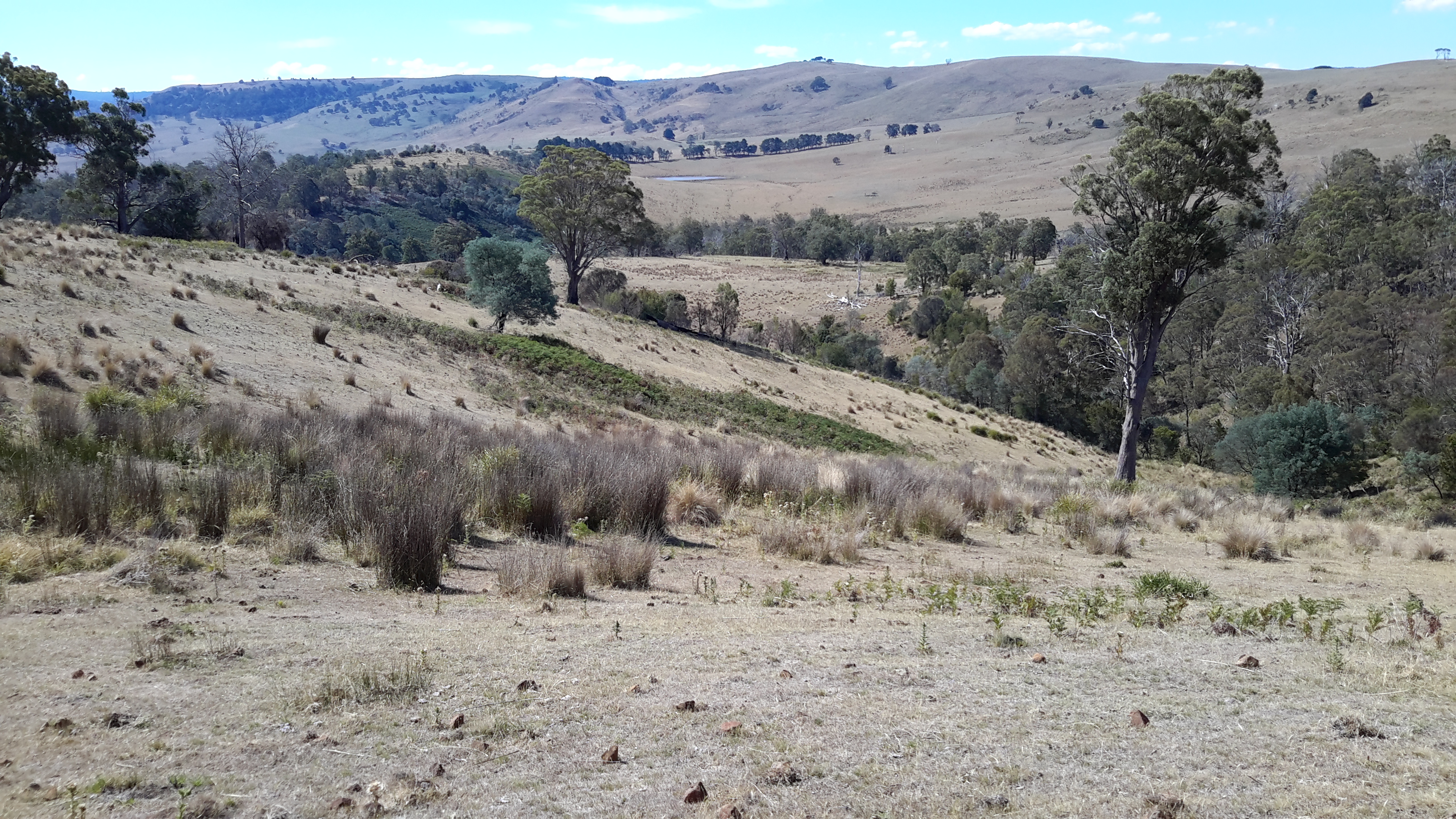
The closer I came to the Wayatinah Power Station the steeper the hills seemed. For vehicles travelling down the road, the final gradient requires a low gear in a 4WD. The drizzle on a day like the one on which I went, meant the clay and soil track surface was exceptionally slippery and dangerous for the inexperienced or inept.

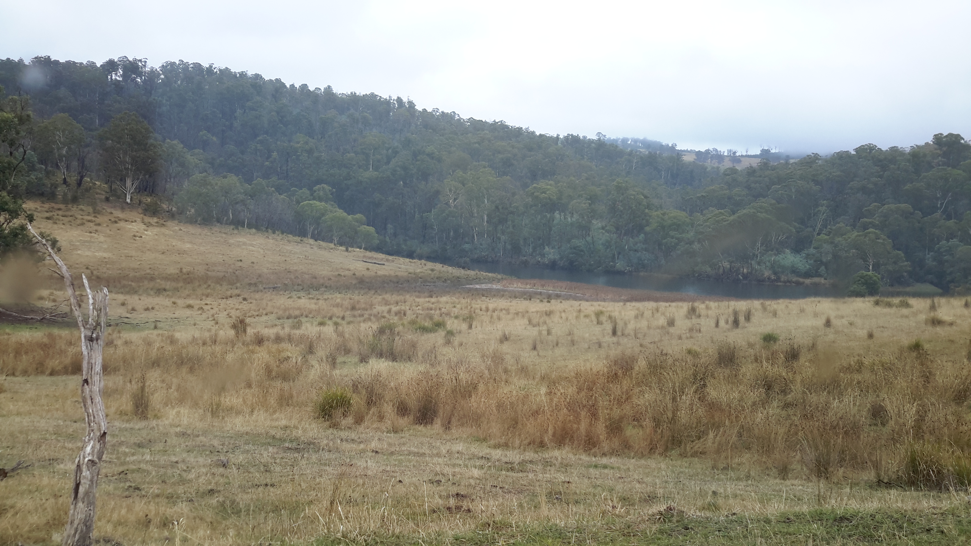
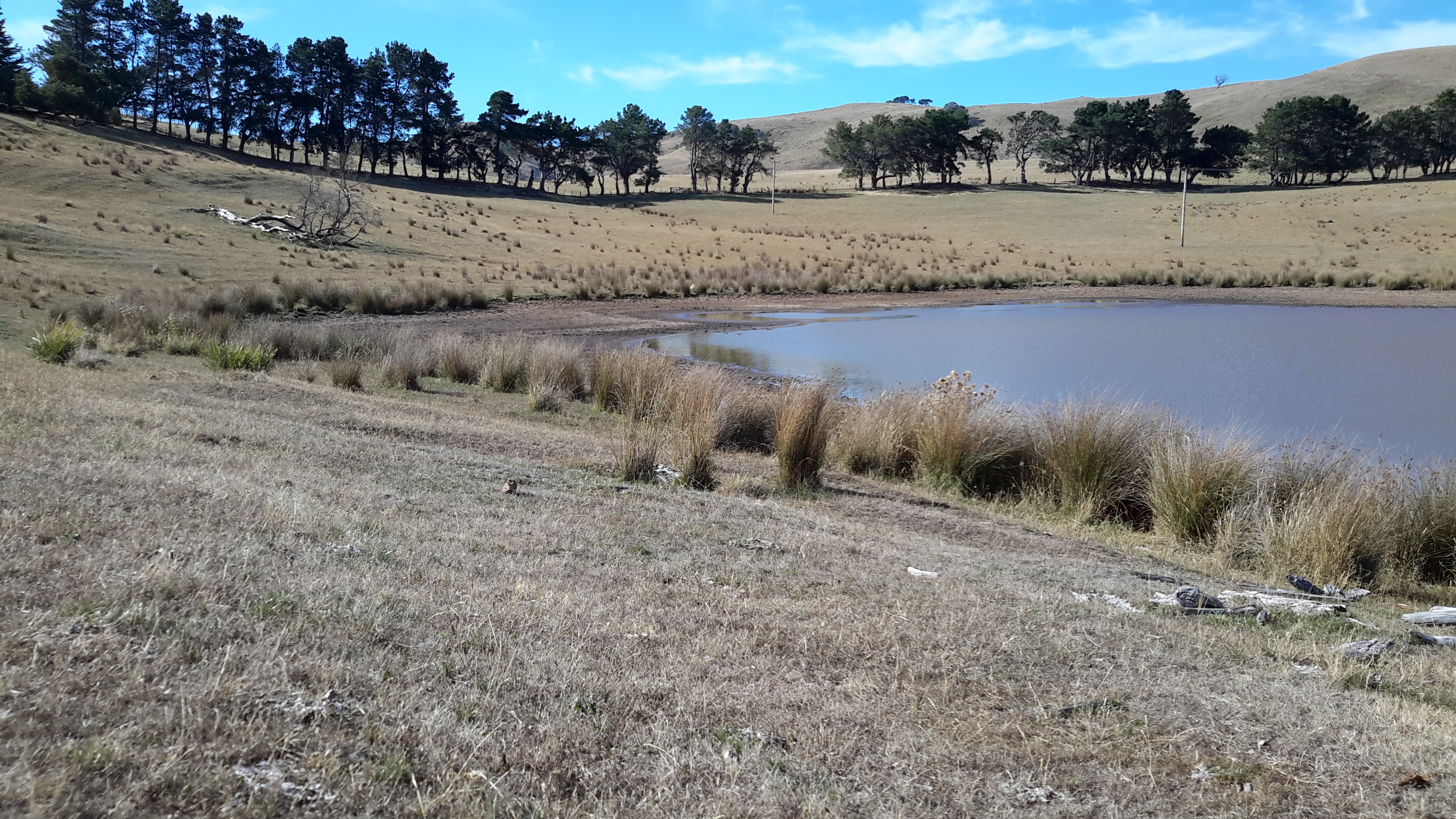
Then I was out in the open again. This time looking down to Lake Catagunya past the Wayatinah Power Station.

20170424_114211.jpg

To my right, additional infrastructure punctured the sky.

20170424_114227.jpg

20170424_114340.jpg

Further up the hill and connecting to the huge surge tank, the snaking length of wooden penstocks started.  See my earlier post for more information about wooden penstocks here. Can you remember the wonderful photos which Andrew took in this blog posting?  My photos are less detailed but still show the dramatic line of the penstocks.

20170424_114338.jpg

20170424_114345.jpg

20170424_114515.jpg

I ended the day with a thick coating of mud on my boots and a smile on my face. Yet another day offering me a memorable experience along the Derwent River. I am especially grateful for the extensive information and access provided by GL. Please note that private and corporate owners control access to this section of the Derwent River and the many gates are locked with an assortment of sophisticated processes. General public access is not available.

From Catagunya to Wayatinah – post 3 of 4


I followed a road aiming to intersect with the transmission lines ready to follow that towards Wayatinah to the extent it would be possible.  Massive heavily forested gullies made continued close access to Lake Catagunya (full of Derwent River water) impossible.

20170424_110654.jpg

Even the cleared area wasn’t clear enough for anyone to walk through on foot, although it was sufficiently clear to keep the power lines unaffected.

20170424_110907.jpg

When I stood on high, misty wisps reshaped distant hills and threatened to obliterate views of Lake Catagunya. Fortunately I could always see its glistening surface way below.

20170424_111136.jpg

20170424_111350.jpg

On top of the second last hill before reaching Wayatinah Power Station, the western end of Lake Catagunya appeared through the clouds.

20170424_111533.jpg

Before long the metal pipeline streaming water into the Wayatinah Power Station became visible.

pipelinewpscropped.JPG

Often the bush was amazingly quiet. This film  seems to be without sound. Only near the end can the faint crarking of a crow be heard.  This bush silence was an unexpected beauty of my day from Catagunya to Wayatinah.

From Catagunya to Wayatinah – post 2 of 4

Since Andrew had walked this way, much rain had fallen so that any chance of crossing Black Bob’s Rivulet somewhere near where he walked was zero.

20170424_105020.jpg

I continued back to the old Cooma property through more locked gates.

cropped Cooma.JPG

The owners were in the distance checking on some of their animals. Incredibly healthy cattle wandered around the unfenced land. Big curious fellows.  Superb condition. Beautiful black coats. Brown coats. Mixed colours.  As usual I talked to the animals.

20170424_102825 cropped.jpg

20170424_102856.jpg

cropped cows.JPG

Elsewhere, I watched a large family of yellow tailed Black Cockatoos raucously calling from tree to tree.  On another occasion a rush of coloured parrots whipped through the bush with astounding speed.

A large number of gravel roads and tracks meander over the hills between Catagunya and Wayatinah. Many do not appear on maps. Without a compass a walker could spend hours taking useless tracks – apparently people have been known to become so disoriented they find themselves way north of the river and after many kilometres back on the Lyell Highway.  In part, the tracks were created to service plantation forests  grown after original native forests were cleared and burnt.  The other user is TasNetworks, the State company which travels around to access the electrical power transmission towers and to check the levels of vegetation  along the transmission lines.

Since massive bush fires many years ago in one part of the area between Catagunya and Wayatinah, the remnants of hundreds of hectares of pine plantations have created a problem for the forestry industry. The small remaining stands of living trees are awkward to reach and not profitable to harvest.  Much of the land is covered by burnt parts of trees none of which can be used.  The cost to clear seems too high. Lost money. Lost opportunity. And lost original native forests. Nature always attempts to reclaim its place however in practice this means that those plants which breed well and grow quickly can create monocultures no less damaging than the single species plantation forests . In parts along the burnt out section, native plants that act like weeds such as some wattles are already taking over.  Monocultures do not a forest make.

Lake Repulse Dam to Catagunya Dam – posting 12 of 13

From a distance, the grey concrete structures of Catagunya Dam made me think of Russia’s Stalinist architecture with its solid and functional masses.  Up close I found nothing pretty about the Catagunya Power Station; just a very large box at the end of a wide driveway.

20160210_092533.jpg

There was little to see looking down along its side.

20160210_093033.jpg

20160210_093031.jpg

20160210_093101

So I was delighted when two cars drove down the road towards the Station. The front door was opened and I was invited inside.

Lake Repulse Dam to Catagunya Dam – posting 9 of 13

The signs of a past bushfire were clear on one long hill.  Possibly a year ago.  A little green regrowth in evidence.

20160209_141950.jpg

20160209_145502

Nevertheless seeing the blackened trees was a timely alert and made me wonder how I would cope if a bush fire came my way.  I have been informed the safest place is to find/create a hollow in the ground at the bottom of a hill, dig in and cover yourself as well as you can (remembering that most bushwalking gear and clothes is synthetic and will melt), hope the fire will flash over you quickly and that no trees or burning branches will fall on you, wait until the rush has passed, and then hope you can see somewhere to go.  I don’t ever want to put that to the test.

On the evening of this walk, I dropped off to sleep around 7.30pm (early to bed early to rise!) in my trusty little synthetic tent on the only flat place I could find during almost the entire walk.

20160209_182356.jpg

A little after 9 pm I woke to the smell of smoke.  Hmmmm.  I clambered out of the tent to have a look; 360 degrees of hills were softened with smoke haze.  No wind.  I couldn’t guess the direction from where the fire smoke might be coming.  When I considered collapsing my tent, repacking my backpack and continuing onto the Catagunya complex, I realised it was possible the fire was flaring between me and that destination. I listened for the sound of helicopters doing water drops.  Heard nothing.

A couple of hundred metres below me was the dam with its thick brown water (photo below taken when setting up before the smoke haze arrived) which I felt was the safest place I would find close by. Thought I was safest staying put.

20160209_182342.jpg

So I climbed back into my hot sleeping bag (the evening temperature didn’t cool as forecast), and went to sleep.

In the morning, I took the following photos. They show the smoky cattle-crossed hills surrounding me – and indicate the smoky air I was breathing.

20160210_072356.jpg

20160210_072359.jpg

20160210_072402.jpg

I packed up and walked passed another smaller dam, before travelling around, down and up hills once more. The smoky haze persisted. Didn’t seem worse.  I continued.

20160210_074429.jpg

20160210_074902.jpg

When I saw Catagunya Dam in the distance with the haze behind, I knew the seat of the fire was elsewhere.

20160210_081245.jpg

Later, I learnt the fire was over 70kms away in the south west of Tasmania.  Strong winds were responsible for creating the haze and even Hobart way east was blanketed similarly by smoke from the same fire.

Lake Repulse Dam to Catagunya Dam – posting 8 of 13


When I reached the top of one of many hills, the heat of the day was intense and weariness forced me to stop.  I ate a little lunch. Sipped a little water. Thought about its reducing quantity. Lay down in the shade. And fell asleep.

Increasingly, I was acknowledging my water situation could become serious.

At the start of my walks I carry two one-litre bladders (Think 2kgs of weight).  By the early afternoon I estimated this quantity might not be sufficient: I realised that the hot weather, the energy required to navigate my way around contours and up and down hills, the need to have water to cook with, clean the teeth, and continue on, were likely to deplete my supplies. If I didn’t find water to replenish my resources I could be in trouble.

As it turned out, the first creek with the brown running water was the only source of water that I might have drunk, if pushed.  Later creeks trickled sluggishly and pools sat with green slime and algae.  Obviously no rain had flushed these creeks in ages.

By late afternoon I decided to head inland to a man-made dam of water clearly marked on the map; I was walking away from the River but I needed water and this seemed the only sensible solution.  I walked up and down more serious hills until the dam was in view (can you spot the dam in the first photo?).

20160209_160529.jpg

20160209_172246.jpg

After walking for around seven hours, this nameless dam was a huge disappointment.  The water edges were pudgy with cattle trampings so that the mud oozed up around my walking boots and threatened to suck them off my feet. And the low level of water left in the dam was a thick brown mix. Unreachable and undrinkable.

That night, I didn’t cook because water would have been required. Instead I finished eating my lunch for dinner.  Again at breakfast I ate food which did not require rehydration. At no time did I brush my teeth, although I would have loved to. Keeping water to sip was more important than niceties.

Next morning I walked for two hours to reach the Catagunya complex.  No creeks ran with clean water on the way.  Cliffs and rocky edges made the water of Lake Repulse inaccessible.  I thought that the bridge over the Derwent River at Catagunya might allow me to drop down and brush my teeth, but again – no access. Impossible.

20160210_090929.jpg

Thankfully when I arrived at the Catagunya Power Station, a couple of work cars pulled up.  Inside I was able to refill my water containers and brush my teeth.  Thanks Hydro Tasmania.

I have written before about the challenges of walking and worrying about water. The irony is that the Derwent River is a mighty liquid machine, the water of which can be seen – but mostly it cannot be touched. If a person wasn’t able to keep walking, and didn’t have a Personal Locator Beacon, it would be easy to die of thirst in this remote part of Tasmania in the summer.

Dams on the Derwent River

The potential of the volume of water passing down the Derwent River for hydro-electricity generation was seen over a century ago.  While a few power stations were built in the early decades of the 20th century, with an influx of migrants from war ravaged Europe in the 1940s-50s, the numbers of dams and power stations increased quickly.  Overall, many dams and approximately 30 power stations have been built across central Tasmania.

On my way to Lake St Clair, I will reach and walk past each of the following 7 markers along the River:

  • Meadowbank
  • Cluny
  • Repulse
  • Catagunya
  • Wayatinah
  • Tarraleah
  • Butlers Gorge

One of the Hydro websites provides detailed information about these and others which feed into the Derwent River catchment.  In addition, the site includes the diagram below.

Derwent dams