After 20 minutes walking from the bus, I stood at a high mesh perimeter fence with a large open gate and massive signs telling me that the land beyond was the property of the Defence Services and ‘Trespassers will be prosecuted’. Cape Direction was so close, and now my access even to the beach from this location was thwarted. Using a number on one of the signs, I phoned the caretaker of Fort Direction (the cluster of buildings between me and Cape Deliverance and Cape Direction) and asked if the signs really meant what they said. Yes they did. This is a serious defence location and casual visitors are not permitted. When the caretaker informed me I could take my car and access the beach from Blessington Road, I let him know I was a walker. He was surprised. So many people don’t walk these days and are surprised when they come across someone who does. Not missing a beat, he offered to drive to the gate, collect and take me through (the militarised zone – my expression) and drop me at the Lone Pine Memorial on Cape Deliverance. From there I could walk in select places and then return to South Arm via the beach.
I do love the world. Something so good always comes out of something so problematic (and if this isn’t always true, I choose to forget any exceptions). The caretaker was friendly, amiable and chatted generously. I am so grateful for his help.
Apparently while the wooden buildings of Fort Direction don’t get a great deal of use except by cadets, they have historic value and have been maintained as the result of very strong local community advocacy. But close by, under lock and key are stores of live ammunition. I wouldn’t have been interested in any, but I guess others might if casual wandering around had been permitted. Originally the ammunition was stored in the nearby tunnels beneath the old gun placements on Fort Hill (which was out of bounds) – a very secure place and if an explosion had occurred any damage would have been localised.
Yesterday, I trawled the internet to try and understand what Fort Direction was all about. If you are interested a simple google will bring up a great deal of information and photographs.
The caretaker drove me out onto the flat exposed and open expanse that is modern day Cape Deliverance. It is above sea level but is not high enough to have the handsome cliffs that I could see across the Derwent when looking at the near Pierson’s Point and surrounds in the Tinderbox area. The first thing I noticed were two tall white flag poles, without flags, standing at the end of a large area. A part of me considered that if two more poles were added, a game of one ended AFL footy could be played here. The ground was extensive and very flat.
The poles framed a remembrance structure with the words Lest We Forget. In an arc at some distance were seven pillars. On each was the name of the seven Australian servicemen who were awarded the Victoria Cross as a result of their actions at the Battle of Lone Pine near Gallipoli. This was the significant battle fought between Australian and Ottoman Empire forces during the First World War between 6 and 10 August 1915. I asked my driver how this memorial came to be here considering none of the 7 were Tasmanian, or ever visited Tasmania, leave alone were locals. The question surprised him, and left him worried. Not only did he not have an answer, I sensed he wondered whether the decision to install this memorial in an isolated place without direct connection to the people of South Arm, was appropriate.
He left me at the Lone Pine Memorial and I tried to see it clearly with the wind lancing my face. A melancholy spot. But strikingly beautiful. The caretaker had told me that the physical nature of the location and its views had something in common with the Dardenelles, and that most RSL guys thought it was particularly appropriate site for the memorial. Anzac Day brings 700 plus people to this windswept site for the dawn service. I can appreciate how the landscape would make the ceremony quite powerful.
The photo below looks seaward from the Lone Pine Memorial on Cape Deliverance towards the Iron Pot lighthouse.

The photo below looks across from the Lone Pine Memorial on Cape Deliverance towards Piersons Point and the Tinderbox area – the starting point for the Derwent River on the western shore.

The photo below shows the single pine planted as part of the Lone Pine Memorial. In a cage.

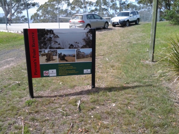
 How could I have got it so wrong! Thankfully, the error has been drawn to my attention and you can now revisit the blog posts knowing I reached Pierson’s and not Pearson’s Point. The two blog posts that contain the outstanding error are titled:


