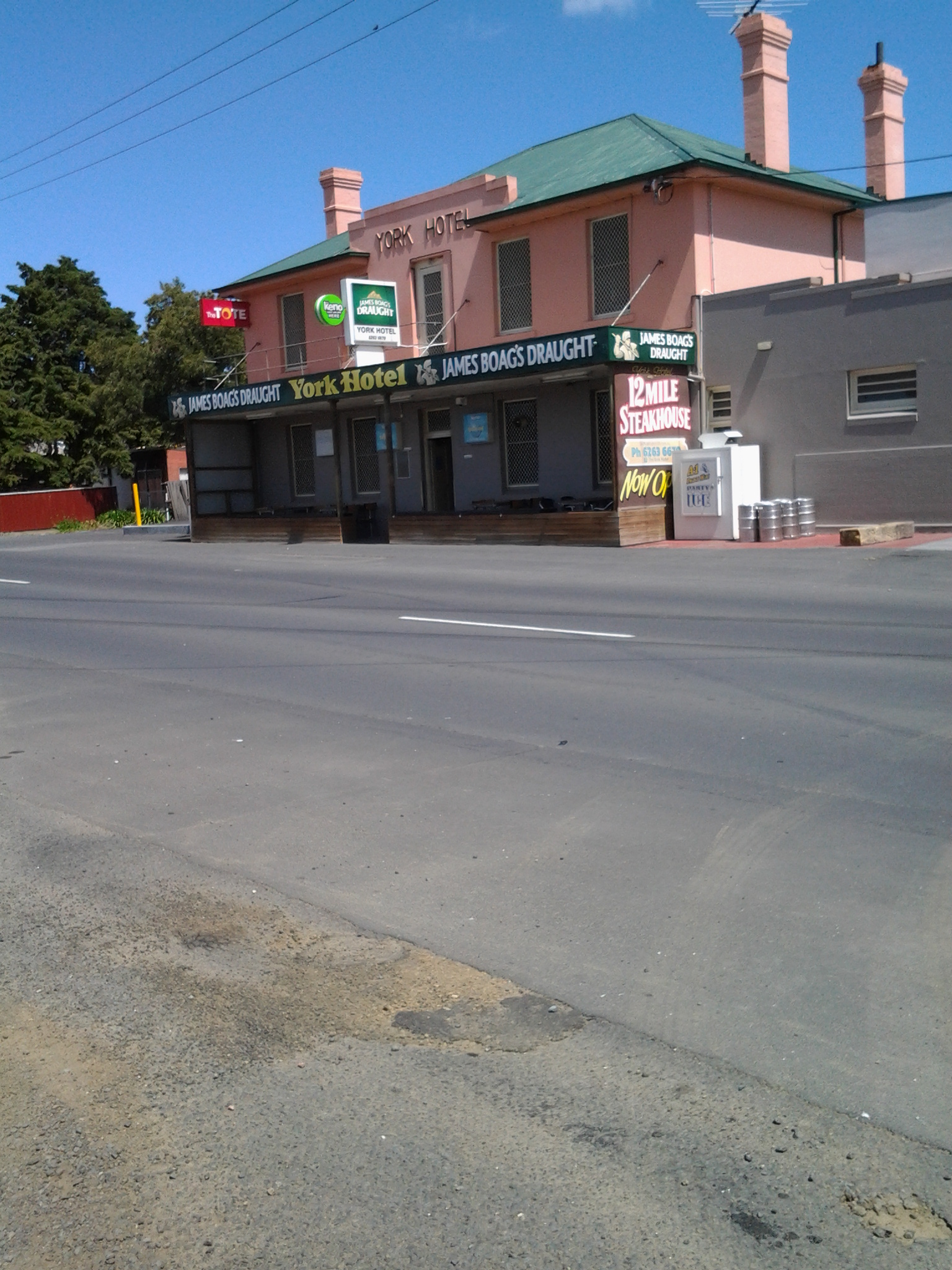
Tag Archives: Granton

The Lyell Highway between Bridgewater Bridge and New Norfolk

History

In the first couple of decades of the 19th century, when increasingly the small Van Diemens Land colony demanded more roads and better river crossings, the first road from Hobart Town to New Norfolk was built by McCarty under contract to the government. By 1840, the road to New Norfolk had extended to Ouse and Marlborough (Nive River) to serve remote settlers. During the next forty years the road was further extended for tourist purposes to Lake St Clair (Refer http://www.utas.edu.au/library/companion_to_tasmanian_history/R/Roads.htm).

Wikipedia offers the information that the highway did not reach Queenstown until the 1930s and was not properly surfaced for some time after that. In post cards of the 1940s and 1950s it is called the West Coast Road. When Tasmania’s hydro-electric system was expanding and their works were under construction at Tarraleah in the mid-1940s, the highway was re-aligned to follow the Derwent River until it passed Tarraleah to provide better access to the area for construction vehicles.

Lyell Highway on map

2008 details

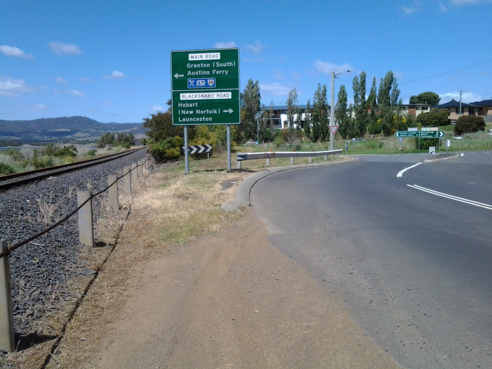
A 2008 government report (http://www.parliament.tas.gov.au/ctee/Joint/Reports/Lyell%20Hway.pdf), which recommended major changes be made to the road between Bridgewater Bridge and New Norfolk in order to create a safer highway, provided lots of information which added to my knowledge about this strip of road and its environment.  I will be looking to see if the recommendations were acted upon when I walk (the temperature plummeted today, and wintry weather yet again made the walking of Stage 14 impossible).
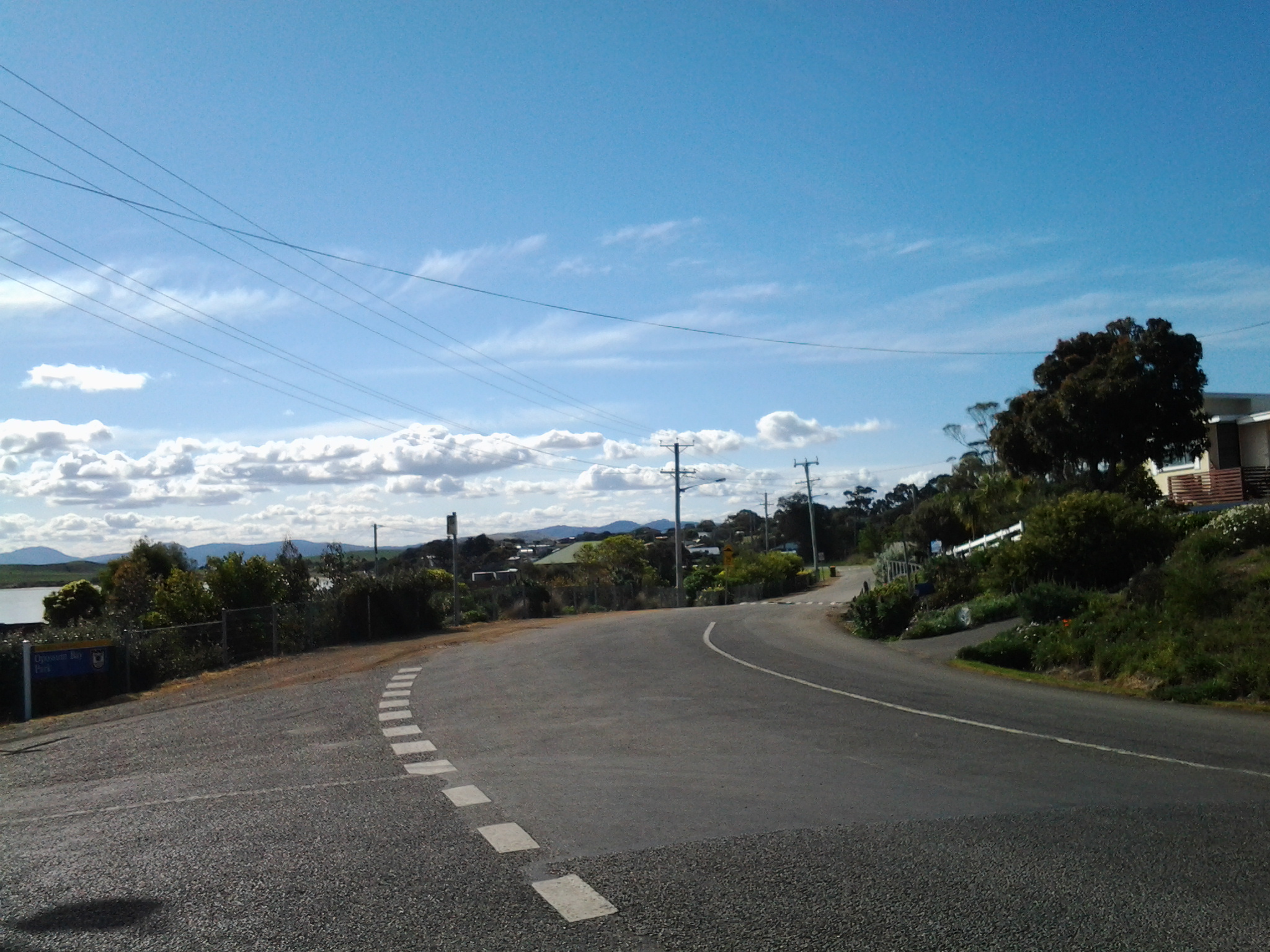
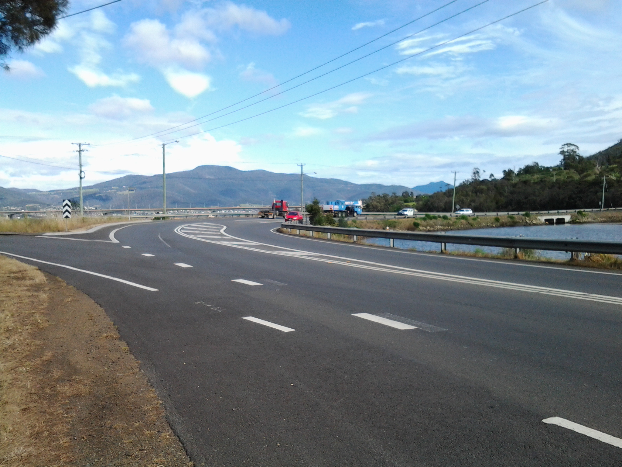
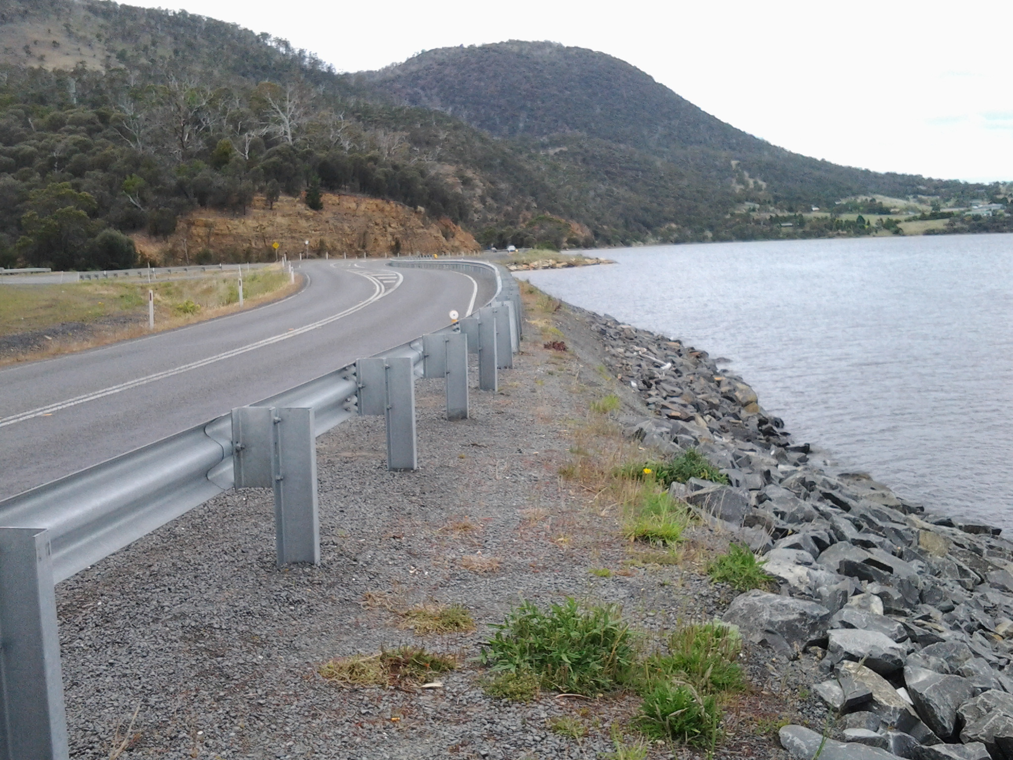
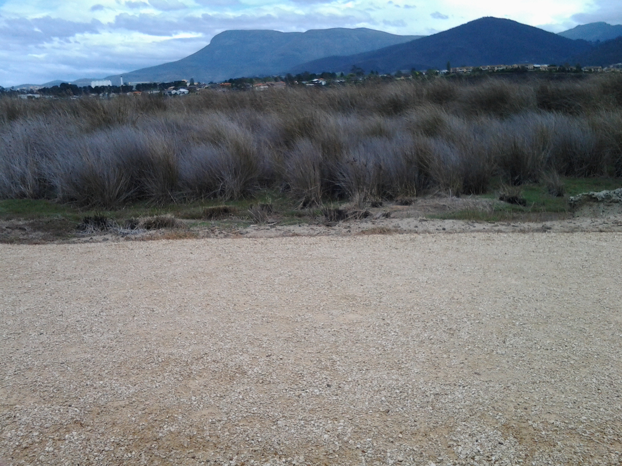
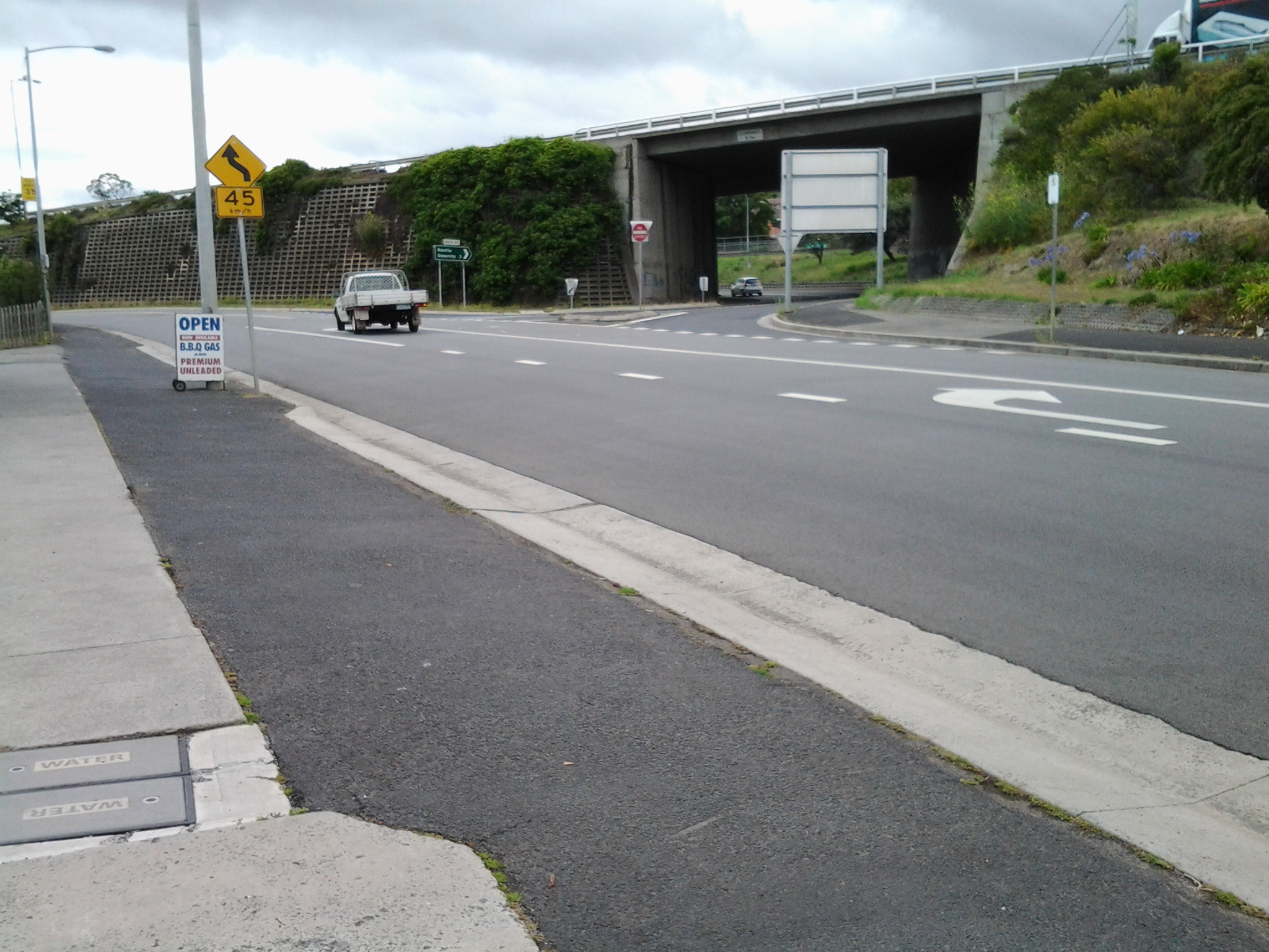
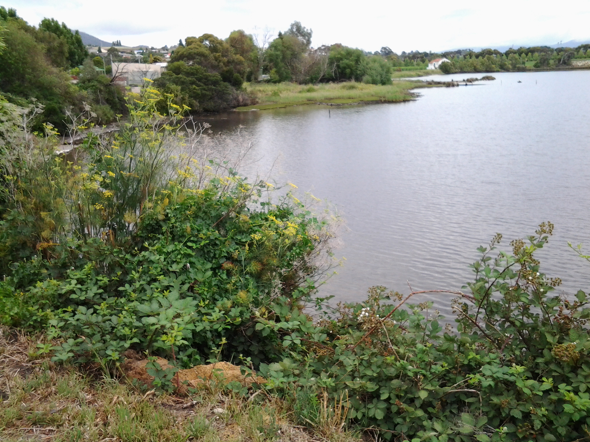
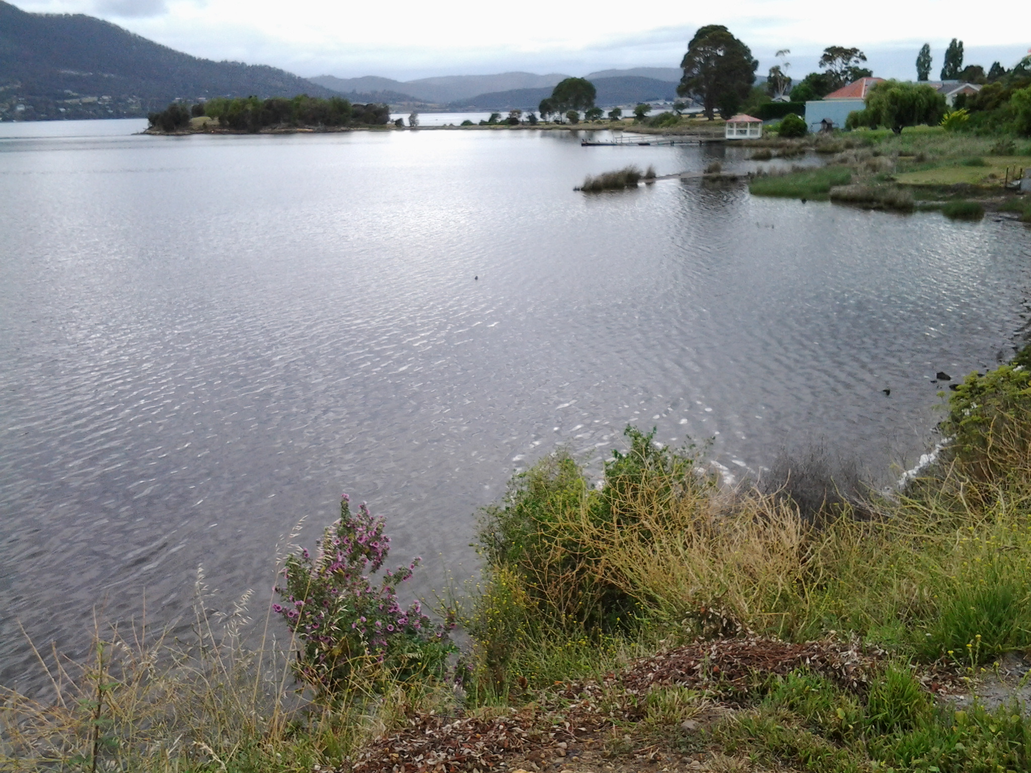
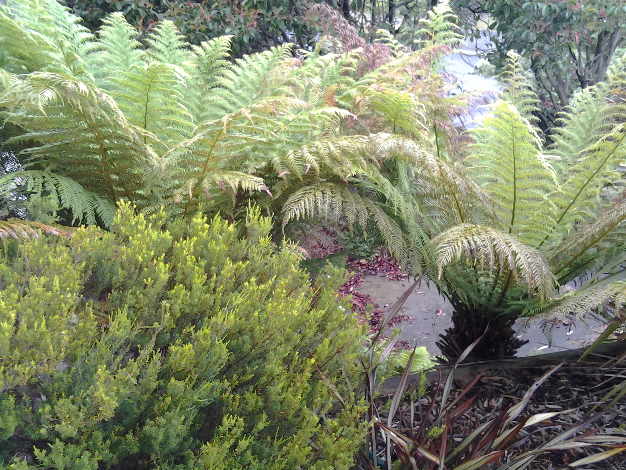
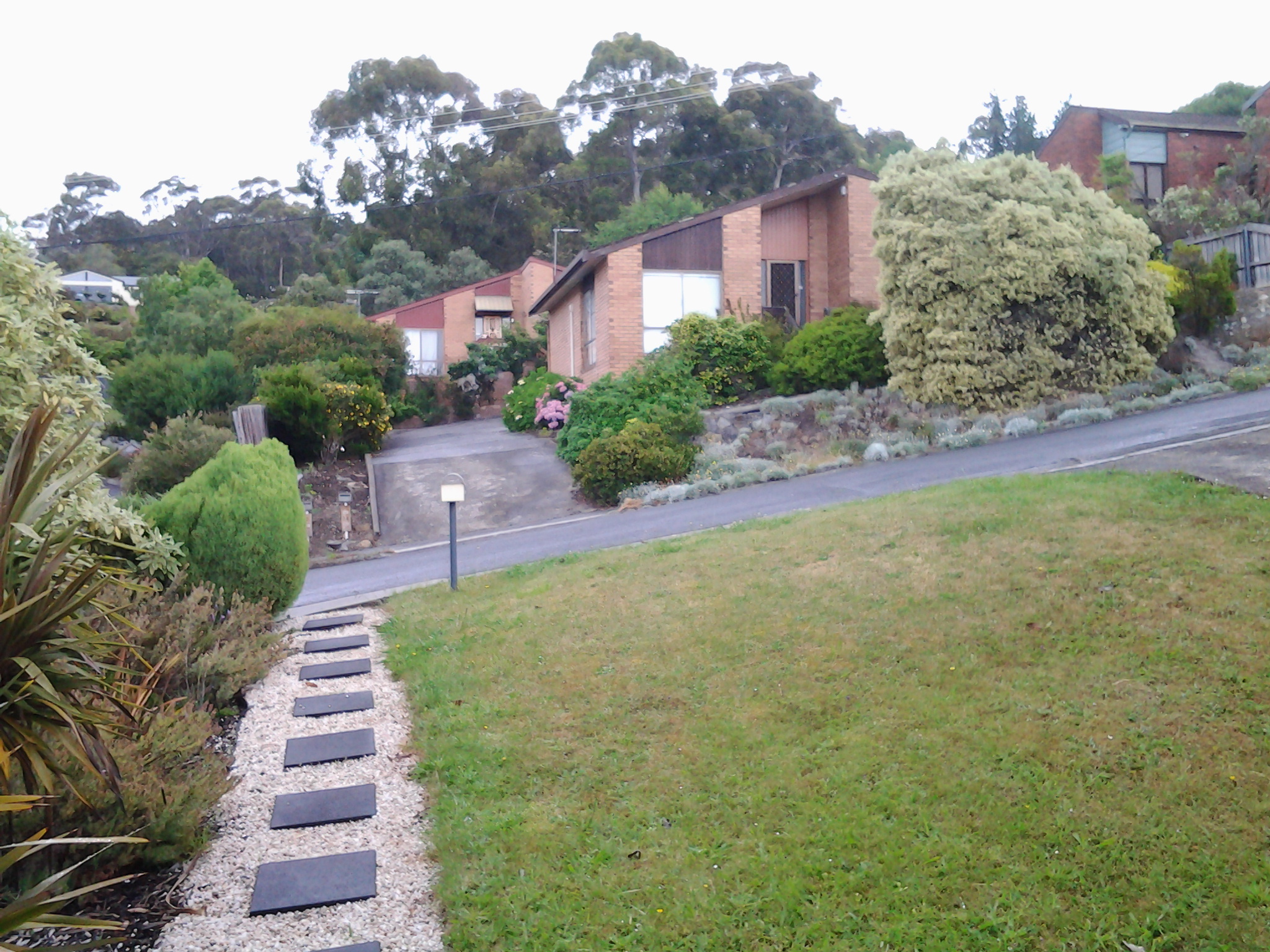
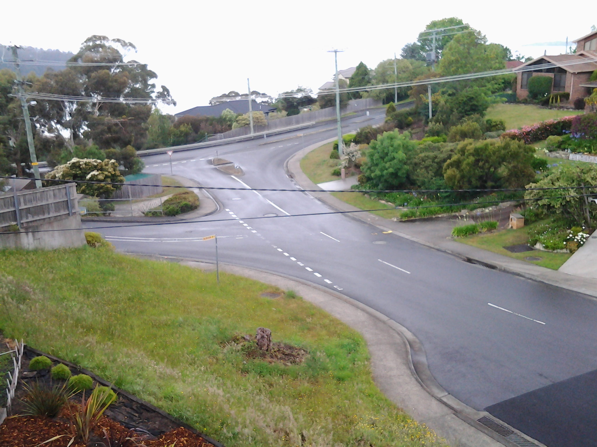
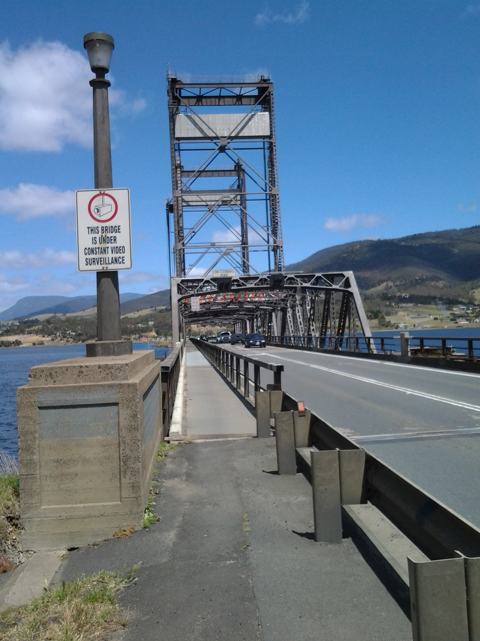
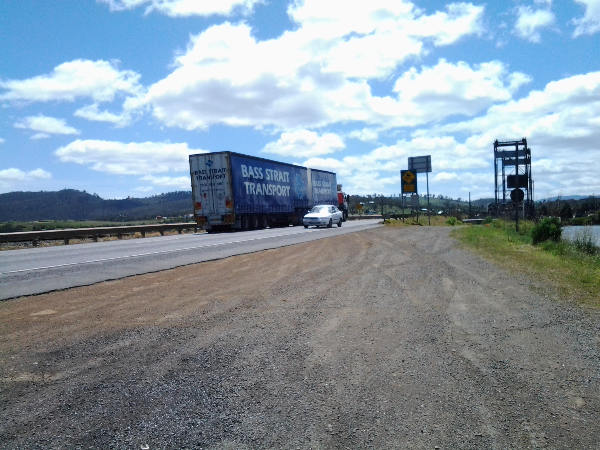
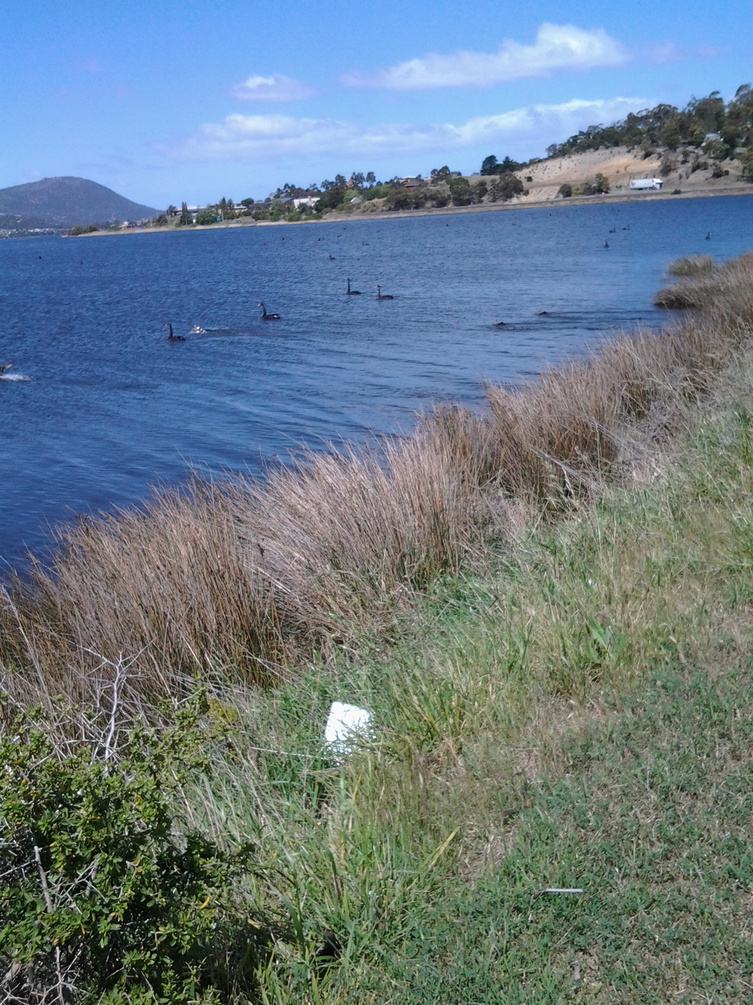
The report explained The Lyell Highway between Granton and New Norfolk is a two lane road with a sealed pavement width that varies in the range of 6.5m to 7.2m wide with unsealed shoulders. The highway follows the southern bank of the Derwent River. The highway is often located at the base of the hillside adjacent to the river flats and as a result has tight curves and sharp crests. The high, steep terrain on the southern side of the highway and deep soft silts on the northern side pose significant design challenges due to cost management and the environmental impact of the proposed works. The abutting land use is rural, dominated by rural residential with some horticulture (vineyards, tomatoes, cherries) and one private recreational facility, the Motor Yacht Club of Tasmania (MYCT). The Derwent River is a conservation area. On the southern side of the highway most of the land is hilly, mainly cleared with some trees along the roadside and a few scattered in the paddocks. There are some properties which remain untouched and vegetated by woodland. There are also rows of trees along the side of the road which form windbreaks and/or landscape features.’

Vegetation

According to the same report, the following three vegetation communities of conservation significance occur in the area:

  • Phragmites australis grassland (generally referred to as a common reed): considered vulnerable and inadequately reserved at the state level.
  • Acacia verticillata dry scrub (commonly known as Prickly Moses): of bioregional significance.
  • Leptospermum lanigerum scrub (sometimes named the Woolly Tea Tree): of bioregional significance.

The trees of Potential Cultural Significance along that stretch of the Lyell highway include

  • A stand of white gums between the roadside rest area and the Derwent River at Chain 7760 – 7860.
  • Two weeping willows on the northern side of the highway at Chain 8215 – 8220.
  • A row of old radiata pines on the southern side of the highway at Chain 10250 – 10350.

The following two significant flora species, listed on the Threatened Species Protection Act 1995, occur in the area:

  • Austrostipa scabra (rough spear grass): southern side of the highway Chain 3300 – 3400, 6430 and 6610 – 6640; northern side of the highway at Chain 6940 – 7010.
  • Vittadinia gracilis (woolly new holland daisy): southern side of the highway at Chain 3300 – 3400.

Social history

There are a number of additional features in the immediate area that are considered to have some cultural heritage significance. Project 3 Lime kiln, Chain 3250 – 3540, is located on the northern side of highway. This is currently listed on the Tasmanian Heritage Register (THR) (R701)(http://www.heritage.tas.gov.au/thr.html) and hence is subject to the provisions of the Historic Cultural Heritage Act 1995. There are a number of additional features in the immediate area that are considered to have some cultural heritage significance, such as the Marsh Farm and a redundant section of the old main road.

The Derwent River and its Highways

The south of Tasmania is crossed by trunk roads, regional freight roads and regional access roads, including six of the highways for walking on when walking from the mouth of the Derwent River to the source.

  1. The South Arm Highway which extends from Opossum Bay to where the suburb of Mornington reaches the Tasman Highway. I bussed and/or walked on the South Arm highway during Stages 1-3.

20140822_130241 20140904_133309

2.   On the eastern shore of the Derwent from Geilston Bay to Bridgewater Bridge it was the East Derwent Highway which felt the plod of my feet occasionally during stages 5 -8 of my walk.

20141031_093816 20141031_101844 20141031_122945 20141031_111951 20141031_121153 20141111_105455

3.    Once I reached Bridgewater on Stage 9, the highway crossing the Bridge was the Midland or Midlands Highway (sometimes referred to as the Heritage Highway).

20141111_131431 20141111_132913

4.     Some of Stage 12 of my walk on the western shore towards the mouth of the Derwent River, included a couple of kilometres on the Channel Highway.

20150202_095550

5.   At the start of Stage 14 I will walk on the last few metres of the Brooker Highway, the main highway which extends from the centre of Hobart city to the Bridgewater Bridge at Granton. For the first time, at the Bridgewater Bridge, this Highway edges the Derwent River.

6.    Immediately after the highway intersection with the Bridge, the Lyell Highway commences. From Granton until I reach the source, the Derwent River winds closest to the Lyell Highway, the highway which extends west to the town of Queenstown (which is overshadowed by the copper bearing Mount Lyell). This highway will be my life line in terms of accessing public buses.

Winemaking along the Derwent River

Very soon, when the weather is right, I will be off walking the next stage along the Derwent River.  On that day I will pass by vineyards (without stopping for a sample) on route to New Norfolk. Wine Tasmania (http://winetasmania.com.au) promotes touring routes to the dozens of vineyards established across the State.

Soon after passing the Bridgewater Bridge and close to the Derwent River at Granton, a couple of well-established vineyards with cellar doors can be accessed easily by the public.  More about the Derwent Estate Wines can be read at http://www.derwentestate.com.au/home/ .  I like the sound of the approach taken by their viticulturist– ‘We do not use any Insecticides or nasty Pesticides at all. We prefer a softer Integrated Pest Management approach to disease control.’

The Stephano Lubiana Wines estate (http://www.slw.com.au/slw/index.html) offers a food menu to complement their wines, which uses fresh produce from their bio dynamically run vegetable garden. At the end of March, a Festa di Pomodori will focus on the tomato. Sounds like the place to be for healthy food and a great drop of wine.  Any local blog followers interested to join me at this festival? The winery has organised a return bus from Hobart; great thinking I am thinking!

Historic Granton, Tasmania

The northern suburb of Granton on the western shore of the Derwent River adjacent to and extending from the Bridgewater Bridge has significant history in relation to transport and communications across Van Diemens Land/Tasmania. Two heritage buildings, which still stand, are introduced below.

The Black Snake Inn

On stage 8 of my walk along the Derwent River, after I had crossed the Bridgewater Bridge from the eastern shore, I continued south into the start of the suburb of Granton. On that route I soon passed the house in the photo below.

20141111_134404

Located at 650 Main Road, what I was seeing was the building that started life as the Black Snake Inn, apparently Australia’s earliest ferry inn, which was built by the convicts who constructed the Bridgewater Causeway. The Google maps street view of this remarkable building can be seen at https://www.google.com.au/maps/place/650+Main+Rd,+Granton+TAS+7030/@-42.751047,147.229129,3a,52.5y,209h,90t/data=!3m4!1e1!3m2!1sTcT1xn5QTiR_rSA4AsFFbg!2e0!4m7!1m4!3m3!1s0xaa6e12713b1bfcbb:0x1a0841b5479abad1!2s650+Main+Rd,+Granton+TAS+7030!3b1!3m1!1s0xaa6e12713b1bfcbb:0x1a0841b5479abad1!6m1!1e1?hl=en

According to http://www.werelate.org/wiki/Person:George_Robinson_%2838%29, Rhode Island born George Robinson erected a new Black Snake Inn on an earlier ferry Inn in 1833 and continued his business at the Black Snake until 1837.  Robinson showed his enterprising ability in a newspaper notice: “MR. G. W. Robinson has this day started a Van with two splendid horses for the immediate accommodation of persons travelling up and down from the Ferries. The Van will leave the Black Snake at half past nine every morning, and leave Hobart Town at 2 o’clock every afternoon…

Charles F Tomkins

Artist Charles F Tomkins (1798-1844) produced a hand coloured lithograph titled The Black Snake Inn and this was published in London by Smith & Elder in 1833 (Reference: http://catalogue.statelibrary.tas.gov.au/item/?id=98999)

According to the http://www.heritage.gov.au/cgi-bin/ahpi/record.pl?RNE10944 record (of March 2015), The Black Snake Inn ‘is significant for its association with Derwent River ferry and road crossings. Until 1836, when the Bridgewater Causeway was completed and before a bridge completed the crossing in 1849, ferry transport was the only means of crossing the Derwent River. It is significant for its initial function as a ferry inn accommodating passengers using the commercial ferry services run by the Inn’s operator. In addition, the Inn is significant for providing accommodation for travellers on the Main Road between Hobart Town and New Norfolk, and those using the Bridgewater Causeway. Between 1819 and 1825 the diary of Reverend “Bobby” Knopwood noted frequent visits to the Black Snake Inn which was often referred to as the “half way” house. Governor Arthur’s Land Commissioners visited the Black Snake Inn in 1826, remarking that its licensee, Presnell, was in the “true Style of a selfish Settler” giving all who passed “all the trouble in his power”. By 1833, the Inn was acquired by George Robinson. By August he had built a “new house’ at Black Snake and advertised the lease for the old inn premises as a possible store. His new Inn was drawn by Louisa Meredith, probably in the mid-1840s and the structure depicted is almost certainly the building known as the Black Snake Inn today, showing the same form. It is possible that a new facade was erected some decades later because the Victorian Rustic Gothic style became more common after the 1840s.’ This website provides extensive additional historical, architectural and social information.

The site http://www.watersideaccommodation.com/downloads/HistoricalSummarytheClaremontAustinsFerryArea04May07.pdf contains an alternative photograph of the building.

I am grateful to Tasmanian collector and historian George Burrows for his reminder to create a posting about the Black Snake Inn.  In addition, he told me… “I am probably one of the few people who have canoed the river from source to Hobart BEFORE the dams were built.”  How remarkable is that!  Very impressive.

The Old Granton Watchhouse

The building, located at the junction of the Brooker Highway, Lyell Highway and the Bridgewater Causeway, was built by convicts in 1838. Extensive information and photographs can be seen at http://ontheconvicttrail.blogspot.com.au/2014/10/old-watch-house-granton.html

The starting point for Stage 14 of my walk along the Derwent River will be near this Watchhouse.

Kunanyi

Mount Wellington was a prominent feature in the lives of the Moomairremener people for thousands of years before white settlement of Van Diemens Land, later to be renamed Tasmania.  The indigenous names include Kunanyi, Unghbanyahletta and Poorawetter. I understand that the Palawa (which seems to be a collective term for all Tasmanian aborigines – perhaps a blog reader might be able to supply further information?) who are the surviving descendants of the original indigenous Tasmanians, tend to prefer the former name – Kunanyi.

A couple of years ago, the Tasmanian government introduced a dual naming approach to a number of geographical features around Tasmania, and these included the mountain which towers over the Greater Hobart Area and the Derwent River. The then Premier Lara Giddings remarked ‘Dual naming is about recognising the Aboriginal community’s rightful status as the first inhabitants of this land and celebrating their living culture, traditions and language’.

20140926_123103

Photo taken from Bellerive Bluff on Stage 4 of my walk along the Derwent River.

20141010_103145

Photo taken between Rose Bay and Lindisfarne on Stage 5 of my walk.

20141031_132509

Photo taken from Old Beach on Stage 7 of my walk.

20141111_104035

Photo taken from Green Point on Stage 8 of my walk.

I am including a posting specifically about ‘the mountain’ as locals refer to it, because it has been a significant marker on my trek from the mouth to the mouth of the Derwent River via the Bridgewater Bridge, and I am about to lose sight of it.  From Granton, as I walk west along the River and then northwards, the mountain will no longer be in view.

Current official information about walking tracks, facilities, weather related precautions and other details associated with the mountain can be read at http://www.wellingtonpark.org.au/  Note that you can download maps from this site.

Getting started on Stage 10 along the Derwent River.

From the eastern shore I caught a bus to Hobart City and then transferred to a 7am bus destined for Bridgewater. At the Glenorchy Bus Mall we waited until it was time to continue … and until more passengers arrived.

20150109_072558

This bus travels along the main road via Berriedale, Claremont and Granton suburbs. At 7.32am I was off the bus outside the Grenada Tavern at Berriedale.

20150109_073246

Opposite the bus stop I glanced at the vineyards of Moorilla and thought of the Museum of New and Old Art (MONA) nearby.

20150109_073235

The view, down the road in the southerly direction I needed to follow, is blandly suburban.  At that hour, the road was very quiet.  I guess with school holidays and many adults taking a holiday away from work, there were lots of sleeping bodies in the vicinity.

20150109_073239

I crossed the road and headed south on the footpath looking to see how I could get past the houses edging Berriedale Bay and walk closer to the water.  Firstly I reached a parking area with a tall mesh fence partly blocking an area of profusely flowering weeds and Berriedale Bay water from me.

20150109_073650

I continued on the main road and turned left away from the highway overpass.

20150109_073954

When I reached a service station I spotted a gap to the water and deviated to see whether further access was possible. Looking north over a bramble of free sown blackberry bushes, I could see the vineyards of Moorilla, and the concrete and rusting building of MONA.

20150109_074116  20150109_074126

Looking south, Frying Pan Island could be seen joined to the land by a tiny isthmus.

20150109_074105

It was clear there would be no continual walking access directly along the River’s edge.  I returned to the main road and continued along until I reached the Strathaven Home for senior citizens and Riverfront Motel villas, arriving there about 20 minutes after I had stepped off the bus. I walked through these properties and continued along the foreshore until stalled by a high fence topped with barbed wire – this continued out into the water as a definite deterrent for further progress. Fat rabbits, and gangs of wild hens scattered across the mown grasses. Frying Plan Island can be accessed via the Strathaven Home  and Motel site. In the photo below, the tiny islet in the foreground and southern side of the Bay, almost blocks the rusting verticals which form part of MONA in the distance at the northern side of Berriedale Bay. It is rather difficult to separate these visually.

20150109_075100

So I retraced my steps back to the main road and joined the ‘bike path’ established for both cyclists and pedestrians by the joint efforts of the Cities of Hobart and Glenorchy. It was 8am.

I am on holiday watching over the Derwent River

Yesterday afternoon I left home, for a week, to live in a unit above Kingston Beach which overlooks the wide expanse of the Derwent  Harbour in Tasmania’s south east.

In future, I will walk along the edge of the Derwent River below as part of my stroll along the Derwent from the eastern shore mouth to the western shore mouth and then from Granton to the source.  Here I am located very close to the mouth on the western shore. I feel tempted to walk the last kilometres this week, and then go back to Berriedale and walk the remaining distance to Kingston. The weather and Christmas commitments will influence the decision.

I am living in a leafy suburb where the rain has pattered through most of the night.  The ground is moist, the air is clean, and the vegetation looks delightfully healthy. This morning, despite slight drizzle, I have taken photos from and around where I am living to give me a sense of place.

20141223_092336 20141223_092147  20141223_092341

The water and the air over the Derwent River are pale and silvery. The sky and water blend softly over disappearing hills so that they all seem to slip from my eyes. Details are scant. Focusing is difficult.  It is not surprising that the photo below shows no water detail.

20141223_092053

Last night in the evening’s continuing light (today is the longest day of the year) I looked across the Derwent River and could identify the land on which I walked in parts of the first three stages of my walk.  The entrance to Ralphs Bay is marked by Trywork Point to the north and Gellibrand Point in the south stands proud at the northern end of the South Arm peninsula. I can see the northern parts of the suburb of Opossum Bay and, further south, the hill above Fort Direction intrudes into the light wispy sky.

Today is the sort of day when ‘you can leave your hat on’ (rain hat that is) and I am enjoying my holiday so much that I have been ‘singing out of key’ around the place … thanks Jo Cocker. Devotees will remember Jo Cocker’s fourth album was titled “I can stand a little rain”.  Bring it on!

The York Hotel in Granton

I decided to find out what I had missed by not stopping off at the York Hotel on Stage 8 of my walk.

The Hotel’s web site is at http://yorkhotelgranton.com.au/ and offers lots of information and photographs. Its secondary name is ‘Home of the 12 Mile Steakhouse’.  The site says that ‘making a booking is especially important from Thursday to Sunday’ so I can only assume the restaurant does a thriving business. Apparently “…head chef Rick Schultz has been a chef for 30 years both in Australia and overseas. Where ever possible products are sourced locally and the Kitchen staff pride themselves on using only the freshest ingredients.”

I was interested to know the Hotel’s history. The Hotel’s website offered: ‘Re opening on the 18th of December 2011 after renovations, this Tasmanian family owned Hotel has seen major changes including renovated restaurant, kitchen and a new bar and beer garden. The York Hotel is rich in history after first opening in 1836 as an Inn. Many of the original sandstone walls have been retained in the renovation process.’ The Hotel also has its own Facebook site: https://www.facebook.com/pages/The-York-Hotel-12-Mile-Steakhouse/158032947634196 containing lots of happy party shots.

According to Glenys Cruikshank at https://www.flickr.com/photos/36529448@N07/3461732443/, ‘Once used as a coaching stop. Built before 1849.Prince Alfred (Duke of Edinburgh) on the first royal visit to Tasmania, changed horses here, and stepped inside for a glass of ale.

On a less attractive side, a news story in February this year reported ‘Second Hold Up at Granton Hotel’ (http://www.abc.net.au/news/2014-02-11/second-hold-up-at-granton-hotel/5251770). ‘The York Hotel at Granton has been held up for the second time in nine months. Police say a man approached the hotel’s owner as he was leaving to take cash to the bank. It’s believed he had a knife. The police helicopter has been involved in the search and officers have also conducted line searches on the nearby river bank.’

The York Hotel looked as follows in 1953 (photo courtesy of https://www.historypin.org/channels/view/45807/#!photos/list/)

York Hotel 1953

And last week it looked like: 20141111_134845

There is a self-published book, The pubs of Glenorchy authored by Donald Howatson in 2011, which may throw more light on the history of the York Hotel.  I have yet to locate a copy.

Crossing the Bridgewater Bridge during the 8th stage of my walk along the Derwent River

This stage of my walk along the Derwent from the mouth of the River on the eastern shore was the most exciting one so far, because I was reaching a significant milestone.  By my reckoning, it marked the end of the easiest part of the walk to the source of the Derwent River at Lake St Clair. Accordingly, and to continue a walk with relative ease for a while, I planned to cross the Bridgewater Bridge and walk south to the mouth of the River on the western shore, then to start tackling the challenging kilometres further north next year.

I was a little surprised how special the day seemed, and so it was an easy decision to cross the Bridge rather than waiting to do so on Stage 9.

20141111_131436

I stepped onto the path on the left of the Bridge at 1.14pm and was off the Bridge and onto the Bridgewater Causeway by 1.20pm. The terrifyingly large fast trucks threatened to suck me off the bridge with their speeding surges next to my shoulder (there was a metal fence separating us but the bridge noise and vehicle speed all combined to make the energy around me vibrate fiercely). I removed my sunhat and held on firmly.

20141111_132207  20141111_132150

Except for a small layby, there was no formal walking track beside the Highway on the Causeway, and trying to walk on extremely unsafe and uneven ground beside railings (or none) required extra vigilance.

Looking ahead of the western shore, from the Bridgewater Causeway.

20141111_132218  20141111_132743

The persistently noisy and fast traffic (on what must be one of Tasmania’s busiest roads – the Midlands Highway) and the wind pushing across the Causeway from one side of the Derwent River to the other were constants, and I was determined they would not distract me from getting to the western shore. I was not the only one walking across the causeway; two others were following me across.  So, on the sample of three people, I would say 100% of people experience danger walking across the Bridgewater Causeway.  I didn’t take photos of the really dreadful bits – too busy concentrating on where my feet might go.

I did enjoy watching the dozens and dozens of Black Swans, and looking back at part of the suburb of Bridgewater on the eastern shore.

20141111_132202

And towards the western shore:

20141111_132810

20141111_132913

I reached Granton on the western shore at 1.35pm and negotiated myself along the road and across old train lines (this would all be easy if there was no or minimal traffic) all the time beginning to move southwards. Three minutes later I reached the sign indicating a left turn off the Brooker Highway towards Granton South and Austins Ferry.

20141111_134311

As I stepped in this direction I recognised a sign marking the start of the City of Glenorchy.

Occasionally I looked back towards the Bridgwater Bridge, across the railway line that was one a lively link between northern and southern Tasmania.

20141111_133556  20141111_134208

I followed a rough non-path on the edge of the road until a new sign at 1.45pm indicated I needed to take another left turn towards Granton South and Austins Ferry.

20141111_134416

As I walked around the corner, on the right in the distance I could see a hotel; the York Hotel.

20141111_134856

I felt myself glow with delight in anticipation of making this my stopping point for the walk, enjoying a cold beer and meeting the locals. However, as I got closer, two locals were walking towards the bus stop Number 47 located opposite the Hotel.  They let me know that a bus was expected in the next few minutes. My feet hurt, it would be quite a while before another bus would pass this way, and so I decided to forego the pleasures of the pub and start my bus trip home. The locals led me to believe the publican ‘has done a really good job’ and ‘this is a good pub now’.  So, perhaps with friends in the future, I will venture back here for the missed cold one.

I was on the bus at 1.57pm, reached the Glenorchy Bus Mall at 2.15, and caught the Metro bus 694 via Risdon Vale to the Eastlands Shopping Centre at Rosny when it left around 2.30pm.  Most of all I was surprised how long it took the bus from the York Hotel to Glenorchy – almost 20 minutes. That represents a great deal of walking time so it is difficult for me to guess where I can reach on the next Stage 9 of my walk along the Derwent River. I am guessing that somewhere in the suburb of Claremont might be achievable, but who knows! Finding out is what gives me something to look forward to next week when I tackle Stage 9 of my walk.