Tag Archives: Wayatinah

Growing up as a Hydro boy

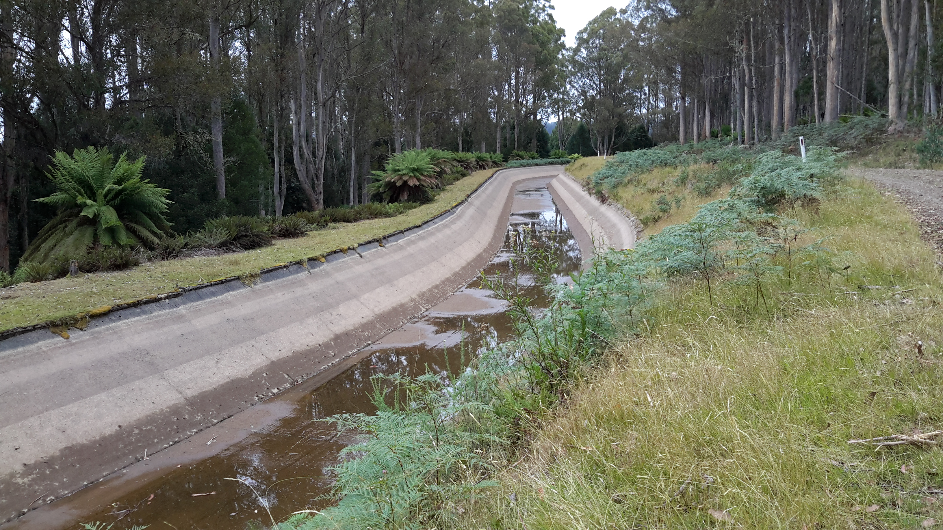
Thanks to blog follower Mary, I have discovered a series of online stories about past Hydro workers some of whom helped build the Tarraleah Canal No 1 and others who lived near other electricity generating power stations along the Derwent River. These short stories make interesting reading and include photographs of the people and places.

I recommend you look at Hydro Tasmania’s site where the son of Jack Warren records his history.  The photo below from that site shows Jack at Canal No 1 in 1935.

Jack Warren 1935 from Mary

Simon Stansbie’s record of growing up at Wayatinah can be read on the Hydro Tasmania’s website. Ian Berry tells us what it was like to grow up at Butlers Gorge (where the Clark Dam was built to hold back the waters of Lake King William).  You can read this and see photos at Hydro Tasmania’s site.

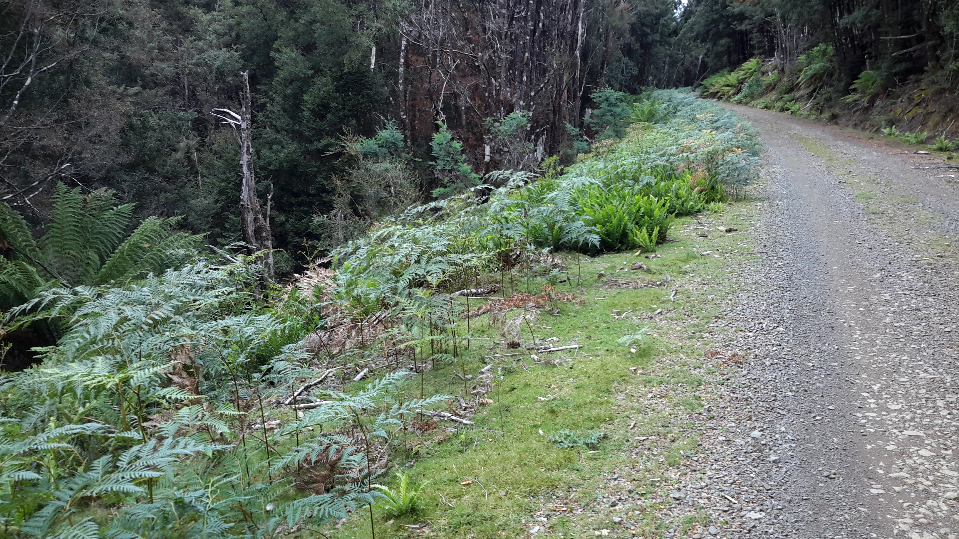
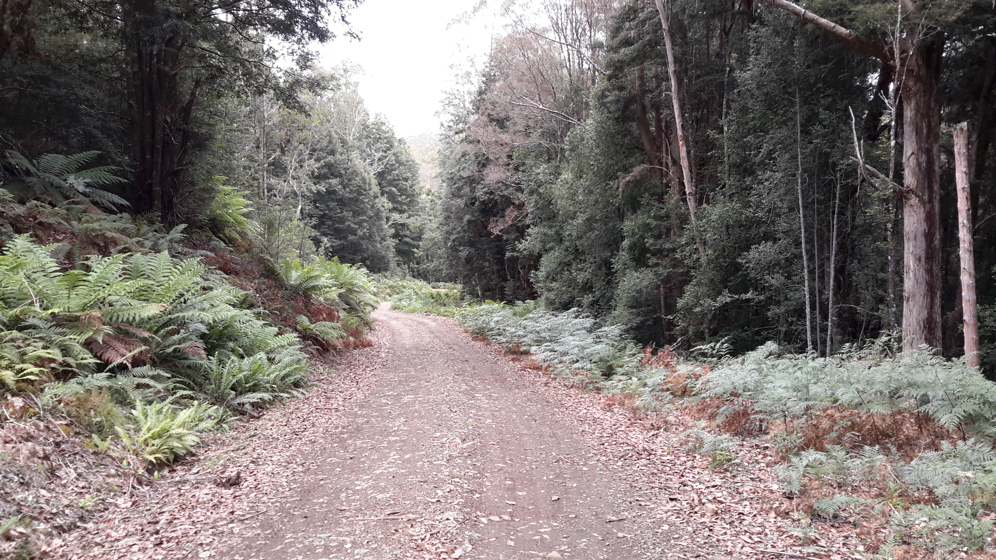
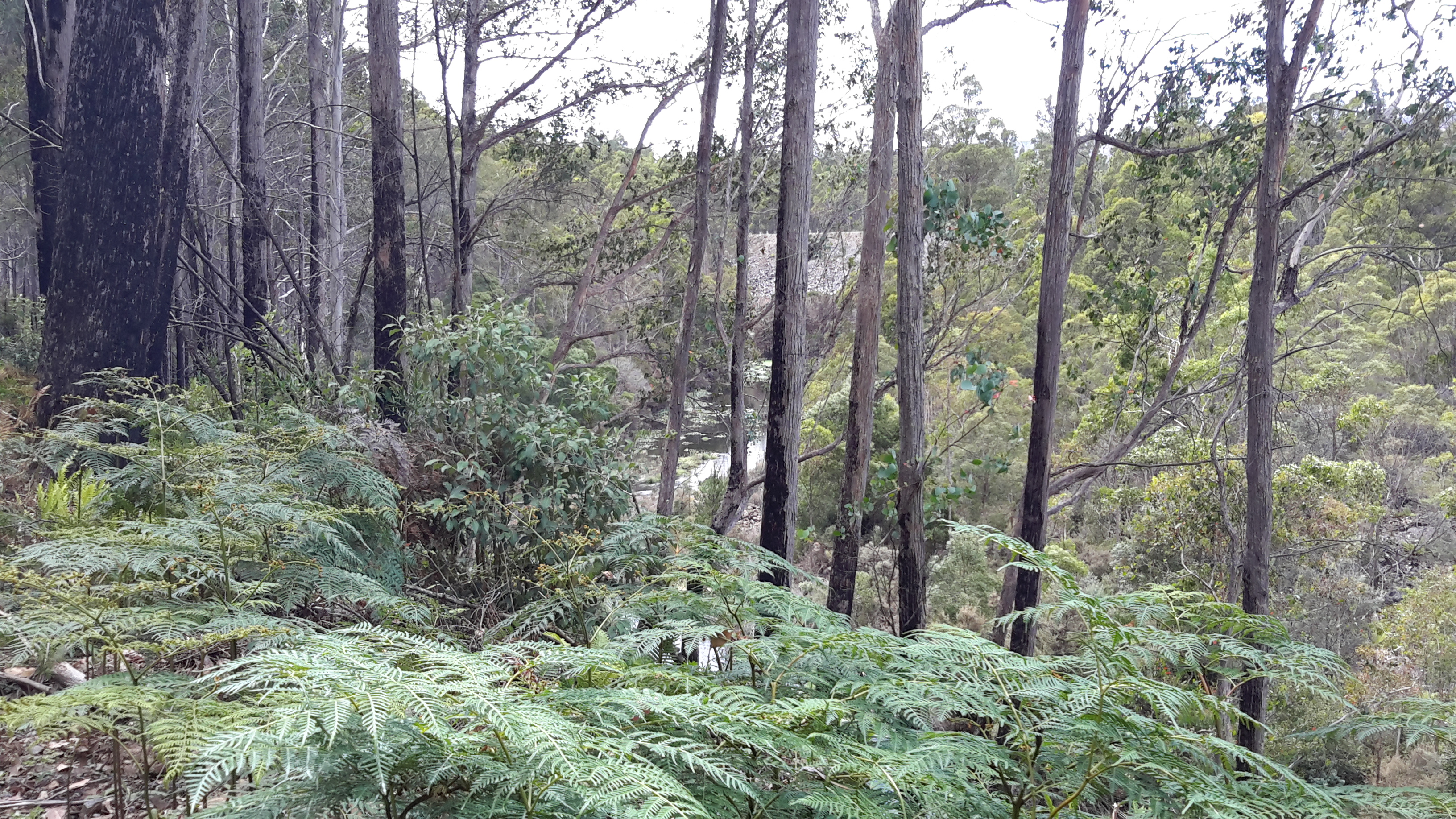
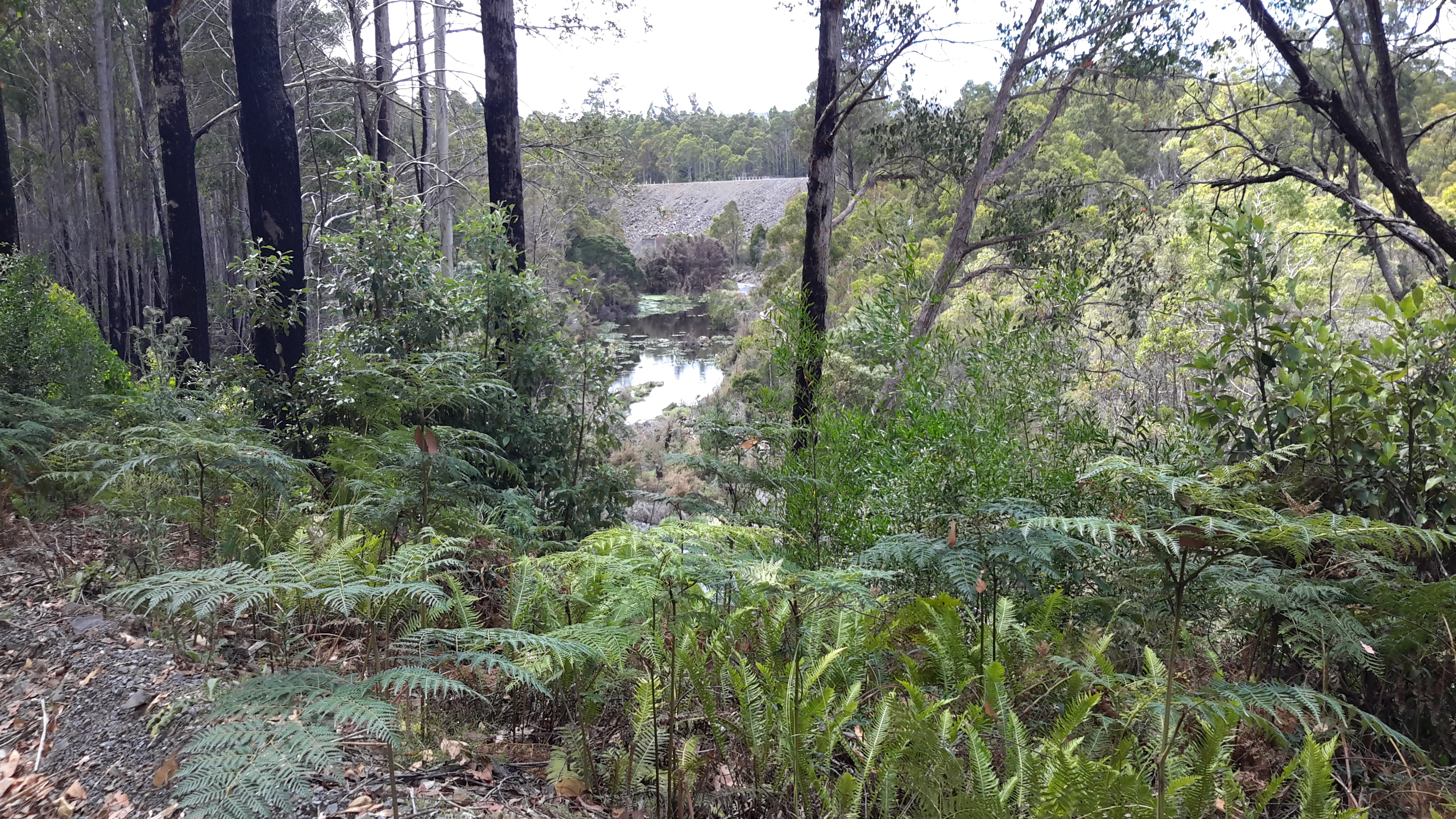
Collectively these stories give a little insight into the human reality of living and working in remote central Tasmania to create the extraordinary electricity generating infrastructure last century which used the waters of the Derwent River.

Heather Felton published a book, which tells these and other stories of the people of ‘The Hydro’.  Read more about the book: The Ticklebelly Tales.

Cover Ticklebelly Tales - Hydro.jpg

Information about the book launch can be read in issues of the Cultural Heritage Program Newsletter ; and at a second site.

I am not sure what the word ‘Tickleberry’ refers to.  Do I have any blog followers with this knowledge?  According to Wikipedia part of Tarraleah, the area for the married quarters of the original community, was known as Tickleberry Flat. In addition, during my walks I know that I have passed an area mapped as Tickleberry Flat which is south east of Curringa Farm, and almost south of the town of Hamilton mid-way along Meadowbank Lake – a long way from Tarraleah.  In New Norfolk Tickleberry Farm grows raspberries.  The name Tickleberry comes up in many internet searches.  The Brighton, Central Highlands, Derwent Valley and Southern Midlands Councils Joint Land Use Planning Initiative – Stage 2 Heritage Management Plan tells us “Hydro-electric power schemes which commenced in the early 1910s saw the development of construction villages across the highlands at Waddamana (from 1911), Shannon (1925), Tarraleah (1934), Tickleberry Flats (1935), Butlers Gorge (1938), Bronte Park (1948) and Wayatinah (1952). As these small communities grew, schools, shops, community halls, medical facilities and offices were established.”

After all of this, I still wonder what the original meaning of Tickleberry is: maybe someone’s name or a common name for a plant.

Tarraleah Canal No 1 walk – forests and fragrance

Before I had walked more than a few metres, I was delighted to see the multi species rainforest growing densely along the edge of Tarraleah Canal Number 1 and by the side of the Hydro Tasmania vehicular track next to the Canal.  The air was clean so that every hue of green, grey and brown provided a clear and rich visual texture.  The environment uplifted my spirits.

20160218_102527.jpg

20160218_102648.jpg

20160218_103259.jpg

20160218_103616.jpg

20160218_114433.jpg

20160218_115335.jpg

20160218_122651.jpg

All day I revelled in the fragrance emanating from the forest.  It was one of my walk’s great highlights. Thankfully my nostrils did not sniff out rotting animal odours.  From midday into the early afternoon when the air was warmest, the natural oils of the trees dispersed creating a strong natural perfume.  I could not identify all the trees that were visible leave alone those that were hidden in the dark thickets.  Therefore, I could not identify what I smelt.  I tried to think of words to describe the smell, but every description I considered is woefully inadequate. All I can say is that there was a hint of eucalyptus but a stronger minty-like freshness floating and pervading the environment.  I would love to be able to bottle that forest fragrance.

The quantity and volume of tree ferns astonished me as did how close they grew to each other. I guess that the disturbance to the ancient original forest, which occurred when the Canal was built, caused a monoculture of these plants to thrive.  Another of my walks, the one between Wayatinah and here, passed through this ridiculously dense bush. Often there wasn’t a person-sized space between the tree ferns, but I will write more about that challenging walk in a future post.


20160218_102537.jpg

20160218_104004.jpg

20160218_110020.jpg

20160218_110820.jpg

20160218_114642

This hilly landscape with the old Derwent River bed at the bottom constantly surprised me. I could see that thick seemingly impenetrable forests grew either side of the river bed.  In the photo below, the land drops steeply to the river bed and then rises equally steeply on the other side.  For much of the length of the Canal, when I looked at 150 metres of land across the flatness of a map, I realised the Canal was 250metres above the river bed; both the length and the steepness of the drop seemed extraordinary to me.

20160218_130226.jpg

20160218_130400.jpg

20160218_130702.jpg

20160218_130625.jpg

Towards the conclusion of the walk the nature of the vegetation seemed to change from dense wet thicket to a dryer and slightly more open landscape – or was it my imagination.

20160218_141341.jpg

Tarraleah Canal No 1 walk – what is the ‘real’ Derwent?

Will the real Derwent River please stand up!   Where should a person walk if they are ‘walking the Derwent’?

Since the Clark Dam was built in 1952, the Derwent River has not flowed from the area now known as Lake King William downstream across its original bed, until closer to Hobart.  Instead the Tarraleah Canals number 1 and 2 accept Derwent River water from Clark Dam/Lake King William at Butlers Gorge in central Tasmania.  These canals channel the water to penstocks that feed the Tarraleah Power Station.  Electricity is generated and then the water flows on to create more electricity at Liapootah then Wayatinah Power Stations.  Eventually the water empties into Lake Catagunya.

Catagunya Dam to Wayatinah PS.jpg

The old Derwent River bed is stony.  Along its length between Clark Dam and the bridge at Wayatinah, seepage from the steep hills creates pools of water.  There is sufficient water, although limited, to create a continuous running flow between the stones.  At the end of Spring the river bed looking upstream from Wayatinah was as follows:

20151029_113841.jpg

Michelle’s photo shows another view.

PA280100 on route to Tarraleah.JPG

In January the water level had dropped and the river bed looked like …

20160115_130425 Derwent.jpg

Similarly, between the bridge over the Derwent River bed at Wayatinah and the river’s meeting with the Florentine River, and downstream almost to Lake Catagunya, the river is often a stony bed with limited flow.

20160115_124544.jpg

Upstream from the junction of the Florentine and Derwent Rivers, upstream from the Wayatinah Power Station, I walked on the river bed where I could.

20151029_101151.jpg

To ‘walk the Derwent’ should one follow the original river bed or the Canals or a mix of both?

Since Tarraleah Canal number 1 runs more or less parallel to the old river bed and is usually located under 500 metres from that river bed, I chose to walk next to the Canal along the section before it turned inland to travel to Tarraleah Power Station. I rather liked the idea of staying as close to the original Derwent River course rather than following man-made deviations. However this ‘walkingthederwent’ project does raise the question as to what constitutes the ‘real’ Derwent River. Does it exist any longer? And therefore, is it possible to walk the Derwent?

The Derwent River near Wayatinah town ship

20160115_130309BBridge over Derwent at Wayatinah.jpg

20160115_130344 Derwent.jpg

20160115_130425 Derwent

20160115_130353 Derwent

20160115_130451.jpg

Salmon hatchery at Wayatinah on the Derwent

Next to the bridge over the Derwent River on Wayatinah Road, an Atlantic Salmon hatchery owned by Salmon Enterprises of Tasmania Pty Ltd trades as Saltas.

According to the Tasmanian Salmon Growers Association the business was established in 1985 ‘after a report to the Tasmanian Fisheries Development Authority concluded that a salmon farming industry could be successfully developed in Tasmania. As a result, in 1984 fertilised Atlantic salmon eggs were purchased from the Gaden Hatchery (Thredbo River, Jindabyne, New South Wales, Australia), which were from stock originally imported in the 1960s from Nova Scotia, Canada. A sea farm was established at Dover in the south of Tasmania and a hatchery was developed at Wayatinah in the central highlands.’

Innotech Controls claims Saltas is ‘Australia’s largest producer of Tasmanian Atlantic Salmon smolt, supplying over 3.5 million smolt each year to the Salmon farm industry.’  Their website provides details about water temperature management using the water of the Derwent River and Wayatinah Lagoon. ‘At Wayatinah, the water used by the SALTAS hatchery is gravity fed from the River Derwent. During the hot summer months, when river flow is greatly reduced, the water temperature can rise by as much as 10 °C in an 8 hour period. Water temperature in excess of 23 °C can be fatal to the fish stock. Located 1km from the hatchery is Wayatinah Lagoon, a man-made lake that forms part of the State’s Hydro Electric scheme. Research showed that at a depth of 6 metres, the water temperature was consistently between 9 and 17 °C. A project was undertaken to utilise water from the lagoon for temperature control at the hatchery and to provide additional water in times of low flow in the River Derwent. The water temperature is monitored at the hatchery where it is maintained at 16 °C +/- 1 by staging the water pumps at the lagoon.’

A thesis by Anna Do offers ‘SALTAS currently operates two hatcheries: Wayatinah hatchery on the Derwent River and the nearby Florentine hatchery‘. When I walked on the north/eastern side of the river upstream from the Wayatinah Power Station last year I could not identify the buildings near the confluence of the Florentine with the Derwent River. Now I understand that I was looking at the second hatchery.  In this thesis on page 8, an aerial photo of the Wayatinah hatchery shows the Derwent River with considerably more water flowing that exists today. Refer to my photos of a stony river bed earlier in this post.

The Derwent River flows over a rocky bed

20160115_123543.jpg

As I walked closer to Wayatinah, two ‘runways’ for the water became clear.

One extended from the Wayatinah Lagoon Dam wall and this was dry. I was glad that last year I had walked around the Lagoon Dam wall and understood how the wide spill-over channel was configured, otherwise seeing the massive dry rocky bed below would not have made sense.

20160115_124455.jpg

20160115_124552.jpg

Then, at a point, I could see the Wayatinah Lagoon in the middle distance.

20160115_124742.jpg

20160115_124812.jpg

The other ‘runway’ came from I knew not where and this was the strand which had water flowing along it. To the left of the dry rocky bed the River ran – and I can see it in the photos below.

20160115_124653.jpg

20160115_124835.jpg

20160115_124859.jpg

By the time I reached the spot where I took the preceding photograph, it was clear that another dam wall was raised at right angles to the one shown in front of the Lagoon earlier in this post.  I imagined that water was being released from the Lagoon at this wall to create the flow.

Further walking released more of that dam wall to view.

20160115_124934.jpg

20160115_124954.jpgAnd down below, the Derwent River chuckled along.

20160115_124913.jpg

Changes to the Florentine landscape

The tall straight native trees on the upside of Florentine Road were majestic and commanding.  In many ways these were ‘the finds’ of the day as I walked towards the bridge over the Derwent near the township of Wayatinah.

20160115_115001.jpg

20160115_115005.jpg

20160115_124408.jpg

But elsewhere on the upside of the road were the marks of degradation of the original native vegetation for forestry purposes.  Acres of land across so many hills have been cleared. It was not a pretty sight.

20160115_113111 Left turn to houses and buildings near Derwent Florentine junction.jpg

20160115_113246.jpg

20160115_113252.jpg

20160115_113838.jpg

Road signs alert motorists to expect great log trucks on this road – from experience they do not drive slowly and take up much of the road because they do not expect to see other vehicles. So caution and care is important.  Motorists also need to be watchful in case one of the remaining trees should fall across the road unexpectedly.  After drenching rains, the hold of the root systems of trees into the ground can be weakened. If windy weather follows, then trees may topple.

20160115_125812.jpg

Back to the Florentine River

Last year I wrote (The Florentine River flows into the Derwent Riverabout my walk from the Wayatinah Power Station westwards along the north/ eastern side of the Derwent River until I passed the point where the Florentine River entered opposite.  To cover the total distance from the Power Station to the Derwent River near the town ship of Wayatinah, more recently I walked on the south/western side of the Derwent River along the Florentine Road from near the Florentine River.  This short and easy walk, took me mostly uphill on a good gravel road, and allowed me to look down on the running Derwent.  Not a soul on the road, just the sound of birds and gushing water.

20160115_113122.jpg

Thanks to Deb, I was chauffeured to the Florentine River which meant I didn’t need to retrace my steps on that walk. That Florentine River is quite lively.

20160115_112146Florentine river.jpg

20160115_112155 Florentine River.jpg

Soon after leaving the Florentine, a thicket of bush fills the space between the road and the Derwent River.

20160115_113644.jpg

20160115_114026.jpg

As I walked I could see the river below. However now, in the photographs, the colour of the water and the shape of the river rocks blend with the vegetation colours so that I find it almost impossible to identify the water.  But trust me it’s there in the photos below.

20160115_114937.jpg

20160115_114945.jpg


Snakes alive

In recent walks (Nearing Derwent Bridge from Lake King William, and between the Florentine River and Wayatinah), I have been surprised to see two examples of one of Tasmania’s venomous snakes the White Lipped Snake, also known as the Whip Snake.  What I saw was a delicate slender olive greenish brown snake with soft looking velvety skin.  You can refer to the Department of Primary Industries, Parks, Water and Environment’s site for more information.

The first snake was close to a metre in length and calmly meandered across the stony track, about a metre in front of me, as I descended towards the town of Derwent Bridge. The second snake was just under half a metre in length and was lying on the gravel road in the greenish shade – something made me look down and I realised I was only a couple of steps from standing on it. Naturally I stopped, apologised for my intrusion, stepped away to the other side of the road, and the snake in its own good time, calmly and slowly slid off into the bush away from me.

The length of my snakes is greater than that which the above government website suggests for the standard length. Mine were very slim but long.

These experiences have now made me doubt a ‘fact’ which I had always believed.  The ‘fact’ is that snakes feel the vibration through the ground of something coming towards them and then disappear because they are fundamentally shy and do not seek confrontation. The website listed above suggests the Whip Snake is shy but my experience is at odds with their information.

A chat with another walker recently reminded me that wearing gaiters is a protection against snake bite on the lower legs.  I had forgotten that important use – I was only thinking of wearing them in muddy conditions.  If you don’t know what they look like, then the Paddy Palin website, for example, show a range of gaiter styles.

The complex that makes up Wayatinah – posting 7 of 7

The Derwent River at Wayatinah

20151029_113841.jpg

20151029_113829.jpg

From my aerial experience, I know the river looks like this all the way north-westwards of the Wayatinah Lagoon to Clark Dam at Butlers Gorge; a distance of not much less than 30kms in very steep country with numerous creeks cutting the landscape and flowing into the Derwent River.  In the post introducing George Frankland’s walk, mention was made of the Nive River. The Nive flows into the northern end of Wayatinah Lagoon. Before the Wayatinah dam was built, the Nive flowed directly into the Derwent.  The river edge between Wayatinah and Butlers Gorge is where Frankland and his expedition found two to four miles per day was the going rate because of the density of the bush. And then they gave up and walked inland away from the Derwent River.

 20151028_115431

20151028_115442.jpg  
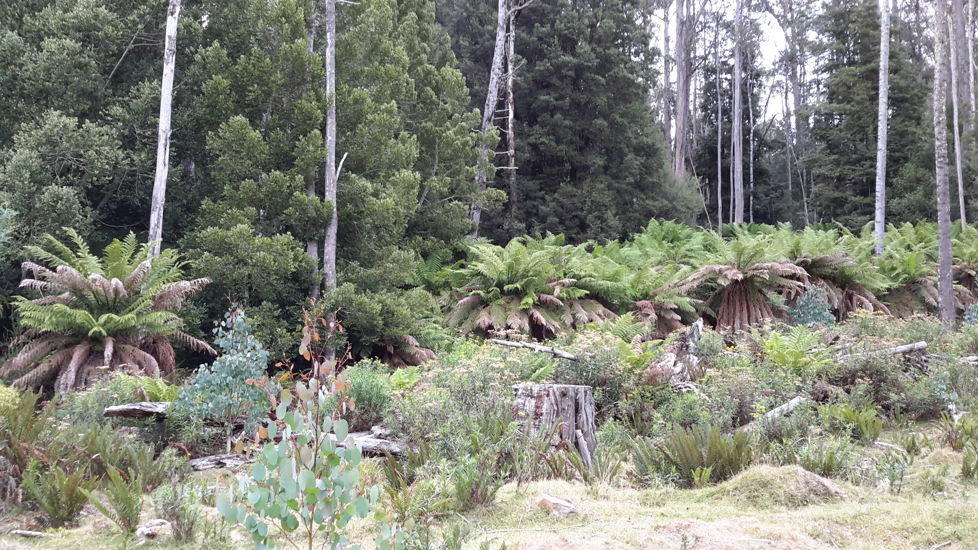
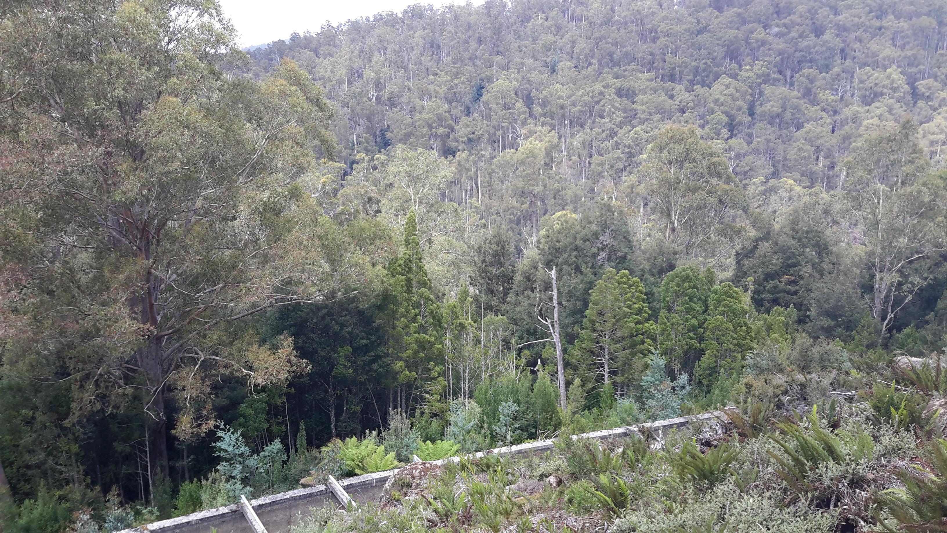
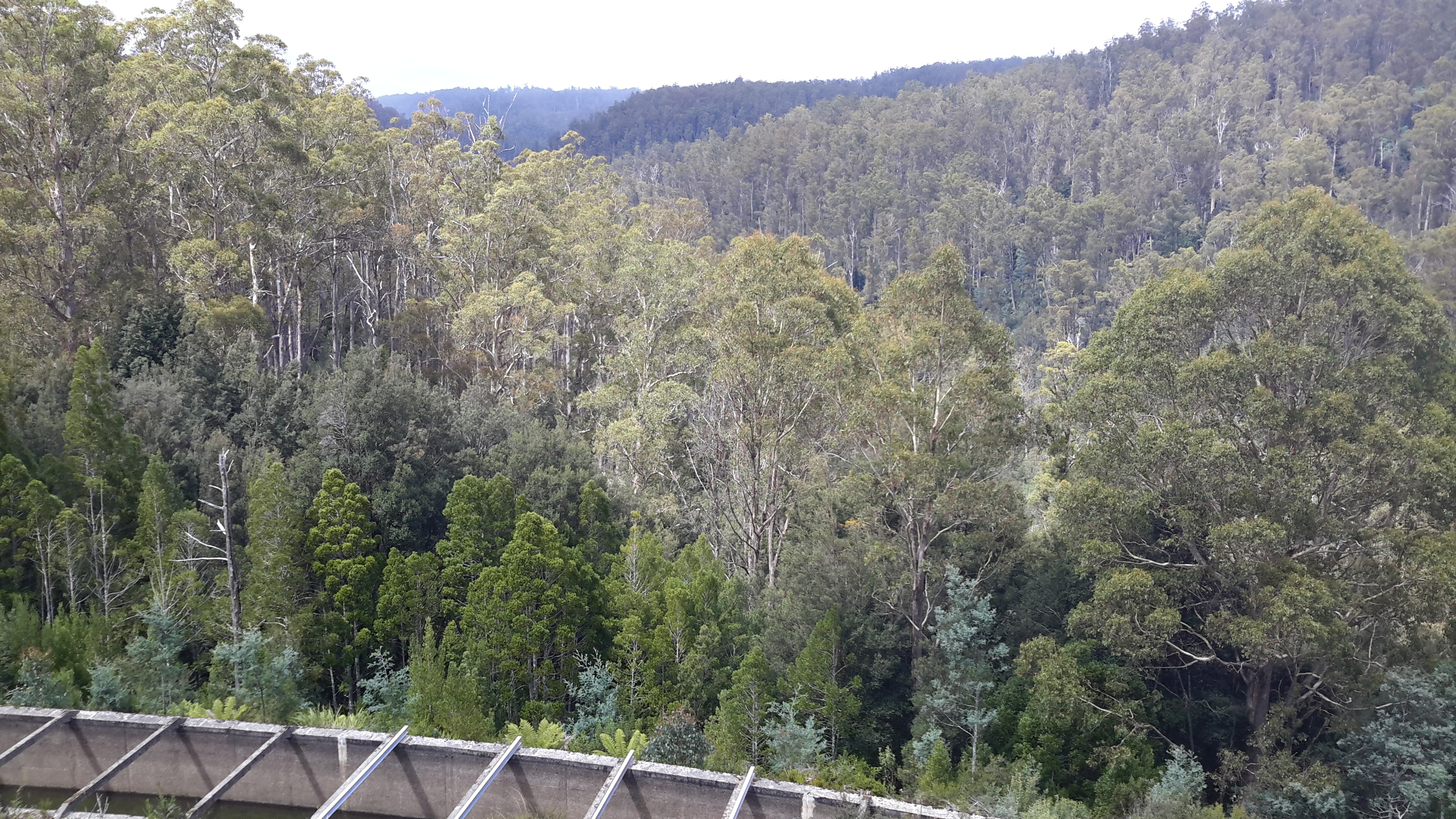
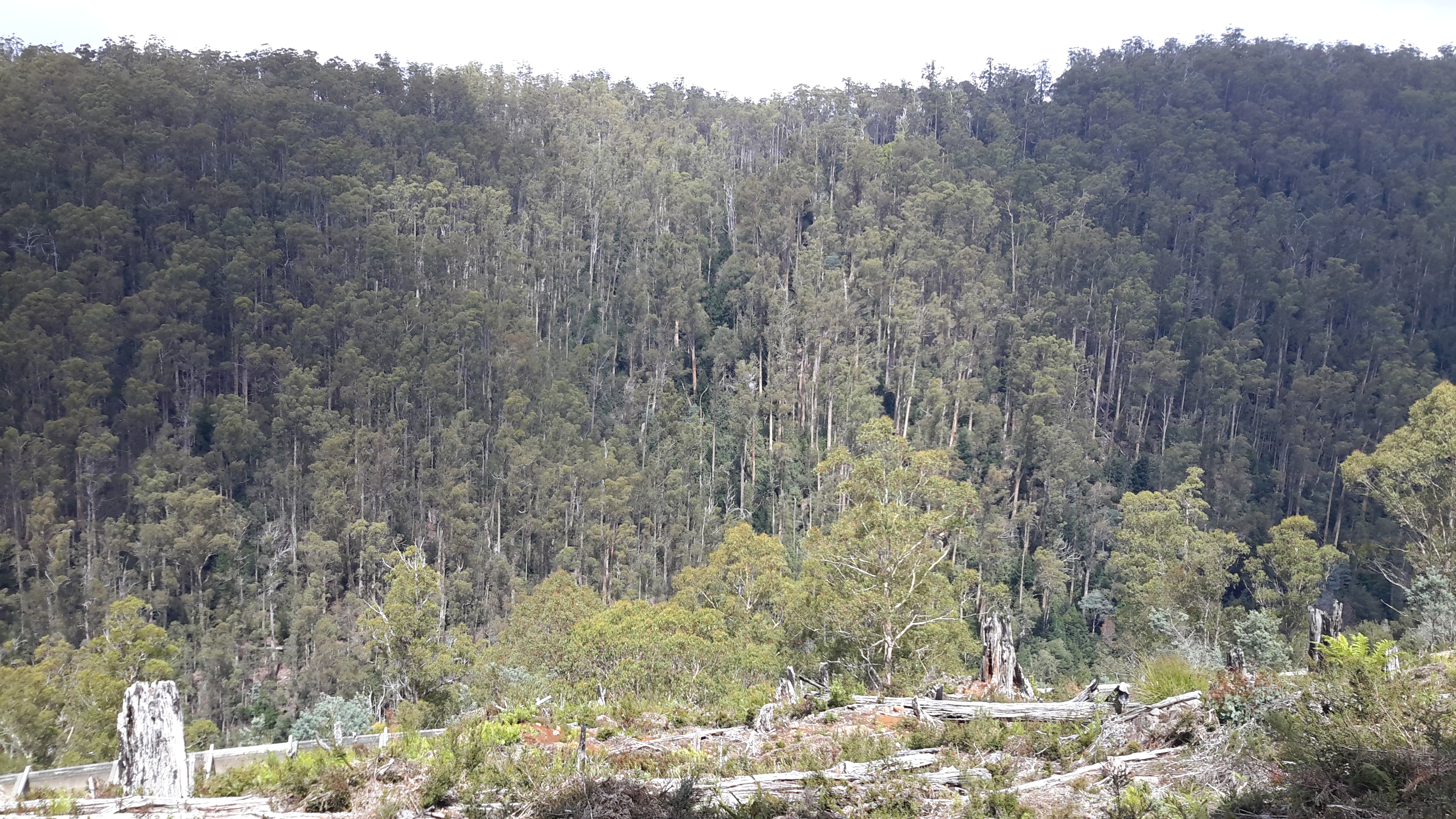
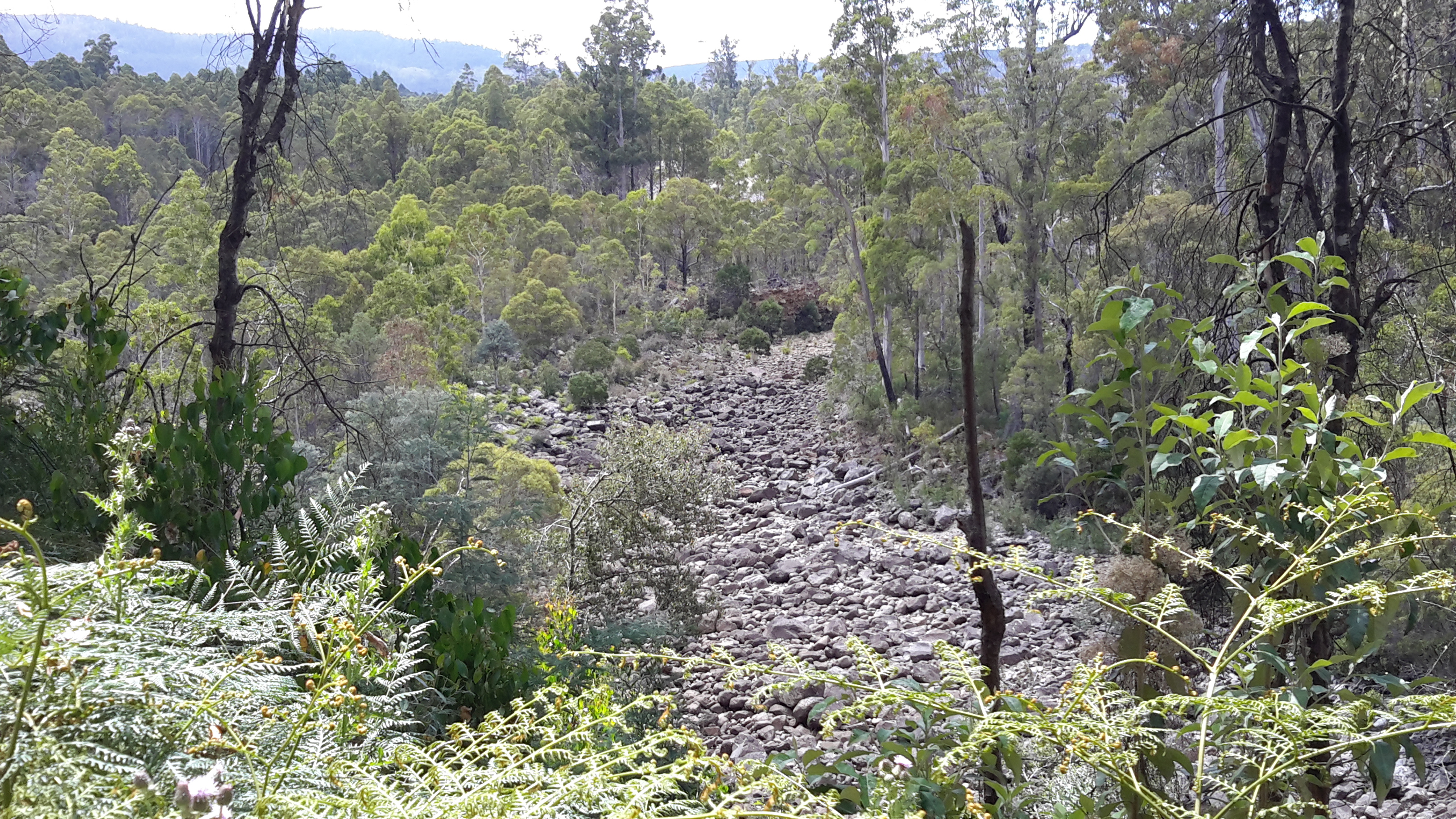
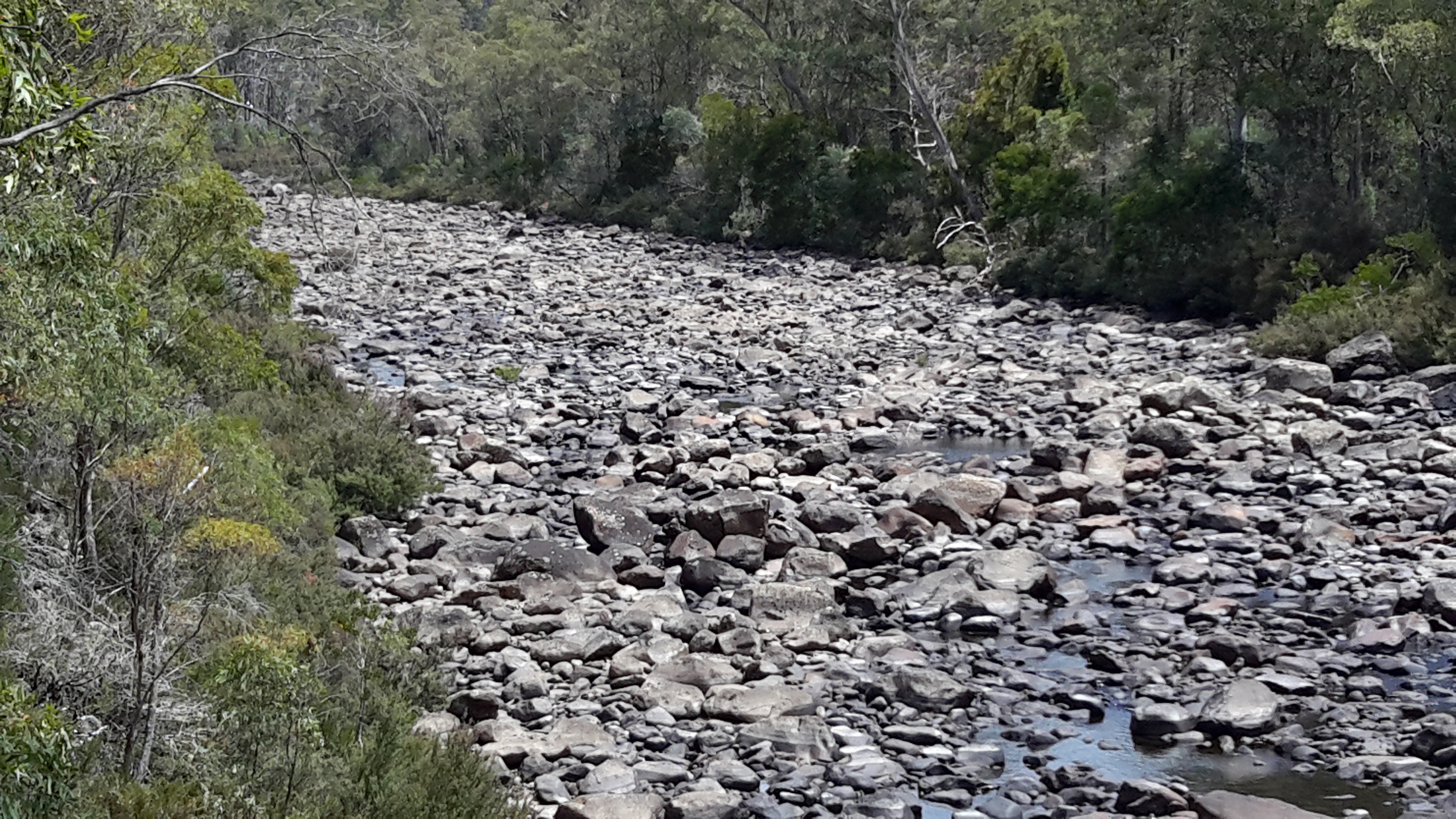
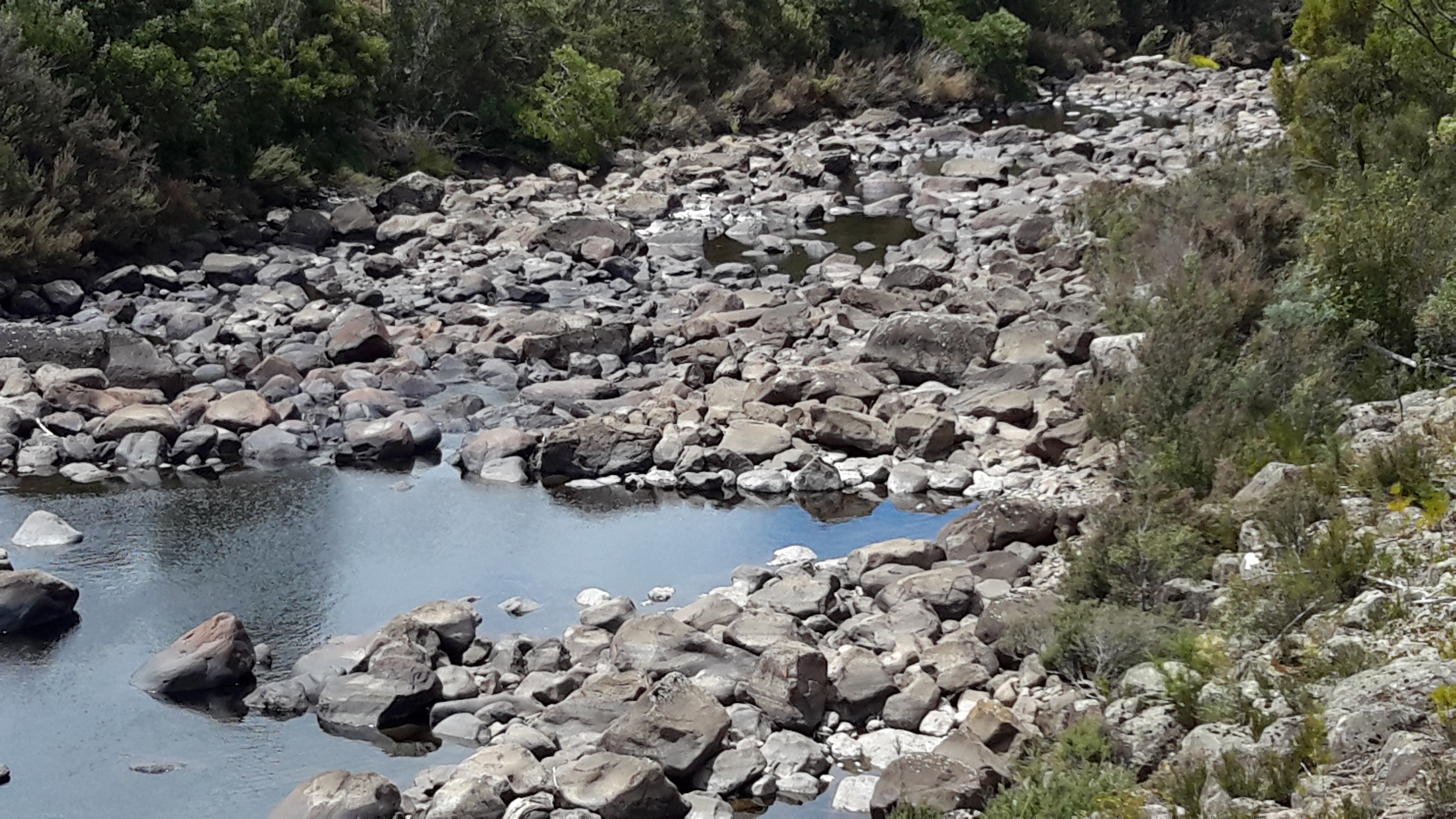
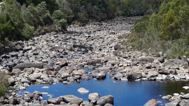
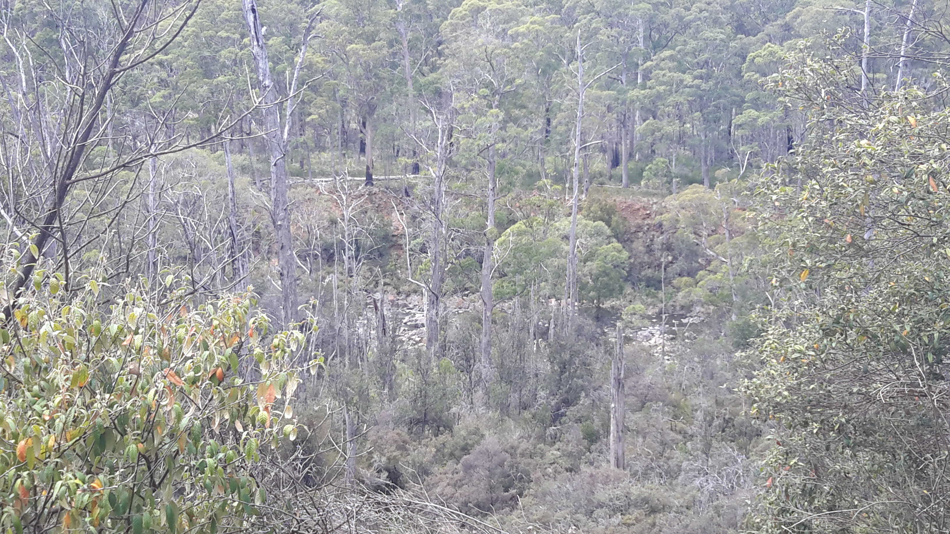
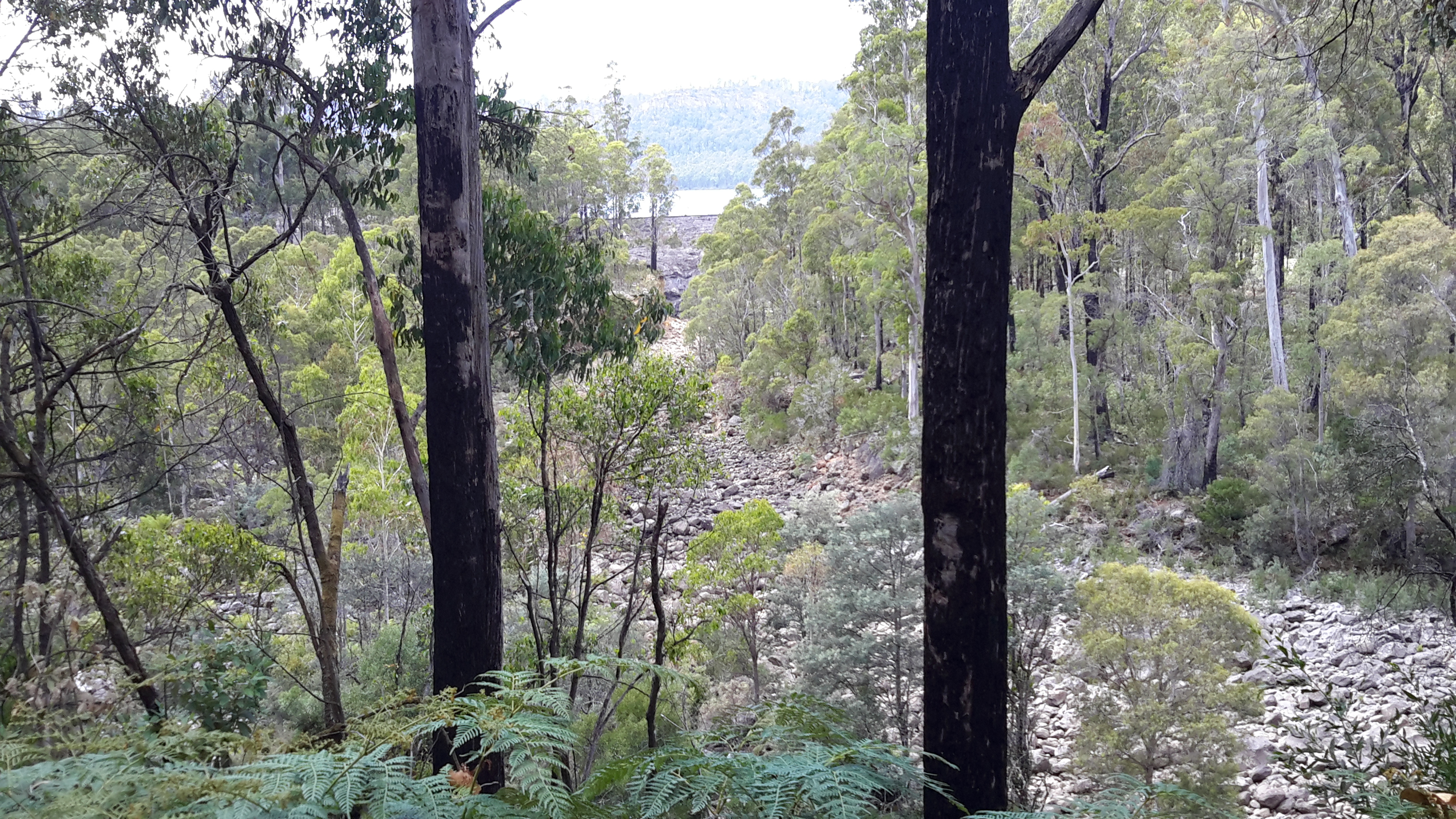
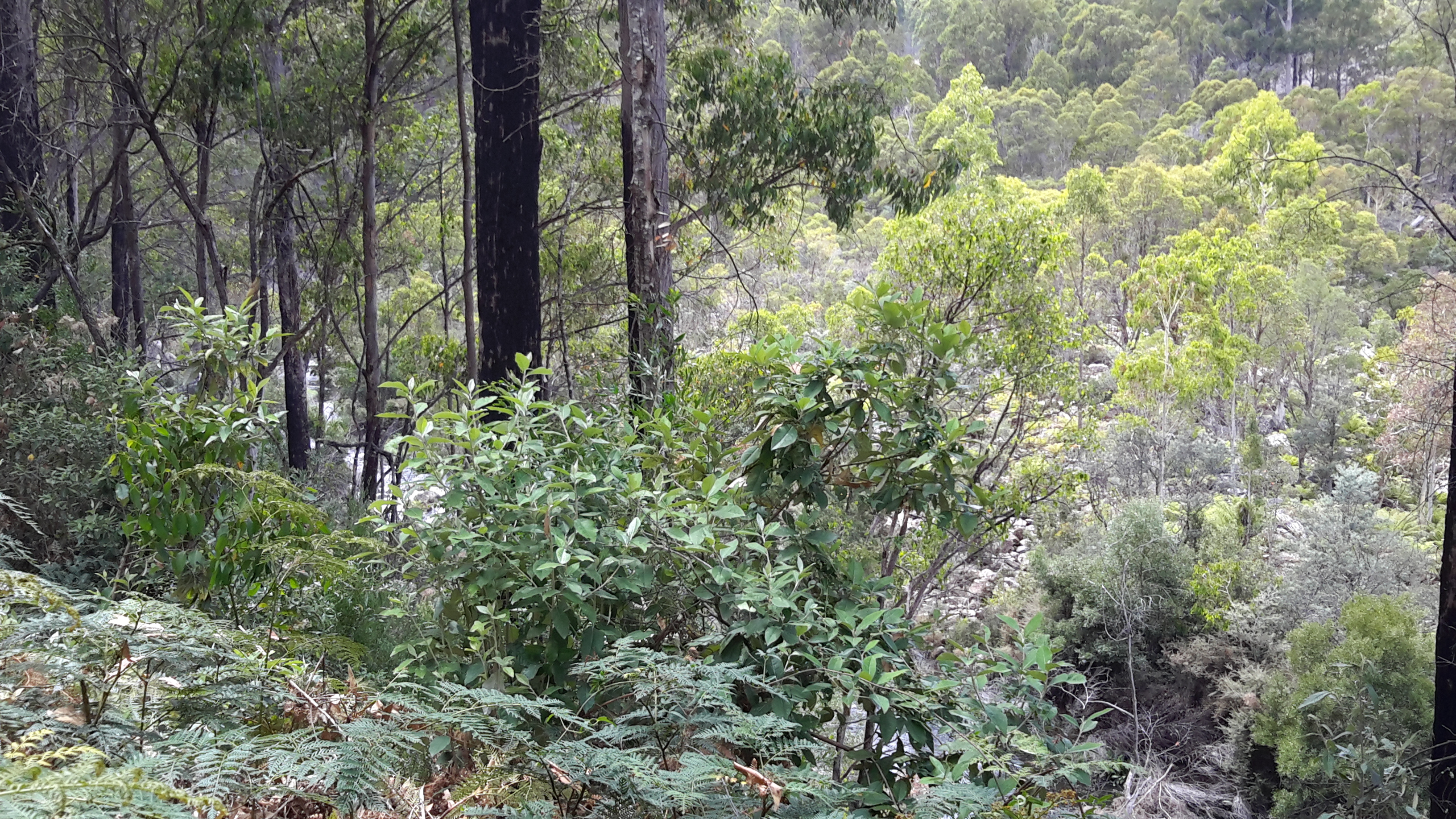
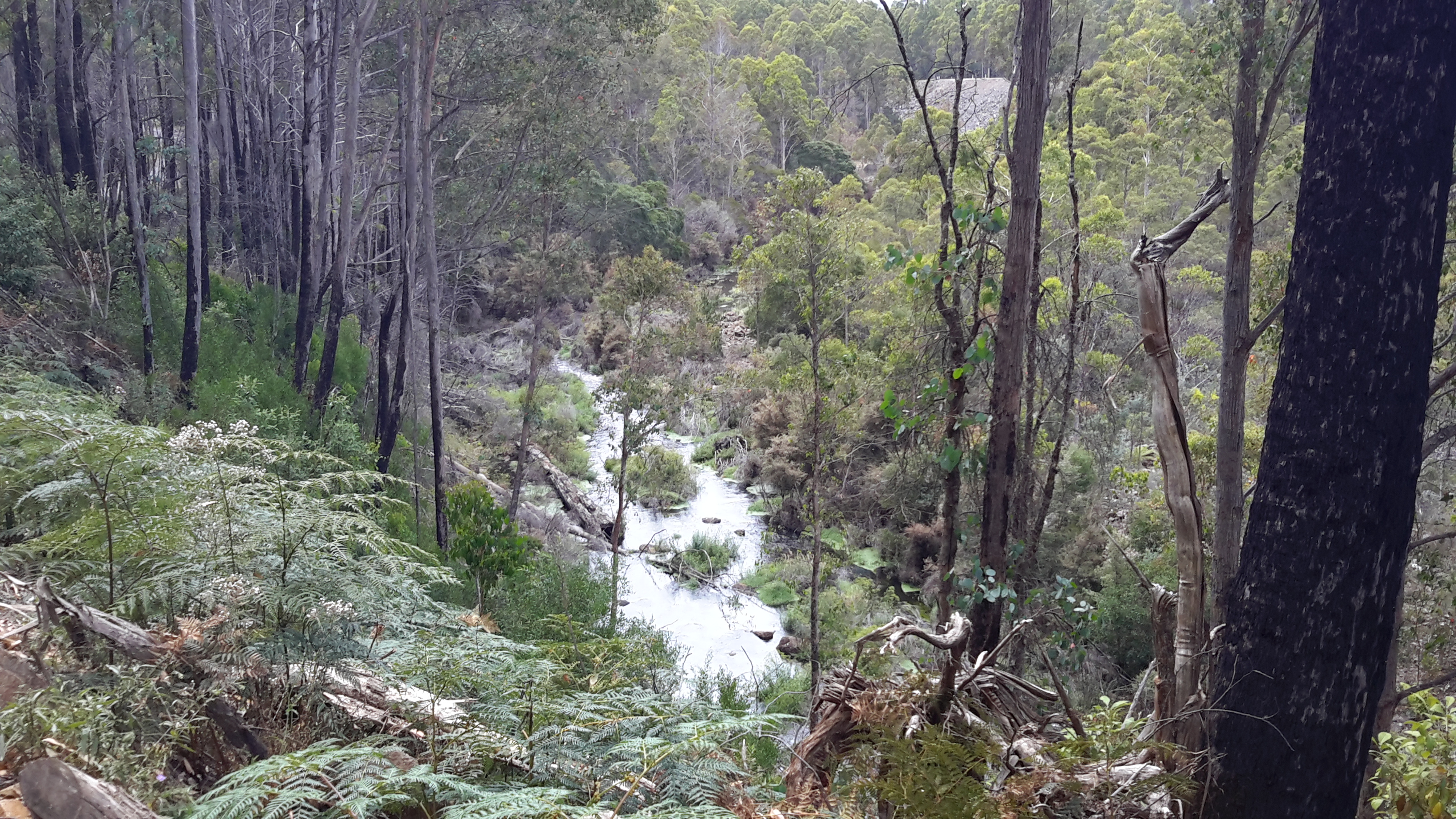
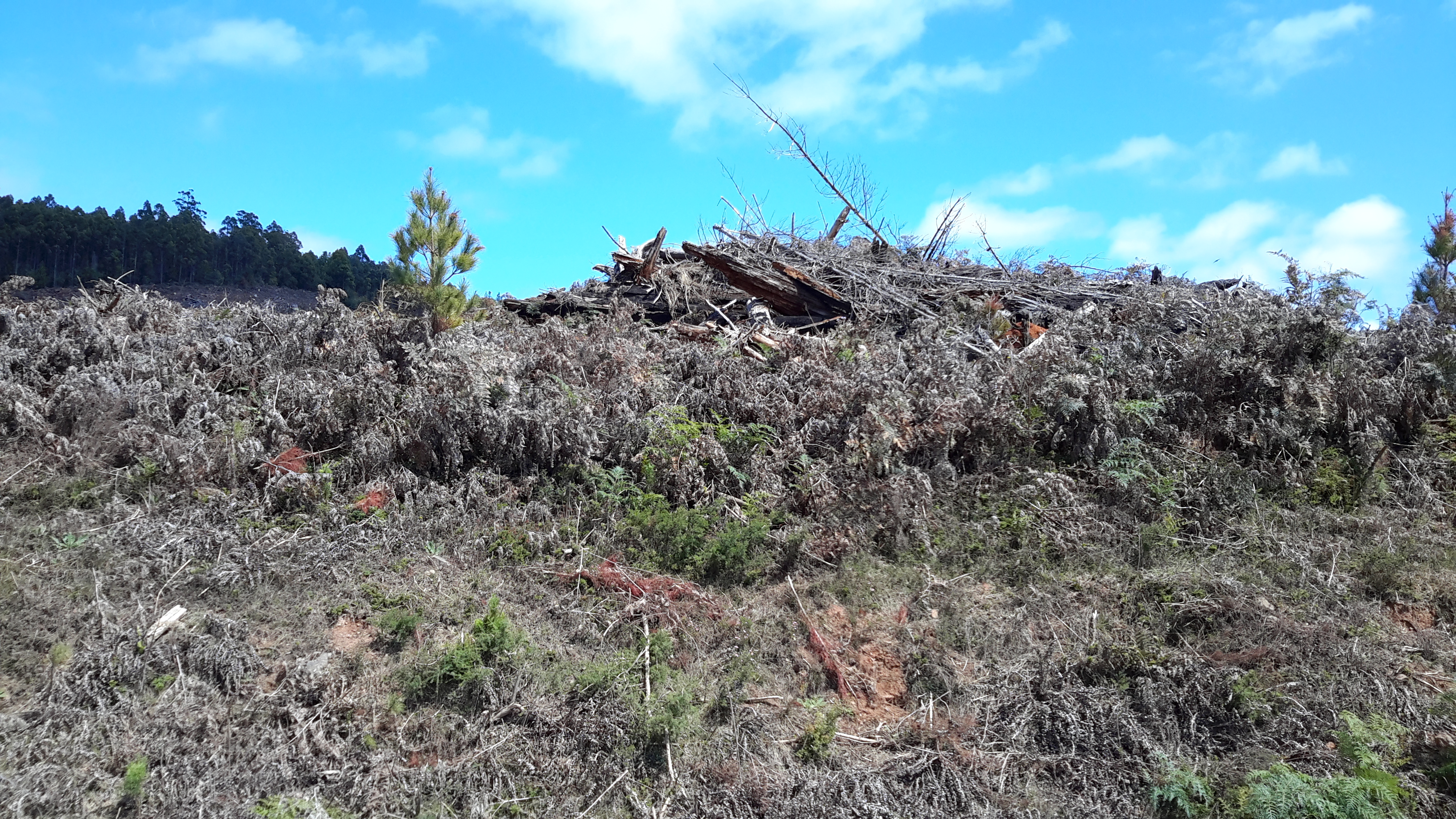
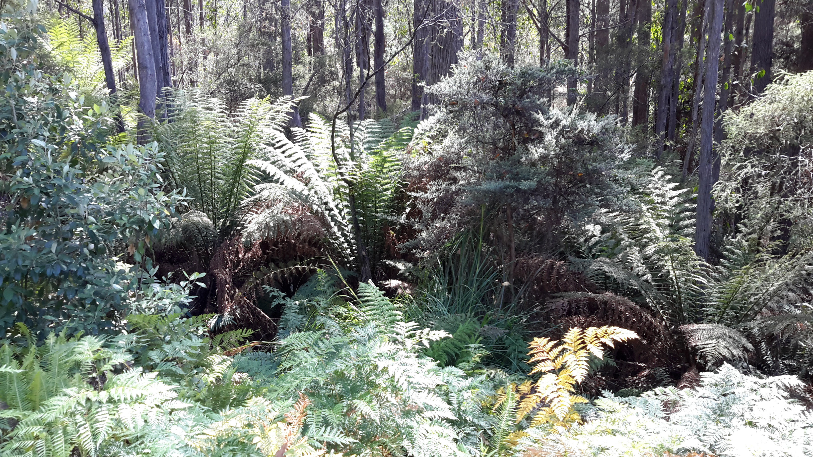
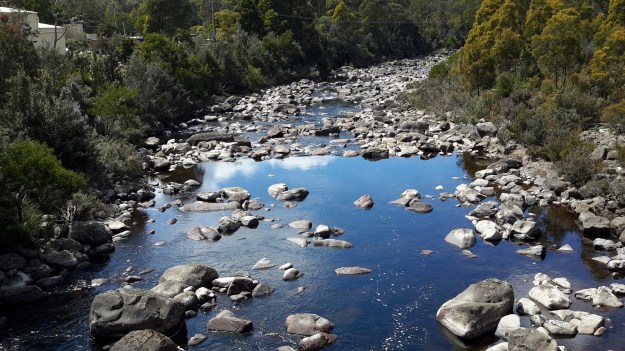
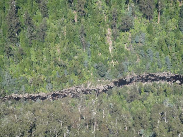
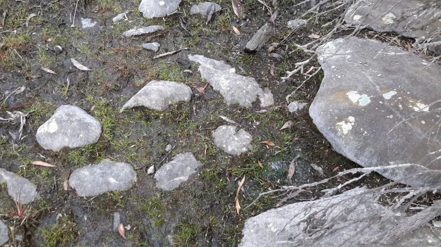
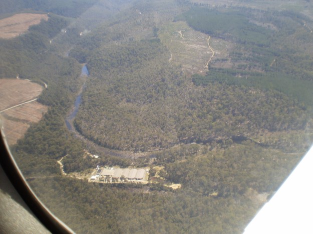
A couple of Chantale’s aerial photos show similar rocky beds along this remote and wild part of the Derwent River.
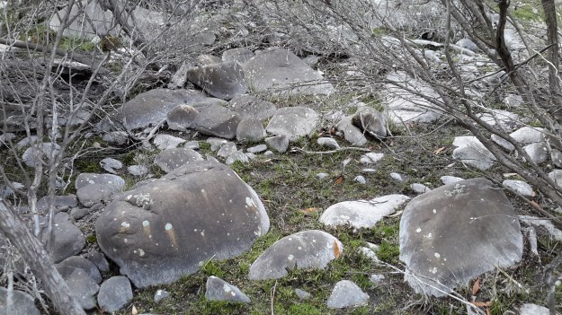
IMG_3828dryish river bed.JPG

IMG_3832.JPG


The complex that makes up Wayatinah – posting 5 of 7

The Florentine River flows into the Derwent River.

Westwards from the Wayatinah Power Station, Andrew and I covered some kilometres of bush, clambering over fallen trees and through a mesh of understorey vegetation.  The marks of mankind were clear despite the absence of tracks; various weeds were flourishing.

20151029_091112.jpg

And through the bush in two different locations a well secured lidded white box sat alone with a surname and phone number written on top.  These were not bee hives and we could not determine their function.

20151029_093657.jpg

Once we had walked further westwards past the meeting of the Florentine River with the Derwent River, the Derwent presented with a low water level and stony river base.

20151029_094042.jpg

20151029_094127.jpg

However there were sections containing more water.

20151029_094048.jpg

Along the way we discovered the remains of an old shed and an ancient water level monitoring system, through which a bush fire had passed.

20151029_101015.jpg 20151029_101039.jpg

20151029_100953.jpg

20151029_101649.jpg

Bits of iron and steel were scattered through the cleared surrounds.

20151029_100936.jpg

20151029_100939.jpg

I loved the way the corrugated iron had been ‘stitched’ with wire to create the building. Very enterprising.

20151029_102240

20151029_102243

Amidst this debris a lone native orchid bloomed.

20151029_103015.jpg

Down next to the river bed, a water level height gauge was marked in imperial measurements, therefore indicating a date before the mid-1960s.

20151029_101155.jpg

20151029_101151.jpg

20151029_101548.jpg

20151029_100933.jpg

20151029_101745.jpg

We wondered what sort of electronic or satellite related devices and measurement tools were used these days.

I found this trackless walk to be very hard going (at the pace Andrew set) because negotiating the bush took thought and time.  I reflected on the challenges this section would pose if I had been carrying a full backpack.

Michelle’s aerial view gives an idea of the dense bush on the top side of the River where we walked.

PA280093Florentine & derwent intersection.JPG

The complex that makes up Wayatinah – posting 3 of 7

Wayatinah Power Station

On Thursday 29 October 2015, Andrew drove me off the Lyell Highway and down Long Spur Road to Wayatinah Power Station. An underground pipeline from Wayatinah Lagoon fills penstocks which fall down steep hills to the Power Station.  The water exiting the Station empties into Lake Catagunya, through which the Derwent River flows.

20151029_090827.jpg

Watch the video.

20151029_091538.jpg 20151029_091554.jpg


The complex that makes up Wayatinah – posting 2 of 7

Wayatinah Lagoon

Having taken a turn off Long Spur Road, Andrew and I were the only visitors to this misted expanse of water on the 29 October 2015, the characteristics of which were almost total silence and an immense sense of quiet peacefulness.  I felt privileged to stand in such a serene environment, and smell the clean fresh air.

20151029_084702 Liapootah PS on hill in distance.jpg 20151029_084713.jpg 20151029_084742.jpg 20151029_084845.jpg

Watch the video.

A boat ramp, away from the infrastructure that accepts the water to be transported to the Wayatinah Power Station, ensures the safety of anglers from any unexpected water level changes.

20151029_084906.jpg 20151029_084829.jpg

Michelle’s aerial photo below gives some indication of the size of this Lagoon, and the way the river bed snakes away from it amidst dense vegetation heading towards Hobart.

PA280095 Wayatinah Lagoon.JPG

The complex that makes up Wayatinah – posting 1 of 7

As an introduction to the widely spread features of Wayatinah, the Derwent River runs in a south easterly direction past many acres of State Forest before flowing into the expansive Wayatinah Lagoon, a waterstore located five or so kilometres north of the Wayatinah Power Station. The Lagoon’s water is piped to the Station first underground and then overground in massive white pipes.

Excess water from the Lagoon seeps, dribbles or spills back into the Derwent River at the Wayatinah Dam, which isn’t far from the Wayatinah township. Then the low water level of the river trickles over a rocky base until it catches the flow of the  Florentine River before continuing on to become part of Lake Catagunya.  The western most reaches of the Lake have already formed before the river reaches the Wayatinah Power Station.

Dams on the Derwent River

The potential of the volume of water passing down the Derwent River for hydro-electricity generation was seen over a century ago.  While a few power stations were built in the early decades of the 20th century, with an influx of migrants from war ravaged Europe in the 1940s-50s, the numbers of dams and power stations increased quickly.  Overall, many dams and approximately 30 power stations have been built across central Tasmania.

On my way to Lake St Clair, I will reach and walk past each of the following 7 markers along the River:

  • Meadowbank
  • Cluny
  • Repulse
  • Catagunya
  • Wayatinah
  • Tarraleah
  • Butlers Gorge

One of the Hydro websites provides detailed information about these and others which feed into the Derwent River catchment.  In addition, the site includes the diagram below.

Derwent dams

Possible locations where the Derwent River can be ‘touched’

I have compiled a list of those locations where I believe, with a vehicle, it will be possible to ‘touch’ the Derwent River occasionally along its length between Gretna and Lake St Clair.  Please let me know if any section listed below takes your fancy and if you would be interested to try it out.

Almost all sections include driving on bitumen highway, gravel roads and poor tracks. Some of these may be forestry roads.  If you wish to volunteer to take me to one of these sections (let me know on walkingthederwent@gmail.com), please feel comfortable that your car can handle the different conditions.  Of course, common sense will prevail and we will never push on if a road is too rough for your vehicle and your peace of mind.

If you are happy to help me reach my goal, albeit differently than originally expected, I would like to fill up your tank with petrol as some compensation.  You know my ‘walking the Derwent’ is a non-commercial project, but since I do not own a car nor drive, I need transport – and therefore, I am happy to cover the cost.

  1. On eastern shore – From New Norfolk drive along the Lyell Highway and then, not far past Gretna’s Sports ground, take a left turn into Clarendon Road and drive to farmstead buildings about 250 metres from the river on a hill. Perhaps 140km return trip.
  2. On western shore – From New Norfolk drive along Glenora Road, and turn left at Bushy Park then right onto Meadowbank Road over the Tyenna River then next to Derwent, then on over Meadowbank Creek to a hill top with buildings. It may be possible to continue quite a way on this road. Minimum 130 and maybe up to 160kms return trip
  3. On eastern shore – From New Norfolk drive along the Lyell Highway and turn left off the Highway onto Meadowbank Dam Road. Continue to dam and southern end of Meadowbank Lake. At least 170 kms for round trip.
  4. On western shore – Travel from New Norfolk and turn left into Gordon River Road at Bushy Park, then turn right off Gordon River Rd into Ellendale Rd and then right onto Rockmount Road before you reach the township of Ellendale. There seem to be many dirt forestry tracks to Meadowbank Lake. At least 170kms return trip and maybe 200kms return or more depending on roads.
  5. On western shore – Travel from New Norfolk and turn left into Gordon River Road at Bushy Park, then turn right off Gordon River Rd into Ellendale Rd and drive on through the township of Ellendale until you reach Dawson Rd / Dunrobin bridge over Meadowbank Lake. Turn left before bridge and it seems we can drive 2kms further up along the Lake edge. Return to Ellendale Road, cross bridge and connect with the Lyell Highway. At least 170kms return trip and maybe 200kms return or more depending on roads.
  6. On eastern shore – From New Norfolk drive up Lyell Highway and continue past the left turn off to Dunrobin bridge and afterwards and to the left there are a number of dirt tracks seemingly without gates. After a while these tracks/roads only extend to the Ouse River and not the Derwent River so map consultation is crucial. At least 180kms return and maybe over 200kms return depending on how many side roads/tracks can be driven along.
  7. On eastern shore – Drive up Lyell Highway past Ouse then turn left at Lake Repulse Road. Continue to intersection with Cluny Lagoon Road and turn left and go to Cluny Dam. Return to intersection and continue on Lake Repulse Road to the Repulse Dam. Can cross a bridge and continue back south around Cluny Lagoon to a ‘settlement’ named Cluny.  Perhaps could access this road from the Ellendale Rd on the western shore? By driving north from Repulse Dam along Dawson Road/then renamed Thunderbolt Road it seems we can take right hand detours to Lake Repulse. Over 200kms maybe 250kms or more minimum round trip.
  8. On eastern shore – Drive up Lyell Highway past Ouse, over the Dee River until the sign appears for a left turn at Catagunya Road. Drive down to Catagunya Dam. 200kms minimum return trip
  9. On eastern shore – Drive up Lyell Highway past Ouse, over the Dee River, past Black Bobs and turn left at Long Spur Road. This runs around Wayatinah Lagoon. Go past the intersection to Wayatinah Dam, turn left and travel to Wayatinah Power Station on Lake Catagunya. Return to intersection and turn left and travel to Wayatinah Dam. Cross bridge and continue on to Wayatinah township. Access dirt tracks in the vicinity of all. Drive south from the Wayatinah Dam on the western shore along the Florentine Road but don’t bother crossing the Florentine River because the road goes inland away from the river. Minimum of 230kms but most likely  at least 300kms round trip.
  10. On eastern shore – Drive up Lyell Highway and when you reach a canal passing under the road, and where the road turns right to go to Tarraleah, go straight ahead on Butlers Gorge Road. Note there are limited roads off and around going closer to the river near that intersection. Continue along Butlers Gorge Road for 10-15 kms heading for Lake King William. Reach Clark Dam and Power Station. Continue onto Switchback Track along side of Lake King William. This track stops and you have to return the same way – swamp separates you from the track north about 500 metres away. This would be a big day and I suggest take overnight accommodation at Tarraleah before setting out. PERHAPS it is possible to walk across the swamp and then walk about 7 kms to Derwent Bridge. Unknown over 300 kms return trip.
  11. On eastern shore – Drive up Lyell Highway to Derwent Bridge and continue past to left hand turn off on the western side of Lake King William and drive the track to the lake. 360 kms return trip minimum.
  12. On eastern shore – Drive up Lyell Highway to Derwent Bridge. Walk from the bridge over the Derwent River near the township of Derwent Bridge to St Clair Dam at the bottom of Lake St Clair Lagoon where the Derwent River starts. Walk to Pump House Point and St Clair Weir at the southern end of the Derwent Basin. 350kms return trip minimum.