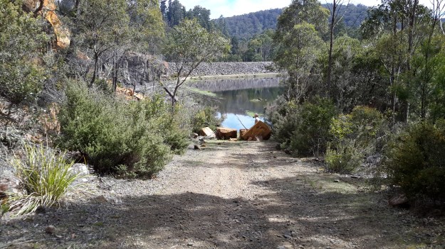
Tag Archives: water level

The complex that makes up Wayatinah – posting 6 of 7

Wayatinah Dam

Instead of driving back to the Lyell Highway straight away, Andrew and I took a detour left off Long Spur Road and arrived at an impasse with the Wayatinah Dam ahead.  I had hoped we could drive across but this wasn’t to be.

20151029_111237.jpg

Nevertheless the water level was low and it was easy to walk across and connect with the road from Wayatinah township a few kilometres away.

20151029_111352.jpg

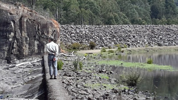
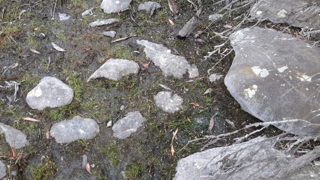
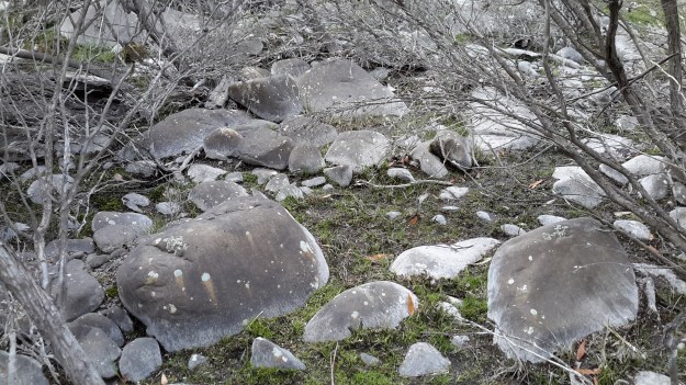
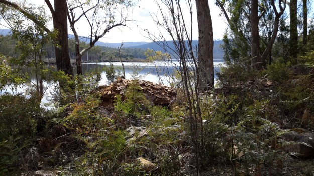
Decades ago thousands of tonnes of rock had been blasted to create a slipway beyond the Dam and the Lagoon. The scale of that effort was very impressive.  Clearly huge volumes of water had passed over the Dam in the past; these hard volcanic rocks were somewhat smooth.

20151029_111453.jpg Dam slipway.jpg

Wayatinah Lagoon backed up to the dam wall.

20151029_111239.jpg 20151029_111241.jpg

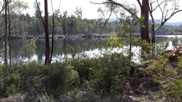
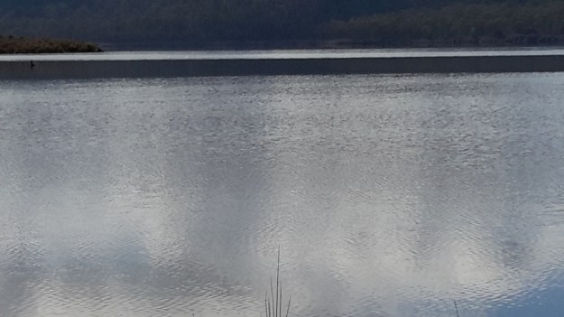
Looking across the Lagoon gave me an immense sense of calm.

20151029_111527.jpg

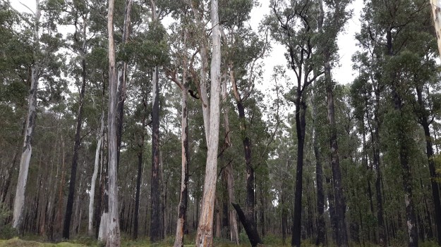
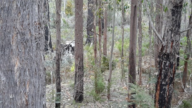
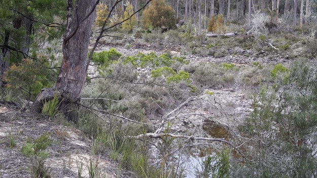
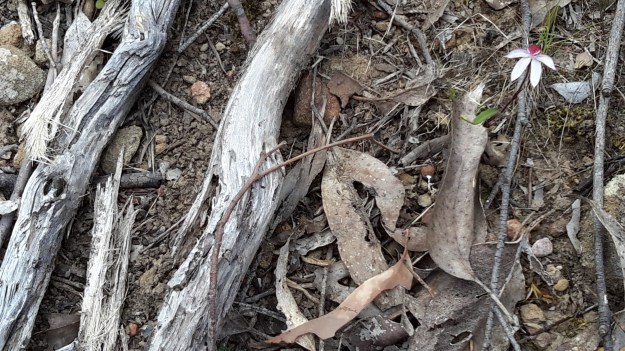
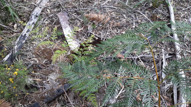
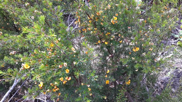
Examples of the flowering vegetation:

20151029_111842.jpg

20151029_111849.jpg

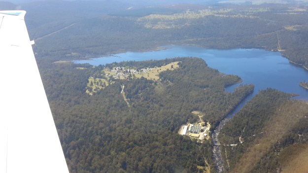
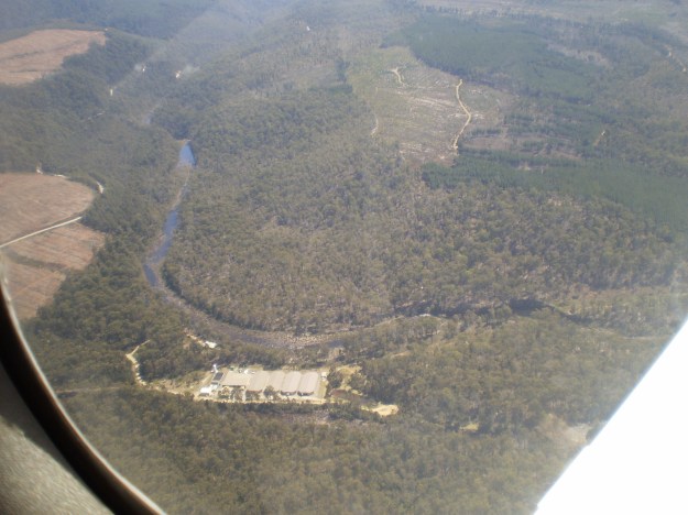
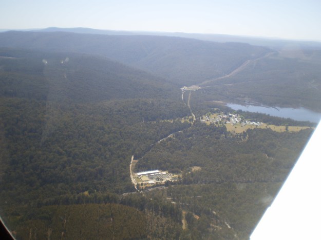
Later we drove through the Wayatinah township.  Michelle’s aerial photo shows the town on a cleared hill with some of the Wayatinah Lagoon visible.

PA280097Wayatinah township.JPG

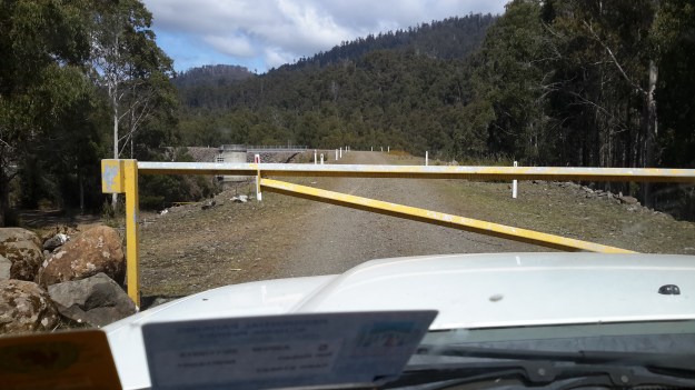
After passing through the town, we proceeded down to the dam wall and were met with locked gates.

20151029_114511.jpg

A sense of the scale of the town in relation to the Lagoon in relation to the Dam can be seen in my aerial photograph.

20151028_115428.jpg

The complex that makes up Wayatinah – posting 5 of 7

The Florentine River flows into the Derwent River.

Westwards from the Wayatinah Power Station, Andrew and I covered some kilometres of bush, clambering over fallen trees and through a mesh of understorey vegetation.  The marks of mankind were clear despite the absence of tracks; various weeds were flourishing.

20151029_091112.jpg

And through the bush in two different locations a well secured lidded white box sat alone with a surname and phone number written on top.  These were not bee hives and we could not determine their function.

20151029_093657.jpg

Once we had walked further westwards past the meeting of the Florentine River with the Derwent River, the Derwent presented with a low water level and stony river base.

20151029_094042.jpg

20151029_094127.jpg

However there were sections containing more water.

20151029_094048.jpg

Along the way we discovered the remains of an old shed and an ancient water level monitoring system, through which a bush fire had passed.

20151029_101015.jpg 20151029_101039.jpg

20151029_100953.jpg

20151029_101649.jpg

Bits of iron and steel were scattered through the cleared surrounds.

20151029_100936.jpg

20151029_100939.jpg

I loved the way the corrugated iron had been ‘stitched’ with wire to create the building. Very enterprising.

20151029_102240

20151029_102243

Amidst this debris a lone native orchid bloomed.

20151029_103015.jpg

Down next to the river bed, a water level height gauge was marked in imperial measurements, therefore indicating a date before the mid-1960s.

20151029_101155.jpg

20151029_101151.jpg

20151029_101548.jpg

20151029_100933.jpg

20151029_101745.jpg

We wondered what sort of electronic or satellite related devices and measurement tools were used these days.

I found this trackless walk to be very hard going (at the pace Andrew set) because negotiating the bush took thought and time.  I reflected on the challenges this section would pose if I had been carrying a full backpack.

Michelle’s aerial view gives an idea of the dense bush on the top side of the River where we walked.

PA280093Florentine & derwent intersection.JPG