Tag Archives: Glenora Road

Possible locations where the Derwent River can be ‘touched’

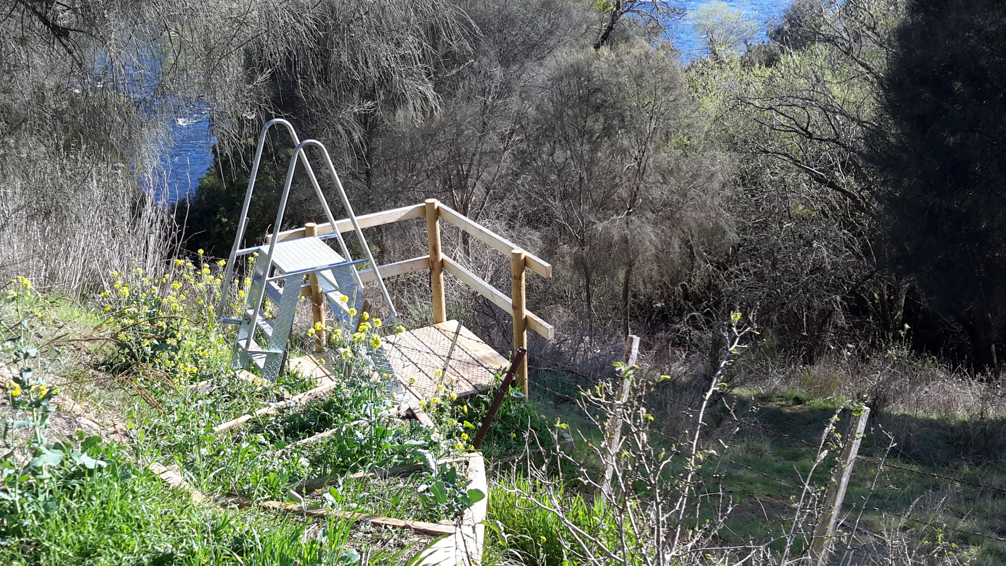
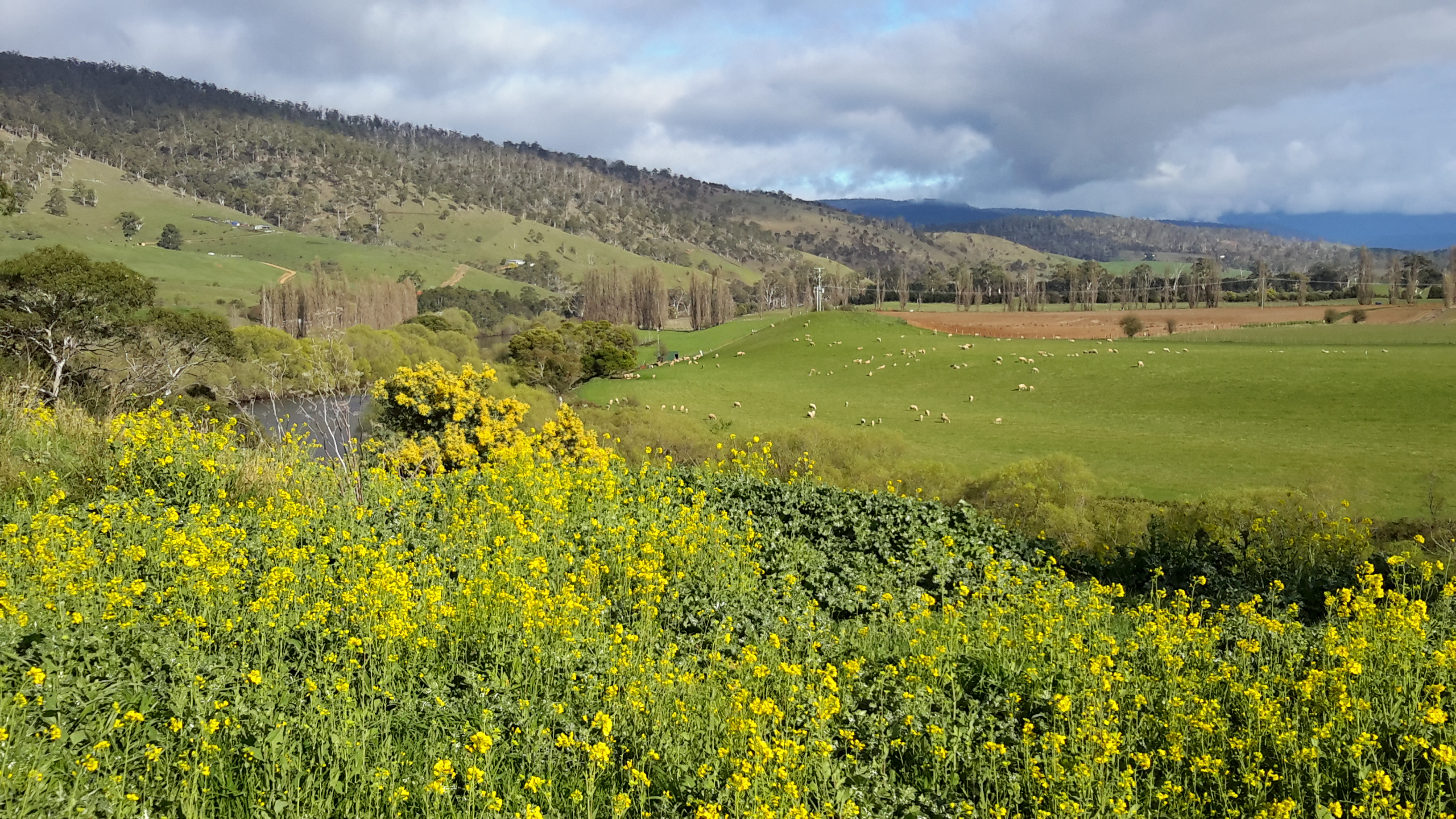
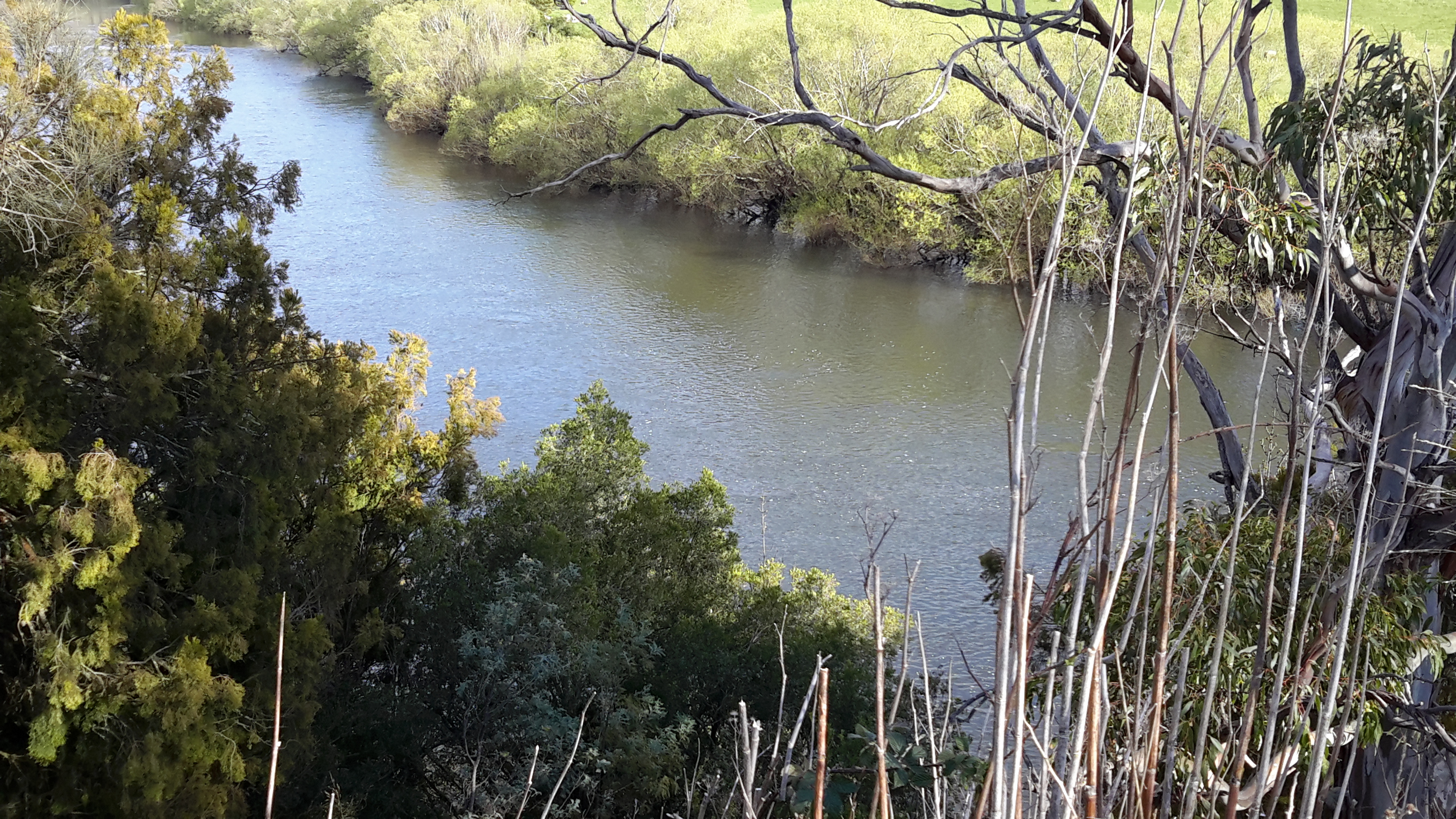
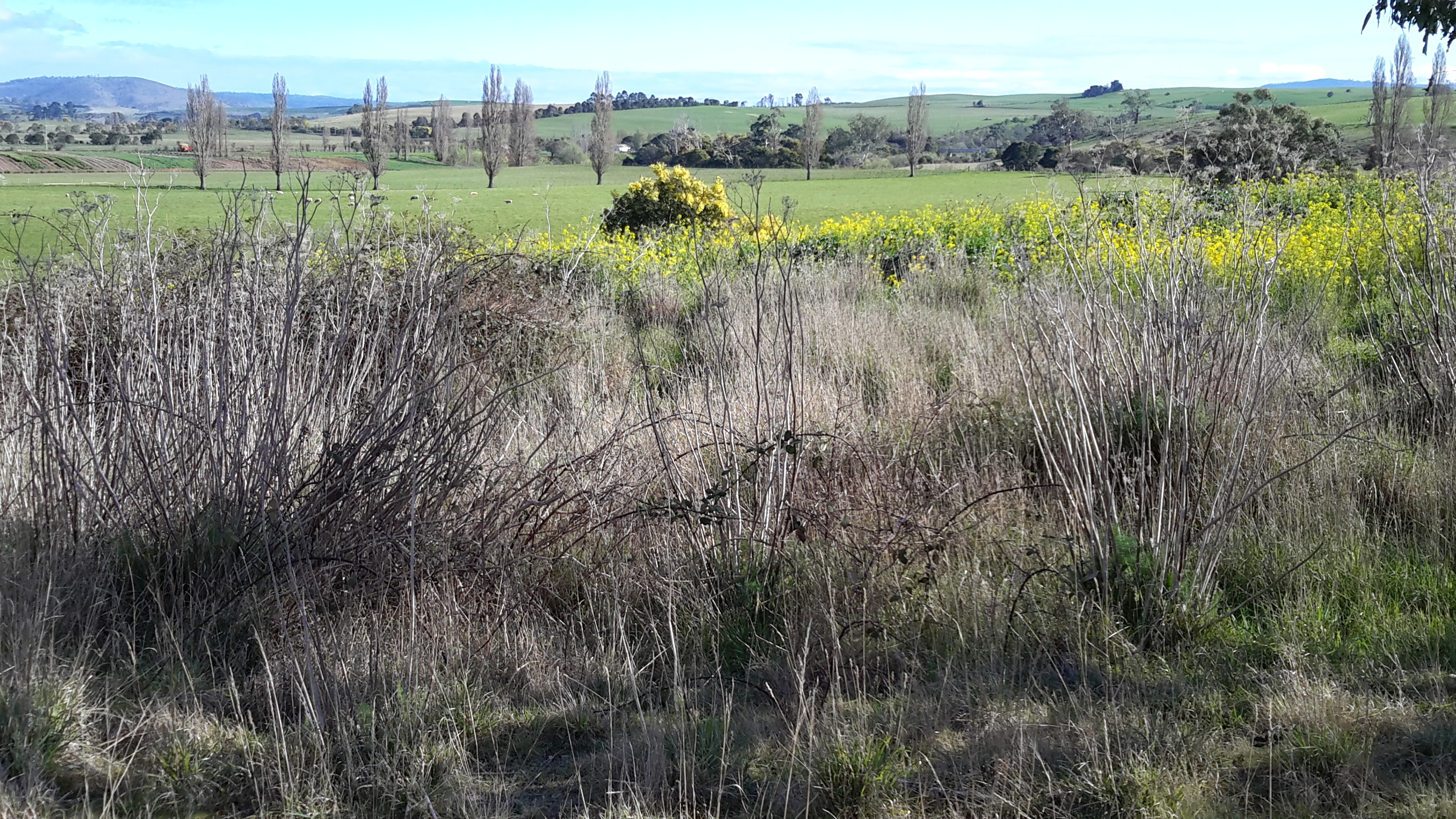
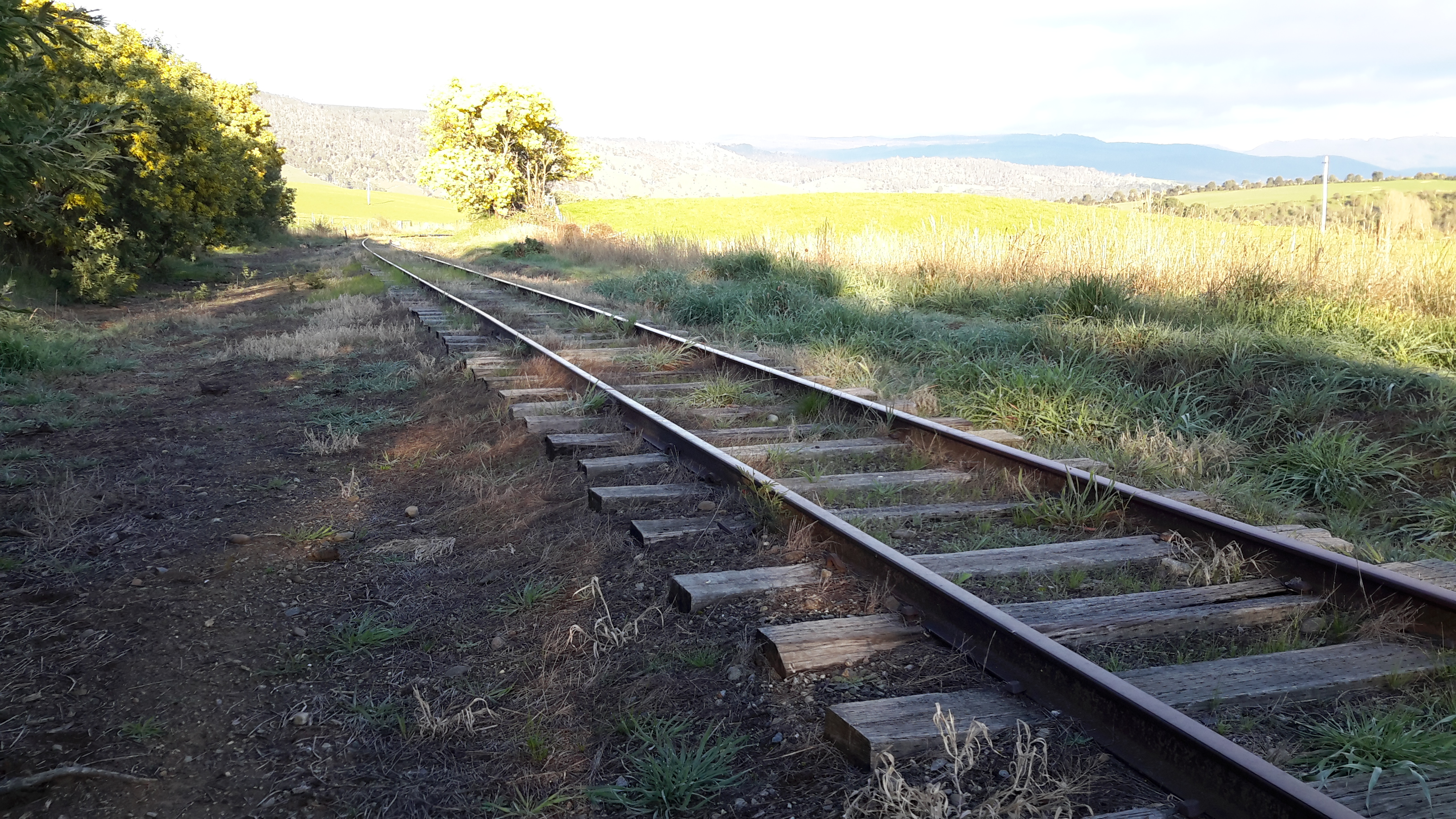
I have compiled a list of those locations where I believe, with a vehicle, it will be possible to ‘touch’ the Derwent River occasionally along its length between Gretna and Lake St Clair.  Please let me know if any section listed below takes your fancy and if you would be interested to try it out.

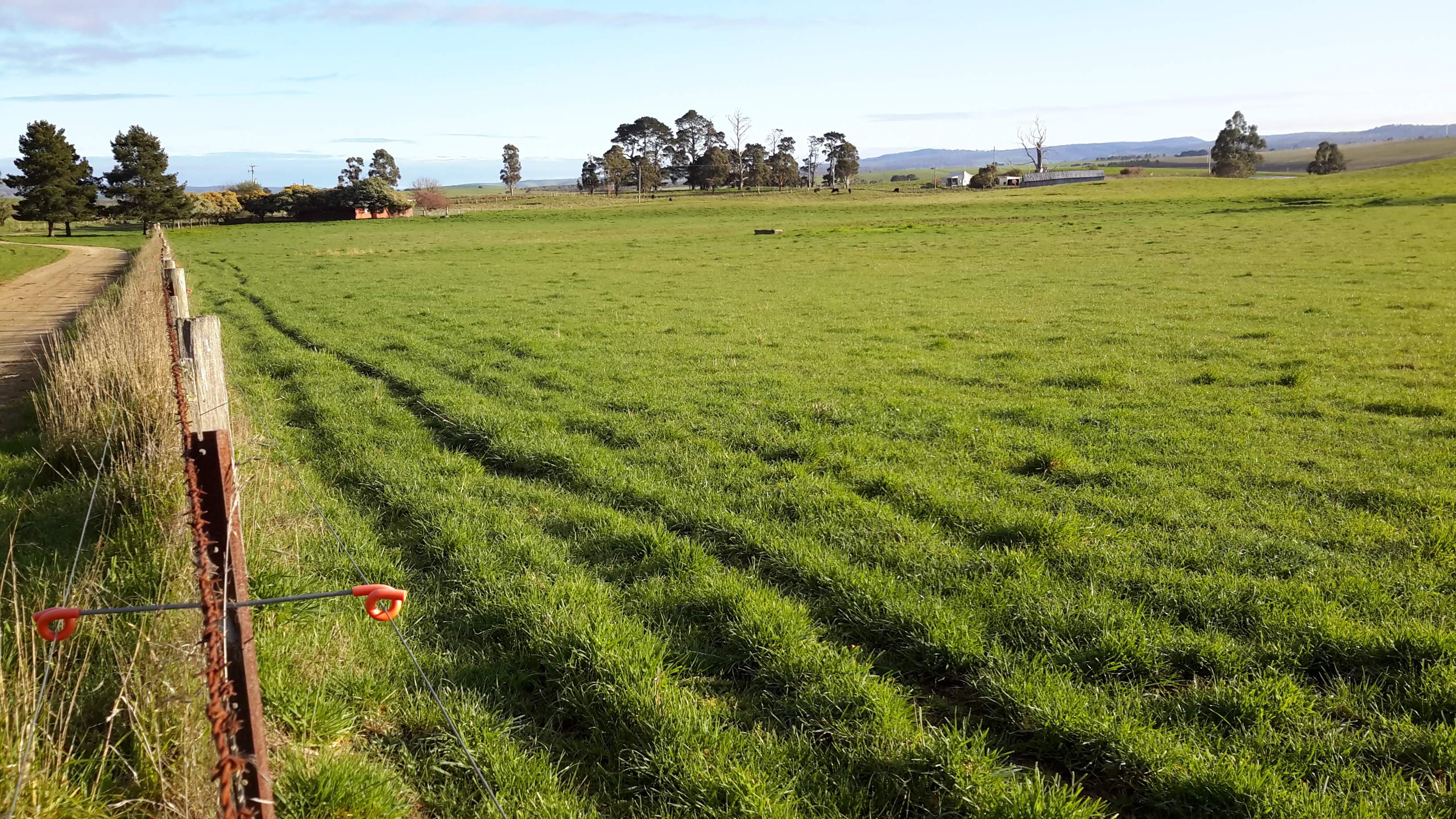
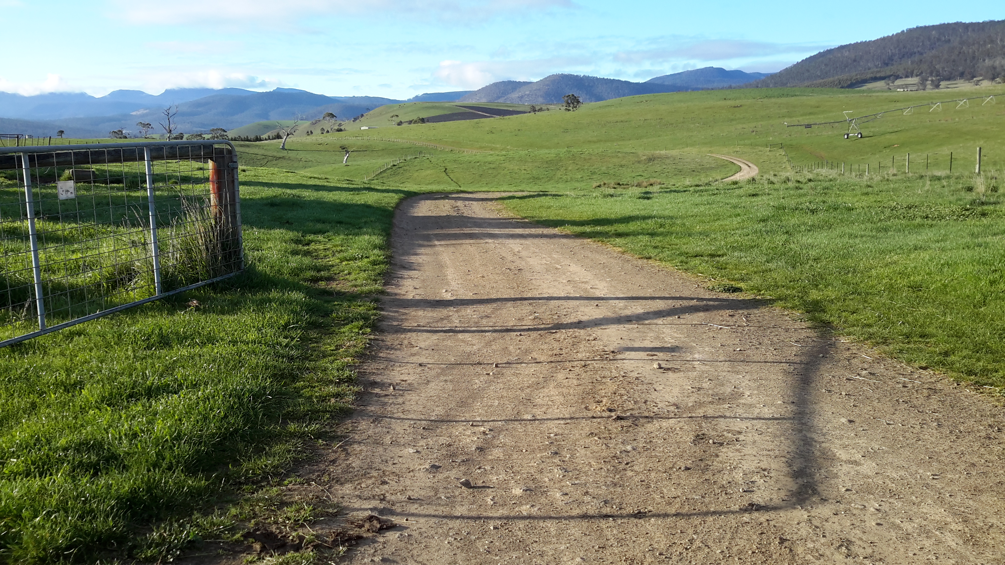
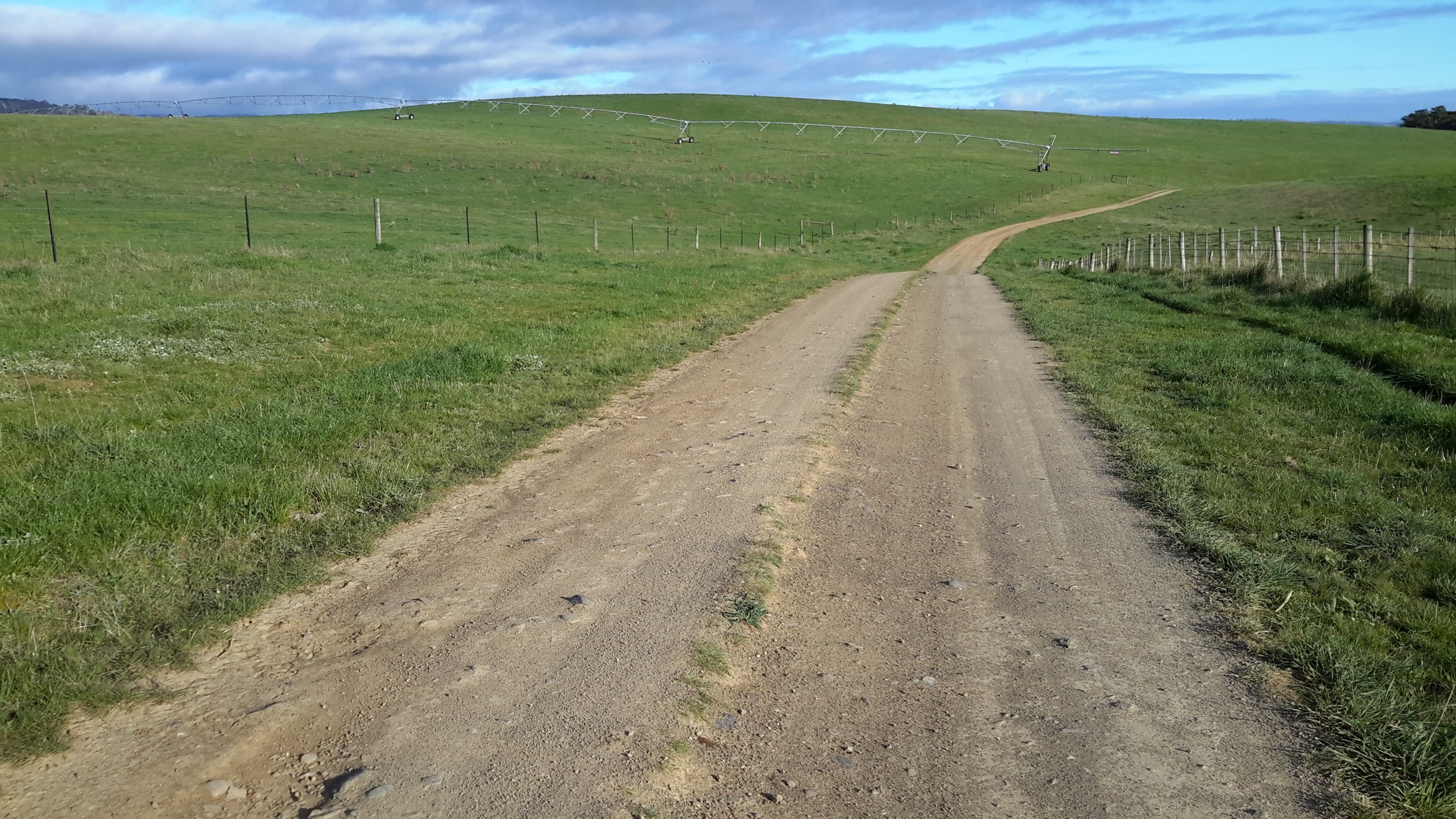
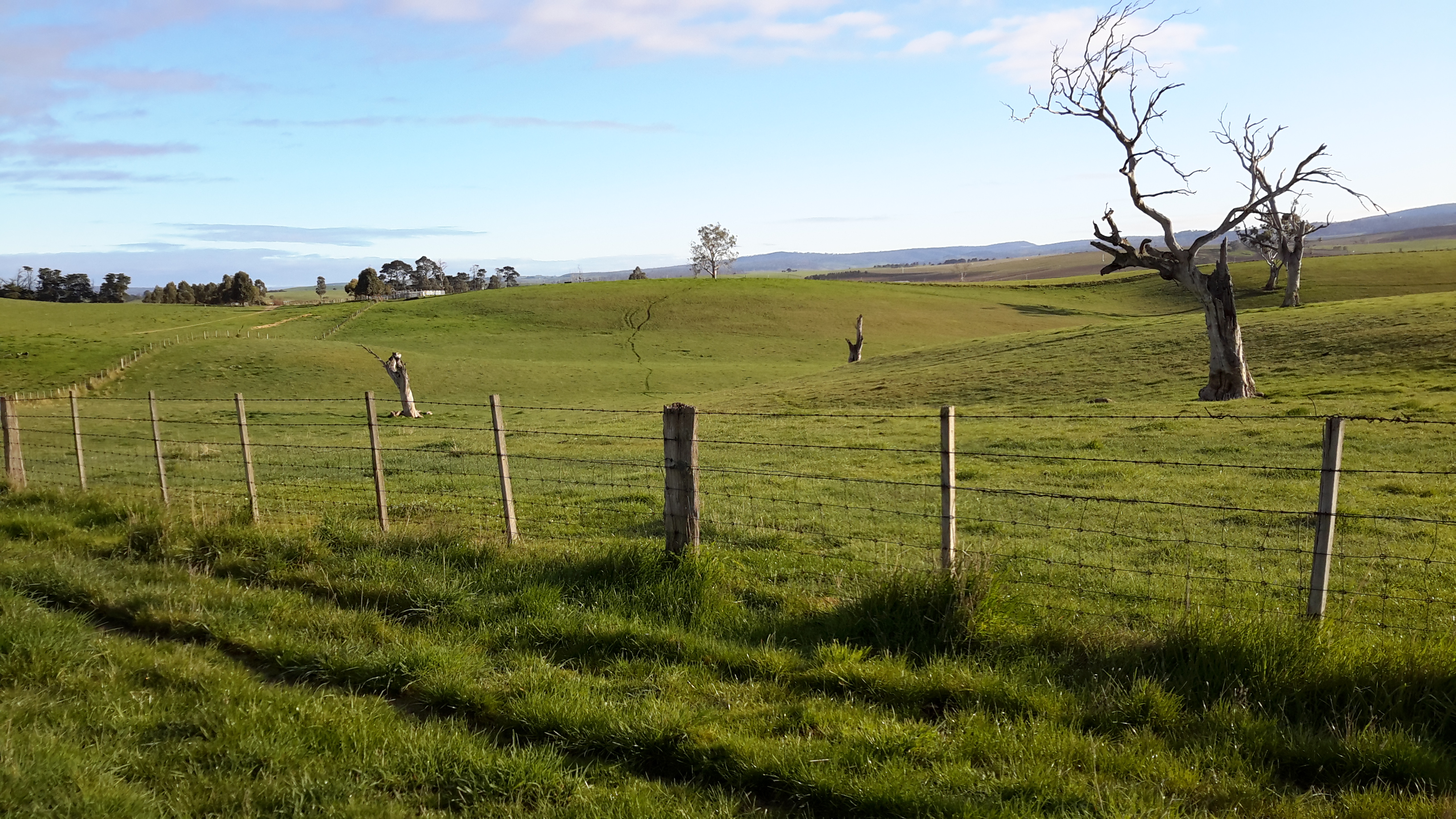
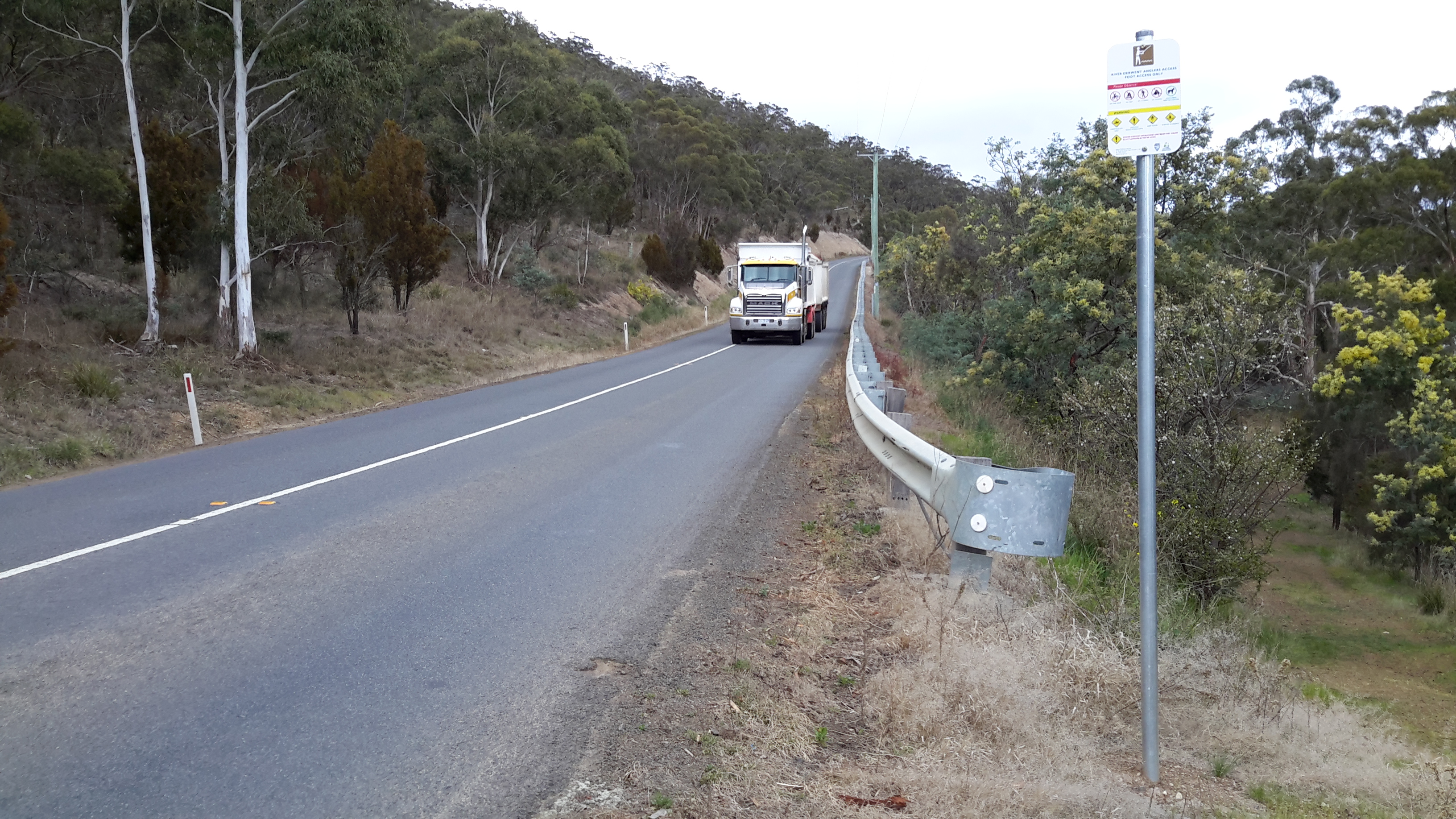
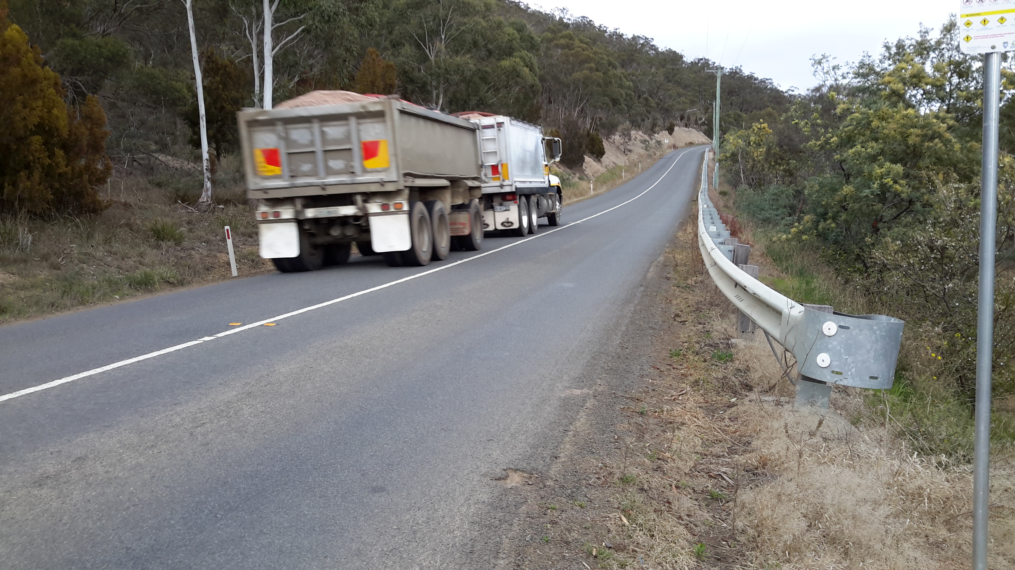
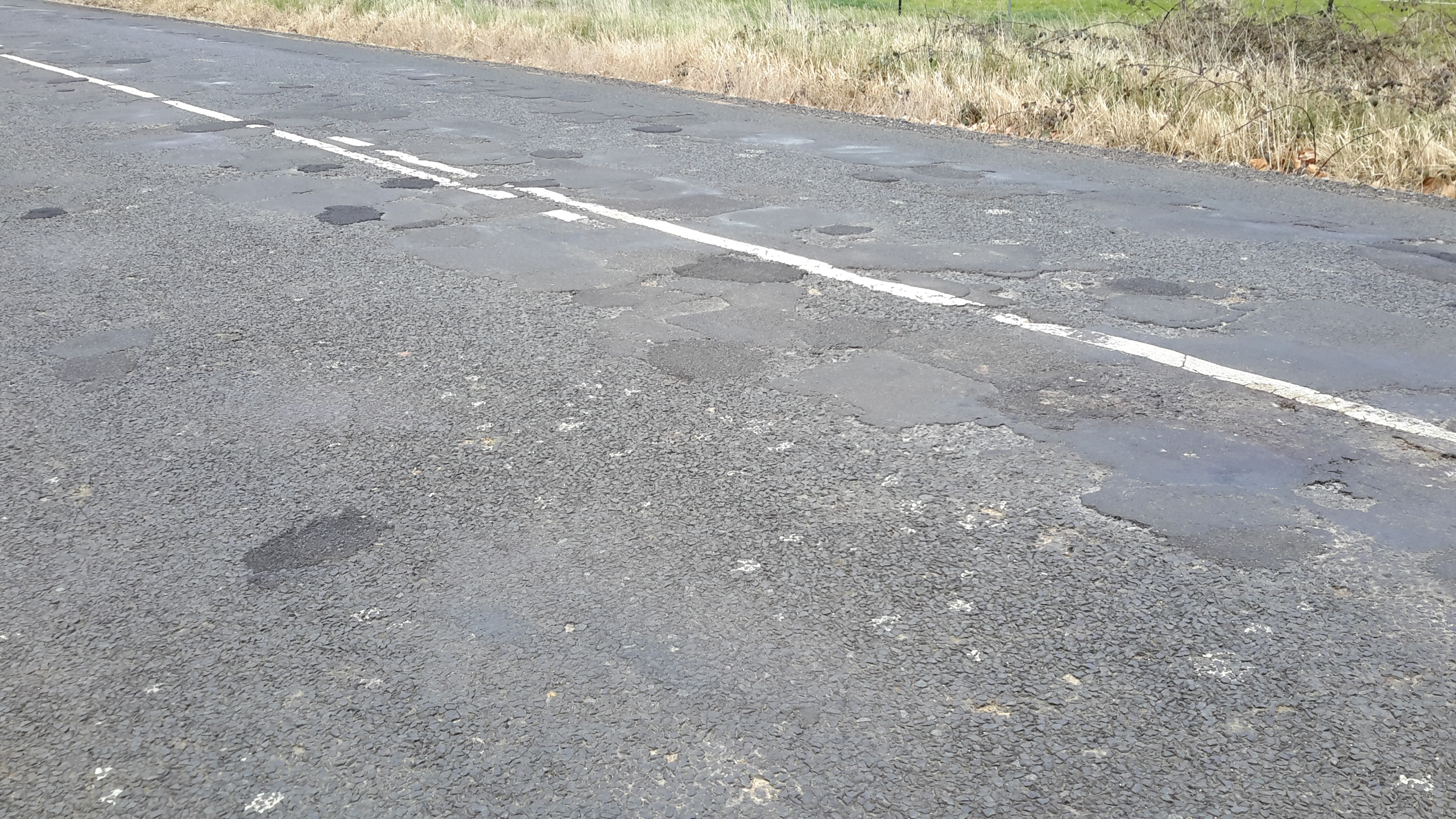
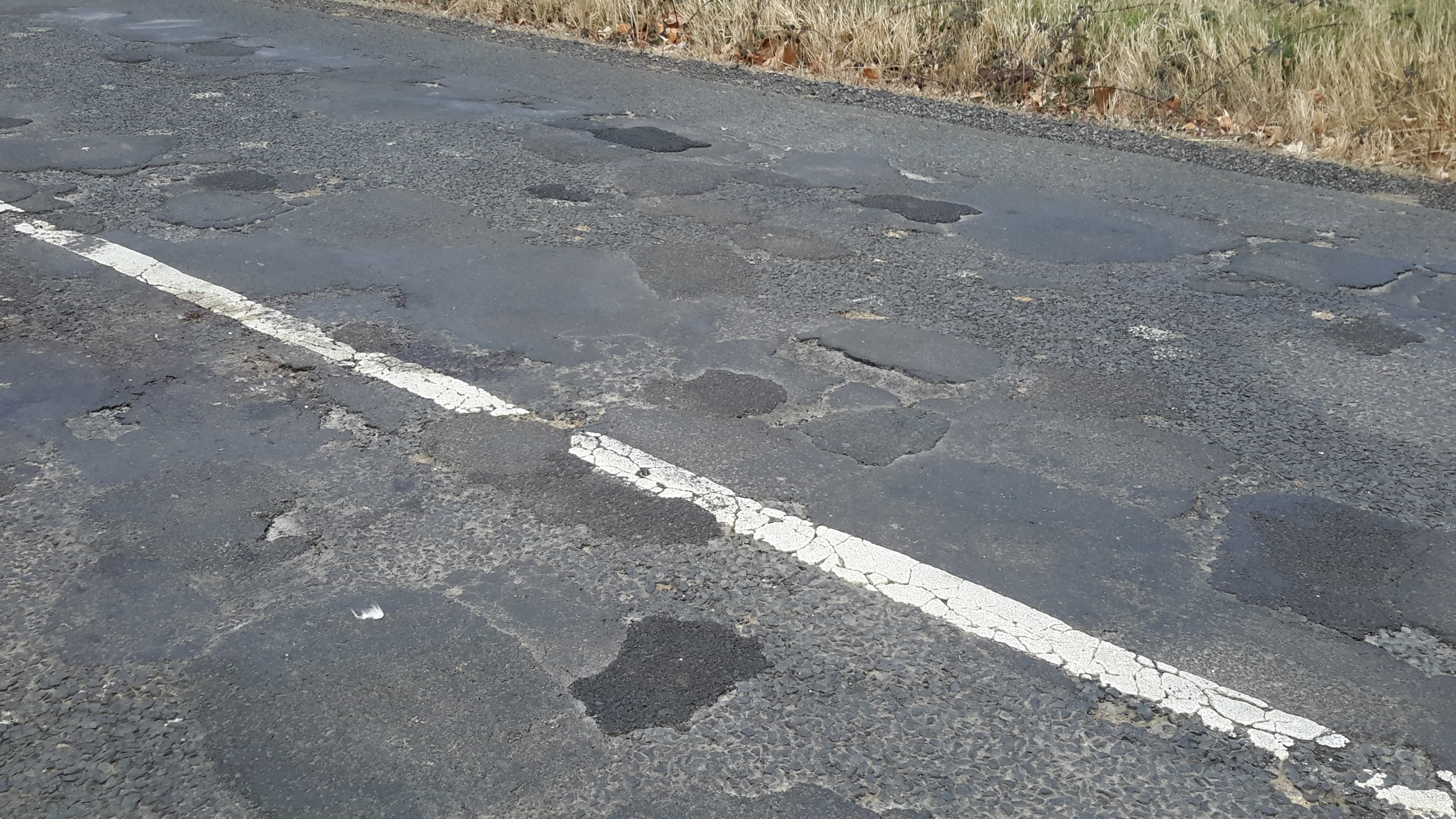
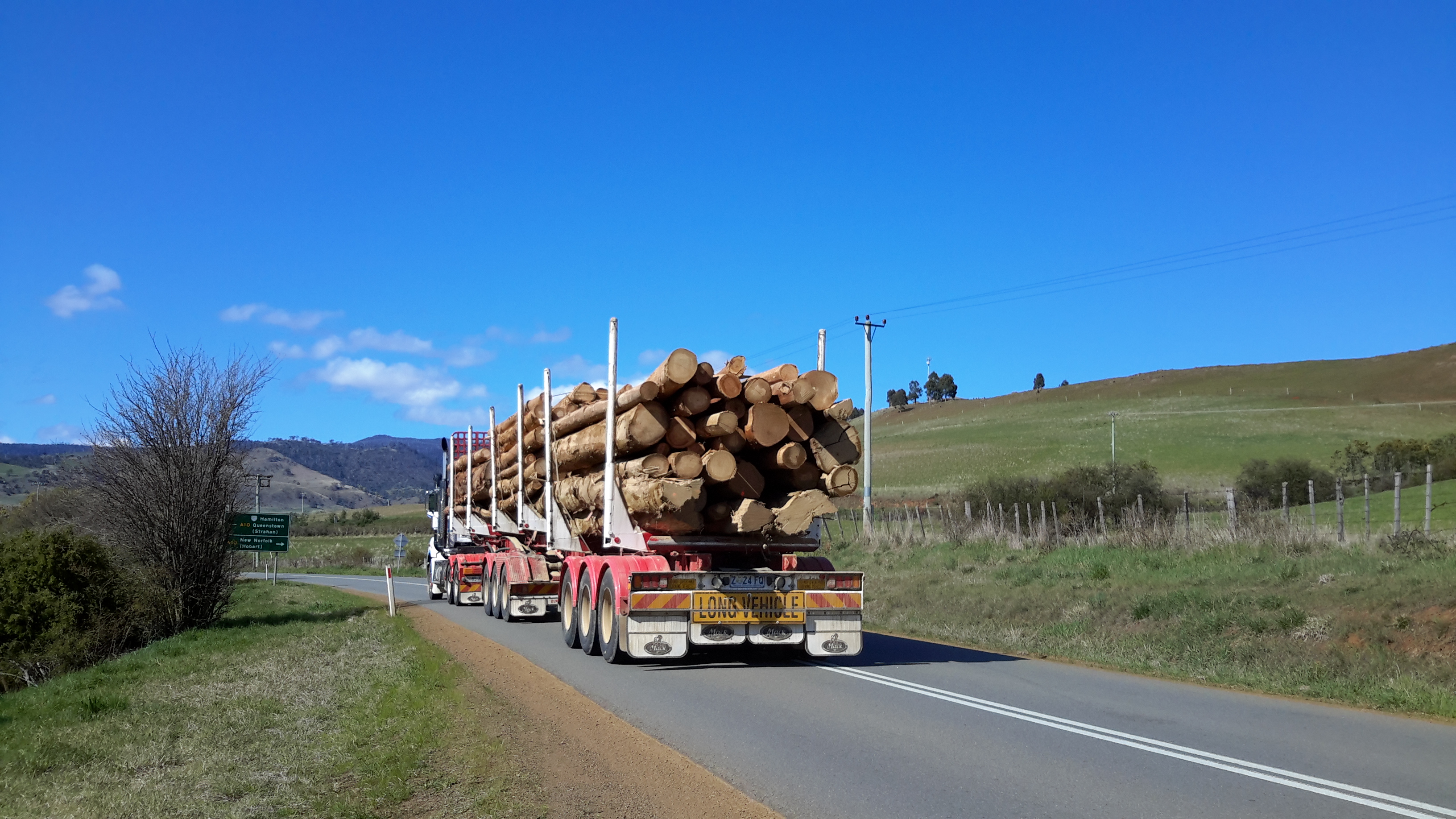
Almost all sections include driving on bitumen highway, gravel roads and poor tracks. Some of these may be forestry roads.  If you wish to volunteer to take me to one of these sections (let me know on walkingthederwent@gmail.com), please feel comfortable that your car can handle the different conditions.  Of course, common sense will prevail and we will never push on if a road is too rough for your vehicle and your peace of mind.

If you are happy to help me reach my goal, albeit differently than originally expected, I would like to fill up your tank with petrol as some compensation.  You know my ‘walking the Derwent’ is a non-commercial project, but since I do not own a car nor drive, I need transport – and therefore, I am happy to cover the cost.

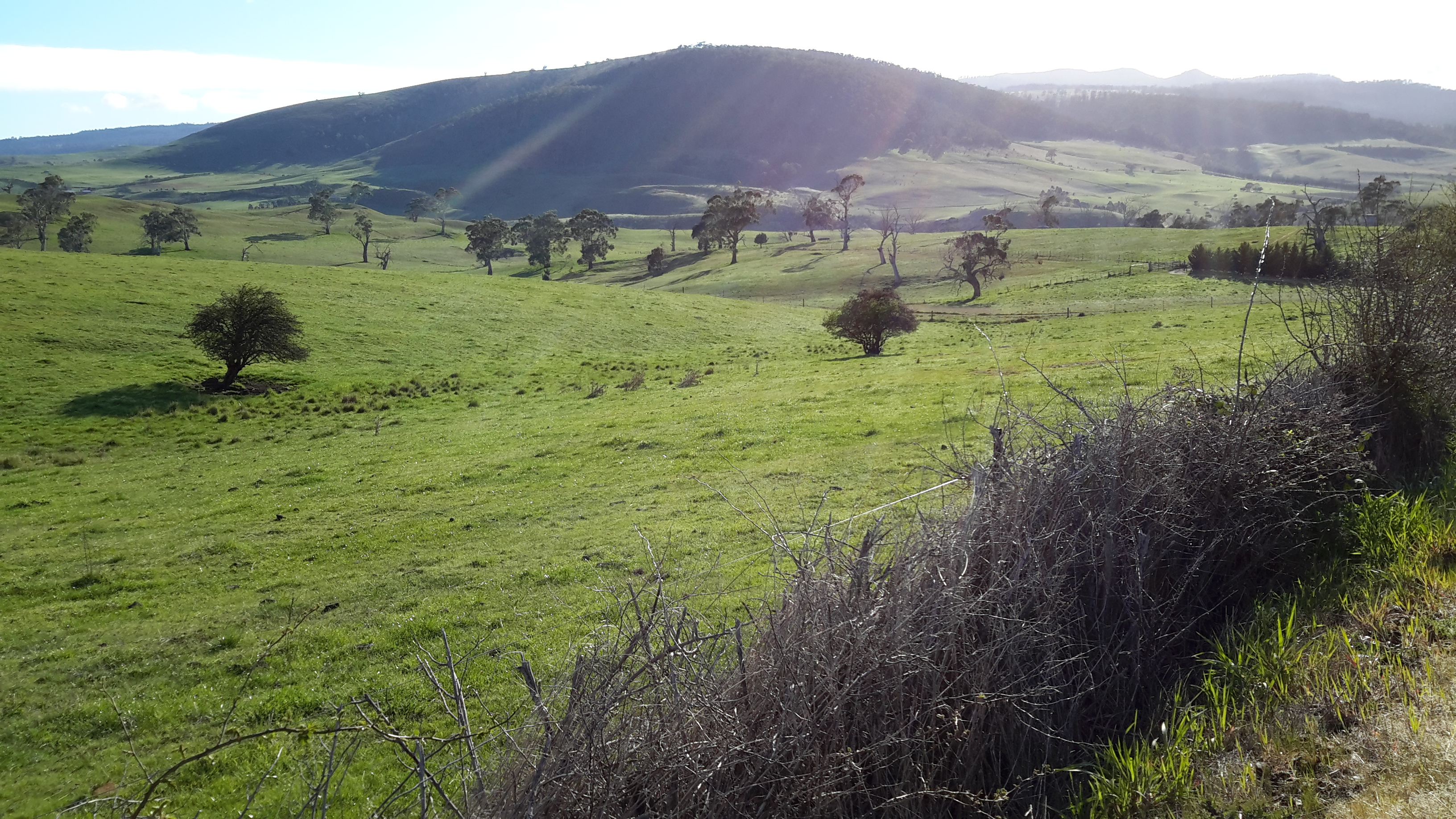
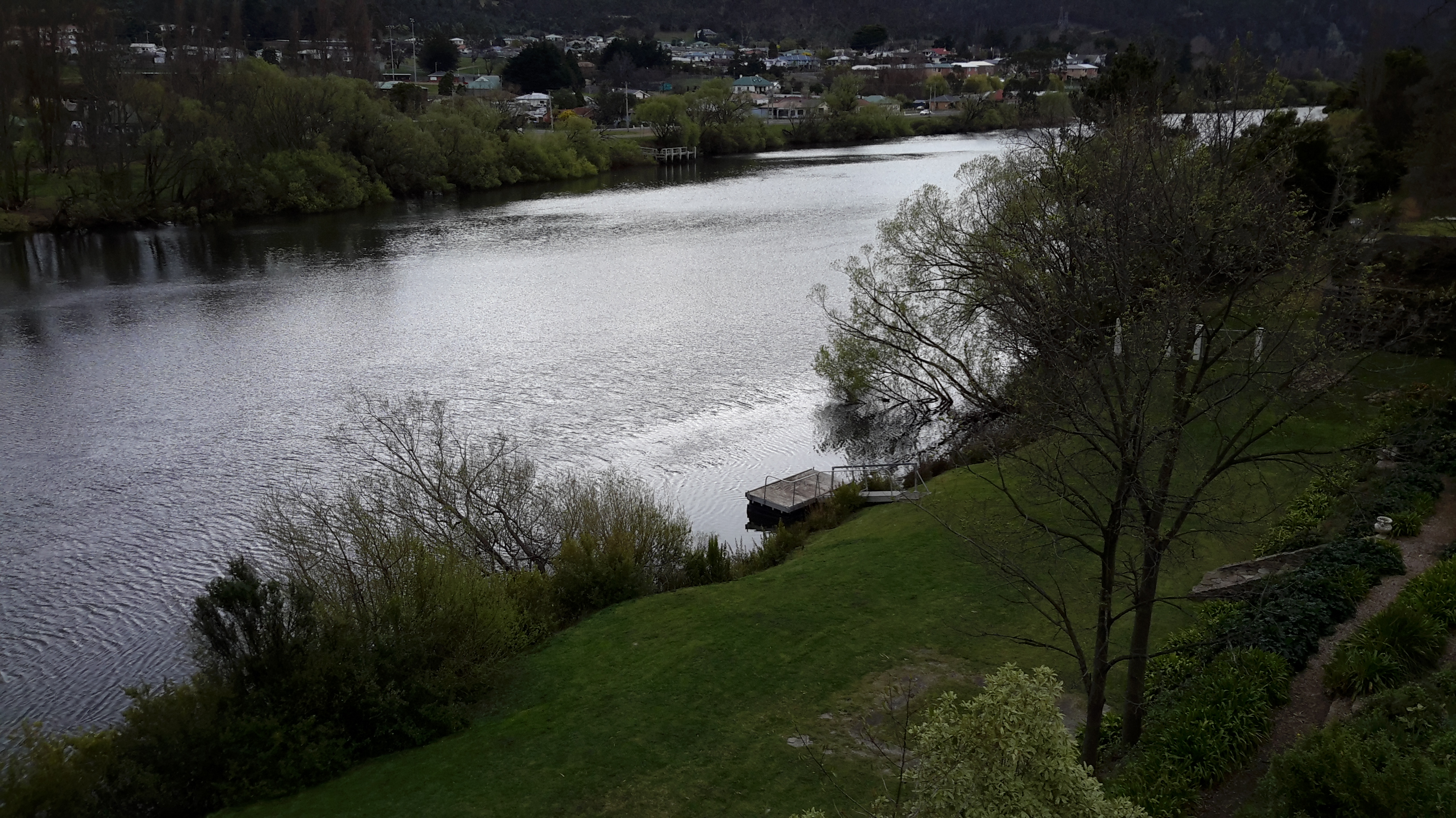
  1. On eastern shore – From New Norfolk drive along the Lyell Highway and then, not far past Gretna’s Sports ground, take a left turn into Clarendon Road and drive to farmstead buildings about 250 metres from the river on a hill. Perhaps 140km return trip.
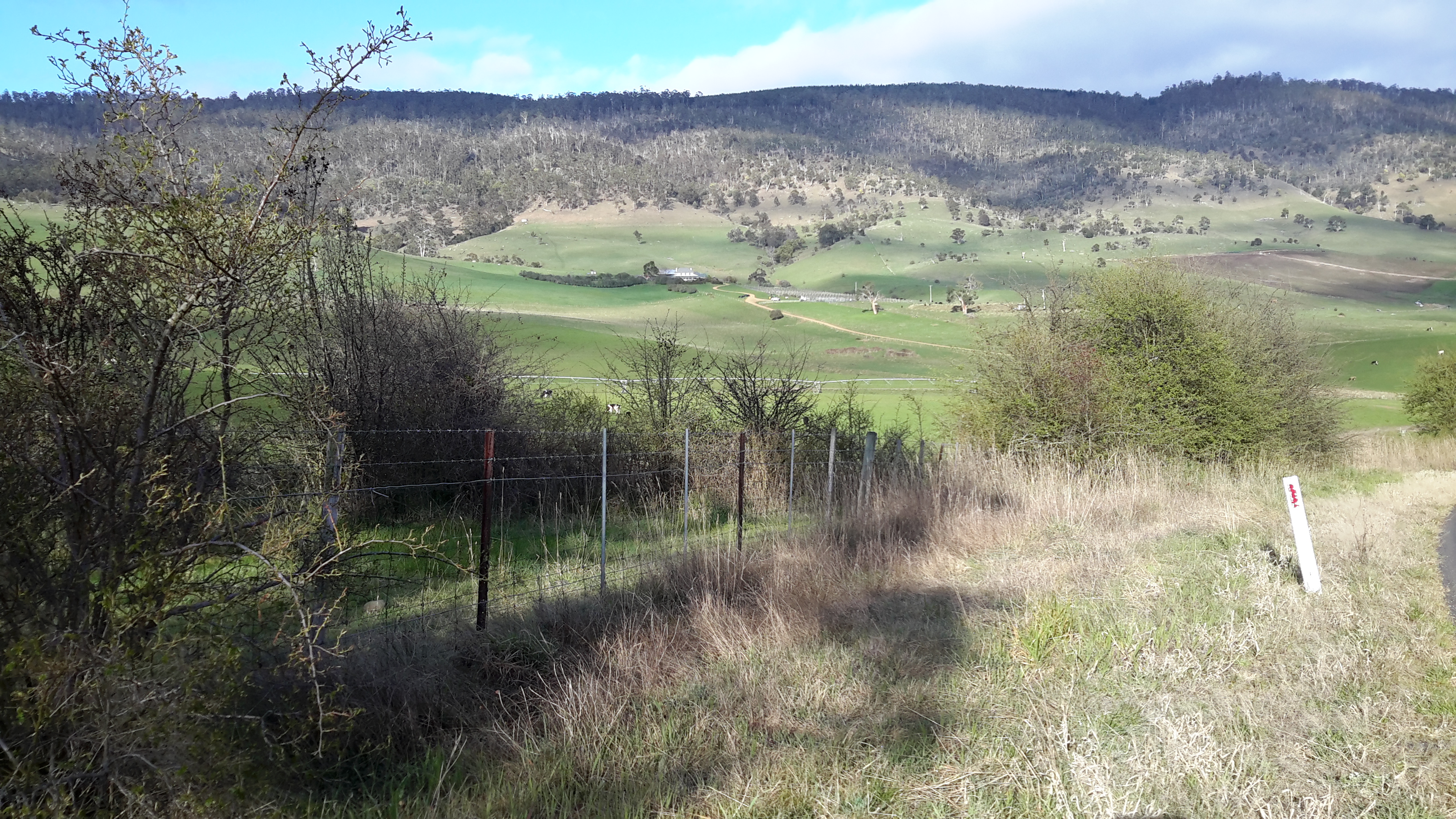
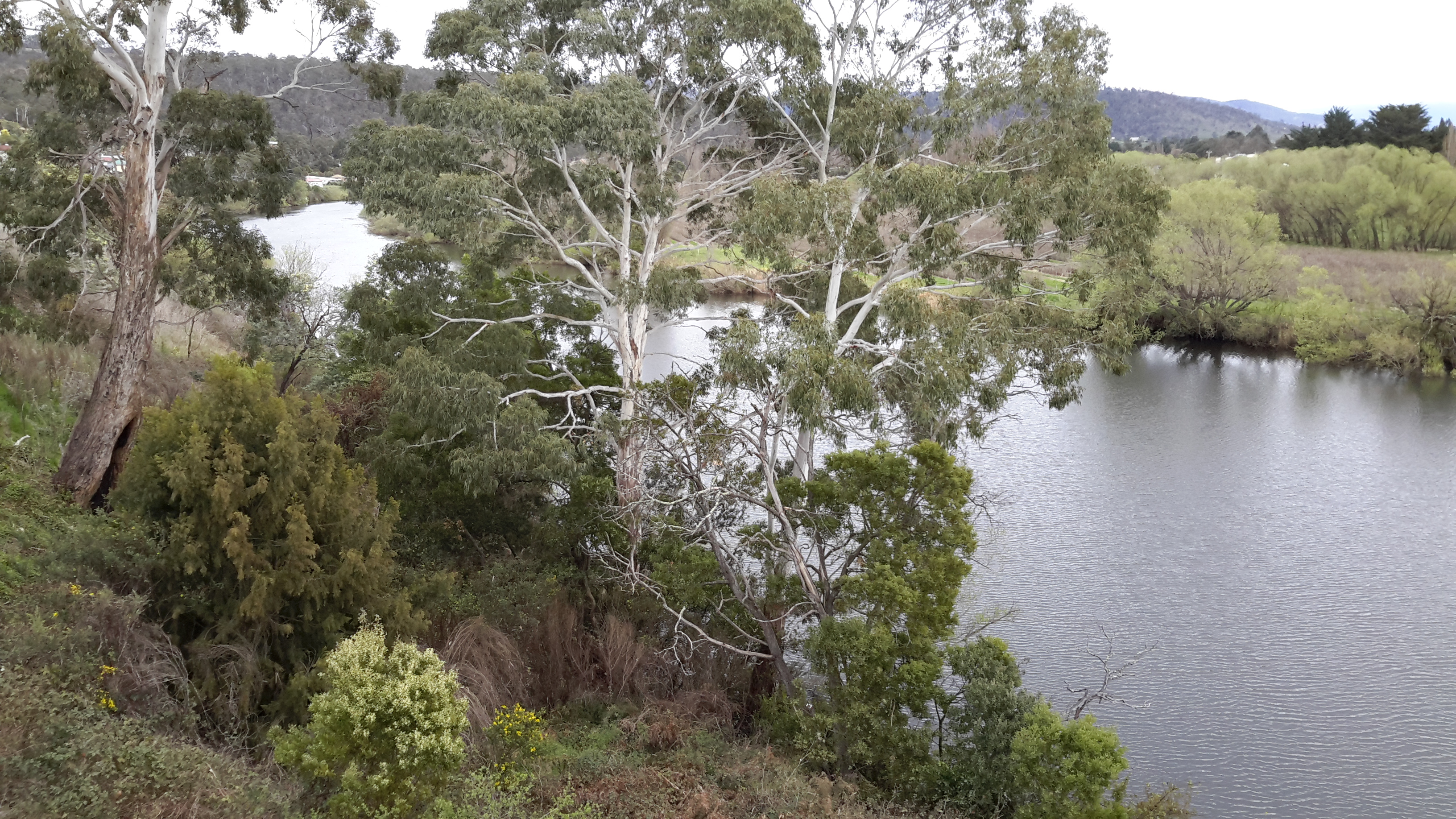
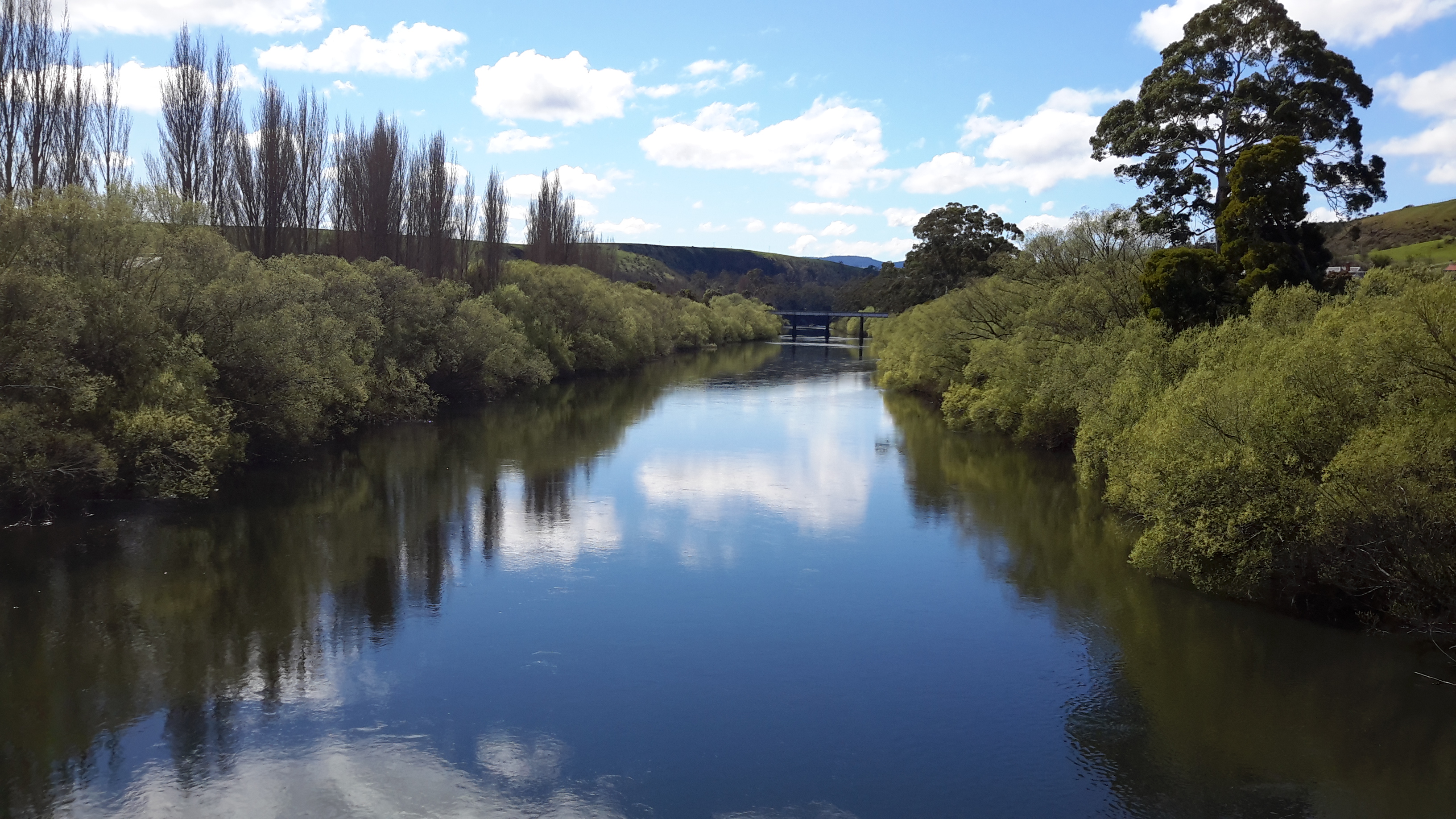
  2. On western shore – From New Norfolk drive along Glenora Road, and turn left at Bushy Park then right onto Meadowbank Road over the Tyenna River then next to Derwent, then on over Meadowbank Creek to a hill top with buildings. It may be possible to continue quite a way on this road. Minimum 130 and maybe up to 160kms return trip
  3. On eastern shore – From New Norfolk drive along the Lyell Highway and turn left off the Highway onto Meadowbank Dam Road. Continue to dam and southern end of Meadowbank Lake. At least 170 kms for round trip.
  4. On western shore – Travel from New Norfolk and turn left into Gordon River Road at Bushy Park, then turn right off Gordon River Rd into Ellendale Rd and then right onto Rockmount Road before you reach the township of Ellendale. There seem to be many dirt forestry tracks to Meadowbank Lake. At least 170kms return trip and maybe 200kms return or more depending on roads.
  5. On western shore – Travel from New Norfolk and turn left into Gordon River Road at Bushy Park, then turn right off Gordon River Rd into Ellendale Rd and drive on through the township of Ellendale until you reach Dawson Rd / Dunrobin bridge over Meadowbank Lake. Turn left before bridge and it seems we can drive 2kms further up along the Lake edge. Return to Ellendale Road, cross bridge and connect with the Lyell Highway. At least 170kms return trip and maybe 200kms return or more depending on roads.
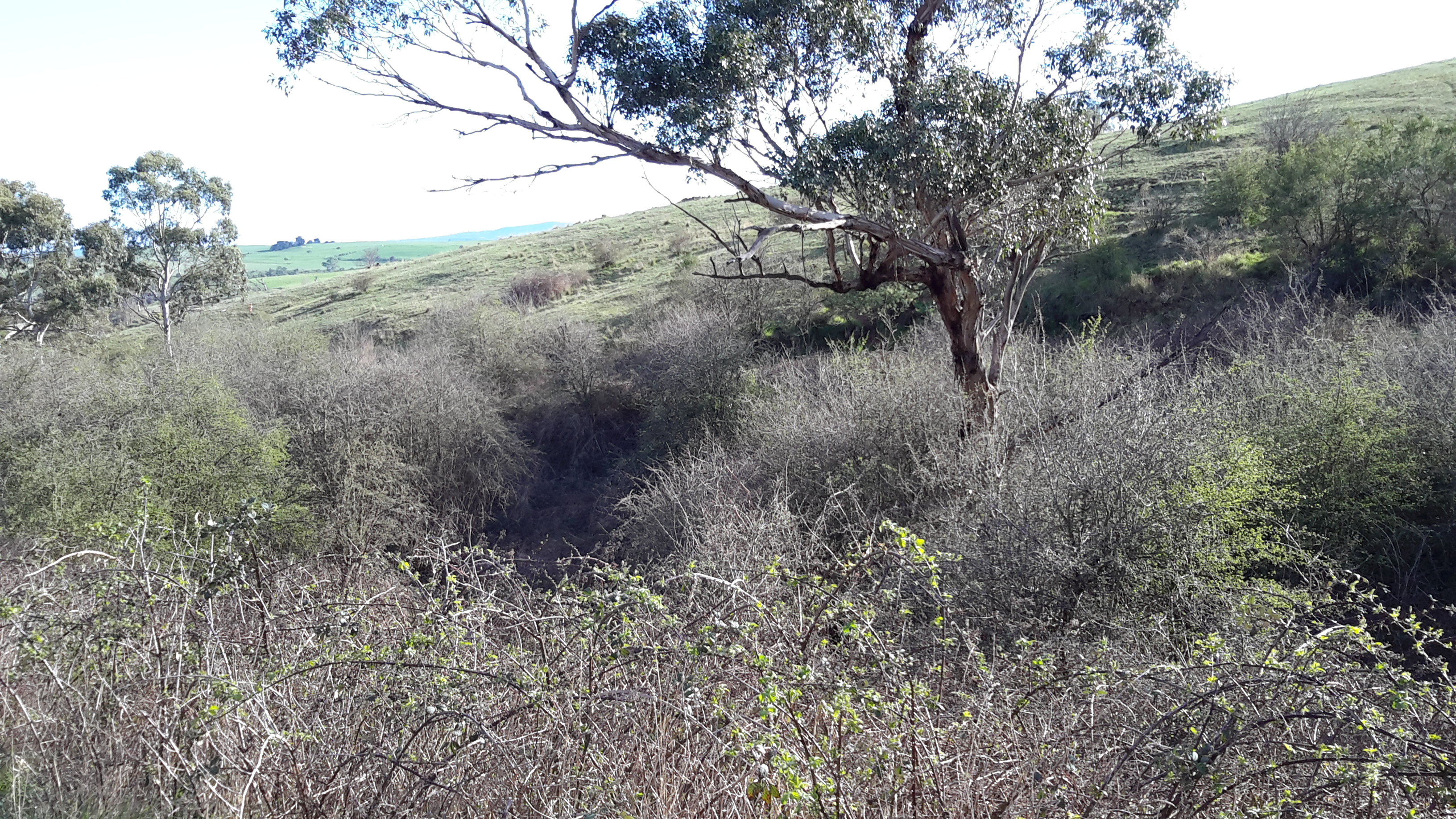
  6. On eastern shore – From New Norfolk drive up Lyell Highway and continue past the left turn off to Dunrobin bridge and afterwards and to the left there are a number of dirt tracks seemingly without gates. After a while these tracks/roads only extend to the Ouse River and not the Derwent River so map consultation is crucial. At least 180kms return and maybe over 200kms return depending on how many side roads/tracks can be driven along.
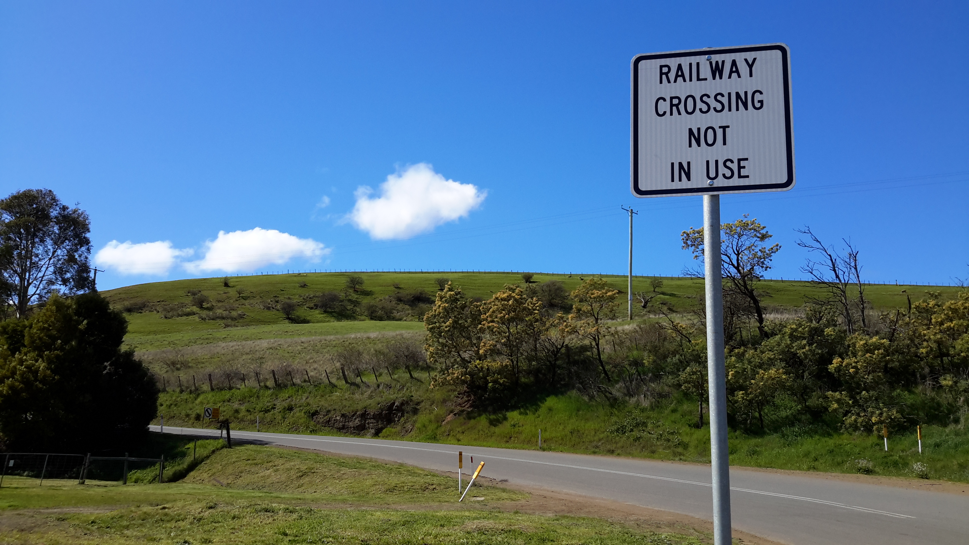
  7. On eastern shore – Drive up Lyell Highway past Ouse then turn left at Lake Repulse Road. Continue to intersection with Cluny Lagoon Road and turn left and go to Cluny Dam. Return to intersection and continue on Lake Repulse Road to the Repulse Dam. Can cross a bridge and continue back south around Cluny Lagoon to a ‘settlement’ named Cluny.  Perhaps could access this road from the Ellendale Rd on the western shore? By driving north from Repulse Dam along Dawson Road/then renamed Thunderbolt Road it seems we can take right hand detours to Lake Repulse. Over 200kms maybe 250kms or more minimum round trip.
  8. On eastern shore – Drive up Lyell Highway past Ouse, over the Dee River until the sign appears for a left turn at Catagunya Road. Drive down to Catagunya Dam. 200kms minimum return trip
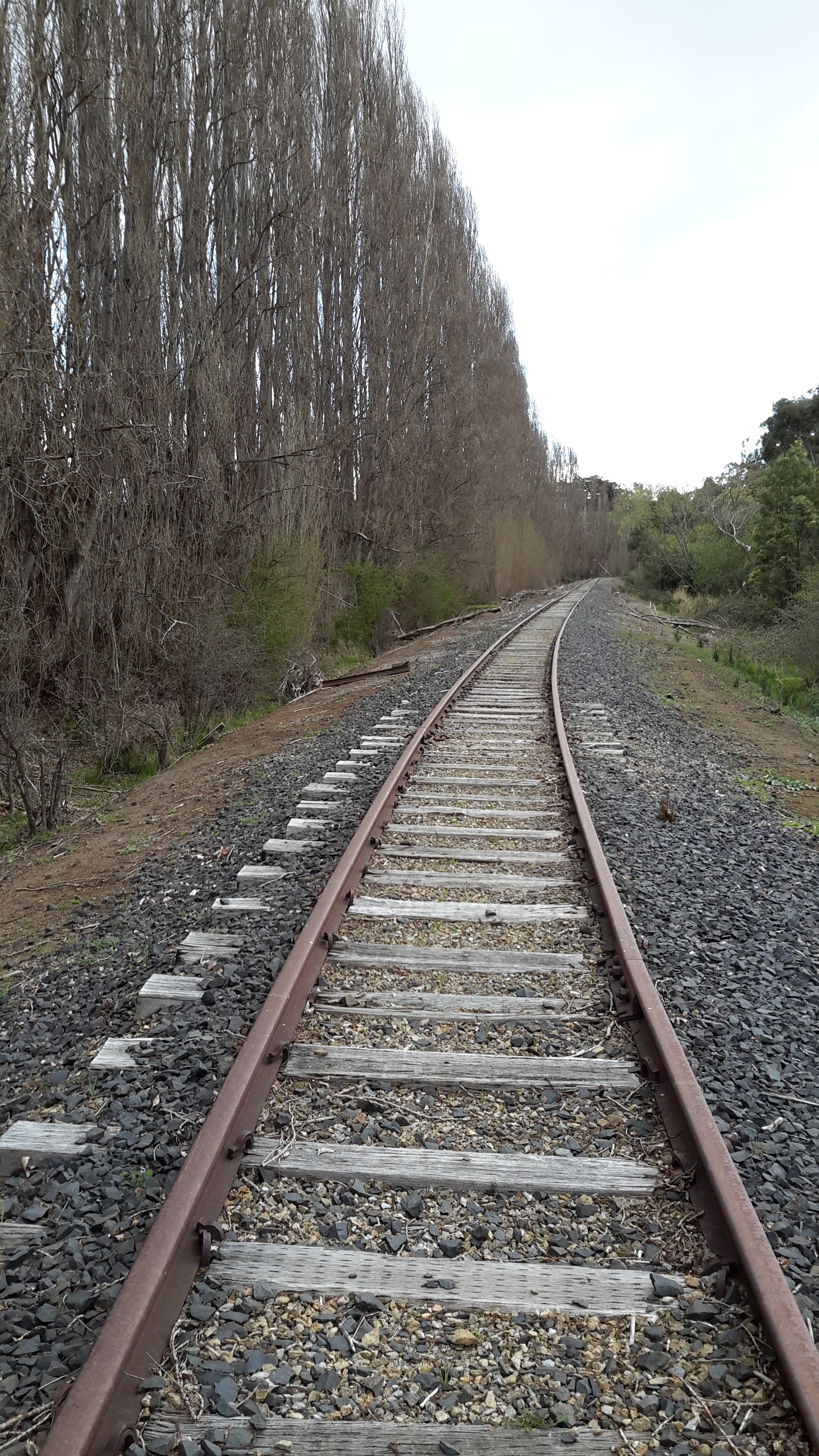
  9. On eastern shore – Drive up Lyell Highway past Ouse, over the Dee River, past Black Bobs and turn left at Long Spur Road. This runs around Wayatinah Lagoon. Go past the intersection to Wayatinah Dam, turn left and travel to Wayatinah Power Station on Lake Catagunya. Return to intersection and turn left and travel to Wayatinah Dam. Cross bridge and continue on to Wayatinah township. Access dirt tracks in the vicinity of all. Drive south from the Wayatinah Dam on the western shore along the Florentine Road but don’t bother crossing the Florentine River because the road goes inland away from the river. Minimum of 230kms but most likely  at least 300kms round trip.
  10. On eastern shore – Drive up Lyell Highway and when you reach a canal passing under the road, and where the road turns right to go to Tarraleah, go straight ahead on Butlers Gorge Road. Note there are limited roads off and around going closer to the river near that intersection. Continue along Butlers Gorge Road for 10-15 kms heading for Lake King William. Reach Clark Dam and Power Station. Continue onto Switchback Track along side of Lake King William. This track stops and you have to return the same way – swamp separates you from the track north about 500 metres away. This would be a big day and I suggest take overnight accommodation at Tarraleah before setting out. PERHAPS it is possible to walk across the swamp and then walk about 7 kms to Derwent Bridge. Unknown over 300 kms return trip.
  11. On eastern shore – Drive up Lyell Highway to Derwent Bridge and continue past to left hand turn off on the western side of Lake King William and drive the track to the lake. 360 kms return trip minimum.
  12. On eastern shore – Drive up Lyell Highway to Derwent Bridge. Walk from the bridge over the Derwent River near the township of Derwent Bridge to St Clair Dam at the bottom of Lake St Clair Lagoon where the Derwent River starts. Walk to Pump House Point and St Clair Weir at the southern end of the Derwent Basin. 350kms return trip minimum.


Bushy Park’s Sports Oval

Bushy Park’s sports arena was a typical rural affair; a large expanse of featureless green, a toilet block, a tiny visitor building (‘geez mate it’s starting to rain let’s go and stand under the verandah’), a track, and not much more.  No football goal sticks in sight.

20150918_113424

Barbed wire fences prevented me entering this area and therefore I could not walk to and then walk by the river. I continued along the road, and turned right at the T-junction. A left turn would have taken me away from the Derwent River to Glenora, Mount Field National Park and further afield to Strathgordon and Lake Gordon.  By turning right I was on the way to the day’s destination of Gretna.

20150918_113856

The local hops growing association seems to own the Bushy Park sports oval and offers ‘day use’ only from this entrance point on the road to Gretna.

20150918_114143 20150918_114147

Looking back along the road:

20150918_114000

Looking forward along the road:

20150918_114035

This glorious afternoon was improved by the sensational golden blossoms of this wattle tree:

20150918_113757

Watch out! Cows crossing

After Rayners Corner, I walked back along Glenora Road because I could not access the property separating me from the Derwent River. The tall dry teasels made a barrier on the left of the road.

20150918_103217

When I registered the sound of a motor cycle and a quad bike on the hill, I watched two farmers sweeping down as they herded cattle towards the fence next to the road.

20150918_103300

Within moments the bike was on the road ready to halt traffic.

20150918_103408

And then the cows were out.  Their job was simply to walk from one paddock to another across the road.

20150918_103447

But along the road barrelled a speeding car which skittered the cattle so they began to run towards Bushy Park.  The car stopped short. The farmers glared. I stood still knowing if I kept walking in that direction the cows would be spooked further.

20150918_103510

Eventually the cattle found their paddock.

20150918_103621 20150918_103847

I continued walking along. Then I turned and talked with Mrs farmer while Mr farmer locked gates.  When he joined the conversation he assured me that while the cattle had a mind of their own, sheep were the particular challenge he particularly did not like when it was time to take them over a busy road.  His sheep could never be trusted to know they should not run off.

Unpredictable water levels

20150918_102136

This sign is located near Rayners Corner beside Glenora Road on route to Bushy Park.

Years ago a friend and I drove up along the Lyell Highway, and then took a track down to the river somewhere between New Norfolk and Gretna.

We walked across a gravel bed to a rocky scrubby clump edging the water.  For a couple of hours we sat on the river side with our feet swinging above the glossy glassy black racing water of the Derwent River, lulled by the sun. I remember the clear reflections of the dense vegetation on the other side of the river. It was a joy to see fish rising to grab an insect that had been flitting near the water surface. Clouds began to pile up in the distance and around that time I looked down and realised the water was nearly touching my feet. The river’s water level was rising. We clambered back to the other side of this outcrop and discovered, to our horror, a swirling and dramatic pour of water separated us from the river bank. In recent blog postings I have mentioned the speed with which the Derwent River travels towards the sea. That day was my first experience of its dangerous fast moving flows.

The river was rising as we watched. We were stranded on an island and we didn’t know how much water had been released upstream. This meant we didn’t know whether the island would become submerged. Within seconds we knew we had to try our luck and get back to land.

Quickly we cast our eyes around for a couple of suitable branches that could act as walking sticks, as balancing poles, so we could cross the raging torrent.  Each of us started the crossing with a balancing stick. I remember stepping into that cold water and finding how uneven the ground was. It was not a simple gravel bed rather I was trying to walk on irregular sized rocks that rolled when I was pushed onto them by the force of the water. I remember that it was important to tread slowly and to lean my body at an angle towards upstream to counteract the pressure to send me downstream.

When I started the crossing the water level was at the top of my thighs. The distance wasn’t far but the water reached around my waist and splashed higher as I approached the safety of the river bank.  Once out of the water, we felt exhilarated.  But we both knew the danger we had been in.  And similar signs to the one in the photograph above were not around.  Situations like this remind me of the powerful importance of local knowledge.

Near the edge of the Derwent River again

Having farewelled the walking cyclist, I spotted a style built giving anglers access over a fence and at the same time I appreciated a grand curve in the Derwent River down below.

20150918_083251

The views of the river, the paddocks and the sheep were magnificent.

20150918_083343  20150918_083351

20150918_083434 20150918_083811

As usual, continual direct access to the river was impossible.  This time, the very steep and slippery river banks were the greatest impediment.

20150918_083609 20150918_083815

I continued along Glenora Road until I was able to follow a vehicular track to the water.  On the river edge, a large irrigation pump took pride of place. The water was clear. The sun sparkled across the surface. But access to the water was denied me because a steep slippery mudbank, which I did not believe I could climb back up if I slipped down, separated me from that elusive fluid.

20150918_084356

Heading westwards

20150918_080020 20150918_081336 

Back on Glenora Road, I loved the landscape in every direction. I am curious- have any city people slotted a green landscape view as background on their computers? When I open my computer and see green vistas it lifts my spirits particularly when I look out of my house window at bricks and mortar everywhere.

20150918_080350 20150918_080724 20150918_081256

Before long I was passing the expanses of Kinvarra Estate wines. My photos are quite tame compared to those taken by Alphaluma and presented on their website. His are sweeping and dramatic.

20150918_081851 20150918_081406  20150918_082213

A kilometre or so later I was surprised to see a lycra-clad man walking uphill around a corner and pushing his bicycle towards me.

20150918_082849

He looked exhausted and so I called out a friendly ‘hello’ and asked him where he had come from so early in the day.  ‘Bushy Park’, he replied.  Then he explained that for the past 12 days he had been on the comparatively new Tasmania Trail which extends from the north-west coast to the south-east margins of Tasmania. In addition, he offered that 13 days ago he hadn’t ridden a bike for years, had bought the new bike that day, then started out immediately. Now he was eager to get home and was headed for Hobart where he would finish his trek and family would pick him up.  This man, who looked like someone’s father, didn’t have the time or strength to continue to Dover much further south but I congratulated him on his achievement.  Whatever means of transport you take through central Tasmania, the challenges are great and he had overcome much to be close to his goal.  So I thought about my sore feet after only one day’s walking, and worked hard to dismiss any negative thoughts.

Leaving Ivanhoe’s cows behind

Day 2 and the vista looked splendid.  Despite my fingers seeming to freeze as I released the tent and repacked my backpack, the sun shone and the landscape sparkled after the evening’s shower of rain – any dust in the air was long gone.

20150918_071004 20150918_071016

I hadn’t been walking for long when I could see the next railway bridge down the line. This time the bridge was taking a long haul over the Derwent River.  Again, I wasn’t prepared to play with my life and try to cross it. Instead, I detoured after finding a gate with an easy slip fastener and walked up a soft vehicle track. I saw rich green paddocks everywhere.

20150918_072517 20150918_072743

Before long I had walked over the hilltop and could see a couple of houses.

20150918_073144 20150918_073655(0)

And then I was following a curving track across the property expecting eventually to return to Glenora Road.

20150918_073834

Not far along, I passed a gigantic pivot irrigation structure.

20150918_074550

The morning was truly marvellous.  The location was magnificent.

20150918_074554

I felt all the happier when a couple of the property owners drove past and waved cheerily. At the time I thought it strange they didn’t stop to talk which is something country people normally do (and, after all, I was on their private land), but when I reached the road I realised they had been having a laugh at my expense.  The gate was padlocked and unclimbable. One fence was electrified and the other barbed.  Fortunately, I was able to make my own way around this obstacle and get to the main road. It was then I could see I had been on the property named Ivanhoe.

20150918_075501

You can see my red gloves on top of the stone fence; by the time I was on the outside of Ivanhoe, I had warmed up and no longer needed them.

The Ivanhoe property is for sale if this interests you and you have over $3.6 million in loose change hanging around.

20150918_075949

Starting out last Thursday

Blog followers know I have waited almost impatiently for Spring weather to arrive; I had been so eager for my walk from New Norfolk to Gretna to be pleasantly memorable.  At home the early morning sun shone and Hobart sparkled.  At 8am the Derwent Valley Link bus departed from the city. I was the only passenger until well into the Northern Suburbs when school kids jumped on and took over – as kids do.  By the time the driver dropped me at New Norfolk central the sky was grey and a stiff cold wind blew. The day seemed as dull as the car park (note the bus shelter in the centre).

20150917_090036

Determined not to be distracted by the weather, I headed off towards the bridge over the Derwent River, past the historic Bush Inn.

20150917_090300

I was ready to follow signs.

20150917_090312 20150917_090405 20150917_090656

I needed to follow the road which led to the Salmon Ponds (although I expected to bypass this location during my walk), however I deviated to the right so I could stare at the Derwent River from the bridge.  At first I looked down onto the mown lawn where I finished Stage 14 of the walk.

20150917_090850

Then I swung around to look at the river from the inland/western side.

20150917_090914 20150917_090928

After retracing my steps I was ready to embark on the next adventure. After turning into Glenora Road (designated as B62) on the southern/western side of the Derwent River, I proceeded past St Brigids Catholic School.

20150917_091204

Between the few suburban houses I caught glimpses of the river and then, within minutes, I was leaving New Norfolk.

20150917_092751

For many kilometres, my view of the river was rationed. Occasionally I spotted the beautiful river through an inaccessible profusion of weeds. Mentally I stripped away the vegetation and loved the changing surfaces of the river and the speed with which it flowed.

20150917_093031 20150917_094036

Everywhere I looked was lushly green or silvery blue. I was thankful that the overcast sky allowed the colours to reverberate and seem so much richer.

Lots of R&R on Stage 15

There was no rest although perhaps everything I did was recreation. The R&R’s I had in mind were quite different.

I had little choice but to walk on Roads and Railway lines for the majority of my experience from New Norfolk to Gretna. You can deduce from my previous posting this wasn’t where I wanted to walk.  I had hoped for soft ground directly next to the Derwent River as much as possible.

Roads

Over the first kilometres west of New Norfolk, the bitumen minor road towards the townships of Plenty and Bushy Park was narrow, and the road verges were tiny or non-existent.

20150917_093049 20150917_093104

To my right, initially house blocks got in the way of my ability to access the river directly. Before long it was metal guard rails, steep drop offs, and weedy tangles which provided a permanent separation. I walked patiently along the road edges changing sides every few minutes to try and get the safest side where I was least likely to be side-swiped by speeding vehicles. Natural gutters with stagnant green slime, or dry mini gulches below the road edges required me to be careful not to tip over when stepping off the road. Apart from not being knocked down by traffic, keeping my balance and not twisting an ankle were paramount concerns. Up and down, across and back.  These were the rhythms for many kilometres.

20150917_094301

In that early period I thought of owners walking their dogs; dogs off a lead. You know – the dog runs ahead then runs back to you then runs off and runs back etc etc.  In the end your dog has ‘walked’ two or three times as far as you. Similarly, as I stepped into and climbed out of gutters, the distance I covered seemed to double or triple.

At some points along the road, the guard rail was only a foot / 30 or so centimetres from the road making it very dangerous to be walking such sections. To protect myself, when a stream of cars was approaching I stood with my back to the rail and backpack hanging over towards the river, and held myself tightly against the rail so that the whoosh of cars or their side mirrors wouldn’t catch me.  It was on one such section that a couple of cars approached and the front one slowed (with the second doing his best not to ram accidentally into the front car, and crash into me at the same time) and stopped in front of me.  The old fellow rolled down the window and asked if I needed a lift. I pointed out he was going in the direction I had walked from and that I was happy to continue in the other direction on foot. Thanks but no thanks.  As I moved on, he drove off.

Later a couple of people stopped and offered me a lift. I think all offers were genuine. But I accepted none. I stood out on the road as an oddball. People just don’t seem to walk much anymore; certainly not on highways and byways.  And road planners show no expectation of pedestrians in their designs.

Some of the road surfaces were rather special. I rather liked the green lichens gradually growing across the black bitumen; I guess there is simply insufficient traffic numbers to wear it down, in this part of the world.

20150917_104540 20150917_104533

The special patchwork quilt of a road shown above made me wonder whether this bit was at the extremities of two local government areas. I suspected that both Councils might be thinking that repairing this road was the responsibility of the other.

Occasionally I had the bliss of walking on smooth green soft grasses away from potential close contact with traffic.

20150917_140331

On other occasions the green was deceptive with uneven ground hidden beneath, sometimes containing rabbit scratched holes.

20150918_080020 20150918_123816

Road bridges over rivers provided me with the greatest stress mostly because each was unavoidable and I needed to cross over them. Narrow with only two-lanes and without a pedestrian pathway, these were usually preceded or followed by sharp enough corners so drivers were onto the bridge before they could see what else was on the bridge.

Plenty River bridge

20150917_140323

Styx River bridge

20150918_114313

Towards the Derwent River bridge

20150918_121005

I gave the bridge over the Derwent between Bushy Park and Gretna a lot of thought, including considering whether to hitch a ride across it, before taking a deep breath and walking across. The bridge was long with a sweeping corner at one end. It had only one lane with signs at each end that indicated to drivers they should not enter the bridge if another vehicle was travelling across. I was aware that massive multiple-trailer log trucks were regularly on the road, as were other heavy and large transports, and of course locals who whizzed their way everywhere at high speed.

20150918_133413

I wondered how much drivers could be trusted to follow the directions and to slow down. I waited until there was no sound of oncoming traffic from the two distances, and then I hastened across.  But the view distracted me; it was so wonderful looking up and down the river that I felt compelled to take a photo in both directions. I clicked quickly as a large 4wheel drive flashed onto the bridge. I held myself back against the rail as he sped past glowering all the way.

20150918_121215 20150918_121218

Railways

First and last I walked on main roads but in between I often had no alternative but to walk on the variously rotting sleepers of an unused railway line.  I couldn’t create a walking rhythm: the sleepers were irregularly spaced and irregularly sized and the spaces between each were filled with rocks, gravel, dirt or grass and weeds. Sometimes there was no fill.

20150917_154454

In this region, the railway line runs on the northern/eastern shore and then, about two thirds of the way from New Norfolk west to the district of Plenty, it makes a diagonal line crossing the Derwent River.  I met the railway on the southern/western side and was able to walk under the old sandstone supports on the river bank before proceeding westwards by following the river closely.

20150917_115135 20150917_115338 20150917_115354 20150917_115459

Later I reached the railway bridge over the Plenty River, where a quick reconnaissance indicated some sleepers were missing and others looked suspiciously like they might disintegrate under weight. My weight.

20150917_135821

For 30 seconds I thought about whether to cross the bridge. I decided that walking on the metal rail track could be safe enough for those experienced with walking on gymnastic balance equipment, but not for those carrying a backpack, nor those easily thrown by sporadic wind gusts. Instead I detoured onto Glenora Road crossed the road bridge and then made my way off the road and back to the railway line.  Thick impenetrable vegetation prevented me from walking closer to the river so I stayed on the railway line for many kilometres, with an occasional foray closer to the river. However, mostly I found it impossible to proceed and returned to walk on the railway line.

This railway line walk should be a stunning place in autumn especially where rows of well-established poplar trees marked the edges. I know the leaves of poplars turn gloriously yellow after summer.

20150917_141506

Towards the end of day one of Stage 15, an impending rainstorm seen at the end of one stretch of line prompted me to look for a suitable campsite.

20150917_160047

A while later I pitched my tent beside the line.

20150918_070950

Next morning the sun was shining, despite very low temperatures, and the glorious views lifted my spirits. I received a text from blog follower Ju that Rail Track Riders http://www.greatrailexperiencestasmania.com.au/event/rail-track-riders/?instance_id=485844 would be in motion along the line during the day. What I surprise for them it would have been to find my tent on the side of the line – but I was well gone before I suspect there was a movement at any station back up the track.

After Bushy Park and en route to Gretna I saw my first railway sign when the track crossed the road.

20150918_121809

Looking back, clearly no railway vehicles had travelled this way in a long time.

20150918_121827

Now cyclists and governments are discussing ways in which to turn this old railway track into a cycling corridor.  But no one is talking about edging closer to the Derwent River.

Thwarted by barriers

I am deeply dispirited. I have some sad news. My impulsive project to walk from the mouth to the source of the Derwent River will be thwarted by greed and other human characteristics of a negative nature. Despite this situation, I am working on a new plan to reach the source of the Derwent River at Lake St Clair Lagoon in a physical and meaningful way and, once I have fleshed out the details, a future post will offer an explanation.  Meanwhile, after you read the following, your suggestions will be most welcome.

During stages 1-14, from time to time I recorded how access to the actual river edge was sometimes denied me because properties were fenced and gated.  I bemoaned the fact that across Tasmania, in many instances the law provides that property owners own land and water to half way across rivers. While a ‘grace and favour access’ or by ‘a permission granted approval’ process exists in some places, much of our river edges cannot be walked freely.  Yet in so many European countries ‘right of way’ paths and walking trails across the land have been taken for granted for centuries so there is much more freedom to simply enjoy being outdoors.  Non-indigenous settlement is too recent in Tasmania so a criss-cross of ‘ancient’ walking paths has not been established, and the pathways of the inhabitants prior to settlement, the aborigines, either have been obliterated or knowledge of their location is not easily available to the non-indigenous population.

20150917_092218

Photo of the Derwent River taken through a house block on the western edge of the town of New Norfolk.

The damage is done and to repeal laws and ‘take away’ land from owners would be political suicide, and cries of unfairness and for expensive compensation would abound. I can imagine the legislation arose partly from consideration of the practicality as to who or which organisation would maintain the thousands of kilometres of river edges across Tasmania and keep them clear from bracken, blackberry brambles and exotic weeds.

20150918_092244 20150918_102532

Can you spot the River through these profusely growing weeds?

While walking for leisure purposes has a history in Tasmania since the beginning of European settlement, our early legislators did not have a crystal ball to see that the 21st century is one in which many people want a healthy lifestyle that involves exploring and accessing our natural environment without barriers.

Unfortunately, a damaging minority of people are greedy, thoughtless, and cannot be trusted to meet their promises.  The consequence is what I found during Stage 15 and what I can foresee for Stage 16.  I soon realised that almost no free/public access to the River exists between New Norfolk and Gretna, and it seems this will also be true for any future inland push along the River.

After leaving New Norfolk on the westward proceeding Glenora Road on the southern/western side of the Derwent River, I soon registered paddocks and more paddocks had been recently re-fenced with fresh spiky barbed-wire.

20150917_104811

Note second fence line inside and parallel to the barbed wire fence line.

This year, the Australian Federal Government budget made a concession for small business owners and granted an immediate full tax deduction for expenses up to $20,000.  My conclusion was that farmers in the Derwent Valley grabbed this opportunity and used it to protect the limits of their properties.

As a child my father showed me how to pass through barbed wire fences. The process is best with two people but one can do it. You put your shoed foot on a lower strand of wire to hold it down, then pull the next one up and slip through the enlarged space hoping not to be spiked by the barbs.  But today’s farmers in the Derwent Valley know this trick. Since they don’t want people on their land, the wires are now extremely taut and the spacing between many lines of wire is only about 10-15cm.  If an adult expects to pass through the barbed wire fences of Derwent Valley farmers then Dad’s technique cannot work.

Barbed wire fences were not my only barrier to accessing the Derwent River.  Gates presented insurmountable challenges.  Almost all gates that I arrived at were padlocked. That hasn’t always stopped people accessing a property because the use of strong square wires or other metals in gate construction usually helps you with a footing to lift up and over the top.  Not so with many Derwent Valley farmers’ gates.  The new gates either are ringed in barbed wire or are wrought iron with high straight verticals which provide no place for feet.  For me these were unclimbable.

20150918_075938

Very occasionally I came across older fencing that had minimal or no barbed wire and seemed very climbable. But alas. These fences had an additional strand attached; an electrified line. Intended to keep the cattle in and from trampling fence lines, these electric fences were an absolute barrier for walkers like me.

20150918_091409

In places, farmers had cleverly left overgrown tangles of thorny blackberry canes that extended down paddocks and into the river, as an impossible barrier near their fence lines.

20150918_082523

I came across signs such as ‘Private Property’ and on one occasion the sign warned that ‘Trespassers would be prosecuted’.

20150917_140110 20150918_090514

Even access was limited to the very open Sports Ground at Bushy Park, one which contains almost no infrastructure. This Sports Ground edges the Styx River as it flows into the Derwent River.

20150918_114143

The sign pictured below was particularly annoying because it was suggesting that permission might be given if a request was made. However, I couldn’t get access to ask for permission to walk across the land.  Once on the spot, there was no way to discover who the landowner was and then to somehow connect with them using technology.

20150917_114101

On a particularly wonderful luscious green hill that wound around the Derwent heading for Gretna, one where walking close to the river would have been a great pleasure, the sign ‘Trespassers will be shot’ was a strong deterrent.

20150918_125443

During my walk I had decided that perhaps anglers had not respected the limited access they were given to the River at key points, via styles over fences. I mused that perhaps fishermen had strayed further than permitted, wrecked fences and generally not left the land as they found it.

20150918_083233

Blog follower Jo told me a story of how a few men had prearranged with a landowner to come and fish in his dam. After their weekend of fishing they emailed the landowner with thanks for the opportunity to take home 50kgs of fish. Needless to say, this greed was rewarded by the owner telling the fishing party never again to ask for permission to enter his land.

Later at the Gretna Green Hotel where I waited for the bus back to Hobart after completing the Stage 15 walk, I talked with a local about the reason for the impenetrable barriers to properties.  Apparently wood lifting, and cattle and sheep rustling used to be rife in the Derwent Valley until farmers closed their borders.  Not only would people drive onto properties to chop down trees and collect sufficient fire wood for their own personal needs, they would bring trucks in and take loads away to sell.  All without the permission of the land owner.  Similarly, whole cows and sheep would disappear in their droves overnight.  Regularly.  Modern day farmers’ costs are high, their income comparatively low for the hard work they put in, and so they were unprepared to subsidise the living of others. Their fences and gates have become good barriers – not perfect, because occasionally some unscrupulous wanderers bring bolt and fence cutters.  Nevertheless, as a walker with no intent to leave my mark on the land, I cannot proceed.

In my last steps walking into Gretna, I passed the two paddocks through which I envisaged Stage 16 would start. But both had impassable fences and gates with padlocks.  For the next stage, which was expected to cover the area from Gretna to Hamilton via the river, there are at least 4 property owners and who knows how many padlocked gates, bramble congested river edges, barbed wire and electric fences. It is not realistic to ask owners to come and unlock the padlocks and then relock them after I pass through.

While it is true, and you will read details in future posts, that I did access the river from time to time during Stage 15 and experienced some wonderful locations, for most of the walk I was deeply depressed about the limitations under which my project is being placed. I am pleased that writing this post has helped purge some of that anger and frustration. Now that the situation has been recorded, I feel much more ready to be positive again and determine a new way  to reach my goal.  The goal remains the same, but the process must be modified.