Tag Archives: Lake Repulse Dam

Water edges between Gretna and Lake Repulse Dam

Grasses, bull rushes, cliffs, rocks, thistles and thorny bushes, marsh plants and or trees edge Meadowbank Lake and the Derwent River up to Lake Repulse Dam and downstream to Gretna. Intermingled with any of these options can be weeds such as willow trees or blackberry brambles. 

 Brandon water edge

20151129_114502

Brandon water edge cliffs

20160226_110518.jpg

20151031_114531.jpg

Below Lake Repulse Dam.jpg

20151128_155033.jpg

20160226_130914.jpg

20160301_120651.jpg

20160301_131606.jpg

20160121_143333.jpg

20160301_122532.jpg

On the rarest of occasions, physical access to the river was possible.

20151031_114353.jpg

On Murrays property.jpg

Unfortunately in relation to the photo below, a herd of cattle were headed my way – this was their drinking spot. I did not have time to go to the edge; instead I walked furiously onwards under the hot sun.

River running near cow entry.jpg

While there was seldom a moment when I could not hear or see the Derwent River during my walks on farmland, usually a steep drop off or a thicket of trees prevented me feeling the breeze as the River flowed fast past me.

Lake Repulse Dam to Catagunya Dam – posting 9 of 13

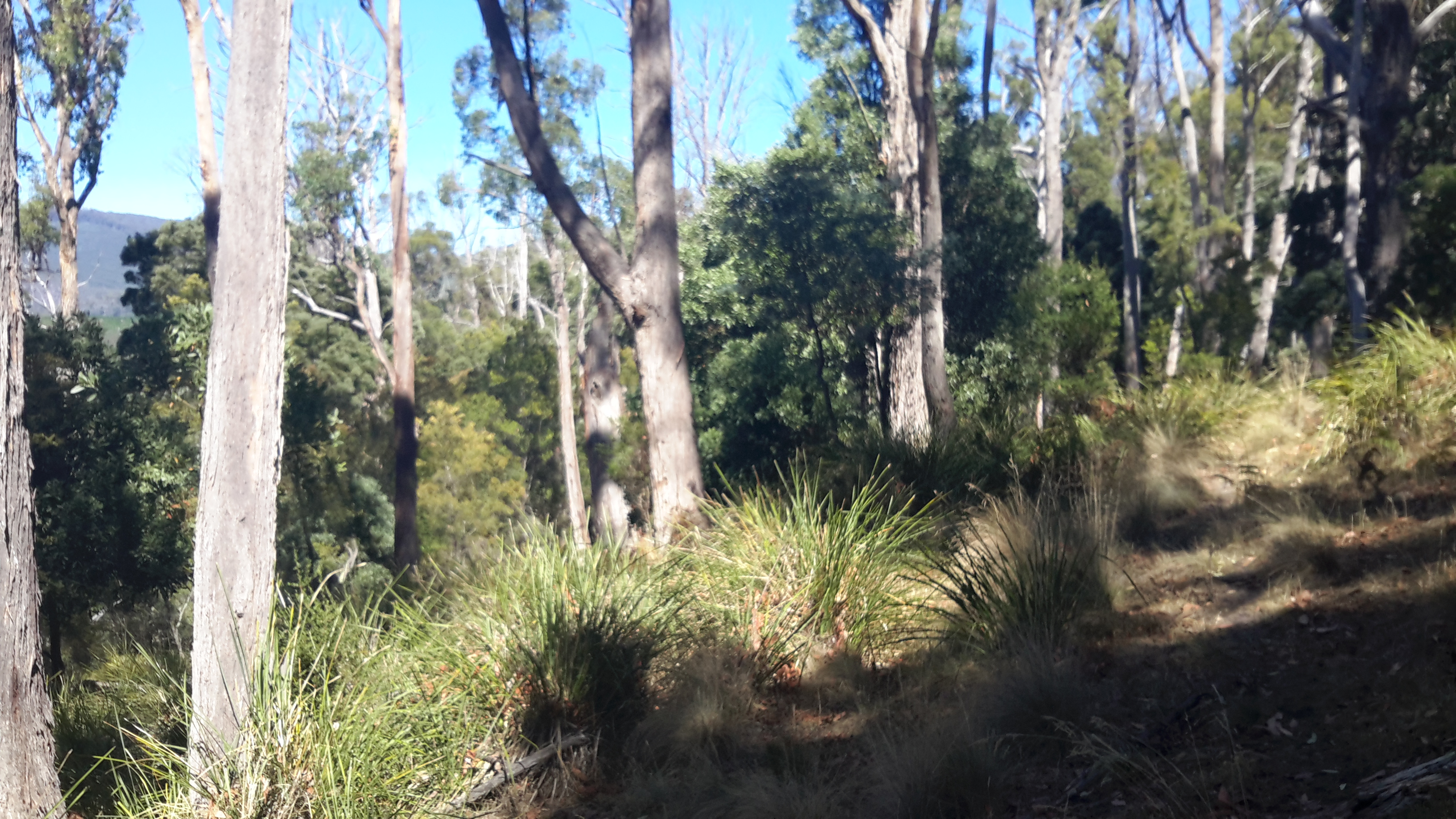
The signs of a past bushfire were clear on one long hill.  Possibly a year ago.  A little green regrowth in evidence.

20160209_141950.jpg

20160209_145502

Nevertheless seeing the blackened trees was a timely alert and made me wonder how I would cope if a bush fire came my way.  I have been informed the safest place is to find/create a hollow in the ground at the bottom of a hill, dig in and cover yourself as well as you can (remembering that most bushwalking gear and clothes is synthetic and will melt), hope the fire will flash over you quickly and that no trees or burning branches will fall on you, wait until the rush has passed, and then hope you can see somewhere to go.  I don’t ever want to put that to the test.

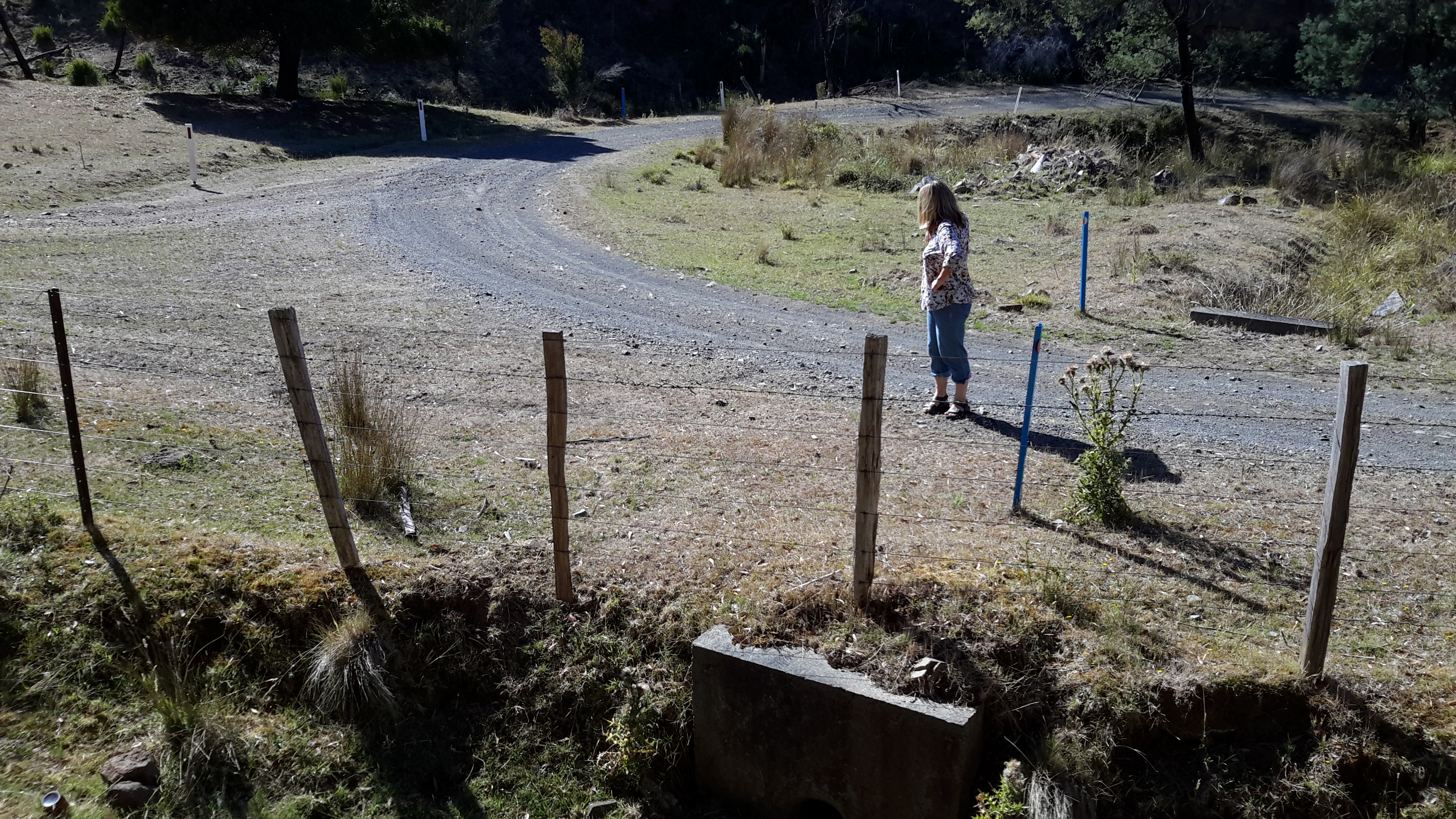
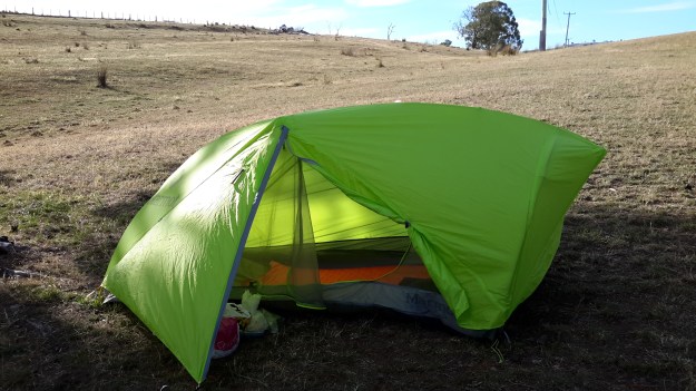
On the evening of this walk, I dropped off to sleep around 7.30pm (early to bed early to rise!) in my trusty little synthetic tent on the only flat place I could find during almost the entire walk.

20160209_182356.jpg

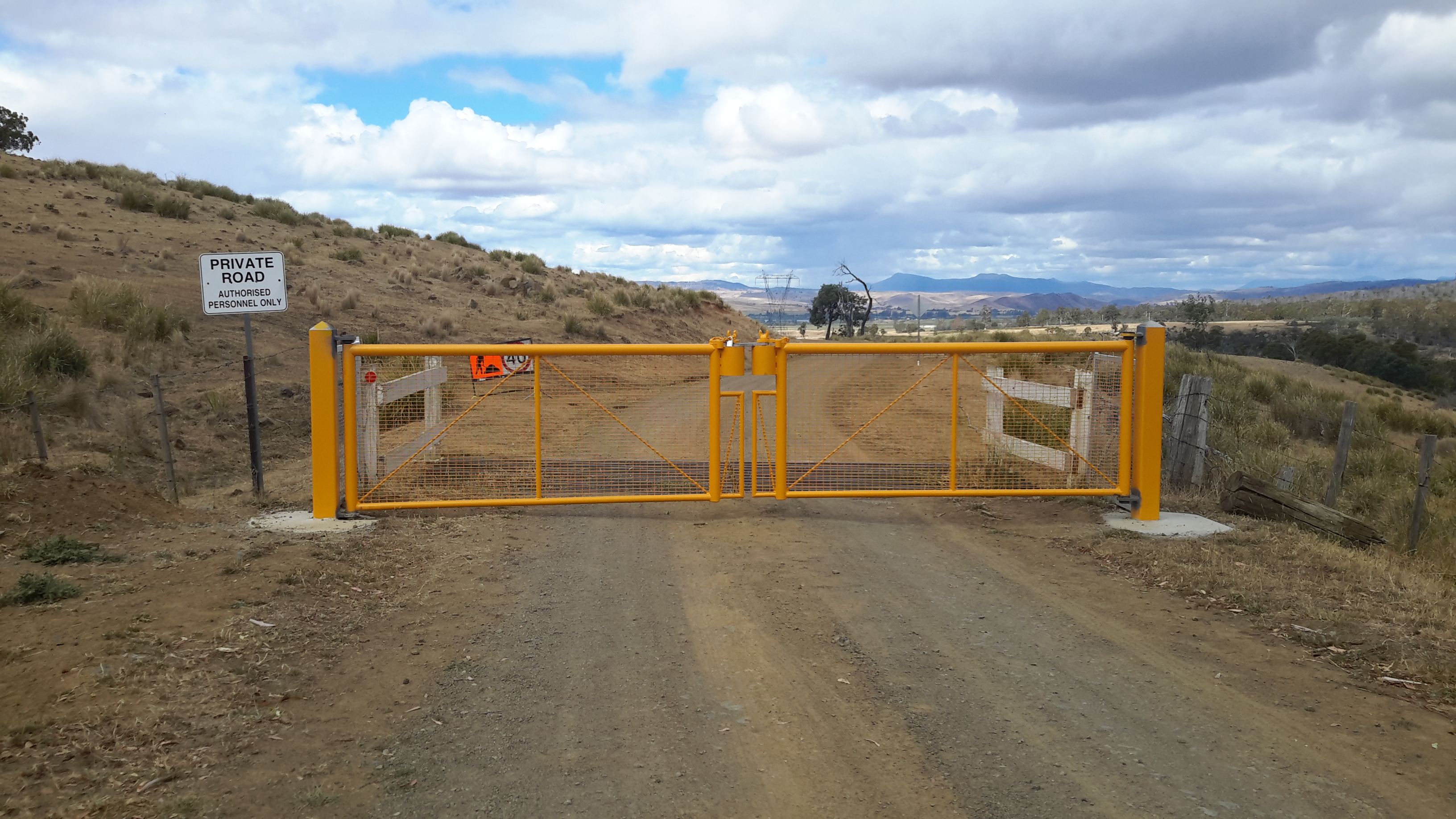
A little after 9 pm I woke to the smell of smoke.  Hmmmm.  I clambered out of the tent to have a look; 360 degrees of hills were softened with smoke haze.  No wind.  I couldn’t guess the direction from where the fire smoke might be coming.  When I considered collapsing my tent, repacking my backpack and continuing onto the Catagunya complex, I realised it was possible the fire was flaring between me and that destination. I listened for the sound of helicopters doing water drops.  Heard nothing.

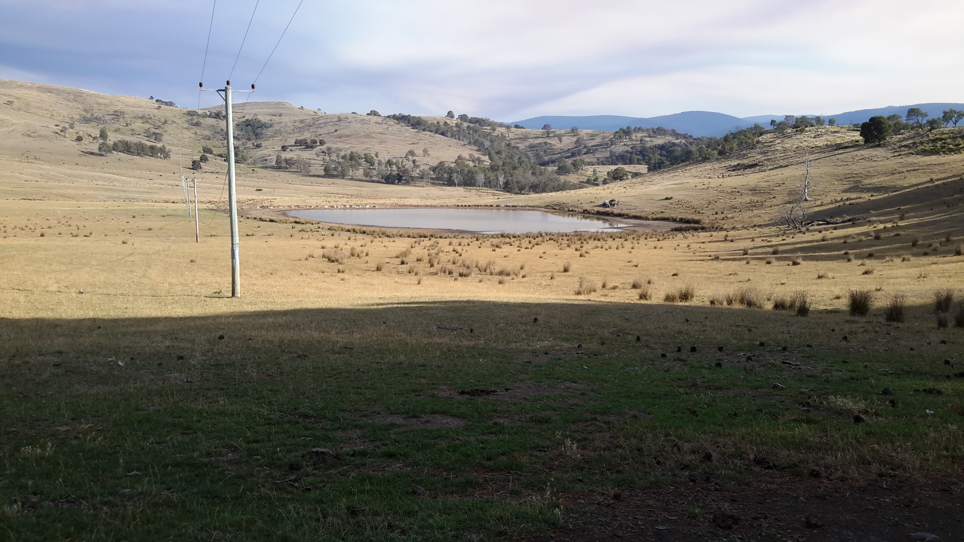
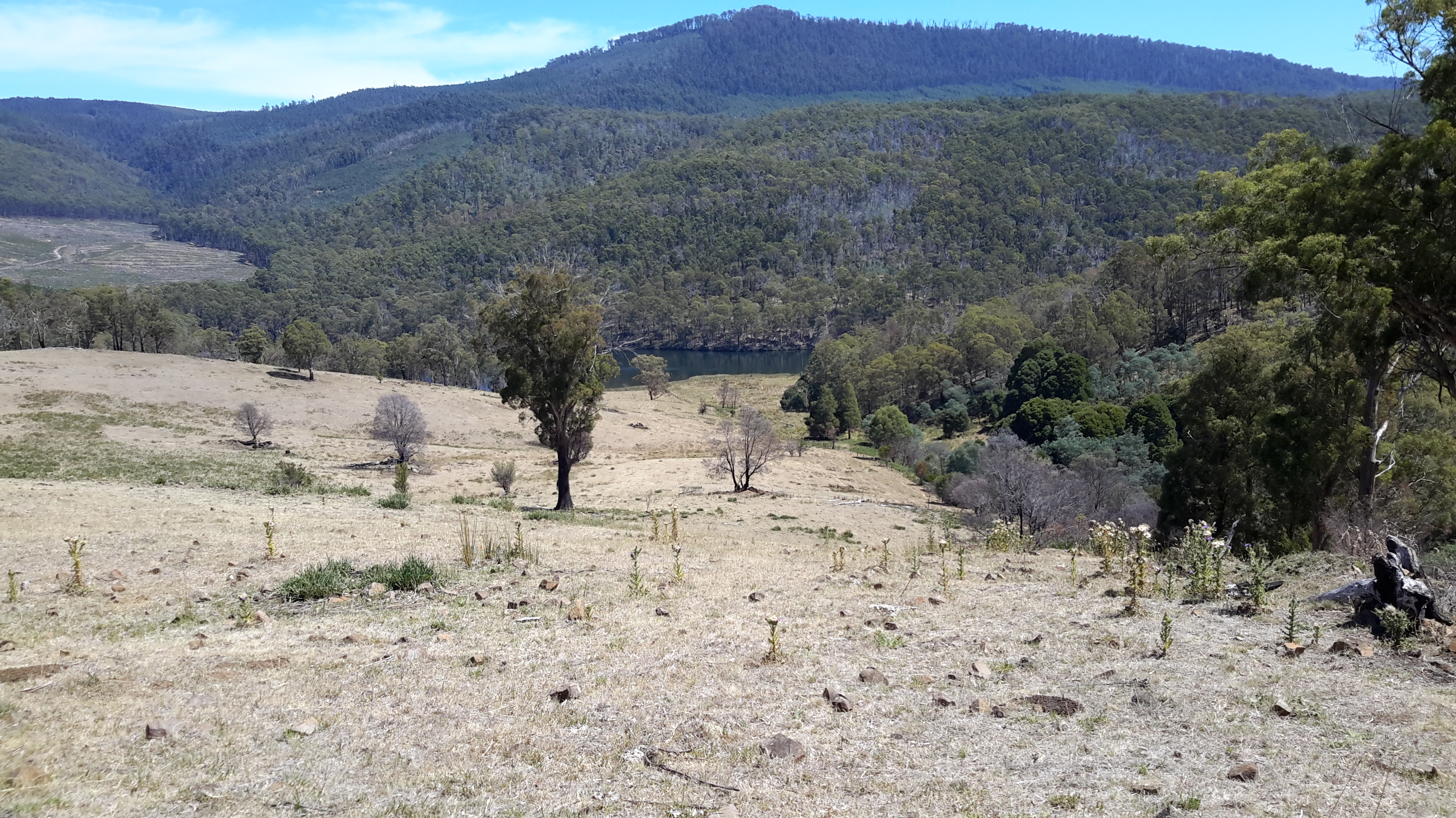
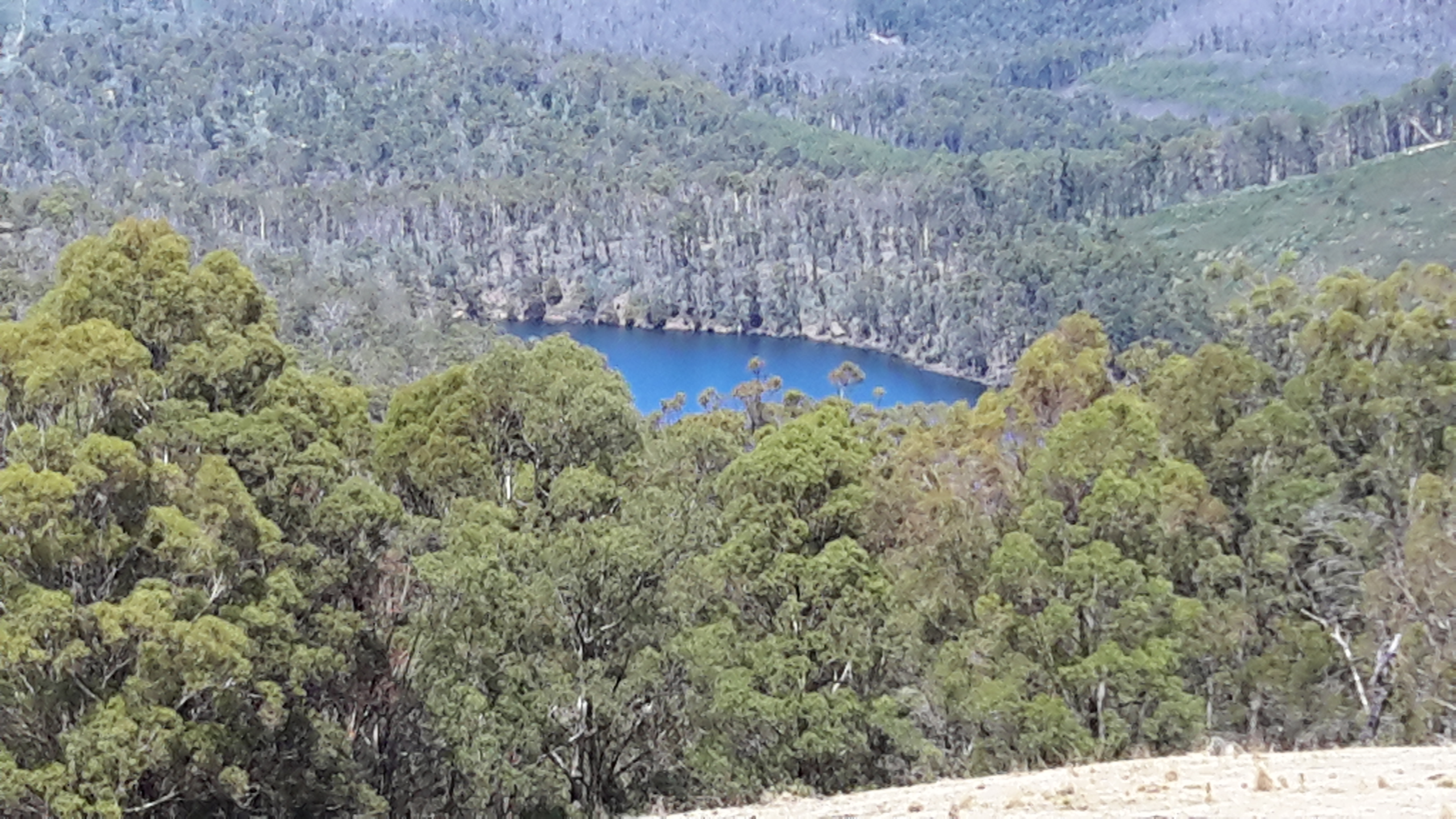
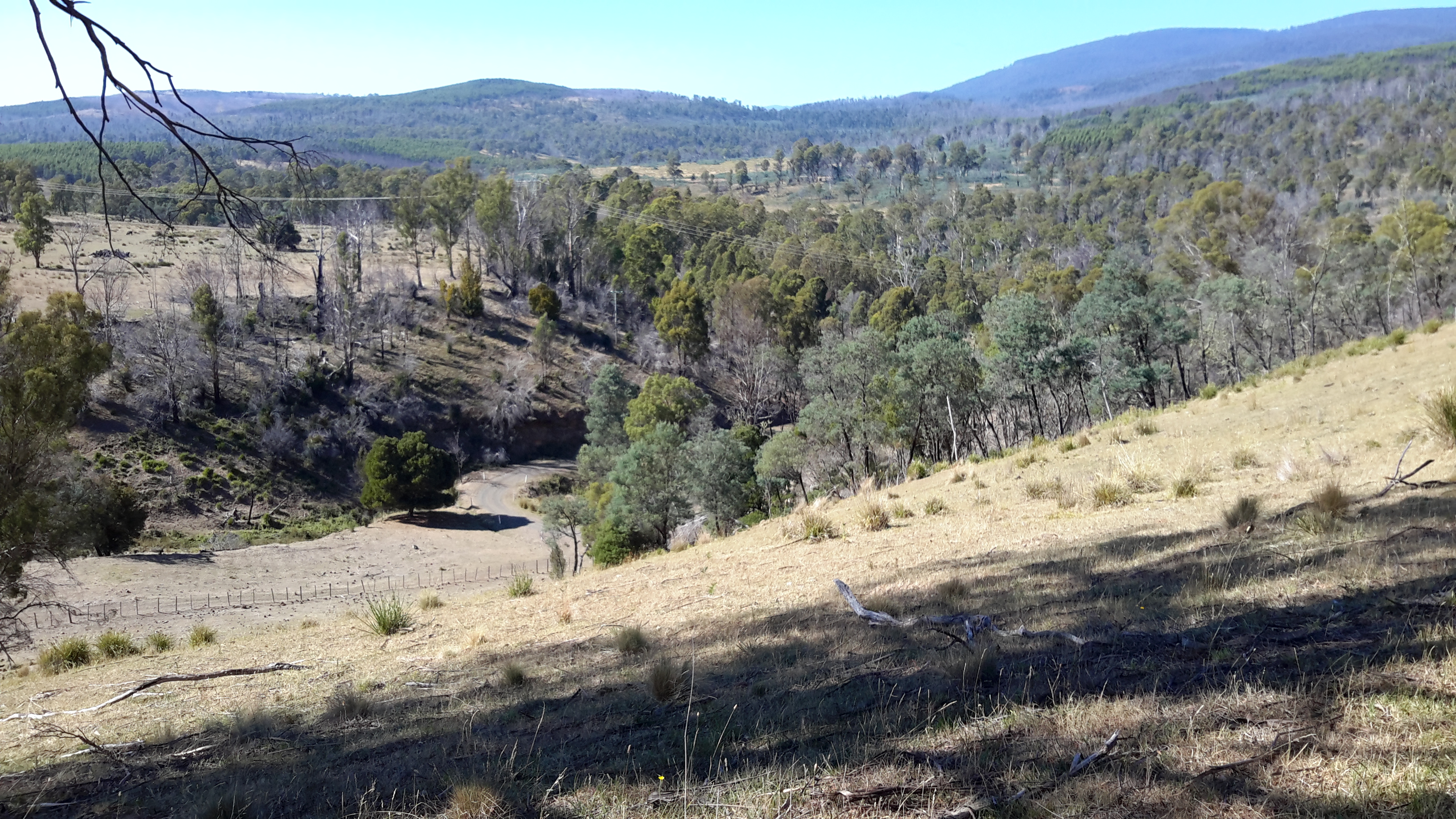
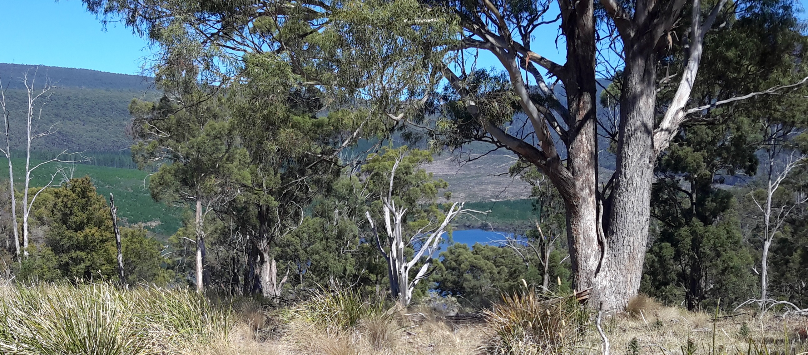
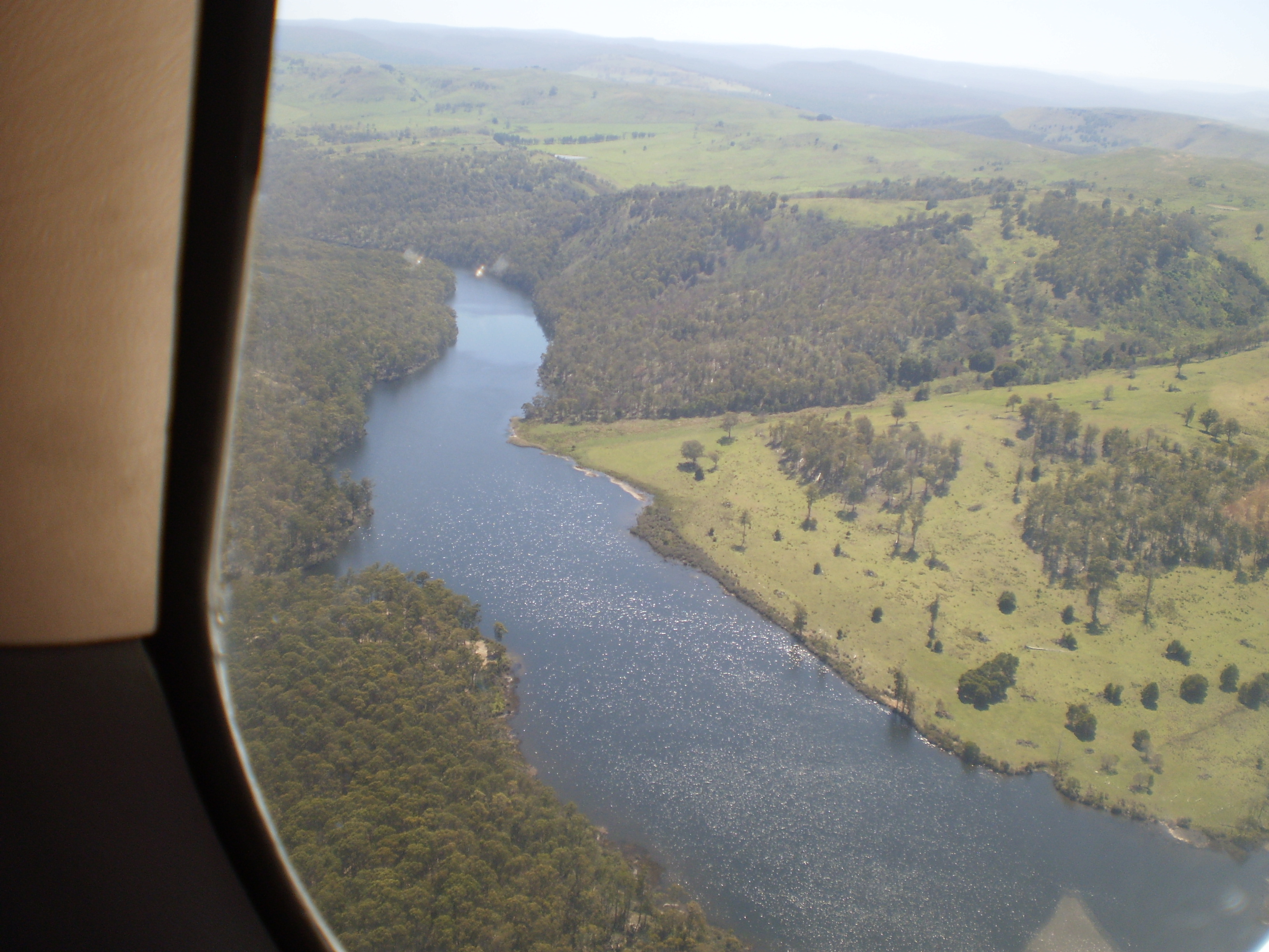
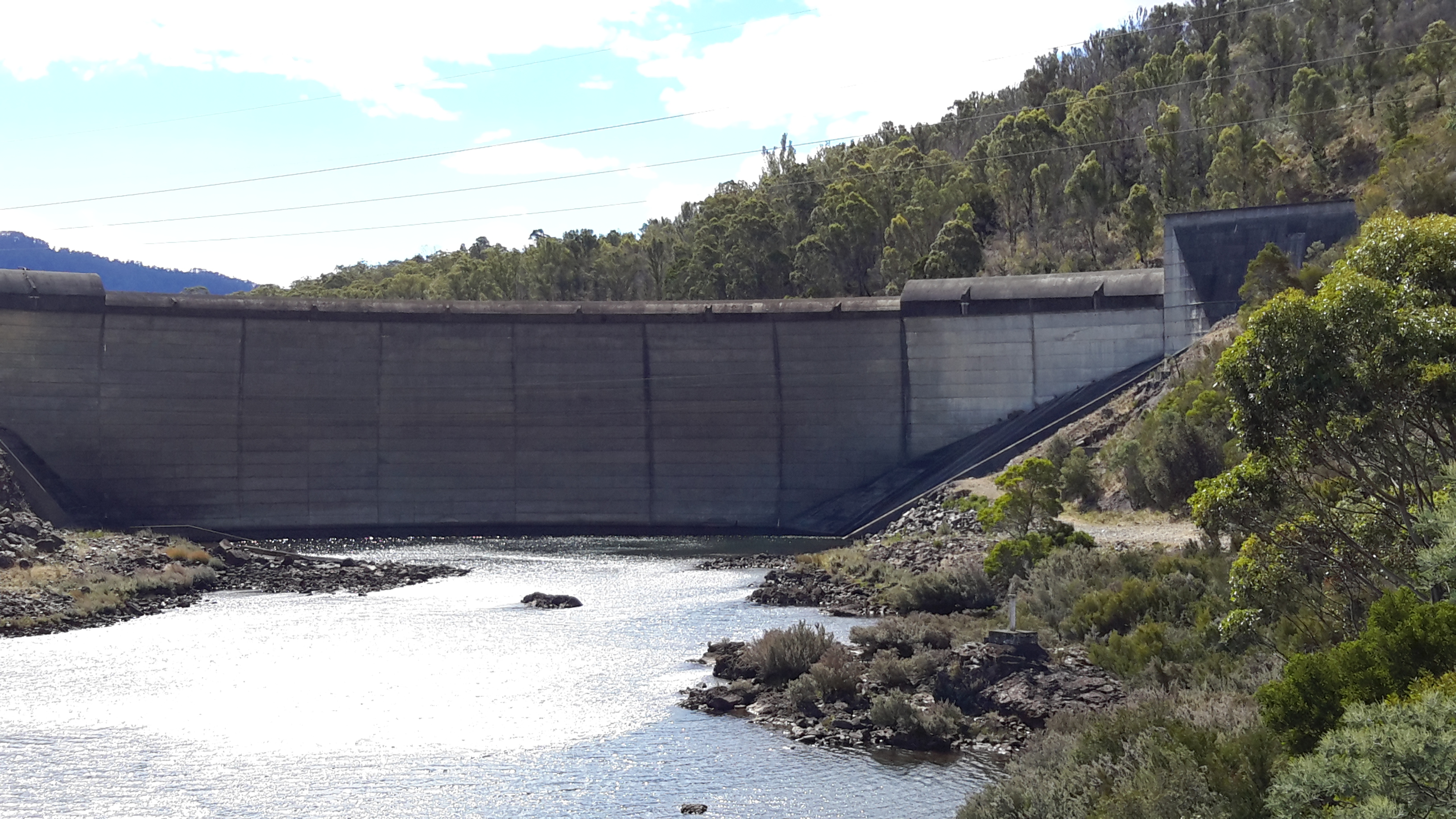
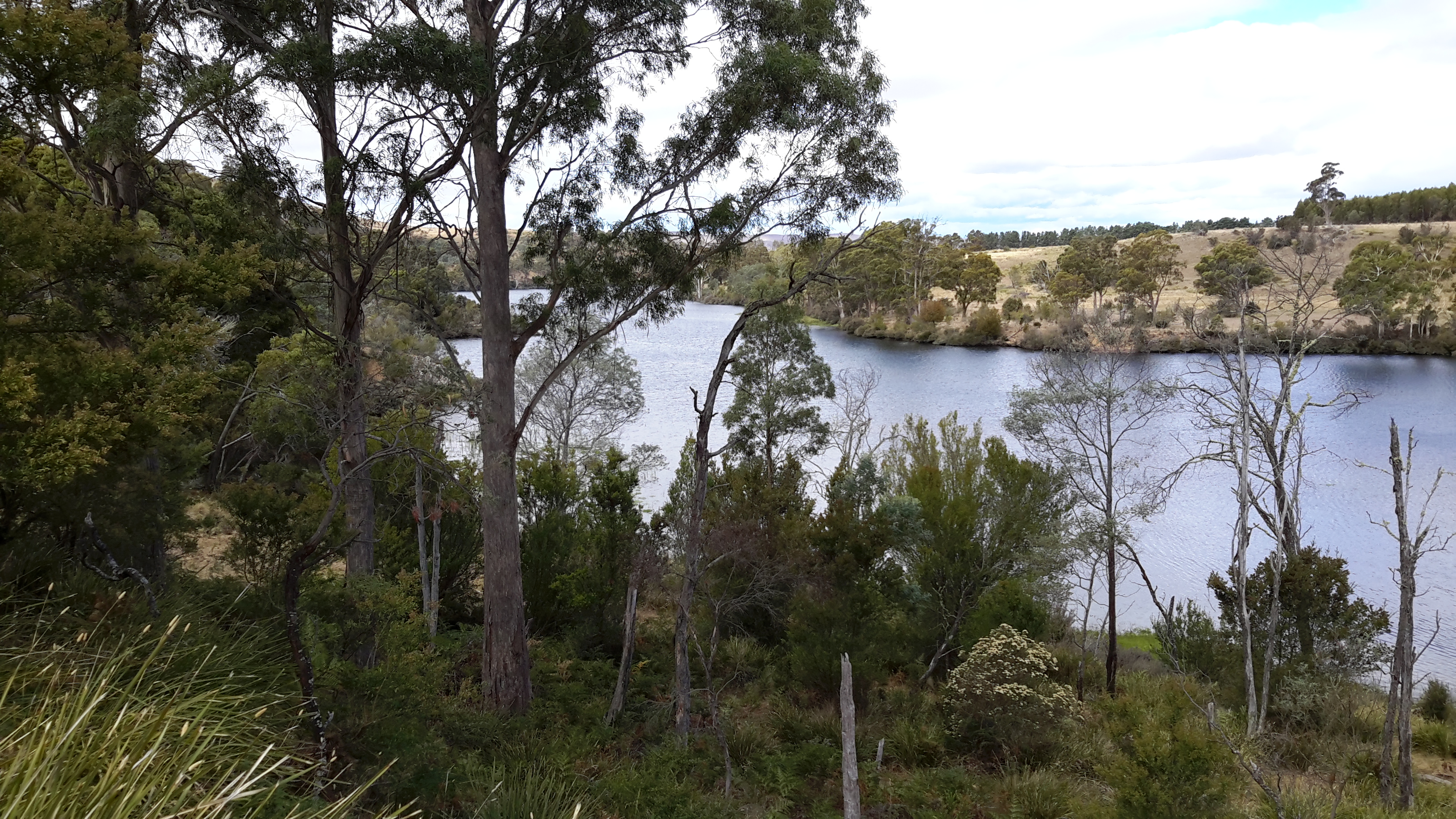
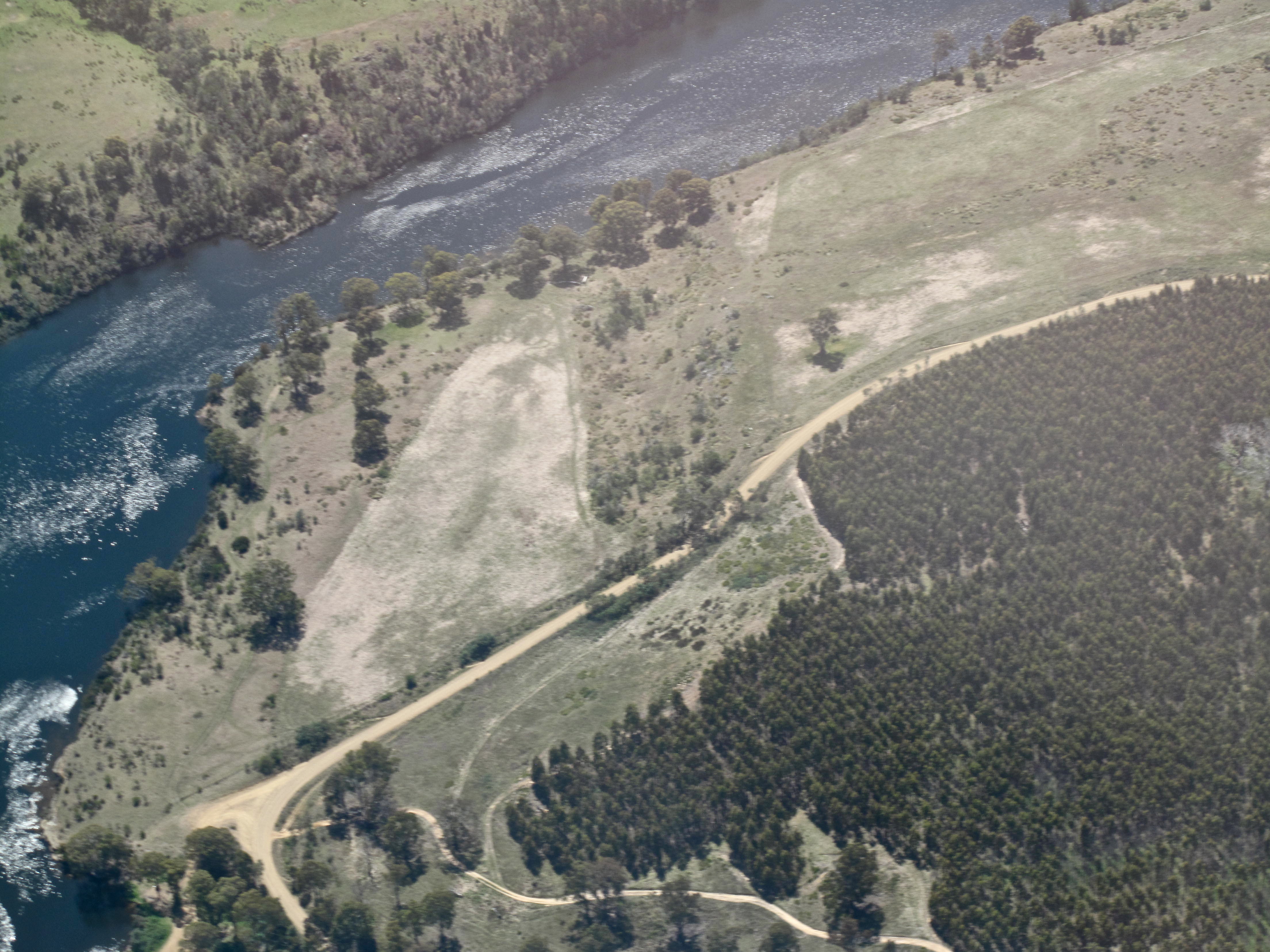
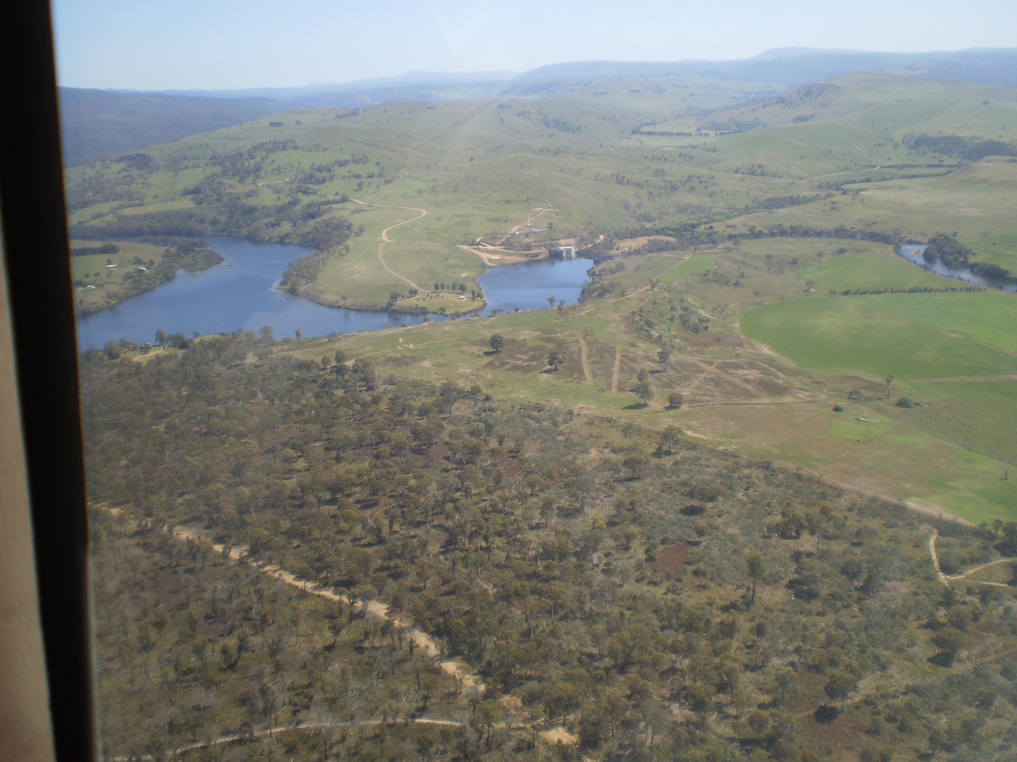
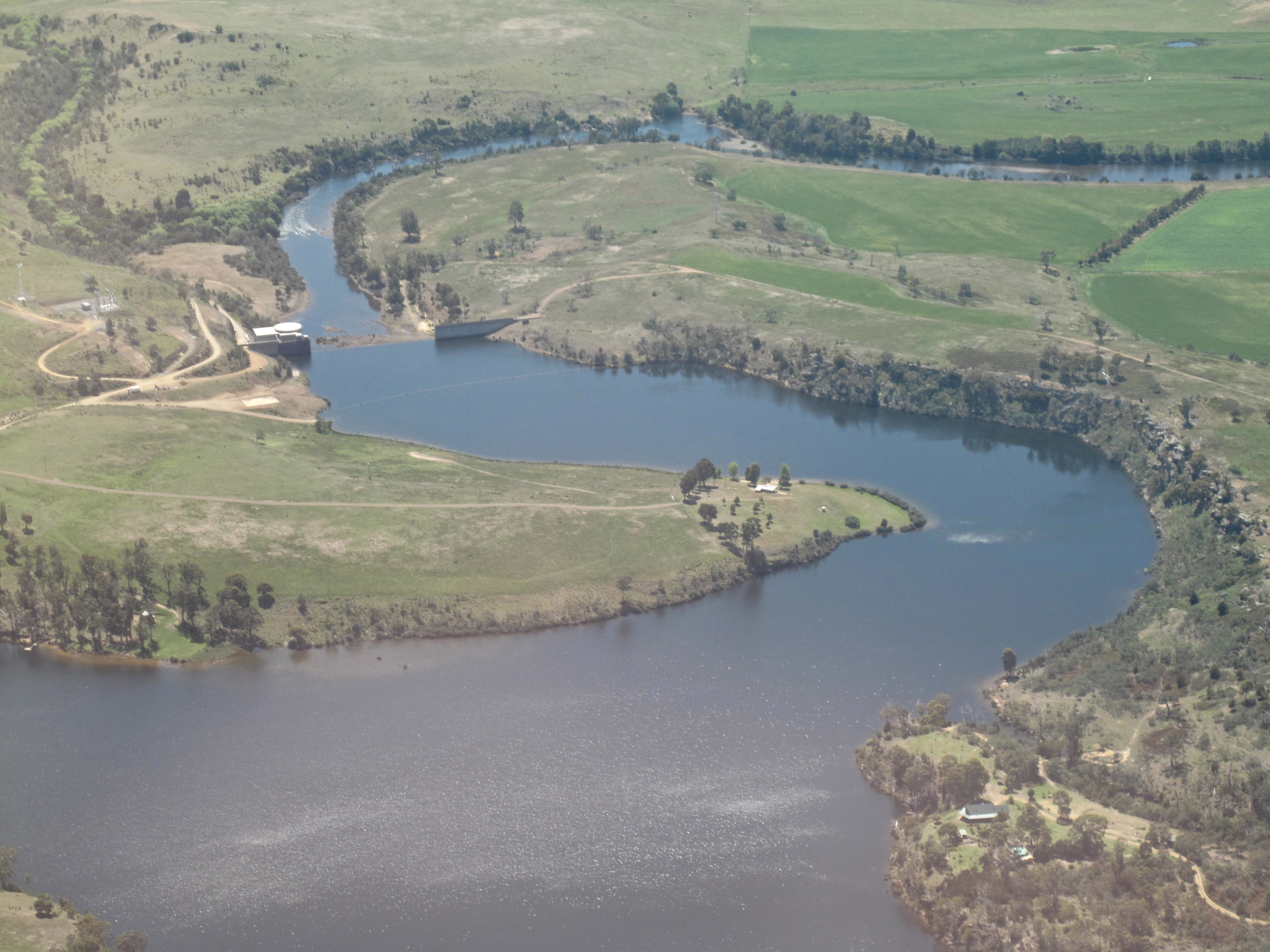
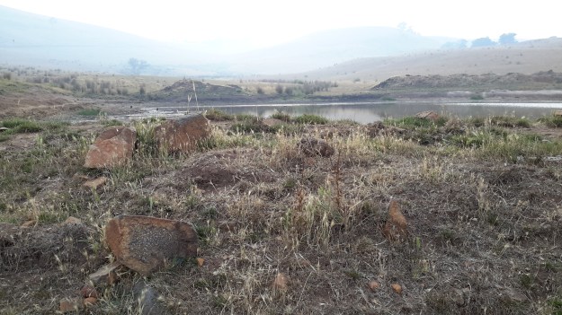
A couple of hundred metres below me was the dam with its thick brown water (photo below taken when setting up before the smoke haze arrived) which I felt was the safest place I would find close by. Thought I was safest staying put.

20160209_182342.jpg

So I climbed back into my hot sleeping bag (the evening temperature didn’t cool as forecast), and went to sleep.

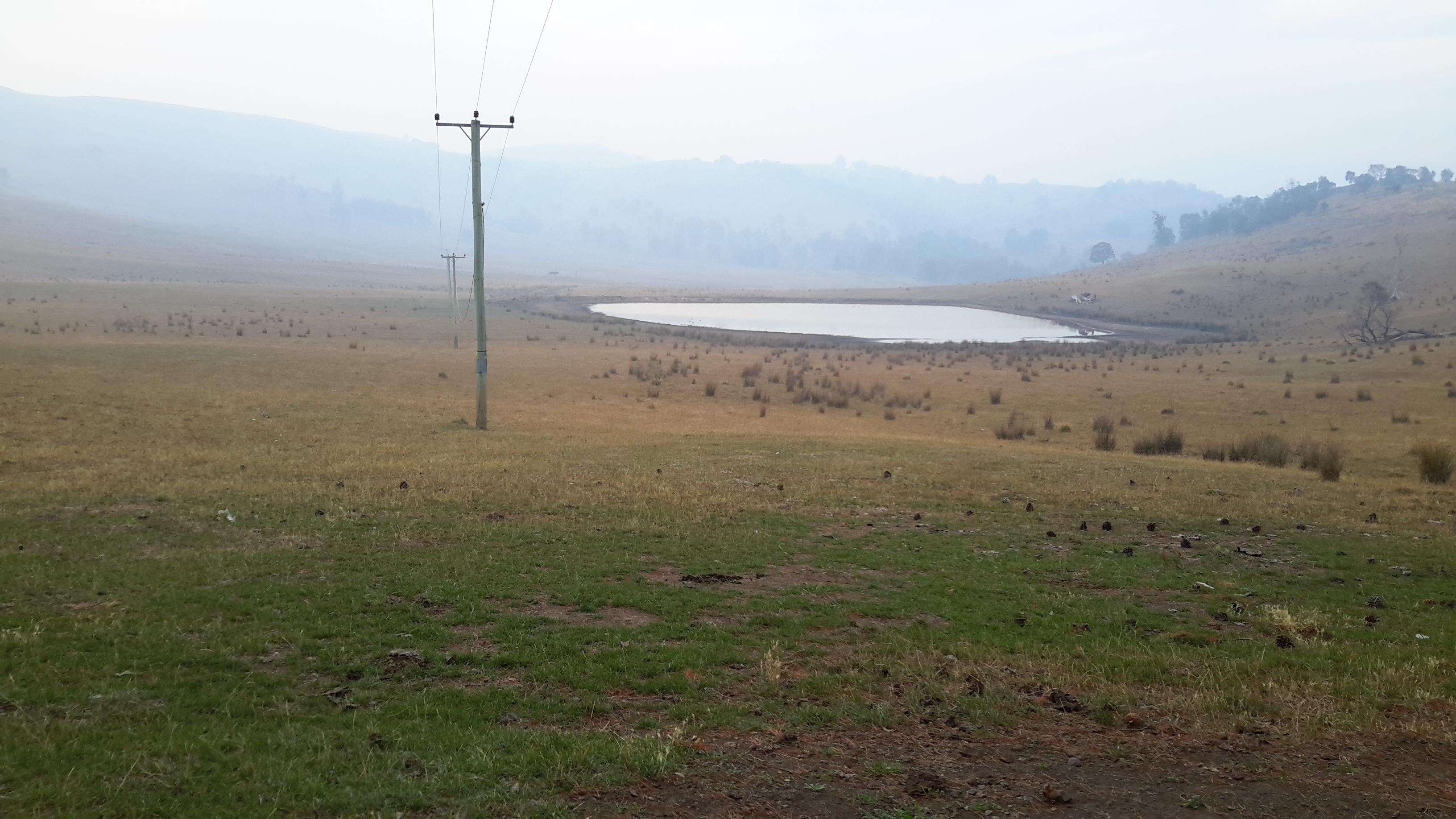
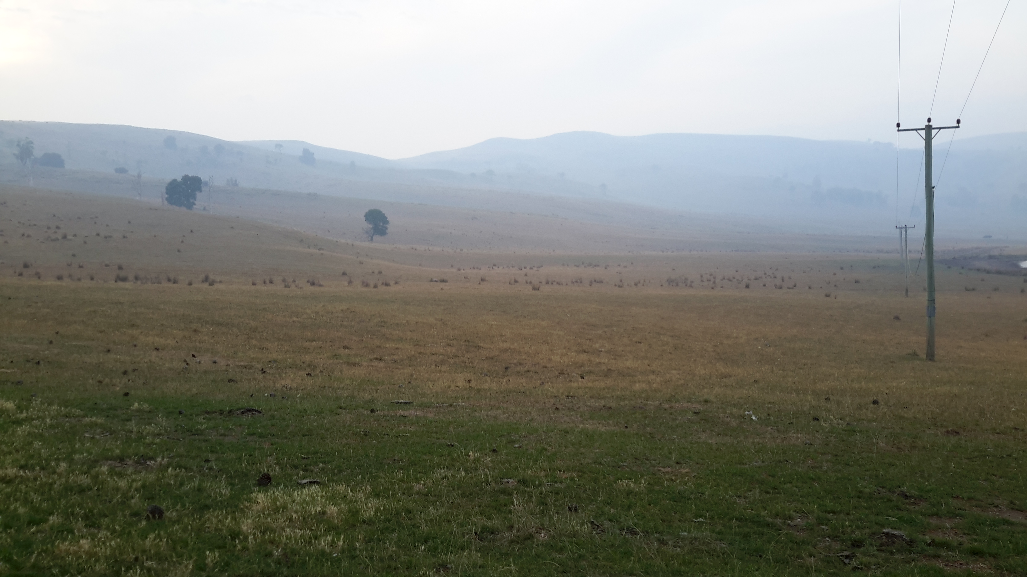
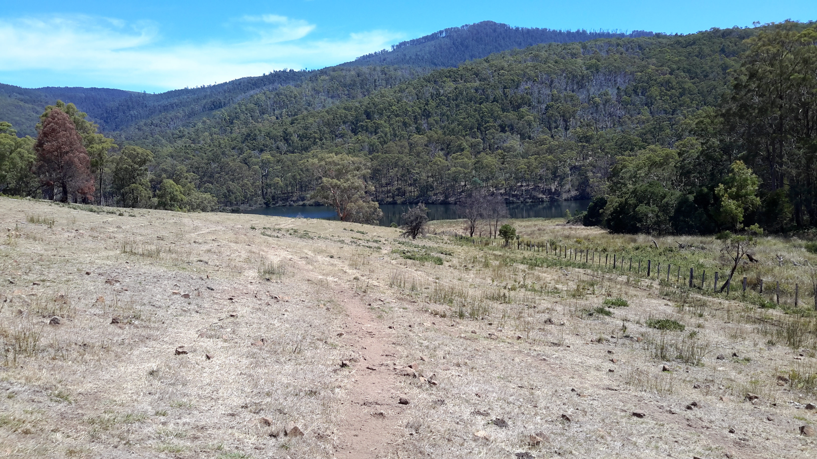
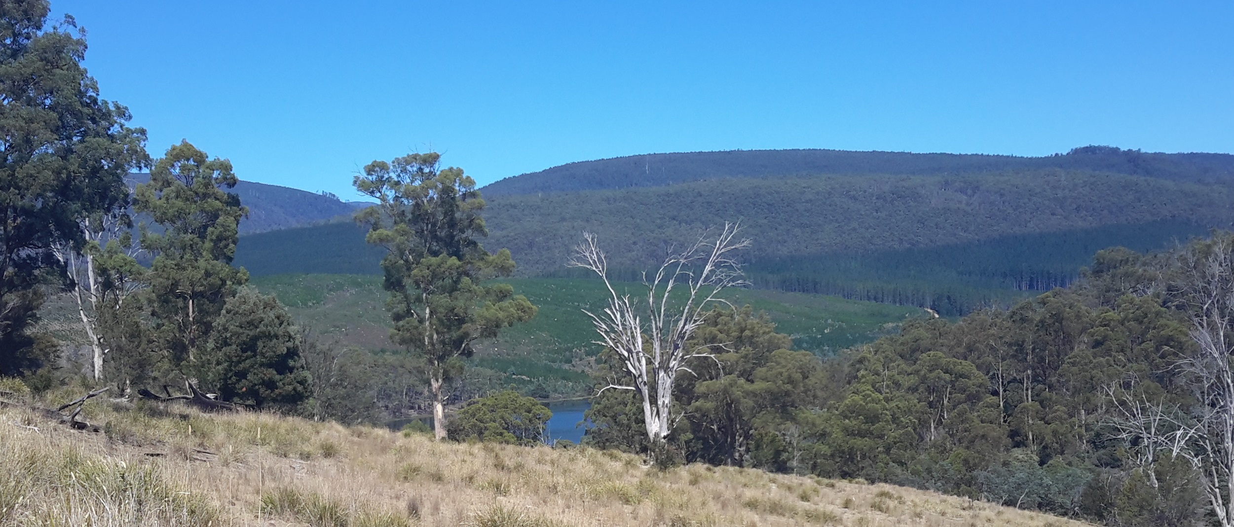
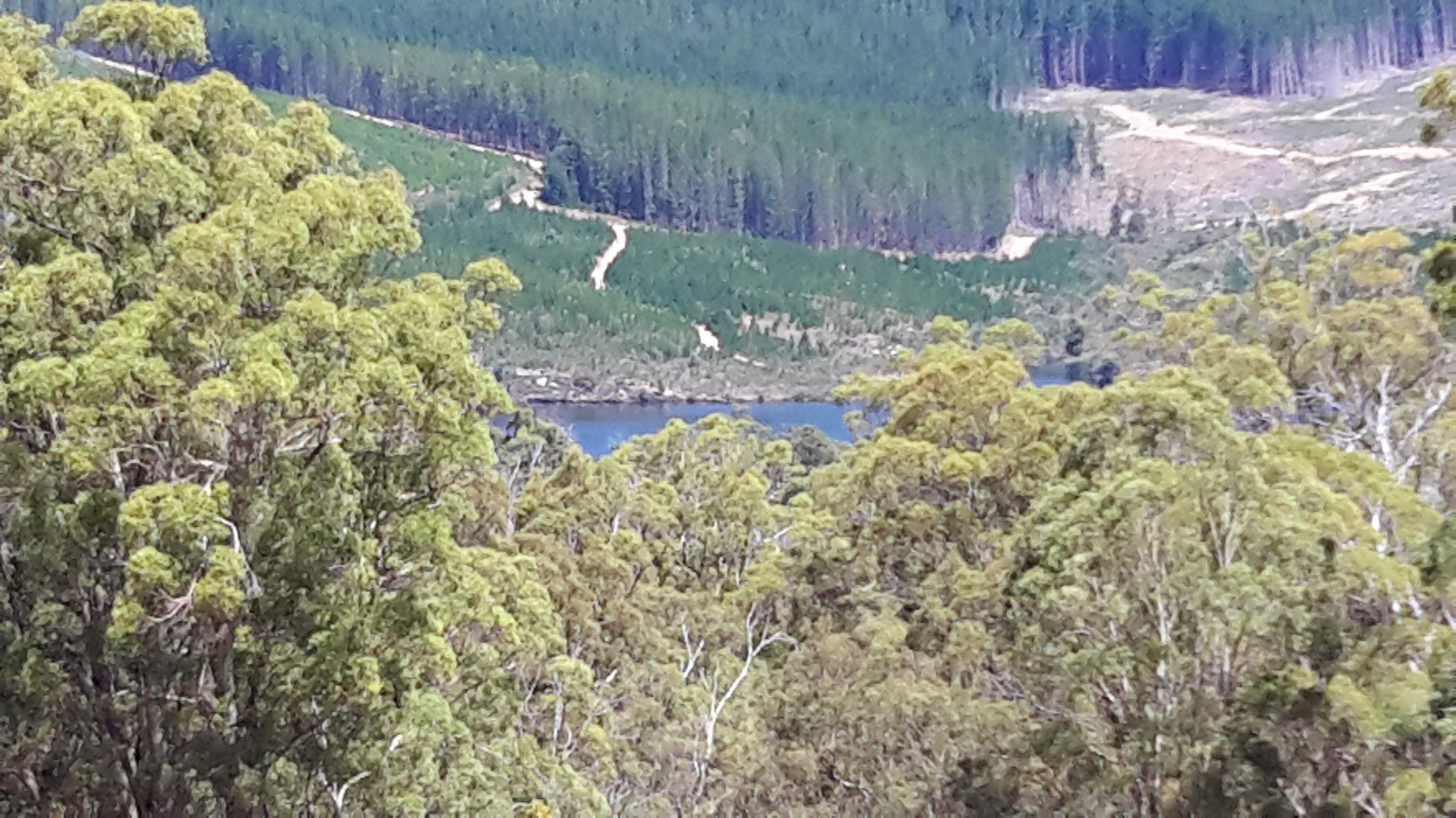
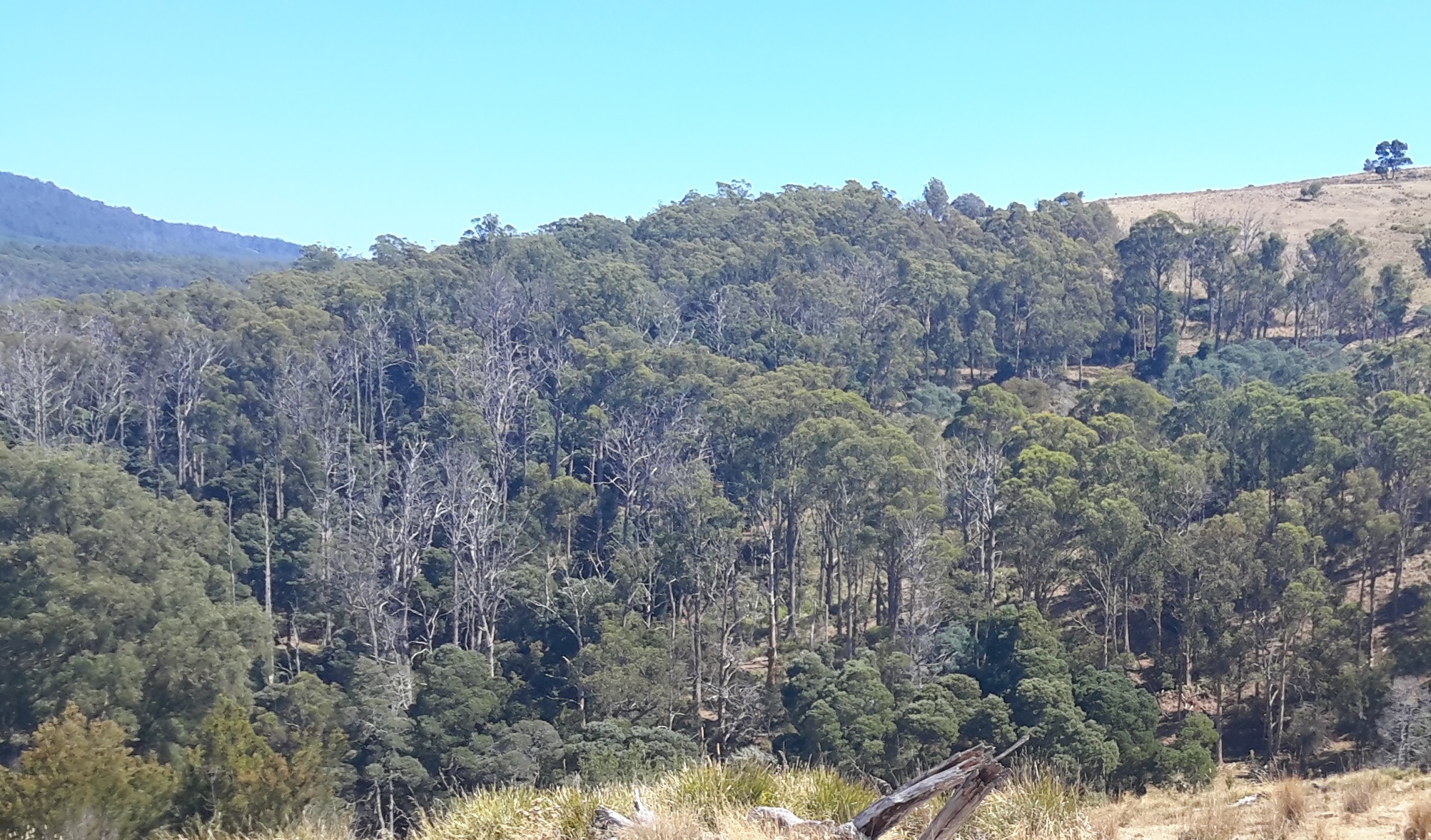
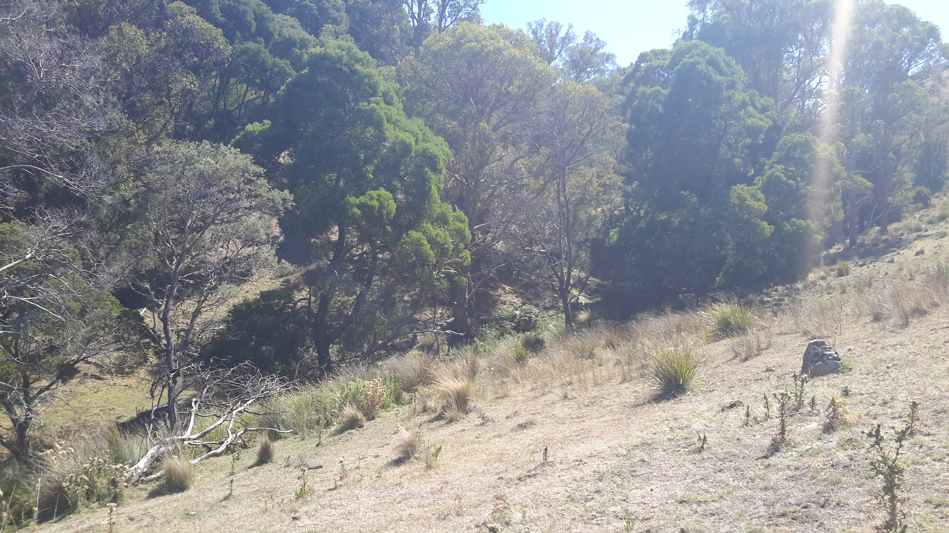
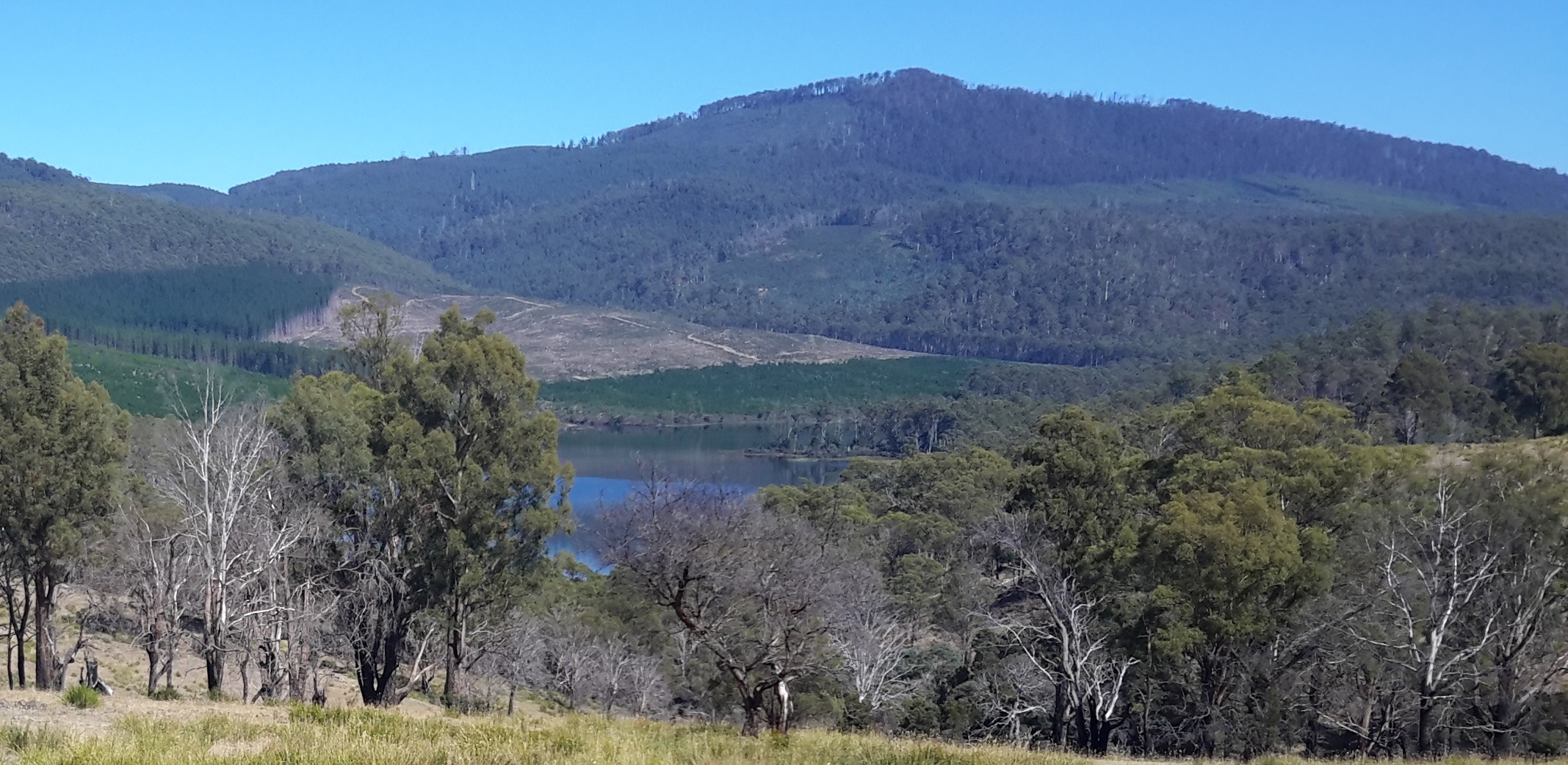
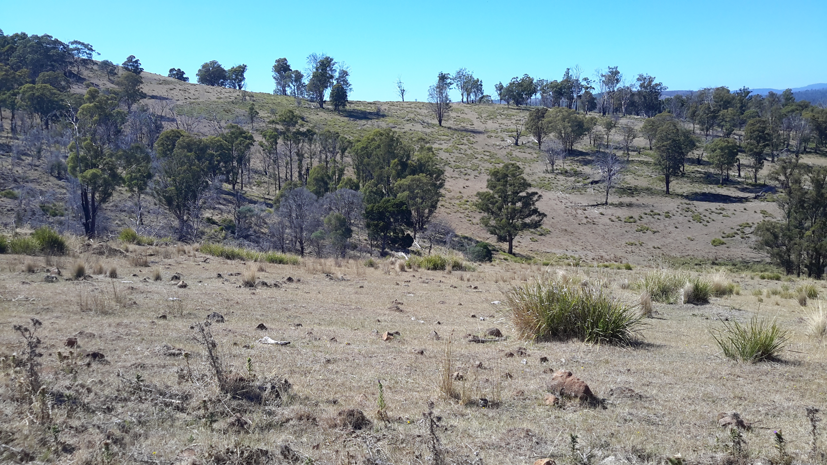
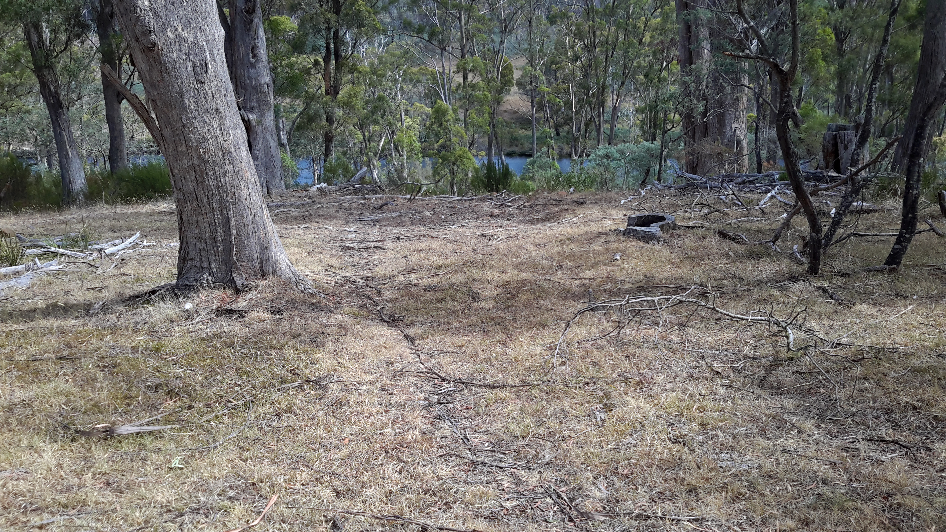
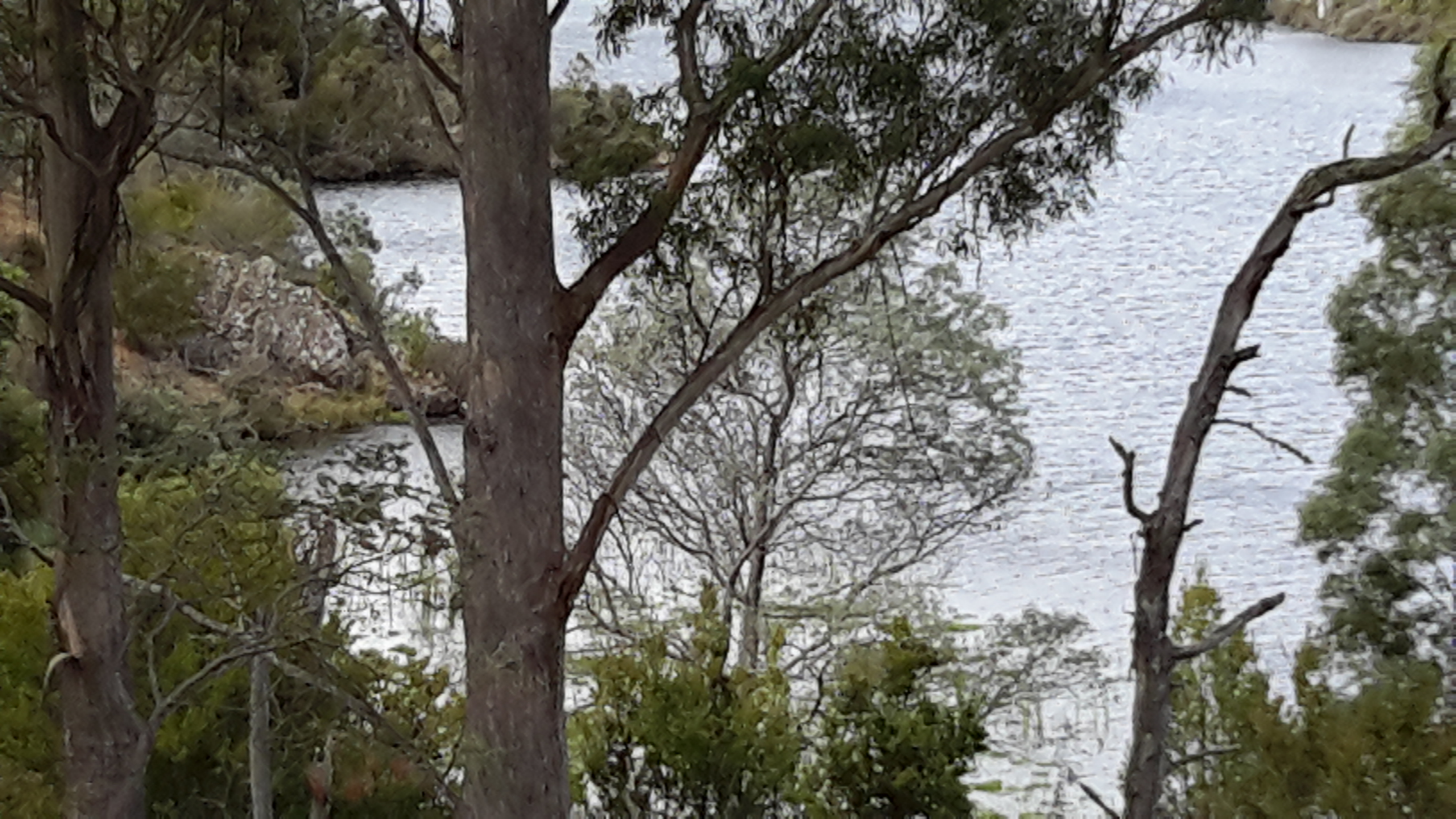
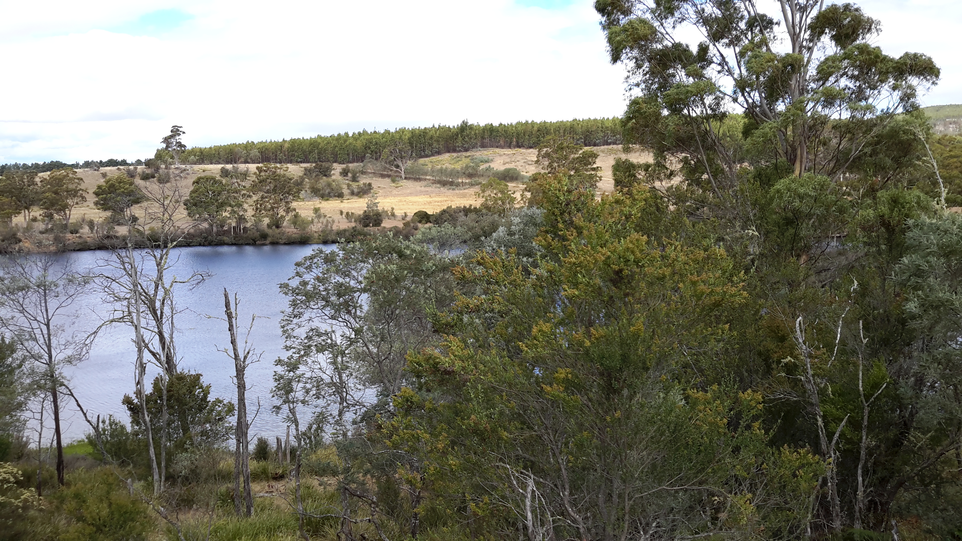
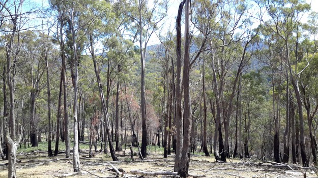
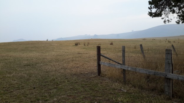
In the morning, I took the following photos. They show the smoky cattle-crossed hills surrounding me – and indicate the smoky air I was breathing.

20160210_072356.jpg

20160210_072359.jpg

20160210_072402.jpg

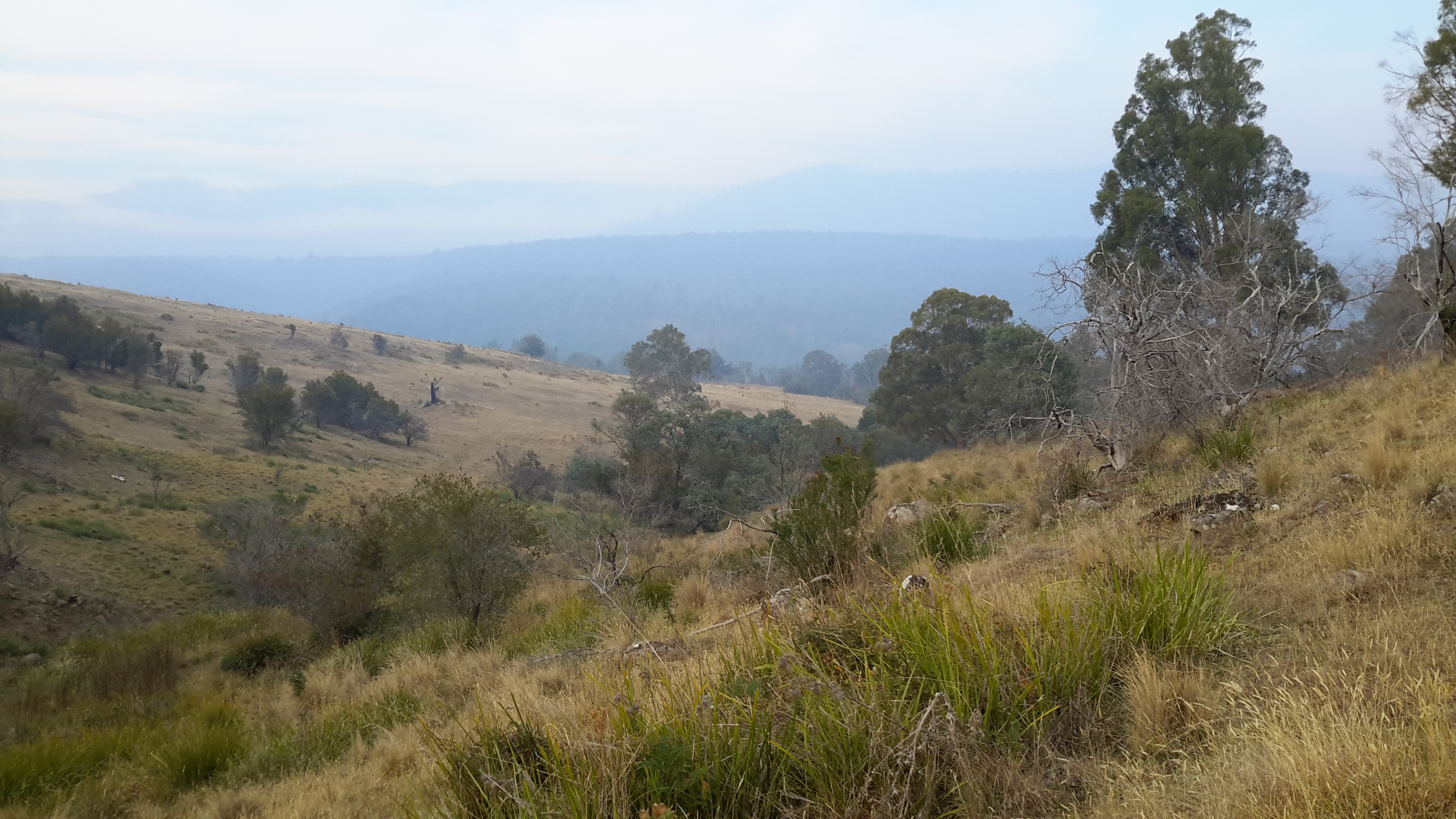
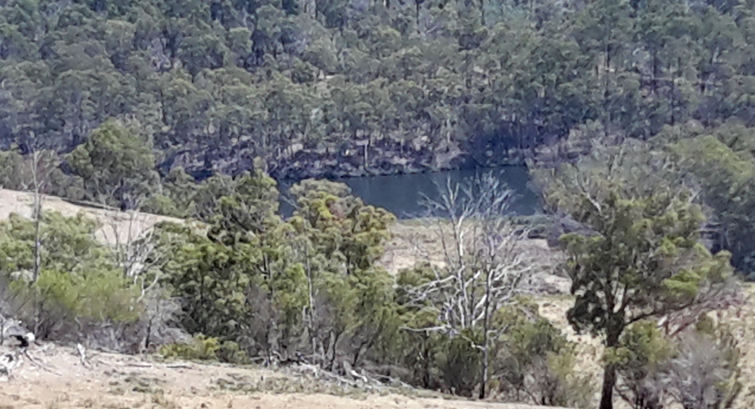
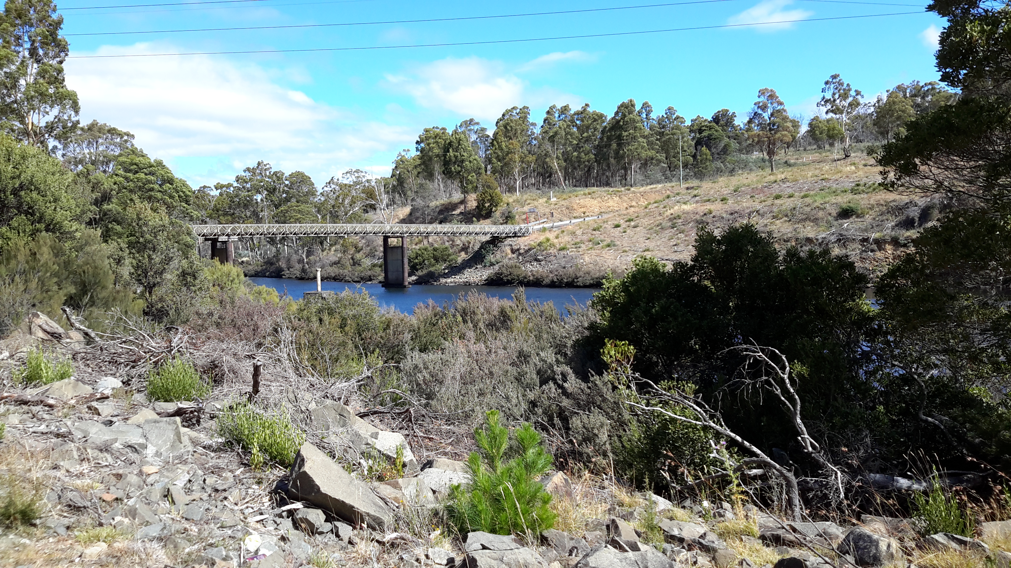
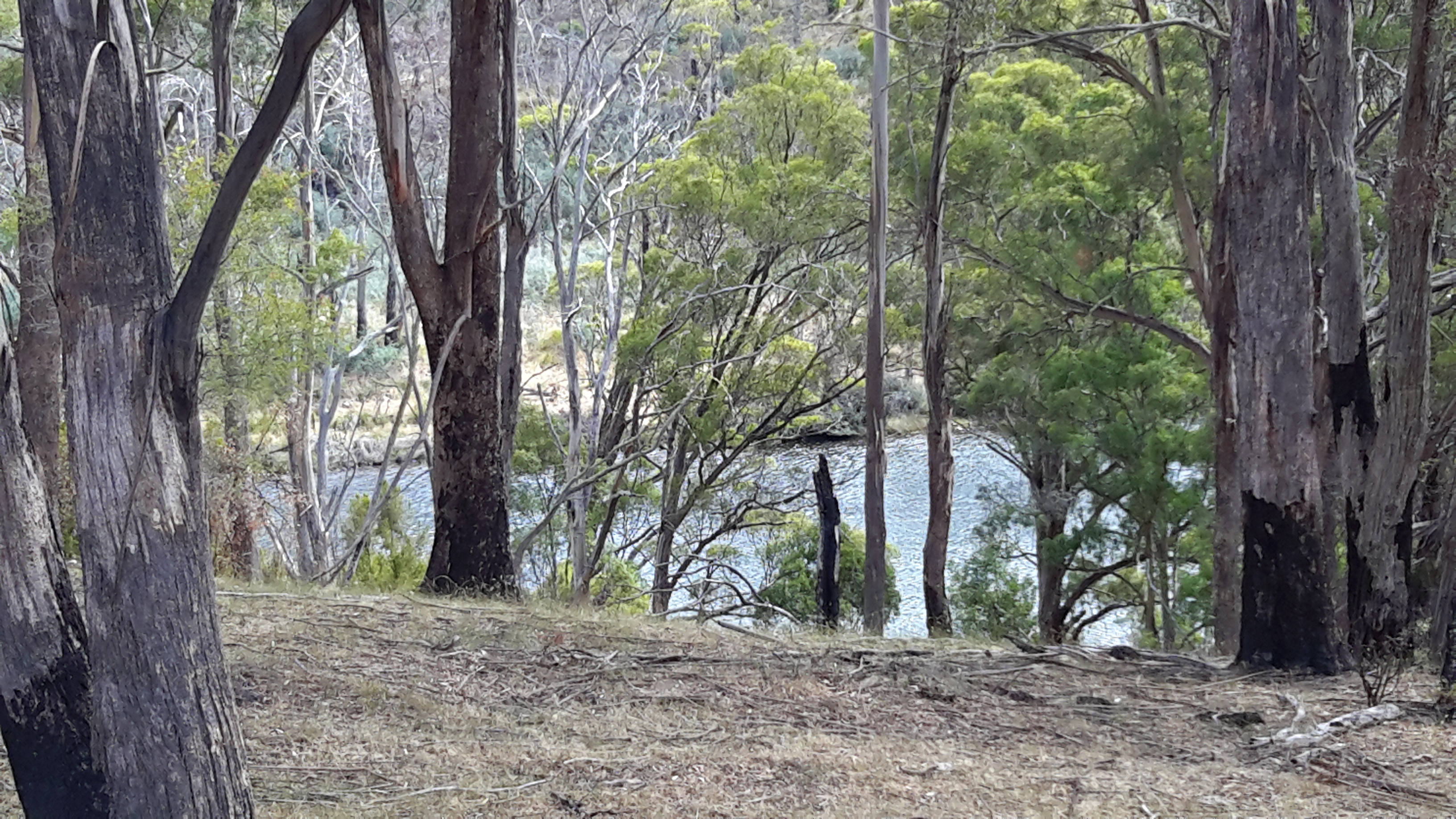
I packed up and walked passed another smaller dam, before travelling around, down and up hills once more. The smoky haze persisted. Didn’t seem worse.  I continued.

20160210_074429.jpg

20160210_074902.jpg

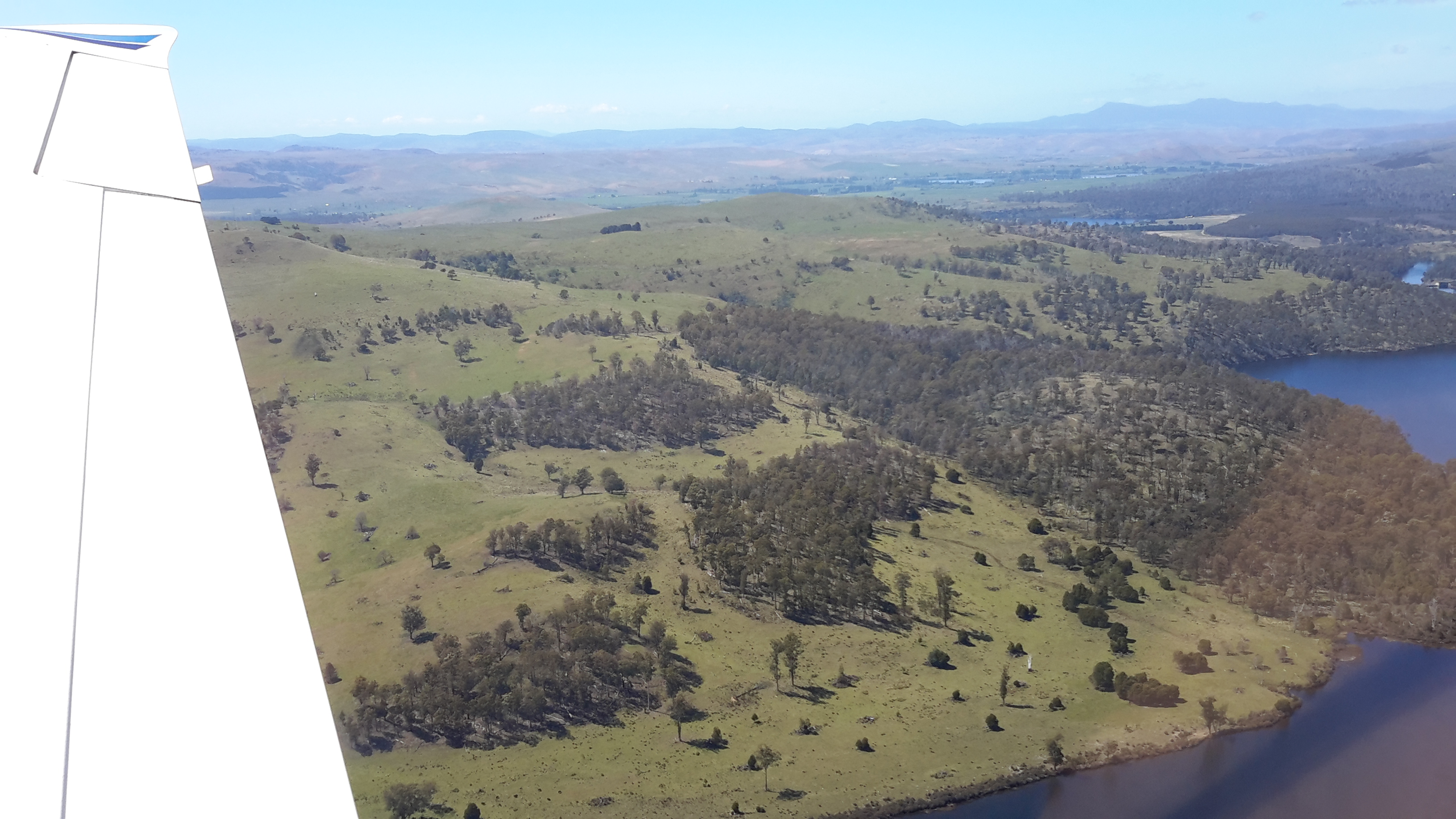
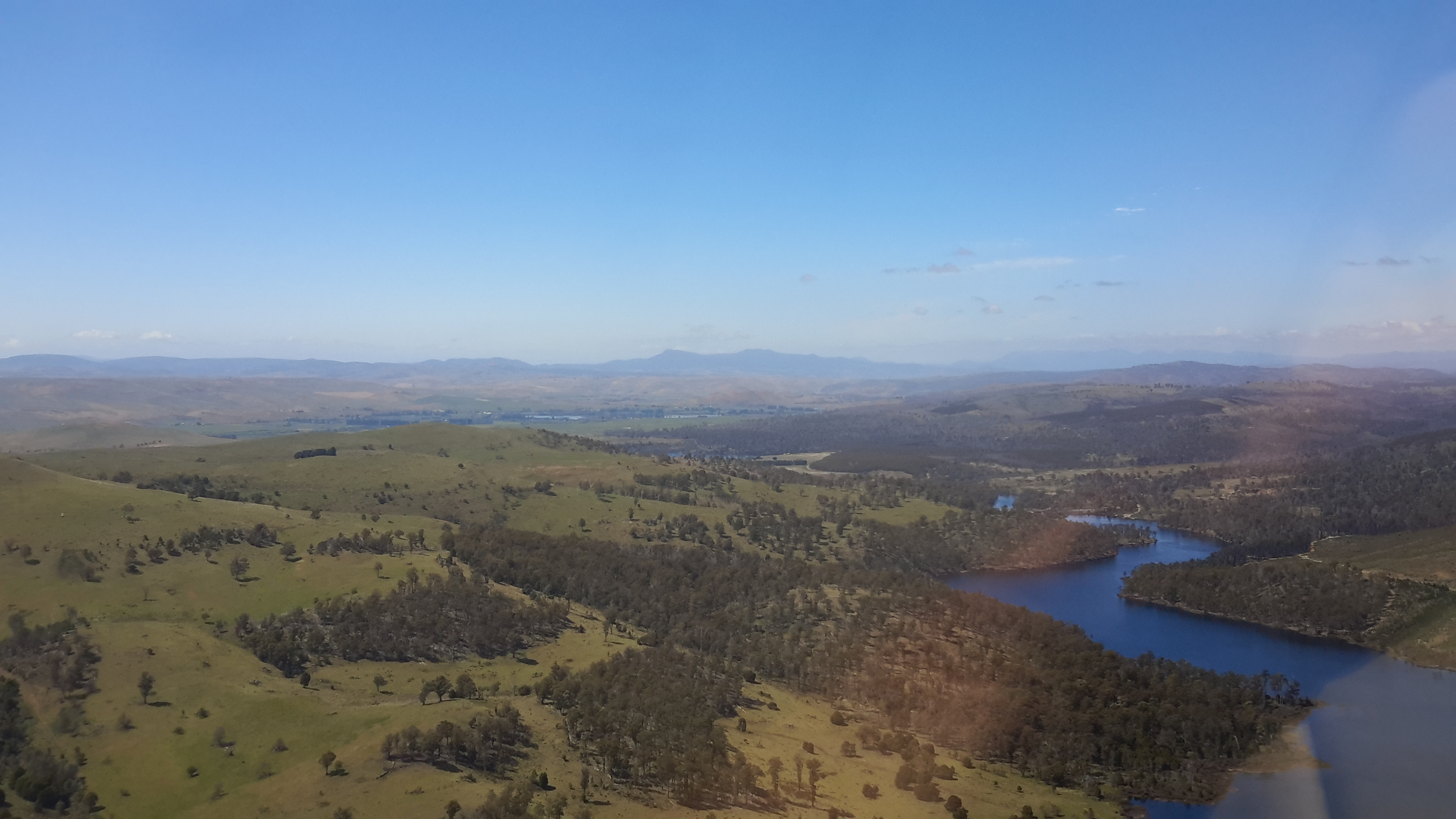
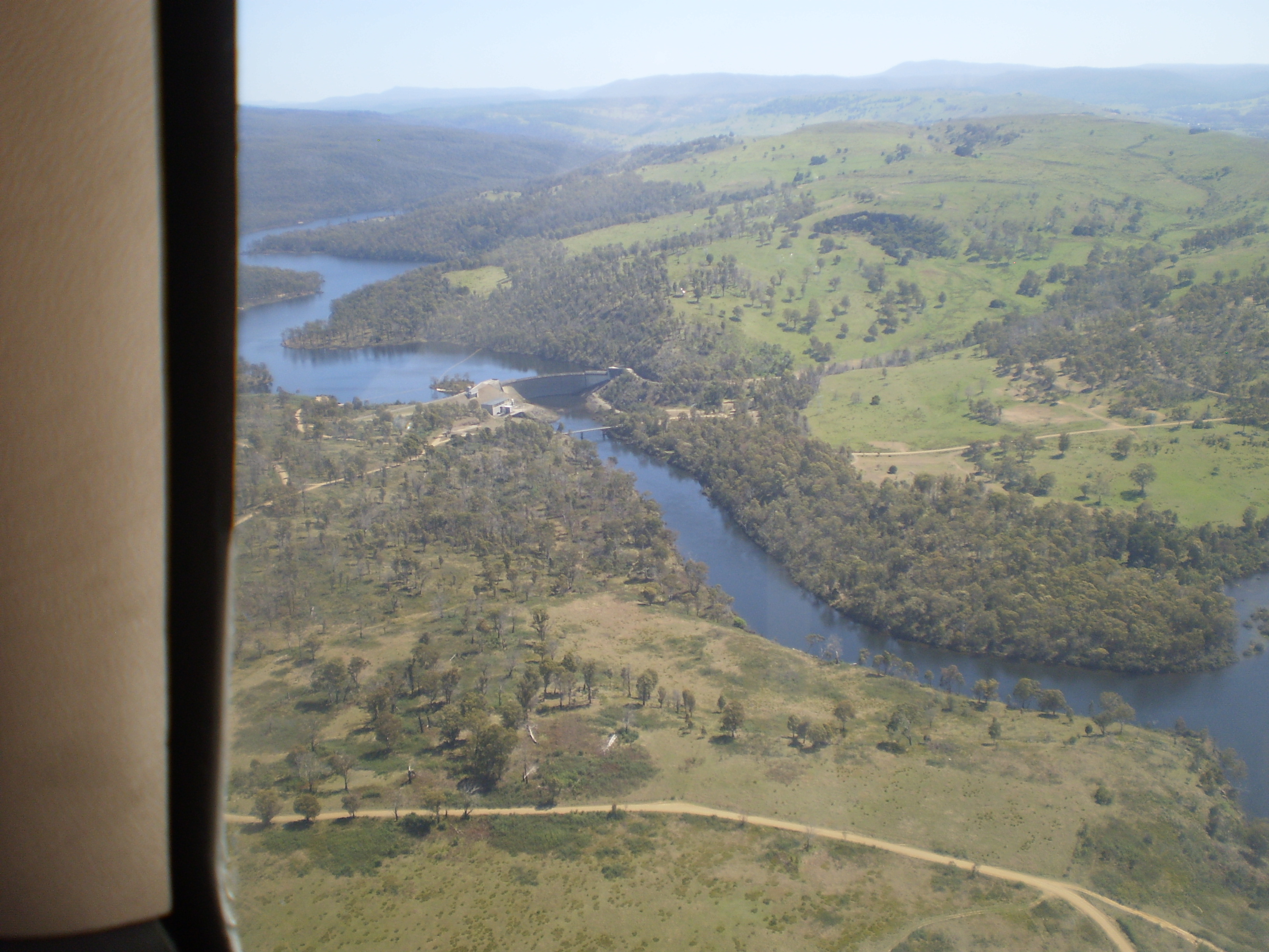
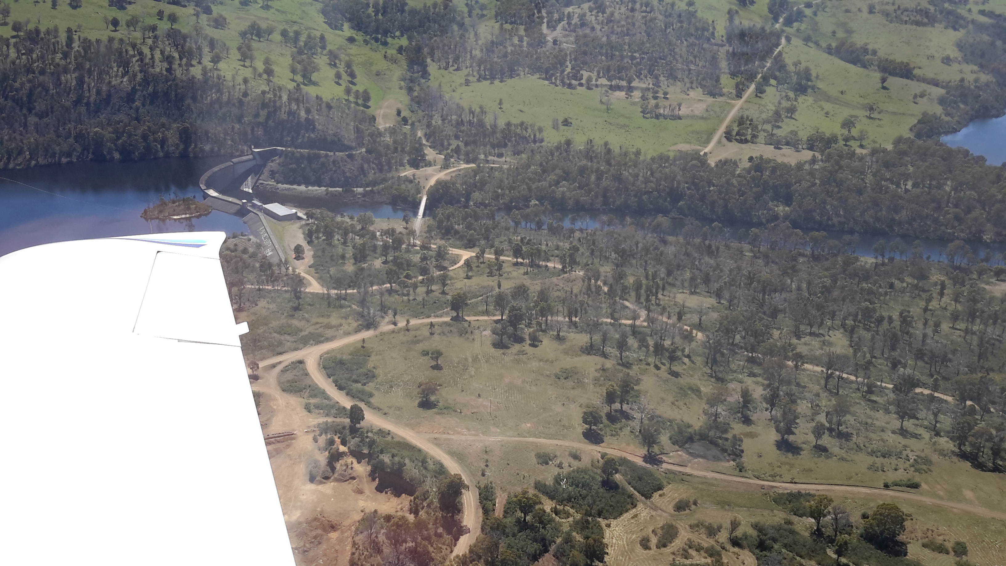
When I saw Catagunya Dam in the distance with the haze behind, I knew the seat of the fire was elsewhere.

20160210_081245.jpg

Later, I learnt the fire was over 70kms away in the south west of Tasmania.  Strong winds were responsible for creating the haze and even Hobart way east was blanketed similarly by smoke from the same fire.

Lake Repulse Dam to Catagunya Dam – posting 7 of 13

Even in a section that appeared to be cleared to the River, the edges were not negotiable, effectively preventing my access to the water of Lake Repulse.

20160209_131534.jpg

20160209_132711.jpg

In the location photographed above where the Lake is at the foot of the cleared land, after walking downhill eventually I had to give up my attempts at water access, and start a new uphill trek. I crossed a running creek, collected some brownish water in case my water supplies ran out, then continued the climb up another hill.

My activity sent a Rufus Kangaroo bouncing up and away. Obviously I had disturbed her midday sleep.

Some way up the hill I stopped to rest and sat looking down. A movement caught my eye.  A huge Rufus Kangaroo came into sight crossing the area where I had walked. I suspect he slept through my intrusion and was now looking for his mate.

Watch my video (takes over a minute) and look for the point where you first spot the kangaroo. When immobile he wasn’t always easy to see.  From time to time he is partly shielded by vegetation but you will see him bouncing first to the left, resting on a log with his ears twitching, then bouncing back to the right. When stationary, the bright light on his back helped blend him with the environment. Only his twitching ears gave him away when he rested his front legs/arms on the log.  Majestic. Comfortably natural in his environment.

I hope you enjoyed the sounds of the bush while you watched.

Lake Repulse Dam to Catagunya Dam – posting 6 of 13

I have been asked why I chose to walk on the eastern/northern side of the River.  Quite simply, that side looked easier.  Once on the walk I had grand views to the other side, and felt vindicated in my decision.  On the western/southern side dense virgin bush with no tracks or plantation forests covered the steep hills.

Looking to the other side1

Looking to the other side2.jpg

Looking to the other side3.jpg

20160209_115757.jpg

20160209_125404.jpg

20160209_125534.jpg

Even when the forests opened out, the terrain was rocky and treacherous on the other side of the water.

Looking to the other side4

Nevertheless the landscape was richly beautiful even when tampered with by mankind.  All the photos above remind me of the steepness of the terrain on ‘my’ side of the river, and the impossibility of accessing the waters of Lake Repulse.

Lake Repulse Dam to Catagunya Dam – posting 5 of 13


The forested areas gave me the greatest amount of work.

Treed section coming up

More treed forest.jpg20160209_111227.jpg

20160209_111237.jpg

Clambering up or down through the forests with a backpack changing my centre of gravity and catching on vegetation, swinging a stick in front all the while to relocate spiders, imagining tracks through the undergrowth and finding the cattle had created hundreds of intermeshed occasional pathways to and from nowhere useful for me, and the day’s temperature rising and passing 30 degrees all contributed to produce a constant world of challenge. Where I chose to walk, I struggled and strained yet I can see that my photos make the ground look smooth and trouble free.

20160209_114024.jpg

20160209_112856.jpg

My photographs show me how beautiful the forests were. Usually I focused on a small shrub, the trunk of a tree or a clump of grass as I walked but now that I am looking at my photos I can see the way the object of my attention fitted into a larger environment. In addition, I love seeing the way the light splits through the bush.

Lake Repulse Dam to Catagunya Dam – posting 4 of 13

One of the spiders and the predominant butterflies both attracted my attention because of their prominent orange colourings.  The landscape they lived in was dry and remote and I wondered if the spider’s colouring was a way of distracting or attracting the butterflies onto their web (can butterflies see in colour?).

The spiders caused me considerable work with my trusty walking stick, a stout branch I picked up early in my walk. I was forever circulating the stick in front of me to relocate the spiders and their webs to the side and let me pass. The spiders spread long thick stranded web lines between bushes and tall grasses and tree branches, and then spread their long legs in the centre of a normal circular web at around my chest level.  I guess the whole spider would be around the size of a 50 cent piece. Beautifully camouflaged against a vegetation backdrop coloured in browns, beiges and greys, the odd orange marking was the only way in which the spiders became visible.  You cannot see any of them in the photos below, but they were there.  Hundreds of them. Everywhere.

20160209_105953.jpg

20160209_112847.jpg

I checked the database of all Tasmanian Spiders and did not find a photo corresponding with my memory of the spider on the hills with the orange markings.  I was stunned by the high number of spiders endemic and imported into Tasmania, as listed on this comprehensive website.  I am not so much frightened of spiders rather I never enjoy eight legs running fast and uncontrolled over my body without permission.

An overview of Tasmania’s butterflies indicates 39 varieties are endemic.  After perusing Insects of Tasmania,  I believe the orange marked butterfly flying about the hills between Lake Repulse Dam and Catagunya Dam may be from the Genus Danaus and be commonly referred to as the Wanderer Monarch from the family known as the Browns  (Nymphalidae). But this is only a guess and the butterfly may have been one of the other ‘browns’ shown on this page of the website.

Perhaps a blog follower, as a specialist who knows Tasmania’s spiders and butterflies, can provide more information about the possibilities.

Surprise surprise … as  I type this post I ‘feel (imagine)’ things running all over me and I shudder at the horrible thought.

Lake Repulse Dam to Catagunya Dam – posting 3 of 13

The major landmark nearest to Lake Repulse Dam is Bilton Hill with its local telecommunications tower.  That didn’t help me much. I had no mobile phone or internet reception for the entire walk.  The area between Lake Repulse Dam and Catagunya Dam is an isolated remote part of Tasmania.

20160209_105315.jpg

I walked on, forever looking down unable not to watch the thousands of cricket insects jumping across the ground and around my legs.  Movements everywhere. Movements may signal a snake so I needed perpetual vigilance.  It was exhausting being alerted by the motions of the constant cricket hops and imagining a dangerous slitherer was the cause of the movement. Only once during the walk did I think I glimpsed six inches of a thick glossy black ‘rope’ disappearing into the undergrowth.  This is not something you check on to be certain.  You just keep going.

Lake Repulse Dam to Catagunya Dam – posting 2 of 13

Thanks to Ieky I was driven to Lake Repulse Dam.  I rounded a fence line and left her enjoying the early morning before the temperature rose.

20160209_095805.jpg

Gradually I walked up my first hill for the day.

20160209_100901.jpg

From the bottom of the hill, the top seemed easily achievable. Unfortunately, that view gave false hope. As I reached the first crest another rose above, and this continued to be the way the land was shaped.  Up and up I walked on the cleared land behind the steep forested section that rose from Lake Repulse.  Looking back, Lake Repulse Dam was hidden in the trees.

20160209_101447.jpg

The distant forward views offered the prospect of more uphills but not before I could see I would need to put in some ‘down time’.

20160209_101442.jpg

By mid-morning the day was stunningly beautiful.

20160209_102430.jpg

I began to realise any access to Lake Repulse was a dream.  The steepness of the hills and the dense forest coverage were significant impediments.  I could see the Lake but I couldn’t reach it.

Lake Repulse.jpg

Lake Repulse2.jpg

Sometimes I would walk down the hills towards Lake Repulse, and shudder when I looked back.  I knew that later I would be required to climb up to the height of that which I had dropped down from.  But I kept on trying to reach the water.  Down I would go.  Be stymied. Then up I would go either over cleared land or through forests.

20160209_105206.jpg

And the day grew hotter.  It was heavy going. Nevertheless, I recognised the big wide sky, the solitude, the hard sounds of crows, and the shape of the landscape were all immensely beautiful and beguiling. I felt awe at the size of the country, and marvelled at its colours and textures.  Who wouldn’t feel profound happiness to be alive in such a wonderful arena! What a privilege I have been given.

Lake Repulse Dam to Catagunya Dam – posting 1 of 13

This walk offered steep hills, challenging fences to navigate, endless webs across my path with an orange striped spider waiting to catch insects (or me), no access to fresh water, and worrying hazy smoke spreading from bushfires elsewhere in Tasmania.

The start of my walk began above the steep forested edges of Lake Repulse Dam (photo below courtesy of Chantale).

IMG_3893Repulse Dam.JPG

Inland, past the Dam on the eastern/northern side, the landscape is a mix of forest and land cleared for cattle.  The photo below was taken by Michelle. I walked on the right hand side of the water. Note the thick forest along the water edge.  Note the steepness of those banks.

PA280087 Repulse dam.JPG

The photo below, which looks back in a south easterly direction to Lake Repulse Dam, was taken later last year when the grass was green rather than dried and spiky as it was during summer when I walked.

20151028_114913.jpg

The cleared areas are deceptive. They look easy to walk. Despite holding only a grassy coverage, the ground of these cleared areas was irregular and uneven, and it was always inclined up or down – all of which made walking slow.

20151028_114958.jpg

20151028_115002.jpg

PA280088Lake repulse.JPG

My walk crossed cleared lands and passed through forests.  Wherever I went, either I was climbing up or down 200 metres of hillside. Even the lower undulating hills plucked at my leg muscles. For me “hills ain’t no fun”. Eventually I reached the large Catagunya complex of Power Station, Dam and Lake.  Photos below were taken by Michelle and by Chantale respectively.

PA280090Catagunya Dam.JPG

IMG_3889Catagunya dam.JPG

Lake Repulse Dam and the wooden bridge

I knew I was near the end of the walk when I sighted the concrete top of Lake Repulse Dam.

20160124_155833.jpg

20160124_155838.jpg

I continued walking until the single-lane bridge over the Derwent River came into view.

20160124_160348.jpg

20160124_160405.jpg

20160124_160450.jpg

I expected little traffic in this area so I walked onto the bridge for a good look down towards Cluny Lagoon and then upstream towards the Dam wall and the water being disgorged at its base.

20160124_160548.jpg

20160124_160531.jpg

20160124_161038.jpg

20160124_161143.jpg

Future postings will contain the detail and show photos of my walk through the bush along the top right of the dam wall as I headed inland around Lake Repulse Dam towards Catagunya Dam.

20160124_160617.jpg

20160124_161146.jpg

20160124_160650.jpg

When I was standing close to the dam wall, I was able to look back to the wooden bridge.

20160124_161155.jpg

I felt privileged to see this wooden bridge which must be one of the few left around Tasmania.  I imagine that in not too many years’ time, a ‘modern’ metal one will replace it. Meanwhile this sturdy piece of engineering is a very attractive find located not so far from the Lyell Highway.

Closing in on the Lake Repulse Dam

As I closed in on the western end of Cluny Lagoon and the Lake Repulse Dam, I was able to walk lower down nearer the water.  Sometimes a strip of vegetation made accessing water a challenge, whereas in other places, anglers had made their own access paths.

20160124_153616

20160124_153650

20160124_154257

20160124_154359

20160124_154510

20160124_154526

20160124_154543

For the last few hundred metres to Lake Repulse Dam, it was easier to walk on the gravelled surface of Lake Repulse Dam Road than to push my way through the bush on the steep uneven river bank.

20160124_155245

20160124_155440

Starting out for the walk to Lake Repulse Dam

I chose to walk to Cluny Dam from a gated entrance road and then head back westwards all the while walking next to Cluny Lagoon towards my goal which was the Lake Repulse Dam.

To reach the start of the walk, and thanks to Megan, I was driven down the main gravel road from the Lyell Highway (you need to turn off left after the town of Ouse) until we came to a junction indicating the two dams.

20160124_150725.jpg

Of course, we drove down the Cluny Dam road until it was time for me to start walking. The road to the Cluny Dam is blocked by a gate so if you wish to follow in my footsteps, you should obtain permission from Hydro Tasmania.

20160124_150624.jpg

20160124_145612.jpg

The day was marked with rain on the horizon and sometimes a few spots lightly dropped on me. The rain showers softened the distant relatively undisturbed bush landscape in stark contrast to the crisp dry yellow grasses on the cleared land around me.

20160124_140328.jpg

20160124_140454.jpg

The blue of Cluny Lagoon, through which the Derwent River runs, was ever present.  As usual the water uplifted my spirits.

Cluny Dam, Cluny Lagoon and Lake Repulse Dam

Walking between the two dams is an easy stroll offering dramatic vistas as the Derwent River twists and turns its way through Cluny Lagoon. You can expect to read a series of posts about this little walk – which filled one of the gaps in my trek from the mouth to the source of the Derwent River.

Chantale’s aerial photos below show Cluny Dam, Lake Repulse Dam and then some of the water rushing towards Cluny Lagoon.

IMG_3895Cluny dam.JPG

IMG_3893Repulse Dam.JPG

IMG_3894.JPG

Michelle’s photo shows some of Cluny Lagoon snaking in a fat shape behind the Dam, and then closer to Lake Repulse Dam.

PA280086Cluny dam and lagoon.JPG

OLYMPUS DIGITAL CAMERA

OLYMPUS DIGITAL CAMERA

My photos below show Cluny Lagoon backed up onto Cluny Dam, and the Derwent River let run from Lake Repulse Dam and heading towards Cluny Lagoon.

20151028_114827.jpg20151028_114858.jpg


Taking stock

I feel emotional when I remember my recent walk to the source of the Derwent River. I had promised to write the stories and post them within days, but since returning I have felt overwhelmed by my breathtaking and wonderful experience and afraid to start writing.  In addition, I claimed to have walked the majority of the river’s length and I was afraid the claim was unfounded.

Today I have made the calculations and posted an update on the pages ‘How far have I walked’, ‘Frequently Asked Questions’ , and ‘The inspiration for my walk’ . To summarise, while I had hoped the number would have been closer to 100%, the fact is I have covered a smidgin over 2/3rds of the 215 km length of the Derwent River.

Of the remaining 70 kms, by my reckoning approximately 25 kms can be achieved relatively easily across farming or forestry land subject to permissions.  However, the remaining trackless, uncleared densely forested 45 kms of river edges may be a challenge I cannot rise to.  Blog followers may recall reading my earlier post Where is the source of the Derwent River? which introduced George Frankland’s discovery party’s finding that some of the bush between the area now known as Lake Repulse Dam (which did not exist when he was around in the early 19th century) and Butlers Gorge provoked a huge effort for grown men to cover little distance.  The landscape hasn’t changed since then.

Regardless, and as usual, my plan will be to continue walking.  But before then, I will share new posts and photos taken during my recent walks.  As a taster, the photos below shows forest and ferns in the Lake King William vicinity.

20160103_092208.jpg

20160103_102339.jpg


Gretna to Lake Repulse Dam – an aerial perspective: 3 of 3

The Cluny Dam holds back the water of Cluny Lagoon, and pumps it through the Cluny Power Station.  At the western end of the Lagoon the wall of the Lake Repulse Dam rears high.

Between Cluny Dam and Power Station and Lake Repulse Dam, Michelle saw:

PA280086Cluny dam and lagoon.JPG

PA280087 Repulse dam.JPG

Between Cluny Dam and Power Station and Lake Repulse Dam, Chantale saw:

IMG_3895Cluny dam.JPG

IMG_3894.JPG

IMG_3893Repulse Dam.JPG

Between Cluny Dam and Power Station and Lake Repulse Dam, I saw:

20151028_114827.jpg

20151028_114747.jpg

20151028_114858.jpg

20151028_114913

When walking along the edge of the Derwent River, I am not so conscious of the constant winding of the river around the hilly landscape as when I look at the photos in this and the last two blog posts.  The beauty of this snaking quality is that as I take each step, new vistas become visible.