The Derwent River at Wayatinah

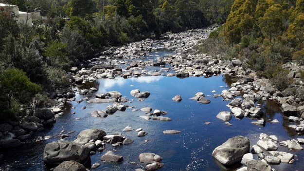
From my aerial experience, I know the river looks like this all the way north-westwards of the Wayatinah Lagoon to Clark Dam at Butlers Gorge; a distance of not much less than 30kms in very steep country with numerous creeks cutting the landscape and flowing into the Derwent River. In the post introducing George Frankland’s walk, mention was made of the Nive River. The Nive flows into the northern end of Wayatinah Lagoon. Before the Wayatinah dam was built, the Nive flowed directly into the Derwent. The river edge between Wayatinah and Butlers Gorge is where Frankland and his expedition found two to four miles per day was the going rate because of the density of the bush. And then they gave up and walked inland away from the Derwent River.

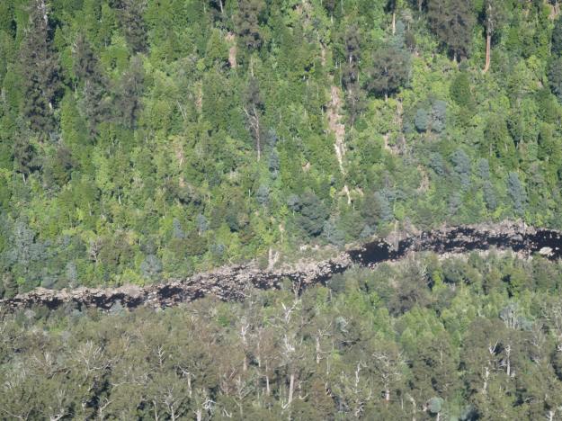
 A couple of Chantale’s aerial photos show similar rocky beds along this remote and wild part of the Derwent River.