Tag Archives: Gretna

Who am I?

Increasingly blog followers have questioned my enigmatic no-name status.  I have been secretive about my identity to protect myself from predators and weirdos. My surname is so rare that I wouldn’t want someone to track me to my house. When the walk was over I intended to reveal and explain more about myself so everyone could understand why I presented myself only as Tasmanian Traveller.

Despite this approach, for people who have emailed me, I have opened up a little more.  For the woman from upstate New York who visited me and asked to walk on some of the sections she had read about in my blog,  of course she got to learn so much more about me.  And she, and others, have been most respectful and careful to keep my gender and characteristics neutral and non-identifying. Thank you.

Now that the process for my walk from the mouth to the source of the Derwent River is evolving, I no longer see a need to retain my protective shell.  From now on, there will be safety in numbers as I walk with one or more friends.

So who am I?  My name is Helen Tyzack and I come from a working history in the visual arts and museology industries, plus an overlay of working in or for many different types of education institutions, government agencies and not-for-profit organisations.  All my life I have walked to get around, keep costs down, to be kinder to the climate, and to experience the beauties of the natural environment at close quarters. A few years ago I sold my car and have walked or used public transport ever since.  As a female, I have wanted to walk alone in remote and isolated country and by maintaining my anonymity this has been comfortably possible.  I am on the mature side of 60 years of age, short in stature with an overweight body, various health challenges and perpetual problems with my feet.  But I refuse to let these characteristics and impediments prevent me living; they slow me but they do not stop me. I will not let them stop me. I am energised by the possibilities of discovering new places, and my walk along the Derwent River has exceeded all my expectations. In recent years I have flown off to different countries around the world to learn and experience new adventures.  It has been one of the greatest surprises that the Derwent has offered so many revelations that the thought of overseas travel has been halted.  I guess it is always easier to think somewhere else will be more interesting yet a place right on your own doorstep can offer ‘the world’.

Helen at Otago Bay 2014

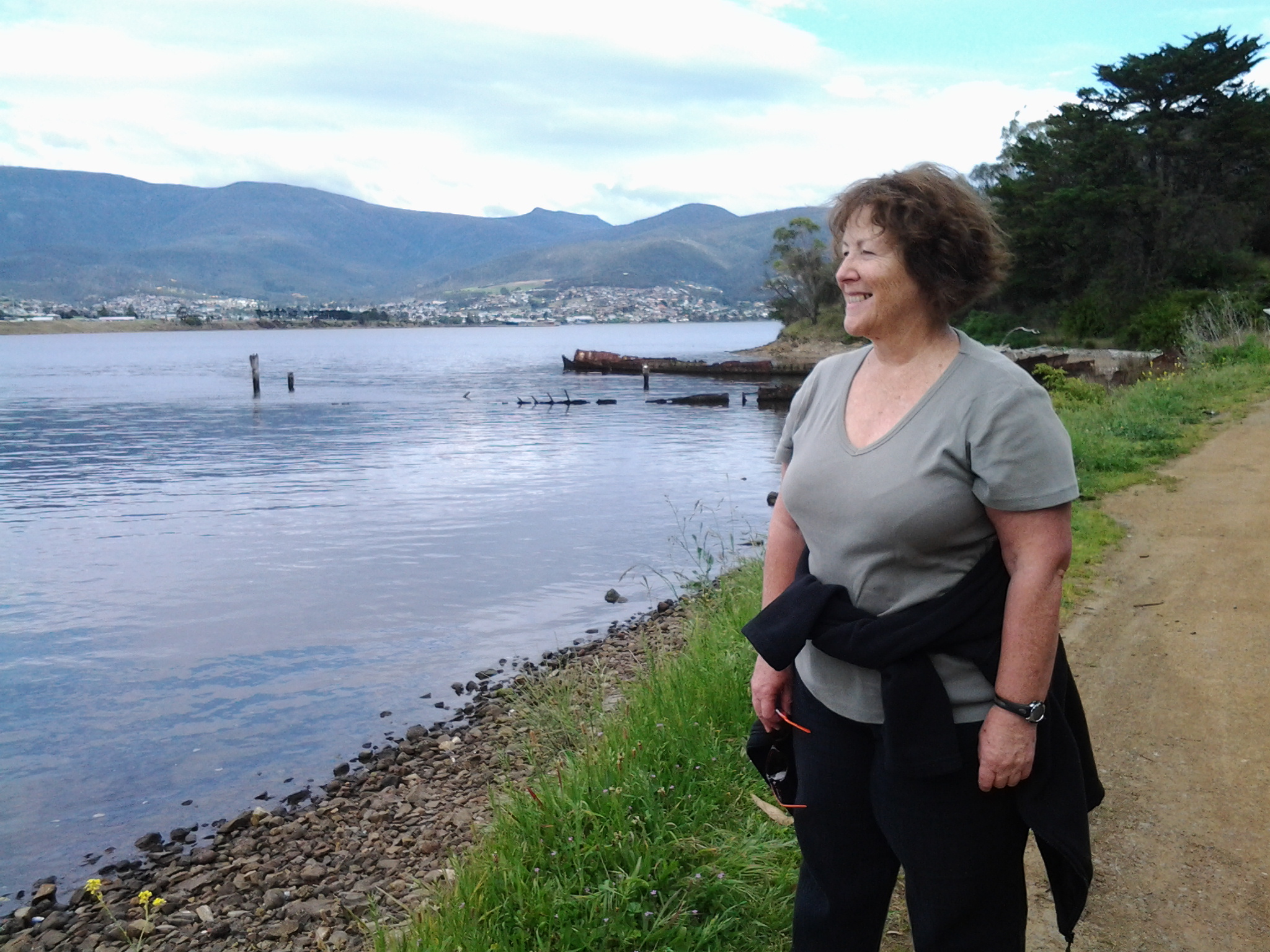
The photo of me above was taken by a passer-by as I walked past Otago Bay at the end of last year on Stage 7 of my walk along the Derwent River.

For each of the 15 walking stages completed so far, I have walked alone and independently, and have only been supported by public transport when buses deposited me at a starting point and collected me from each walk’s destination. I have realised this practice cannot continue because of the limited public transport options available in central Tasmania. As an alternative, I have decided to try a UBER-style approach to transport – friends are offering to be my chauffeur and in some cases they are offering to walk with me.

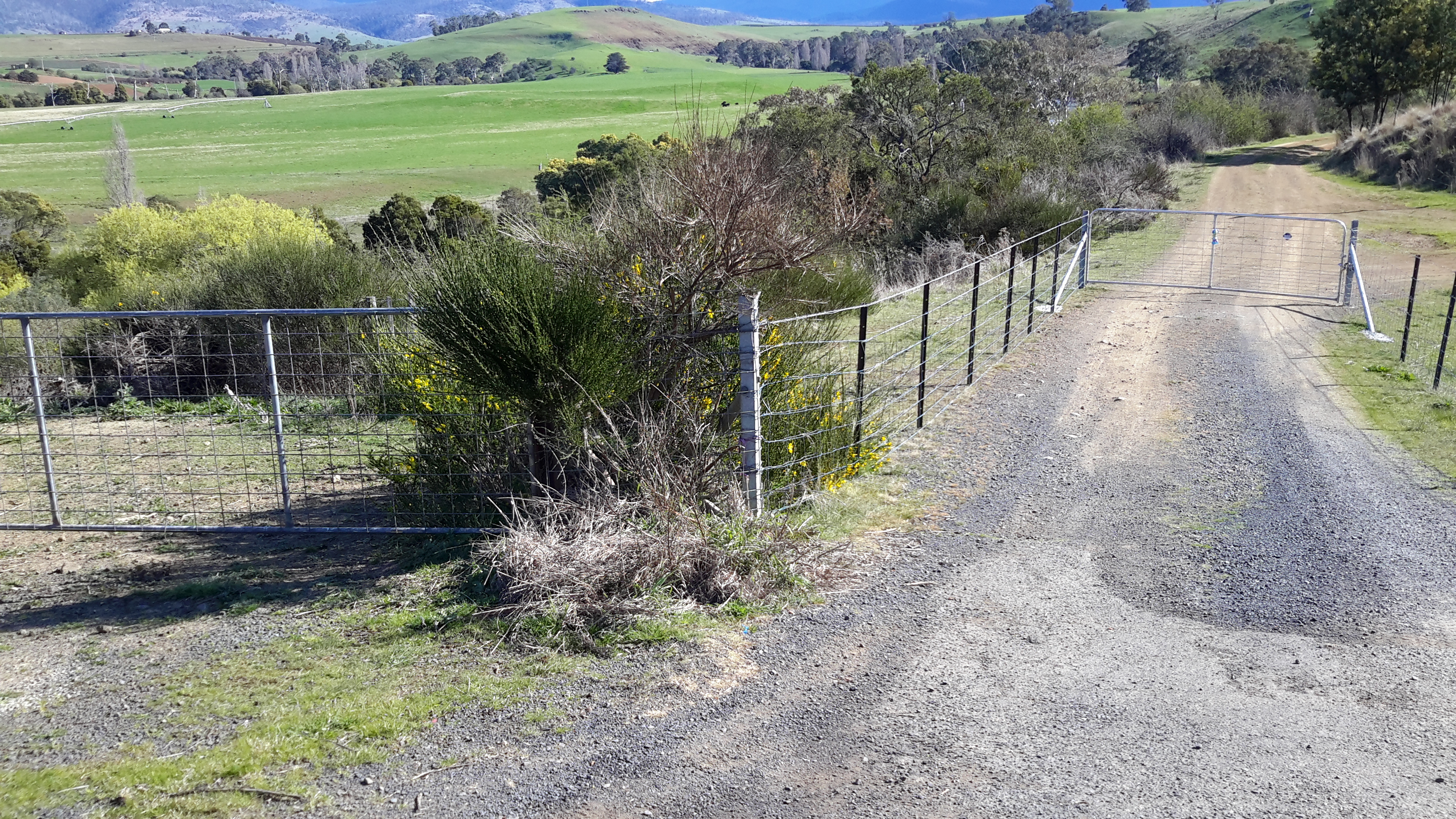
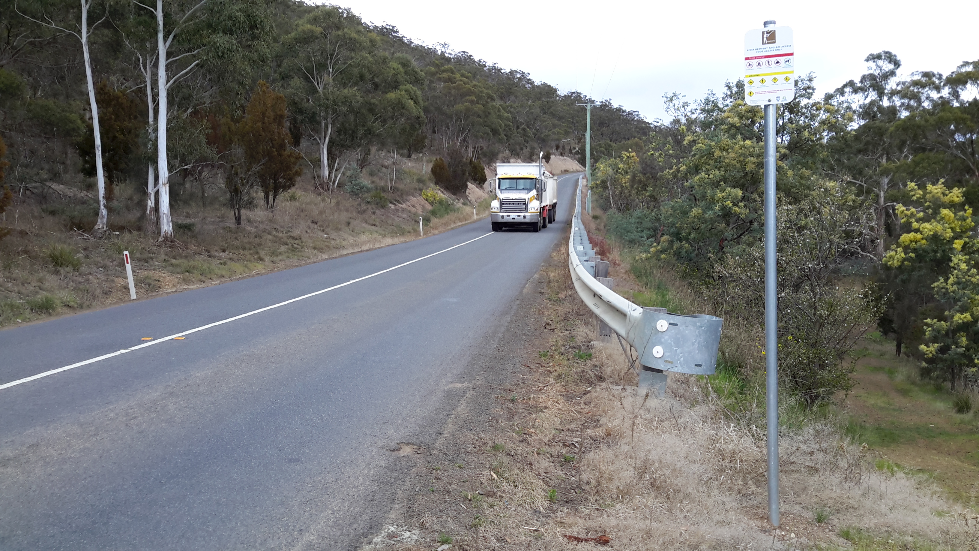
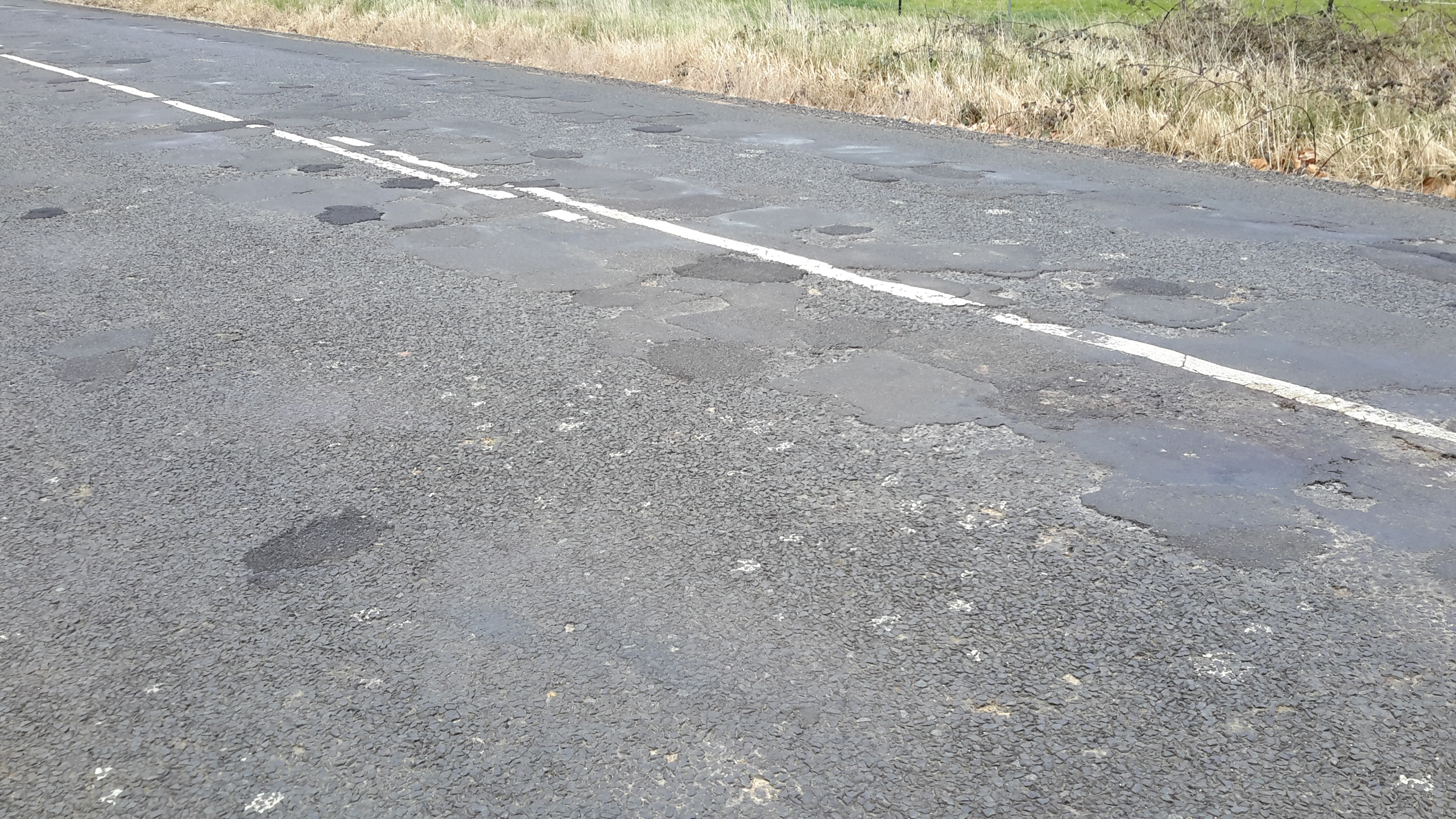
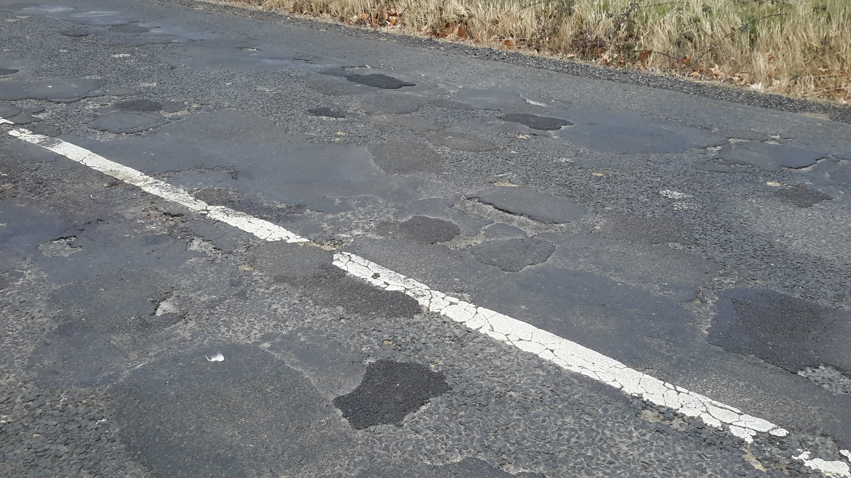
To cope with the constraints of private property restrictions, I am working with locals and others to obtain various kinds of alternative access to the Derwent River.  No project ever goes totally to plan and that is the joy of exploration: discovering new ways to meet changing personal expectations keeps my brain active and my mind vitally alive.

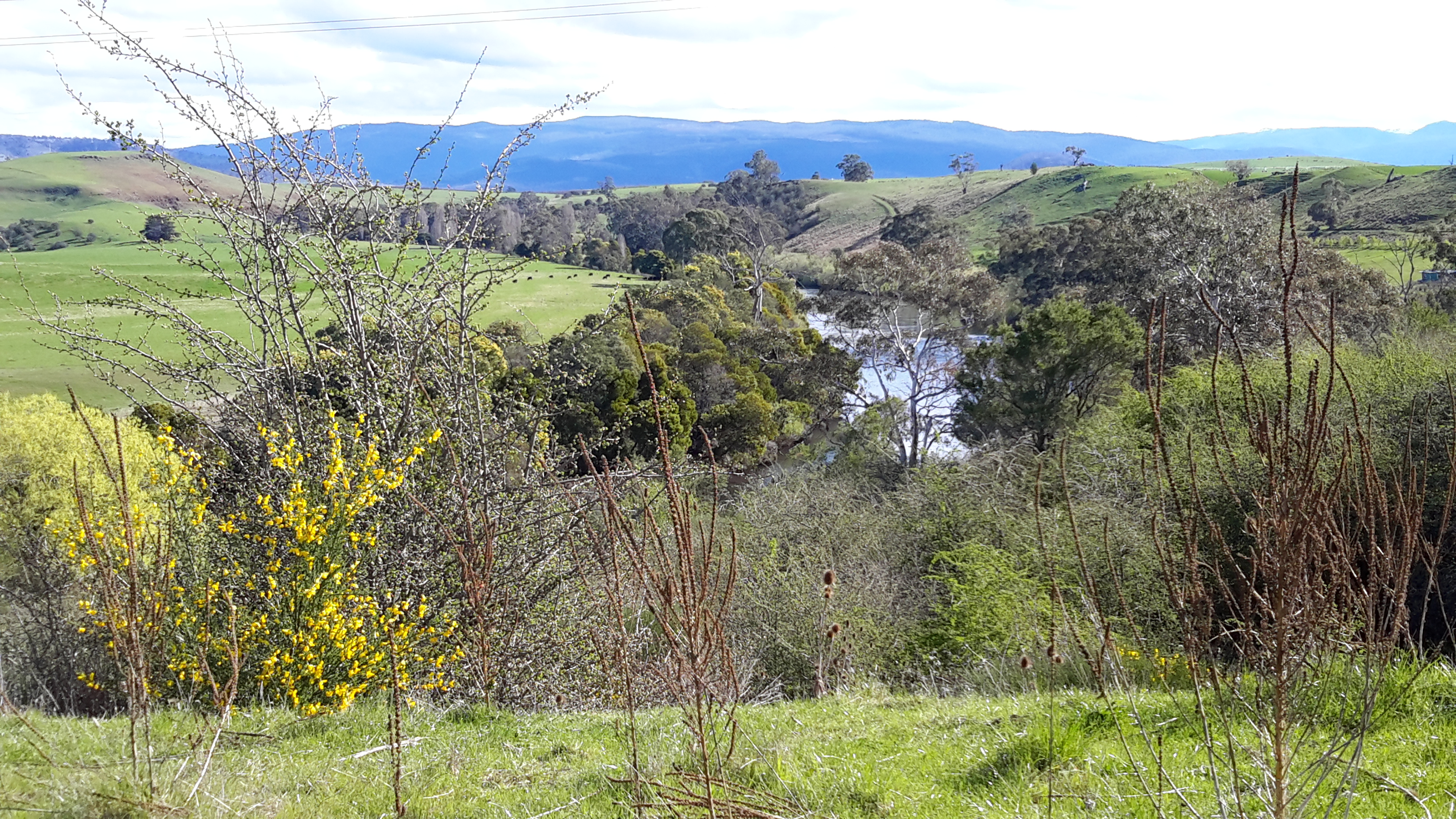
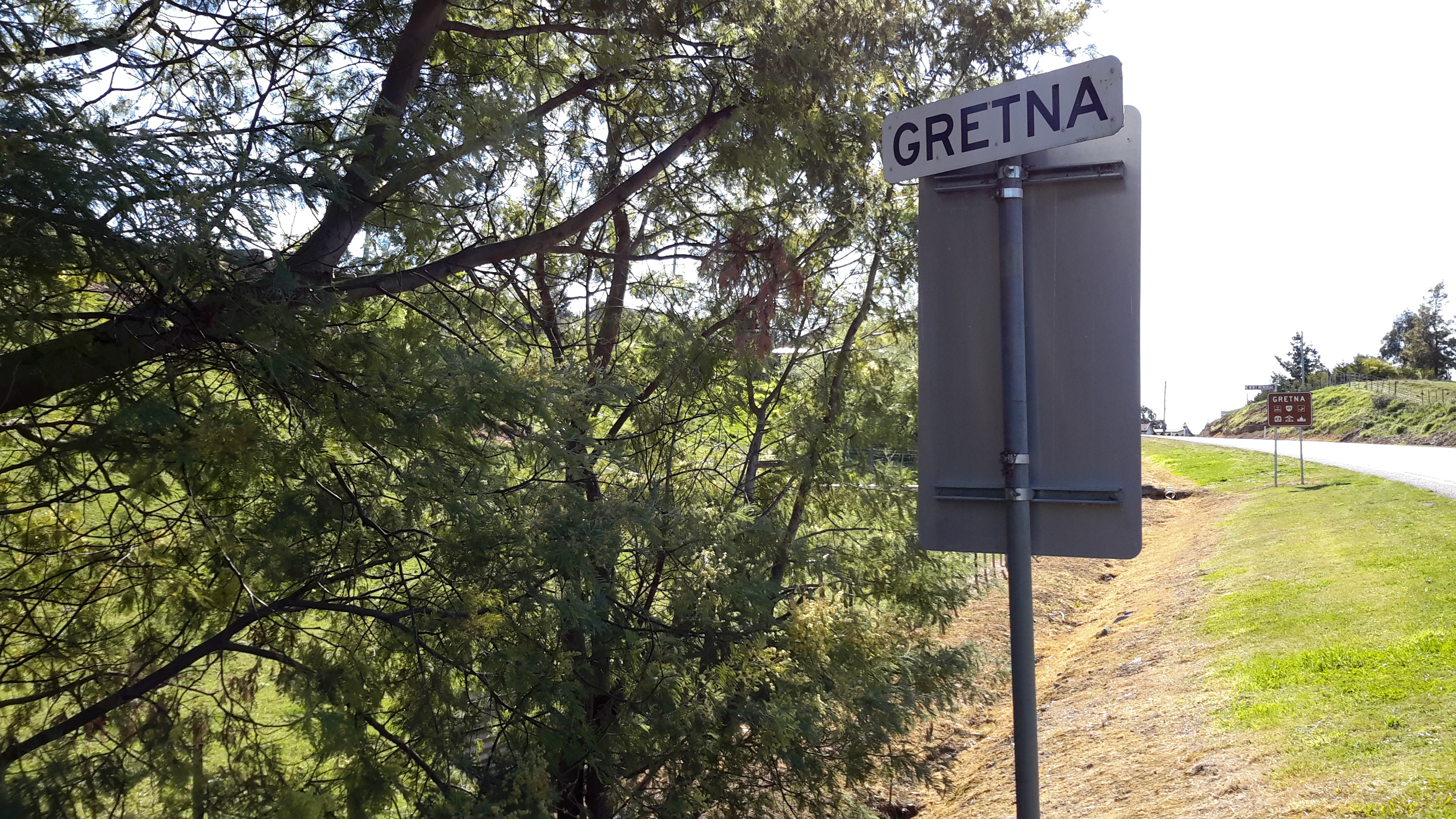
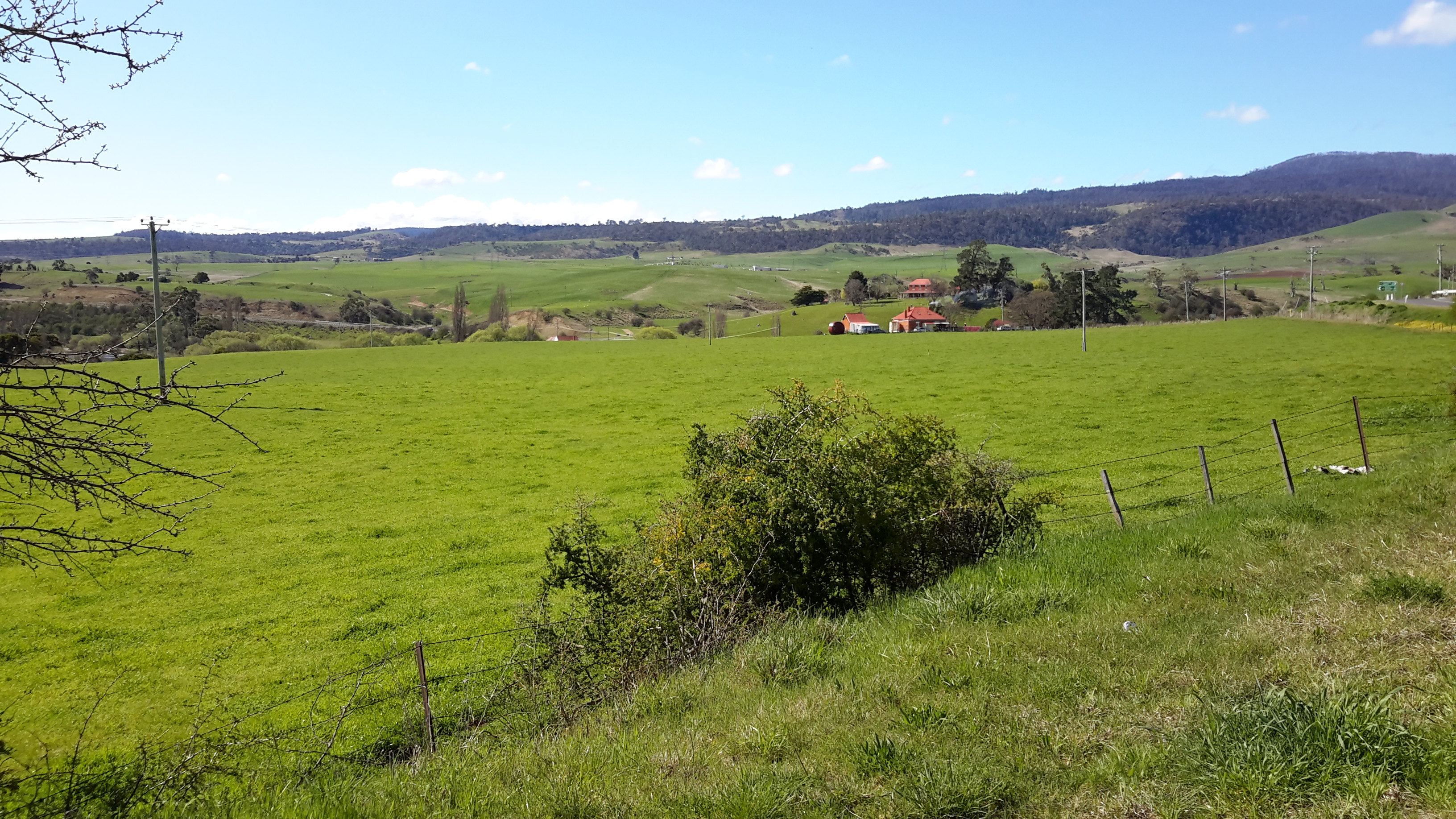
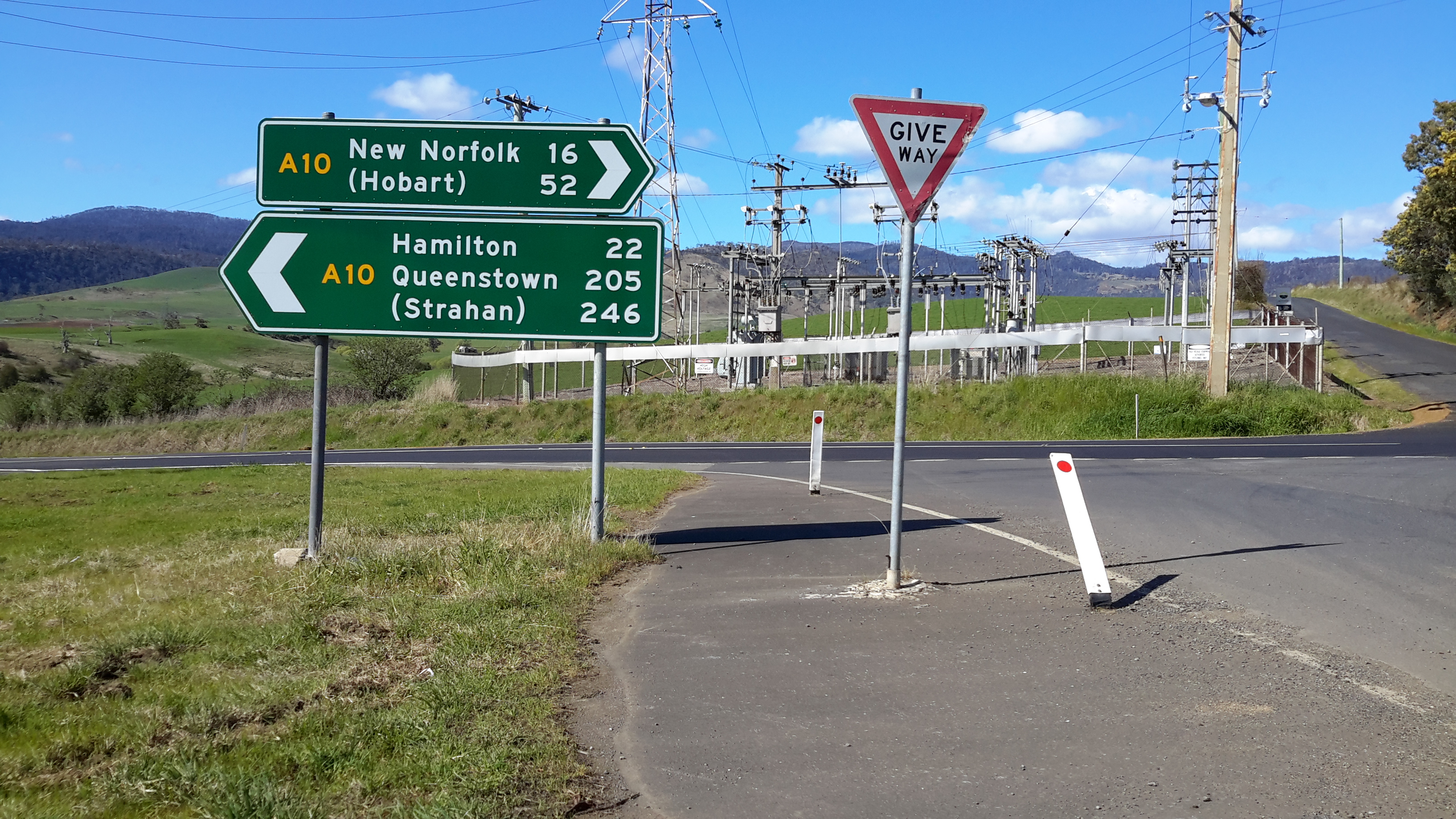
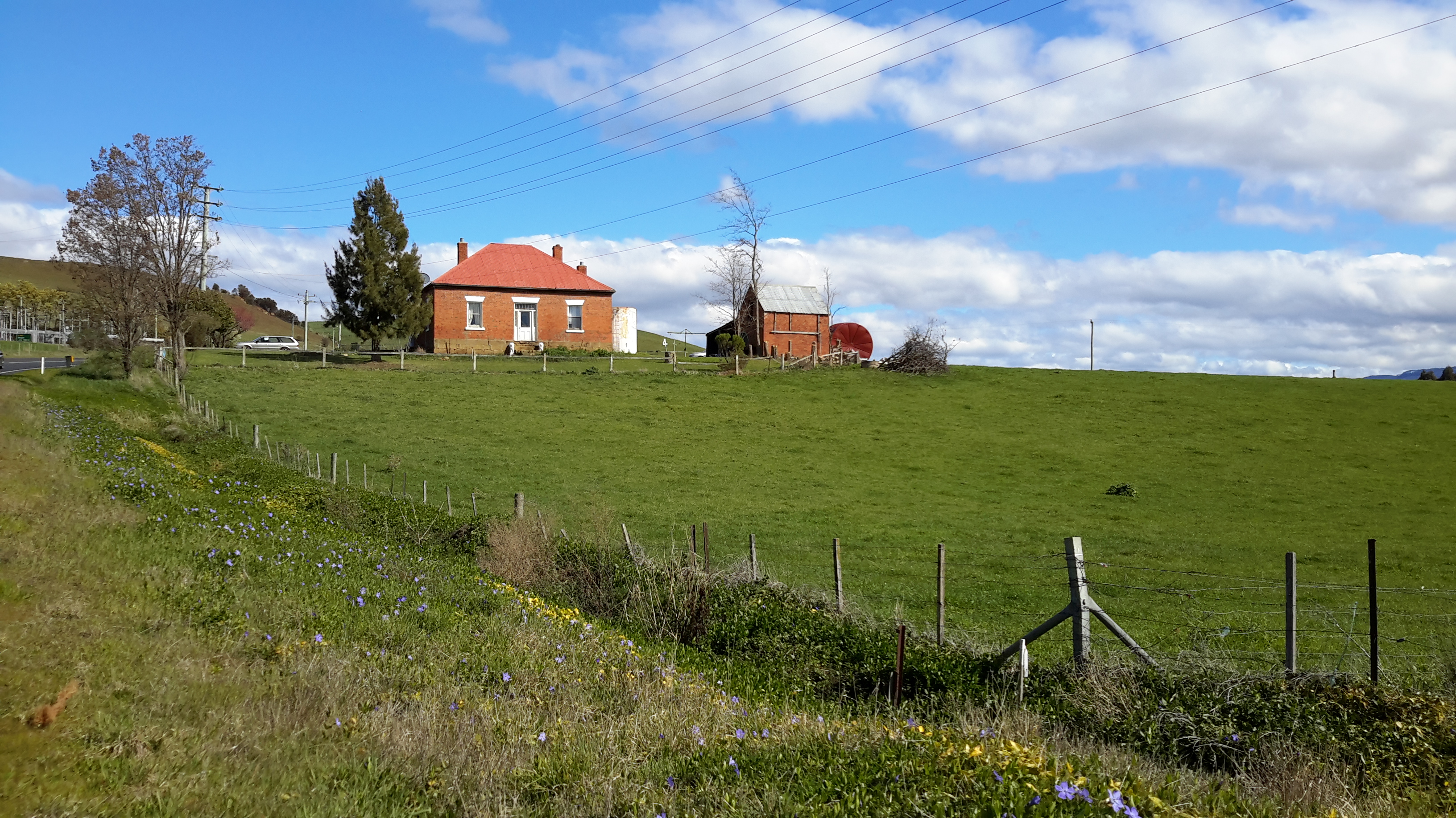
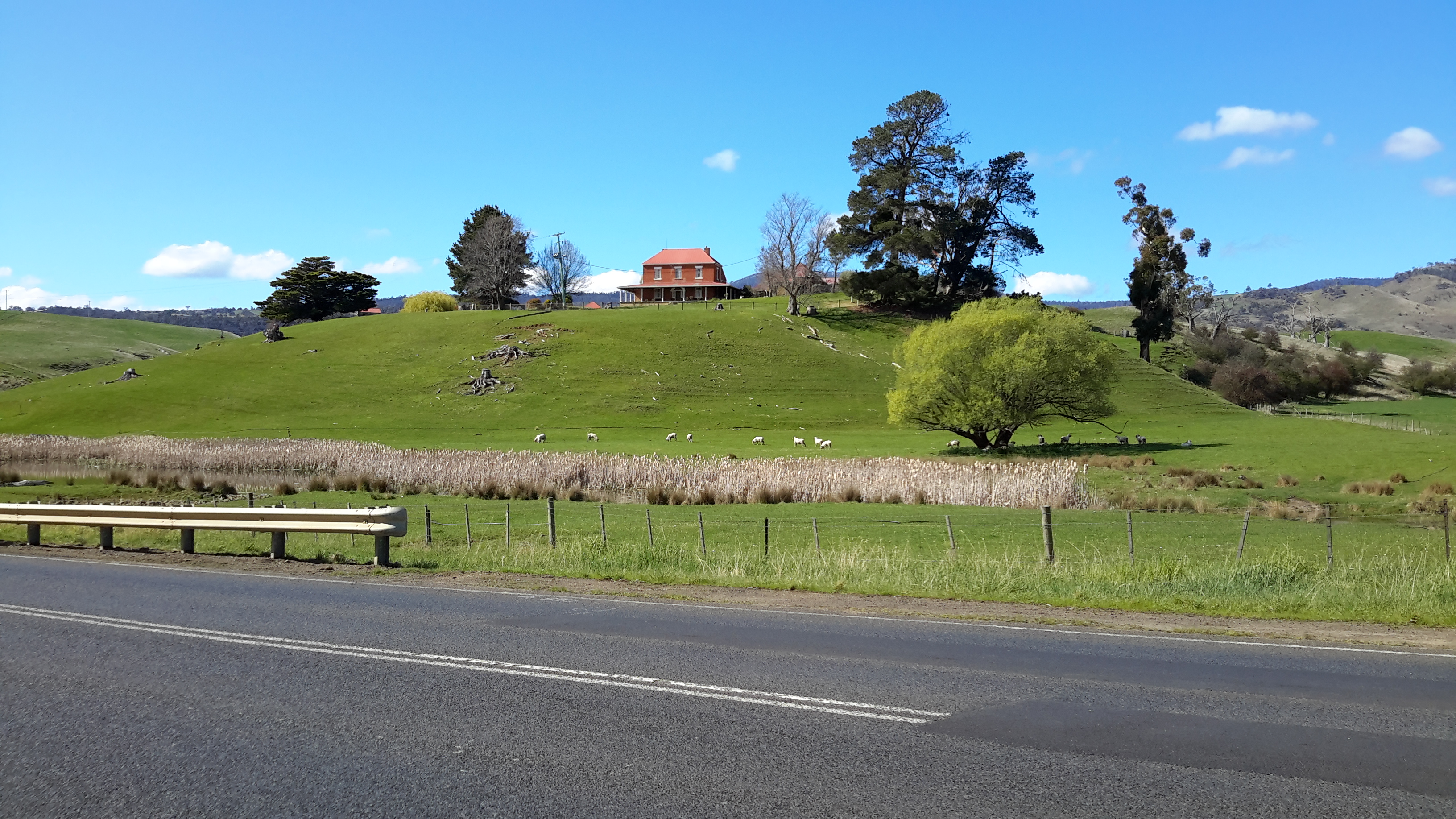
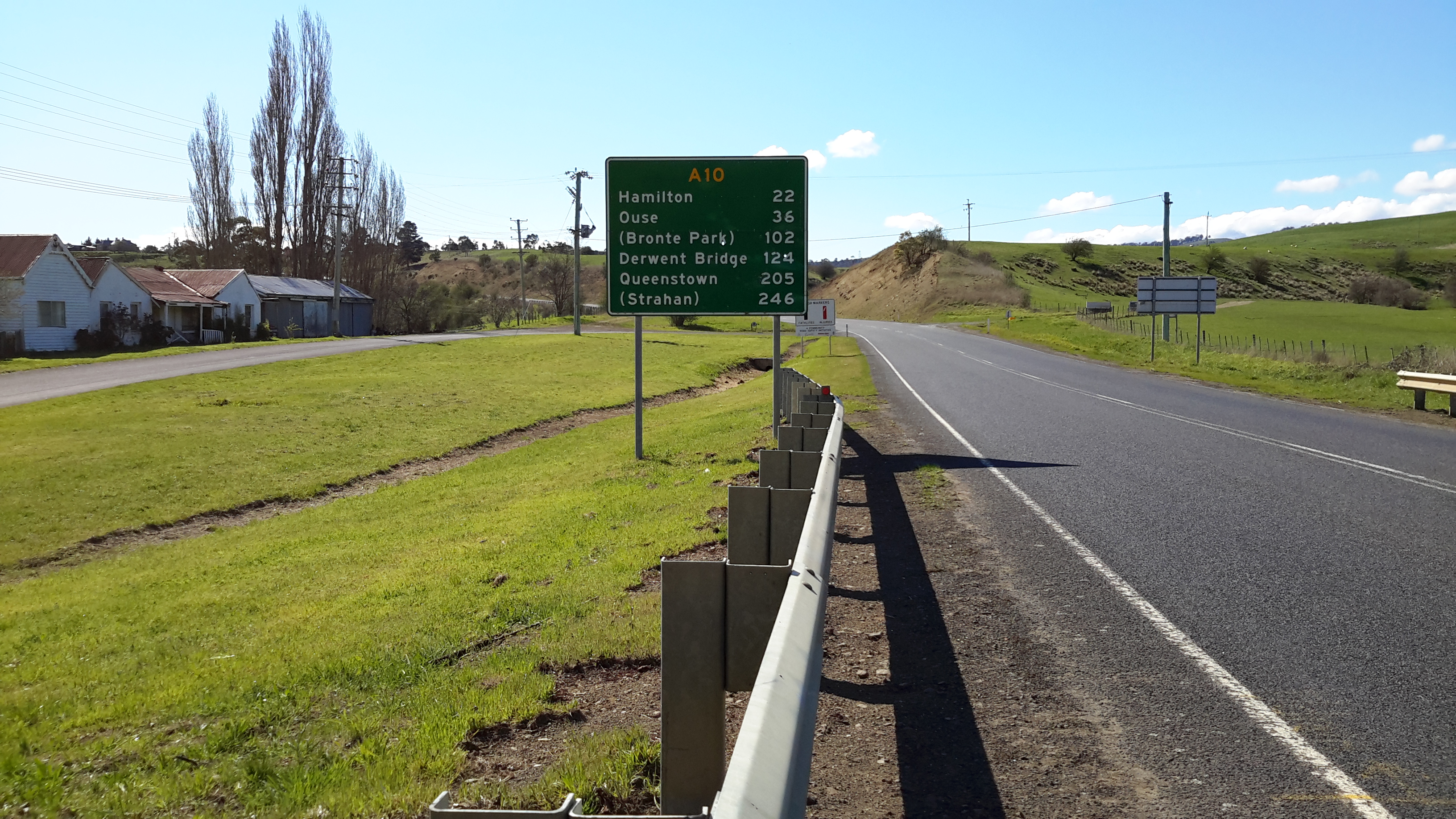
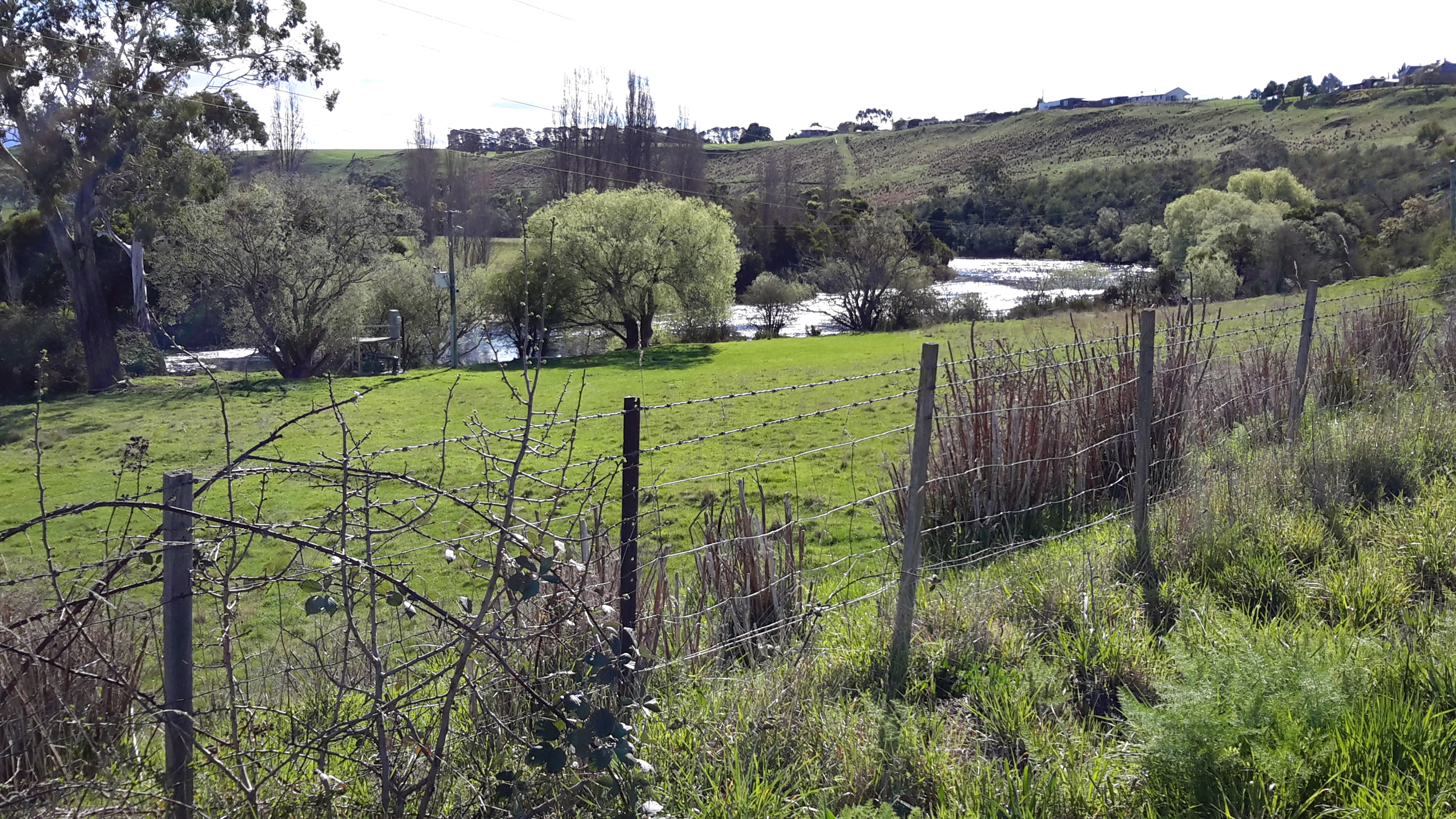
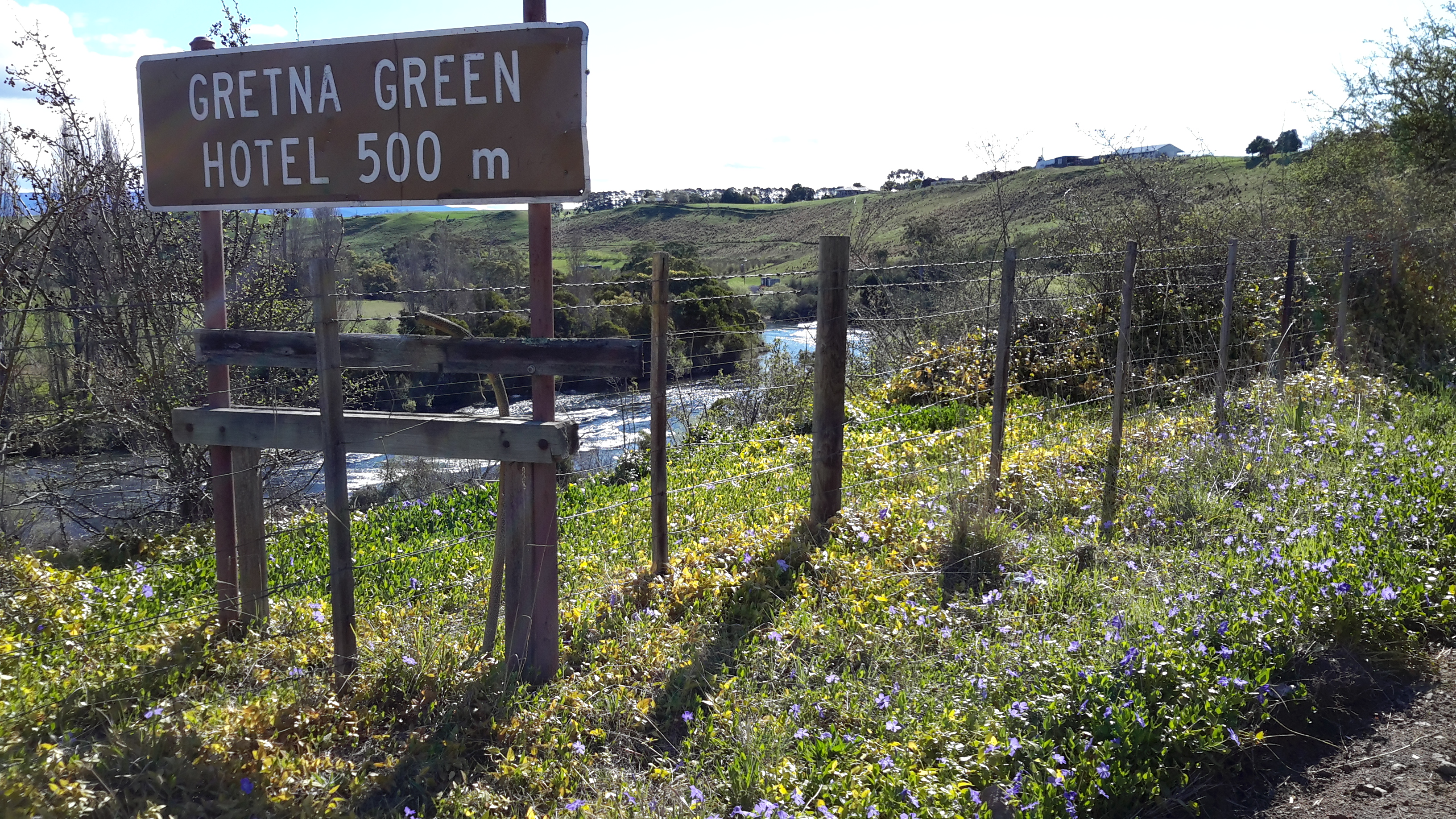
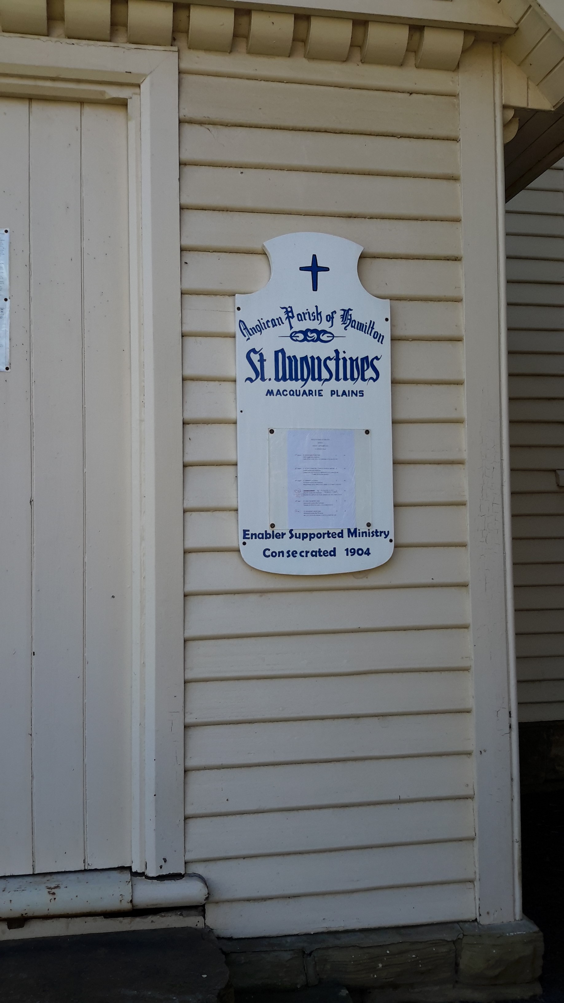
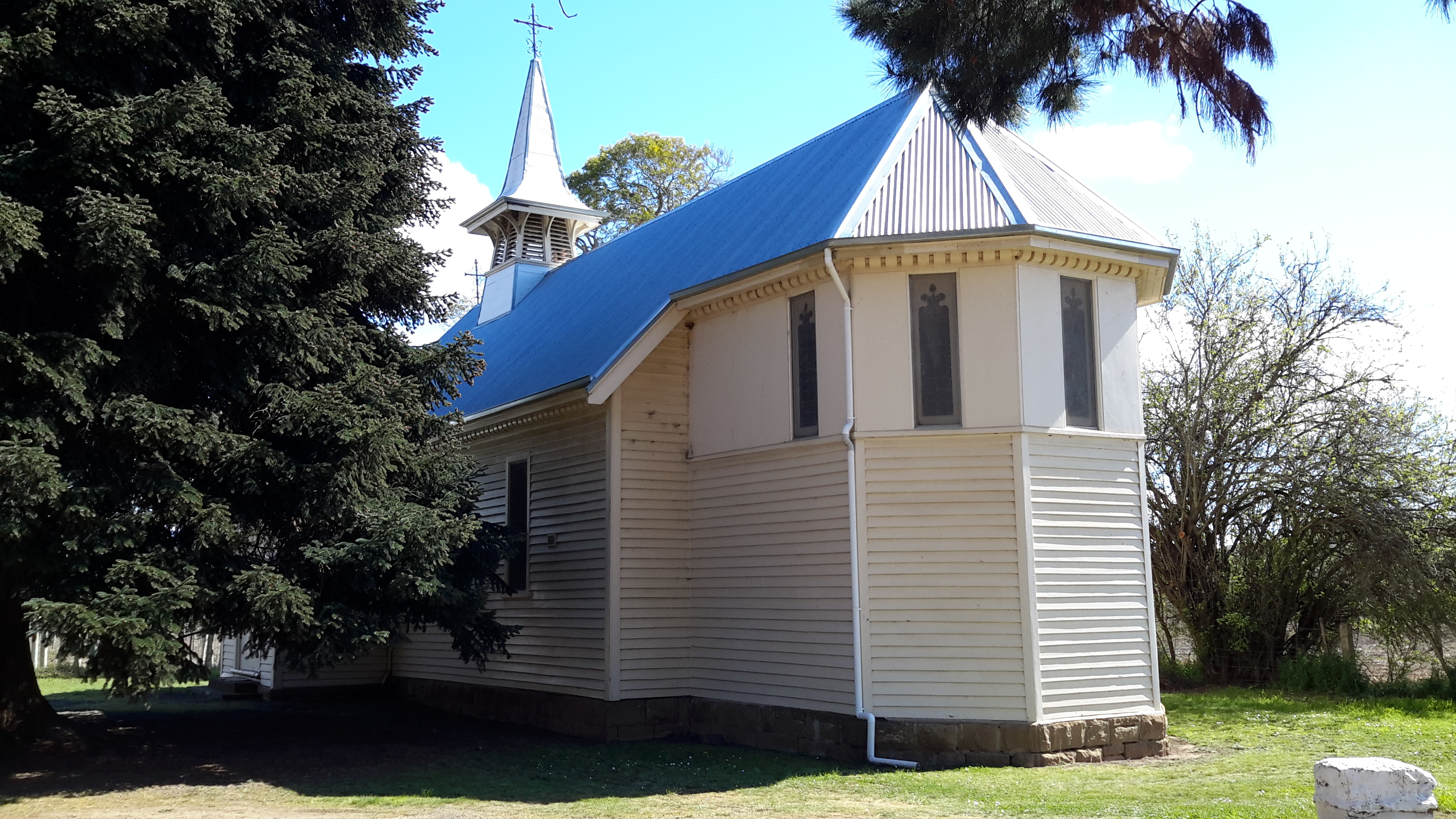
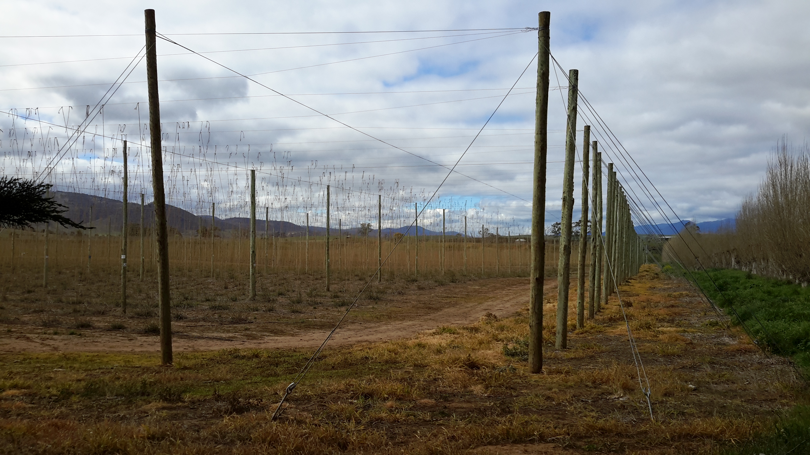
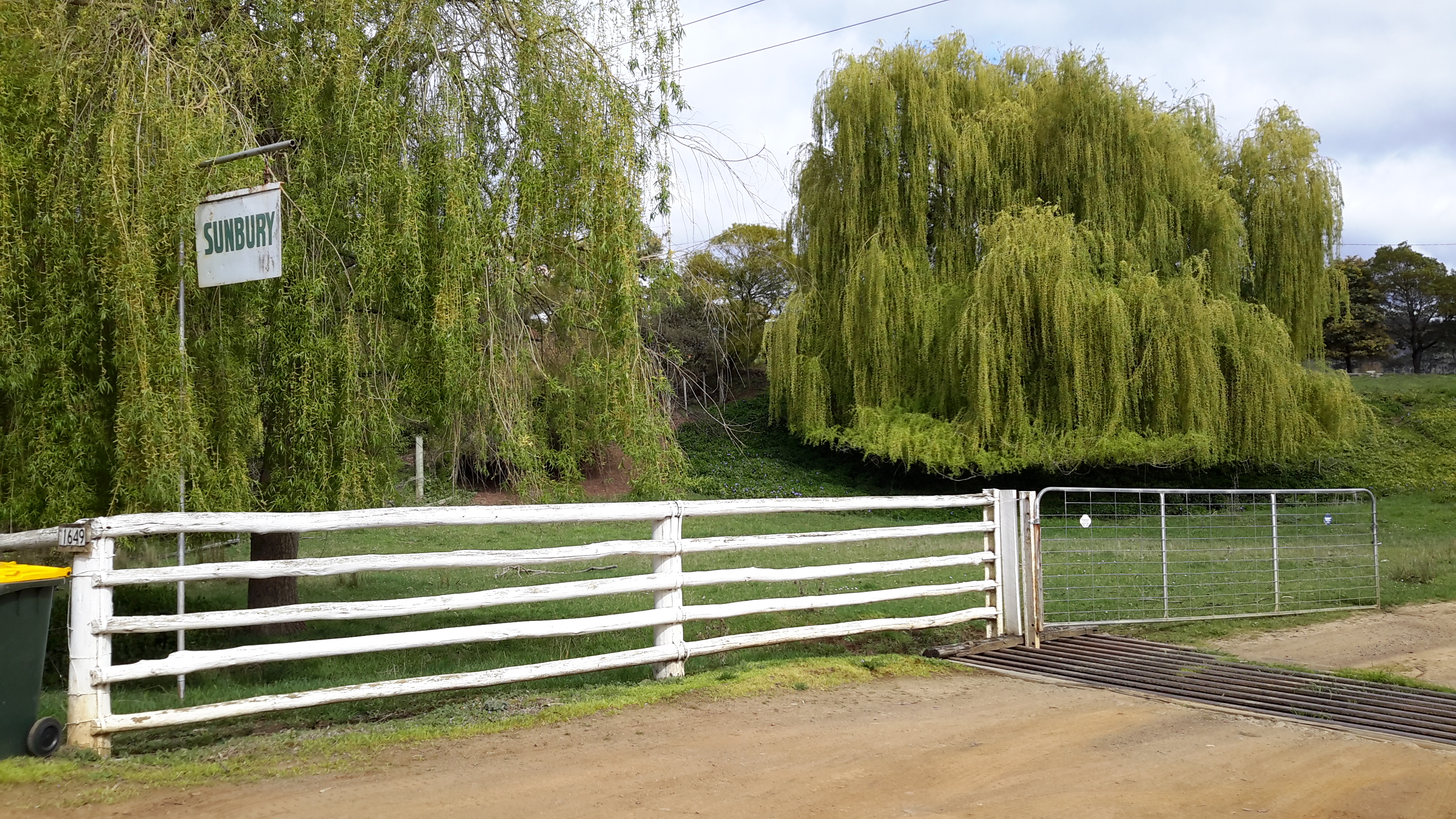
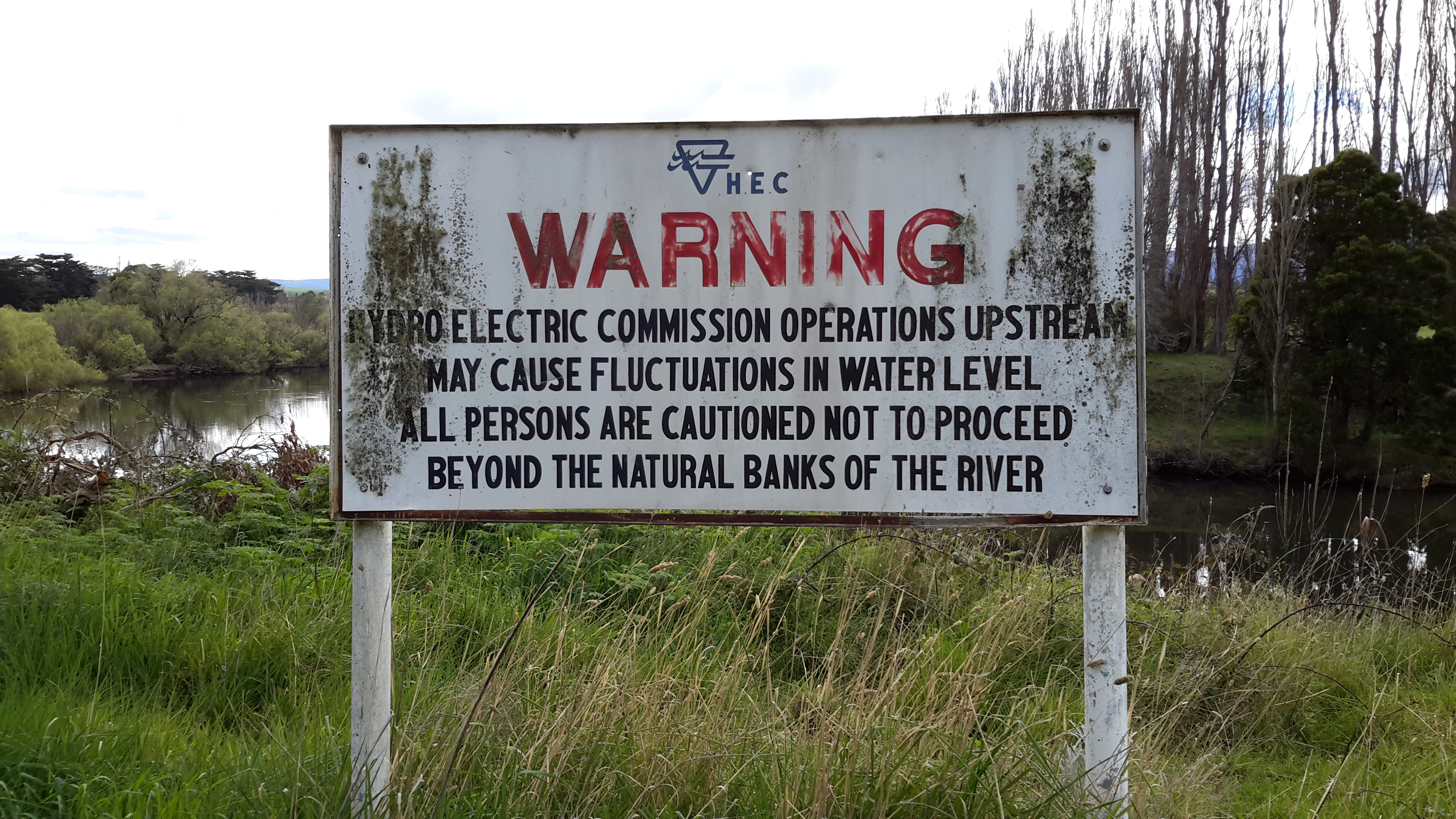
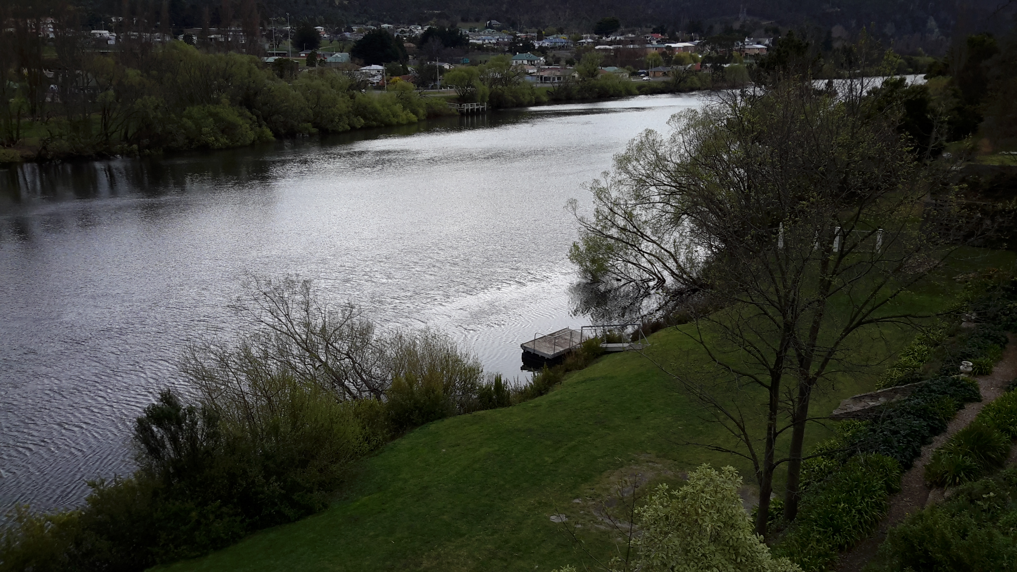
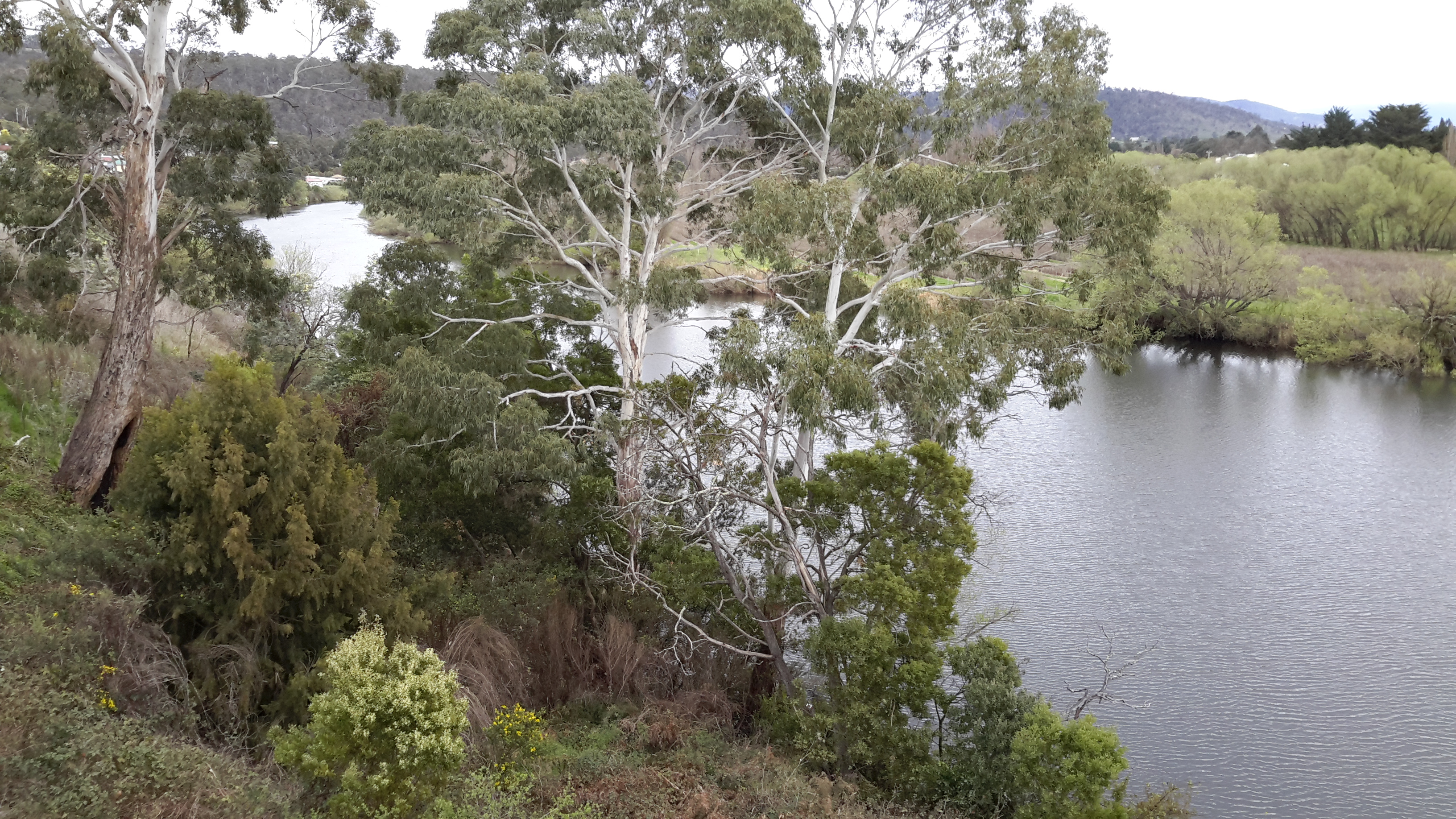
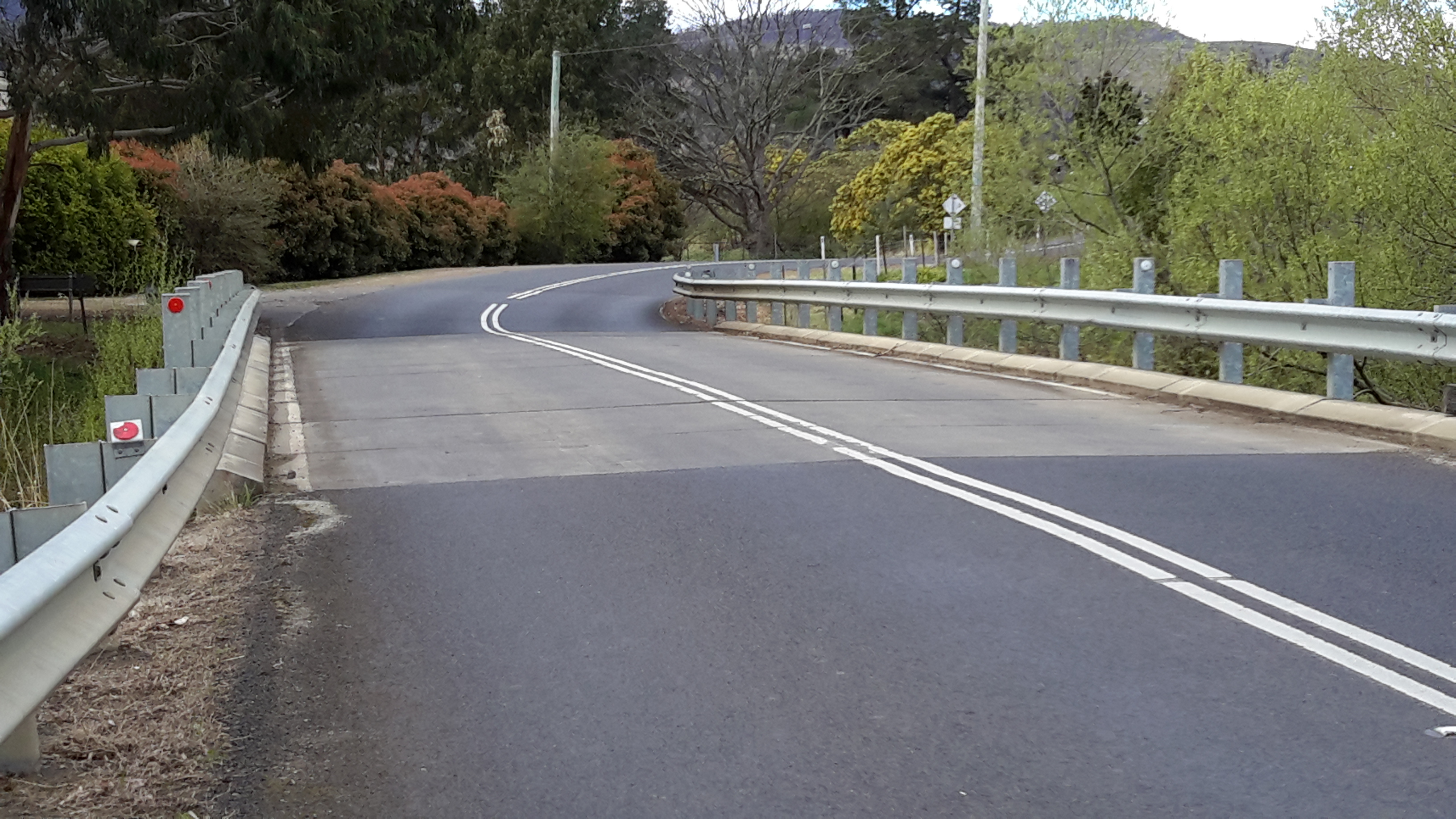
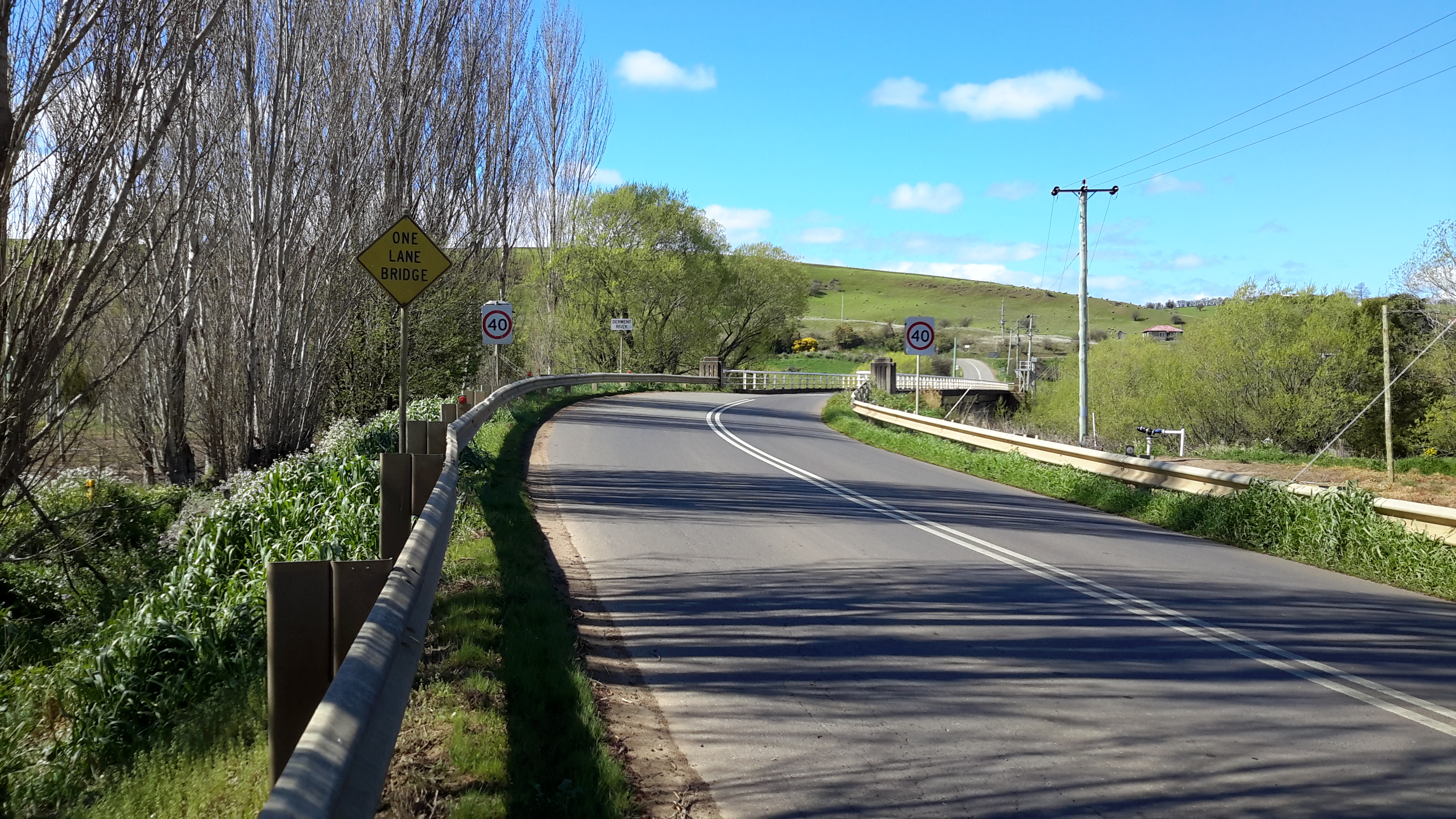
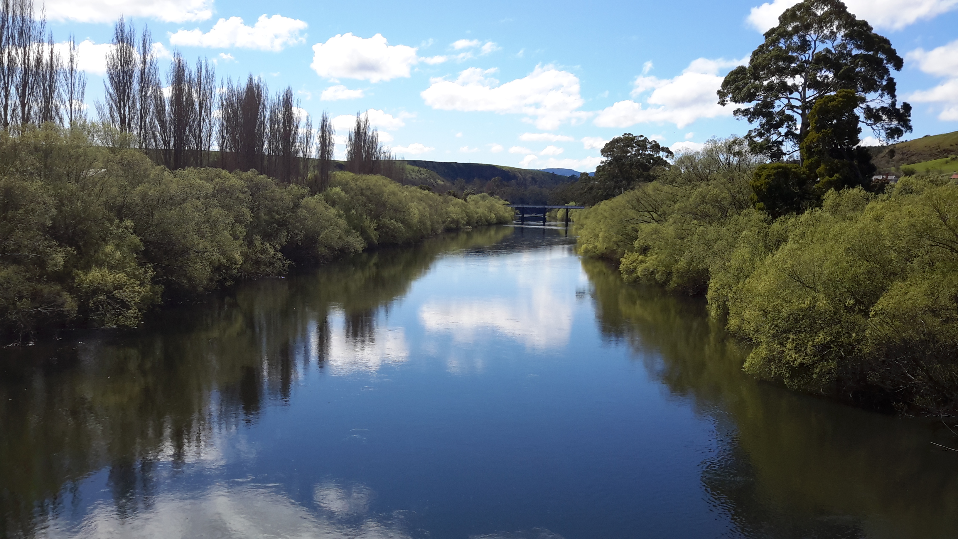
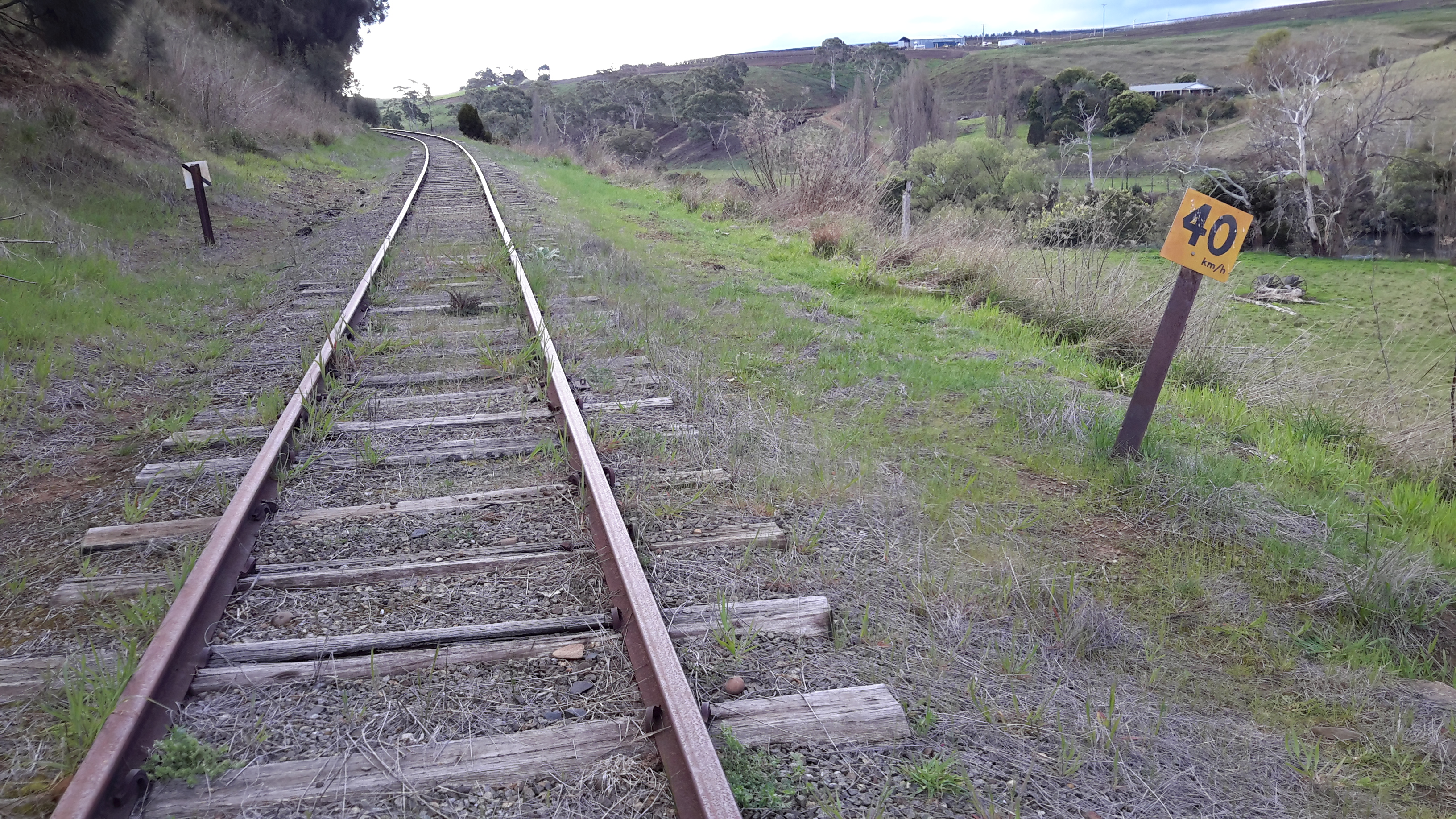
During my last walk, I reached the township of Gretna. From now on, as I head inland towards Lake St Clair, I expect to be accompanied by a friend who will drive me to key locations. Whenever we ‘touch’ the river I will walk north and south along the edge to the extent that the river and the landscape allow.  Gradually, I will walk past the river until I sink down with pleasure on the dam wall at the southern end of St Clair Lagoon with my goal achieved.  The next stages of my walk will represent the collection of the final pieces of a fabulous patchwork quilt – and once I have all the pieces, I will stitch them together into my blog to record a sequential and seamless walk from Gretna to Lake St Clair.  And then I will write two books: one will be a how-to-do-it publication for tourists and locals who want to understand how to use public transport to discover the river edges, and the second book will be a fictionalised account of my walk.

Possible locations where the Derwent River can be ‘touched’

I have compiled a list of those locations where I believe, with a vehicle, it will be possible to ‘touch’ the Derwent River occasionally along its length between Gretna and Lake St Clair.  Please let me know if any section listed below takes your fancy and if you would be interested to try it out.

Almost all sections include driving on bitumen highway, gravel roads and poor tracks. Some of these may be forestry roads.  If you wish to volunteer to take me to one of these sections (let me know on walkingthederwent@gmail.com), please feel comfortable that your car can handle the different conditions.  Of course, common sense will prevail and we will never push on if a road is too rough for your vehicle and your peace of mind.

If you are happy to help me reach my goal, albeit differently than originally expected, I would like to fill up your tank with petrol as some compensation.  You know my ‘walking the Derwent’ is a non-commercial project, but since I do not own a car nor drive, I need transport – and therefore, I am happy to cover the cost.

  1. On eastern shore – From New Norfolk drive along the Lyell Highway and then, not far past Gretna’s Sports ground, take a left turn into Clarendon Road and drive to farmstead buildings about 250 metres from the river on a hill. Perhaps 140km return trip.
  2. On western shore – From New Norfolk drive along Glenora Road, and turn left at Bushy Park then right onto Meadowbank Road over the Tyenna River then next to Derwent, then on over Meadowbank Creek to a hill top with buildings. It may be possible to continue quite a way on this road. Minimum 130 and maybe up to 160kms return trip
  3. On eastern shore – From New Norfolk drive along the Lyell Highway and turn left off the Highway onto Meadowbank Dam Road. Continue to dam and southern end of Meadowbank Lake. At least 170 kms for round trip.
  4. On western shore – Travel from New Norfolk and turn left into Gordon River Road at Bushy Park, then turn right off Gordon River Rd into Ellendale Rd and then right onto Rockmount Road before you reach the township of Ellendale. There seem to be many dirt forestry tracks to Meadowbank Lake. At least 170kms return trip and maybe 200kms return or more depending on roads.
  5. On western shore – Travel from New Norfolk and turn left into Gordon River Road at Bushy Park, then turn right off Gordon River Rd into Ellendale Rd and drive on through the township of Ellendale until you reach Dawson Rd / Dunrobin bridge over Meadowbank Lake. Turn left before bridge and it seems we can drive 2kms further up along the Lake edge. Return to Ellendale Road, cross bridge and connect with the Lyell Highway. At least 170kms return trip and maybe 200kms return or more depending on roads.
  6. On eastern shore – From New Norfolk drive up Lyell Highway and continue past the left turn off to Dunrobin bridge and afterwards and to the left there are a number of dirt tracks seemingly without gates. After a while these tracks/roads only extend to the Ouse River and not the Derwent River so map consultation is crucial. At least 180kms return and maybe over 200kms return depending on how many side roads/tracks can be driven along.
  7. On eastern shore – Drive up Lyell Highway past Ouse then turn left at Lake Repulse Road. Continue to intersection with Cluny Lagoon Road and turn left and go to Cluny Dam. Return to intersection and continue on Lake Repulse Road to the Repulse Dam. Can cross a bridge and continue back south around Cluny Lagoon to a ‘settlement’ named Cluny.  Perhaps could access this road from the Ellendale Rd on the western shore? By driving north from Repulse Dam along Dawson Road/then renamed Thunderbolt Road it seems we can take right hand detours to Lake Repulse. Over 200kms maybe 250kms or more minimum round trip.
  8. On eastern shore – Drive up Lyell Highway past Ouse, over the Dee River until the sign appears for a left turn at Catagunya Road. Drive down to Catagunya Dam. 200kms minimum return trip
  9. On eastern shore – Drive up Lyell Highway past Ouse, over the Dee River, past Black Bobs and turn left at Long Spur Road. This runs around Wayatinah Lagoon. Go past the intersection to Wayatinah Dam, turn left and travel to Wayatinah Power Station on Lake Catagunya. Return to intersection and turn left and travel to Wayatinah Dam. Cross bridge and continue on to Wayatinah township. Access dirt tracks in the vicinity of all. Drive south from the Wayatinah Dam on the western shore along the Florentine Road but don’t bother crossing the Florentine River because the road goes inland away from the river. Minimum of 230kms but most likely  at least 300kms round trip.
  10. On eastern shore – Drive up Lyell Highway and when you reach a canal passing under the road, and where the road turns right to go to Tarraleah, go straight ahead on Butlers Gorge Road. Note there are limited roads off and around going closer to the river near that intersection. Continue along Butlers Gorge Road for 10-15 kms heading for Lake King William. Reach Clark Dam and Power Station. Continue onto Switchback Track along side of Lake King William. This track stops and you have to return the same way – swamp separates you from the track north about 500 metres away. This would be a big day and I suggest take overnight accommodation at Tarraleah before setting out. PERHAPS it is possible to walk across the swamp and then walk about 7 kms to Derwent Bridge. Unknown over 300 kms return trip.
  11. On eastern shore – Drive up Lyell Highway to Derwent Bridge and continue past to left hand turn off on the western side of Lake King William and drive the track to the lake. 360 kms return trip minimum.
  12. On eastern shore – Drive up Lyell Highway to Derwent Bridge. Walk from the bridge over the Derwent River near the township of Derwent Bridge to St Clair Dam at the bottom of Lake St Clair Lagoon where the Derwent River starts. Walk to Pump House Point and St Clair Weir at the southern end of the Derwent Basin. 350kms return trip minimum.


Touching the River

Blog followers know that electrified and barbed wire fences, unenterable gates, tangles of thorny blackberry canes and impassable private property have limited my direct access to walk against the Derwent River.  Since my project is not to walk on the highways and byways, and knowing I cannot start out from Gretna and go further by the River as I have hoped and wanted, I believe I need to change my ‘rules’ about this project.

The changes must happen because I am determined to get to the source of the River at Lake St Clair, even if it means doing so by using transport provided by friends, and if it means I can’t be near the river every metre of its length.  I feel I must accept what is possible rather than wailing about the impossible.

Therefore, I am researching all the main roads, backroads and tracks that go towards the river with its dams and lakes, and which do not have locked gates across them preventing access. I plan to create a list of these opportunities and then ask friends whether they would like to volunteer to drive me to one or more of the options.  In the next few days I will post the list on this blog – perhaps there may be other southern Tasmanian blog followers who would like to volunteer to drive me to one or more of these ‘touchings of the river’ – if so, when you see the list please email me at walkingthederwent@gmail.com.

Wherever I ‘touch’ the river I hope to be able to walk north and/or south as far as possible simply to feel more comfortable about saying, in the future, that “I did my best to walk from the mouth to the source”.  That is, I want to limit the amount of qualification I will have to give to that statement.  Quite possibly when I reach one of the touch points, I may determine a longer walk can be achieved. If I find this to be the situation, then I will return with backpack and tent if necessary.  In this way, the touchings of the river will amount to a reconnaissance.

Another option that I am investigating is whether I might fly either in a small plane or helicopter and follow the curves of the Derwent River, photograph it from on high and then incorporate the photos into stories about those edges of the river on which I cannot walk or otherwise reach.  I suspect flying may be out of reach financially so the thought of crowd funding has crossed my mind.  But before then, more research will be needed.

The option to canoe/kayak along sections of the River scares me half to death.  A family friend recently travelled in this way over a short section and has never been so frightened.  Apart from the dangers of the Derwent River’s water levels being unexpectedly changed as the water volume in upstream dams are managed, the dozens of rapids that punctuate so many stretches of the river present unsupportable dangers. I guess I lack the courage to try.  Or maybe it’s the unbelievably cold water I don’t want to fall into.

What haven’t I thought of? Any suggestions will be welcome. This idea is too much fun to be stymied by physical barriers.

Postscript on Stage 15’s walk from New Norfolk to Gretna

Throughout my project to walk from the mouth to the source of the Derwent River, I have been urging readers to walk some or all of the stages I have undertaken just for the pleasure of it. But I cannot do so for Stage 15. I cannot recommend that you follow in my footsteps and take this walk from New Norfolk to Gretna.  I cannot suggest you walk on private property without permission.  I cannot encourage you to walk on the narrow roads with speeding drivers where no pedestrian access has been provided.

I am so sorry to say that, if some of my recent posts inspired you to put on your walking boots and tackle the roads and paths and tracks, you must take them off.  I must only recommend you access a car and drive the road route for Stage 15.  It will mean you will miss out on seeing the black velvet ears of cattle in the moonlight, hearing the river ripping along towards Hobart, meeting those who move cattle or wheelie bins, and enjoying the smell of fresh air.  It will mean you will pass some of my favoured finds so quickly that, in a blink, you miss them altogether.  However, you may not grind your teeth in frustration that access to the Derwent River is denied you so often, you may not get run over, and you may not be shot by a gun toting land owner.

Take care.

Tassie Link back to Hobart

When the Tassie Link bus rolled to a halt at Gretna, I was surprised it was only a small one designed to carry approximately 20 people. I later learnt that if there are minimal bookings the small bus is used but with more bookings a standard larger bus is put into service.  This is the main bus line that links the historic west coast to Hobart via Lake St Clair.  Previously, I had been surprised that the service only runs four days a week, making the development of travel plans more challenging for tourists and locals alike.  Obviously most people drive.

As the driver got out to collect my fare, the side door was swung open by a happy guy and everyone on the bus called out a friendly “Hi” followed by the command, “Give us y’ pack”.  My pack joined a high pile at the back of the bus and once I sat, the happy chat began and lasted through to Hobart.  Everyone was on holiday from different part of mainland Australia and they had all just finished walking the Overland Track from the famed Cradle Mountain to Lake St Clair. Similarly to me they had been at the Derwent Bridge pub for a few hours waiting for the bus to arrive. So we were all very merry regaling each other with the stories of our walks.  It was the perfect ending to a brilliant two days of discovery.

When I walked in through my front door at 11pm, a warm glow spread across my face.  I was home!

Settling in, indoors+

Once inside the Gretna Green Hotel, immediately I felt comfortable.  I walked out to a back room, plonked my gear and then hung onto the bar looking eager.

“Would it be possible to have a shower?  I’m happy to pay.  I don’t care if the shower is in the private residential quarters upstairs.  I’ll even clean it afterwards if that will help.  I’d REALLY like a shower.” All said with pleading eyes.  ‘No. Can’t do,” said the barman.  I stared with desperate eyes, waiting for an explanation.  Apparently TasWater, which manages water quality and delivery around Tasmania, has declared the water at Gretna to be so unsafe that no-one should drink it, and the locals deem it so bad that there is a flow on risk with showering and washing your clothes in it.  “Well we all shower in it, but that’s the risk we take”, barman Brad informed me. “But we won’t let you take the risk.” I spoke up. “If you shower in it then I am happy to shower in it and will even sign a slip of paper saying I am accepting the risk against your advice.”  “No can do. Nah. Sorry.  The publicans won’t allow it,” was the barman’s response. He was trying to be helpful and so I saw no point in putting him offside.  After all, my bus back to Hobart wasn’t passing through Gretna for another 7 hours – I reckoned that creating an aggro situation wouldn’t be smart.

“OK. A bottle of water and a cup of black tea please.”  The cup with its tea bag was soon in front of me.  While the hot drink cooled, I sculled the bottle all the time sitting and chatting to friendly and informative Brad.  After the second bottle and second cup of tea, I began to feel refreshed.  I made up my mind to get clean including brushing my teeth (in the offending water) and to change my clothes, so off I went to the toilets and slowly completed the ablutions and the makeover.  When I left the cubicle, I felt like a new person. I was rehydrated within from having imbibed the fluids earlier, and now I knew I looked different. I felt so much more alive. I only had to survive the waiting time until the bus came through. Only 6 hours to go.

Arriving at the Gretna Green Hotel

Earlier research indicated that a general store operated on the western side of the Gretna Green Hotel so I padded up the Lyell Highway, past the drinking establishment and its drinkers resting on their vehicles outside, and stood in front of the glass fronted shop. The dust was settled. The space was empty. Clearly no-one had been inside for a long time.

I turned and plodded down to the pub, giving the chatty locals something to take their minds off their beers, and entered a small historic building with many small rooms leading off each other.

Gretna Green Hotel

Strangely, I forgot to take a photograph when I first looked at the hotel.  This image comes from the internet – please note accommodation is no longer offered. I have just discovered the pub has its own Facebook site with more photos.  Hmm. I must write a review for them.

The last metres into Gretna

Footsore and weary but exhilarated, I walked the final metres into the tiny township of Gretna by passing the exotic bright yellow flowering weed, which when a child I knew as, ‘Broom’.

20150918_143130

I took my second last look at the Derwent River, and across to the land known as Triffitts Neck.

20150918_143507

With slumped shoulders I passed the two locked gates which signalled a barrier to my starting the next stage of my walk.

20150918_143624

But up above me on the immediate hill sat something remarkable.

20150918_143520 20150918_143706 20150918_143941 20150918_143945

You can see the Derwent curving around the bottom of the hill, in the distance. An earlier posting included a professional photographer’s shot of this cemetery cross taken from a different angle.

Finally, step after step I reached the town sign and gave myself a mental pat on the back.

20150918_143816 20150918_143830

Nearing and then on the Lyell Highway

The pastures continued lush and green.

20150918_132218 20150918_133407

You can see a short stretch of the Derwent River in the second photo and the township of Gretna (the destination for this stage) is located on the hill above.

20150918_133542 20150918_133521

Massive log trucks, taking their pickings to market from our pristine wilderness forests, roared past me.

20150918_133413 20150918_133501

Before long the Lyell Highway, which connects Hobart to the west coast mining towns of Queenstown, Zeehan, Strahan and Rosebery, appeared in view.

20150918_134034

I turned left towards the township of Gretna (which, I note was not listed on any of the signs in the vicinity of this intersection). A few isolated properties, of various vintages, edged the highway.

20150918_134526 20150918_134801

20150918_134532 20150918_134756

20150918_134903 20150918_135203

Each step took me closer to my destination for the day.

20150918_135012

Then the Derwent River came back into view as it snaked its way beneath Gretna.

20150918_135353 20150918_135440

20150918_142556 20150918_142732

20150918_142734 20150918_142924

The sign indicating only 500 metres to the Gretna Green Hotel brought on the thought of a long cold drink and filled me with excitement.

A 1904 church

From a distance, the structural framework designed to hold the hop vines ‘caught’ a church like a spider’s web. I walked quickly to find out more about this decorative little building.

20150918_120643

I learned that this very pretty St Augustine’s Church, which sits a short distance from the township of Bushy Park, is part of the Anglican Parish of Hamilton.

20150918_120812

A very large tree effectively blocked opportunities to take full frontal photographs. From the Gretna end of the building, the church appeared as follows:

20150918_120848

I found little background on this church. The foundation stone was laid on the 20th July 1904 by the Right Reverend J.E. Mercer D.D. who was then Bishop of Tasmania.  According to the Tasmanian Anglican,St Augustine’s church is nestled in the picturesque hop fields at Macquarie Plains. This beautiful little church has experienced huge floods over the years, with the 1960 flood almost reaching the guttering, where a small plaque now records the level. It was during such floods that many records were lost or damaged’.

The church is listed on the Tasmanian Heritage Register.

Bushy Park’s Sports Oval

Bushy Park’s sports arena was a typical rural affair; a large expanse of featureless green, a toilet block, a tiny visitor building (‘geez mate it’s starting to rain let’s go and stand under the verandah’), a track, and not much more.  No football goal sticks in sight.

20150918_113424

Barbed wire fences prevented me entering this area and therefore I could not walk to and then walk by the river. I continued along the road, and turned right at the T-junction. A left turn would have taken me away from the Derwent River to Glenora, Mount Field National Park and further afield to Strathgordon and Lake Gordon.  By turning right I was on the way to the day’s destination of Gretna.

20150918_113856

The local hops growing association seems to own the Bushy Park sports oval and offers ‘day use’ only from this entrance point on the road to Gretna.

20150918_114143 20150918_114147

Looking back along the road:

20150918_114000

Looking forward along the road:

20150918_114035

This glorious afternoon was improved by the sensational golden blossoms of this wattle tree:

20150918_113757

Hop farms

Suddenly, I was on the outskirts of the tiny town of Bushy Park and hop fields began to edge the road.  In case you don’t know, hops are the raw material for beer so the agricultural activity in this area is serious business. In Tasmania we have two mainstream brewers; the Cascade and Boags breweries plus other interesting boutique beer makers.

20150918_104145 20150918_104214

The Beer Pilgrim  has lots of photographic information to offer. An ABC news item includes photos of the hops and some processes. In addition, information about the growing patterns of hops, their harvests and other details are located at Hop Products Australia abbreviated to HPA.   I was fascinated when I read ‘The hop plant originated in China, but it was the Germans – way back in the 11th century – who first discovered the crop’s potential as an ingredient for beer, and they’ve been at it ever since.’ I wondered whether the world would be a different place if the Chinese had made that discovery first.  What would be the Chinese equivalent of an Oktoberfest?

20150918_104512

When I read the sign in the photo above, I felt good that I hadn’t found a way to walk on the river edge on the other side of these hop fields – if I had, then the soles of my shoes might have delivered exotic seeds or destructive pests to the ground.

As I continued walking, I enjoyed looking at properties and different vintages of houses.

20150918_104908 20150918_104945

20150918_105413 20150918_105504

20150918_105631 20150918_105841

20150918_105603

The hop vines were not yet growing up the lines so the views across the paddocks were relatively uninterrupted. Before long, across a hop field I could see specialised hop buildings near private houses.

20150918_105817

Then, as I reached 1 Acre Lane, at the far end I could see Oast Houses and other large buildings.  In the Google Map photo below the hops have grown up the vines on the left and they obliterate the views I had over the empty paddocks – but this is the lane if you are visiting Bushy Park and looking for what I could see. On the street view of Google maps no sign naming the lane is in evidence, but since that street view was made a sign has been attached to a pole on the non-lane side of the road.

Bushy Park lane to oast houses

My feet were aching and touchy at each step. I wondered whether I had it in me to walk down the lane to see whether there was public access and have a look around, and then have the feet to walk back to the road.  I still had quite a few kilometres to go to reach my day’s destination at Gretna and I felt rationing my steps could be a good idea.

Just then an old woman, on the main road, was dragging two large empty rubbish wheelie bins towards me and the lane.  A tiny lady, I felt she could have fitted inside one of these.  It looked like a massive effort for her. She was pleased to rest and chat with me. I asked if public access was available and she told me that I could look around the buildings but not in them, and that most were heritage buildings and no longer operational. She headed off down that very lane. That long lane.  After she had taken a few steps she stopped for a rest. I realised this was a weekly challenge for her after the rubbish had been collected. I had no idea how far she had to walk with the bins, and since I could not see any residential houses I guessed that somewhere at the end of the lane in the precinct with the Oast Houses and other specialist hop buildings, she had a house. I called out ‘Can I give you a hand and take one of them?’  She didn’t have the energy to look grateful and simply said, ‘Yes’.

With apologies to The Beatles – The long and straightened road / That leads to her door / Will never disappear / I have not seen the road before / It will always lead me there / Lead me to her door

Unpredictable water levels

20150918_102136

This sign is located near Rayners Corner beside Glenora Road on route to Bushy Park.

Years ago a friend and I drove up along the Lyell Highway, and then took a track down to the river somewhere between New Norfolk and Gretna.

We walked across a gravel bed to a rocky scrubby clump edging the water.  For a couple of hours we sat on the river side with our feet swinging above the glossy glassy black racing water of the Derwent River, lulled by the sun. I remember the clear reflections of the dense vegetation on the other side of the river. It was a joy to see fish rising to grab an insect that had been flitting near the water surface. Clouds began to pile up in the distance and around that time I looked down and realised the water was nearly touching my feet. The river’s water level was rising. We clambered back to the other side of this outcrop and discovered, to our horror, a swirling and dramatic pour of water separated us from the river bank. In recent blog postings I have mentioned the speed with which the Derwent River travels towards the sea. That day was my first experience of its dangerous fast moving flows.

The river was rising as we watched. We were stranded on an island and we didn’t know how much water had been released upstream. This meant we didn’t know whether the island would become submerged. Within seconds we knew we had to try our luck and get back to land.

Quickly we cast our eyes around for a couple of suitable branches that could act as walking sticks, as balancing poles, so we could cross the raging torrent.  Each of us started the crossing with a balancing stick. I remember stepping into that cold water and finding how uneven the ground was. It was not a simple gravel bed rather I was trying to walk on irregular sized rocks that rolled when I was pushed onto them by the force of the water. I remember that it was important to tread slowly and to lean my body at an angle towards upstream to counteract the pressure to send me downstream.

When I started the crossing the water level was at the top of my thighs. The distance wasn’t far but the water reached around my waist and splashed higher as I approached the safety of the river bank.  Once out of the water, we felt exhilarated.  But we both knew the danger we had been in.  And similar signs to the one in the photograph above were not around.  Situations like this remind me of the powerful importance of local knowledge.

Starting out last Thursday

Blog followers know I have waited almost impatiently for Spring weather to arrive; I had been so eager for my walk from New Norfolk to Gretna to be pleasantly memorable.  At home the early morning sun shone and Hobart sparkled.  At 8am the Derwent Valley Link bus departed from the city. I was the only passenger until well into the Northern Suburbs when school kids jumped on and took over – as kids do.  By the time the driver dropped me at New Norfolk central the sky was grey and a stiff cold wind blew. The day seemed as dull as the car park (note the bus shelter in the centre).

20150917_090036

Determined not to be distracted by the weather, I headed off towards the bridge over the Derwent River, past the historic Bush Inn.

20150917_090300

I was ready to follow signs.

20150917_090312 20150917_090405 20150917_090656

I needed to follow the road which led to the Salmon Ponds (although I expected to bypass this location during my walk), however I deviated to the right so I could stare at the Derwent River from the bridge.  At first I looked down onto the mown lawn where I finished Stage 14 of the walk.

20150917_090850

Then I swung around to look at the river from the inland/western side.

20150917_090914 20150917_090928

After retracing my steps I was ready to embark on the next adventure. After turning into Glenora Road (designated as B62) on the southern/western side of the Derwent River, I proceeded past St Brigids Catholic School.

20150917_091204

Between the few suburban houses I caught glimpses of the river and then, within minutes, I was leaving New Norfolk.

20150917_092751

For many kilometres, my view of the river was rationed. Occasionally I spotted the beautiful river through an inaccessible profusion of weeds. Mentally I stripped away the vegetation and loved the changing surfaces of the river and the speed with which it flowed.

20150917_093031 20150917_094036

Everywhere I looked was lushly green or silvery blue. I was thankful that the overcast sky allowed the colours to reverberate and seem so much richer.

Lots of R&R on Stage 15

There was no rest although perhaps everything I did was recreation. The R&R’s I had in mind were quite different.

I had little choice but to walk on Roads and Railway lines for the majority of my experience from New Norfolk to Gretna. You can deduce from my previous posting this wasn’t where I wanted to walk.  I had hoped for soft ground directly next to the Derwent River as much as possible.

Roads

Over the first kilometres west of New Norfolk, the bitumen minor road towards the townships of Plenty and Bushy Park was narrow, and the road verges were tiny or non-existent.

20150917_093049 20150917_093104

To my right, initially house blocks got in the way of my ability to access the river directly. Before long it was metal guard rails, steep drop offs, and weedy tangles which provided a permanent separation. I walked patiently along the road edges changing sides every few minutes to try and get the safest side where I was least likely to be side-swiped by speeding vehicles. Natural gutters with stagnant green slime, or dry mini gulches below the road edges required me to be careful not to tip over when stepping off the road. Apart from not being knocked down by traffic, keeping my balance and not twisting an ankle were paramount concerns. Up and down, across and back.  These were the rhythms for many kilometres.

20150917_094301

In that early period I thought of owners walking their dogs; dogs off a lead. You know – the dog runs ahead then runs back to you then runs off and runs back etc etc.  In the end your dog has ‘walked’ two or three times as far as you. Similarly, as I stepped into and climbed out of gutters, the distance I covered seemed to double or triple.

At some points along the road, the guard rail was only a foot / 30 or so centimetres from the road making it very dangerous to be walking such sections. To protect myself, when a stream of cars was approaching I stood with my back to the rail and backpack hanging over towards the river, and held myself tightly against the rail so that the whoosh of cars or their side mirrors wouldn’t catch me.  It was on one such section that a couple of cars approached and the front one slowed (with the second doing his best not to ram accidentally into the front car, and crash into me at the same time) and stopped in front of me.  The old fellow rolled down the window and asked if I needed a lift. I pointed out he was going in the direction I had walked from and that I was happy to continue in the other direction on foot. Thanks but no thanks.  As I moved on, he drove off.

Later a couple of people stopped and offered me a lift. I think all offers were genuine. But I accepted none. I stood out on the road as an oddball. People just don’t seem to walk much anymore; certainly not on highways and byways.  And road planners show no expectation of pedestrians in their designs.

Some of the road surfaces were rather special. I rather liked the green lichens gradually growing across the black bitumen; I guess there is simply insufficient traffic numbers to wear it down, in this part of the world.

20150917_104540 20150917_104533

The special patchwork quilt of a road shown above made me wonder whether this bit was at the extremities of two local government areas. I suspected that both Councils might be thinking that repairing this road was the responsibility of the other.

Occasionally I had the bliss of walking on smooth green soft grasses away from potential close contact with traffic.

20150917_140331

On other occasions the green was deceptive with uneven ground hidden beneath, sometimes containing rabbit scratched holes.

20150918_080020 20150918_123816

Road bridges over rivers provided me with the greatest stress mostly because each was unavoidable and I needed to cross over them. Narrow with only two-lanes and without a pedestrian pathway, these were usually preceded or followed by sharp enough corners so drivers were onto the bridge before they could see what else was on the bridge.

Plenty River bridge

20150917_140323

Styx River bridge

20150918_114313

Towards the Derwent River bridge

20150918_121005

I gave the bridge over the Derwent between Bushy Park and Gretna a lot of thought, including considering whether to hitch a ride across it, before taking a deep breath and walking across. The bridge was long with a sweeping corner at one end. It had only one lane with signs at each end that indicated to drivers they should not enter the bridge if another vehicle was travelling across. I was aware that massive multiple-trailer log trucks were regularly on the road, as were other heavy and large transports, and of course locals who whizzed their way everywhere at high speed.

20150918_133413

I wondered how much drivers could be trusted to follow the directions and to slow down. I waited until there was no sound of oncoming traffic from the two distances, and then I hastened across.  But the view distracted me; it was so wonderful looking up and down the river that I felt compelled to take a photo in both directions. I clicked quickly as a large 4wheel drive flashed onto the bridge. I held myself back against the rail as he sped past glowering all the way.

20150918_121215 20150918_121218

Railways

First and last I walked on main roads but in between I often had no alternative but to walk on the variously rotting sleepers of an unused railway line.  I couldn’t create a walking rhythm: the sleepers were irregularly spaced and irregularly sized and the spaces between each were filled with rocks, gravel, dirt or grass and weeds. Sometimes there was no fill.

20150917_154454

In this region, the railway line runs on the northern/eastern shore and then, about two thirds of the way from New Norfolk west to the district of Plenty, it makes a diagonal line crossing the Derwent River.  I met the railway on the southern/western side and was able to walk under the old sandstone supports on the river bank before proceeding westwards by following the river closely.

20150917_115135 20150917_115338 20150917_115354 20150917_115459

Later I reached the railway bridge over the Plenty River, where a quick reconnaissance indicated some sleepers were missing and others looked suspiciously like they might disintegrate under weight. My weight.

20150917_135821

For 30 seconds I thought about whether to cross the bridge. I decided that walking on the metal rail track could be safe enough for those experienced with walking on gymnastic balance equipment, but not for those carrying a backpack, nor those easily thrown by sporadic wind gusts. Instead I detoured onto Glenora Road crossed the road bridge and then made my way off the road and back to the railway line.  Thick impenetrable vegetation prevented me from walking closer to the river so I stayed on the railway line for many kilometres, with an occasional foray closer to the river. However, mostly I found it impossible to proceed and returned to walk on the railway line.

This railway line walk should be a stunning place in autumn especially where rows of well-established poplar trees marked the edges. I know the leaves of poplars turn gloriously yellow after summer.

20150917_141506

Towards the end of day one of Stage 15, an impending rainstorm seen at the end of one stretch of line prompted me to look for a suitable campsite.

20150917_160047

A while later I pitched my tent beside the line.

20150918_070950

Next morning the sun was shining, despite very low temperatures, and the glorious views lifted my spirits. I received a text from blog follower Ju that Rail Track Riders http://www.greatrailexperiencestasmania.com.au/event/rail-track-riders/?instance_id=485844 would be in motion along the line during the day. What I surprise for them it would have been to find my tent on the side of the line – but I was well gone before I suspect there was a movement at any station back up the track.

After Bushy Park and en route to Gretna I saw my first railway sign when the track crossed the road.

20150918_121809

Looking back, clearly no railway vehicles had travelled this way in a long time.

20150918_121827

Now cyclists and governments are discussing ways in which to turn this old railway track into a cycling corridor.  But no one is talking about edging closer to the Derwent River.