Tag Archives: Rayners Corner

Watch out! Cows crossing

After Rayners Corner, I walked back along Glenora Road because I could not access the property separating me from the Derwent River. The tall dry teasels made a barrier on the left of the road.

20150918_103217

When I registered the sound of a motor cycle and a quad bike on the hill, I watched two farmers sweeping down as they herded cattle towards the fence next to the road.

20150918_103300

Within moments the bike was on the road ready to halt traffic.

20150918_103408

And then the cows were out.  Their job was simply to walk from one paddock to another across the road.

20150918_103447

But along the road barrelled a speeding car which skittered the cattle so they began to run towards Bushy Park.  The car stopped short. The farmers glared. I stood still knowing if I kept walking in that direction the cows would be spooked further.

20150918_103510

Eventually the cattle found their paddock.

20150918_103621 20150918_103847

I continued walking along. Then I turned and talked with Mrs farmer while Mr farmer locked gates.  When he joined the conversation he assured me that while the cattle had a mind of their own, sheep were the particular challenge he particularly did not like when it was time to take them over a busy road.  His sheep could never be trusted to know they should not run off.

Unpredictable water levels

20150918_102136

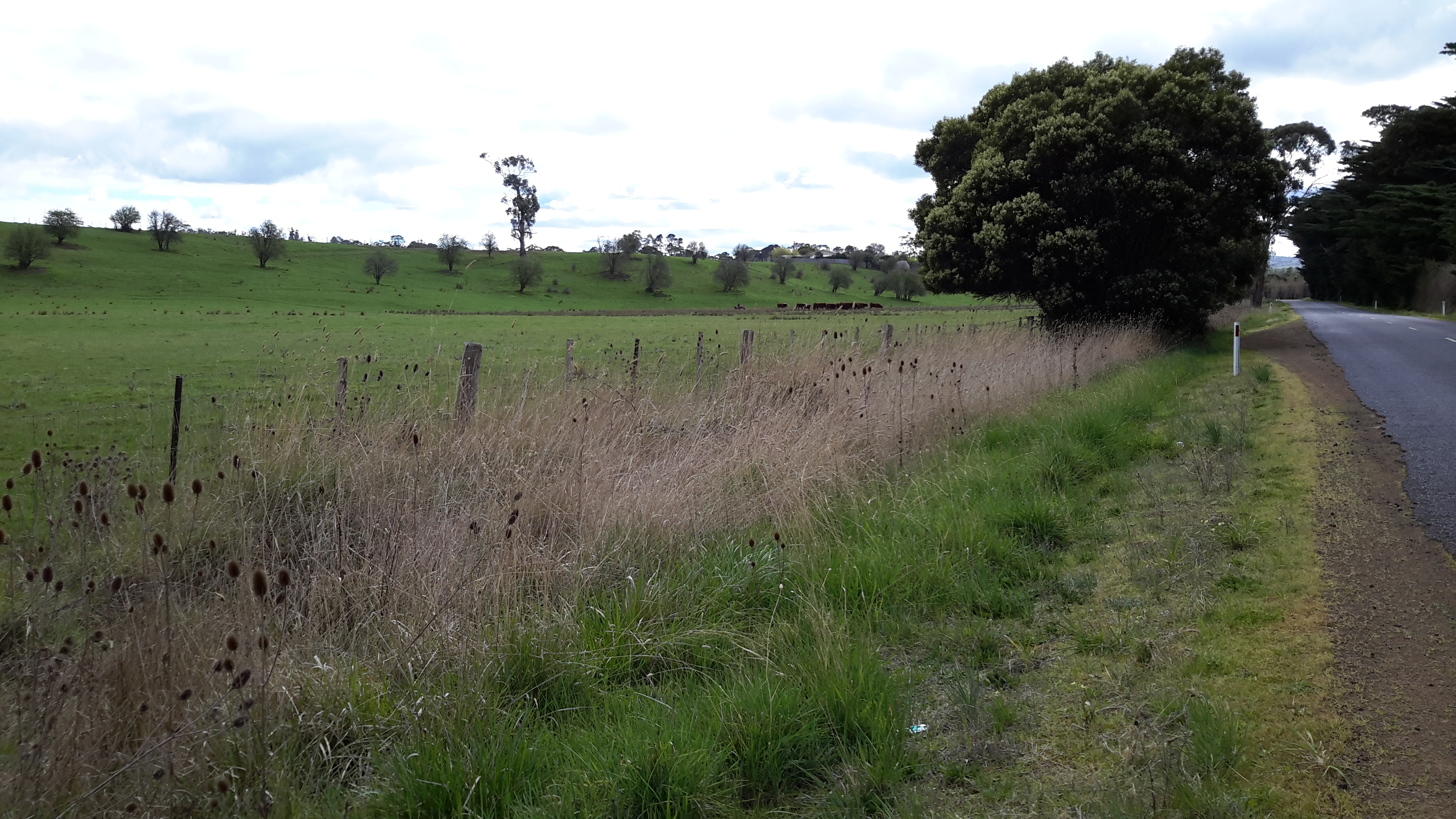
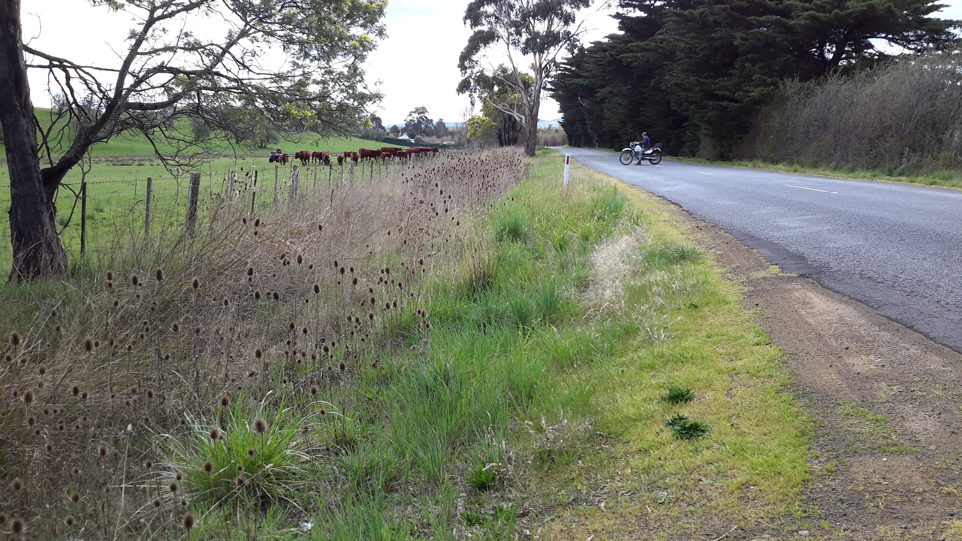
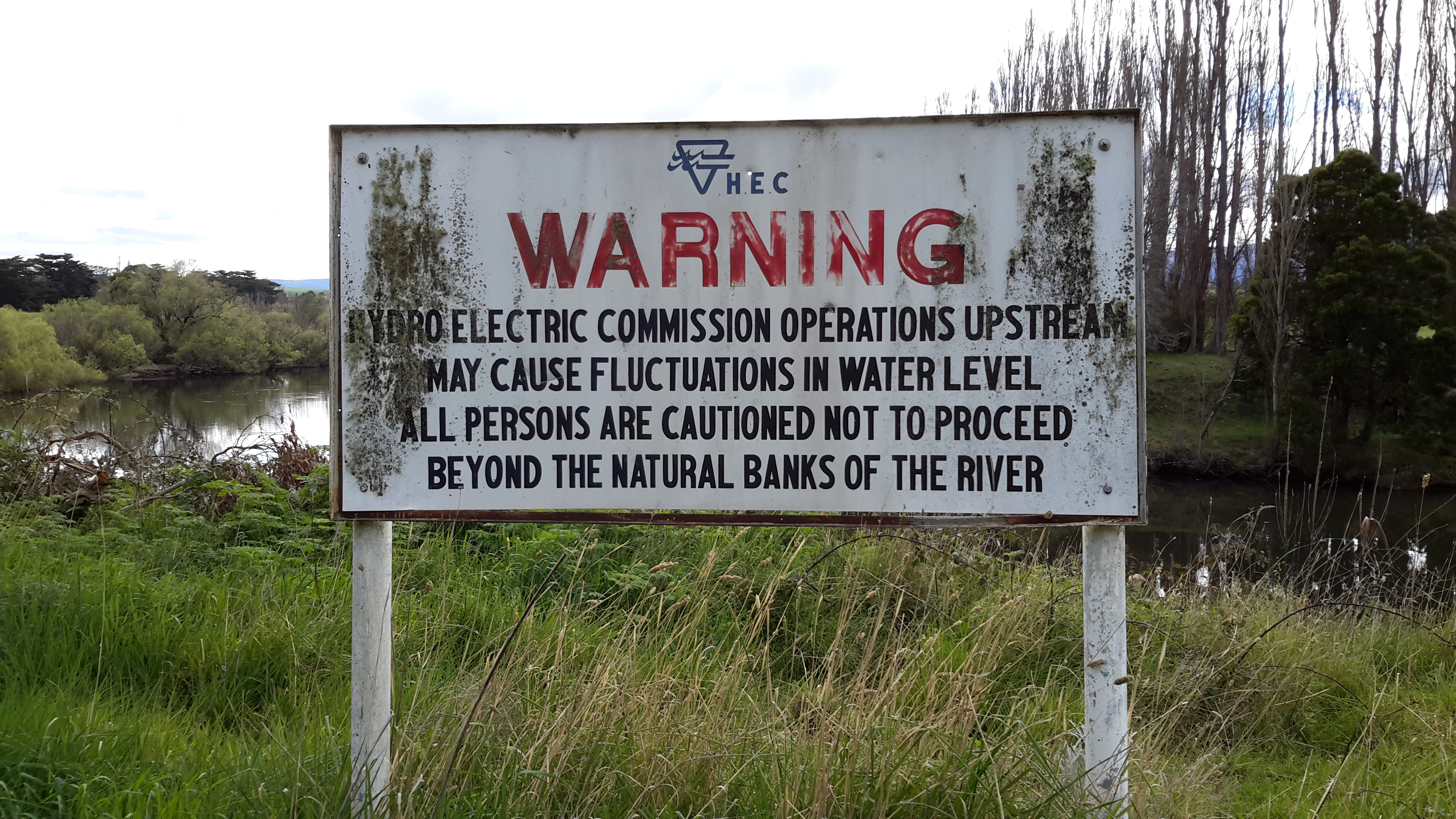
This sign is located near Rayners Corner beside Glenora Road on route to Bushy Park.

Years ago a friend and I drove up along the Lyell Highway, and then took a track down to the river somewhere between New Norfolk and Gretna.

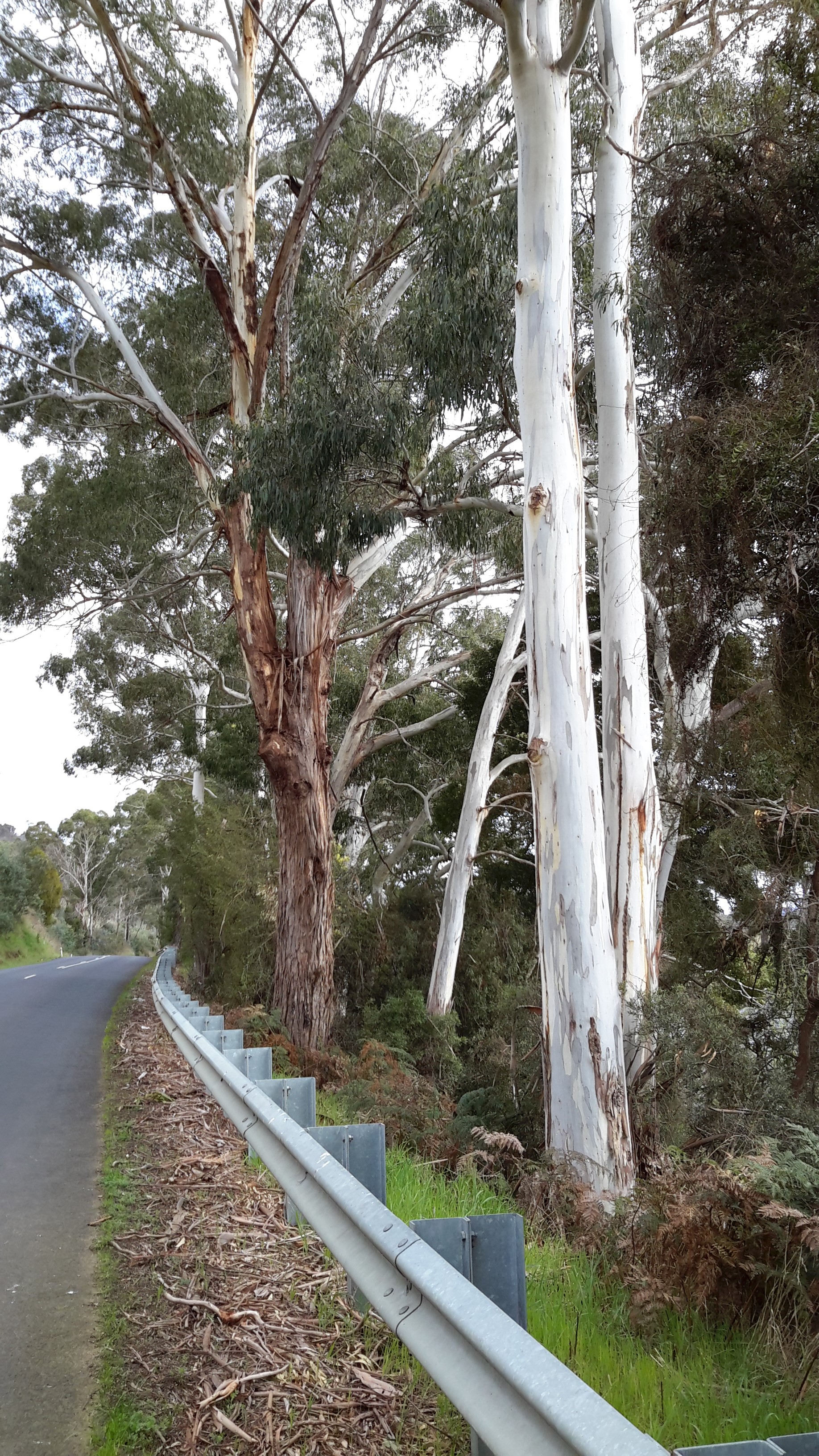
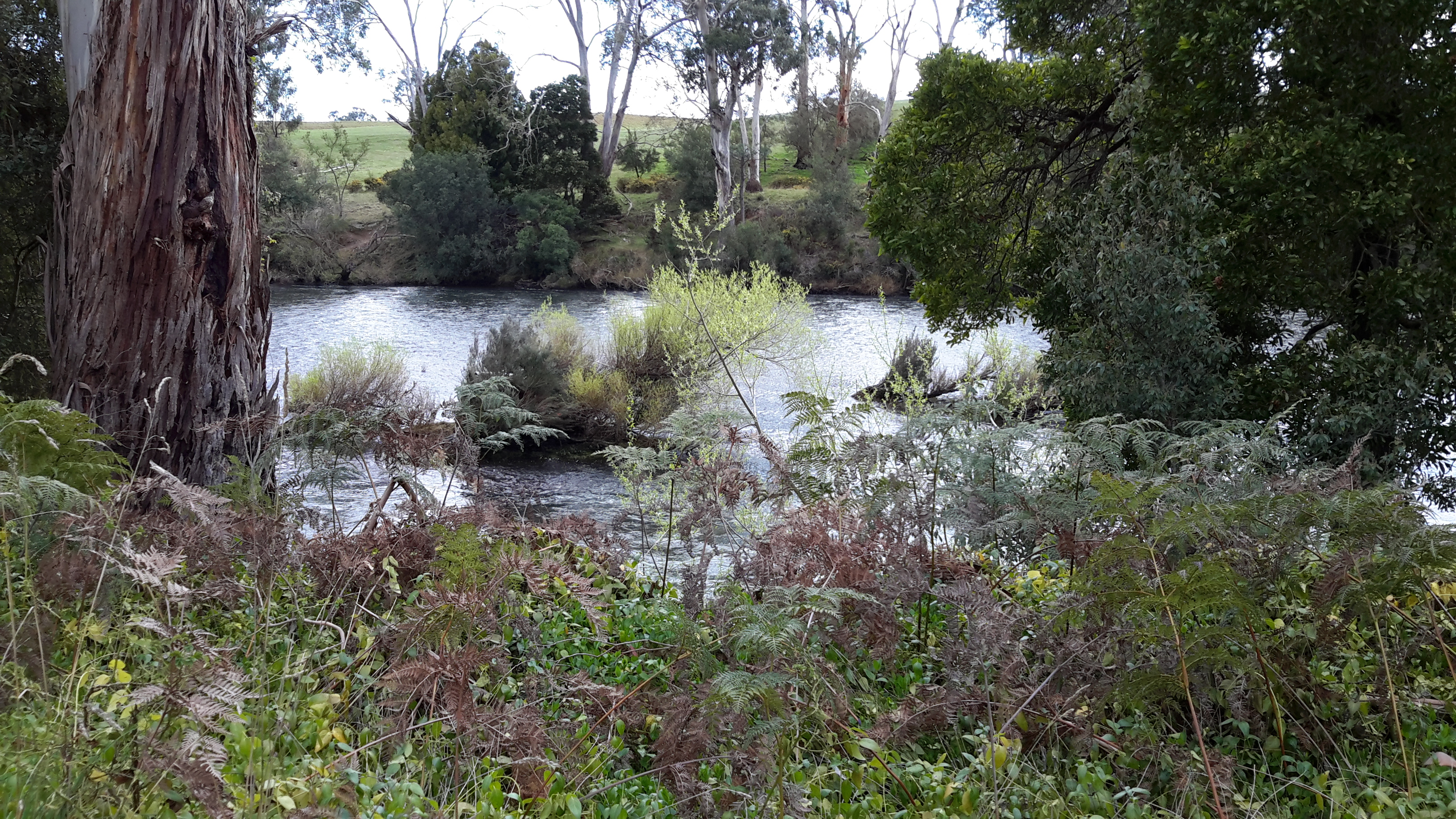
We walked across a gravel bed to a rocky scrubby clump edging the water.  For a couple of hours we sat on the river side with our feet swinging above the glossy glassy black racing water of the Derwent River, lulled by the sun. I remember the clear reflections of the dense vegetation on the other side of the river. It was a joy to see fish rising to grab an insect that had been flitting near the water surface. Clouds began to pile up in the distance and around that time I looked down and realised the water was nearly touching my feet. The river’s water level was rising. We clambered back to the other side of this outcrop and discovered, to our horror, a swirling and dramatic pour of water separated us from the river bank. In recent blog postings I have mentioned the speed with which the Derwent River travels towards the sea. That day was my first experience of its dangerous fast moving flows.

The river was rising as we watched. We were stranded on an island and we didn’t know how much water had been released upstream. This meant we didn’t know whether the island would become submerged. Within seconds we knew we had to try our luck and get back to land.

Quickly we cast our eyes around for a couple of suitable branches that could act as walking sticks, as balancing poles, so we could cross the raging torrent.  Each of us started the crossing with a balancing stick. I remember stepping into that cold water and finding how uneven the ground was. It was not a simple gravel bed rather I was trying to walk on irregular sized rocks that rolled when I was pushed onto them by the force of the water. I remember that it was important to tread slowly and to lean my body at an angle towards upstream to counteract the pressure to send me downstream.

When I started the crossing the water level was at the top of my thighs. The distance wasn’t far but the water reached around my waist and splashed higher as I approached the safety of the river bank.  Once out of the water, we felt exhilarated.  But we both knew the danger we had been in.  And similar signs to the one in the photograph above were not around.  Situations like this remind me of the powerful importance of local knowledge.

The quest for water to drink

The road narrowed. The road verges reduced in width. The traffic sped past. Vegetation grew rampantly between the road and the Derwent River. The river poured towards the sea. And I walked, occasionally sipping, and wondered what I would see over each new crest or around each corner.  Would I find accessible water?

20150918_092043 20150918_092225

20150918_092351 20150918_092652

20150918_092537 20150918_093456

A cluster of large rocks and a pull-off area for vehicles alerted me to a new chance to reach water.

20150918_102025

Rayners Corner

At the bottom of the incline, a rocky track was extended into the River with a few rocks – most suitable to fish from. And most suitable from which to fill up a water bottle! This location was on the opposite side of the river from a mapped point known as Rayners Corner (although not showing on Google Maps).

20150918_094258

I sat for a while and soaked in the clean atmosphere.  Looking back down the river I watched the hard glassy flows of the Derwent.

20150918_094313

Then I made a short video scanning the environment.

Marvellous place. Marvellous water.